★ 3 · last edited Dec 11, 2019
Wachau Valley
Location verified location
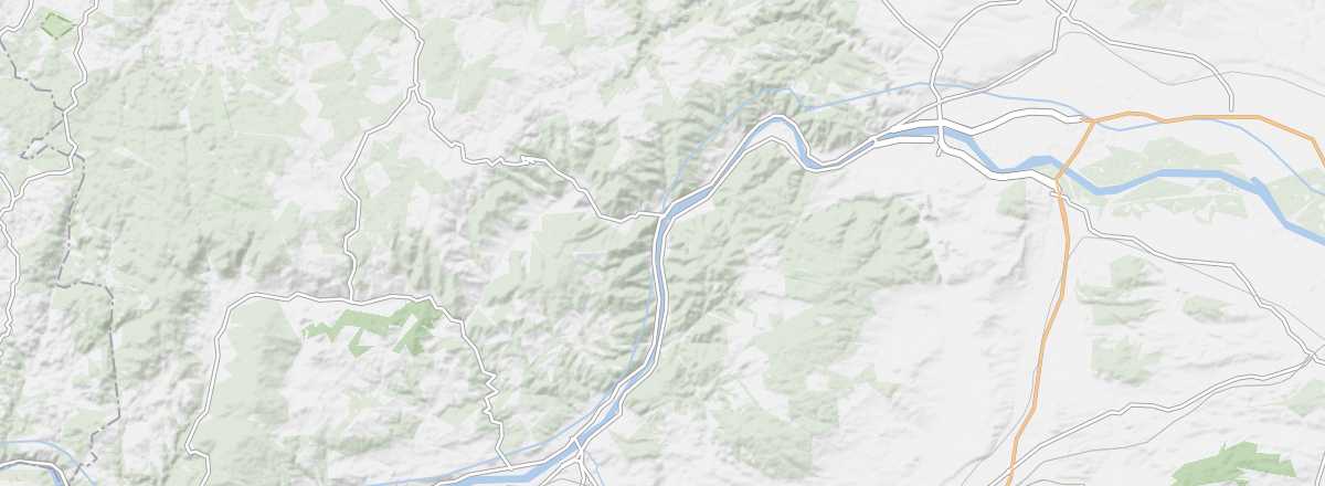 Wachau Valley
Open the interactive map
Wachau Valley
Open the interactive map
This valley, which runs along the Danube for around forty kilometres between Krems and Melk, is a major tourist destination and a UNESCO World Heritage site. Visitors come to see the old towns and castles of Krems, Dürnstein, and Schallaburg, the abbeys of Göttweig and especially Melk, the many vineyards, and the Danube itself, which can be explored on foot, by bike, or by boat.
Overview of the Wachau Valley
This valley, which runs along the Danube for around forty kilometres between Krems and Melk, is a major tourist destination and a UNESCO World Heritage site. Visitors come to see the old towns and castles of Krems, Dürnstein, and Schallaburg, the abbeys of Göttweig and especially Melk, the many vineyards, and the Danube itself, which can be explored on foot, by bike, or by boat.
Key details
- Type of place: valley.
- Tourist interest: (recommended).
- Features:
- Length: 40 km
- Altitude:
The valley’s environment
Wildlife and flora
Climate and weather
Precautions
What to see and do
Practical information
- Location:
- Distances:
- Website: https://www.donau.com/wachau/
Getting there
Getting around
Accommodation and dining
Nearby attractions
- == En complément