Mimi and Maumau, Martine and DD back again! Or the Denver-Denver loop for the 4 friends
J18: September 19. Fruita-Montrose
Black Canyon Motel- Fruita, 2 people with breakfast: 86 €.
Microwave, refrigerator. Comfortable motel not far from Black Canyon of Gunnison and restaurants. Good breakfast. Lots of bikers but the motel is very quiet.
The day before, we had chosen the West entrance, closer to Fruita, which allowed us to shorten the visit when the sky clouded over and also to avoid the setting sun in our faces.
Rim Rock Drive Colorado National Monument
This morning, we’re heading to Grand Junction and will take the East entrance for the same reason.
We leave Fruita at 8 a.m. to drive Rim Rock Drive again and do two short hikes near the visitor center.
Less than 30 minutes later, we tackle the switchbacks and tunnels that take us to the plateau.
With the sun and blue sky, the colors are even more beautiful than the day before, and it’s 21°C despite the 2,300 m altitude.
Like the day before, we stop at every viewpoint. There are very few people, and we really enjoy this tranquility.
Cold Shiver Point
 Red Canyon OVL
Since it’s still early, some sections are still in the shade.
 Ute Canyon OVL
 Fallen Rock OVL
 Upper Ute Canyon
We feel like we’ve been transported to Egypt.
 With a sarcophagus.
 And two standing mummies.
 Highland View
 Artists Point

 In some spots, we’re right on the edge of the cliff but always safe.
Our imagination runs wild! Again, Egypt and its characters.
 Coke Ovens OVL

Named that way because of their resemblance to coal ovens, these formations are all rounded, unlike most of the park’s much more tapered ones!! They also look like beehives.
 Monument Canyon View
 Aren’t these rocks beautiful?
 Grand View

 Independence Monument

 What luck with this beautiful weather!!! We can enjoy all these wonders in the best possible conditions!!
Off to the Visitor Center for the two short hikes!! We’ll get a little closer to the hoodoos and other monoliths while stretching our legs!!!
Red Canyon OVL
Since it’s still early, some sections are still in the shade.
Ute Canyon OVL
Fallen Rock OVL
Upper Ute Canyon
We feel like we’ve been transported to Egypt.
With a sarcophagus.
And two standing mummies.
Highland View
Artists Point
In some spots, we’re right on the edge of the cliff but always safe.
Our imagination runs wild! Again, Egypt and its characters.
Coke Ovens OVL
Named that way because of their resemblance to coal ovens, these formations are all rounded, unlike most of the park’s much more tapered ones!! They also look like beehives.
Monument Canyon View
Aren’t these rocks beautiful?
Grand View
Independence Monument
What luck with this beautiful weather!!! We can enjoy all these wonders in the best possible conditions!!
Off to the Visitor Center for the two short hikes!! We’ll get a little closer to the hoodoos and other monoliths while stretching our legs!!!


 We continue through the junipers.
 And the pines.

 We even met Santa, who was taking a little vacation before the December rush.
 Even though the cliffs are high

 and the drop below us is very deep,
 since every viewpoint is protected by barriers, we feel completely safe.
 From the Book Cliffs Area, all the rock formations are visible!!!
 Benches are installed, and there’s shade for those who want to take a break.
We move on!! It’s our lucky day!! A little old man is there with his flutes!!!
We chat a bit, and suddenly, he picks one up and starts playing.
It’s magical!!! This place, these colors, these Native American melodies!!!
The hairs on our arms stand up, we get goosebumps—it’s so beautiful!!!
We’re completely enchanted.
Once again, we’re in the right place at the right time!!


 From there, we have a stunning view of Monument Canyon, Pipe Organ, Praying Hands, Independence Monument,
 and my favorite, Kissing Couple, which you can easily recognize in this photo.
 We’ve reached the end. We finish the loop and end up back on the road. Here again, some red and ochre rocks stand out beautifully against the blue sky.

 We leave the road, make our way back to the Visitor Center through the vegetation, and pick up the car to head back to Fruita, where we’ll buy some delicious pastries made by young girls dressed like in *Little House on the Prairie*.
We spent 3 hours doing the Rim Rock Drive and the hikes.
After lunch, we’re off to Black Canyon of the Gunnison.


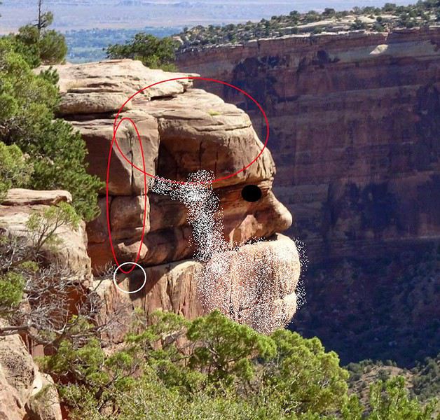

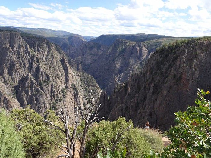
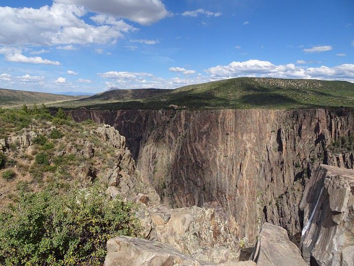
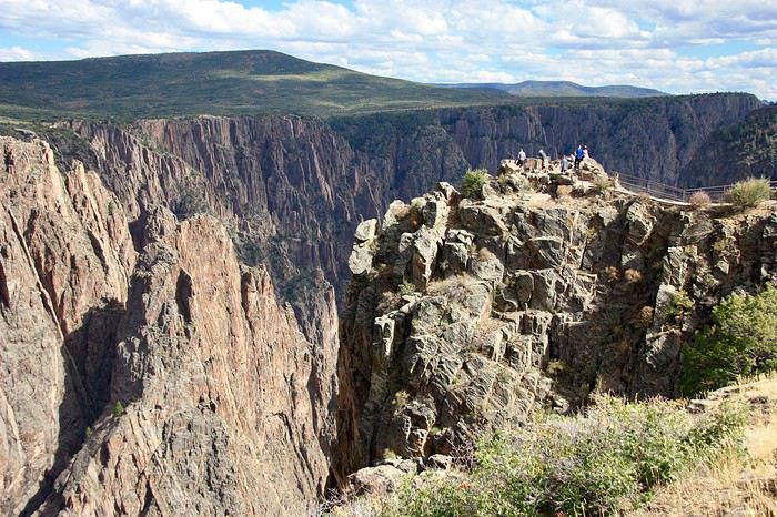
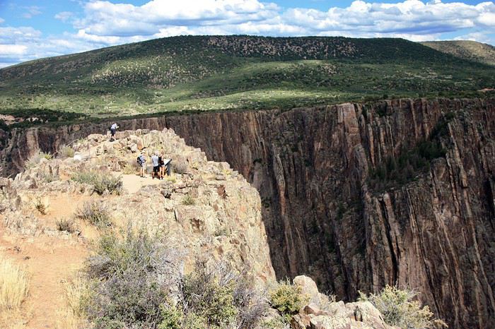 The views of the canyon keep coming, and the canyon narrows.
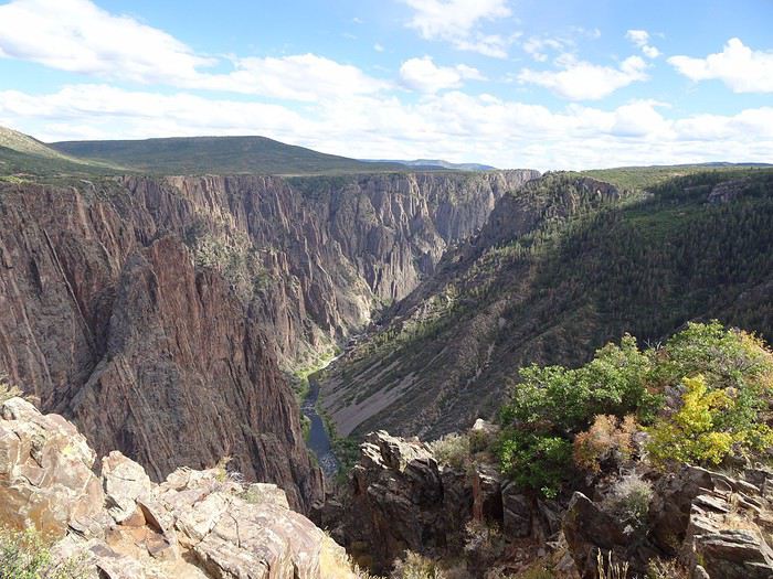
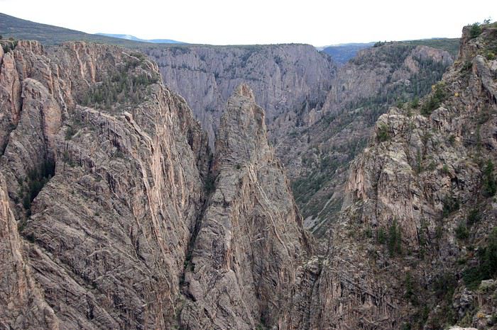
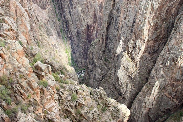
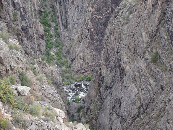
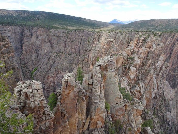
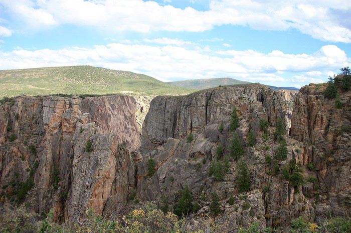
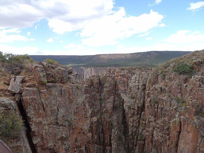
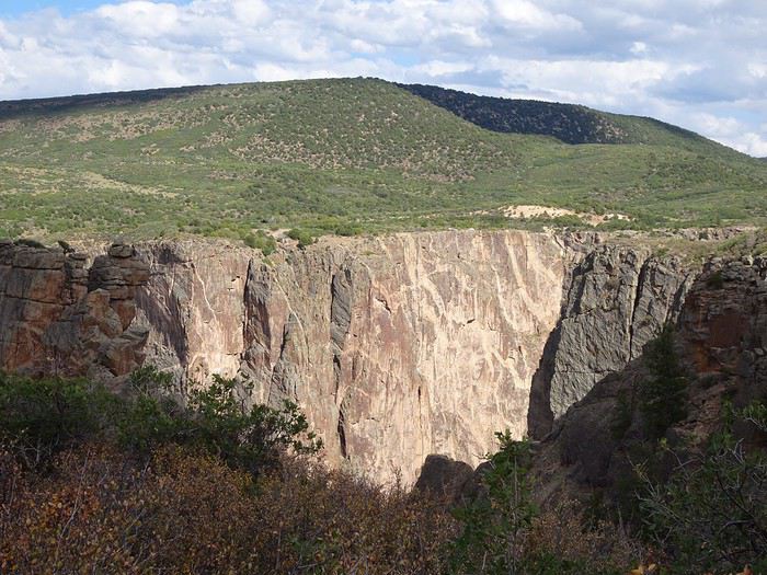 Still these viewpoints in the middle of the rocks.
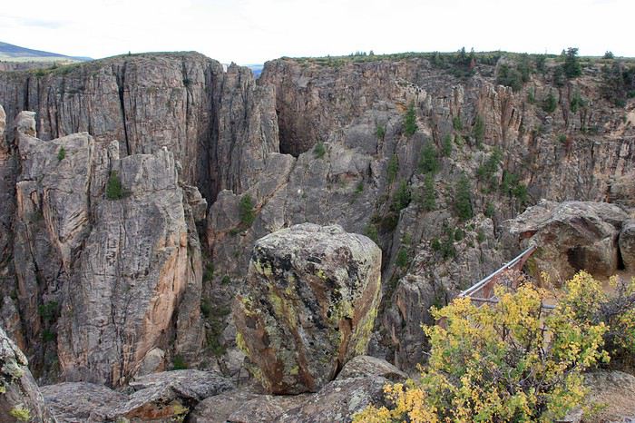 The striations start to appear, and the cliffs soften.
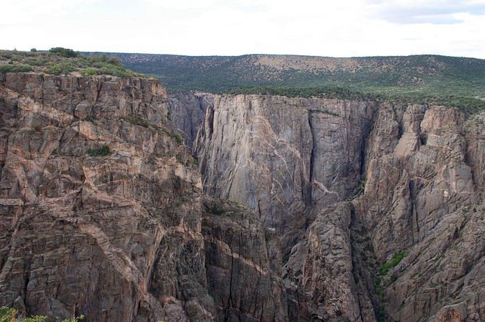 We’re almost at the end, and Painted Wall is here!!!
We’re at 8,200 feet, admiring this incredible viewpoint with the river far below.
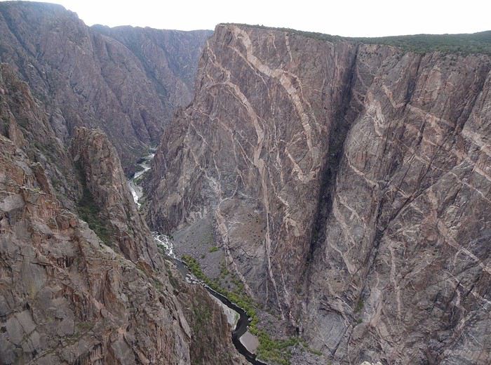 There it is, stunning, with its 2,260-foot cliffs of gneiss and schist veined with pegmatite.
The rock’s cracks were filled with magma mixed with water and minerals (quartz, mica, garnet), giving us those white and pinkish streaks against the dark gray.
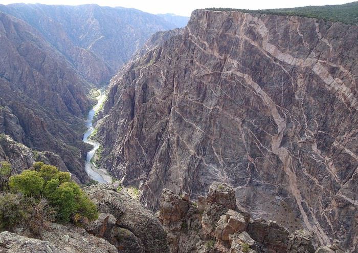 Our imaginations run wild!! A snake, a cheetah, a dragon, a tree!! Everyone’s having fun naming the lighter shapes.
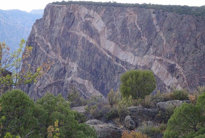 We keep going to the end of the road!!
The canyon widens, and the rims pull apart!!! The verticality disappears, and the cliffs gently slope down.
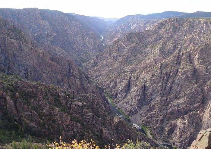
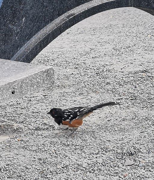
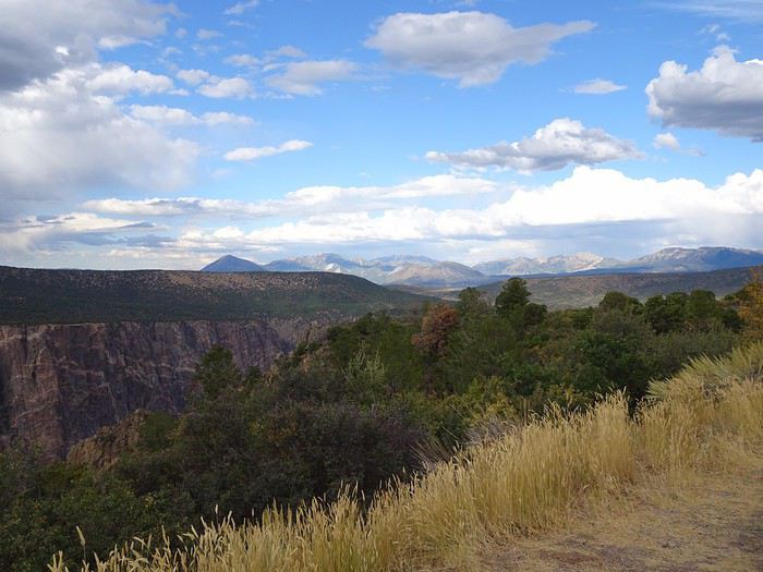 It’s 5:20 PM!! The sky is completely gray.
After the others’ flat-out refusal, I reluctantly cancel (a bit begrudgingly) the Warner Nature Trail that was on the agenda.
We head back the same way.
I don’t even suggest the 7-mile East Portal Road that would’ve taken us right down to the Gunnison River—they’re really ready to relax at the hotel!!!
Fair enough, we’ve been keeping a pretty steady pace for 18 days, and the fatigue is starting to show.
Alright, let’s go!! Hit the road, chickadee!!! Off to Montrose.


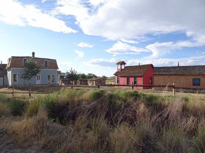
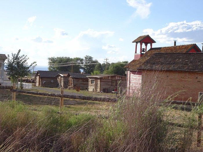 When we arrive at the motel, we’re surprised to find a crowd of super-friendly bikers chatting over beers or polishing their motorcycles in the parking lot—no doubt after a long ride! What a job after all those kilometers!
A good meal at Jimmer’s steak BBQ with an excellent little margarita (140 dollars).
Lying in bed, I replay our day in my head, as I do every night.
Only 120 km separate Colorado National Monument from Black Canyon, and what a breathtaking difference!
After the warmth of the red rocks we loved at the first, the second seemed so dark!
Maybe it’s the fatigue—all those little hikes to the viewpoints! Or our friends’ nerves on the overlooks! Either way, this was the spot that got the fewest “wow”s from us.
Haha! The little devil in me has cooked up a surprise for tomorrow’s driver!
The guys know that in this road trip, I’ve planned for us to take Skyline Drive—a road perched on a ridge 300 meters above the ground—but they haven’t tried to find out where or when! Fate will decide who drives.
And the winner is: our friend Maumau!
More laughs ahead!!!


