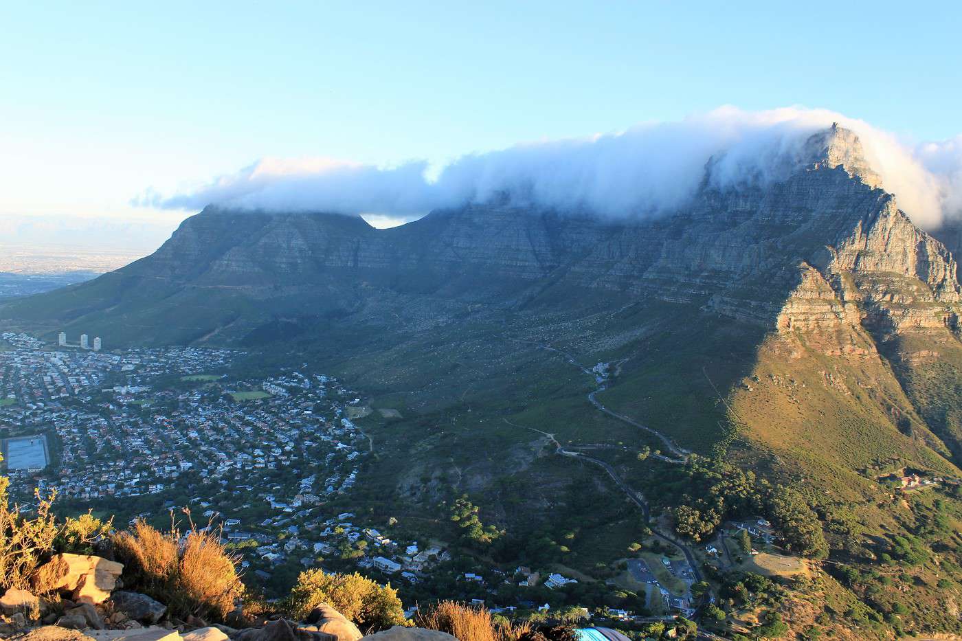
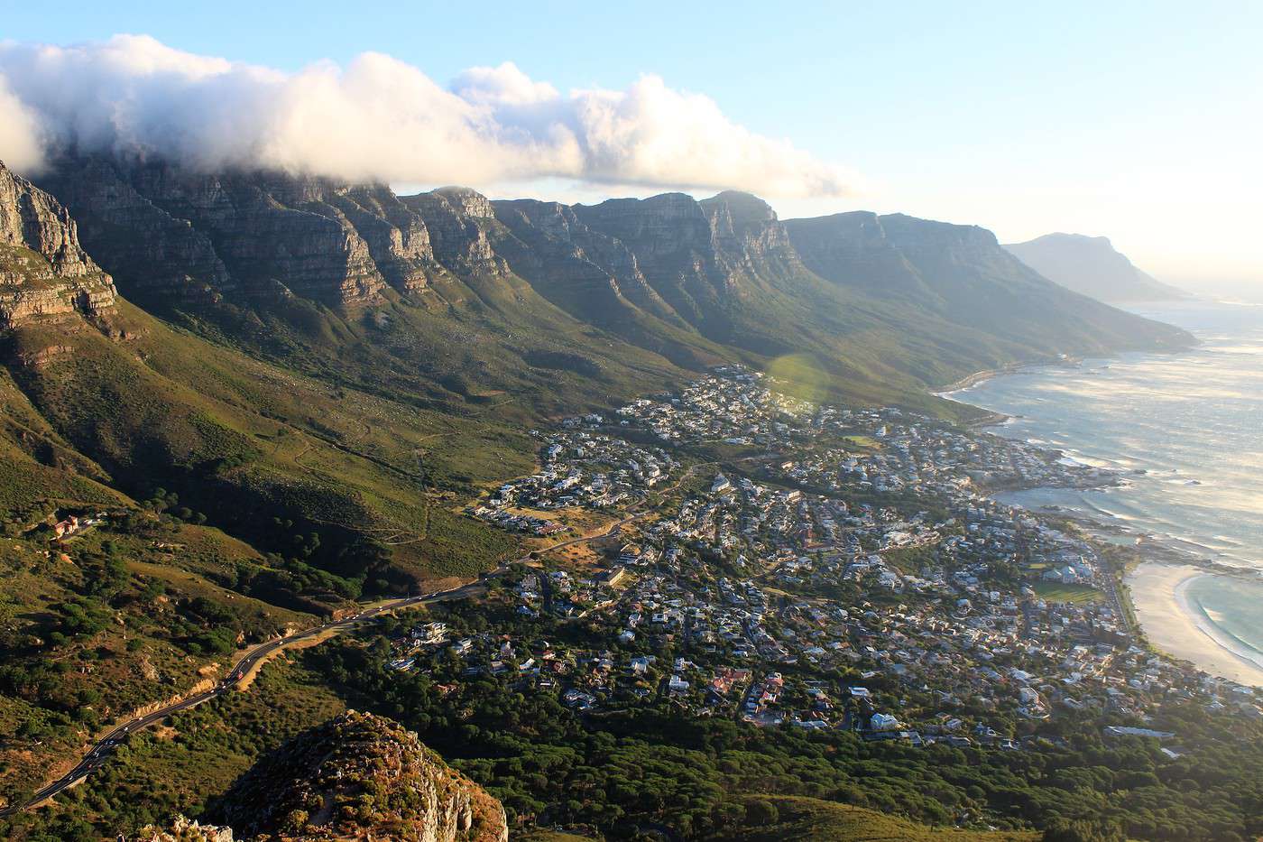
Sunday, December 23: Table Mountain
After a good night’s sleep, we grab a quick breakfast and head out at 8:30 AM.
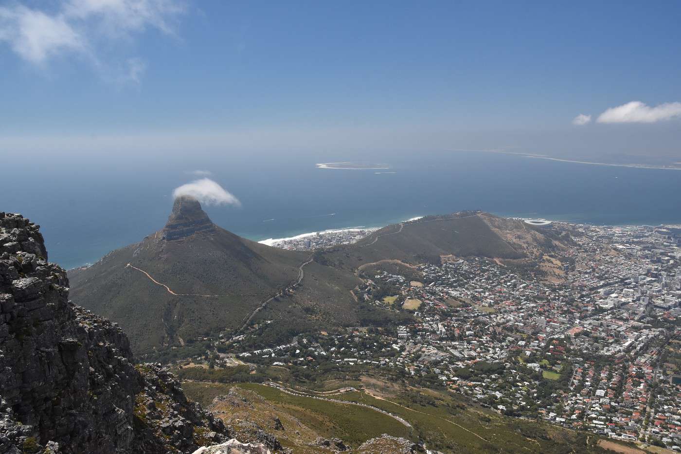
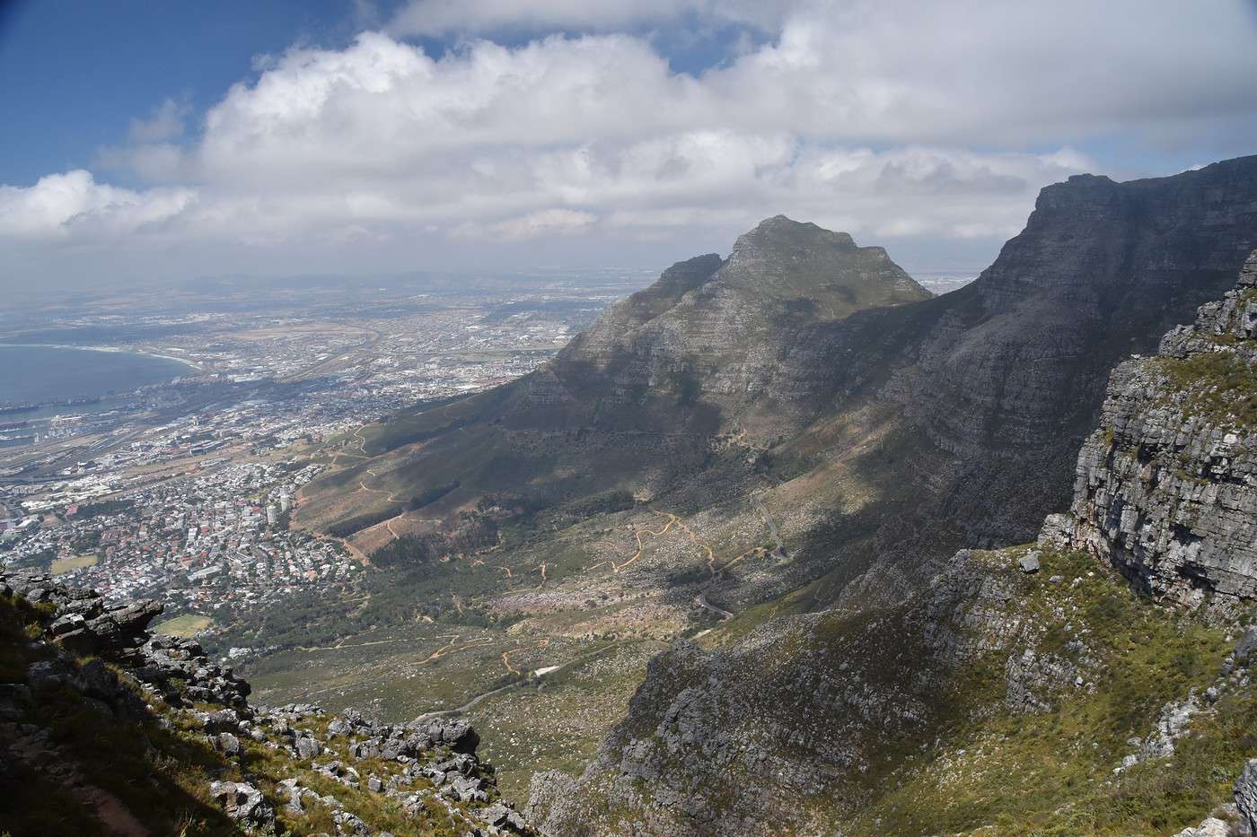
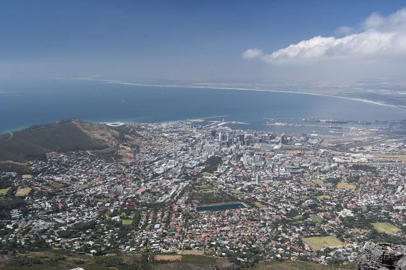
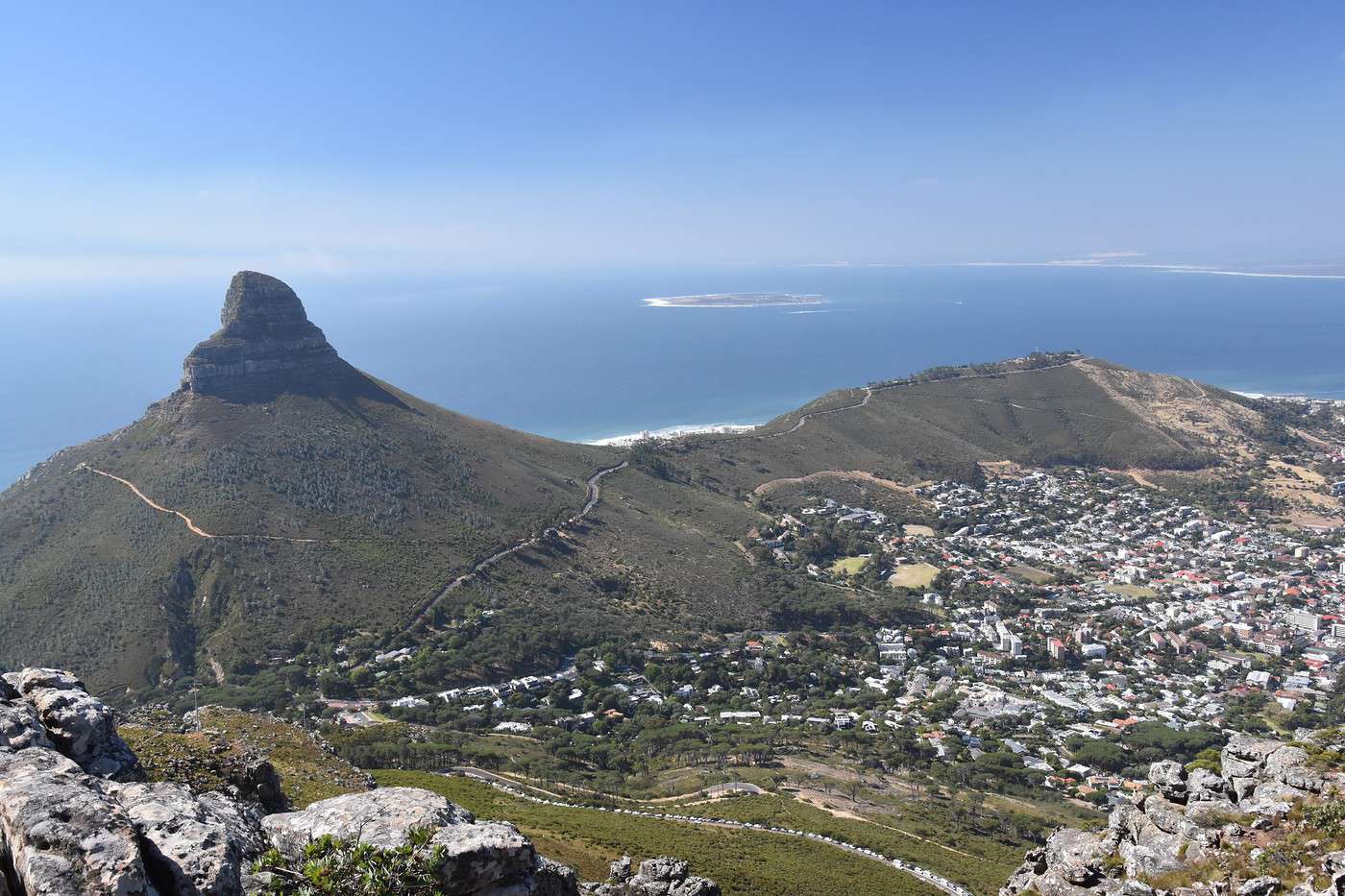
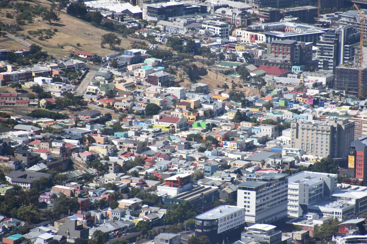
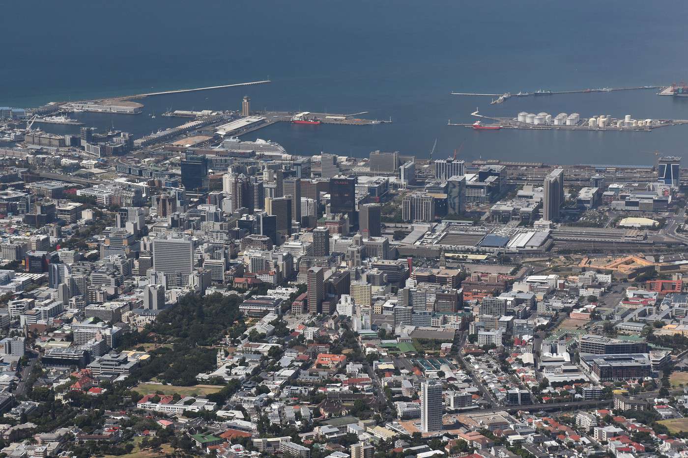
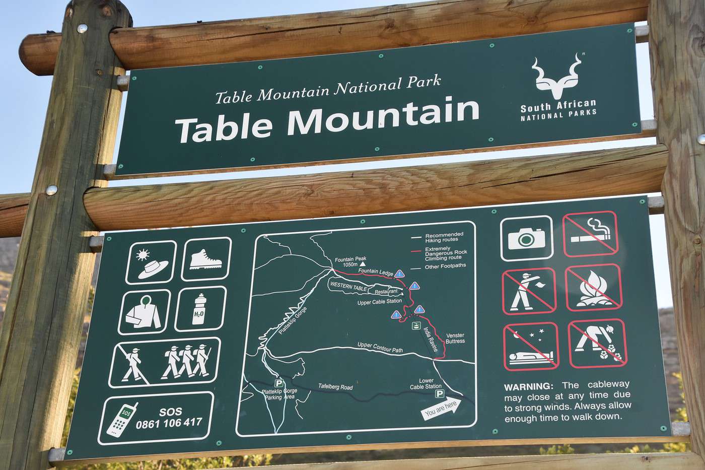
For our first day, we wanted to see Cape Town from above, so we’re heading to Table Mountain.
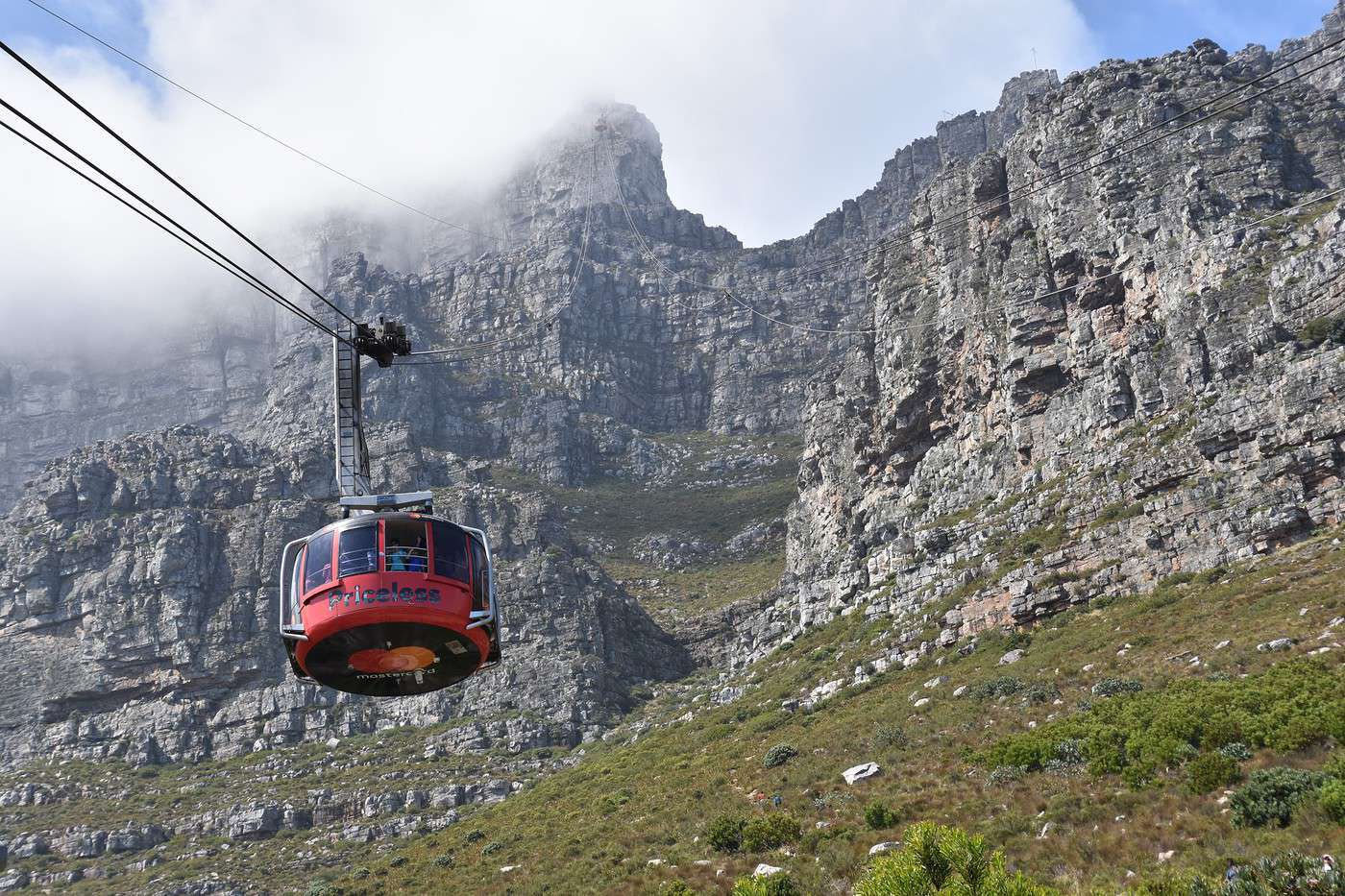
The first departure is at 8 AM, but it’s already past 9 AM by the time we park on Tafelberg Road, just before the cableway station. The line of cars along the road is impressive, but we still manage to find a spot not too far from the Cableway.
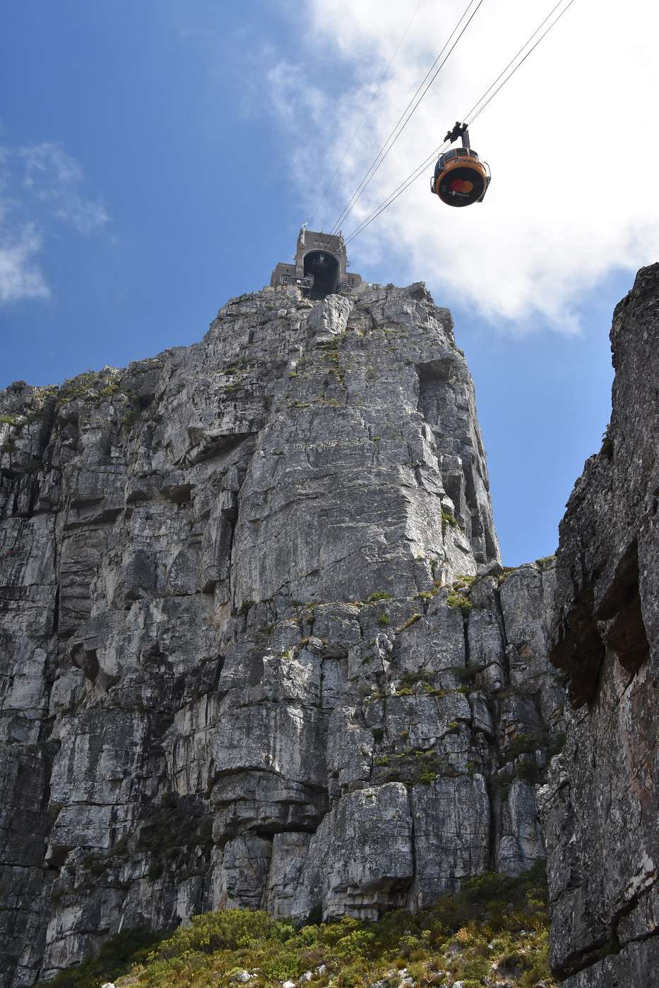
Just before leaving, we booked our tickets online to go up. We’re feeling energetic—the descent will be on foot. A one-way ticket costs R190, and a round-trip is R330. The tickets are valid for a week from the purchase date.
There’s no one at the ticket counters, but the line to access the cable car is already quite long. We should’ve left earlier—it’s already 9:30 AM, and the crowd is here too.
Lucky for us, the weather’s nice despite a few clouds, and there’s not much wind. Otherwise, the cable car doesn’t operate when it’s too windy, and you’d better be in great shape to hike up. It’s doable, but it takes a bit more time.

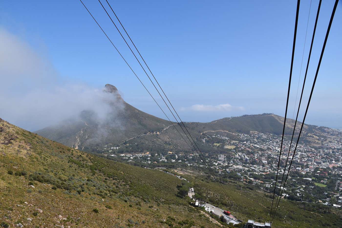
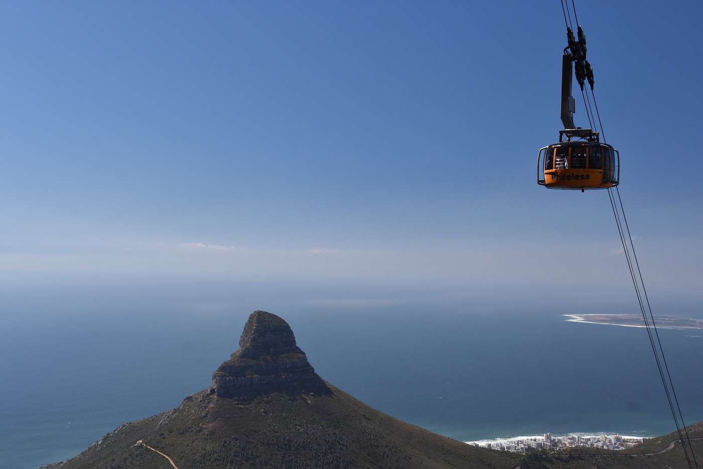
It’s 10:10 AM when we get into the cabin. Four minutes later, we’ve covered the 700-meter elevation gain.

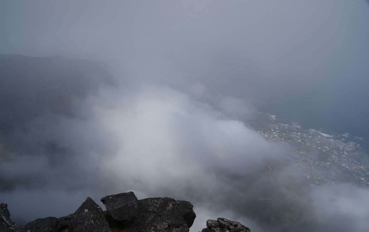
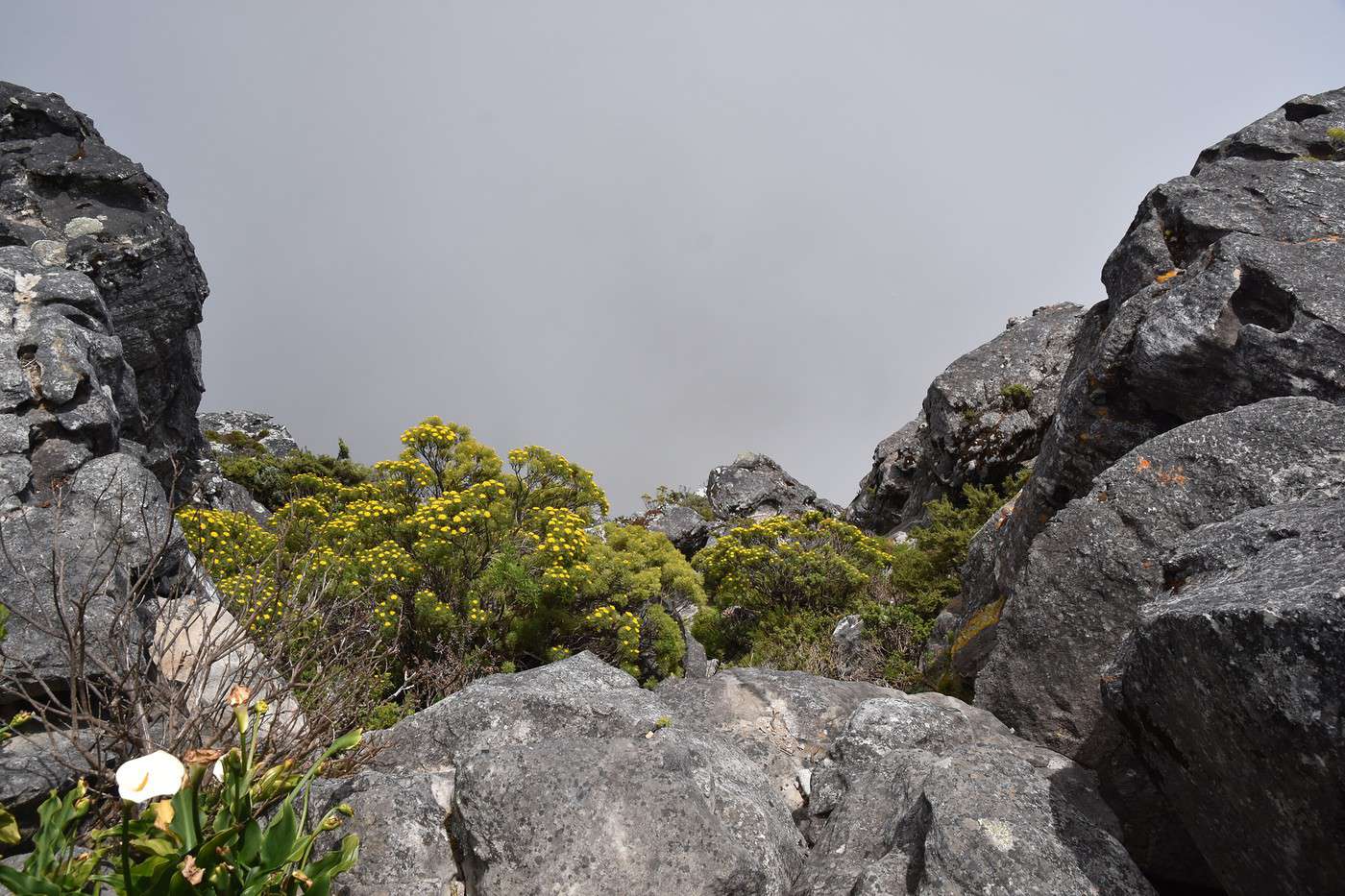
But when we reach the top, there’s a lot of fog. We’re pretty disappointed because the visibility is terrible 🤪.

We start the loop on the plateau, hoping the clouds will have cleared by the time we come back.
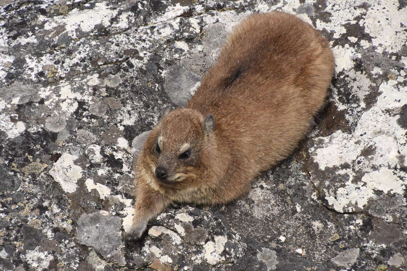
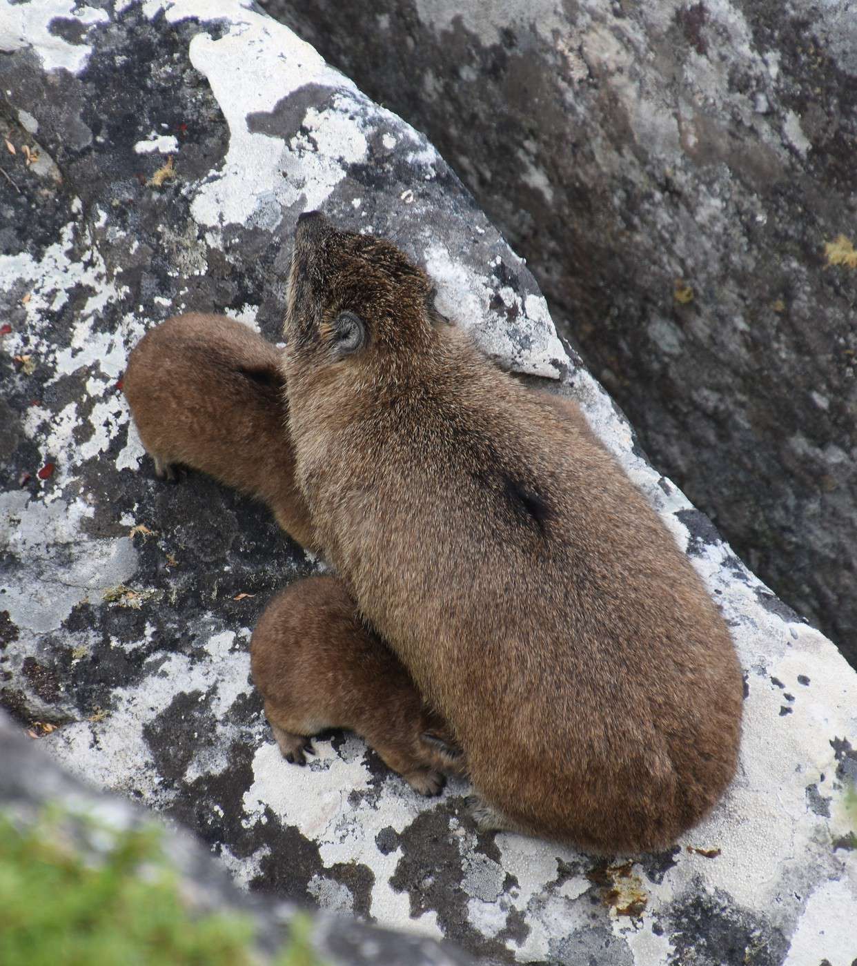
Right at the beginning, we spot rock hyraxes lounging on the rocks 😎.


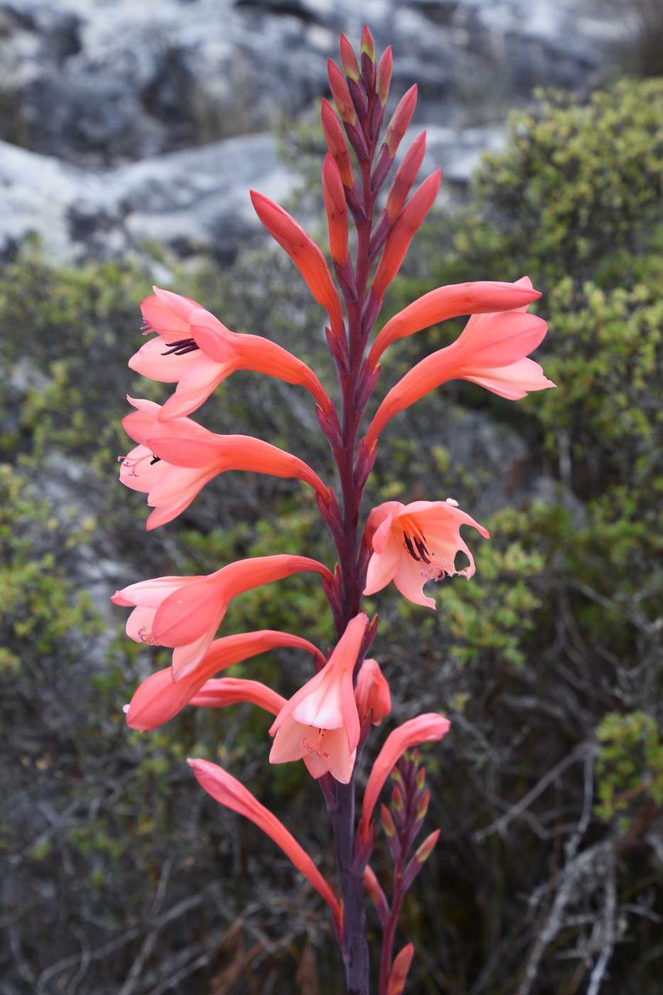
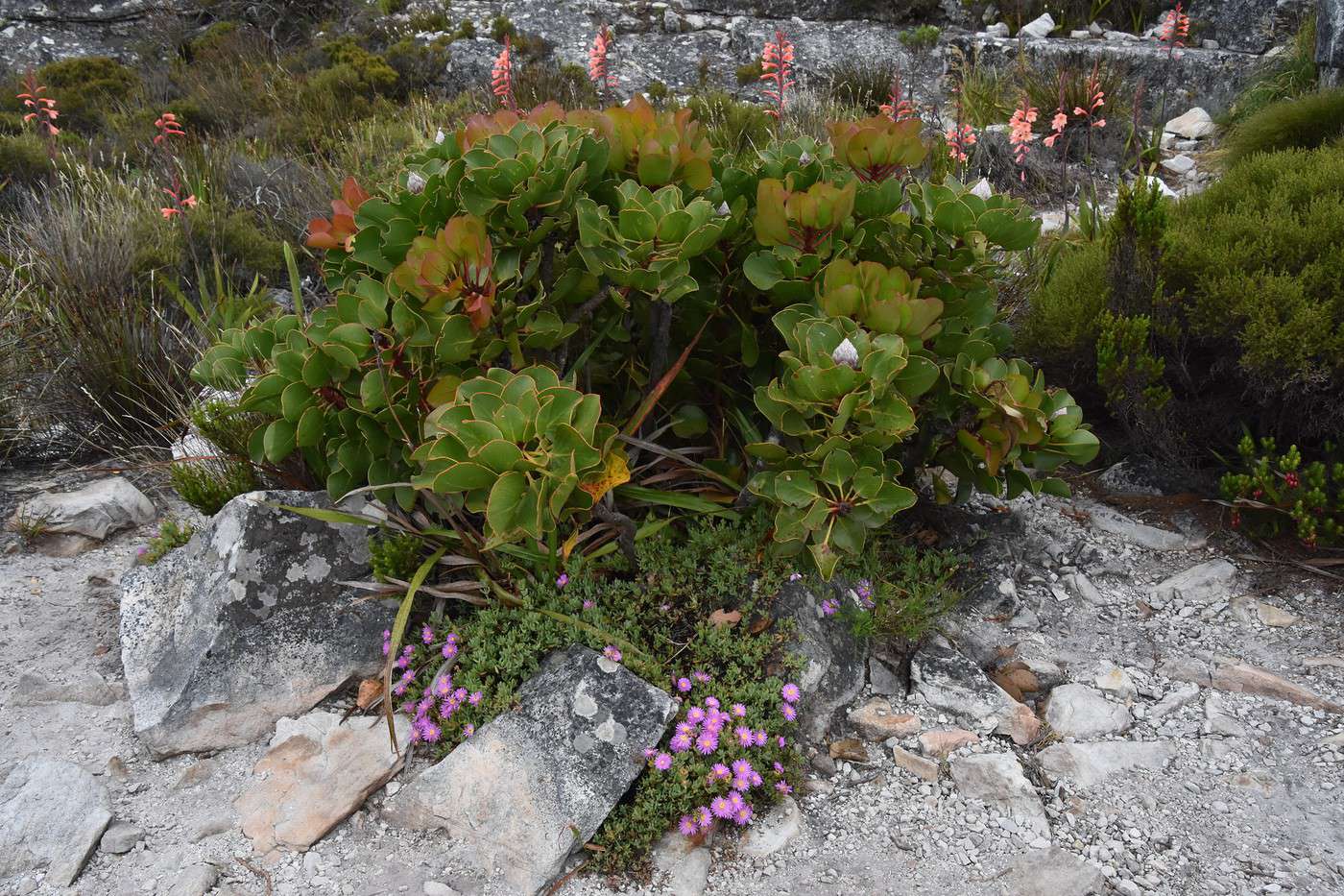
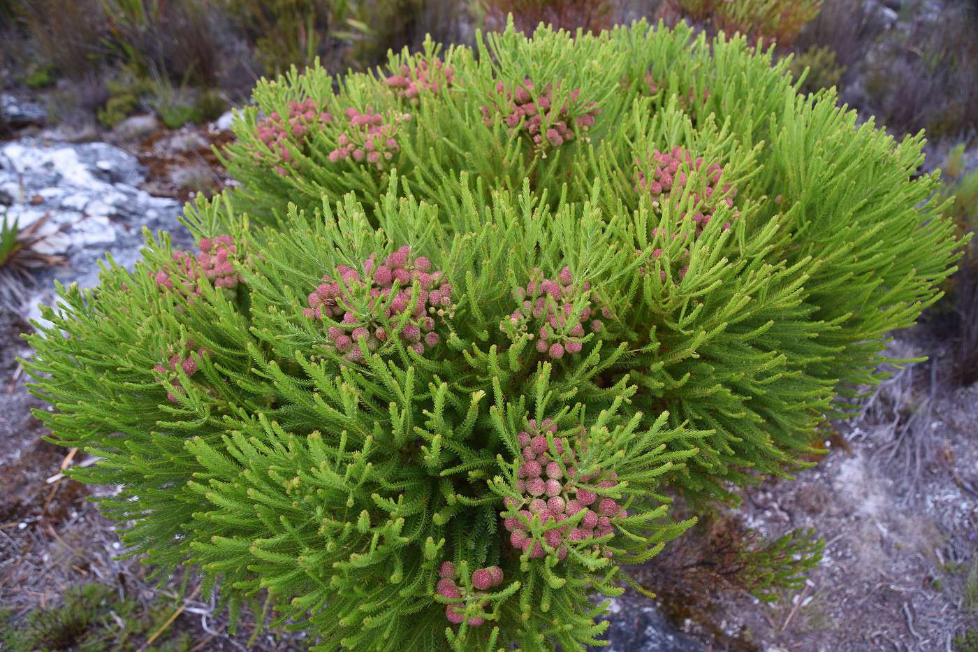
The walk is really pleasant, with a few flowers...


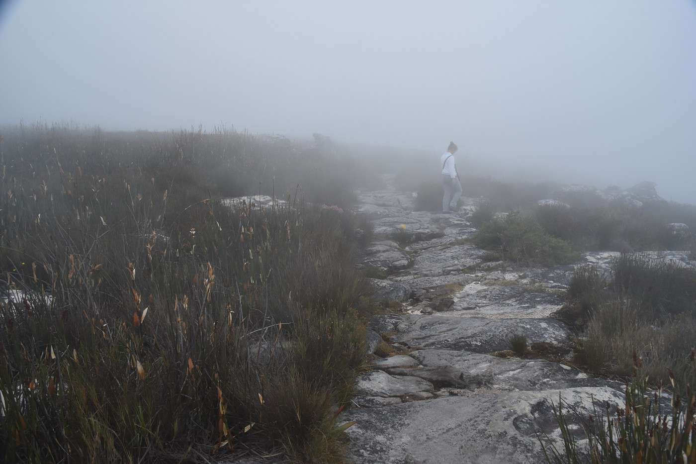
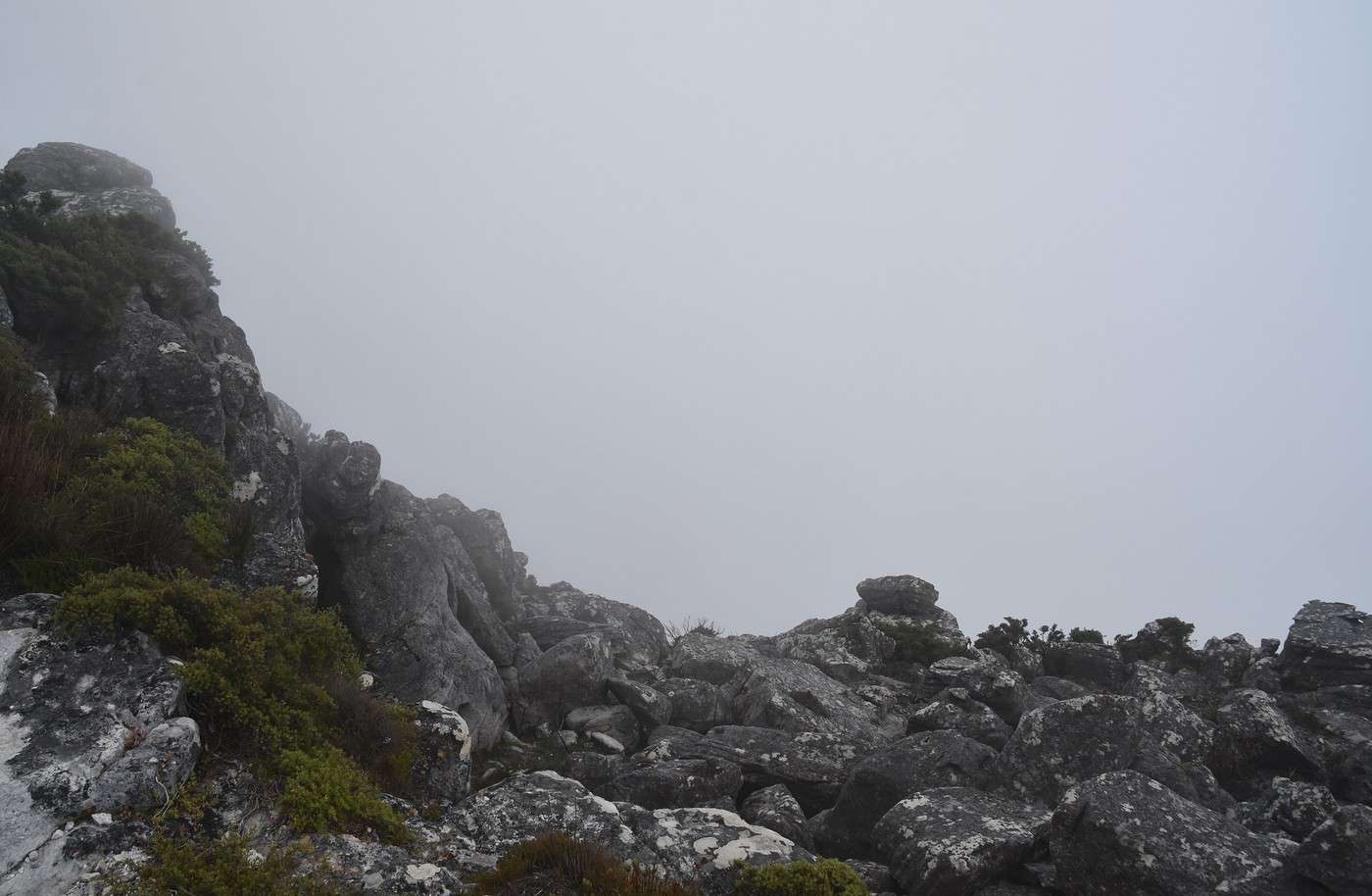
Then the fog gets thicker🙁.
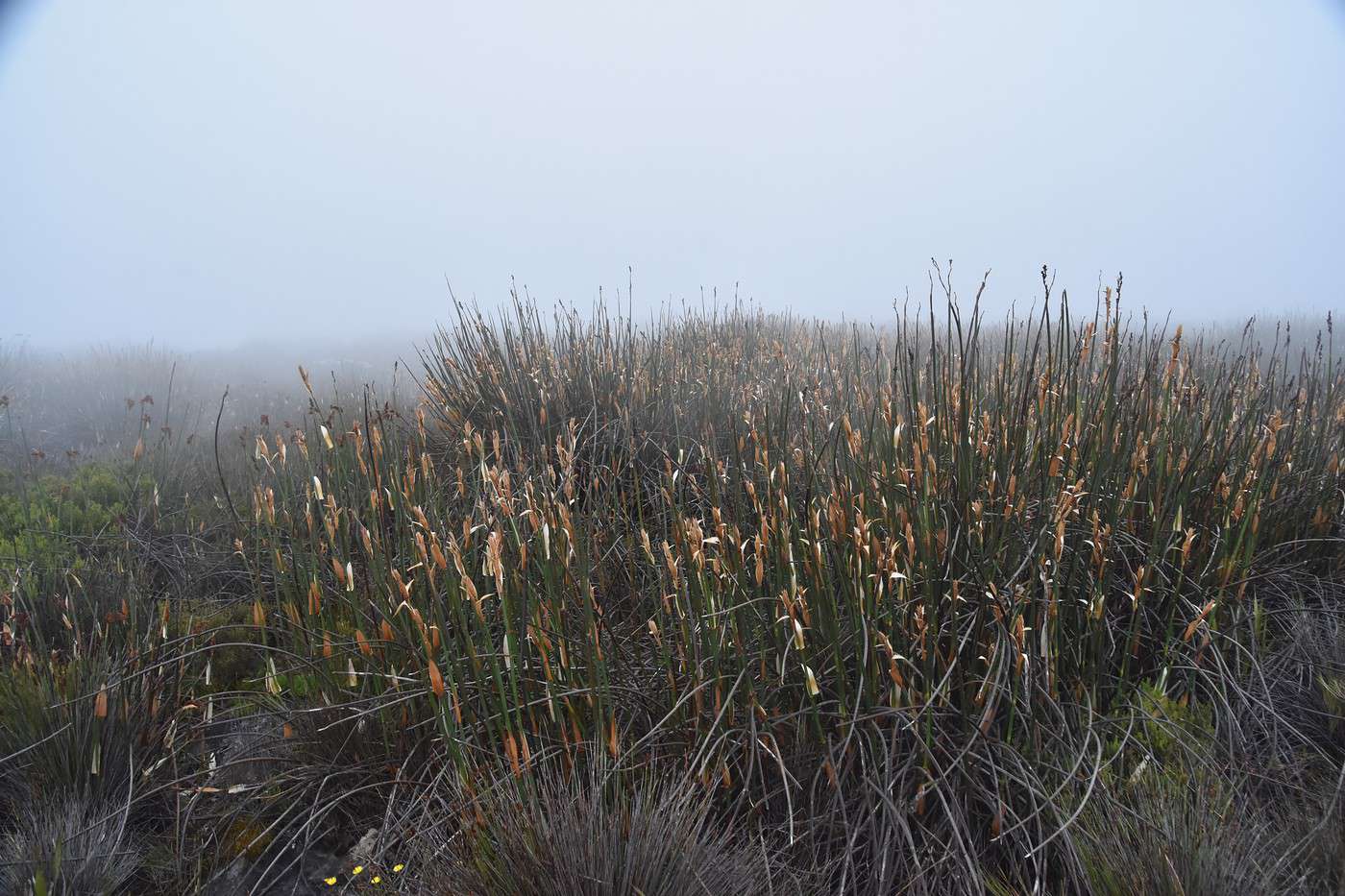
With the mist and the reeds, it feels like we’re in the Scottish moors—but with more heat 😉.


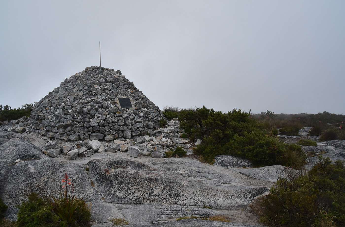
We reach Maclear Beacon, the highest point on the mountain (1,085 meters), pretty quickly since there’s no elevation gain.
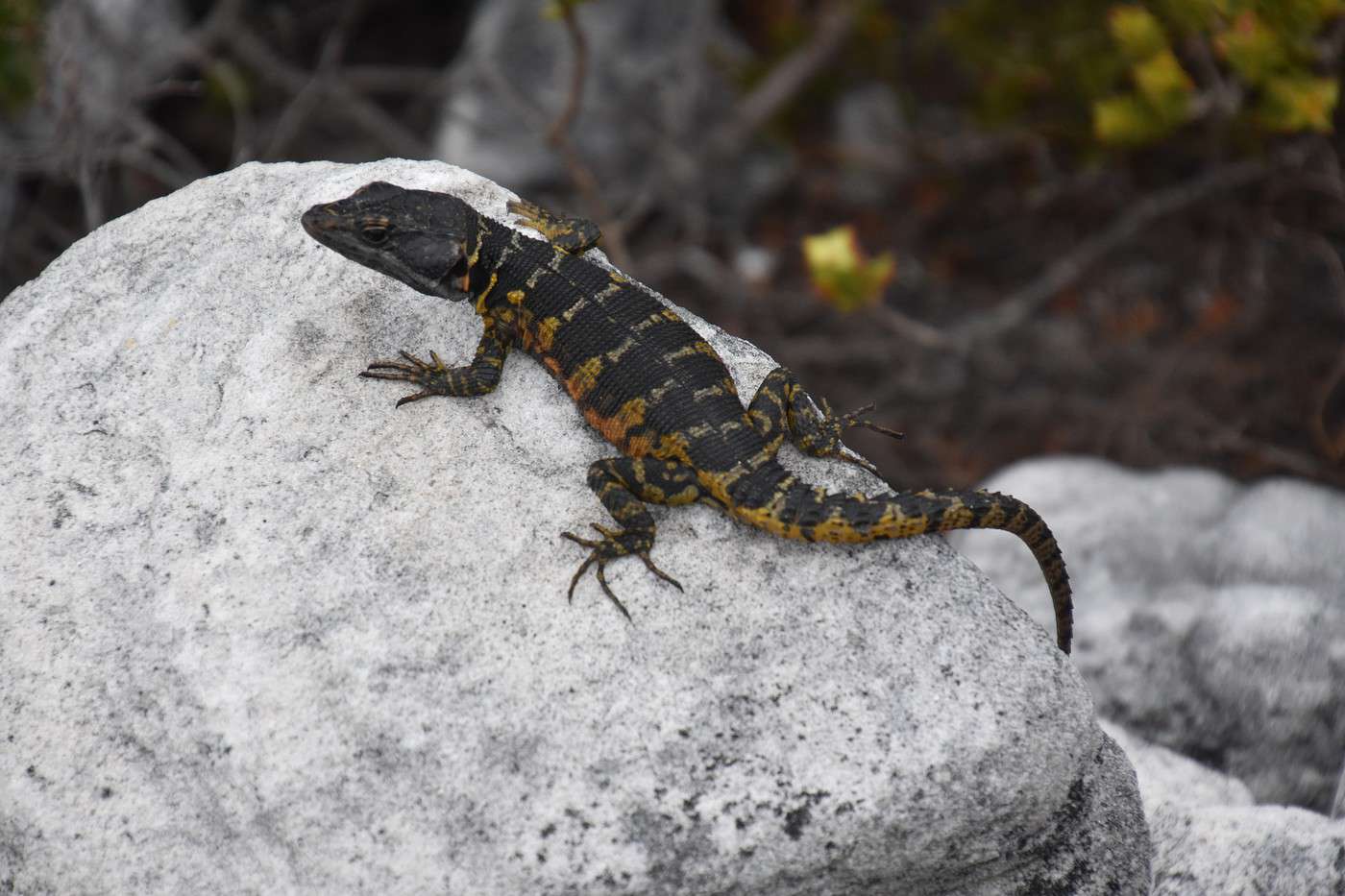
Normally, we should’ve had amazing views, but it’s completely fogged in. Luckily, this little lizard lets us take its picture 🙂.


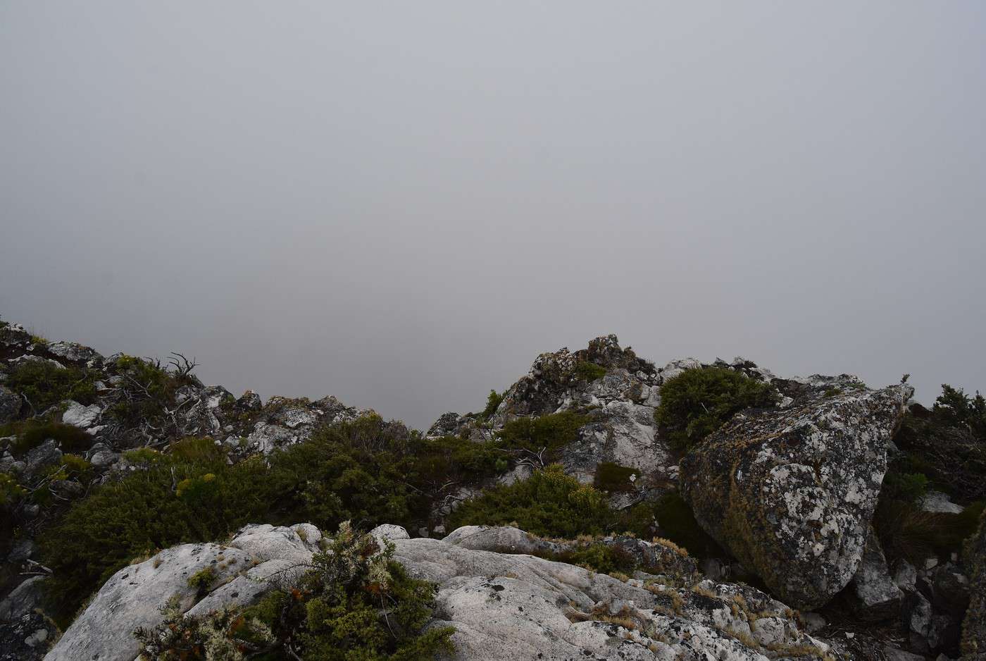
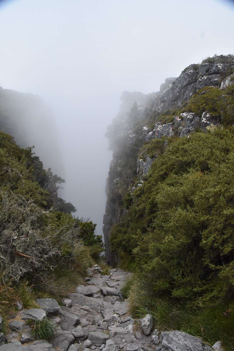
On the way back, we walk along the cliff, but the clouds below still block the view 😕.


We take our time, finishing the loop in about 2 hours. It’s 12:30 PM when we get back to the cable car station.
Honestly, the walk isn’t a must-do when it’s cloudy—these might be the only clouds in the peninsula today. What a shame!
On the bright side, these 7 km helped us stretch our legs after yesterday’s 15+ hours of flying.
We stop for a quick lunch at the cafeteria.
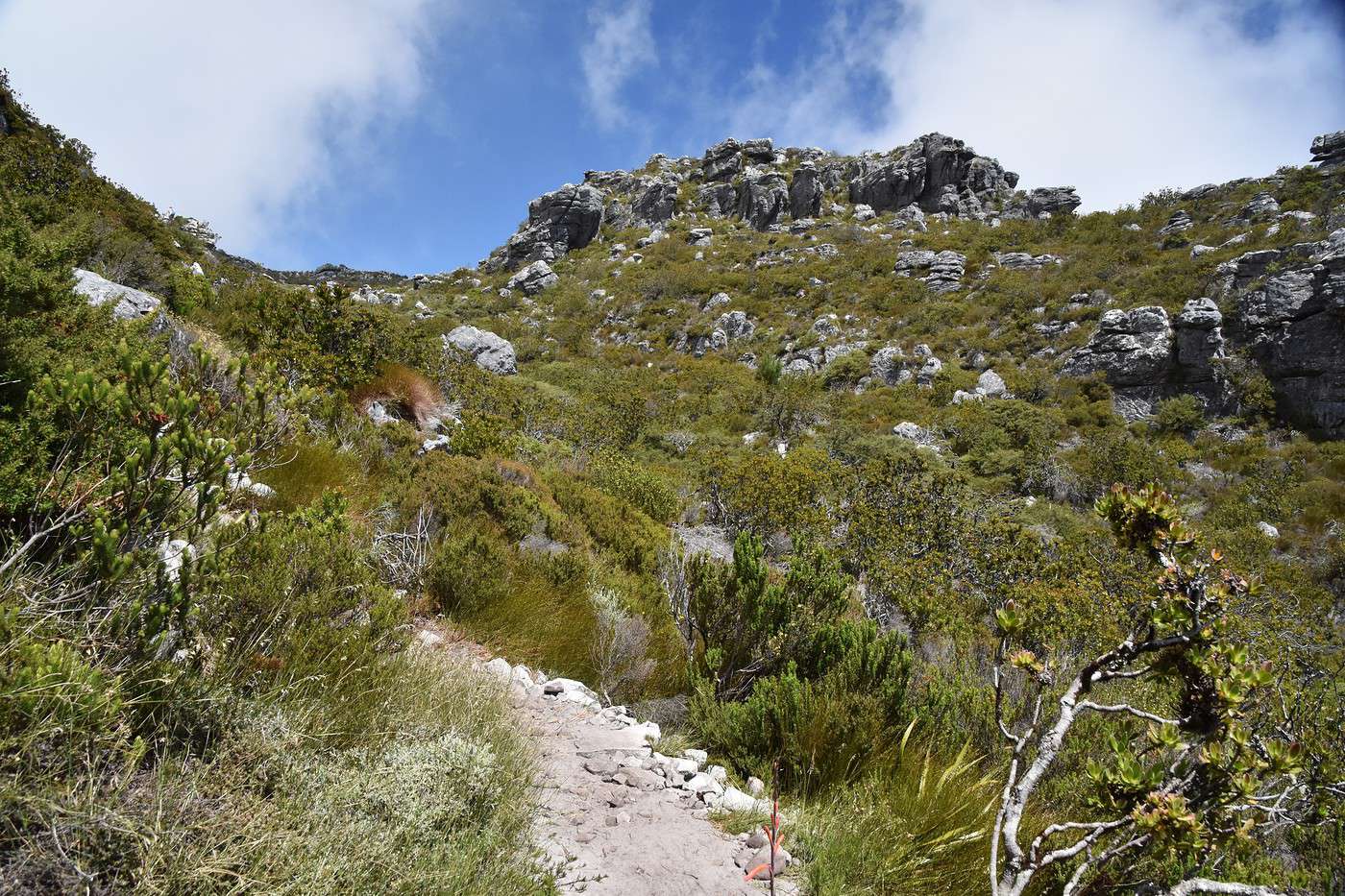
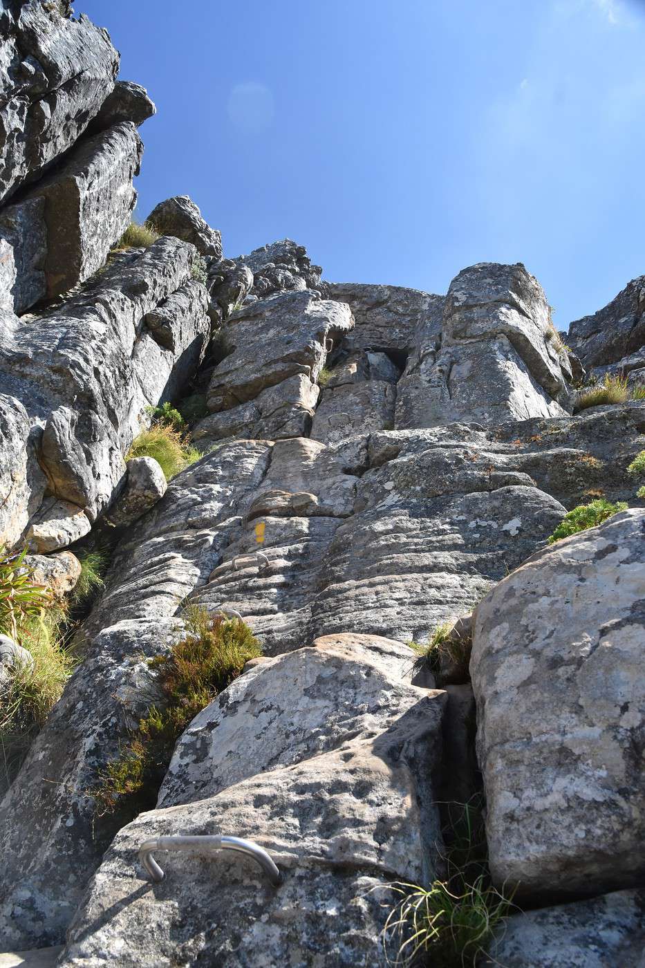
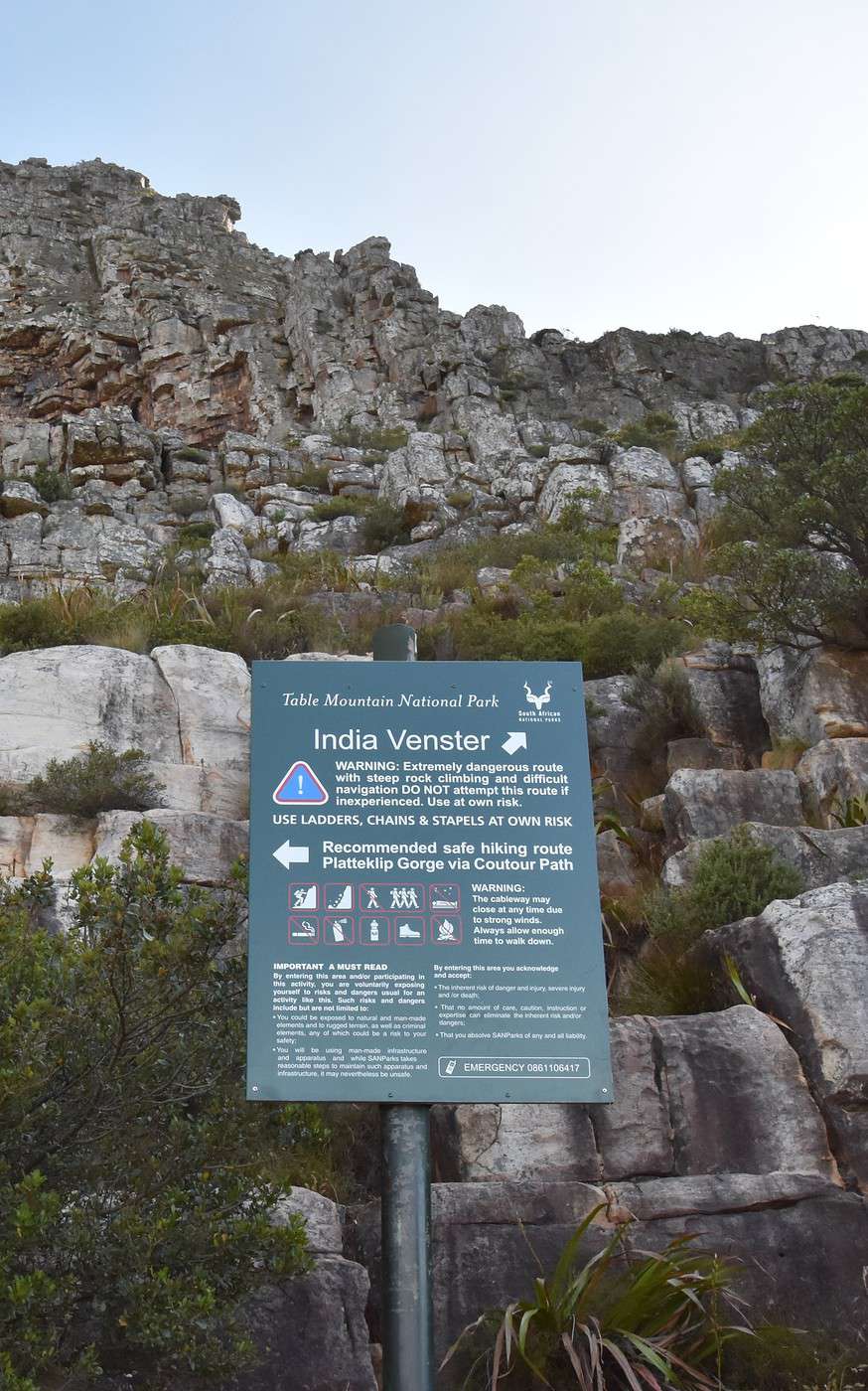
The line to go down is long enough to convince us to hike back down instead.
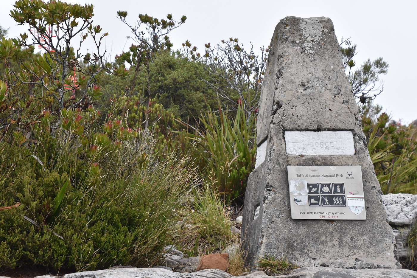
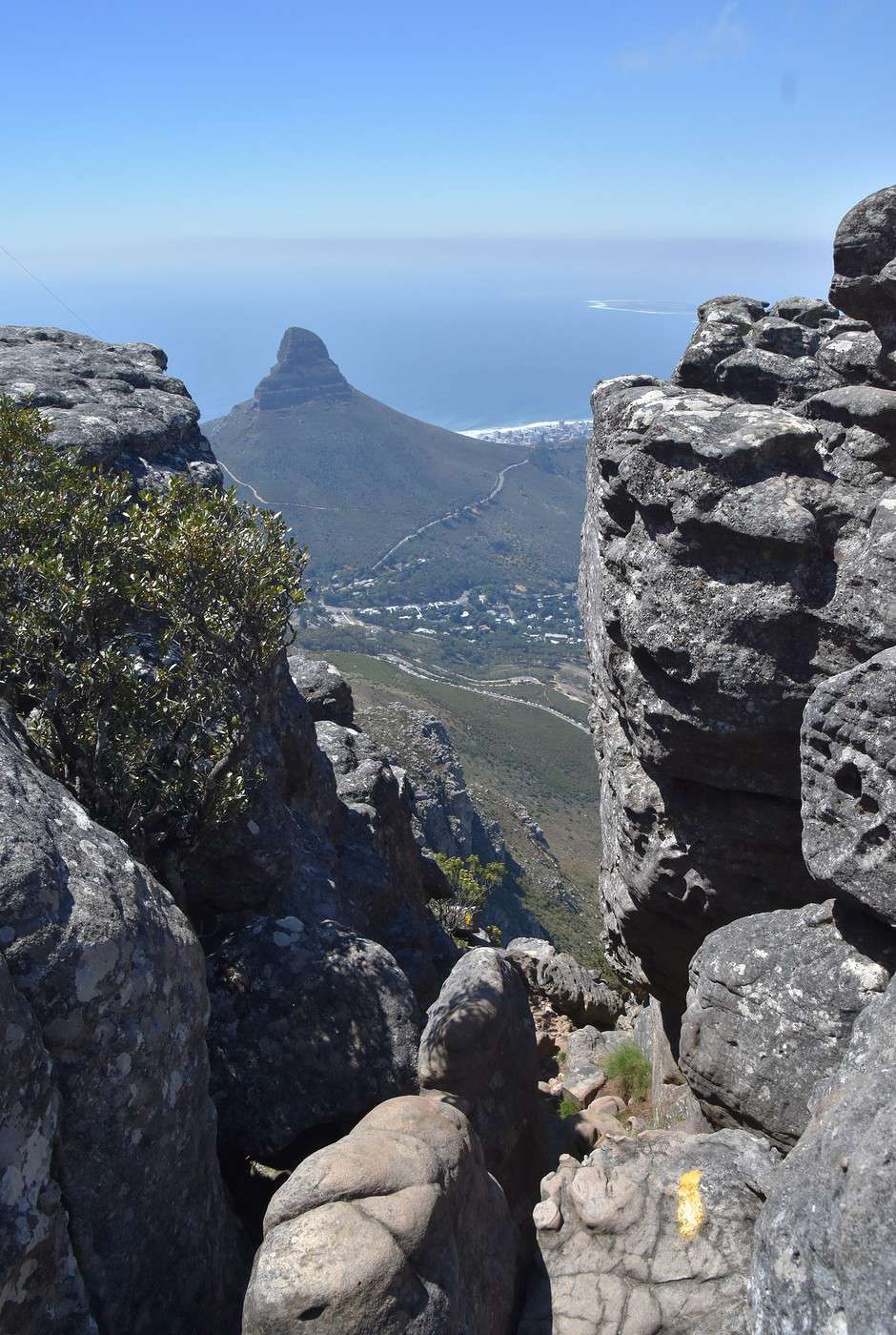
My husband really wants to backtrack to take this path near that marker, but I’m not too keen on walking into the fog 🙁.


But why did I only listen to myself? Why did I check MapsMe, which showed a much faster route?


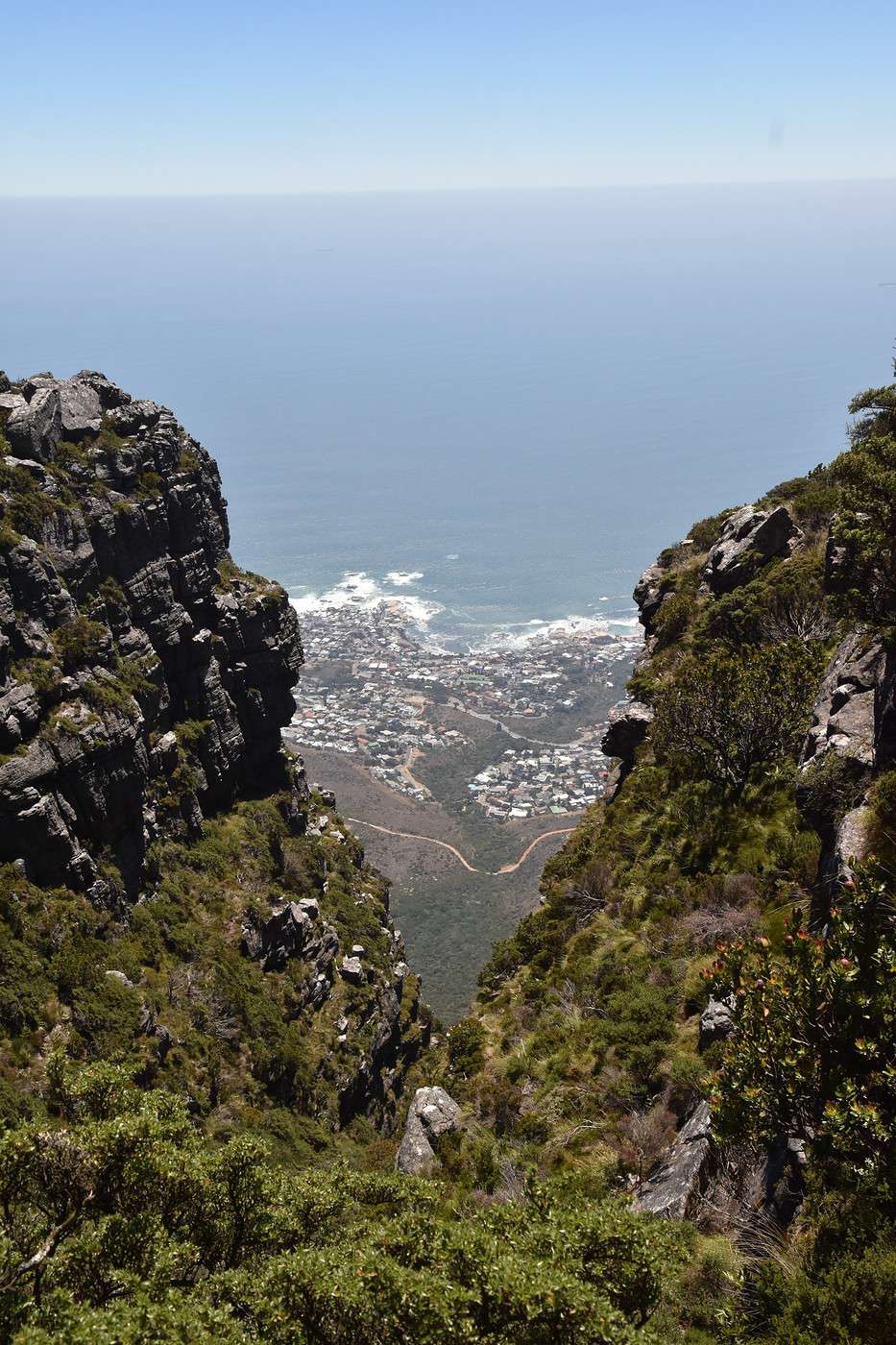
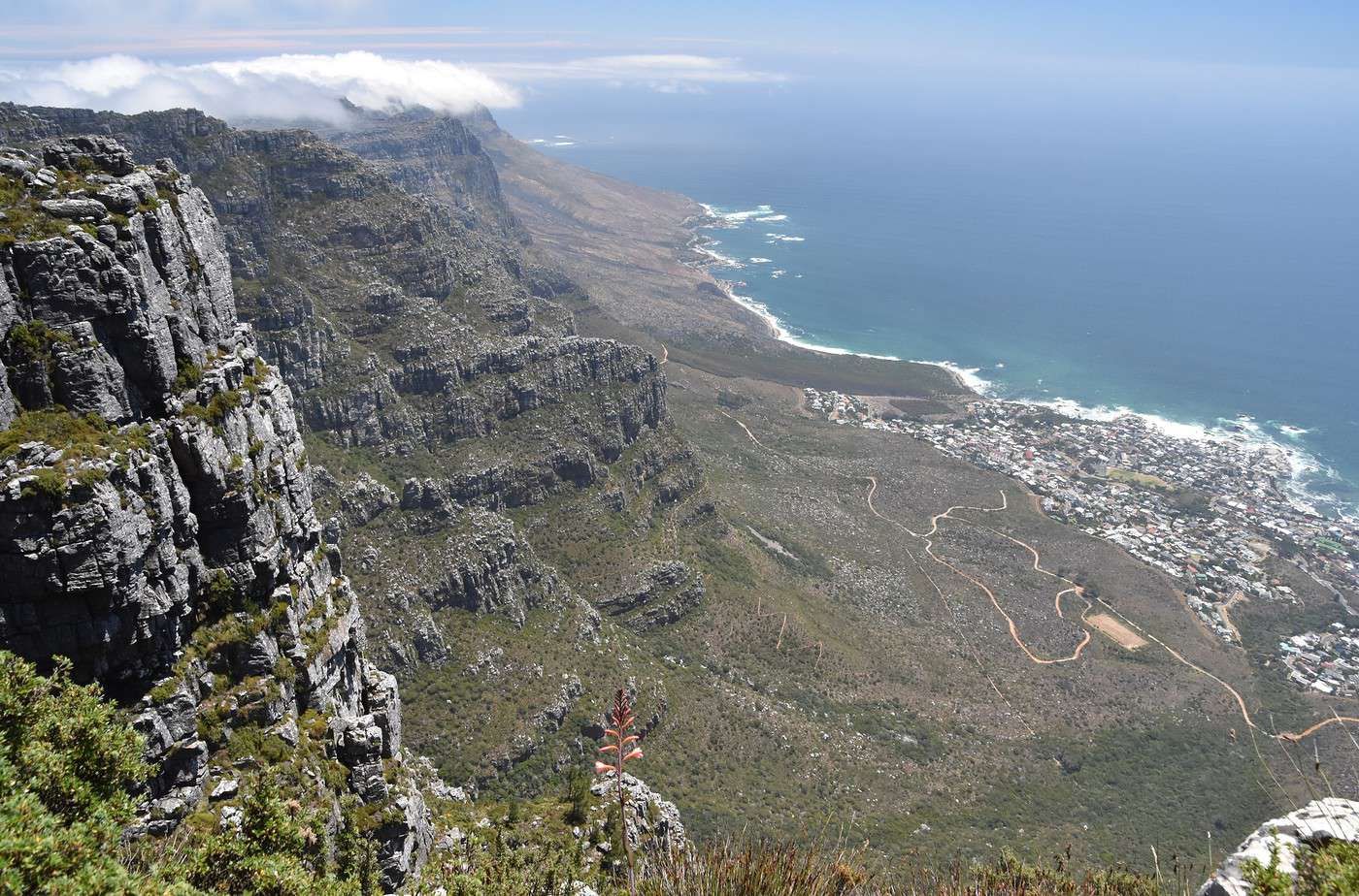
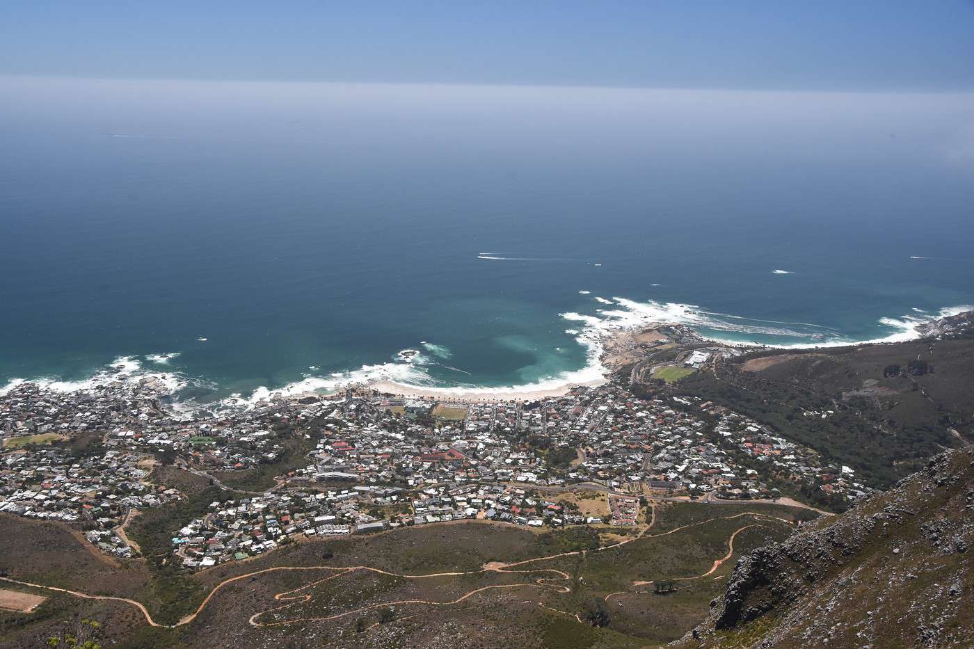
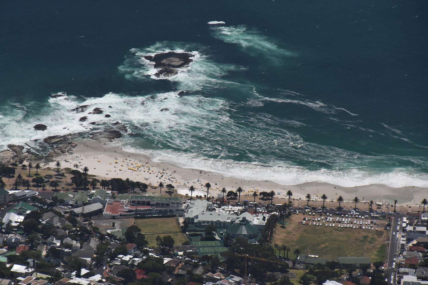


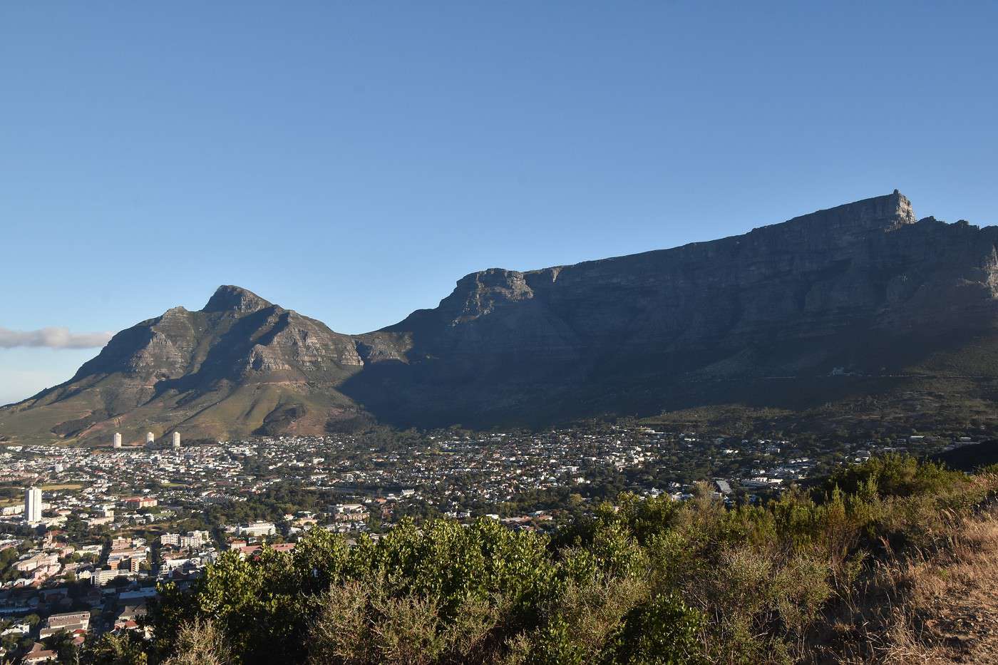
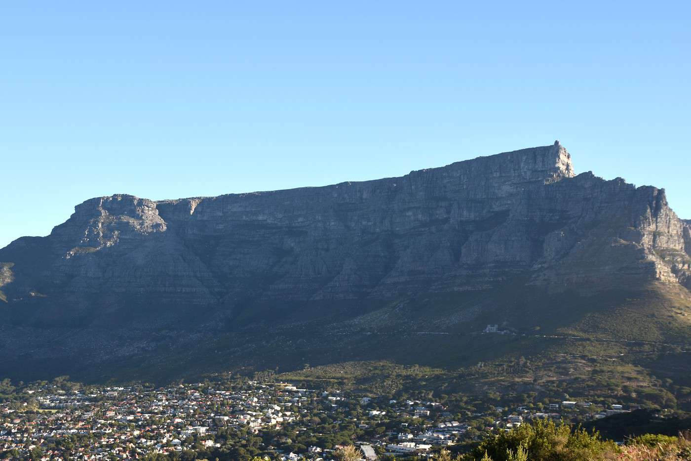
 Heads side, with a view of Table Mountain
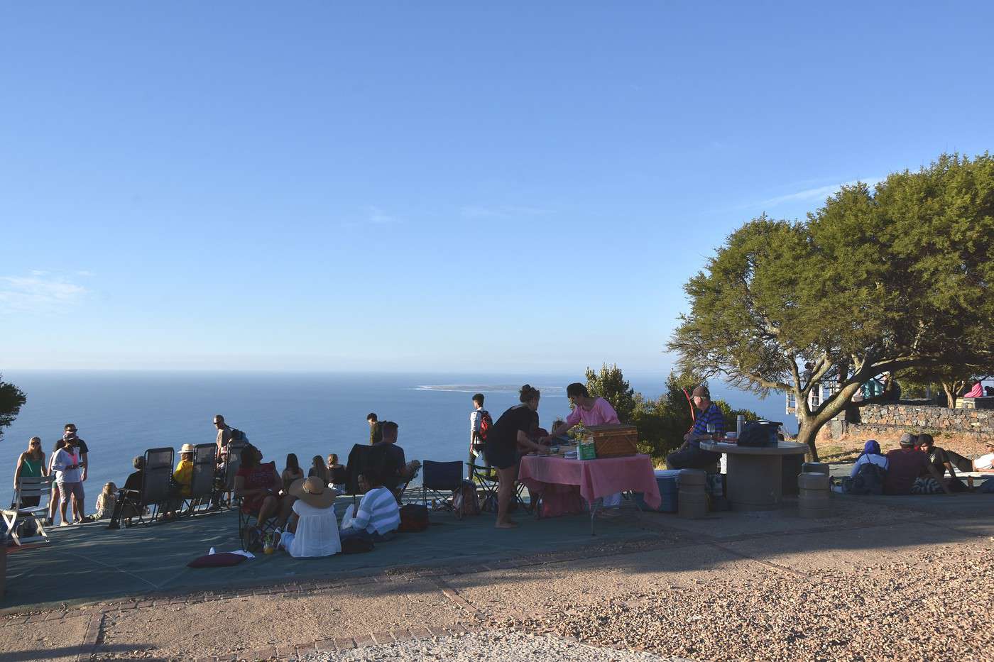
 And tails side, view of Camp Bay.