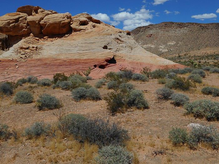
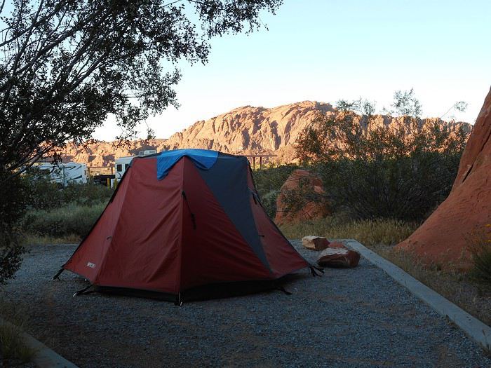
Day 11: Thursday, May 23 (Las Vegas - Valley of Fire)
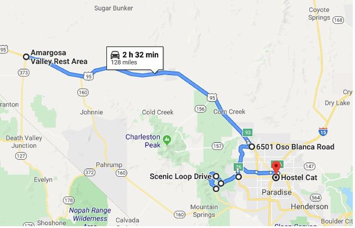
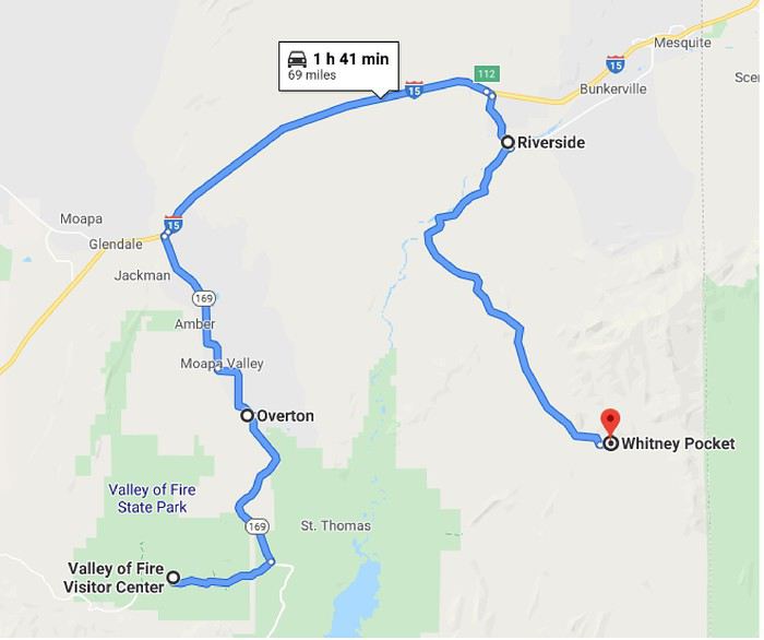
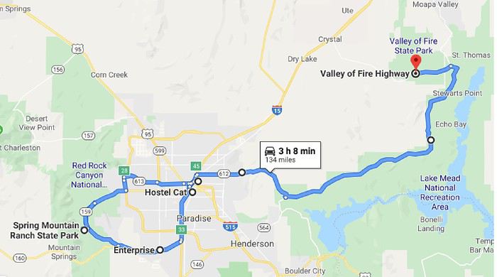
Route
But how did Las Vegas begin? I’m about to find out at the "Old Las Vegas Mormon Fort" near downtown.
In 1855, Mormon missionaries settled near a creek and built a structure: a rectangular fort, part of whose walls have been reconstructed (it’s the first permanent non-native settlement). They left in 1857.
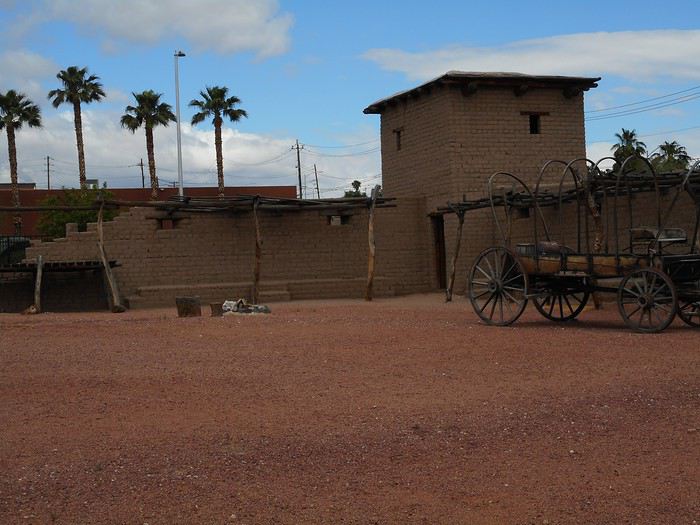
Starting in 1865, the site was repurposed to build a ranch. A first attempt failed, but a second succeeded—this one by a man named Stewart. His widow, "Helen Stewart" (photo below), sold part of the land to a railroad company in 1902: Las Vegas was born!
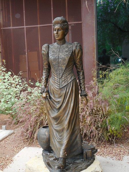
The "Visitor Center" showcases, with photos, the development of Las Vegas from its origins.
Next, I head to "Spring Mountain Ranch," located 25 km southwest of Las Vegas.
Then, a traffic-related incident happens. On "Charleston Avenue," I get in the left lane to go under Interstate 15 (I-15) and then access it heading south by turning left.
Due to inattention, I end up in a lane that turns left *before* going under the I-15. No way to get back to the right lane and pass under the highway. The road leads toward a construction zone when I spot another lane on the right with three signs: one with "I-15," a second with "Ov 2," and a third with "Only" (coded messages??). Thinking I’d reach the interstate, I take it—the trap is sprung.
Traffic is channeled, and I’m forced to keep going. The lane passes underneath between the two parts of the highway (southbound and northbound) and merges onto the Interstate from the left.
Meanwhile, I realize—thanks to clearer signs—that "Ov 2" and "Only" mean (in coded language) that this access is reserved for vehicles carrying at least two people, and they’re serious! A $300 fine (I think), with signs like "7 days/week" and/or "24/7." It’s very possible I’m being filmed or photographed since entering this lane, and the worst part is that it might all be true!!
The lane merges onto the I-15 from the left but is separated from the 5 or 6 traffic lanes by rumble strips (it’s not a real access). In about 2 miles, it exits the Interstate at the next off-ramp. They must’ve designed all this to improve traffic flow!!!
So, I have to commit another infraction: cross the rumble strips, slip into the flow of the left lane, then move to a lane further right.
Now, writing in my travel journal, I’m calmer because I haven’t received anything, but in the moment, I was really worried—I never meant to end up in that situation! It was the only traffic issue I had during the whole trip.
At the south exit of Las Vegas, I take Route 160 (toward Pahrump), then Route 159 (toward Blue Diamond) and arrive at "Spring Mountain Ranch," a Nevada state park.
This ranch is near "Red Rock Canyon" in an area with springs, so it’s lush and green. It was a working ranch until the 1940s. Later, it was owned by celebrities: actor "Chester Lauck," who built the main house; actress "Vera Krupp," who expanded it; and billionaire "Howard Hughes." I visit the main house (part guided tour, part self-guided)—it feels more like a country estate for actors than a ranch.
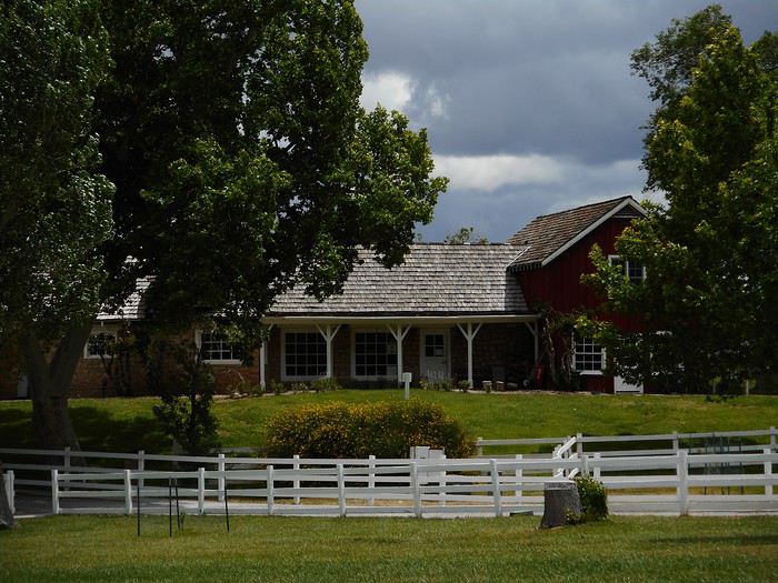
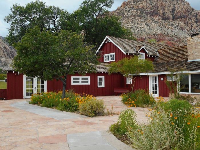
After a picnic lunch (cold and windy), I take a short walk (less than a kilometer) on the "North Ash Grove Loop," where you can see some ash trees near the river.
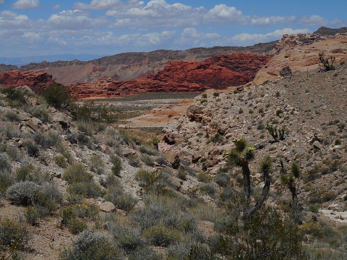
Leaving the ranch, I head back to Las Vegas and take the road to "Valley of Fire State Park" . I arrive at the east entrance and go to the park’s "Visitor Center."
The ranger tells me, "If there’s a spot available, you can set up at the campground." The "if" makes total sense when I reach the camping area—there are no free spots, and I’m convinced the ranger knew that perfectly well. I check out what’s in this part of the park, along the "Scenic Loop Road."
First, there’s "Atlatl Rock," a boulder covered in petroglyphs.
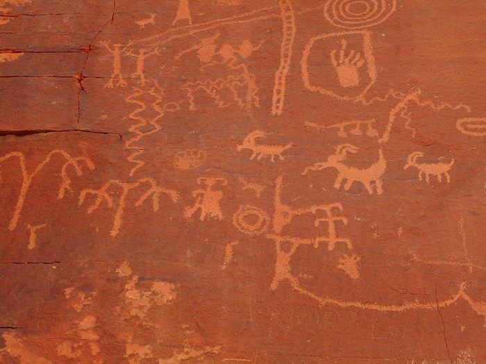
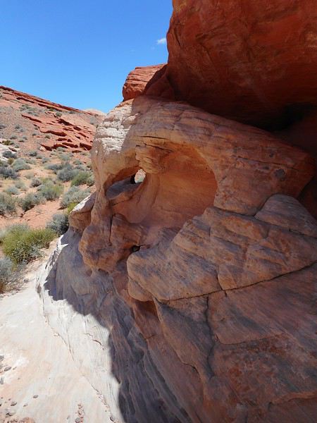
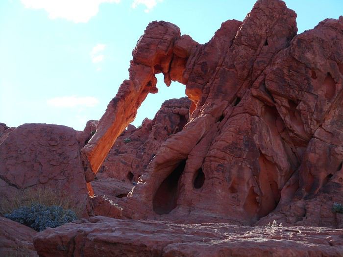
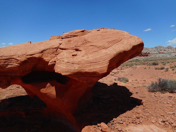
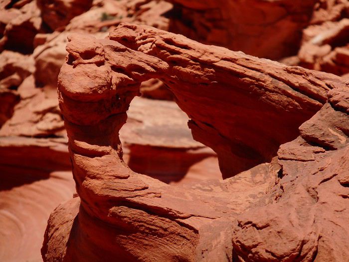
A little further is "Arch Rock."
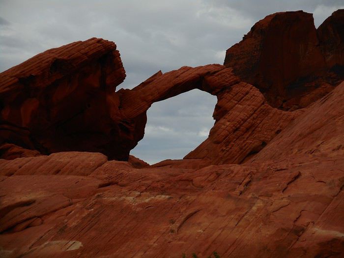
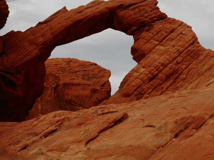
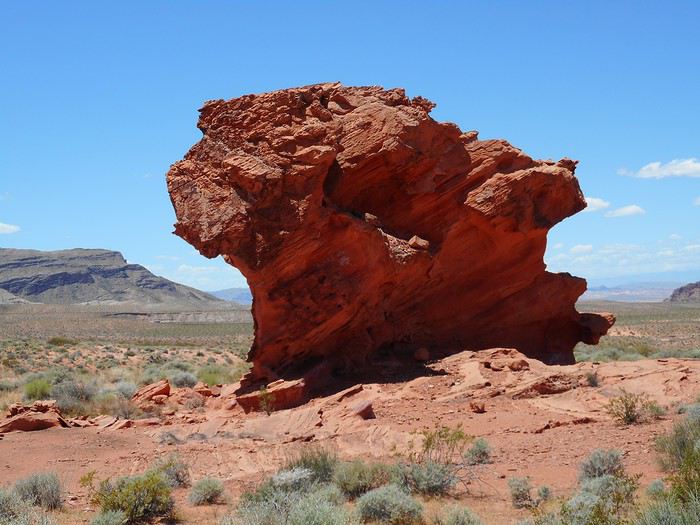
Further along the loop is "Piano Rock."
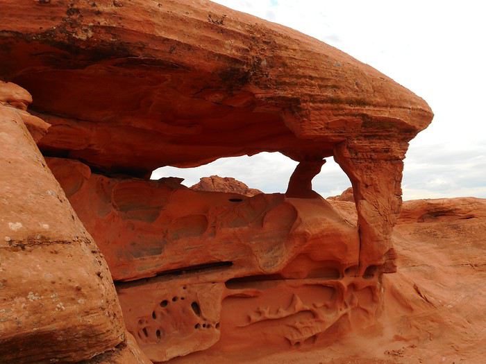
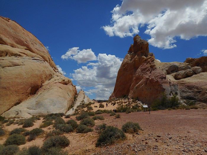
Continuing on the "Scenic Loop Road," I find two more interesting areas:
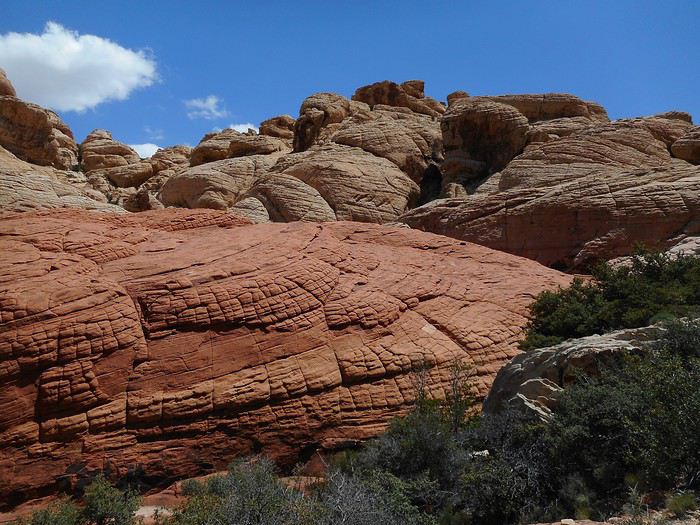
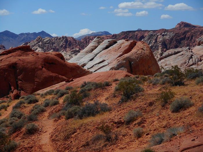
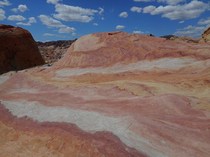
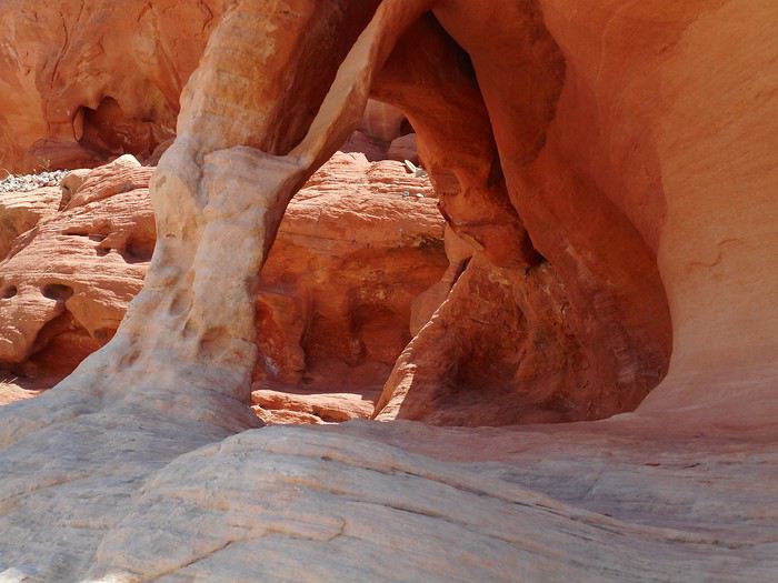
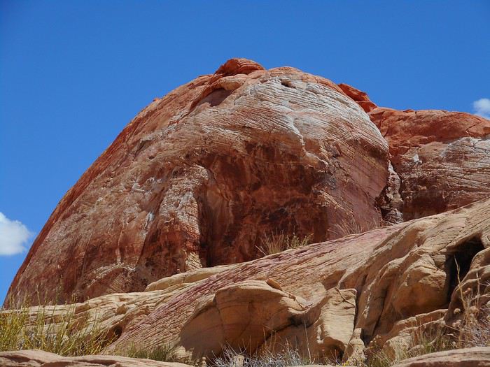
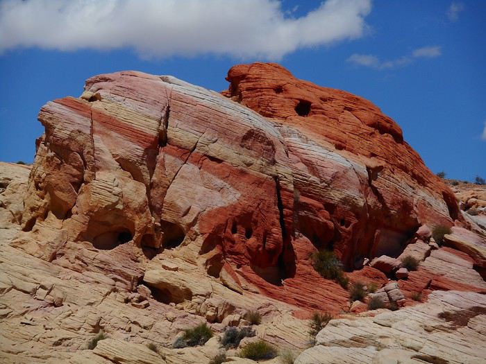
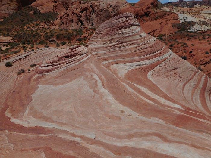
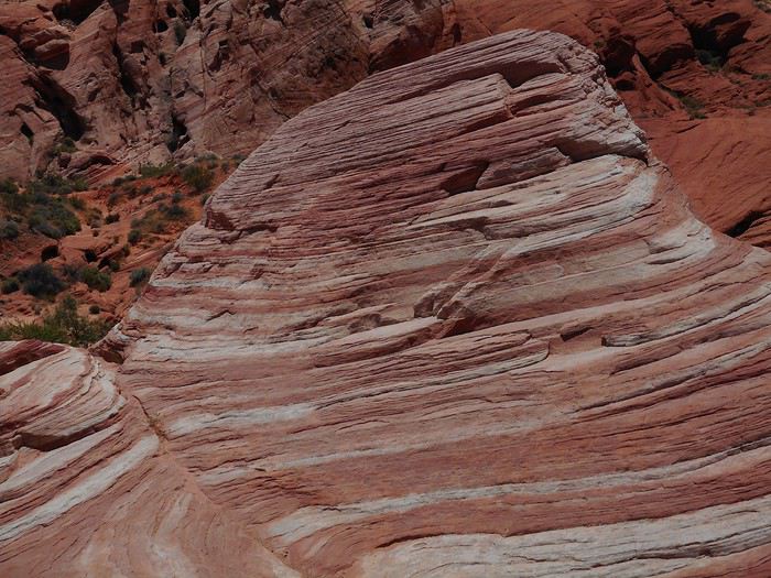
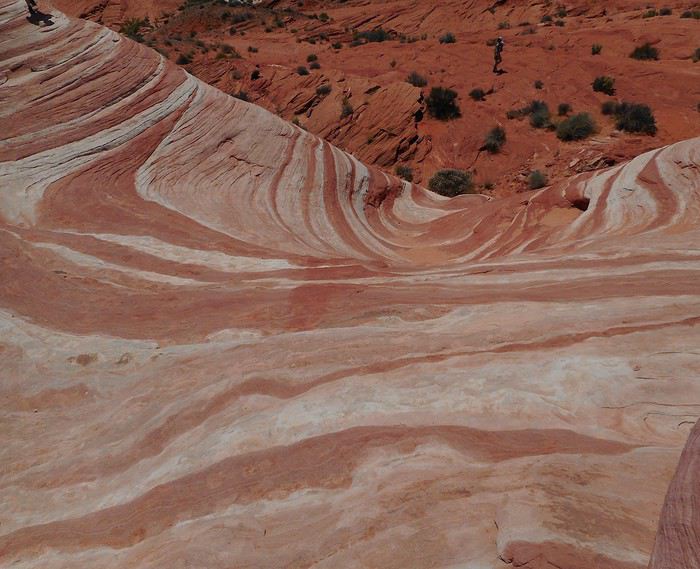
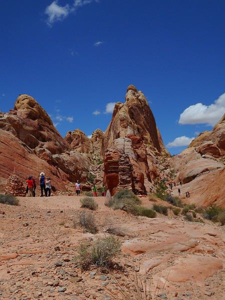
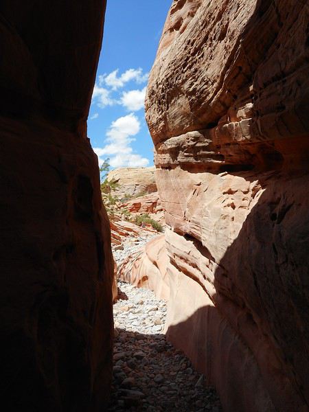
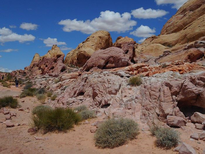
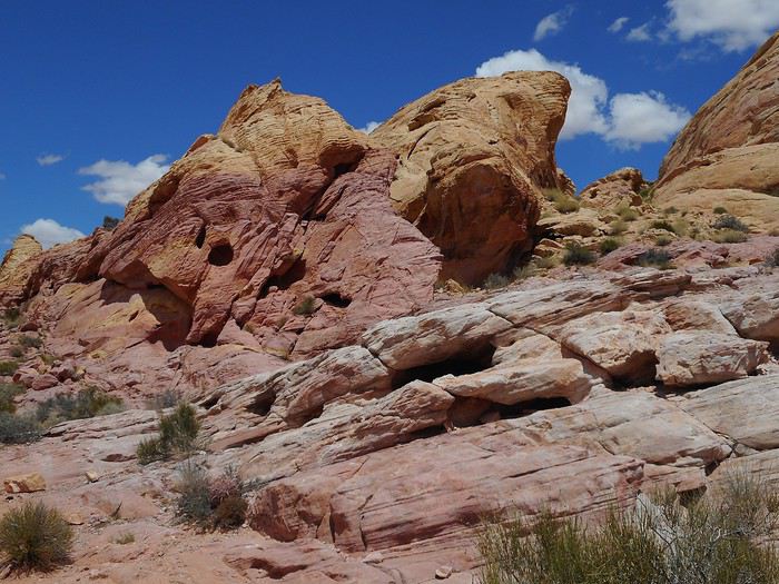
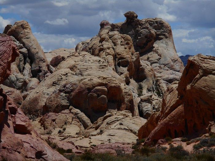
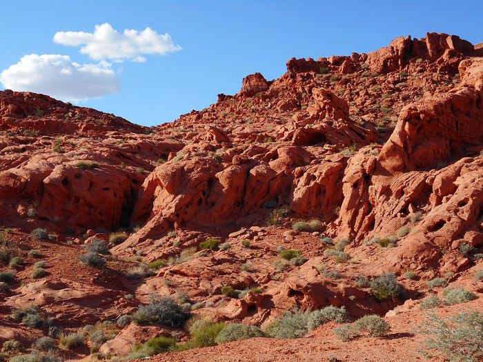
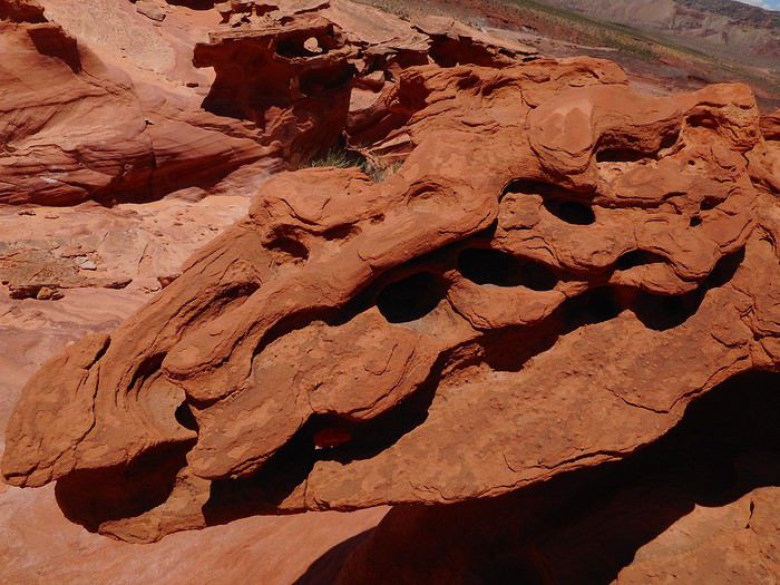
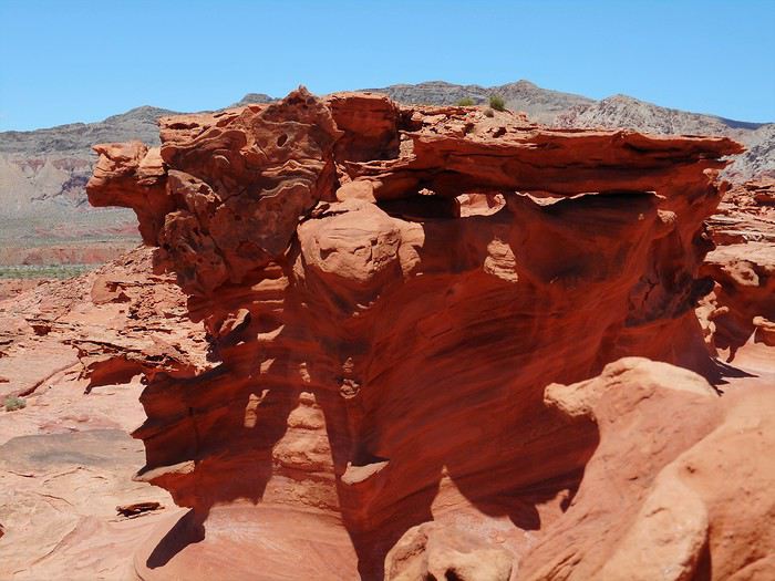
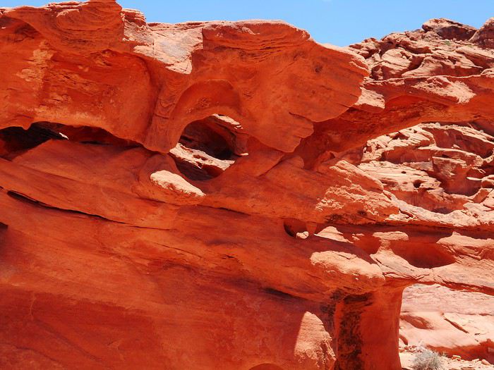
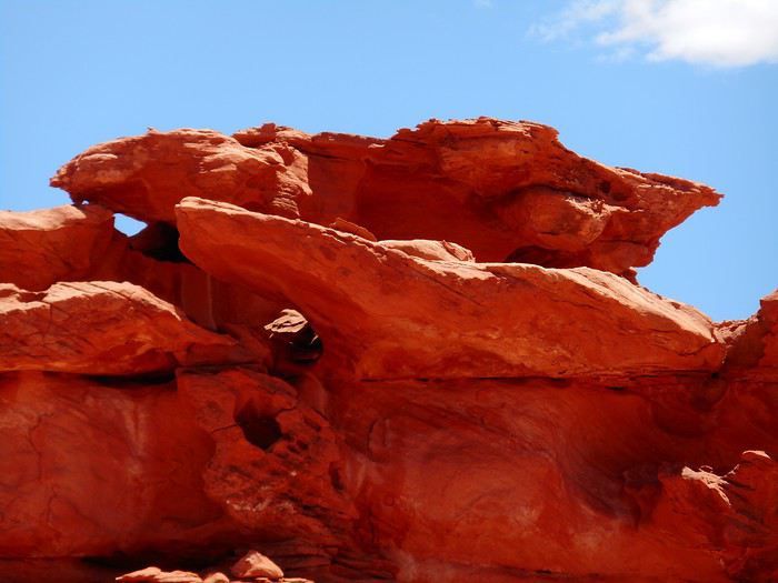
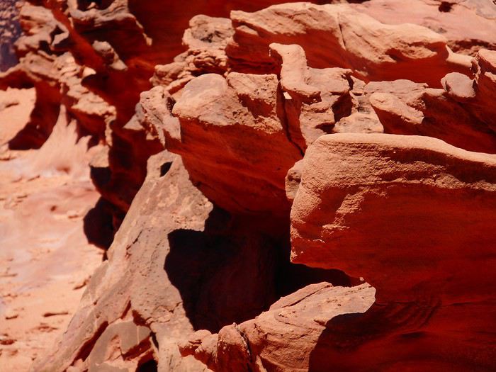
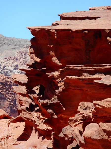
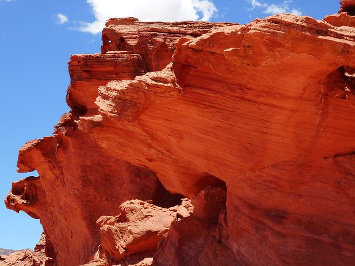
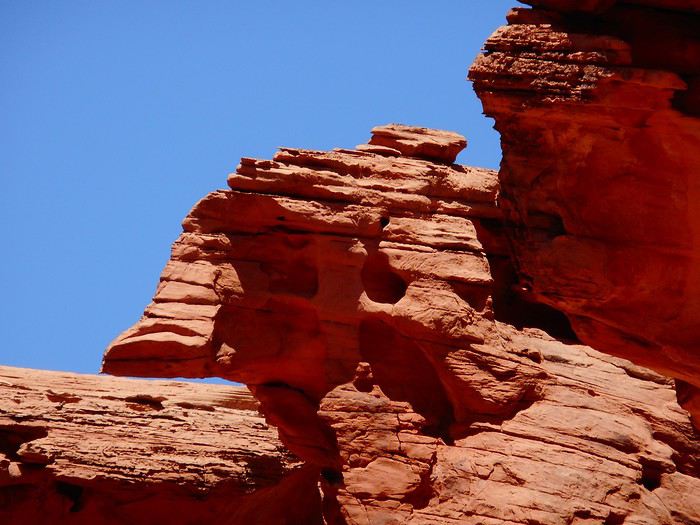
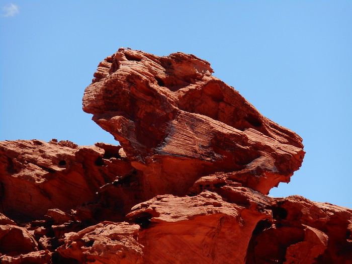
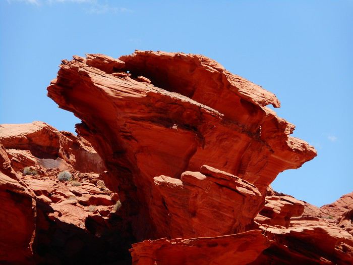
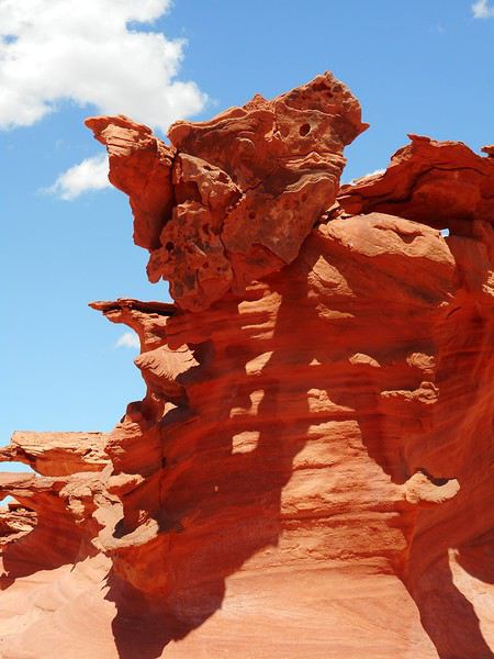
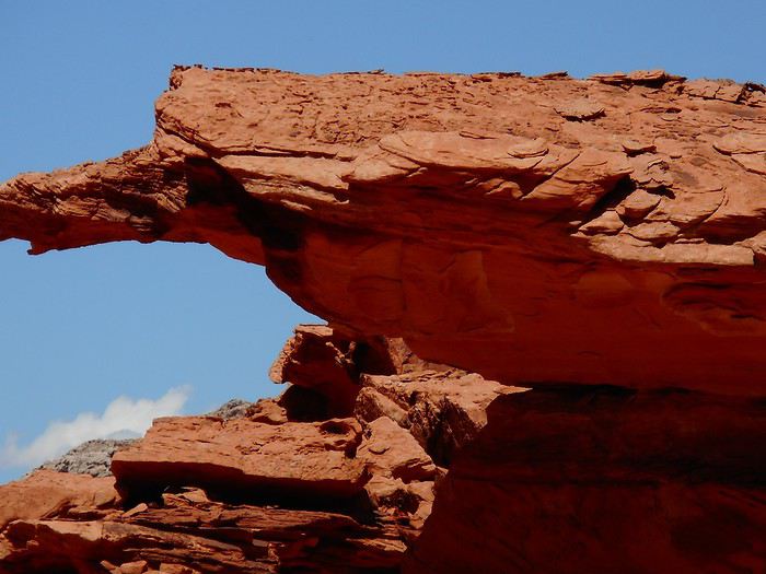
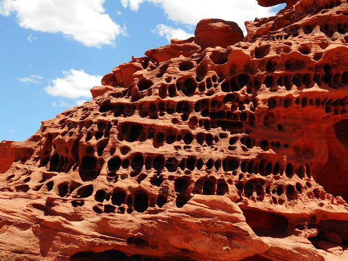
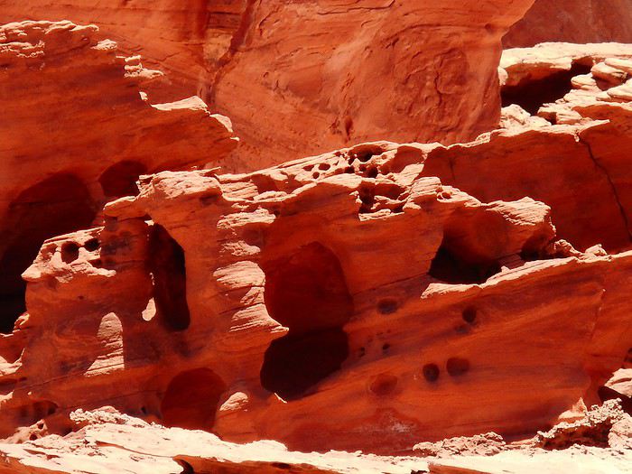
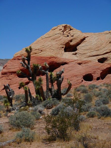
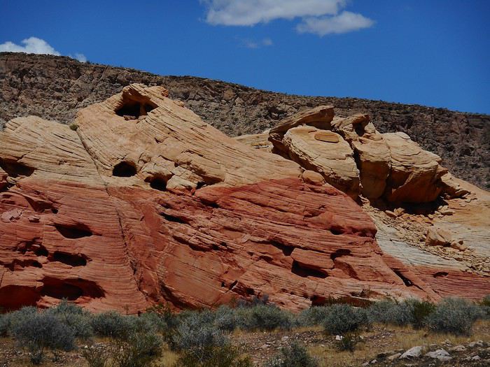
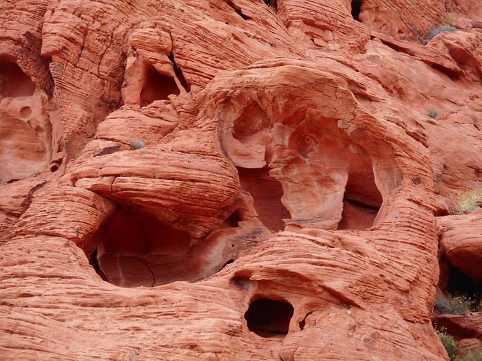
-The "Pagoda Arch" area. I don’t think I found the actual arch, but there are lots of amazing shapes and colors.
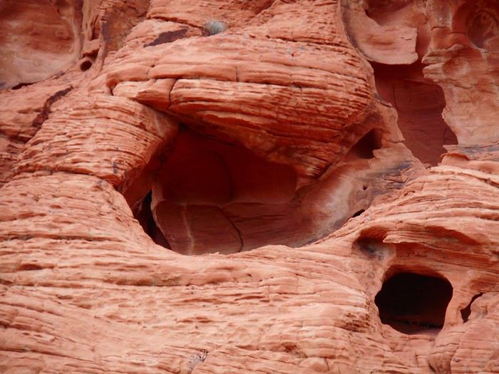
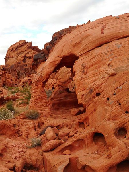
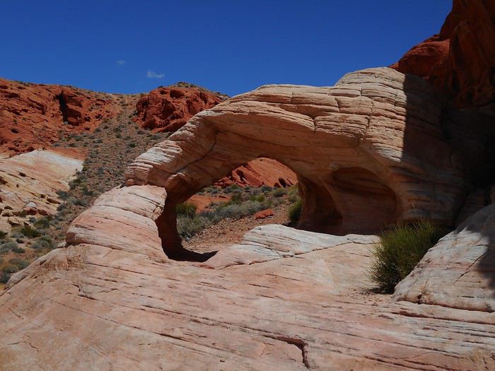
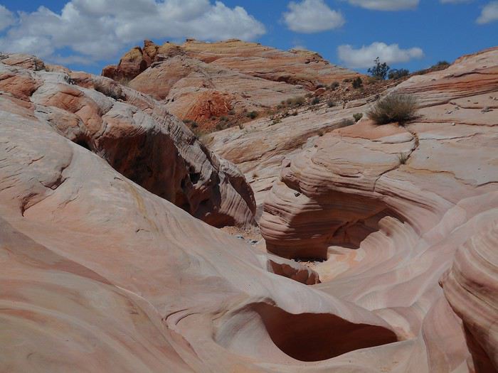
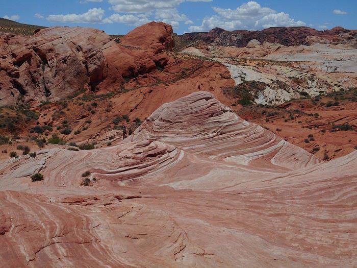
-The "Windstone Arch" area (same remarks).
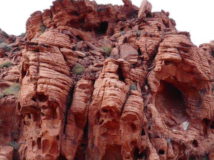
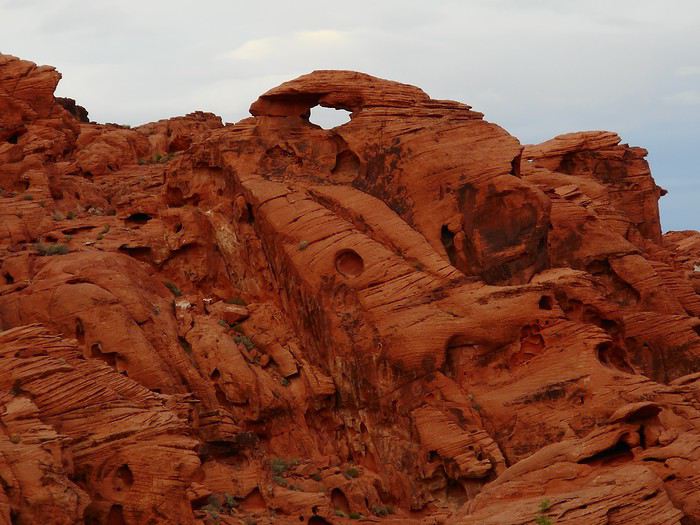
After dinner at the "Atlatl Rock" picnic area, I follow the park’s instructions for when campgrounds are full (in the park, camping is only allowed in designated sites). I exit through the west entrance, drive about 3 km (still within the park), then the road surface changes—I enter BLM (Bureau of Land Management) land, where you can camp anywhere in the sagebrush steppe.