in Entre deux voyages › Carnets de voyage
Langtang – Trekking in the Rain (page 3 of 6)
Discussion started by GeorgesOZ on 2025-09-28
108 replies
This thread has been translated into English.
Langtang – Trekking in the Rain
GeorgesOZ · 2025-10-08 · Message 41 of 109
Day 5 – Kyanjing Ri
Breakfast. The Americans are up around a table in a corner of the room, discussing their itinerary with their guide, with documents spread out on the table. They’re being loud again, completely ignoring the other guests. The nerve of those people! 😠
Y decided not to do the excursion to Kyanjing Ri. I totally get it, and H feels the same. As for me, I’m ready. I slept badly last night—the bed was really uncomfortable. 🙁 Oh well, at 7:30 AM, “zam zam”! The climb starts right after leaving Kyanjing Gompa. It’s a narrow trail but doesn’t present any particular difficulties—except that it goes up, up, up. I have to stop several times along the way to catch my breath. I hadn’t had any issues until now, but we’re now over 4,000 meters above sea level, and I’m starting to feel the fact that the air has much less oxygen available. Actually, if I understand correctly, the air contains the same proportion of oxygen here as at sea level—21%—but the air pressure is lower, which means with each breath, you get less air, and therefore less oxygen, into your lungs. Other than that, no other issues, no symptoms of altitude sickness.
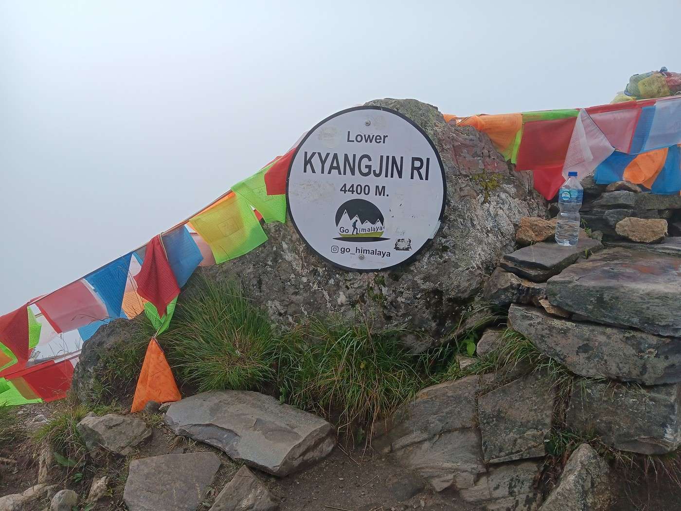
We reach a saddle: to the left (west), the “Lower Kyanjing Ri,” at 4,400 meters, and to the right (east), a second summit peaking at 4,773 meters. I’ve already climbed 530 meters in elevation from Kyanjing Gompa (3,870 meters) in about an hour and a half. The extra 373 meters to reach the higher summit would be too much for me. H says it would take another hour and a half to get there.
The saddle isn’t spacious. It only offers a few square meters of relatively flat ground to spread out the map I was given in KTM. With my cheap little compass, I orient it under the surprised gazes of H and S. I don’t think this kind of thing is part of their education… Once the two summits are located, we know Tibet is straight ahead, just a few kilometers away.
It only takes about ten minutes to reach “Lower Kyanjing Ri,” just after 9 AM. First photo. There’s still some scrub at this altitude, and I’ve noticed plenty of goat, cow, and yak droppings along the way. It’s still cow-mountain territory!
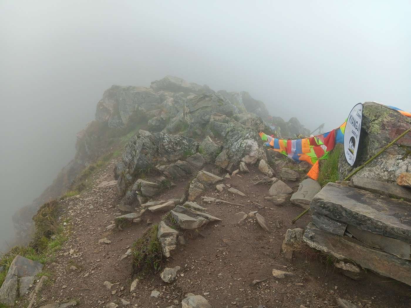
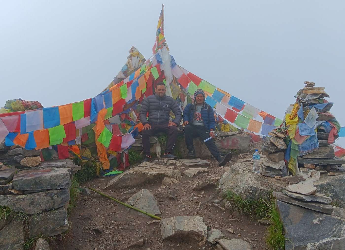
The second photo shows the arrival at the summit—I think it really captures the chaotic nature of this mountain! Also, you can see there are only a few meters of usable space between the steep slopes. Third photo: H and S sitting a few steps higher, at the summit. Behind them, to the west, you can clearly see the Langtang Lirung, rising to 7,227 meters. It towers over us by almost 3,000 meters. Since it’s only 8 or 9 kilometers away, the clear weather lets us make out every detail of its majestic ice mass. 😎
I’m joking, of course! 😏 I held back from adding any lyrical words about birds chirping in the branches! In reality, we’ve been in the fog since Kyanjing Gompa, and visibility at the summit is probably only a few dozen meters at best.
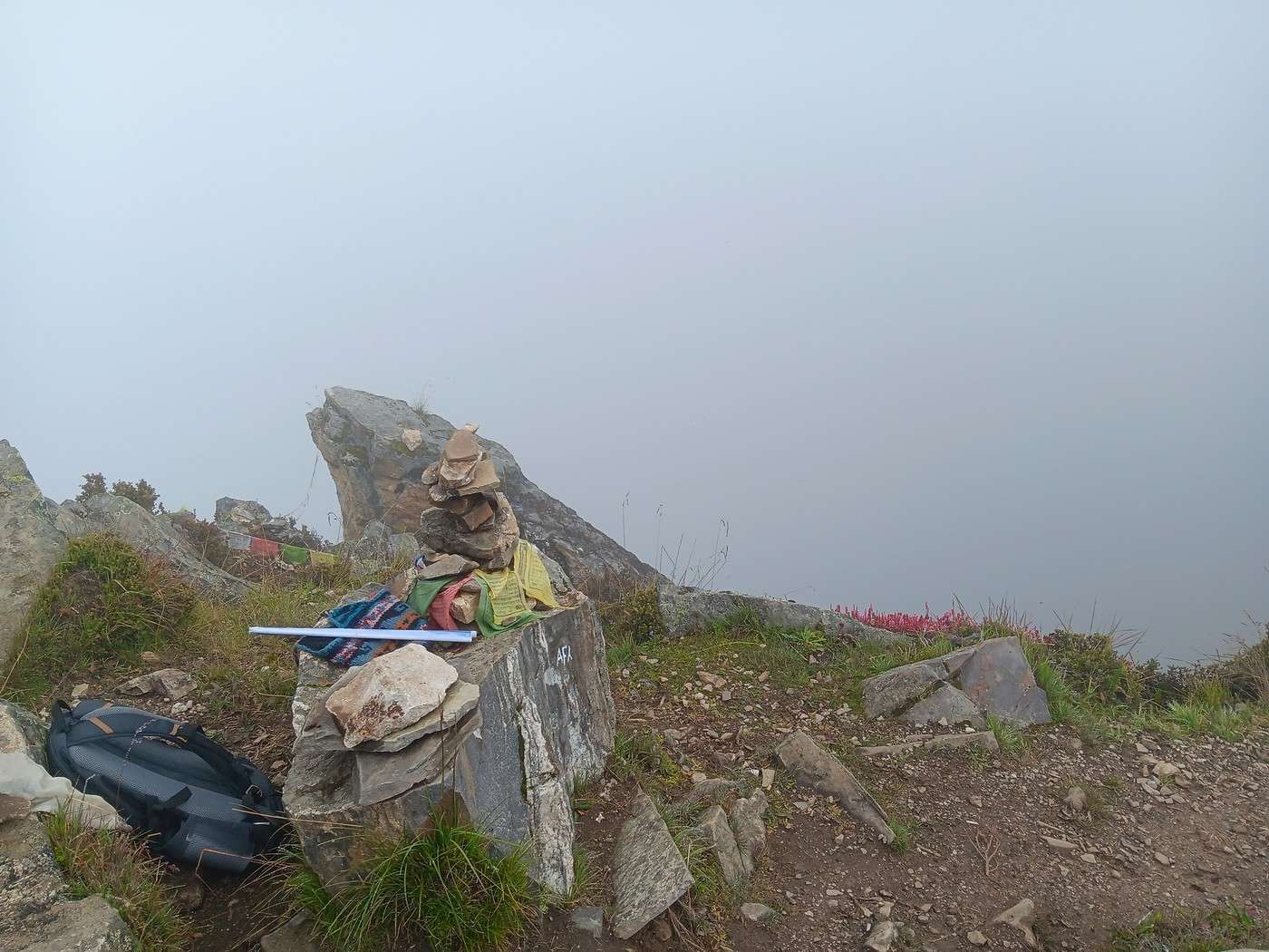
The fourth photo faces north. The Tibetan border is about 5 km away. But we can’t see a thing—just thick pea soup. What bad luck! 😕
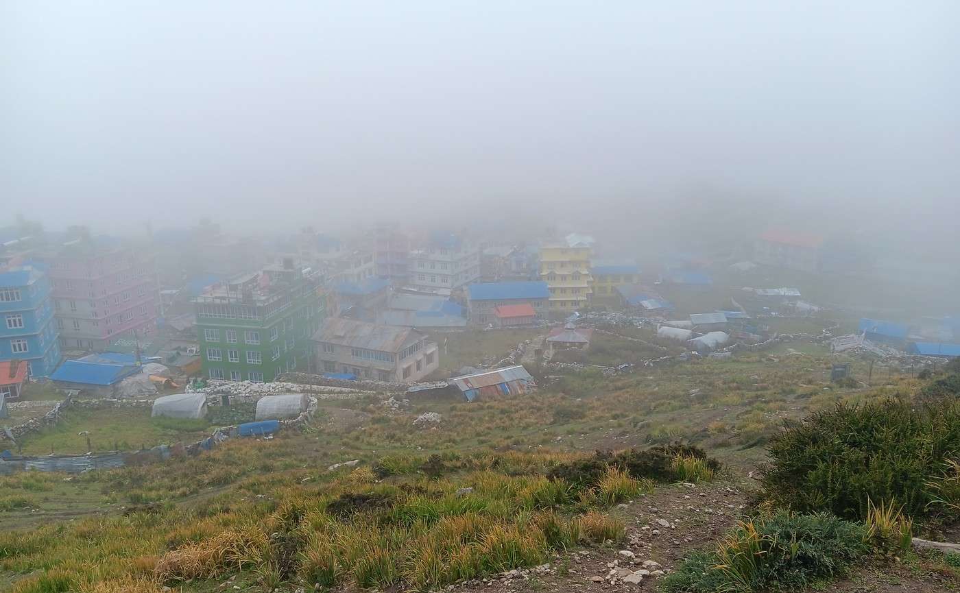
The descent is faster than the climb. We get back to Kyanjing Gompa around 10:30 AM. Fifth photo: Kyanjing Gompa in the fog.
Langtang – Trek in the Rain
Djalma · 2025-10-08 · Message 42 of 109
What rotten luck with the weather! I’ve done a good dozen treks in Nepal and I’ve never had weather like that… just a bit of fog at the Laurebina Pass, if I remember right. But I’ve always gone in October/November—even once as late as December—and also in March/April.
If you’d chosen that time, you could’ve seen the rhododendrons in bloom… not little shrubs like in France, but trees 15 meters tall! Completely covered in red flowers.
Too bad you didn’t keep going to the end of the valley toward Langshisha Kharka. It’s really the most beautiful part, and there are loads of yak herds. The climb is very gradual—nothing like Kyangjin Ri!
Langtang – Trekking in the Rain
GeorgesOZ · 2025-10-09 · Message 43 of 109
Such bad luck with the weather! I've done a good dozen treks in Nepal and I've never had weather like that... just a bit of fog at the Laurebina Pass, if I remember correctly. But I've always gone in October/November, even once until December, and also in March/April.
By the way, if you'd chosen that period, you could've seen the rhododendrons in bloom... not bushes like in France, but trees up to 15 meters tall! All covered in red flowers.
Yeah, I got it—I'll avoid September next time! It was a beginner's mistake... for trekking, at least, since it was my 3rd trip to Nepal. My first trip was back in 1982, October or even November I think. I spent a couple of weeks in KTM among other things—it was so cool! I remember it got pretty chilly at night in my little hotel room.
Too bad you didn't continue to the end of the valley toward Langshisha Kharka. It's really the most beautiful part, and there are plenty of yak herds... it climbs very gradually, unlike Kyangin Ri!
Noted. But that's a good two days' walk farther, according to the map. These days, I tend to lock in my schedule way in advance—everyone books things so far ahead! It wasn't like that in the past; you could improvise!
Have you climbed Langshisa Ri? That's 6,560 meters—quite another story!
For next time, I might look into the Pokhara area, but I'd go for a trek less crowded than those around Annapurna. Have you heard of Mardi Himal, a week-long trek?
Langtang – Trekking in the Rain
Djalma · 2025-10-09 · Message 44 of 109
You climbed Langshisa Ri? That’s 6,560 meters—whole different ballgame!
Nope, just Langshisha Kharka ;)
In Nepali, "Kharka" is a summer pasture for yaks during the warm season.
We set off early and did the round trip in a day.
Next time, I might look around Pokhara, but I’d go for a trek less crowded than the ones around Annapurna. Have you heard of Mardi Himal—a week-long trek?
I haven’t done Mardi Himal, but I think it’s pretty popular given all the ads about it.
A relatively easy week-long trek in the Annapurna region that’s mostly off the beaten path:
It’s the last section of the famous "Annapurna Circuit."
Before the trail existed in its first and last parts, you’d do a full loop from Pokhara to Pokhara, taking 19 days.
Now, most of it’s done by bus or jeep on the way up, then roughly cross Thorong La (5,400m) on foot, descend to Muktinath and Jomsom, and from there, almost no one continues on foot since there’s a drivable track + paved road back to Pokhara...
But there are still these alternative paths on the left bank of the Kali Gandaki—the main track runs on the right bank...
My tip:
Take a bus from Pokhara to Jomsom (2,750m) or fly there—it’s unpredictable, super impressive (you pass between two 8,000m peaks, Dhaulagiri and Annapurna), and a bit risky!
From there, it’s worth continuing to Muktinath but via the small, typical villages while avoiding the jeep track!...
Descend toward Kagbeni, a border village in Upper Mustang, still in its original state (well, I assume).
Then keep descending via the alternative paths. Stop in the lovely village of Marpha, then Tukuche, and at Larjung, take a detour east to reach Titi Lake (gorgeous—no one goes there!).
Finish the loop at Lete and take the alternative path to Gasa (or Ghansa) or Tatopani (hot springs) to enjoy the warm baths! Then take the bus back to Pokhara.
https://mapy.com/en/zakladni?source=osm&id=1040458691&ds=1&x=83.6190584&y=28.6429749&z=14
Langtang – Trekking in the Rain
GeorgesOZ · 2025-10-10 · Message 45 of 109
Did you climb Langshisa Ri? That’s 6,560 meters—whole different ballgame!
Nope, just Langshisha Kharka ;)
In Nepali, "Kharka" is a summer pasture for yaks during the warm season.
By getting up early, we did the round trip in a day.
Next time, I might look around Pokhara, but I’d go for a trek less crowded than the ones around Annapurna. Have you heard of Mardi Himal—a week-long trek?
I haven’t been to Mardi Himal, but I think it’s actually pretty popular based on all the ads about it.
A relatively easy trek you can do in a week in the Annapurna area that’s mostly *not* crowded at all:
It’s the last part of the famous "Annapurna Circuit."
Before the trail existed in its first and last sections, you’d really do a full loop from Pokhara to Pokhara, and it took 19 days.
Now, a big chunk is done by bus or jeep on the way up, then basically you cross Thorong La Pass (5,400m) on foot, descend to Muktinath and Jomsom, and after that, almost no one keeps walking since there’s a drivable track + paved road back to Pokhara...
But there are still these alternative paths on the left bank of the Kali Gandaki—the main track is on the right bank...
My tip:
Take a bus from Pokhara to Jomsom (2,750m) or fly there—it’s unpredictable, super impressive since you pass between two 8,000m peaks (Dhaulagiri and Annapurna), and a bit risky!
From there, it’s worth continuing to Muktinath but via the small, typical villages while avoiding the jeep track!...
Descend toward Kagbeni, a border village in Upper Mustang, still in its original state (well, I assume).
Then keep descending to Jomsom and continue (still downhill) on the alternative paths. Stop in the lovely village of Marpha, then Tukuche... At Larjung, take a detour east to reach Titi Lake (gorgeous—no one goes there!)... Finish the loop at Lete and take the alternative path to Gasa (or Ghansa) or Tatopani (hot springs) to enjoy the warm baths! Then take the bus back to Pokhara.
https://mapy.com/en/zakladni?source=osm&id=1040458691&ds=1&x=83.6190584&y=28.6429749&z=14Interesting. I think that’d take more than a week to do the whole thing, from Pokhara to Pokhara and back?
I see the permit for Upper Mustang (Kagbeni) costs 500 USD. For two people, that’s a fortune!
If we skip Upper Mustang, is a guide necessary/mandatory?
Langtang – Trek in the Rain
GeorgesOZ · 2025-10-10 · Message 46 of 109
Day 5 – From Kyanjing Gompa to Langtang
I’m picking up my travel journal where I’d come back down from Kyanjing Ri to Kyanjing Gompa.
Lunch before heading back to Langtang. Y negotiates the purchase of a few knitted trinkets made by the guesthouse owner’s wife. I think Djalma mentioned earlier that the Tamangs, the local population, aren’t *real* Tibetans. The guesthouse owner’s wife really has a Tibetan face! Wikipedia—the easy first source before consulting the “experts” 🙂—states that “the Tamang people are a hybrid ethnic group with an estimated 59% genetic contribution from Tibetan and 41% from Nepalese ancestries” = “the Tamangs are a hybrid ethnic group, with 59% Tibetan genetic contribution and 41% Nepalese” (my translation—you often find more info in English than in French).
Y settles on a pretty unique headband. The price drops in 2 or 3 minutes, from 10,000 rupees to the final 3,000 rupees. I remember negotiating small items with Tibetans during my first trip to Nepal in 1982, and I recall them being smiley but pretty tough on prices. I suspect they take advantage of the sympathy they know they inspire in foreigners!
I’m sure we could’ve pushed for another 500 rupees, but we don’t like haggling like dogs (I’ve seen French people do it, and it doesn’t help their reputation). We can imagine that the locals spend long winter months and the whole rainy season without seeing many people, and that they make all kinds of little things to earn a bit of money when customers return. They really need it!
We leave for Langtang. I can’t find any photos of our route—maybe I didn’t take any? Anyway, there’s not much to add to what I’ve already said about those few fairly easy kilometers.
In Langtang, we go back to the same guesthouse as on the way there—the one run by the woman who mumbles her prayers (I think in Tibetan) in front of her altar in a corner of the common room. That evening, we meet a friendly young American couple there. The woman says she grew up in Nepal, and sure enough, she seems to speak Nepali fluently with the guesthouse staff, guides, porters, etc. They’re heading straight back down to Syapru Besi tomorrow, like the two English women the other day. That’s not something we’d do! We’re in good shape physically, but we’re not the same age!
Langtang – Trekking in the Rain
Djalma · 2025-10-10 · Message 47 of 109
Interesting. I think it would take more than a week to do all that, from Pokhara to Pokhara and back?
I see the permit for Upper Mustang (Kagbeni) costs $500. For two people, that's a fortune!
If we avoid going to Upper Mustang, would a guide be necessary/mandatory?
1- No, not more than a week. You take the bus, jeep, or plane to "go up" directly to Jomosom (2750m).
From there, if you follow the alternative paths south on the left bank of the Kali Gandaki, it's a descent 2-day trek to Tatopani (hot springs)—that's why I suggested a little detour from Larjung to Titi Lake... (optional).
From Tatopani, it's a tough climb over a long day (Annapurna balcony) to Ghorepani/Poon Hill, where you get a magnificent view of the Annapurna range and Dhaulagiri. It's very busy, but everyone gets there from the other side (from Pokhara). Optional too... In Tatopani, you can take a bus to Pokhara (via Beni).
If from Jomosom you head north first, it's one or two days to climb to Muktinath (3600m) at the foot of the Thorung Pass (5400m). Muktinath is a pilgrimage site with a temple where a flame burns permanently... Between the two, several timeless villages—worth stopping in one of them.
The return is Muktinath-Kagbeni/Jomosom.
Kagbeni, still in Lower Mustang (at the border), is a medieval village that gives you an idea of what Upper Mustang is like... From Kagbeni to Jomosom, or Jomosom to Kagbeni, it's a 2 to 2.5-hour walk on a trail following the Kali Gandaki... with very little elevation gain.
2- Upper Mustang is in a "restricted area," with the entry point at the village of Kagbeni. The permit costs $500 for 10 days, plus $50 per extra day. People often stay longer than 10 days. An agency is mandatory to get the permit, so you have agency fees (food, basic lodging, or camping) plus the round-trip flight Jomsom/Pokhara.
Upper Mustang is the most spectacular thing I've seen (in terms of landscapes) in Nepal. It's a mineral world still frozen in time, a desert dotted with high-mountain oases, with all the 8000m peaks right in front of you (on the way back) (Dhaulagiri, Annapurna 1, 2, 3, and South, Nilgiri, etc.), gigantic troglodyte cliffs, deep canyons. The sky is almost always clear because the monsoon doesn't reach it, but a violent wind sometimes blows. The country exudes serenity (Lamaist Buddhism).
3- According to the new guidelines, a guide would be mandatory for all types of treks in Nepal, but I think (without certainty) it's not enforced. This rule has been in place many times since the 90s without ever being applied. I've done most of my treks without a permit... You just need the TIMS, a form to fill out (describing the route taken) at the tourism office or immigration to enable searches in case of problems.
PS: Map of the Annapurna "Circuit"
https://peregrinetreks.com/fr/blog/carte-du-trek-du-circuit-des-AnnapurnasYou can see that the description of the "Circuit" stops at Jomosom. What I'm suggesting is doing the last part from Jomosom to Beni and Pokhara (with possible variations), with the option to take the bus at any time by leaving the alternative paths to return to the main road, where you'll find "bus stops" in every village.
3- Lower Mustang (up to Kagbeni), which covers part of the Annapurna Circuit, is not in a "restricted area," so unless the new guidelines are applied to the letter (mandatory guide for everything), neither the permit nor a guide is necessary.
I think Djalma mentioned earlier that the Tamangs, the local population, aren't "real" Tibetans. The GH owner’s wife really has a Tibetan face! Wikipedia—the first easy source of info before consulting the "experts" 🙂—says: "the Tamang people are a hybrid ethnic group with an estimated 59% genetic contribution from Tibetan and 41% from Nepalese ancestries" = "the Tamangs are a hybrid ethnic group with 59% Tibetan genetic contribution and 41% Nepalese."
Yes, the Tamangs are Tibetan, just like the French are Gaulish😉.
Langtang – Trek in the Rain
GeorgesOZ · 2025-10-11 · Message 48 of 109
Yeah, the Tamangs are Tibetan just like the French are Gaulish😉
If that’s the case, then not really! The French population—considering only those who’ve been French for at least 2 or 3 generations—probably has only a tiny fraction of a percent of Gaulish genetic heritage! Even 2,000 years ago (give or take), Rome was accusing Julius Caesar of committing outright genocide during his "Gallic Wars"!
Langtang – Trekking in the Rain
GeorgesOZ · 2025-10-11 · Message 49 of 109
Day 6 – From Langtang to Lama Hotel – Earthquakes
Woke up at 6:30 AM. Breakfast at 7 AM. Hit the trail just before 8 AM.
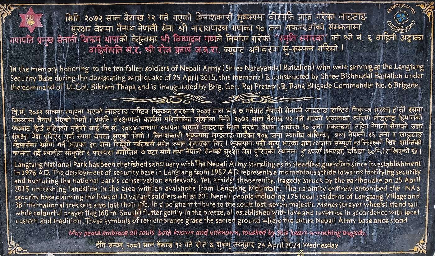
Just outside Langtang, we stopped in front of a small monument we’d already noticed three days earlier on our way from Lama Hotel. It was erected in memory of the April 2015 "Gorkha" earthquake that devastated Langtang. The commemorative plaque (1st photo) states that in addition to 10 soldiers, 201 Nepalis and 38 foreigners (trekkers) lost their lives—249 people in total! Wikipedia lists a total of 310 fatalities, with around a hundred never found.
The earthquake, with its epicenter between Pokhara and Kathmandu, measured 7.8 on the Richter scale. Significant, but 100 times less powerful than the Tōhoku earthquake in Japan in 2011, which, among other things, triggered a massive tsunami and the Fukushima nuclear disaster.
Nepal lies in the middle of a vast region affected by the collision between the Indian and Eurasian tectonic plates. This area stretches from Afghanistan and Pakistan to Myanmar and southern China. India, having broken away from the African continent 120 million years ago (during the Early Cretaceous), collided with Eurasia 50 million years ago (the Eocene geological age). It continues moving northward, diving beneath Eurasia, which has formed a foreland basin—the Gangetic Plain—lifted the Himalayan mountain range, and further elevated the Tibetan Plateau. It’s comparable to what’s happening with Italy, the Po Plain, and the Alps—the tectonic mechanisms are quite similar. This "subduction" creates an enormous number of faults (fractures). The 2015 earthquake was caused by a sudden shift along one of these faults.
The village of Langtang was completely destroyed by a massive avalanche triggered by the earthquake. Langtang sits just a few kilometers below the Luri Himal range, which peaks at Langtang Lirung (7,227 meters). You can imagine all that can come crashing down from such mountains!
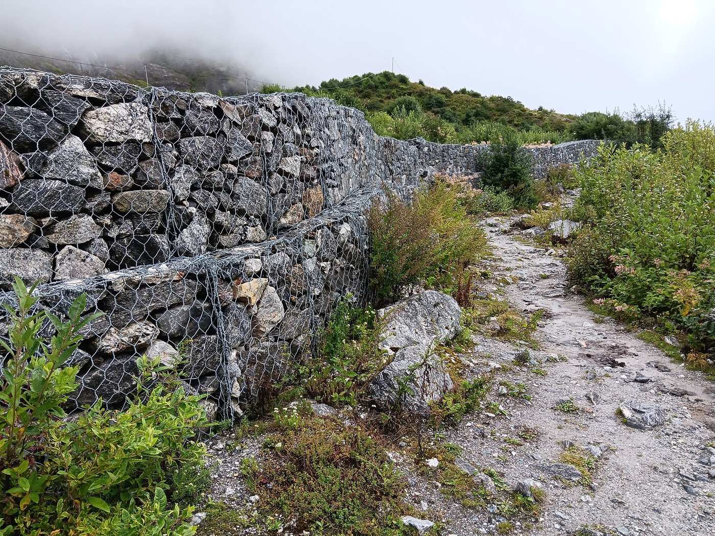
The village was rebuilt 500 meters upstream from its original location, now buried. As you pass the memorial, you’ll notice sturdy stone walls (2nd photo), no doubt built to protect people from any future landslides.
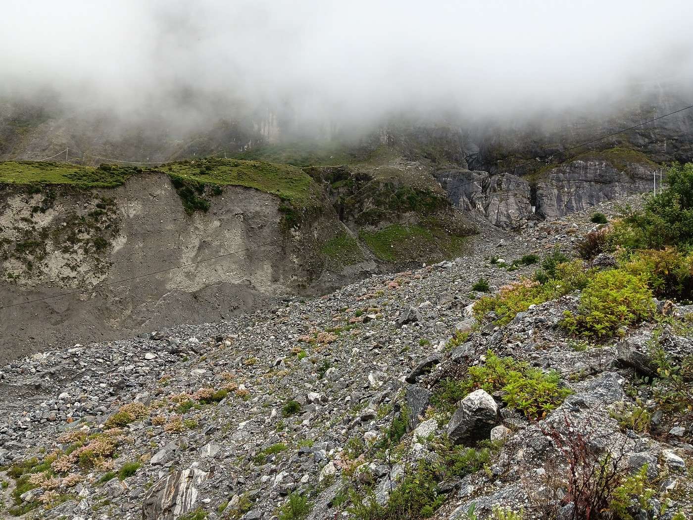
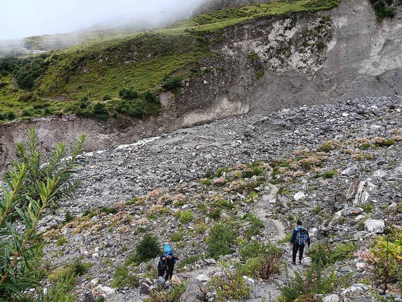
On the other side of the avalanche zone, what strikes me are the completely vertical, smooth, and clean mountain faces (3rd photo). A bit like slices of cake cut by a knife. These "cuts" must be fresh, otherwise erosion would’ve already altered their appearance. So, it seems we’re looking at a fault plane reactivated in 2015. The displacement along this fault must’ve been several meters—truly impressive. It’s likely a "strike-slip" fault (strike slip in English), with horizontal movement, but you’d need to examine it up close—look at the friction striations, etc. A whole geological investigation! The reactivation of this fault by the earthquake undoubtedly caused the avalanche.
Though the trail is fairly well-marked (4th photo), I think it’d be easy to get lost in this chaotic landscape! We’d been wondering from the start if a guide was really necessary—they don’t seem to do much besides handling lodging and meals—but you might regret not having one!
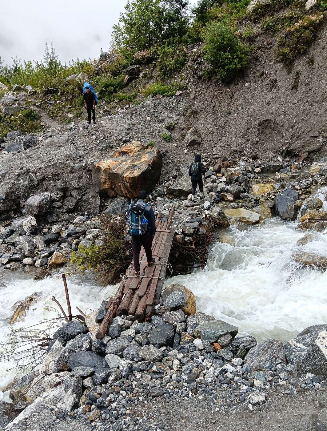
Luckily, it’s not raining, and the terrain is mostly rocky—no clay. In the photo, on the left, you can already see the torrent naturally exploiting the base of the fault. A wooden-plank bridge lets us cross it easily (5th photo). Easily, yes, but I’m sure plenty of people would hesitate seeing the torrent’s force. Check out the video I uploaded to YouTube:
https://youtu.be/R9kPUFpQ5_AIt’s only 8:30 AM.
Langtang – Trekking in the Rain
Nimou74 · 2025-10-11 · Message 50 of 109
I'm still following your journey through the rain and mist... Oh dear! 😕
Next time, I might look into Pokhara, but I'd go for a trek less crowded than those around Annapurna. Have you heard of the Mardi Himal, a week-long trek?
Random thoughts...
I don’t know the Mardi Himal in the Annapurna area.
Djalma gave you a good tip, though it’s not my favorite part of the Annapurna Circuit (the Gandaki Valley from Jomsom to Tatopani, with the final climb to Ghorepani). There are beautiful spots, like the village of Marpha, but sometimes you have to walk along the extremely dusty road with frequent truck traffic, and I find the landscapes less impressive than elsewhere.
Muktinath and its surroundings, on the other hand, are much more interesting to me. The valley is full of temples, monasteries (Dzong, Kagbeni...), and offers stunning views of Dhaulagiri.
Very few tourists take the trail between Muktinath and Jomsom via the Lubra Pass. I personally loved this route.
In theory, you can explore this region in less than a week.
Otherwise, if you get a permit for $500/person, then yes, I can only recommend Upper Mustang. The landscapes there are exceptional, and if you ever return to Nepal in September , the weather is much better than south of the 8000m mark—the climate is much drier.
I went back to do the Annapurna Circuit two years ago. It was in November. Even though it’s popular, this trek is absolutely stunning.
Of course, 8 days isn’t enough, but you can shorten it by taking a jeep to Chame. Some take it all the way to Manang, but that’s a bit irresponsible, as the risk of AMS (acute mountain sickness) is still significant. The trail between Upper Pisang and Ngwal is absolutely gorgeous and lets you avoid the road, which is unavoidable in some places but fairly short in the end.
So from Chame to Muktinath without going as far as Tilicho, you should be able to do it in 8 days if you walk well:
1 night in Chame, 1 in Upper Pisang, 1 in Ngwal, 2 in Manang, 1 in Yak Kharka, 1 in Thorong Phedi, 1 in Muktinath.
Another alternative in this region is the Naar and Phu trek. Also breathtaking. A permit is required, but it’s much cheaper than the one for Upper Mustang.
Things change quickly in Nepal. What wasn’t possible a few years ago has become doable. But the mountains remain...
As you know, Nepalis will bend over backwards to meet your requests.
Though modest, I’ve written a travel journal about Nepal. It’s on my travel blog (see my profile). I cover all the treks mentioned above. The descriptions are pretty basic, but there are photos, and you’ll even see your Langtang trek in great weather (in February).
Langtang – Trekking in the Rain
Djalma · 2025-10-11 · Message 51 of 109
Obviously, 8 days isn’t enough, but you can shorten it by taking a jeep to Chame. Some take it higher, to Manang, but that’s a bit irresponsible since the risk of AMS is still significant. And the trail between Upper Pisang and Ngwal is absolutely stunning and lets you avoid the road, which is unavoidable in some places but fairly short in the end.
So from Chame to Muktinath without going all the way to Tilicho, you should be able to manage in 8 days if you walk well:
1 night in Chame, 1 in Upper Pisang, 1 in Ngwal, 2 in Manang, 1 in Yak Kharka, 1 in Thorong Phedi, 1 in Muktinath.
It’s a good option if you’re used to hiking regularly in the mountains, and if you’re over 70, you’ll need to have kept up a certain level of fitness... The Thorong Pass is still 5,400m high. In my opinion, it’s much more physically demanding than the Langtang Valley up to Kyangjin Gompa.
Starting the trek in Manang (3,500m) is indeed irresponsible. When I did the Annapurna Circuit, I started from Dumre/Besi Sahar at 650m. That gives you time to acclimatize.
Langtang – Trekking in the Rain
GeorgesOZ · 2025-10-11 · Message 52 of 109
I’m still following you through the rain and mist... Oh dear! 😕
Next time, I might look into Pokhara, but I’d go for a trek less crowded than those around Annapurna. Have you heard of the Mardi Himal, a week-long trek?
Random thoughts...
I don’t know the Mardi Himal in the Annapurna area.
Djalma gave you some good advice, though it’s not my favorite part of the Annapurna Circuit (the Gandaki Valley from Jomsom to Tatopani, with the final climb to Ghorepani). There are some lovely spots, like the village of Marpha, but sometimes you have to walk along the extremely dusty road with frequent truck traffic, and I find the landscapes less impressive than elsewhere.
Muktinath and its surroundings, on the other hand, are much more interesting in my opinion. The valley is full of temples, monasteries (Dzong, Kagbeni...), and offers a stunning view of Dhaulagiri.
Very few tourists take the trail between Muktinath and Jomsom via the Lubra Pass. I personally really enjoyed this route.
In theory, you can explore this region in less than a week.
Otherwise, if you get a permit for $500/person, then yes, I can only recommend Upper Mustang. The landscapes there are exceptional, and if you ever decide to return to Nepal in September , the weather is much better than south of the 8,000-meter mark—the climate is much drier.
I went back to do the Annapurna Circuit two years ago. It was in November. Even though it’s popular, this trek is absolutely beautiful.
Of course, 8 days isn’t enough, but you can shorten it by taking a jeep to Chame. Some take it all the way to Manang, but that’s a bit irresponsible given the risk of AMS (Acute Mountain Sickness). The trail between Upper Pisang and Ngwal is absolutely stunning and lets you avoid the road, which is unavoidable in some places but fairly short in the end.
So from Chame to Muktinath without going as far as Tilicho, you should be able to do it in 8 days if you walk well:
1 night in Chame, 1 in Upper Pisang, 1 in Ngwal, 2 in Manang, 1 in Yak Kharka, 1 in Thorong Phedi, 1 in Muktinath.
Another alternative in this region is the Naar and Phu trek. Also stunning. A permit is required, but it’s much cheaper than the one for Upper Mustang.
Things change quickly in Nepal. What wasn’t possible a few years ago has become doable. But the mountains remain...
As you know, Nepalis will bend over backwards to meet your requests.
Though modest, I’ve written a travel journal about Nepal. It’s on my travel blog (see my profile). I cover all the treks mentioned above. The descriptions are pretty basic, but there are photos, and you’ll even see your Langtang trek in great weather (in February).
Hi Anne-Claire, and thanks for such an interesting reply! I can tell you’re a seasoned traveler and that you document your trips really well—great photos and flawless French to boot (so refreshing), in well-structured journals. I skimmed your "Nepal" section and your website, but I’ll definitely come back to dig up some "gems"!
Out of curiosity, I quickly scrolled through your pages on Mexico, a country I know pretty well and love. Like you, I wasn’t a huge fan of the Yucatán, and I totally agree—the country has so much more to offer! In fact, I’m heading back for a few weeks in March-April 2026. This time, it’ll mostly be the state of Michoacán, which I only scratched the surface of a few years ago.
Looking forward to reading more of your posts!
Langtang – Trekking in the Rain
GeorgesOZ · 2025-10-11 · Message 53 of 109
Obviously, 8 days isn’t enough, but you can shorten it by taking a jeep to Chame. Some take it higher, to Manang, but that’s a bit irresponsible since the risk of AMS is still significant. And the trail between Upper Pisang and Ngwal is absolutely stunning and lets you avoid the road, which is unavoidable in some places but fairly short in the end.
So from Chame to Muktinath without going all the way to Tilicho, you should be able to manage in 8 days if you walk well:
1 night in Chame, 1 in Upper Pisang, 1 in Ngwal, 2 in Manang, 1 in Yak Kharka, 1 in Thorong Phedi, 1 in Muktinath.
It’s a good option if you’re used to hiking regularly in the mountains, and if you’re over 70, you’ll need to have kept up a certain level of fitness... The Thorong Pass is still 5,400m. In my opinion, it’s much more physically demanding than the Langtang Valley up to Kyangjin Gompa.
Starting the trek in Manang (3,500m) is indeed irresponsible. When I did the Annapurna Circuit, I started from Dumre/Besi Sahar at 650m. That gives you time to acclimatize.
Hello to you too, Jean-Michel. 5,400 meters—I don’t know if I’d dare...
It’s a pleasure to get all this well-informed advice, thank you so much! VoyageForum is really an amazing site, and I’m thrilled it reopened after the COVID years!
Langtang – Trek in the Rain
Nimou74 · 2025-10-12 · Message 54 of 109
Thanks Georges for the kind compliment. 😊
I really want to explore the region north of Mexico City more deeply and even venture much farther north. The cities, like the landscapes, are so appealing.
Back to Nepal, sure, 5,400 m is quite an achievement, but by taking your time, it’s nothing insurmountable, and I think altitude-related issues have nothing to do with age.
But of course, we do get more tired as we get older, and no one’s spared... 😇
Langtang – Trekking in the Rain
GeorgesOZ · 2025-10-12 · Message 55 of 109
Thanks Georges for the kind compliment.
I really want to explore the region north of Mexico City and even go much further north. The cities, as well as the landscapes, are so appealing.
I’ll continue a bit on this Mexican tangent. I haven’t gone further north than Guanajuato, and to the west, the region between Guadalajara and the state of Colima. I recommend spending at least 2 days, if not 3, in Guadalajara. It’s Mexico’s 3rd-largest city (just behind Monterrey), not very crowded with foreign tourists, and really pleasant.
I love the landscapes, of course, but what attracts me the most is the contact with people, and for that, Mexicans are perfect... but I get by really well in Spanish, which helps!
I’ll close this tangent and get back to my Nepalese travel journal. 🙂
Langtang – Trekking in the Rain
GeorgesOZ · 2025-10-14 · Message 56 of 109
Day 6 – From Langtang to Lama Hotel (Continued)
We passed through that sadly notable area of the massive avalanche that devastated Langtang in April 2015.
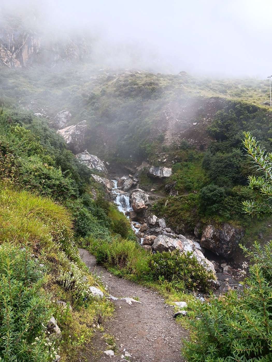
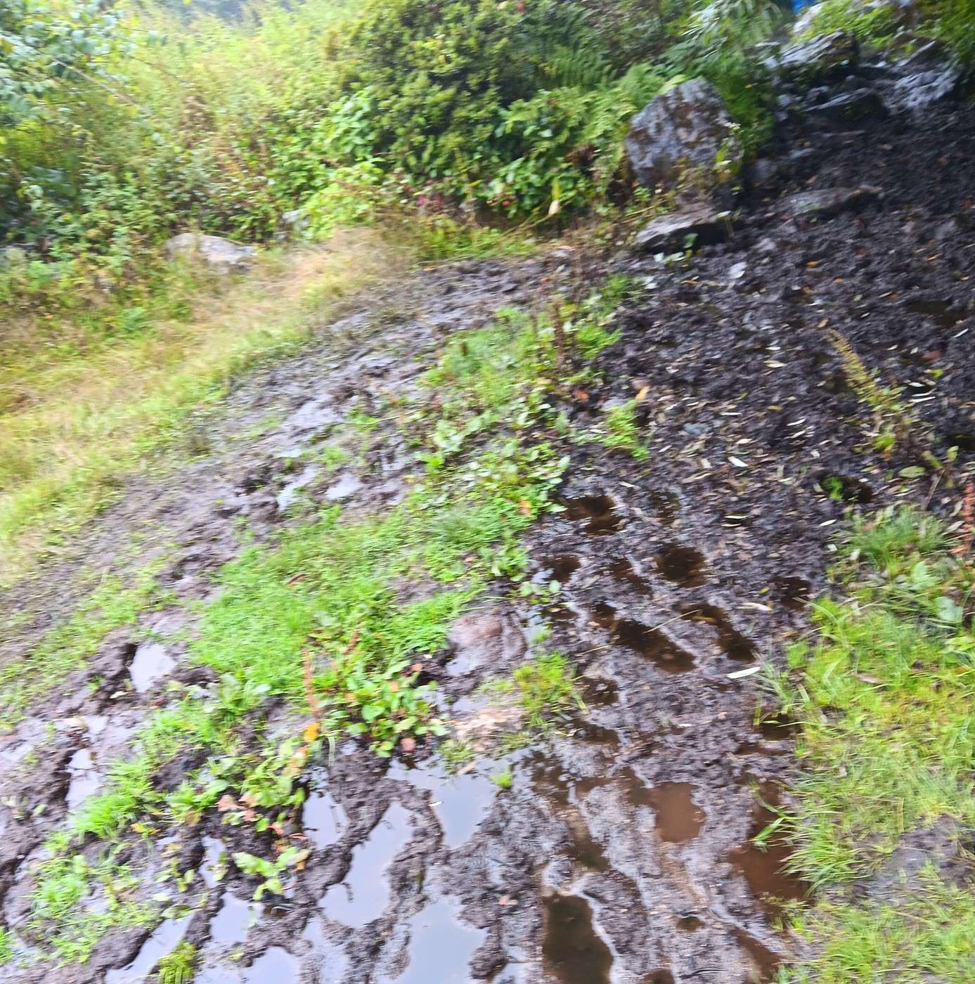
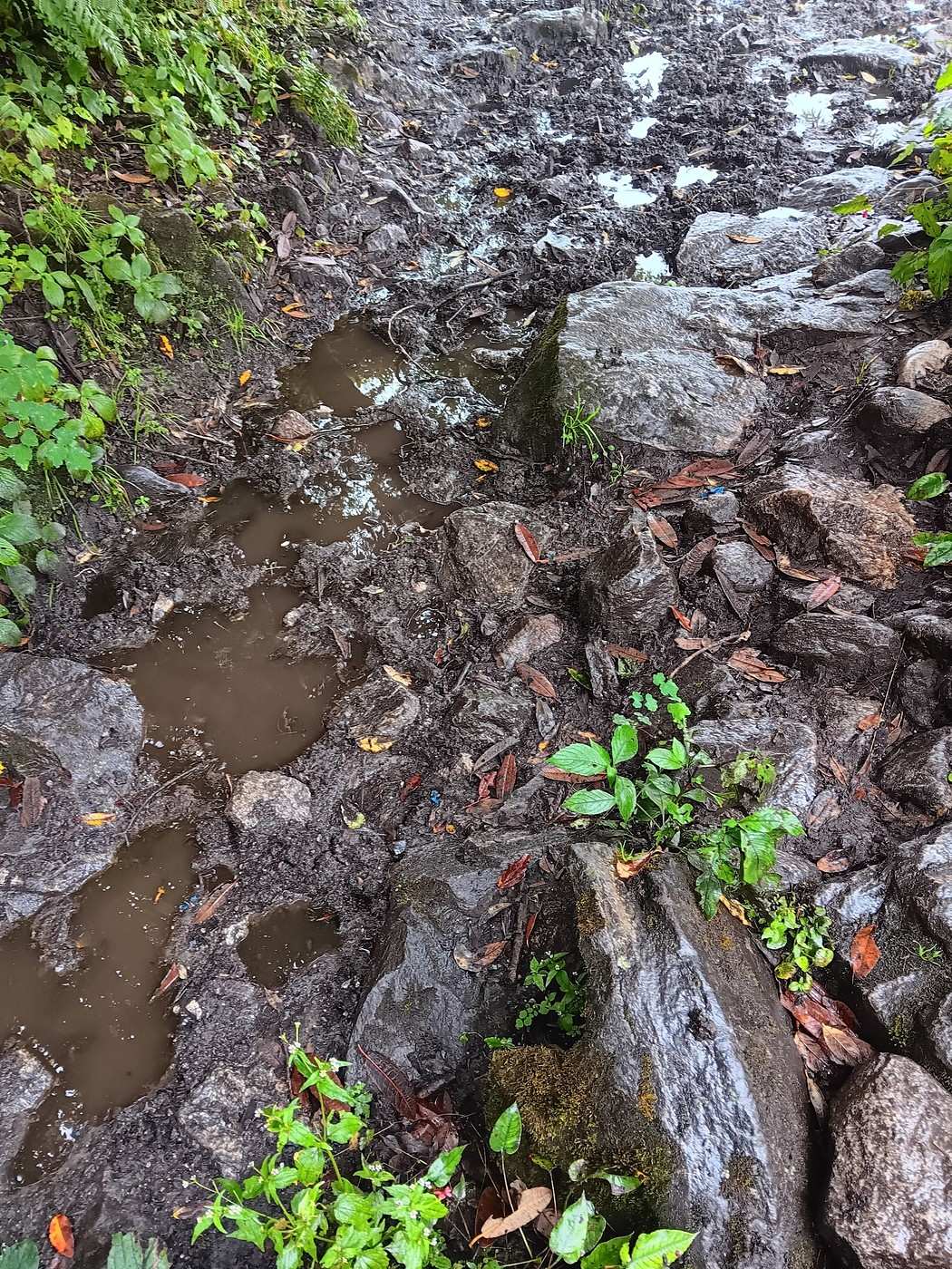
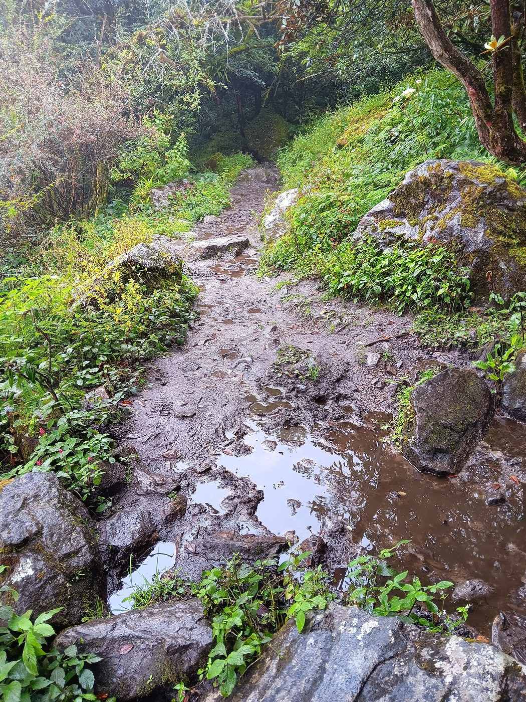
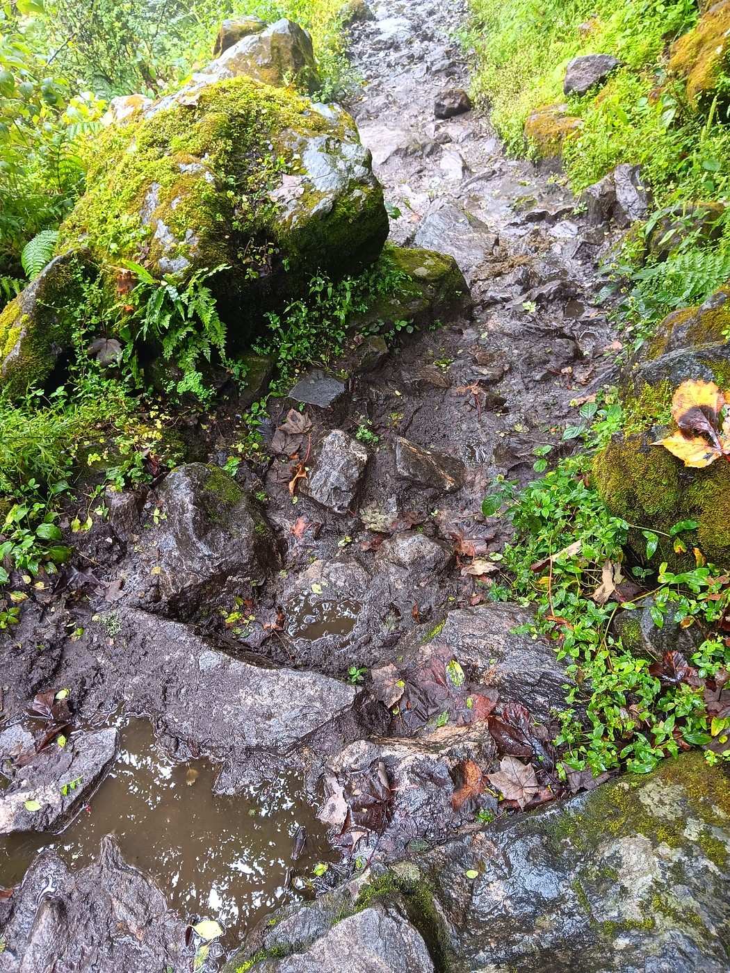
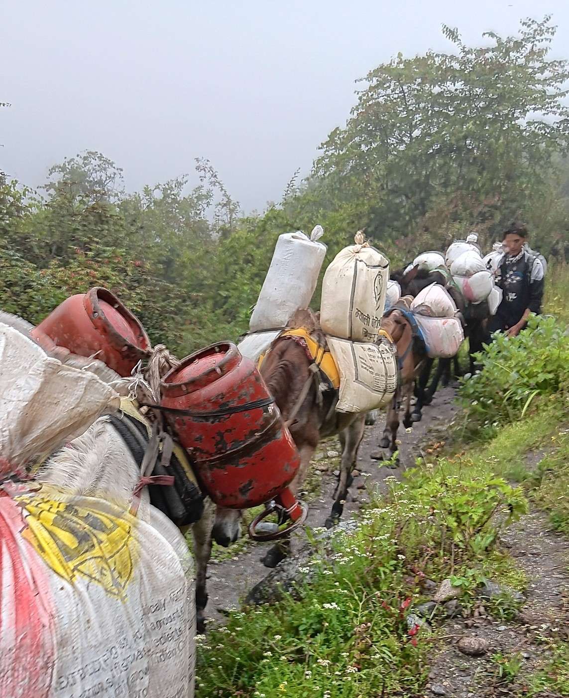
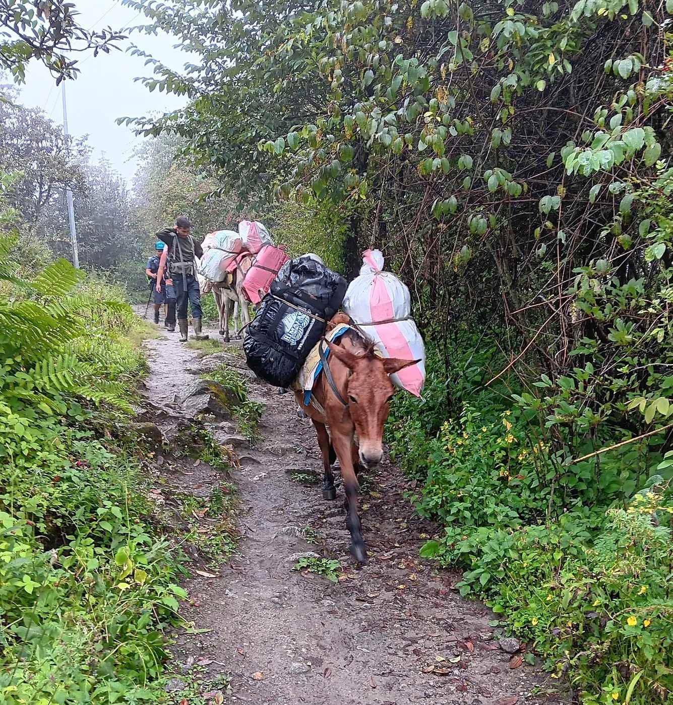
We continued on our way to Lama Hotel. It’s exactly the same path as on the way to Kyanjing Gompa, and we recognized several spots. The crossing of that beautiful stream, for example (1st photo). It’s been drizzling almost non-stop. To give you an idea of the trail’s nature, I’ve included a few photos (2nd, 3rd, 4th, and 5th photos). Around 10:30 AM, we crossed paths with a mule convoy heading up toward Langtang, Kyanjing Gompa, or maybe even farther into the valley (6th and 7th photos). The mules were loaded like... well, like pack mules! 😉 To bring goods into this remote region, there’s nothing but mules or human backs.
Since yesterday, when we left Kyanjing Gompa, we’ve seen few trekkers but quite a few Tamangs, coming and going. They really have Tibetan or at least Asian features. Yesterday, I think, two or three young people passed us almost at a run. One young girl was wearing nothing but flip-flops (red ones, I remember!) that were at least three or four sizes too big. 😮 These people are, of course, used to it.
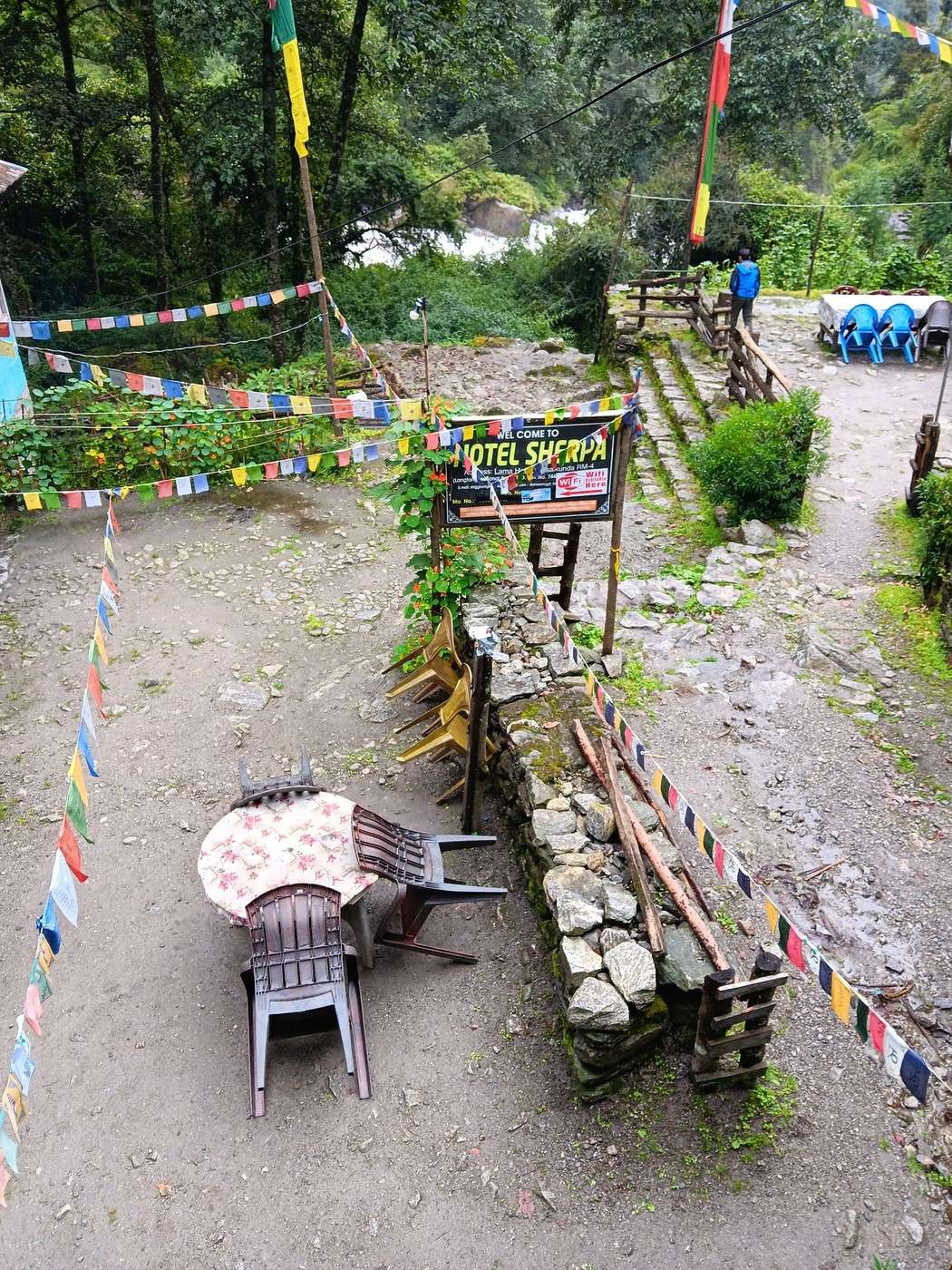
The descent is *so* much easier than the climb! And Y is now in great shape—she ran (or nearly did) ahead of H and me, accompanied by our porter S. We arrived at Lama Hotel around 2 PM. Here’s the view from the walkway we took to our room (8th photo): the courtyard of the Sherpa Hotel, an ambitious name for what it is! 😉 😇 It’s the same guesthouse as on the way up.
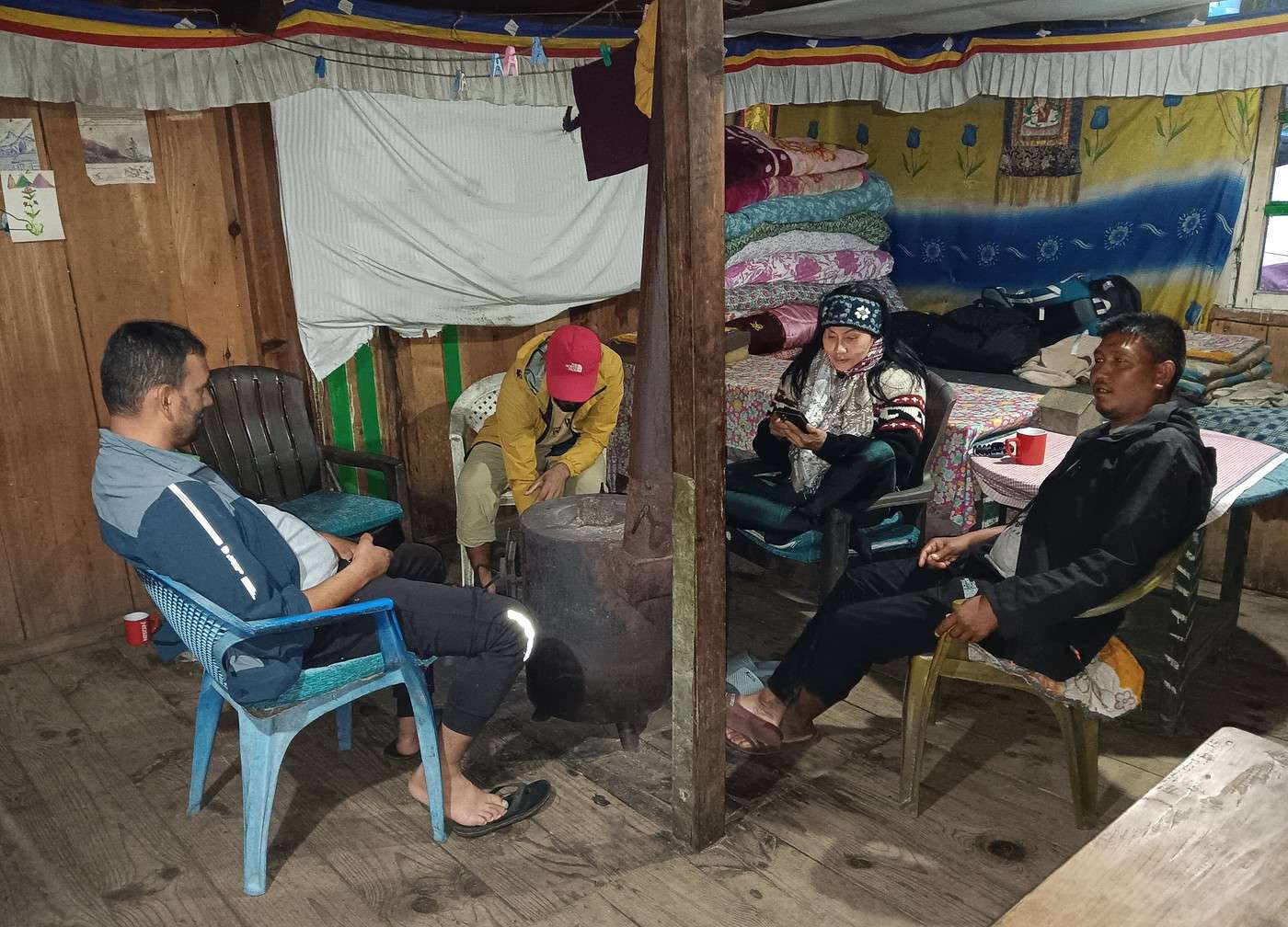
We met up again around 5 PM in the common room—there’s really nothing else to do. 9th photo: Y with H and S, warming up around the wood stove.
Since I’m almost at the 10-photo limit, I’ll take a little break before finishing this day’s account. To be continued, as they say! !
Langtang – Trekking in the Rain
GeorgesOZ · 2025-10-15 · Message 57 of 109
Day 6 – From Langtang to Lama Hotel (Continued and Concluded)
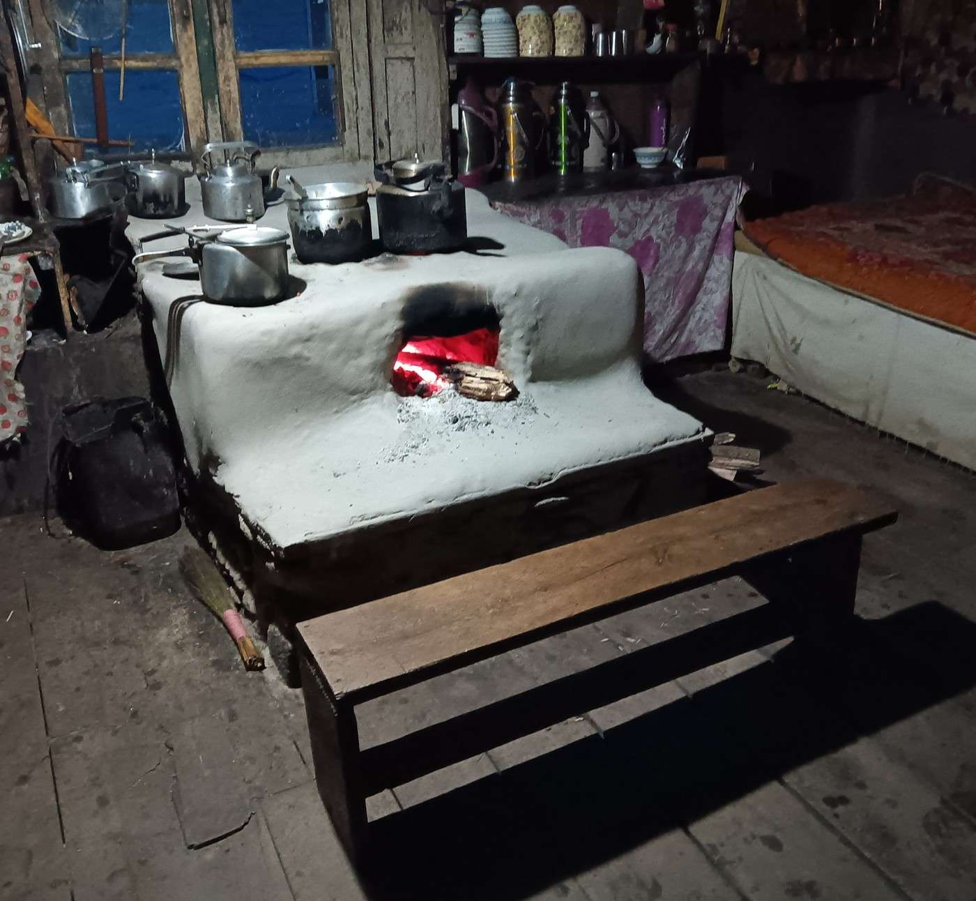
The kitchen is worth a look, especially the rustic setup (I can’t find the right word) for cooking (1st photo). Almost everyone has gotten into the habit of eating dinner fairly early. I ordered a vegetable soup, which, oh surprise! turns out to be pretty good. Did I mention we’re eating strictly vegetarian during the trek—aside from eggs and milk—to avoid any stomach issues that could ruin the trip? I think it suits H just fine, who seems to appreciate our frugality. After all, meals are part of the package we paid for, and any savings on our end benefit our agent, maybe even our guide.
A young guy who just walked into the common room catches my attention. He’s chatting with someone else about the small camera hanging around his neck. His cheerful and enthusiastic tone makes him instantly likable, and I strike up a conversation about photography, the type of camera he uses, etc. It’s his new hobby, and he’s thrilled about it! Since he sits at a nearby table, we keep talking, joined by a New Zealander and a Belgian from Leuven (I remember him—we’d already met in Kyanjing Gompa). Clearly, I’m not the only one enjoying a bit of conversation! The New Zealander talks about his experiences in Mexico and Colombia, where he spent quite some time. What I remember most is that he’d spent over half a year stuck in India during the COVID pandemic, unable to return to New Zealand—but he only answers my questions about where in India, etc., very vaguely.
The Belgian doesn’t say much, but the “photographer” is unstoppable. He’s Canadian, from Saskatchewan, of German and Ukrainian descent. He studied in southern Nova Scotia, where, he says, the Acadians speak a French that even other French Canadians can’t understand.
The young Canadian has a face that reminds me of Gene Wilder, which gets a laugh from everyone! I don’t remember everything we talked about—life stuff, etc. The main thing is that we hit it off so well that Morgan, that’s his name, warmly shakes my hand when I leave the room. It’s such a pleasure to meet people you just click with!
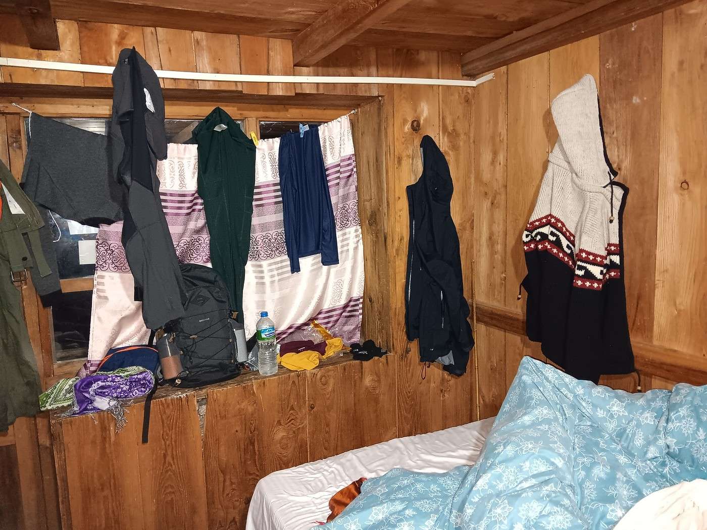
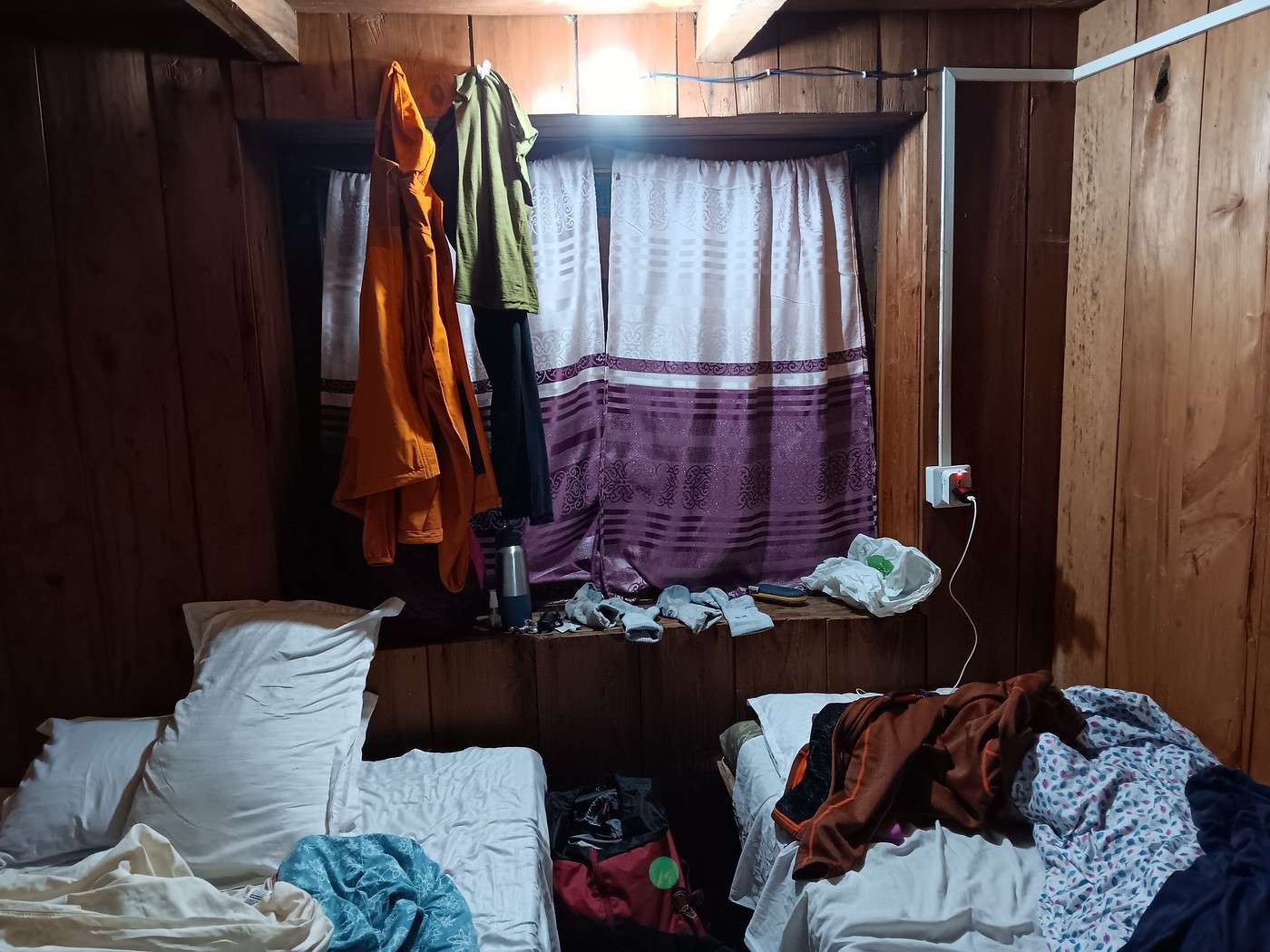
It’s raining nonstop. Y and I grab the clothes we’d hung outside. No chance they’ll dry! We hang up everything we can in our room (2nd and 3rd photos). You’ve got to make do with what you’ve got!
Langtang – Trekking in the Rain
Djalma · 2025-10-15 · Message 58 of 109
I think it works out well for H, who seems to appreciate our frugality. The thing is, meals are part of the package we paid for, and any savings made at our expense go to our agent, maybe even our guide.
That’s exactly it! I’ve done a few treks with mandatory guides in "restricted areas." The most recent one was in Upper Mustang...
Unlike you, I have a huge appetite and rarely settled for just one (rather frugal) dish, but the guide kept pointing out that any extra dish would have to be paid for separately... Fortunately, it wasn’t too expensive, but by the end of the trek, I filed a complaint (on principle) with the agency: "Nepal Ecology Trek." The director seemed surprised, claiming the guide shouldn’t have acted that way...
Langtang – Trek in the Rain
AlainB69 · 2025-10-15 · Message 59 of 109
Hi, I did this trek in a longer version with some variations and returned via the sacred lake last March. The weather was really good. I had a porter-guide (booked through a local agency from France) just for me, which allowed me to fully enjoy this amazing trek despite days with 1,200 m of elevation gain. I’m 74 years old and somewhat trained, mainly from walking in the city at low altitudes... We climbed up to 4,450 meters without any AMS issues thanks to a very gradual ascent. However, the first few days around 3,000 meters and above left me short of breath, but I adapted quickly. For me, this trek was fantastic with some really great encounters.
Alain
Langtang – Trek in the Rain
GeorgesOZ · 2025-10-16 · Message 60 of 109
Hello, I did this trek in a longer version with some variations and returning via the sacred lake, last March. The weather was quite good. I had a guide-porter (hired through a local agency from France) just for me, which allowed me to fully enjoy this magnificent trek despite days with 1,200 m of elevation gain. I'm 74 years old and I'm somewhat trained, mainly from walking in the city at low altitude... We climbed up to 4,450 meters without any AMS issues thanks to a very gradual ascent. However, during the first few days around 3,000 meters and above, I was short of breath, but I adapted quickly. For me, this trek was fantastic with some really great encounters.
Alain
You were lucky! There must have been snow in some places in March, right?