Recap of our family trip from Denver to Yellowstone
Day 15: This time, we tackle the north side of the canyon (parking half-empty—nice!) with our first viewpoint from Overlook Point.
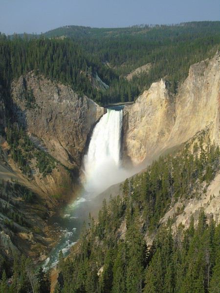
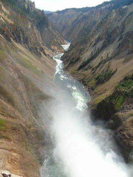
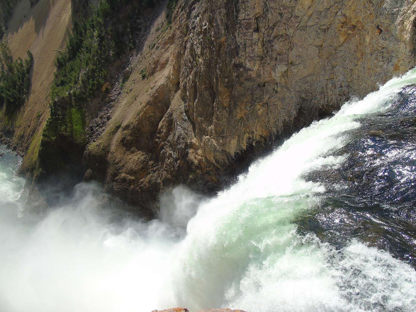
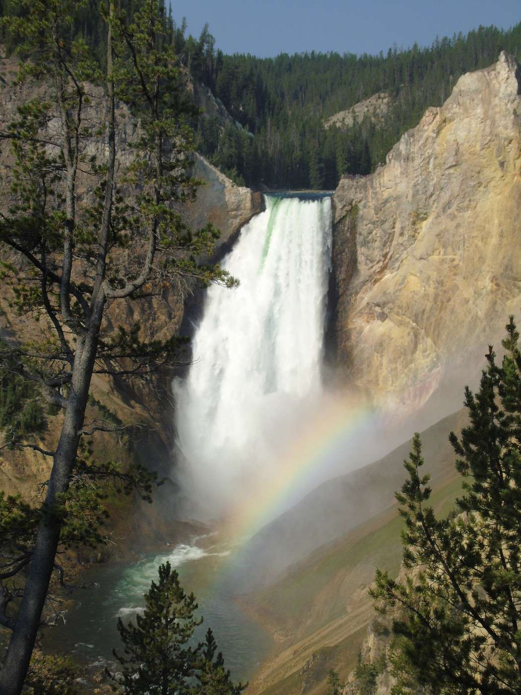
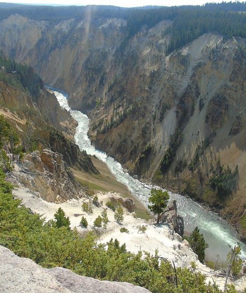 We head down to Red Rock Point (about 1 km, 150 m elevation change). Gorgeous—a beautiful rainbow forms at the base of the waterfall. The climb back up is pretty steep, but it’s definitely worth seeing.
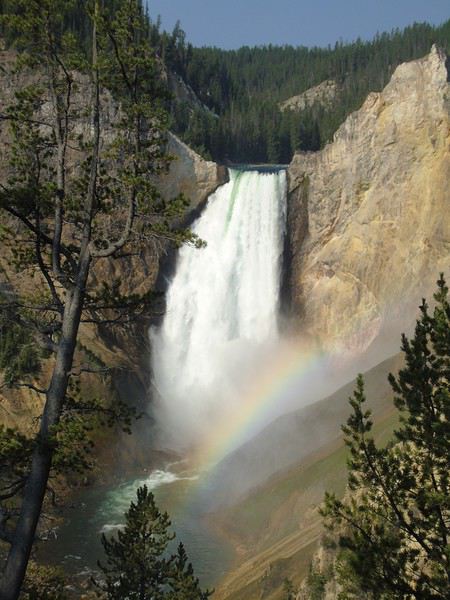
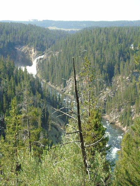
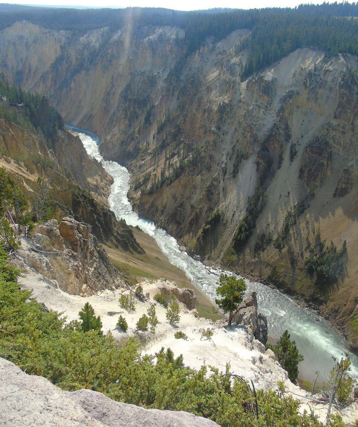
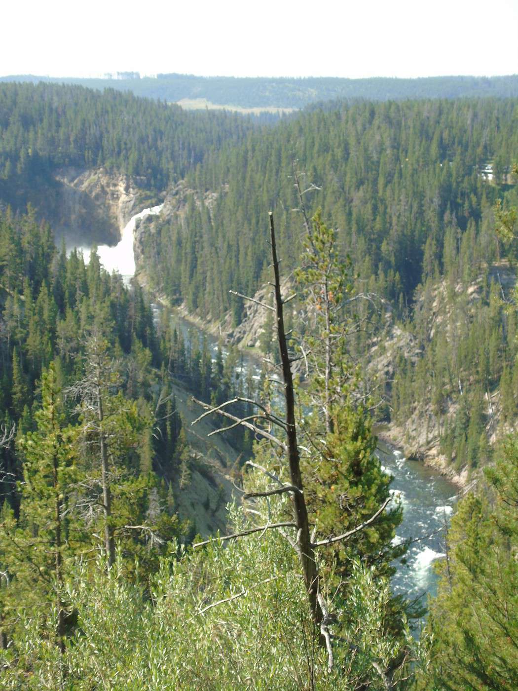
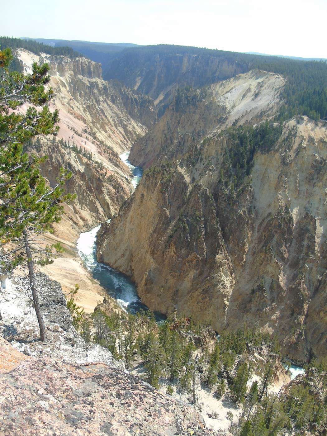
We meet up with Brink of the Lower Falls (just over 2 km for 180 meters of elevation change) via the North Rim Trail, which offers some lovely viewpoints.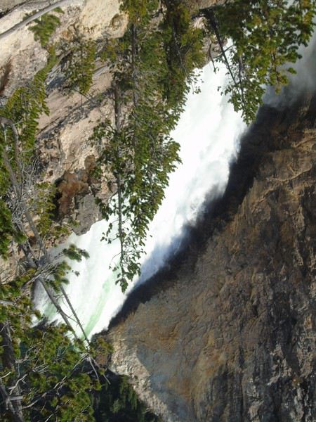 We spot Upper Falls in the distance—way more impressive from here than from Upper Falls View.
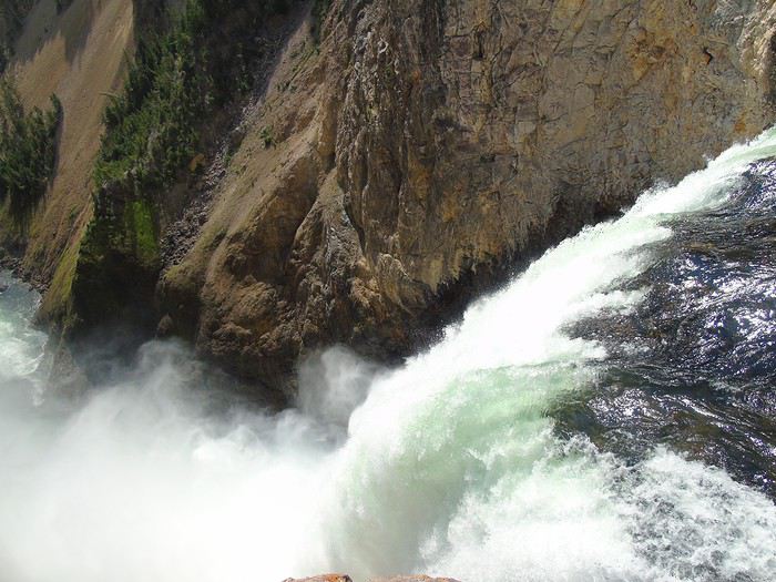
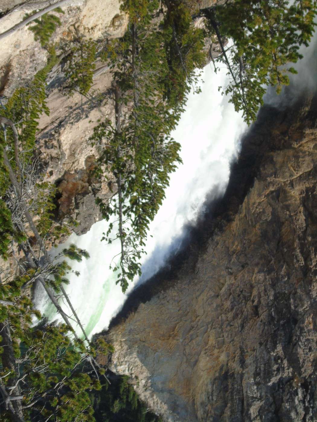
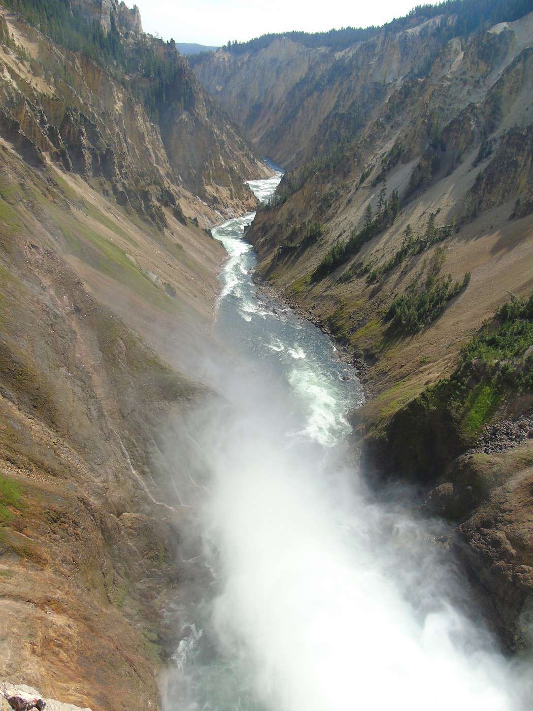
 From Brink of the Lower Falls, the return trip is also pretty steep. The view is completely different since you end up on a platform overlooking Lower Falls. Worth seeing, but I much preferred the view from Red Rock Point.
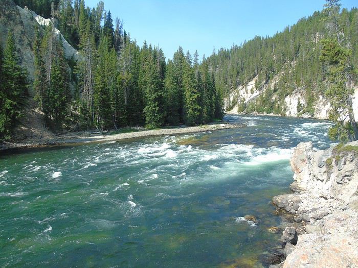
 We probably should’ve done these hikes in the opposite direction to enjoy them more. We take the North Rim Trail back to Grand View.
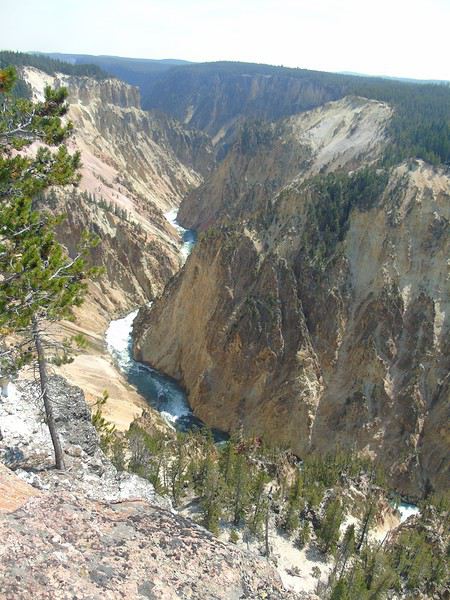 The rest of the trail is closed for construction.
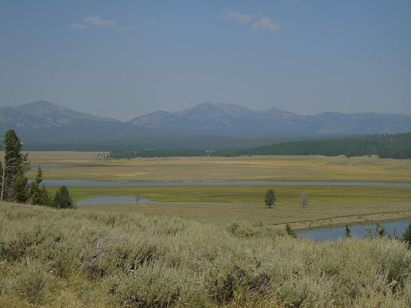
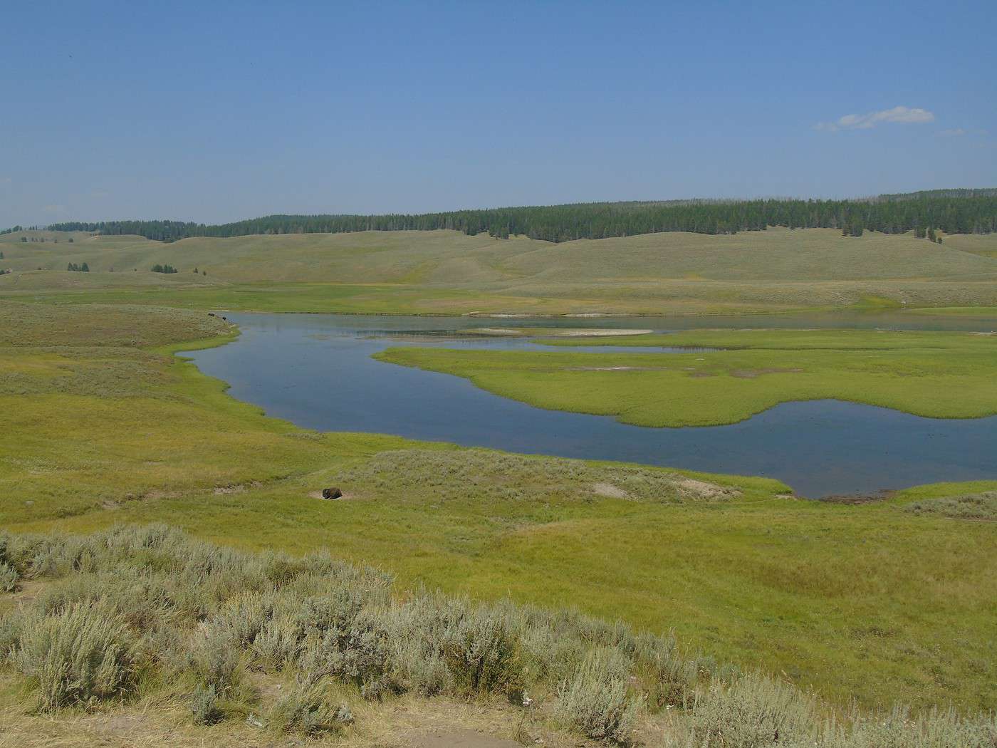
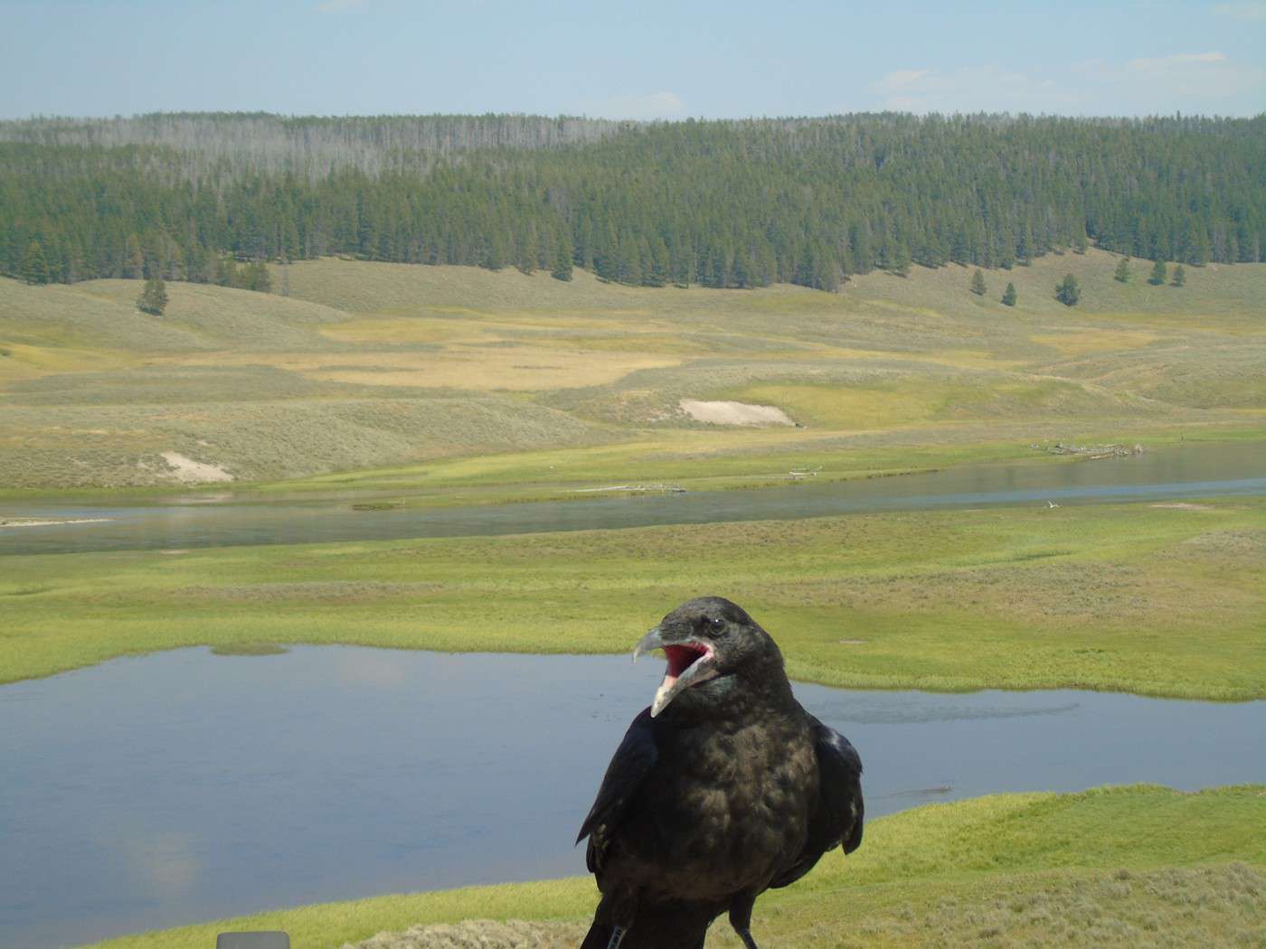
After a break at the Visitor Center, we head toward Yellowstone Lake via Hayden Valley. More stunning landscapes.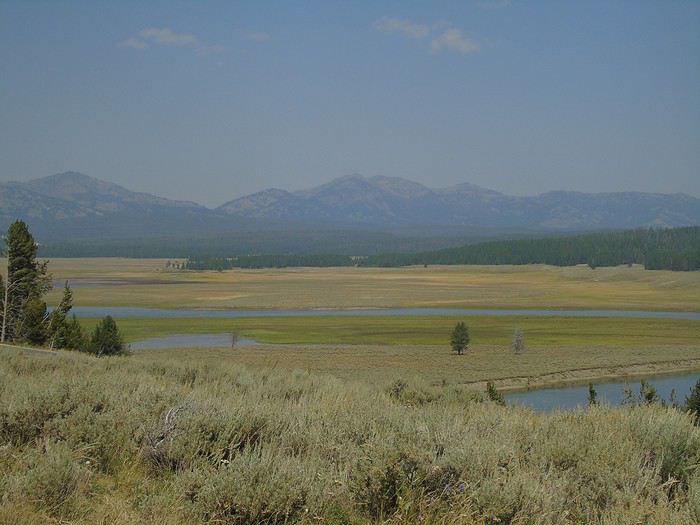
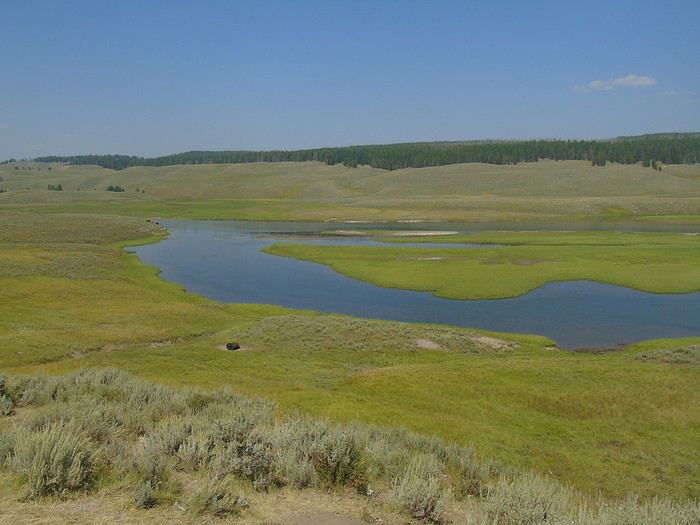
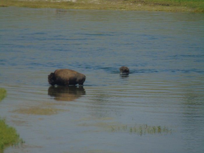
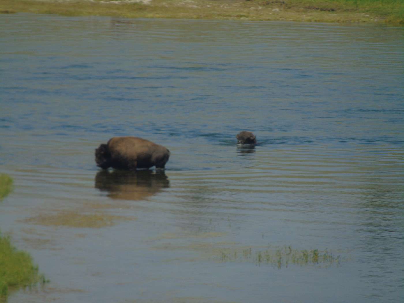
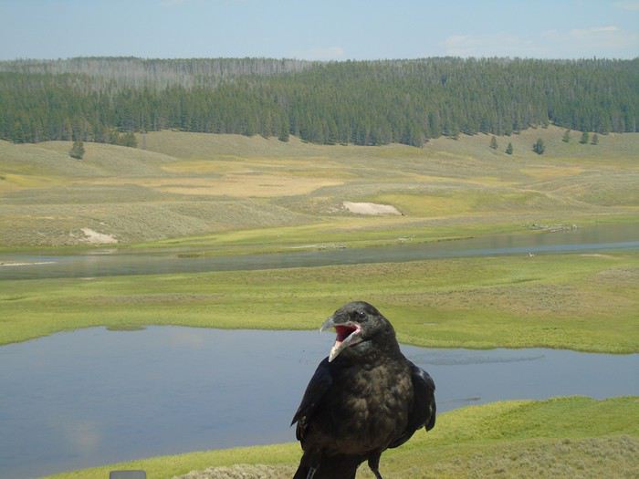 We watch two bison crossing the Yellowstone River. They swim well despite their size.
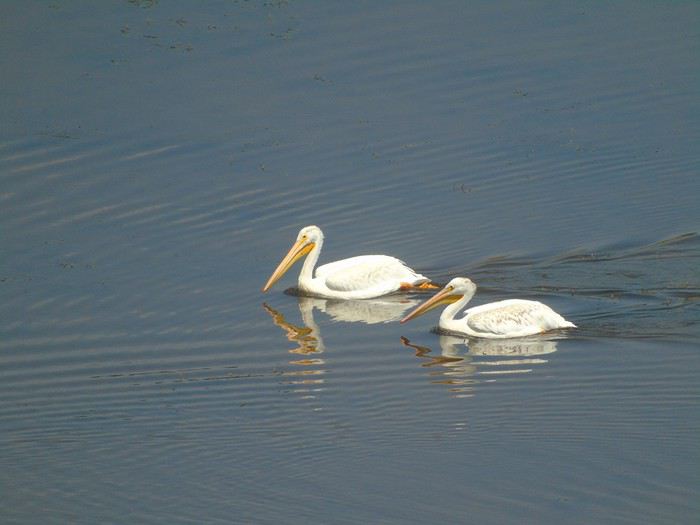
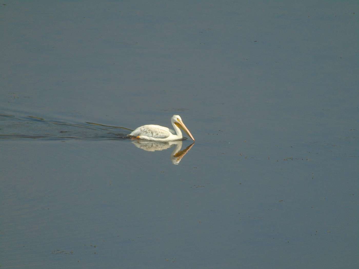
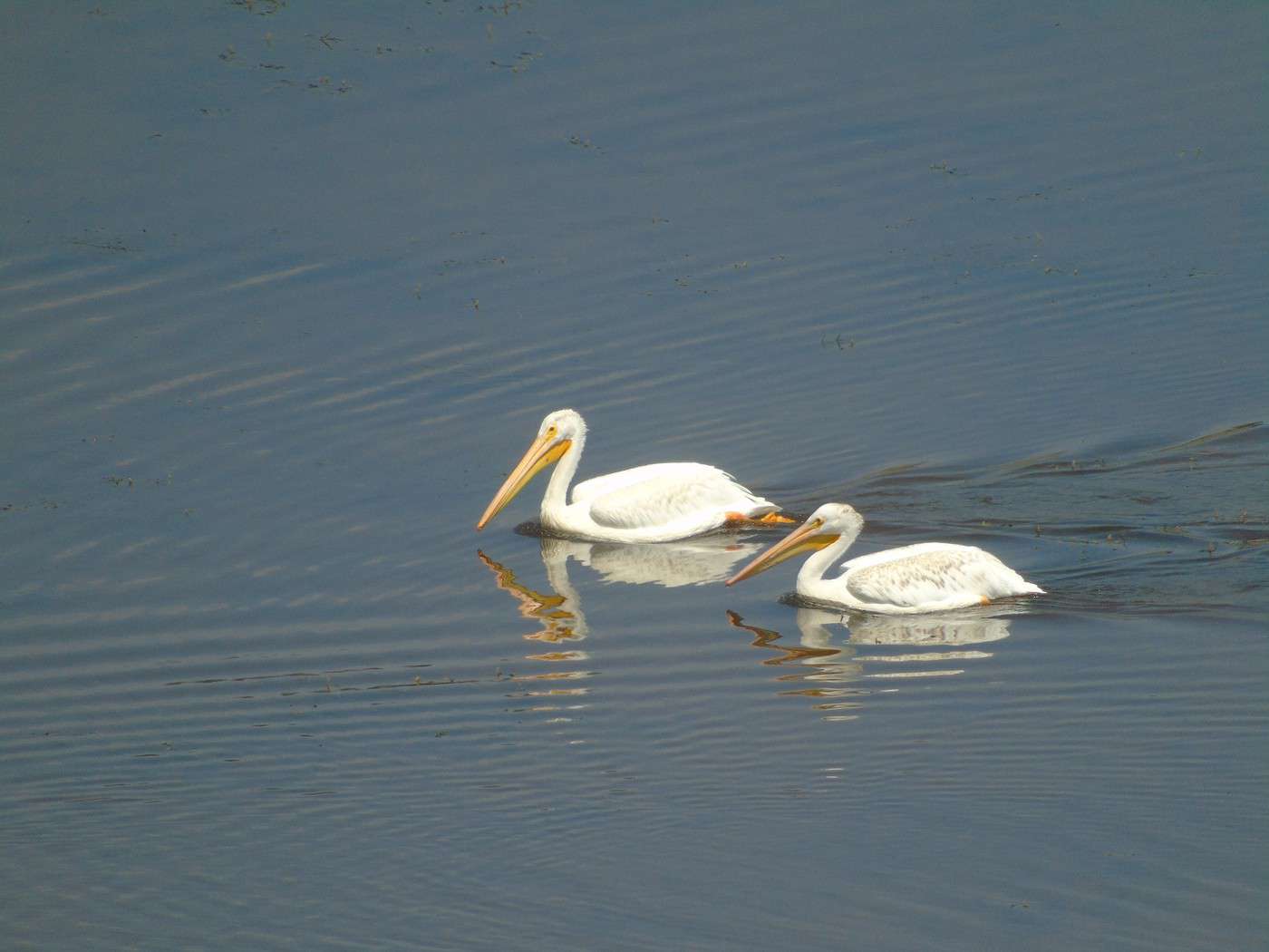
Farther on, pelicans are peacefully wading.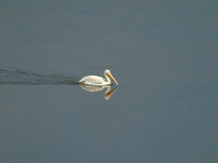
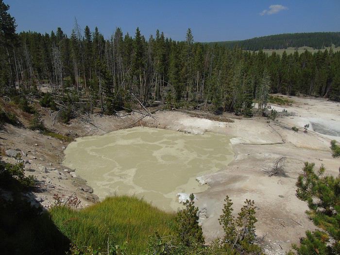
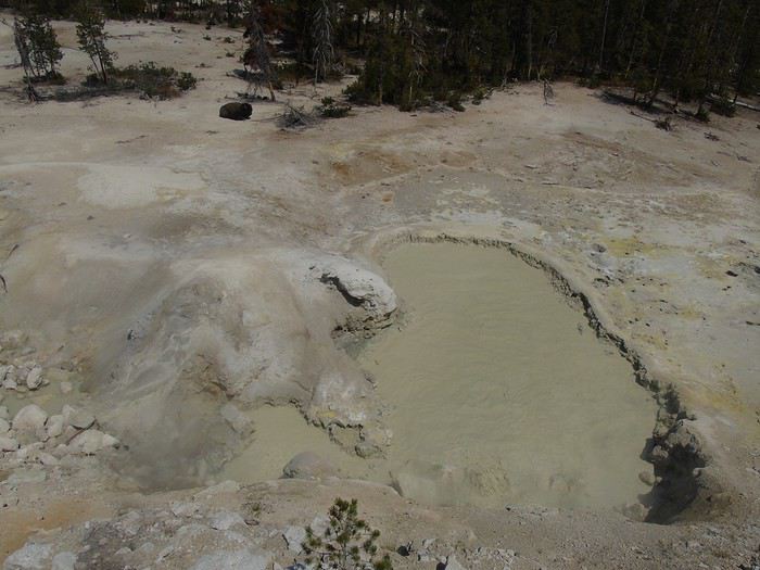
 We turn around at Sulfur Caldron, where a bison doesn’t seem bothered by the smells.
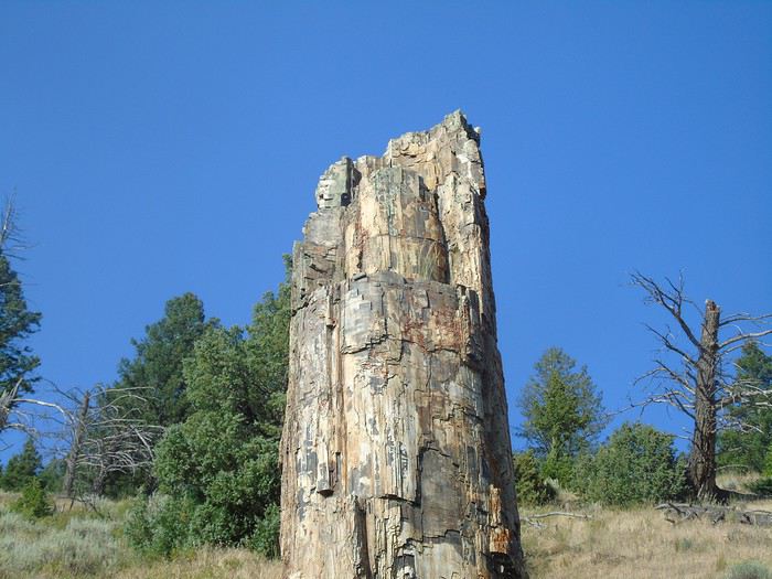
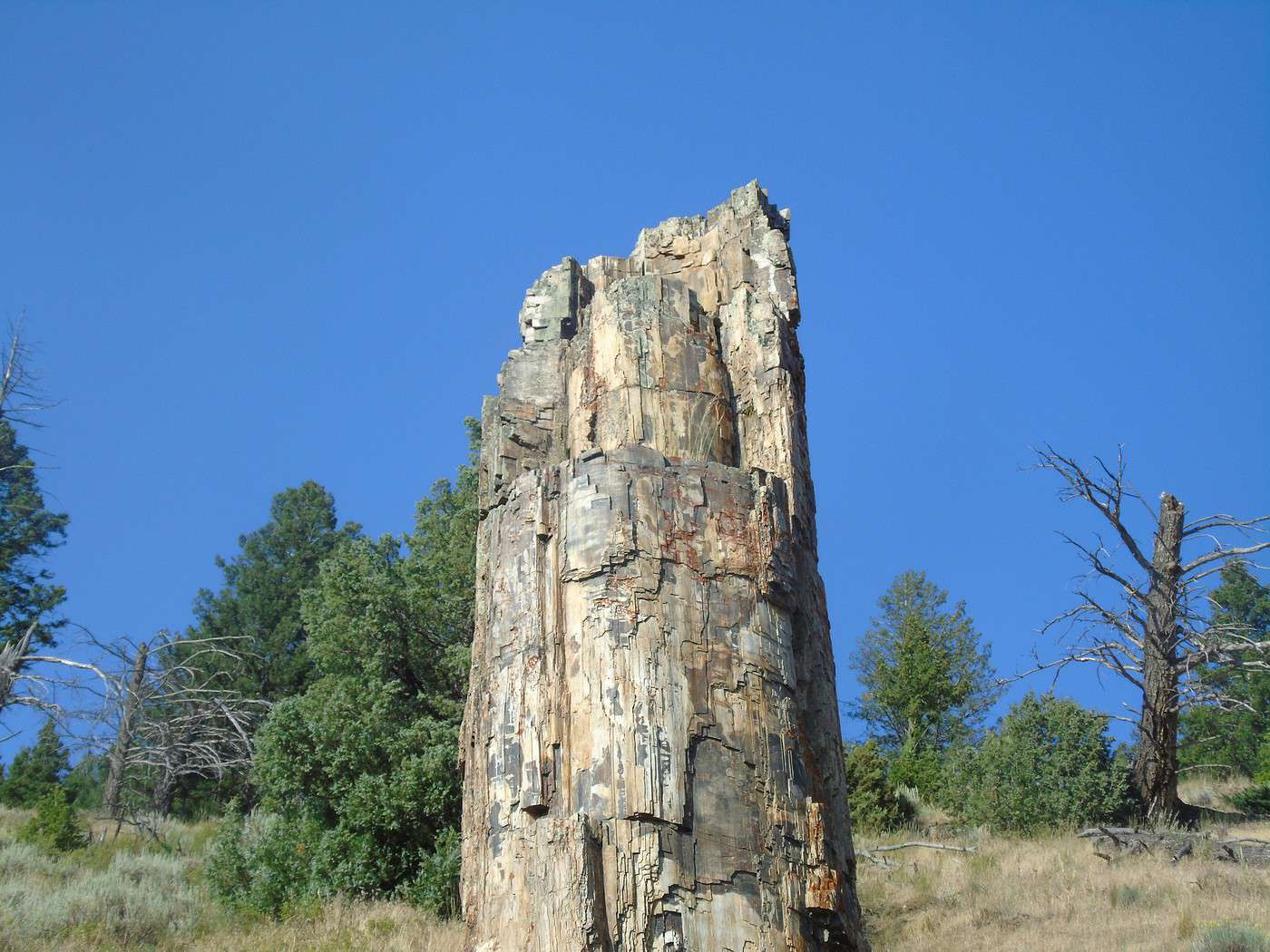
 We reach Petrified Tree via Dunraven Pass, which we never get tired of.
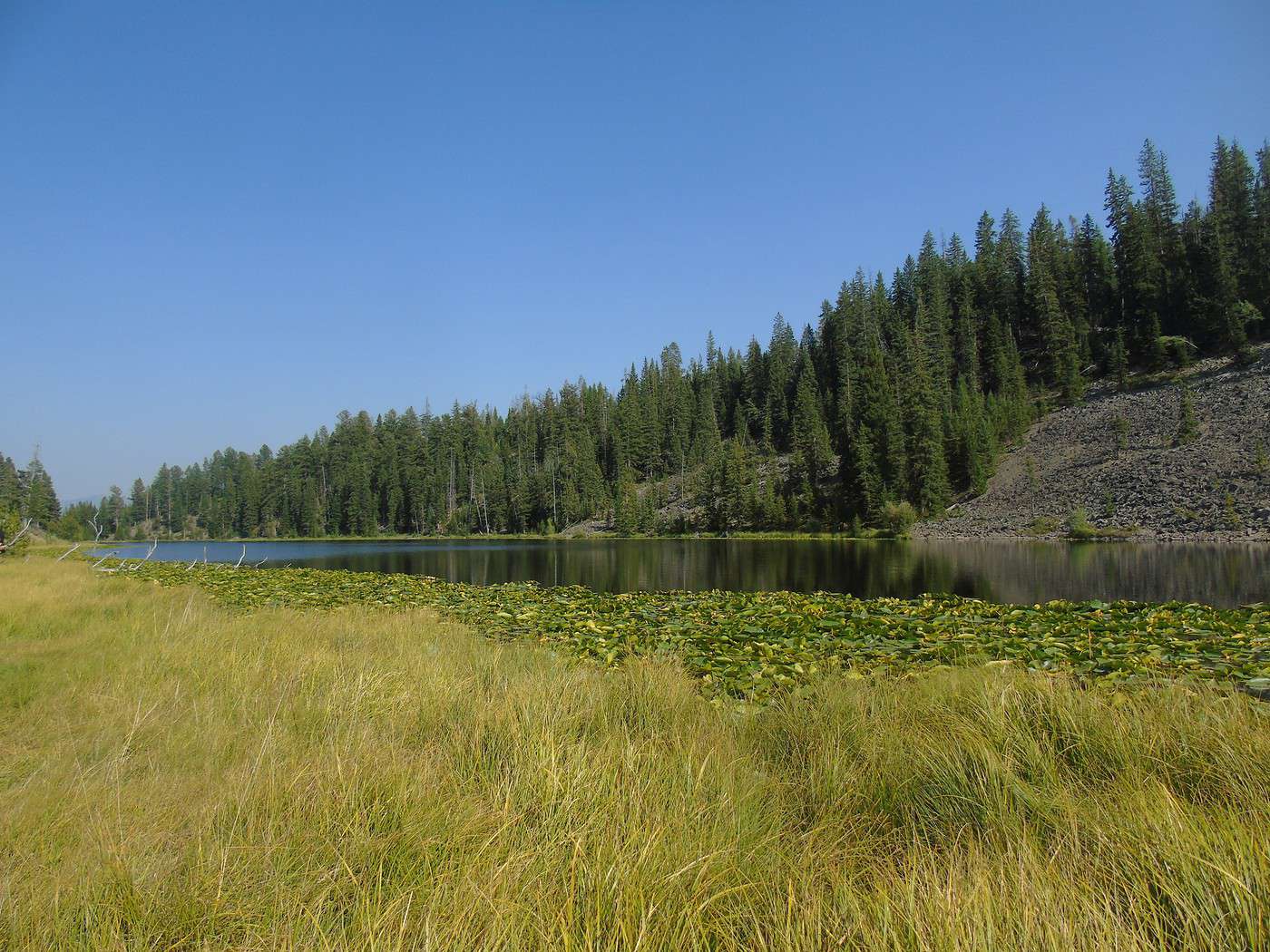
Short hike to Troot Lake (3 km round trip, easy). It’s charming, and we don’t run into anyone.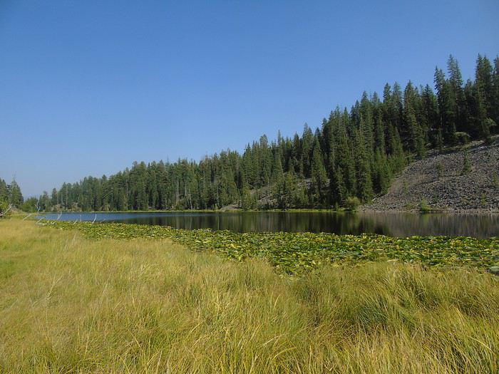 At the end of the day, we get back in the car to drive Blacktail Plateau Drive—a one-way (west/east) unpaved road open to all vehicles. This area is known for bears. On the main road, a crowd makes us stop, but the bear just left for the woods... We’re alone on this trail, scanning everywhere, but no bears in sight! Pretty disappointed, we head back to the cabin.
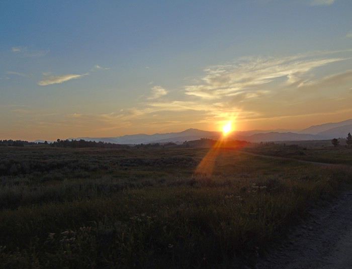 For dinner tonight, we eat at the Roosevelt Lodge Dining Room. The food is good, and the prices are very reasonable.
We head down to Red Rock Point (about 1 km, 150 m elevation change). Gorgeous—a beautiful rainbow forms at the base of the waterfall. The climb back up is pretty steep, but it’s definitely worth seeing. We meet up with Brink of the Lower Falls (just over 2 km for 180 meters of elevation change) via the North Rim Trail, which offers some lovely viewpoints.
We spot Upper Falls in the distance—way more impressive from here than from Upper Falls View.
From Brink of the Lower Falls, the return trip is also pretty steep. The view is completely different since you end up on a platform overlooking Lower Falls. Worth seeing, but I much preferred the view from Red Rock Point.
We probably should’ve done these hikes in the opposite direction to enjoy them more. We take the North Rim Trail back to Grand View.
The rest of the trail is closed for construction.After a break at the Visitor Center, we head toward Yellowstone Lake via Hayden Valley. More stunning landscapes.
We watch two bison crossing the Yellowstone River. They swim well despite their size.
Farther on, pelicans are peacefully wading.
We turn around at Sulfur Caldron, where a bison doesn’t seem bothered by the smells.
We reach Petrified Tree via Dunraven Pass, which we never get tired of.
Short hike to Troot Lake (3 km round trip, easy). It’s charming, and we don’t run into anyone.
At the end of the day, we get back in the car to drive Blacktail Plateau Drive—a one-way (west/east) unpaved road open to all vehicles. This area is known for bears. On the main road, a crowd makes us stop, but the bear just left for the woods... We’re alone on this trail, scanning everywhere, but no bears in sight! Pretty disappointed, we head back to the cabin.
For dinner tonight, we eat at the Roosevelt Lodge Dining Room. The food is good, and the prices are very reasonable.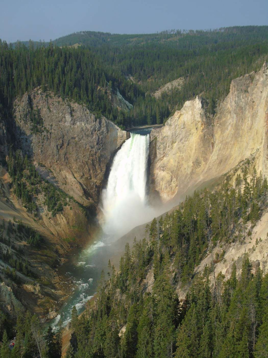
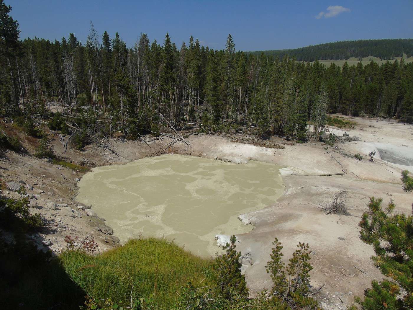
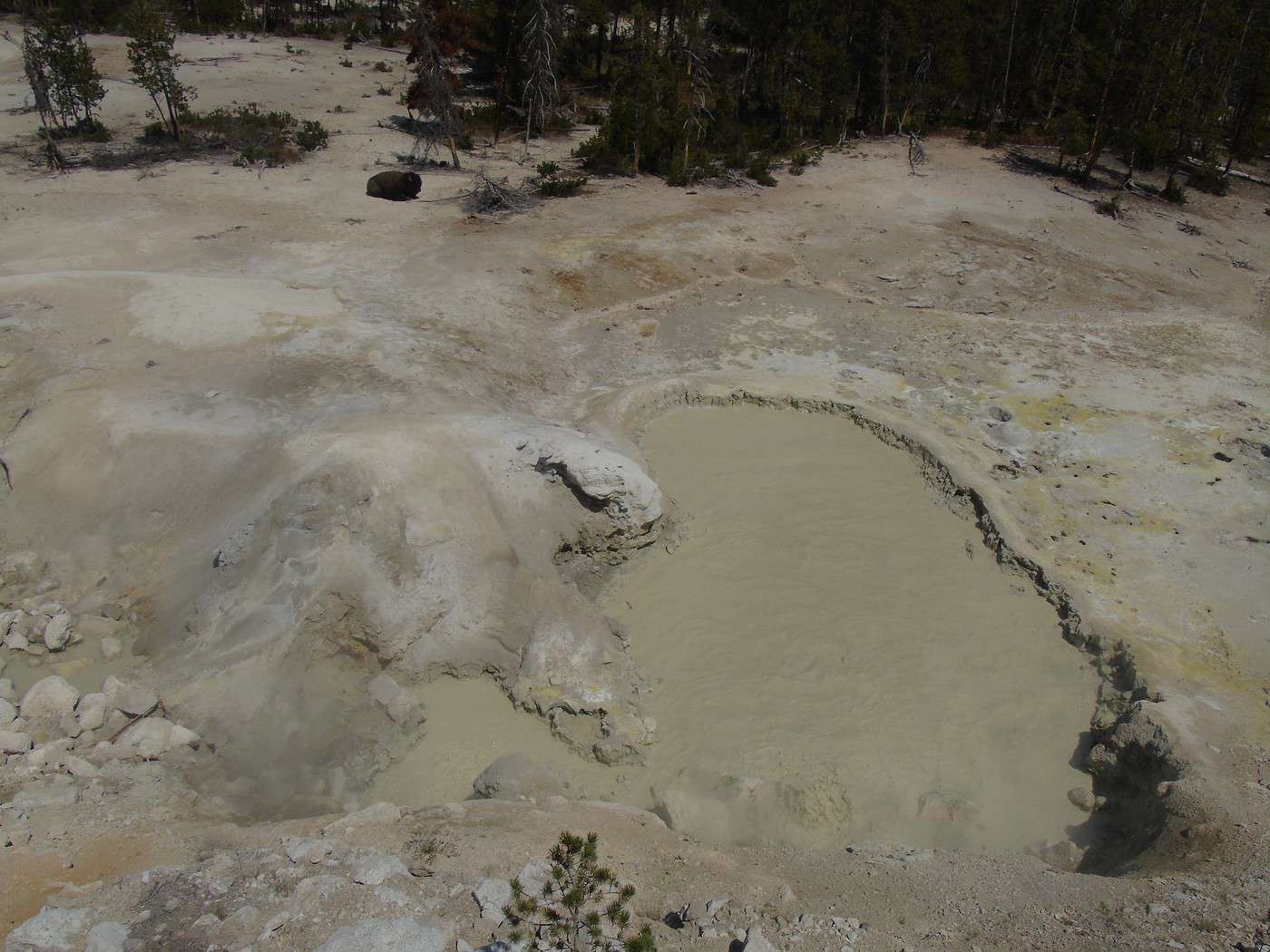

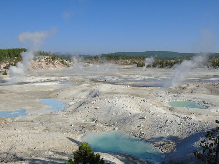
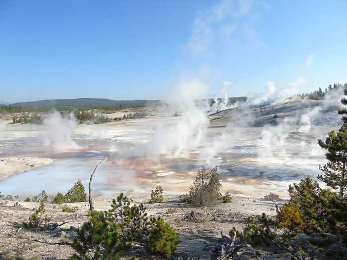
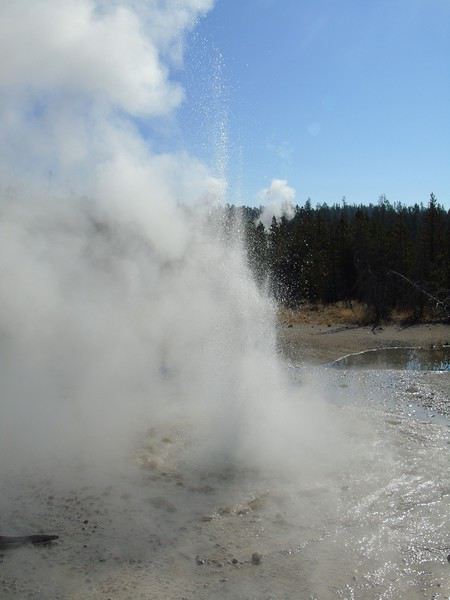
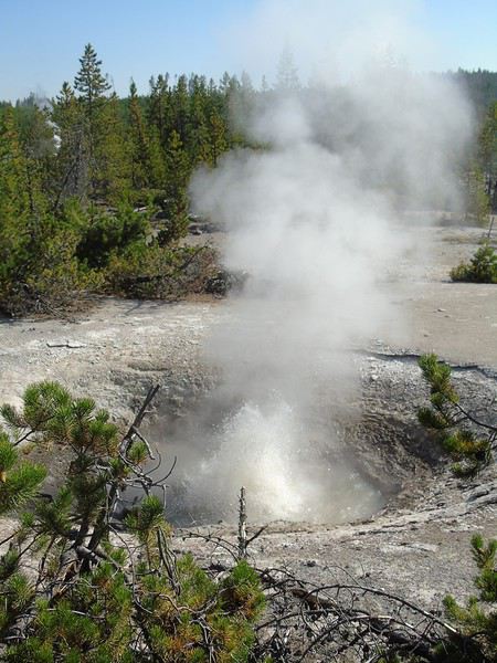
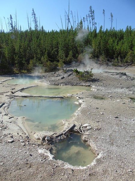
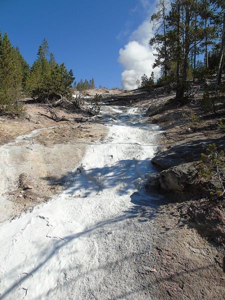
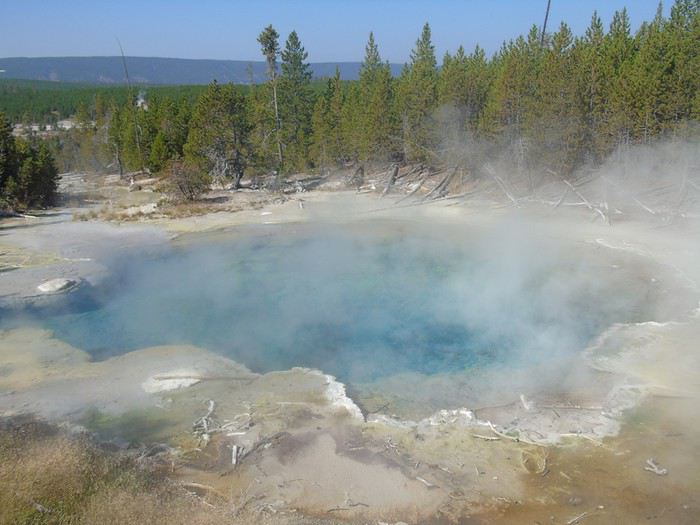
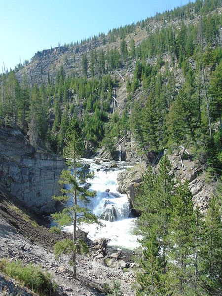
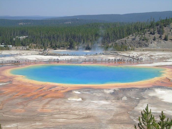
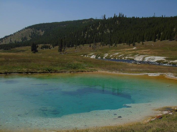
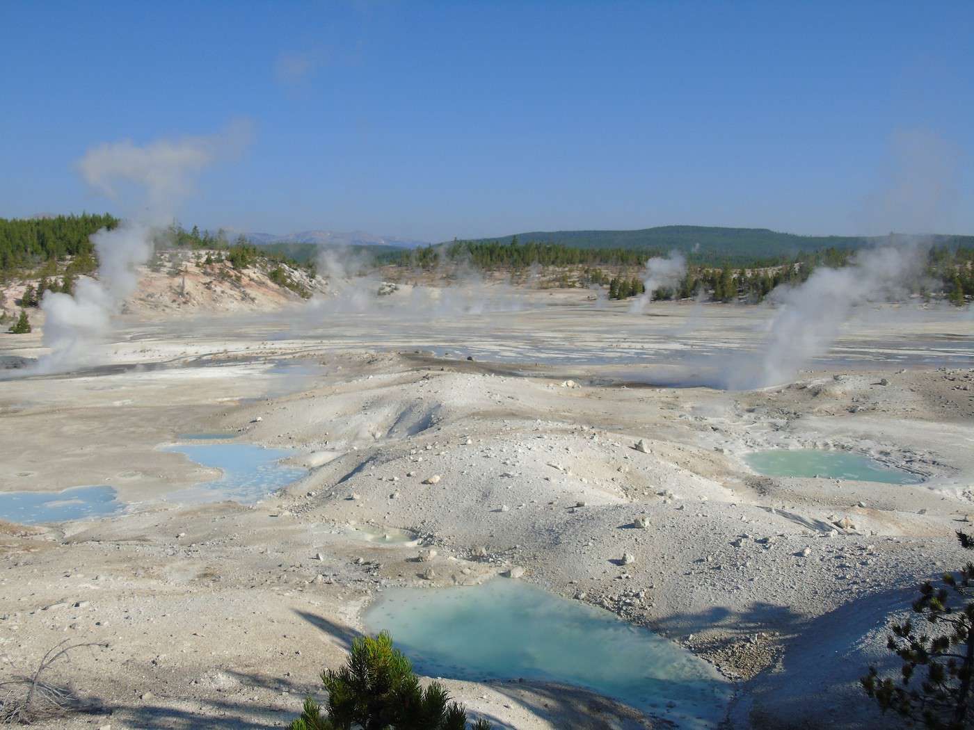
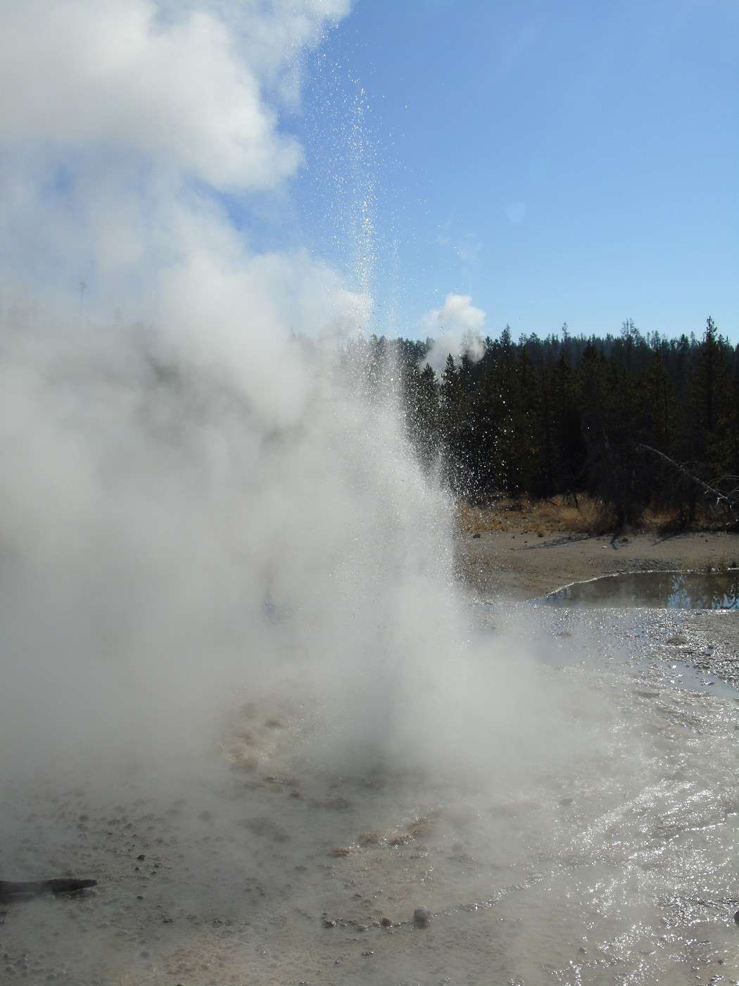
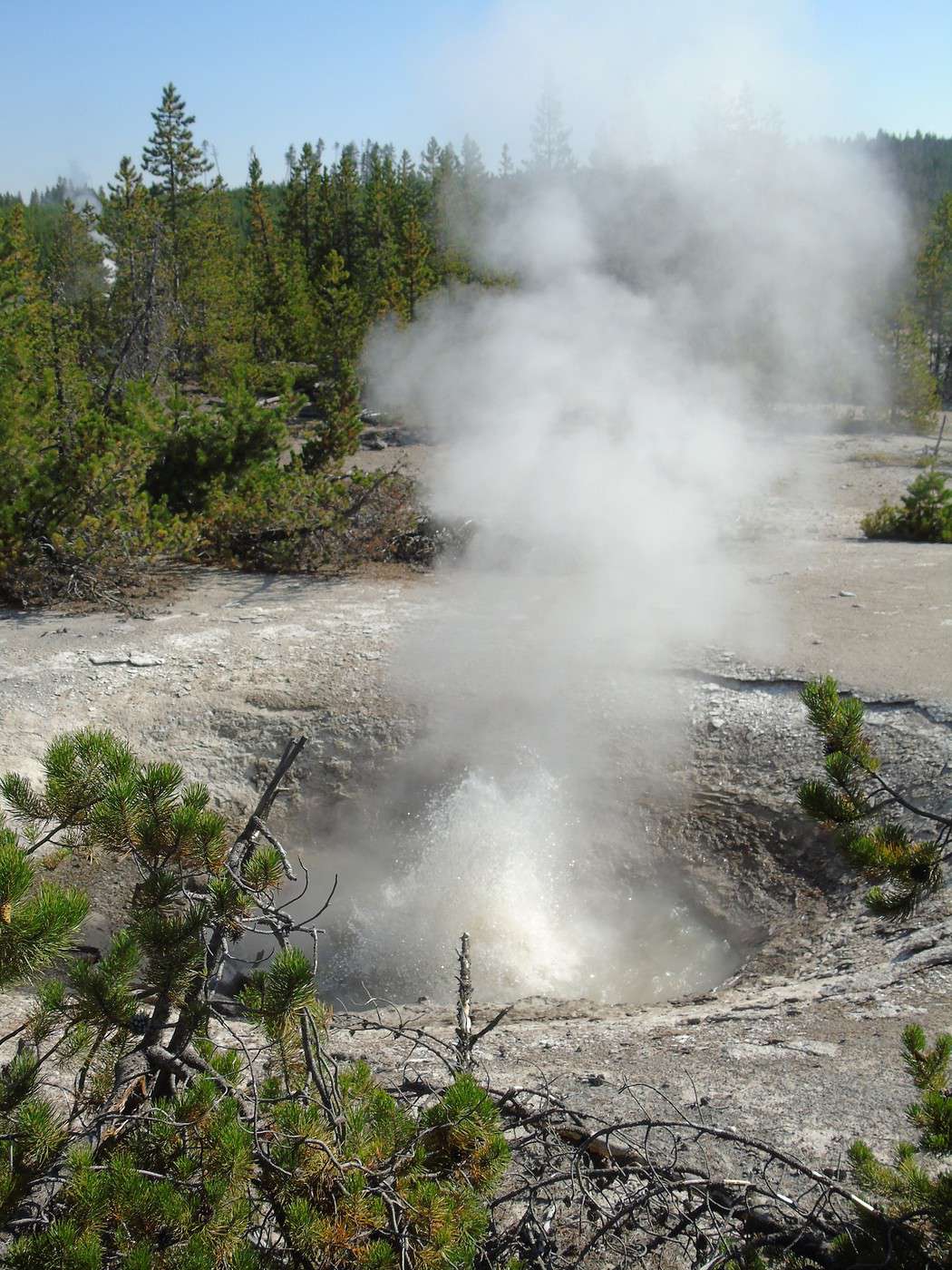
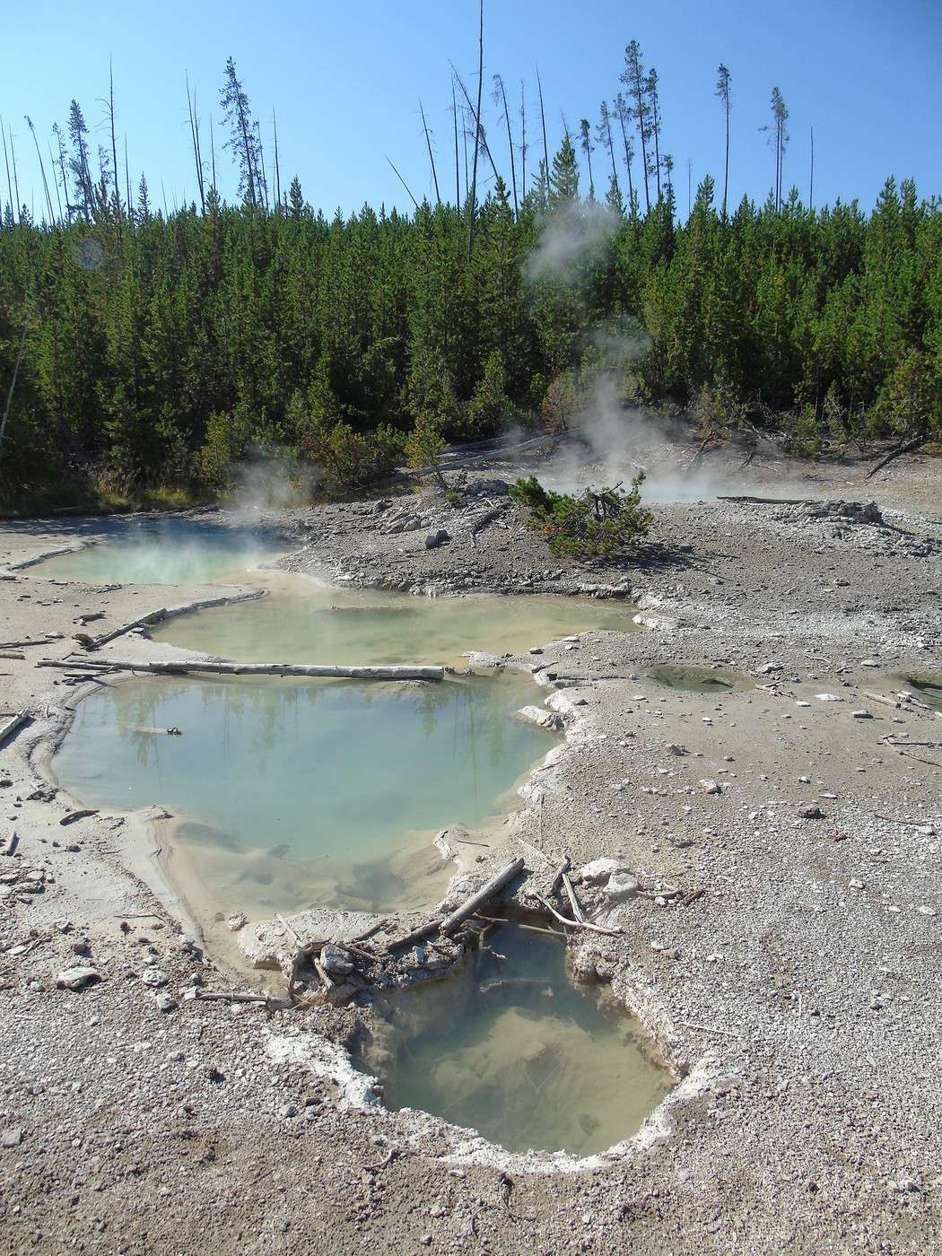
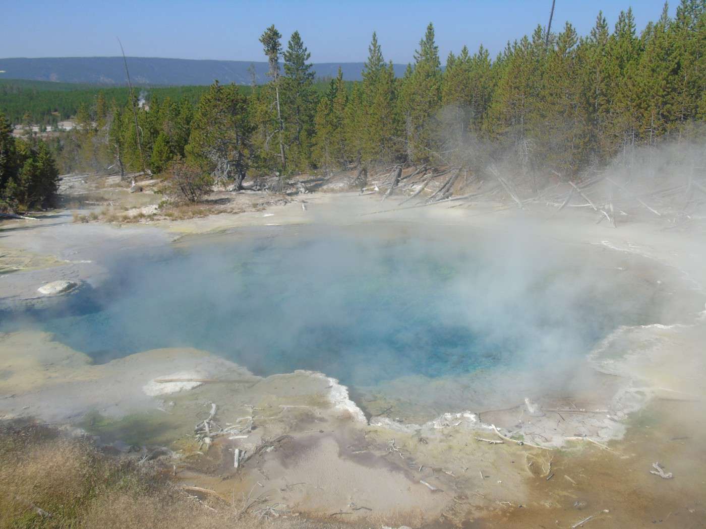
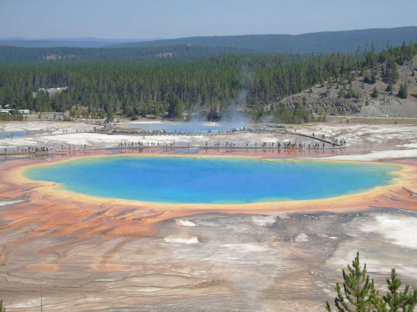
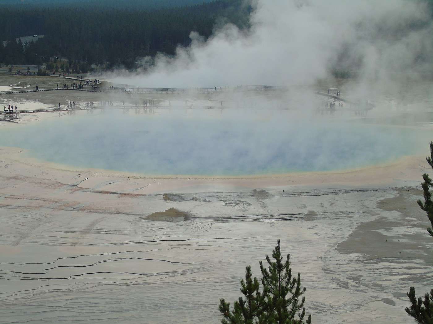
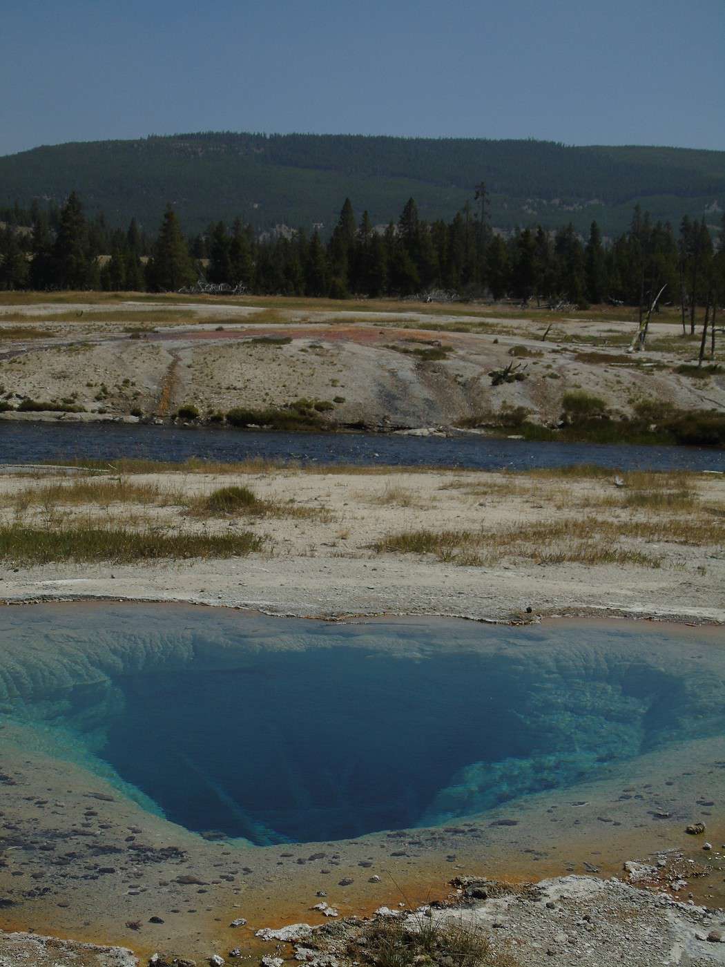
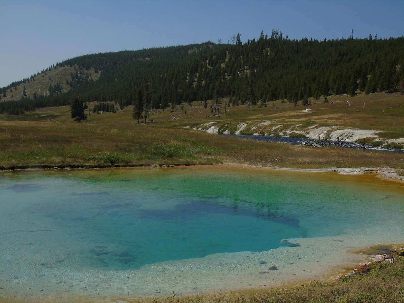
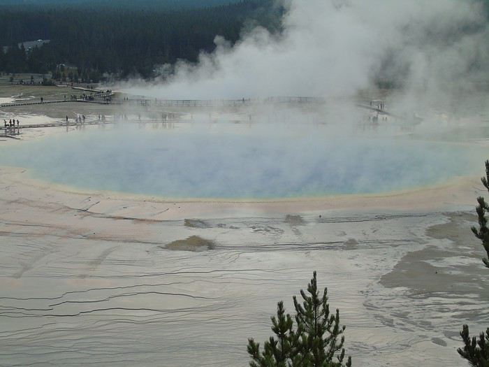 The pools along the trail were also beautiful.
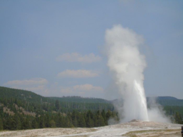
 We couldn’t resist one last stop at Old Faithful to admire the geyser again. The kids picked up their Junior Ranger badges, and then we hit the road toward Grand Teton.
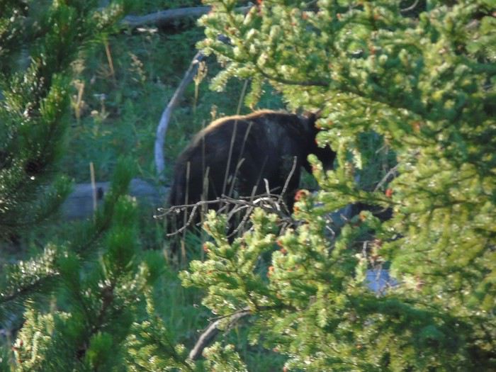
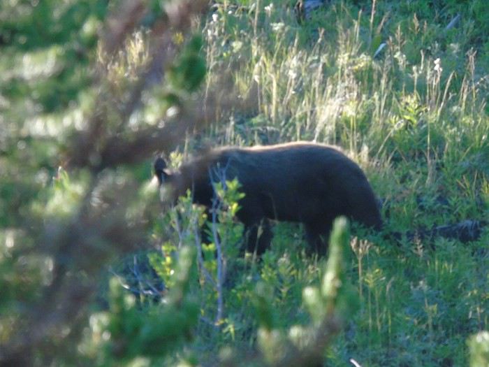
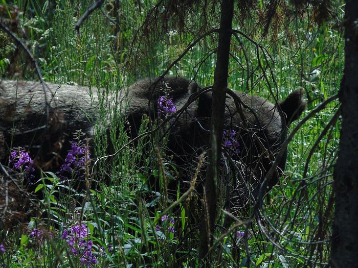
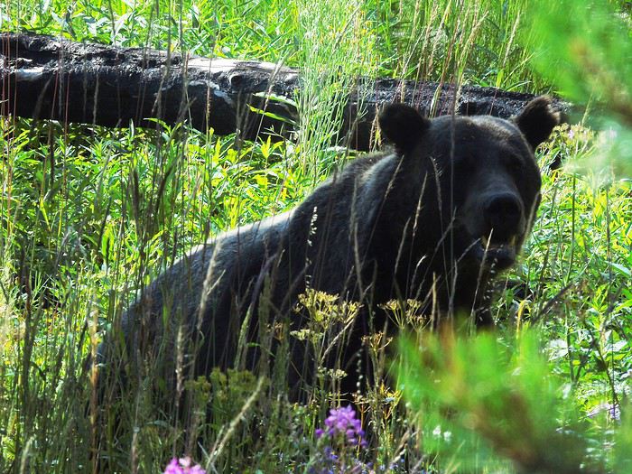
 At the border of the two parks, a grizzly was strolling calmly just a few meters from the road. Amazing. It even looked at us for the photo. We were really spoiled. Turns out, we saw more wildlife without even looking for it than by going to the "famous" spots!
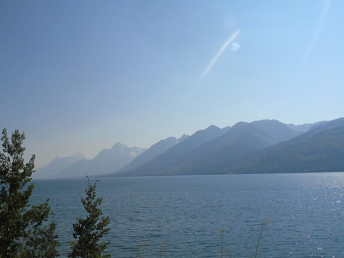 We checked into our "tent cabin" for the night. Cheap for the location (90 €), but honestly, not great.
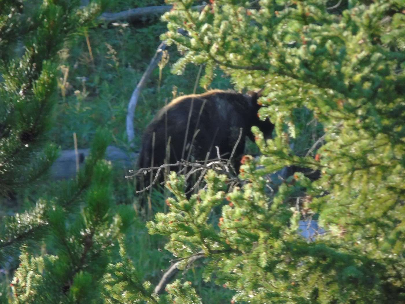
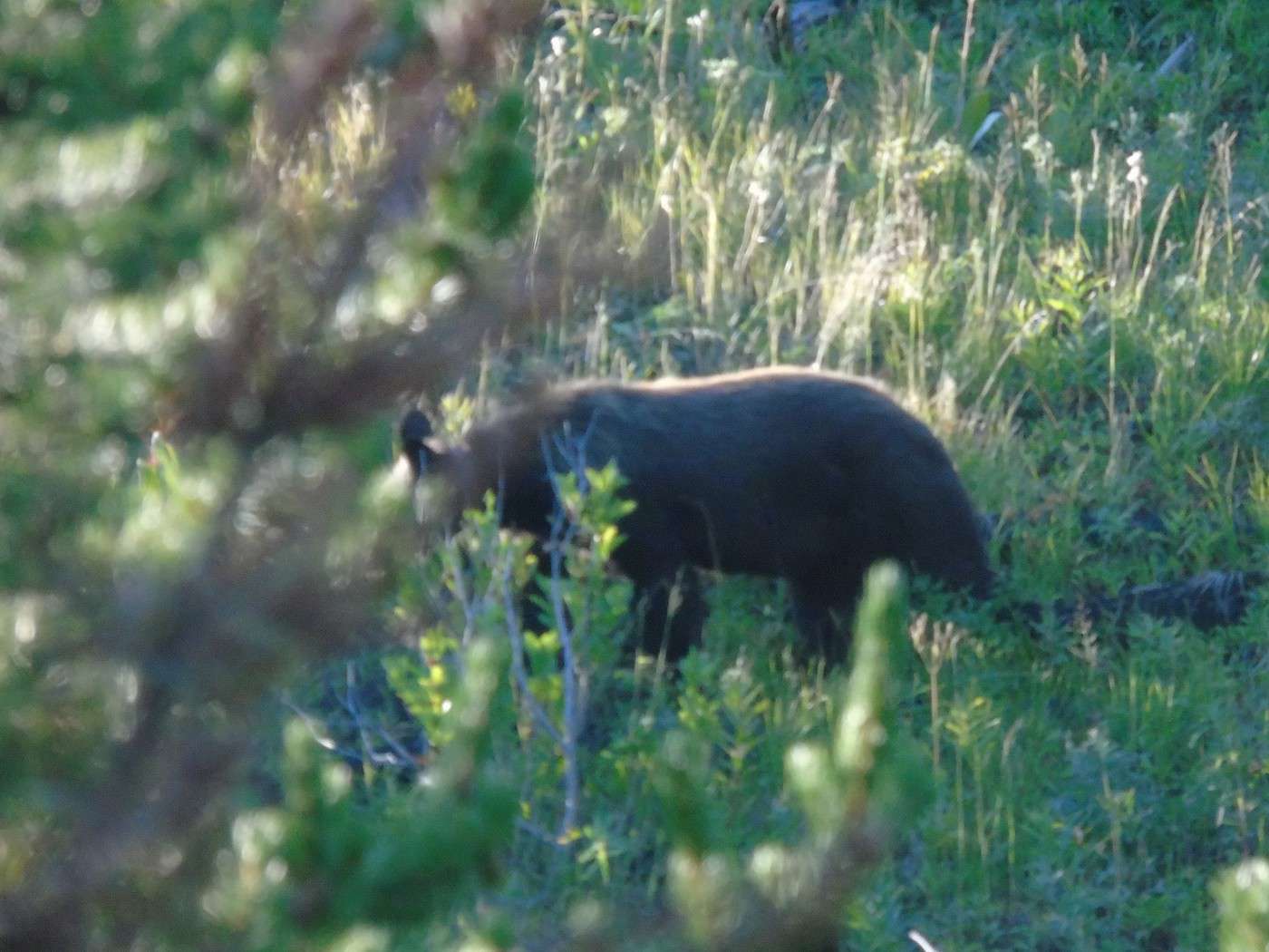
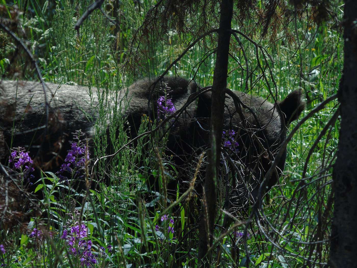
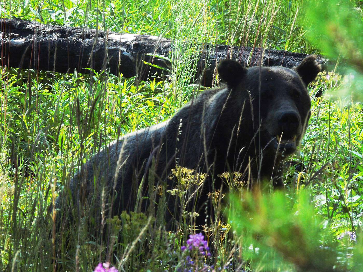
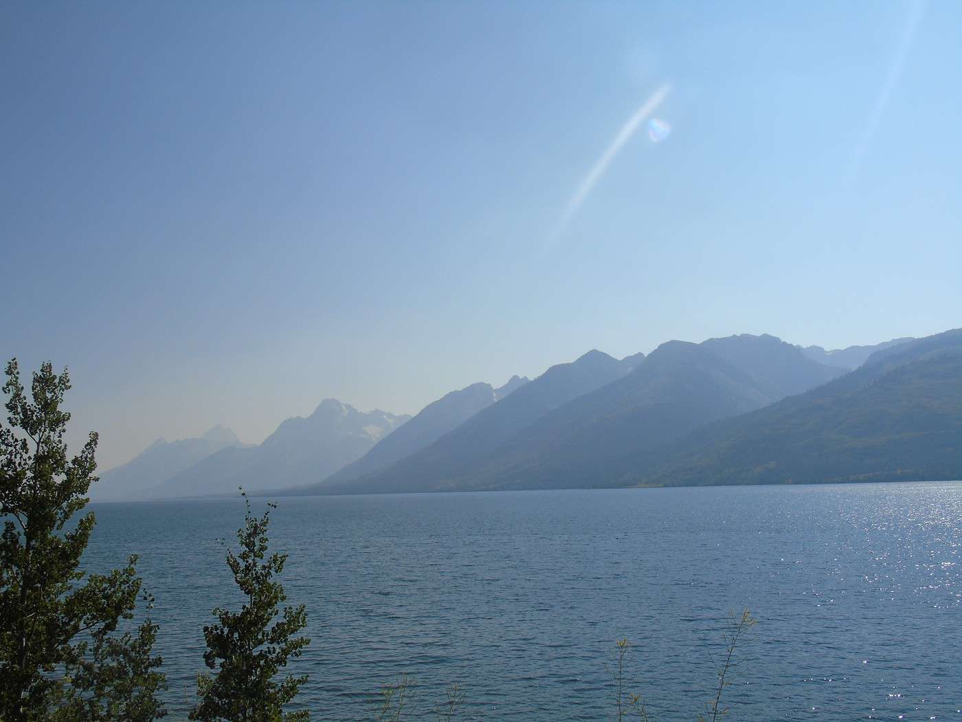
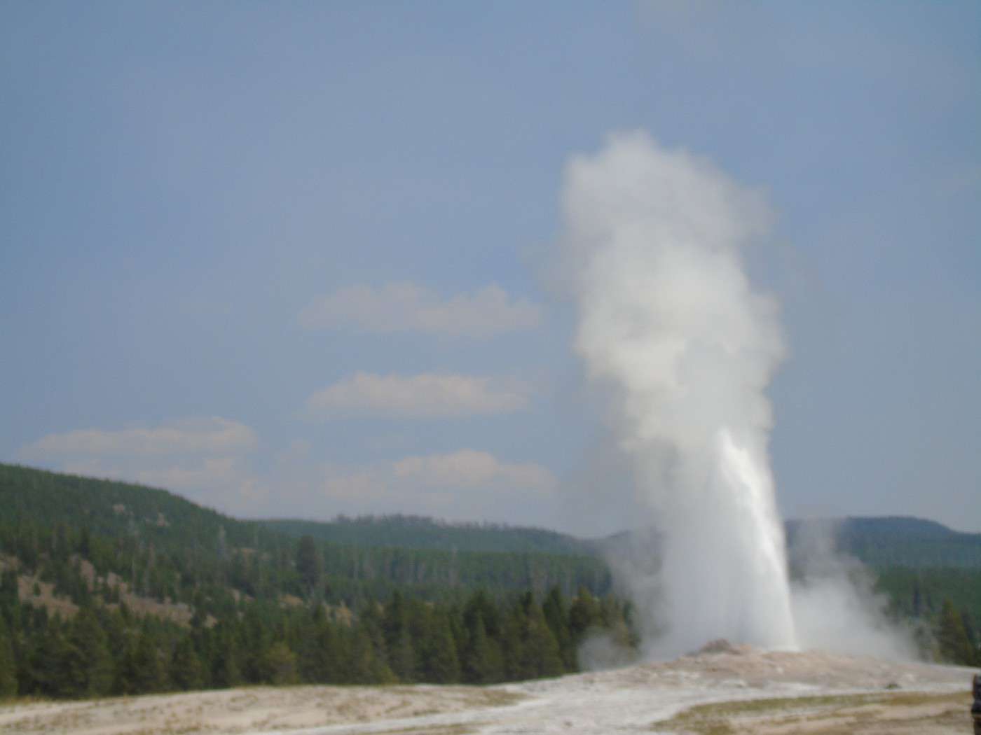
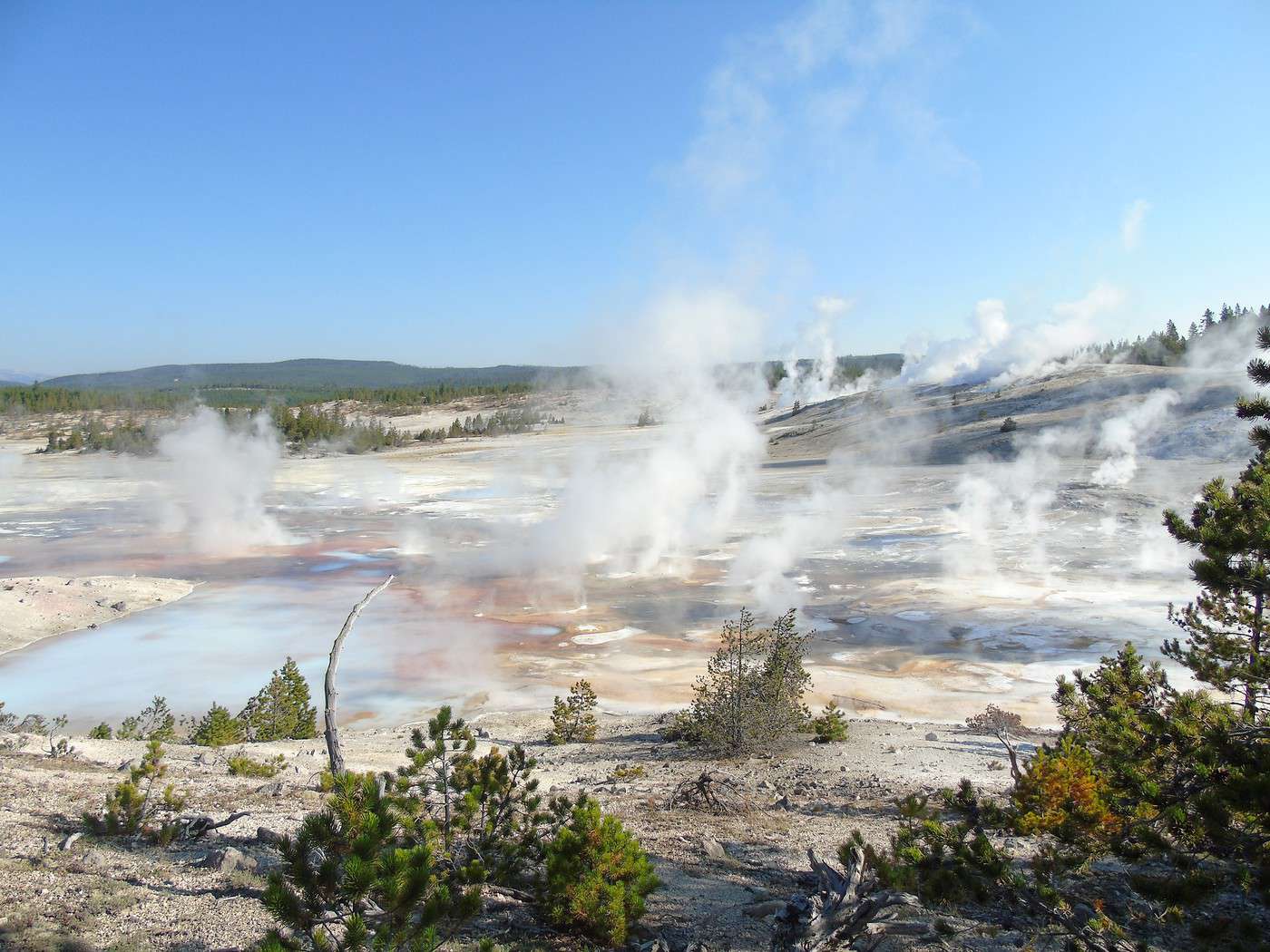
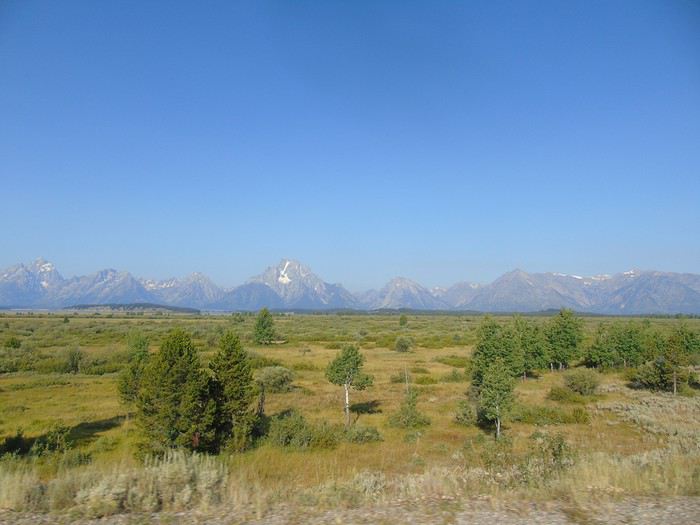 A ranger, stationed at the bottom, warns us about bears and reminds us of safety rules. Halfway up, a car is stopped in the opposite direction to watch a bear. There’s no one behind us, so we make a quick stop. The ranger’s car pulls up behind us, and we drive off. Missed photos, no big deal—the day’s off to a great start!
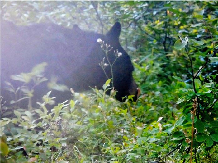
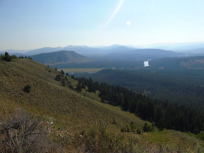
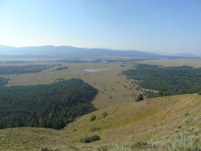
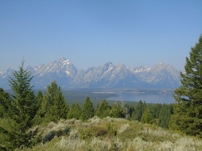 On the way down, we don’t run into the bear again (too bad), but we do see the ranger talking into his walkie-talkie while gesturing—two cars are parked on the side of the road with no one inside.
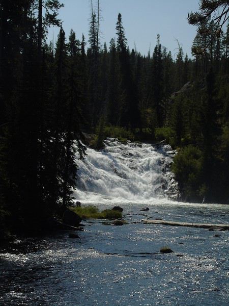
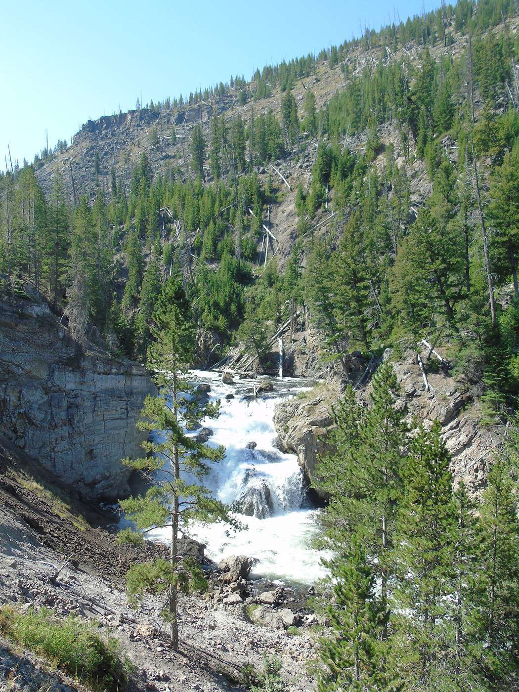
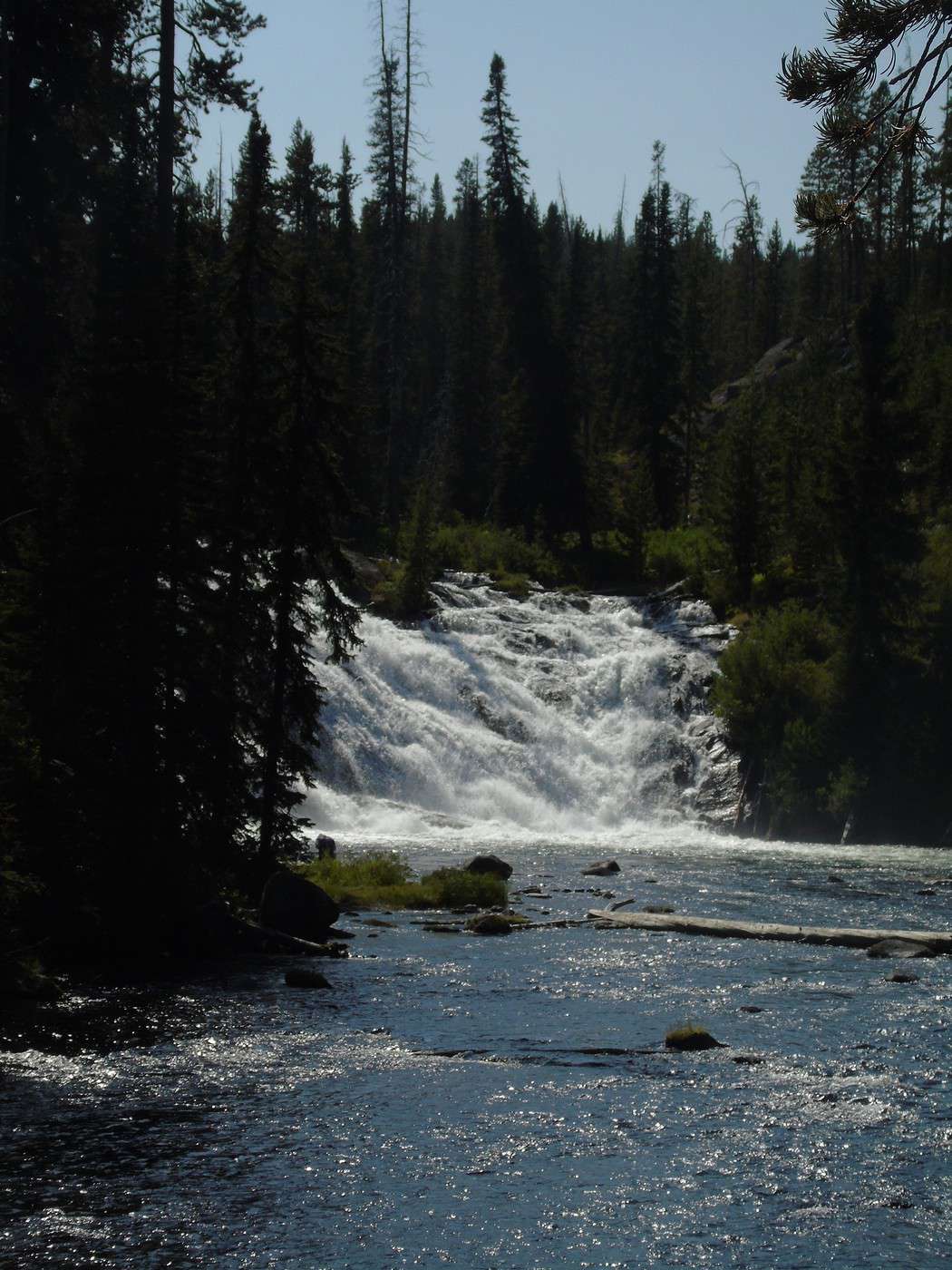
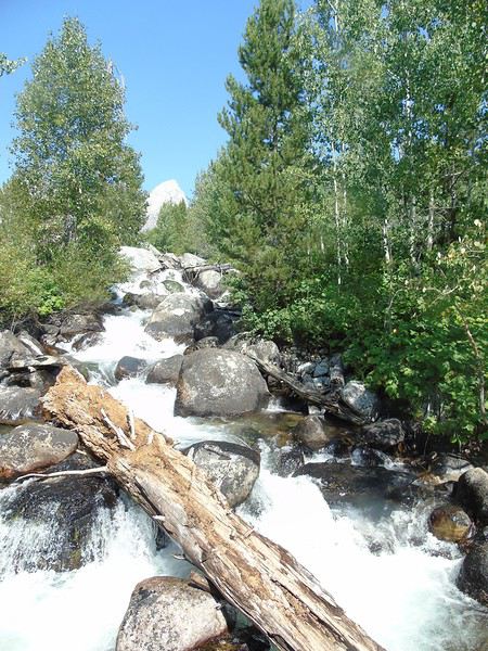
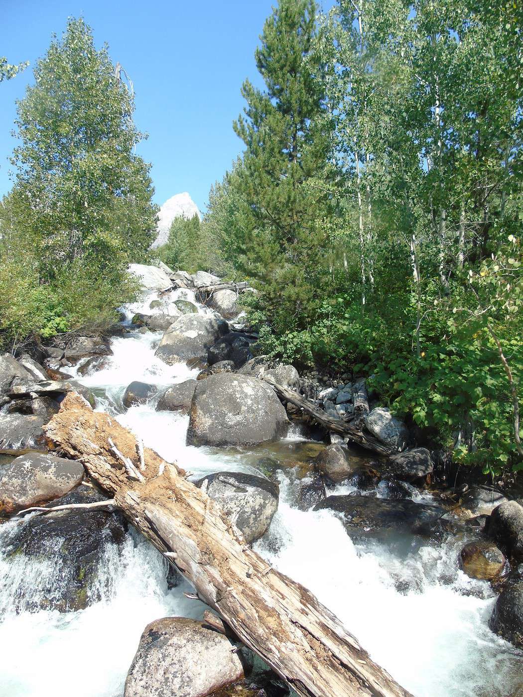
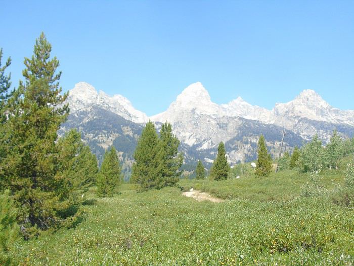 Not long after setting off, we hear a waterfall in the distance.
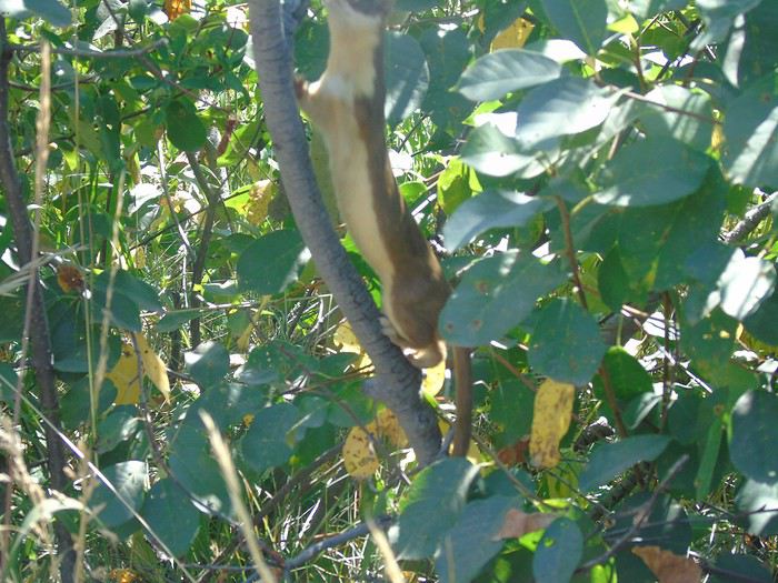
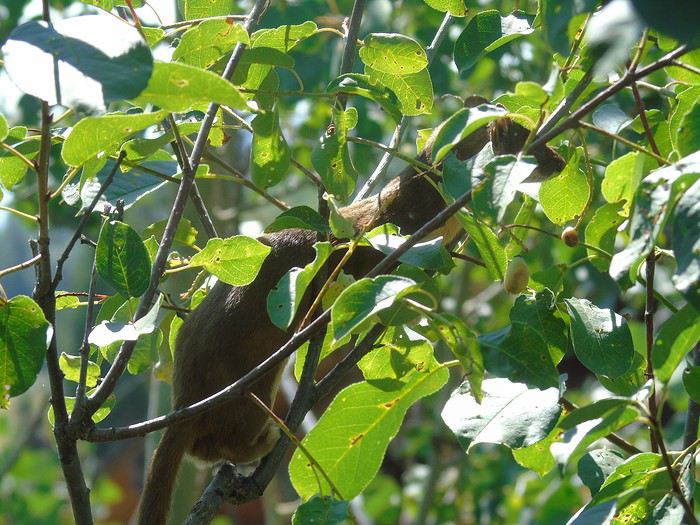
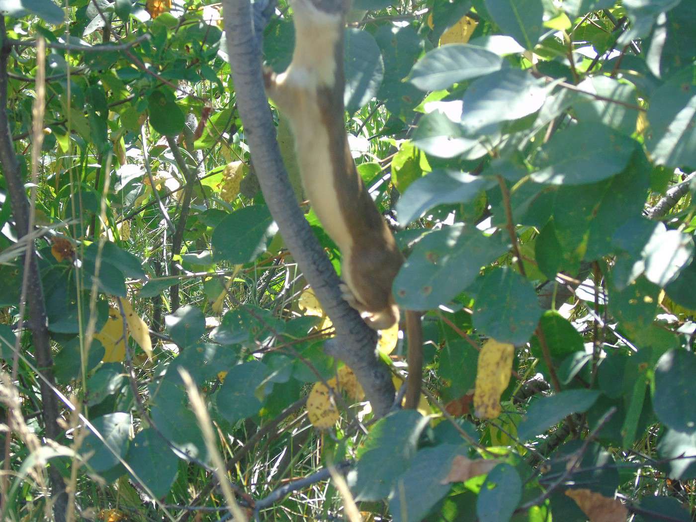
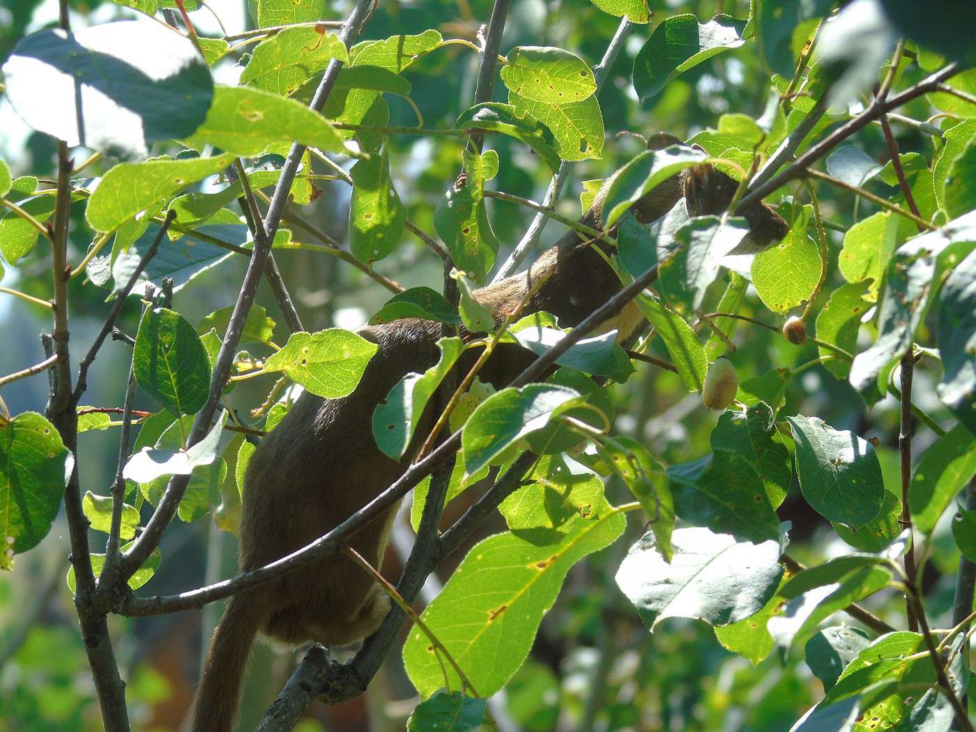
 Then a weasel plays in the foliage.
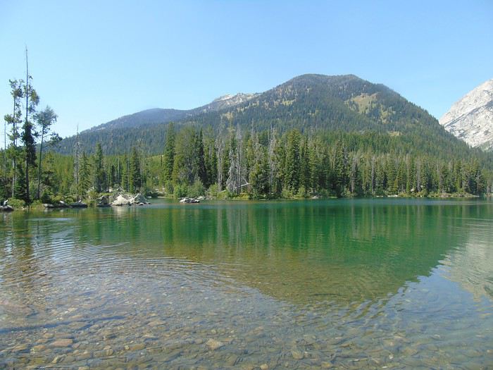
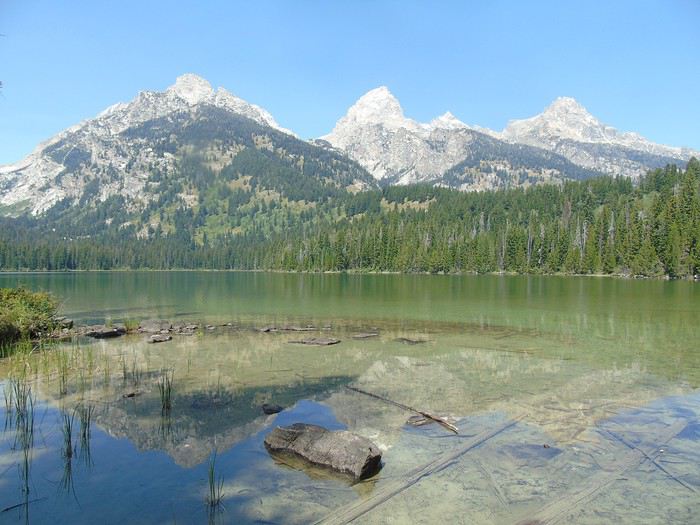
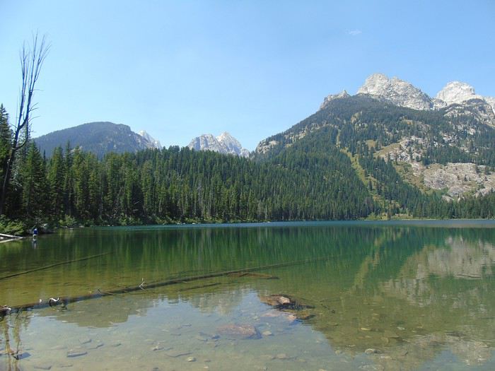
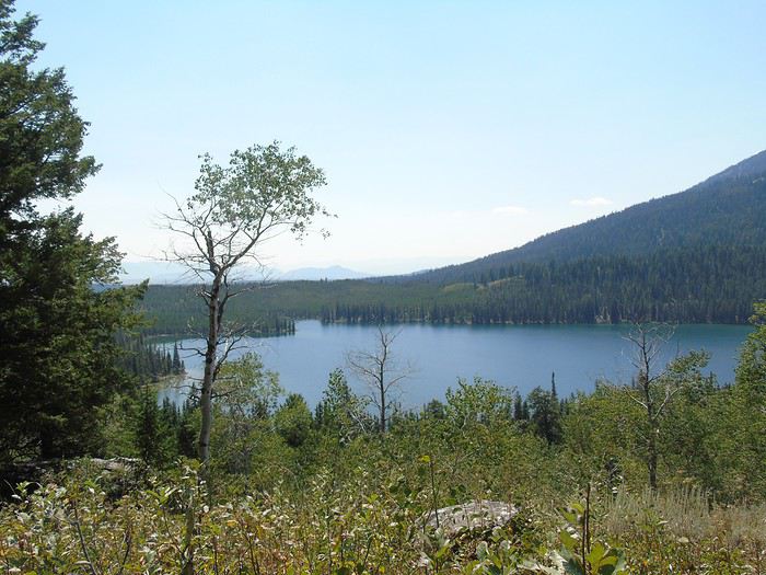
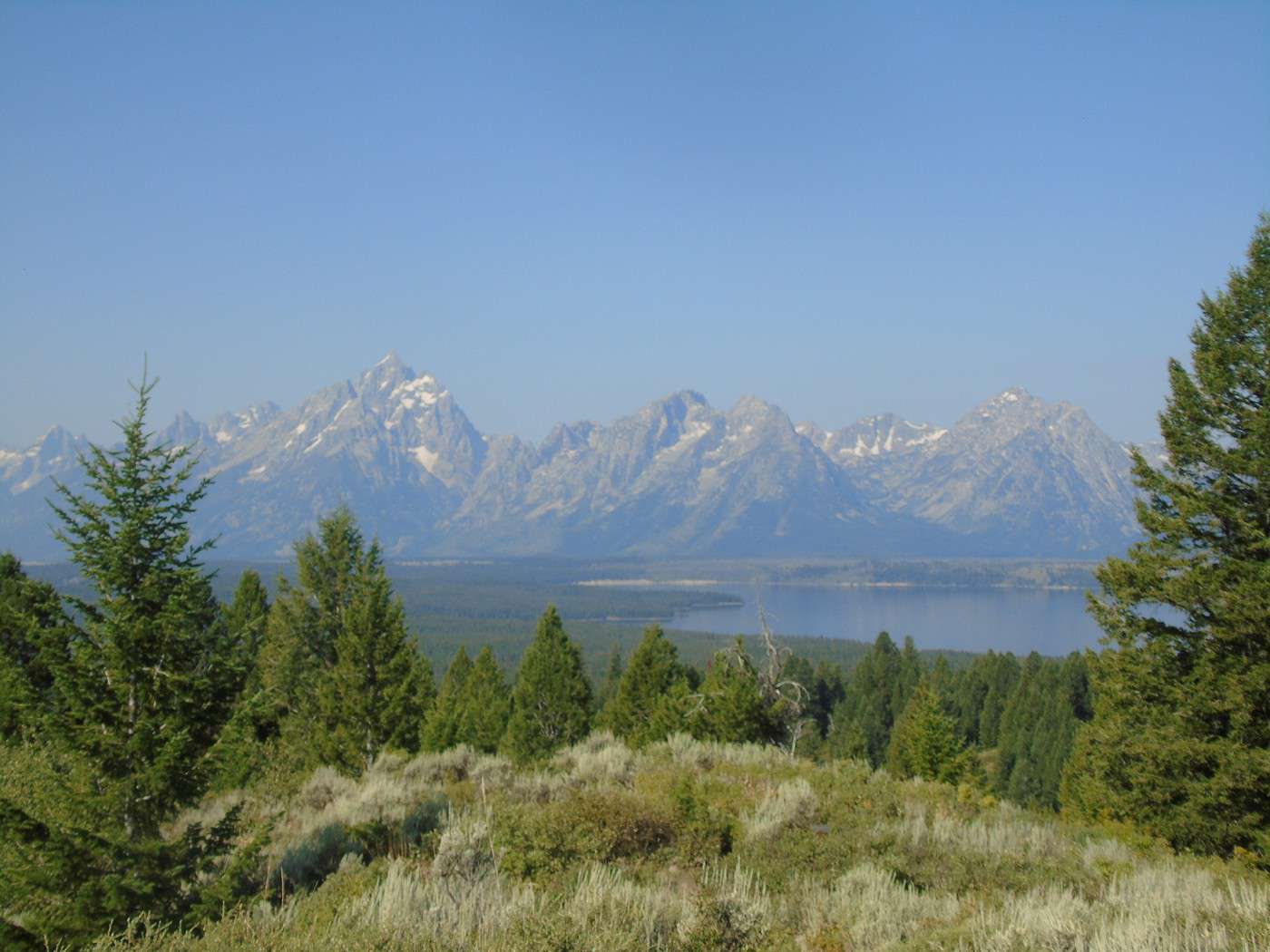
 We found this hike, rated as moderate, pretty tiring—there’s quite a bit of climbing. It was the toughest hike we did. But it’s worth it—these two lakes are stunning. Plus, we didn’t run into many people, even though the parking lot was full.
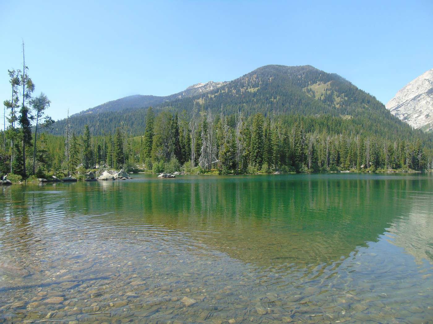
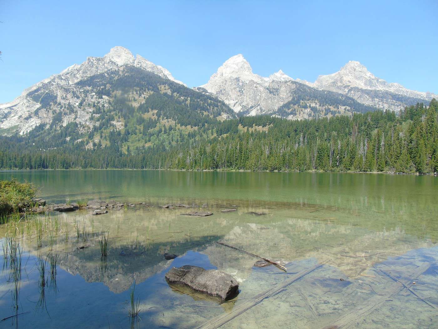
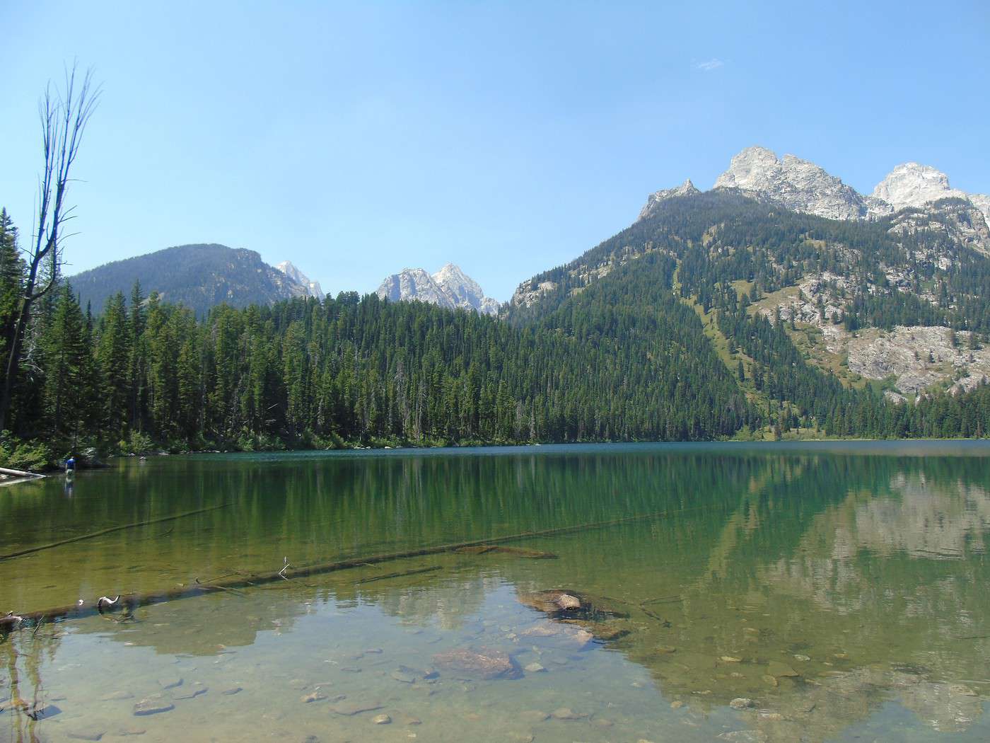
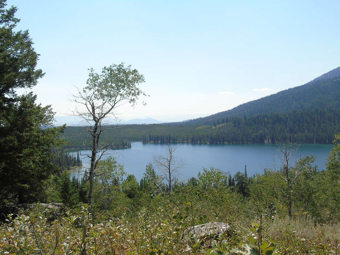
Taggart Lake:
 Bradley Lake:
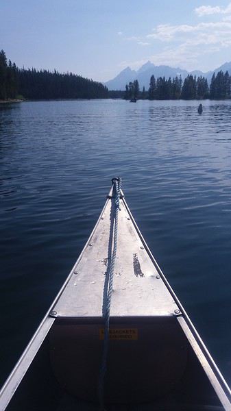
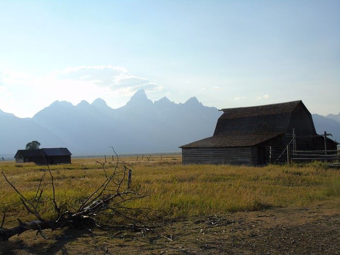
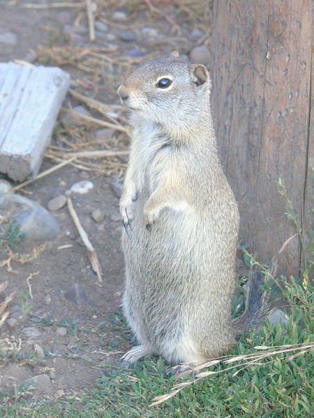 We don’t have time to visit Menors Ferry Historic District.
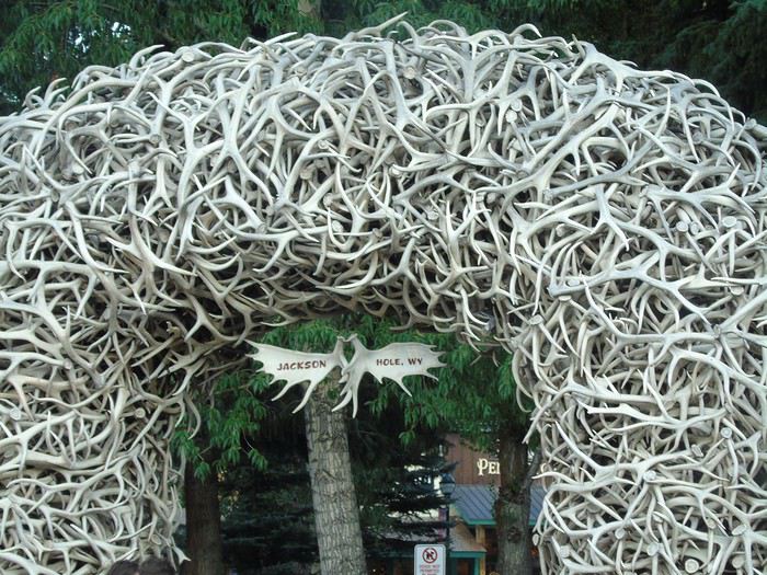 Why did we book so far away? Partly because we didn’t think we’d spend so much time in the park, hotels in Jackson Hole are crazy expensive, and we had a long drive the next day.
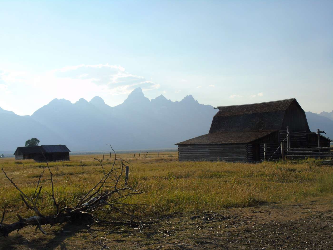
Nice road, though—this area has lots of ranches.
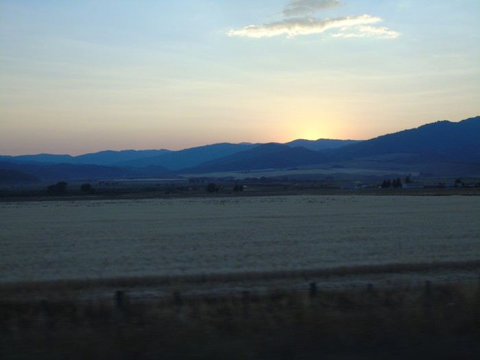
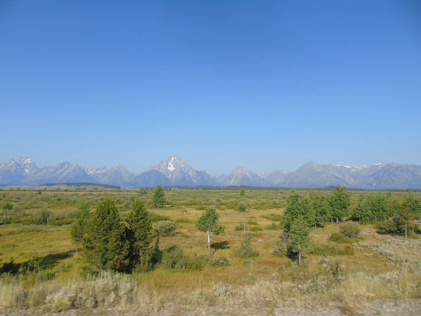
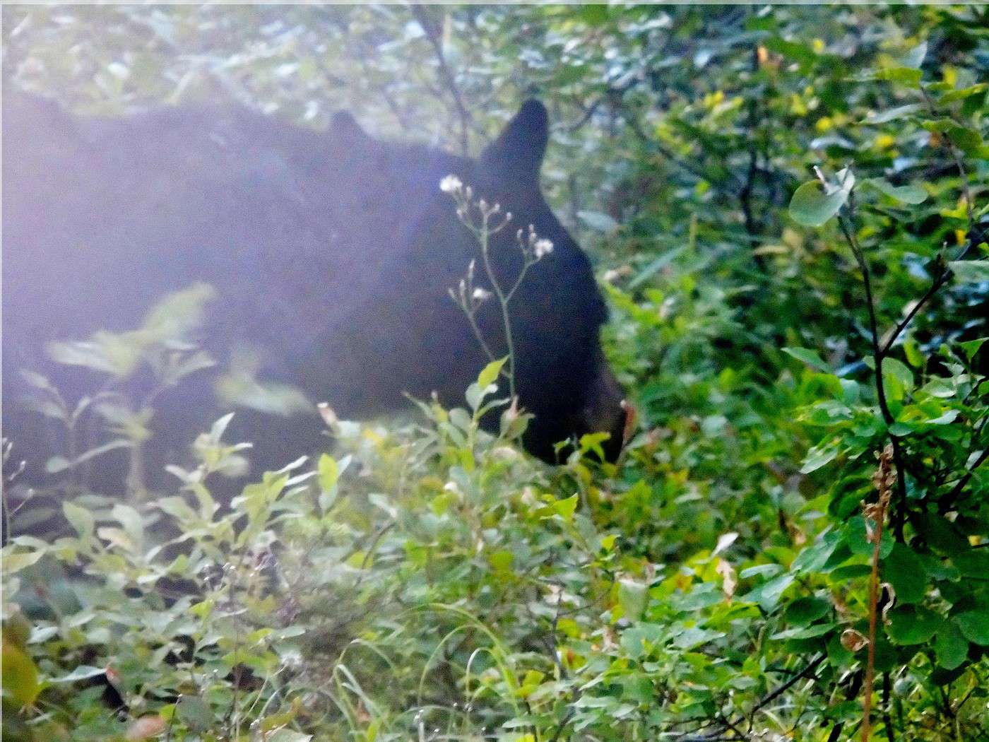
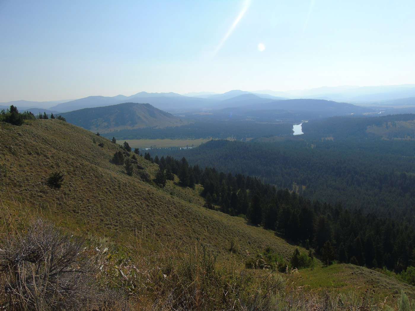
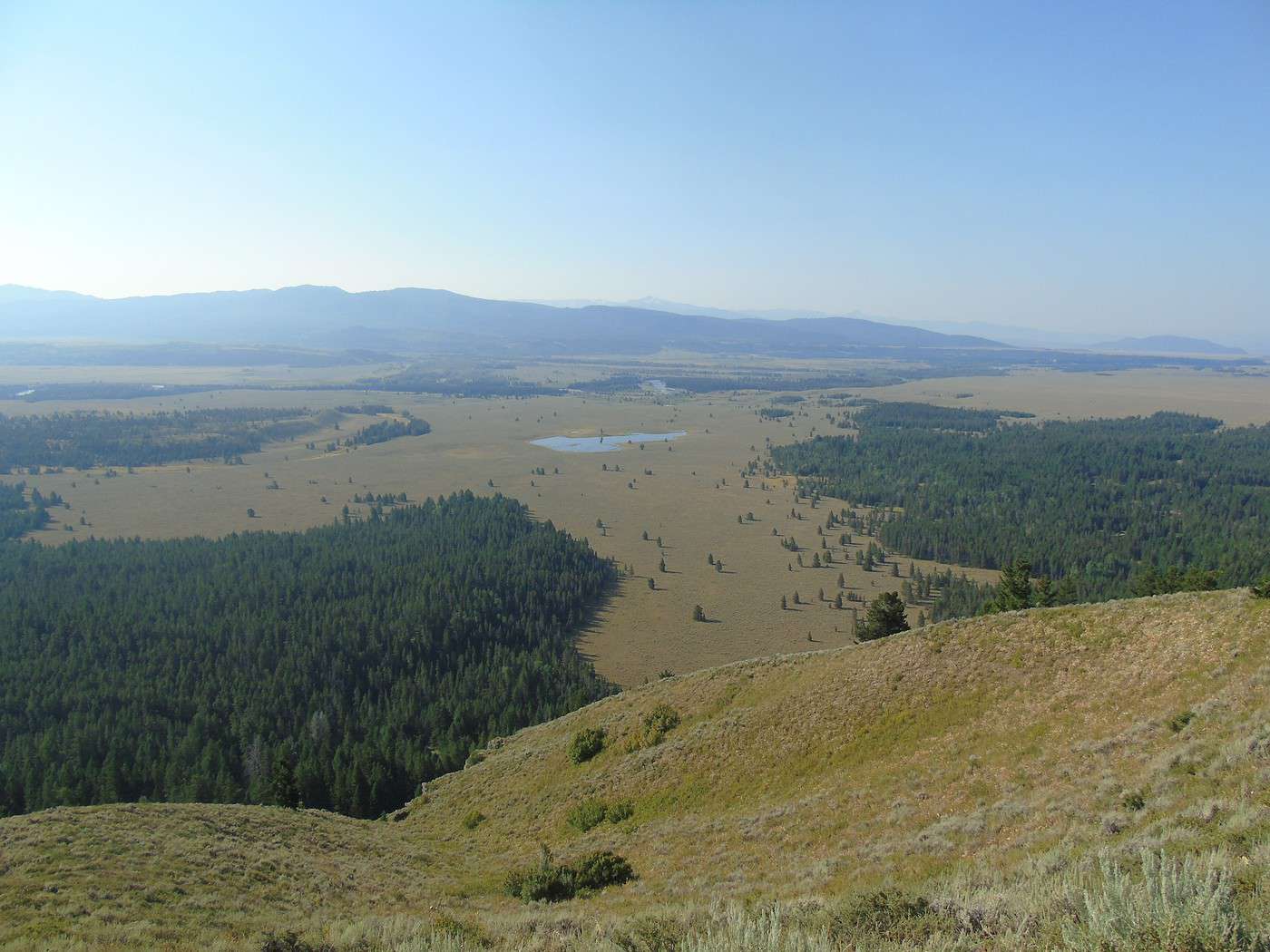
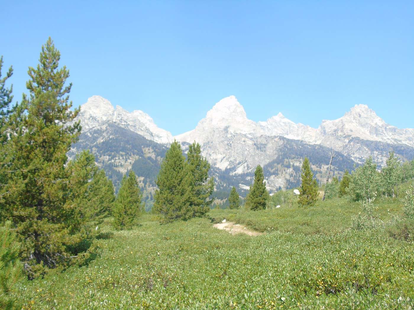
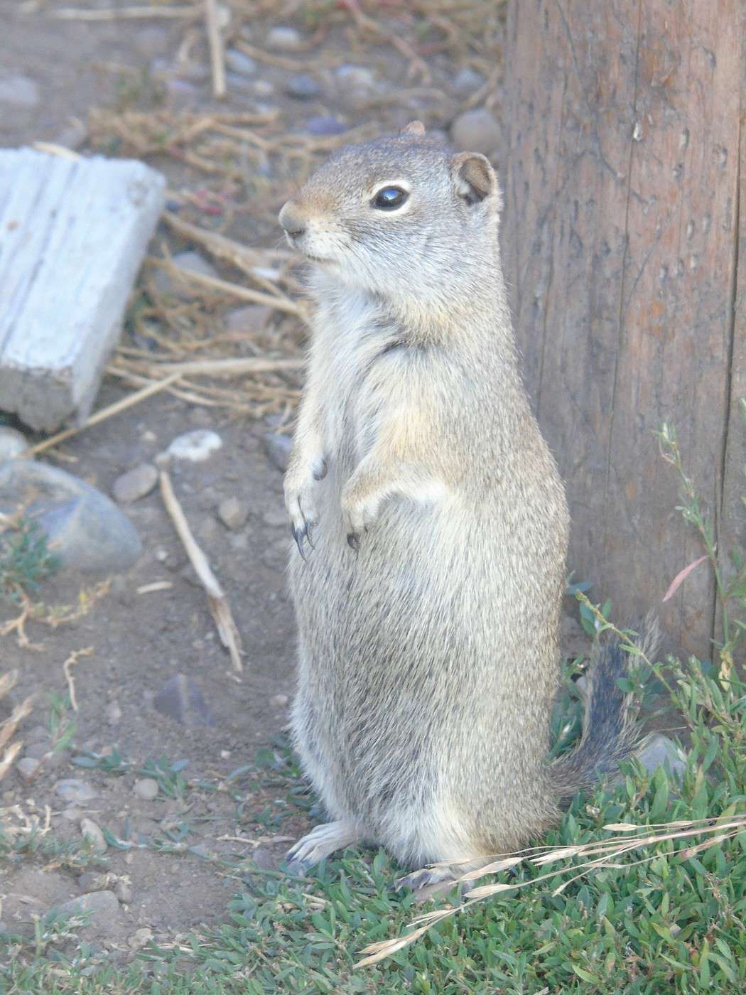
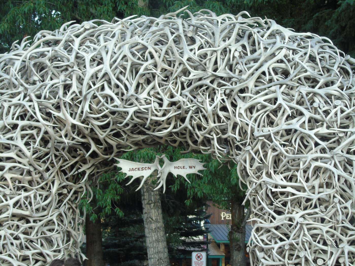
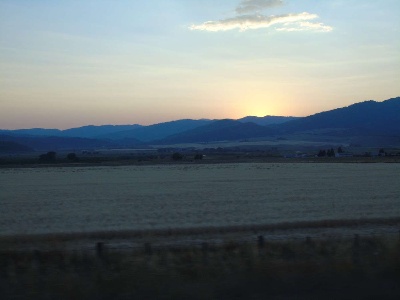
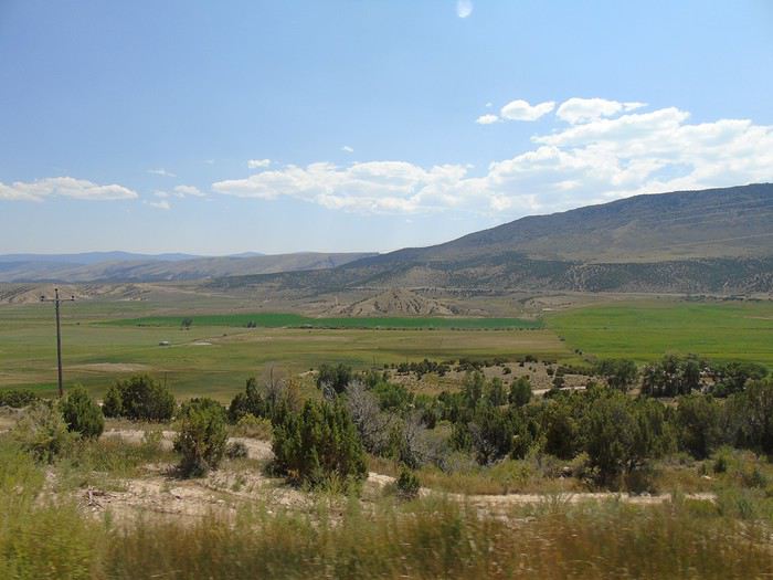
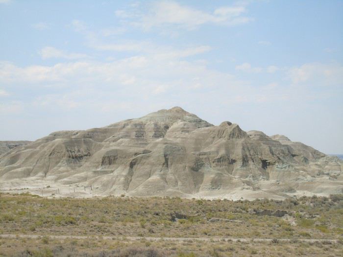
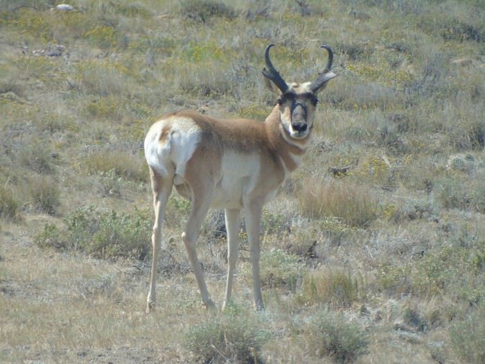
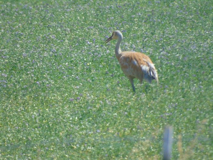
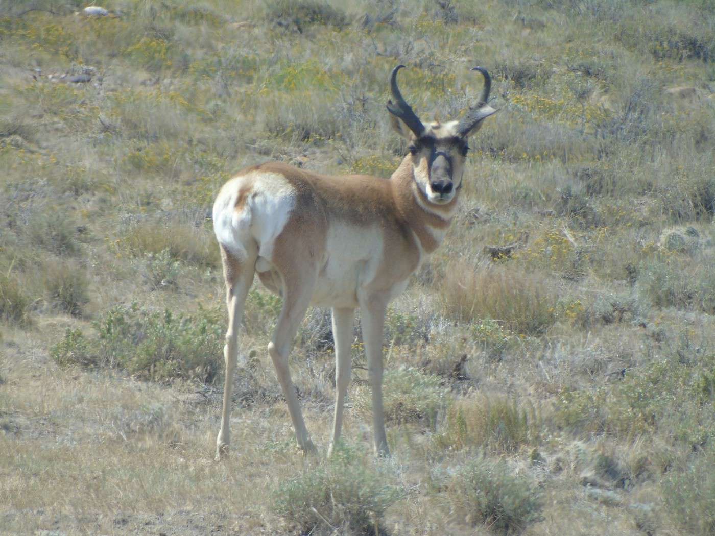
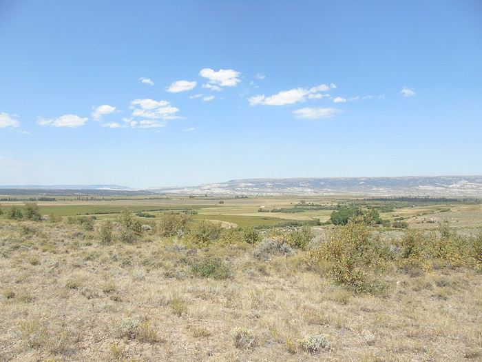 We barely saw any cars and our last antelopes, plus some wading birds (herons?).
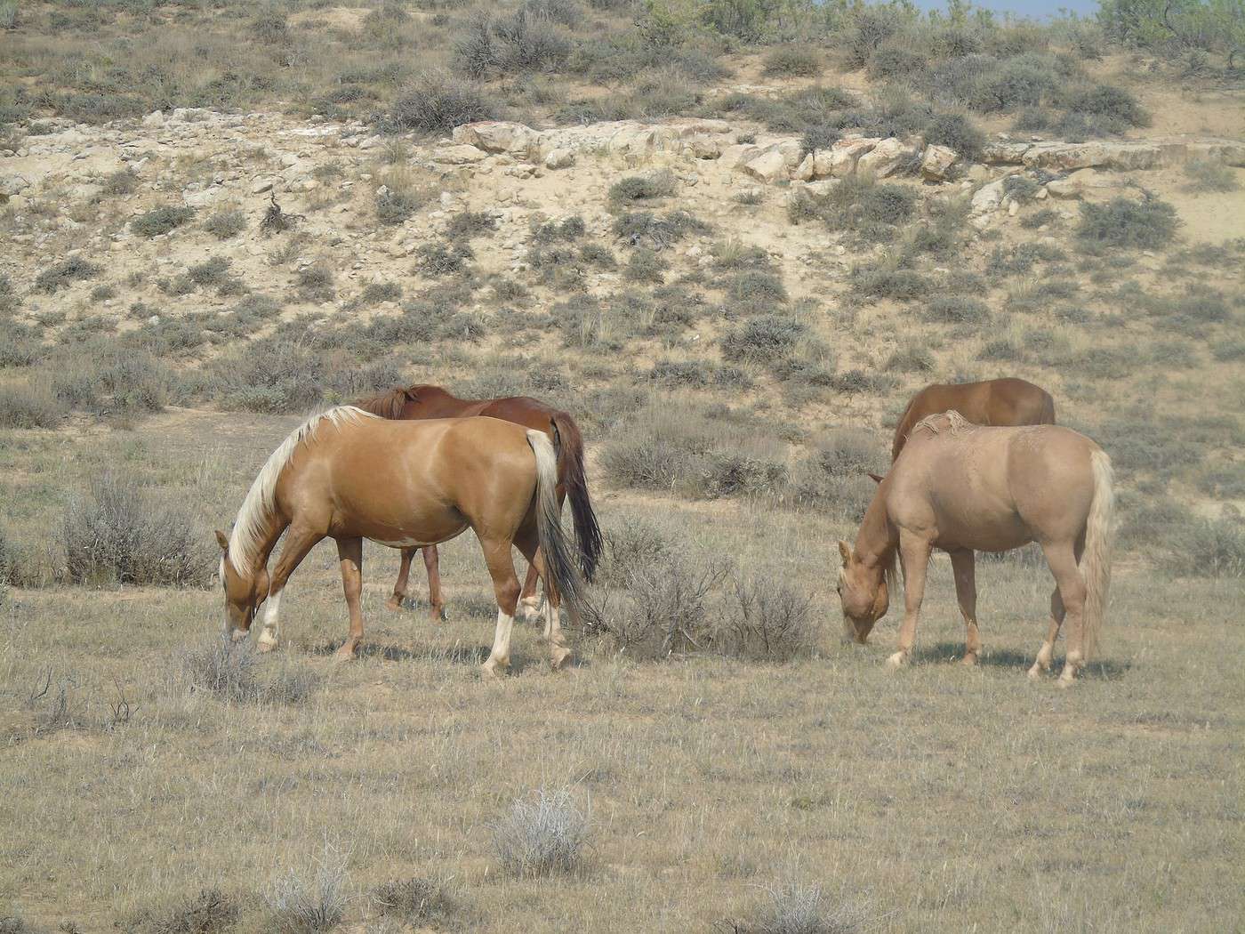
 We stopped in a village where a rodeo was getting ready, but it hadn’t started yet, and we couldn’t afford the delay. Too bad—we only had time to admire the horses.
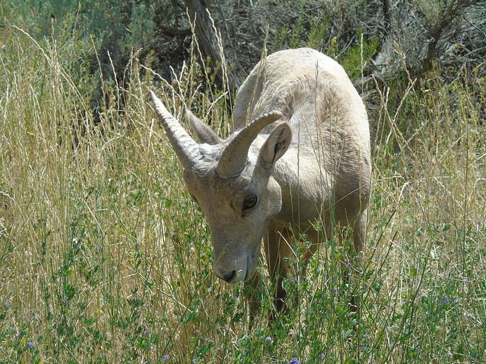
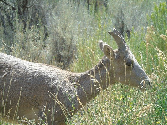
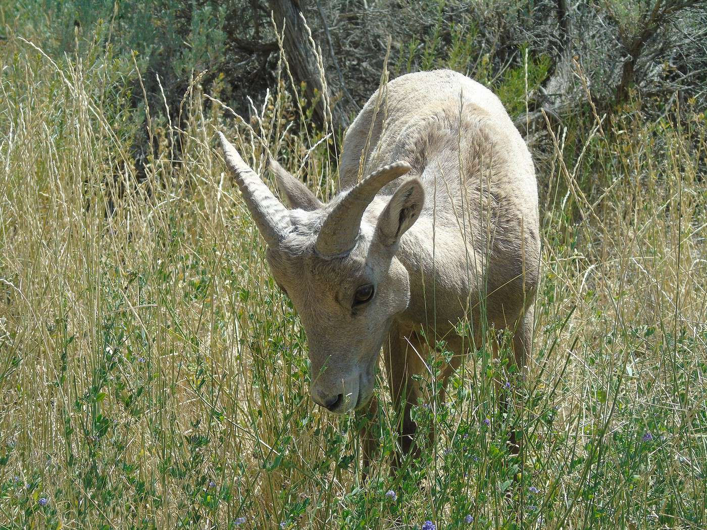
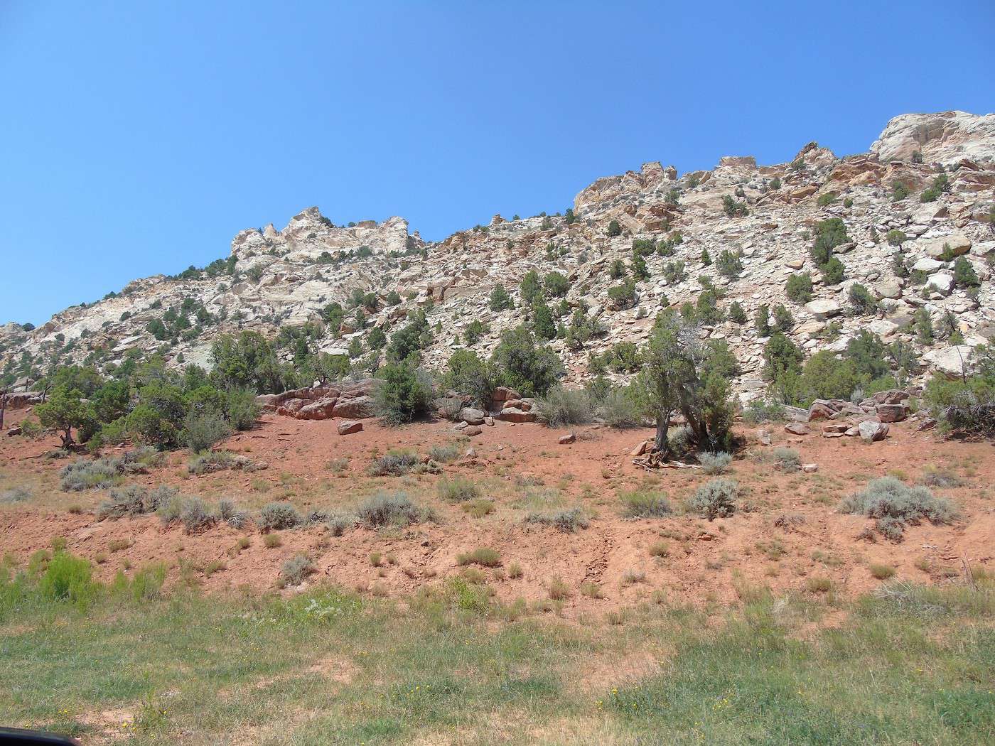
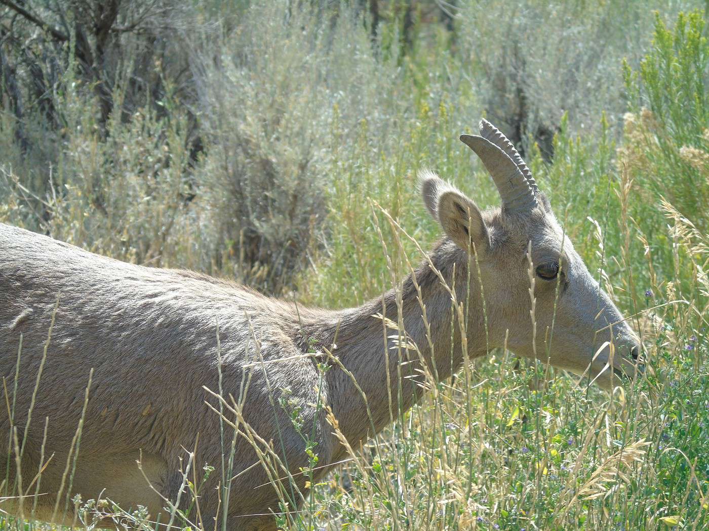
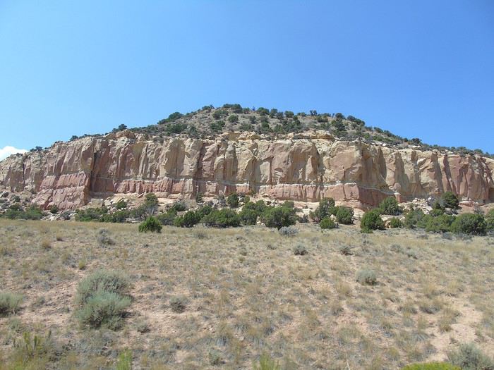 We turned onto the Sheep Creek Loop and came across a herd of bighorn sheep. A really scenic road winding through red rocks.
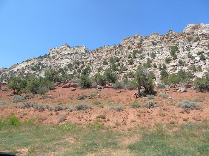
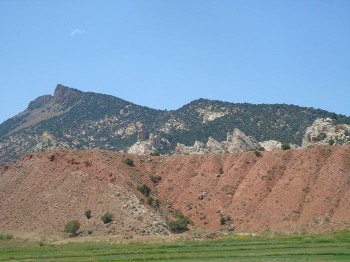
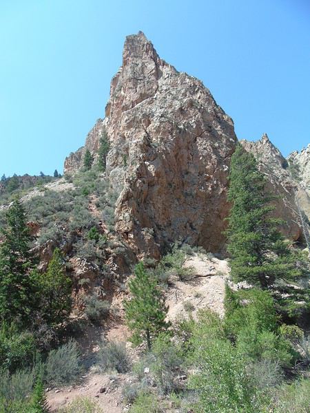
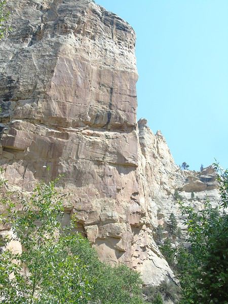
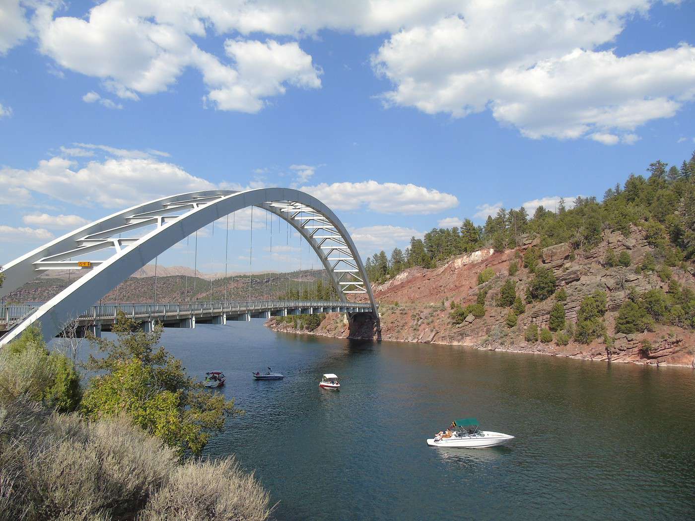
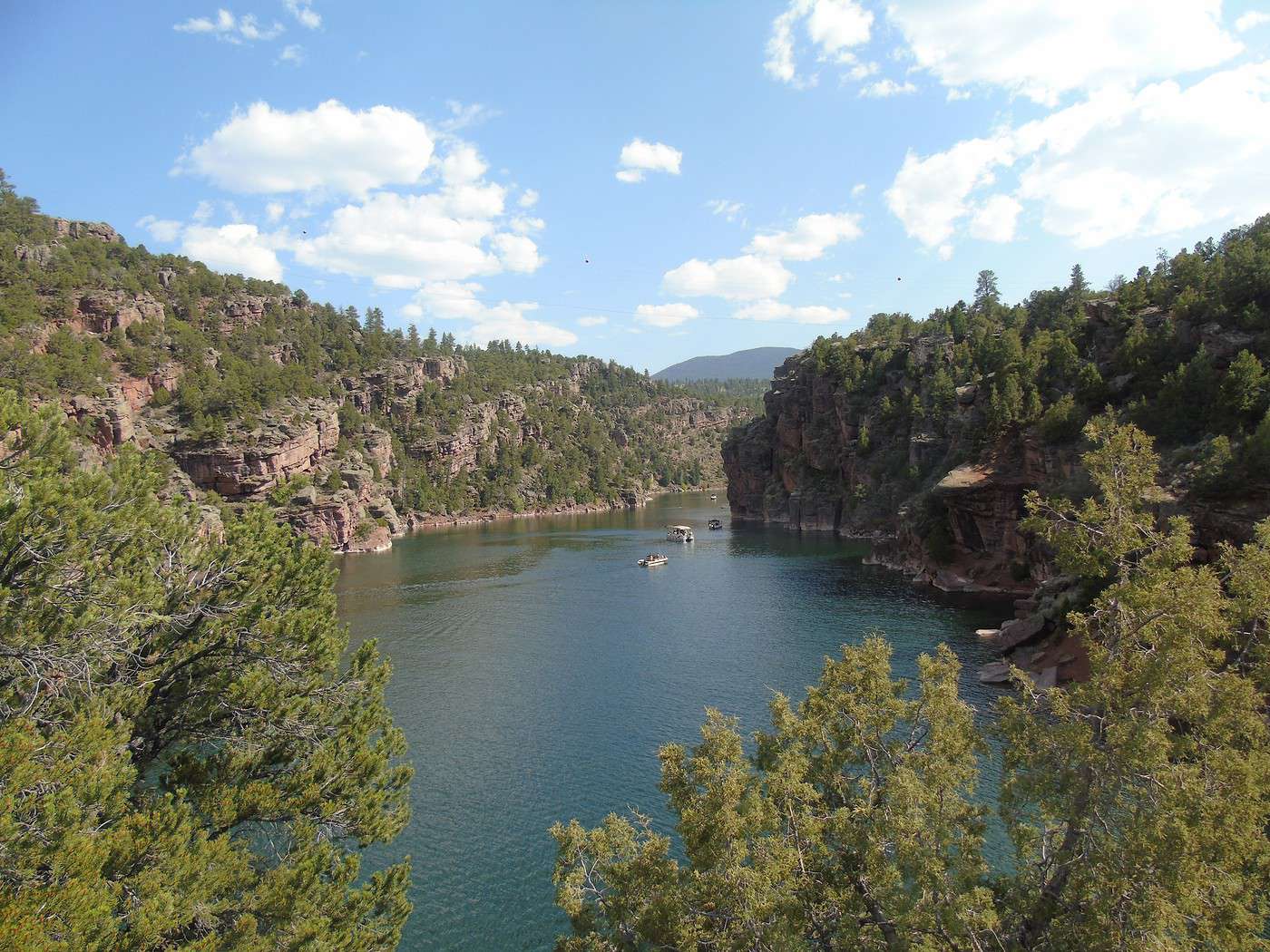
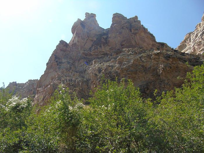 We stopped at the Red Canyon Visitor Center, which offered great views of the canyon.
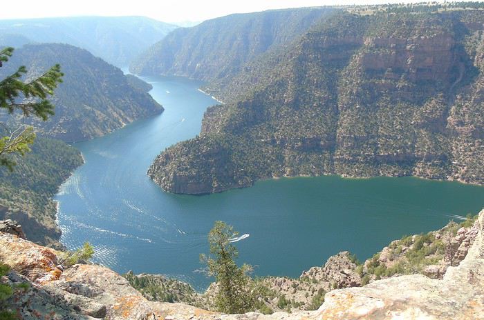
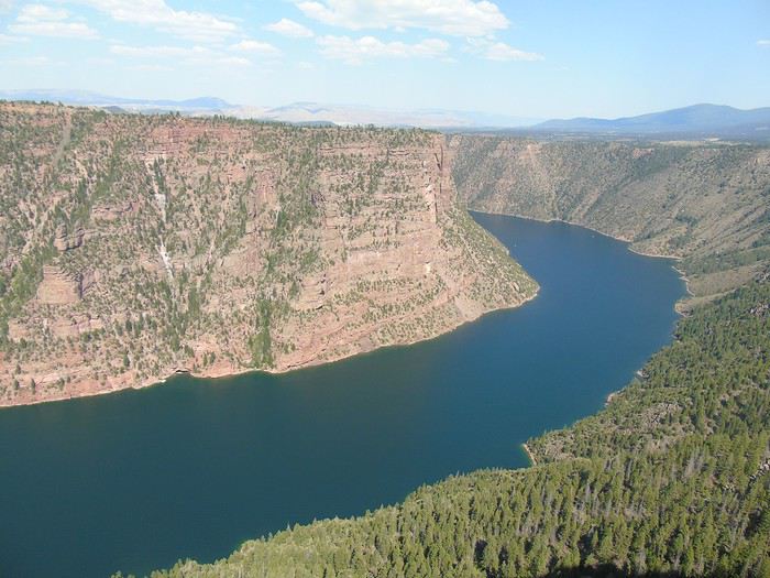 We decided to push on to the dam—what’s a few more miles at this point? Well, we could’ve skipped it.
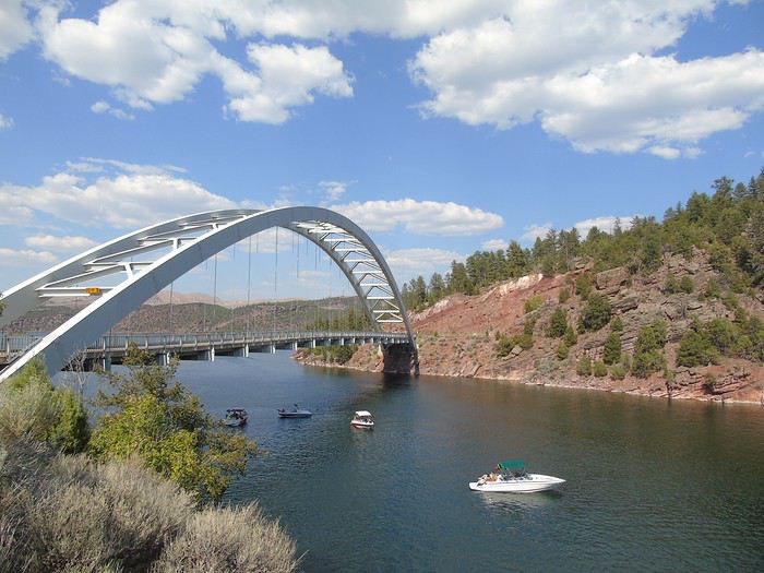
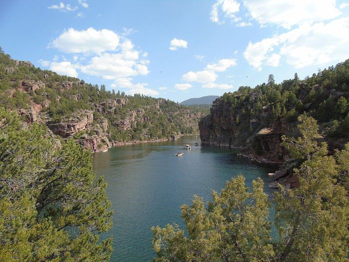
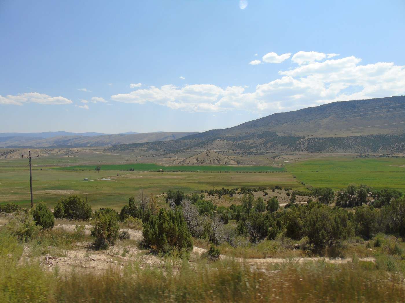
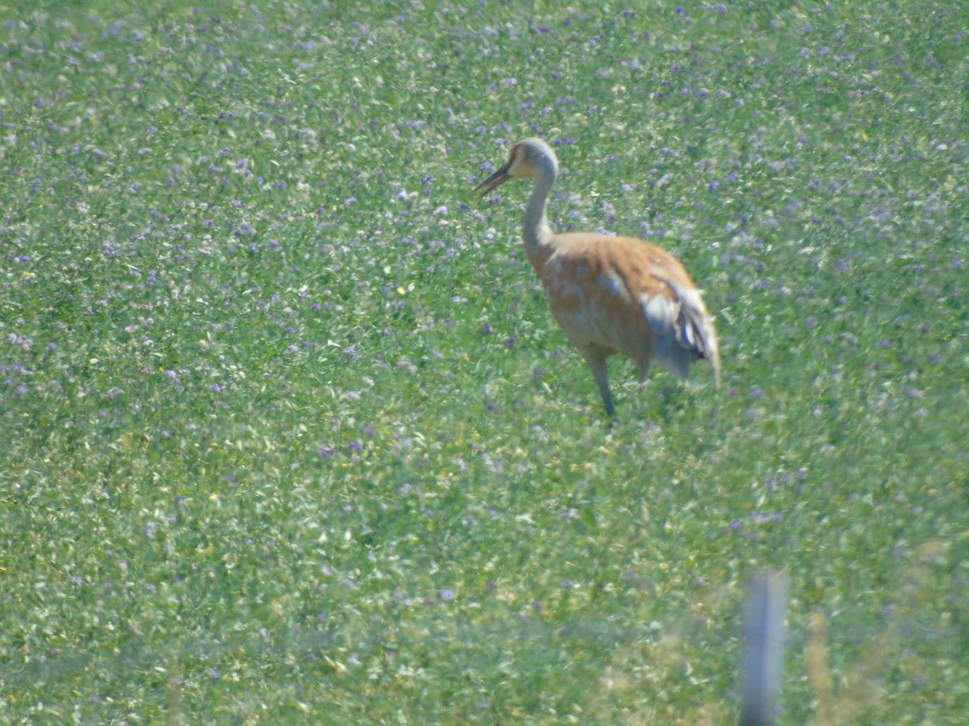
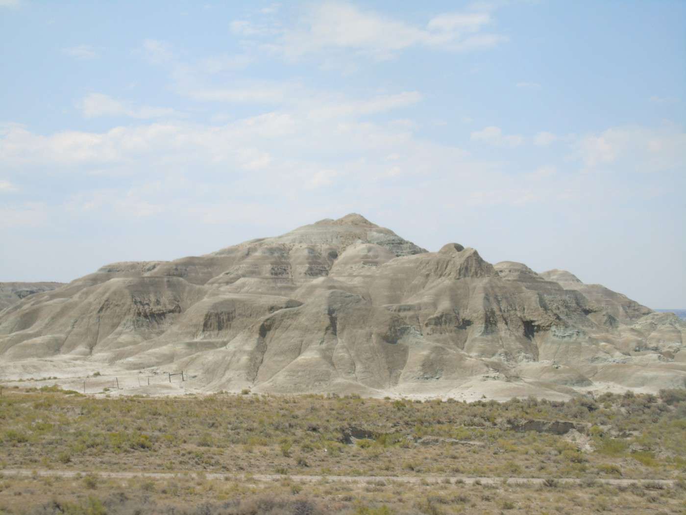
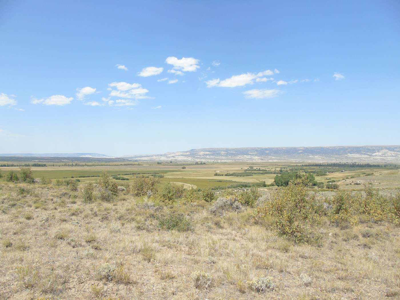
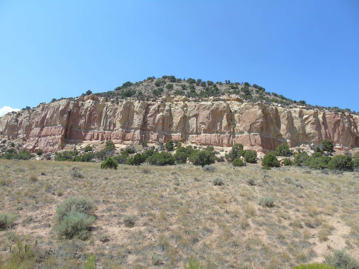
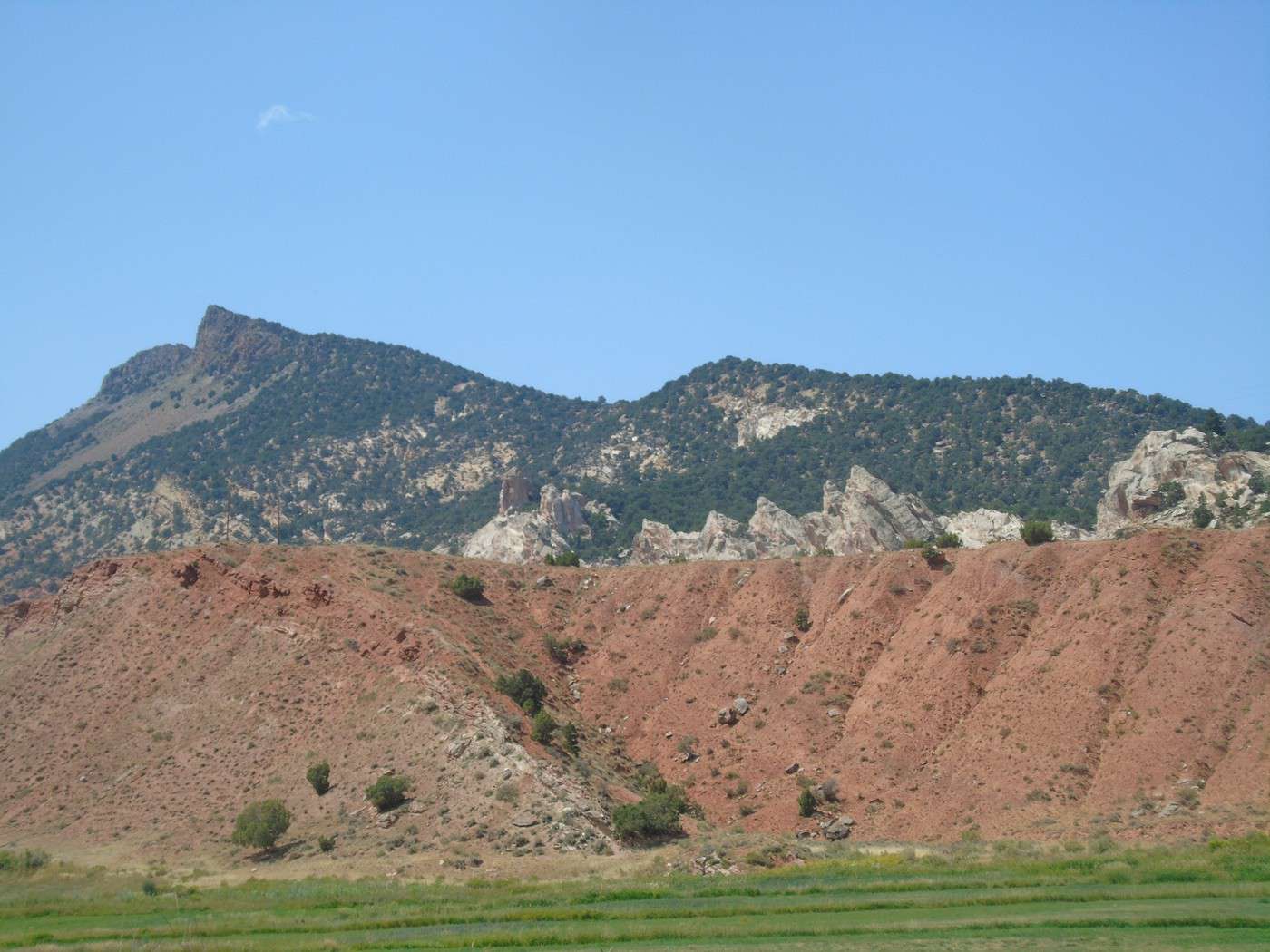
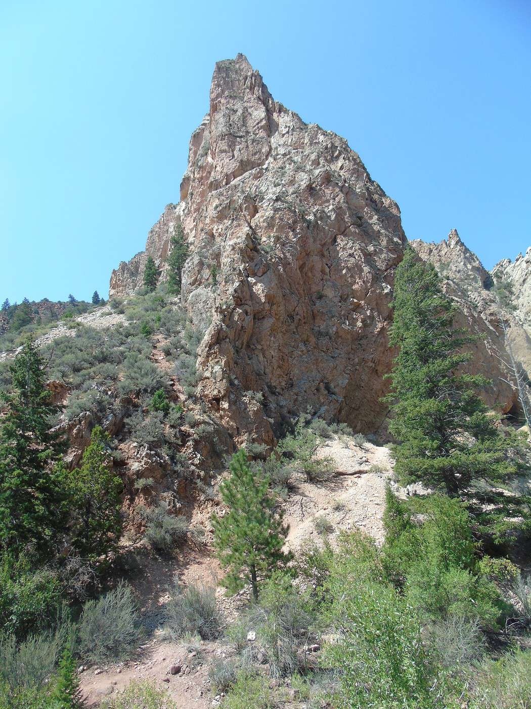
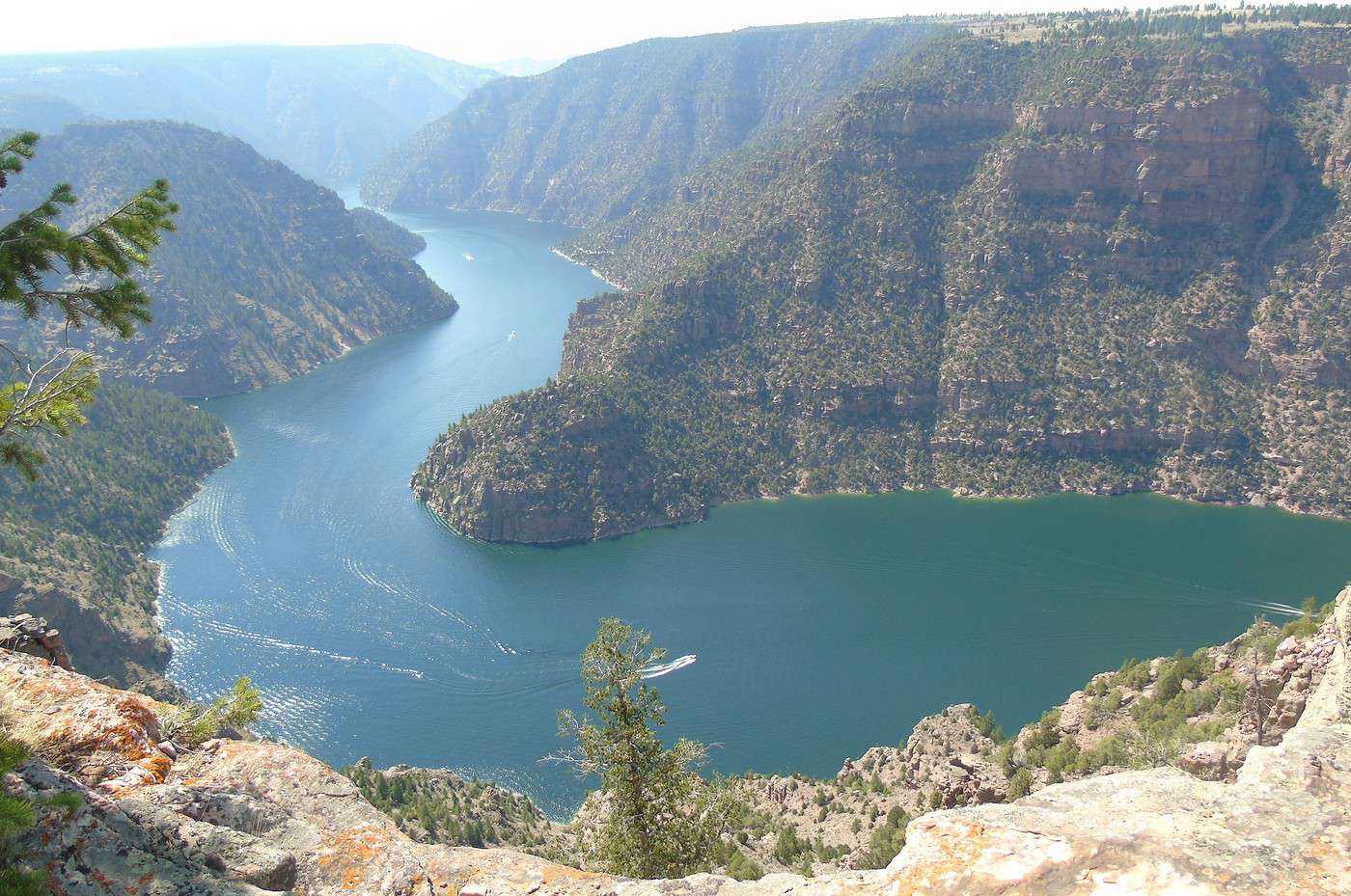
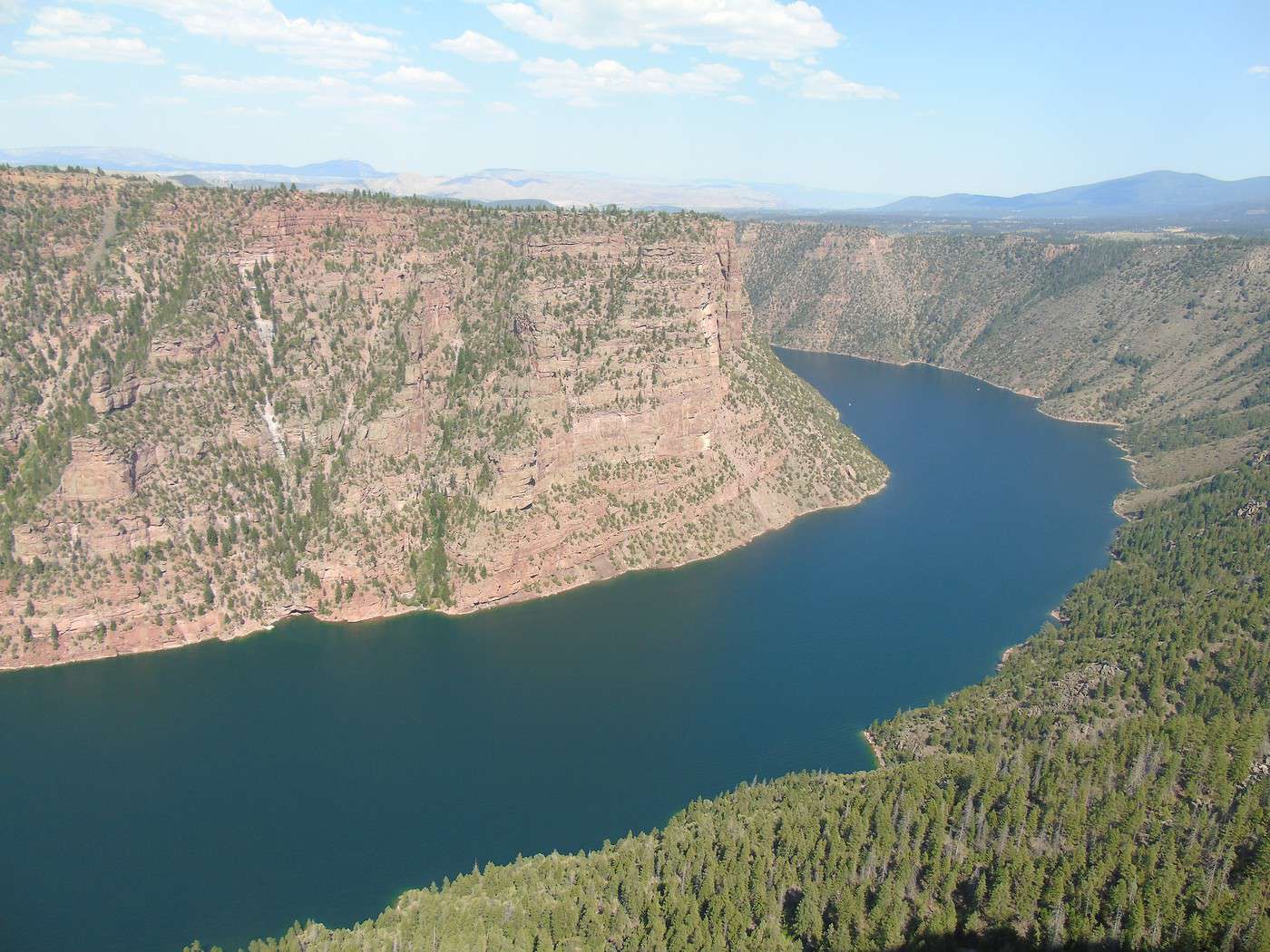
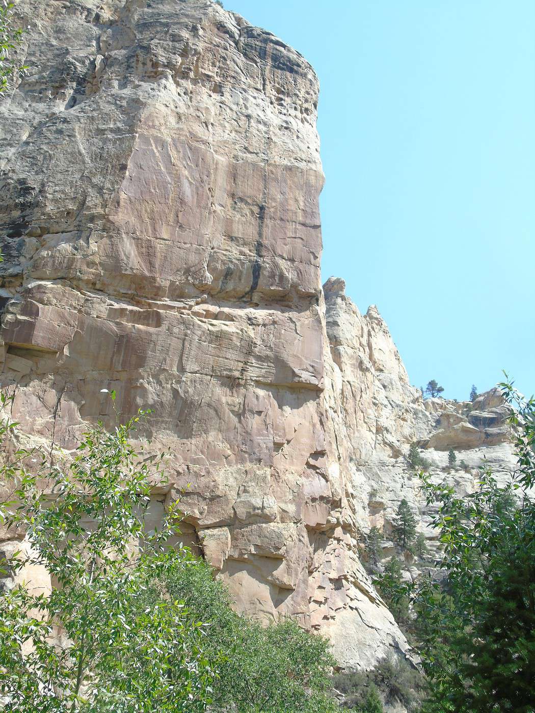
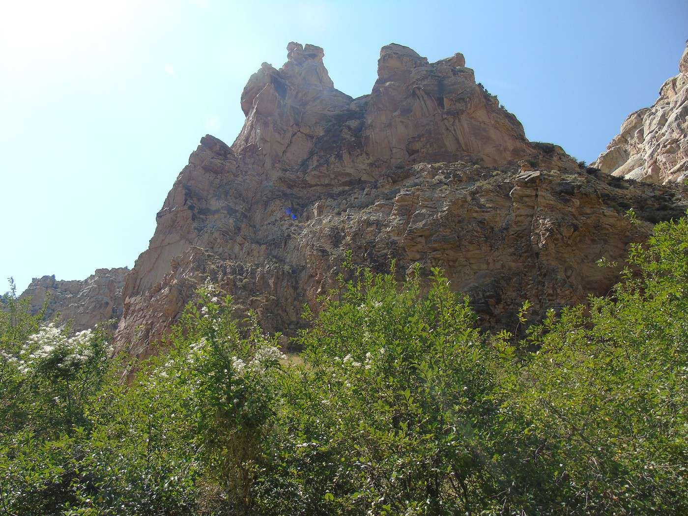
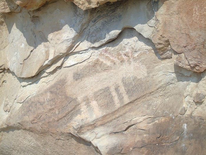
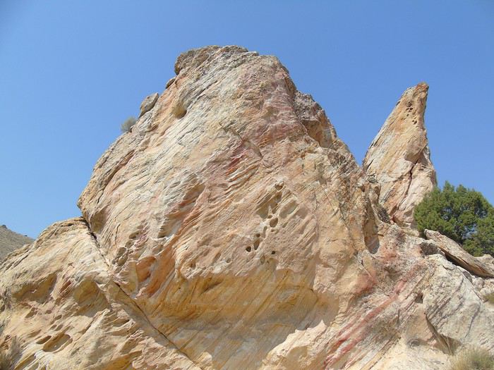
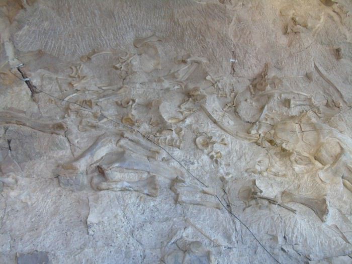
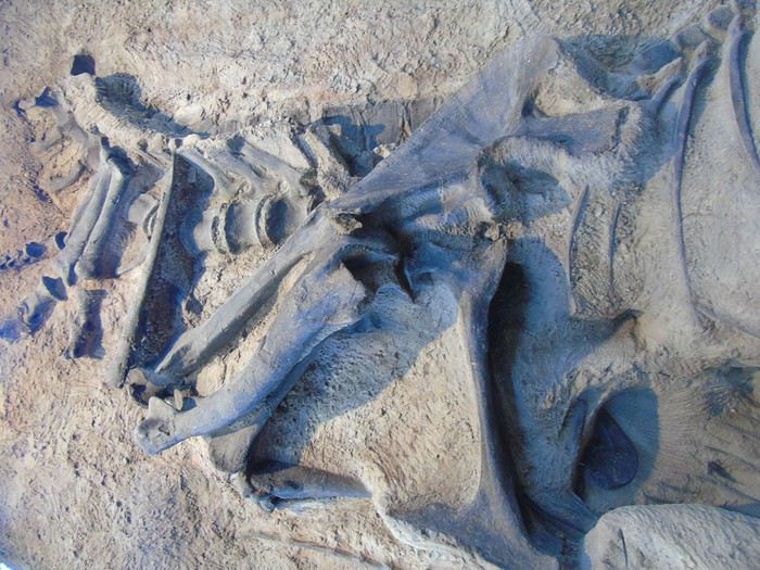
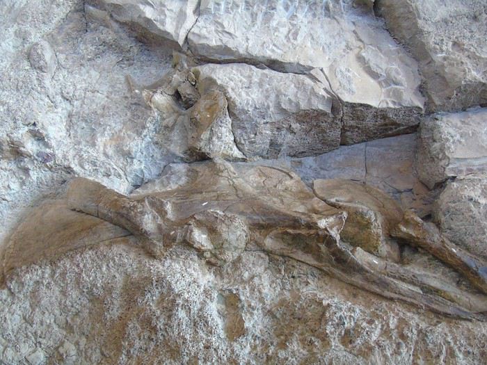
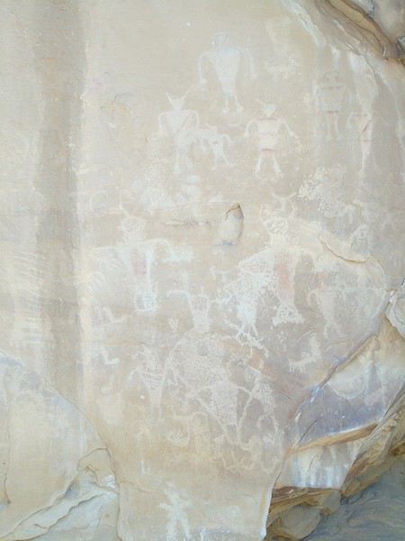
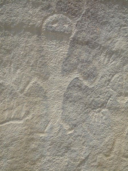
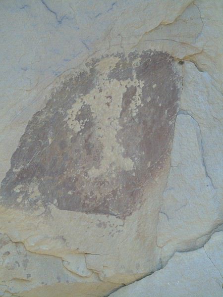
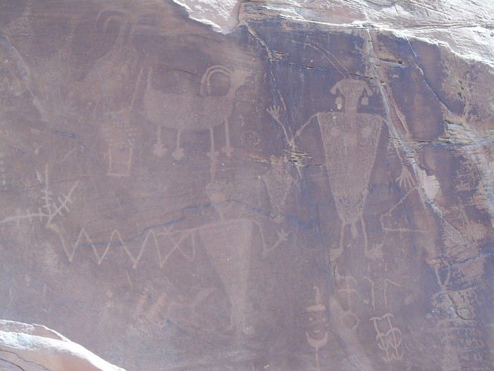
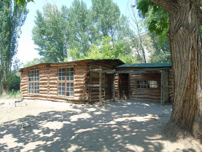 It’s really nice, and we’re alone. We decide to follow the trails leading to canyons and start with the Hog Canyon Trail (2.5 km round trip, easy). We come across a snake slithering away at full speed. It’s way too hot—we finish the walk red as tomatoes. It’s not even that long, but we feel like we’ve drunk a ton. Back to the car, luckily in the shade, and no one wants to do the second walk, even though it’s shorter.
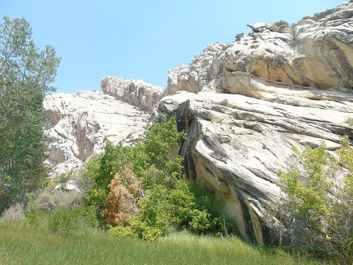
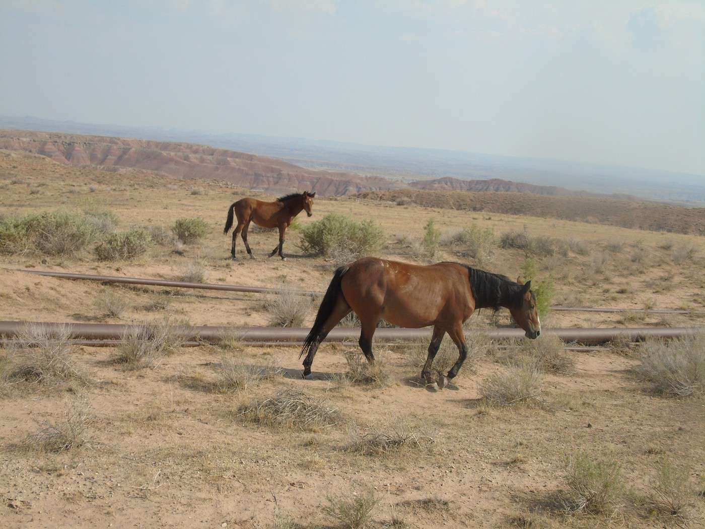
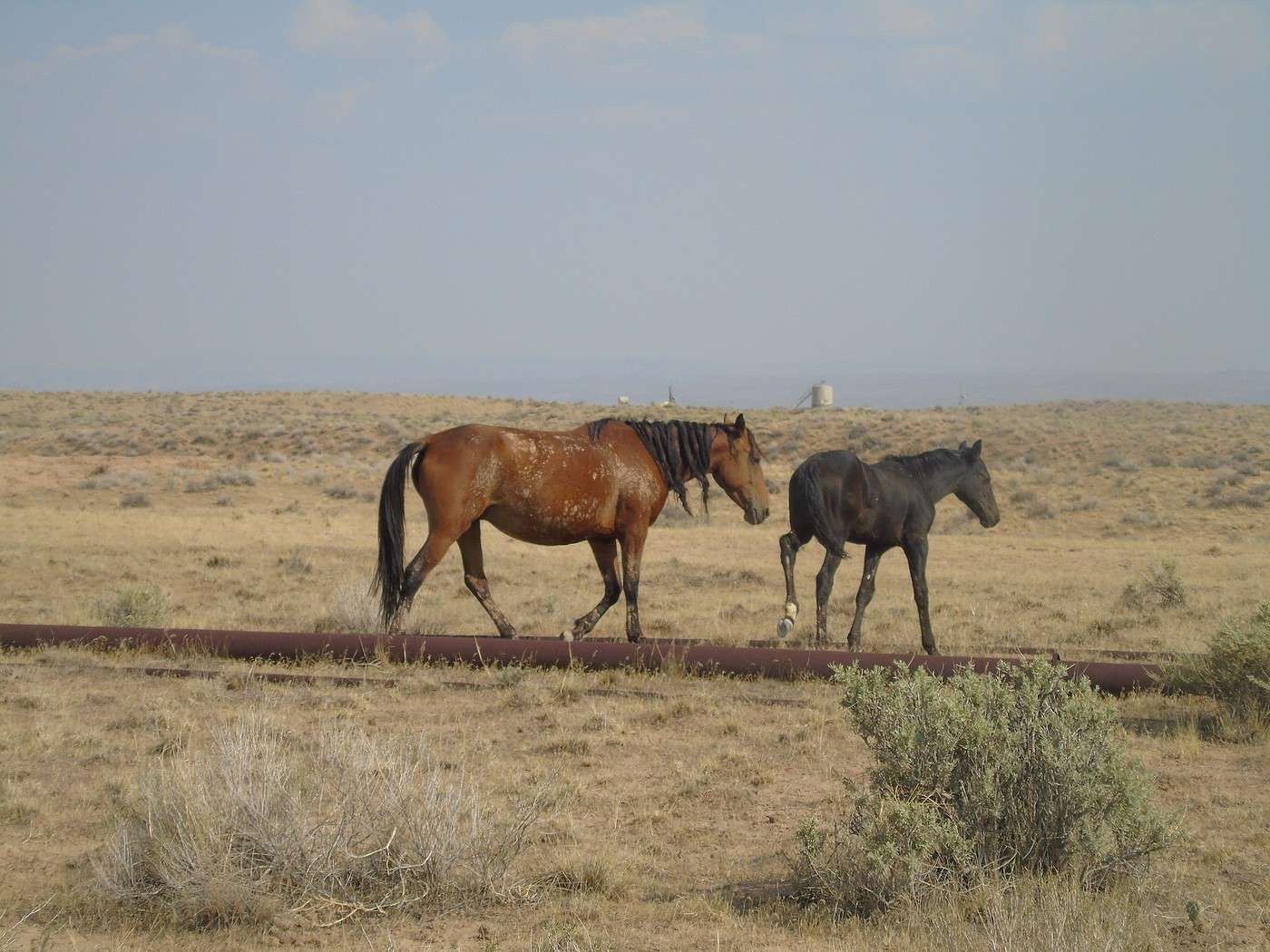
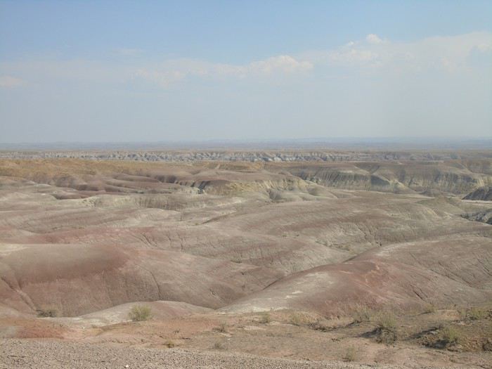 The GPS has us leave the road pretty quickly, and we’re on dirt tracks (very drivable) going up and down hills in a desert landscape full of oil fields. We obediently follow the GPS, hoping it’ll take us to the right place!
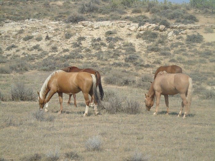
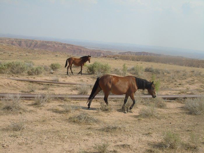
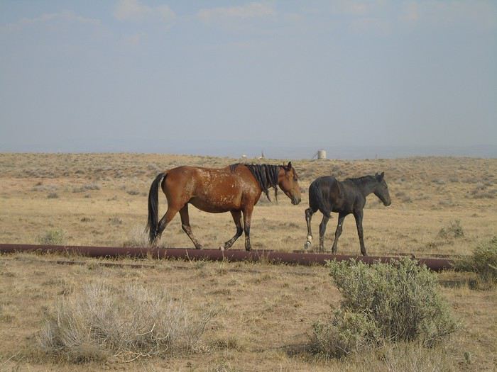
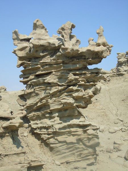
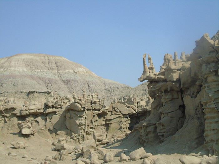
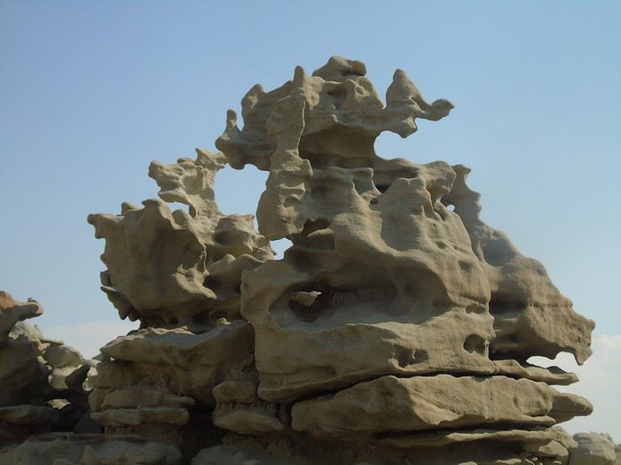
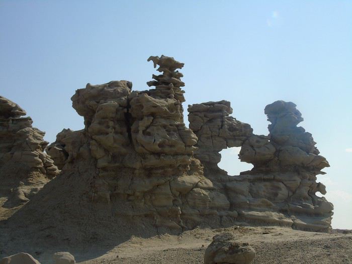 Another car arrives—more French people! We chat for a bit and then head back to Vernal.
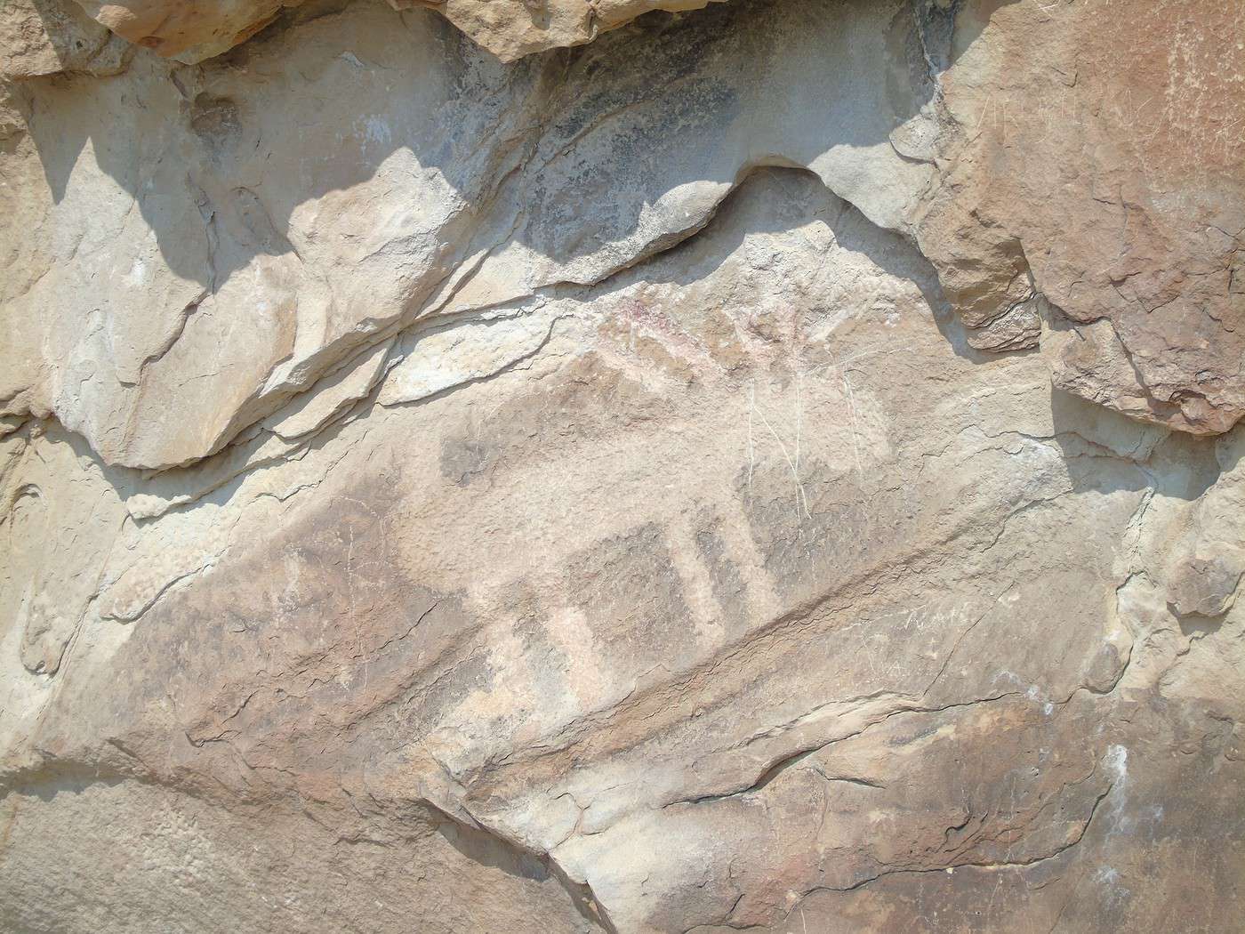
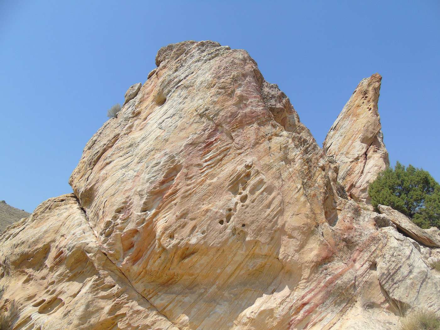
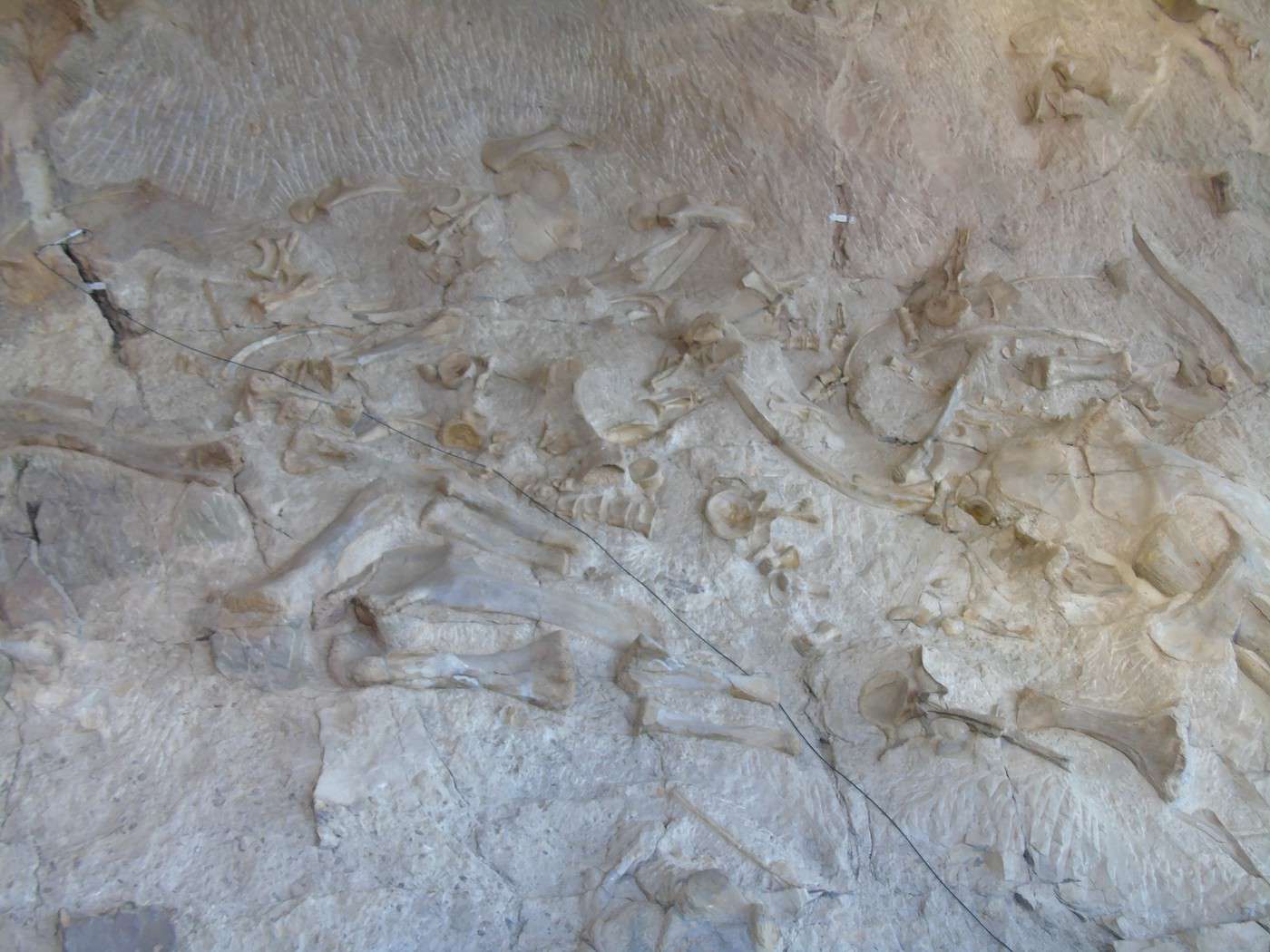
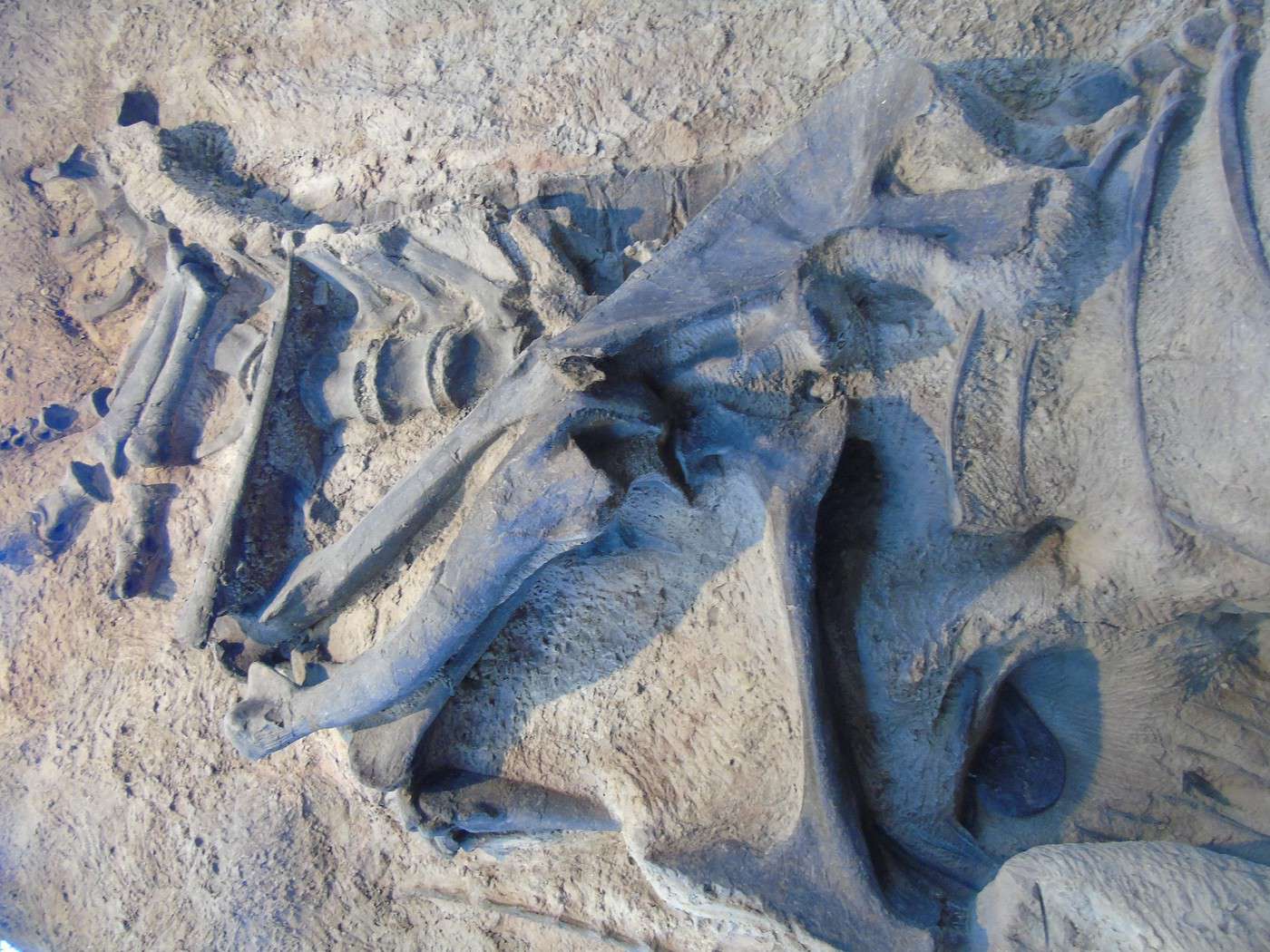
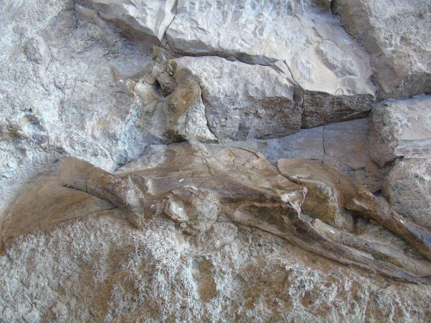
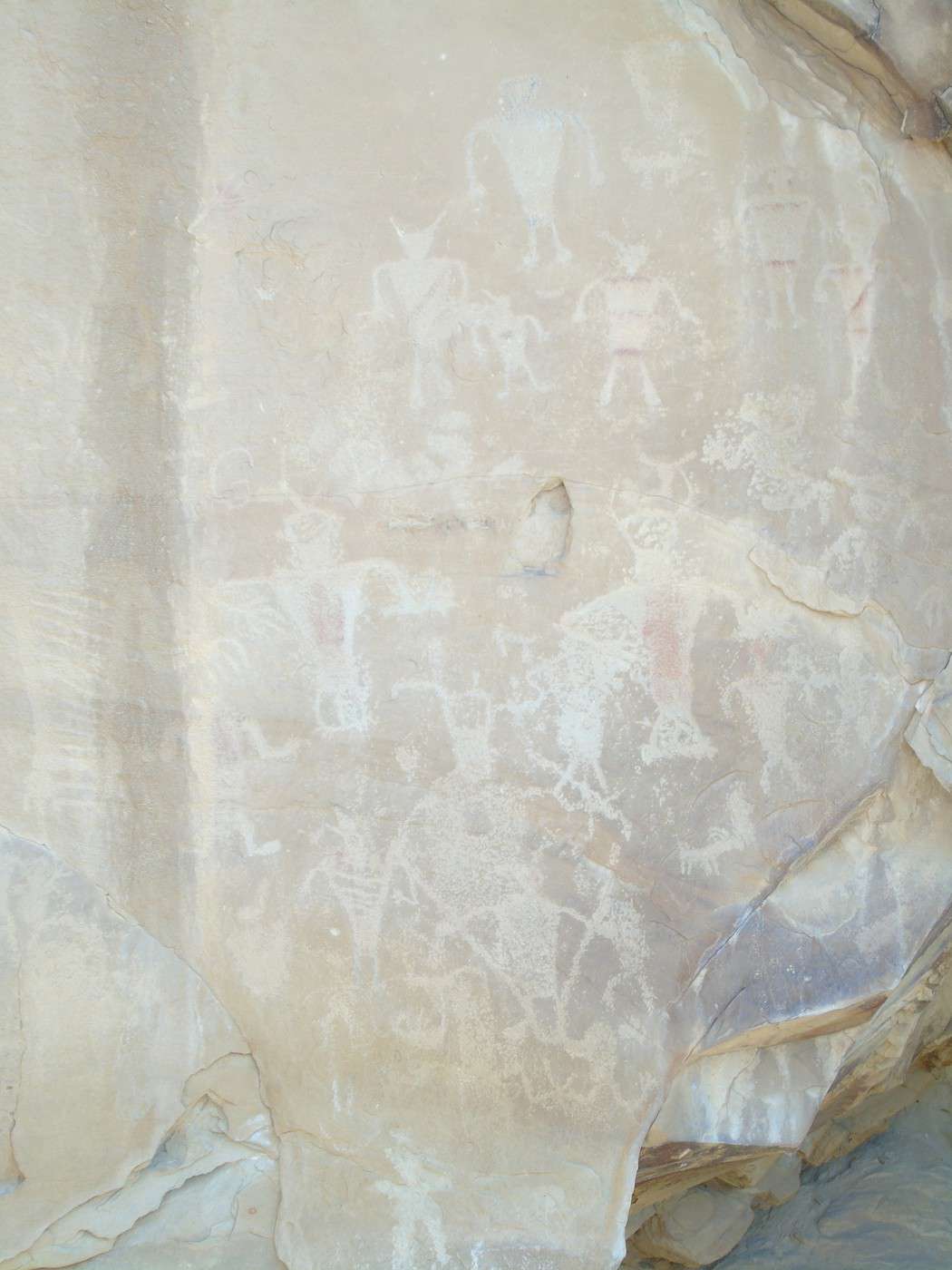
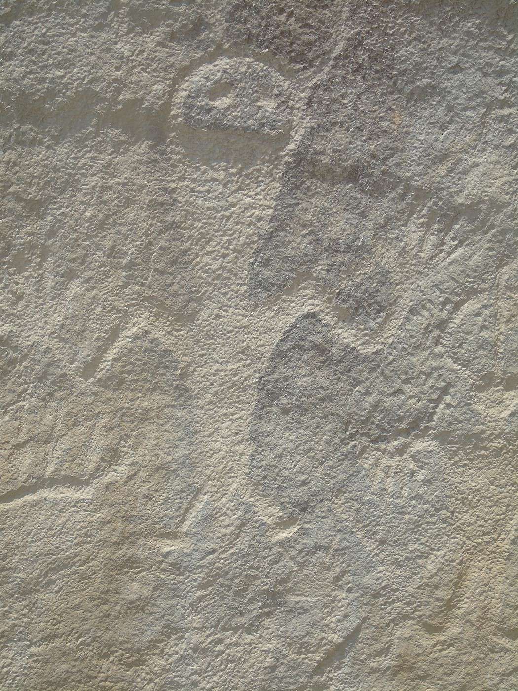
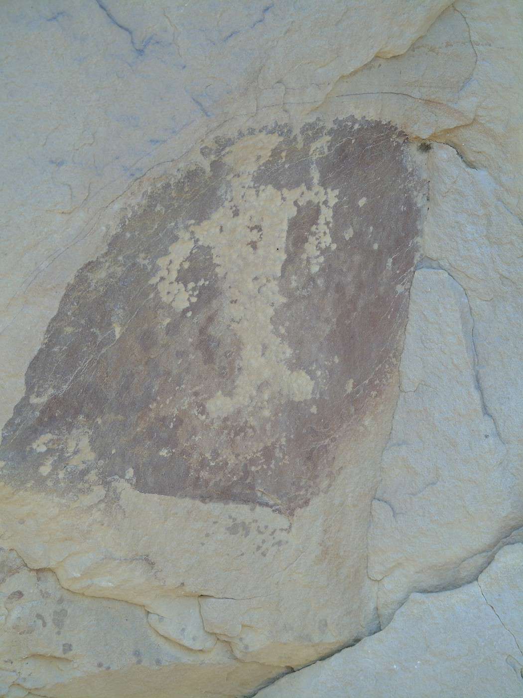
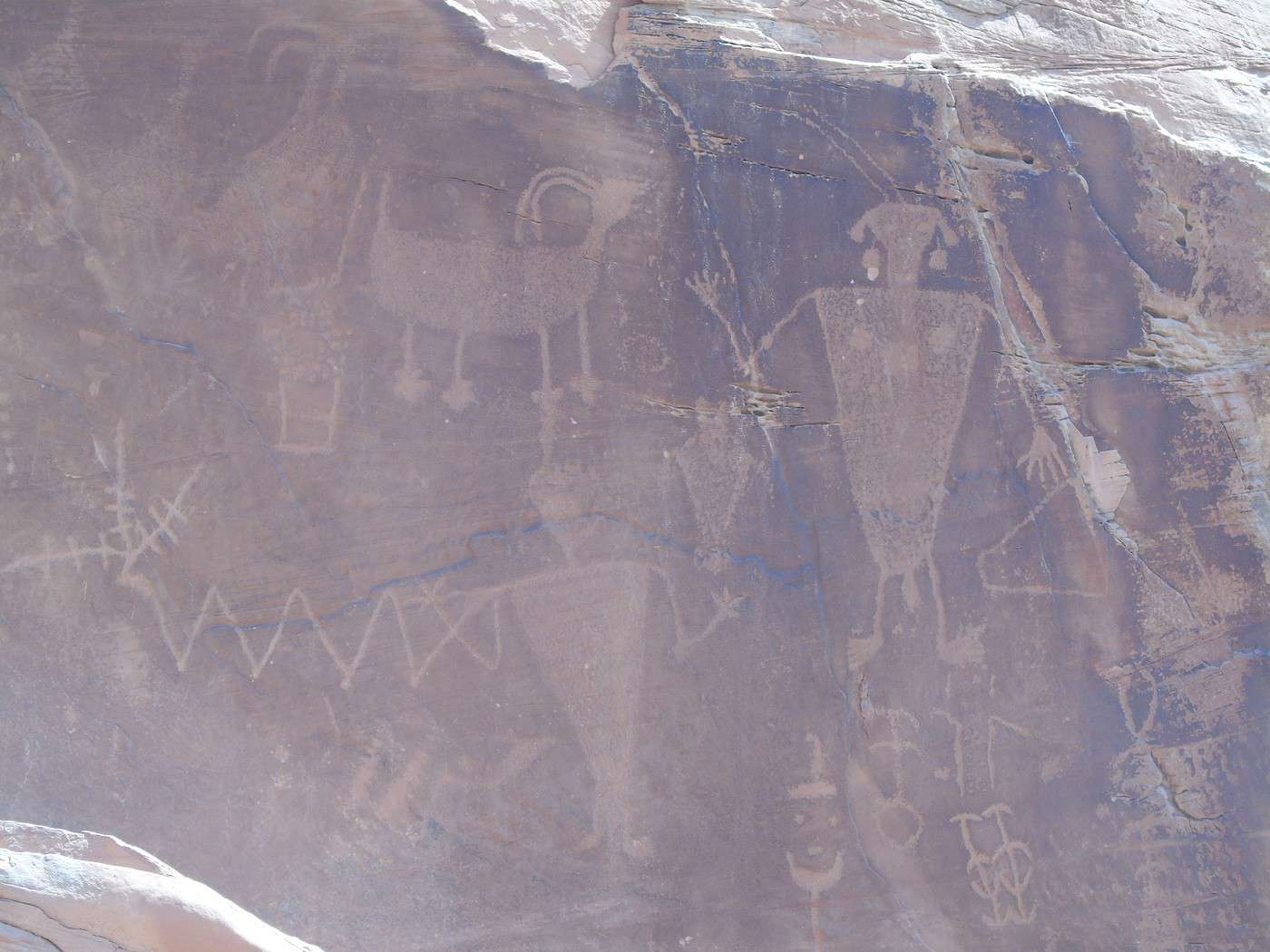
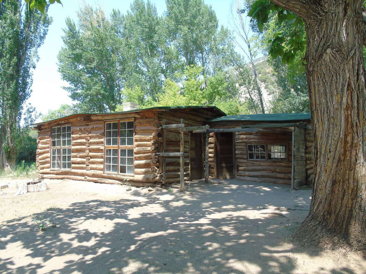
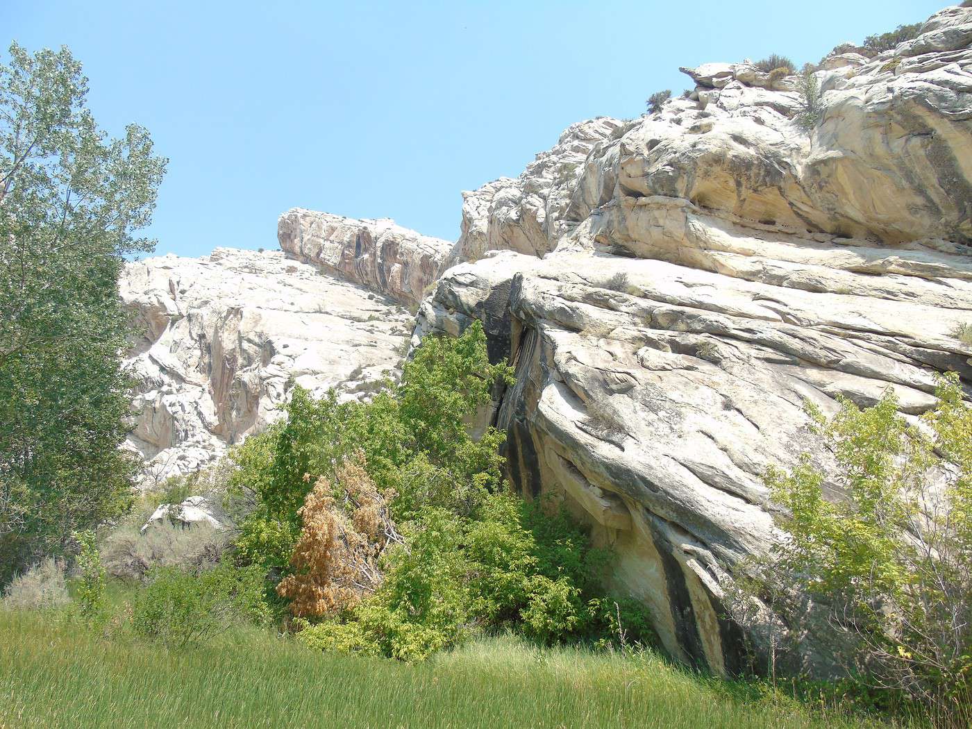
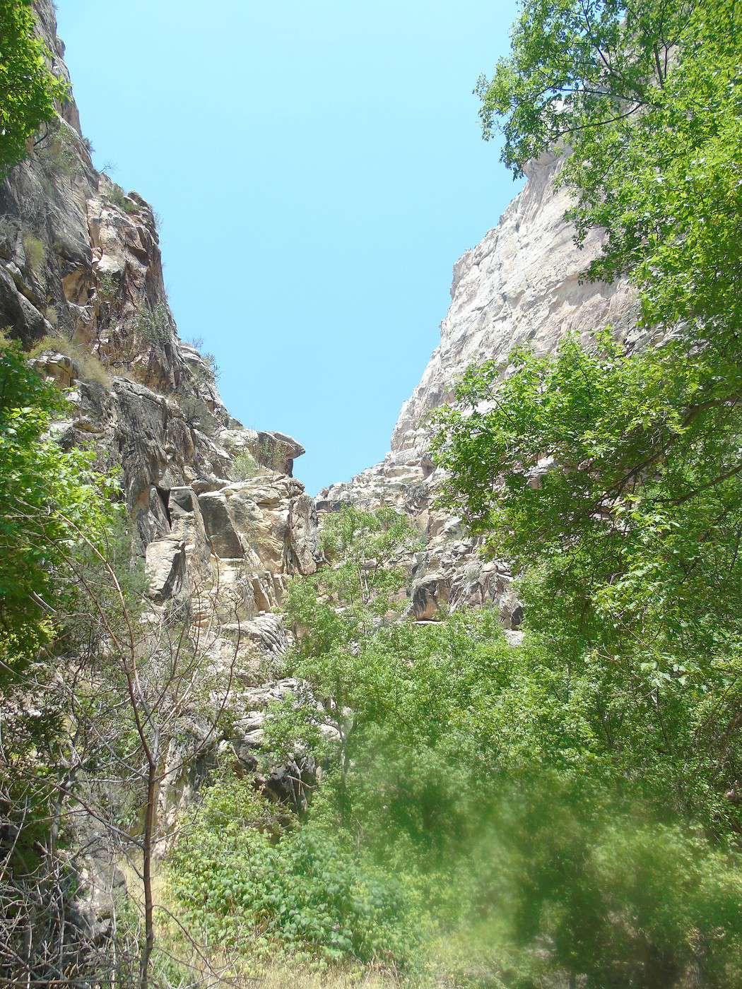
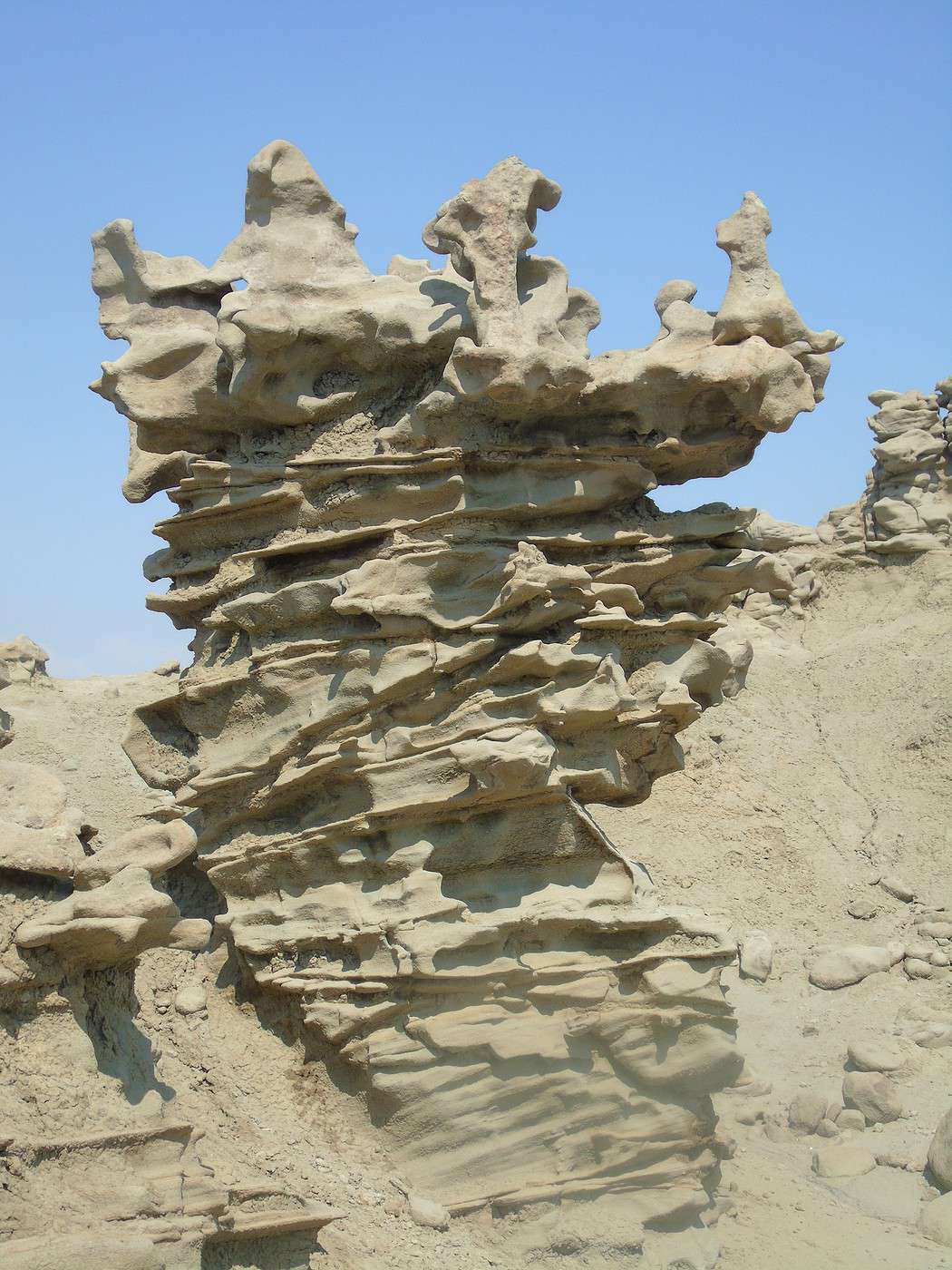
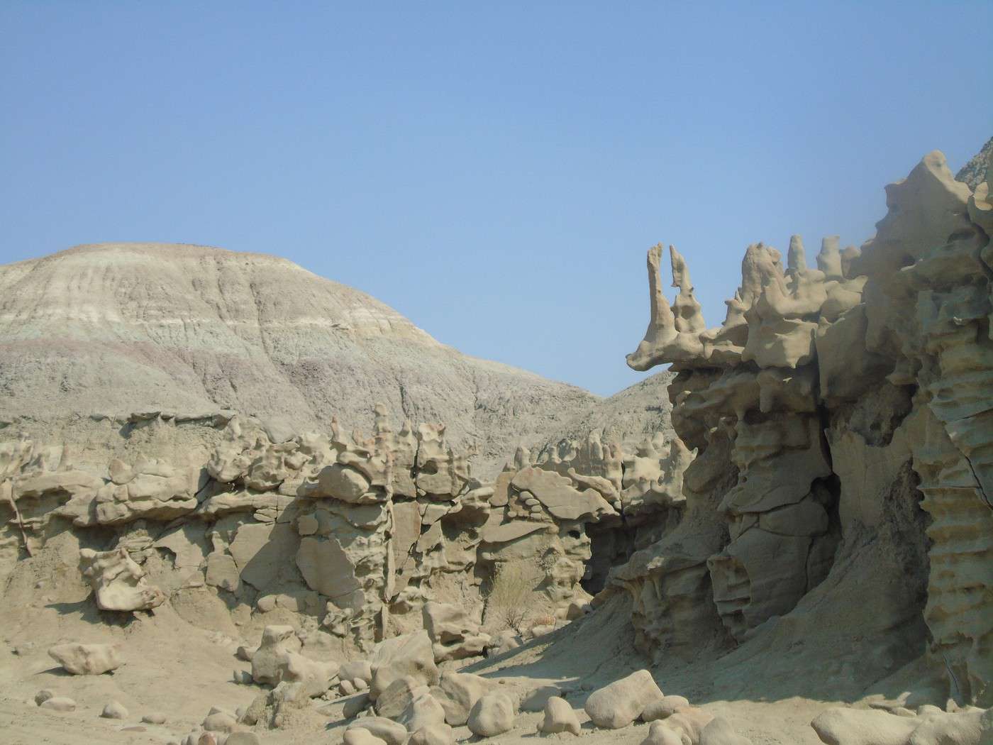
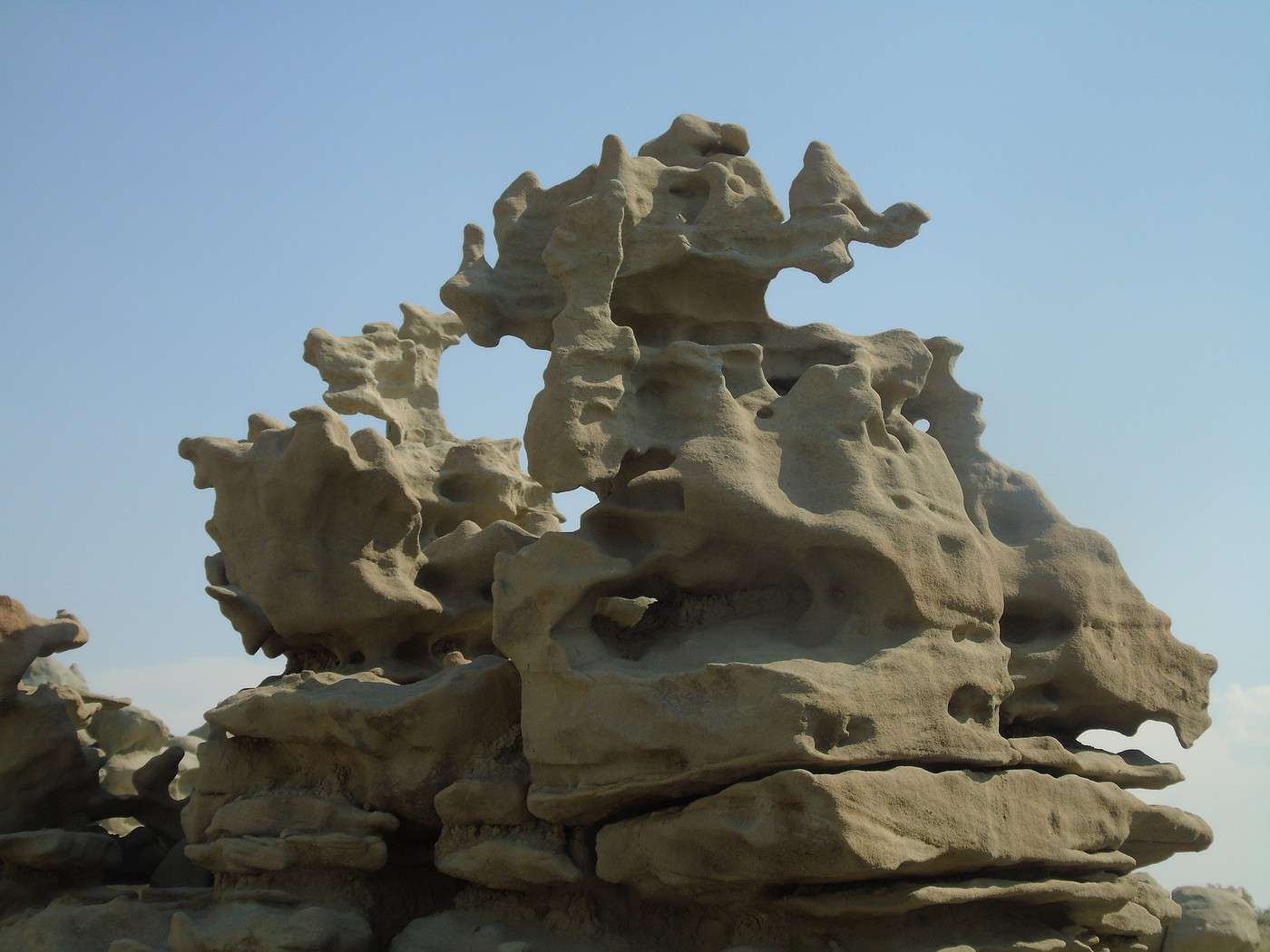
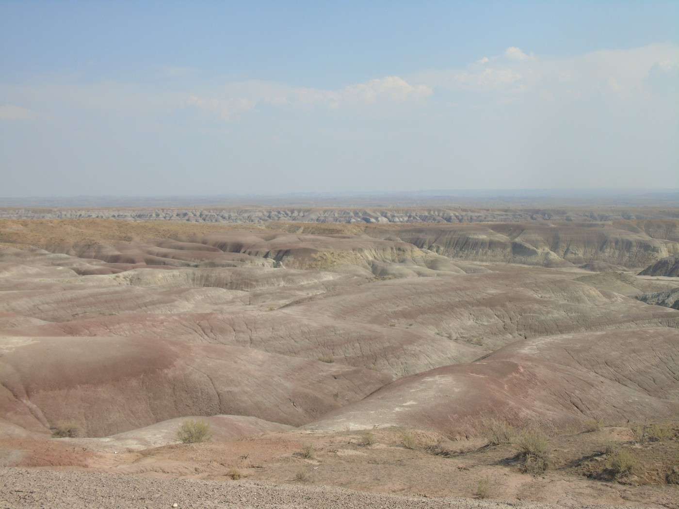

 At the end of the road, we do the Harpers Corner Trail (2.3 miles round trip, easy). The view is gorgeous, but it's a shame the visibility isn't better with a clearer sky.


 It still makes for a pretty long round trip.


 We stop at the various viewpoints along Rim Rock Drive. The rocks have such beautiful colors.


 We spot several bighorn sheep along the road.


 After stopping by the visitor center, where we learned that visibility was reduced due to a major wildfire further west in Colorado, we headed straight to High Point to do the Warner Point Nature Trail (1.5 miles round trip, easy). There too, some really pretty viewpoints and almost no one around.


 On the way back, we stopped at several viewpoints. It’s a stunning canyon, very deep and quite different from the others because of the color of the rocks.


 More pretty scenery, but the road—with several construction zones—felt *really* long. Plus, with the sunset, lots of deer were crossing, so we had to stay extra alert.

 Day’s recap: beautiful canyon, but a *very* long drive and not much hiking in the end. Looking back, we probably should’ve explored Colorado National Monument more with extra hikes and headed straight to Glenwood Springs.
Night at Quality Inn & Suites on the River: great, indoor pool, really good breakfast, comfy beds (130 €).


 On the way back

 The hike climbs a lot, but it’s manageable if you take it easy. The last section, the steepest part, has stairs installed.
Several benches are placed along the shaded trail that follows a river (4.5 km round trip, moderate difficulty).


 We push on to the waterfall just above. You can walk behind it.


 First stop at Lily Lake, which we quickly walk around. It’s pretty, and since we weren’t heading to the Bear Lake area, it was a nice way to take a stroll around a lake.


 We take Old Fall River Road—a great road in dry weather, accessible to all vehicles. We stop to see Chasm Falls. Meh.
 The road winds uphill with some lovely viewpoints. Two cars are stopped ahead of us, blocking the way. People are waving us down. We get out, and several elk are calmly resting in a meadow. We watch them for a while, but more and more people arrive, and the first cars are really taking their time, so everyone’s stuck.


 A few turns later, it’s a group of marmots blocking traffic. They’re huge!
We finally reach the top and stop to do the Chapin Creek Trailhead. The trail isn’t long, but it’s steep, and the altitude really hits you. The sky starts to cloud over—too bad for the views.

 More marmots, not shy at all.
 We stop at the visitor center, which also has a great view, then head back down the main road, making a few stops at the main viewpoints—but the sky’s gotten pretty overcast. On our way out, near Sheep Lakes, a crowd makes us stop. A bear—really far away and hard to spot, even with the binoculars someone kindly lent us (it took a while to explain where to look!)—was lounging on a rock.


