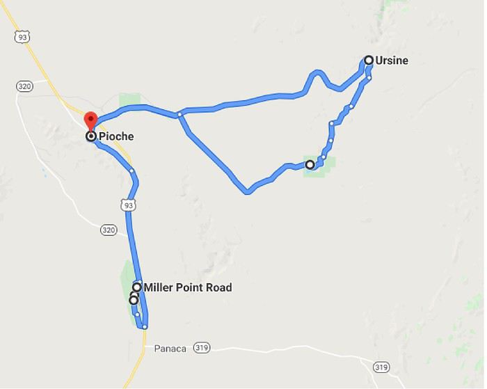
Day 16: Tuesday, May 28 (Zion National Park - Panaca )Route.
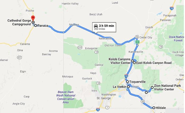
I planned to hike the "White Domes" above Hildale. If it wasn’t raining when I woke up, it had rained part of the night, and the forecast was bad for the day. I decided to check it out anyway; the rain started again before I left, but it stopped on the way down to "La Verkin." I took Route 59 toward Arizona—it climbs to leave the "Virgin River" valley and reach a plateau. Once on the plateau, I saw showers in the distance ahead. When I arrived in Hildale (it had started raining again), I followed the directions I had: "Utah Avenue," then "Water Canyon Road."
I headed down that trail—it was very muddy (hard to walk on), the hike was long (about 8 hours), and I’d have to cross "Squirrel Creek" early in the hike (was it even possible?). With the rain, I reluctantly gave up before reaching the "Squirrel Canyon Trail" parking lot.
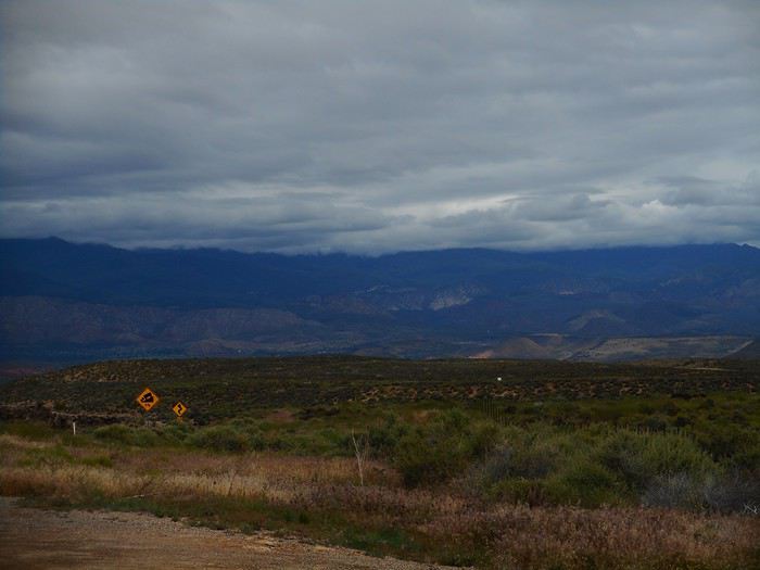
So, I improvised for the day. I went back toward "La Verkin" on Route 59, and the rain stopped. Just before descending into "La Verkin," I got a view of the mountains north of the "Virgin River."
In "La Verkin," there’s a small municipal park near the confluence of the "Virgin River" and "La Verkin Creek" called "Confluence Park." I checked it out, but the spot wasn’t interesting (no great view of the confluence).
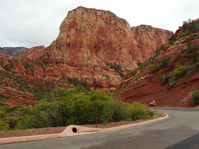
Since I was improvising, I decided to visit the northwest part of "Zion NP," called "Kolob Canyons." I stopped at the "Visitor Center," took the "Kolob Canyons Road" (a dead-end road), and drove all the way to "Kolob Canyons Viewpoint." This part of the park is at a higher elevation, so it was pretty chilly.
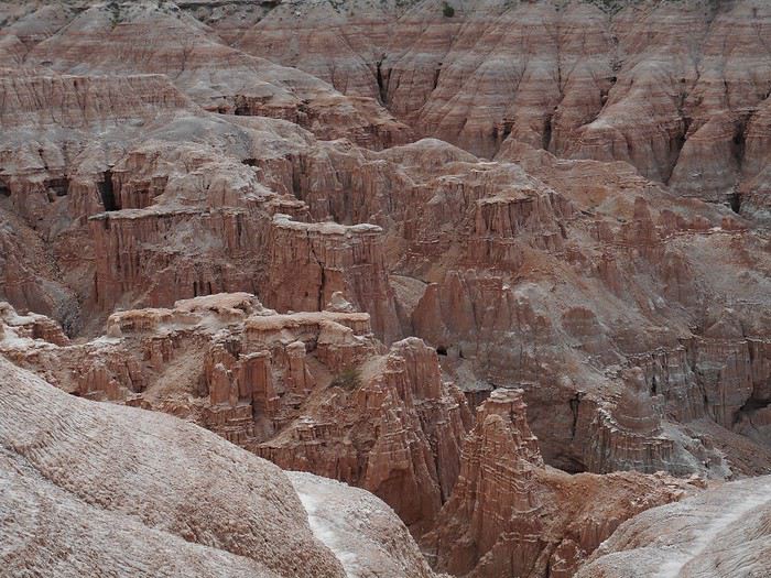
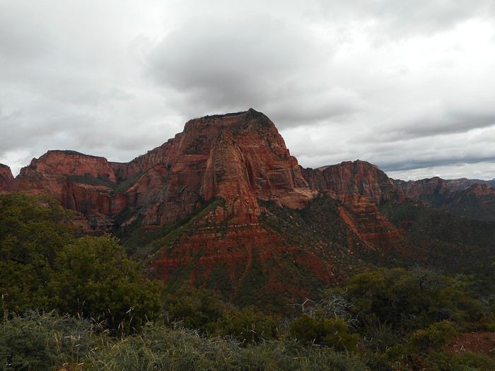
The "Timber Creel Overlook Trail" follows a ridge to a viewpoint (the trail was muddy but doable—logs and drier edges helped). Along the last stretch of the road and the entire trail, I enjoyed views of "Zion NP" to the east. There was an overview of the area with a narrow canyon in the center (this type of canyon is called a "finger canyon").
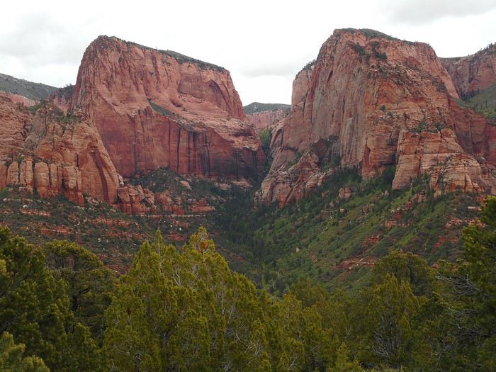
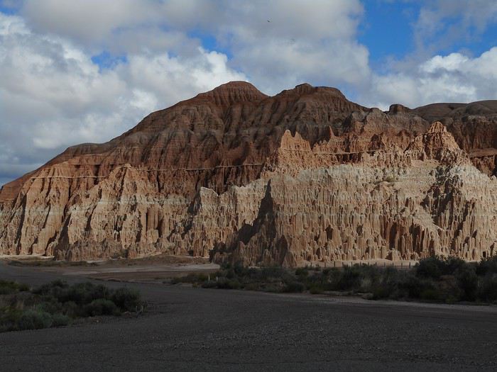
The main wall of the formation above.
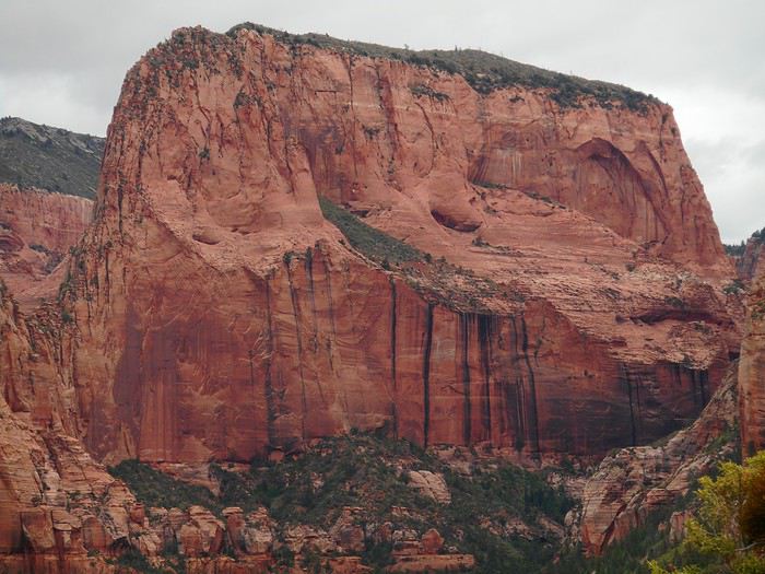
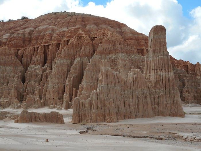
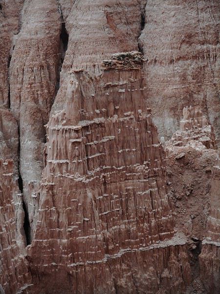
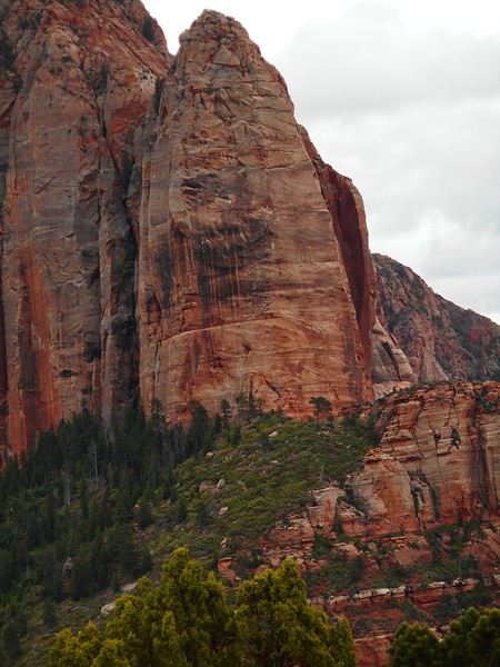
Another section with a spire (the first rock in the photo).
Here it is from another angle (it’s not vertical).
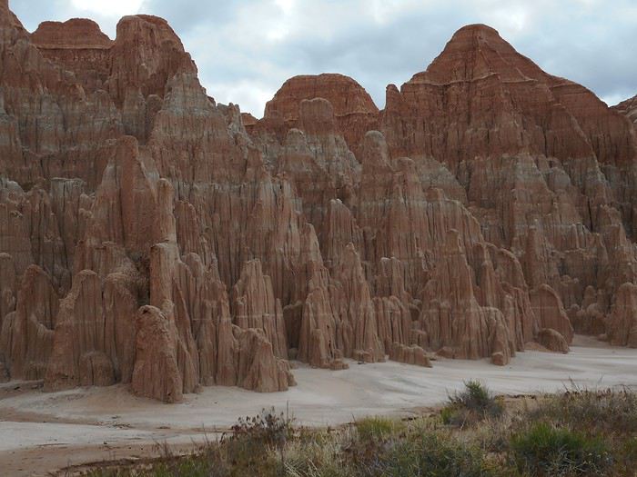
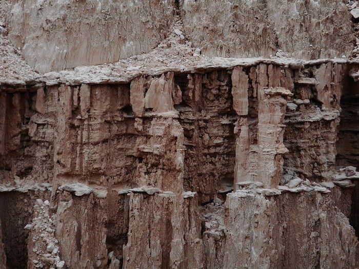
Another area of "Kolob Canyons."
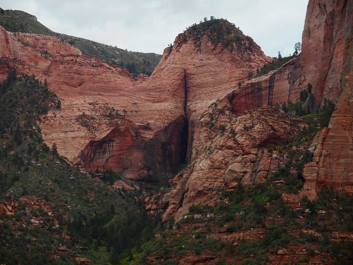
A unique feature in "Zion NP": water and wind carried particles (dirt or other materials) into a completely mineral area. Vegetation took root, and over millennia, a "hanging garden" formed in an unlikely spot. I only saw this one, but apparently, there are others in the park.
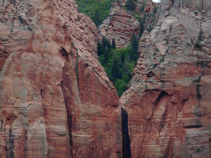
On the way back, I stopped several times near where the road crosses "South Fork Taylor Creek"—another "finger canyon."
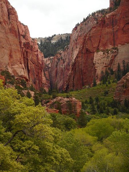
The sky cleared, and a little farther down the road, I set off on the "Taylor Creek Trail (middle fork)" hike, knowing I’d only have time for part of it. The trail descends near the creek and follows it upstream, with many stream crossings. Normally, it’s probably just a trickle of water, but today, I had to hop from rock to rock to cross. The trail was nice, and you could tell it would lead into a canyon—another "finger canyon," according to the info.
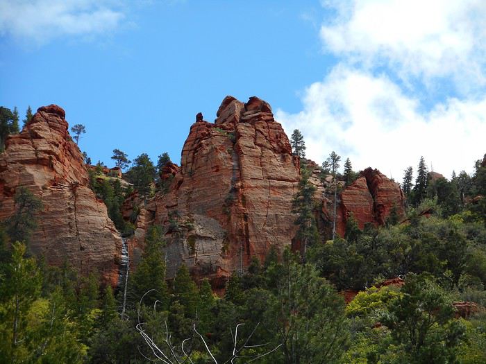
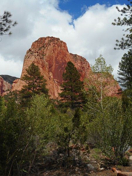
I didn’t go all the way to the canyon section and turned back at "Larson Cabin." The sky clouded over again.
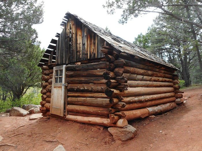
I got back in the car and left the park a few minutes later. I took Interstate 15 toward "Cedar City" and, before reaching the city, saw a downpour hit the "Kolob Canyons" area behind me.
All that was left was to head to Panaca (Route 56 in Utah, then Route 319 in Nevada). The whole drive had HEAVY showers—sometimes to the right, sometimes to the left, sometimes right overhead... a lot of rain. Between Panaca and the intersection with US 93 (about 2 flat km), the cattle in the fields were wading through what was basically one giant puddle.
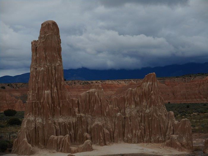
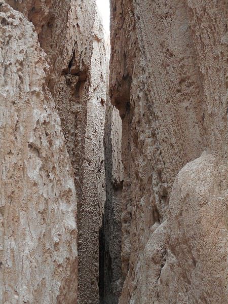
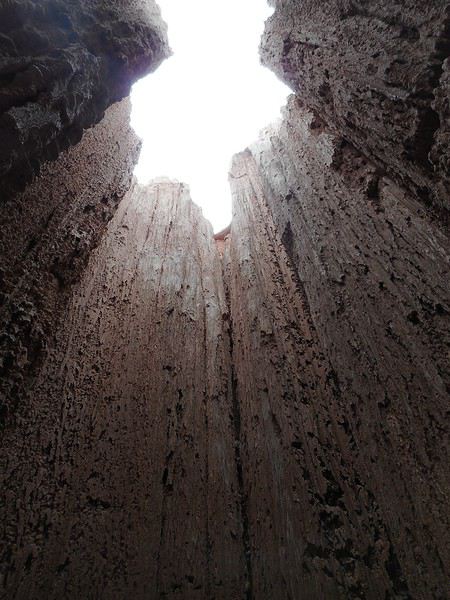
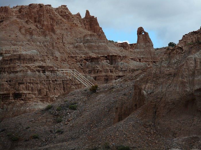
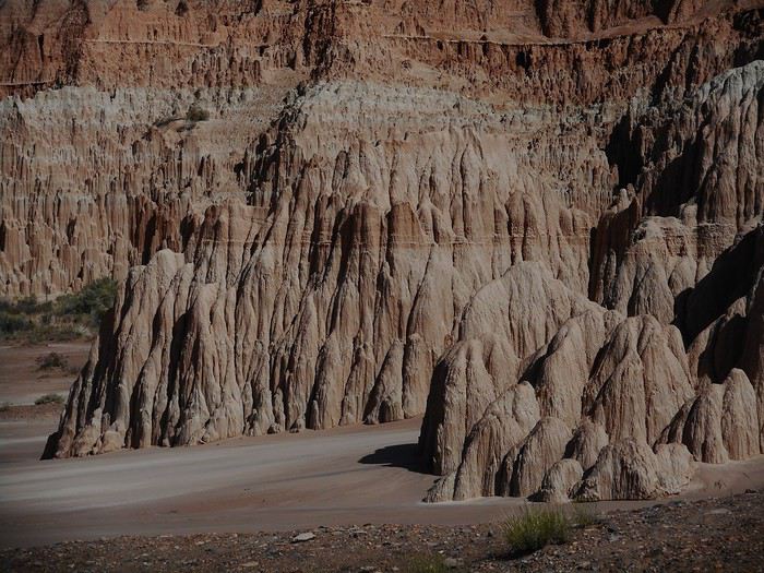
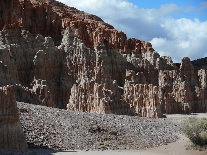
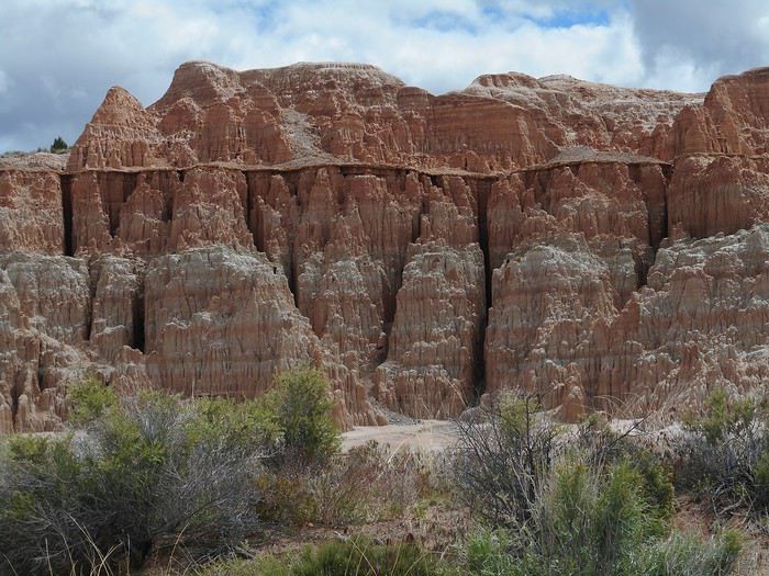
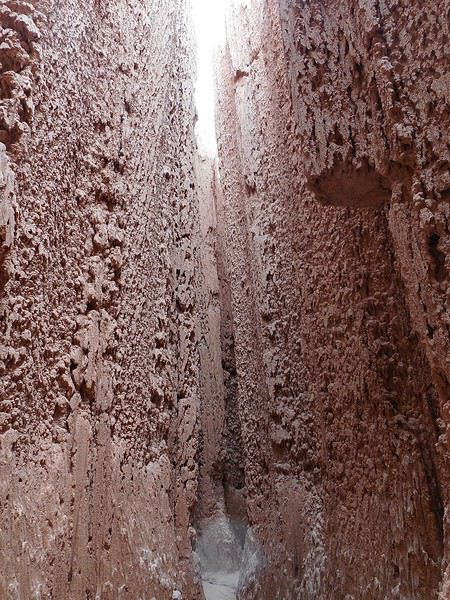
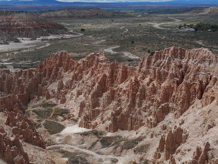
The campsites at "Cathedral Gorge State Park" (4 km from Panaca) were pretty well placed and/or designed (except the ones near the entrance, which were unusable). I found a spot where I could pitch my tent in decent conditions, maybe because there were very few other campers (it had stopped raining by the end of the day).