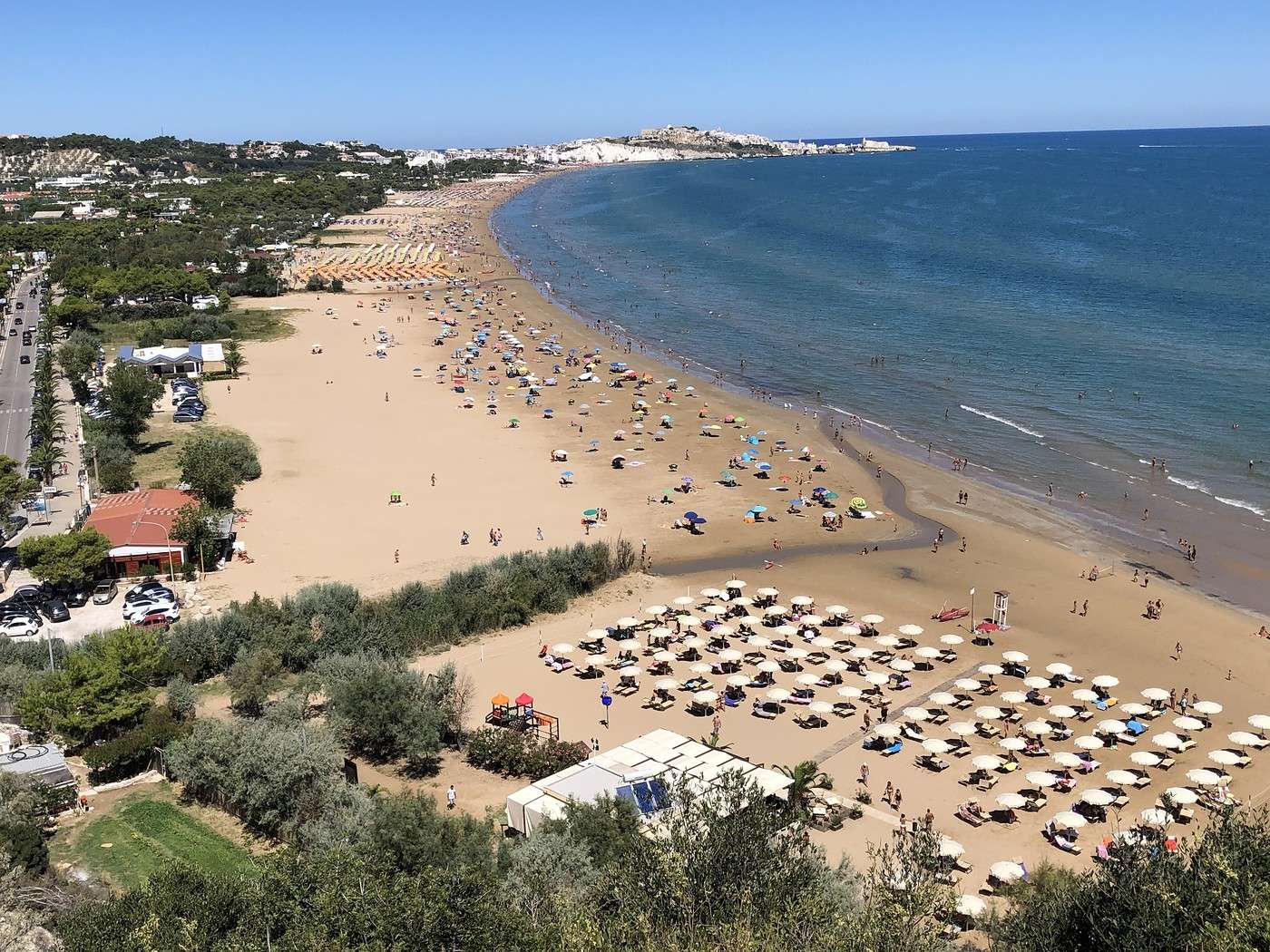
Matera: the sequel (and end)
This morning, we headed to the Belvedere della Murgia Timone, in a natural park that houses rock-hewn churches, on the other side of the ravine.
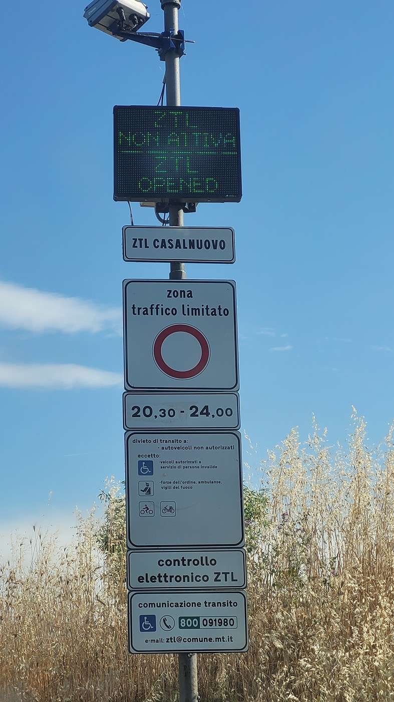
We faithfully followed the GPS, which took us through a ZTL (open).
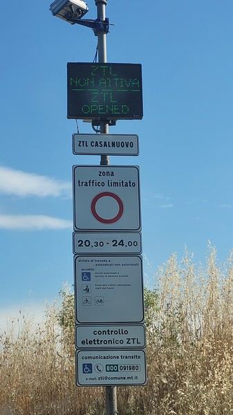
Strange, but okay…
So there we were, zooming down the narrow, cobbled streets of old Matera, like James Bond in *No Time to Die*… Uh, is there a bridge to get to the other side???
Not at all! Gmaps took us to the belvedere *in* Matera itself !
I double-checked the address (Mariella had even sent us a screenshot)—I’d entered exactly the same thing as her! …Maybe if we put “parco della Murgia materana,” we’d find the right road…
Sure enough, there were even direction signs (for the parco)… we were on the right track 🙂.
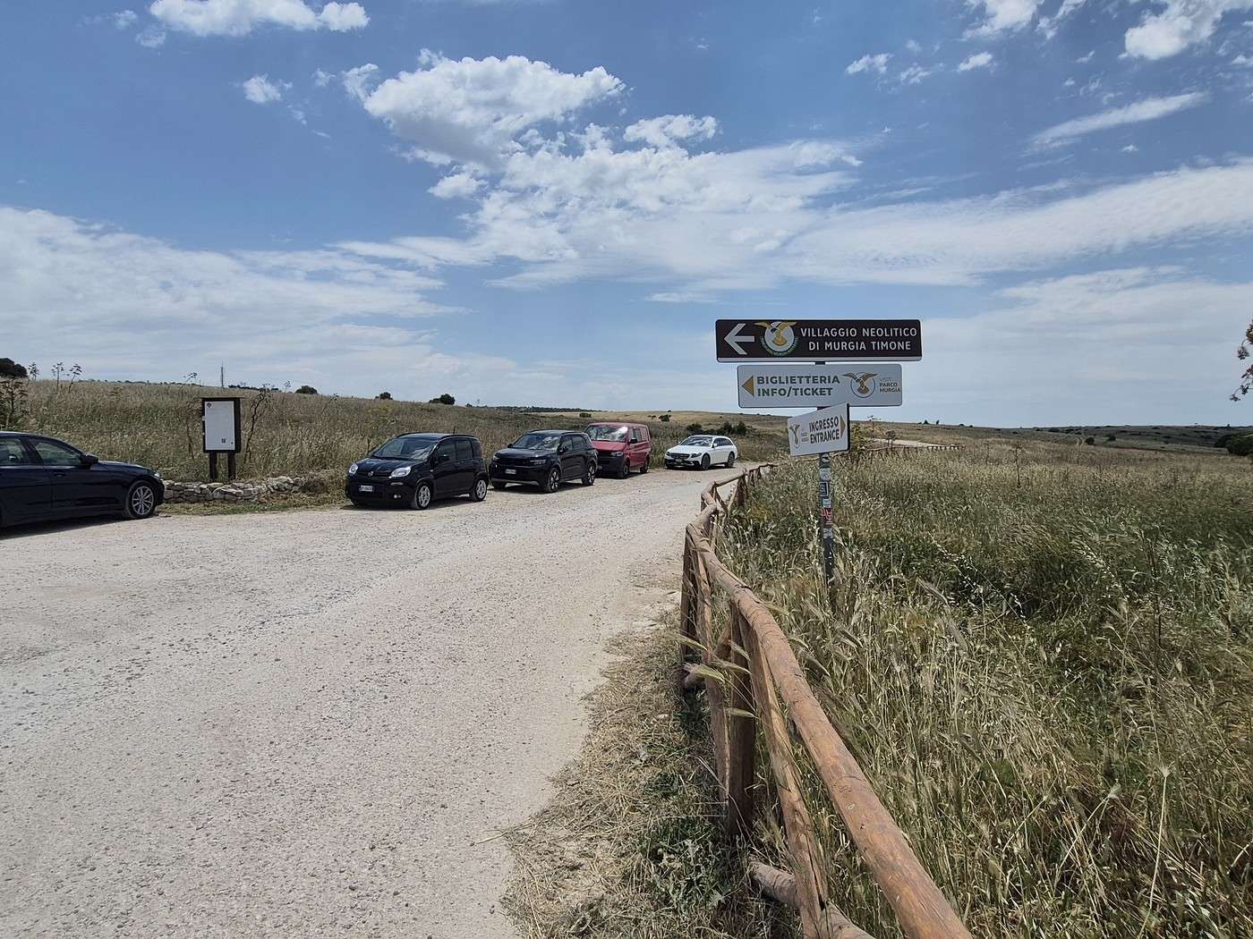
The pavement ended shortly after a small parking lot with a building in the back, where 2 or 3 cars were parked, and from there, a dirt track continued. We wondered if this was the right place—no other indication except “villagio neolitico.”
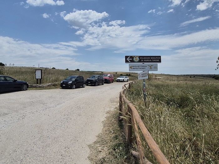
Photo taken before leaving: there are more cars now
Just then, a car overtook us in a cloud of dust (definitely a local, judging by the speed 😎)… maybe we should keep going…
And so we drove.
On the dirt track.
In a cloud of dust.
For kilometers.
We *were* in the natural park—right in the middle of it, in fact… but we were getting farther and farther from Matera .
Better to turn back to the parking lot from earlier, even if it wasn’t the right spot—they could probably give us directions.
And it *was* the right place!
But still very poorly signposted .
On the way back from our visit, we saw a few cars in the parking lot whose color (uniformly dusty beige-gray, replacing their original color) told us we weren’t the only ones who’d gone too far 😛
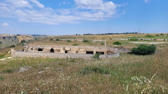
A paved road, closed to cars (except for the shuttle), leads to the actual site. There isn’t a single tree or shrub, and in summer, the heat must be crushing.
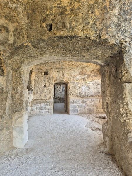
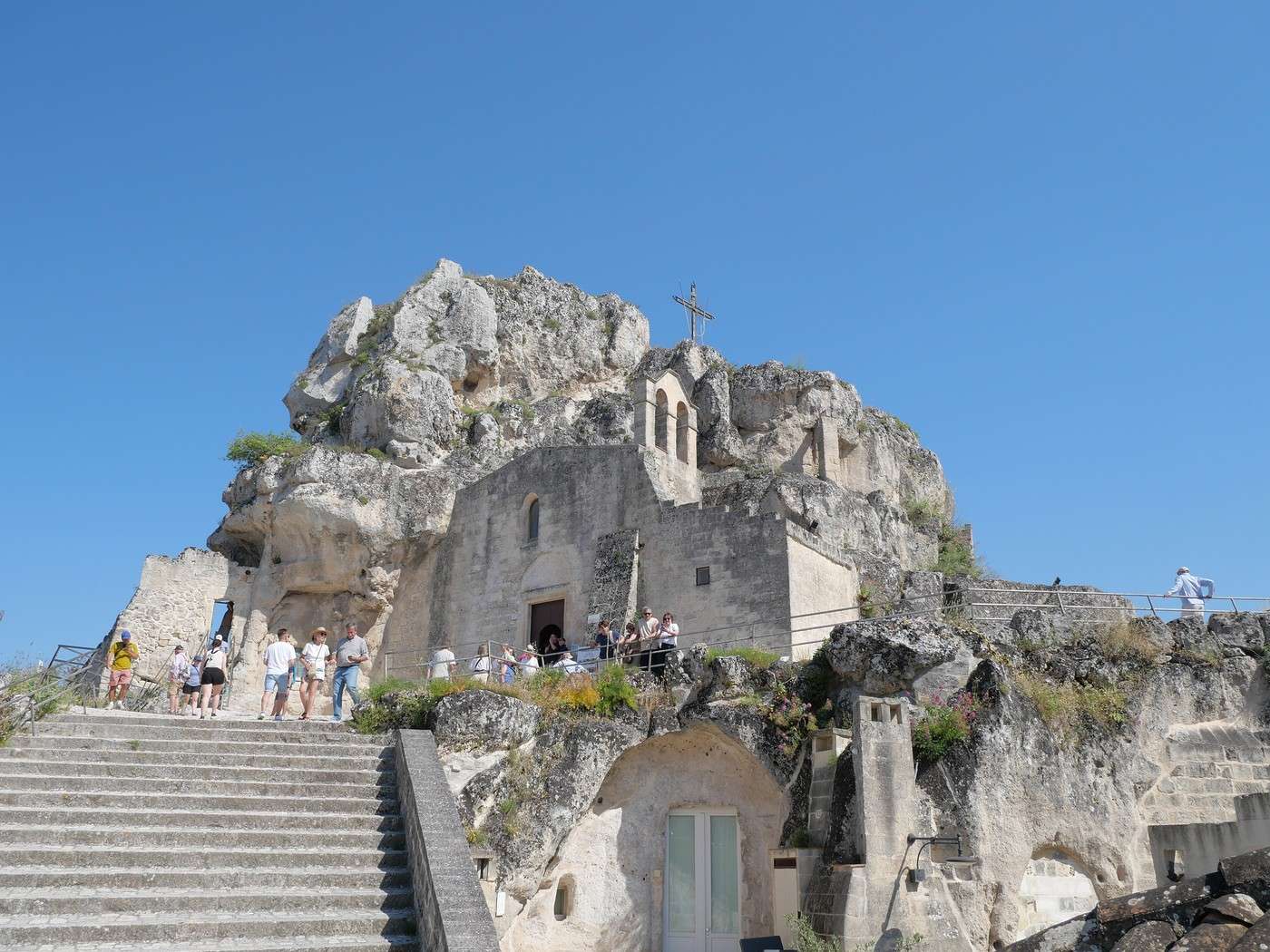
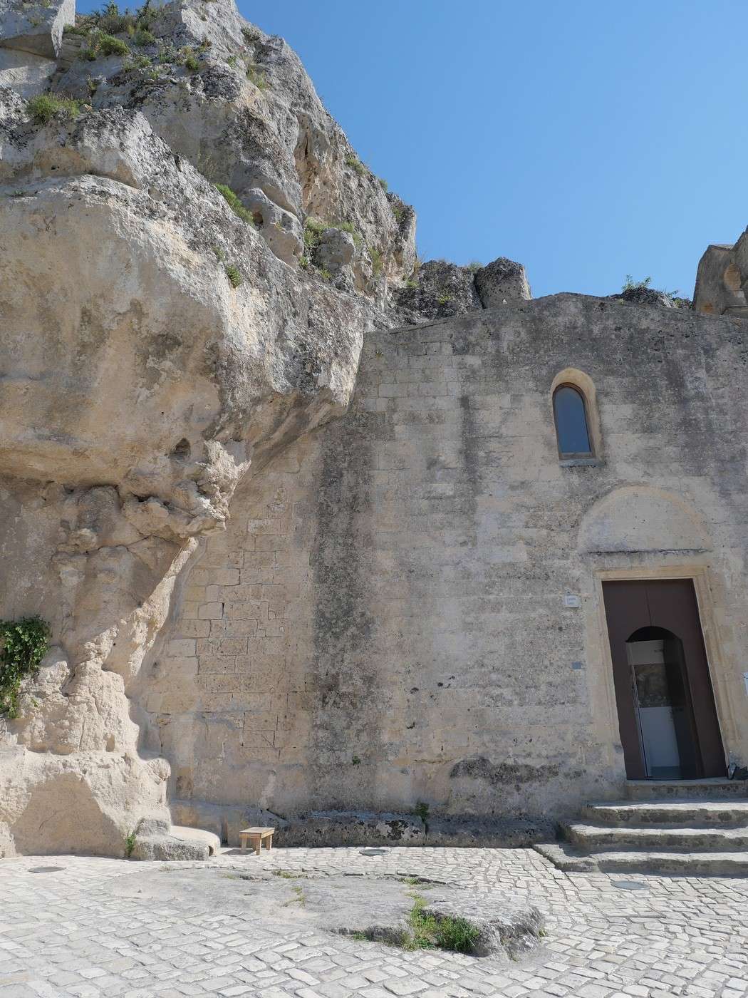
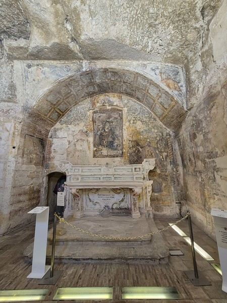
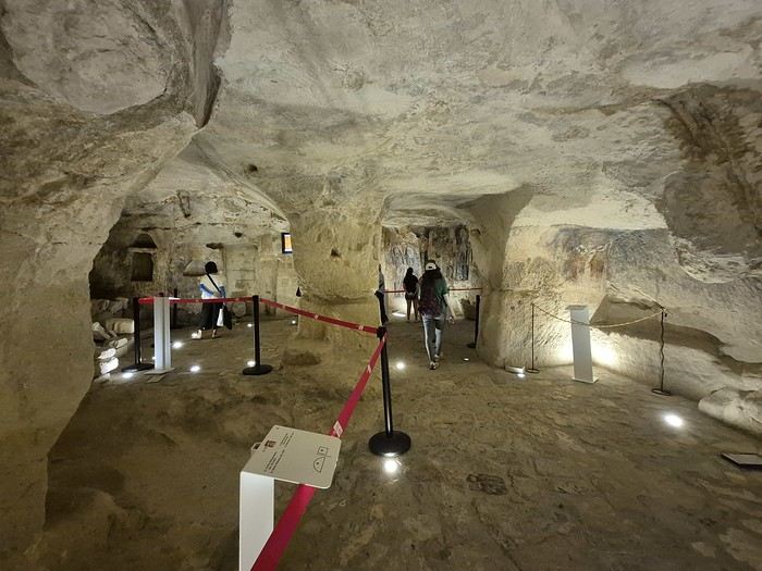
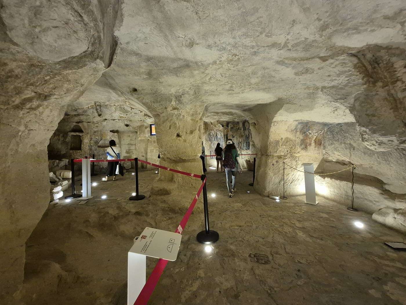
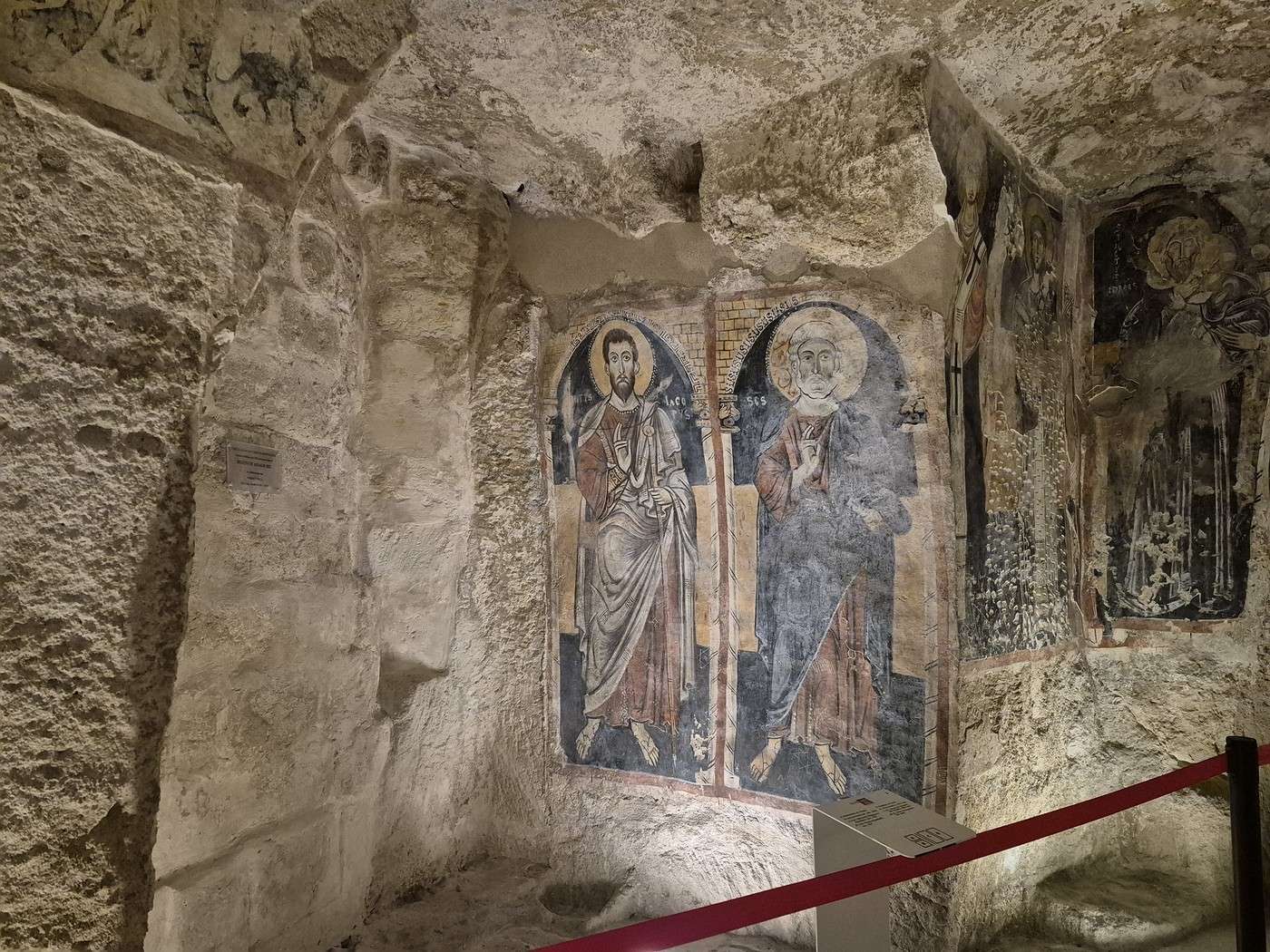
Well, the rock-hewn churches were closed, the lady at the reception told us—except for one. No map was given with the entrance ticket, and along the trails, identical signs kept telling us we were in the *parco della Murgia* (oh, really?) but with no “you are here” or mention of the different churches, so good luck figuring it out… .
We *did* bring a map, but it wasn’t very precise.
Anyway, once again, we kind of went where the wind took us, following various trails along the ravine.
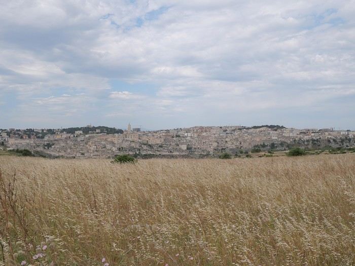
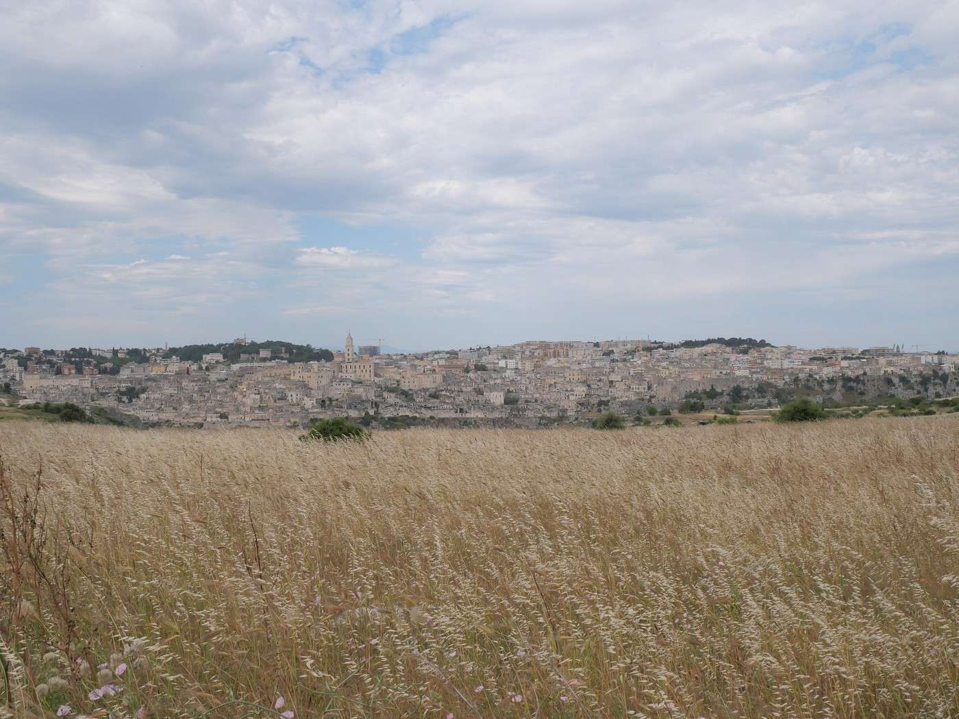
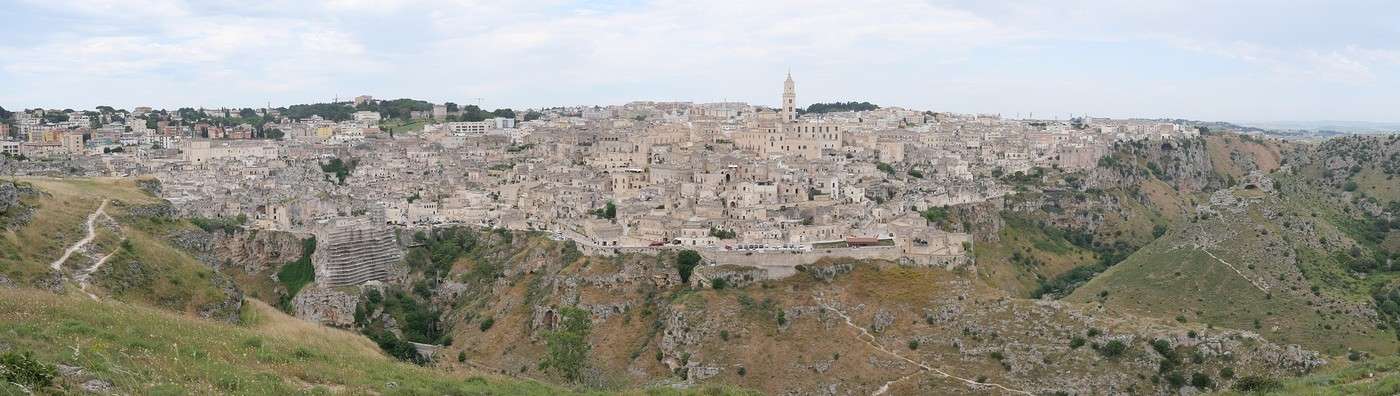
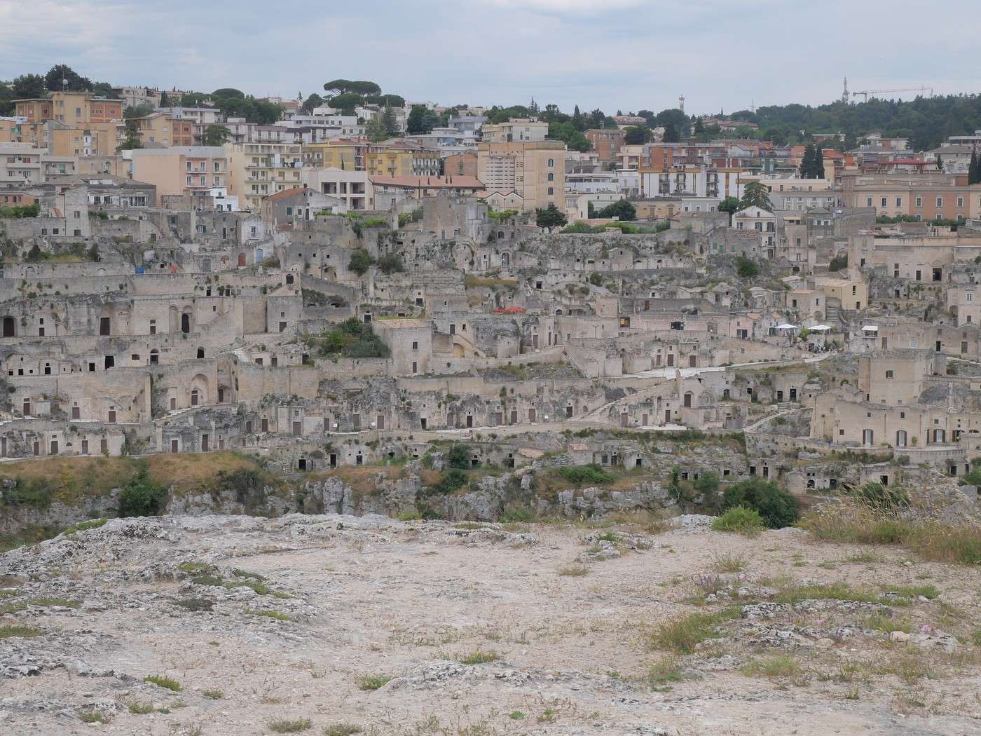
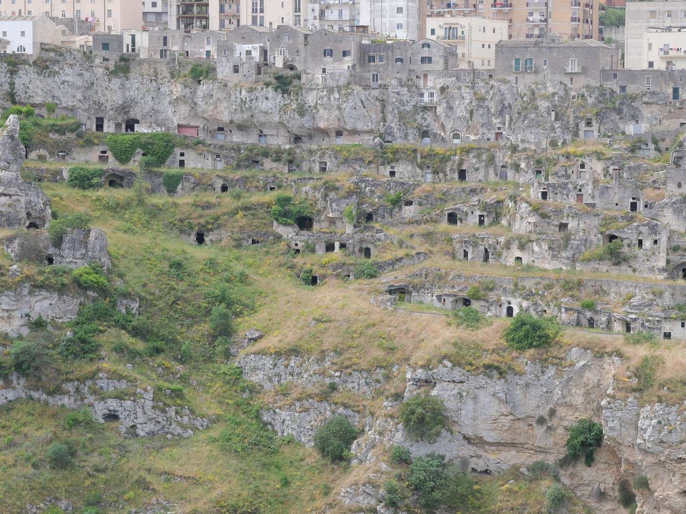
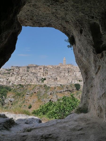
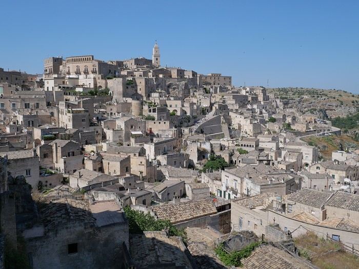
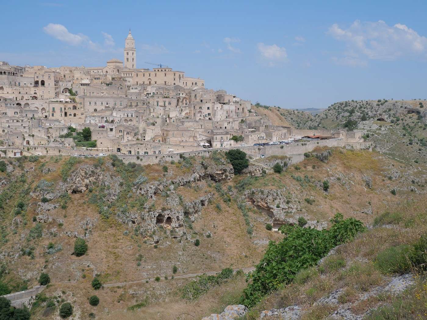
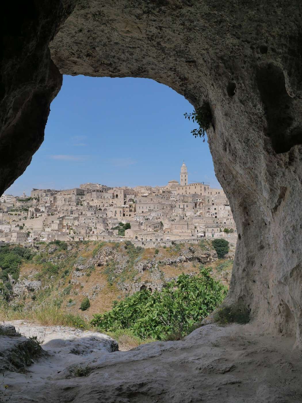
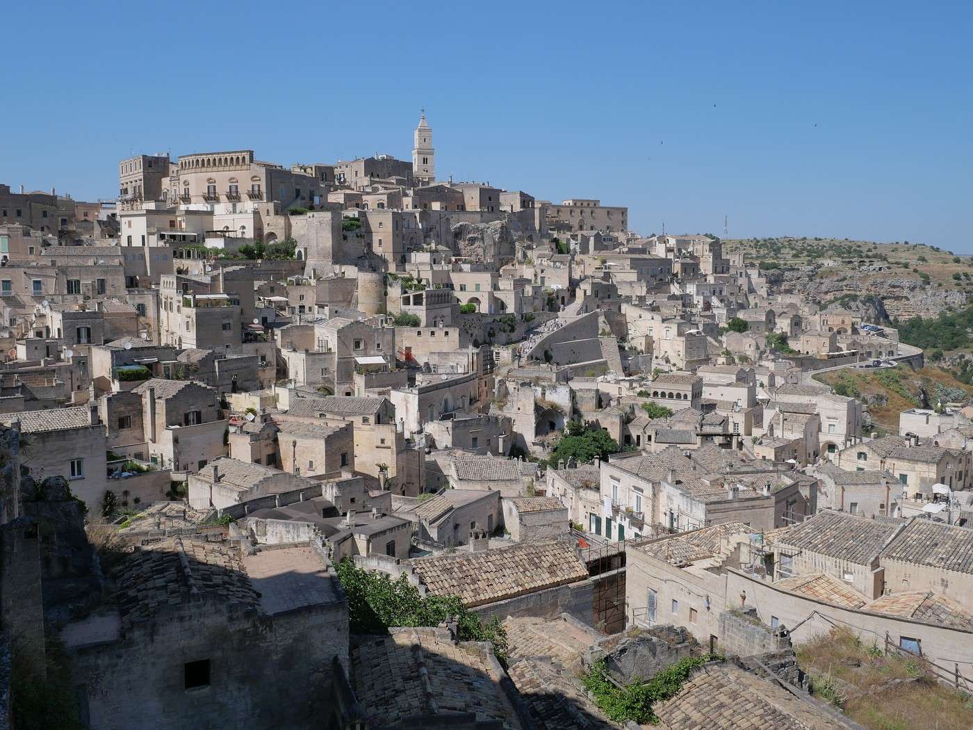
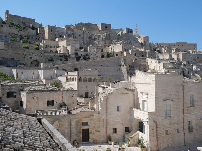
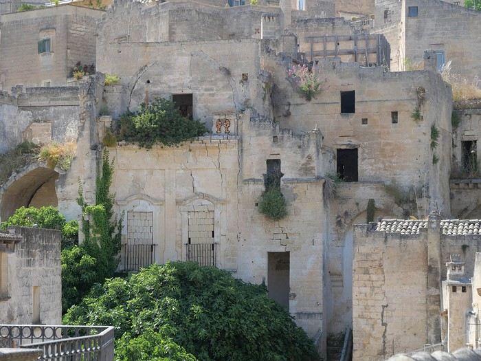
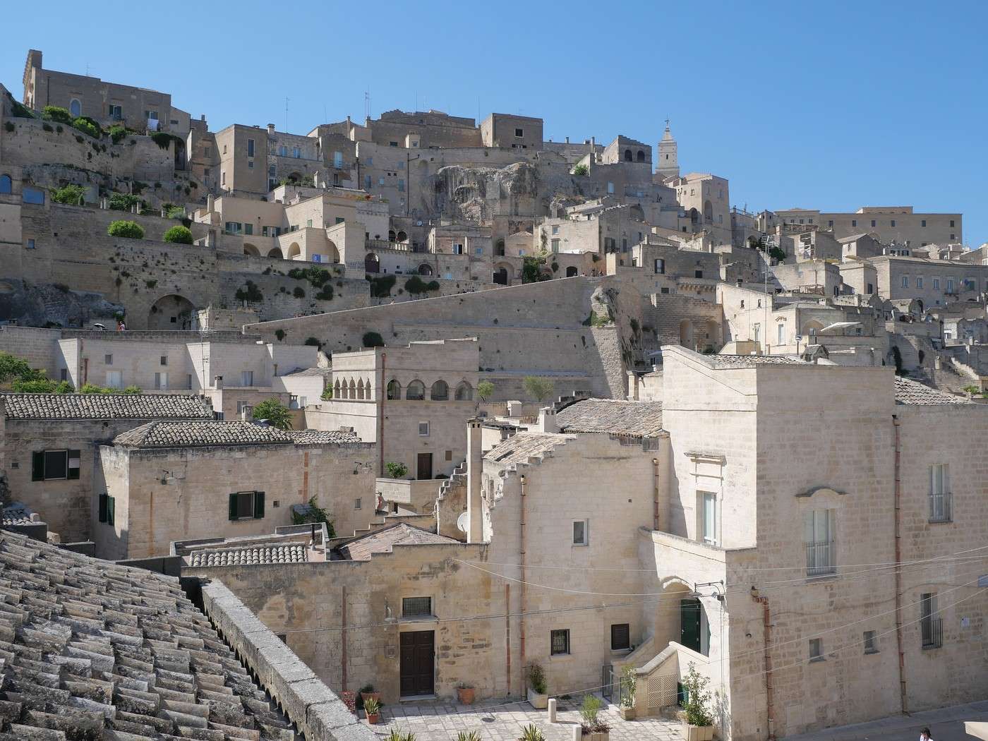
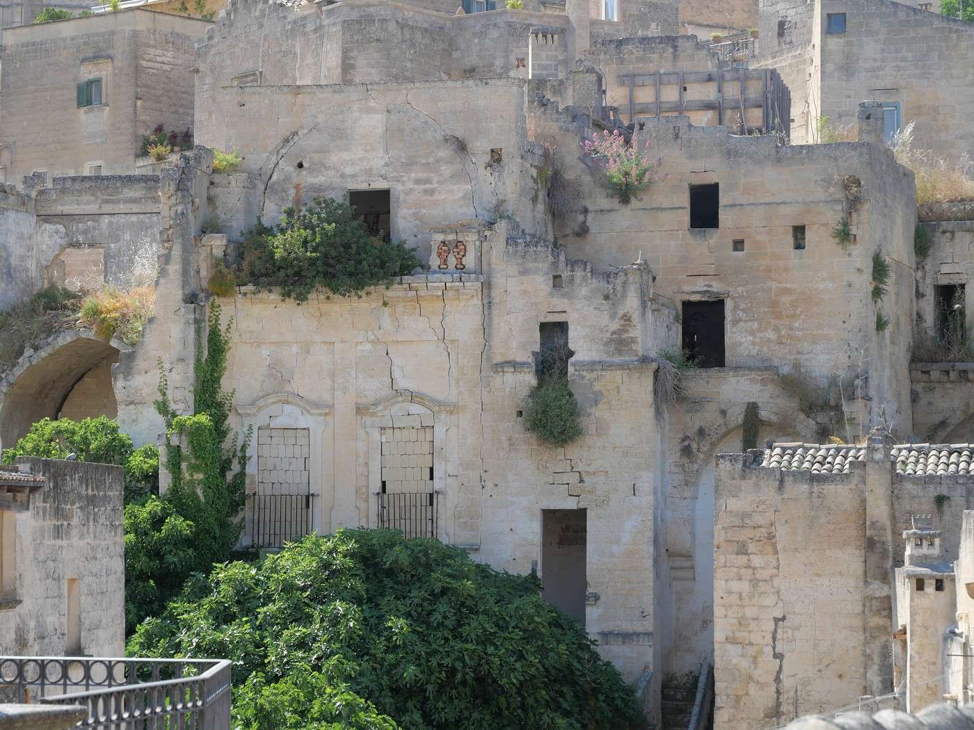
Some great views of Matera along the cliff:
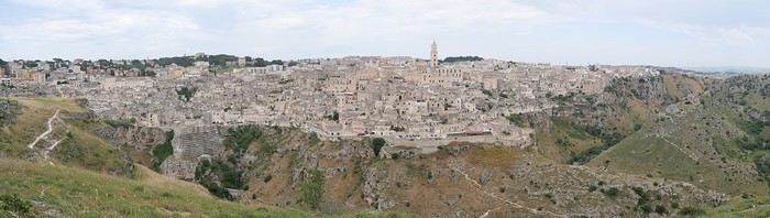
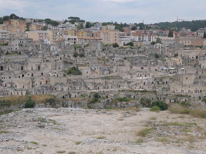
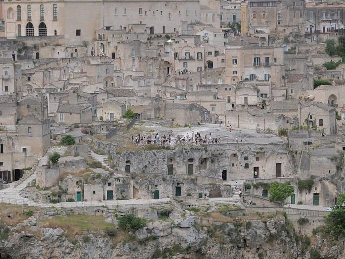
From this side, you can clearly see the openings carved into the rock for the dwellings.
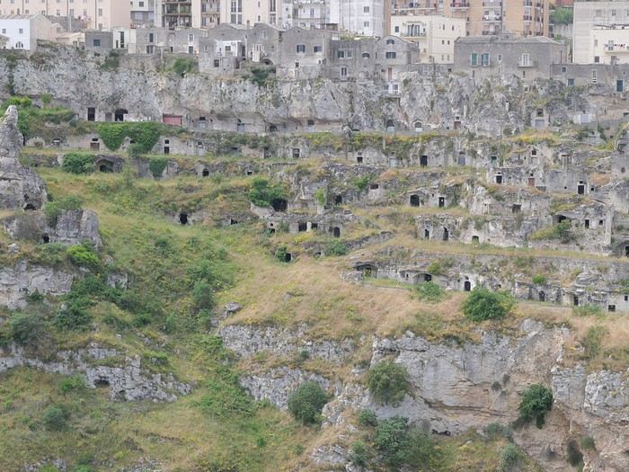
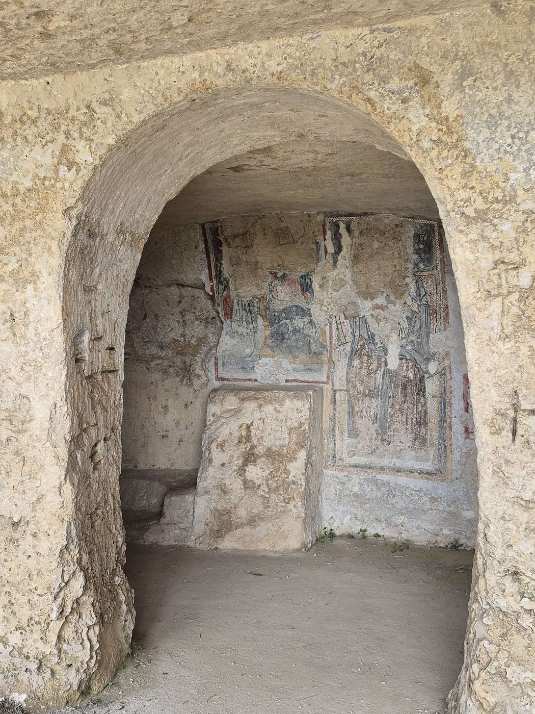
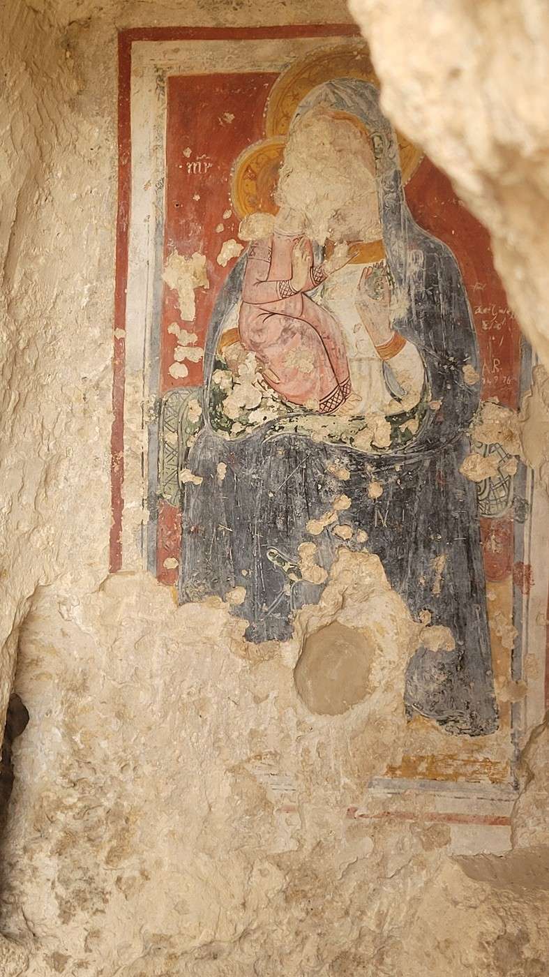
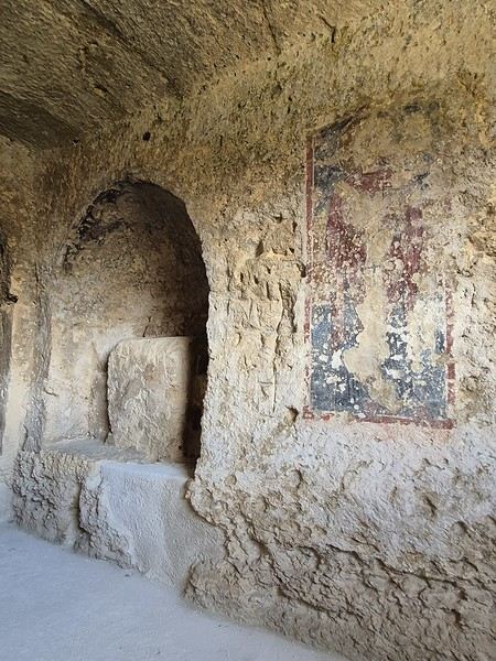
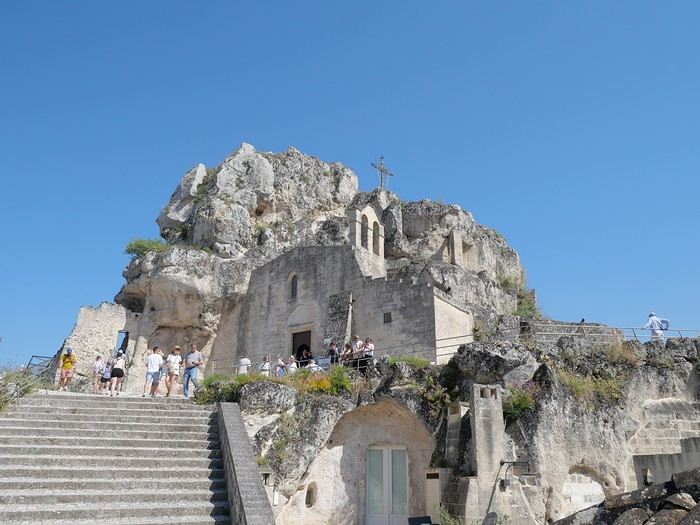
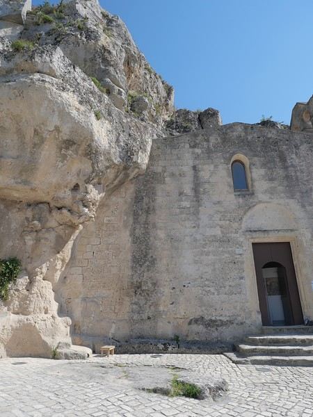
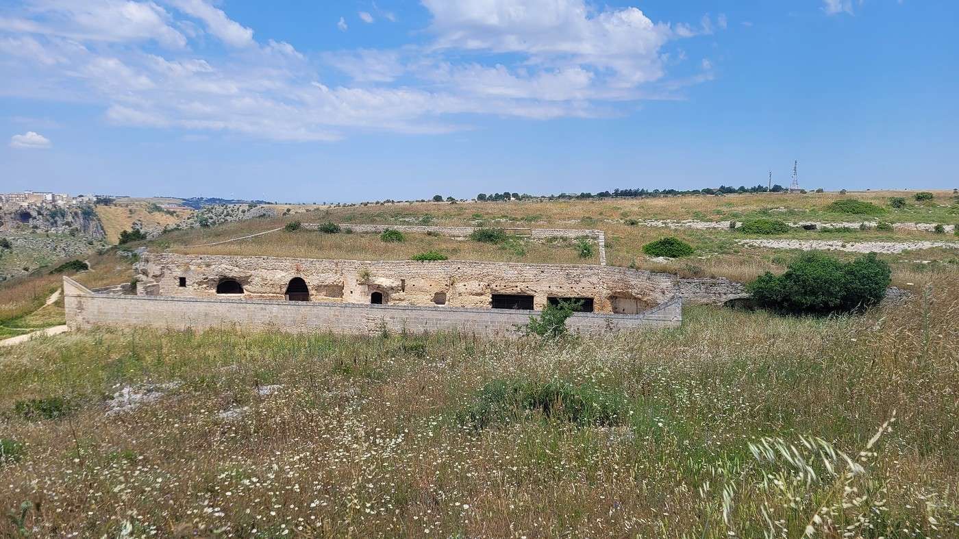
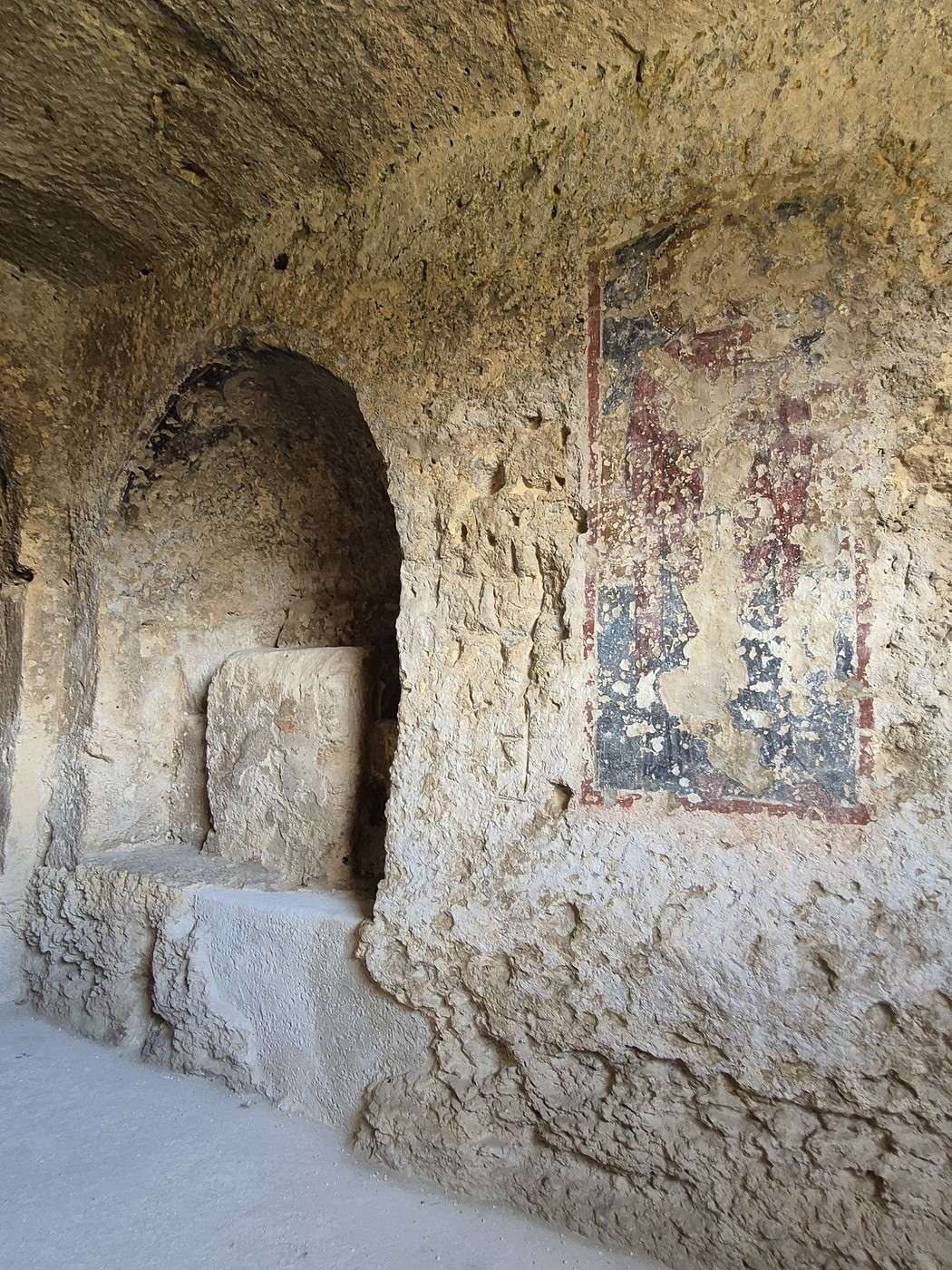
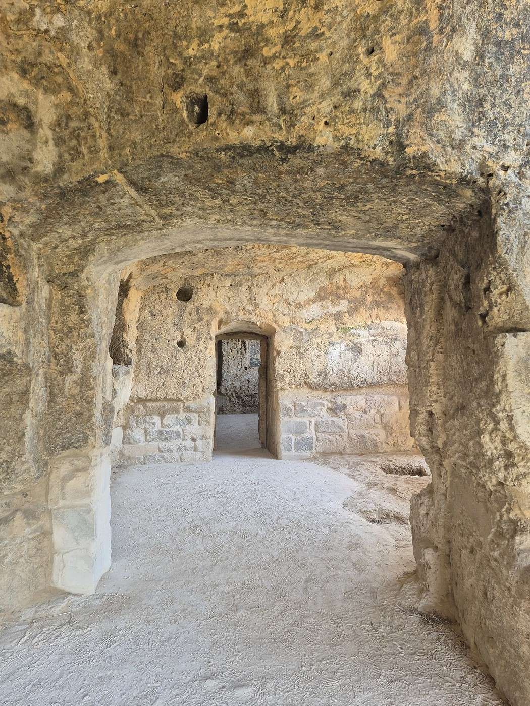
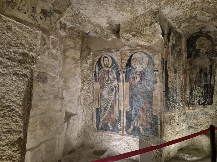
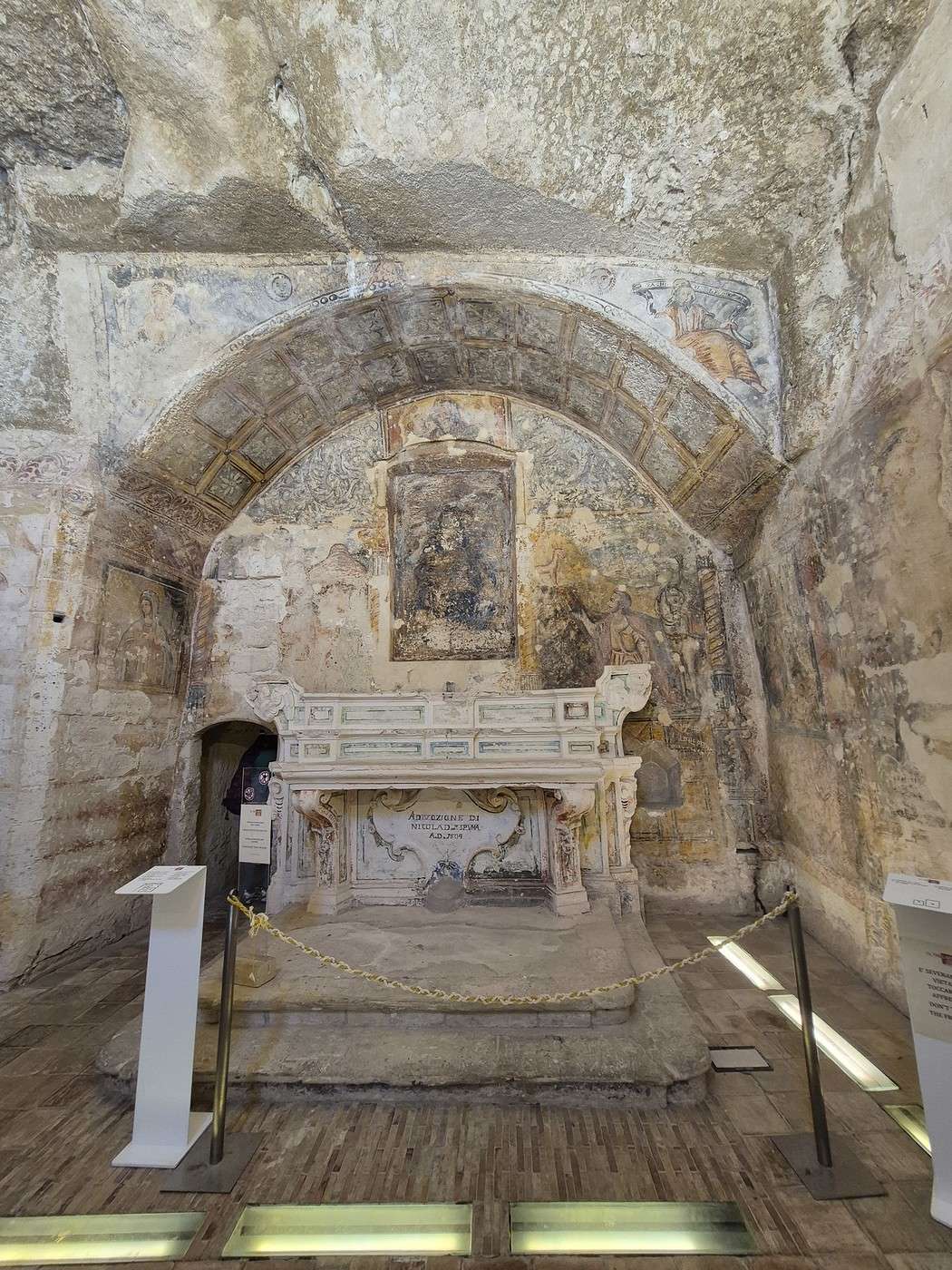
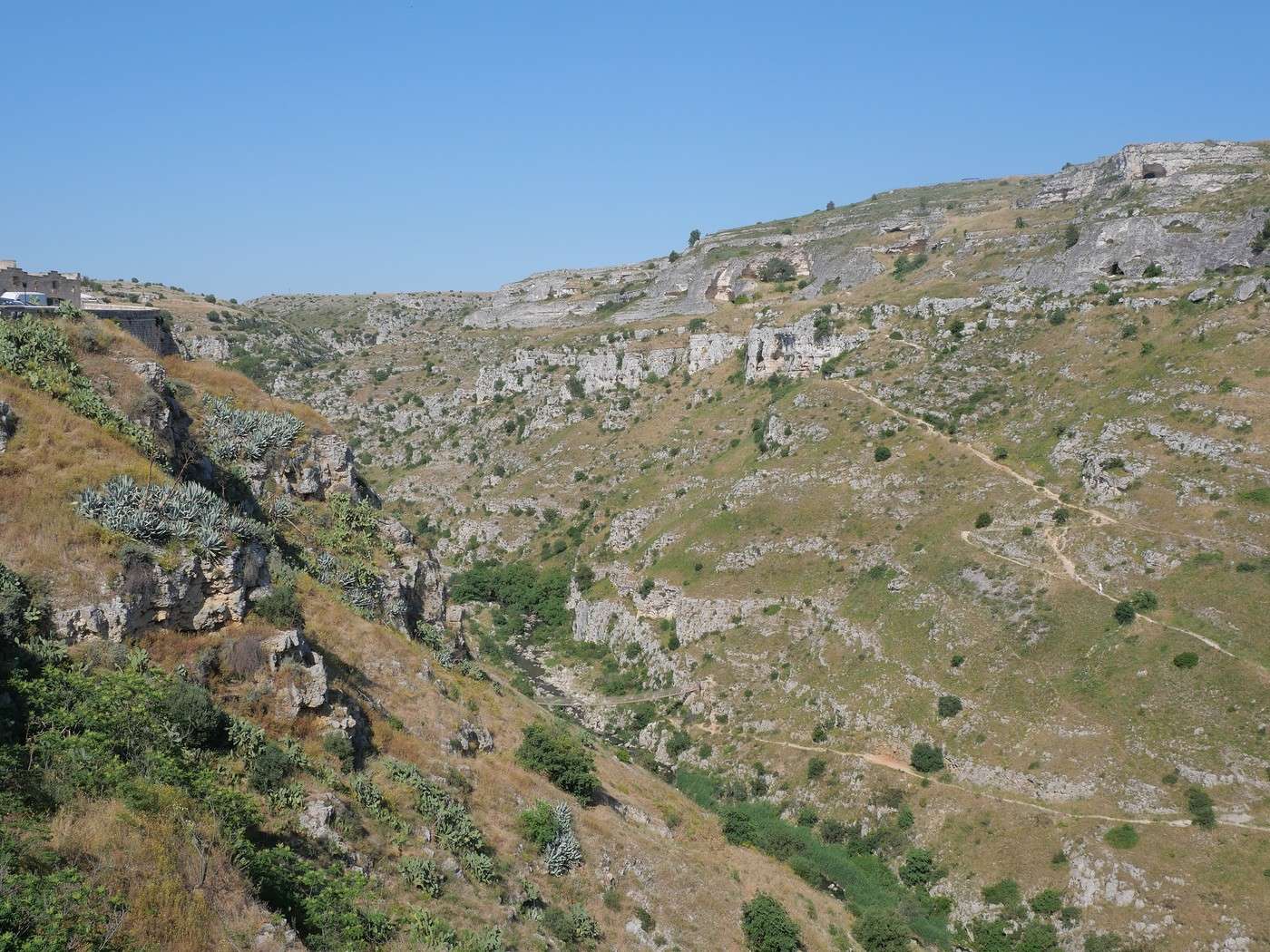
A lower trail leads to the entrance of the hiking path that connects to Matera via a Tibetan bridge and to the church of Sant’Agnese (or maybe it’s the *delle Tre Porte* one)—closed, of course, but you can glimpse some paintings through the bars.
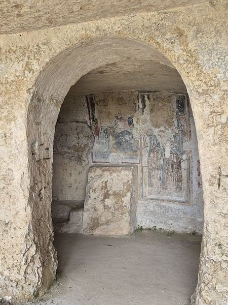
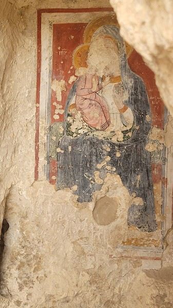
I still have too many photos to post to wrap up this story—the *real* end will have to wait until tomorrow [;]
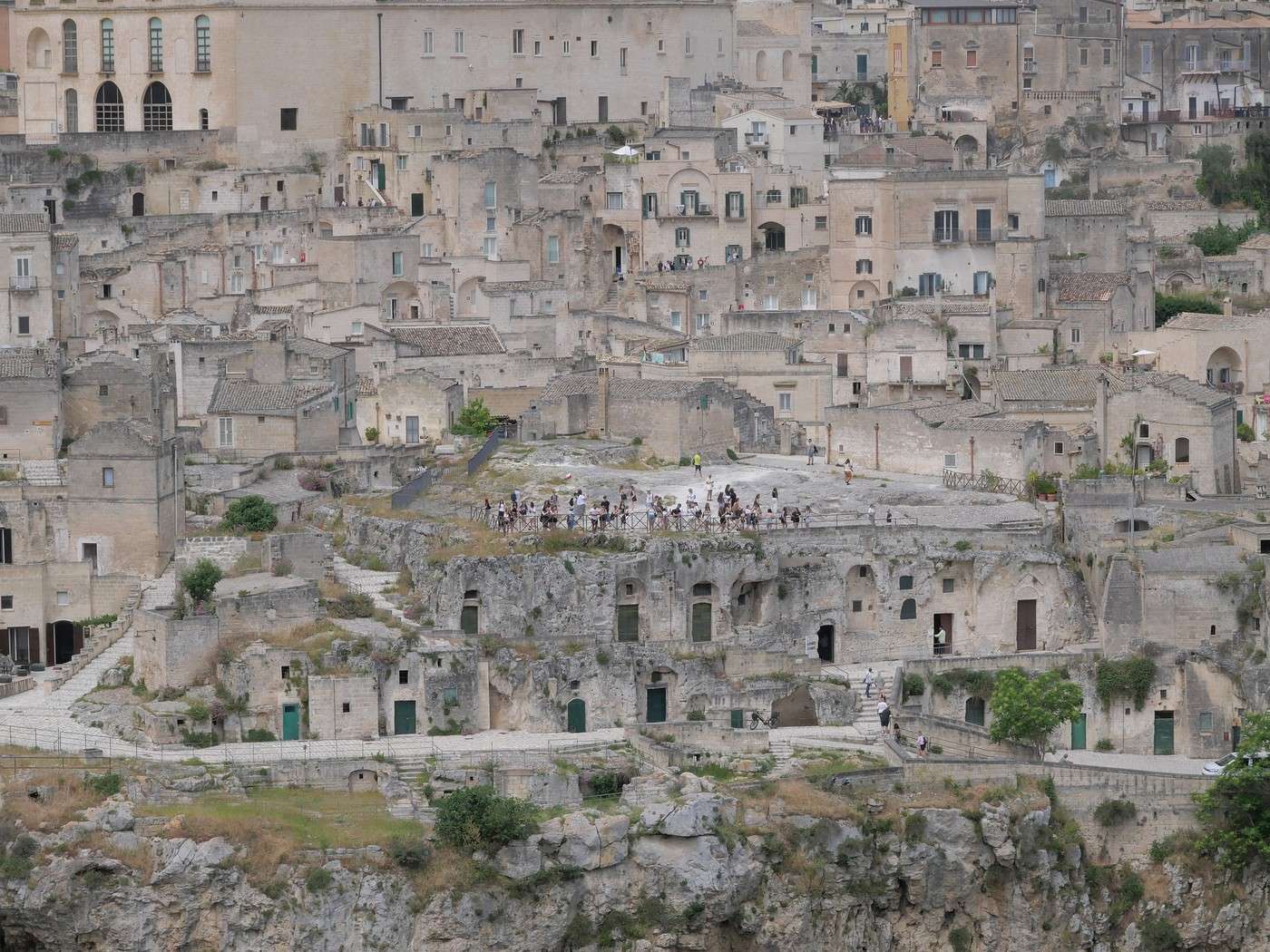
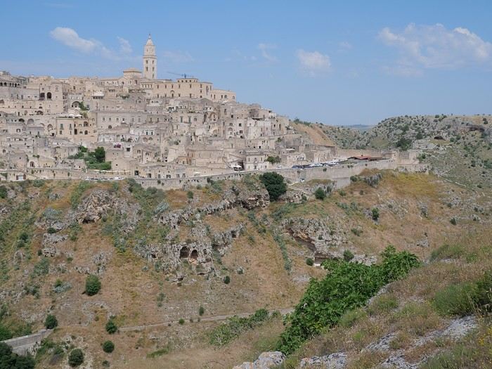
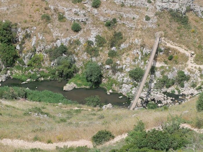
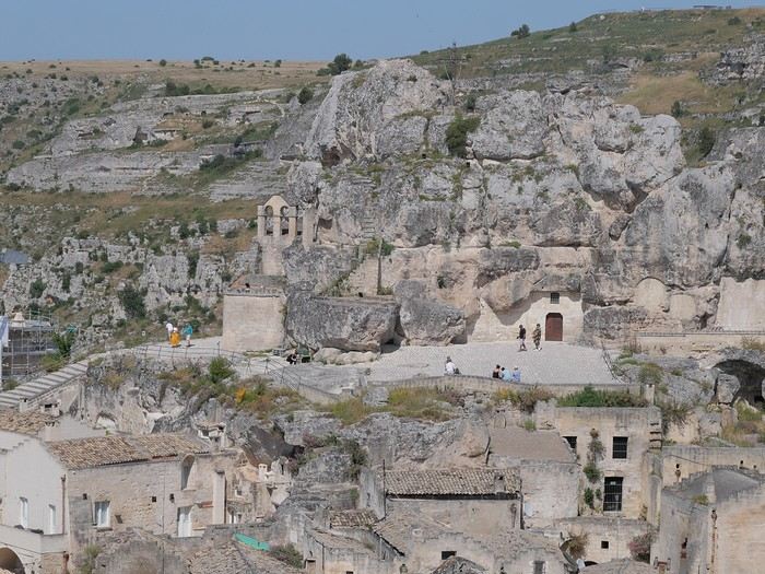
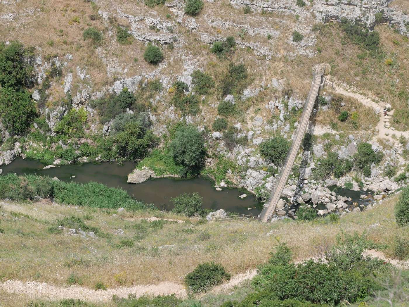
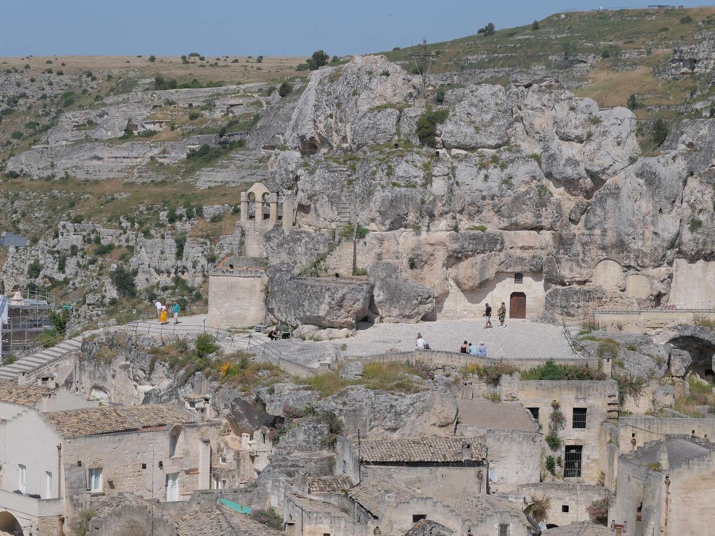
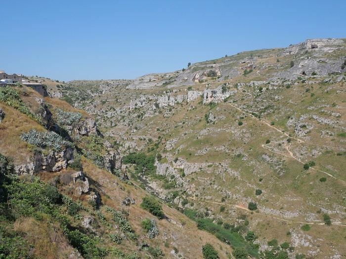 You can just make out the Tibetan bridge at the bottom center
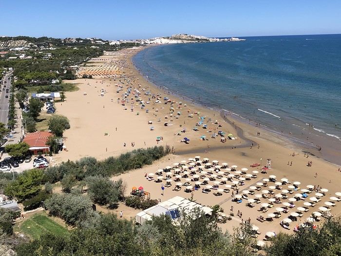 Vieste, its beach, its umbrellas 😎