Devils Tower.
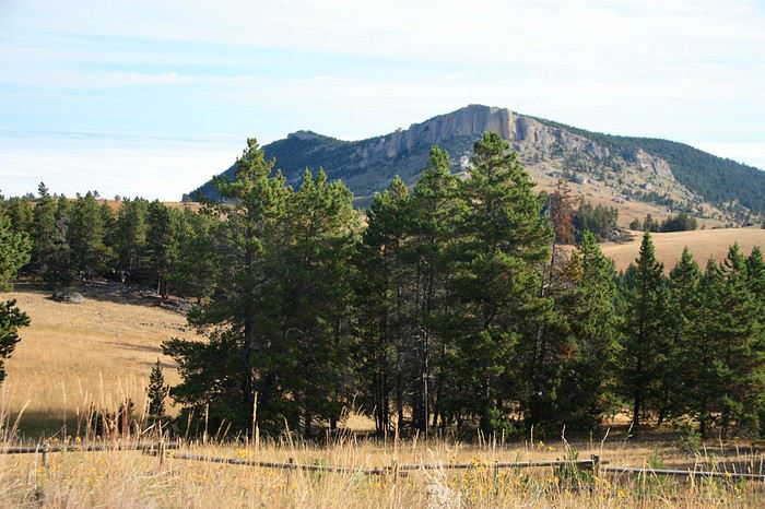
We leave this little town that feels stuck in the Far West era, and after a few kilometers through beautiful forests, we see it standing out in the distance amidst the prairies.
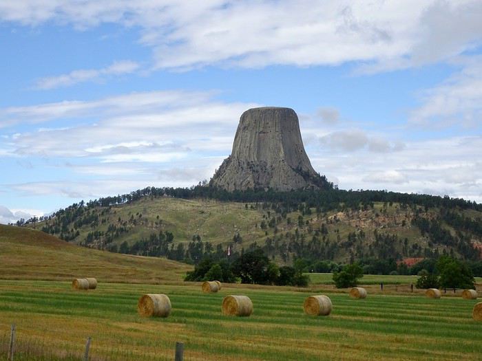
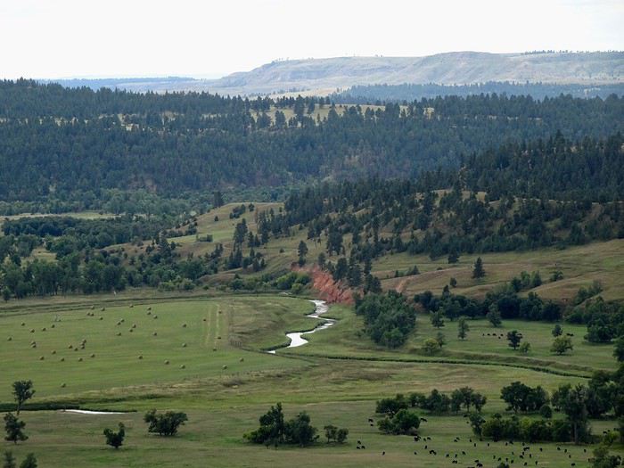
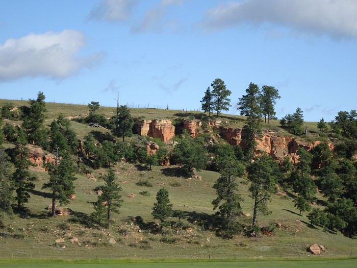
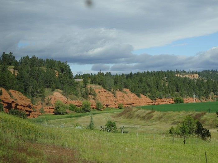
Before arriving, the landscape is stunning, and we spot the red sandstone cliffs we love so much towering above the green banks of the Belle Fourche River.
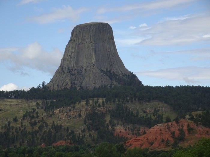
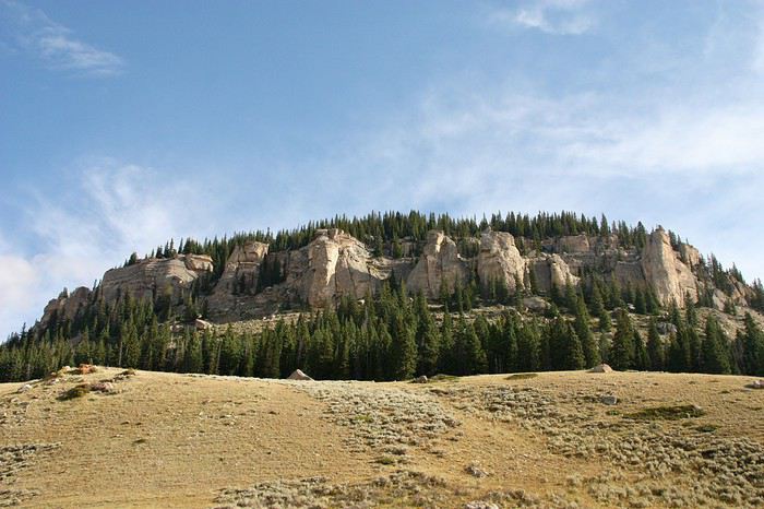
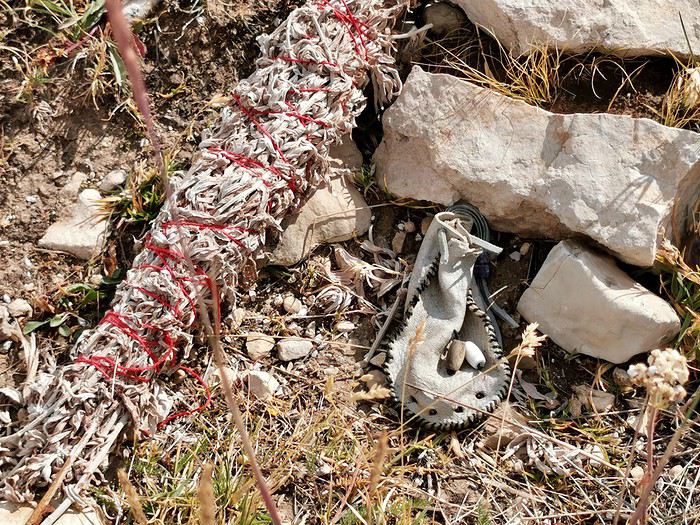
This 265-meter butte, made of hundreds of gray columns with golden reflections, is a sacred site for Native Americans. We even see offerings all along the Tower Trail.
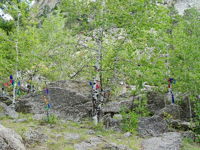

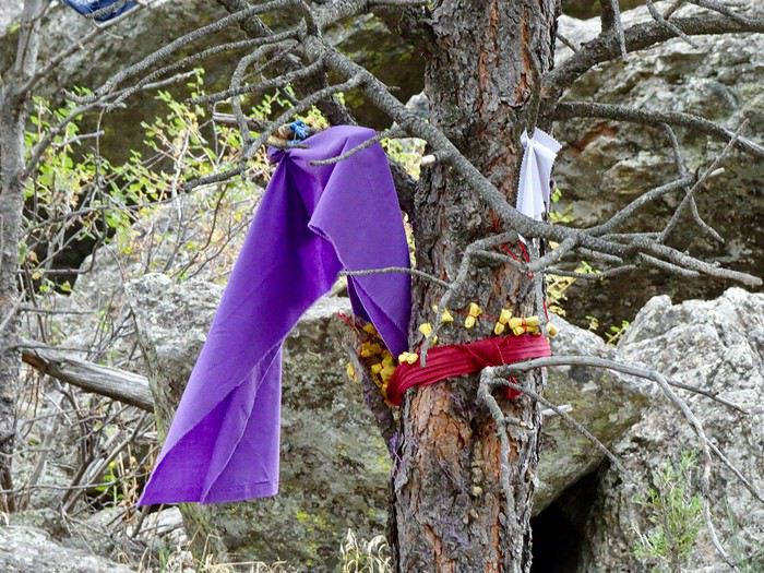
It takes us less than an hour to get as close as possible
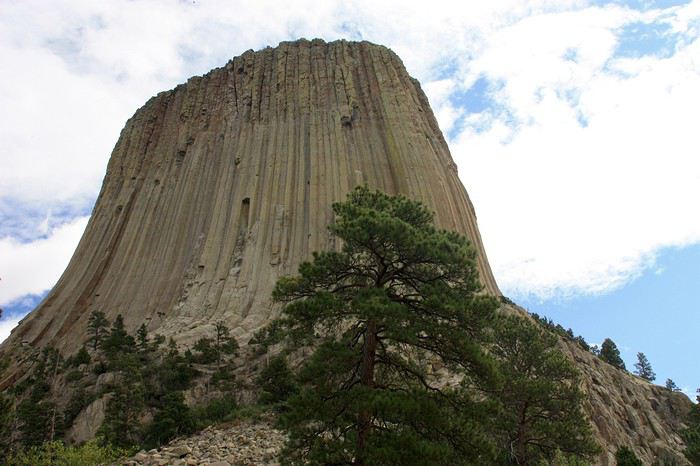
and leisurely walk around it, following a small trail that climbs quite a bit in places but is also well-shaded, giving us occasional beautiful views of the valley below.
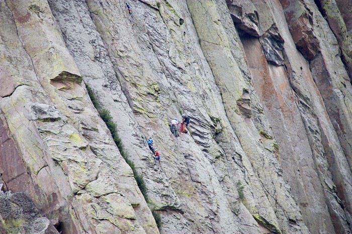
We also see some climbing enthusiasts scaling the vertical colored lines (registration with a ranger is required to access this).
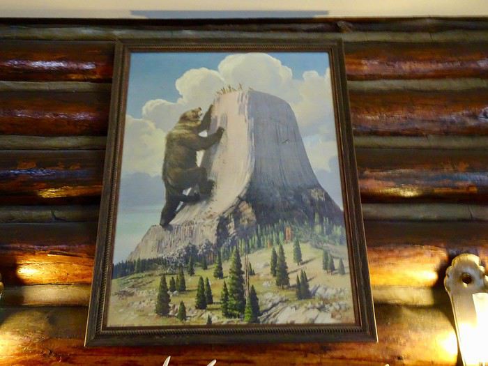
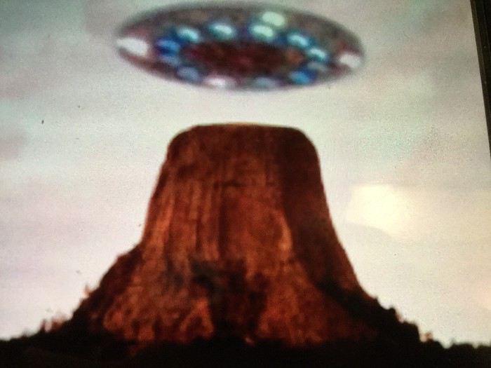
A quick stop at the visitor center, where we see a painting depicting the legend.
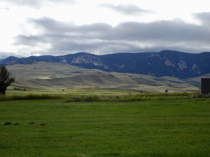
Let’s hit the road!!! The beautiful blue sky from earlier in the day has disappeared, and some gray clouds are slowly moving in.
We continue our journey through rolling hills but are surprised to see the ground littered with dead trees for kilometers. Storm? Disease? It’s striking to see all these fallen trees in this otherwise green landscape.
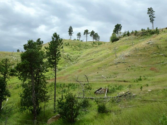
We follow the Keyhole Reservoir before driving on a dreary highway for a long stretch. After passing Buffalo, we take exit 44.
Fort Phil Kearny
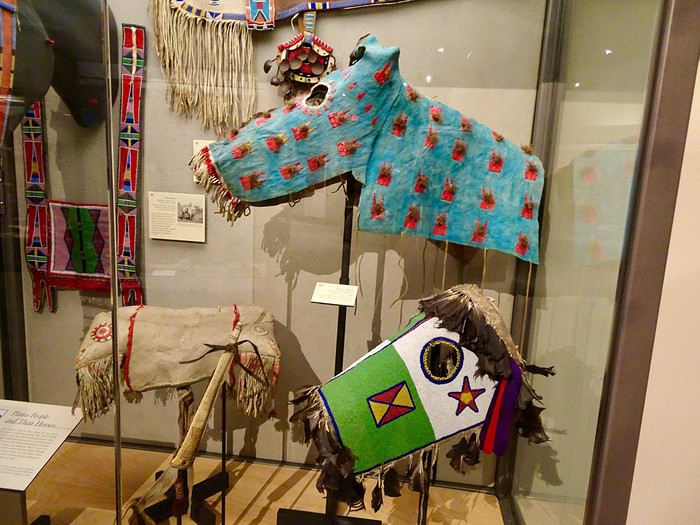
A cold wind has picked up, and we run into this small museum ($5 per person) with its models of battles and the fort as they were in 1867, a small exhibit on Native Americans, soldiers, pioneers, and life at the fort, as well as a short film about the battles and those who took part. The welcome is excellent, and we’re delighted by the efforts of the woman who greets us to speak French.
This former military post was built in 1866 along with two others to protect the construction of the railroad and the wagon trains of pioneers following the Bozeman Trail from Fort Laramie to the goldfields of Montana, crossing lands given to the Plains Indians.
It first became the target of attacks by Sioux tribes defending their land. Later, led by Chief Red Cloud, other tribes joined forces to ambush the white invaders.
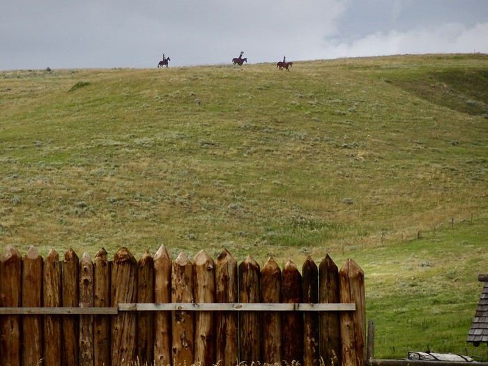
Their goal was to drive out the invaders, and they inflicted what became the greatest military disaster on the Great Plains (over 80 soldiers killed).
Shortly after this defeat, the land was returned to the Native Americans by treaty, which was later violated again after gold was discovered.
The army abandoned the forts protecting the Bozeman Trail in 1868, and they were eventually burned by the Native Americans.
There isn’t much left outside except reconstructed palisades
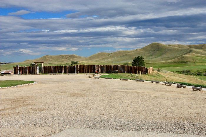
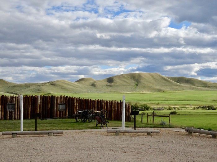
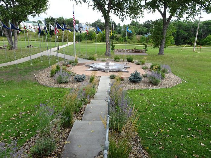
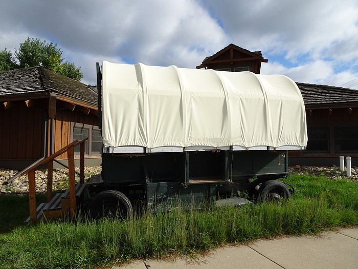
, a few wagons and cannons, and flags flying on the mast.
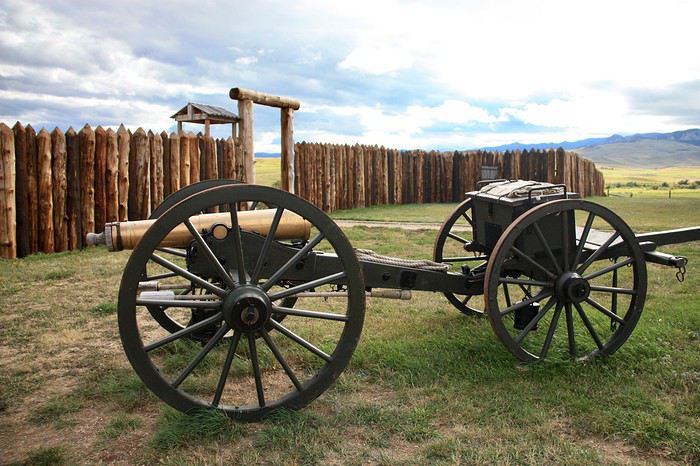
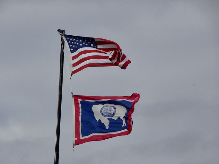
But this place, steeped in history, leaves a deep impression on us.
We walk around the site of the original buildings.
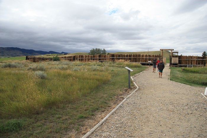
Once again, we feel the weight of everything that happened here, a place so full of history, and it’s hard not to think about those battles and, most of all, the people who lived through them.
A special light, half-shadow, half-sun, and those big gray clouds add even more intensity to the moment, and it’s with deep emotion that we get back in the car.
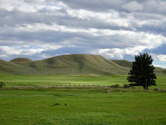
I think this well-documented little museum is a great compromise for those, like us, who didn’t have time to visit the Little Bighorn Battlefield.
A quick stop at Wagon Box Fight, right next door, the site of another terrible battle, this time lost by Red Cloud’s warriors.
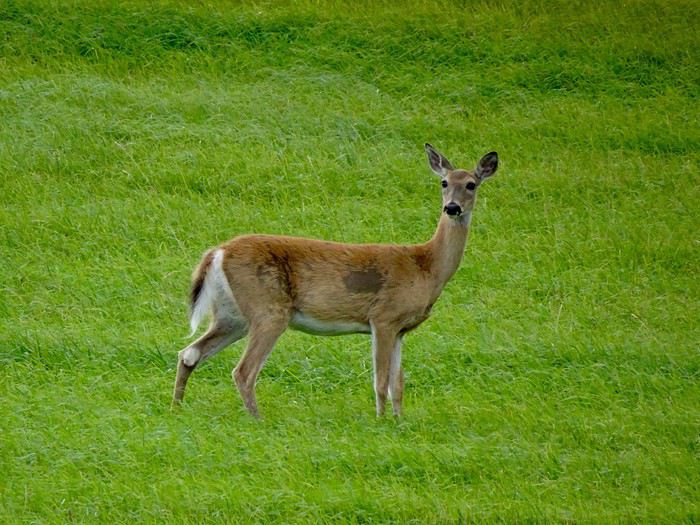
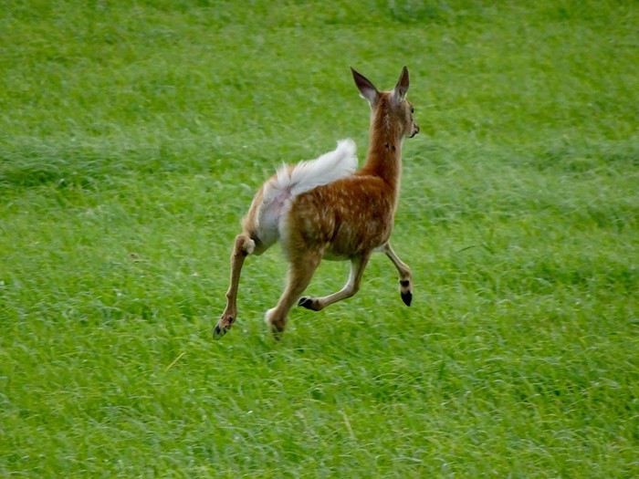
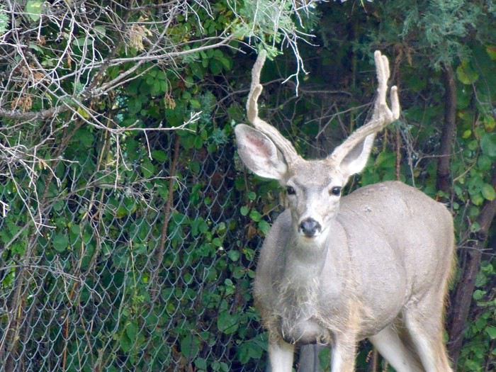
A lovely encounter with a doe and her fawn.
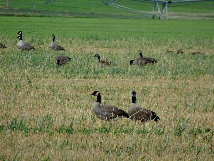
And some wild geese (Canada geese?).
We arrive in Sheridan at 6 p.m. Brrr!!! It’s only 13°C.
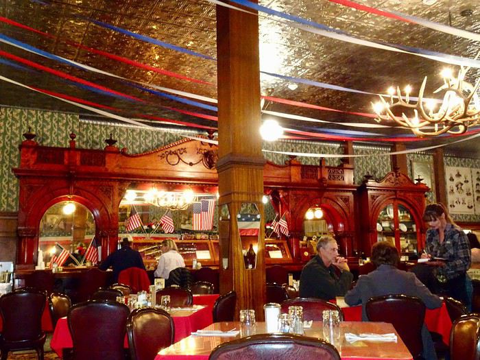
A great meal at a superbly decorated restaurant, Wyoming Cattle & Creek Company (201 Broadway Street): $80 for 4 burgers and two beers.
Another amazing day, both historically, visually, and gastronomically!!! What a privilege to experience all this!!!!
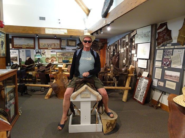
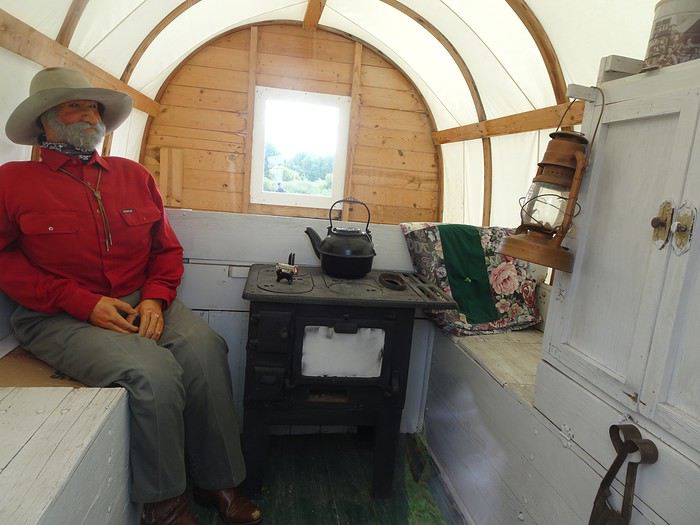 and inside—with lots of old objects (clothes, utensils, antique furniture), beautiful photos of pioneers, and explanatory panels.
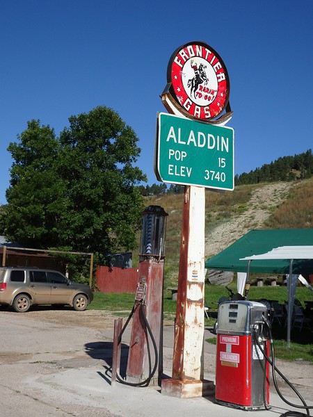
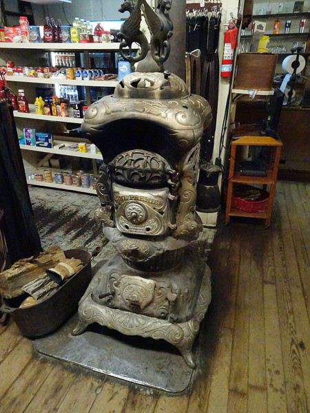
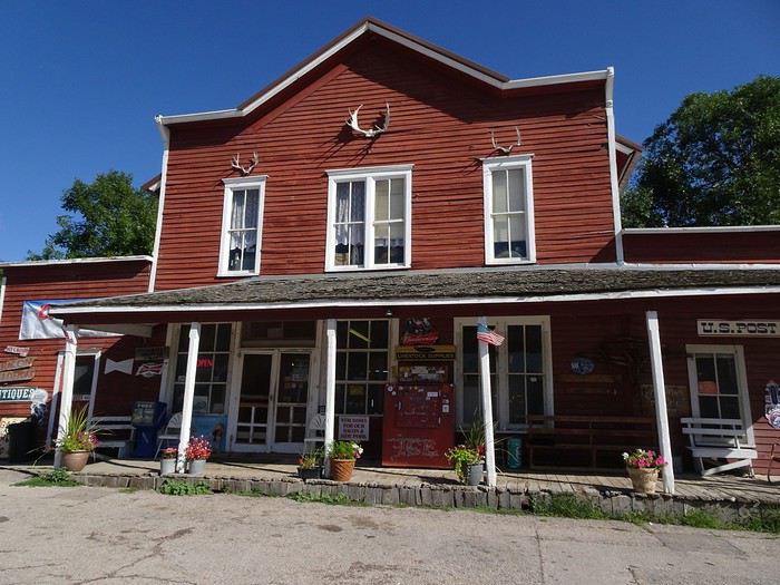 As soon as we push the door, we’re transported back in time!!! The stove, the phone, the fridge—everything is from the era and still works.
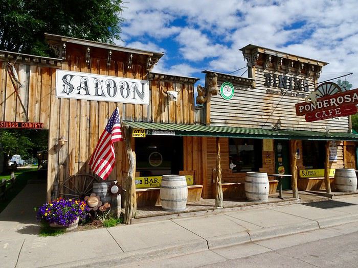 so we stroll through town with delight.
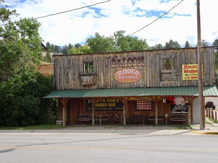
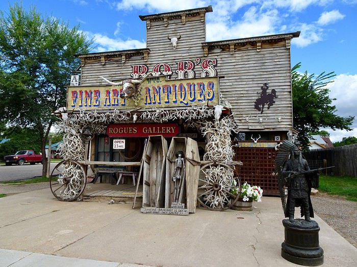
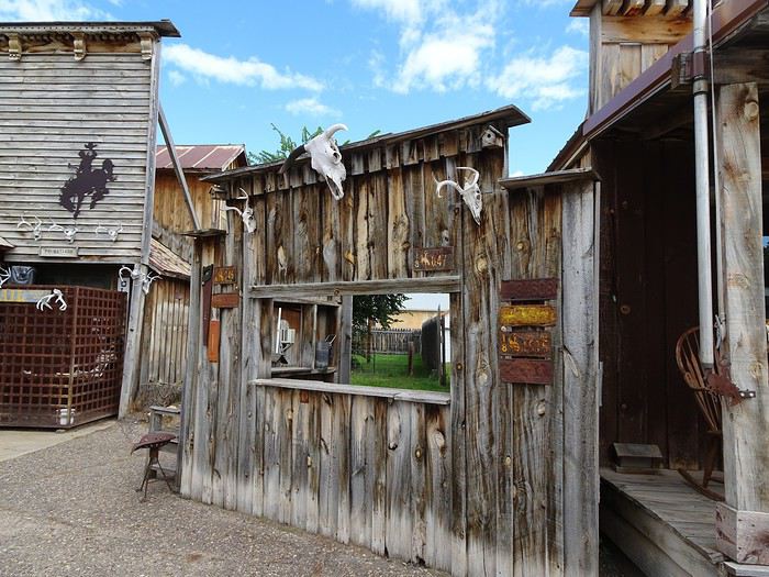
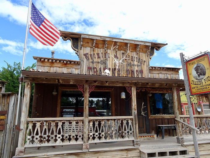
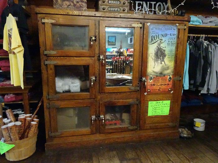
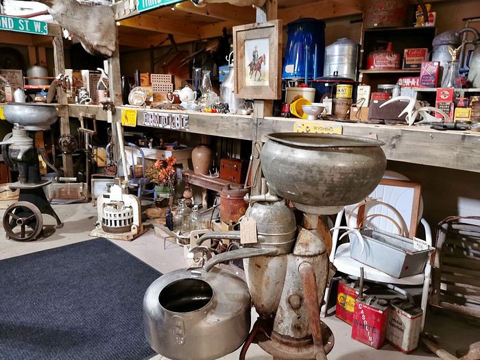
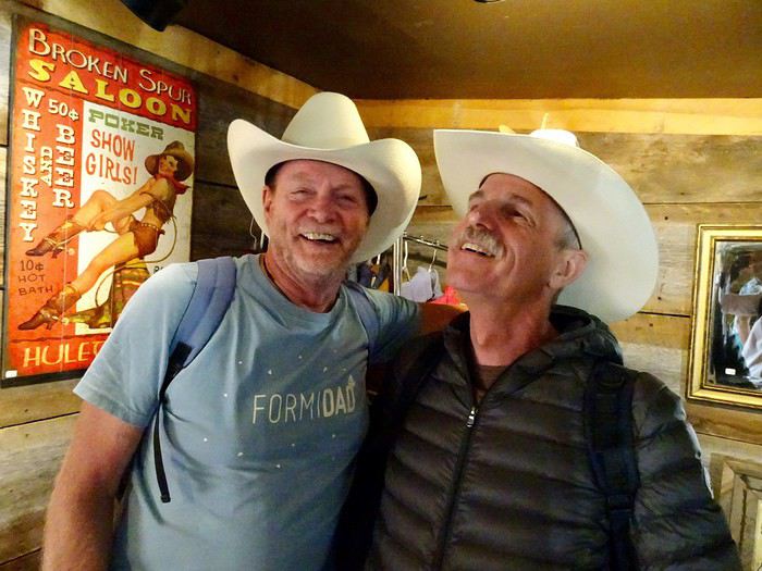
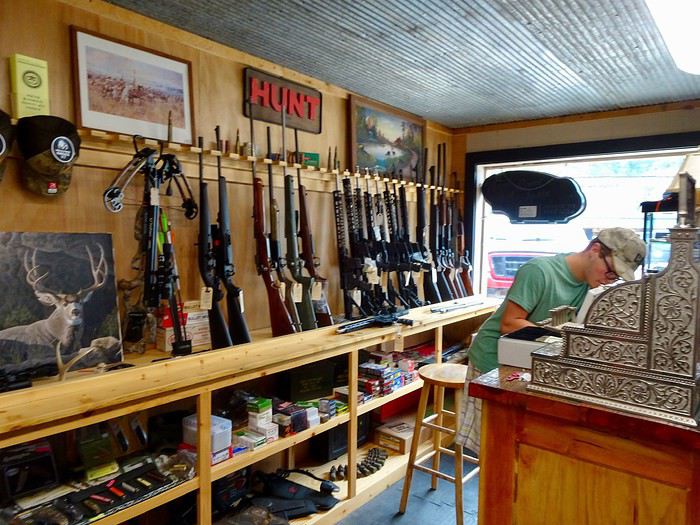
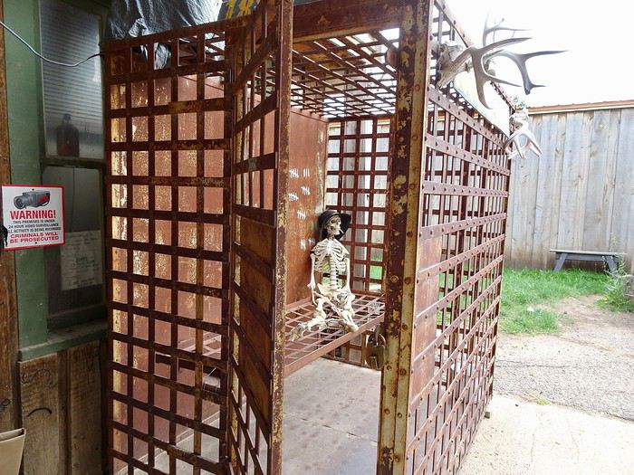 and instead of the closed Old West Museum, we go into an antique shop filled with treasures—perfect for us since we love old things!!!



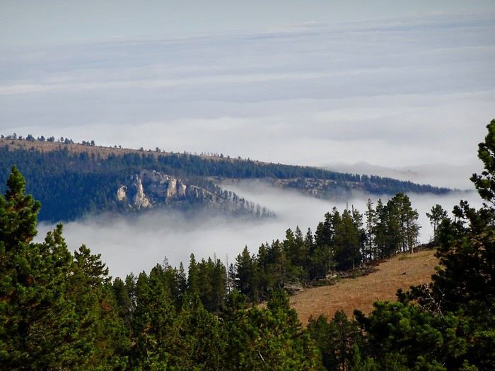
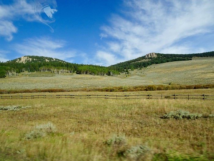
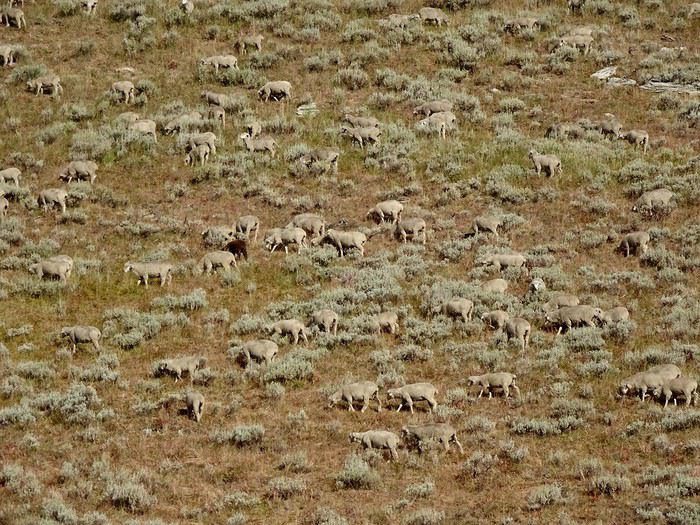
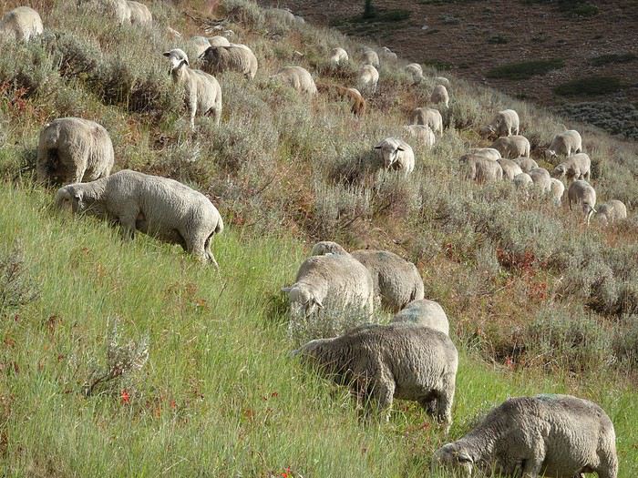
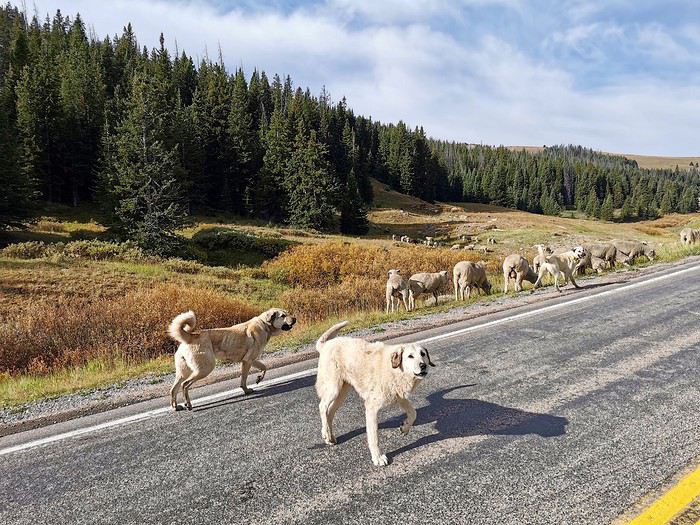
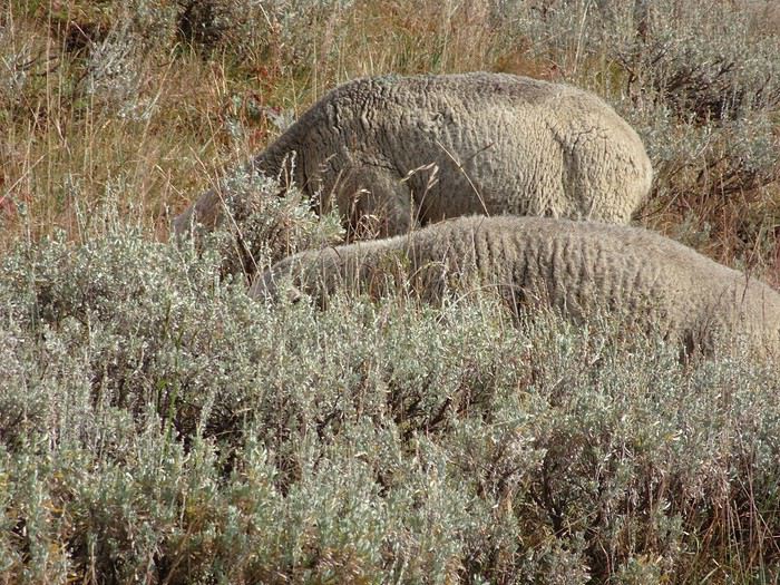 They cross the road as they please.
Another unforgettable memory: this flock, at over 2,800 meters, alone in the middle of nowhere, guarded only by three large Anatolian shepherd dogs that we pass carefully.





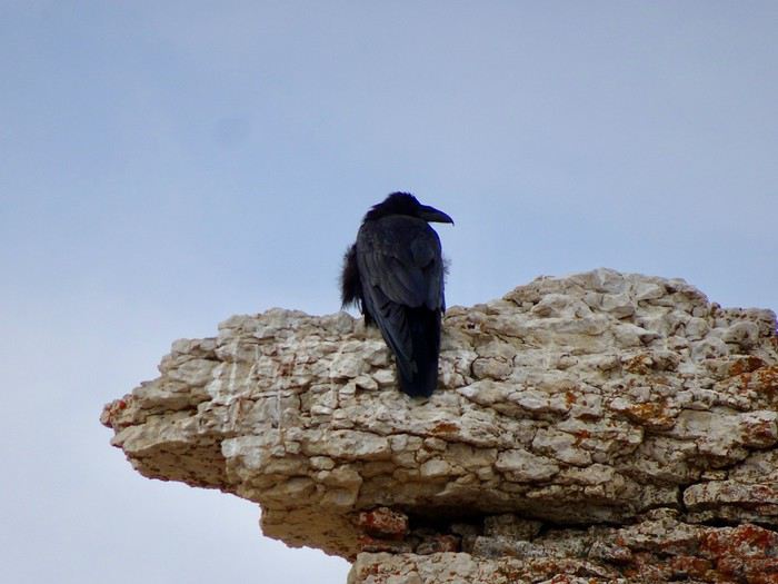
 and a few scruffy ravens.
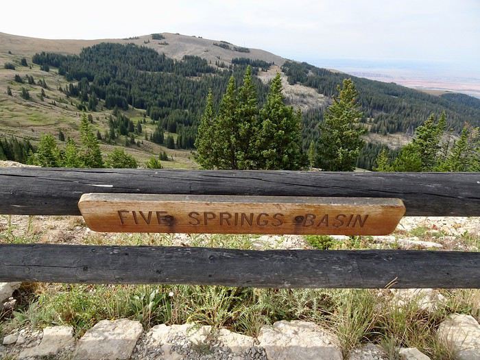 We hear the song of the wind in the pines!!! It’s magical!!!
The wind??? Is it really the wind??? Maybe it’s the spirits of all the Native Americans who’ve passed through here over the centuries, trying to tell us their story.
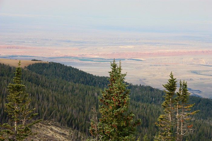
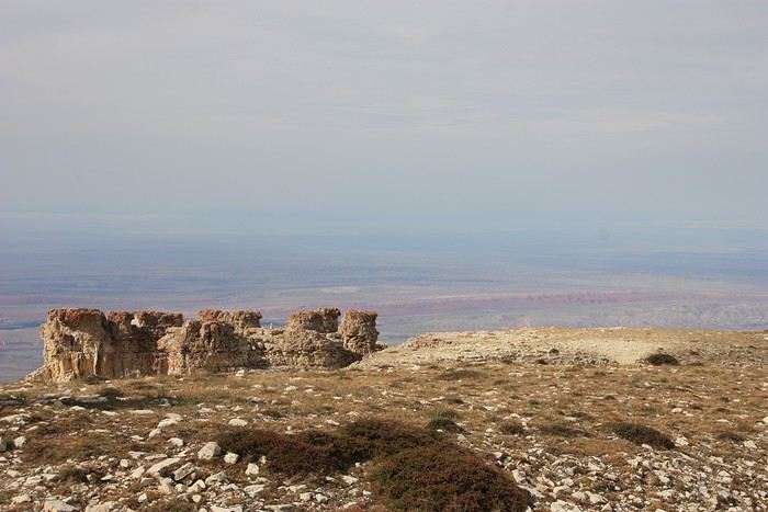
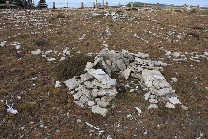
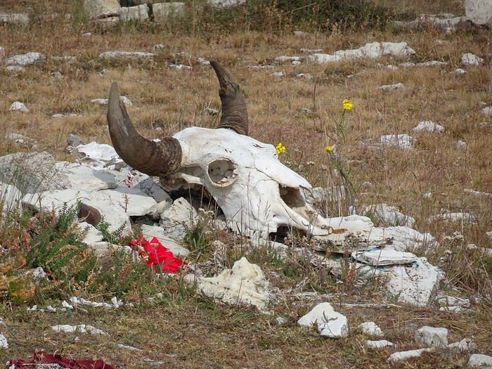
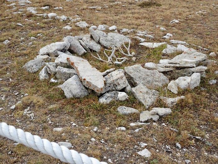
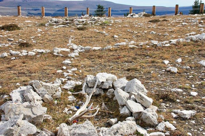
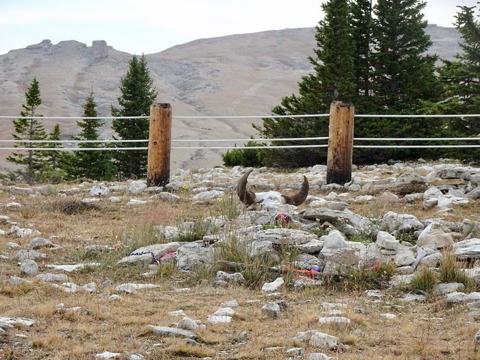
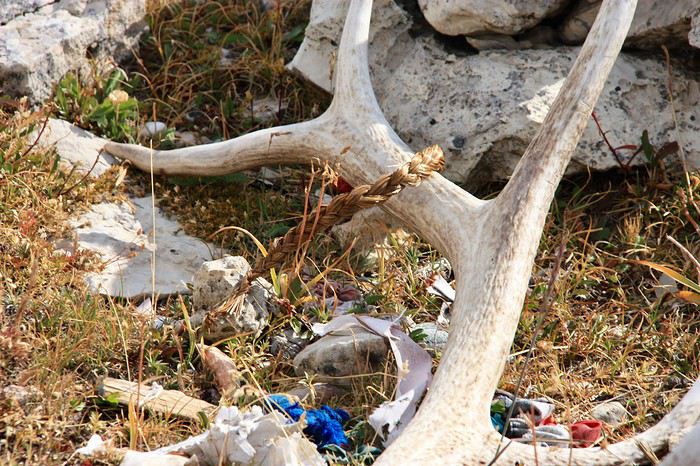
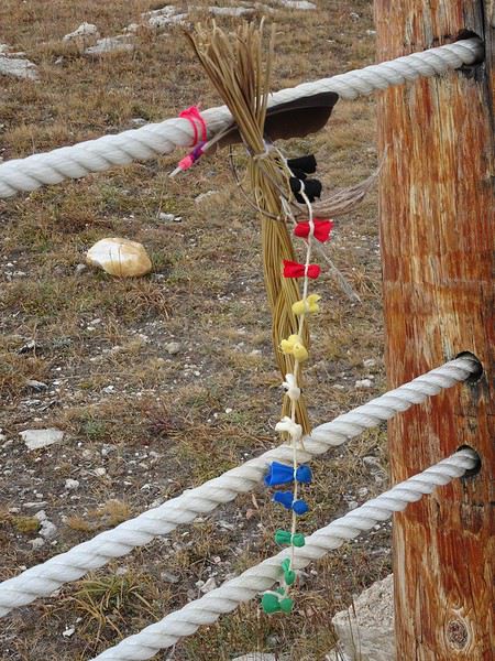
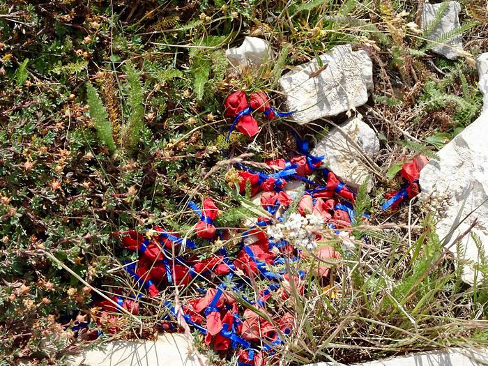
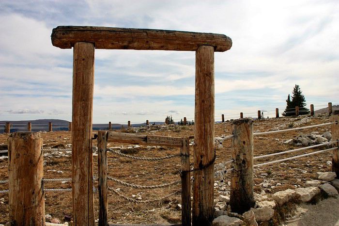
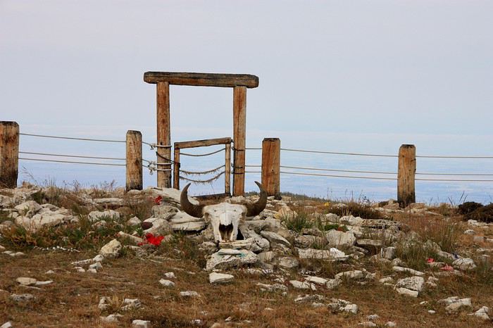
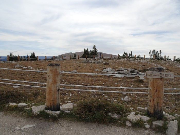
Once up there, we’re alone on this limestone plateau, buffeted by gusts. The site is so steeped in spirituality that, despite everything, it remains calm and peaceful, and a lot of emotion comes through when you think about the hopes of all those who’ve left offerings here.
The circle was built by Native Americans using white rocks a long time ago.
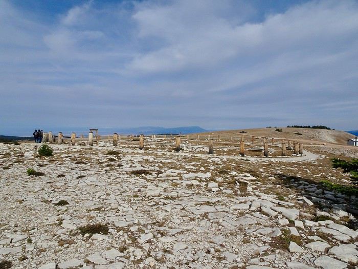 It’s a wheel about 25 m in diameter with 28 spokes radiating from a central cairn and 6 cairns arranged around it, where offerings for prayers are left (bison skulls, deer antlers, braids, feathers, fabrics, tiny little packets...).
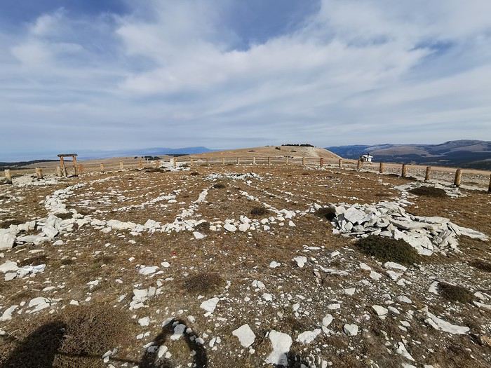


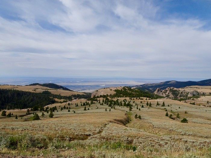
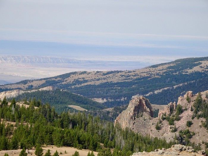
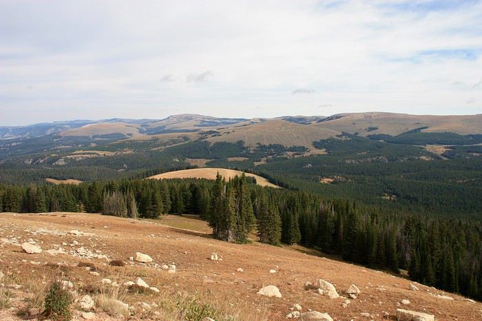
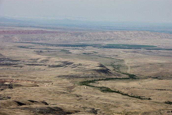 Still these desert landscapes made of rocks and a few trees.
This road literally runs along the folds of a small mountain range, squeezed between the void on one side and a rock wall on the other.
At the bottom of the pass, you can see the black rock mounds tinged with pink and green.
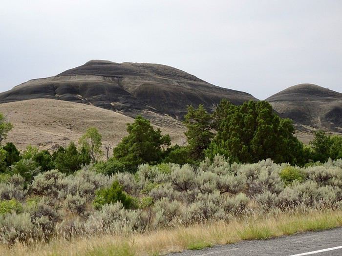
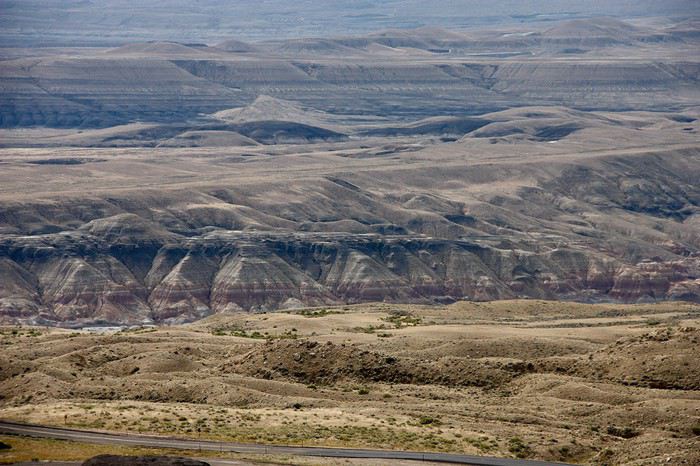 Hardly any vegetation except for a few trees following the bed of a small stream.
A small bridge lets us cross the Bighorn River, which flows into the huge lake of the same name.
It took us 40 minutes to reach the entrance of the Canyon, just before Lovel.
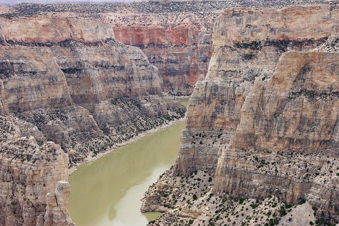
Horseshoe Bend
We drive through stunning red rocks on our way to grab a bite at the picnic area of the small marina with its boat launch zone.
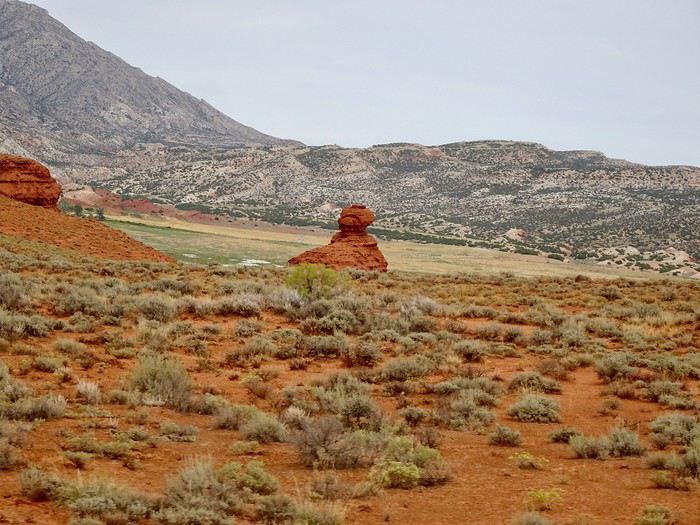
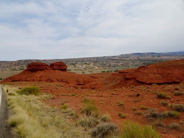
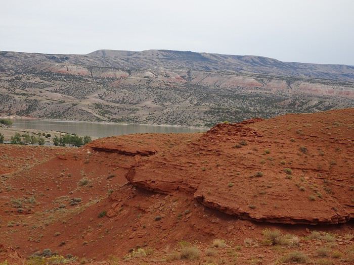
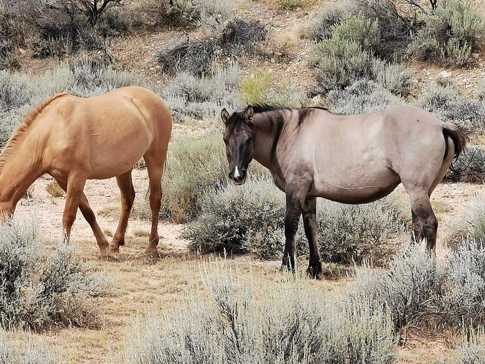
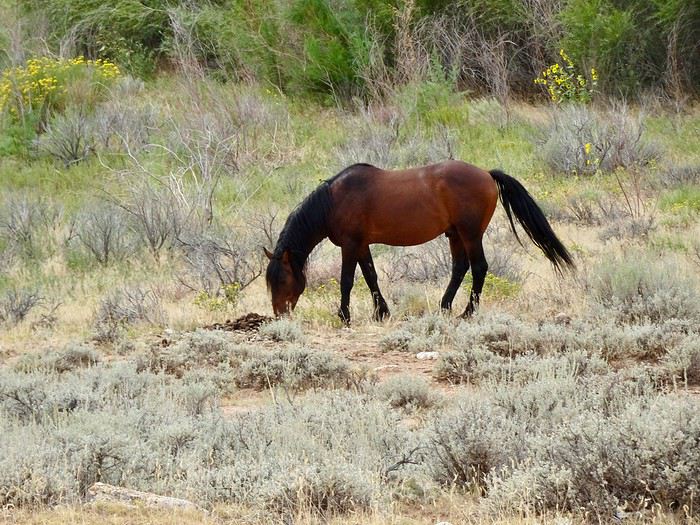
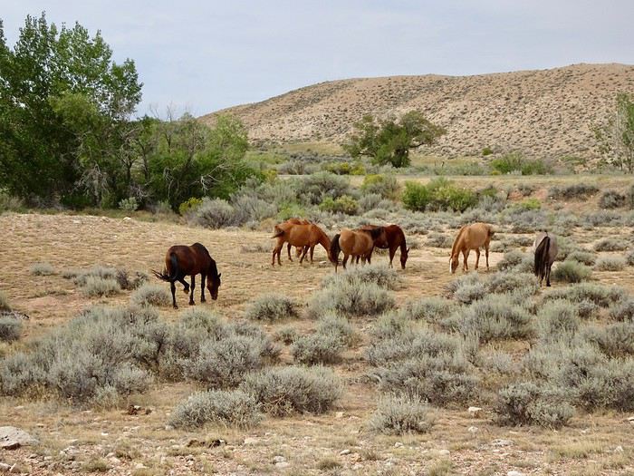
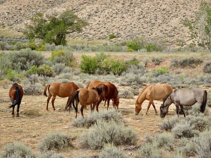
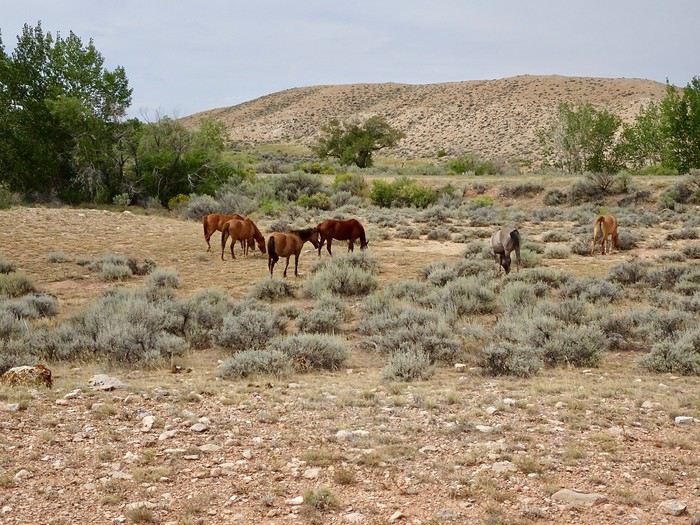 Peacefully grazing or enjoying their life as free horses!!!
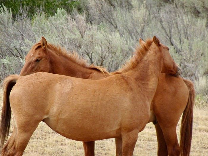
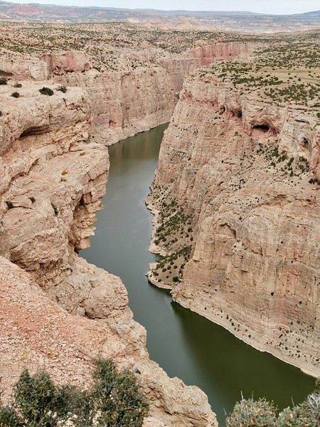
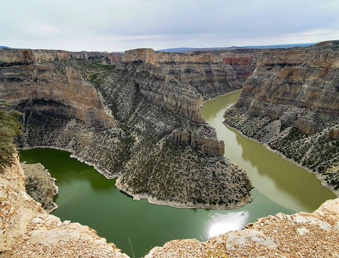 Several viewpoints offer a plunging view of this narrow, winding canyon.
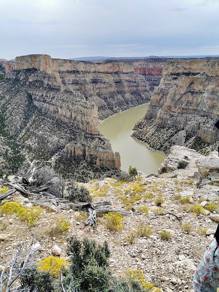
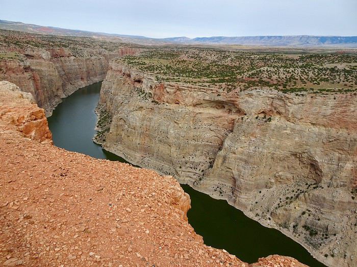 The panorama is once again breathtaking, with its towering, colorful stone walls.


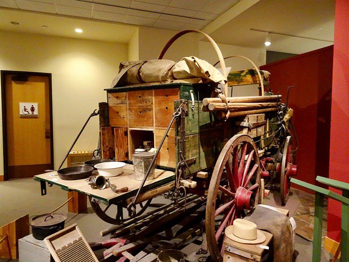
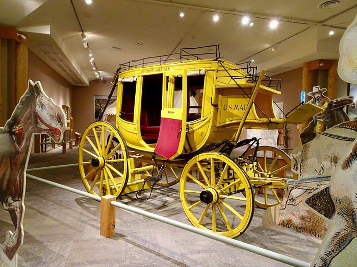
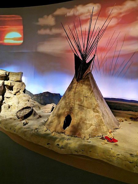
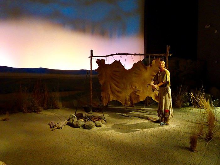
 No problem, we’ll take shelter in the museum, especially since it’s Sunday and there are no street performances. We have time to stay until closing.
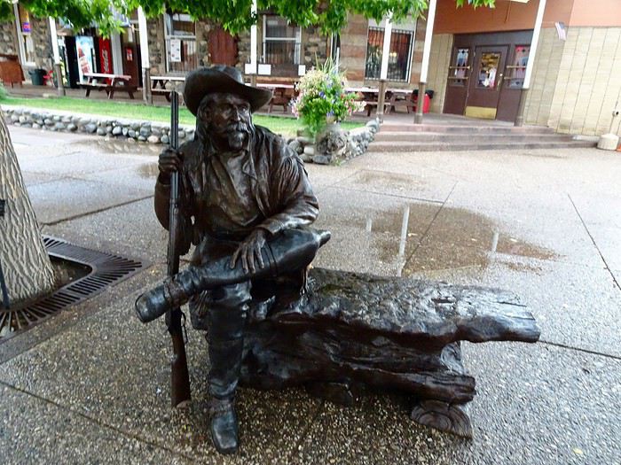
Buffalo Bill Historical Center: 720 Sheridan Avenue
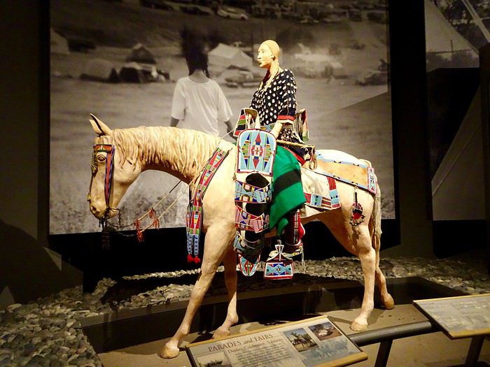
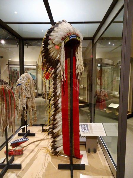
The parking lot is huge, and we easily find a spot. The ticket attendant asks if we want to return to the museum the next day. When we say no, she offers us a discount since the museum closes in two hours. We’ll pay $9.50 per person instead of the usual $19.50. What a nice lady!!!