The "must-sees" of the American West
We're heading back down US 89, then taking US 89A to Lees Ferry, where our next hike starts.
Spencer Trail is an alternative to Horseshoe Bend for seeing a meander of the Colorado River. It's a free and barely crowded alternative—completely the opposite of Horseshoe Bend, which has become a tourist factory in just a few years...
The only "small" difference is that Spencer Trail requires climbing the entire Bend from the Colorado River, starting at Lee's Ferry—nearly 500 m over 3 km... The hike is 9 km round trip to reach the best viewpoint over the Colorado.
The climb is easy thanks to a well-marked and clean trail. The view of the Colorado gets more stunning as you gain elevation.
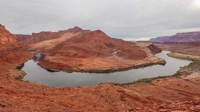
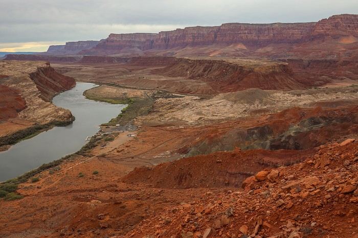 Once we reach the top of the plateau, contrary to what I thought, we're far from being at the level of the "Bend" facing Horseshoe Bend. We still have to walk 2 km of tough terrain, with small rocky hills that can be pretty rough depending on the route.
And here’s the viewpoint from Spencer Trail, right across from the Bend:
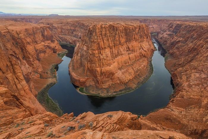 This viewpoint might not be as photogenic as the famous Horseshoe Bend to the left, but at least here, we’ve got the place to ourselves!
Sullivan has fun with his drone, and we stay a while to soak in the scenery! We stick around until sunset, but then we have to descend the 600 m of negative elevation. While checking our backpacks before heading back, we realize we forgot our headlamps!
We know we’ve only got about forty-five minutes to cover most of the 5 km. Once we cross the plateau, we decide to run down the slope to avoid the risk of falling in the pitch-black descent.
I still manage to snap a few photos after sunset: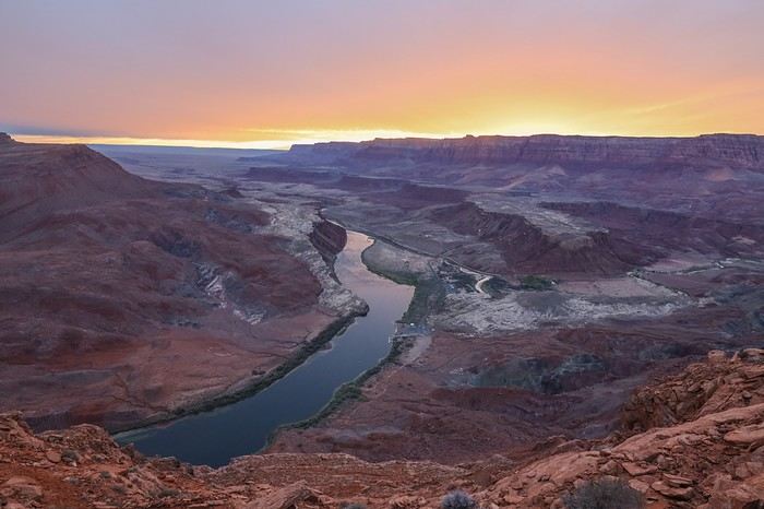 Back at the parking lot, a long drive awaits us to return to Arizona in the Kaibab National Forest, where we’ll camp in an authorized spot. Ioverlander is perfect once again for finding the right camp.
Taking a shower is tough—it’s freezing cold again in the evening. Let’s not forget we’re over 2,000 meters above sea level!
Spencer Trail is an alternative to Horseshoe Bend for seeing a meander of the Colorado River. It's a free and barely crowded alternative—completely the opposite of Horseshoe Bend, which has become a tourist factory in just a few years...
The only "small" difference is that Spencer Trail requires climbing the entire Bend from the Colorado River, starting at Lee's Ferry—nearly 500 m over 3 km... The hike is 9 km round trip to reach the best viewpoint over the Colorado.
The climb is easy thanks to a well-marked and clean trail. The view of the Colorado gets more stunning as you gain elevation.
Once we reach the top of the plateau, contrary to what I thought, we're far from being at the level of the "Bend" facing Horseshoe Bend. We still have to walk 2 km of tough terrain, with small rocky hills that can be pretty rough depending on the route.And here’s the viewpoint from Spencer Trail, right across from the Bend:
This viewpoint might not be as photogenic as the famous Horseshoe Bend to the left, but at least here, we’ve got the place to ourselves!Sullivan has fun with his drone, and we stay a while to soak in the scenery! We stick around until sunset, but then we have to descend the 600 m of negative elevation. While checking our backpacks before heading back, we realize we forgot our headlamps!
We know we’ve only got about forty-five minutes to cover most of the 5 km. Once we cross the plateau, we decide to run down the slope to avoid the risk of falling in the pitch-black descent.
I still manage to snap a few photos after sunset:
Back at the parking lot, a long drive awaits us to return to Arizona in the Kaibab National Forest, where we’ll camp in an authorized spot. Ioverlander is perfect once again for finding the right camp.Taking a shower is tough—it’s freezing cold again in the evening. Let’s not forget we’re over 2,000 meters above sea level!


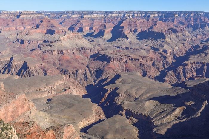
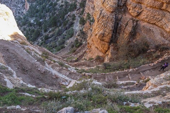
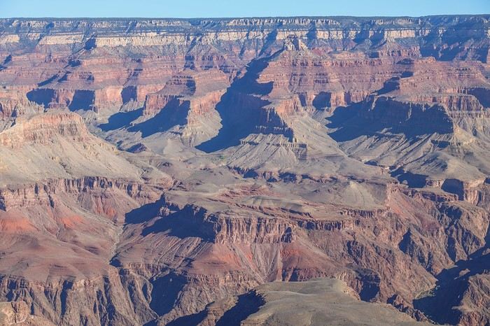 Right from the start, the tight switchbacks on the descent were impressive...
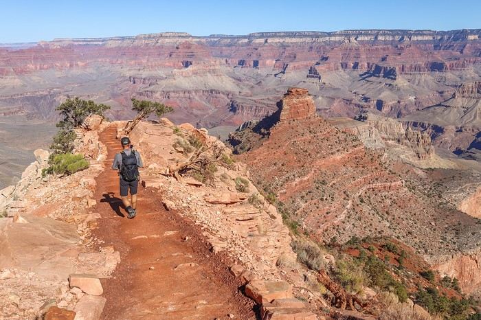
 We reached the first well-known viewpoint, Ooh Aah Point.
 A little further on, Cedar Ridge.
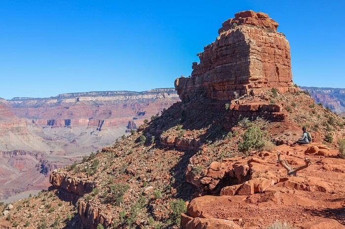
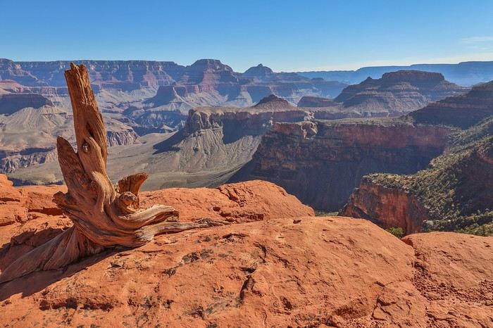
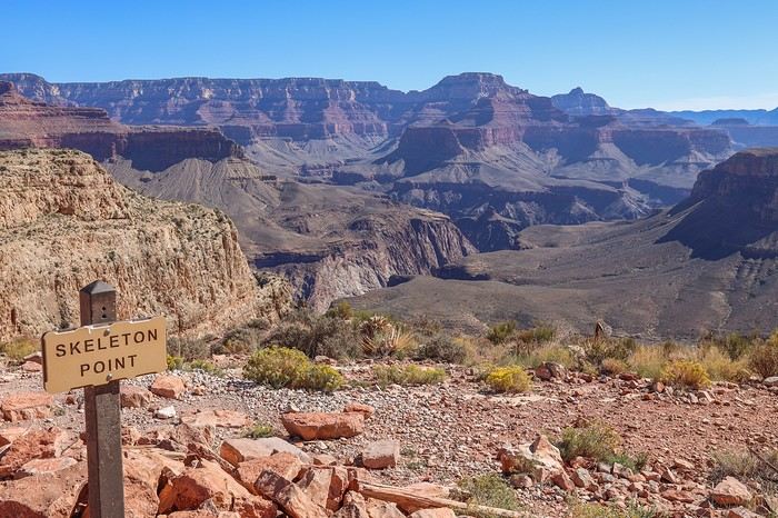
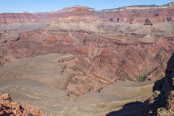


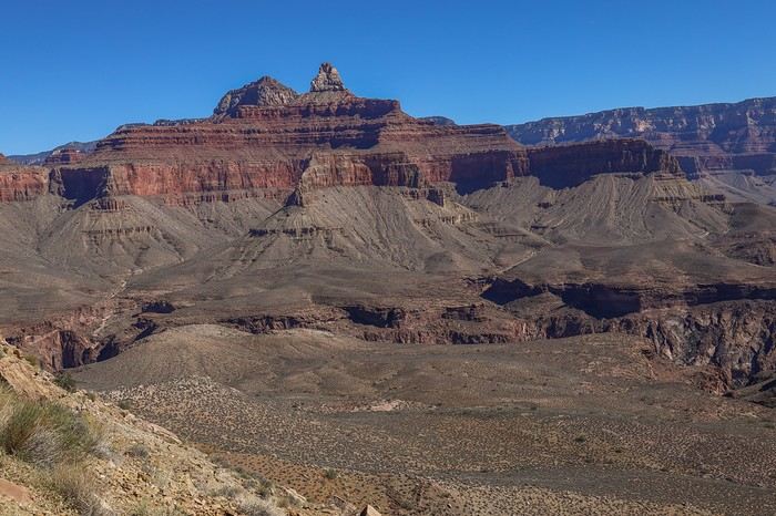 At noon, we ran into two cowboys hauling equipment, probably from Phantom Ranch.
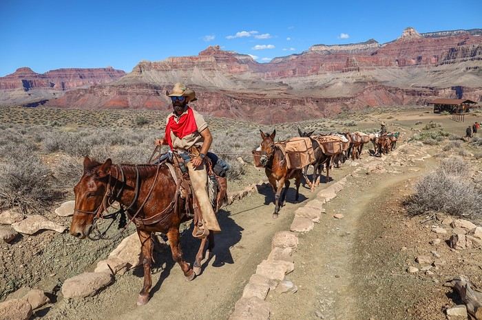
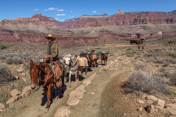 Instead of taking shelter at The Tipoff Shelter, a spot meant to give hikers a little shade, we decided to keep going... The temperatures were really pleasant this time of year.
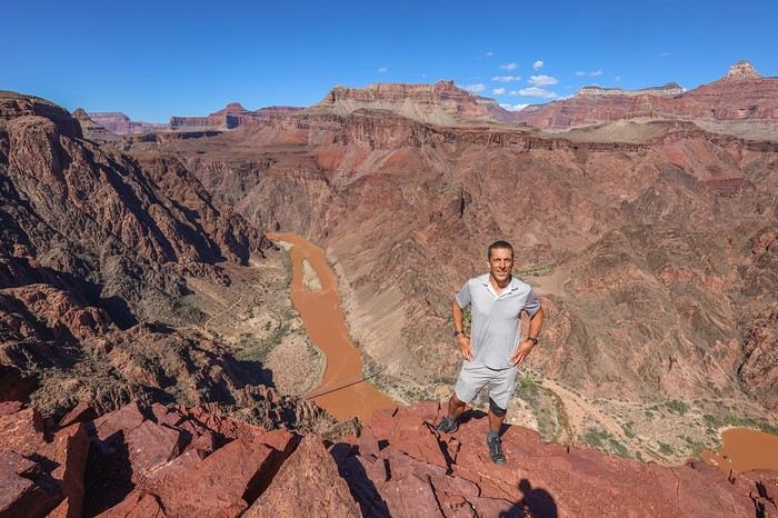 As we got closer to the bottom of the canyon, we lost some depth of field, but the landscapes were still stunning.
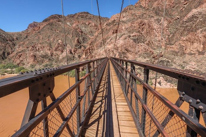
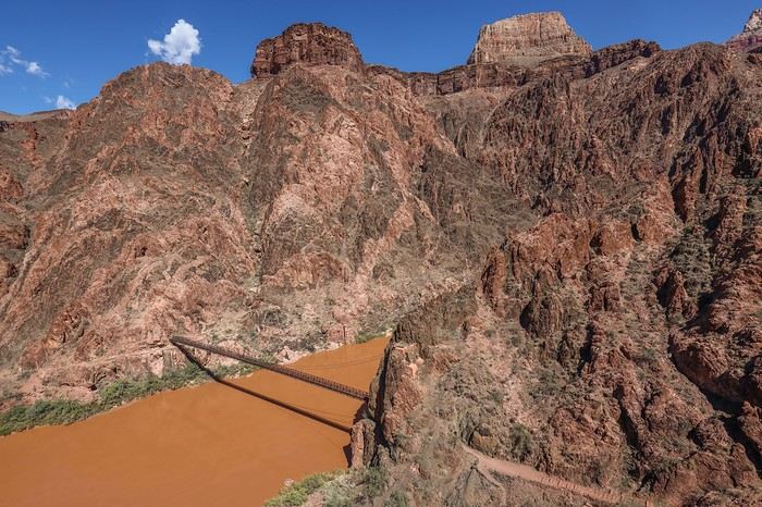 After 4 hours of hiking, it finally happened—our dream came true as we crossed the famous bridge spanning the Colorado River! 😇
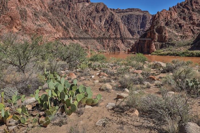
 Looking at the vegetation, especially the cacti, it’s easy to imagine the scorching heat that must hit the bottom of the canyon in the middle of summer.
 A second bridge, the Bright Angel Suspension Bridge, marks the starting point of the River Trail.
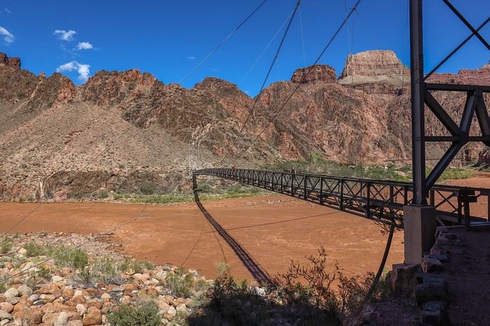 In the distance, we spotted tourists on horseback, probably starting from Phantom Ranch. Personally, I’d rather be on foot than on some nag at the edge of a cliff, but to each their own...
We followed the Colorado River, searching for a shady spot to finally have lunch!
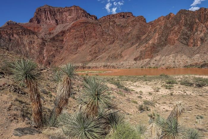 We struggled to find shade but eventually found the perfect spot just before leaving the River Trail. Not a bad view for a picnic...
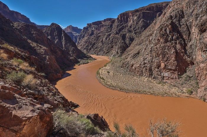


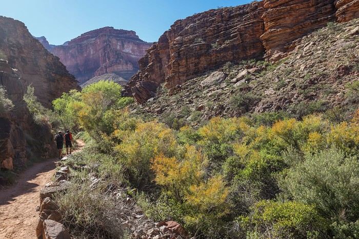
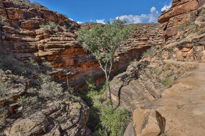 We then reach Indian Gardens Campground, the last spot with water before the final climb. We take the chance to hydrate well and cool off. We rest there for a good fifteen minutes, laughing as we watch a group of Americans dressed like they’re about to summit Everest, acting all prim and proper.
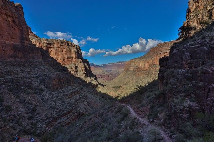 The viewpoints seriously lack width and depth 😕, and it’s only in the last third of the Bright Angel Trail that the scenery starts to be worth it. But it’s still nowhere near the epic views you get on the South Kaibab Trail from start to finish!
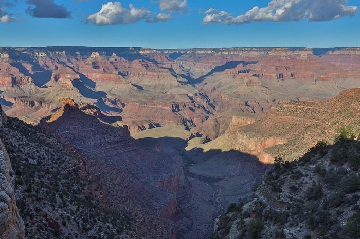 Not only does Sullivan keep his 5 km/h pace even when the climb gets much steeper, but the worst part is that neither he nor Franck stops to drink 😮! To avoid falling behind, I’m forced to keep up the pace while pulling my bottle out of my bag, even having to run to catch up... Machines, those two brothers... 😏
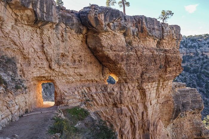 and reach the Rim at 5:20 PM, after 8.5 hours of hiking, including 1.5 hours of breaks, having crushed the last 7.5 km and 950 m of elevation gain in barely 1.5 hours.
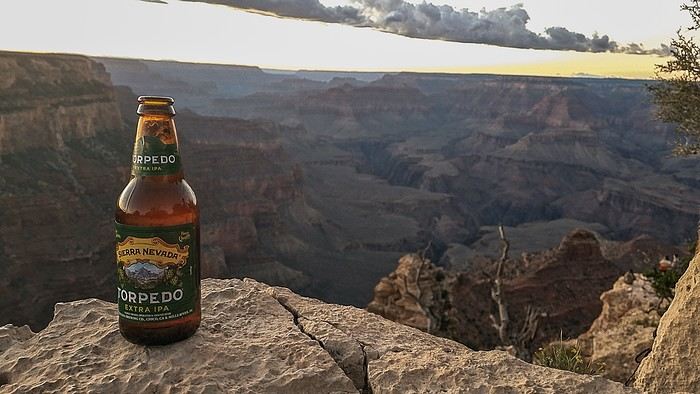 All three of us fulfilled a childhood dream by descending to the bottom of the Grand Canyon.


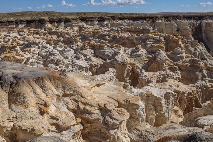
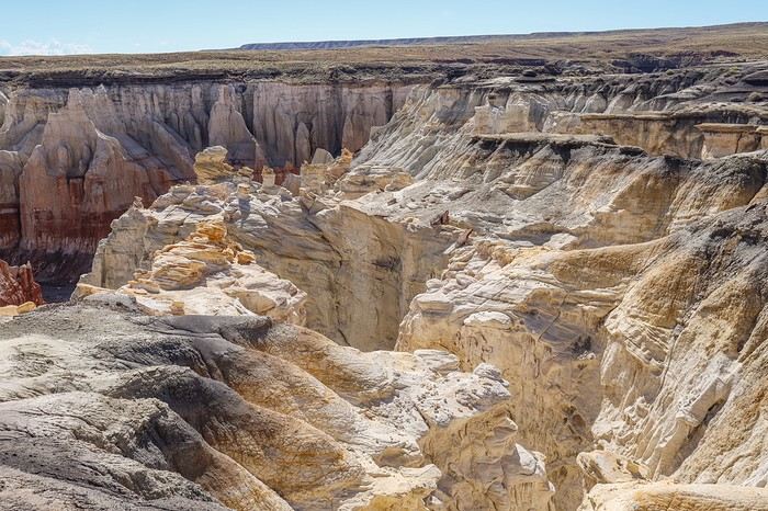 Then, we reach the start of the famous canyon, and a few hundred meters later, we arrive at an incredibly photogenic area with countless hoodoos and teepee-shaped rocks in two-tone shades of cream and ochre! It’s stunning !
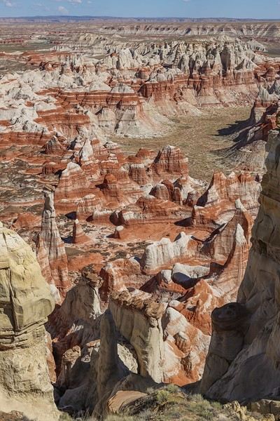
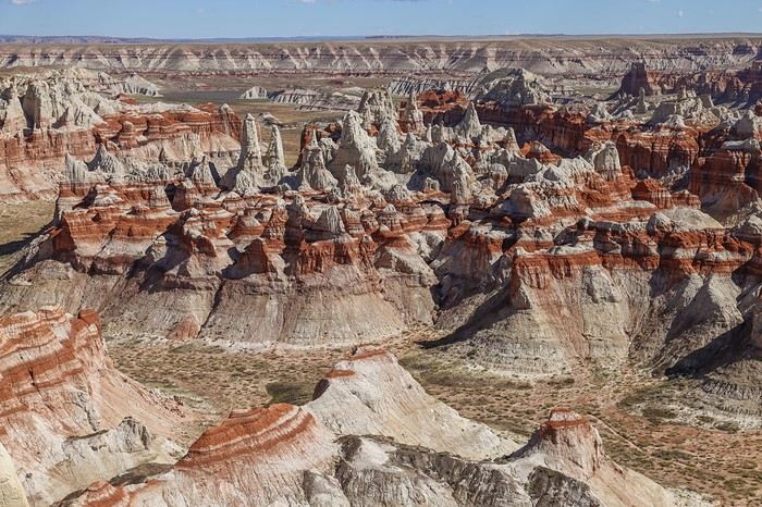
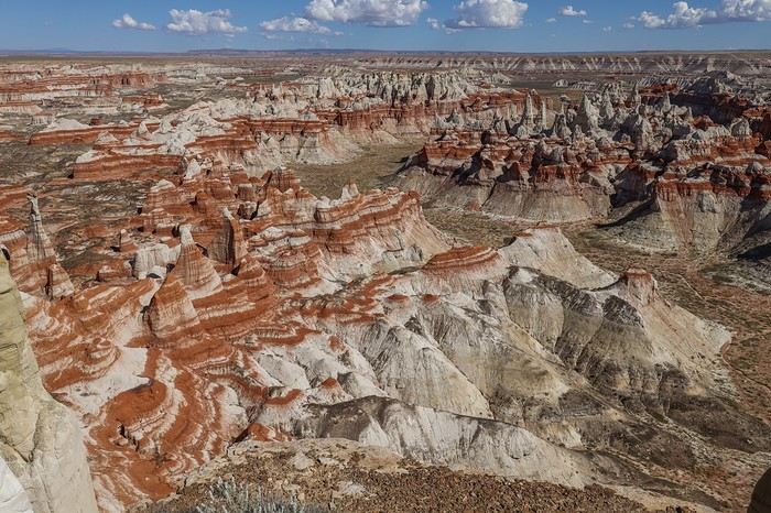 A few yellowish rocks complete this unique scene. In the background, you can make out the characteristic rocks of Ha Ho No Geh Canyon, which we’ll visit later.
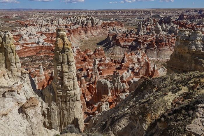
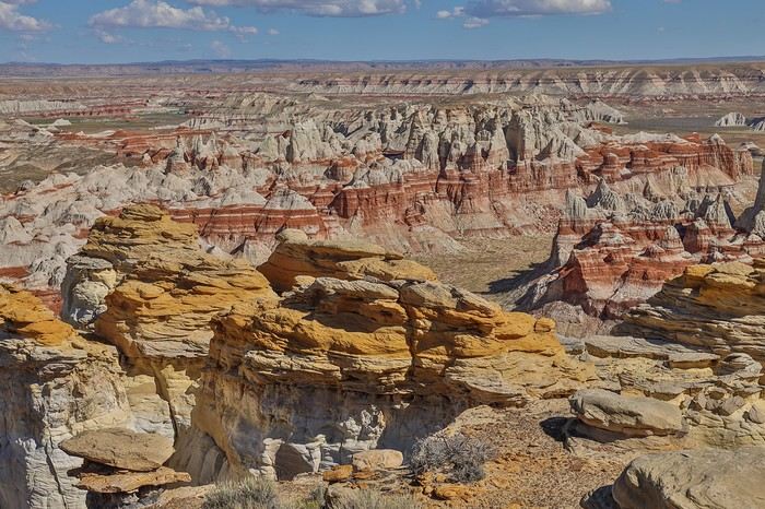
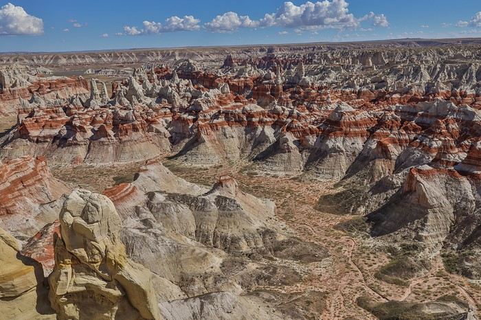 We know it’s possible to go to the bottom of the canyon, but we’ll stick to the rim—it’s enough for the time we’ve allowed ourselves here.
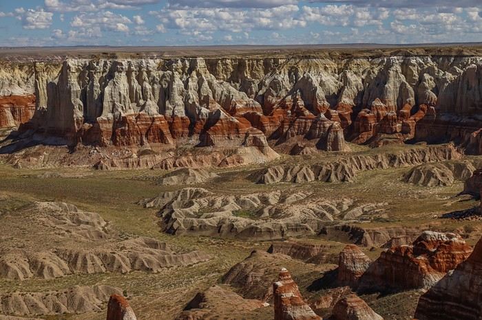
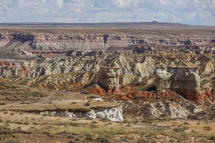


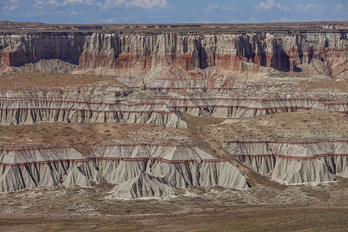
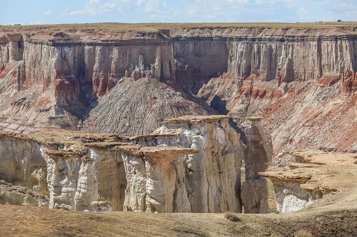 Back on Route 264, we drive a few miles before turning off to Coal Mine Canyon, this time located in Navajo land. We’re relaxed this time since we have a day permit!
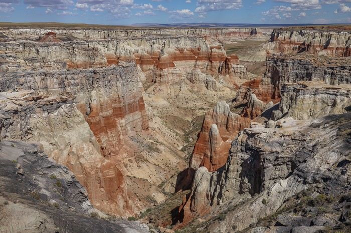
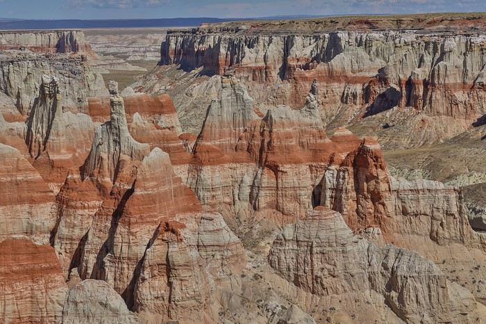 Beige, ochre, and yellow hues are joined by varying shades of gray. It’s a truly unique landscape—nothing quite like it in the Southwest! 🙂
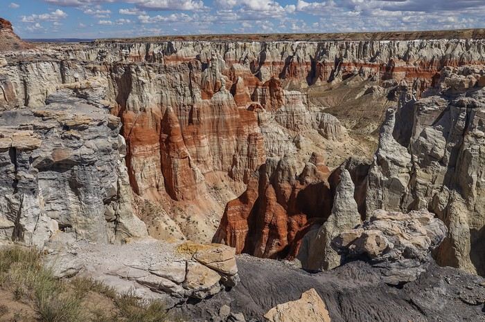 After all these Hopi and Navajo canyons, we decide to switch things up and head to several bends of the Little Colorado River, also located in Navajo land.
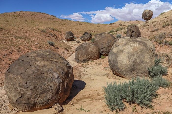
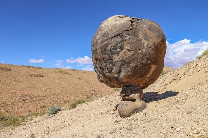 To reach the 5 bends of the Little Colorado on our itinerary, we first have to drive 30 km on a road whose condition we don’t know. In the end, no problem—the road is very smooth, except toward the end where you need to be a bit more careful.
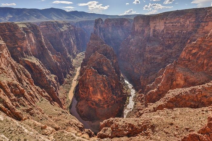 Then, a few miles north, First Bend. The water is still that chocolatey color, the same one that would’ve greeted us at the bottom of the Hopi Salt Trail 😕!
 Second Bend looks a lot like First Bend. Only the curve of Third Bend is wider.
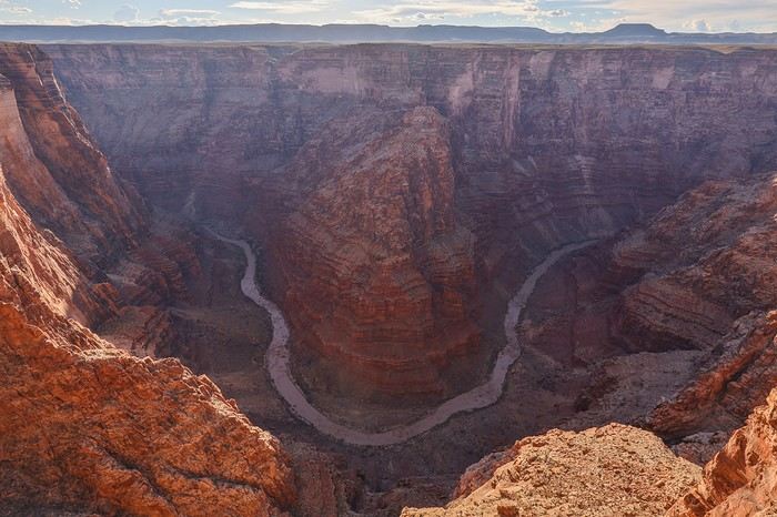 As we head north, the road becomes less and less visible. The Covid years must’ve allowed the vegetation to take over. It’s tricky to make progress, even though there aren’t any sharp rocks. It’s already 6 PM when we leave Third Bend and decide to skip Fourth Bend, which would require a 10 km round-trip detour with slow going. No regrets, though—we’ve really enjoyed this area.


