J8 September 9. Cody to Cooke City
Alpine Motel: Cooke City: 4-person apartment: 220 €
Large accommodation with two big bedrooms and a huge fully equipped kitchen (freezer, fridge, oven, microwave) in a quiet little village about ten kilometers from the Northeast Entrance and close to the Beartooth Highway.
The beds are very comfortable, and the welcome is very friendly.
Today’s the big day. Finally, Yellowstone!!!!
We chose the Northeast Entrance, but before that, we planned to take the scenic route by driving two gorgeous roads.
First, the Chief Joseph Scenic Highway (US 212) for about fifty kilometers, then we’ll head east on the Beartooth Highway up to Rock Creek Vista (70 km round trip).
We didn’t count on the rain, fog, and snow teaming up to force us to change our route.
8 a.m.!!! We’re in the car, but first, we need to fill up on gas and some groceries to avoid the park’s sky-high prices. We also need to stop by a bank to get some dollars to top up the kitty we use for shared expenses.
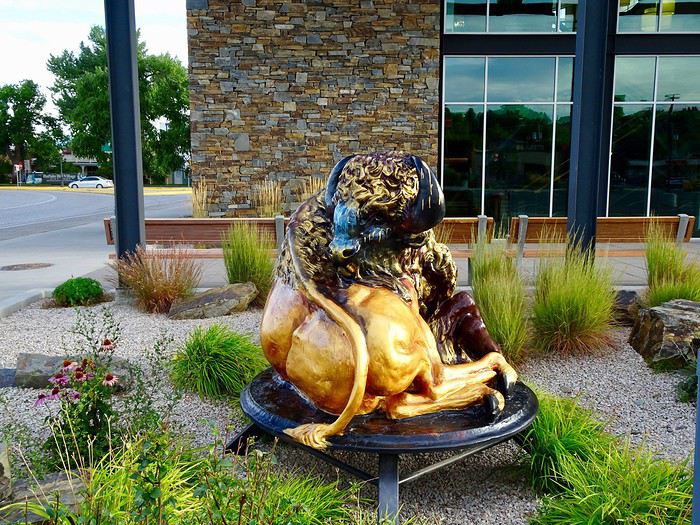
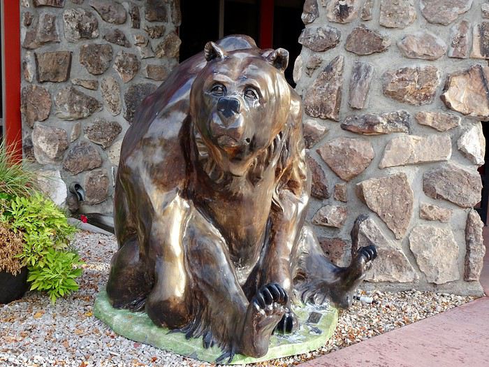
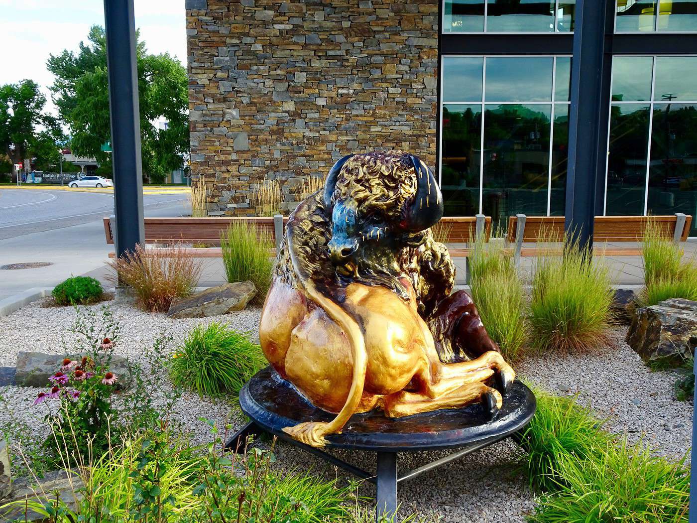
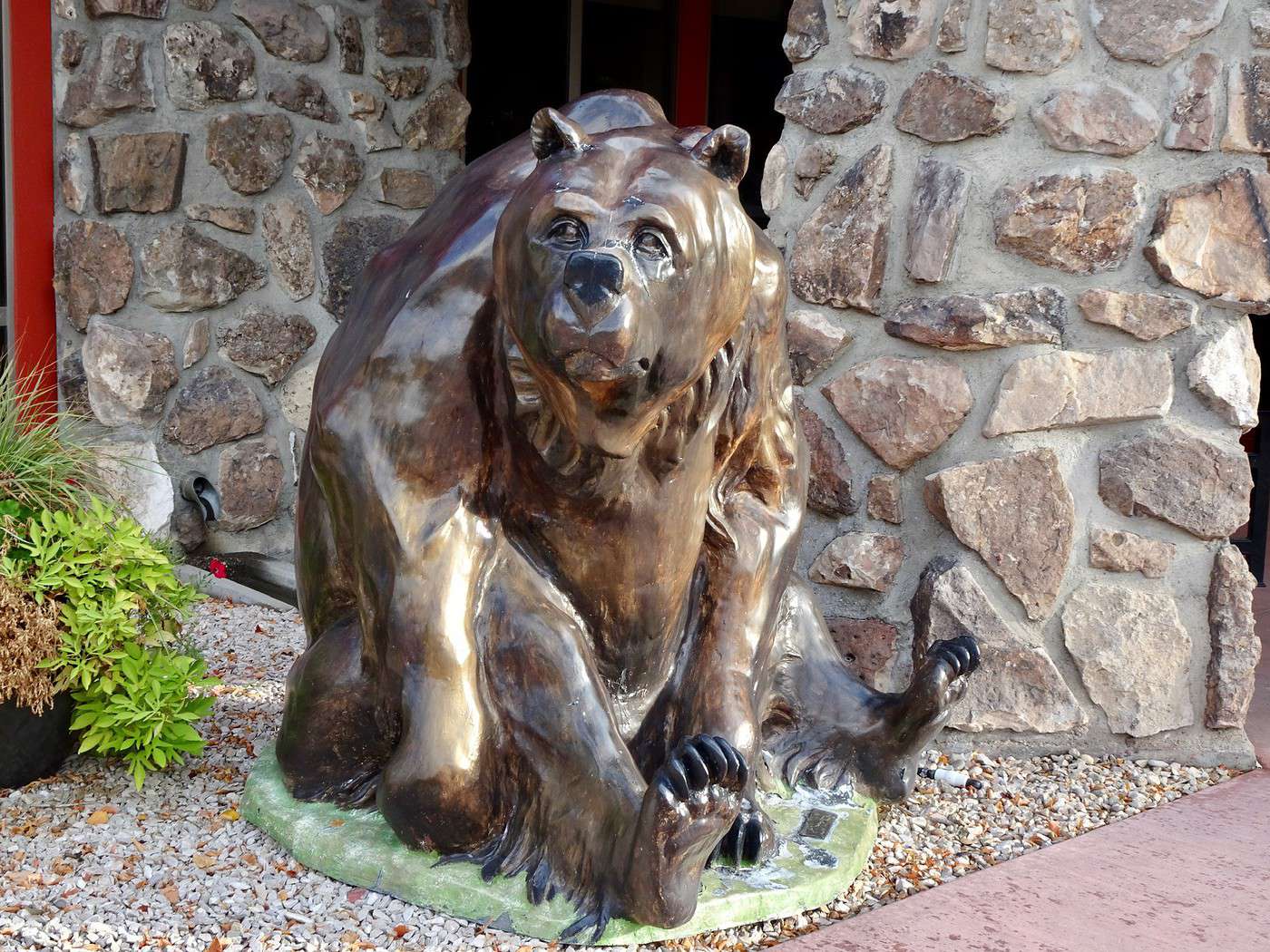
Unfortunately, issues with one of our bank cards will make us wait for the banks to open, so we won’t leave Cody and its bronze animal statues until 9:30.
Chief Joseph Highway
It follows the path taken in 1877 by this Native American chief when he tried to lead the 1,000 members of his Nez Percé tribe to Canada while fleeing the U.S. cavalry, who wanted to confine them to a reservation.
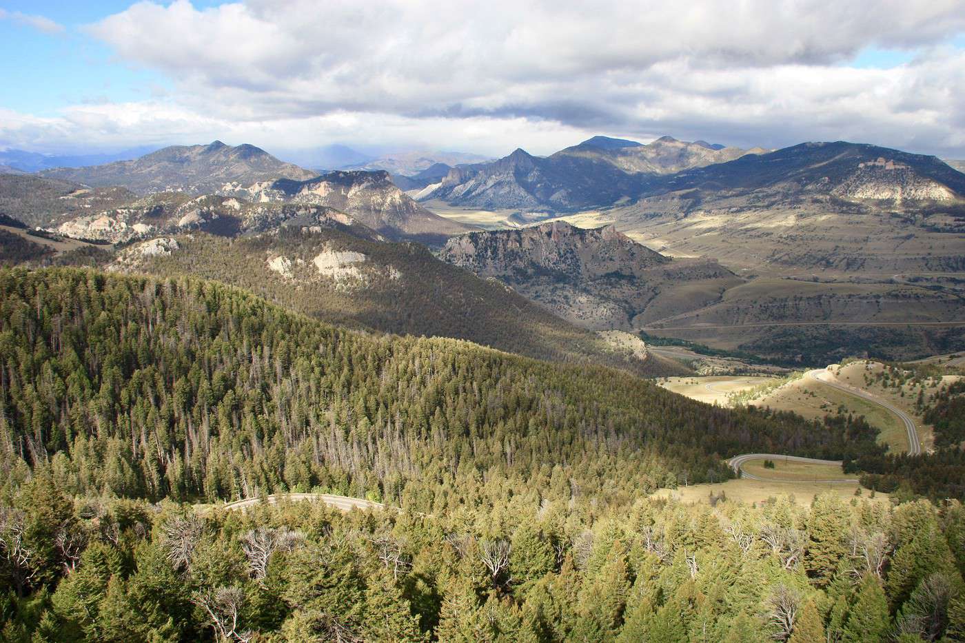
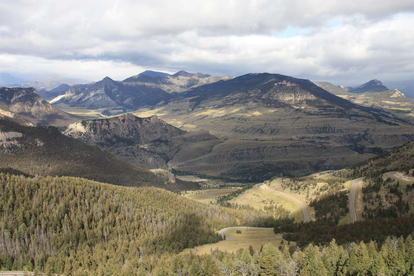
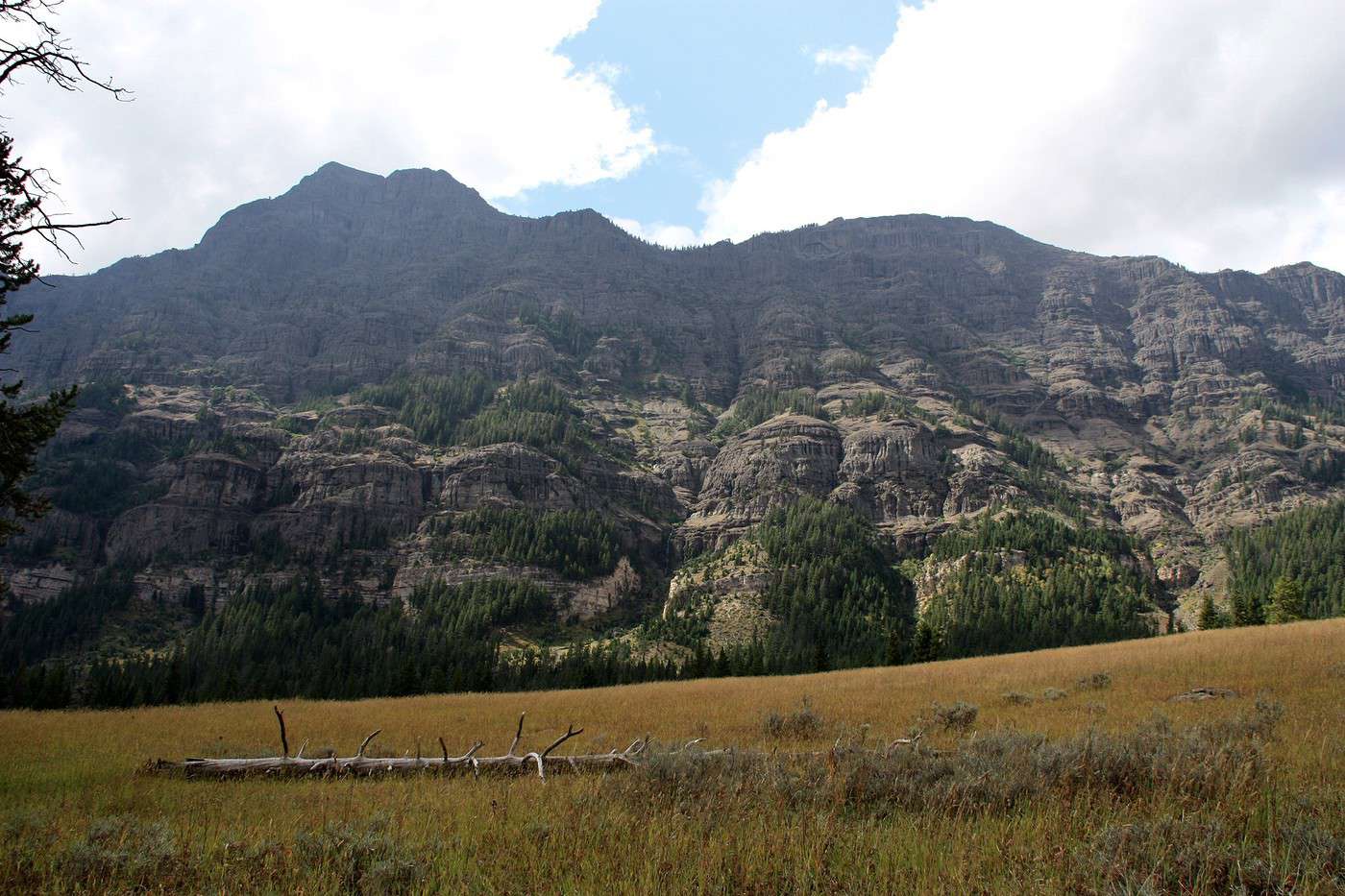
This spectacular road winds through the Shoshone Forest across the mountains.
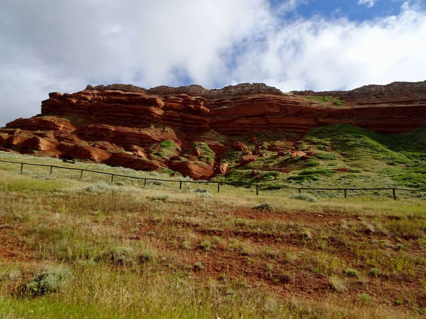
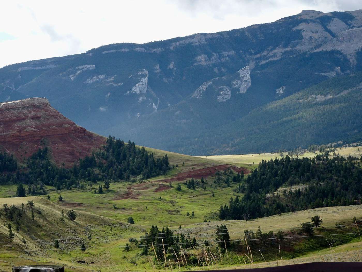
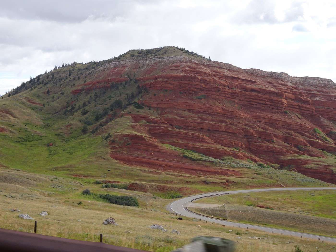
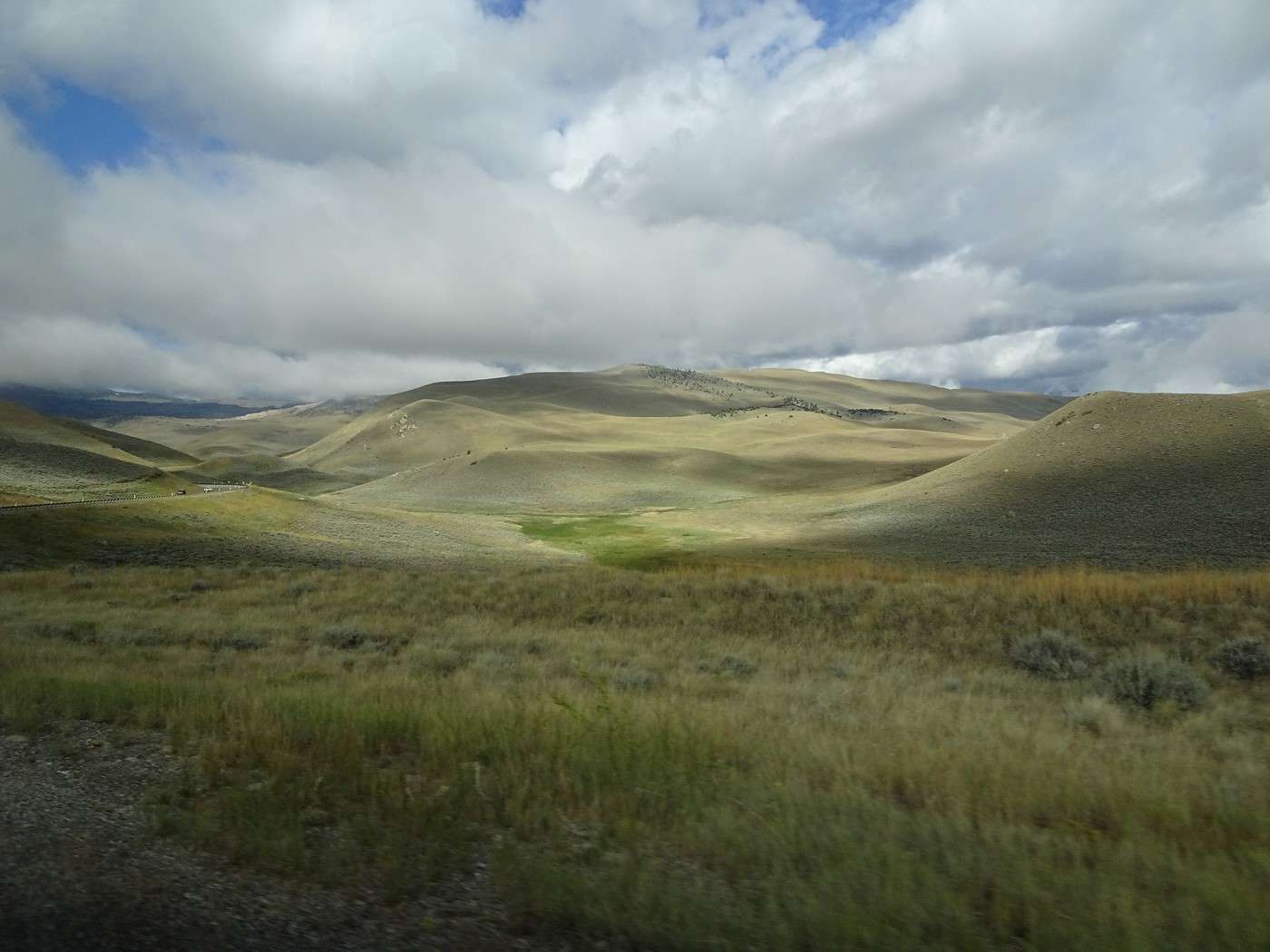
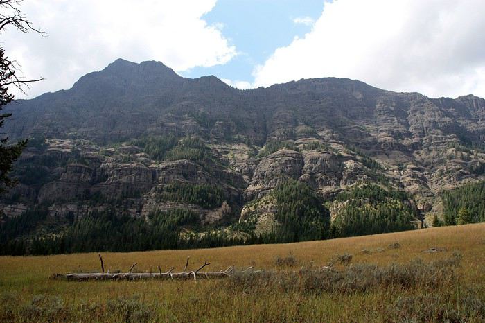
The pale green rolling hills surrounded by red rocks quickly give way to panoramic valleys framed by towering mountains.
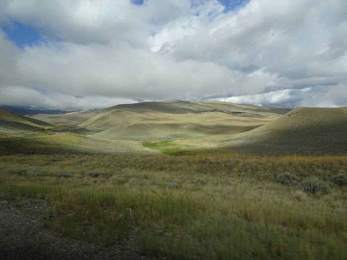
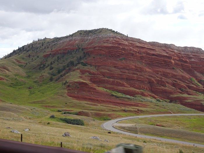
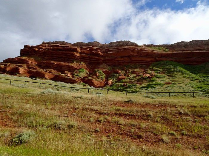
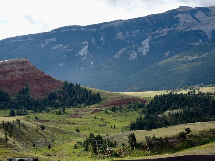
It goes up, it goes down, it twists and turns!!! It’s gorgeous!!!
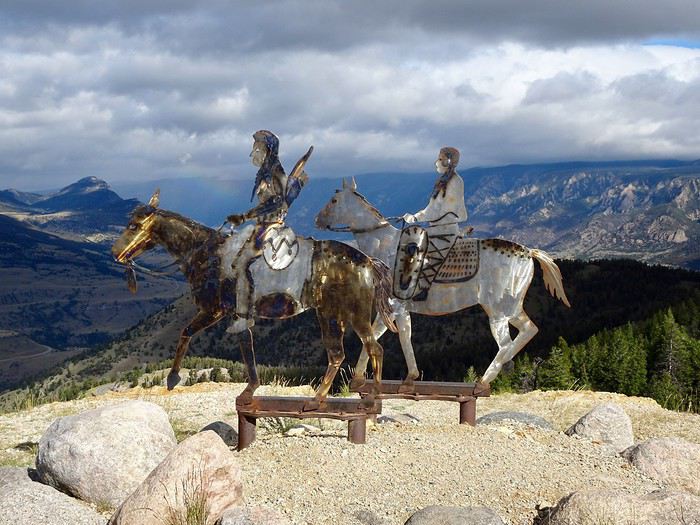
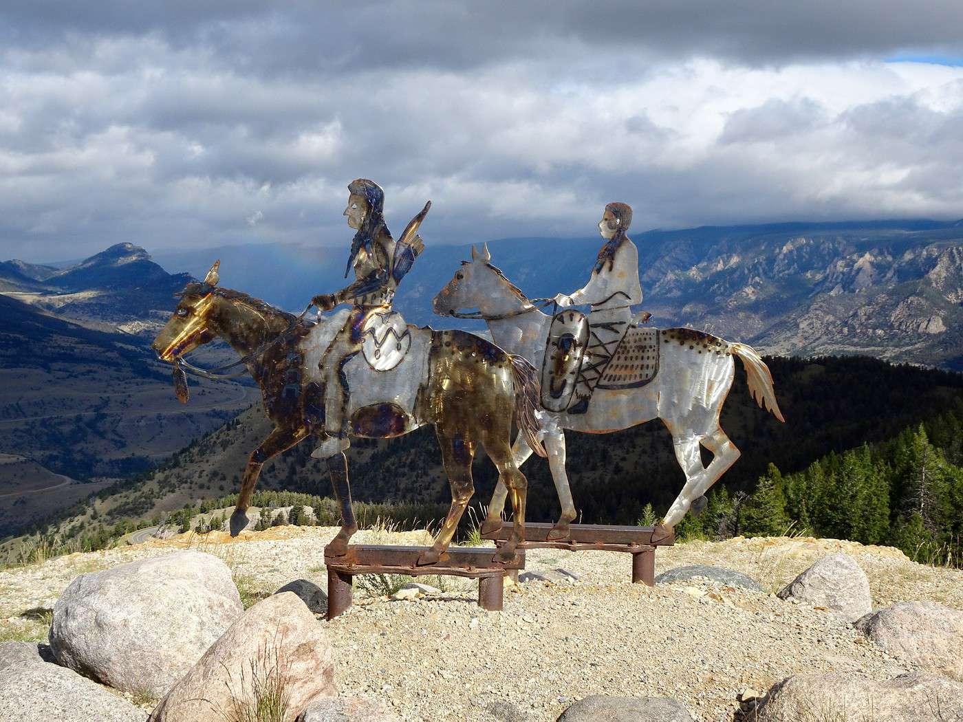
Dead Indian Summit OVL
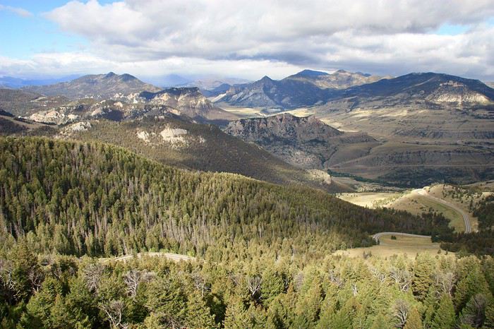
Once again, no words or photos can do justice to what we’re seeing.
Once again, these two life-sized Indians bring us back to the harsh reality of the tragedies that unfolded in these remote lands.
From there, the road winds back down through the forests.
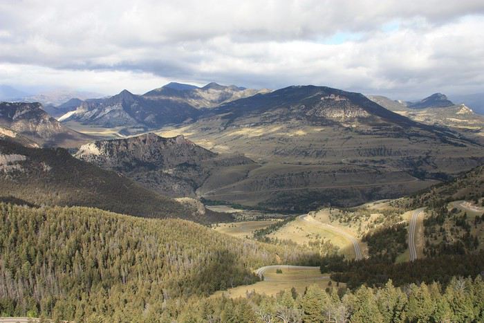
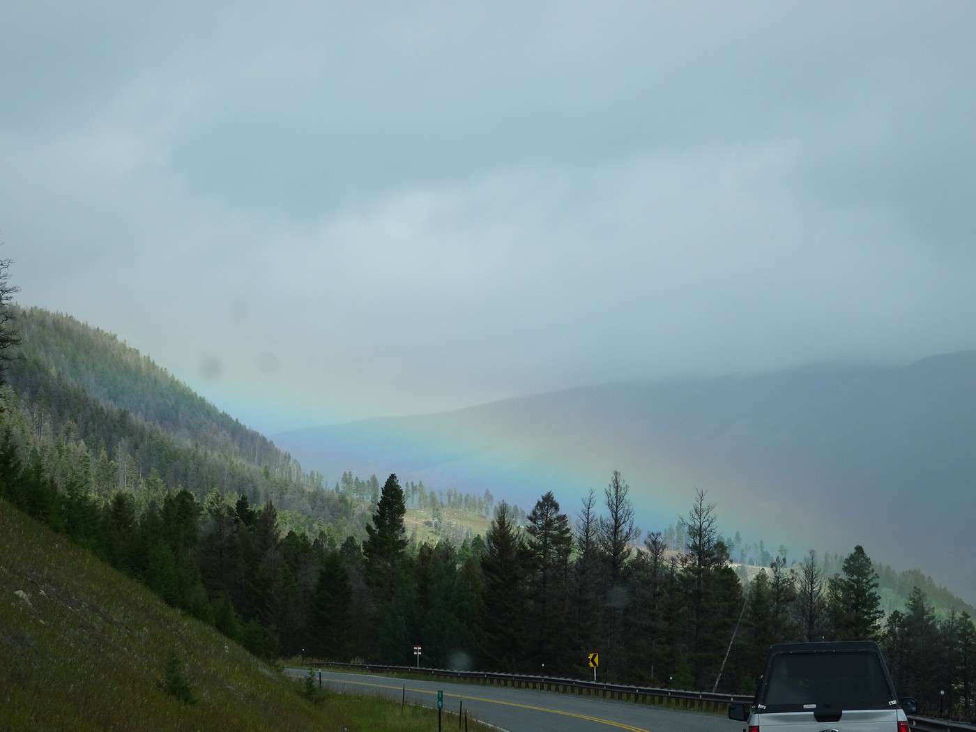
We even get a little rainbow.
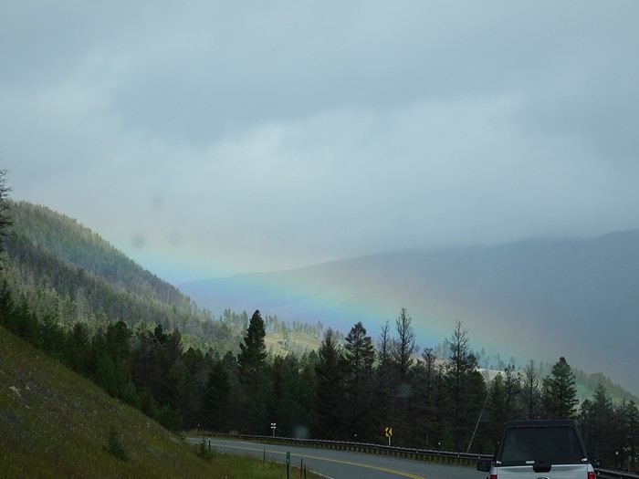
We cross the Sunlight Bridge (where I’d read the view was supposed to be amazing), but it’s under construction, so we don’t stop—especially since a light drizzle keeps misting up the windshield.
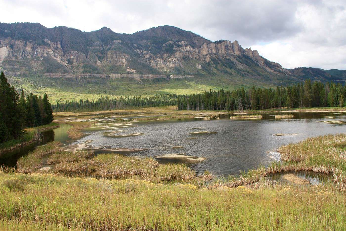
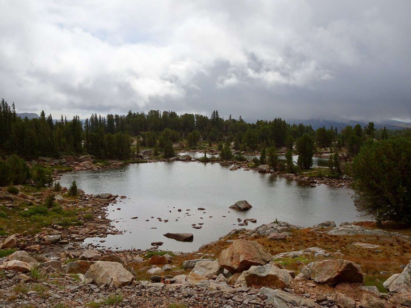
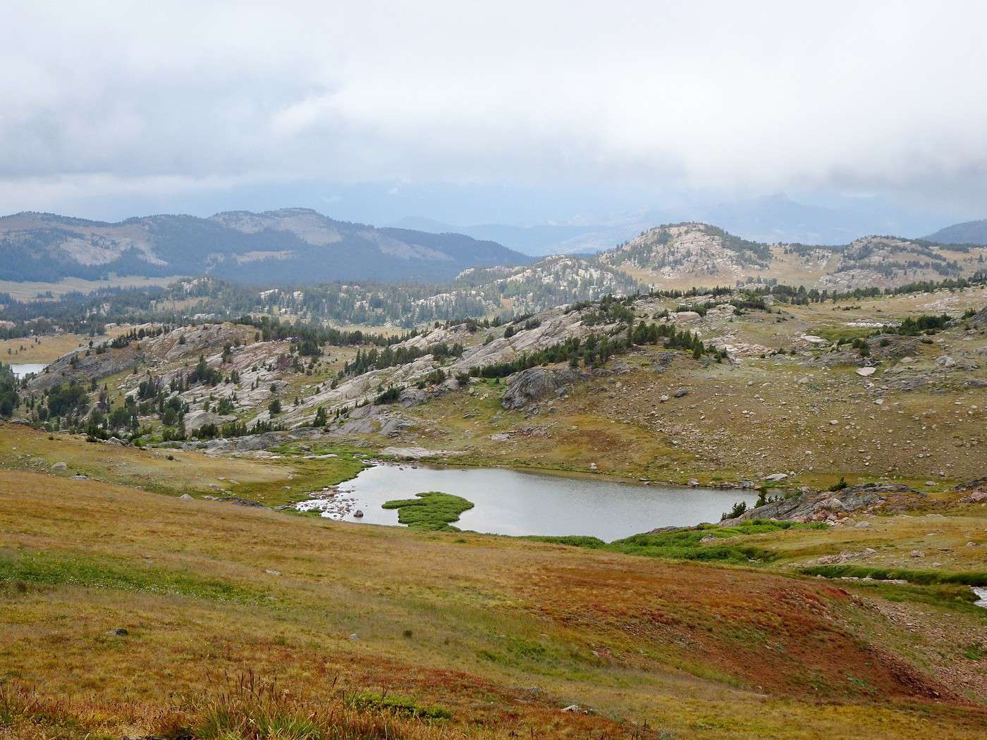
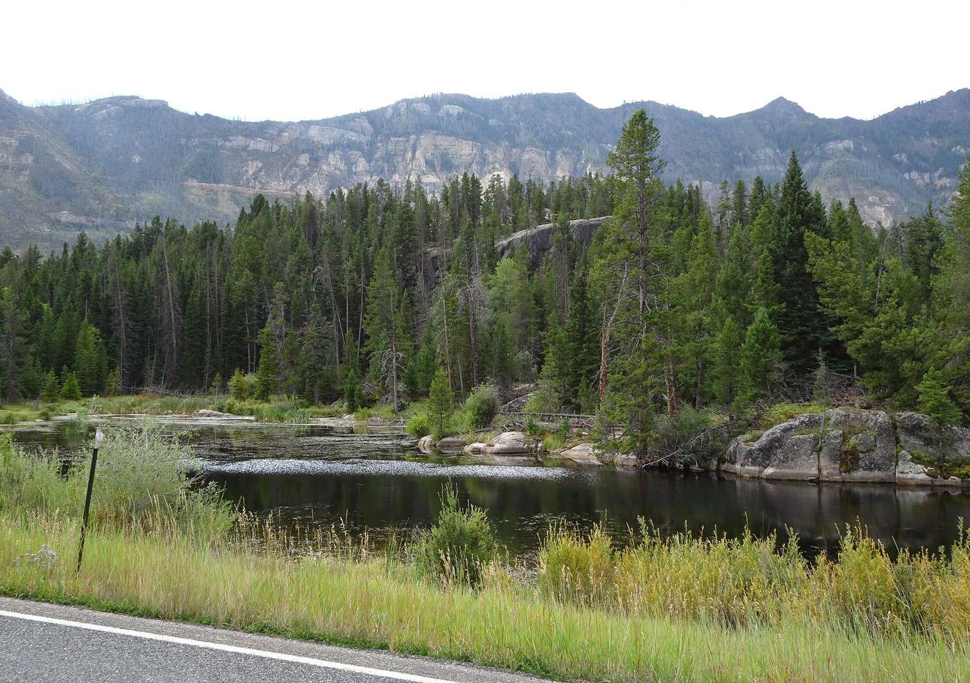
We start passing small lakes below pink and gray rocky ridges.
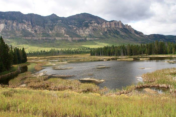
At 11 a.m., we arrive at the turnoff for the Beartooth Highway.
8°C, 5°C, 4°C, 3°C!!! The temperature keeps dropping as we climb!!!
Oh no!!!! What’s with this weather!!!!
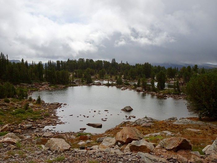
Everything’s gray!!! The blue sky and sun have completely disappeared!!!
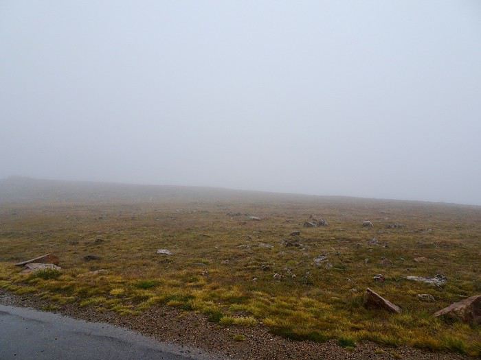
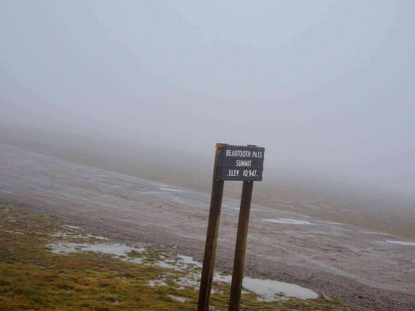
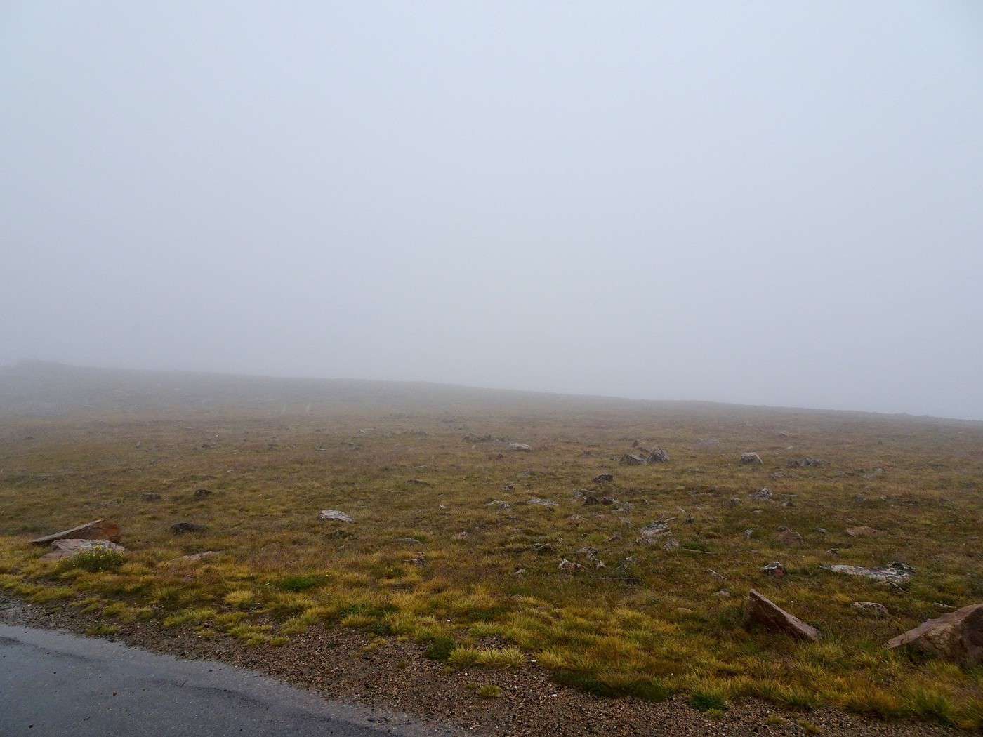
At Beartooth Pass Summit, it’s 1°C!!! A kind of sleet has replaced the rain, the wind’s blowing, and we’re in pea-soup fog!!!
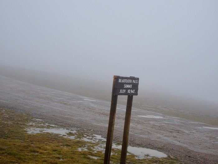
What do we do????
Do we keep going to Rock Creek Vista as planned, hoping to break through the clouds, or do we turn back now and spend more time on our first foray into Yellowstone???
Come on, let’s turn around—it’s the smart move!!!
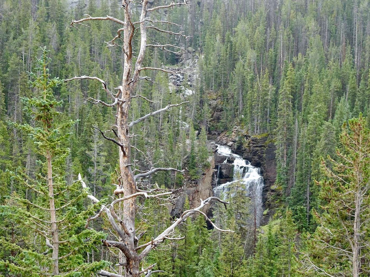
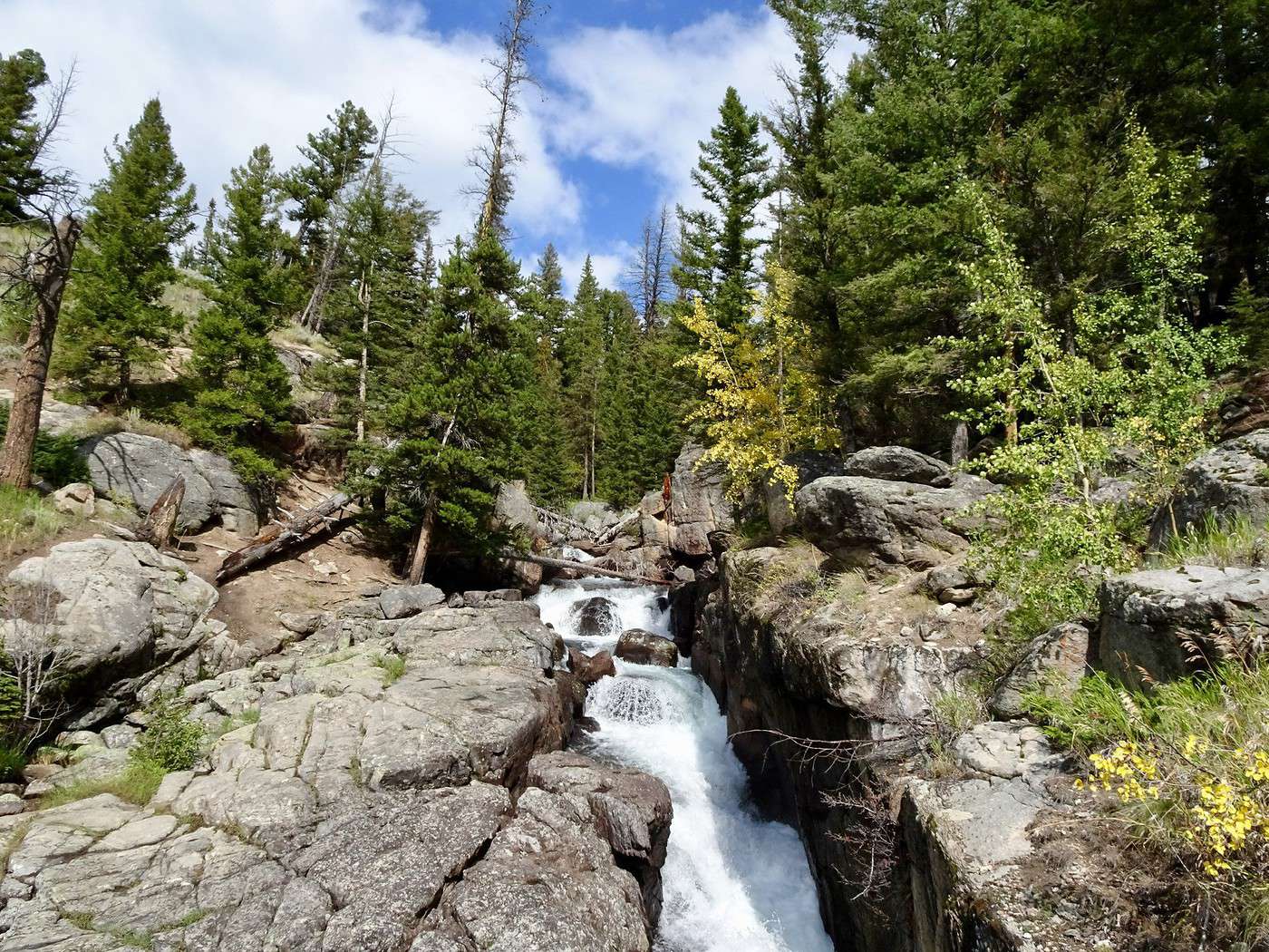
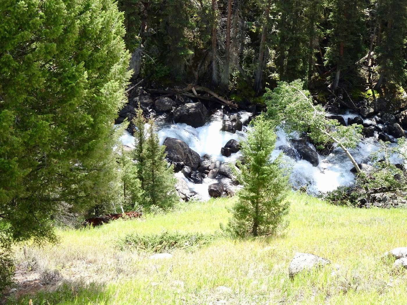
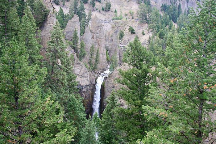
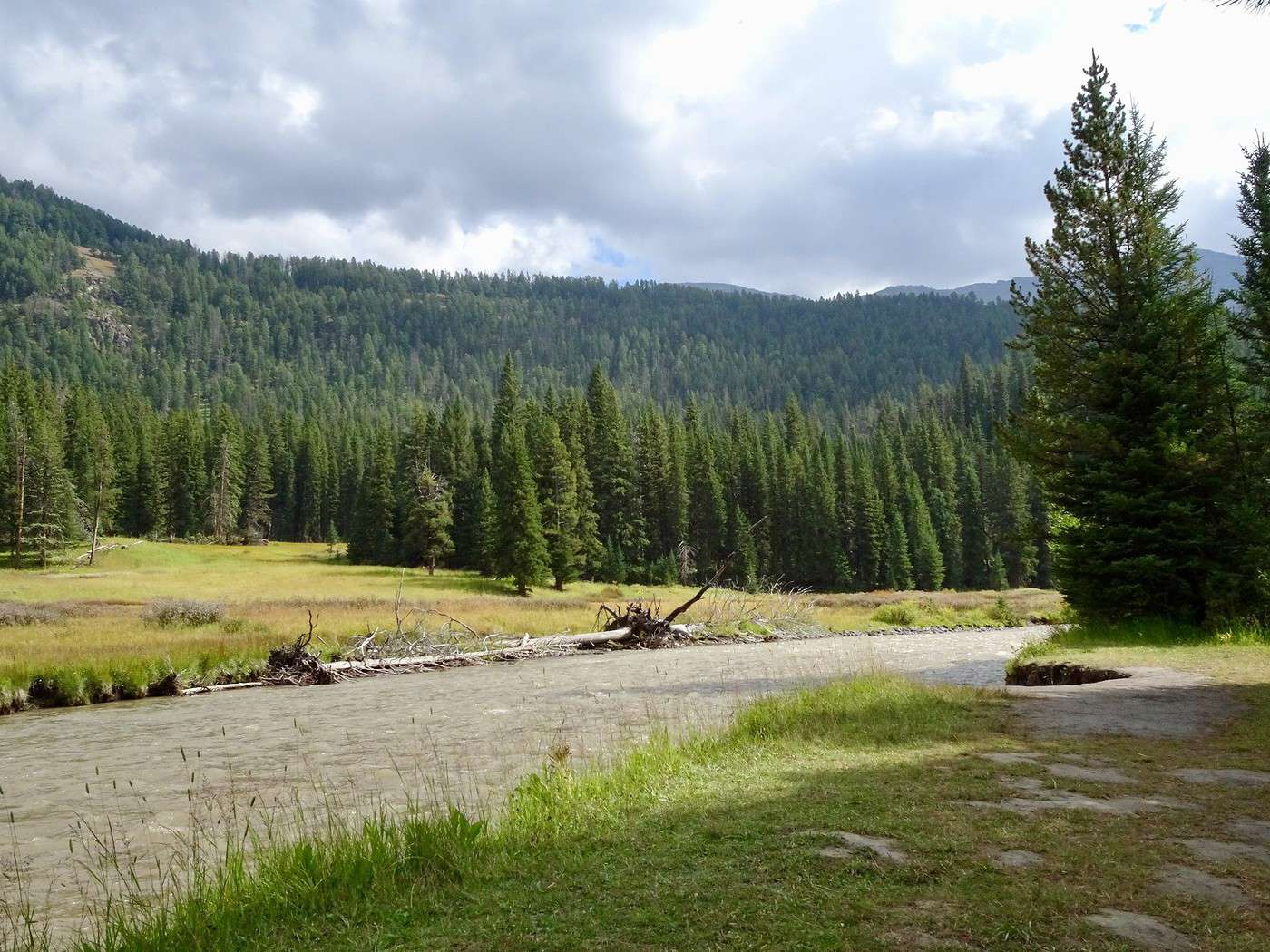
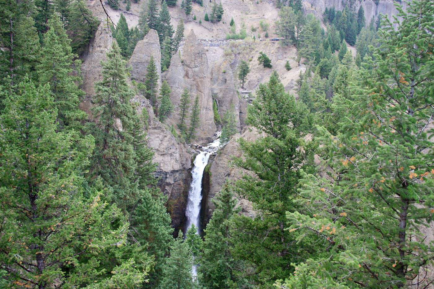
As soon as we start descending, it clears up, and the sun and blue sky make timid appearances: river, waterfall, pine trees, little lakes—this road’s pretty too!!!
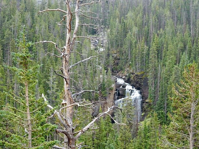
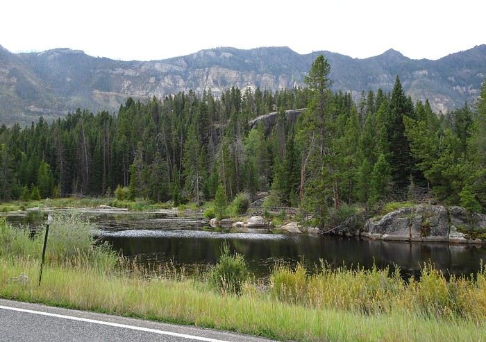
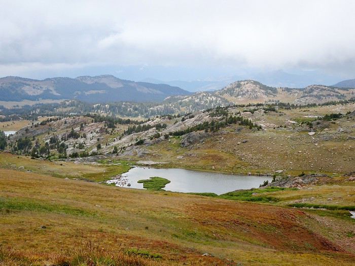
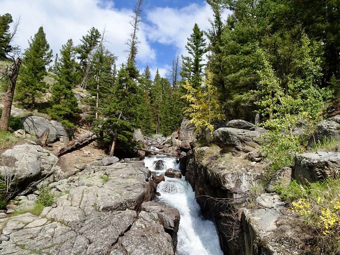
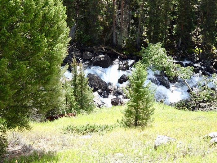
1 p.m., we’re in Cooke City.
The hotel owner checks the availability of our place. Cool, it’s ready, and he kindly gives us the keys 3 hours early!!!!
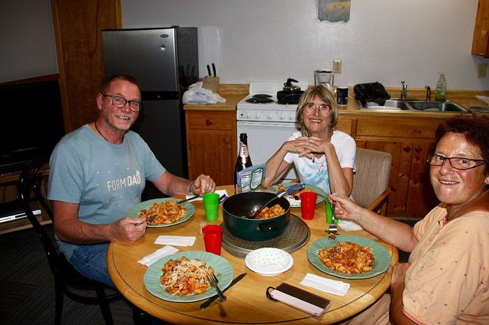
Nice guy!! That lets us have our picnic nice and warm in our kitchen.
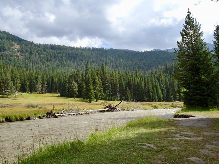

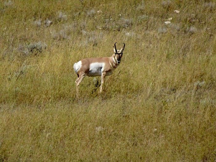
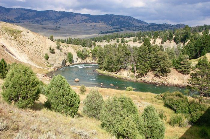
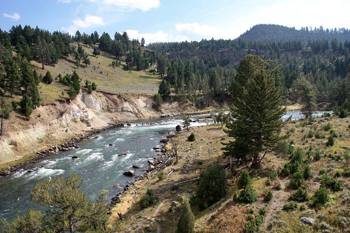
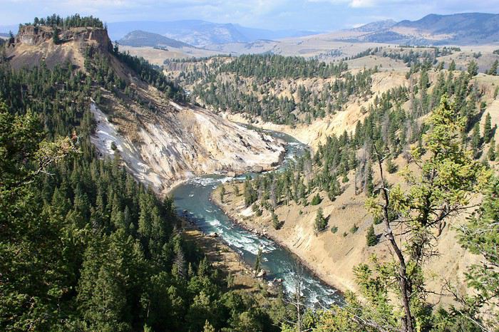
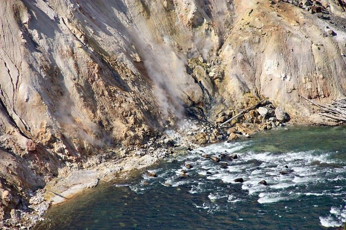
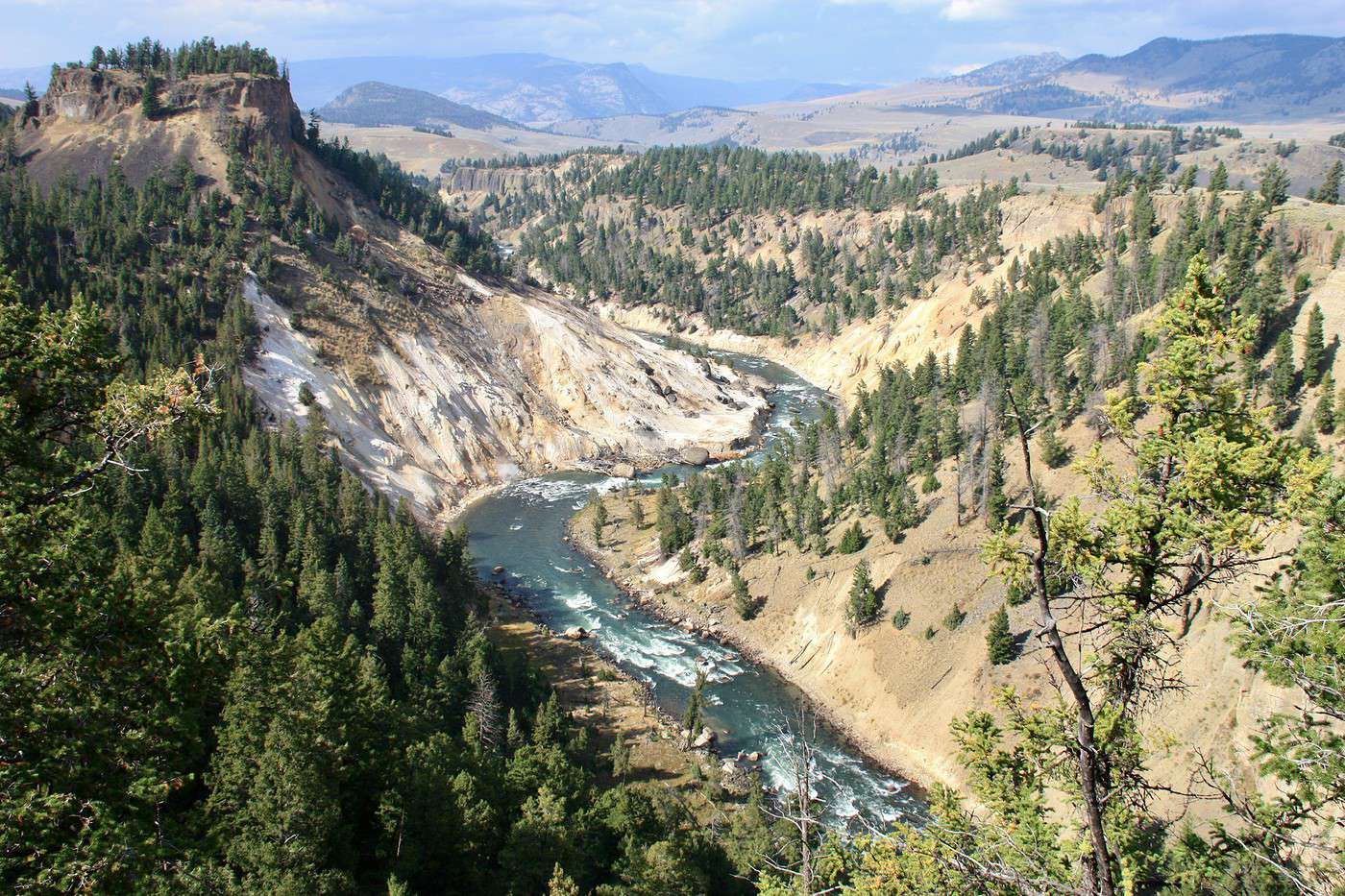
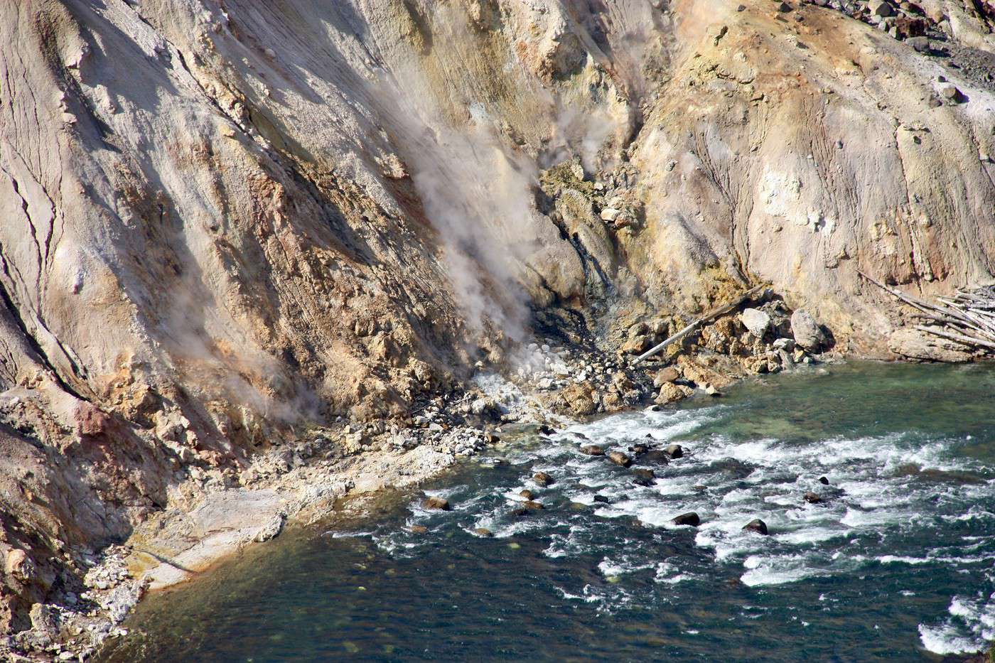
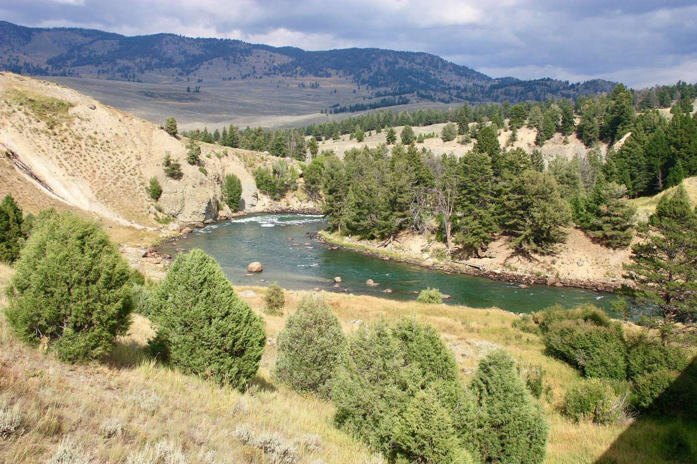
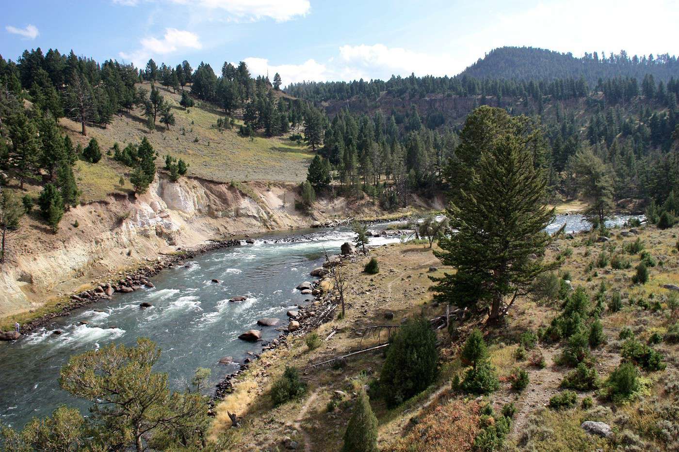
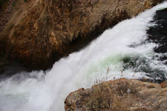
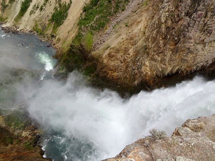
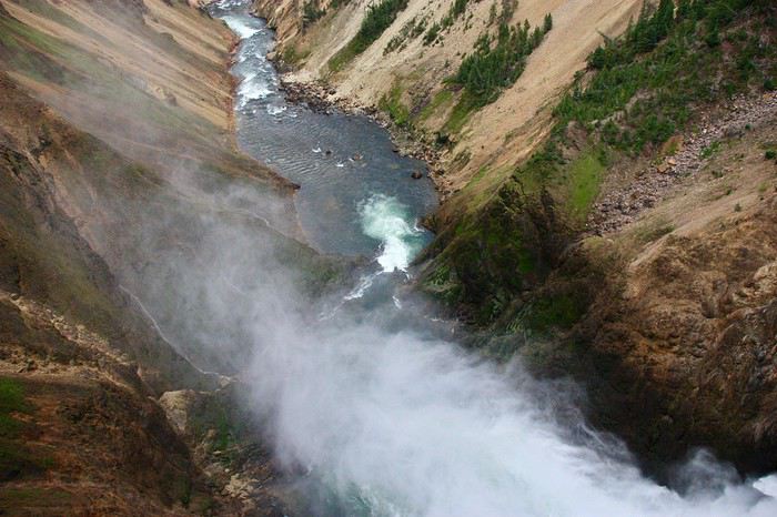
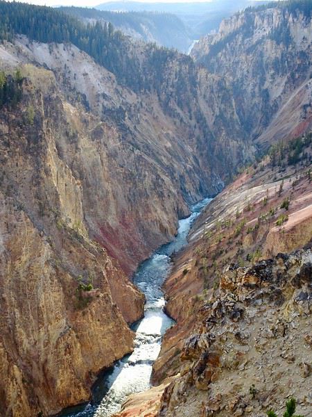
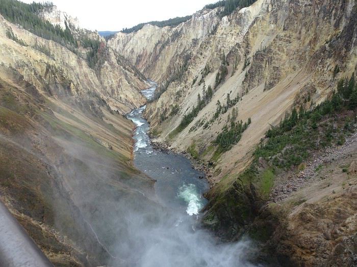
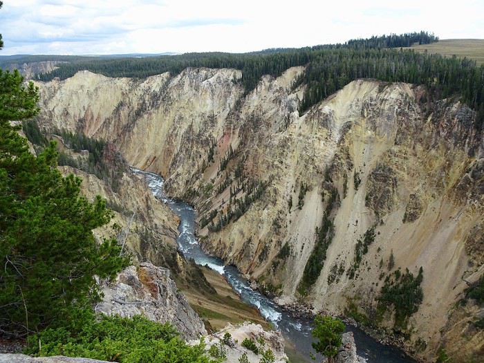
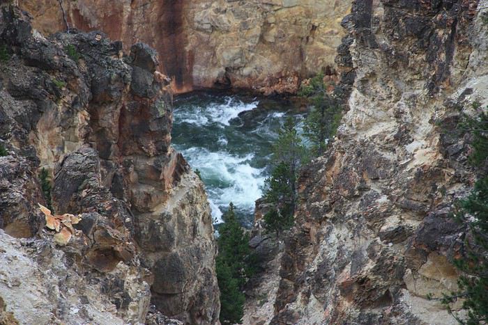
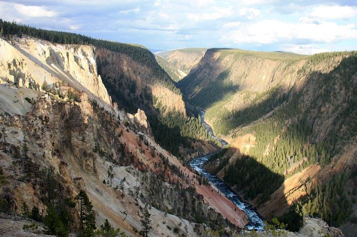
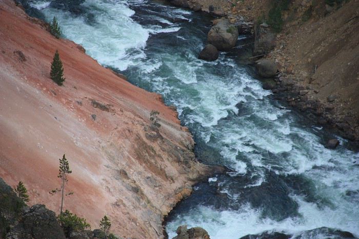
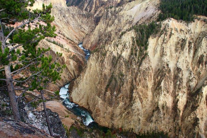
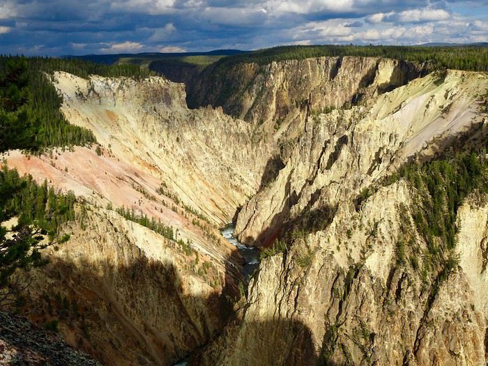
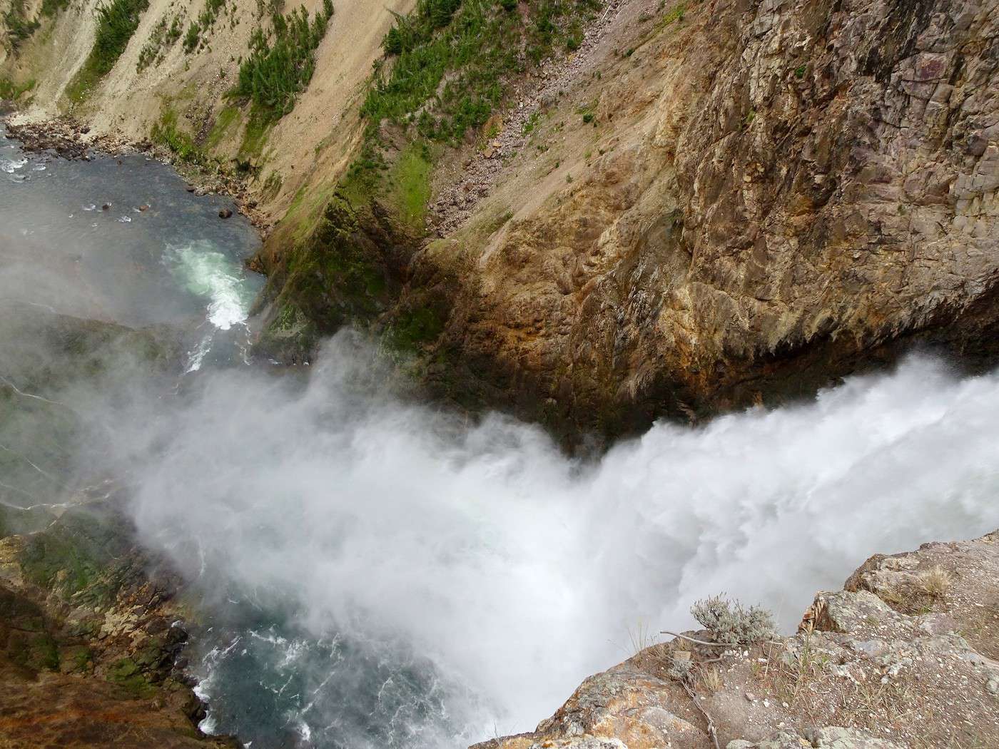
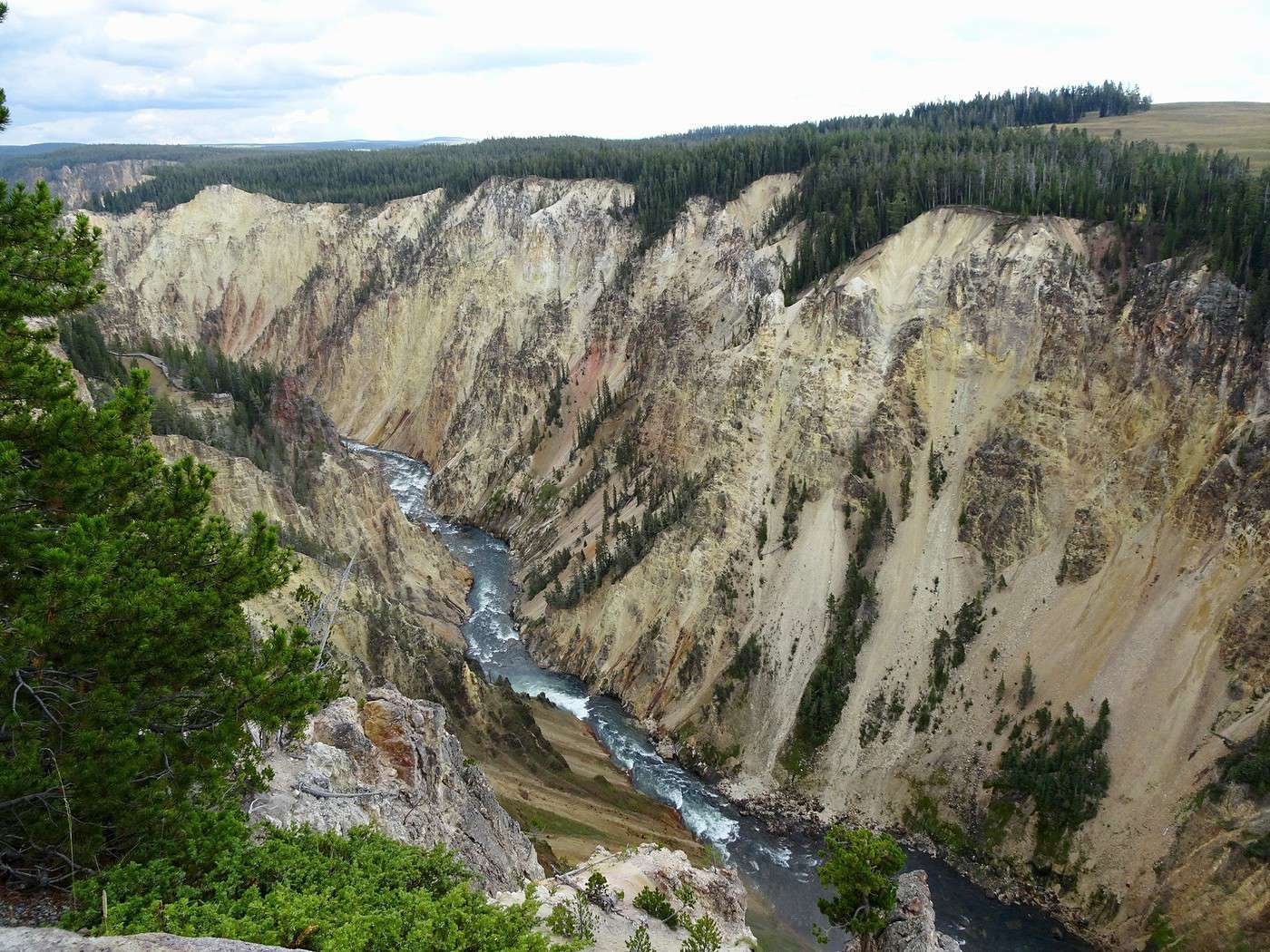
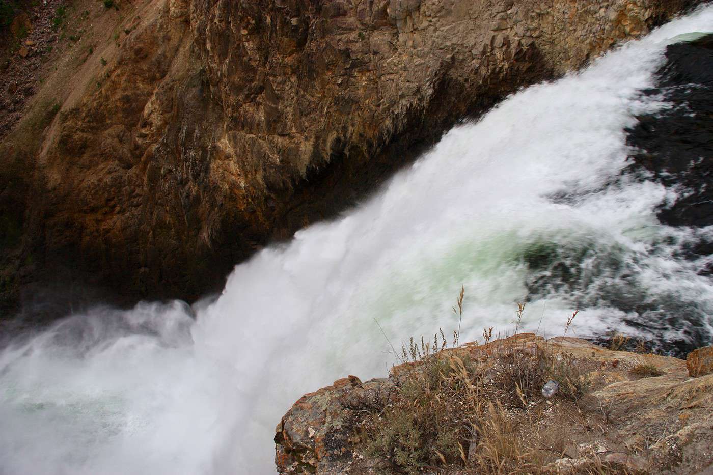
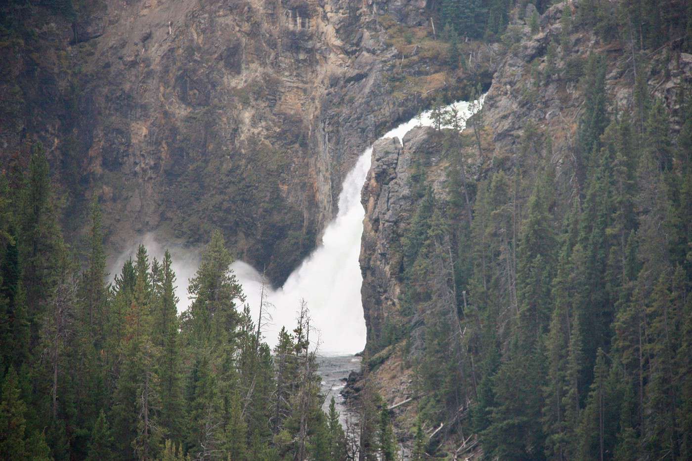
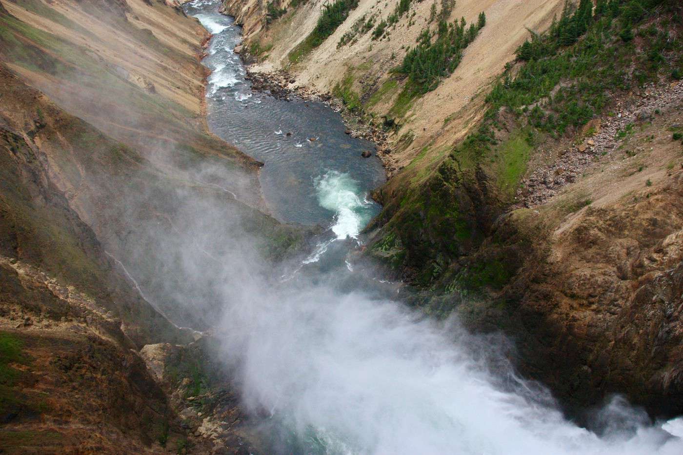
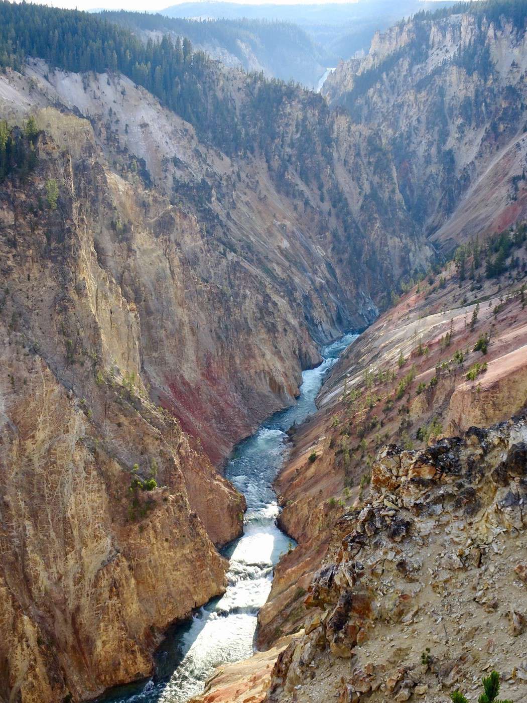
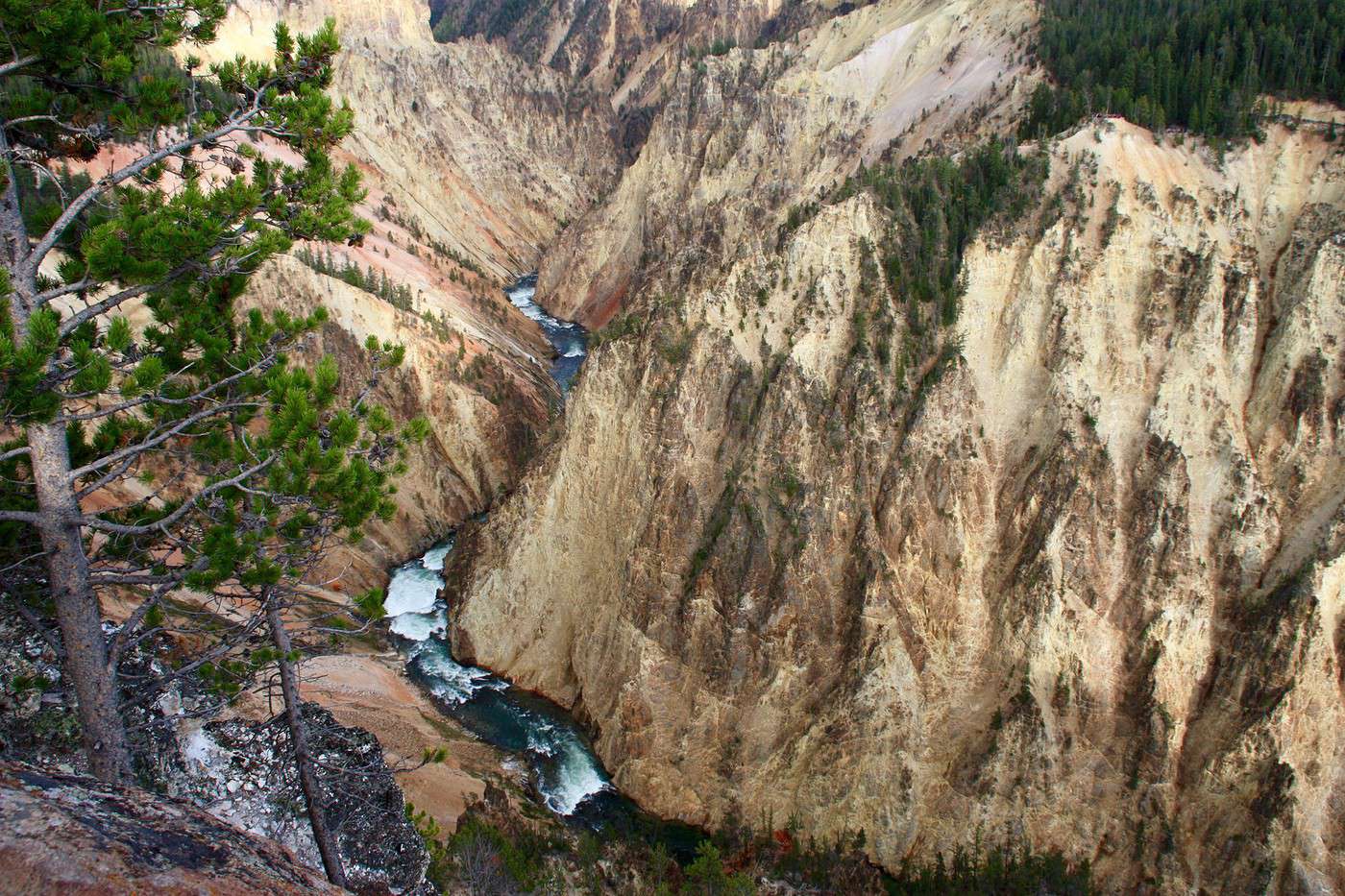
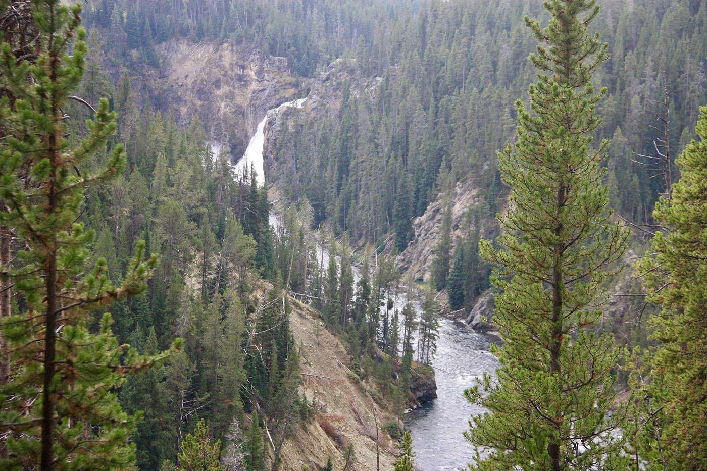
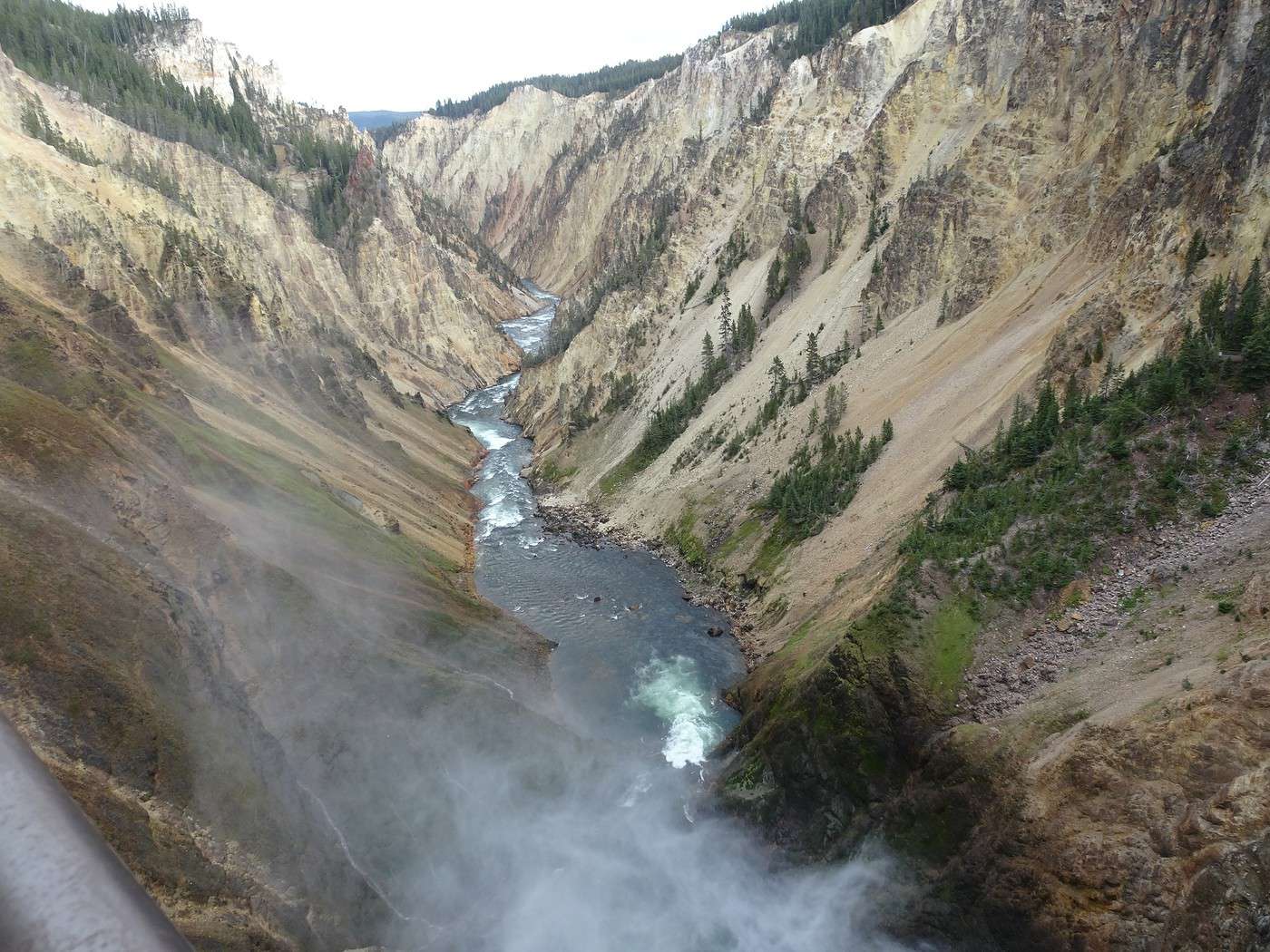
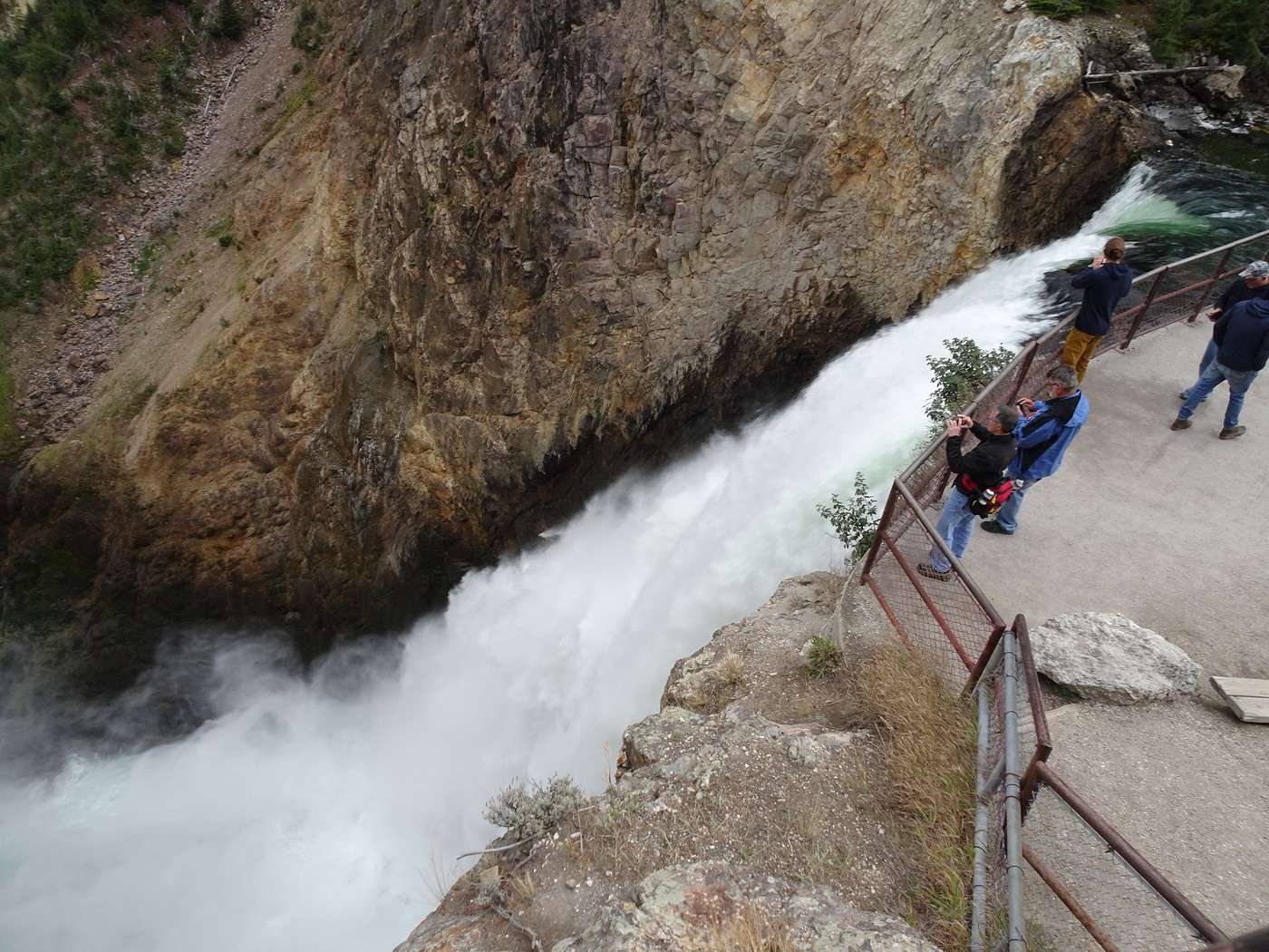
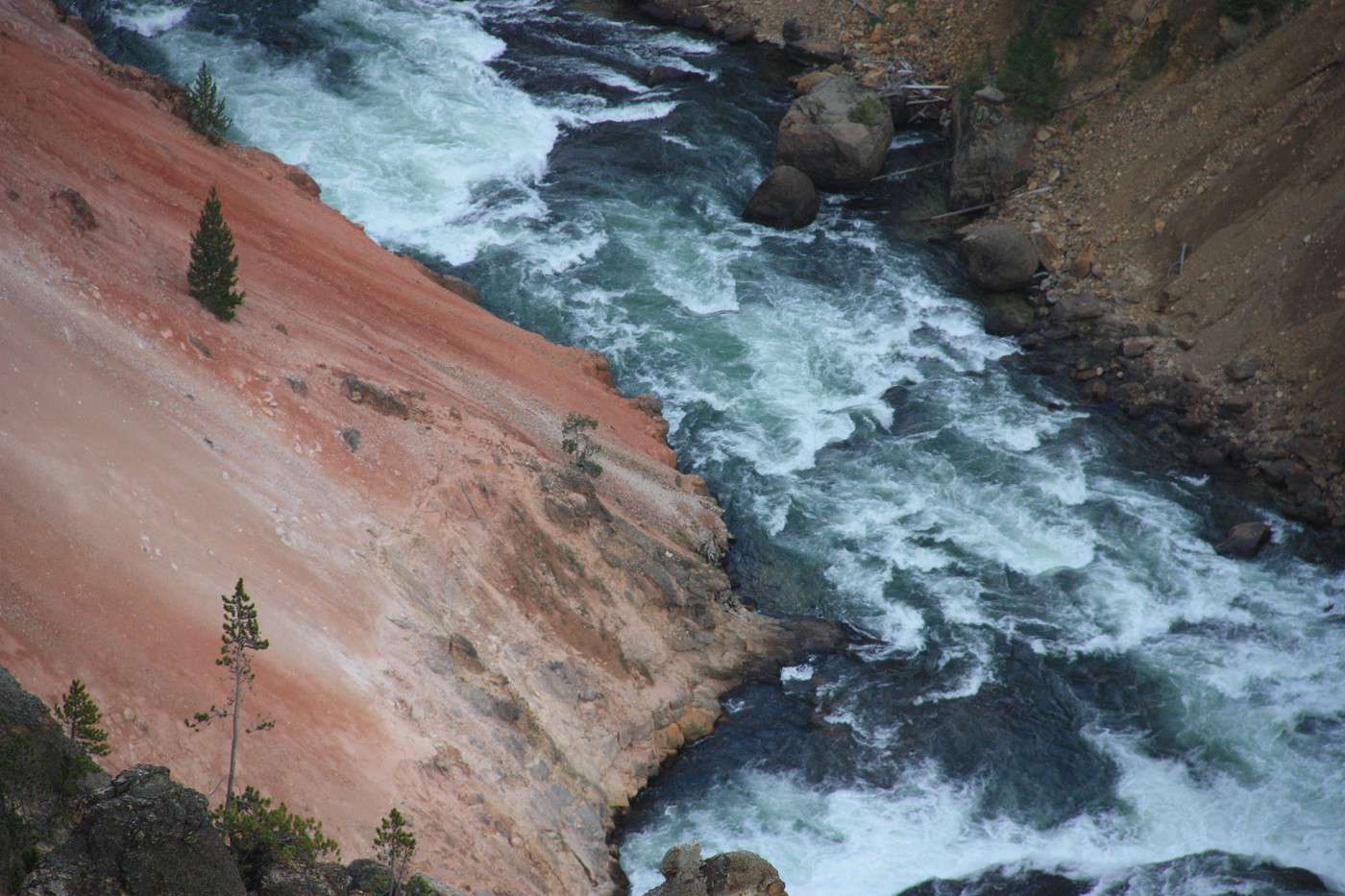
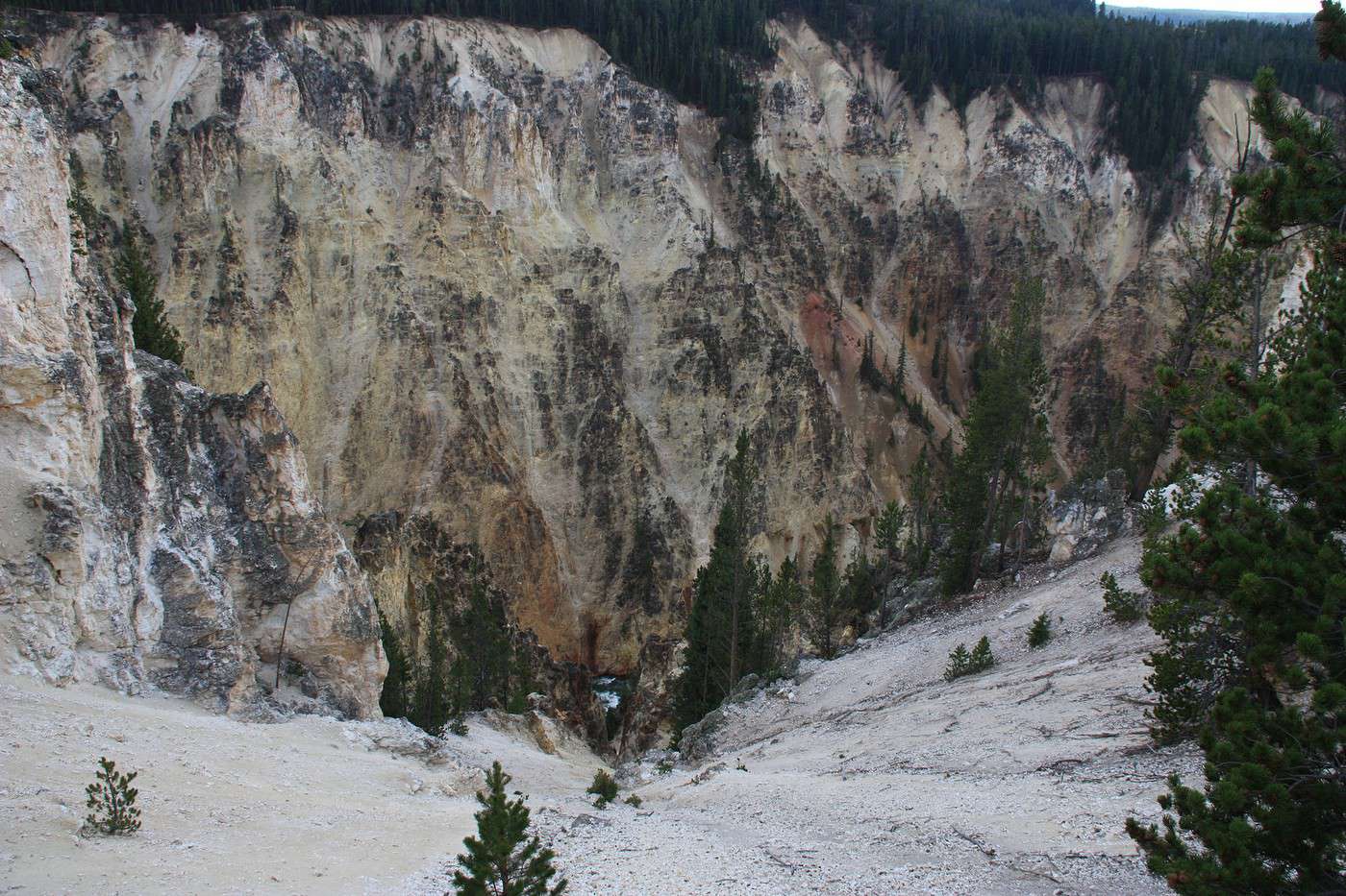
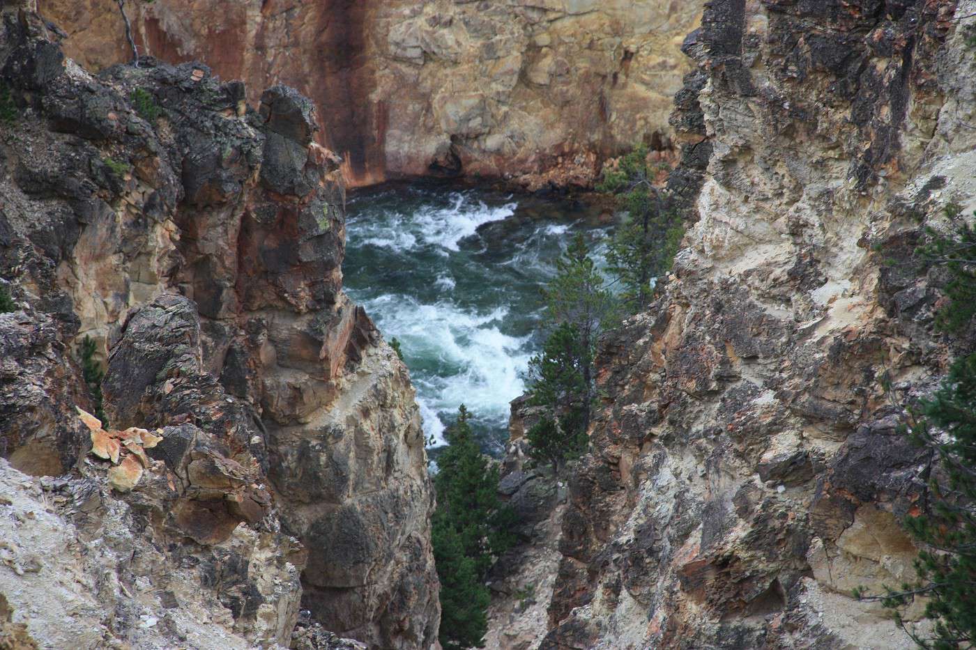
 The color of the water is stunning.
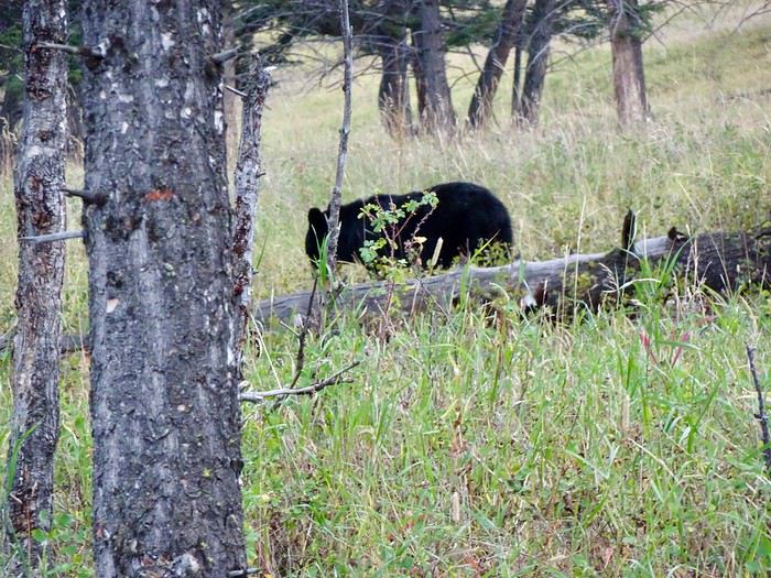
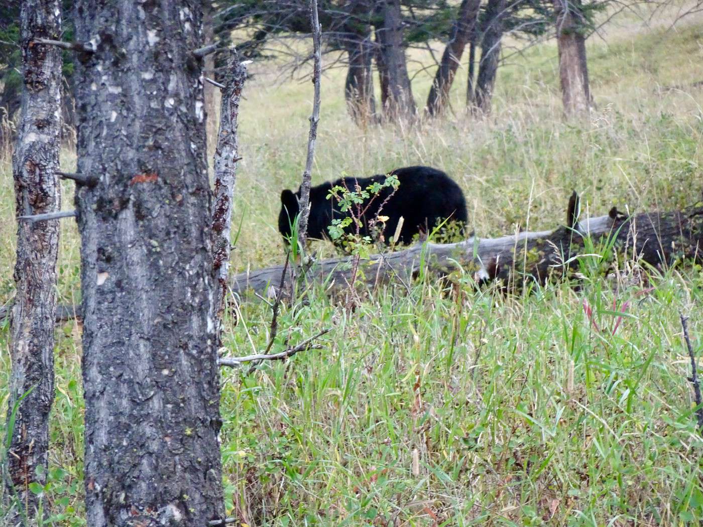
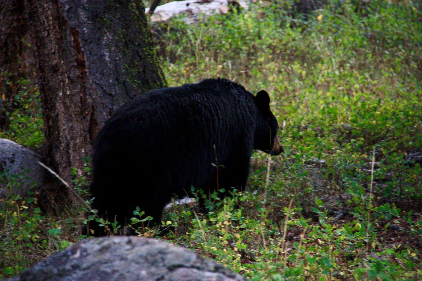
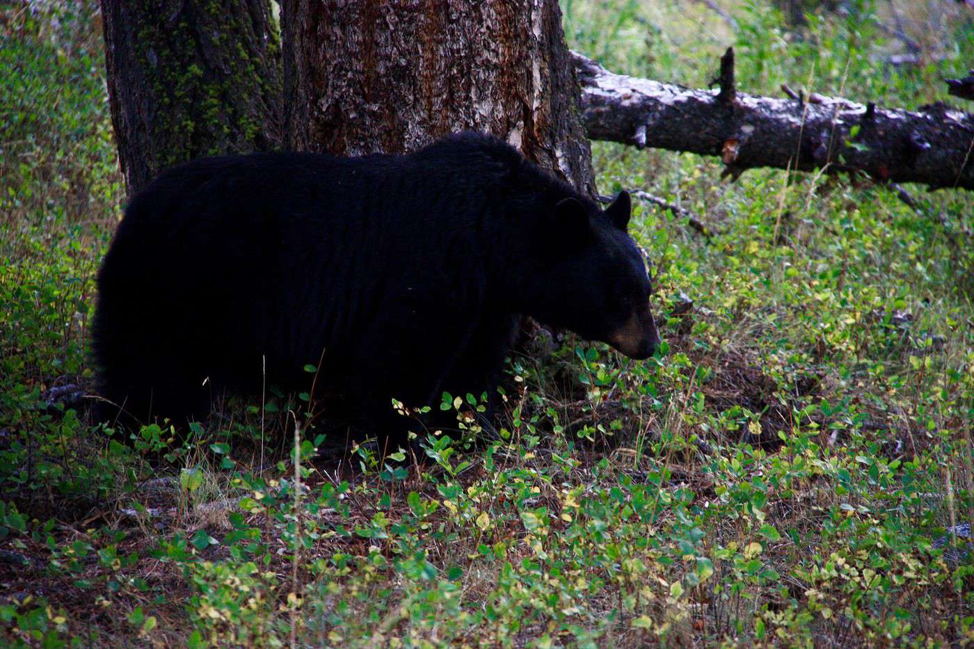
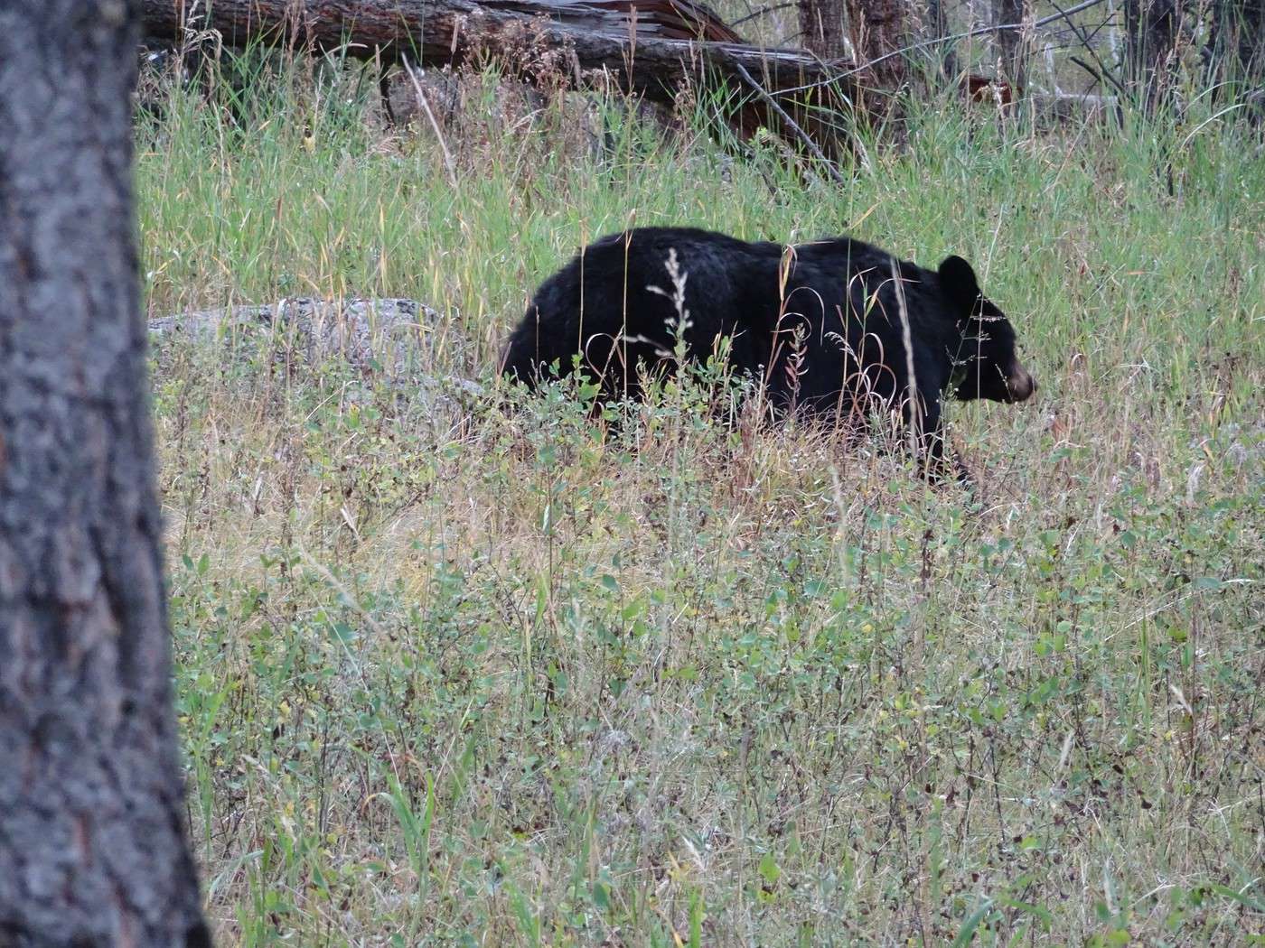
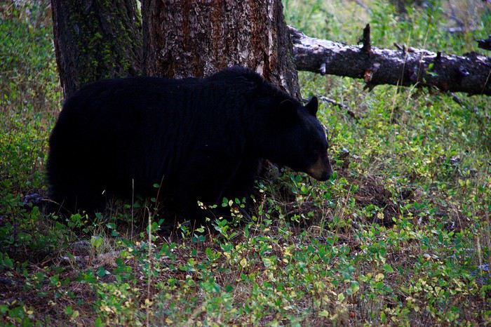 passes in front of the trunk
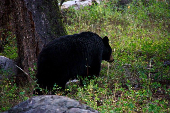 and finally turns away to continue its teddy bear life in Yellowstone without a care.
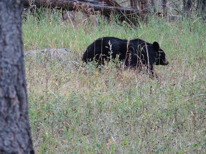
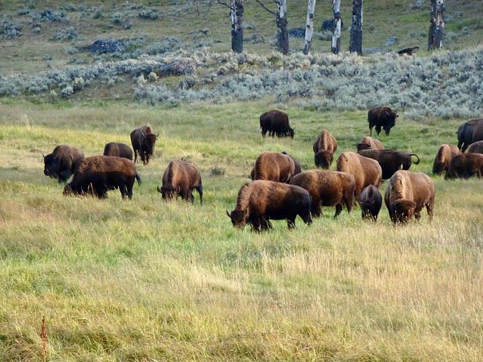
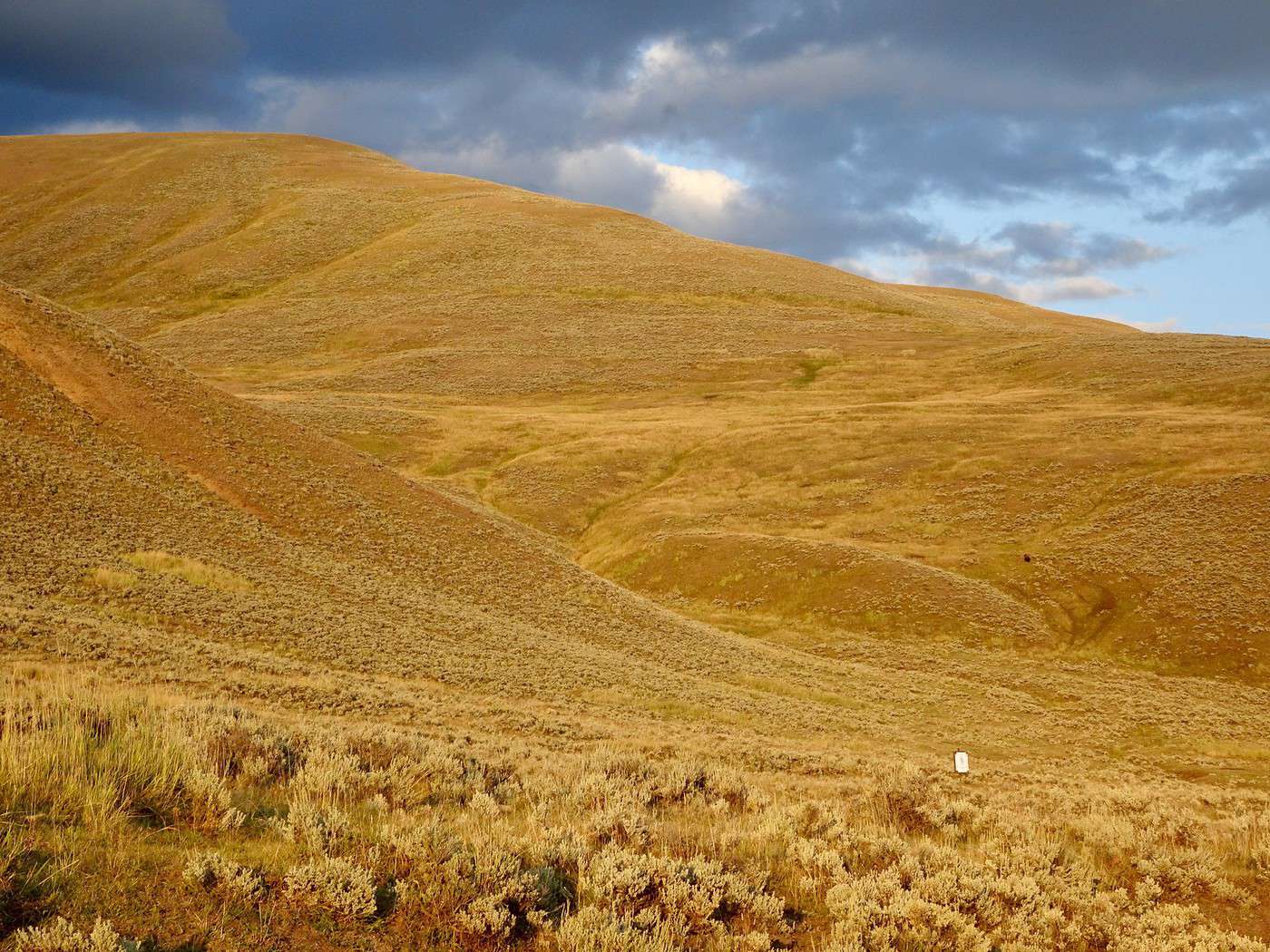
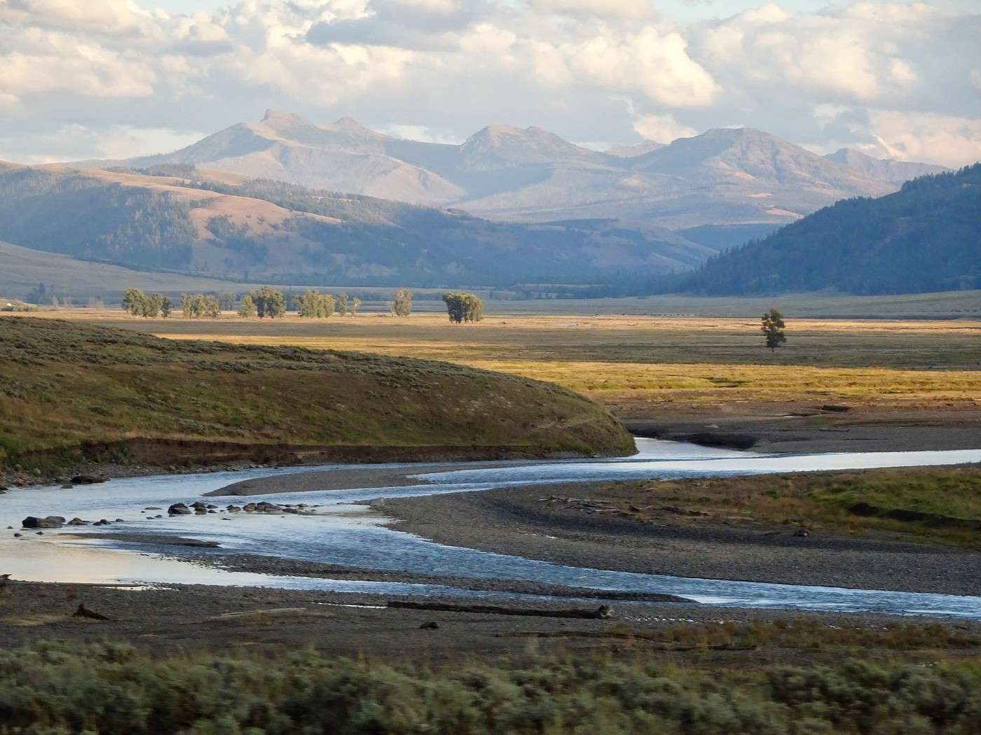
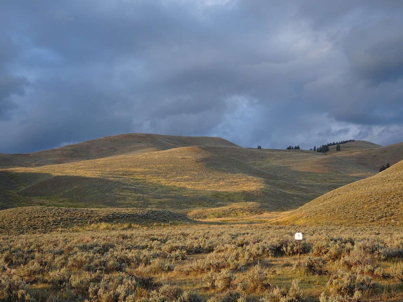
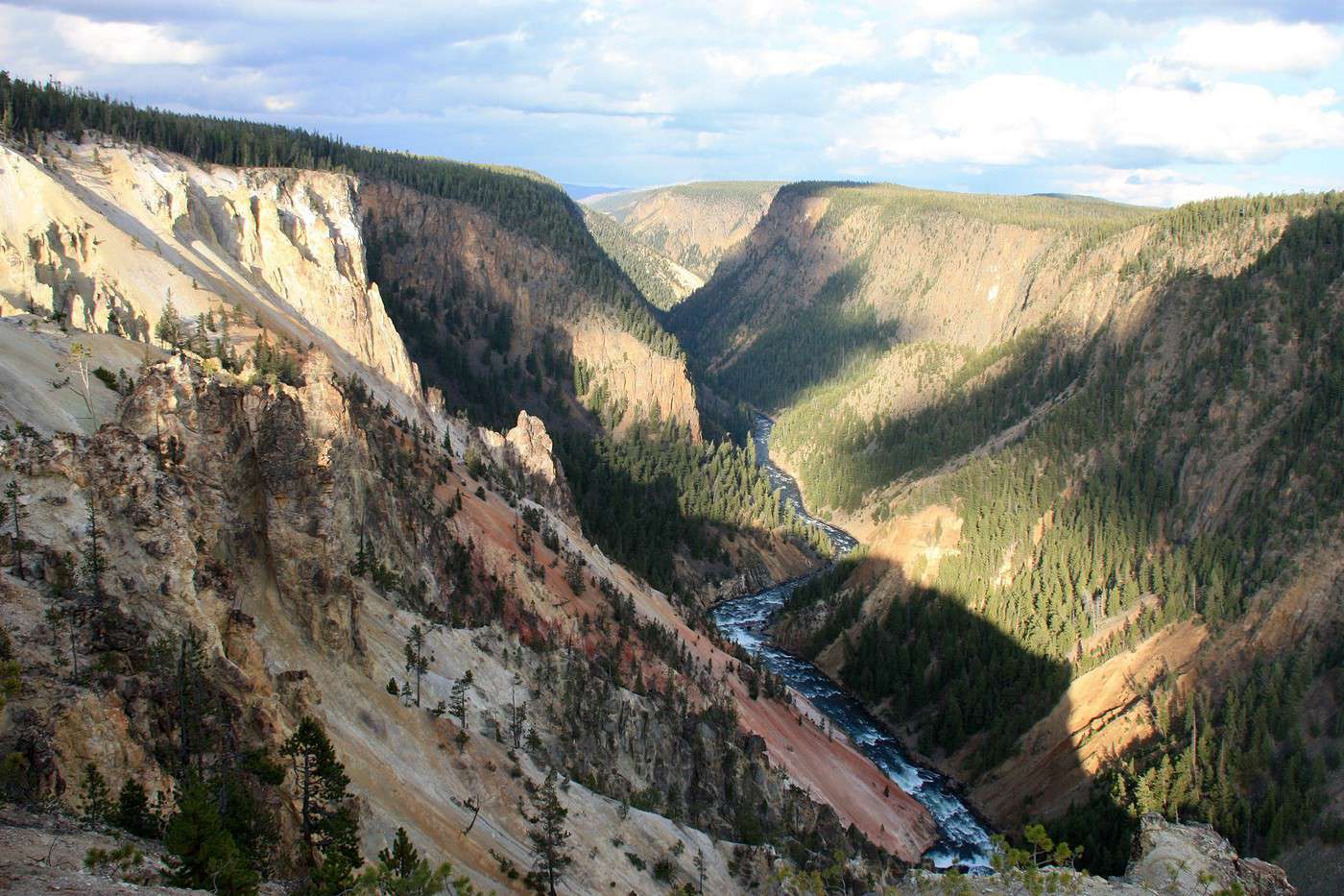
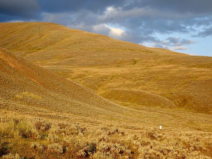 others, on the contrary, are wrapped in soft colors,
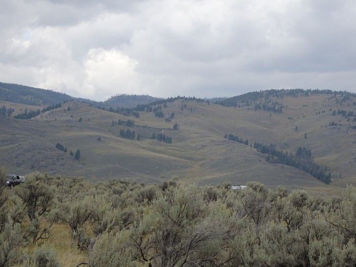
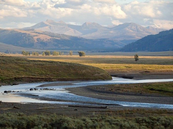
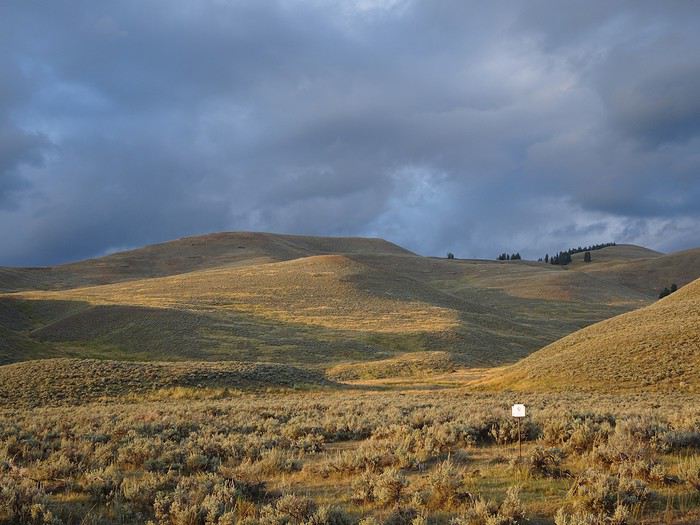 content to make the river water sparkle while the distant mountains gently fade away.
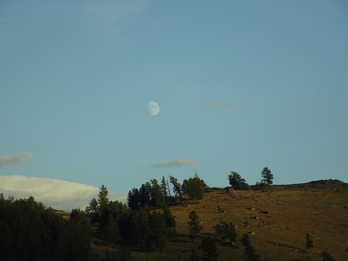
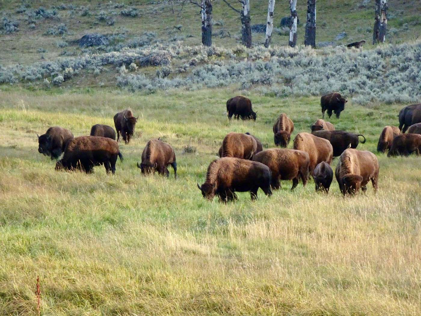
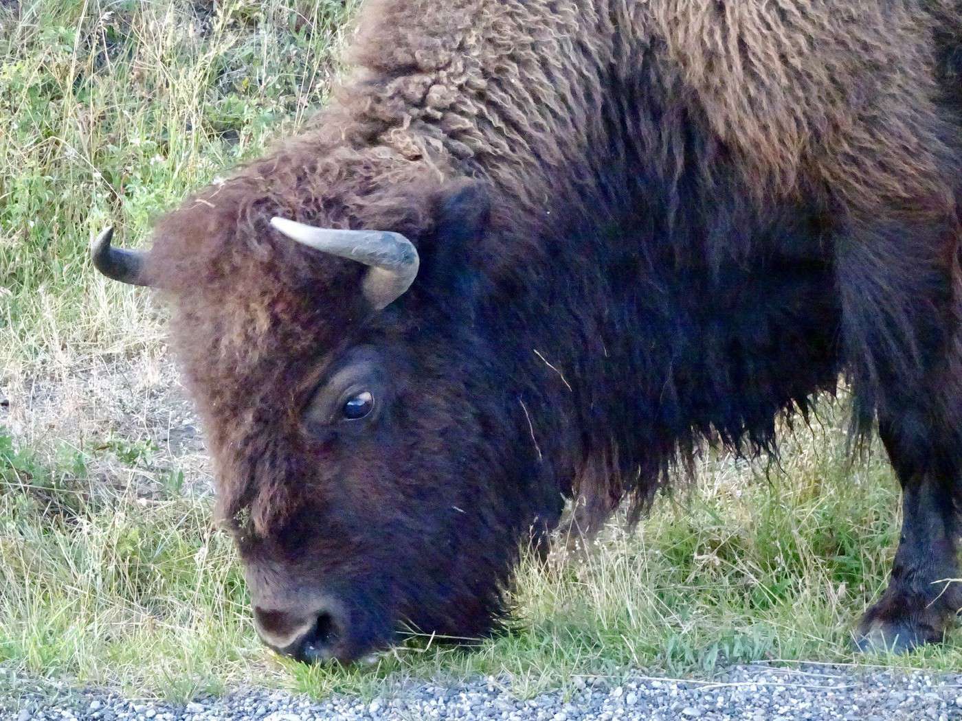
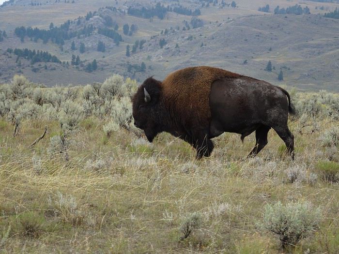
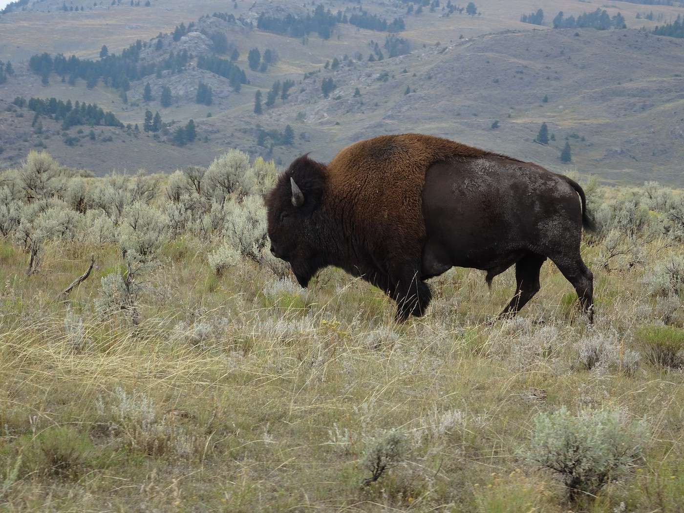
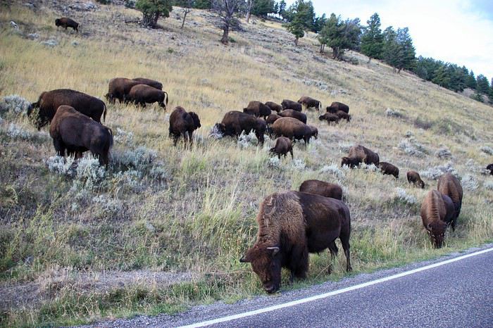 some big males
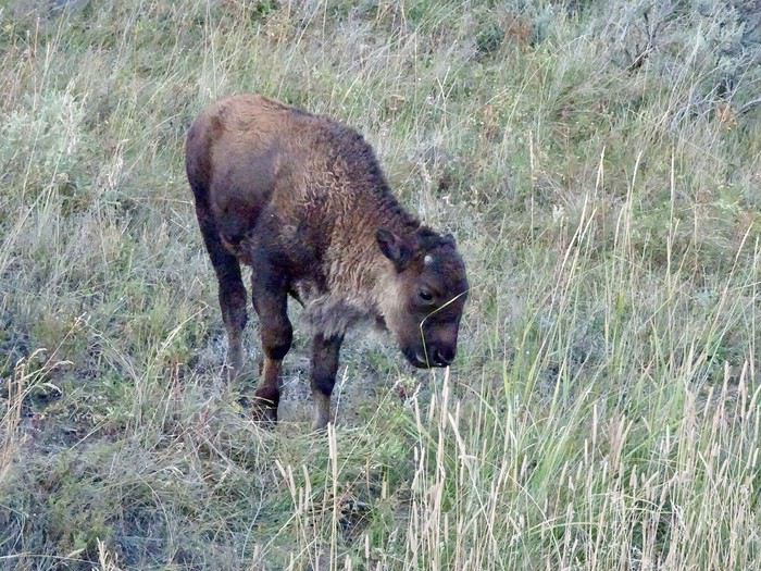
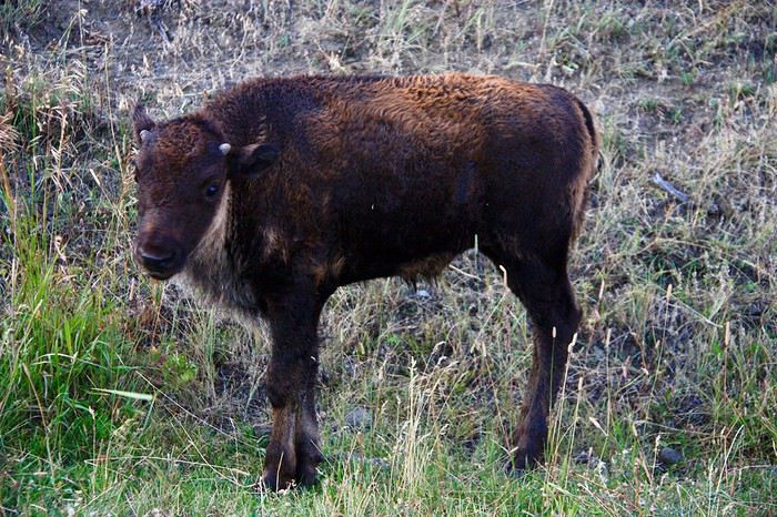
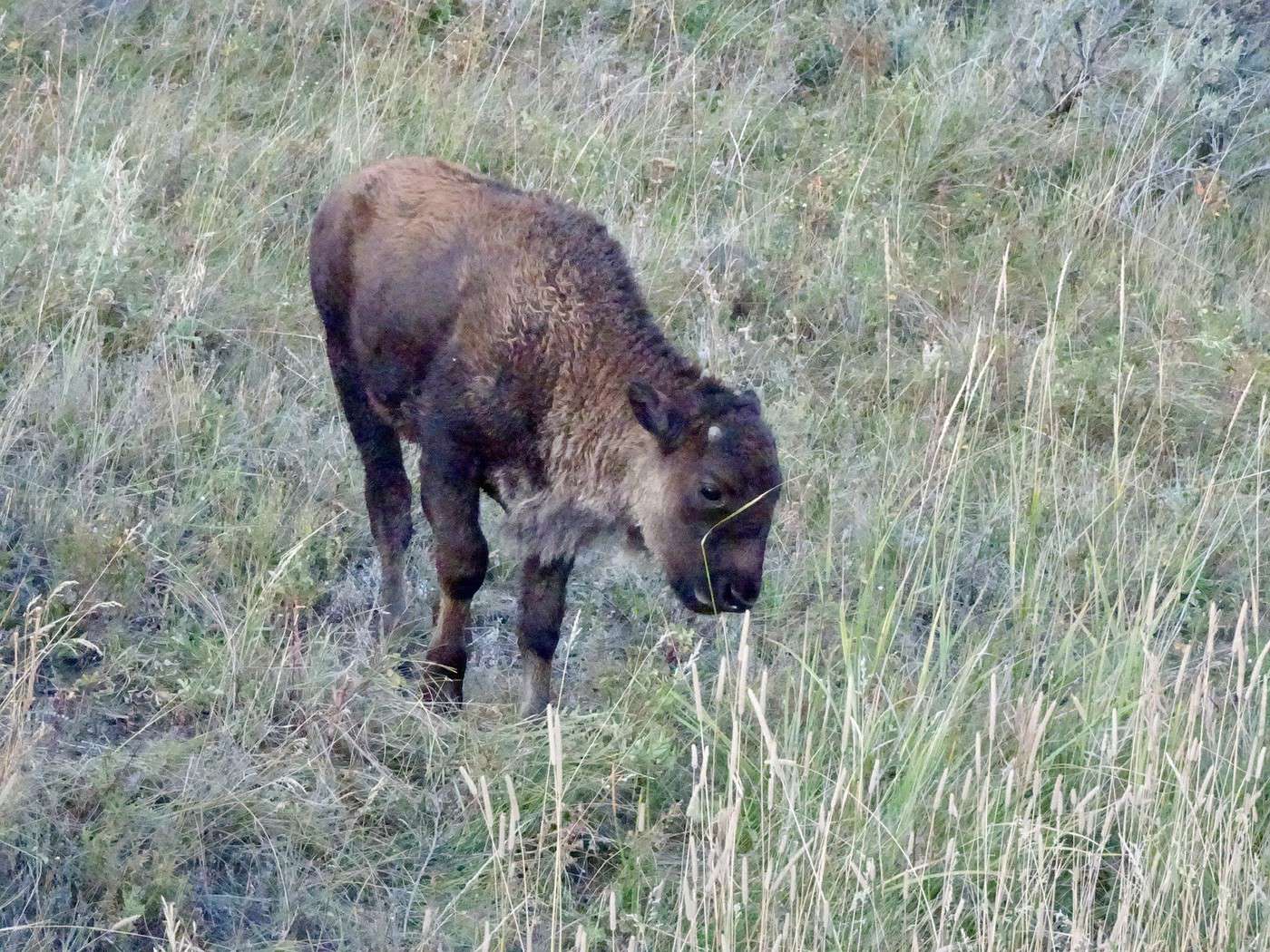
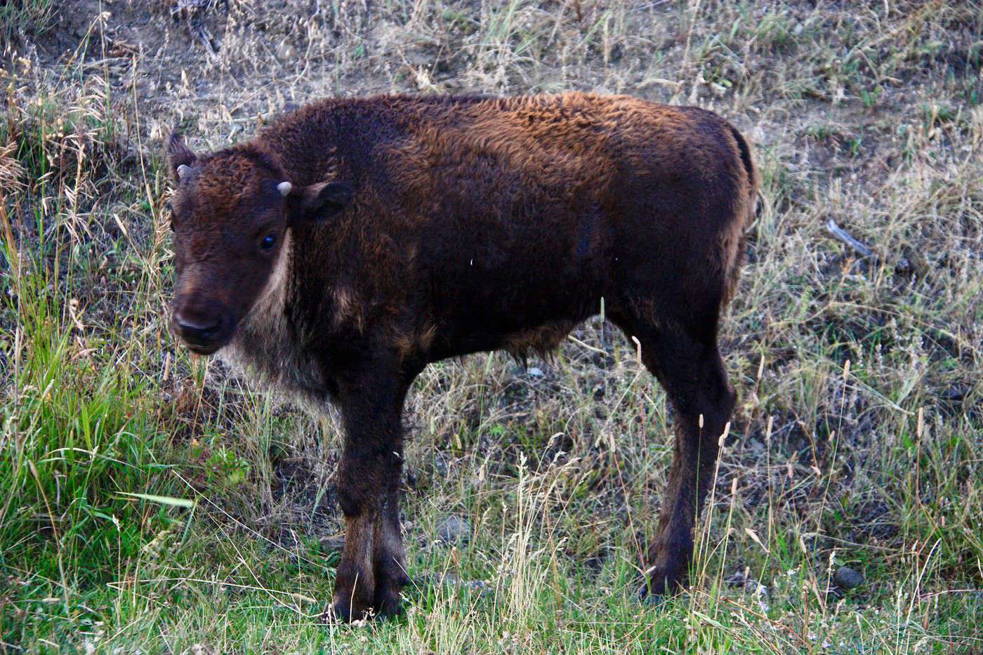
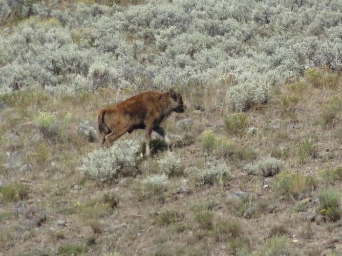
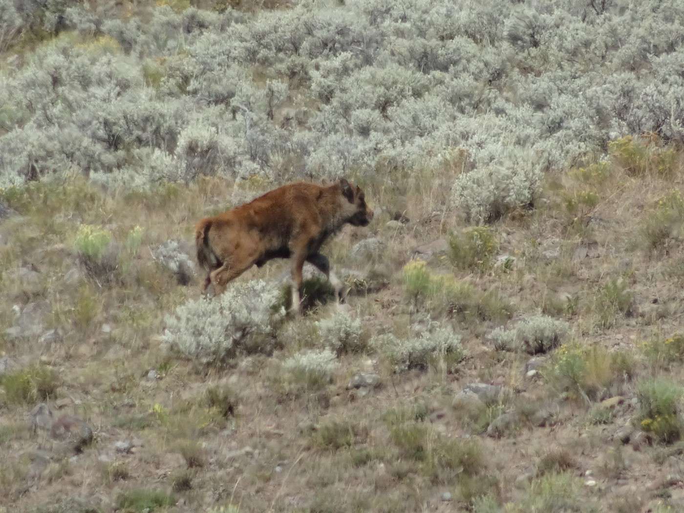
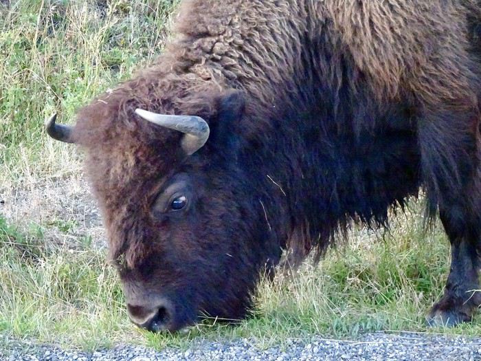 some babies