Back to the discussion

in Entre deux voyages โ€บ Carnets de voyage

In Search of Warmth in California, Utah, and Arizona in February (page 9 of 13)

Discussion started by Marati on 2019-03-14

245 replies

This thread has been translated into English.


Seeking serenity in California, Utah, and Arizona in February

Marati · 2019-03-27 · Message 161 of 246

Following Caribou44’s advice, we started by visiting the old copper mine and its small museum. The main attraction? The extreme kindness of the two retired gentlemen who welcome visitors.
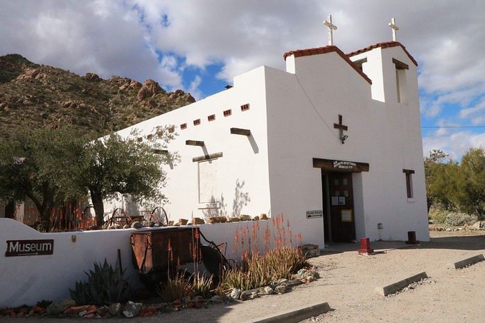
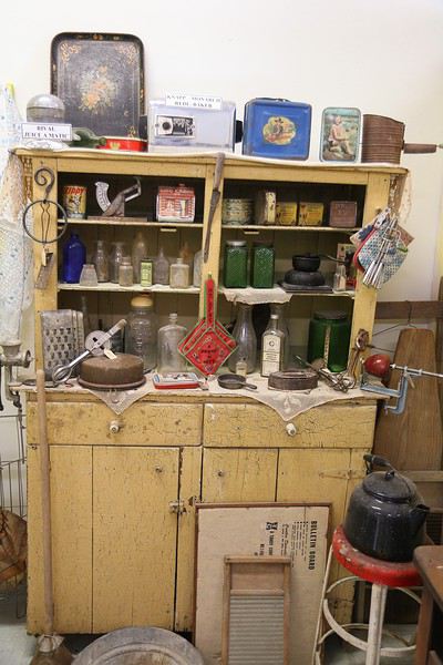
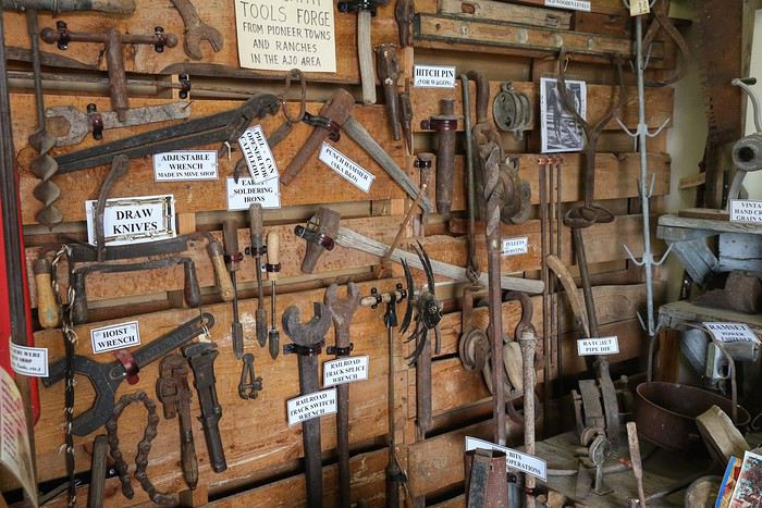


We ended up chatting for a while, and the kids left with some homemade treats and postcards from our charming hosts. It was really touching ๐Ÿ™‚...

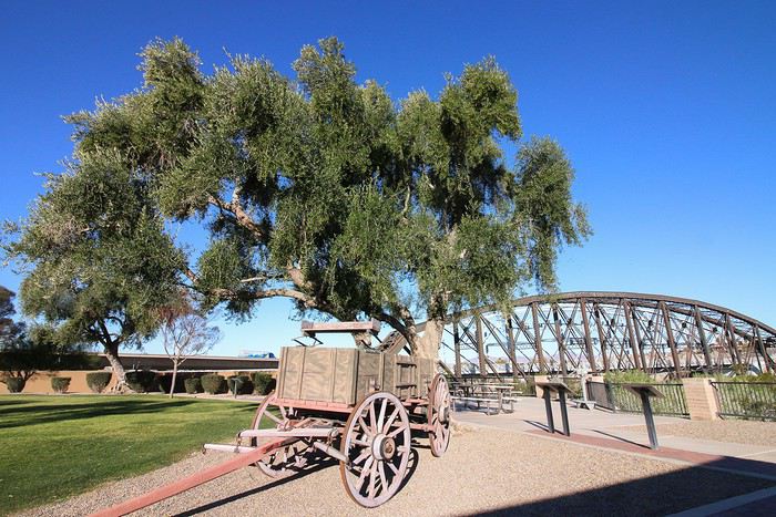
Outside, there’s an old mining wagon on display.
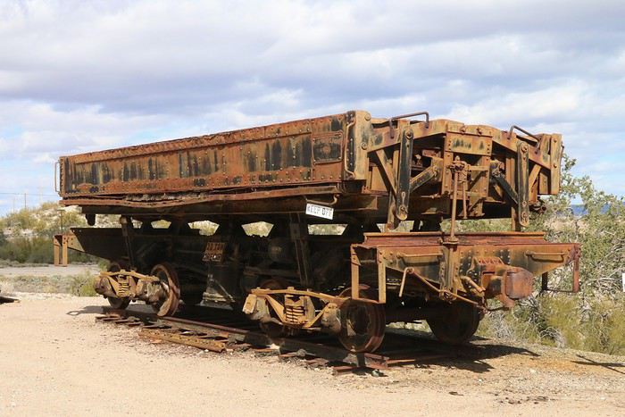


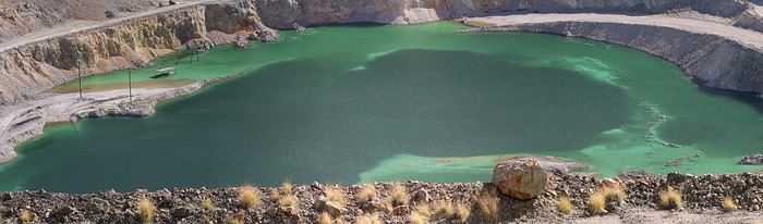
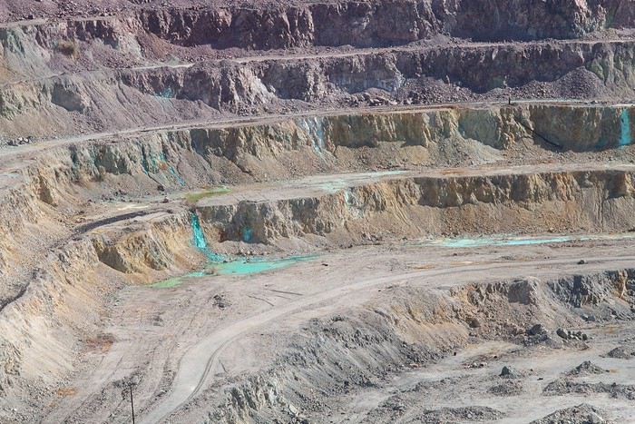
Next, we approached the crater created by the extraction of materials, enclosed by a fenced perimeter. Mining operations stopped in 1984, and the smelter closed the following year due to the drop in copper prices that year. The mine could reopen since there’s still a large quantity of lower-grade ore left.
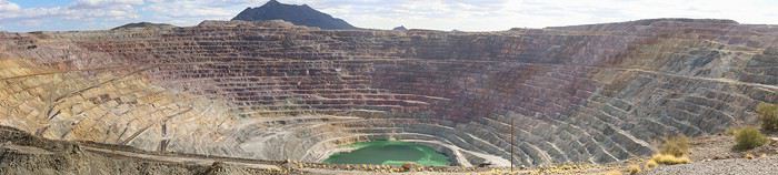


The lake is about 30 meters deep and is fed by spring rainwater. Its color comes from copper sulfite.


Since it was already 3 PM, we continued toward Organ Pipe NM. We passed a Border Control checkpoint (heading south) without stopping. Across from it, at least thirty cars were patiently waiting their turn to enter the U.S.

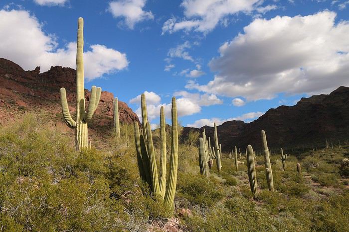
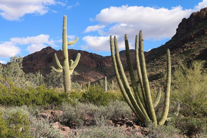
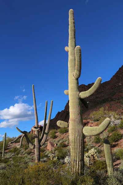
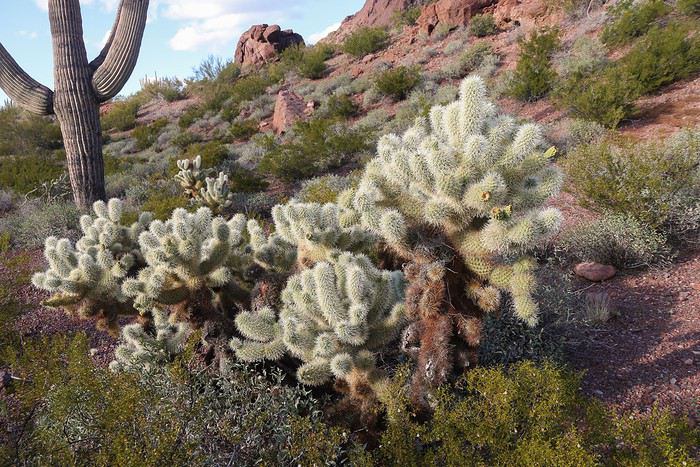
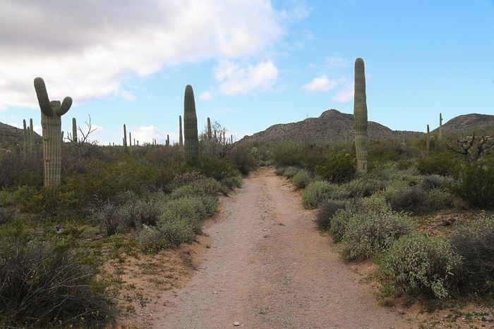
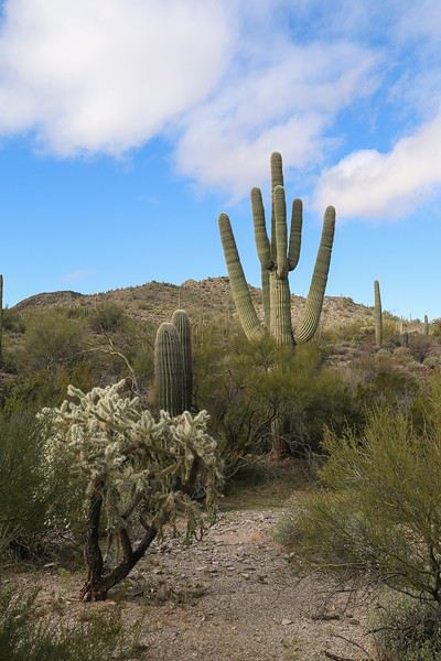
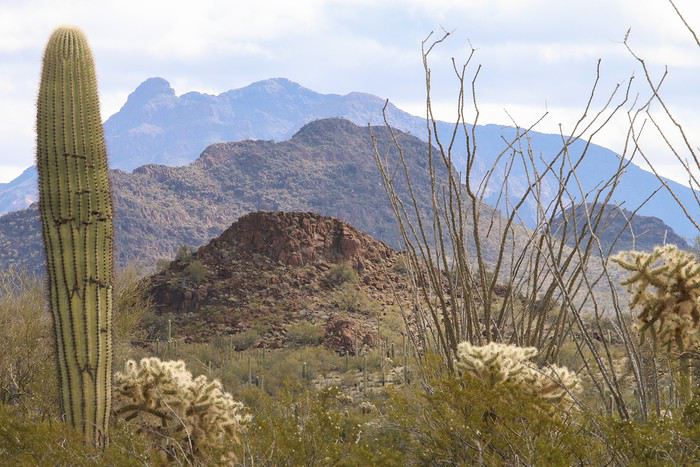
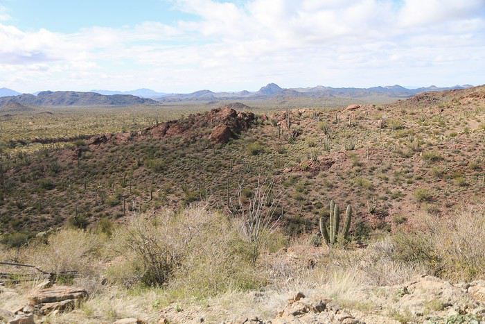
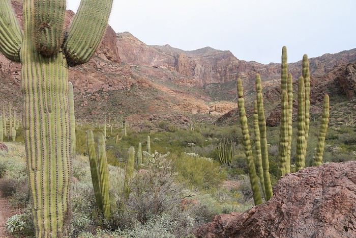
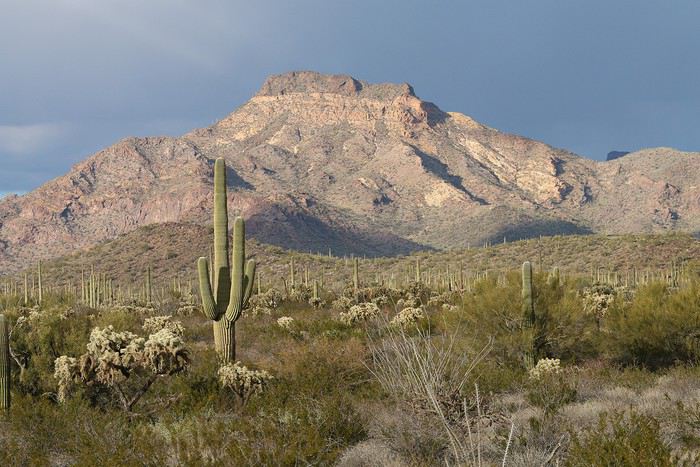
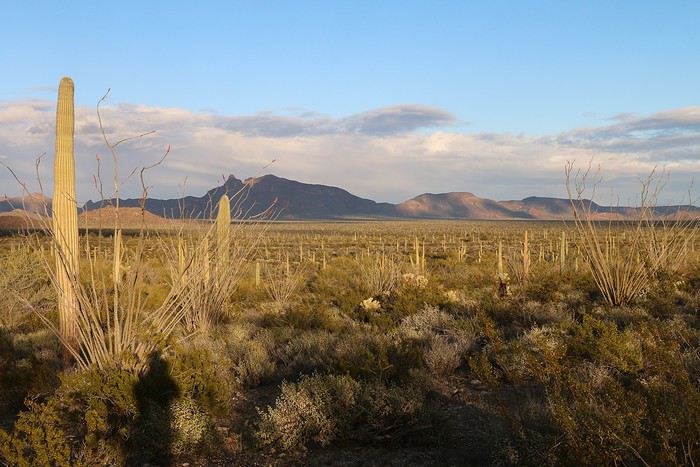
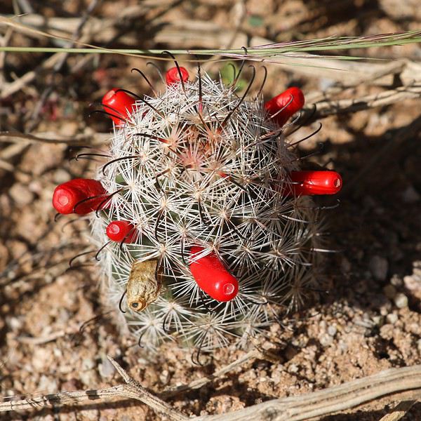
The desert landscapes were stunning, and we made several stops to admire the perfectly shaped saguaros and blooming cacti.
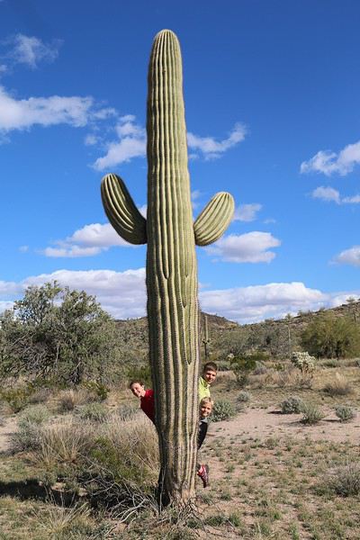
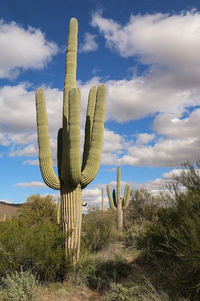


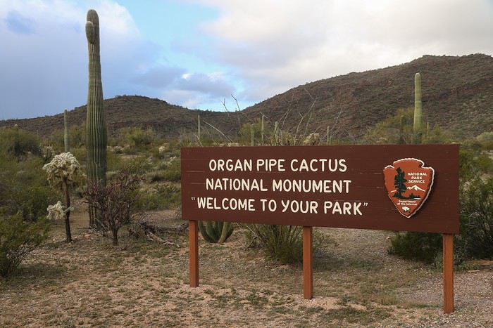
We finally arrived at Organ Pipe Cactus NM, named after the eponymous cactus species, which is endemic to this area. It’s the only place in the U.S. where it grows wild!

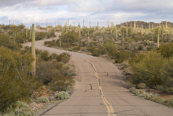
Instead of heading to the Visitor Center, we turned left a few miles later and took the road leading to Alamo Canyon Trail.

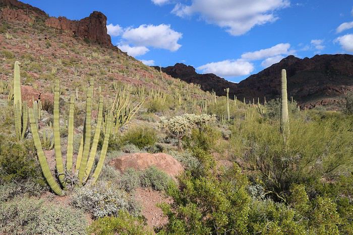
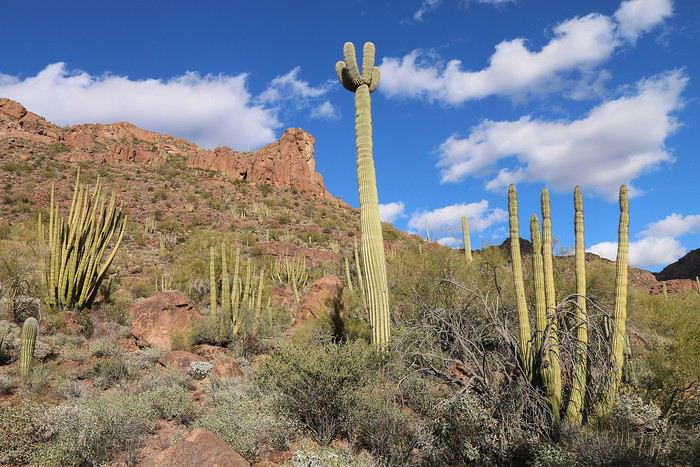
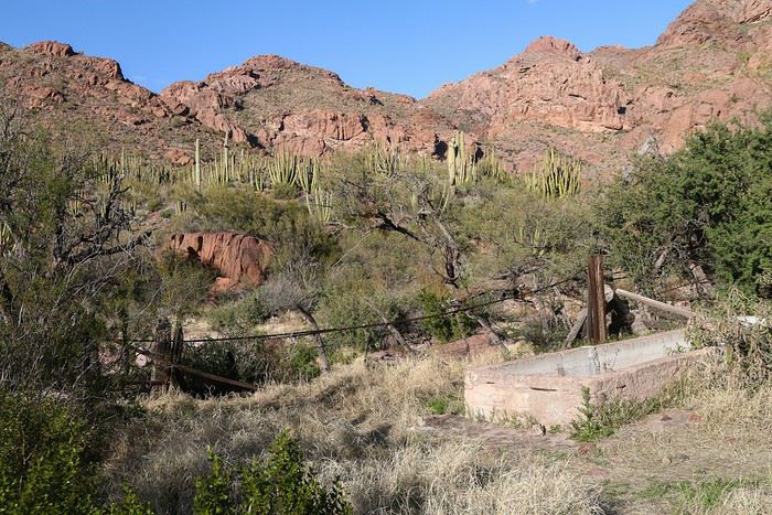
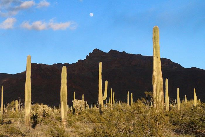
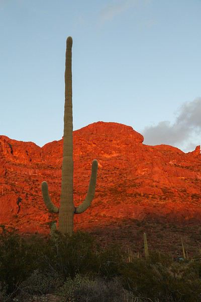
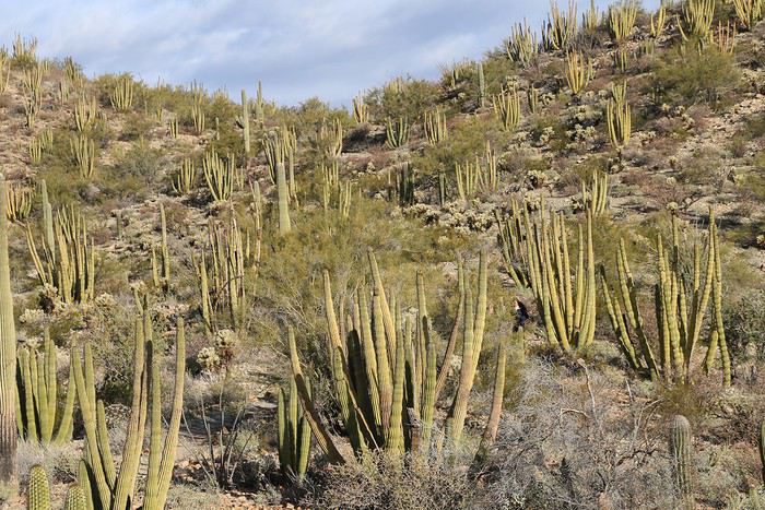
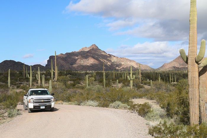
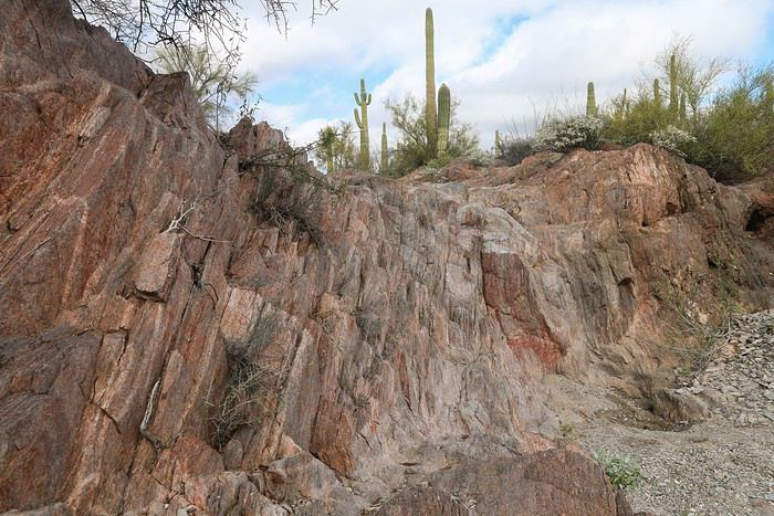
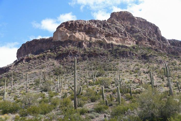
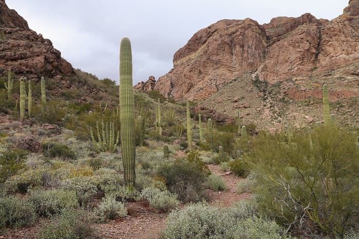
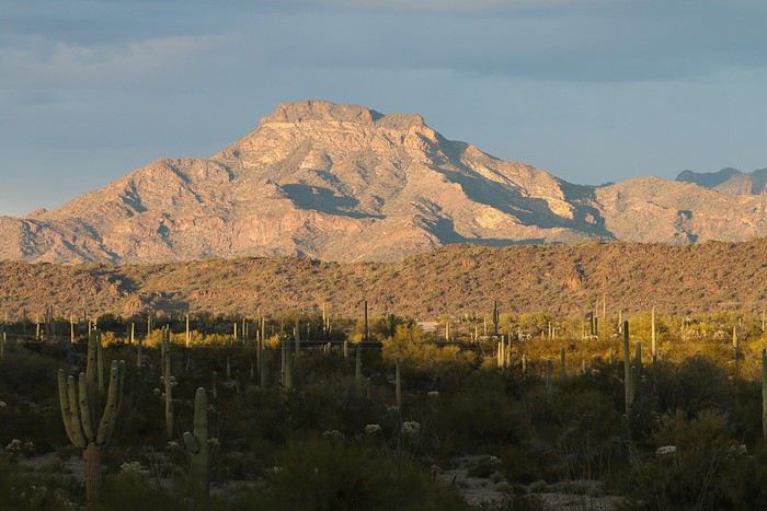
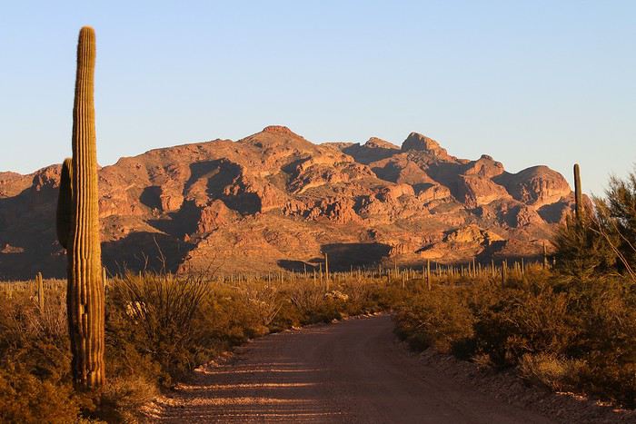
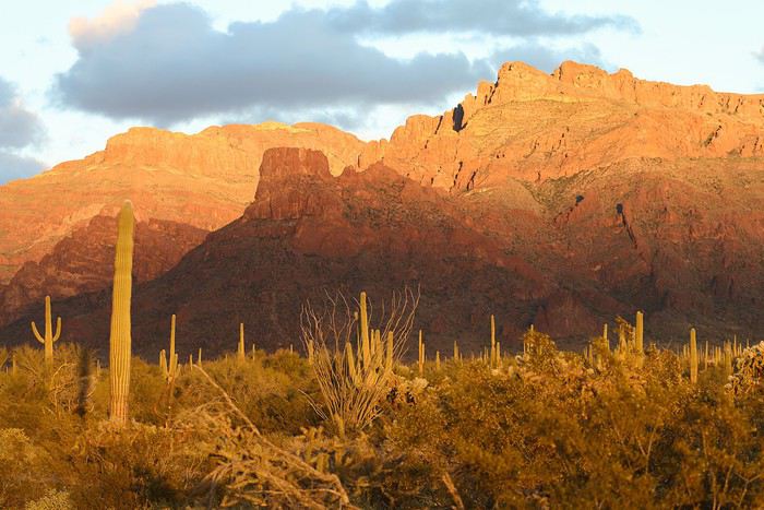
In the background, a mountain made of red rocks added a beautiful contrast to the surrounding green. The density of saguaros here is incredible!
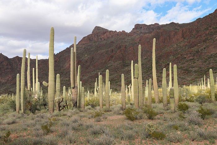


At the end of the road, we came across a small primitive campground nestled in the mountain. The spot was gorgeous. There are only five sites, and several were already taken. We could definitely see ourselves spending the night here ๐Ÿ˜‰!

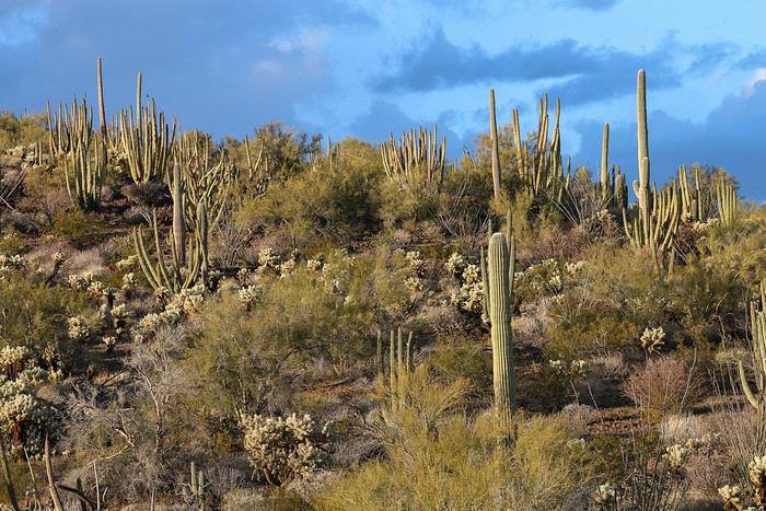
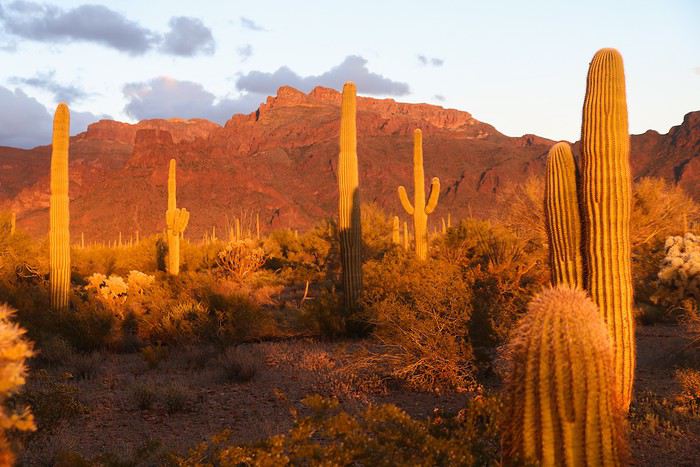
First, we took a leisurely walk along Alamo Wash. It was love at first sight, especially with the soft light illuminating all the cacti and other desert plants.

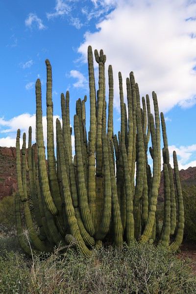
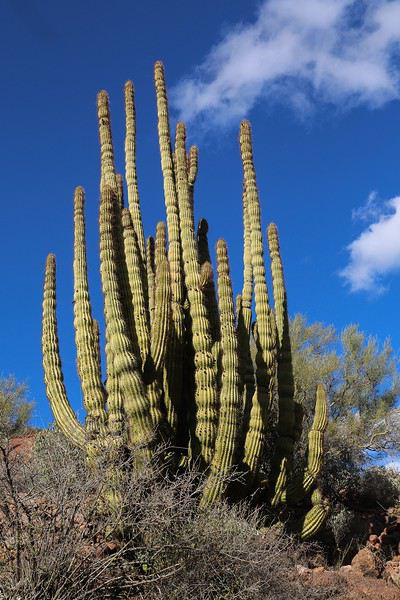
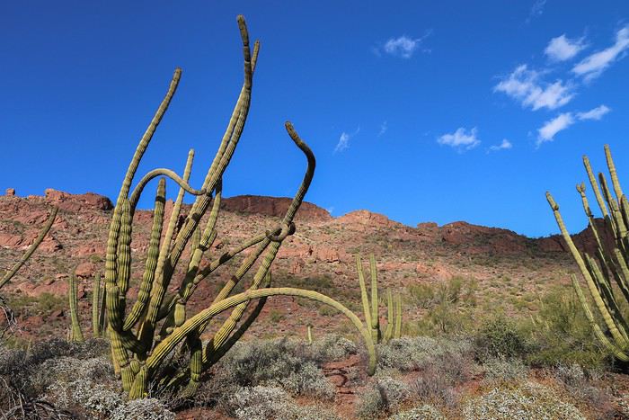
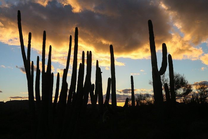
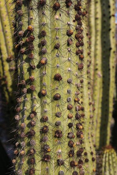
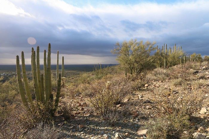
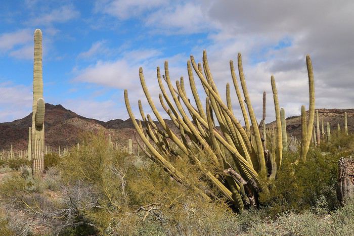
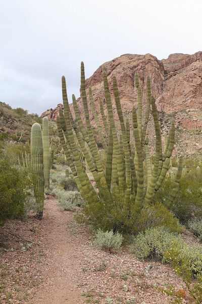
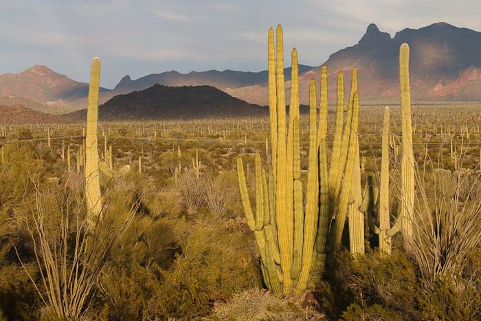
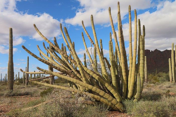
Here’s our first organ pipe cactus!


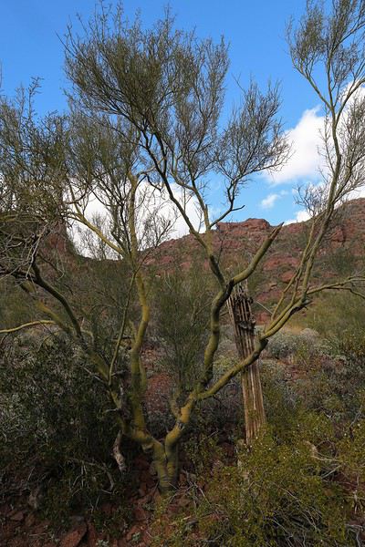
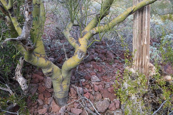
We also noticed a significant presence of a tree with a distinctive all-green trunk, the Palo Verde tree.


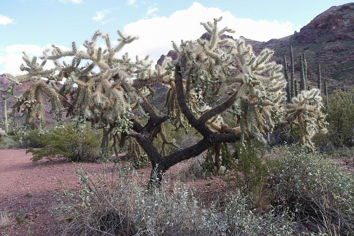
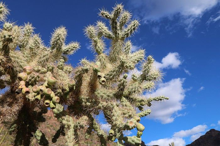
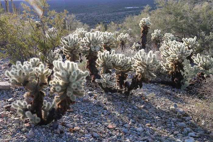
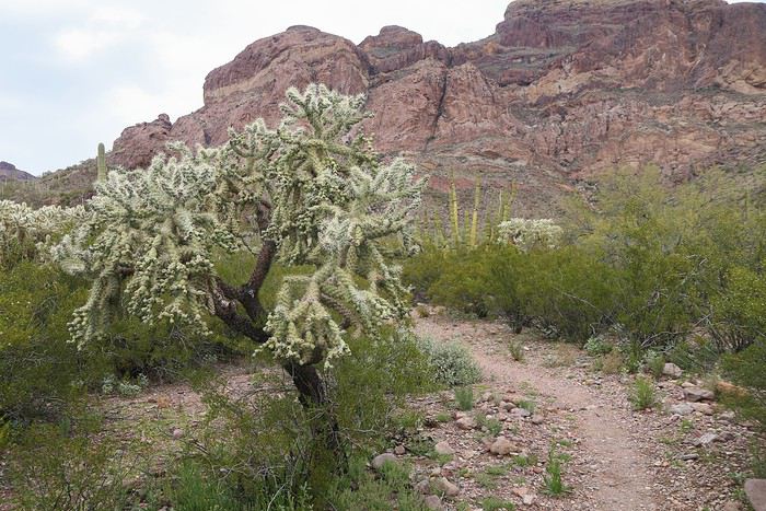
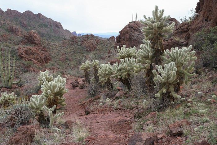
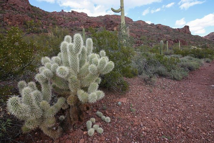
Cholla Cactus


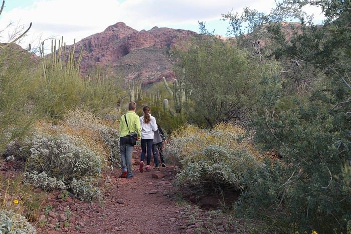
We walked slowly, making sure to watch our step whenever we left the trail. After all, we were in a desert!


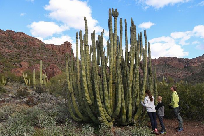
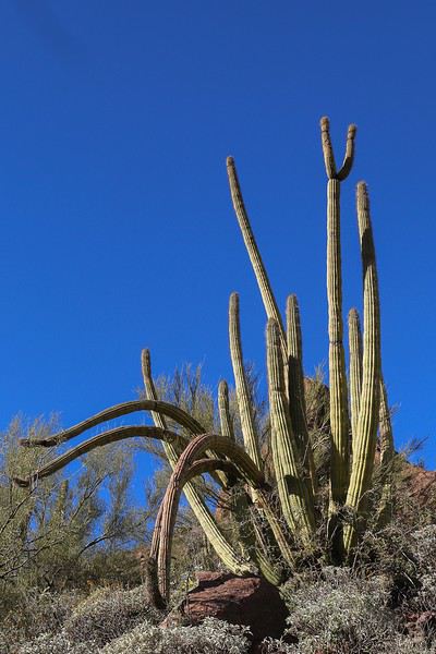
A little further on, we saw the largest Organ Pipe cactus in the entire park. Impressive!! ๐Ÿ˜ฎ


Seeking serenity in California, Utah, and Arizona in February

Marati · 2019-03-27 · Message 162 of 246

The atmosphere this late afternoon is bucolic, and we have the place all to ourselves to enjoy the desert plants and flora! It’s magical... 😇😇


Some cacti are really unique!


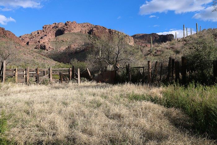
After about a 1-mile walk, we reach an old abandoned farm. It’s hard to imagine living here in the scorching summer heat.


Then, we calmly retrace our steps.


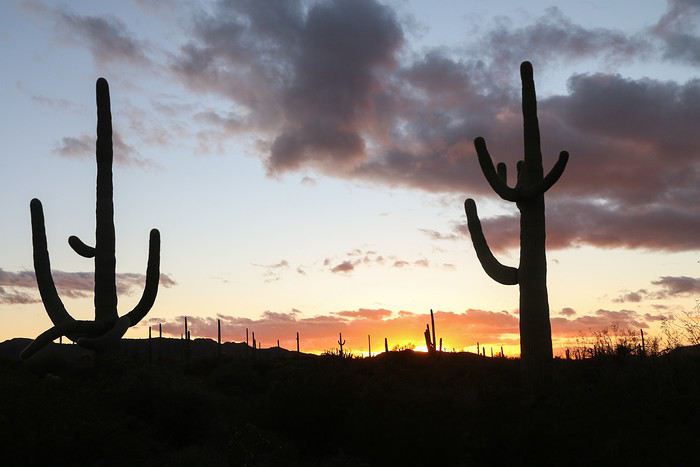
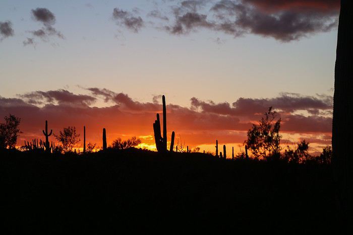
We get back in the car to head to the Visitor Center, but it’s already closed at 5:20 PM (it closes at 5 PM in winter). So, we return to Alamo Canyon Road, stopping to enjoy our first desert sunset. 😇


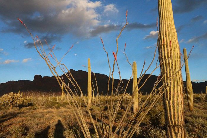
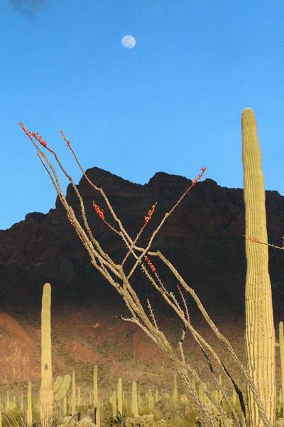
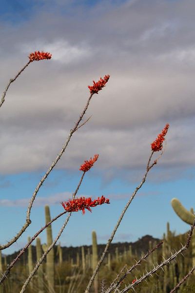
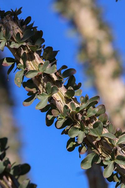
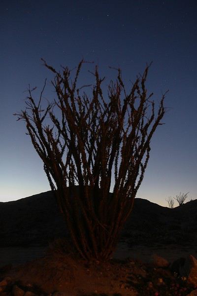
The kids spot our first blooming ocotillo. The ocotillo, also called "climbing cactus," grows in the deserts of the southwestern U.S. and northern Mexico. The plant becomes lush after rains, and the stems fill with small leaves. This is the first upside to last Thursday’s rain! As Caribou44 mentioned, the red flower appeared before the leaves on the stems.


We soak up the last moments of sunlight,


Then we return to the primitive campsite (with dry toilets, at least). The kids set up the tent by themselves and start heating water for dinner while I enjoy photographing the cacti.


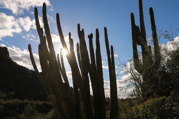
You’ve got to admit, the shade of an organ pipe cactus isn’t as nice as that of a saguaro! But you don’t see them every day...

For a few moments, the mountain behind us turns red,


then the darkness gradually takes over.


When I get back to the car, everything’s ready!! They manage better out here than at home—no need to repeat myself three times! ;)

While we heat up the pasta by headlamp light, we spot two mice a few minutes apart. And where there are mice, there are... mice. Whew, no snakes chasing them!

By 8 PM, we’re already in bed! The sun sets early in winter...

Summary: It’s simple—we’re loving this cold snap that forced us to change our plans! 😏 We adored our little stop in Ajo. Our first impression of Organ Pipe NM was pure love at first sight! 😇 All the ingredients are here to win us over: a stunning setting, the desert with its diverse plants, countless saguaros and organ pipes (as long as you wander a few hundred meters from the trails), some Red Rocks imported from Utah, and the thrill of maybe crossing paths with a rattlesnake—though we’d happily settle for the mice!! And of course, thanks again, Alain! ;)

Searching for warmth in California, Utah, and Arizona in February

Marati · 2019-03-27 · Message 163 of 246

Hey Julien,

This winter, the weather was really rough in the Southwest (temperatures 15 to 20ยฐF colder than usual, significant snowfall... ) and last-minute changes became imperative.... We got hit with it too, 15 days after you.

Ah, so it wasn’t just Laetitia’s voodoo doll to blame ๐Ÿ˜›!

Organ Pipe NM was one of the backup plans (like plan E or F ๐Ÿ˜‰) but we never made it that far!

Hope the travel journal makes you want to go! And there’s plenty to do for hiking ๐Ÿ˜‰! See you,

Seeking Mild Weather in California, Utah, and Arizona in February

Marati · 2019-04-01 · Message 164 of 246

Monday 02/18: Day at Organ Pipe Cactus NM

When we wake up, we notice the mattress has a slight leak. Not huge, but enough to nearly have our butts on the ground. Yet, we checked for sharp rocks or thorny bushes. For its second use, this D4 mattress is really showing off… And there’s no way we’ll find a store around here to help us out. ๐Ÿคช

Let’s move on to the important part: a full day at Organ Pipe NM. The sky is fairly overcast, but we’ll still get our dose of essential sunshine for great photos.


We start at 8:30 AM with a walk right behind the visitor center and at the end of the campground: it’s the Desert View Trail, a small 2 km loop.

The trail winds between cacti, saguaros or organ pipes, bushes, and Palo Verde trees. Like last night at Alamo Canyon, we notice a high density of organ pipes.


At the high point, we have a nice panoramic view, backlit…


We take a peek at the sign-in register and realize we’re the only French people out of 140 entries. Clearly, we’re not in the West’s most popular spots!! ๐Ÿ˜

On the way to the restrooms, we spot a solar shower in a compartment next to the toilets. Knowing we’re really off the beaten path and no camper has set up a tent or RV within 100 meters, it gives us ideas for tonight…

Meanwhile, we continue with the Puerto Blanco Drive, a scenic route that gets as close as possible to the Mexican border.


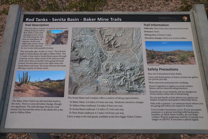
At the end of the road, we come across this explanatory sign for a few walks or even day hikes.


Since I’ve planned other things for the day—and even though visiting old mines would’ve been tempting—we settle for the shortest hike, which is just 3 km round trip: Red Tanks Trail.

For those interested, there’s a chance to visit Baker Mine (2.6 miles east) and then Milton Mine (4 miles round trip). To get to Victoria Mine, it’s best to start from the campground and walk the 2.2 miles (one way).

Along the way:


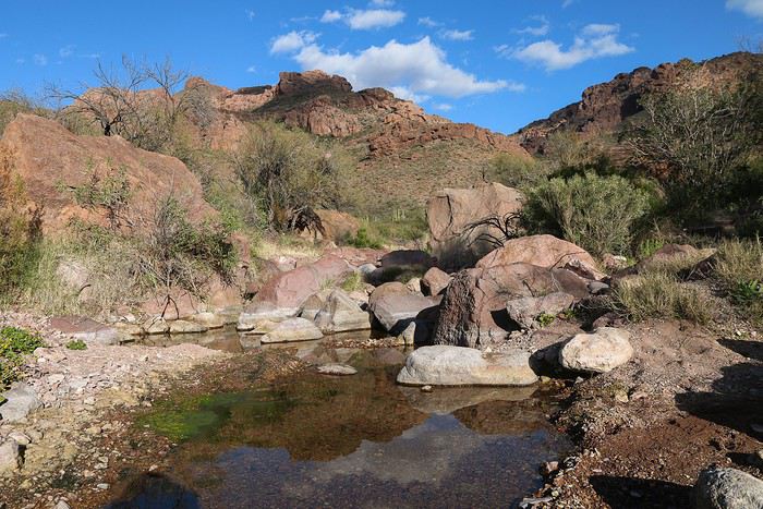
And here’s the highlight of the hike… Red Tanks:


Okay, it’s true, there are better sights. Plus, the vegetation here is sparser than on our first two walks, so we’re left a bit unsatisfied.

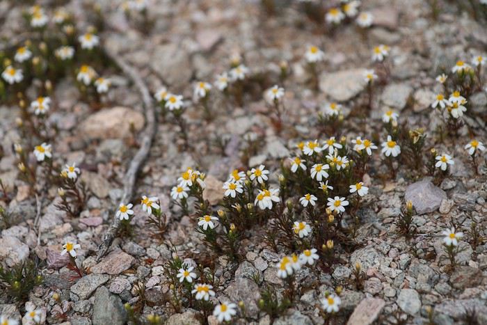
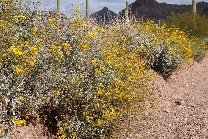
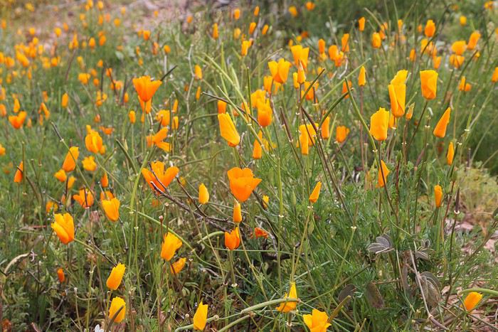
Variety of daisies:


We then hit the road again, heading toward Ajo Mountain Drive. Along the way…


Ajo Mountain Drive is a 30 km one-way scenic road that winds through the surrounding mountains and circles Diablo Mountain.

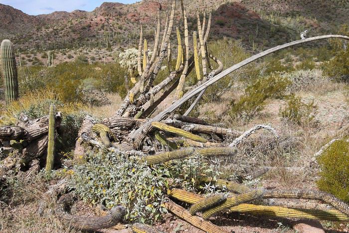
There are regular small parking areas where you can safely pull over. This scenic route is definitely worth the detour for its organ pipes—alive or dead—but not just for those…


Panoramic view at stop 6 or 7:


View of Diablo Mountains:


Blooming marigolds:


Seeking mild weather in California, Utah, and Arizona in February

Marati · 2019-04-01 · Message 165 of 246

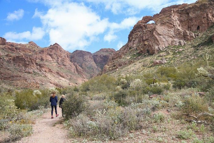
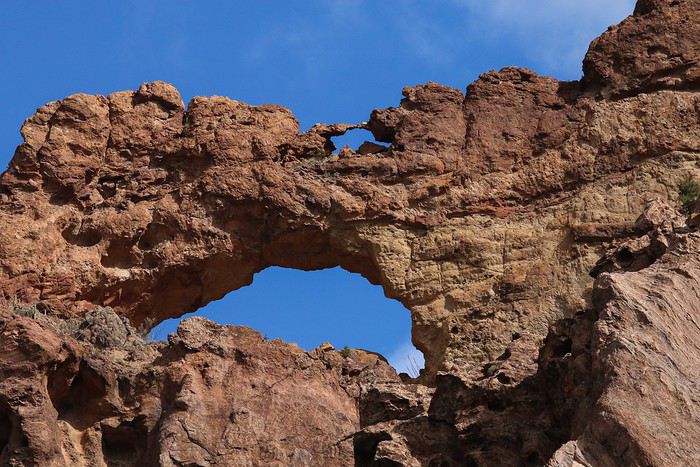
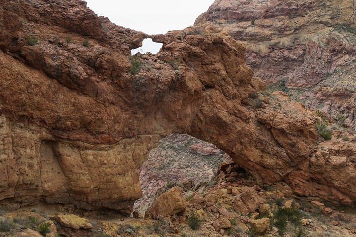
Then we stop at the trailhead that allows us to climb up to an arch, or more precisely, a double arch: Arch Canyon


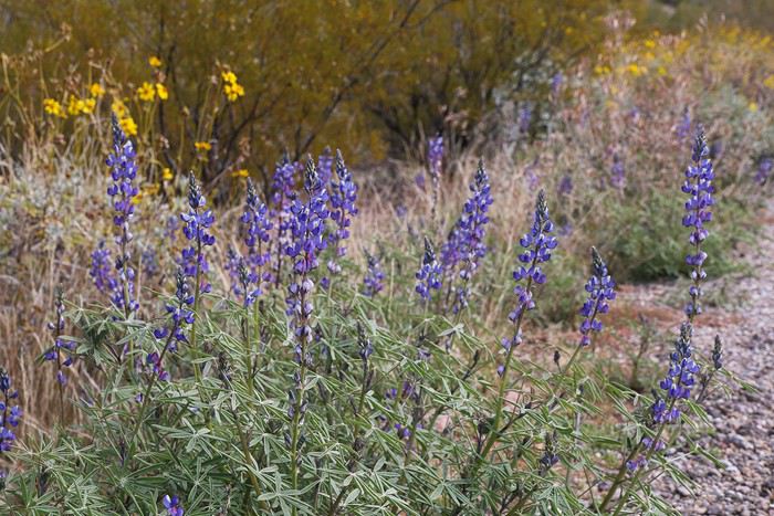
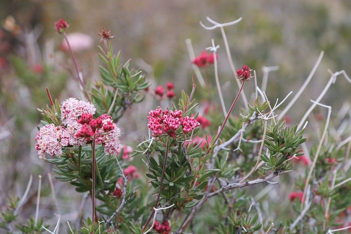
During the first kilometer, we enjoy all the flowering plants.


We get the best view of the arch from this spot,


but we’re determined to get as close as possible.

The real challenge begins: over 300 m of elevation gain in 1.5 km... Our calves are burning. Impossible to do in spring or summer...


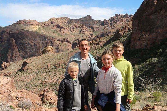
We finally reach the top, in the arch area, but unfortunately, we can’t see them ๐Ÿ˜•. We take advantage of a couple of Americans being there to have them take a portrait for one of our rare family photos.


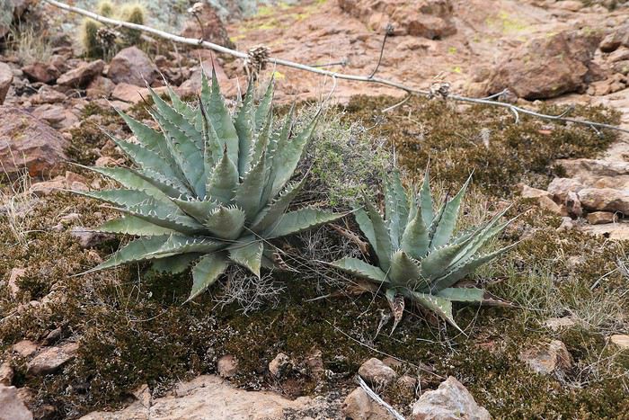
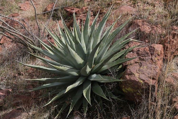
Being at a slightly higher altitude lets us discover some agaves.


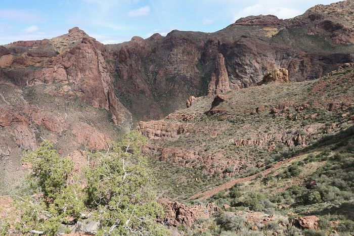
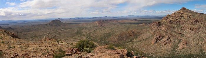
Then, we have a picnic while enjoying the 4-star view.


On the way down, we lose the trail and take the opportunity to jump from rock to rock, trying to get as close as possible to where the arches are supposed to be. Tim is the one who spots them first.


As soon as we pick up the trail again, we speed down the rest of the way.

Our last stop on Ajo Mountain Drive will be for the Estes Canyon – Bull Pasture Trail hike. We start the Estes Canyon loop on the left since the slope is gentler. Good call—this area is by far the nicest, with the richest vegetation.


We make our way along the trail, weaving between saguaros and organ pipes, with a great view of the Ajo Mountains.


When we reach the junction leading to Bull Pasture and a panoramic view, the sky is overcast. We decide not to add extra elevation for a view similar to the one we enjoyed two hours earlier.


The end of the hike is a bit gloomy: sparse vegetation, gray skies... The kids have fun running through the curves on the way down to add a little excitement.

Seeking warmth in California, Utah, and Arizona in February

Marati · 2019-04-01 · Message 166 of 246

After completing the loop, we head to the Visitor Center. Along the way, the sun reappears, letting us enjoy both the vegetation around the VC and the vast plain where all the cars coming up from Mexico pass by.


We then head to the restrooms to enjoy a nice hot shower. By 5:30 PM, the sun is already behind the hill of the Desert View Trail, so there’s really no reason to stay in the area.

We hit the road north toward Alamo Canyon, hoping to be luckier there.


Just after the turn onto the track, the scenery changes...


Like last night, we’re really spoiled and get a beautiful sunset for our last minutes of sunshine in this stunning National Monument! ๐Ÿ˜‡


Night falls quickly, so we rush to the same campsite as the night before, but unfortunately, all five spots are taken, and there’s no way to squat elsewhere.

We head back to the main road and decide to go to our Plan B campsite, spotted on freecampsites: Wild Woman (32.241257, -112.765267), located a few miles before Ajo.

Before arriving, we’re stopped for an ID check. Given the late hour, we only lose a few minutes since there are very few cars.

This free and legal campsite is well-frequented, with about twenty RVs or caravans. After setting up the tent in record time (we’re well-practiced...) and having a dinner of vegetable salad, we fall asleep under a sky full of stars.

Summary: Organ Pipe Cactus NM: 18/20 is one of our favorite stops on the trip, right up there with Death Valley and Valley of Fire. The change of scenery is guaranteed!! The most beautiful hikes are: Alamo Canyon Trail (3 km), Desert View Trail (2 km), and the start of the Estes Canyon loop (clockwise). These 6 short kilometers let you enjoy the park’s most stunning landscapes and see a ton of organ pipe cacti!

The two scenic drives, Puerto Blanco Drive and Ajo Mountain Drive, are obviously best in summer when the extreme heat makes hiking more challenging.

Searching for warmth in California, Utah, and Arizona in February

Swimmer · 2019-04-02 · Message 167 of 246

Hey Guillaume,

No way—you didn’t fly 12 hours, put your relationship at risk, and commit to a month-long project in your bathroom just to see some cacti and photograph three daisies, did you?

You’re kidding, right? This has to be a joke.

April Fools’, of course! I’m such an idiot—I almost fell for it! The veggie dinner should’ve tipped me off.

Nice work on all your photo edits, though—it almost feels real. The landscapes and insane vegetation make me want to wander around, not to mention those sunsets! ๐Ÿ˜ฎ I see you’re a Photoshop pro. Though the arches thing? Not exactly believable. You figured, the bigger the lie, the more it flies, huh?

Alright, now that you’re busted, show us the pics of your long belote games at the Page Starbucks while waiting out the cold snap. Unless it was poker… No? Don’t tell me… Oh, it *has* to be—your kids cleaned you out, and you were too embarrassed to admit it! ๐Ÿ˜

Looking for mild weather in California, Utah, and Arizona in February

Masterpo · 2019-04-02 · Message 168 of 246

That sounds good, what you're having... a mix of tequila and mezcal? Did you give up on shōchū?

Looking for mild weather in California, Utah, and Arizona in February

Swimmer · 2019-04-02 · Message 169 of 246

Alcohol? You can’t be serious, I hope? If I want to keep a clear head and stay sharp to spot inconsistencies in travel journals, I’ve got to steer clear of all those sketchy substances. The only stimulants I allow myself are the chlorine fumes from the pool and, on special occasions, a matcha tea. ๐Ÿ˜

Searching for warmth in California, Utah, and Arizona in February

Marati · 2019-04-02 · Message 170 of 246

Hey Pascal, Wow, you’re on fire! 😏😏

Seriously though, you didn’t fly 12 hours, put your relationship at risk, and commit to a month-long project in your bathroom just to see some cacti and photograph three daisies?

😏 I didn’t want to name them at first—those blooming daisies—because it’s kind of a fail! But these are special daisies, not like the ones in our gardens: desert daisies 😜!!

Alright, now that you’ve been busted, show us the photos of your long belote games at the Starbucks in Page while waiting for the cold snap to pass. Unless it was poker…

Poker? Belote?? That’s more our generation’s thing, not theirs ;)... which is a shame, really...

In search of warmth in California, Utah, and Arizona in February

Swimmer · 2019-04-03 · Message 171 of 246

Wow, Ben, you're on fire! 😄😄

Spring can have some unexpected effects. ;)

😄 I didn’t want to name them at first—those blooming daisies—because it sounded a bit lame! But these are special daisies, not like the ones in our gardens: desert daisies! 😜!!

There you go, just needed an explanation! "Desert daisies"—now that’s got some style!

Poker? Belote?? That’s more our generation, not really theirs… which is a shame, actually…

I wouldn’t be so quick to generalize. My kids, especially my youngest, love playing belote. As for poker, let’s just say I’d rather not discuss it here to avoid any trouble with social services. 😄

Searching for warmth in California, Utah, and Arizona in February

Diamina · 2019-04-03 · Message 172 of 246

Hey everyone,

This is a major one, right??

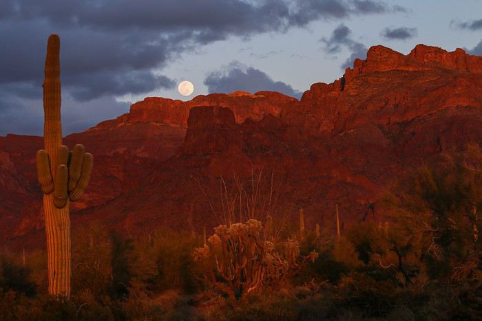
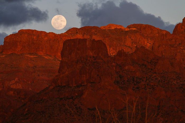
And here’s another one raised at moonrise!!!

Is this to ward off bad luck?๐Ÿ˜›

I think, in the end, these cacti are still pretty inappropriate......๐Ÿ˜‰๐Ÿคช


You all look a little tired in this photo? Was this after the time you almost went missing, with the last one clinging to your back? By the way, your youngest son looks strangely like an actor from an old movie...Village of the Damned (1960 film). It’s the one about the alien children who survive because they don’t try to kill humans. He looks quite mischievous.

Looking for warmth in California, Utah, and Arizona in February

Diamina · 2019-04-03 · Message 173 of 246

Hi Pascal,

It’s always a real pleasure and a ray of sunshine to read your jokes. ๐Ÿ˜‰

Looking for gentler spots in California, Utah, and Arizona in February

Marati · 2019-04-03 · Message 174 of 246

Hey Diamina,

I’m starting to think these cacti are just plain inconvenient after all...๐Ÿ˜‰๐Ÿคช

Couldn’t agree more. We should check if they’re any more well-behaved around Quebrada de Humahuaca or the Calchaquรญ Valleys ๐Ÿ˜› (see, I’ve already done my homework ๐Ÿ˜)

You all look a little rough in this photo—was this after the time you nearly went missing, with the last one clinging to your back?

You’d have the same face after that climb ๐Ÿ˜ฎ! None of us were fresh by the end... I can’t imagine anyone making it to the summit from May onward.

By the way, your youngest looks oddly like an actor from that old movie...Village of the Damned (1960 film)

We just watched a clip on YouTube, and you’re totally right!!

Looking for mild weather in California, Utah, and Arizona in February

Diamina · 2019-04-03 · Message 175 of 246

I agree with you. We should check if things might be more conventional around the Quebrada de Humahuaca or the Calchaquรญ Valleys ๐Ÿ˜› (you see, I’ve already done my homework )

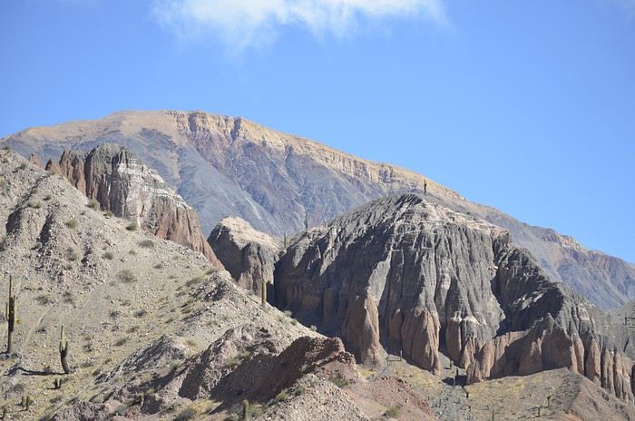
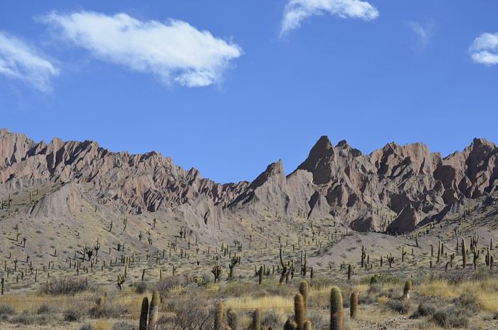
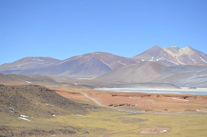
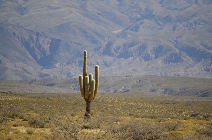
I almost posted a photo of just a cardon, but since you’ve already started researching, here’s the full scene: cardones with colorful rocks


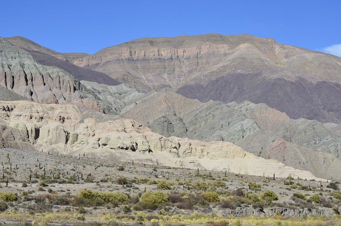
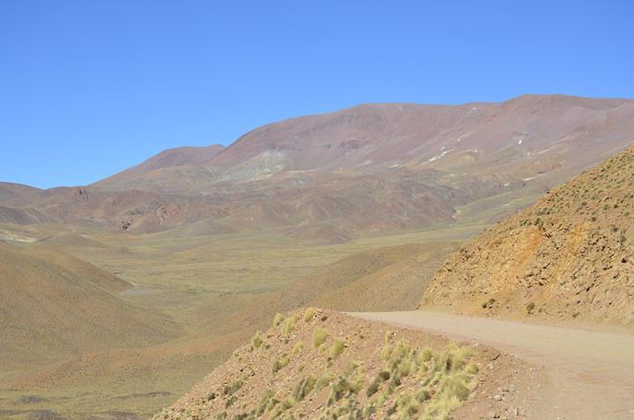
And colorful rocks without cardรณn on the Paso de Sico road


And all this was during winter... see the blue sky?


And a proper middle finger to get back to the main topic...

Seeking warmth in California, Utah, and Arizona in February

Marati · 2019-04-04 · Message 176 of 246

Your photos are absolutely gorgeous ๐Ÿ˜‡!!

Can’t believe I almost posted a photo of just cardoon,

You could’ve included that huge one you saw in town near the Chilean border before heading to Susques!

And a proper middle finger to get back to the main topic...

That one’s unbeatable ๐Ÿ˜!!

Seeking warmth in California, Utah, and Arizona in February

Marati · 2019-04-05 · Message 177 of 246

Feb 18: Yuma – Salvation Mountain – Salton City - Anza Borrego

The night was a bit wild—I was woken up twice by howling coyote packs. Pretty impressive! Once the coyotes settled down, my mattress deflating forced me to restart the pump to reinflate it around 2 AM... ๐Ÿ˜ 

And at 5 AM, the cold woke me up again while the kids slept peacefully! Have I become the weak link in the group ๐Ÿดโ€โ˜ ๏ธ ??

By 6 AM, it’s biting cold! Frost formed on the tent... Yet we’re only 50 km from the Mexican border, where we were supposed to be warm!! It barely takes us 5 minutes to pack up the tent, but that’s enough to leave our hands frozen and sore.

At 6:30 AM, we’re already hitting the road. The car’s thermometer reads -2ยฐC! The plan: 500 km and 5 hours of driving. But the upside of winter camping is you won’t start the day at 10 AM and get caught out by the shorter days.


Another ID check north of Ajo, no line of course, then we drive nonstop to Yuma and its famous prison.

At 8:58 AM, we park, and by 9 AM, the doors open. Perfect timing... ๐Ÿ˜Ž

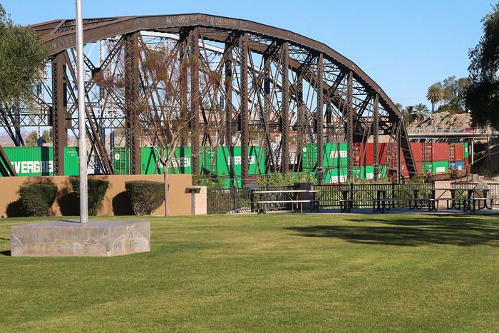
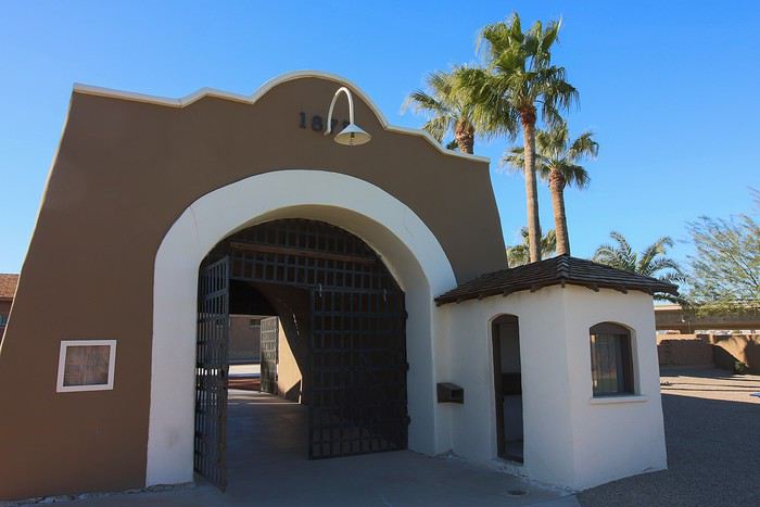
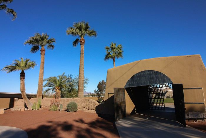
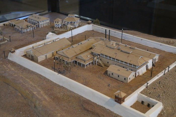
Yuma Territorial Prison is a prison that “opened its doors” in 1876 for about thirty years. It closed due to Colorado River floods that damaged the railroad track running alongside the prison, and rebuilding it required demolishing half the buildings.

Here’s a freight train passing by, by the way:


We start the visit in the central courtyard:


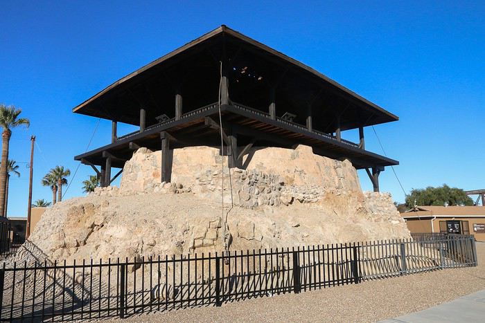
and the watchtower, where you get a panoramic view of the surrounding plains:


Then we head to Sally Port, one of the few original adobe structures. It was the only entry and exit point for prisoners.


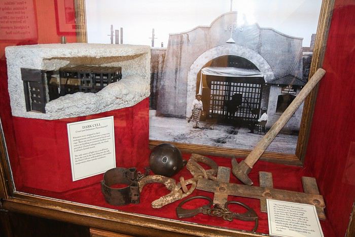
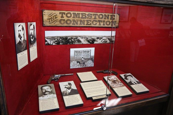
The small museum is fascinating. We learn a lot about the prisoners’ lives, details on all the outlaws from Tombstone, the female prisoners, and every imaginable statistic: age pyramids, ethnic origins, education levels, religion...


Since not much of the original buildings remain, a model helps visualize the rest.


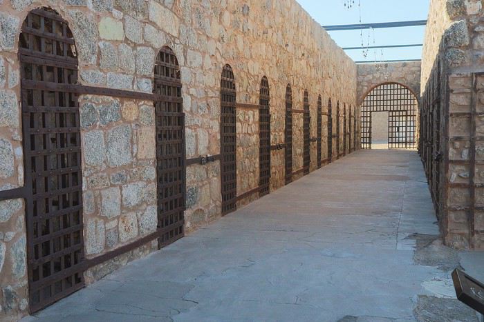
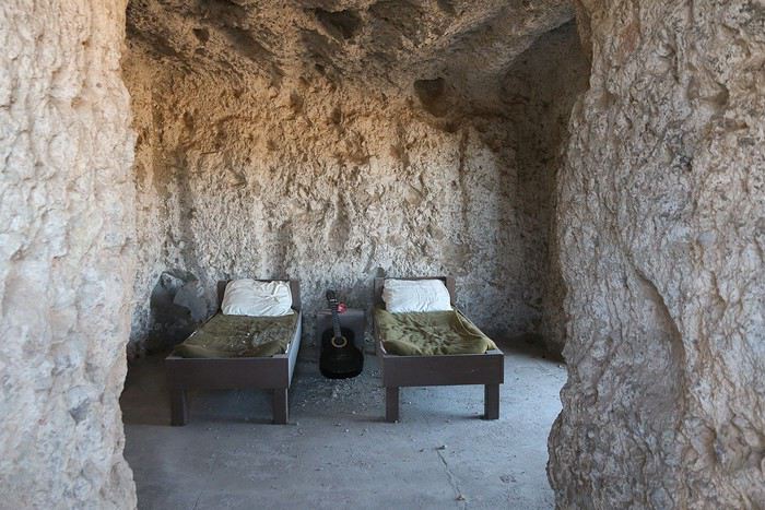
Next, we take a quick look at the cells,


and the area reserved for the few female prisoners.

The thickness of the walls is just mind-blowing.

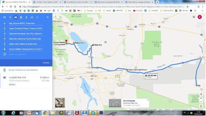
Then we calmly hit the road again, heading toward Salvation Mountain. To get there, we decide to take the same route Zitounet did in his latest travel journal. After Felicity, we leave Highway 8 to take Ogilby Road (S34), then a track heading northwest toward Salton Sea.

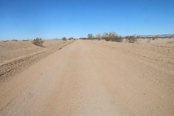
At first, we’re not worried—maps.me knows the route. But once we’re on it and after 20 minutes of not seeing a single soul, we start thinking it’d be best not to break down out here.


Plus, the scenery’s pretty bleak, though we can see dunes in the distance to the south. We clench our teeth, and 30 km later, we finally reach a paved road again, Highway 78. At that point, we decide there’s no way we’re doing another 40 km off-road, so we stick to the 78 heading west.

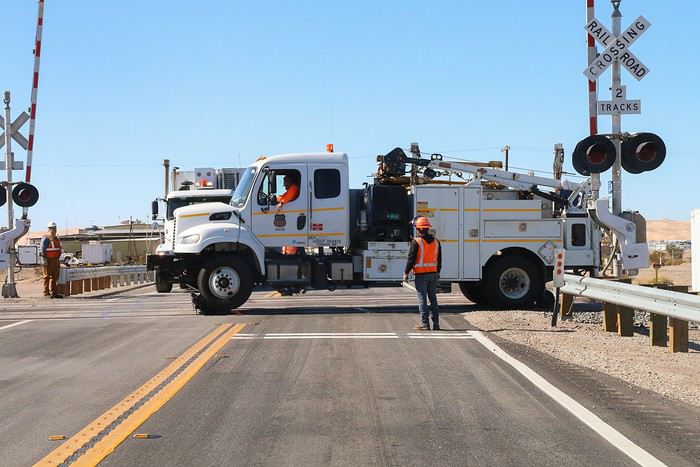
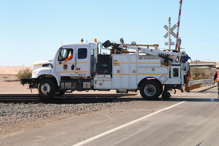
And we’re glad we did—at a railroad crossing, we get lucky and see three trucks switch to “rail mode” to work on the tracks ๐Ÿ˜Ž!


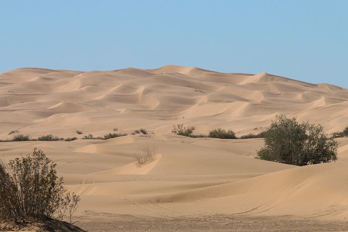
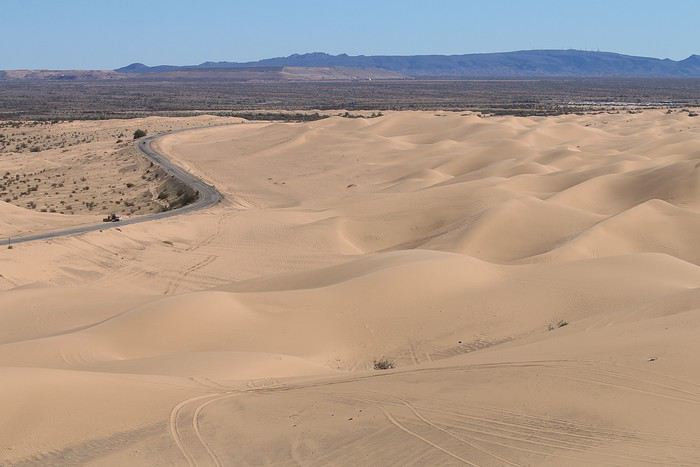
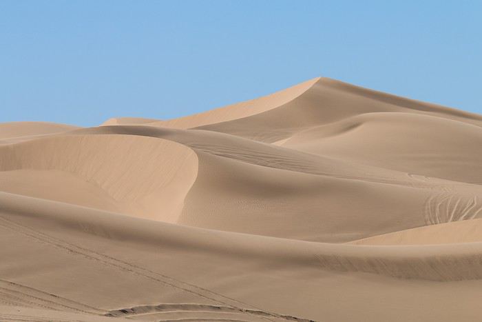
Then we cross the Algodones Dunes. The Mesquite Flat Sand Dunes look tiny in comparison!


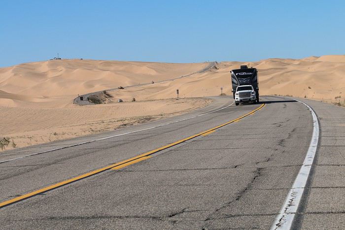
The road winds through the dunes,


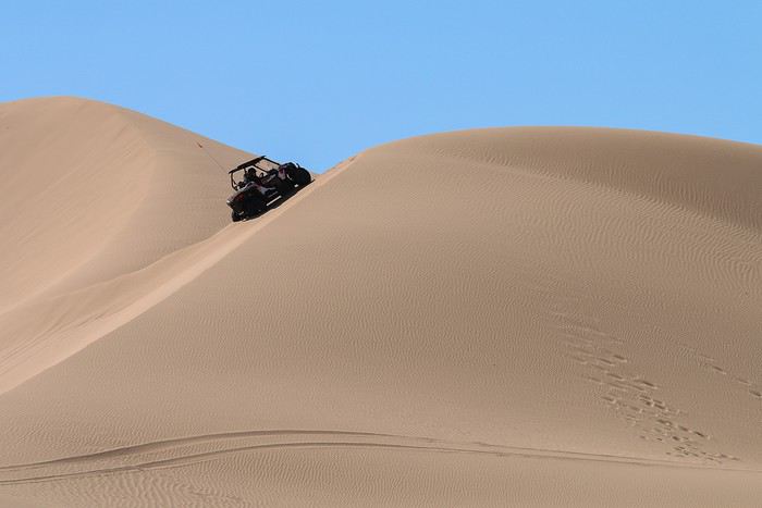
At the highest point, there’s even a platform for ATVs to access the dunes.


We watch the dune buggies having fun climbing the steepest slopes for a while!


Searching for gentleness in California, Utah, and Arizona in February

Marati · 2019-04-05 · Message 178 of 246

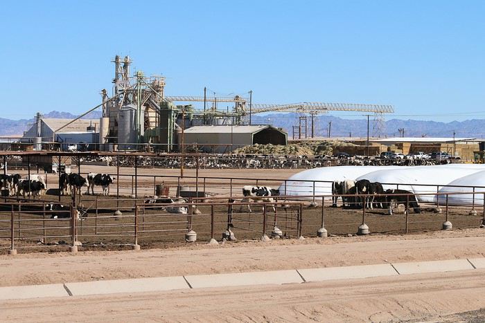
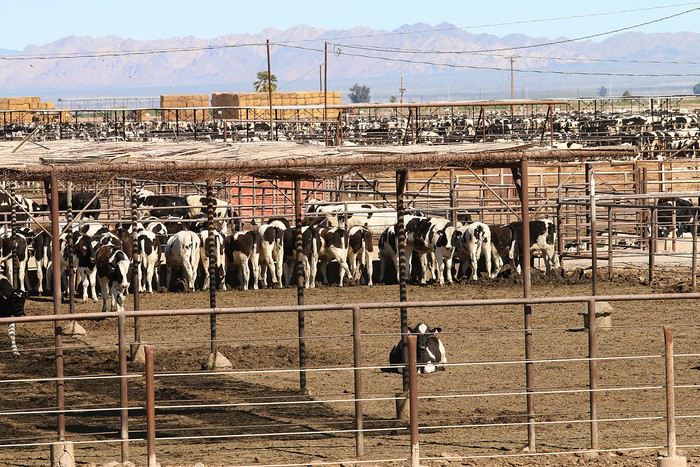
In Brawley, we stumbled upon a farm with 1,000 cows... well, more like 100,000 cows!!! Welcome to a modest American agricultural operation...


All the cows are fed hormones, and the smell—detectable 15 km away—is absolutely putrid ๐Ÿ˜ ! It’s a far cry from the scents of our countryside.


The photos don’t do justice to the sheer scale of the operation: cows are packed by the thousands into dozens of enormous pens. The sight of all those animals is heartbreaking ๐Ÿคช! Enough to make you lose your appetite for meat.

Around noon, we ended up in Calipatria, where we enjoyed a BBQ pizza while running one last load of laundry.

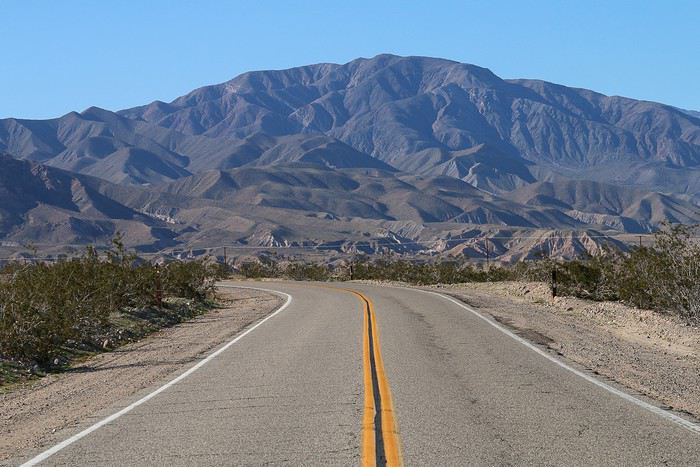
On the road again, just before the next stop


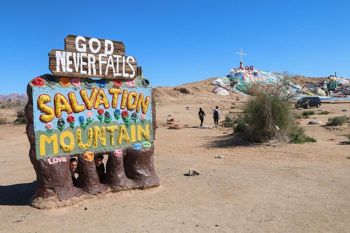
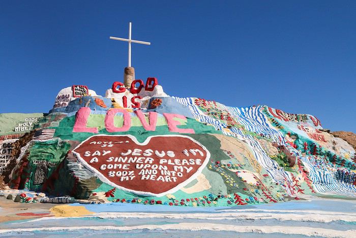
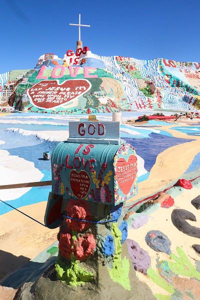
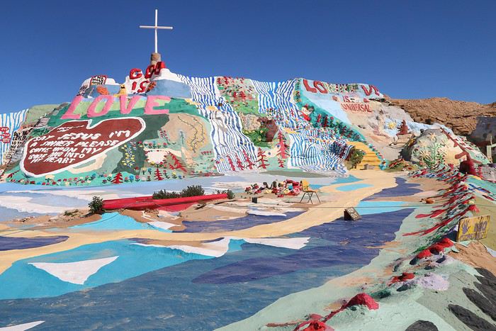
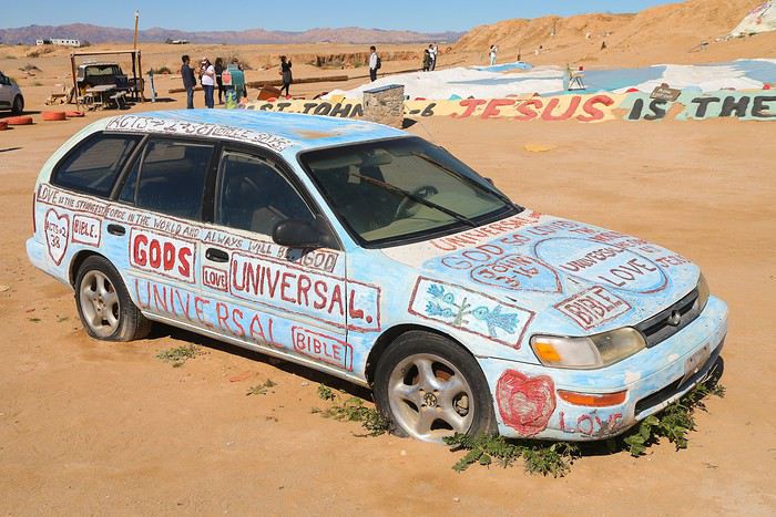
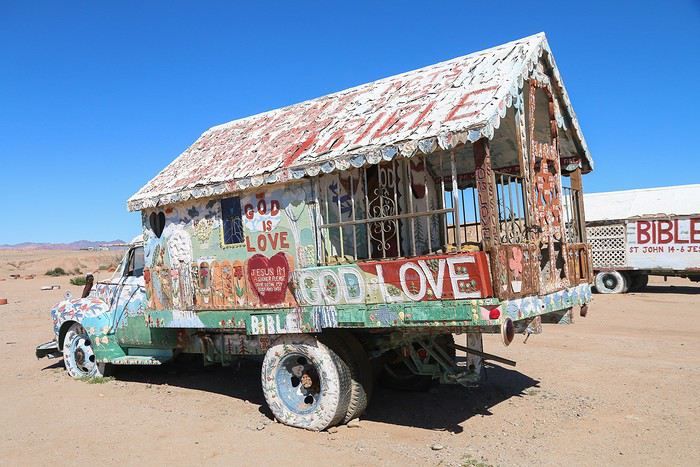
Then, we arrived at Salvation Mountain, a creation by peace-and-love hippies who only know three words: God is Love.


The main mountain is super flashy. You can’t even imagine how many cans of paint it took to pull this off. ๐Ÿ˜ฎ


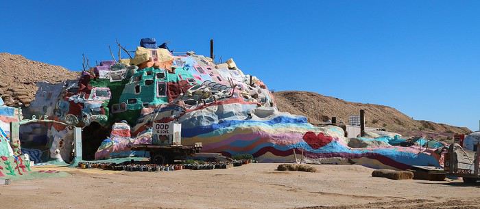
Of course, walking on it is forbidden—you’d risk disturbing the layers of paint on the dirt below. And here’s a second hill.


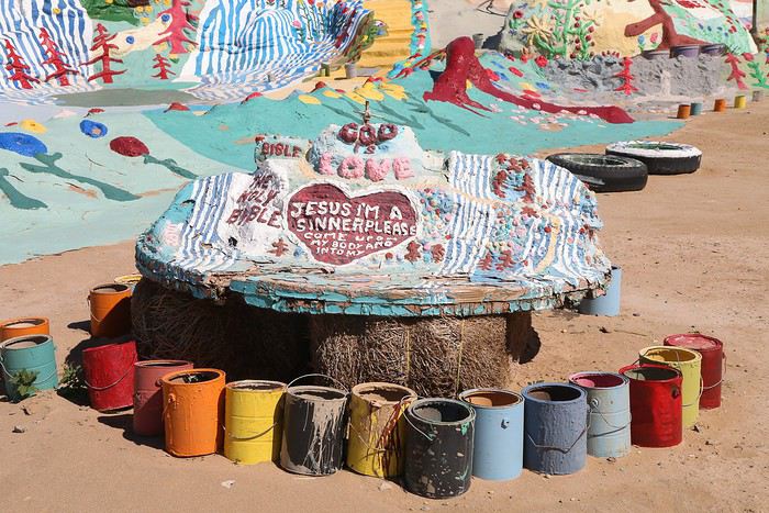
For those who didn’t get the paint concept, they show us empty cans...


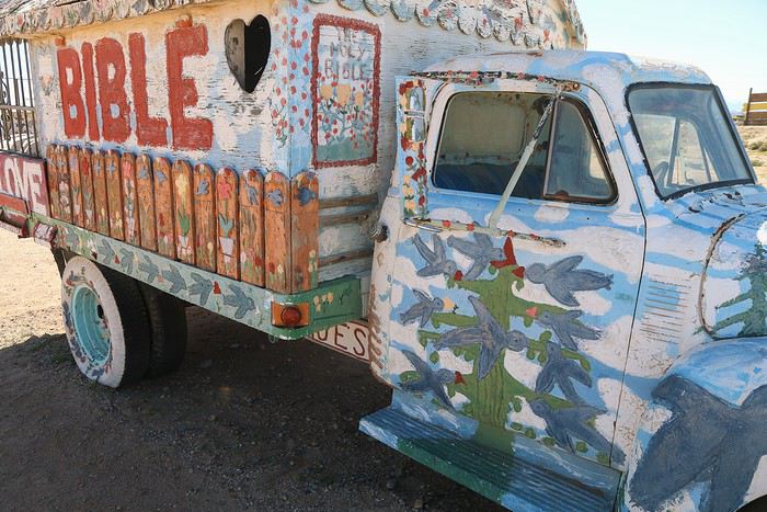
Since the mountain wasn’t enough, they painted everything they could get their hands on: cars, carts... ๐Ÿ˜


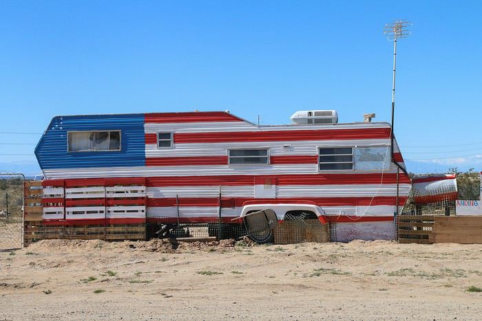
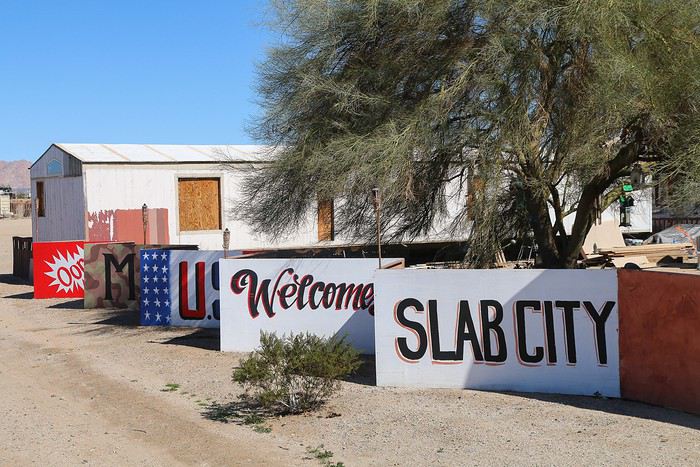
Once the guys finish their day’s work, they head back to their town, Slab City, to relax.


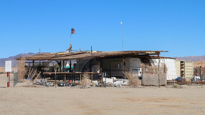
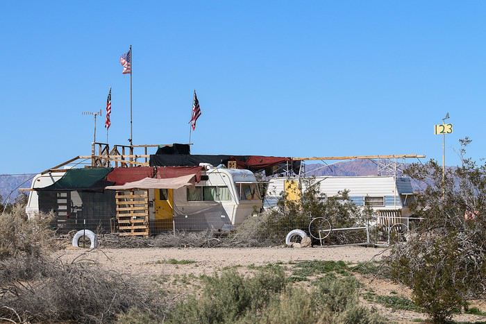
"Town" is a big word. It’s more like a string of makeshift trailers in the middle of empty lots. Some have real style, even if you wouldn’t exactly want to live there ๐Ÿคช!


We then backtracked toward Salton City, originally meant to become a beach resort on the shores of the Salton Sea.

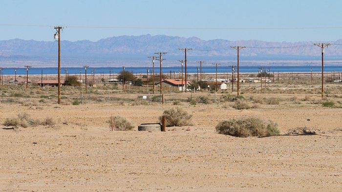
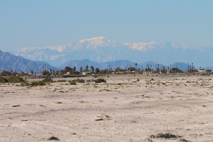
Before arriving—and trusting maps.me, which showed lots of streets—I expected to find a real town. Instead, we saw power lines and paved roads, but between them? Nothing but empty lots and desolation. ๐Ÿคช


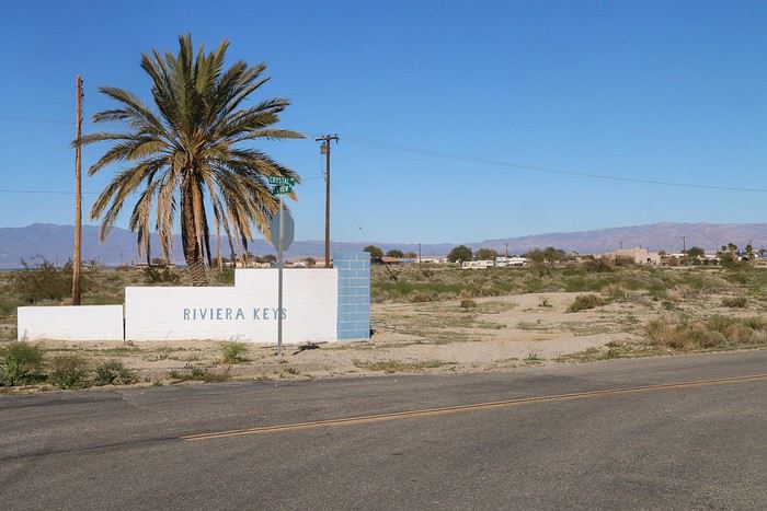
Here’s the entrance to a fancy hotel complex! But good luck finding the actual hotel... ๐Ÿ˜


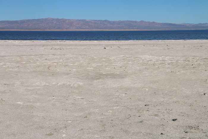
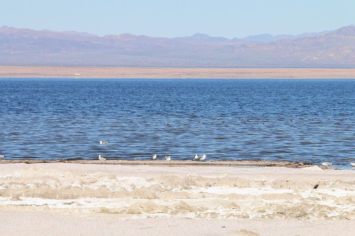
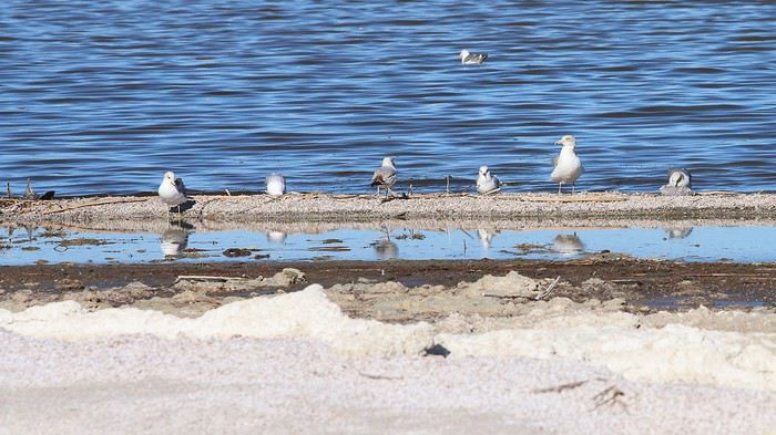
Then, we strolled along the beach.


The view toward the adjacent vacation village isn’t exactly inviting... ๐Ÿ˜•


Seeking warmth in California, Utah, and Arizona in February

Marati · 2019-04-05 · Message 179 of 246

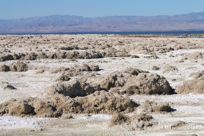
Too bad we didn’t think to bring our beach towels—otherwise, we would’ve stretched out on that beautiful expanse to soak up some sun. ๐Ÿคช


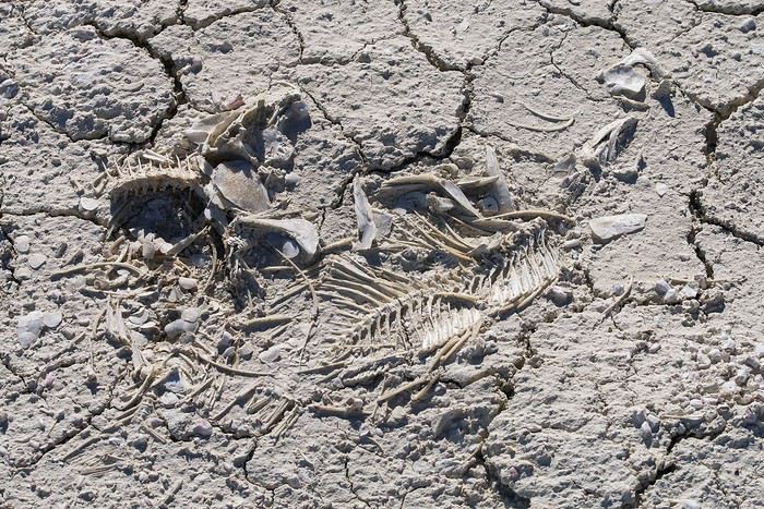
Why not here on these dried-up remains!


After the white sand, we’re off to taste the golden sand of Anza Borrego State Park.


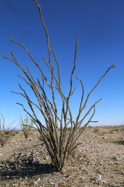
We discover our first ocotillo in leaf

Up close...
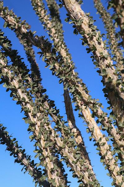


And with our noses right up to it...


We planned to sleep at a free campsite in the park, ideally located near Pumpkin Patch and Fonts View.

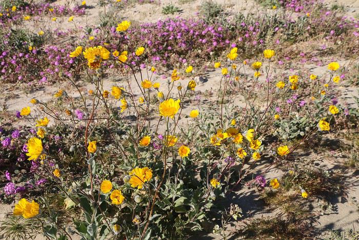
Here too, we enjoy the desert flowers,


Since we’re ahead of schedule, we figure we could head straight to Pumpkin Patch for sunset. First, we pass by Arroyo Saldo campsite—there’s still space available for later, so we keep going...

The track is fun to drive but requires a 4x4 due to deep sand. I found it trickier than the one leading to White Pocket because of the protruding rocks, which are best avoided...

Here, it’s easy

We leave our 4x4 at the spot Simonic mentioned and quickly cover the mile separating us from the GPS point.

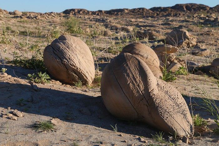
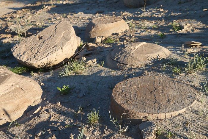
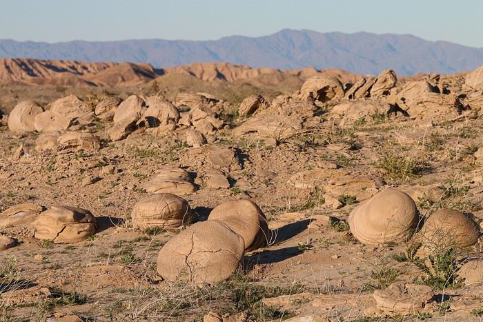
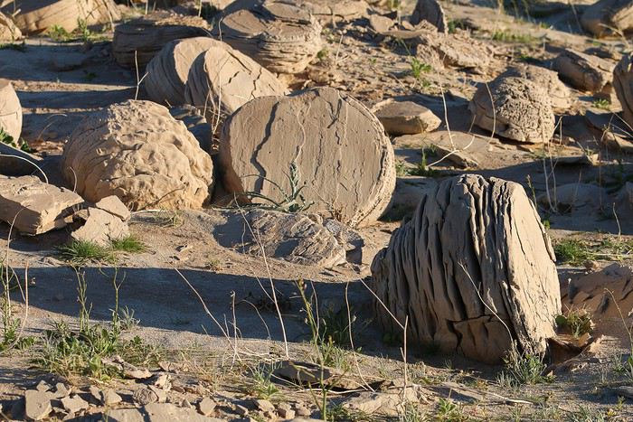
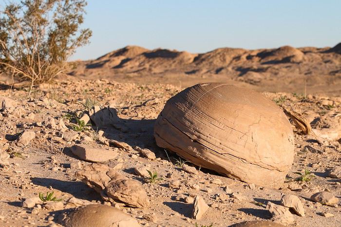
The site is nice, with lots of rounded rocks, but I expected to see more. ๐Ÿ˜•


I don’t see any other spots nearby where there might be more rocks, so this must be the main site... (Looking back at Simonic’s photos, I get the feeling we missed something—we definitely didn’t see as much as he did.)


We still enjoy the soft light of this beautiful evening


Then, we head back to the car without delay. Since it takes nearly an hour to return to the campsite, I want to avoid driving back in the dark.

On the way back, we take a wrong turn in the wide wash and scrape the undercarriage trying to cross over to the right track. Luckily, no damage...


Afterward, we settle in at a site to cook our meal. The evening is lovely—the temperature is finally pleasant, and it feels like it’ll stay that way tonight.


Wrap-up: Despite the 500 km of driving, our early start let us make the most of the day with a great variety of sights. A truly beautiful day!

Searching for warmth in California, Utah, and Arizona in February

Marati · 2019-04-08 · Message 180 of 246

Me 02/20 Anza Borrego SP – Joshua Tree NP

3ยฐC when we wake up, no dew, no frost on the tent... It's amazing ๐Ÿ˜Ž!! We just forget that the mattress keeps deflating faster and faster, and I have to reinflate it twice during the night ๐Ÿคช...
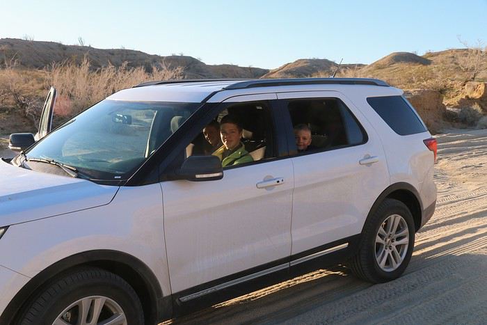
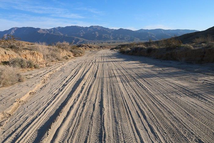
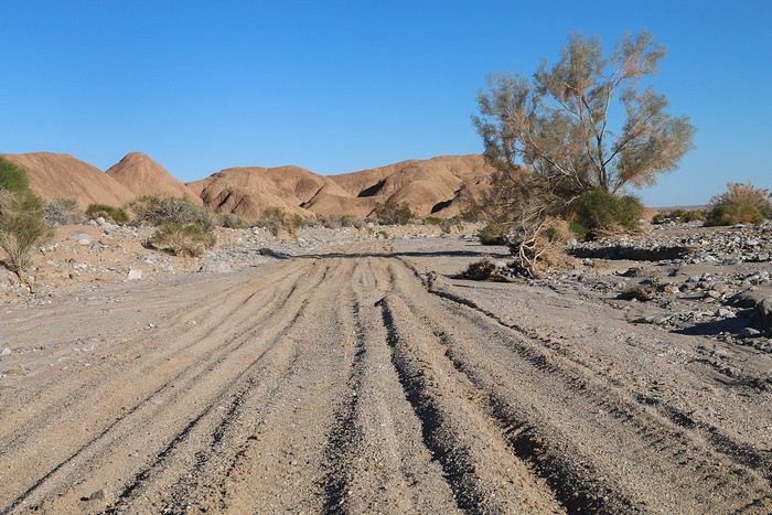
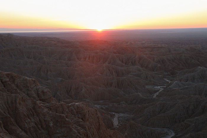
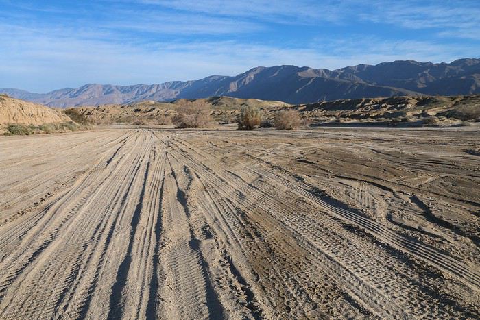
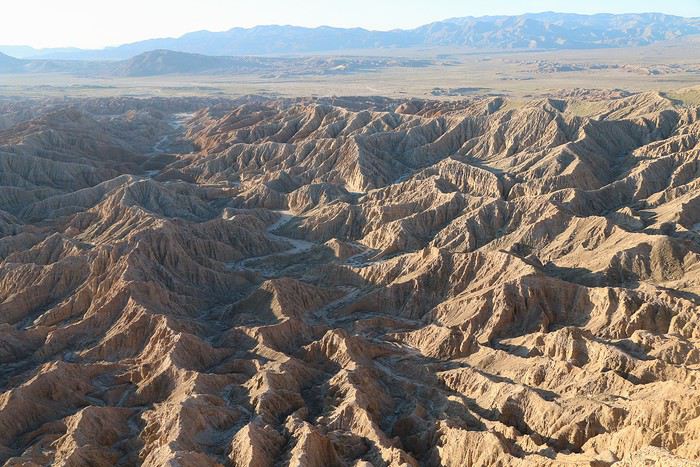
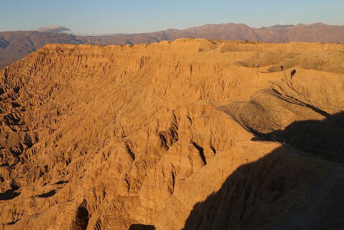
It's Anza Borrego day. What better way to start than with a little sunrise at Fonts View, located less than 10 miles from the campsite. A 4x4 is recommended to get there because the sandy sections follow one another in the wide, very wide wash.

We arrive at the parking lot a few minutes before sunrise. But the famous badlands are located due east from the viewpoint, and when the sun rises, we logically get it right in our faces! The ideal time to come is late afternoon.


Yet, Caribou wrote that we should come for the sunrise ๐Ÿ˜›... Either we come back this evening, or we make sure to be east of the viewpoint! We choose the second option, and I think Caribou was being mischievous because he must have known it would be a good way to get us moving early in the morning. ๐Ÿ˜

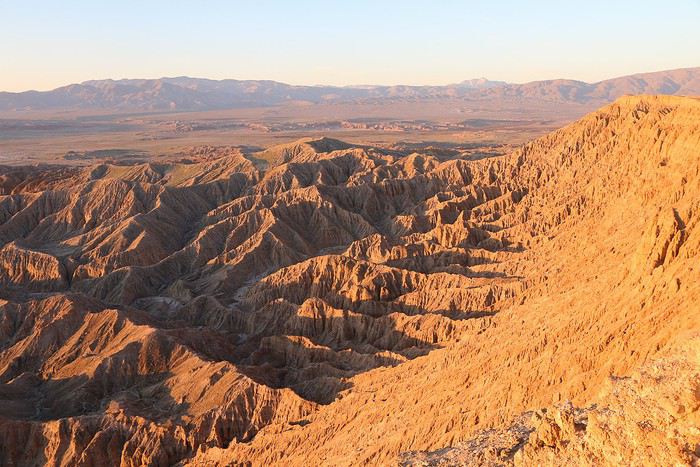
So we start walking along the very nice Rim. The kids follow at a distance, sharing a big box of cereal! Yeah, I forgot breakfast...


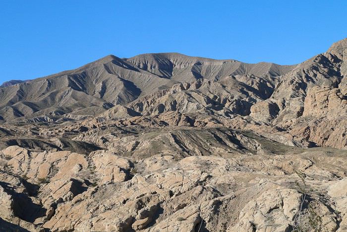
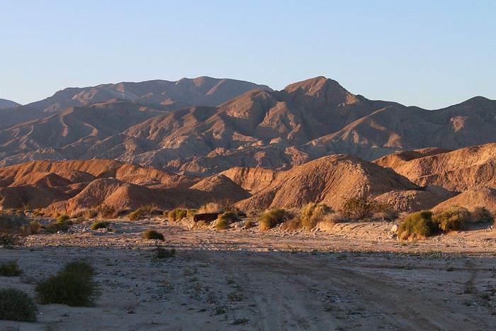
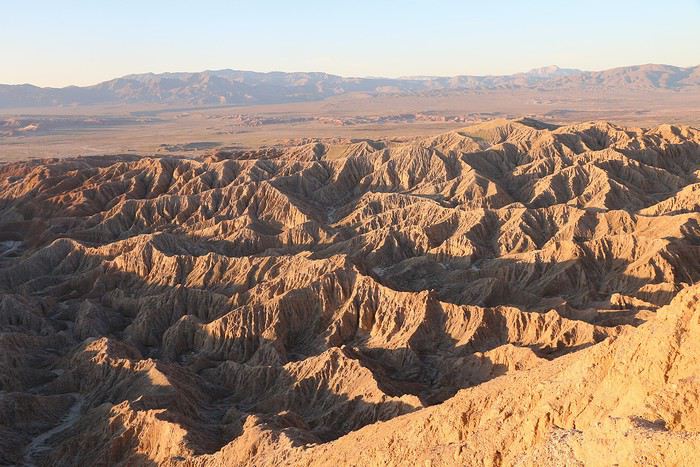
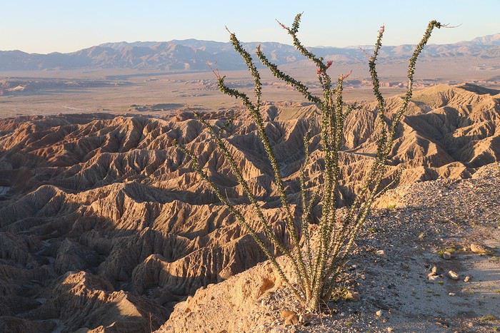
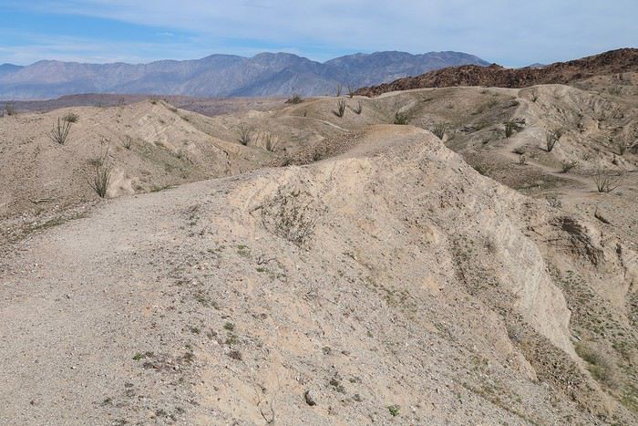
The different views of the badlands are absolutely stunning, and our little walk lets us appreciate all possible angles. We love it, and of course, we're all alone on site. ๐Ÿ˜‡ ๐Ÿ˜Ž


If we had come in the evening, we would have been lazy and not really appreciated it, so this is pure happiness.

On the way back, a photo with the kids gives an idea of the size of the site


For the return trip to the main road, I suggest Maxime take his first driving lesson: after all, there’s no better place than a track in an American desert behind the wheel of a huge 4x4 with an automatic transmission!!

He gladly accepts and suddenly becomes very serious.


I just hope Swimmer doesn’t pass by here, otherwise the list will get longer...

You should’ve seen the faces of the two youngest when he started driving: more stressed, you die ๐Ÿ˜!! Rachel keeps asking how far he’ll go. And I keep repeating: all the way to the main road!!!

At the same time, there wasn’t much risk of hitting a ravine or a tree...


Though... in the turns, I still had to correct the steering once or twice, but shhh...
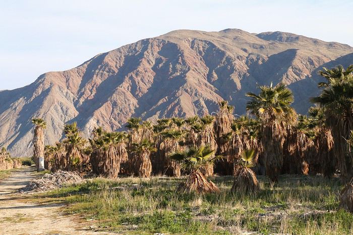
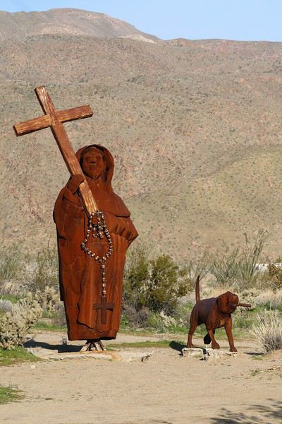
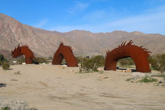
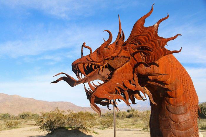
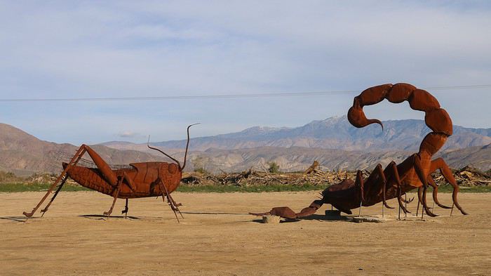
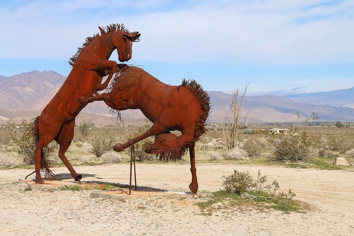
After this great experience, we head to Galetta Meadows, a desert of sculptures created by Ricardo Breceda. There are over a hundred sculptures scattered all over, and we’ll see several dozen along the road and by taking a few tracks.


The most impressive is this dragon


A small selection of other animals


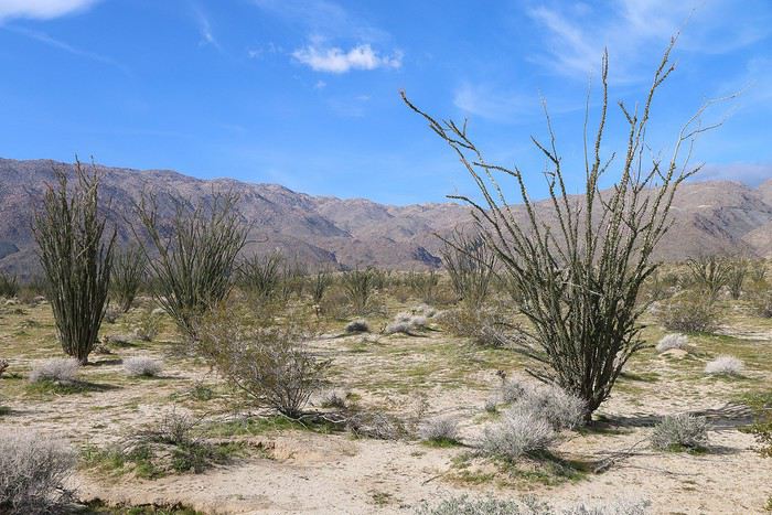
A huge "field" of ocotillos


Next, we pay our entrance fee to the State Park, then head to the trailhead of Borrego Palm Canyon, the last endemic palm grove in California.

But when we arrive, we’re just met with a no-entry sign. The heavy rains from the week damaged the path, and the hike is closed!! So disappointed... ๐Ÿดโ€โ˜ ๏ธ

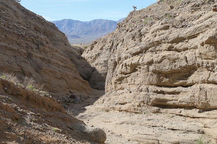
We continue south through the park by taking Borrego Springs Road to do "The Slot". The kids are thrilled—they love slot canyons in general!

There’s no signage, so we start by walking along a ridge, due east,


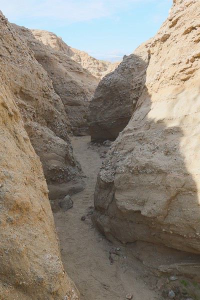
before descending into the wash and backtracking.


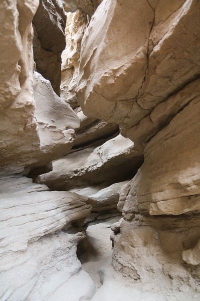
The walls start to narrow, and then we reach the "slot".


Let’s be honest. It’s not as good as a slot canyon in Utah, but it’s worth it in an area where they’re not common.

VoyageForum โ€” the largest community of French-speaking travellers.