Back to the discussion

in Entre deux voyages › Carnets de voyage

To the Top West End

Discussion started by Xrctn on 2020-09-14

23 replies

This thread has been translated into English.


To the Top West End

Xrctn · 2020-09-14

In this time of general travel-journal scarcity, I’m stepping up to tell you about a far-too-short getaway to the Top West End, a local term for the very northern part of Western Australia, right on the border ( ;) ) with the Northern Territory.

As usual, I didn’t manage to keep it short, but this time I’ve got photos to go with it!

August 2020. Since the opportunities to explore the world are extremely limited right now, all we (R&X) can do is explore our own island! Well, just a part of it, because with the state borders still closed, we’re stuck in Western Australia (WA).

Luckily, we’re pretty fortunate because this state is huge: over 2.5 million km² (that’s more than four times the size of France or 1.5 times Quebec). What’s more, stretching over 20 degrees of latitude between the Antarctic Ocean and the Timor Sea, you’ll find climates ranging from Mediterranean to arid to tropical. That’s actually why we decided to head as far north as possible. Sick of the endless rainy winter in Perth, bring on the heat of the Kimberley... way up Nooorth!

Friday. At the airport, the main terminal was closed (not enough flights), so we ended up in the annex (where flights to the various mines usually depart from). There was no crowd at the gate, and in this huge, single departure lounge, empty seats were plentiful. Only three flights were listed on the screens for the rest of the morning: the first to Coondewanna (?), the second to Darwin, and ours to Kununurra (code KNX).

A cool breeze swept through the half-open corridors along the runways. At the top of the walkway leading to the Fokker 100 (the Airbuses and Boeings are now parked!), a flight attendant greeted us with a basket full of sanitary masks. We were actually the only masked passengers (the staff weren’t wearing them either). With zero Covid-19 cases in WA at the time, the only rule was to maintain social distancing—something pretty hard to do on a full plane!

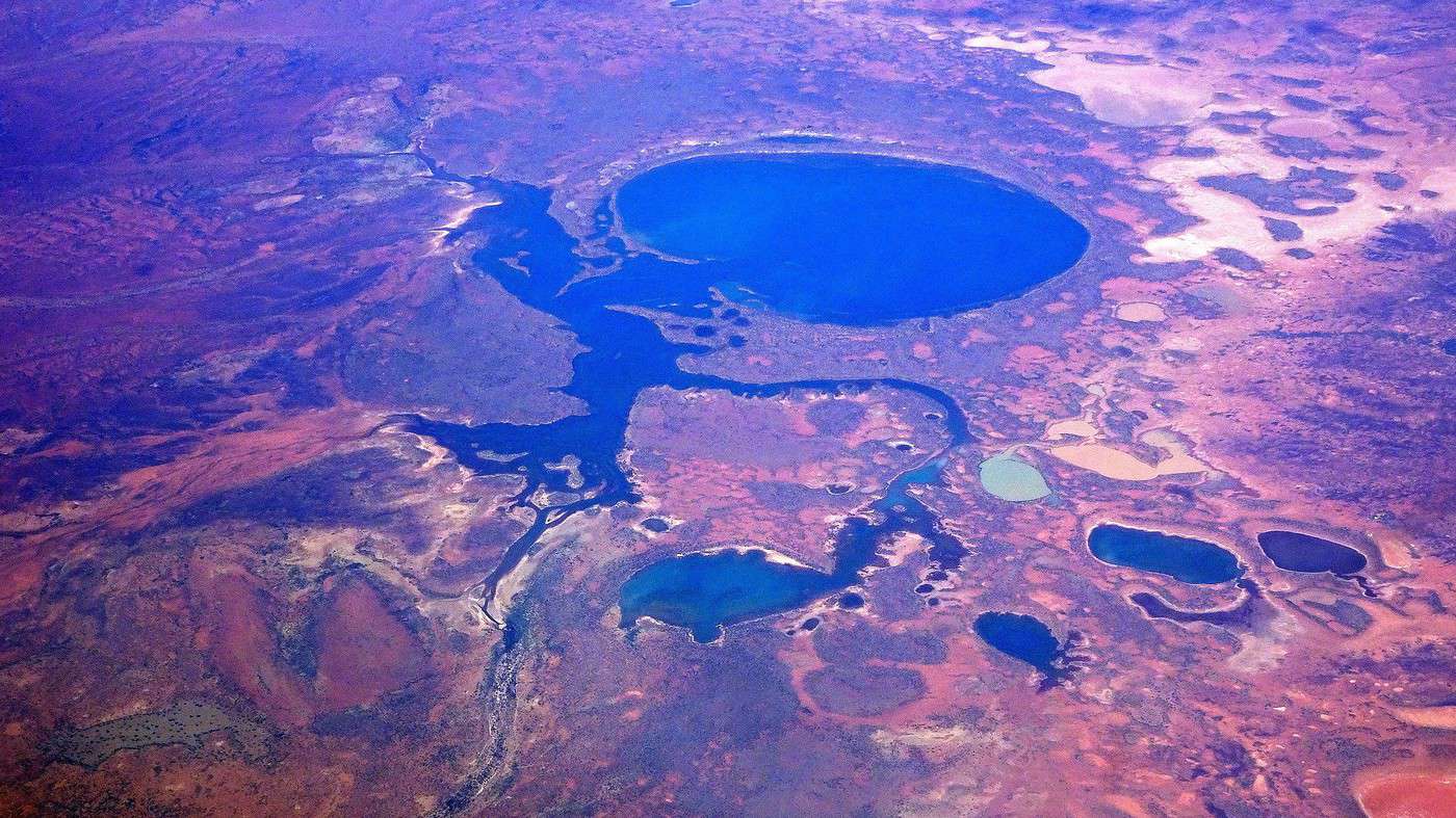
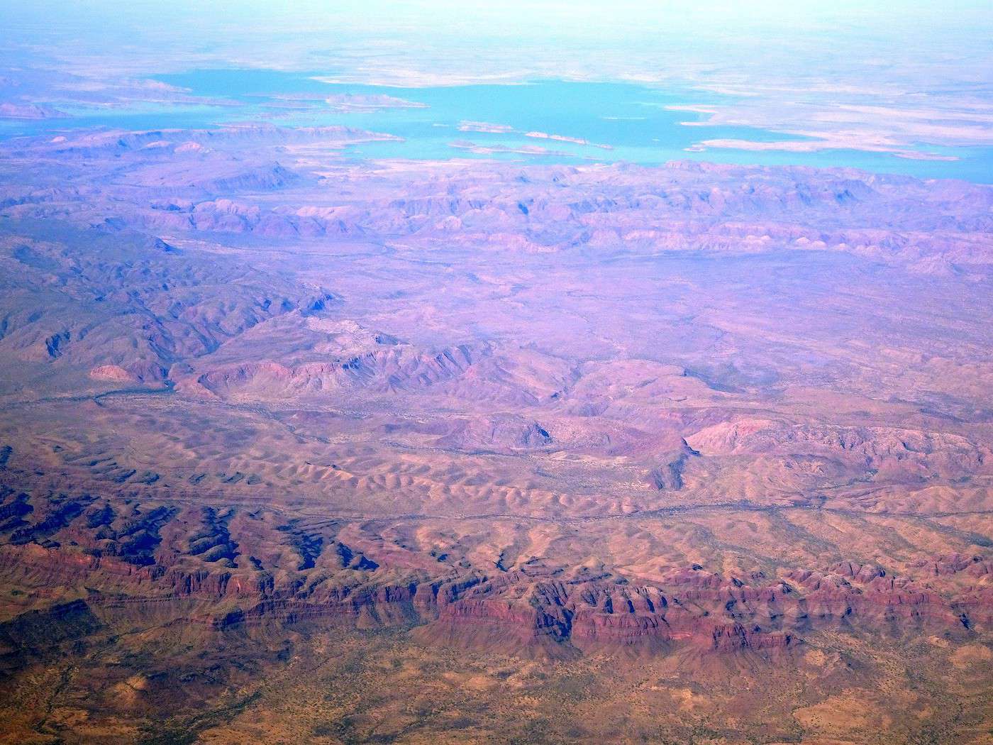
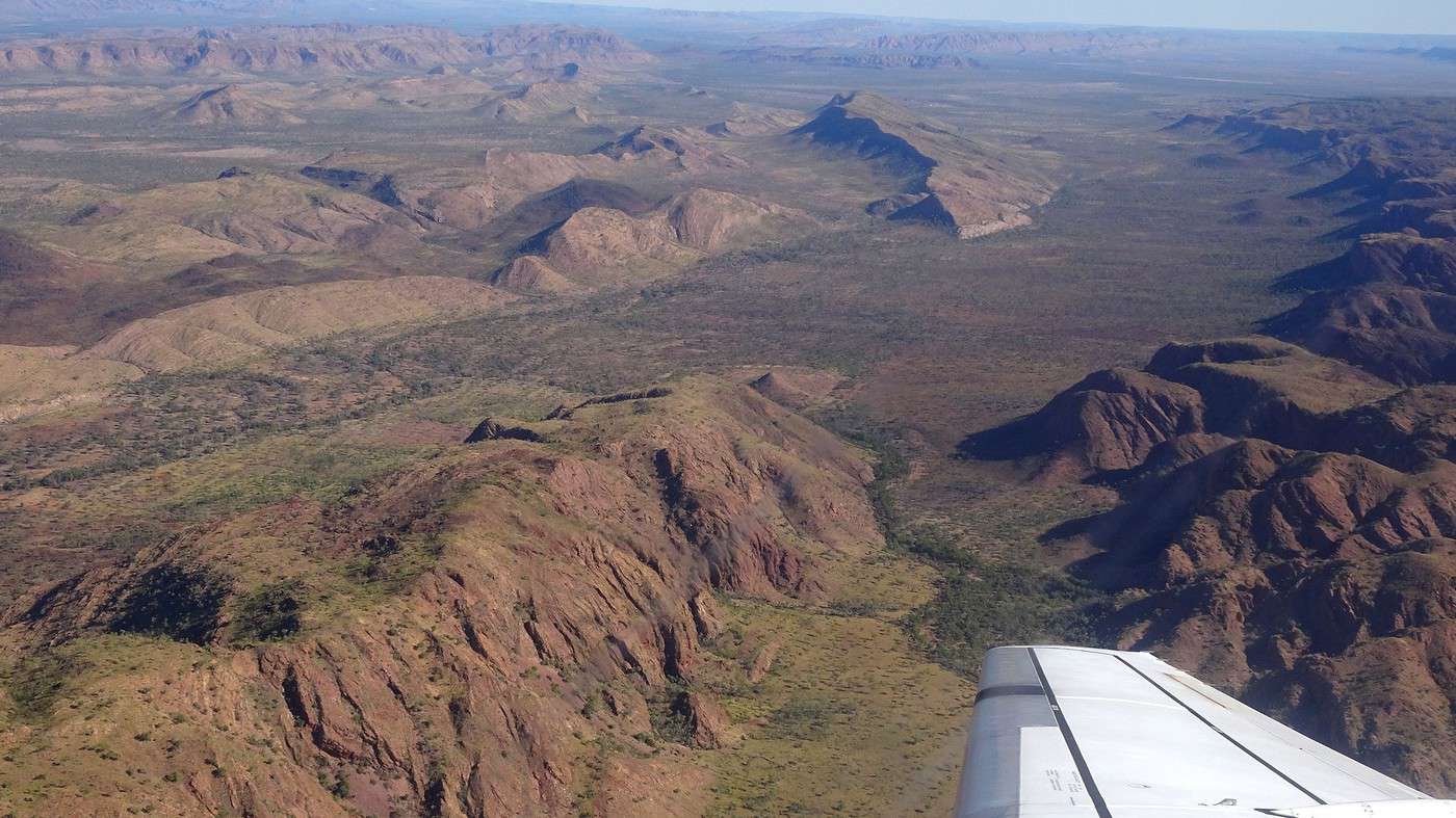
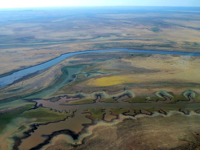
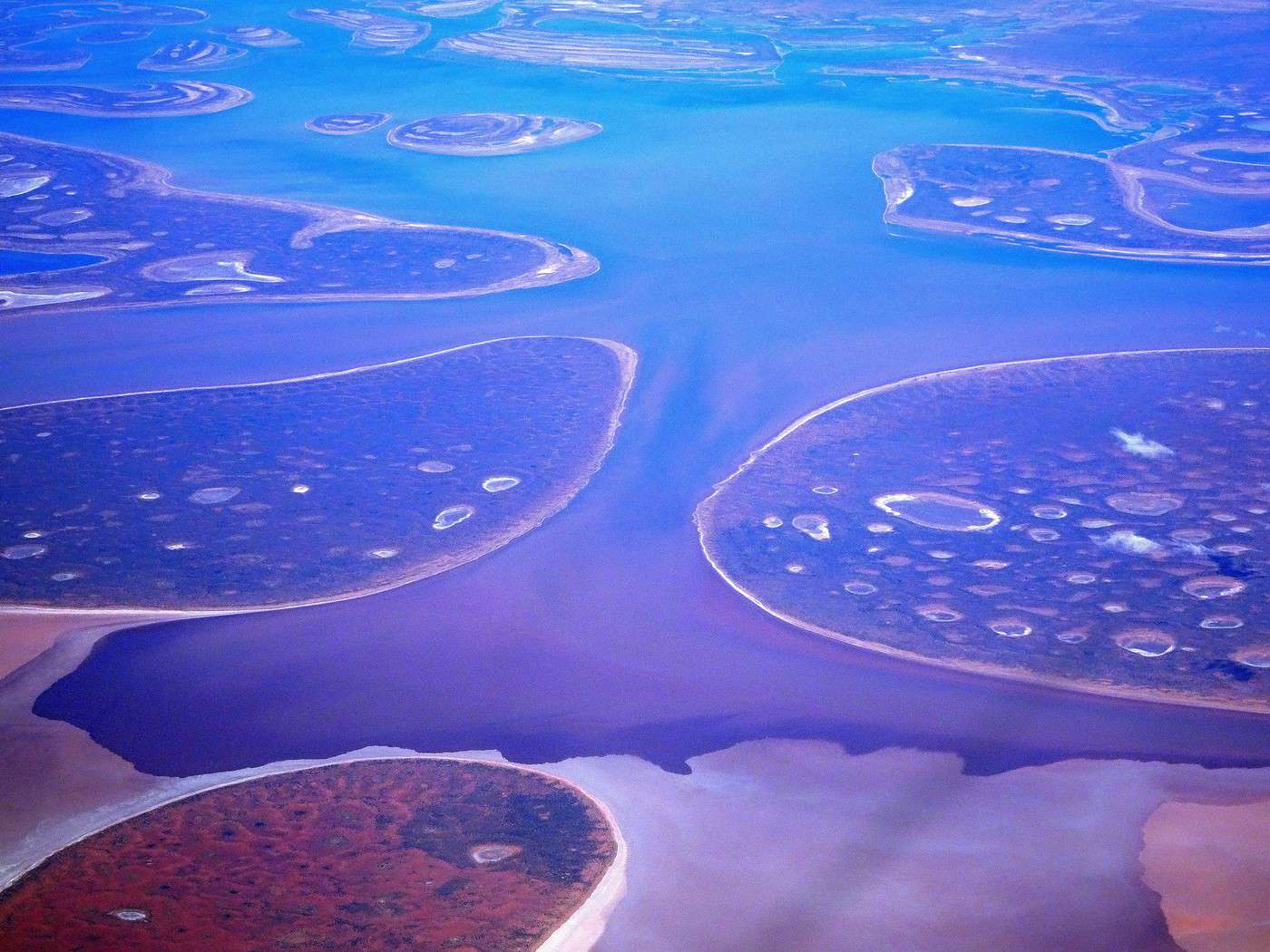
It was also my first time wearing a mask—it felt weird, pretty uncomfortable, and after a while, painful behind the ears. I really feel for those who have to wear one all day, every day. The flight lasted three long hours, but luckily, I had a good book. From the window, I watched an endless expanse of salt lakes in all shapes and sizes—round, elongated, gray, white, sometimes blue and green—and an infinity of winding, capricious meanders, along with long straight lines that led nowhere. The last half-hour got more interesting as rocky, swollen formations and long, sloping plateaus appeared. Against the vast ochre landscape, green patches became more frequent.
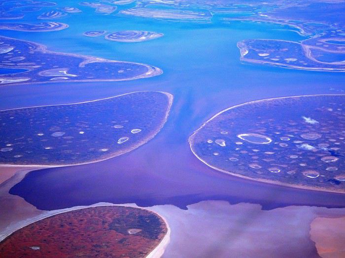
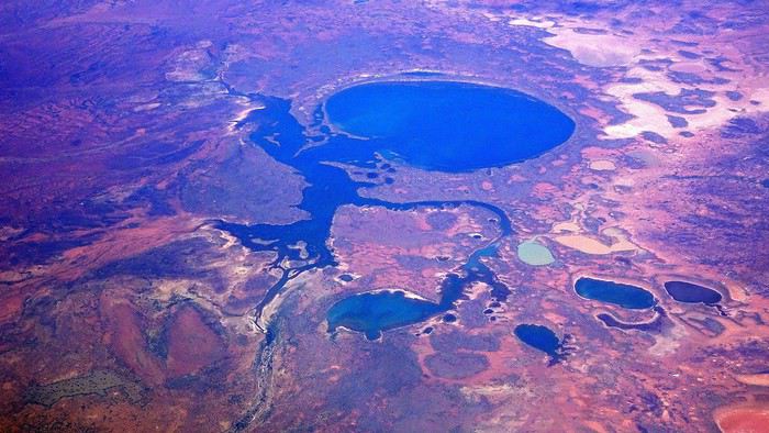
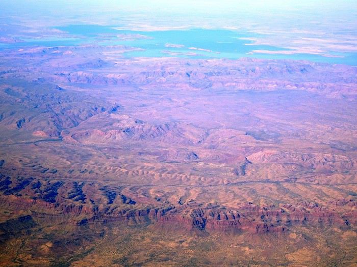


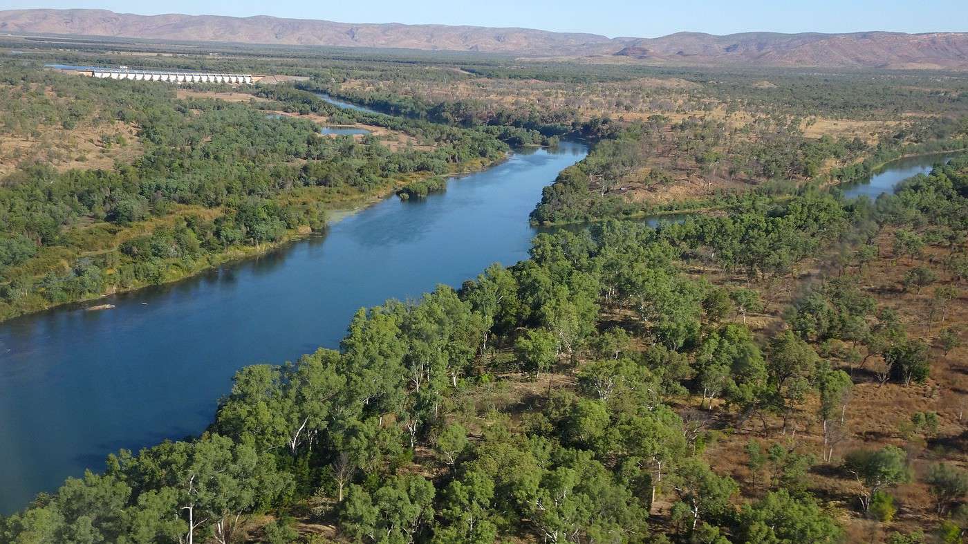
Just before landing, rows of green fields briefly appeared, along with an surprisingly wide river—but we were already rolling down the tarmac. A few hangars, a myriad of small, stationary planes, and a tiny terminal topped with a sign: “Welcome to Kununurra.”
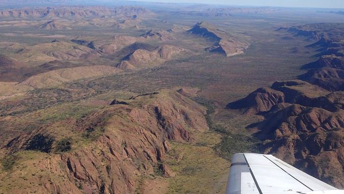
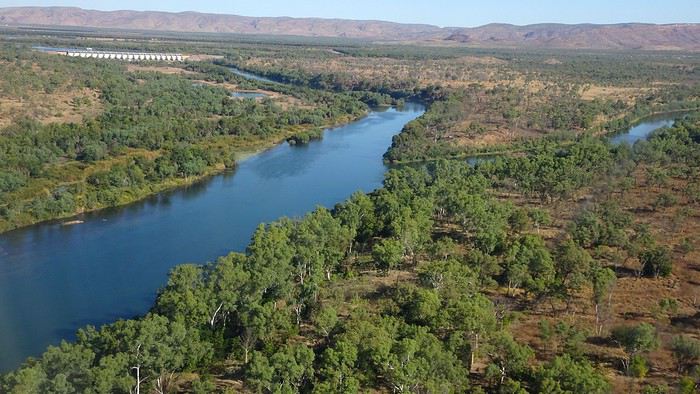


We wanted heat, and here it was—34°C the moment we stepped off the plane! We felt alive again and totally ridiculous in our jeans and sweaters. We quickly grabbed our suitcase and picked up the 4x4 we’d rented—more out of necessity, since only that type of vehicle can access the national parks we planned to visit.

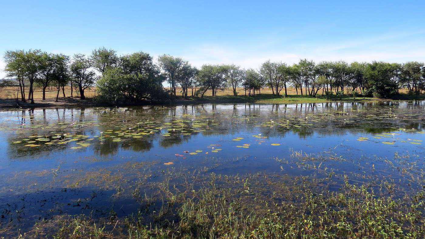
Just four kilometers separated us from Kununurra, a town of 5,000 people founded in 1961 during the construction of the Lake Argyle Dam and the development of the Ord River Irrigation Area Scheme (more on that later). On the horizon, mountain ranges (a bit of an exaggeration, since we know Mt. Meharry, WA’s highest ‘mountain,’ doesn’t even reach 1,250 meters!) and closer to the road, a few irrigation canals cutting through stretches of bush, then a huge park overlooking a small lake lined with reeds.

A row of baobabs (yes, there are baobabs in Australia too!), a series of motels with immaculate lawns, a gas station, and there’s the main street leading to the town center—that is, the parking lots of the two supermarkets, the bottleshop, the pub, the Town Hall, the municipal pool, and the Tourist Office (already closed!), and at the next roundabout, another park, the Presbyterian church, and a few other shops. In short, two or three green blocks that you can explore in no time.

One road leads to the small industrial area and one of the town’s three or four campgrounds, while another heads toward the residential neighborhoods, which look just like the typical suburbs you find in any Australian city—except with tropical vegetation. We stocked up at Coles, an identical copy of the one near our place, and—surprise—the prices were practically the same.

We checked into one of the motels. The receptionist listed the town’s three or four restaurants, insisting that it’s always better to book a table. She recommended the Pump House, a bit outside town on the lake’s edge. “Best spot to watch the sunset, but hurry up.” she told us. It was only 5:00 PM!

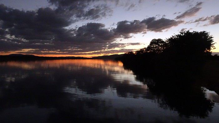
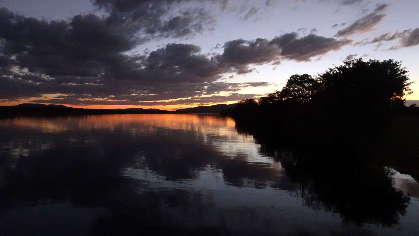
When we got there half an hour later, the place was packed, and the sun had already disappeared behind a row of trees! Sure enough, we’d see a few days later that the sunset can be a stunning spectacle—if you wait a bit for the sky (especially if it’s cloudy) to blaze and reflect in the lake’s calm waters. A little disappointed, we headed back into town, where we easily found the other lively spot in town: the pub (nothing like an old English pub). Above the long L-shaped bar, several giant screens (thankfully muted) were broadcasting live footy, rugby league, etc. In one corner, players circled the pool table, while in another, customers were digging into plates of the day’s special. Instead of rooms, there were various patios where groups of friends and coworkers (easily recognizable by the fluoro vests they were still wearing) were gathered. We found a table under a mango tree—unfortunately, a little too close to the guitarist strumming his entire Country Music repertoire, complete with Keith Urban-style tremolos. Guaranteed culture shock!

Since it’s the custom here, we called the Country Club to book a table before the kitchen closed! The CC is the town’s—and even the region’s—fancy spot. Dark decor, modern furniture, dim lighting, and the air conditioning blasting. The twenty or so customers had taken refuge on the vast terrace, lit by torches. The view of the tall eucalyptus trees, illuminated by spotlights shifting from red to blue, was breathtaking.

The menu was minimal, but the grilled salmon was excellent, and the Pavlova (the meringue dessert Kiwis and Aussies have been arguing over since 1906) with melon and watermelon was absolutely divine.

It wasn’t even 9:00 PM, and we were already in bed. Had we already adopted the Top West End’s chicken schedule?!

To be continued... Journal dedicated to Attila
To the Top West End

Xrctn · 2020-09-15

Saturday. 08:30! Okay, fine, we’re still city chickens—those of us who love sleeping in and forget that at these latitudes, if the sun sets early, it also rises early and fast.

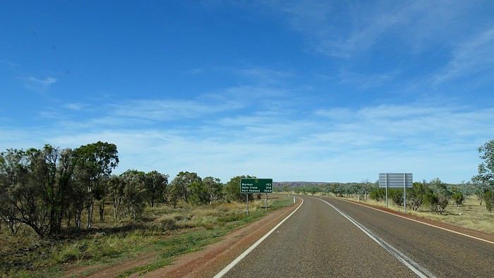
We realize we’ve just ‘wasted’ a few precious hours because the sun is already high and hot when we hit the road to Wyndham, the northernmost town in WA, about a hundred kilometers away.

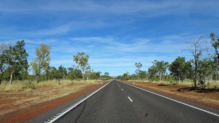
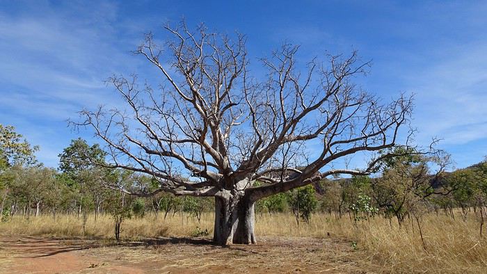
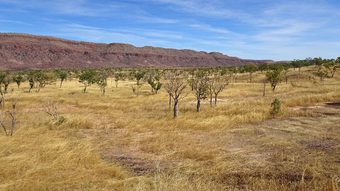
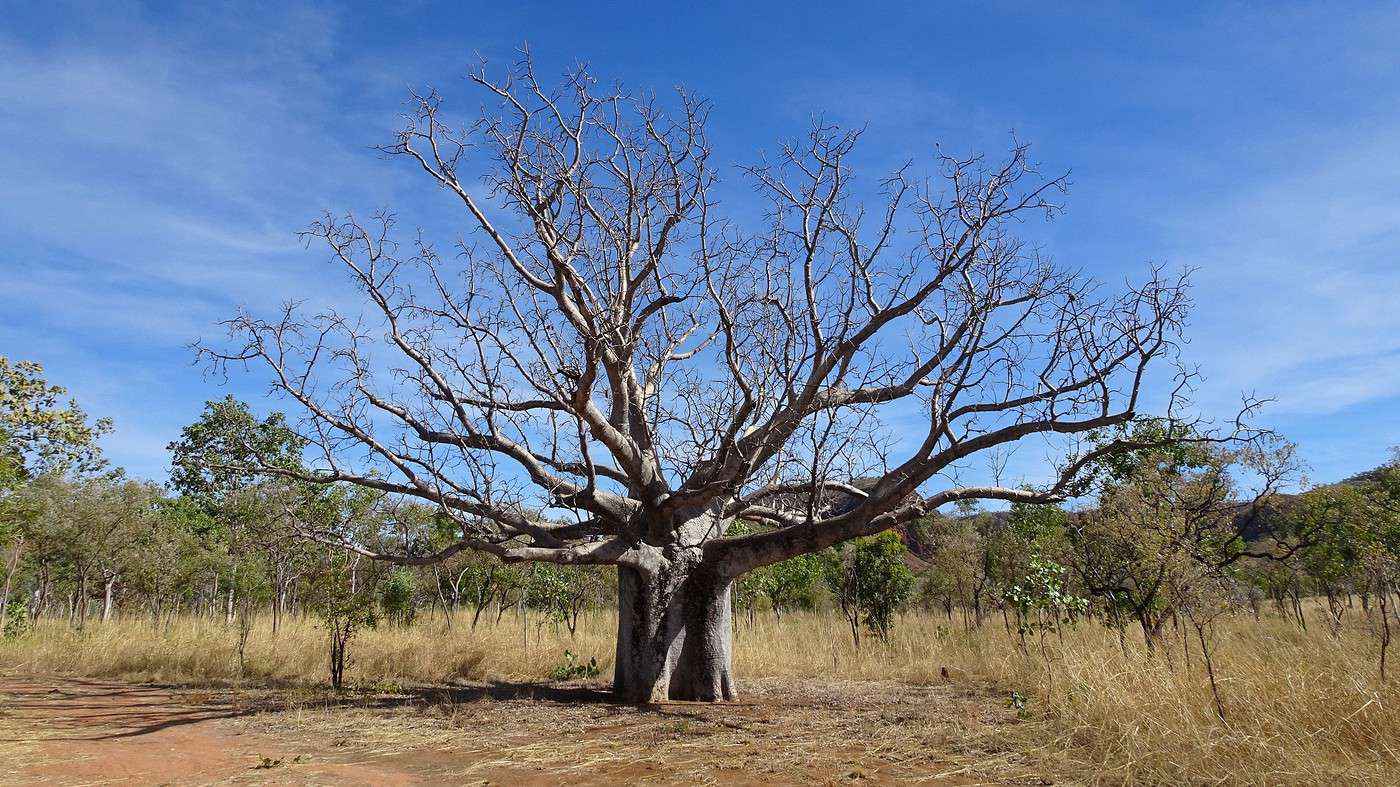
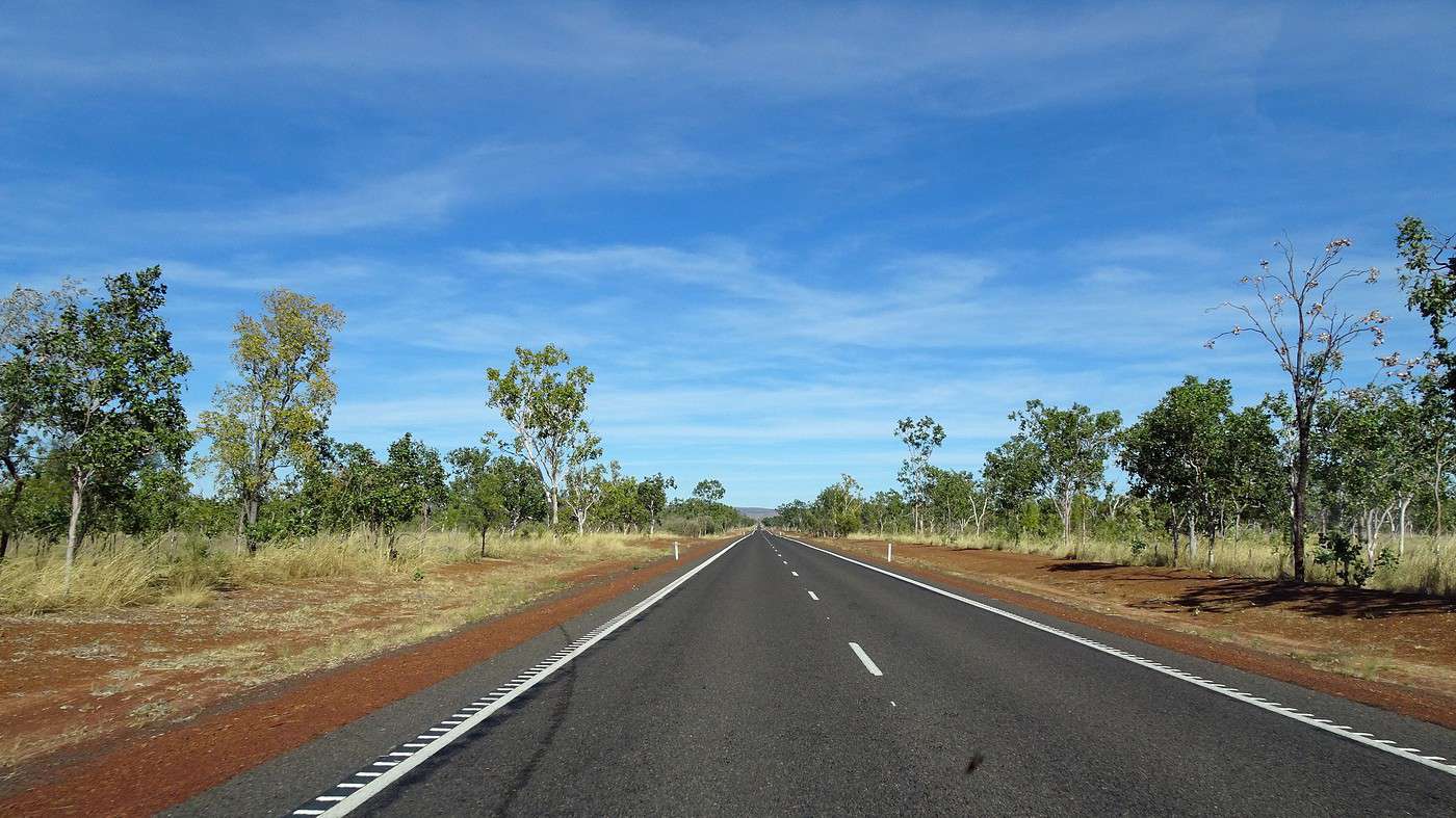
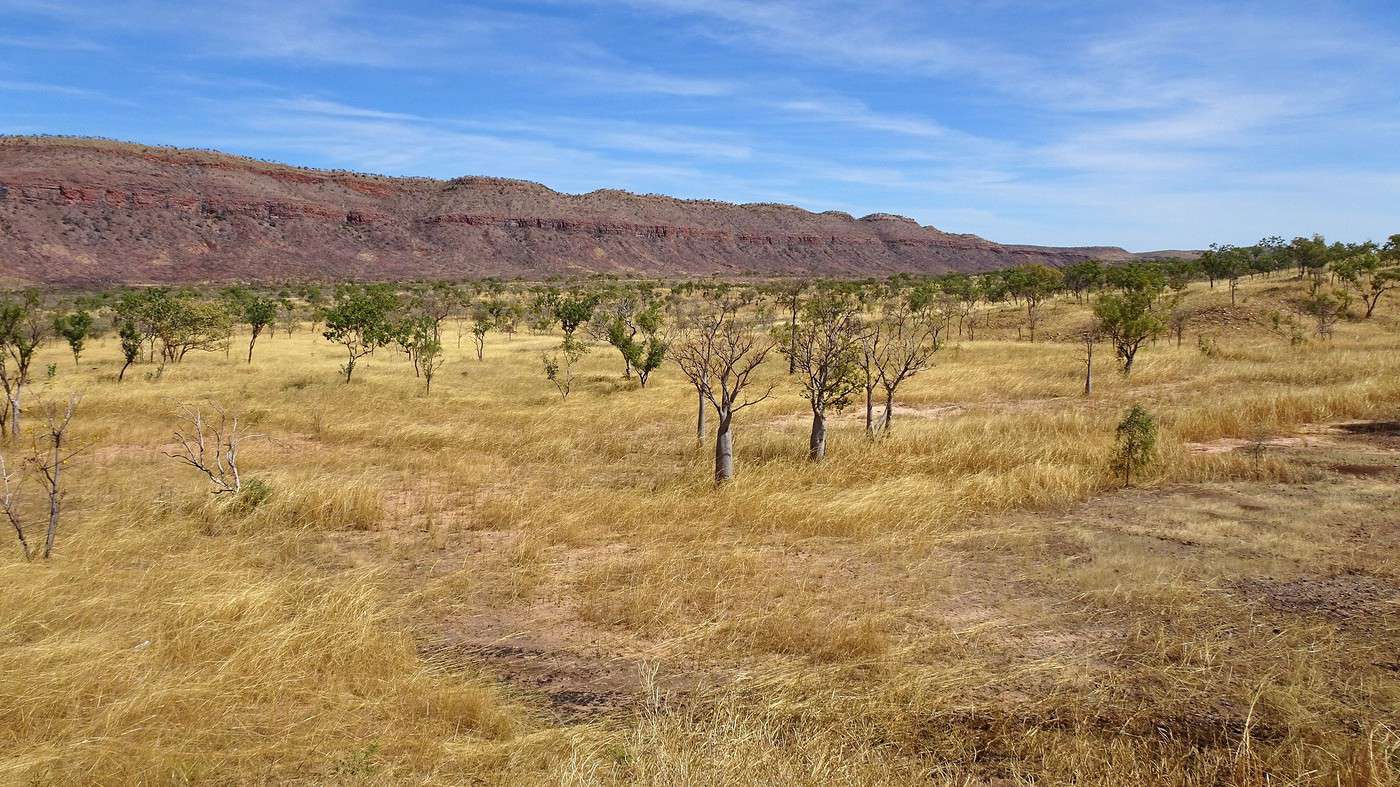
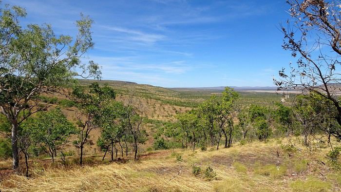
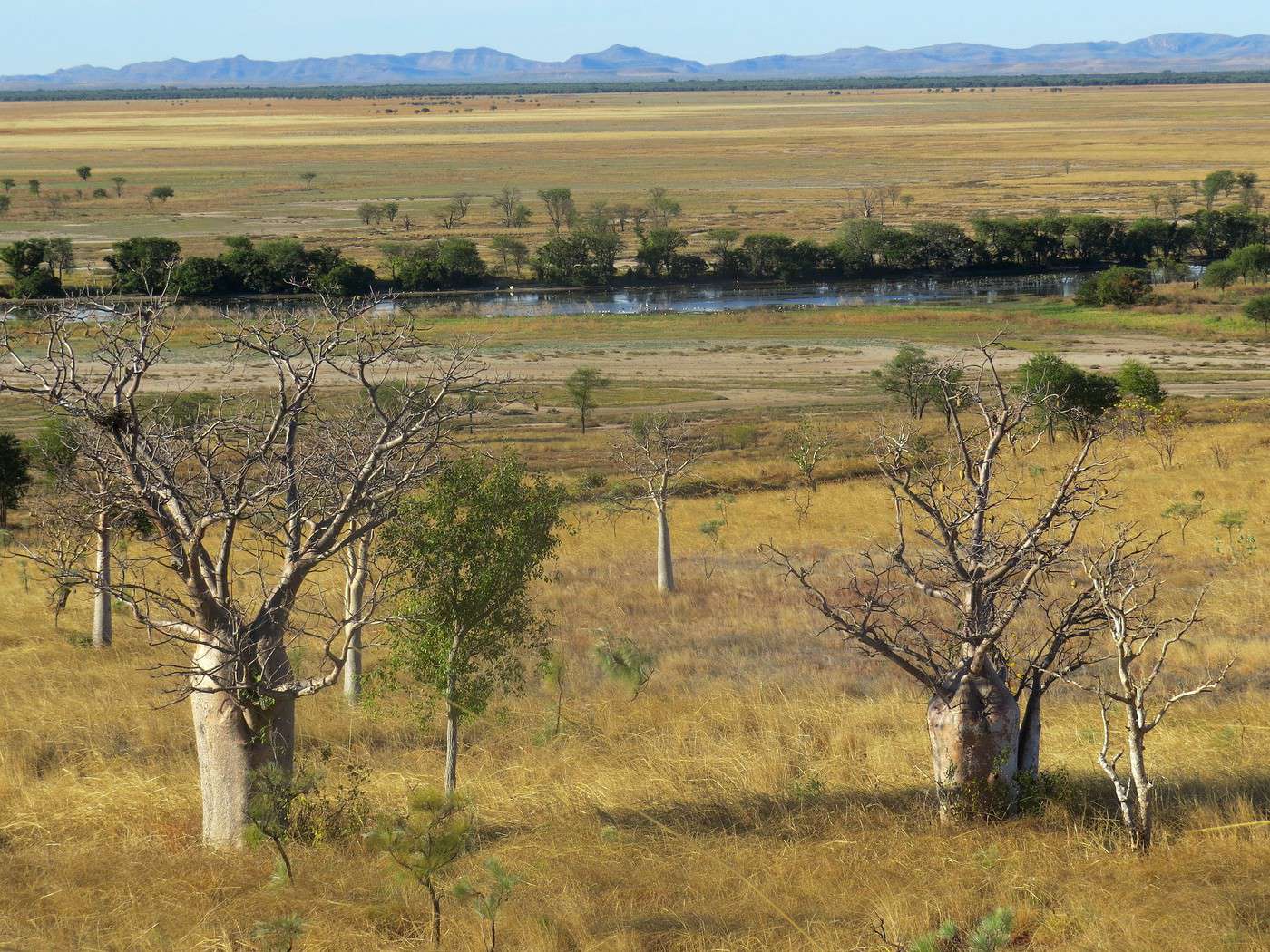
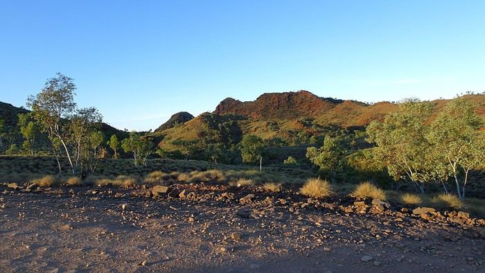
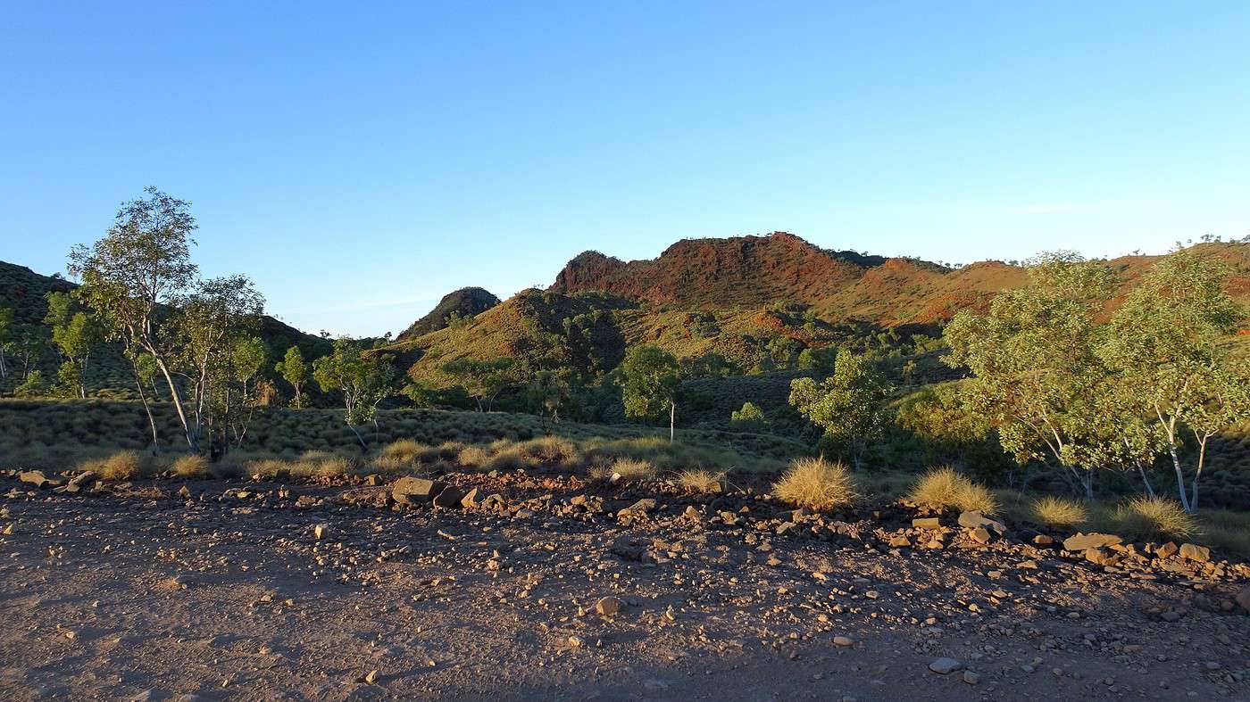
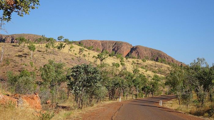
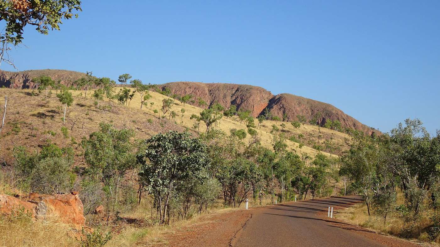
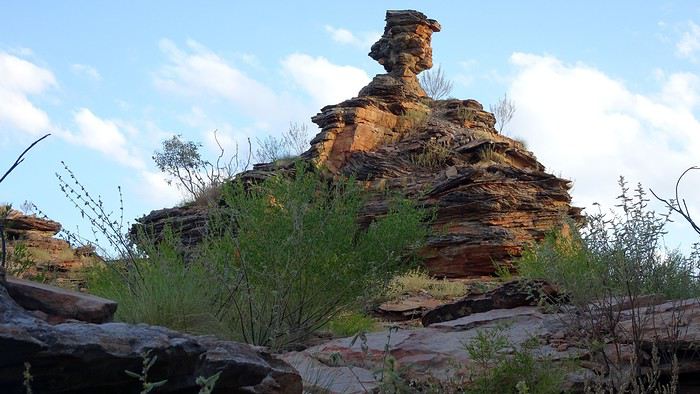
After passing the airport and then the Diversion Dam on the Ord River, we drive along an endless, absolutely deserted straight road between long red rock formations, pale yellow stretches of spinifex (tall grasses), new varieties of eucalyptus, and more and more gray baobabs of all sizes. Some only have their fruit dangling from the ends of their bare branches, while others still have their tiny leaves. How can such an imposing tree have such small leaves?

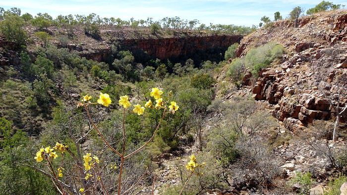
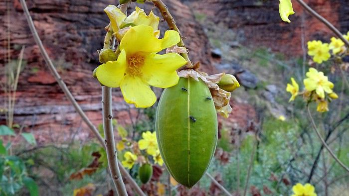
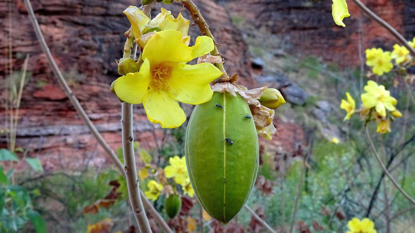
The euphoria of vast, empty spaces and the sense of freedom they bring washes over us. We stop often—either to inspect those curious shrubs with yellow flowers up close, to touch the baobabs or strange rocks, or simply to breathe in the warm holiday air and feel the sun’s prickling heat on our skin.


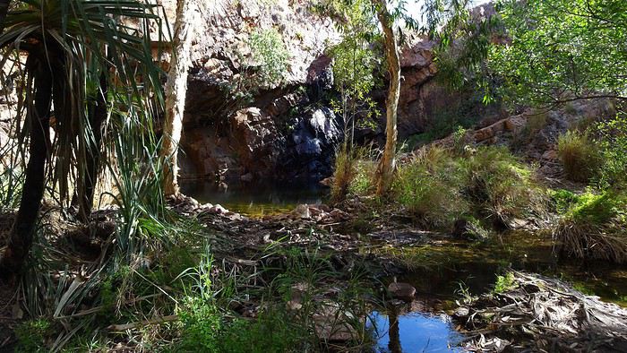
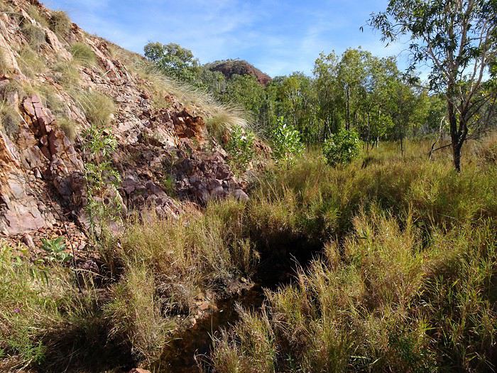
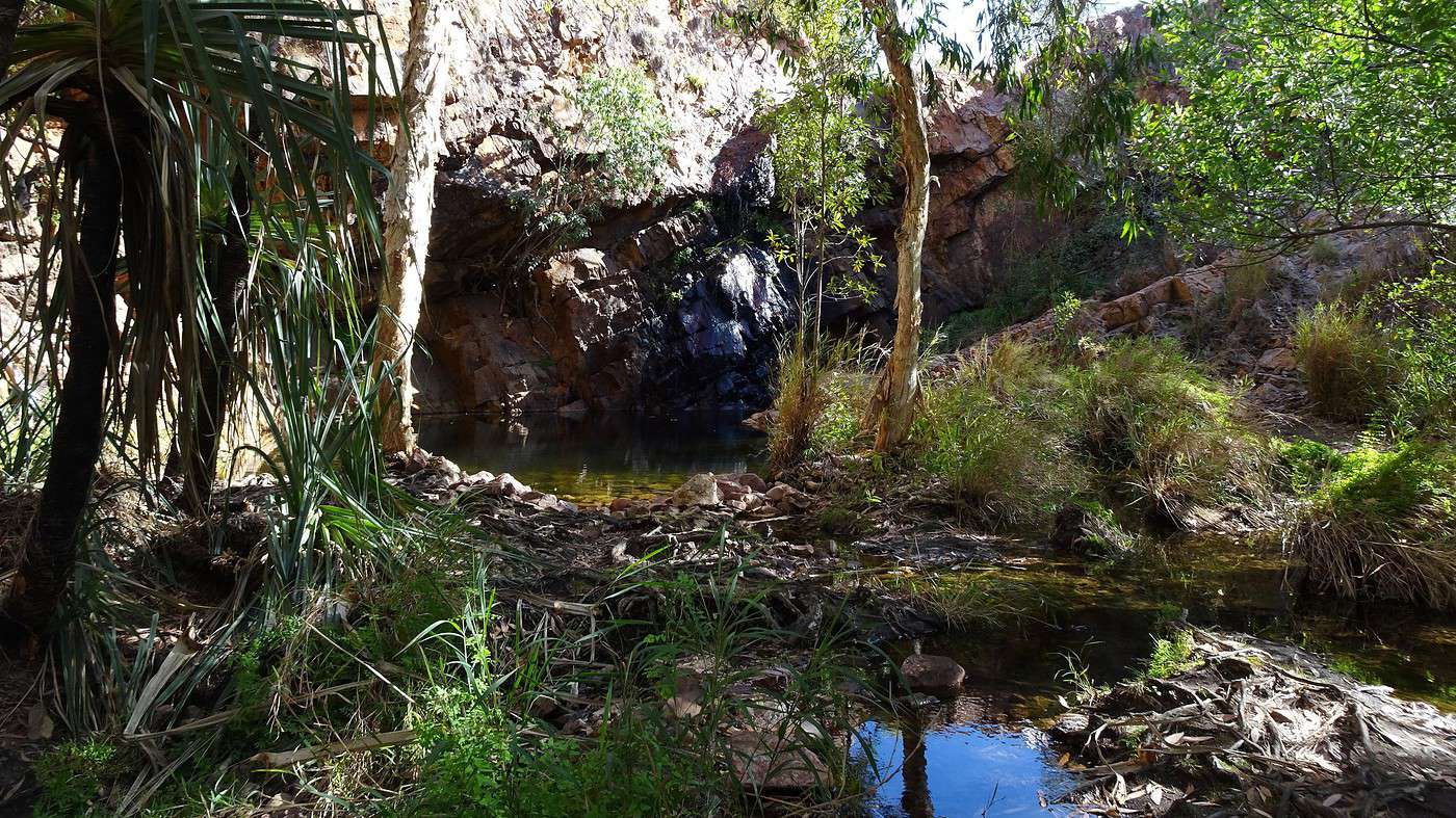
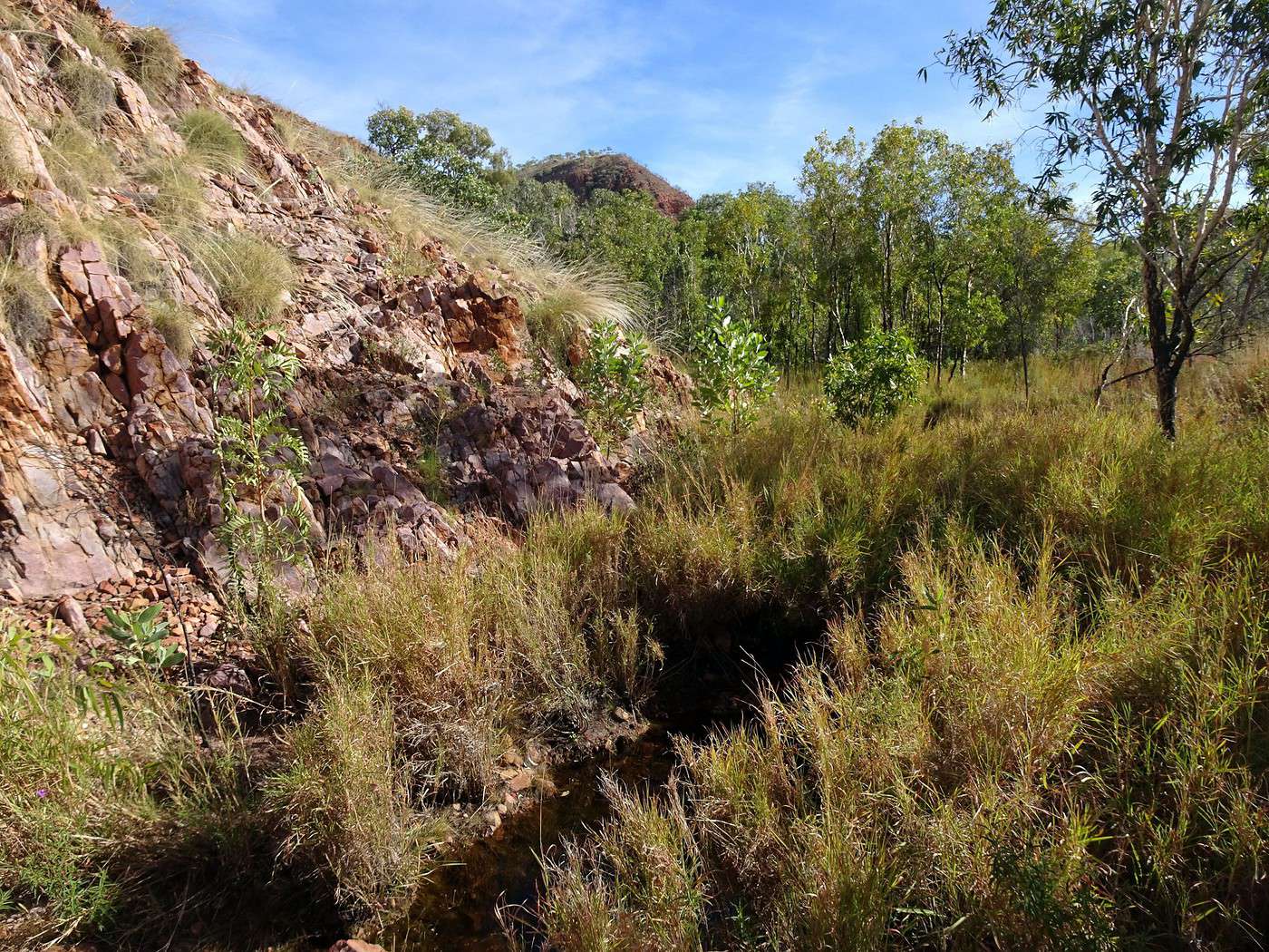
A sign announces Molly Springs to the right. We follow the red track that winds into the sparse bush toward a rocky outcrop we can more sense than see. A few kilometers later, we discover a creek (stream) with a few remaining puddles, suddenly lusher vegetation, and at the end of a stone path, a small cracked cliff and a rockhole that serves as a natural pool during the wet season (January to March).

Since we’re currently in the middle of the dry season (April to September), we won’t see the many waterfalls that dot the region and make it so charming. But that also means the tracks won’t be flooded or muddy, there’ll be no tricky river crossings, and we won’t risk getting stuck waiting indefinitely for the waters to recede.

It turns out August is considered one of the best times to visit the Kimberley—not too hot (it’s only 36°C!) and, most importantly, not yet humid. The best time is actually May, well after the wet season, when the tropical vegetation is at its most abundant. We know we’ll have to come back!!! While Ry checks out the huge spiderwebs in silence, briefly interrupted by two squabbling black cockatoos, I climb the rockslide to reach the top of the cliff (barely fifteen meters!) to take in a panorama of rolling hills and a thin stream weaving through the tall green grasses. The fresh kangaroo droppings tell me they’re not far off. Closer are the little lizards I see darting away at full speed, jumping over the rocks. The snakes are invisible—and I’m grateful for that.


What serenity, so far from everything. The walk isn’t long and is limited to the paths through the bush leading to the rockhole on one side and to the imposing baobab, the true lord of the place, on the other. Far from being botany experts, we can’t help but notice the incredible diversity of the flora, and we spend a long time examining an unknown plant here, a strange piece of bark there, the foliage of the trees further on, or the trunk of these palms—or even the fruits of shrubs, wondering if they’re edible. When in doubt, we abstain! It’s time to leave this Garden of Eden where only the flowers are a bit scarce.


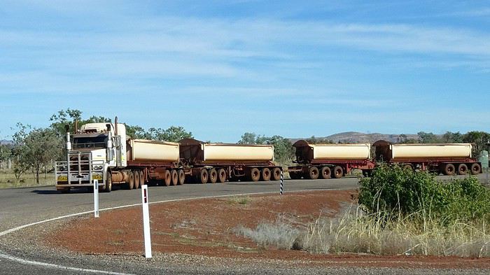
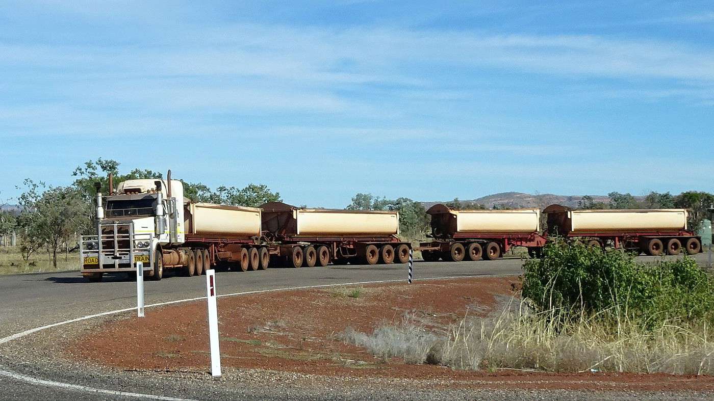
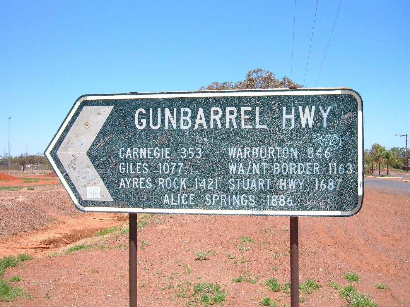
A few dozen kilometers later, we arrive at an intersection marked by a huge rest area and parking lot. This is where the famous Road Trains (trucks pulling up to four trailers) are formed, crisscrossing and supplying the most remote corners of the state. It’s also the junction between the Victoria Highway and the Great Northern Highway, the country’s longest road (connecting Perth to Wyndham, 3,200 km). This mainly two-lane road, whose construction began in the early 1940s, wasn’t fully paved until 1986.

Fun fact: the Great Northern Highway practically starts at the end of our street, and for decades, one of my dreams (among many!) was to reach its other end. Just over fifty kilometers left before discovering ‘the end of the road.’ However, I still dream of traveling its entire length.

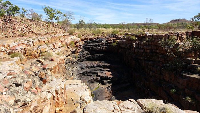
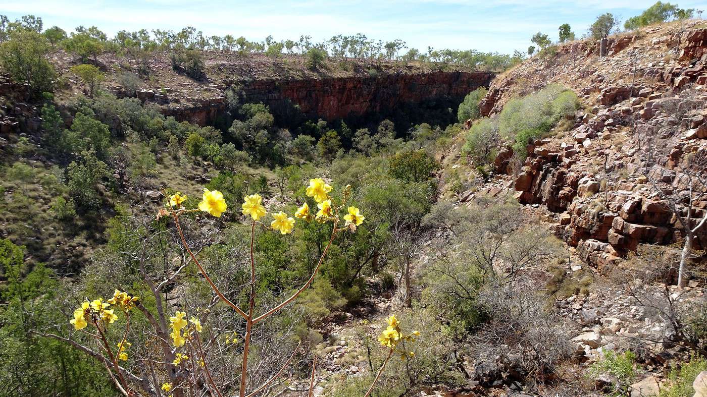
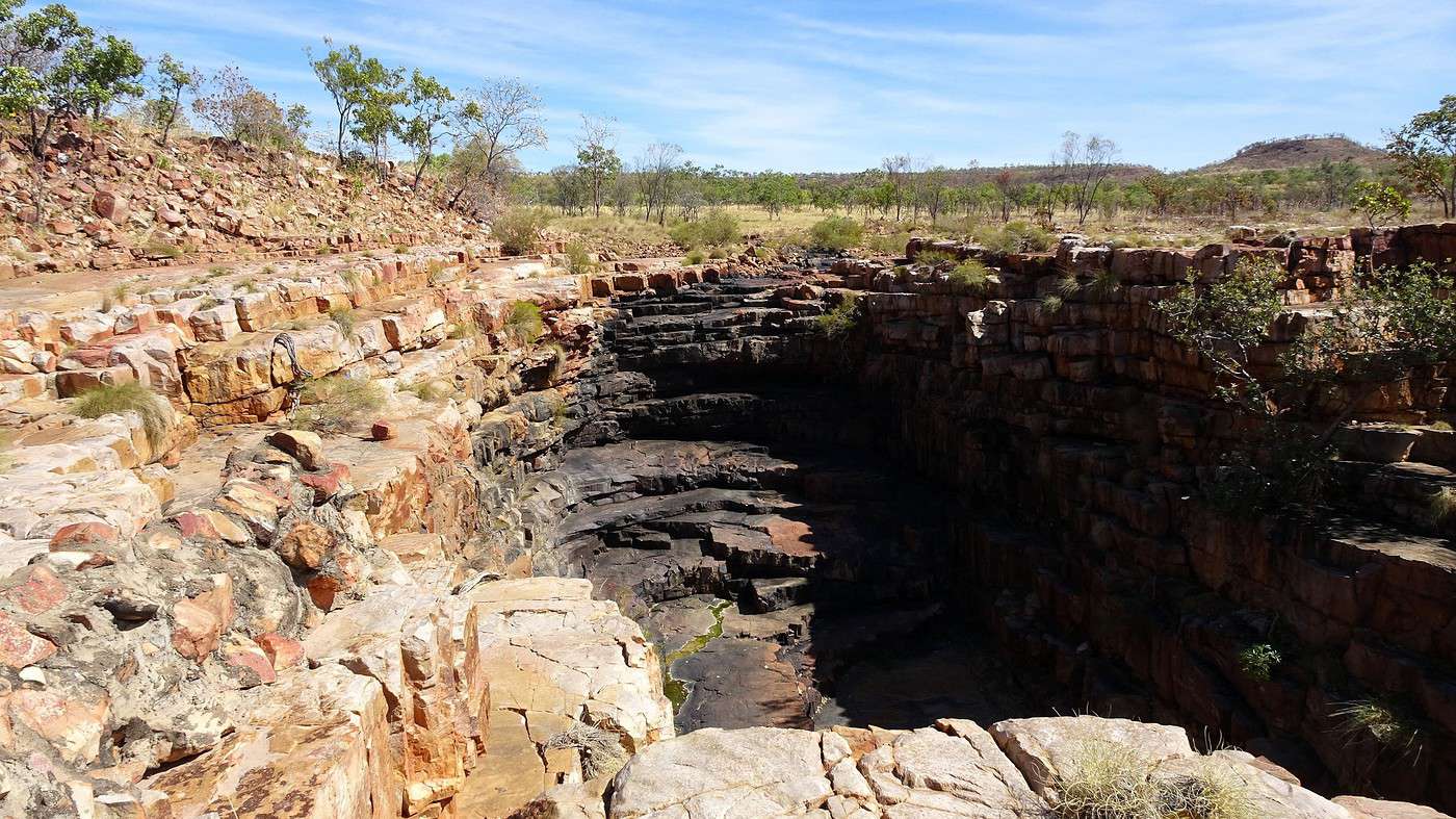
Another stop to check out another natural site called The Grotto, located a few kilometers from the main road. While this long, narrow canyon is very popular during the wet season, today we have the place all to ourselves. Indeed, who would be crazy enough to walk around in this scorching heat just to see that the normally magnificent waterfalls are on a break? Us, of course! After admiring this natural chasm from above and trying to spot the well-hidden water basin, all that’s left is to find the 144 steps that lead down to the bottom, some 120 meters below. The regular calls of a cuckoo echoing off the steep walls of the grotto set the rhythm for our short descent. At the bottom, we discover a jumble of fallen rocks covered in vegetation and trees, and just at the foot of a narrow red and black cliff, we see there’s still plenty of stagnant water—definitely not inviting for a swim.


On the other hand, we enjoy the coolness and the calm. A honey scent floats in the air—it must come from those shrubs growing along the invisible stream. Looking up, we’re surprised to see baobabs growing precariously on the rocky slopes. The climb back up is less treacherous, and we quickly return to the surface and the heat. We push our madness further by taking a short walk to the spot where the water (when there is any!) plunges into the abyss—it’s also the best spot for a full view of the canyon.

Thanks to the AC, cranked up as soon as we get back in the car, we quickly regain our normal color. The road follows a final valley before crossing vast floodplains (flood-prone plains) that announce Wyndham.


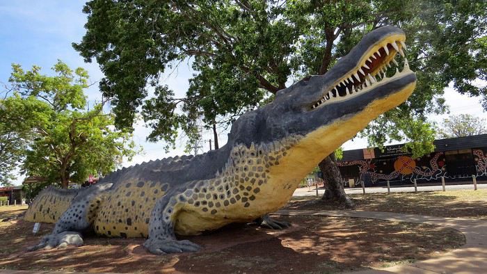
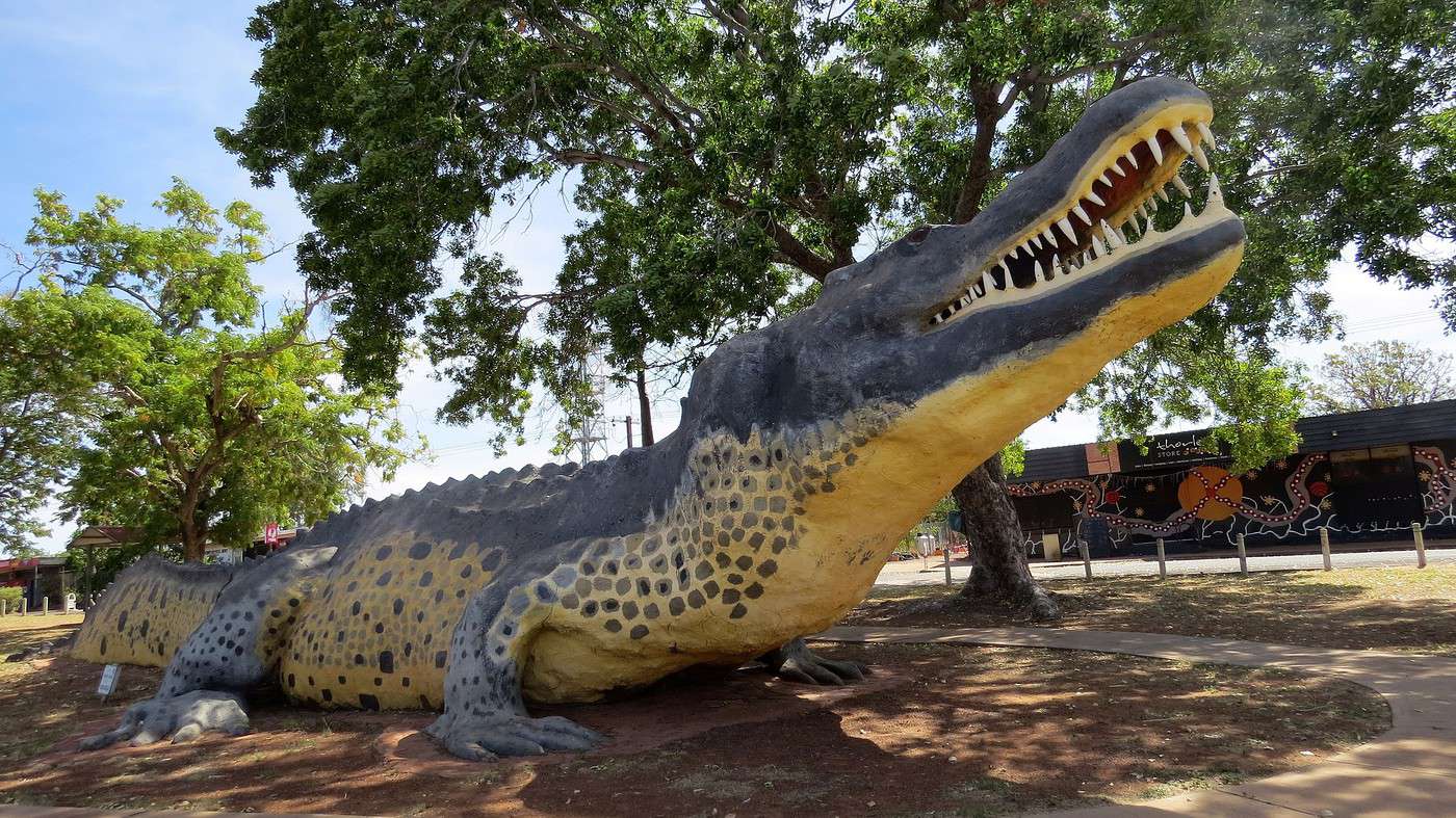
A few run-down shacks later, and we’re already in front of ‘The Big Crocodile,’ an enormous 18-meter concrete statue that lets this tiny outpost of 800 souls make it onto Australia’s Big Things list. A dozen deserted streets that reek of boredom and abandonment. On the dusty main street, only the grocery store, gas station, and a café are open.


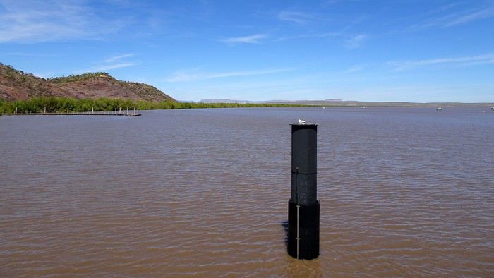
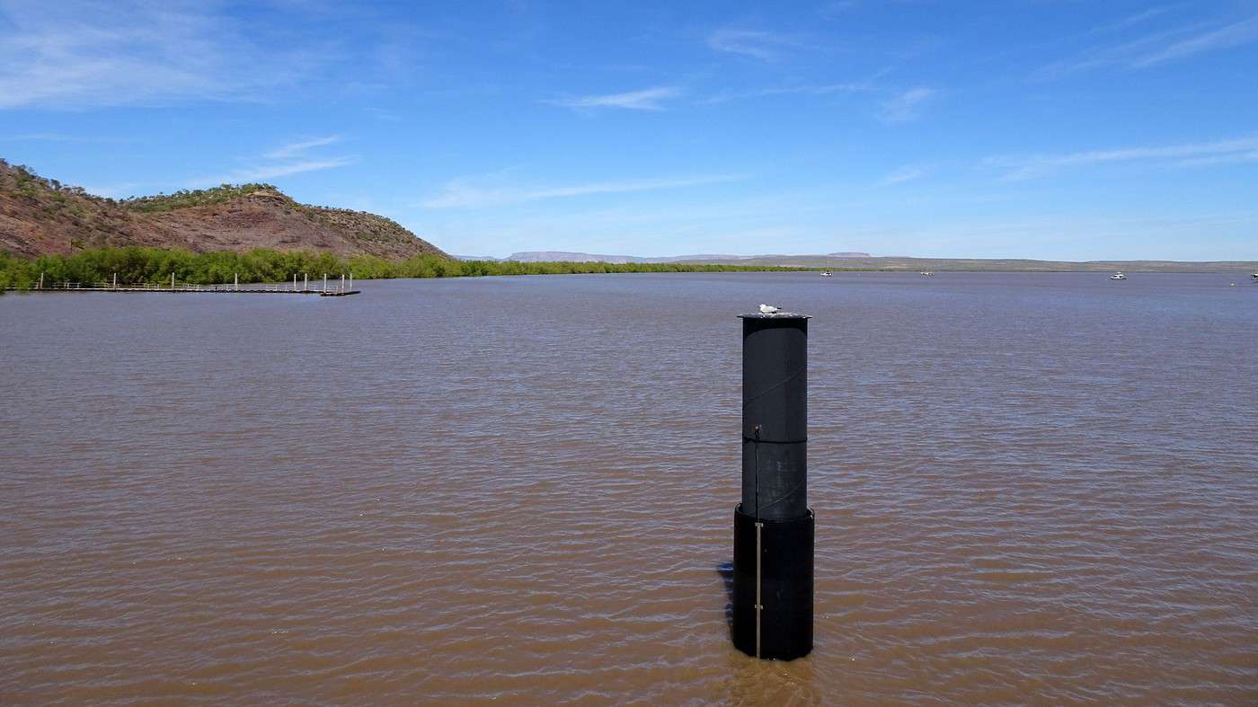
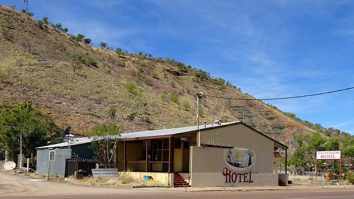
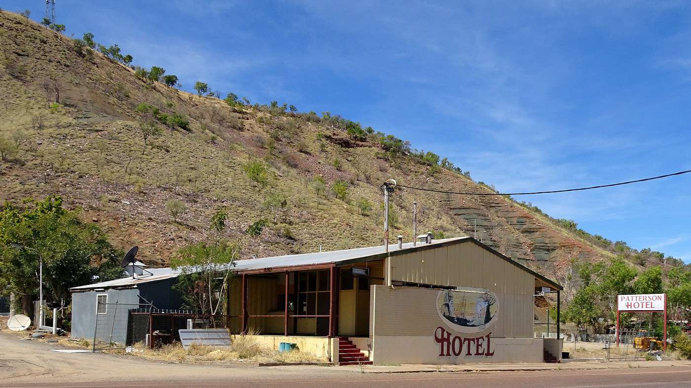
We push on to the ‘port,’ five kilometers further, skirting The Bastion, a rocky outcrop overlooking the small town on one side and the shores of the Cambridge Gulf, a massive sea inlet cutting into the land, on the other. This is also the historic part of Wyndham, where all that remains is a row of old, dilapidated cottages, a closed hotel (Australian for pub), empty sheds, and a small museum—also closed—surrounded by a scraggly garden where old agricultural machines and other relics rust. Panels illustrated with old photographs recount the town’s history.


We learn that the entire region was once home to the Doolboong community and that several historic sites (mainly rock paintings) are accessible in the area. The first European visitor was apparently a certain Philip Parker King, who in 1819 explored the coast in search of a river penetrating the continent’s interior. Finding no drinkable water, he turned back.

A new expedition in 1886 led to the establishment of a camp, which quickly prospered thanks to the discovery of gold at Halls Creek (350 km to the south) and the ensuing gold rush. As Wyndham was the closest access point, over 5,000 miners arrived to try their luck. Old photos show a bustling wharf, rows of tents, a few wooden houses, shops, and even a couple of taverns. But two years later, the rush ended, and Wyndham became a simple supply point for the few pastoralists (farmers, ranchers) who had settled in the area.

In 1913, the government decided to boost the local economy by building a slaughterhouse and cannery. This would be the only significant economic activity until 1985, the year the factories closed for good (now entirely dismantled, hence the many vacant lots today).

In 1942, Wyndham made headlines across Australia when Japanese planes bombed the town four times.

In the early 1960s, Wyndham briefly became an important logistics hub during the construction of the dam on the Ord River, but as soon as Kununurra was established, Wyndham declined again. Today, Wyndham is just a tiny river port where iron ore from nearby mines is loaded, brought in by convoys of road trains.

A few steps on the jetty let us take in the enormity of this sea inlet. A few small motorboats are anchored further up, as fishing is the main leisure activity in the area—and there’s surely plenty to catch… as long as you never forget the crocodiles! A group of young Aboriginal girls (all girls!) sits in the scorching sun, the eldest showing them how to untangle their fishing lines and cast them into the current. Further on, two men launch their motorboat into the water—they’ve got the full fisherman’s kit and are loading an incredible array of fishing rods. This is serious business!

To the Top End's Western Edge

Xrctn · 2020-09-15

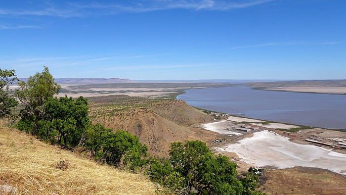
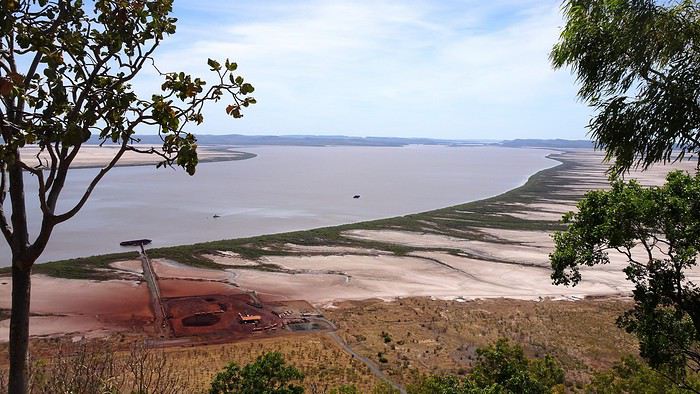
We’ve reached the end of the road. Time to turn back toward the center of Wyndham, still as quiet as ever. We’re heading to a café that serves Crocodile Pies and Barramundi Pies (AU$10!). Since the croc pies are still in the oven, we settle for the barramundi ones, which we take to the town’s other tourist attraction: The Five Rivers Lookout. Against all odds, the fish pastry turns out to be delicious. And the panoramic view from the top of the Bastion isn’t bad either.


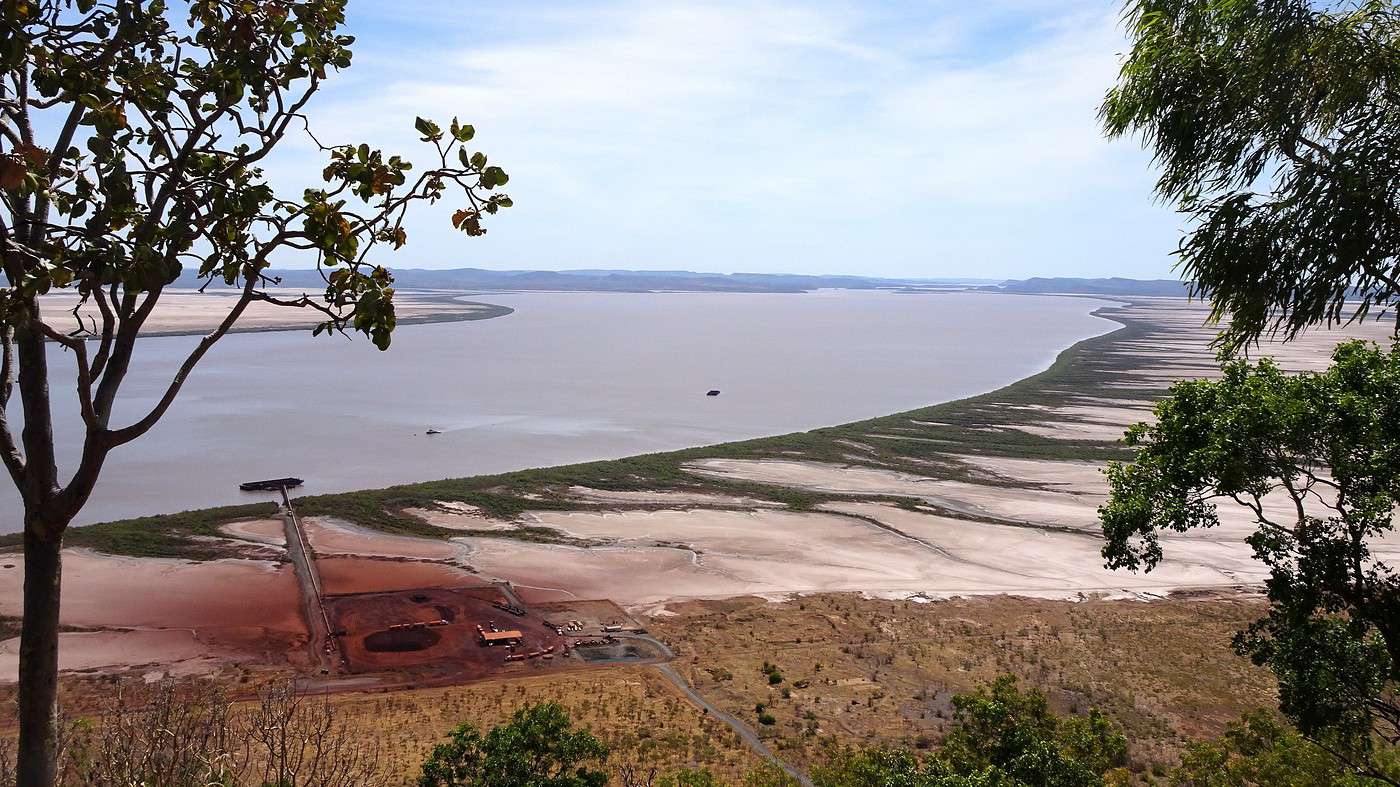
We’ll have to come back during the wet season, though, because the five rivers in question (for info: Durack, Pentecost, King, Forrest, and King) aren’t exactly thriving—you can barely make them out among the vast mudflats. The area is known for its massive tides. From the lookout, you can’t see the Timor Sea, which lies over 80 kilometers away and is hidden by several islands in the Cambridge Gulf.


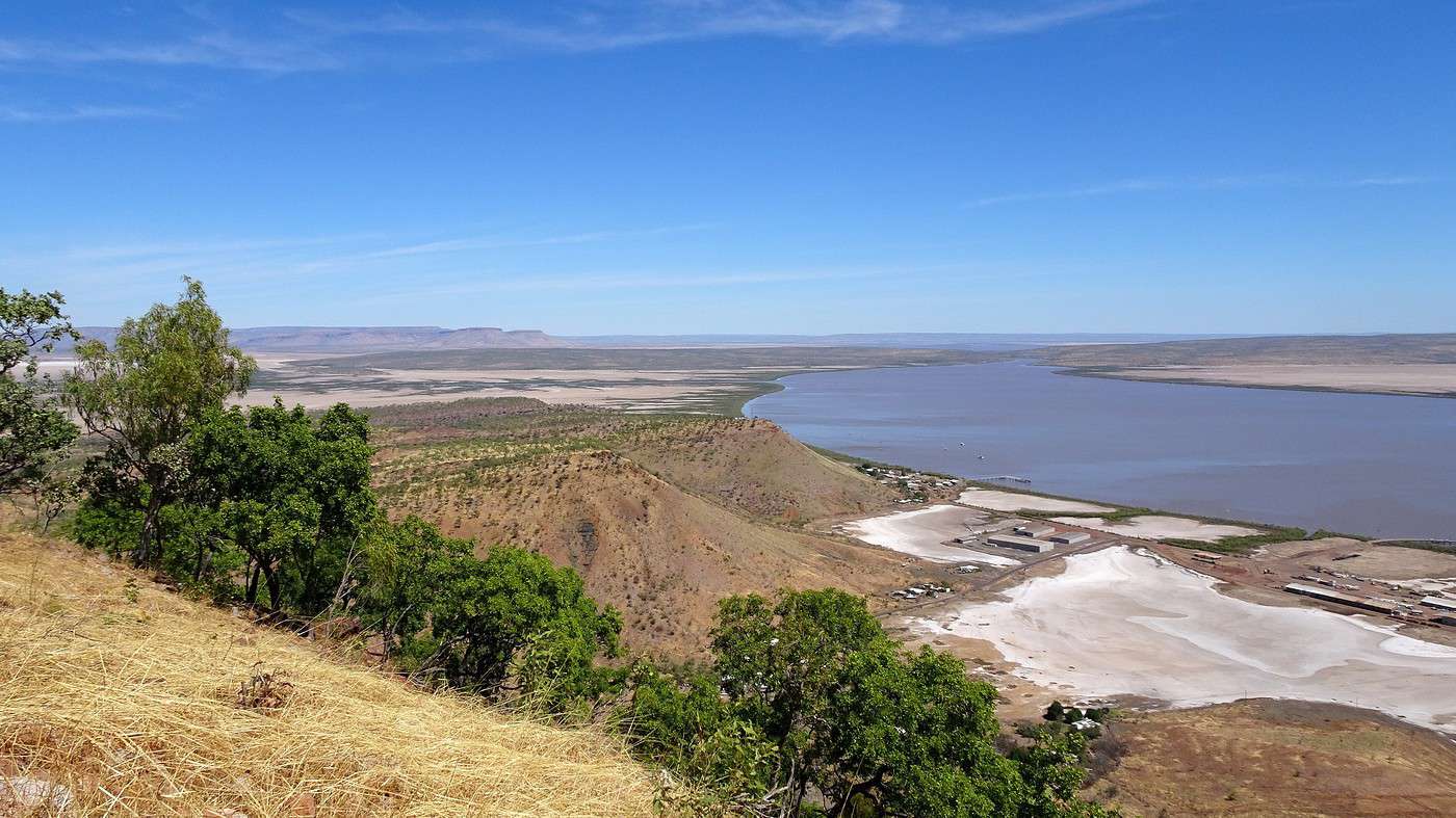
But the view of the opposite bank is stunning—it marks the start of a barely explored and practically inaccessible region: The Last Frontier. Bush, rocks, rivers, and along the coast, two spots that couldn’t be more different: Beverley River Lodge, a luxury resort accessible only by seaplane, and Kalumburu, an Aboriginal community reachable by a 500-kilometer detour via the south. .

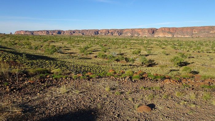
To the south, the arm of the sea disappears into more mudflats and expanses of bush, dominated in the distance by the towering red cliffs of the Cockburn Ranges. Just below, the small port facilities sit between swamps and empty lots. Yeah, this really is the middle of nowhere!

Time to test out our trusty 4x4. We’re heading to the Boab Tree Prison, near the small Moochalabra Dam that supplies drinking water to the town and surrounding Aboriginal communities.

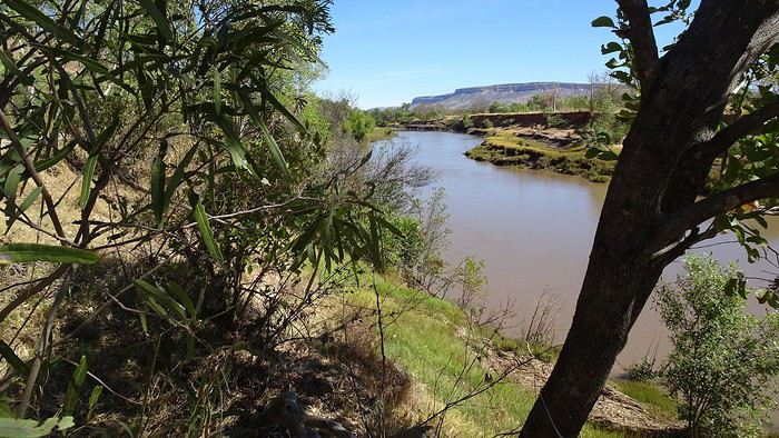
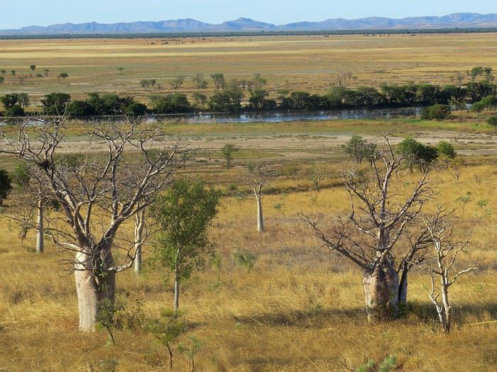
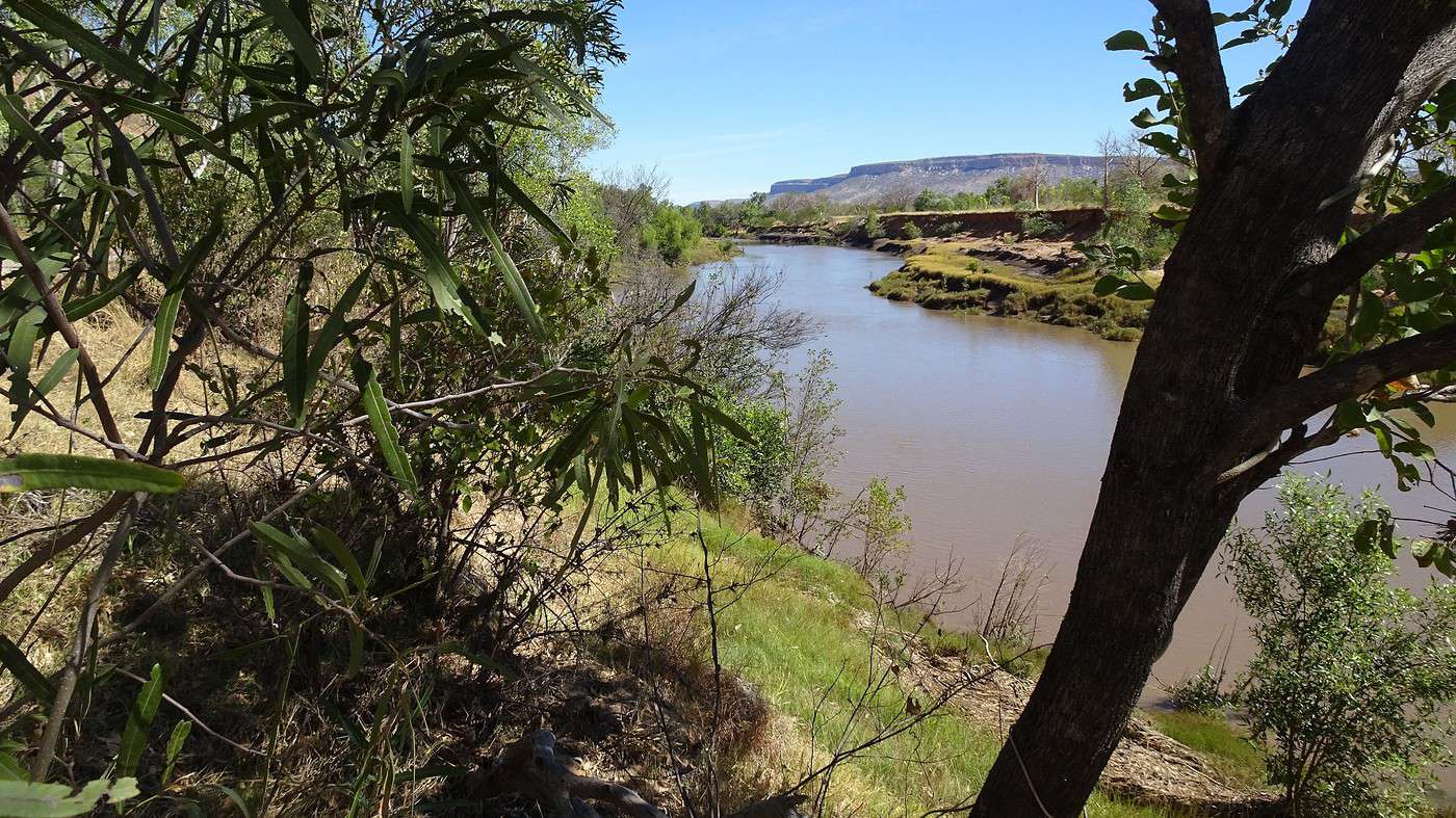
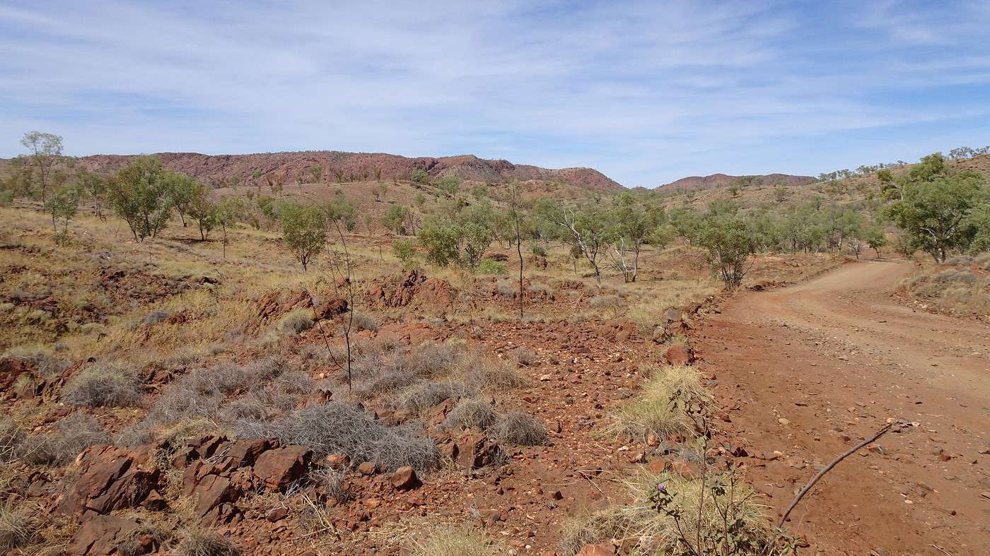
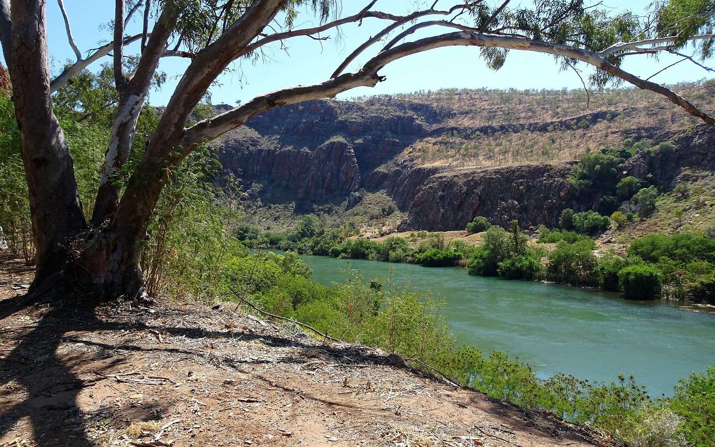
The track starts with a crossing of a vast swamp that turns into a salt lake in summer, then cuts through wide stretches of spinifex dotted with baobabs before following the King River, which you can glimpse now and then through the thick vegetation.


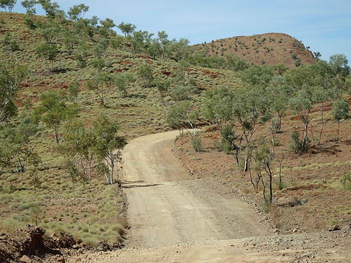
The track quickly deteriorates into an endless corrugated mess, punctuated by frequent potholes and rocky patches. The bumps are intense because, not knowing the road, I can’t drive fast enough to ‘float’ over the terrible undulations. Somehow, some of the fine gray dust cloud trailing behind the car manages to sneak inside. Stops are frequent—either to get a closer look at the river or to photograph the flora.

Finally, we reach the small Moochalabra Dam, but access is blocked by a fence. The thought of taking a dip had crossed my mind for a second, but reason—or rather the image of that Big Crocodile at the entrance to Wyndham—quickly changed my mind.

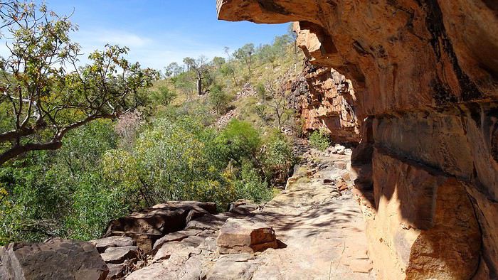
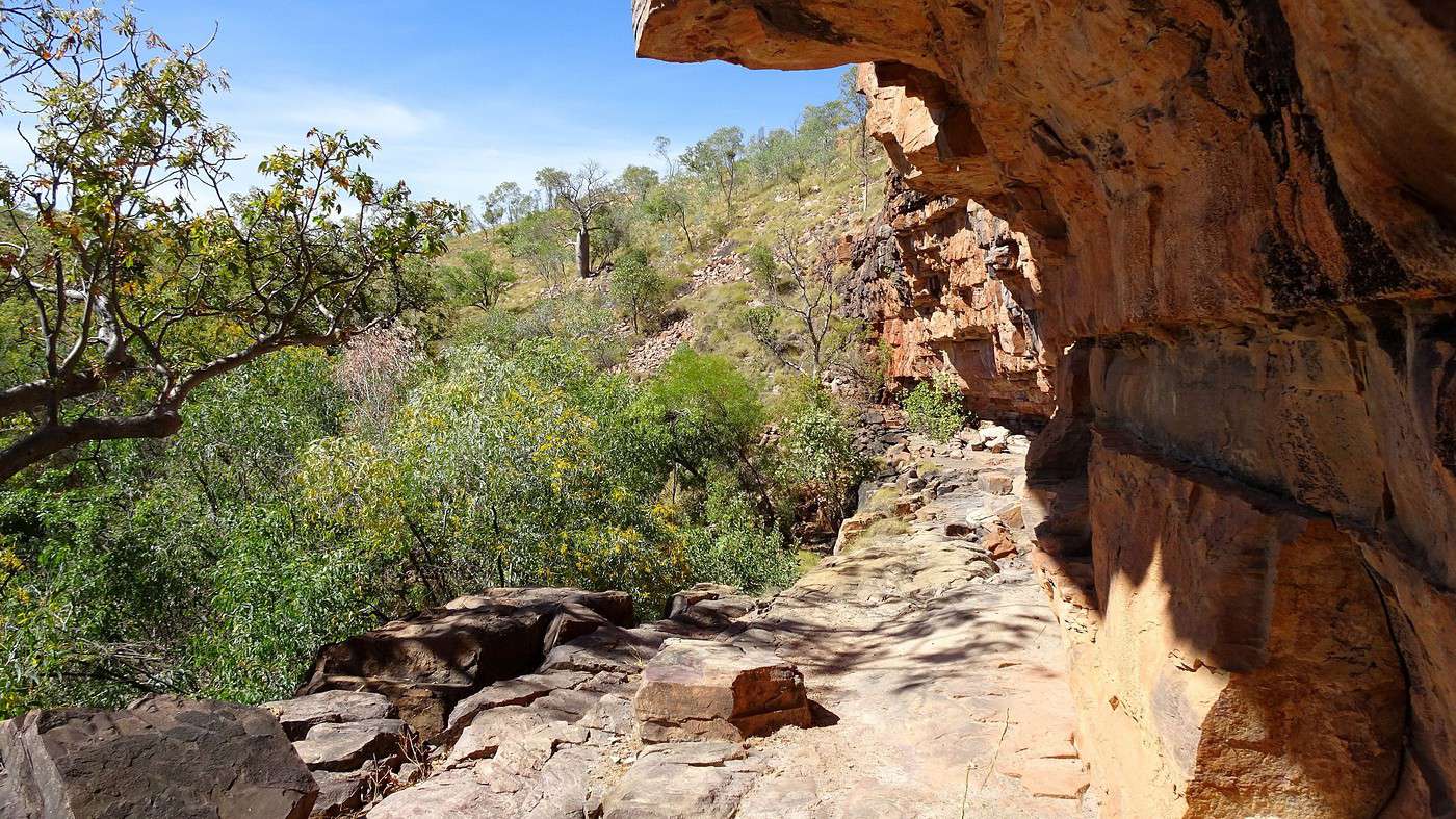
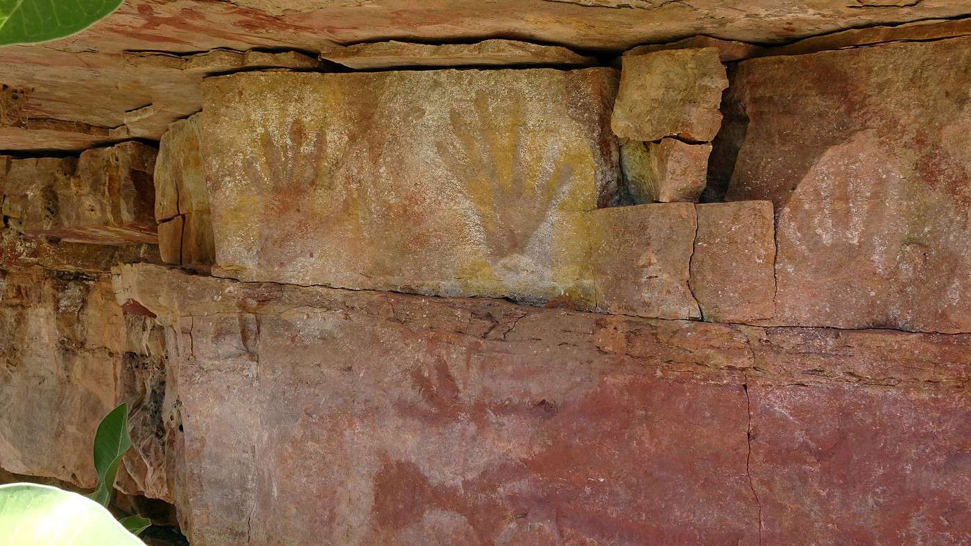
Nearby, there’s also a rock art site—if we can find it. We turn it into a scavenger hunt: who’ll spot the first clues? Broken branches and footprints in the sand lead us to the base of a small cliff, where a natural gallery stretches about fifty meters up a dozen meters above us. The spot is similar to the sites we’d seen in Kakadu, and I’m sure the art is there. A few strategically placed rocks let us reach the gallery and small caves without much effort.


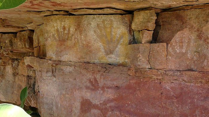
First, a series of handprints, then sketches of animals appear on the walls, which are also covered in insect nests. Watch out for spiderwebs and their architects! While the paintings aren’t exceptionally detailed, they’re still incredible—dating back thousands of years and telling stories meaningful to the Aboriginal people who created them. As is often the case, these carvings and paintings served as signs for other clans about the kind of food, game, or fish found in the area. Unfortunately, water seepage and fires have damaged part of the site.

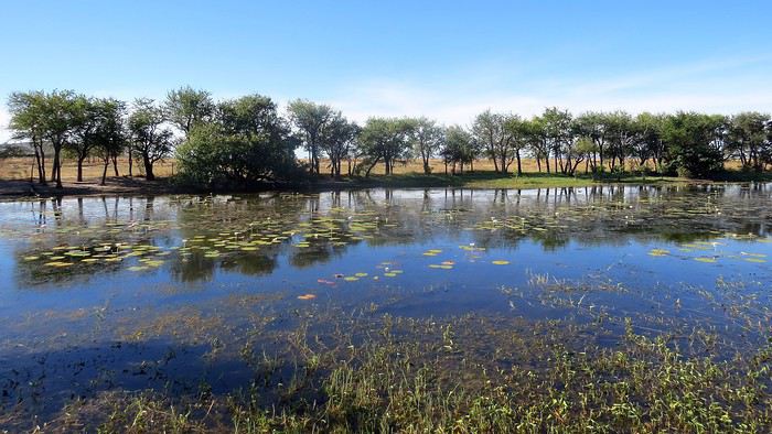
On our way back to the car, we spot a billabong (a swampy area near a river) covered in water lilies, and two wallabies standing still, watching us before bounding off into the bushes.

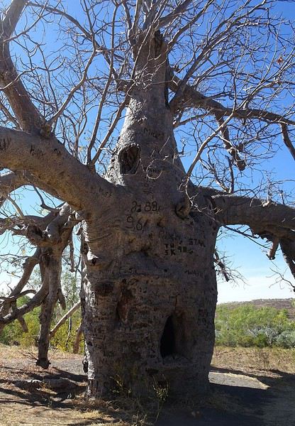
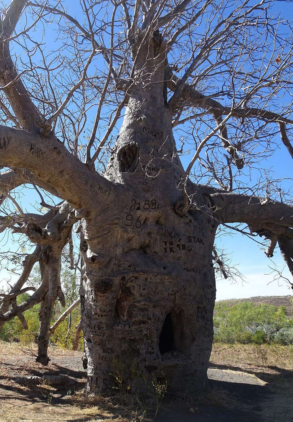
A few more kilometers of bumpy driving, and there it is—the famous baobab turned into a prison in the 1890s! This venerable giant is imposing. Its massive trunk is covered in carved initials and inscriptions, and at about a meter off the ground, there’s a hole big enough for a person to crawl through.


Police patrolling to arrest young Aboriginal people who’d killed livestock (it’s easier to kill a sheep or a cow than a kangaroo!) had noticed that holes in the high branches indicated the tree was hollow. All they had to do was drill a hole… and voilà! They could ‘lock up’ their prisoner(s) and spend a peaceful night before continuing to Wyndham. This makeshift prison was called Hillgrove Lockup, proof it was used often.

We push on down the rough track for a few more kilometers, hoping to reach the legendary Gibb River Road (which connects Derby to Wyndham) by skirting the Cockburn Ranges, but we have to turn back due to time—just like yesterday, night falls fast. We head back to Wyndham, still as empty and depressing as ever.

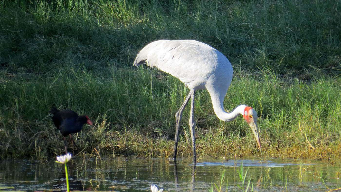
Just outside town, another track (this time to the right) awaits. It leads to the Parry Lagoons, specifically the Marglu Billabong, known for its wide variety of birds.

Here, no brutal corrugations or sharp turns—just a few sandy patches that occasionally throw the 4x4 off course. The road crosses a flat expanse surrounded by distant hills. We approach a spot where the vegetation is denser and greener—we’ve arrived.


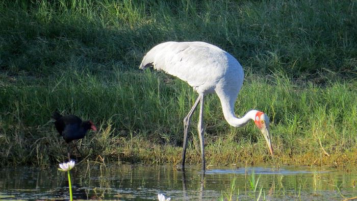
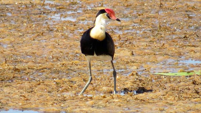
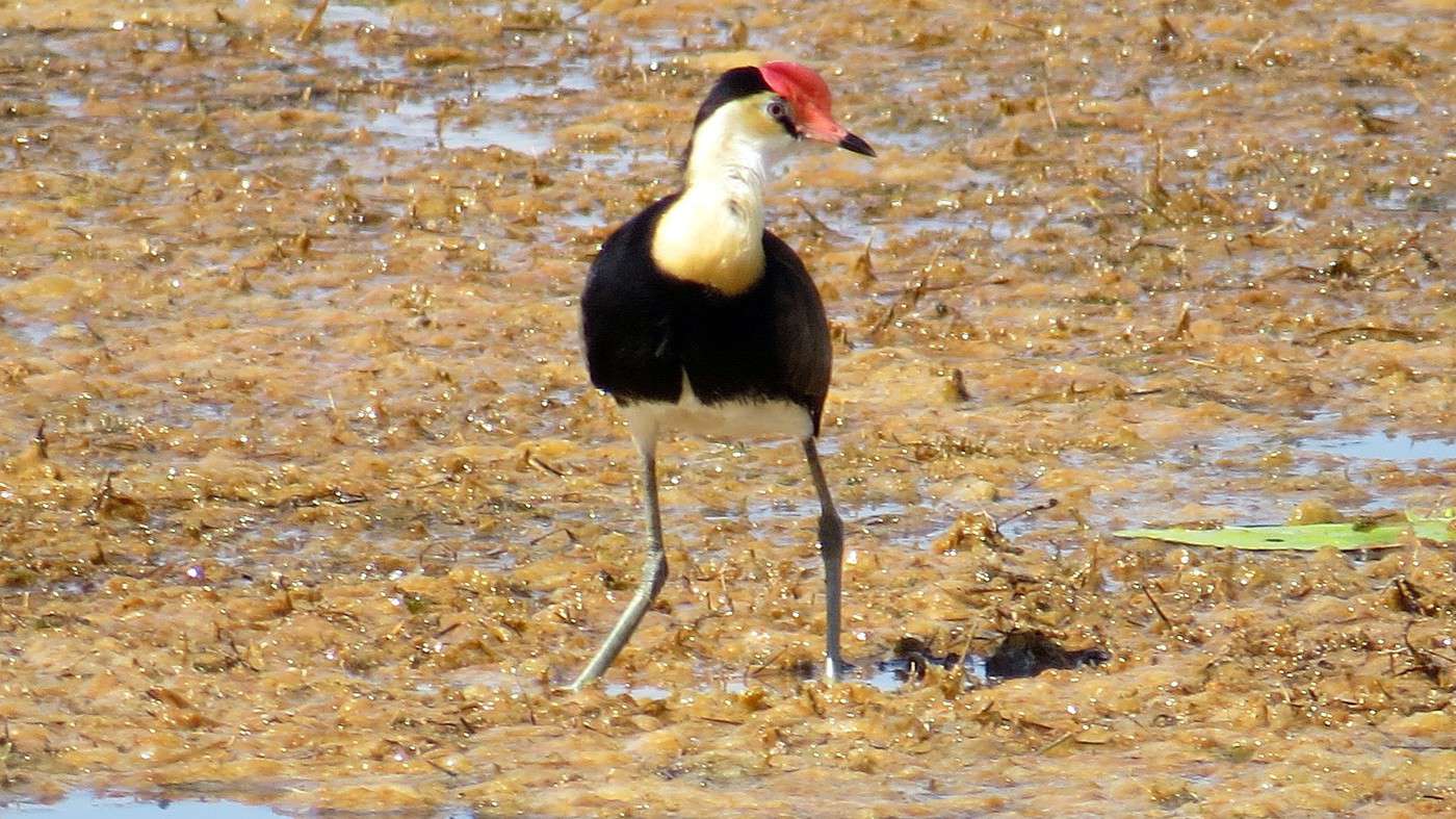
Boardwalks and camouflaged huts let you get up close to observe the different bird species. While we’re not biologists, we’re even less ornithologists—we can’t put a name to the many birds we see, even when comparing them to the well-illustrated lists posted on the hut walls. Silence and patience, kind of like fishing, I imagine.

We envy a young Italian couple equipped with super-zoom lenses and high-end cameras, who we end up chatting with for a while. They *are* biologists, but like us, they don’t know much about birds. They tell us they arrived in Australia last September on a Working Holiday visa and got stuck in WA because of Covid-19. Having saved up well, they didn’t hesitate to splurge on professional gear, which, they tell us, is much cheaper here than in Italy. « In a month, we’ll be back home. » they say sadly. Now we don’t envy them at all!

The light, shadows, and contrasts are perfect now, but that also means we shouldn’t dawdle if we want to get back before dark and avoid kangaroos on the road.

Just a quick detour to Telegraph Hill to see the ruins of an old telegraph station (!) and farm, built atop an isolated hill overlooking the swamps, plains, and hills turning red before our eyes. A beautiful panorama, likely the same one Aboriginal people gazed upon thousands of years ago.


More bumps before we hit the smooth asphalt of the main road and rediscover this morning’s landscapes—from the opposite direction.

We arrive in Kununurra just in time to catch the sunset… well, almost. A few hiccups finding the right road—the one leading to Kelly’s Knob (a small hill on the edge of town)—mean we’re a little late. Still, we see the sun dip behind a distant mountain range, but with a cloudless sky, it’s a bit of a non-event.

The evening wraps up at Pump House, the town’s ‘in’ restaurant. The setting is surprising—it’s the old pumping station building, and much of the machinery is still there. The tables are placed wherever there was space. No social distancing issues here!

A lovely way to end this first beautiful day of vacation.

To the Top West End

Xrctn · 2020-09-16

Sunday. 7:30 AM. Dawn has been gone for a while, but there’s still a clear improvement over yesterday. Time to dip the croissants in coffee (found yesterday at the local Coles and just as good as in Paris!), prepare the thermoses, load the car without forgetting the water bottles, fill up the tank, and buy a road map (for my collection!), and we’re finally on the road—the same one as yesterday until the highways intersection and the parking lot for road trains.


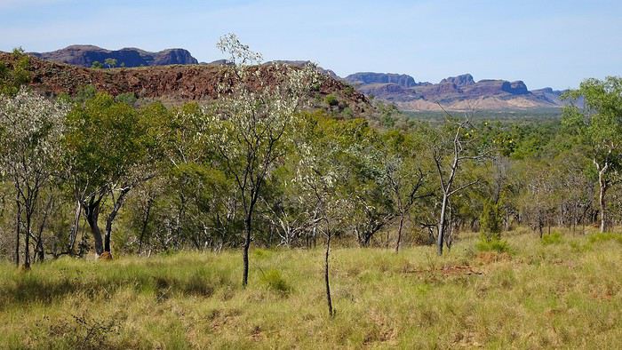
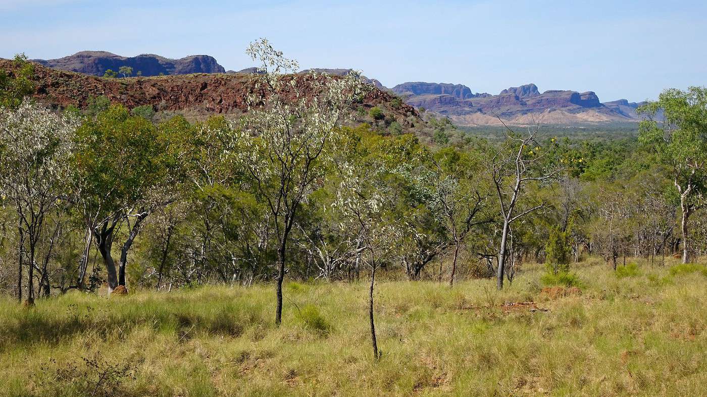
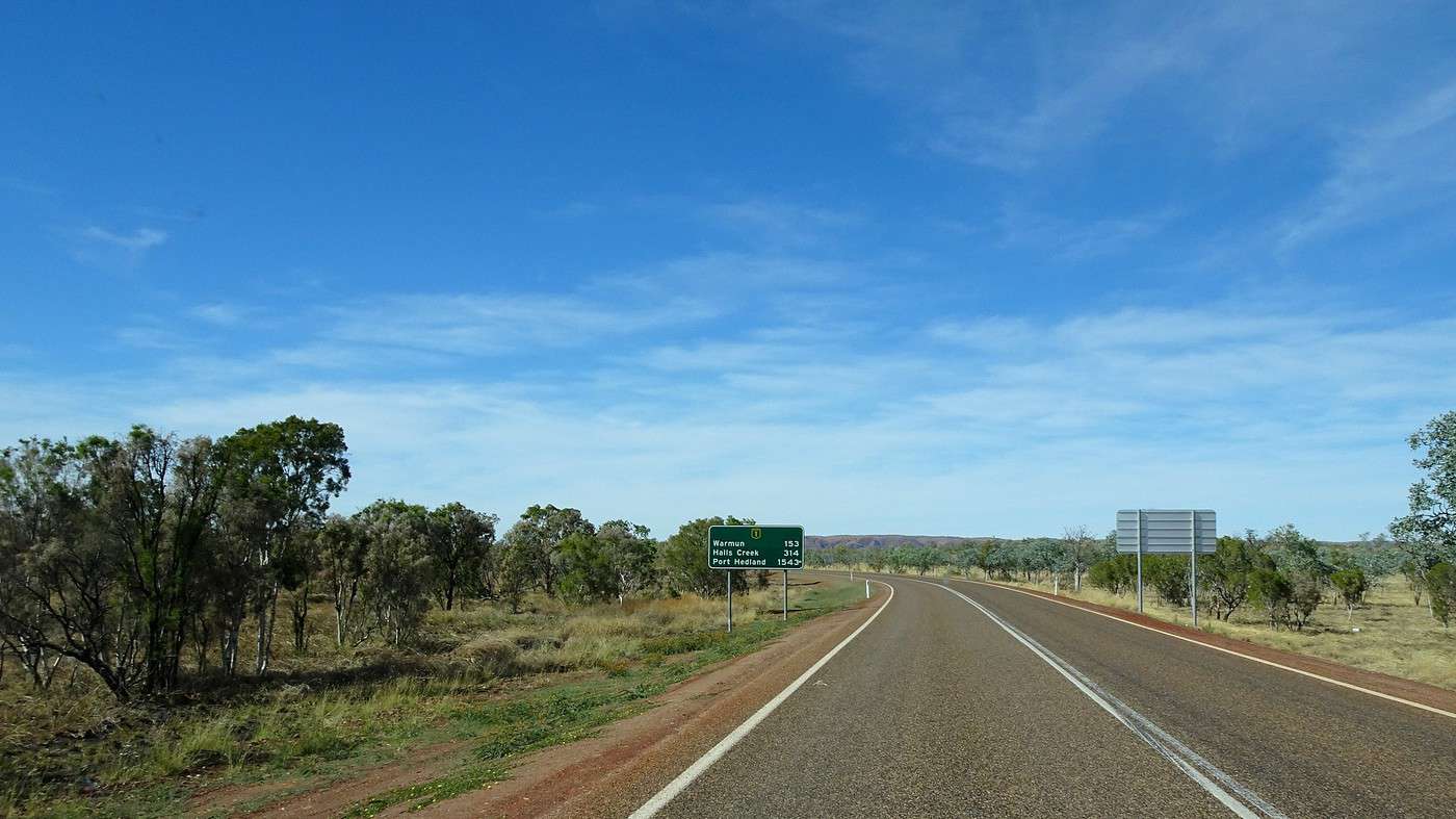
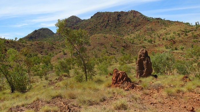
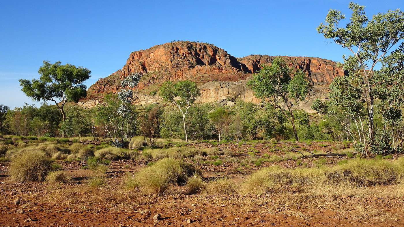
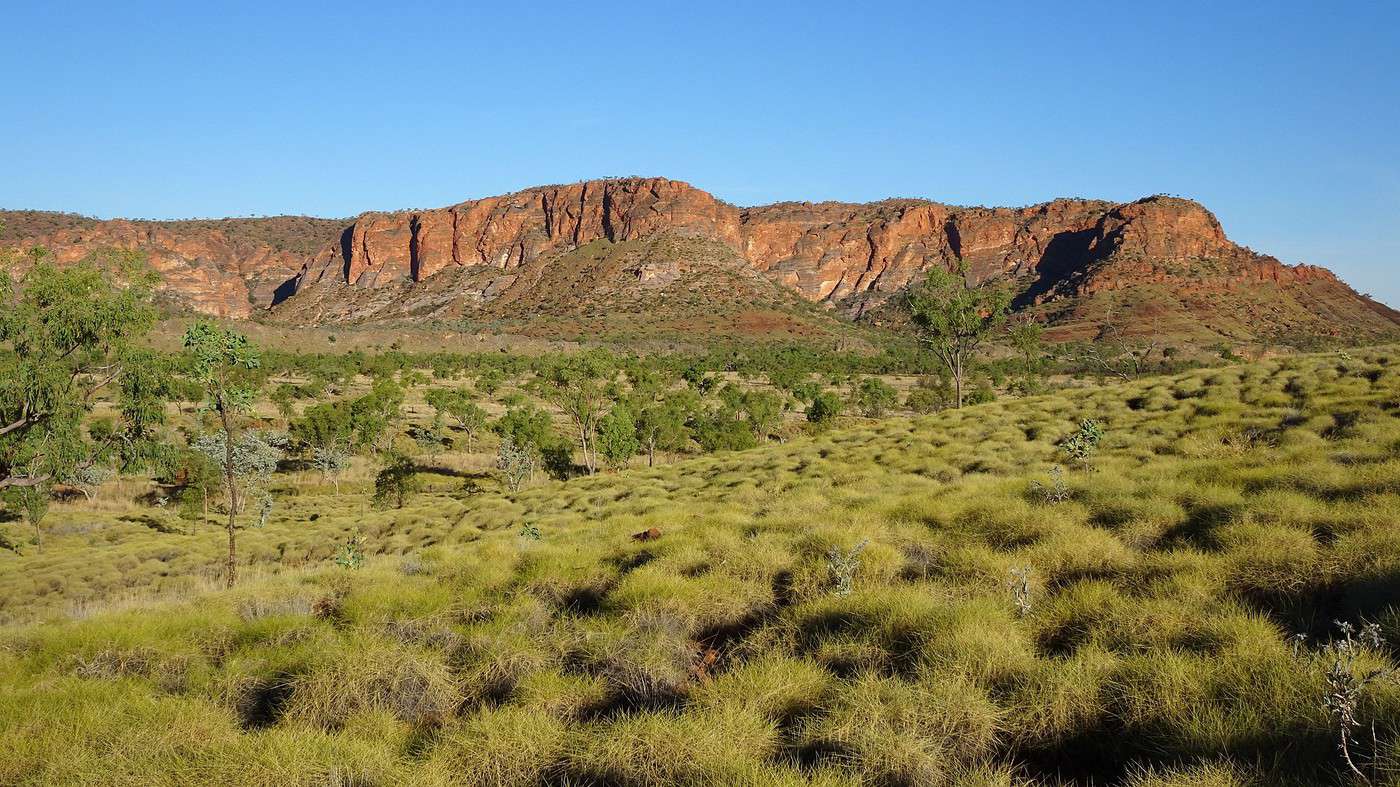
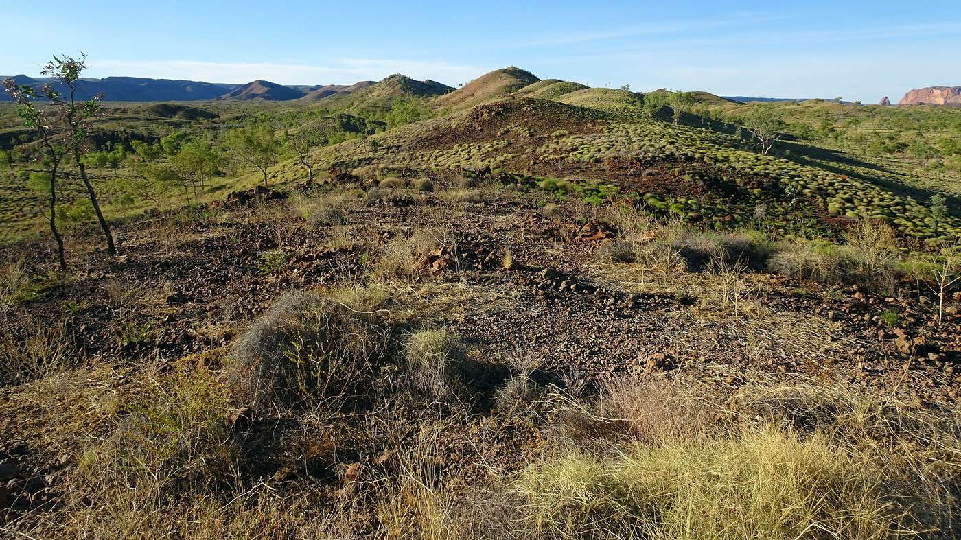
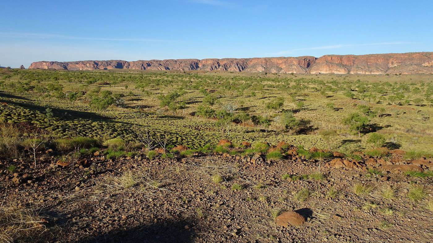
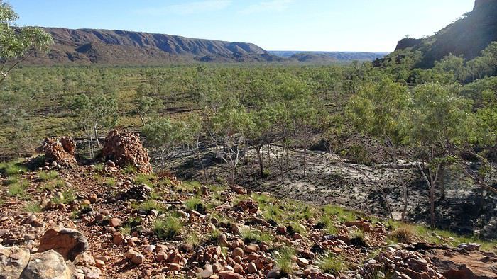
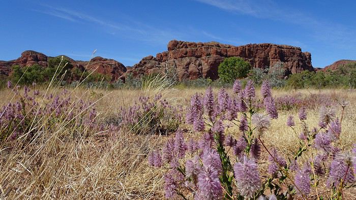
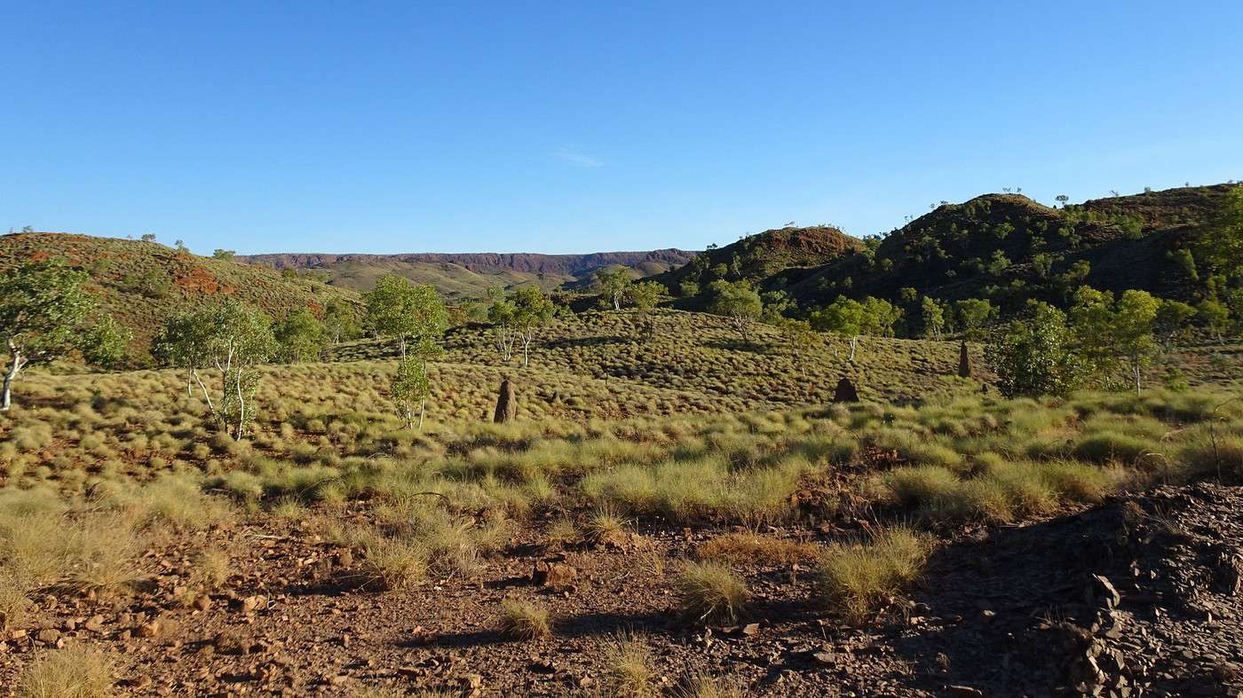
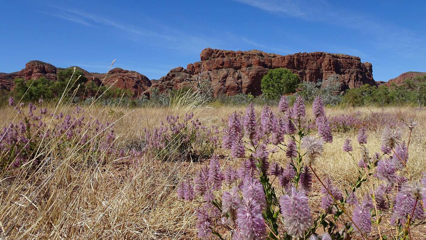
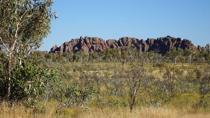
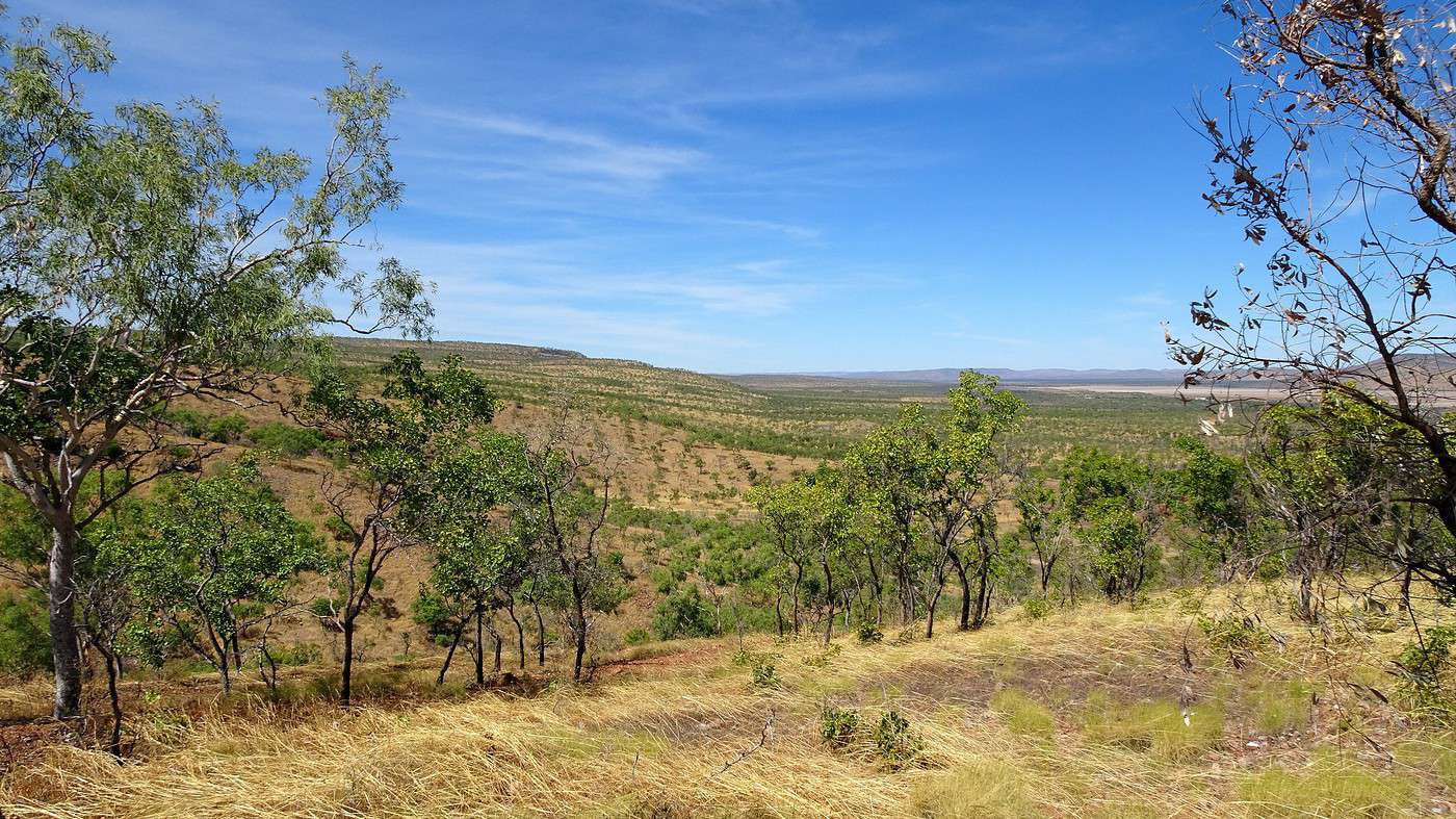
From there, we head due south toward Bungle Bungles National Park (now called Purnululu National Park), over 200 kilometers away. The landscapes are the same as yesterday but even more vast. The bush in all its glory—immense, flat with a few undulations, and here and there, mini mountain ranges with flattened peaks. Sparse vegetation with colors ranging from the green of eucalyptus to the yellow of spinifex, along with the ochre of the earth, the deep blue of the sky, the grays of termite mounds and baobabs, the reds of the rock, the white of dried riverbed sand, and the purple of wildflowers. It’s a feast for the eyes.

We rack up the kilometers without feeling the slightest monotony—a true case of ‘the more it stays the same, the more it changes,’ an expression that’s hard to grasp but perfectly fitting for the landscape around us.

The road is flawless and completely deserted—we’ll only cross paths with two road trains and nine vehicles, all towing caravans. The ‘grey nomads’ (retired wanderers) are out and about.


The feeling of solitude and emptiness is even more striking since, between Wyndham and Halls Creek (350 km), there’s only one tiny hamlet, two roadhouses (gas stations), and a few small Aboriginal communities that are inaccessible. We’ve just passed Doon Doon, the first roadhouse, which also serves as a cafeteria, campsite, and garage. A few prefab units can also be used for lodging—for desperate travelers or workers on the move.

On my brand-new map (well, before my co-driver unfolded it and tried to refold it, ugh), the towns, marked by black dots, look like European megacities, and the many rivers, represented by wide blue lines, take on the appearance of impressive waterways. This is especially true for the Wilson and Bow Rivers, which meet where we stop for ‘morning tea.’

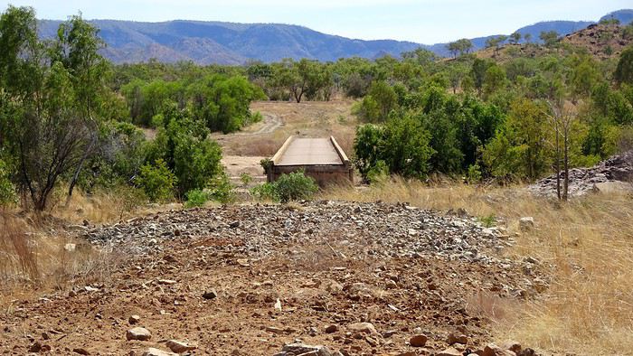
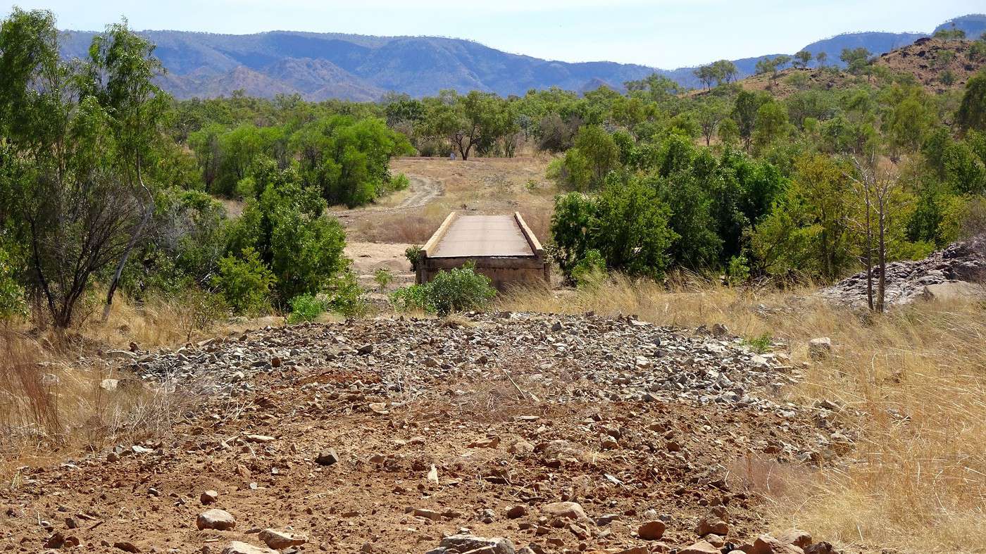
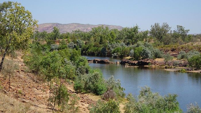
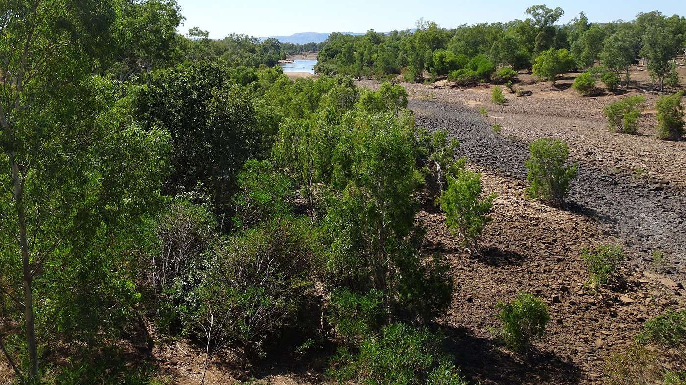
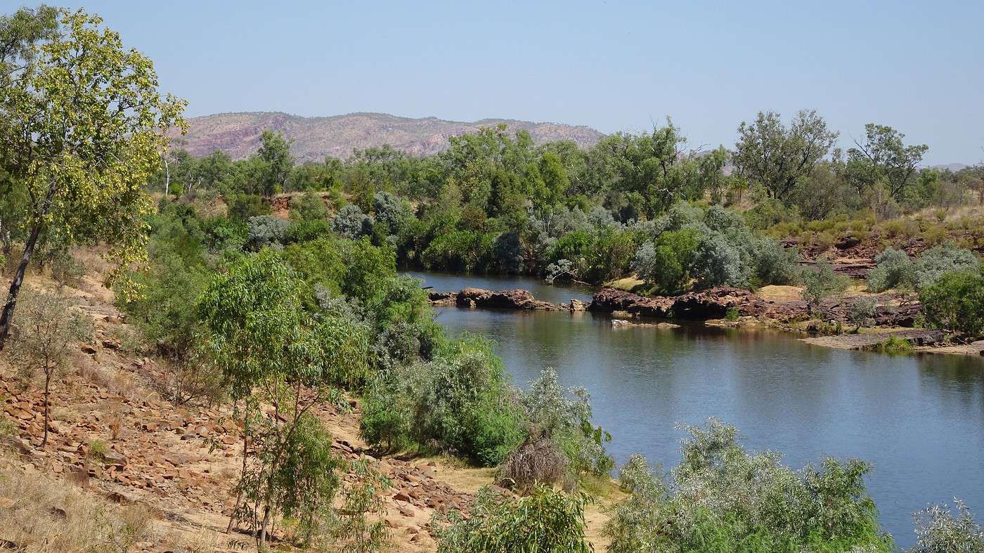
Reality is quite different, though. While the brand-new bridge is indeed large, especially compared to the old one still standing, the river itself is nowhere to be seen. The wide riverbed is nothing but stones and sand—not even the start or end of a tiny puddle.

It’s hard to imagine that the huge parking lot where we’re standing, despite being far away and elevated, can be completely flooded by these rivers after a cyclone.


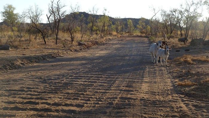
From here, the road conditions worsen. The funds for maintenance haven’t made it this far yet! Narrower and bumpier, the bridges are reduced to a single lane. More dangerous are the animals that get a little too close to the road, like stray cattle or wild horses.

Warmun (formerly Turkey Creek) isn’t very big. Before being a gas station/grocery store/motel, it’s primarily a settlement (a gathering/camp) of several Aboriginal communities, organized in a classic urban model with a few right-angled streets, individual houses, administrative and cultural buildings, and stretching along the Great Northern Highway, behind fences identical to those in any suburb.

At the beginning of the 20th century, as European ranchers gradually settled in the region, tensions between Aboriginal people and pastoralists grew increasingly violent, sometimes escalating into armed conflicts and massacres. The government created two vast cattle stations (stations) to regroup, employ, and assimilate the Indigenous population. In 1901, Turkey Creek was established as a ration depot. These rations were only distributed to Aboriginal people who agreed to settle in the new camps. Others were forced to do so by the police in the following years.

The community is now managed by an officially constituted organization that runs the gas station, motel, and, most importantly, the cultural center and art gallery (both sadly closed due to Covid-19). These valuable resources provide some independence to this community, established in the 1970s and known for its talented artists.

To access the interior of Warmun and its art gallery, you need permission (a phone call is enough), but since we know all Aboriginal communities are currently closed, there’s no point insisting—especially since what little we see from the road doesn’t really encourage a visit.

Another fifty kilometers or so, and finally, the turnoff to the national park and the campsite a little further on. 4x4 mode—let’s go! Ugh, so many bumps!

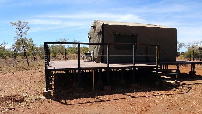
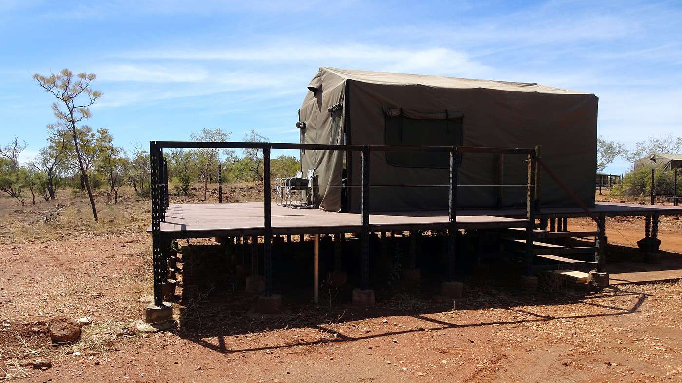
It’s 1:00 PM when we arrive at the campsite reception—a vast, dusty area barely shaded by a few eucalyptus trees. A few permanent buildings, small wooden bungalows, tents set up on raised platforms, and about half a dozen caravans.

Bad news: we’re told that, due to the low number of tourists (still Covid-19!), the restaurant is closed! So, it’s sandwiches and cookies for the next two days (luckily, we had stocked up a bit!).

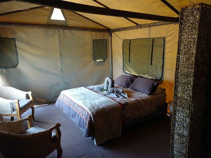
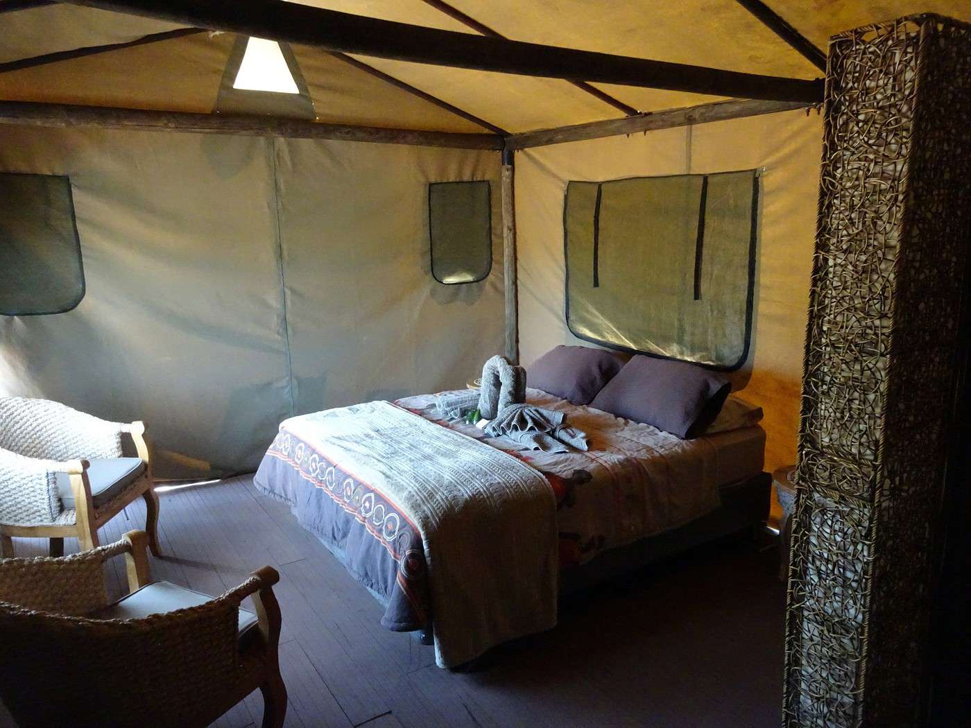
As for the tent—safari-style, almost luxurious—it’s perfect. There’s even a shower inside! We’re going to quickly become fans of glamping.


To the Top of the West End

Xrctn · 2020-09-16

Another nasty surprise: the entrance to the national park is located 53 kilometers away at the end of a hellish track, as we quickly discover.

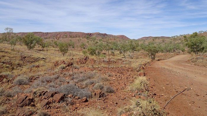
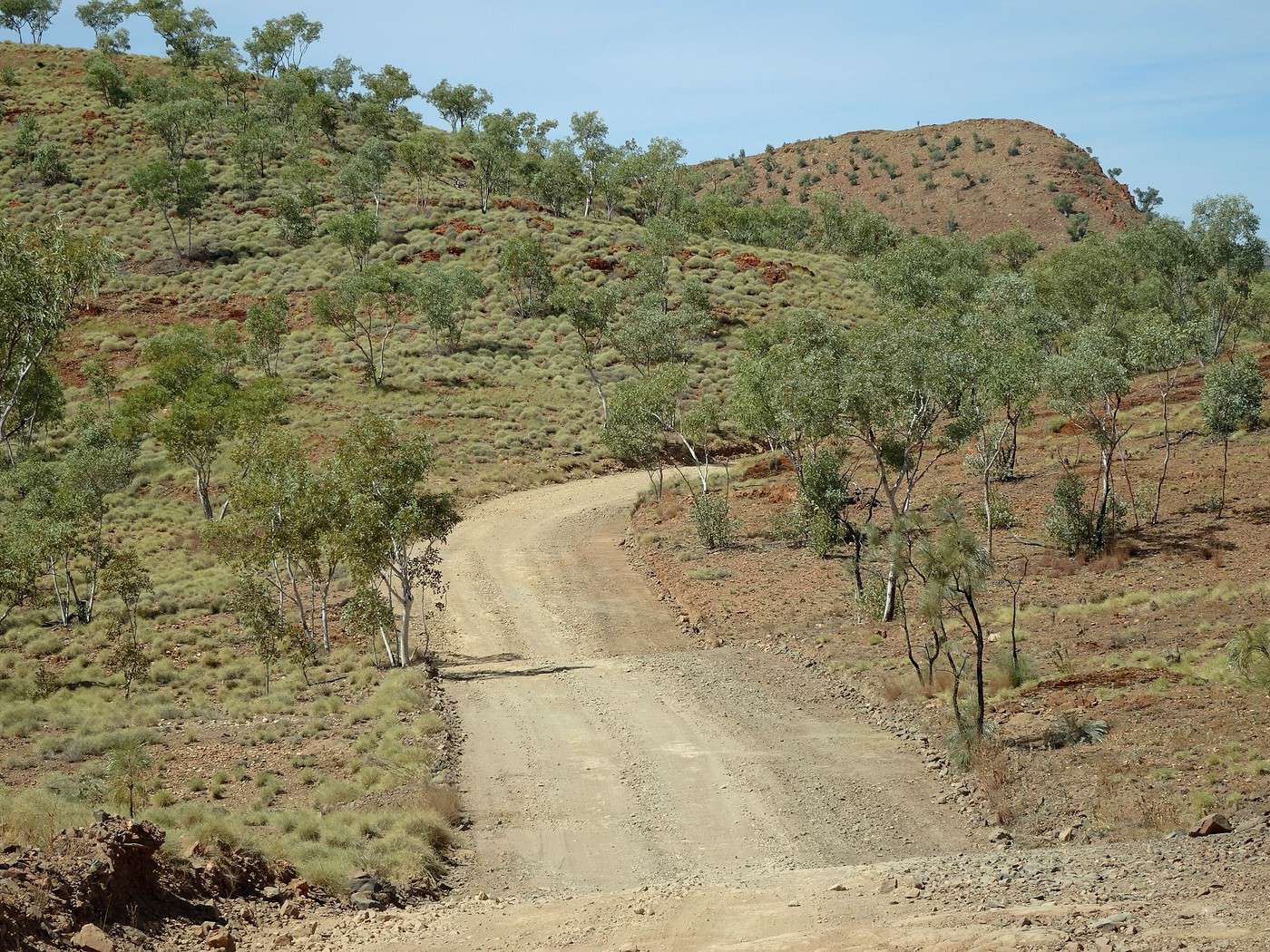
The little bit of track we did yesterday was certainly good practice, but here it’s absolute horror—even the worst roads in Burma or Armenia are more bearable and comfortable than this access route. The track, wide and fortunately deserted, is nothing but a dreadful succession of dusty sections littered with stones and potholes, plus that terrible corrugated iron effect, even more irregular and harsh than yesterday. The numerous rocks and frequent bends make it impossible to pick up speed to soften the jolts. At times, the vibrations are so intense that I expect the car to fall apart entirely, leaving me with just the steering wheel in my hands. Impossible to enjoy the beautiful landscapes we’re driving through—I’m so focused and completely tense that I can already feel a pain in my right shoulder!


While the climbs give a bit of a break (*vibration-wise*), some descents give you cold sweats, especially those ending with stream crossings—fortunately all bone-dry but synonymous with ruts and big rocks.

Nearly two hours to cover the fifty-odd kilometers separating the campsite from the Visitor Centre, where we finally arrive. The small building is closed (*obviously due to Covid-19*), but access to the national park remains open. Forms to fill out and envelopes for the entrance fee in $ are available, ready to be dropped into a mailbox. Oh, we see another car for the first time!

We’re not out of the woods yet—the track splits, left toward Echidna Chasm (19 km) or right toward Piccaninny Creek (16 km). The choice is quickly made! The tracks inside the national park are more bearable (*sort of*), with fewer climbs and descents, fewer rocks, but more sandy patches. Then, as we skirt the rocky massifs and get closer, photo stops become more and more frequent.


The reason, of course, is the very unique geology found in this national park, which has been a UNESCO World Heritage Site since 2003. The international organization even provides this somewhat technical description on its website:

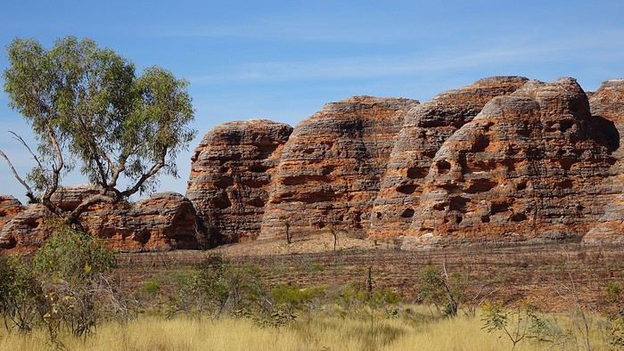
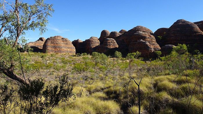
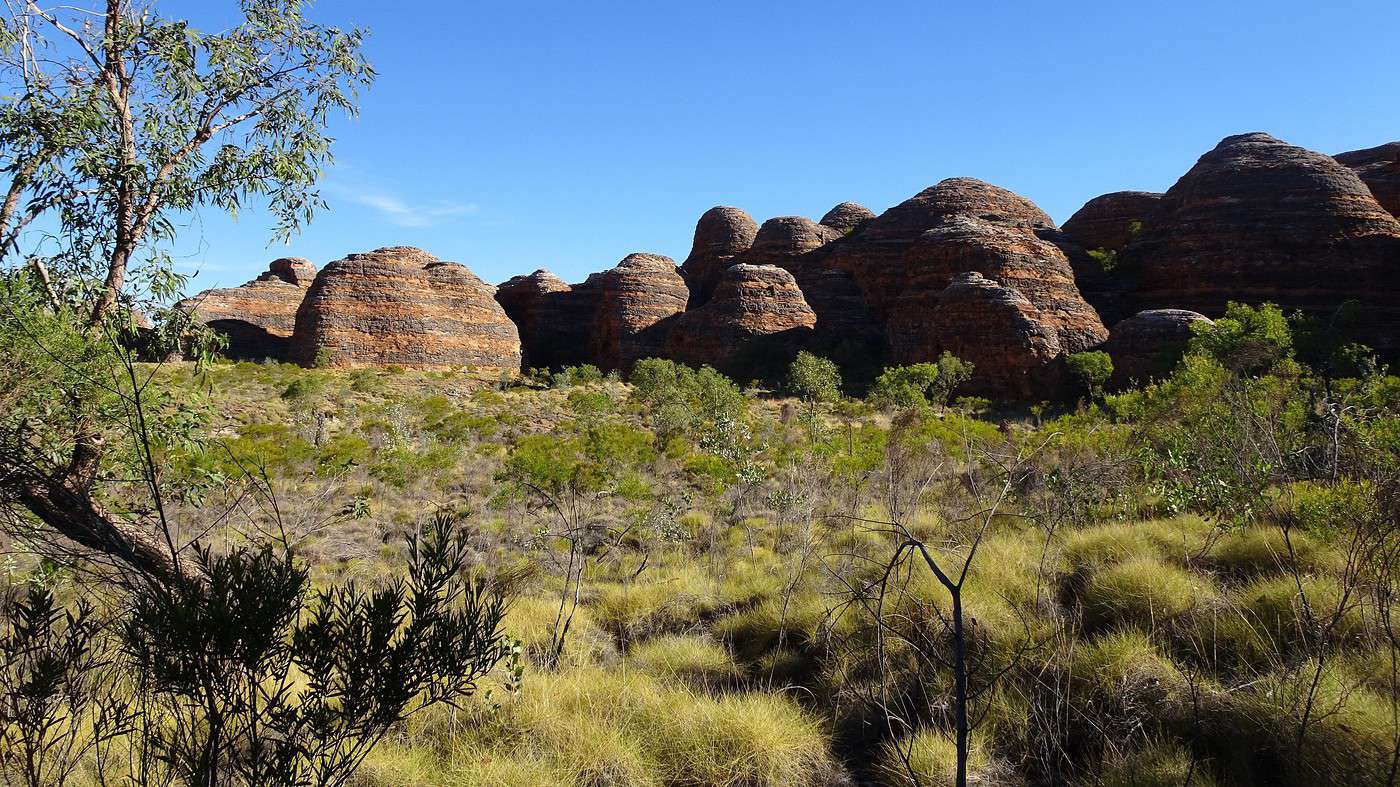
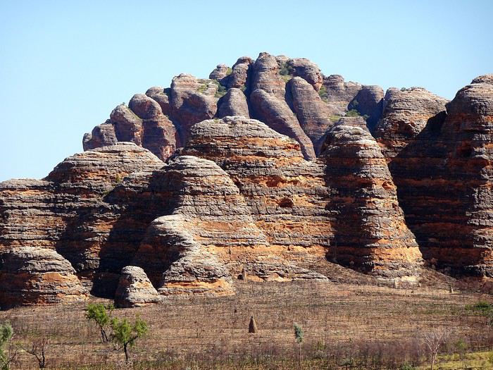
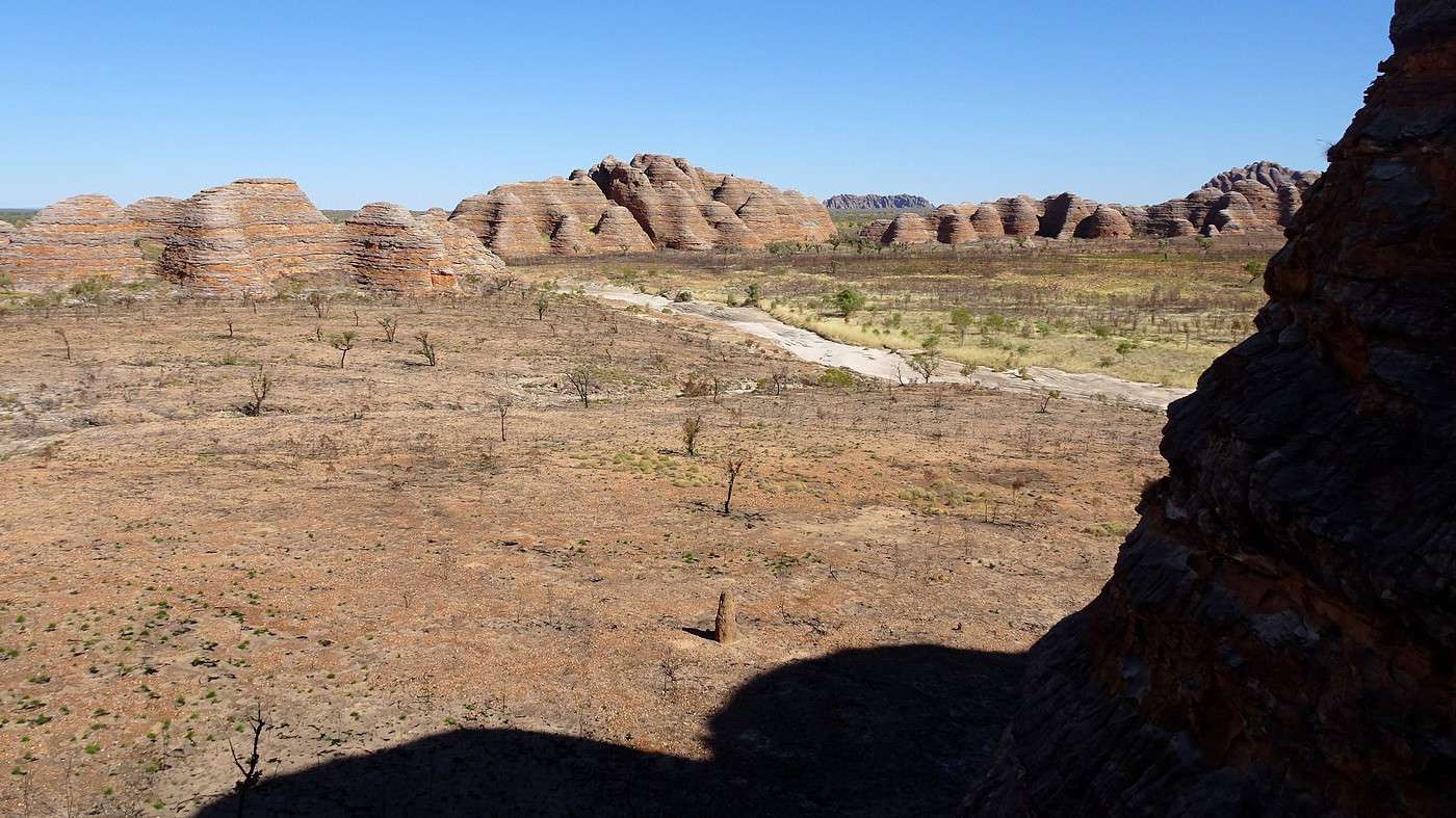
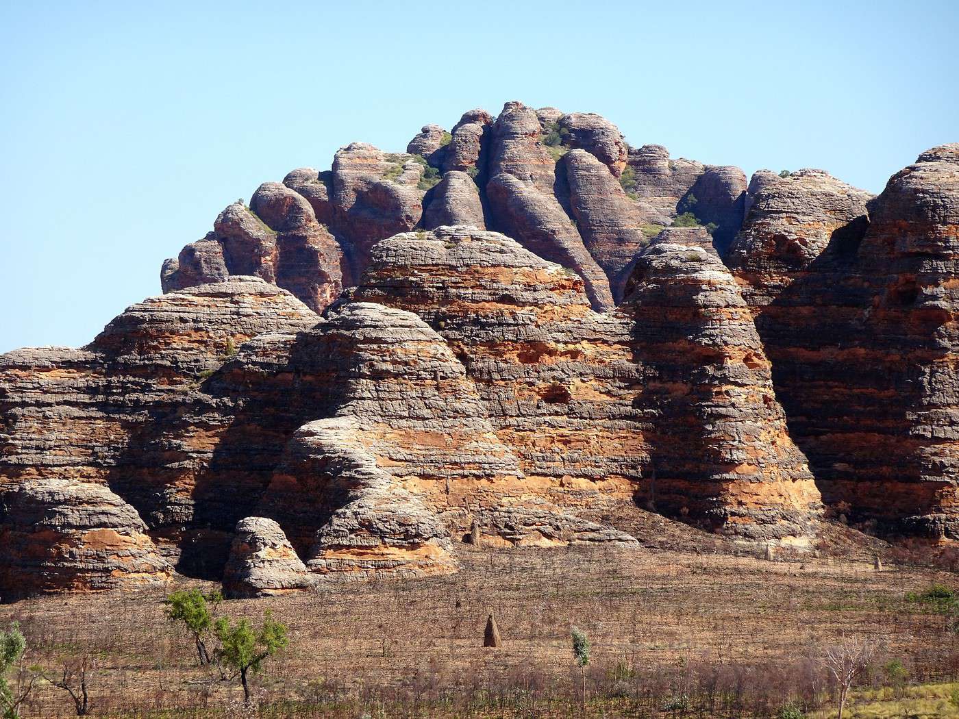
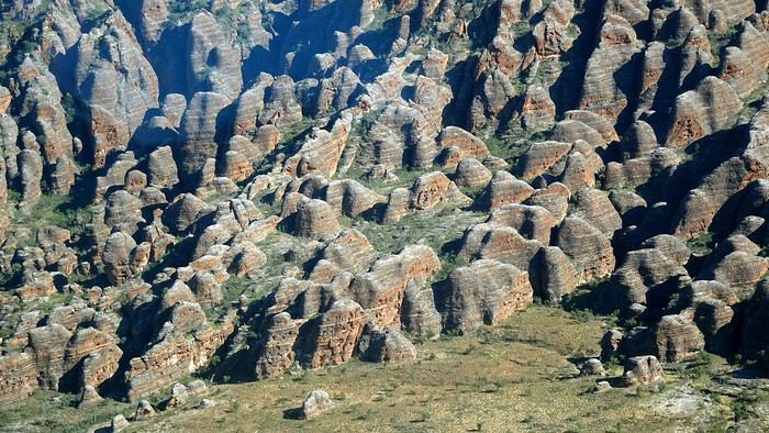
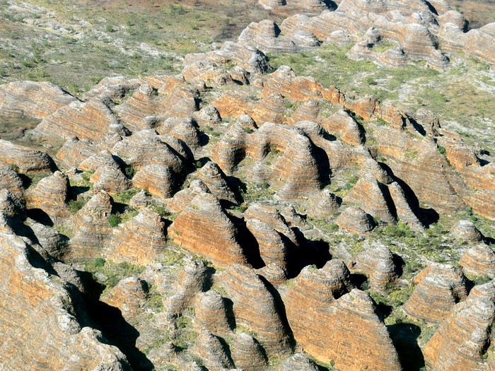
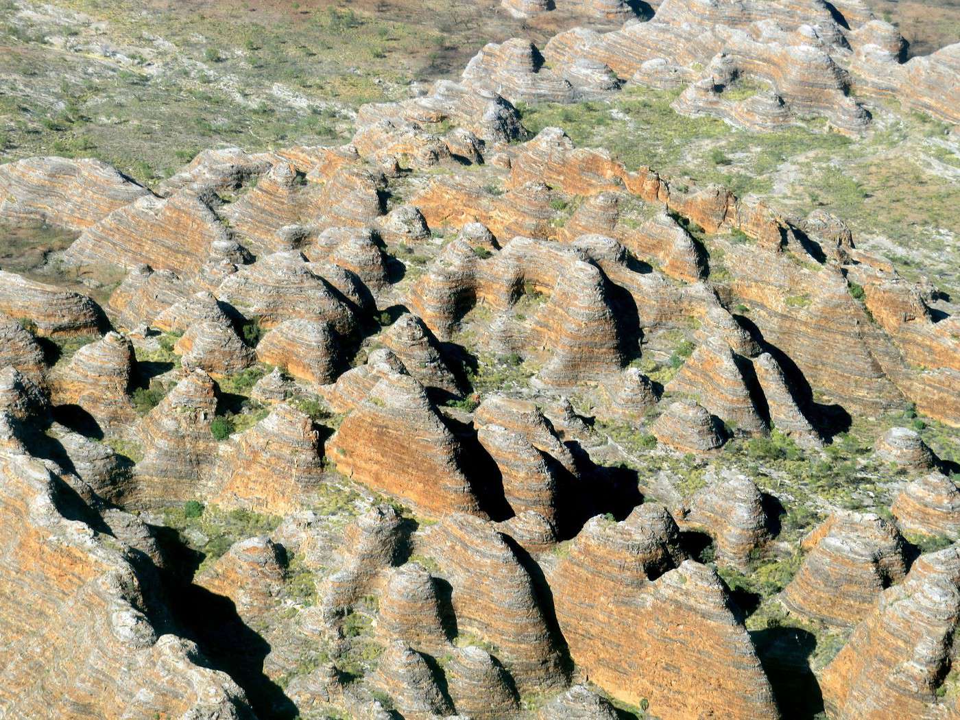
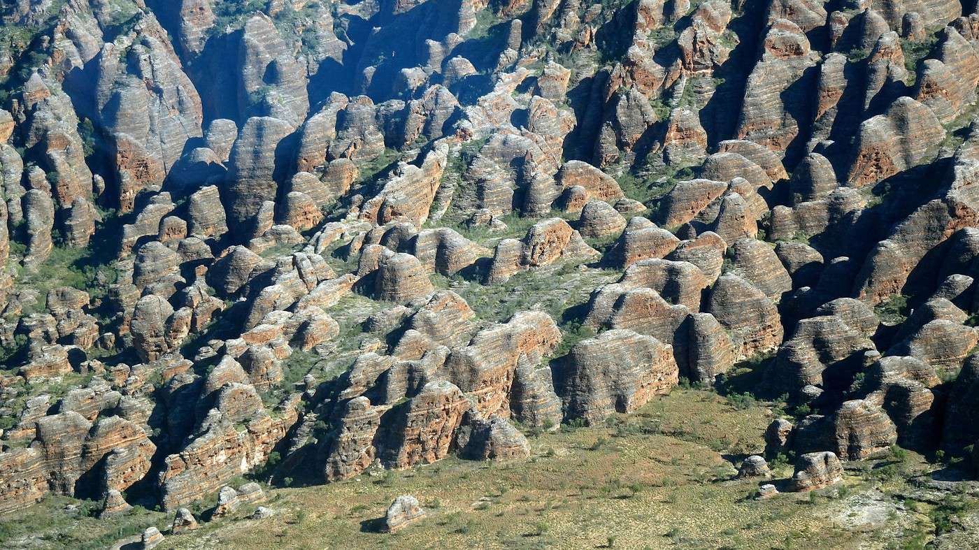
Purnululu National Park covers an area of almost 2,400 km² and contains the highly dissected Bungle Bungle Range, composed of Devonian quartz sandstone eroded over 20 million years into a landscape of exceptional beauty and geological value. It features outstanding examples of sandstone cone karst rising up to 250 meters above a semi-arid savanna. The extraordinary orange and black bands of these formations were created through unique deposition and erosion processes, biologically influenced by cyanobacteria (single-celled photosynthetic organisms) that stabilize and protect these ancient sandstone structures.

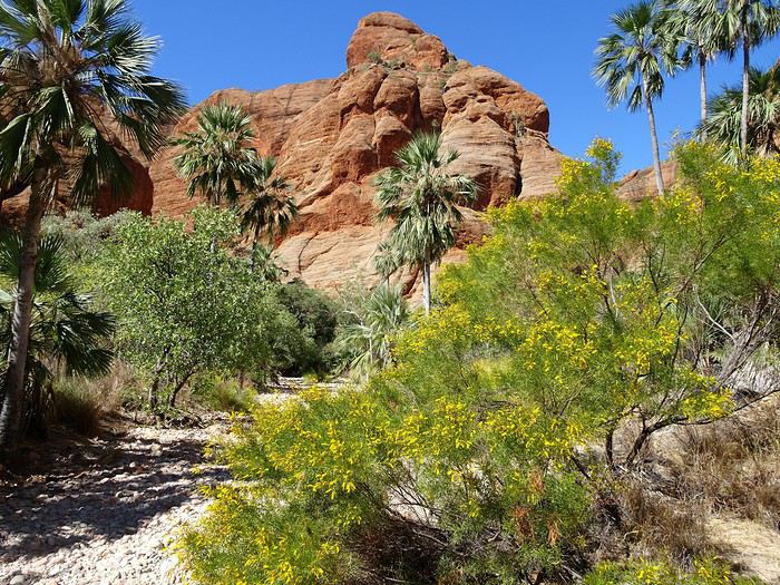
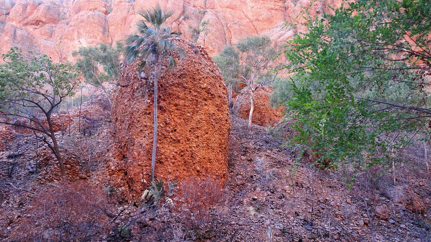
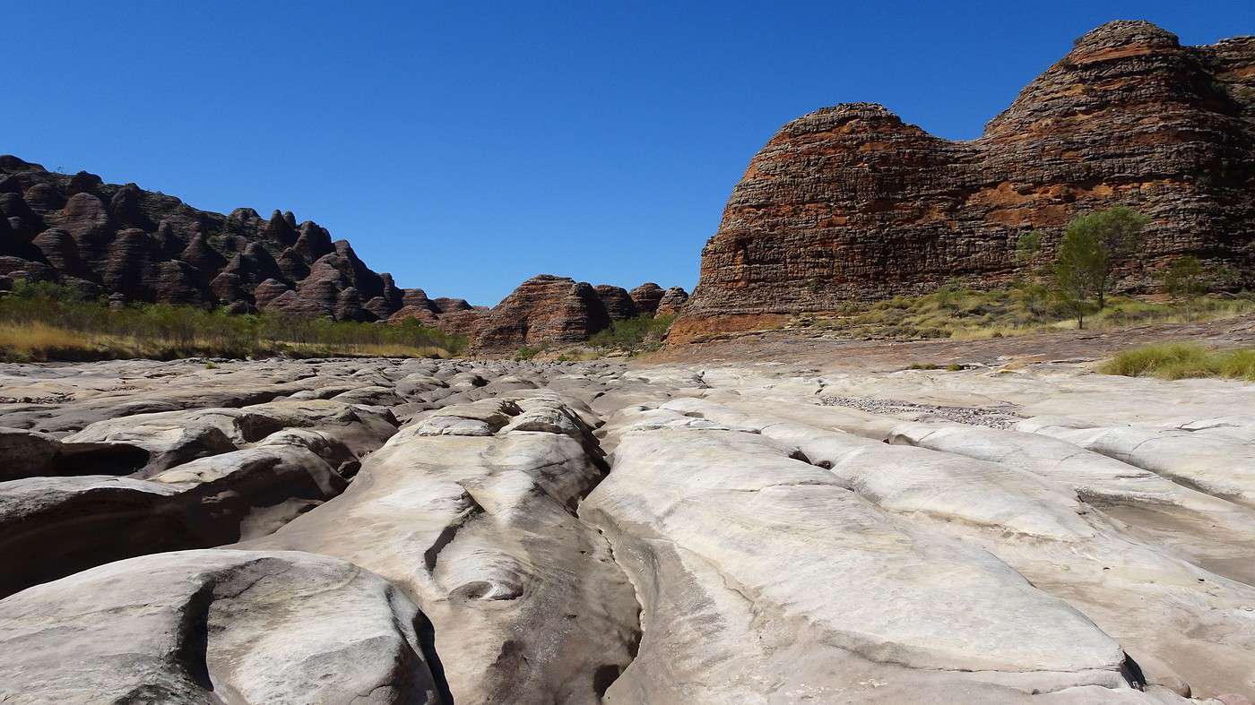
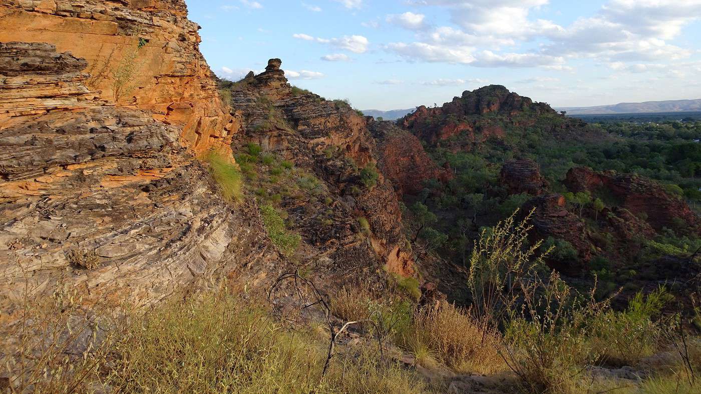
The park’s main scenic attraction is the extraordinary range of beehive-shaped conical towers clustered in the Bungle Bungle massif. These strikingly sculpted structures, unmatched in scale, extent, and diversity of form anywhere in the world, undergo remarkable seasonal changes in appearance, including dramatic color shifts after rain and varying sunlight angles. The labyrinth of towers is accentuated by narrow, winding gorges with steep slopes, lined with majestic Livistona fan palms.

The sandstone karst of Purnululu National Park is of great scientific importance as it clearly demonstrates the process of cone karst formation in sandstone—a phenomenon only recently recognized by geomorphologists and still not fully understood.


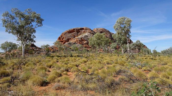
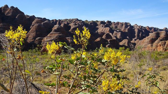
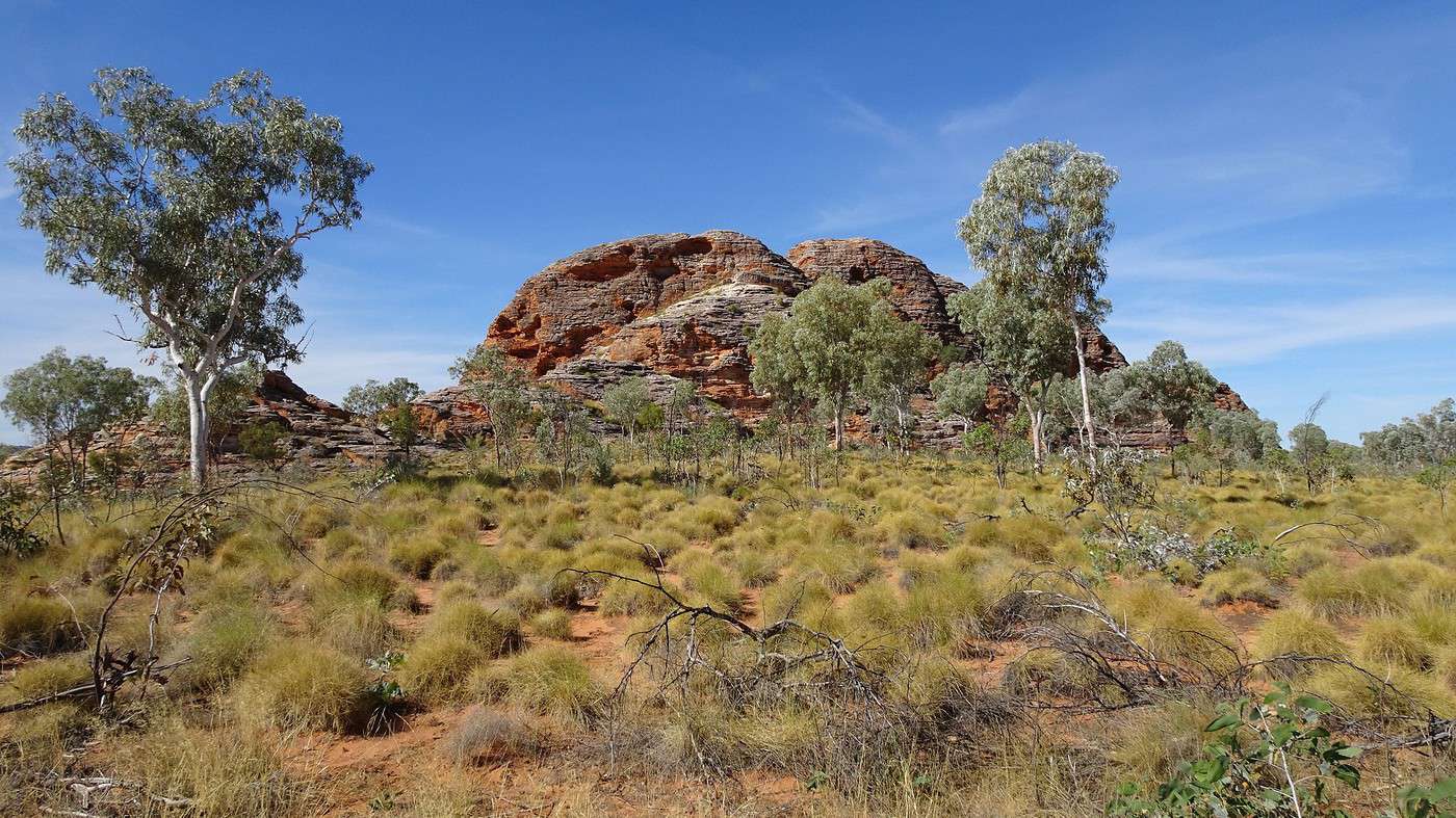
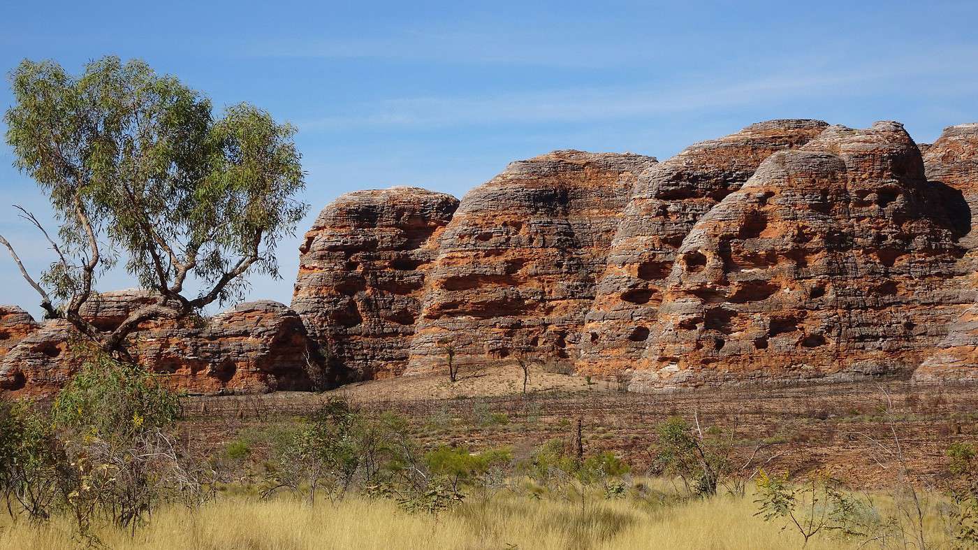
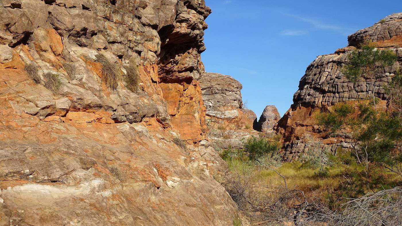
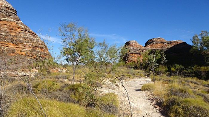
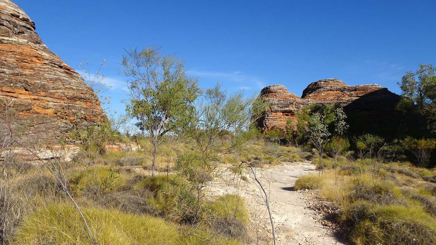
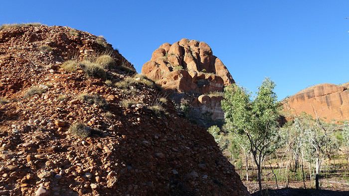
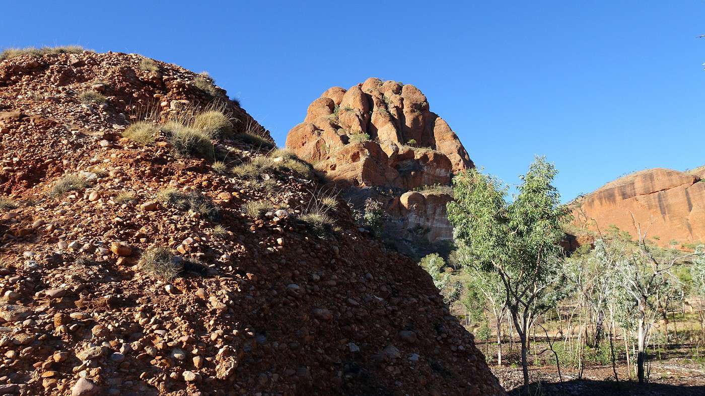
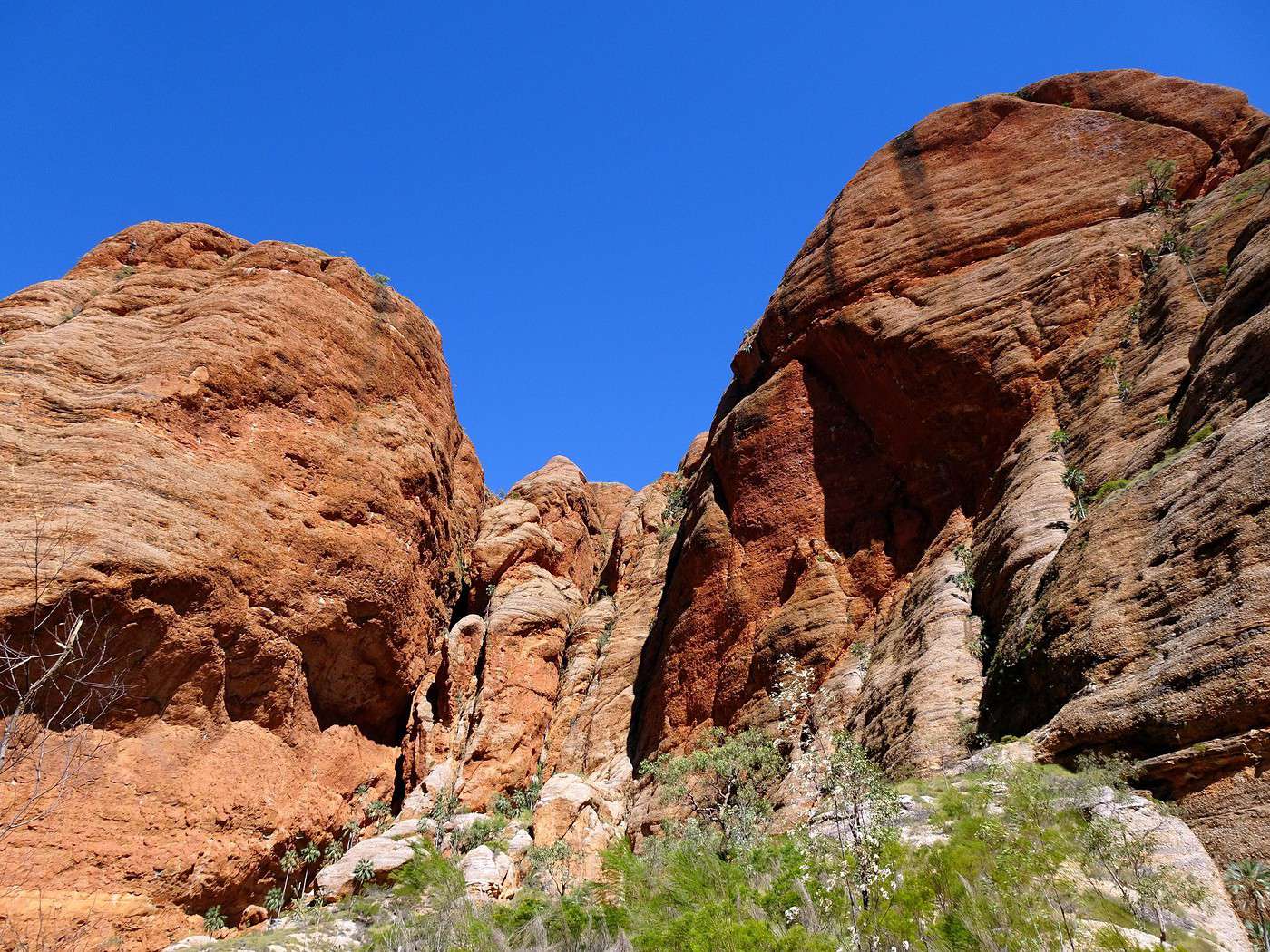
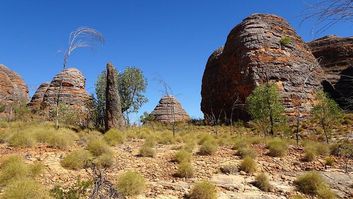
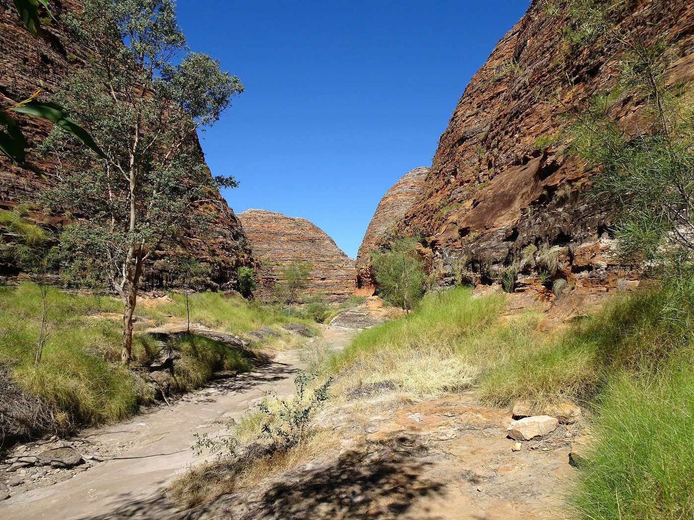
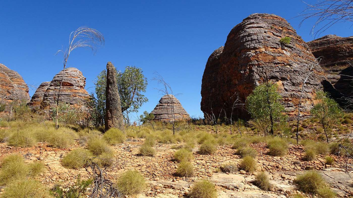
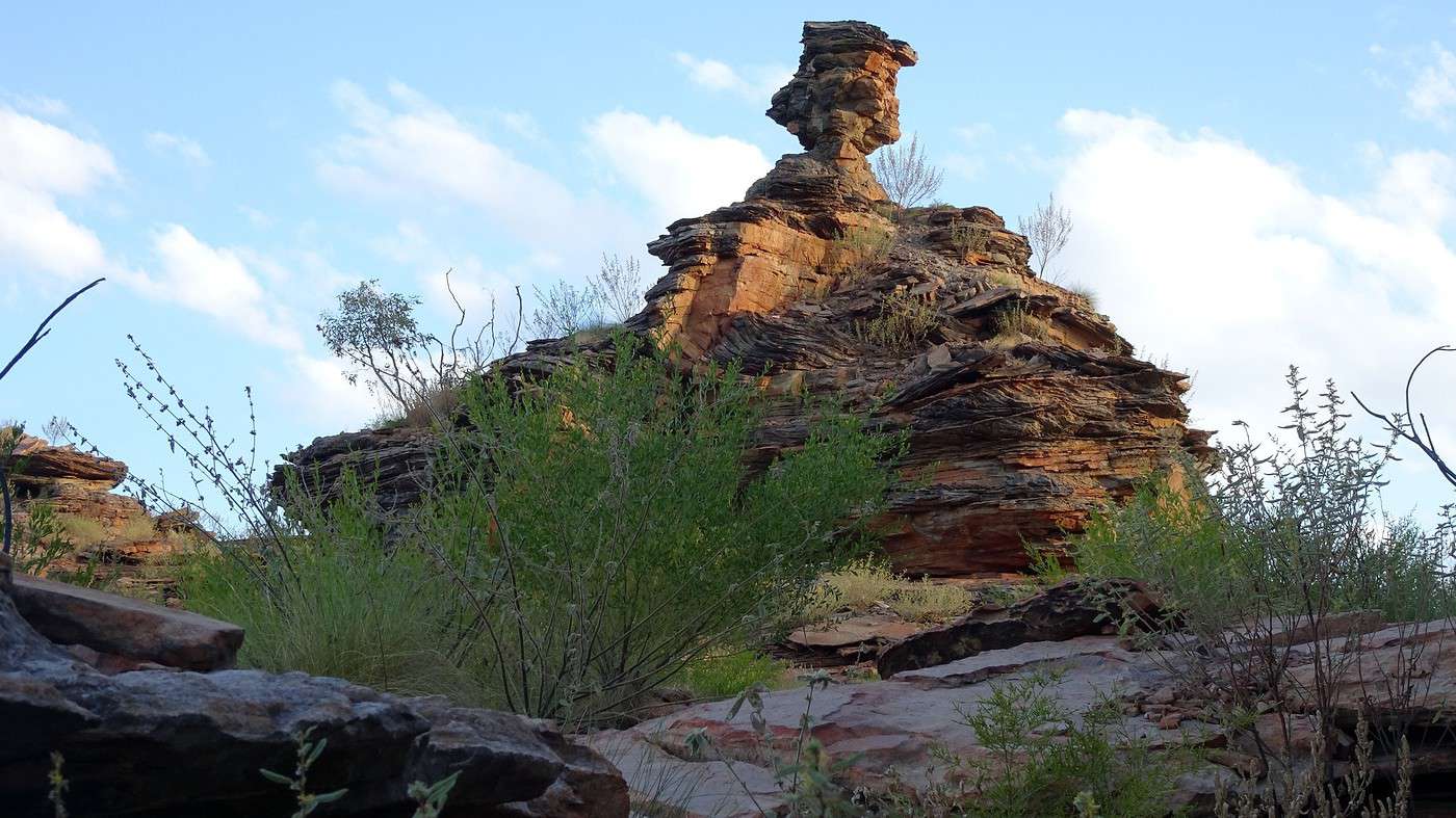
At last, we’ve reached the end of the track, right at the foot of this extraordinary ‘beehive’ massif. We don’t know where to look first and can’t wait to explore the different paths winding into this truly incredible landscape. The sun is beating down hard. Hatted, slathered in sunscreen, and with our water bottles in hand, we start with the shortest walk—the one looping around the nearest and most accessible domes. We follow the zigzags of the sandy, marked trail through dense vegetation, gradually discovering the different domes with their rough walls decorated in horizontal colored bands, all in an eerie silence.


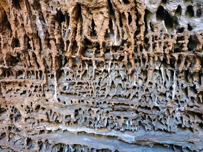
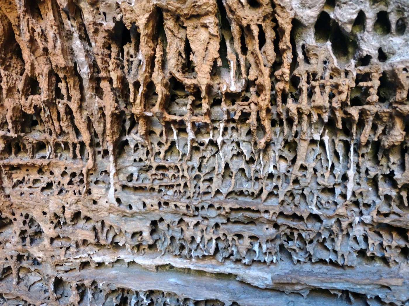
A huge relief to see that a good part of the trail is now in the shade—we’re also surprised to realize how much the rock color changes depending on whether it’s exposed to the sun and how intense the rays are. The path ends in a dead end, inside a cave where the temperature is refreshingly cool. The walls are covered in what looks like relief frescoes, but are actually the result of water infiltration and rock erosion.


To the Top West End

Xrctn · 2020-09-16

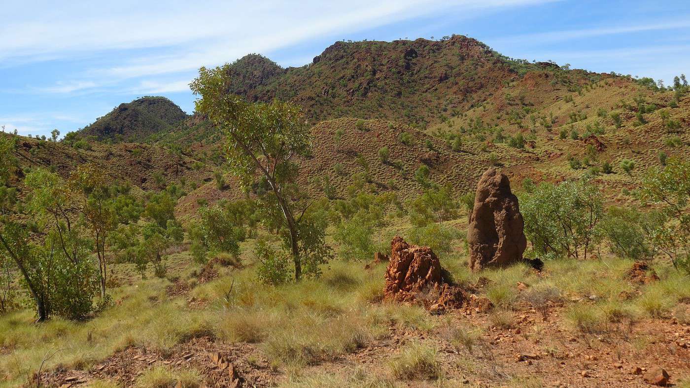
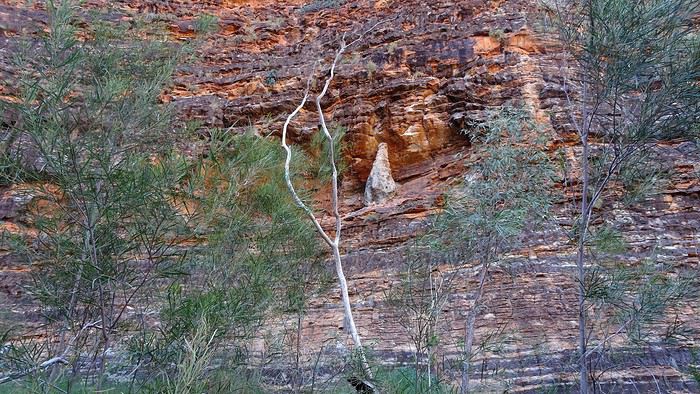
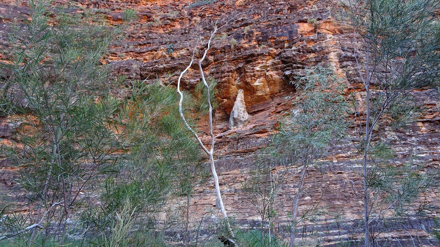
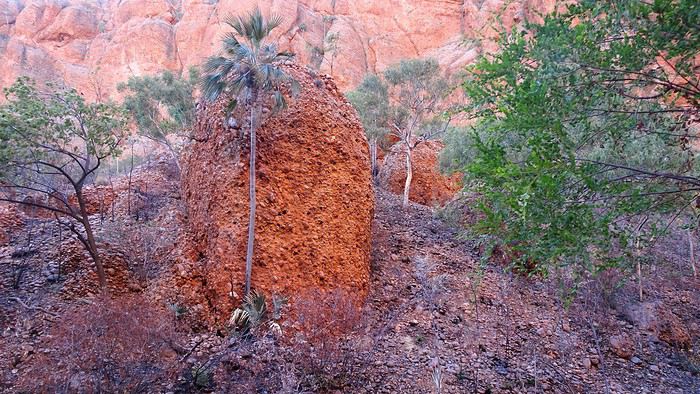
We’re finishing the loop that takes us through some mysterious nooks. A few birds make a brief appearance before disappearing into the vegetation. Defying the laws of gravity, we also notice the presence of surprising termite mounds clinging—almost miraculously—to the upper sides of several rock formations. We’re back in the open again, but this time the heat is far less oppressive. We’re tempted to keep exploring, but that would risk not making it back before nightfall—a definite no-no in the bush in general (risk of hitting animals) and on this terrible track in particular.


We almost envy the couple who just arrived and are starting to set up the tent on their vehicle’s roof. They’ll have the place all to themselves and, most importantly, get to watch the rock formations light up as the sun begins its descent. Next time, we promise—we’ll camp here too!

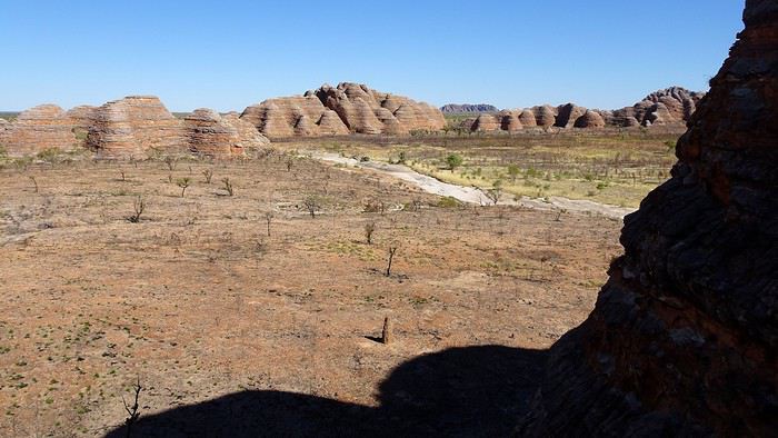
For now, we’re back to our session of jolts or vigorous massage. At the park entrance, a sign points to Kungkalanayi Lookout, a scenic viewpoint just a kilometer away. Okay then, might as well check it out. And sure enough, we’re not disappointed—the view is stunning, especially as the rock turns increasingly red and the light plays beautifully on the vegetation. But this time, we *have* to go—it’s nearly 4:30 PM, and in less than an hour, it’ll be dark.


And we’re off again. The difference this time is I know what to expect and remember the trickiest sections. I even throw in a few (brief) bursts of speed. What I *didn’t* plan for, though, was the setting sun in my eyes or the two 4x4s ahead of us kicking up clouds of dust, forcing me to slow down—or even stop—so they’d put some distance between us.

After a few kilometers, I finally lose patience and take a deep breath (literally). Taking advantage of a slowdown as we approach a climb, I flash my headlights and overtake them, squeezing my eyes shut and saying a quick prayer—which, thankfully, is answered.

Night has fallen now, and I’m even more on edge. But I also discover one advantage of the dark: in the headlights, the bumps and potholes in the track are much harder to spot! A few lights finally appear—it’s the campsite. We’ve made it—safe and sound, and the car survived. I’d better not forget that candle for St. Christopher!

For now, we head to reception to buy a couple of beers, which we’ll enjoy on our ‘terrace,’ gazing at the Milky Way in all its glory—while massaging my right shoulder!!! After a great meal of delicious sandwiches, we burrow under the thick blankets—it’s only 6°C tonight!

To the Top of the West End

Xrctn · 2020-09-17

Monday. 5:30 AM. It's as freezing inside as it is outside, where the first light of day is appearing on the horizon. The thermos filled with boiling water at reception last night isn’t very effective anymore, so we have to make do with lukewarm tea to dunk our biscuits.

Less than half an hour later, we’re back on the bumps and potholes of the hellish track. The campsite manager told us yesterday that the road has never been repaired or improved and that its condition gets worse every season—but it’s also a good way to limit the number of visitors?! In fact, this only access to the national park crosses the land of a pastoral station, and the owners have other priorities.

The low-angle light illuminates the dew-covered vegetation—it’s amazing how a landscape can look so different depending on the sun’s brightness and the shadows of the terrain. While yesterday we only spotted a few birds, this morning they’re everywhere and in large numbers (the park is home to nearly 150 different species). But this isn’t the time to lose focus. Even though I feel more at ease, driving is still tough, especially since my shoulder pain is flaring up again and, once more, I’m blinded by the sun rising over the hills.


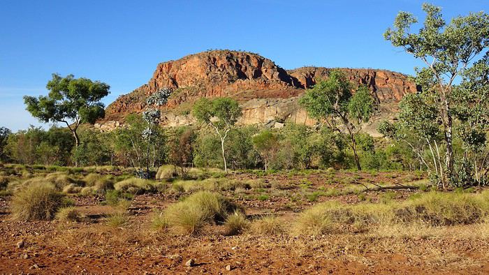
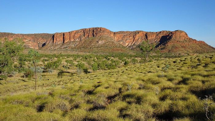
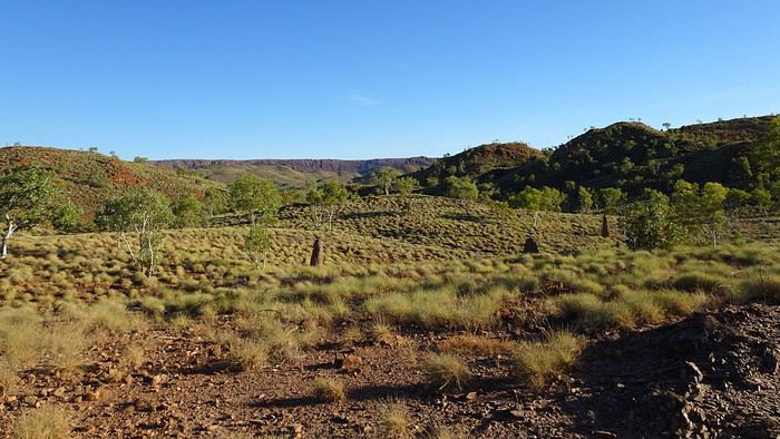
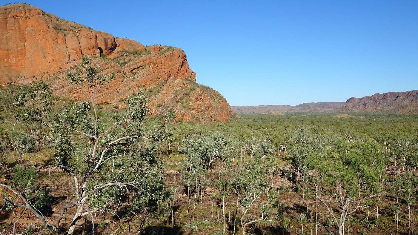
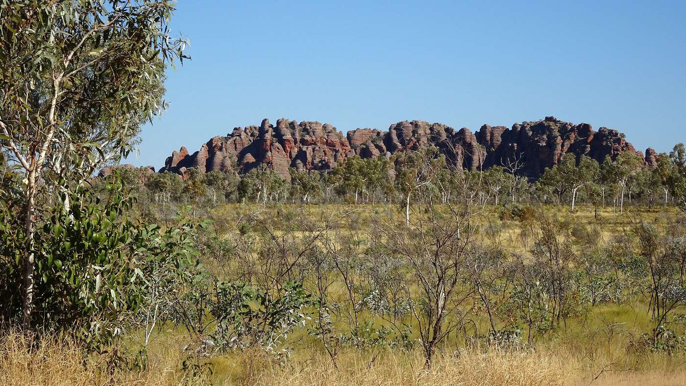
Well, we’ve beaten yesterday’s record: 1 hour 20 minutes from the campsite to the Visitor Centre. This time, we turn left toward Echidna Chasm, the northernmost part of the Bungle Bungles range. This nineteen-kilometer stretch is much more manageable, running along a valley lined with a series of rocky massifs—very different from yesterday’s ‘beehives’—and covered in a carpet of golden spinifex dotted with spaced-out eucalyptus trees, a few baobabs, and, surprisingly, some palm trees.

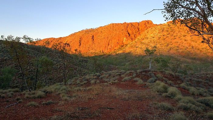
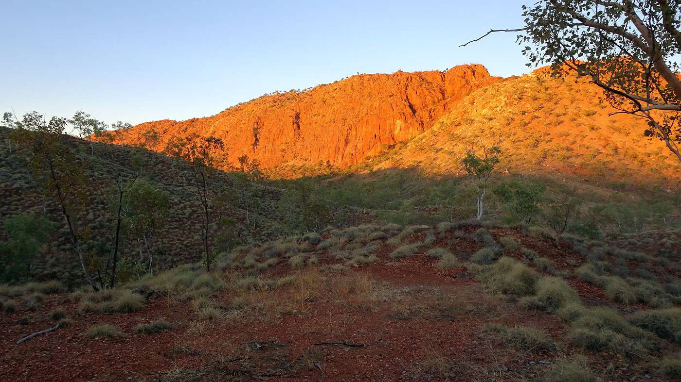
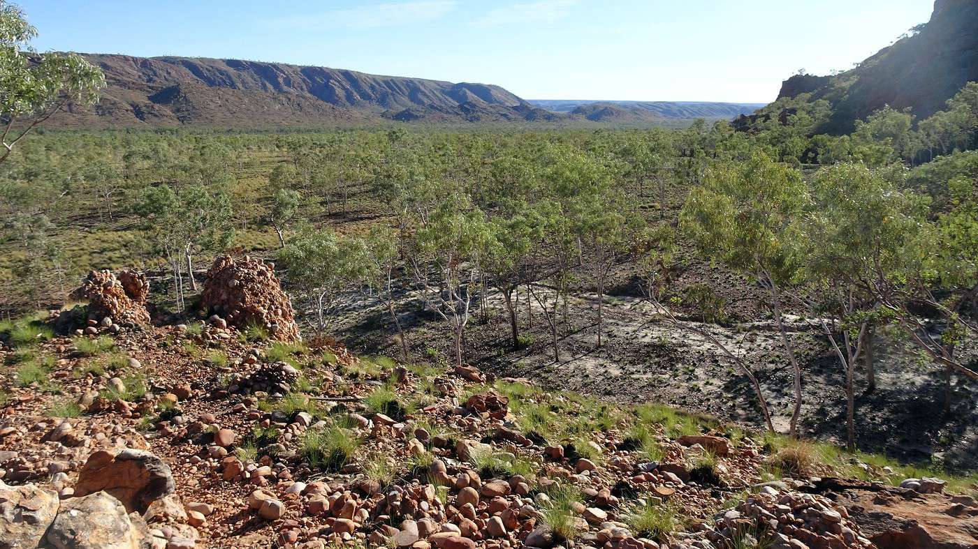
The track ends at the foot of large red rocks, and once again, we’re alone. The temperature is perfect for a walk. The first trail climbs gently to a small promontory offering a panoramic view of the Osmond Range, famous for its series of long, sloping plateaus.


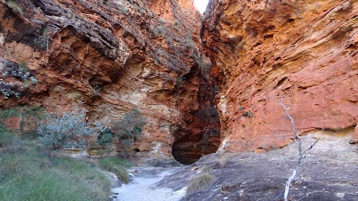
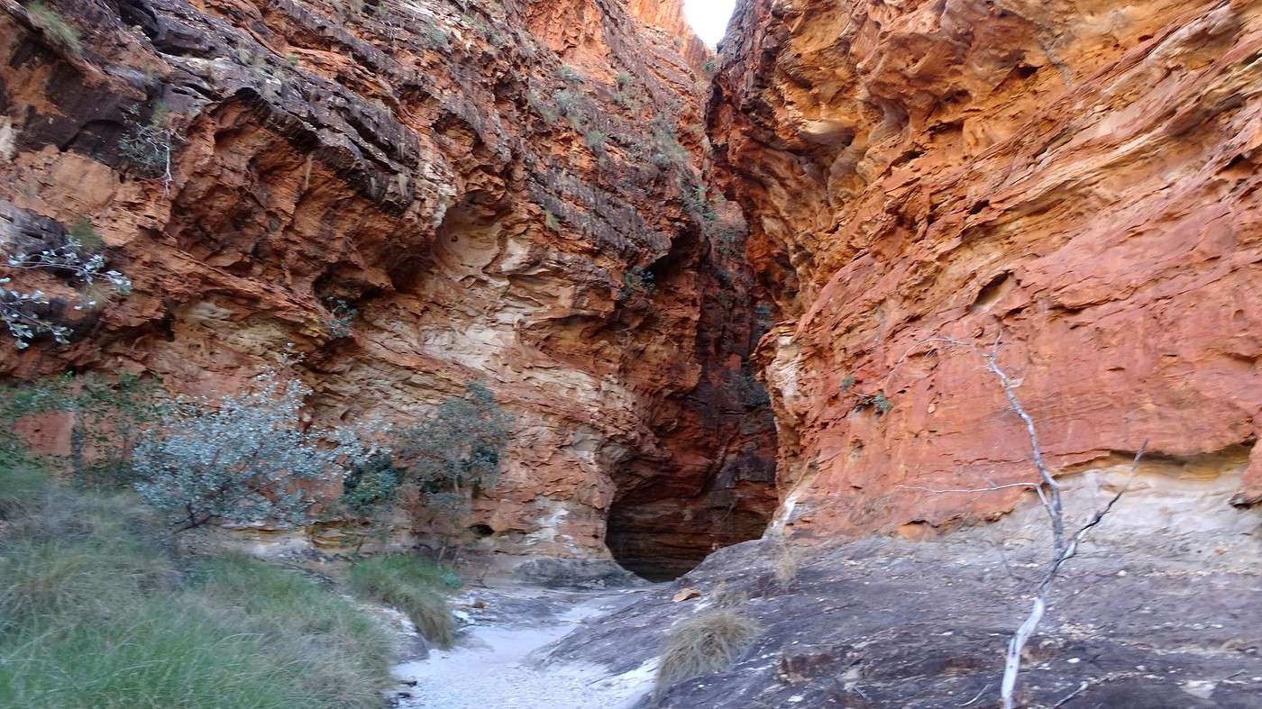
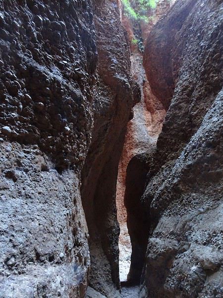
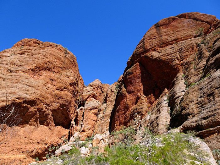
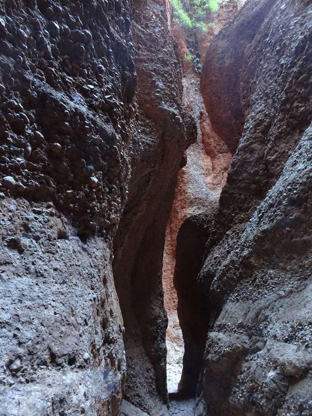
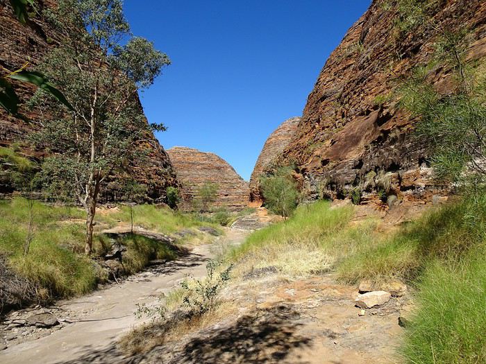
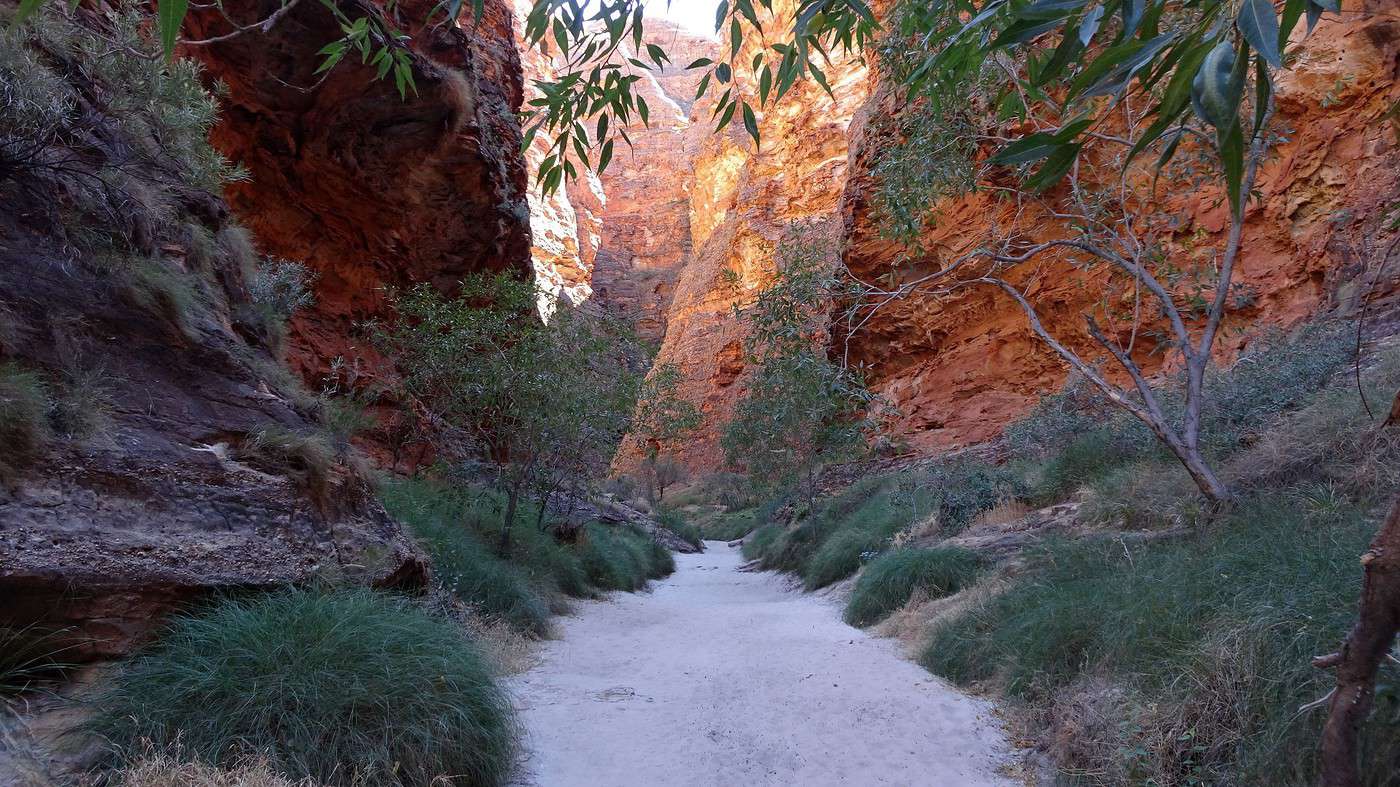
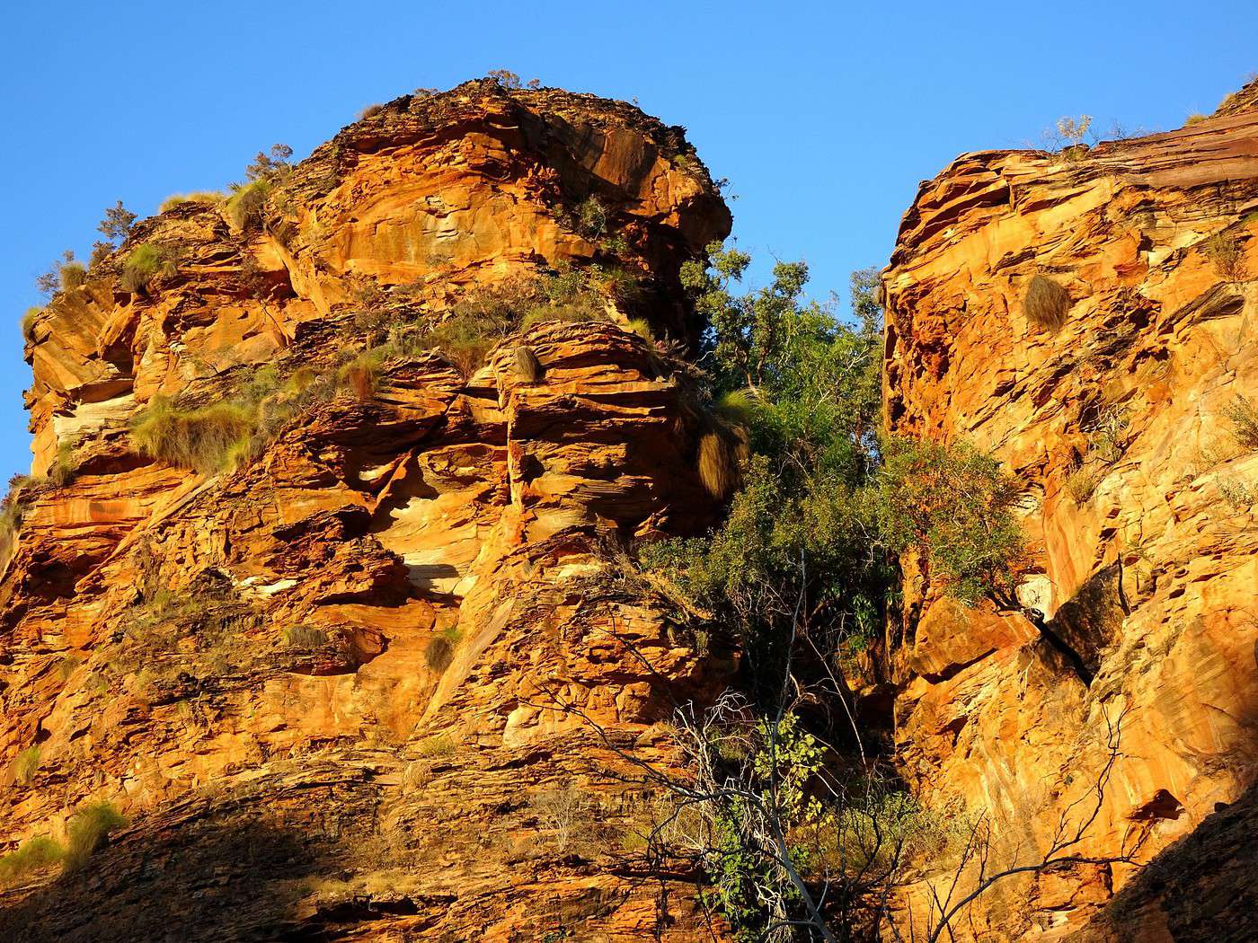
The second trail follows the bed of a river that winds into an increasingly narrow gorge, eerily reminiscent of Petra’s Siq (minus the smells!). On the steep red walls, magnificent fan palms grow—what a striking contrast of colors, especially since the rock shifts from red to black.

The path narrows to the point where only one person can pass at a time. Beyond that, we discover a large, roughly circular chamber and another passage cluttered with massive fallen boulders that we have to climb over. Further on, we squeeze under other rocks wedged between the walls. Soon, we reach the end of the trail, which finishes in a smaller, darker chamber. In these rocky depths, the tiny patch of blue sky we see when looking up feels oddly reassuring.


On the way back, we spot several skittish lizards but only one pair of lovebirds… well, they seemed to be!

Happy to be back in the sunlight, less thrilled about the bite of its rays. It’s breakfast time: cereal, fruit, yogurt—all washed down with cold coffee. But what a stunning setting, and it’s Monday! On vacation, Monday has always been my favorite day!

Our next stop is a few kilometers down the road at a place called The Bloodwoods, where three trails start, allowing you to explore different parts of this massive range. We choose the longest one: The Homestead Valley, just because I like the name.

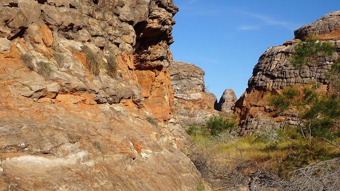
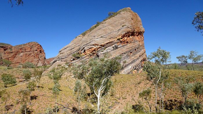
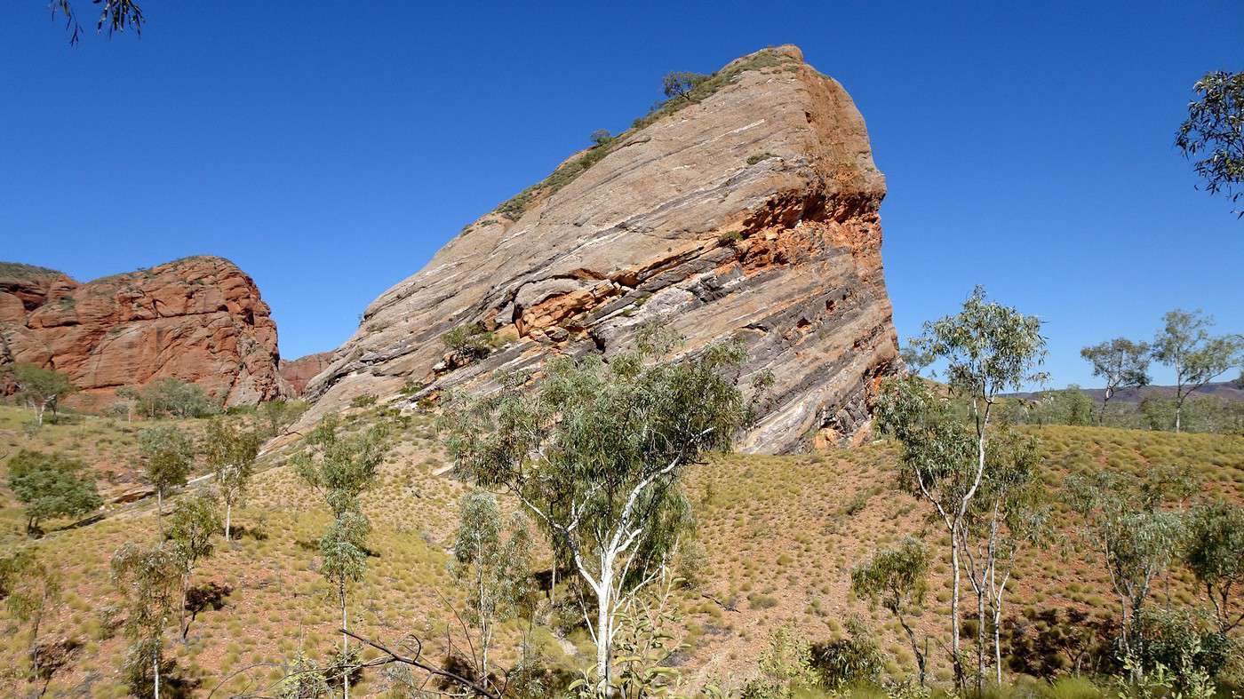
It starts with a gentle slope through the bush and around a huge rock with tilted strata and curious scars. The trail then heads toward a set of red cliffs. It’s only ten in the morning, but the sun is already beating down, and there’s no shade in sight—luckily, we’ve brought several bottles of water. The place is impressive and eerily quiet.


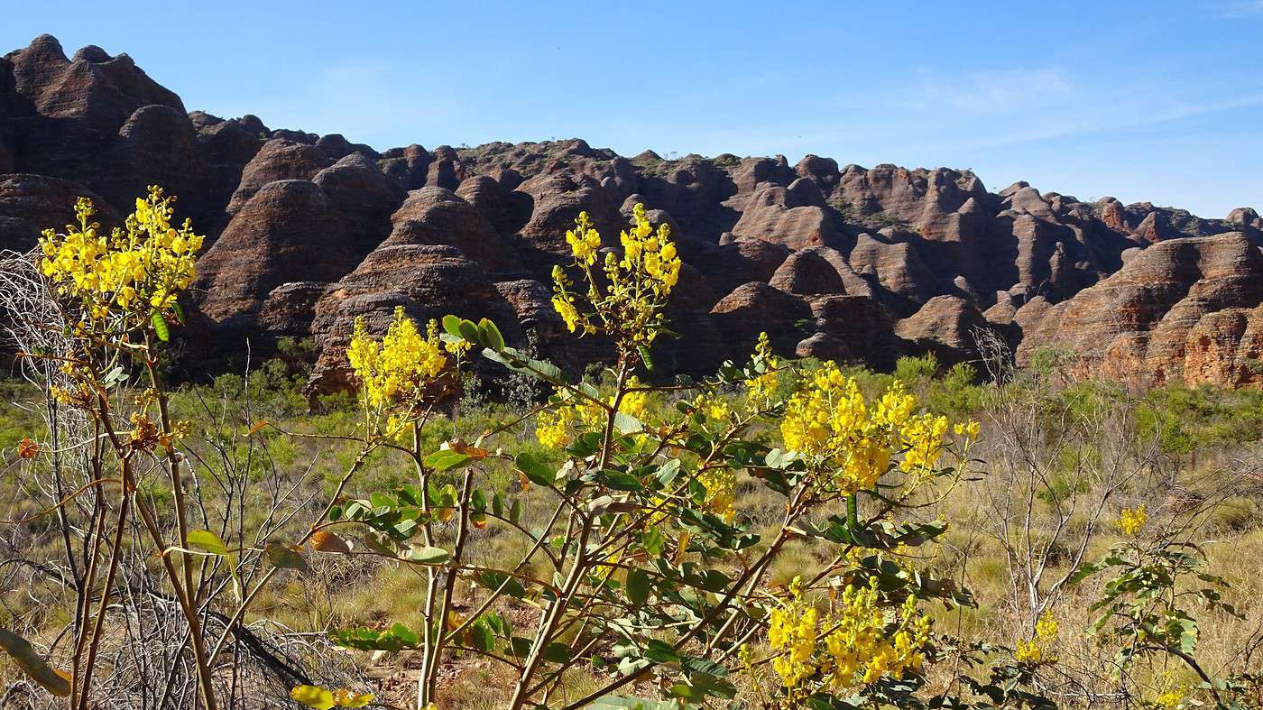
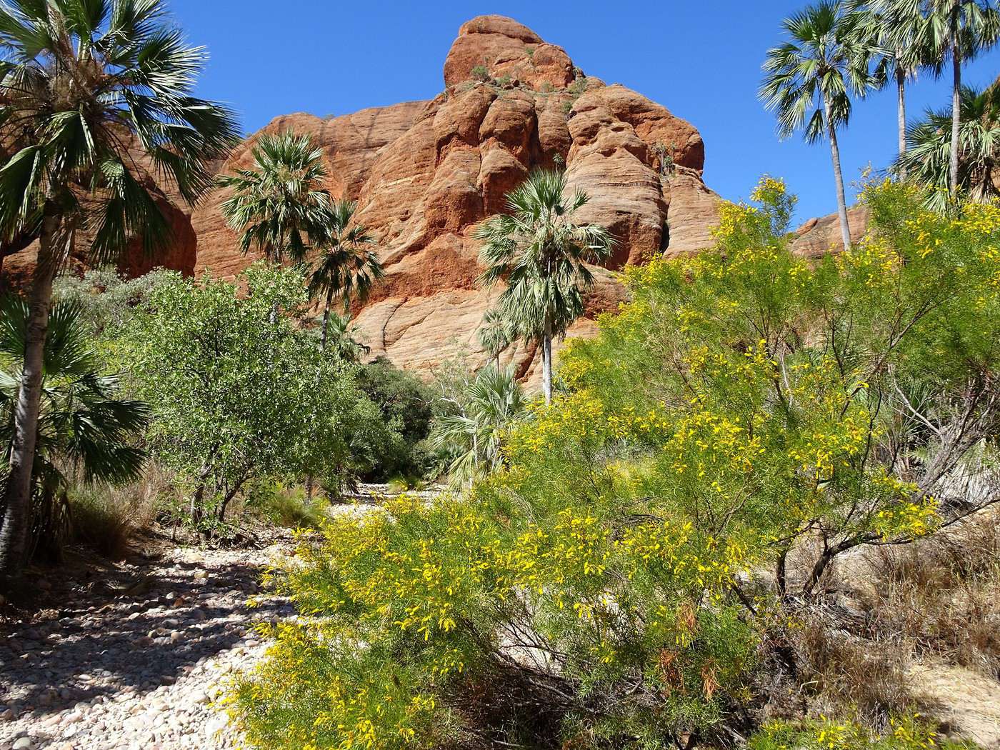
Signs indicate that we now need to follow the stony bed of a completely dry river leading into a small canyon where many acacias are in bloom. The blue of the sky, the reds of the rock, the greens of the vegetation, the yellows of the flowers, and the white of the stones—what a beautiful three-dimensional painting. Walking on these large rocks is tough, but our frequent stops let us watch the multitude of small birds busy feeding on the flowers. Oddly, despite being in Australia, no insects bother us here—not even a fly!


One branch of the trail is blocked—it leads to a sacred Aboriginal site that’s off-limits to visitors (there are over 80 such sites scattered throughout the national park). The local Aboriginal people (the Karjaganujaru peoples) have been the traditional custodians of these lands for over 20,000 years. Their stories, traditions, and some of their resources are tied to this place, and for many, this connection continues today. In fact, the park is managed jointly by government agencies and the local Aboriginal community.

We take the other branch, which climbs to a small natural platform offering a panoramic view of the little valley and the natural amphitheater just ahead.

As for the origin of the name ‘Homestead Valley’ (the valley of the homestead, farm, or family property…), a sign explains that it dates back to 1880, when the first colonial explorers were searching for agricultural land. One of them, Alexander Forrest, thought this spot was ideal for establishing a homestead. Fortunately, his idea wasn’t pursued, but the name stuck.


The return under the scorching sun is tougher than expected, and once we’re back at the car, we decide to save the other two hikes for… another visit! Once again, the car’s air conditioning quickly revives us, and we stop at… Stonehedge feeling almost back to normal.

It’s not some prehistoric formation but just a trail through the bush and along the banks of a small (obviously dry) river, explaining how Aboriginal people used different trees, shrubs, and grasses. From a distance, all eucalyptus and spinifex look alike, but up close, they’re incredibly diverse. Some have edible fruit, others have leaves that can anesthetize prey, or branches for making hunting tools or baskets, bark for producing glue, or medicines to cure all sorts of ailments… etc. The walk is very informative and gives you an appreciation for the vast knowledge of the bush that Aboriginal people have (or had). Despite this lesson, I hope I never get lost in the bush—I wouldn’t survive long!


And so ends our visit to the northern part of the park. It’s time to ‘race’ toward Piccaninny Creek, where we were twenty-four hours earlier.

To the Top of the West End

Xrctn · 2020-09-17

We arrived at the worst possible time. The temperature shot from 6°C to 36°C in just a few hours! Yesterday’s campers had been replaced by a young couple and their three little kids finishing up their picnic.

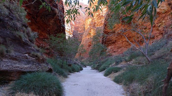
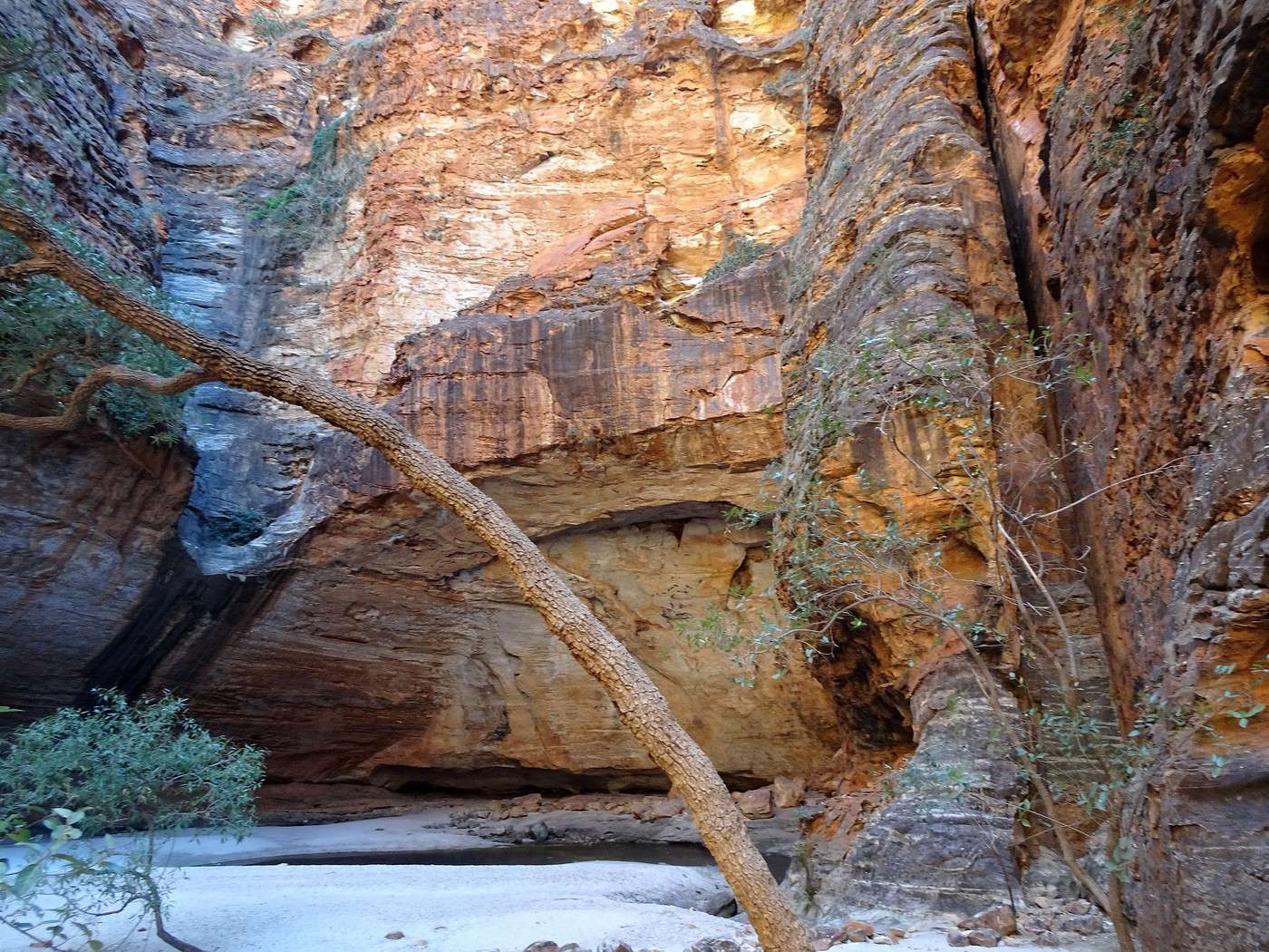
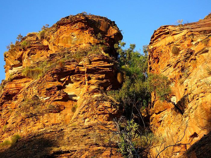
Luckily, the first hike we took was mostly in the shade, deep in a gorge. Still, we had to endure a stretch in the open sun, walking near and then on scorching hot rocks before reaching the sandy path leading to Cathedral Gorge. A light breeze brought some welcome coolness as we made our way deeper into the gorge. The upper parts of the cliffs, lit by the sun, took on strange orange and golden hues.


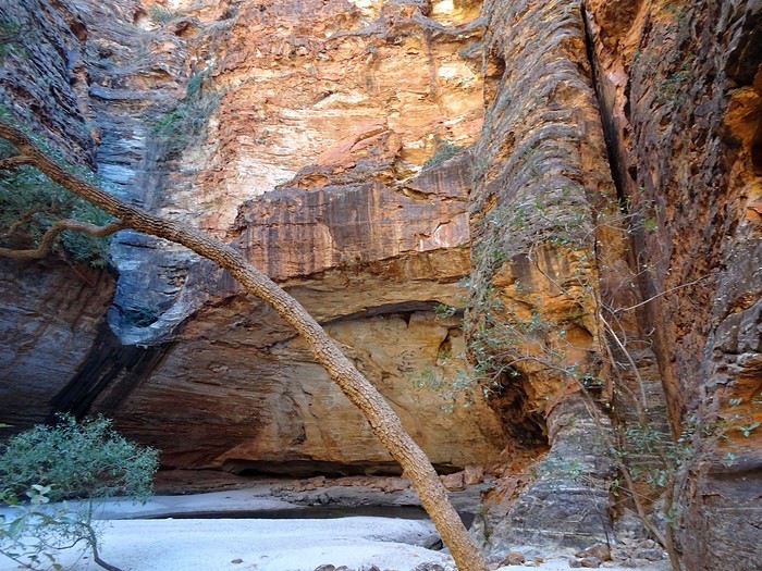
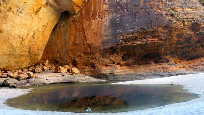
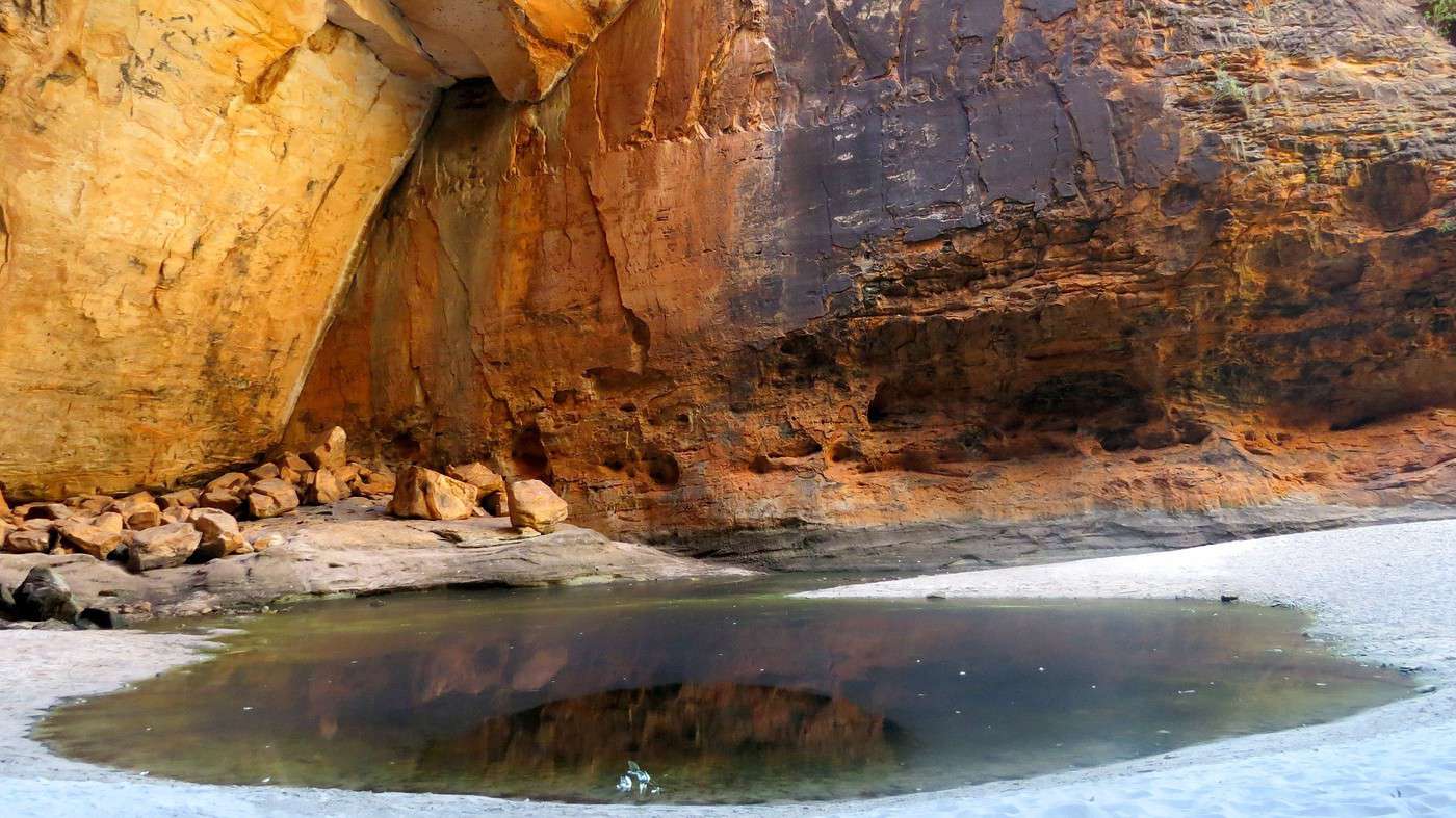
Apart from the sound of sand crunching under our feet, the silence was total—almost eerie. One last turn and a slight climb before discovering a vast semi-open cave with its massive half-dome ceiling. On the ground, white sand and, in the middle, a small pool of water reflecting the cave’s colorful walls.

But the most surprising (and most welcome) part was the coolness inside. We greeted another young couple and their little girl building a sandcastle—a somewhat surreal scene. After exploring every corner of the cave, we lay down on the cool sand for a long while, trying to imagine this same spot during the rainy season, when the cave turns into a waterfall and the sand disappears underwater. There’s little chance we’ll ever see it, though, since the park becomes inaccessible and remains closed to the public.


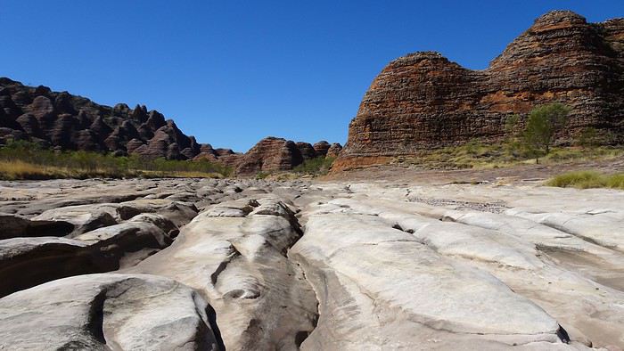
Time to head back—more hiking awaits! The next one took us a few kilometers farther to the Piccaninny Creek Lookout. Unfortunately, this stretch was in full sun, following the riverbed between the rock towers. The deep erosion marks on the rocks hinted at the sheer force of the water here during certain times of the year. Hard to imagine so much water flowing through this place! Phew, the lookout was in the shade! The perfect spot for a long moment of contemplation.


Ry’s bright red face told me the rest of the hikes would have to wait for another time. Better to head back to the car. We’d seen the main sights anyway—we hadn’t even planned to do the full circuit, which takes two days!!!

The drive back to the campsite was more relaxed, even if that blasted track was still just as rough.


This time, we arrived before nightfall and could enjoy the sunset from our terrace, sipping beers and munching on handfuls of peanuts… which would have to do as dinner tonight.

To the Top West End

Dolma · 2020-09-17

Thanks Xavier for this walk that was as refreshing as it was enjoyable...

I think of Arthur Upfield I think of Kim Mahood I think of Tim Winton I think of Catherine Rey Over time and through my readings, I’ve become passionate about this country with its many extraordinary facets, and today I’m loving following your adventures!

And then I think of my friends Lyn & David, who have been patiently waiting for so long to show me their country—"your" country...

See you soon, then, to drive between hills and ravines, to walk trails until we’re sweltering, to marvel at the colors and scents, to navigate a map we can never fold right, and to discover and savor it all over and over again...

Dolma

To the Top West End

Xrctn · 2020-09-18

... some passionate readings about this country with its many extraordinary facets

Hi Dolma, you can add to your reading list Albert Facey (*A Fortunate Life*), Sally Morgan (*My Place*), Xavier Herbert (*Capricornia*), and even D.H. Lawrence (*Kangaroo*), Mary Durack (*Kings in Grass Castles*)... etc. However, I’m not sure if all these books are available in French. I was recently recommended *The White Savage* by François Garde... I’m looking for it!!!

And then I think of my friends Lyn & David, who have been patiently waiting for so long to show me their country...

They’ll need a little more patience, but I hope you’ll surprise them!

...on a map that just won’t fold back properly

Oh, definitely not!

To the Top of the West End

Xrctn · 2020-09-18

Tuesday. 6:30 AM. Parrots are holding a conference in the trees surrounding our tent, and their shrill cries make for an excellent alarm clock. Time to pack up and leave the still-sleepy campsite.

We’re thrilled to be back on the smooth asphalt of the Great Northern Highway, but also a little worried—yesterday on the way back, I noticed the fuel gauge had dipped into the critical zone. Is there enough gas to make it to Warnum, about sixty kilometers away?

My dilemma: should I speed up to get there faster or drive slower to save the precious fuel? Plus, this stretch is all ups and downs!

The landscape rarely felt so slow, even with bursts up to 110 km/h—the max speed allowed in WA. Another 20 km, another 10 km, another 5 km… just 1 km left! Yes, we made it… just!

The roadhouse is buzzing this morning. It also doubles as a grocery store, and many Aboriginal locals are stocking up. Problem: the pump won’t start. New anxiety—are the tanks full? When does the fuel truck come to fill them? Inside, the guy explains that you can only pay with a credit card—just insert it into the machine outside, select the pump number, fuel type, and desired amount. Not exactly easy to fill up under these conditions?! Given the price—$1.82 per liter (it was $1.09 in Kununurra)—I decide to put in just $50, hoping it’ll be enough to reach Kununurra!

We take the opportunity to grab breakfast and a big hot coffee. Sensitive souls and delicate stomachs, beware—between the over-fried eggs, bacon slices dripping with grease, and toast covered in melted margarine… my heart skips a beat! The coffee’s piping hot but not scalding—no complaints there!

Digestion is a struggle as we gaze at the vast landscapes and wave (just lift a finger without taking your hand off the wheel) at the few vehicles we pass.

Halfway there, near the Durham River, we find a rest area to make coffee (smart move—we’d asked the lovely waitress to fill our thermoses with hot water). We spot a massive caravan parked in the shade and a 4x4 with its hood up. The driver comes over to ask if we have any coolant for his overheated radiator. Unfortunately, the car rental didn’t provide any!


I offer to take him to the Doon-Doon gas station, but he’d rather wait for the tow truck he called a couple of hours ago. Then he launches into a long list of mishaps that have plagued his trip since leaving Perth… six months ago! We conclude that the life of a Grey Nomad isn’t all smooth sailing.

Before reaching Kununurra, we have two tourist spots to visit: Valentine Spring, three kilometers north of the main road, and Black Rock Pool, about ten kilometers further up. Let’s go—especially since the track is perfect and dead straight.

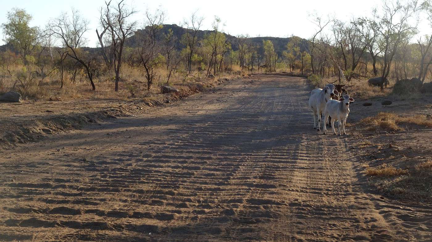
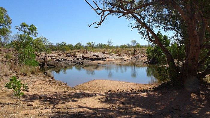
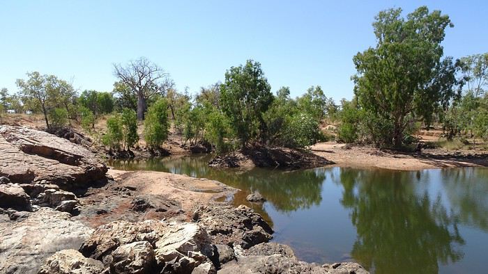
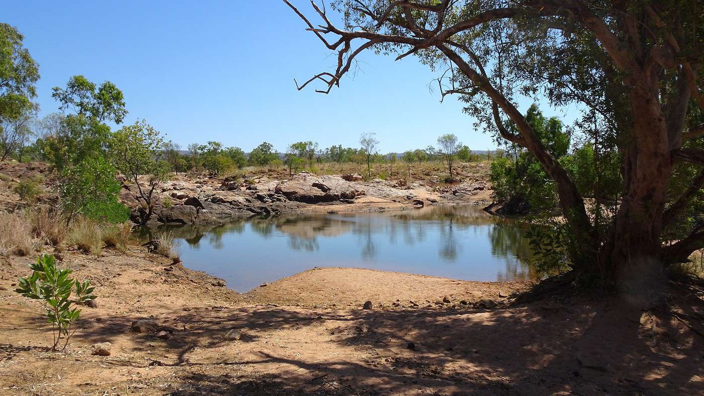
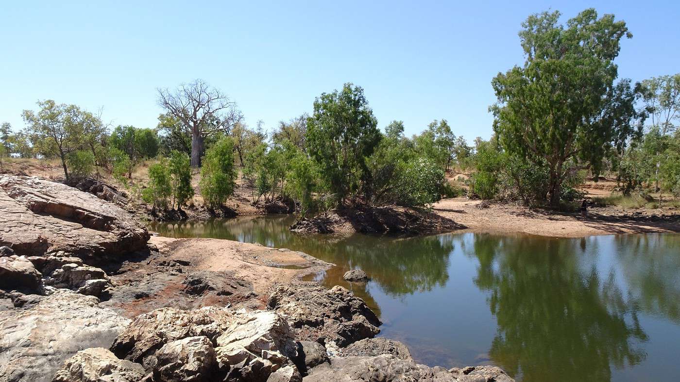
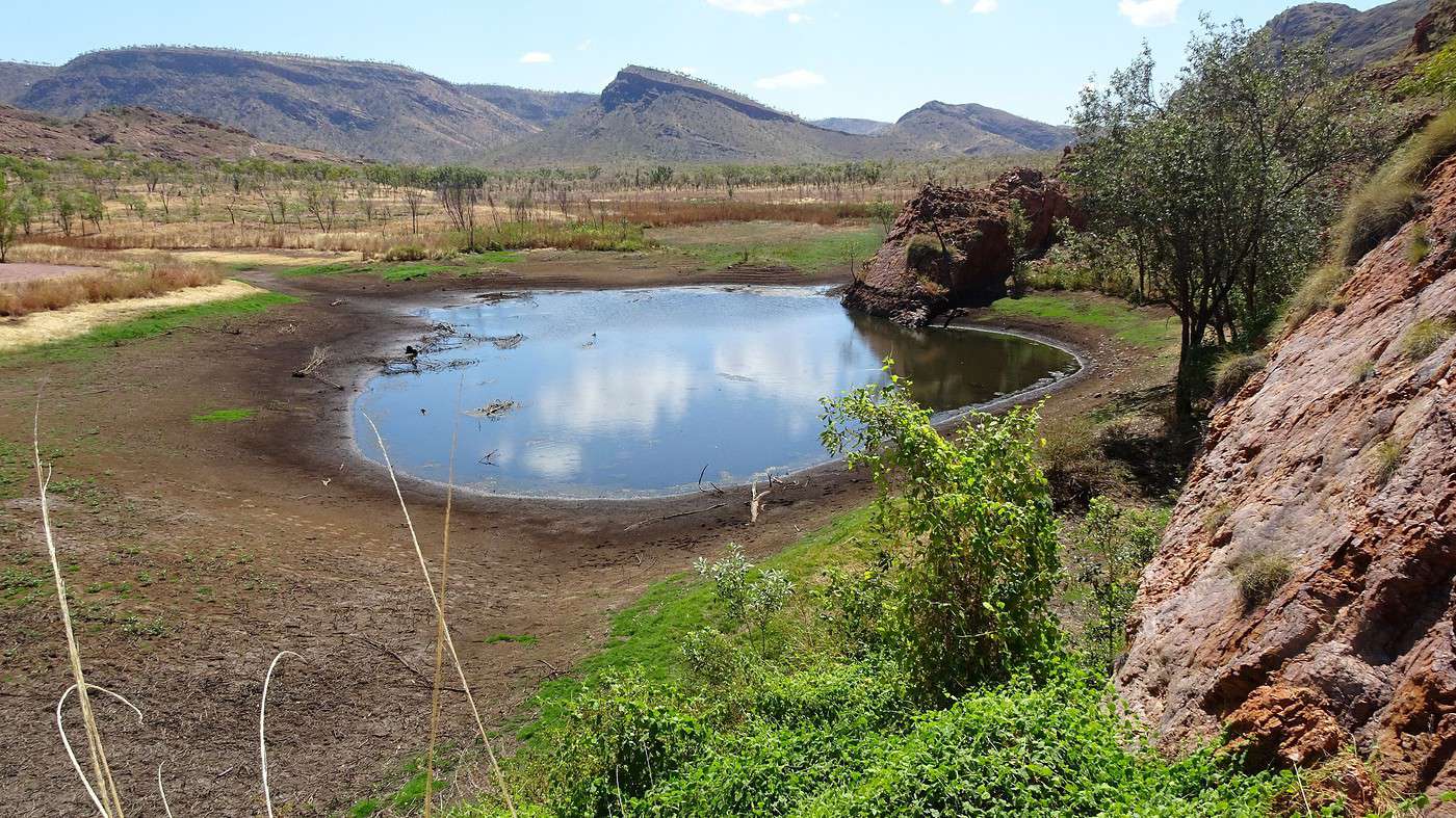
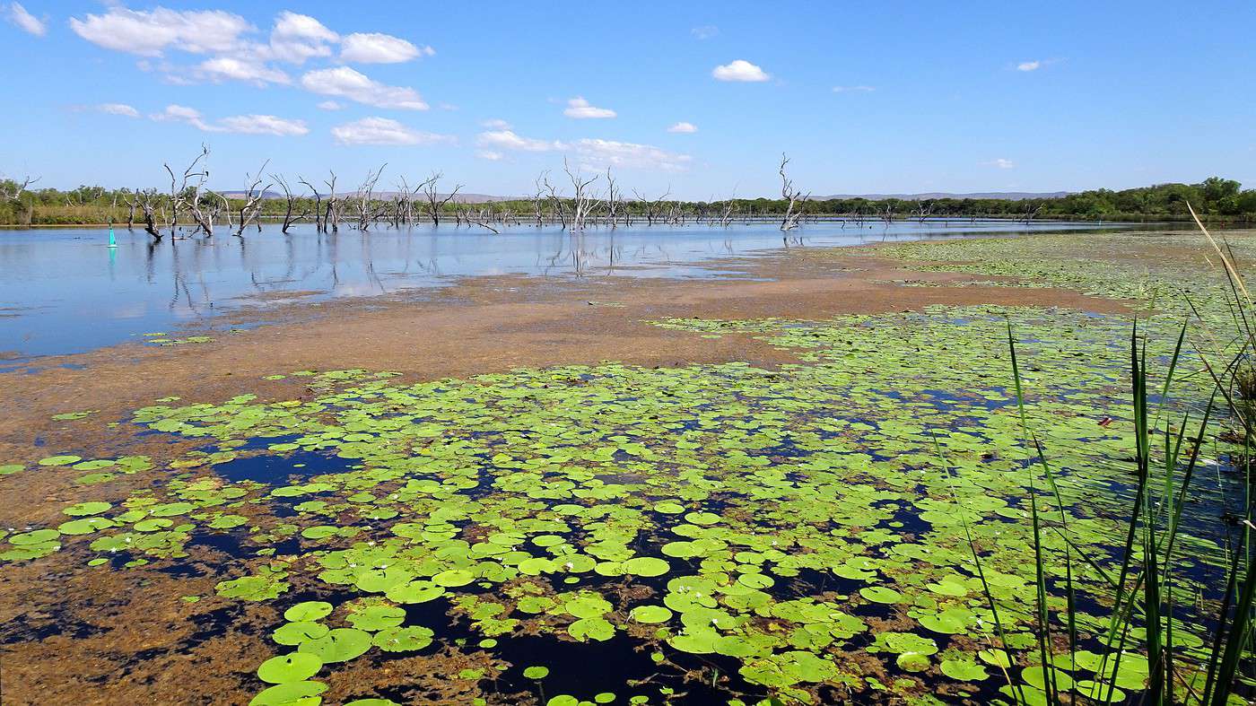
Valentine Spring turns out to be just a small, partly shaded pond, the remnants of a once-turbulent river. We scare off a family of cattle soaking their hooves near barely adolescent baobabs.

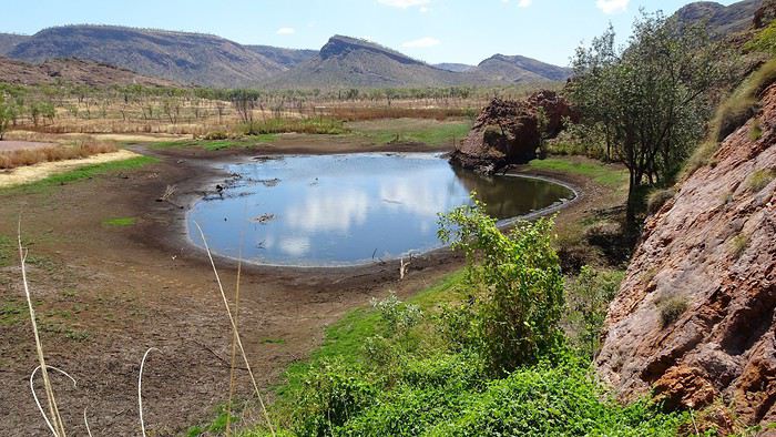
I stretch my legs by hopping across the smooth, slippery rocks forming the riverbed—no doubt a lovely waterfall in the right season. Here and there, a few puddles remain, and even more surprisingly, some are home to fish. How do they survive in so little water, and warm at that?


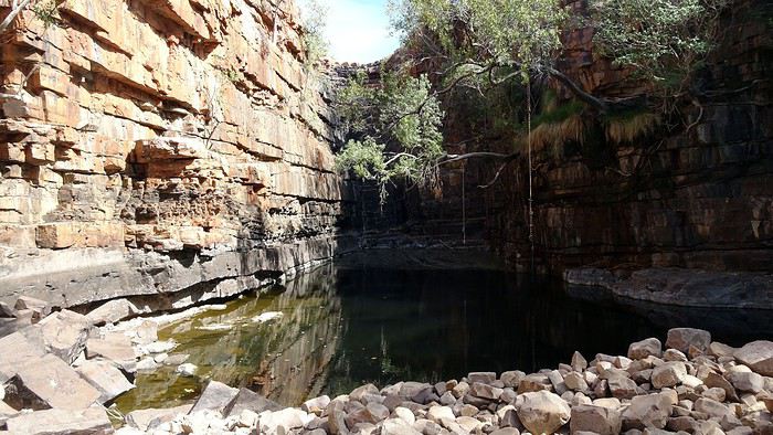
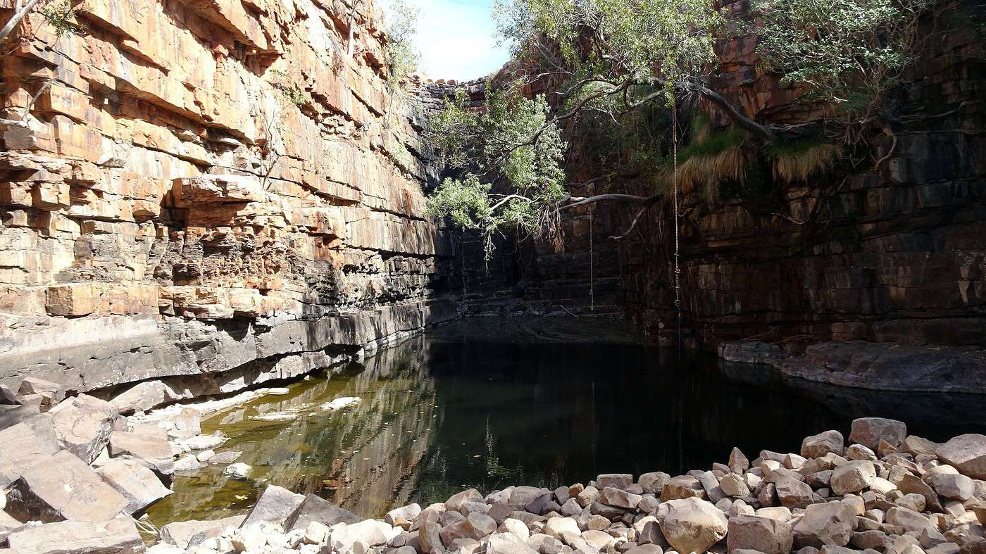
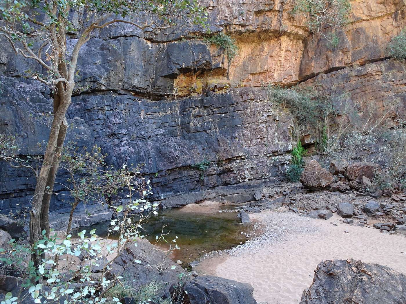
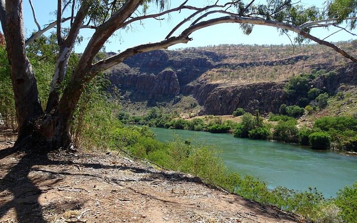
To reach Black Rock Pool, you take a narrow track leading to a cliff hidden by vegetation along the Livistona Range. At the end of the track, a path scattered with pebbles and roots leads to a wooded area littered with rocks you have to climb before discovering a water basin at the base of a fifty-meter-high cliff. Its black color (hence the name!) contrasts with the red and ochre hues of the surrounding rock and the green vegetation hanging from the top. Water seeps from the rock even during the dry season, constantly feeding the pool.

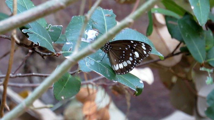
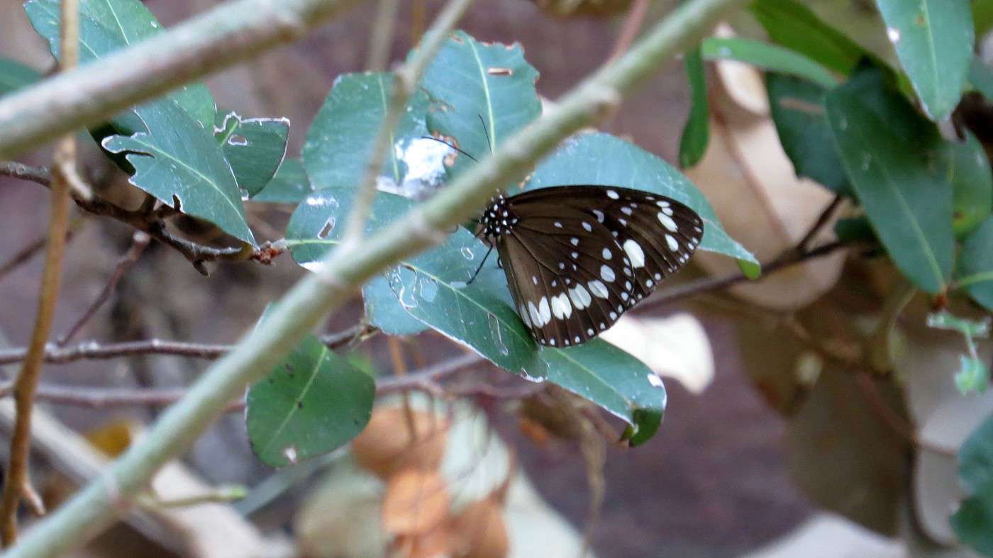
But the most unexpected (and extraordinary) sight is the hundreds of butterflies (Euploea core), all identical, fluttering everywhere. Their sheer numbers are due to the host plants for their caterpillars never lacking water here—and more importantly, making them toxic, so they have no predators.


This beautiful spot, also called Ngamoowalem by the Miriwoong traditional custodians, is a local favorite—the waterfall that appears at the start of the rainy season is the first in the area, and the pool is one of the deepest.

Happy we made the detour, we head back toward Kununurra and cross the Ord River. We arrive just in time for a late lunch. We take the opportunity to visit the Tourist Office and the supermarket before heading to Lake Argyle Village—which, as the name suggests, is a village on the shores of the lake of the same name.


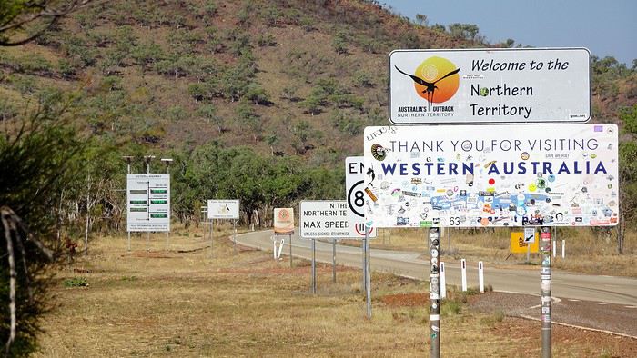
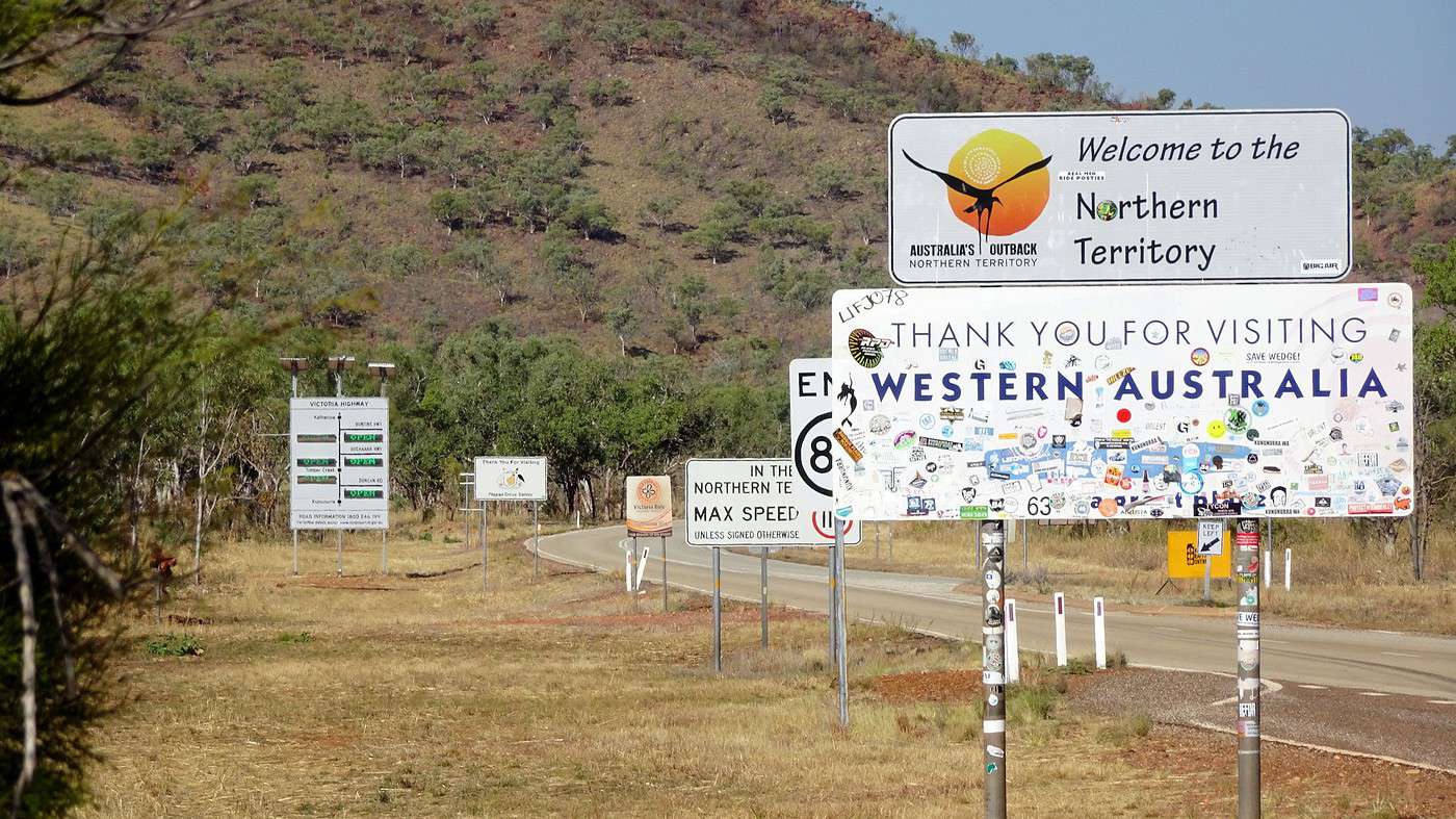
After a quick detour to see the border between Western Australia and the Northern Territory (I can’t resist!), we arrive at the Lake Argyle campsite in the late afternoon to check into our bungalow and, of course, take a dip in the famous infinity pool overlooking the lake. Wow—the water’s cold, but the view is stunning.

Ry even finds time to organize a boat tour for tomorrow morning—no easy feat, since most tour operators have temporarily shut down due to a lack of tourists.

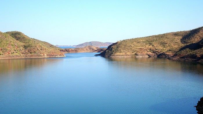
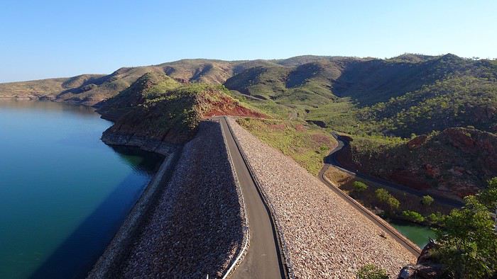
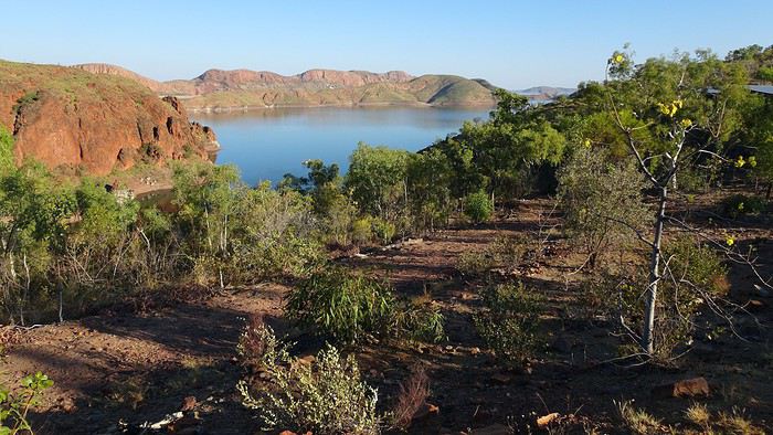
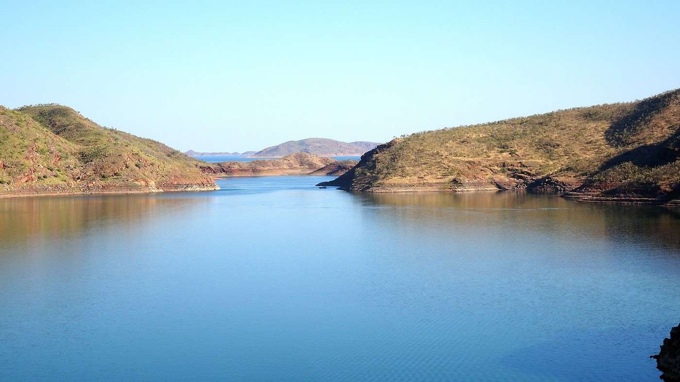
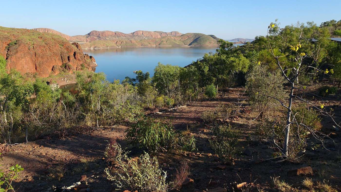
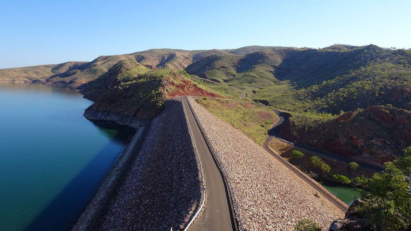
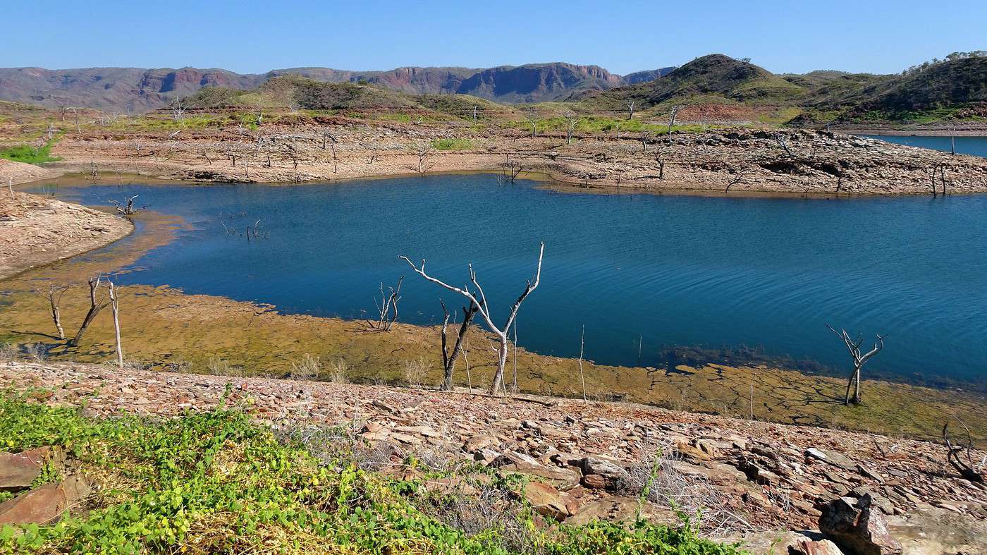
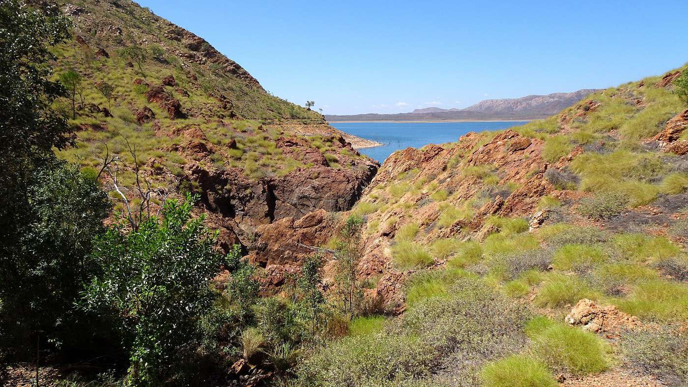
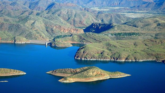
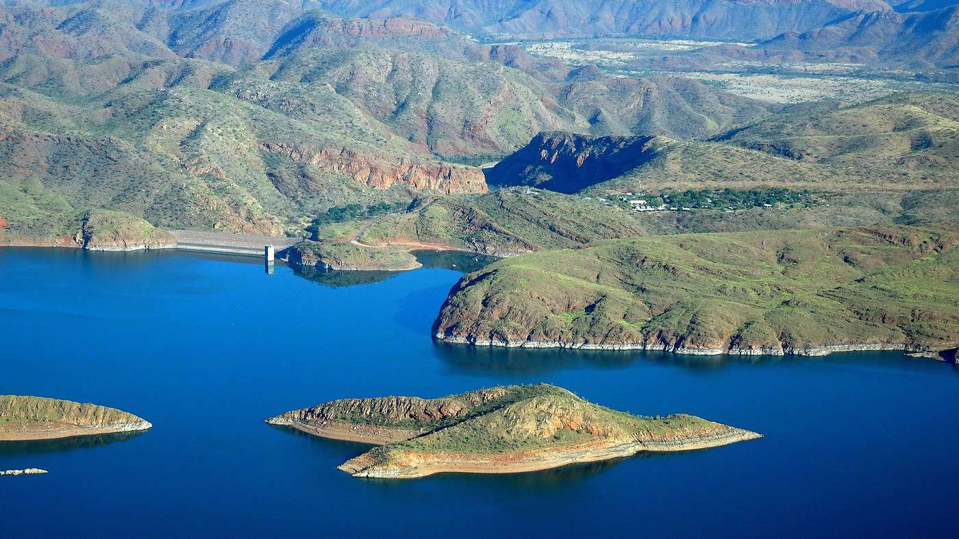
All that’s left is to head to the viewpoint on the hill next to the dam to see the lake—or at least a tiny part of it. It’s so massive! Some years, its surface area is as big as Singapore! How can such a small dam hold back so much water?


We won’t be seeing the sunset tonight—the west is blocked by a series of hills—but the show unfolds right in front of our bungalow as the rocky slopes keep turning red… before fading into the night. Then the spectacle moves up into the sky.


But first, intermission—we’ve been warned the restaurant closes at 7 PM. !!!

To the Top West End

Voyajou · 2020-09-18

Reading you is a double torment. First, these borderless spaces—or so distant—while we’re not safe from seeing our horizon shrink back to a single kilometer. And then, those bumps you complain about, which I miss so much (and here, everyone’s crying chaos). Thanks anyway for the escape (I’m a masochist 😉).

P.S. Do you happen to have any photos of the Top West End towns, just for the vibe?

As my partner says: «We’re gonna miss the bistros!»...

To the Top West End

Xrctn · 2020-09-18

Reading you is pure torture.

Your turn now!

First, these borderless spaces,

Not quite!


Don’t you have any photos of the Top West End towns for the vibe?

Google Street does that really well!

Wyndham Kununurra Warmun

As my partner says: "We’re gonna miss the cafés!"...

There’s this one at Wyndham Port


To the Top West End

Calyssie · 2020-09-20

... some passionate reading about this country with its many extraordinary facets

Hello Dolma, you can add to your reading list Albert Facey (*A Fortunate Life*), Sally Morgan (*My Place*), Xavier Herbert (*Capricornia*), and even D.H. Lawrence (*Kangaroo*), Mary Durack (*Kings in Grass Castles*)... etc. However, I’m not sure if all these books are available in French. I was recently recommended *The White Savage* by François Garde... I’m looking for it!!!

And then I think of my friends Lyn & David, who have been patiently waiting for so long to show me their country...

They’ll need a little more patience, but I hope you’ll surprise them!

...on a map that just won’t fold back properly

Oh, absolutely not! !

Hi Xavier,

I’ll add Kenneth Cook to the list of authors with his book *The Killer Koala*, published in French as *Le Koala Tueur et autres histoires du bush* (Autrement editions). These short stories are funnier than the last, inspired by his adventures across Australia.
Thanks for this travel journal—I really enjoyed it. Guaranteed change of scenery! 😊

Calyssie

To the Top West End

Xrctn · 2020-09-21

Wednesday. 6:00 AM. We’ve definitely settled into the Top West End rhythm! Not really my choice, but we’ve got a meet-up with Tim at the dock in half an hour. Breakfast downed, face slathered in sunscreen, camera in my pocket, and hat on my head—I’m ready, same for Ry.
No trouble finding the meet-up spot—there’s only one access point to the lake: this tiny gravel beach at the bottom of a pretty steep descent. Tim, our young skipper, gets us on board a boat that can hold about thirty passengers, but since no one else showed up for this morning cruise, we’ve got our pick—port, starboard, bow, stern?! Right in the middle under the canopy works perfectly.


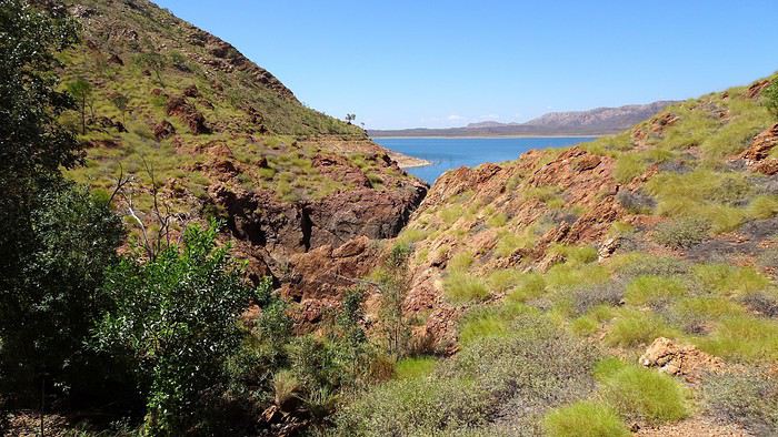
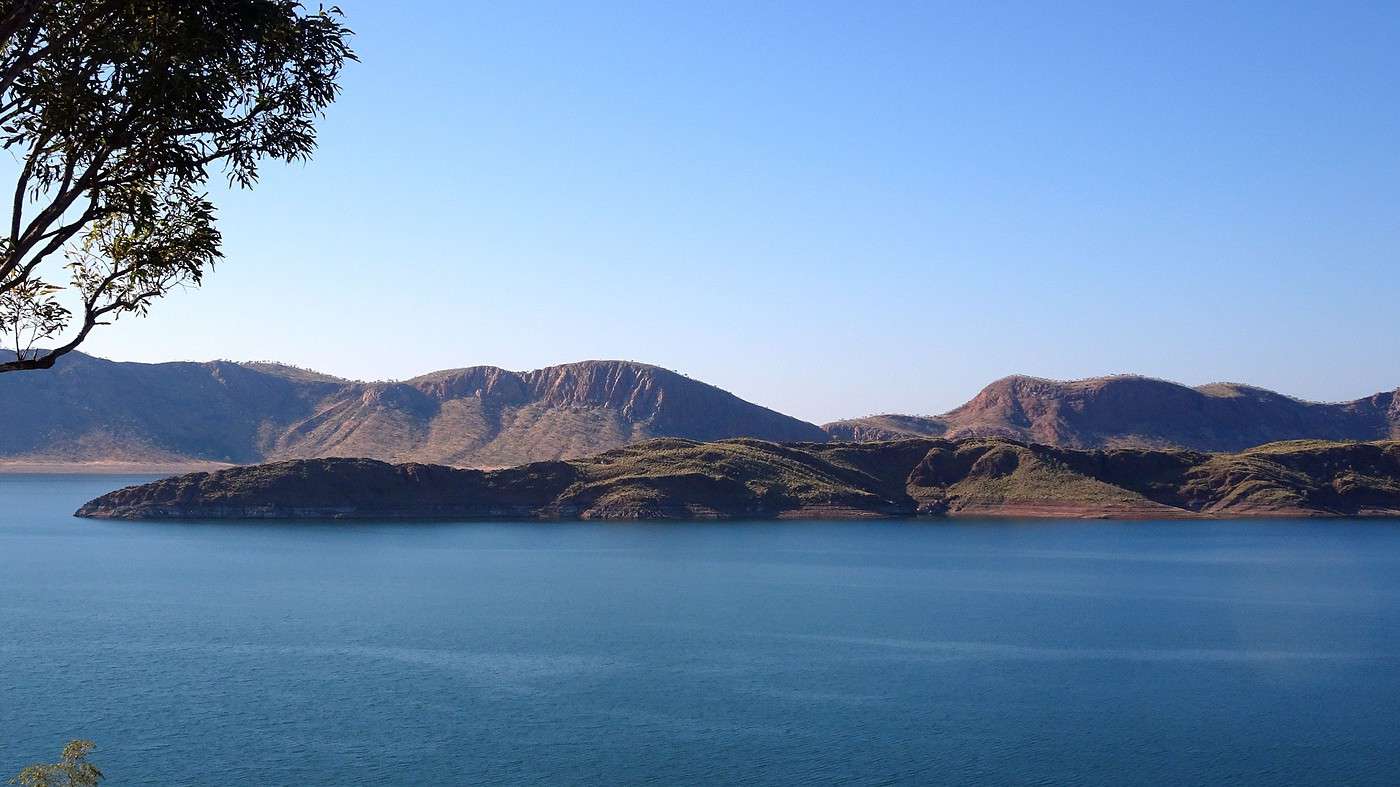
As we cruise along the exposed shores, Tim shares some stats about this vast body of water and then tells the story of the lake, which began in 1972—the year the dam was inaugurated—and why it was built.

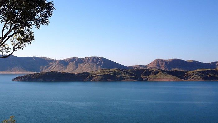
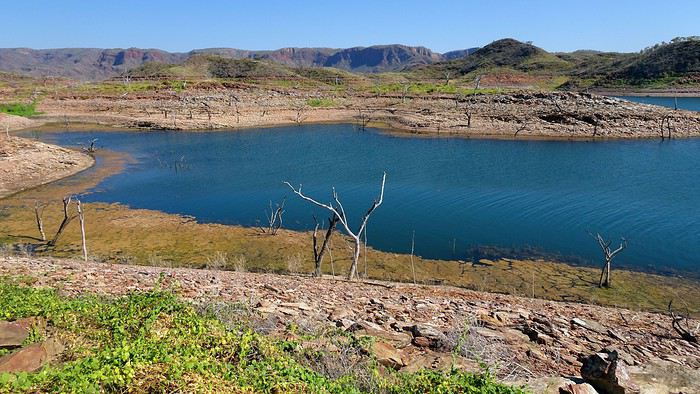
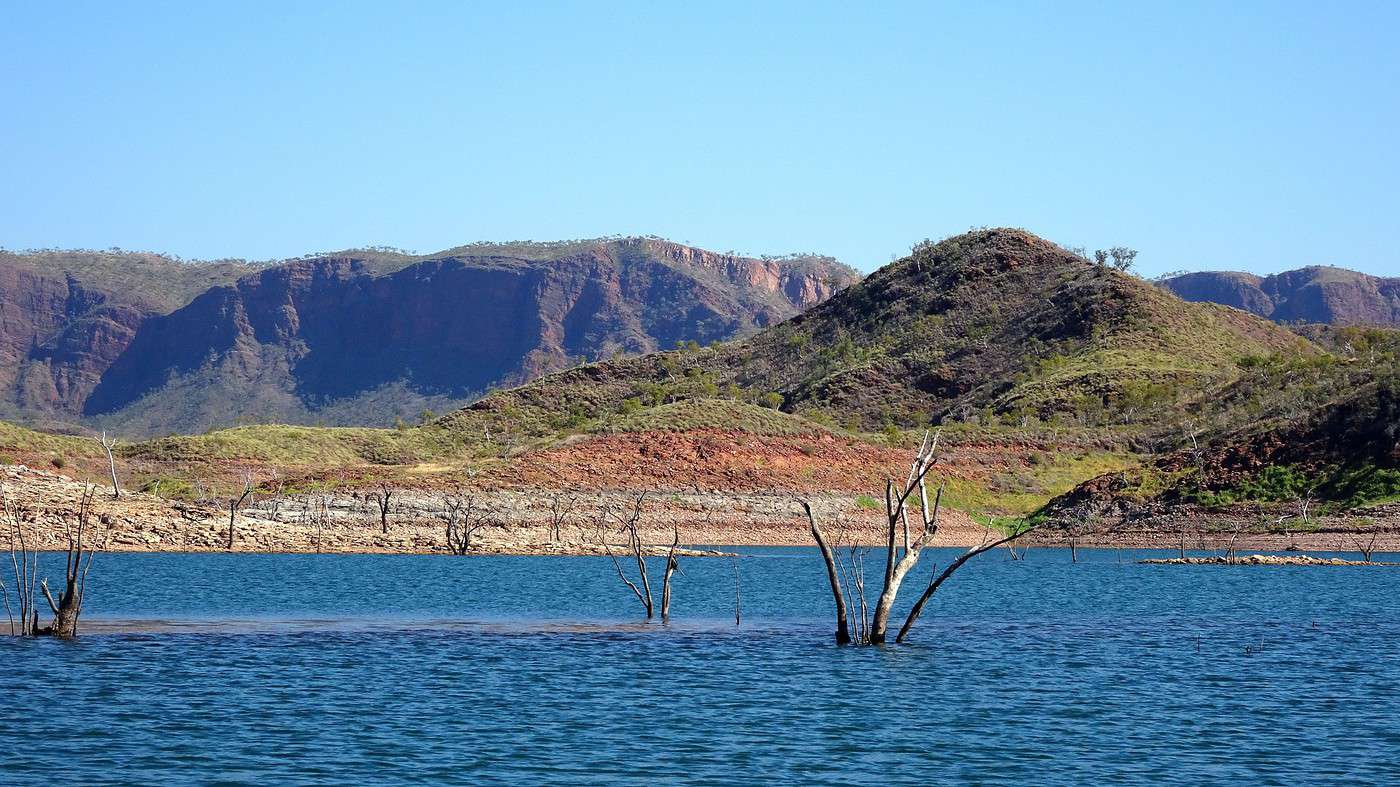
First, the numbers: the dam (335 meters long and 98 meters high) holds back about 5,800 gigaliters but could hold up to 35,000! As for the lake’s surface, it’s usually around 1,000 km² but could be more than double that. Right now, the lake stretches about 70–75 km long and 30–35 km wide, though its size fluctuates quickly depending on the number and intensity of cyclones. The same goes for the number of islands in the lake—some appear or disappear depending on the water level. Normally, there are about 70 islands, varying in size and appearance: sandy or pebbly beaches, covered in vegetation or barren, swampy or rocky, etc. Finally, the population of freshwater crocodiles (so they’re friendly) is estimated at 22,000, with 26 species of fish and 270 species of birds (full list here).

The story begins around 1880 with the arrival of the first pastoralists searching for new grazing lands. They came from Queensland, leading massive herds after a journey of over two years. They started by building small wooden and earthen dams mainly for livestock but also with the idea of developing tropical agriculture.

After the drought that hit between 1935 and 1942, the first irrigation experiments were attempted, and a tropical agricultural research center was created. The initial plan was to grow rice, cotton, and sugar for export to Asia! While the local government was quickly convinced of the project’s feasibility and viability, they still needed to secure additional funding from the federal government.

In 1959, the Ord River Irrigation Scheme was launched, and its first phase began with the construction of the Diversion Dam on the Ord River (inaugurated in 1963). The old natural waterhole (Carlton Reach) disappeared under the new artificial lake, named Kununurra Lake.

In 1960, the town of Kununurra was established to support the farmers settling in and the surrounding Aboriginal communities. By 1966, there were about thirty farms, most growing cotton. However, despite the excessive use of pesticides, pests drastically reduced expected yields, and with falling prices, cotton farming was quickly abandoned. The same happened with rice—this time, the problem was birds eating the seeds before they could grow! Fortunately, sugarcane farming didn’t face the same issues.

The second phase of the project began in 1969 with the construction of the Main Dam, the one holding back the lake we’re cruising on. The dam was inaugurated three years later, and thanks to a couple of particularly rainy seasons, the lake reached its maximum level in less than three years.

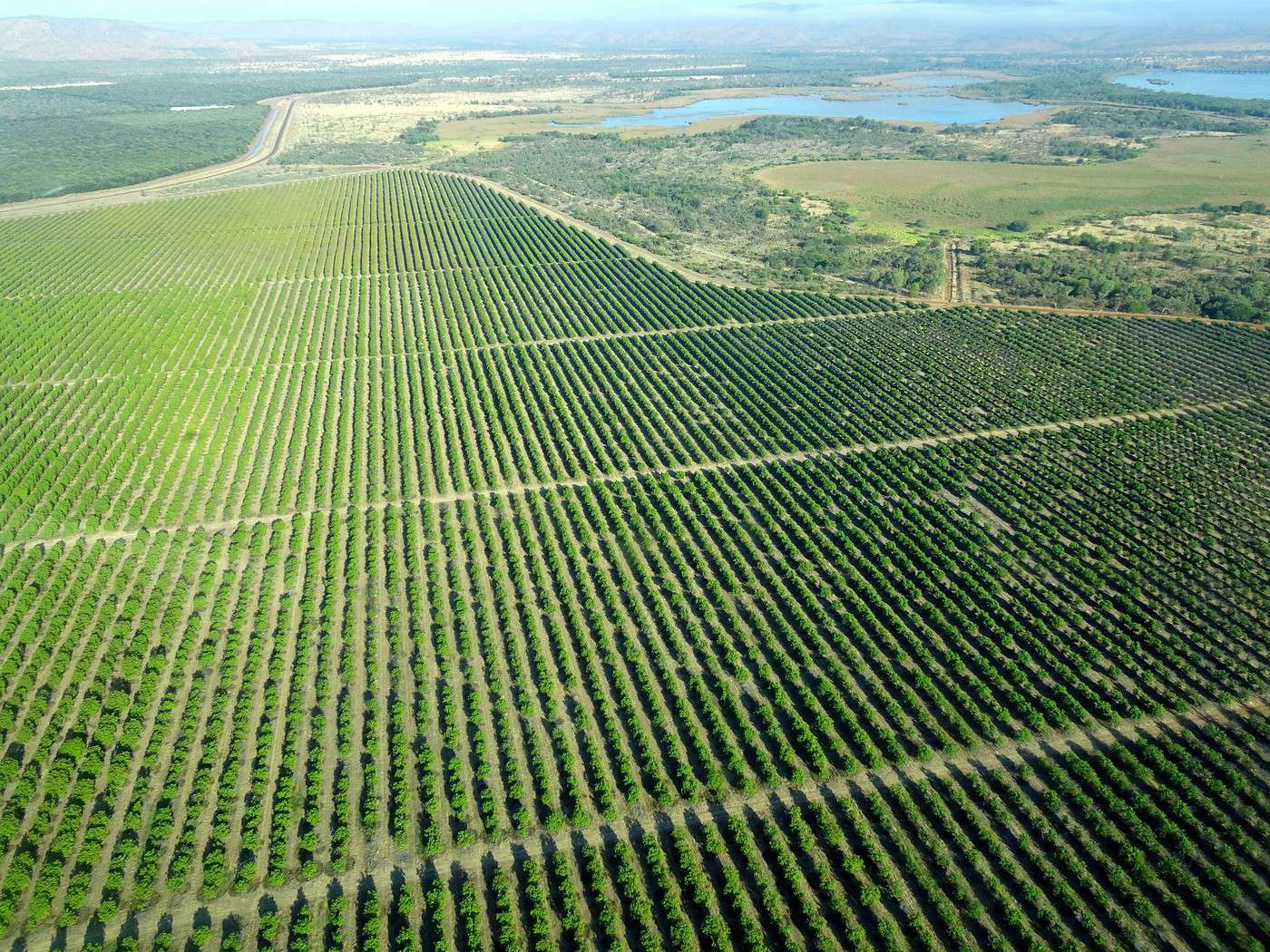
Today, over 117 km² are irrigated, and the area is expected to reach 400 km² in the near future. There are now more than 60 different crops, but the most profitable seems to be Indian sandalwood, used in perfumes and cosmetics. Since 1995, a small hydroelectric plant has supplied electricity to the region and some nearby mines.

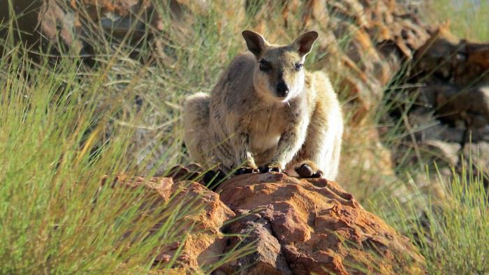
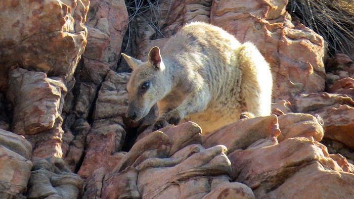
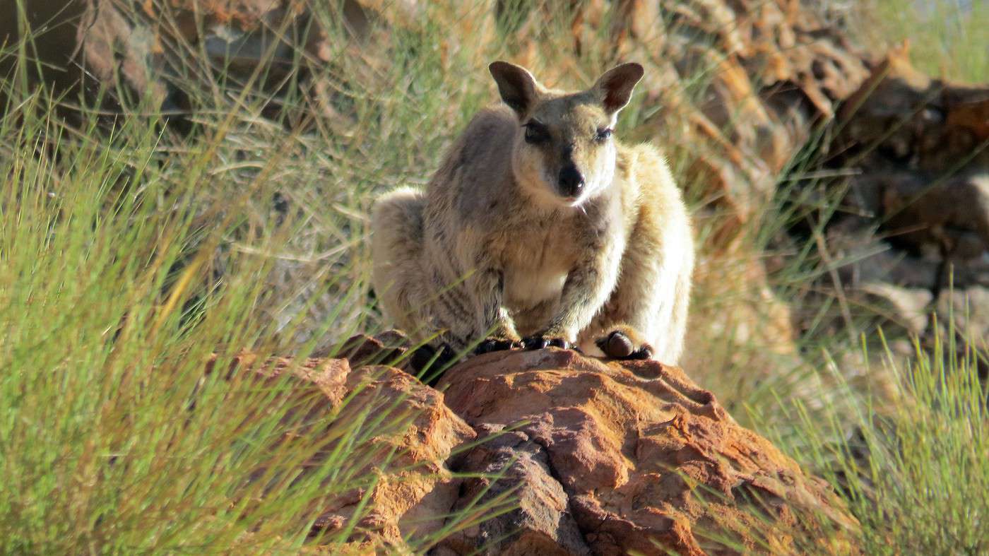
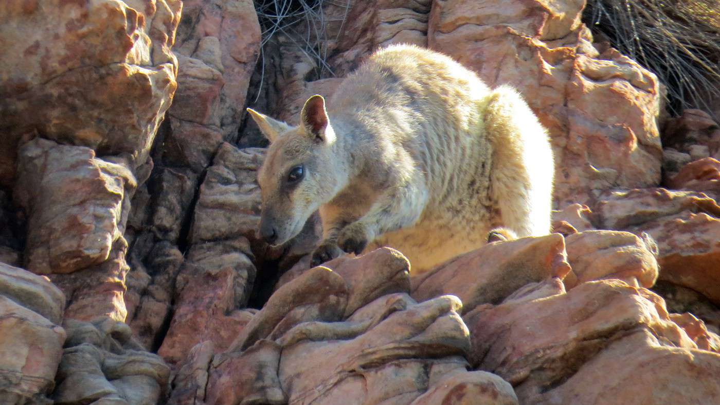
We approach the shore, where Tim spots a rock wallaby among the boulders—a small kangaroo species particularly adapted to rocky habitats. Unfortunately, it’s endangered (mainly because of feral cats!). Tim turns off the engine and lets the boat drift toward the bank. We scan the pile of rocks carefully but don’t see anything at first. Finally, after a long while, we spot a small animal hopping around before freezing to watch us for several minutes. Its long tail and slender profile set it apart from its cousins. Soon, it’s joined by its companion (or mate), which descends the small cliff with astonishing ease and agility.


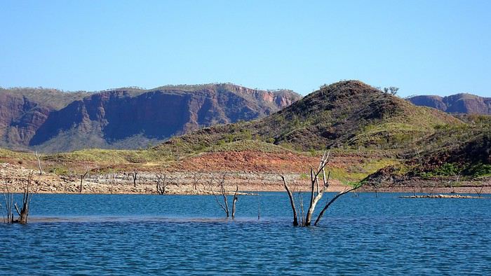
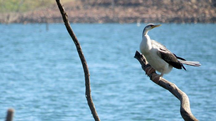
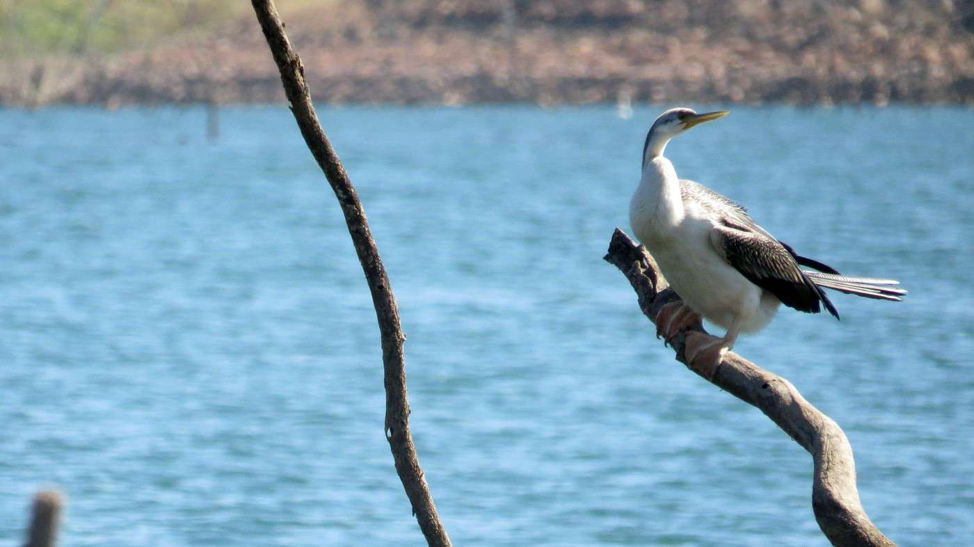
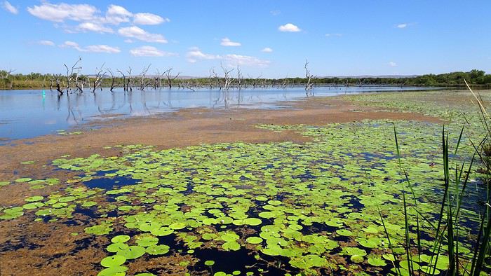
We circle several islands surrounded by tree trunks emerging from the water—after such a long time submerged, their wood has become petrified. On the branches, birds spot fish they’re about to catch.

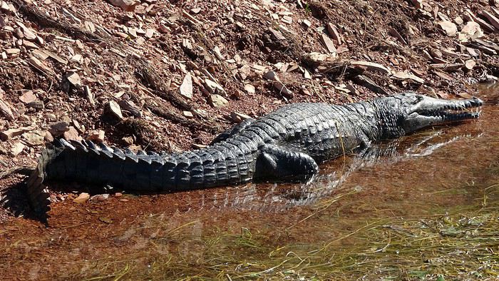
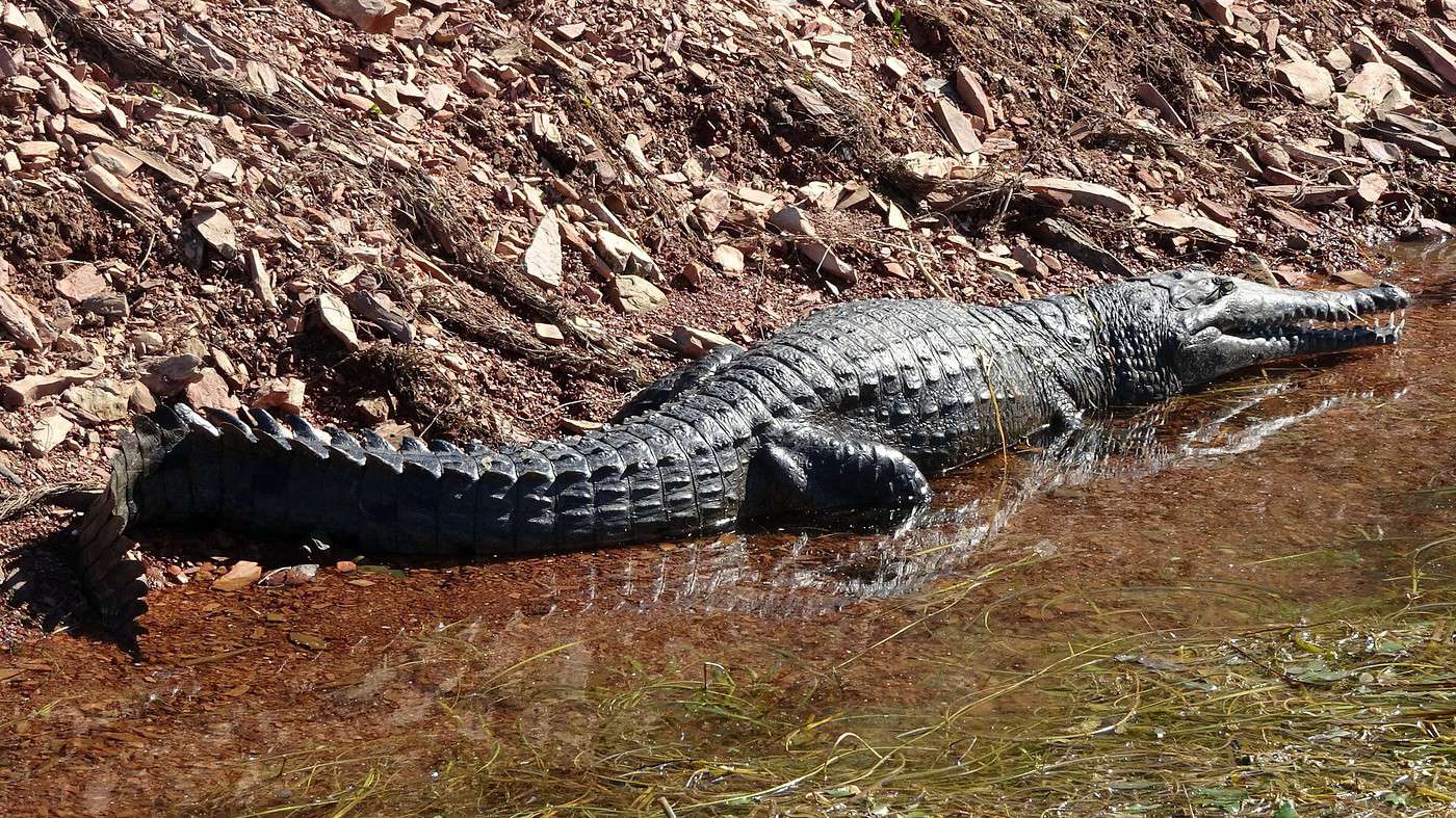
Further on, we see the first ‘freshies’ (freshwater crocodiles, endemic to Australia) basking in the sun. Much smaller (2–3 meters max!) than saltwater crocs, these are harmless because their long, narrow snouts can’t open as wide as their ‘salties’ cousins. Still, I’d rather not dangle my hand in the water.


We leave the peaceful little bays and pick up speed to reach the other side of the lake, where a string of islands covered in vegetation lies. According to Tim, this is also the best spot to catch the biggest fish. Fishing seems easy—he just waves a slice of bread over the water, and hundreds of fish swarm around the boat. Absolutely incredible. He also tells us that in a corner of the central part of the lake, there are experimental fish farming projects.


Speaking of farming, he also mentions a more or less recent attempt to farm… spiders! American researchers noticed that some local spiders wove webs with such strong silk that it could be used to make bulletproof vests. They started breeding spiders but eventually had to abandon the idea after realizing the females had a habit of eating the males after mating! Colleagues later found a ‘better’ solution: genetically modifying goat milk!?—see the video.

At our skipper’s insistence, we approach a cluster of submerged trees whose branches are covered in those famous spider webs. Hmm, I’d rather explore one of these little islands and play Robinson Crusoe for a bit.

On the way back, we spot some beautiful migratory birds, but the most interesting ones are apparently in the far south of the lake, near the mangroves and marshes. Another reason to come back another time—and for longer! After this all-too-brief but fascinating excursion, we’re back on solid ground.

We spend the rest of the morning on the other side of the dam, in a shady spot by the river at the foot of the imposing wall. Though access to the river is closed (for safety reasons!), we discover that the shaded area is perfect for birdwatching. A real ‘miraculous catch’ for those with the right gear! Unfortunately, we’re not equipped… Maybe something to ask Santa for!


No luck—the historical museum at Argyle Homestead is closed. Moved and rebuilt stone by stone on the heights just before the dam was built, it tells the story of the Durack family, one of the first to settle here.

Strangely, no effort was made to preserve the many Aboriginal sites that disappeared underwater. In fact, Aboriginal people were never consulted about the Ord River Irrigation Scheme. Until 1966, their status was practically the same as flora and fauna.

After a quick stop at Deadhorse Creek, hoping to see more birds around a permanent rockhole, and a short walk through the tall grass (not a great idea) followed by a quick scramble over rocks for one last glimpse of the lake, we hit the road back to Kununurra.


To the Top West End

Xrctn · 2020-09-22

Total lack of imagination since we’re spending our last night of this admittedly too-short getaway at the same motel. We’re going to picnic at Celebrity Tree Park on the shores of Lake Kununurra.


This pretty park gets its name from the fact that many trees were planted by celebrities passing through Kununurra. Among all the commemorative plaques, the most famous (to me anyway!) is Nicole Kidman’s, who came here in 2007 during the filming of the movie 'Australia' Australia.

Despite the heat, a group of young women starts an intense aerobics session under the gazebo, on the dock further away, a grandmother launches her kayak, in the parking lot, two electricians (it’s written on their van) wolf down their sandwiches, and near the kids’ playground, a young couple is sweetly canoodling. In the background, the sound of a lawnmower—watching this gardener circle the trees and flower beds, he must already feel like he’s in Monaco as Daniel Ricciardo, another celebrity (wait, I don’t think he has a plaque here, does he!?).

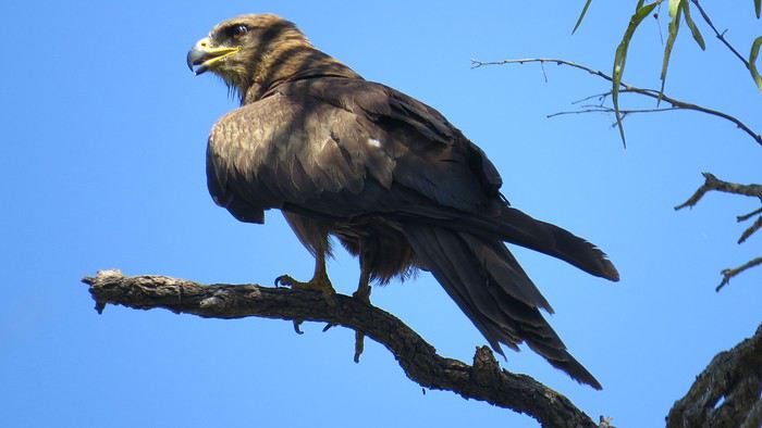
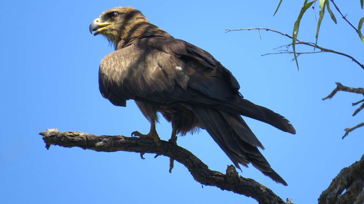
But all this activity doesn’t seem to bother the many birds present, both in the treetops and on the water. I even get a private show from a little eagle that doesn’t hesitate to strike a series of poses: shy, annoyed, fierce, indifferent, haughty, even cheeky.


It’s incredible to think that 60 years ago, this town didn’t even exist. In fact, they even had to come up with a name! Kununurra is said to come from the English adaptation of the word Goonoonoorrang, which in the Mirriwoong language refers to a spot on the Ord River. The word Cununurra was first used in the 1940s by geologists classifying the different clays near the river.

History doesn’t say why this name was proposed. However, it does explain why the C was replaced with a K: the post office representative felt that Cununurra was too similar to Cunnamulla (a town in Queensland) and, to avoid postal confusion, suggested changing the first letter. So, with a K, the ‘birth’ of the new town was published in the official gazette on February 10, 1961.
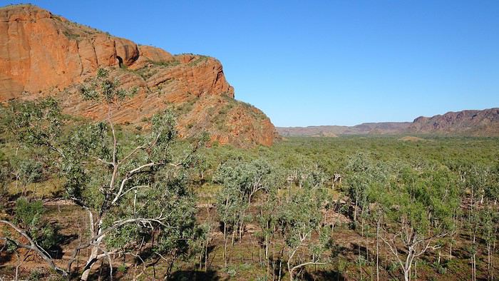
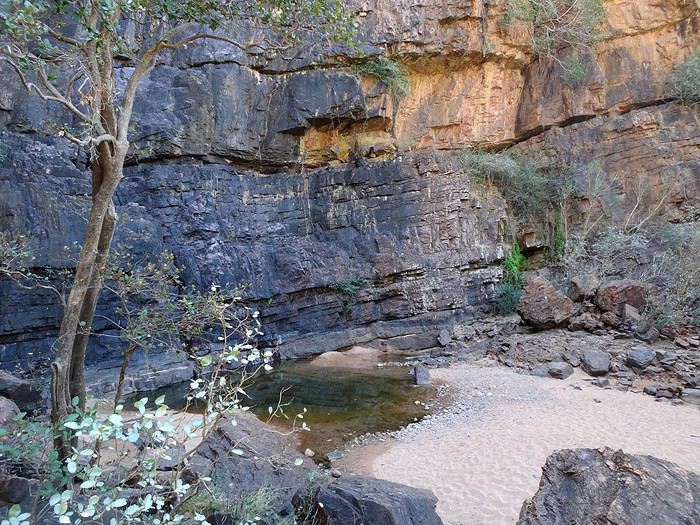
Over the years, Kununurra has become the most important town in the Kimberley. At the last census, the town had 5,308 residents, or just over 7,000 including nearby farms and communities. During tourist season and harvest time, the population can easily reach 10,000.

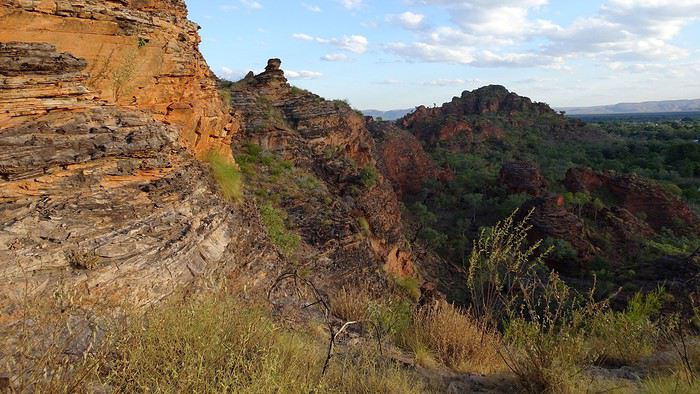
Now that the worst of the heat has passed (well, almost), we decide to visit Mirima National Park, located three kilometers from the town center. The entrance is right across from the cemetery! Called the mini Bungle Bungles, it features some 350-million-year-old sandstone formations that you can explore by following three short marked trails through Hidden Valley before climbing up to Derbde-gerring Banan, the highest point of the small range, offering a panoramic view of the Ord Valley and the town. For once, we’re here at the best time, when the rock takes on red hues.


Even better, today we arrive at the Pump House well before sunset. We celebrate our last tropical evening on the terrace overlooking the calm waters of the lake, sipping a delicious mandarin mojito!


Dinner at the Kimberley Grande, another pub in town, is less glorious, but the fish & chips does the trick just fine.

To the Top End

Xrctn · 2020-09-22

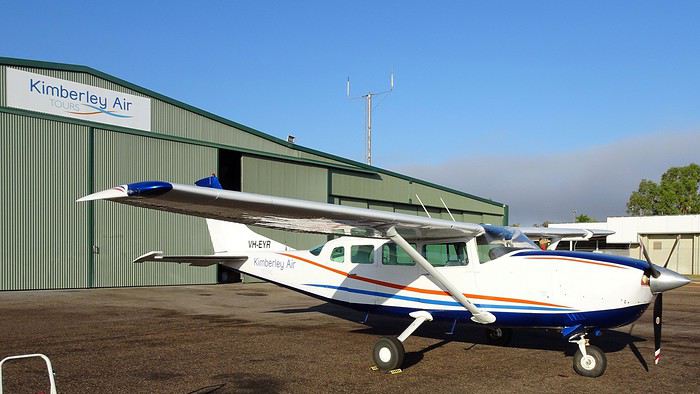
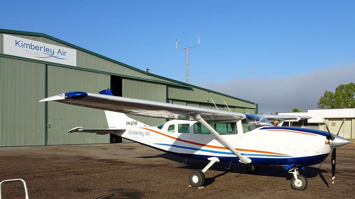
Thursday. 7:00 AM. Last day already! Heading to the airport, it’s the pilot himself who comes to pick us up at the motel to drive us there and then fly the Cessna we’re taking this morning to soar over Lake Argyle and the Bungle Bungles National Park for a couple of hours—places we explored a few days earlier. We’re flying with two other couples, just as excited as we are.


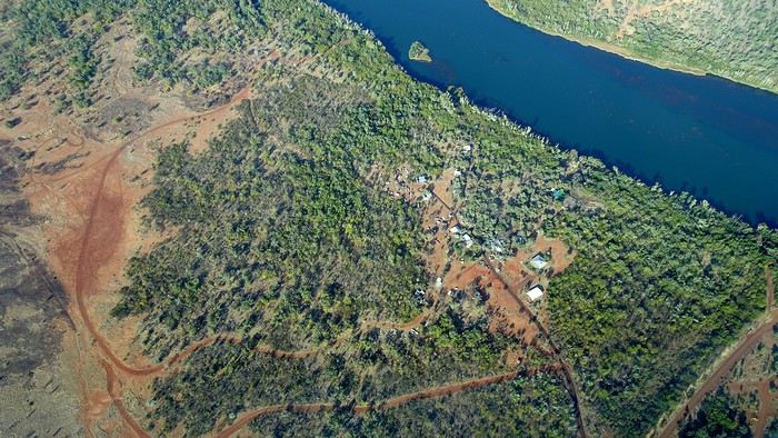
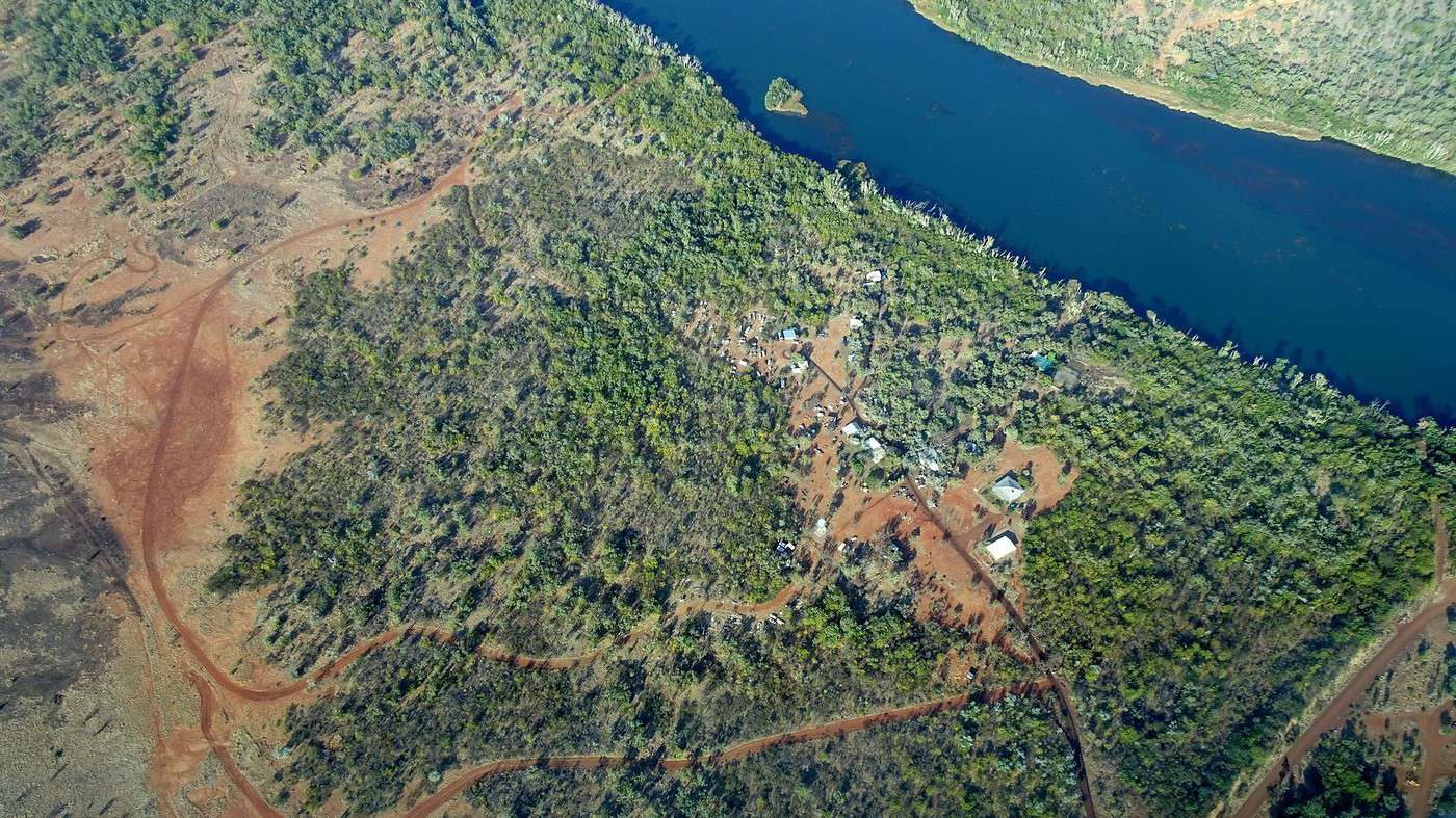
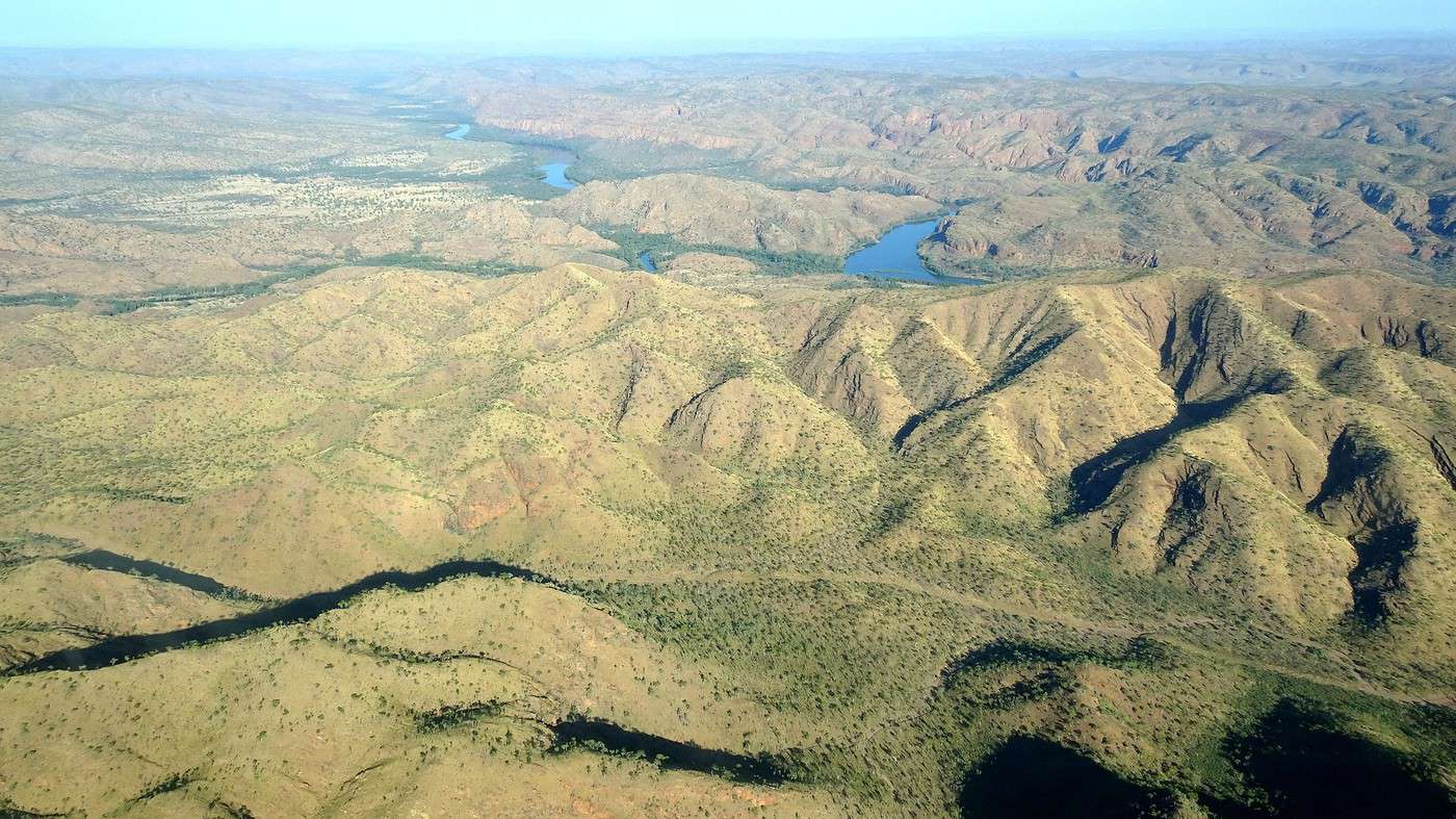
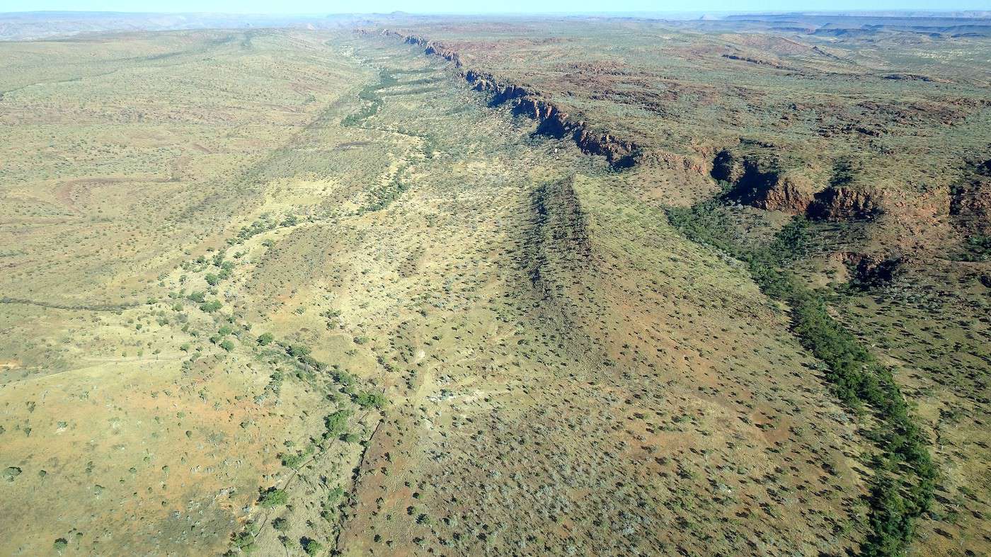
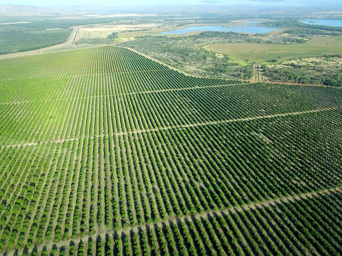
I’m in charge of locking the door—once my mission’s done, full speed ahead! The plane accelerates and takes off (phew!) and flies over vast mango and sandalwood plantations before turning toward the lake. We discover landscapes stretching to the horizon that we hadn’t imagined from the road—so vast and varied. We also fly over numerous Aboriginal communities scattered across the bush.
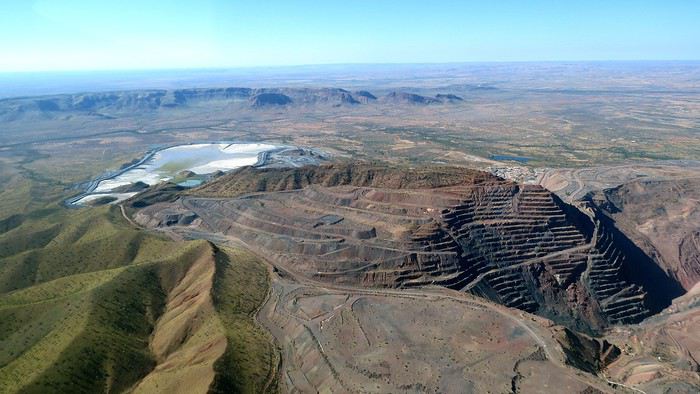
We follow the Ord River and quickly reach Lake Argyle. The dam looks tiny compared to the lake’s grandeur. We immediately recognize the bays and islands we visited yesterday morning and discover many more.

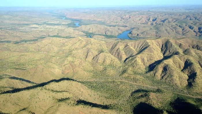
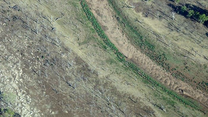
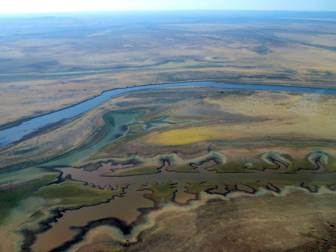
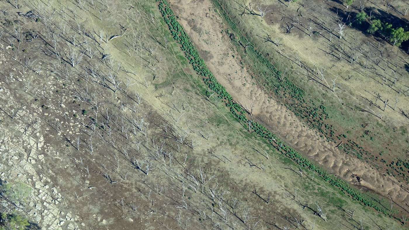
In some places, the meeting of water and land forms remarkable patterns in strange, unexpected colors. Further on, it’s the combination of vegetation, topography, and geology that creates surprises.

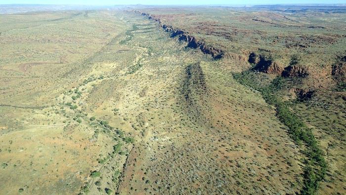
Mountain ranges, plateaus, the bush stretching to the horizon—from the sky, these landscapes take on an unsuspected grandeur. Lucky birds... or helicopter and small plane pilots!


But the highlight is definitely flying over the Bungle Bungles and that extraordinary maze of mineral towers and gorges we hiked a few days earlier. It’s incredible to think this strange rock formation was ‘rediscovered’ by chance in 1982 by a film crew shooting a documentary about the Fitzroy River, about a hundred kilometers to the south!


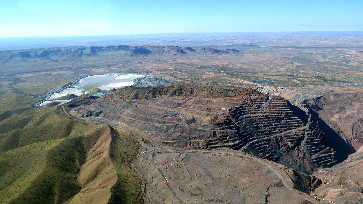
One lap, two laps, and it’s already time to head back, flying over the Argyle mine, famous for its pink diamonds, and then over isolated pastoral stations as vast as French departments. Here, shepherds round up their herds not on horseback, or even by motorcycle or quad bike, but by helicopter.


After a final flyover of Kununurra’s plantations and the Diversion Dam, we land, still dazzled by the magnificent spectacle.

The rest of the day is spent visiting various Aboriginal art galleries and a couple of workshops. Oddly enough, all the paintings I like are also the most expensive!

Before returning the car at the airport (after covering over 1,500 kilometers), we have one last thing to do: taste the local specialty—a huge mango smoothie under the mango trees, of course!

A few hours later, the pilot announces: « Welcome to Perth, the temperature outside is 12°C » Why did we have to come back? The End

To the Top of the West End

Dolma · 2020-09-23

What if The End of this travel journal was just the beginning of a few more about your adopted country? Now that’s an idea I’d love! You must’ve "dunked your croissant in a bowl of coffee" (oh, those French 😉) in other parts of Australia, right? So...

It’s been an absolute pleasure reading you, and I’d love to keep discovering this vast part of the world through your words and pictures.

Dolma

To the Top West End

Xrctn · 2020-09-23

It was such a real pleasure reading you, and I’d love to keep discovering this huge part of the world through your words and images.

Thank you! If you look closely, you might have found this account of an old train journey and then another one a bit more recent. As for the Australia photos, you’ll find them here

To the Top West End

Calyssie · 2020-09-24

Hi Xavier,

Just finished reading this travel journal that blends discovery and the history of the places. I especially remember the prison tree. Clever and unusual 😮. Thanks for this escape.

Calyssie

To the Top West End

Cathielescot · 2020-09-25

A huge thank you, Xavier, for this travel journal—I just discovered it and read it with great pleasure. Well done on the writing and the photos! It’s a fascinating and exotic journal for me, as despite my desire to explore Australia, I hesitate because of the distance. With age, I’m enjoying flying less and less 🙁. That’s also why your journal is so welcome 😎 !

To the Top West End

Marien33 · 2025-04-30

Hi Xavier, A fantastic travel journal I just stumbled upon completely by chance after the photo contest on the theme of fish. https://voyageforum.com/forum/poisson-theme-concours-photos-mois-avril-2025-d10703608-3/ I felt like reading your posts and getting to know you. I had immense pleasure reading everything in one go and traveling with you, completely changing my perspective. Thanks for the length of the text and the details in your story. The photos are stunning.

To the Top West End

Xrctn · 2025-05-01

Thanks! Oh, I see we’ve got January 26th in common!

To the Top West End

Marien33 · 2025-05-01

Thanks! Ah, I see we have something in common... January 26th !

Yes, but in India, there are actually three national holidays of equal importance—none is more of a national holiday than the others. - Republic Day: January 26th - Independence Day: August 15th - Gandhi Jayanti: October 2nd

VoyageForum — the largest community of French-speaking travellers.