Back to the discussion

in Entre deux voyages › Carnets de voyage

Exploring Senja Island and the Lofoten Archipelago

Discussion started by Orionide on 2025-11-02

33 replies

This thread has been translated into English.


Exploring Senja Island and the Lofoten Archipelago

Orionide · 2025-11-02

Hi everyone,

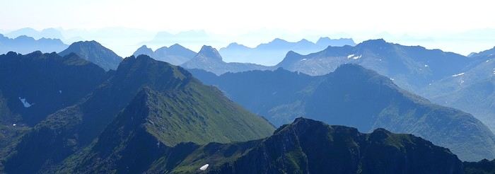
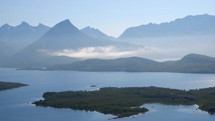
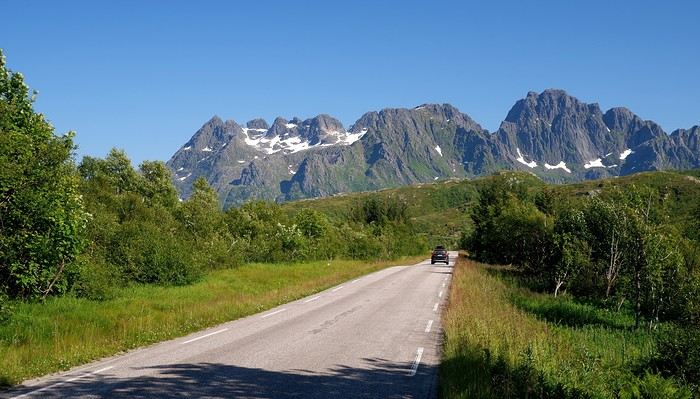
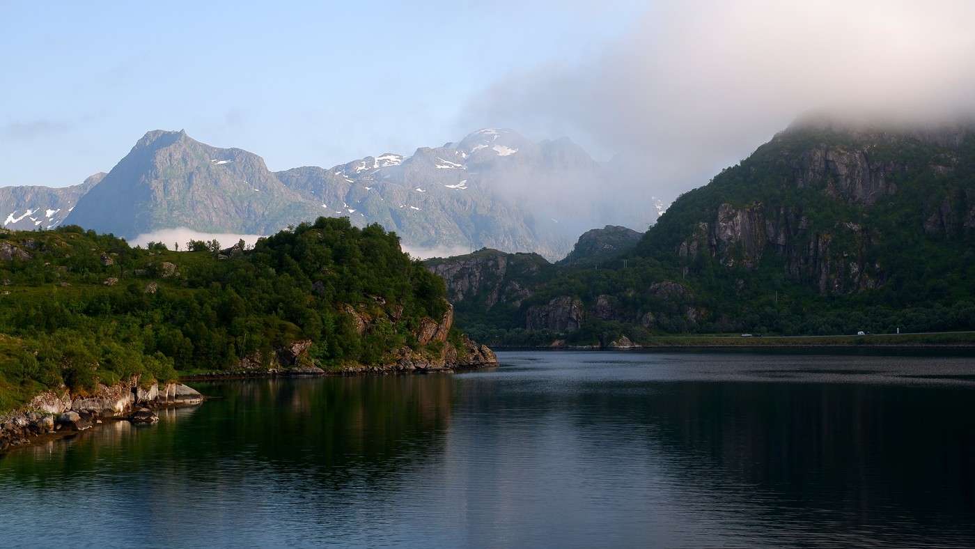
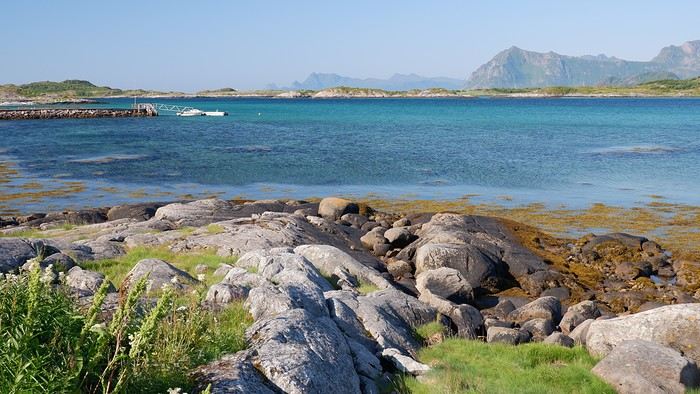
We traveled to Norway in the summer of 2025, from July 17 to 29, to visit Senja Island and the Lofoten archipelago with a rental car. The common thread of these twelve days was clearly hiking, along with a few visits and experiences, and nights spent in a tent or in the car (which made it possible). We chose Narvik Airport for both arrival and departure for several complementary reasons: the desire to visit nearby Senja Island, slightly more affordable airfare, and finally, the rental price of the vehicle—especially the car model we were looking for. We only made one reservation, for the first campsite, as sleeping in a tent made things much easier. But we had the whole structure of the trip planned, a flexible outline that could adapt to the weather conditions we’d encounter. Senja Island isn’t part of the Lofoten archipelago, and during the early stages of planning this trip, we hadn’t planned to visit it. But its relative proximity to Narvik Airport and, above all, its unique geography definitely made us change our minds. We arrived in Evenes, where Narvik Airport is located, nearly 60 km from the city itself. Our first stop was 40 km further in Bjerkvik on the way to Senja, where there’s a Rema 1000 (a very common supermarket chain in Norway). We needed to buy some food and a gas cartridge for our stove. I’d emailed the store manager beforehand, who told me they didn’t sell them but that the two gas stations in the village were likely to have some in stock.

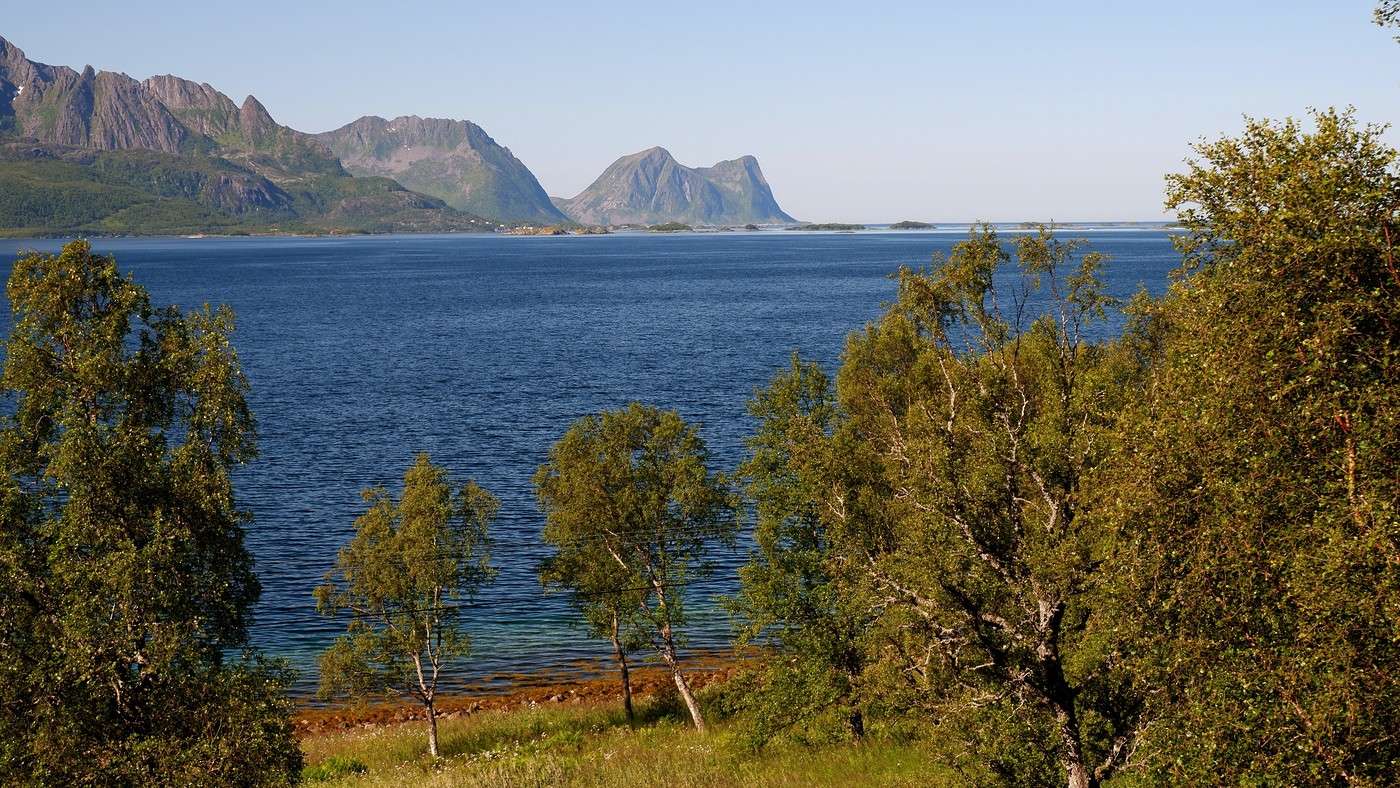
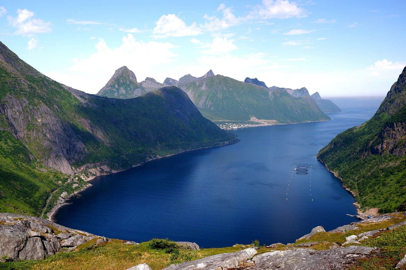
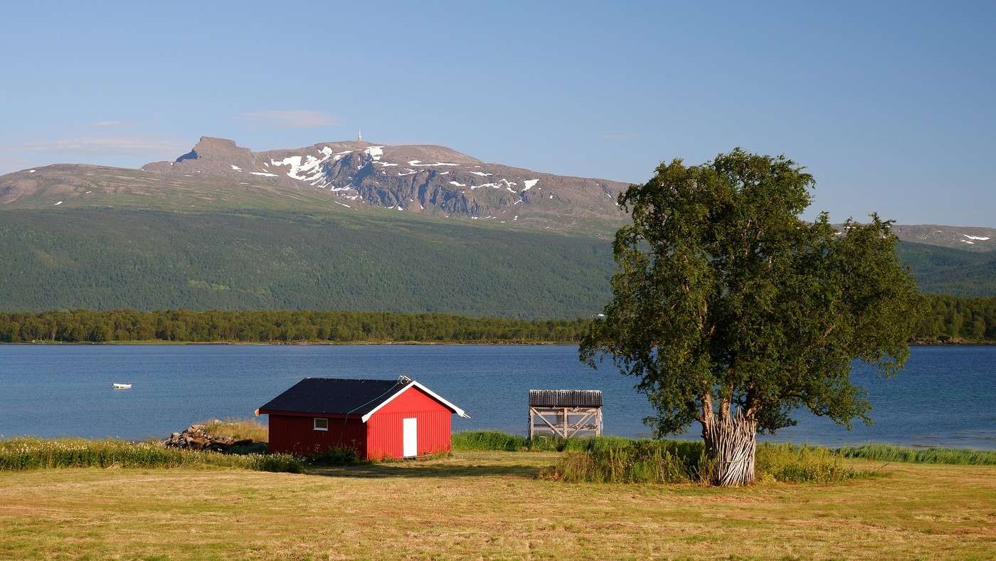
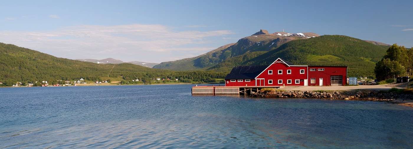
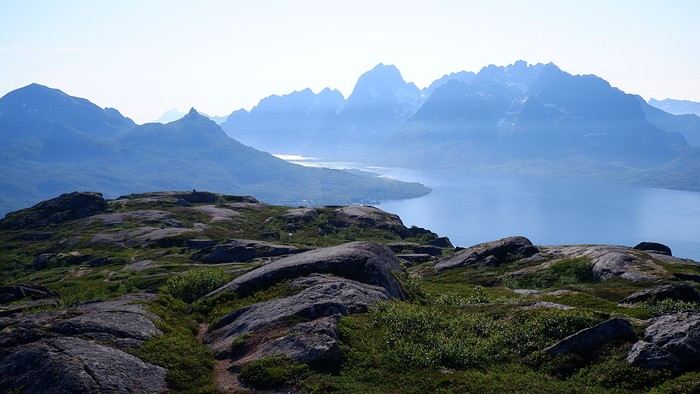
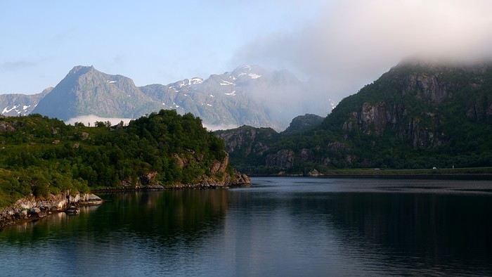
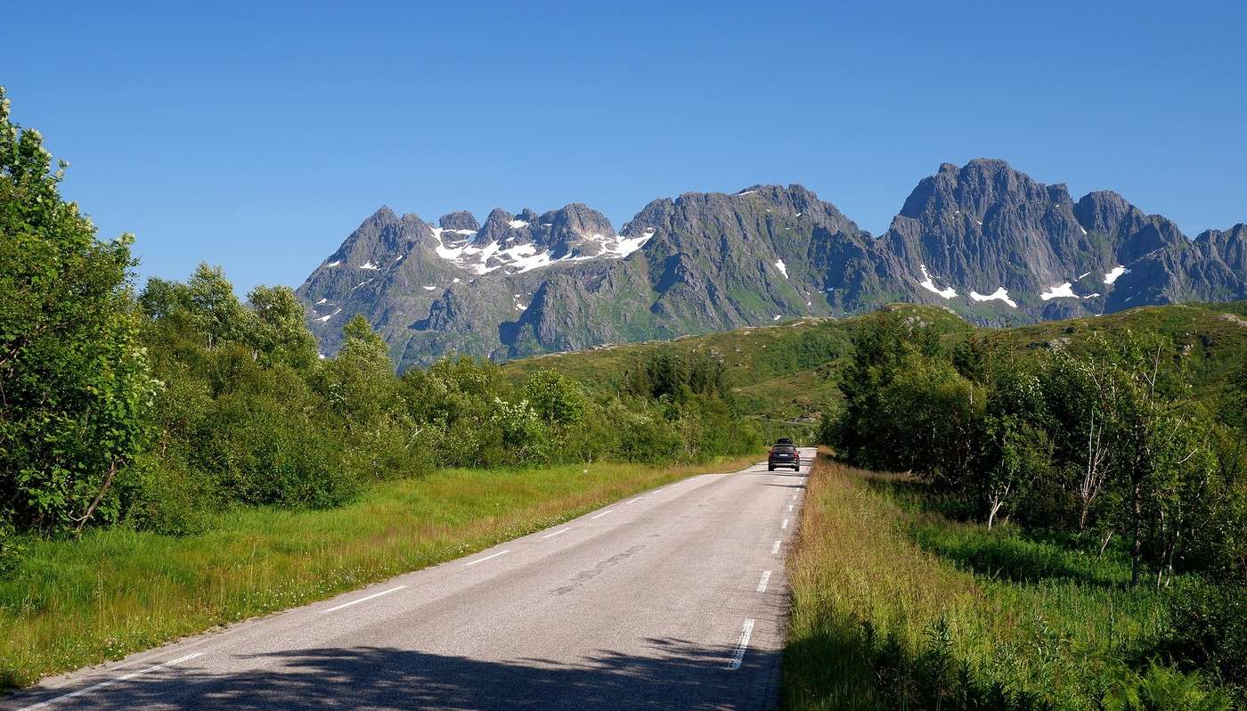
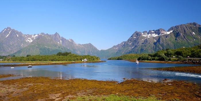
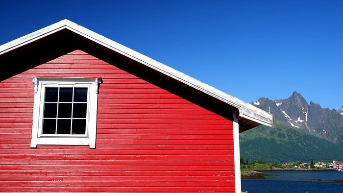
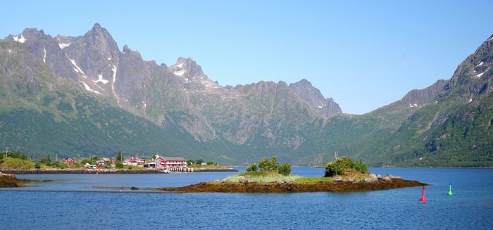
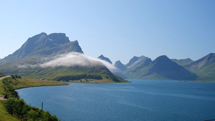
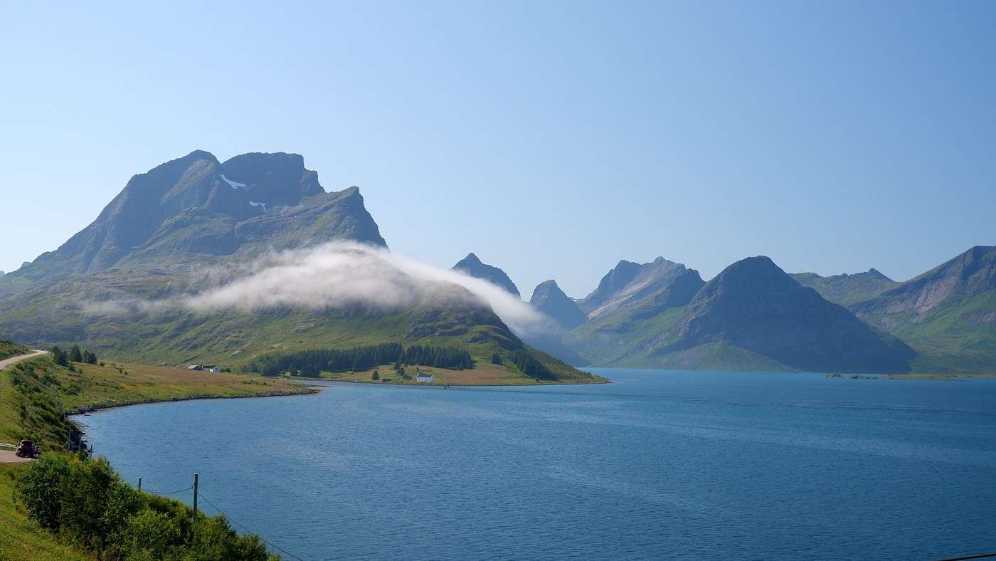
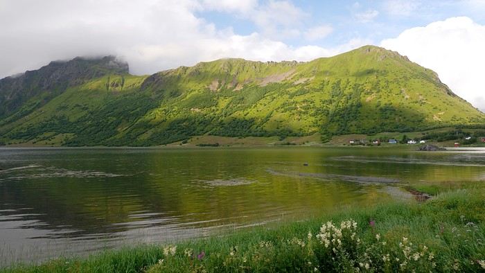
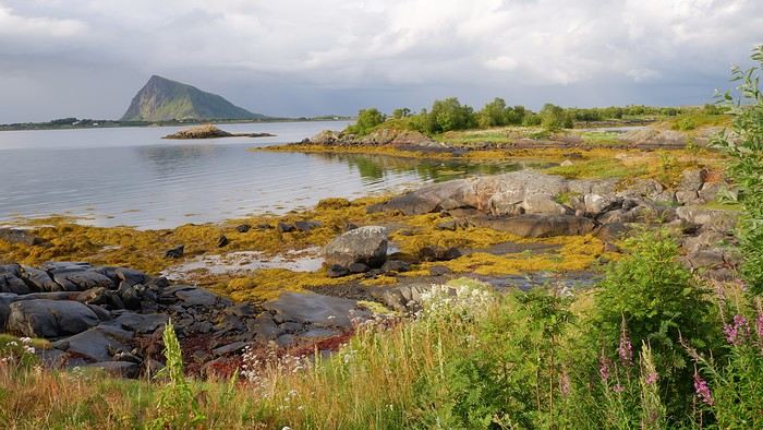
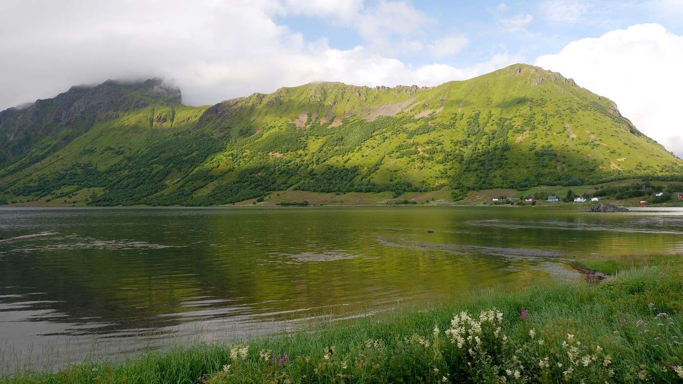
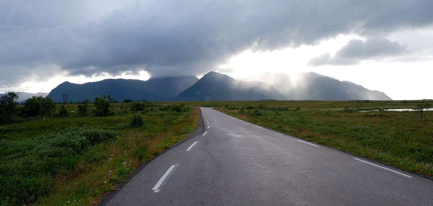
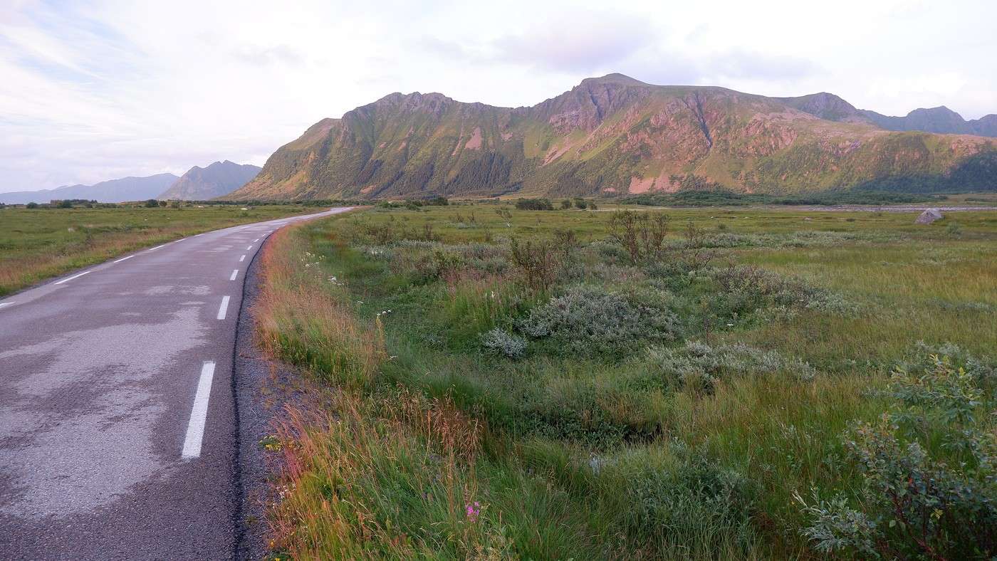
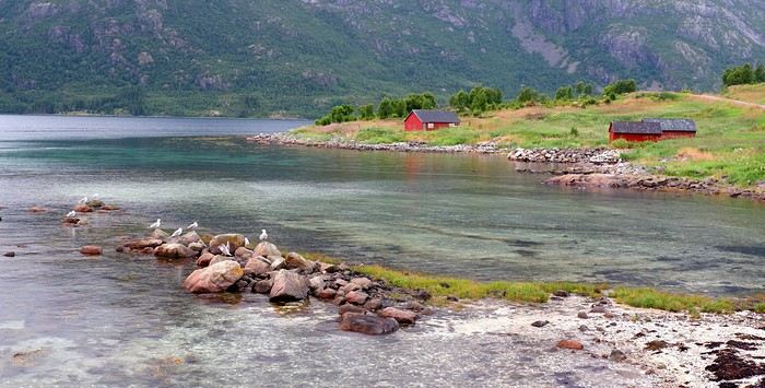
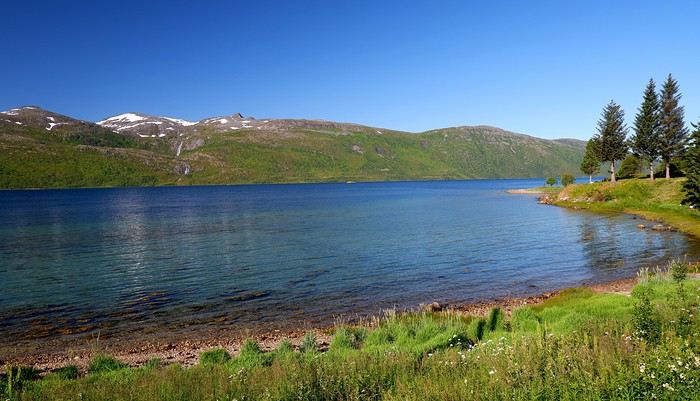
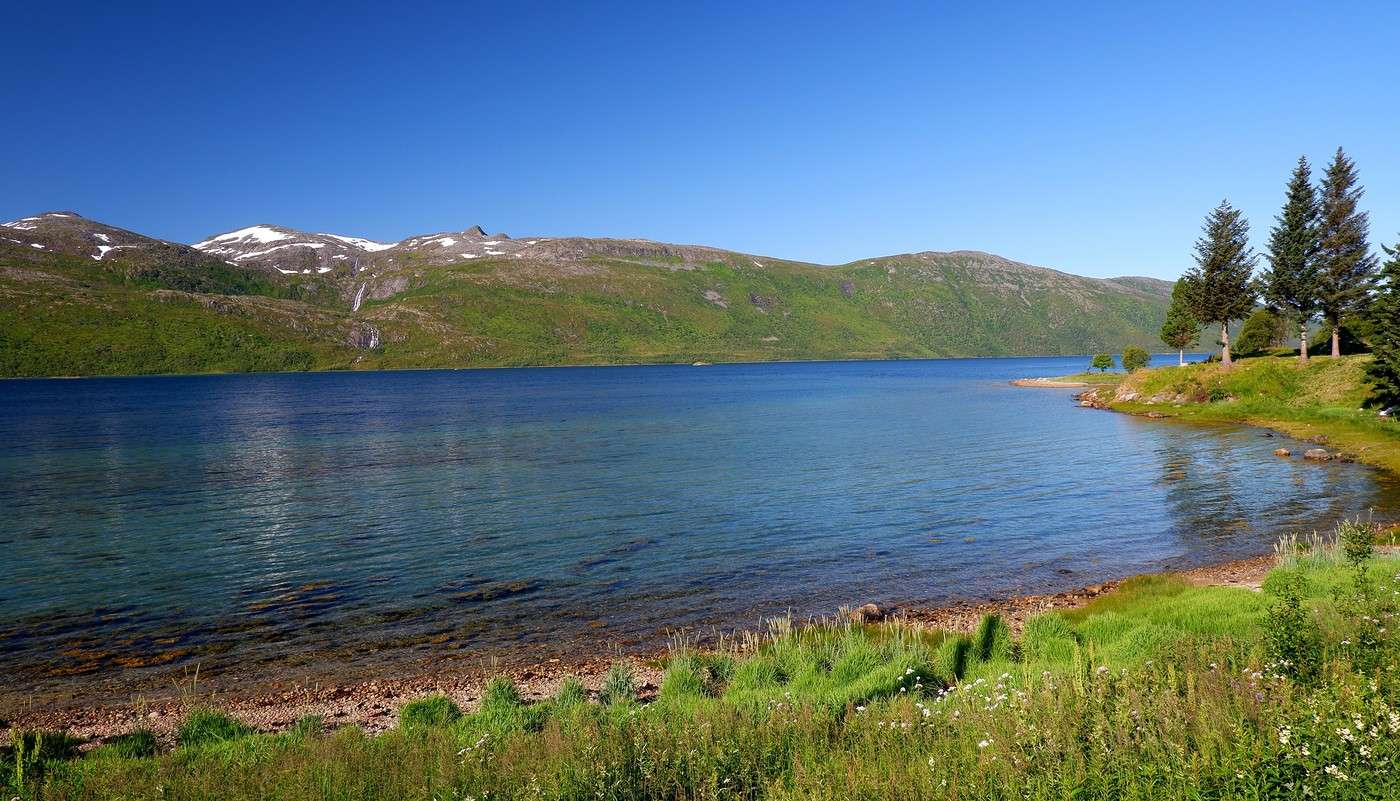
It was only at the Esso station that I found what I needed, but unfortunately, only one cartridge. Luckily, we quickly realized that most campsites (like in Iceland) have a shared kitchen with hotplates. That single small cartridge was just enough for the few nights we spent outside of campsites... We got our first taste of Norway’s characteristic landscapes:
When we arrived at the Senja campsite, it was already 9:30 PM. A sign announced it was full, but luckily, I’d booked it 10 days earlier. By 10:30 PM, as we settled in to eat, it was still broad daylight, and the thermometer read 25°C—despite being at a latitude of 69° North! We went to bed around midnight, exhausted but under the light of a sun that was still very much present. Thanks to Earth’s tilted axis. We’d anticipated this by buying opaque sleep masks because, yes, at this time of year, it’s daylight all the time.

Friday, July 18:

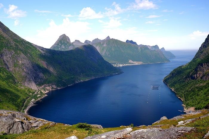
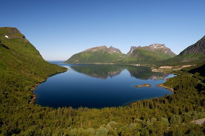
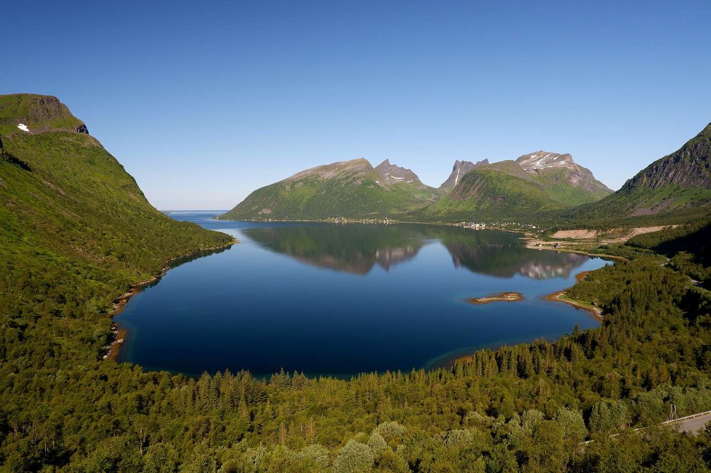
Today, we planned two hikes on the island and a few stops along the way. The map clearly shows that the deepest fjords are in the north and west. Due to time and accessibility, we focused on the northern part of the island. Our first stop was at the viewing platform in Bergbotn:


Then we headed toward Skaland, the starting point for our first hike. Along the way, we found plenty of reasons to stop—especially since, on this first day of travel, our thirst for Nordic landscapes was far from quenched.
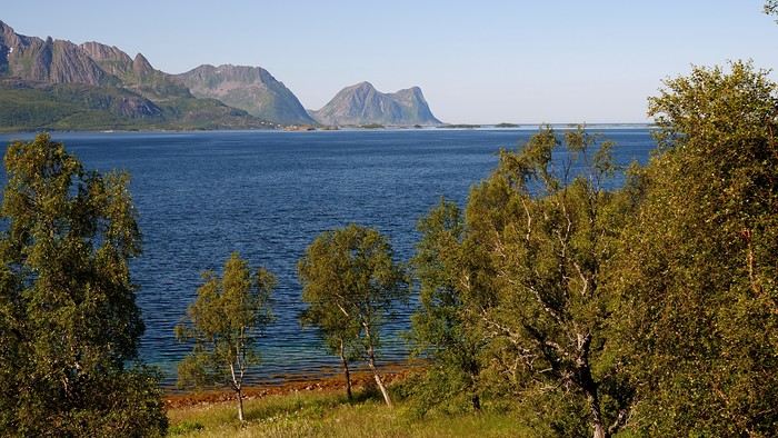


The town of Skaland is very practical: free parking, picnic tables for after the hike, and a Joker convenience store right next door. Our goal was the summit of Husfjellet: 670 m of elevation gain, between 8 and 9 km in length, and an estimated 4 hours and 30 minutes.

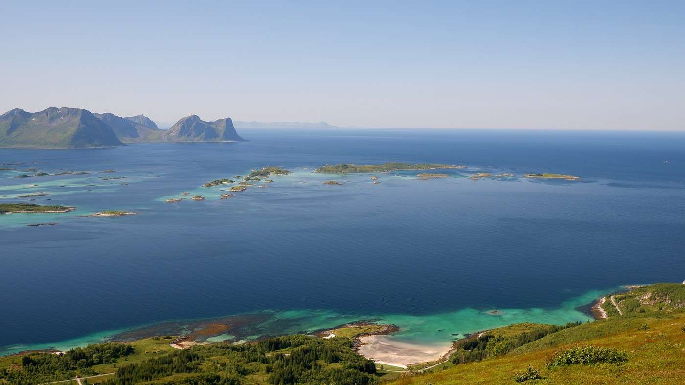
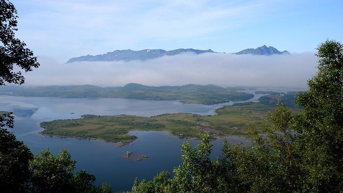
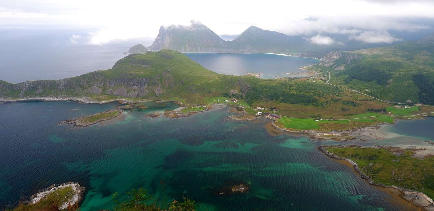
This hike offers two major viewpoints. The first overlooks the Bergsoyan islands to the west:
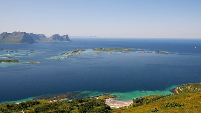


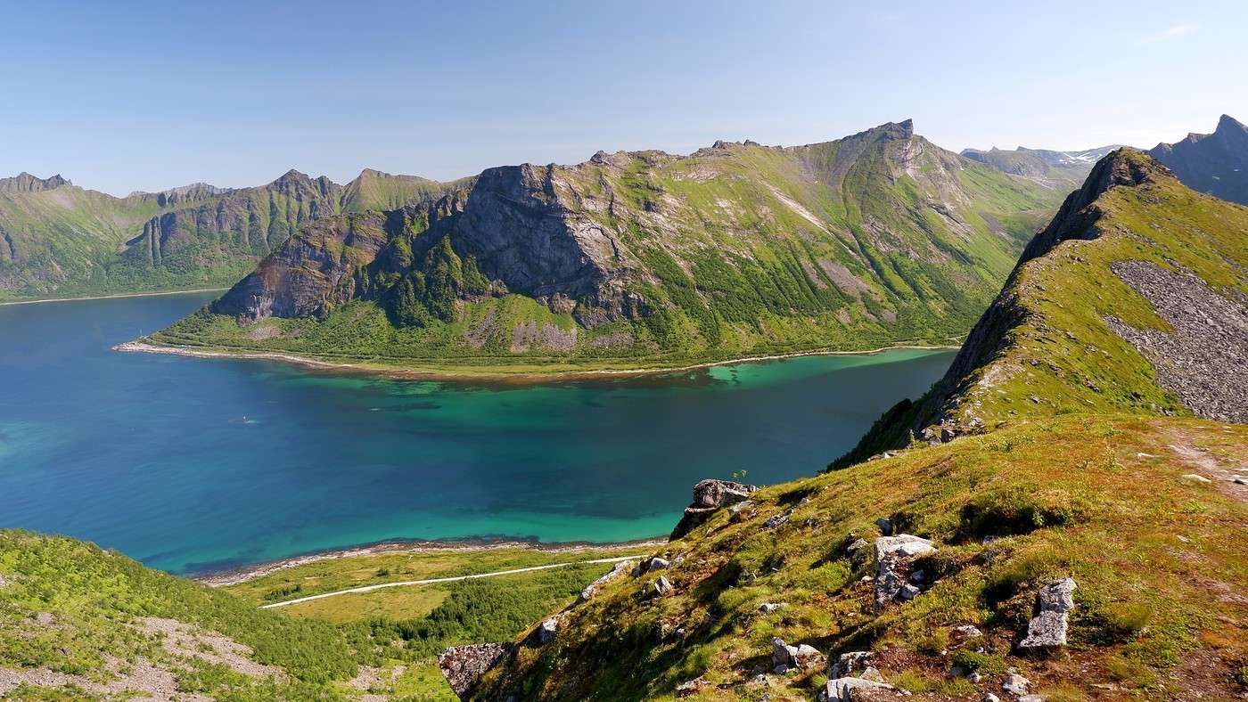
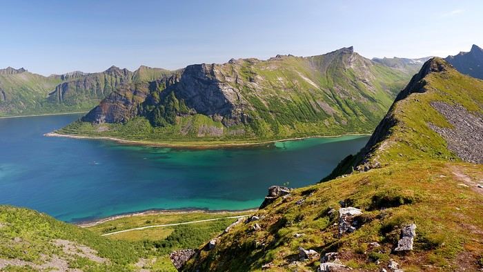
At the summit, the view shifts to the Steinfjorden fjord:


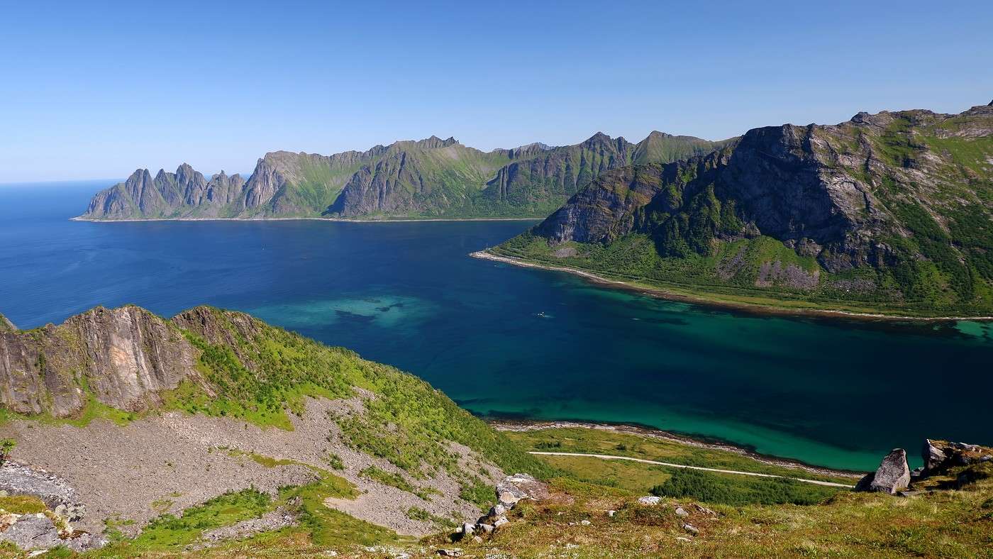
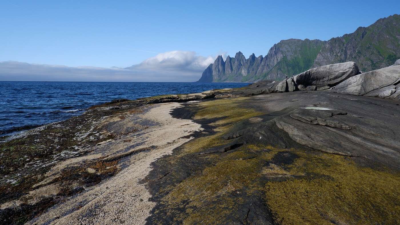
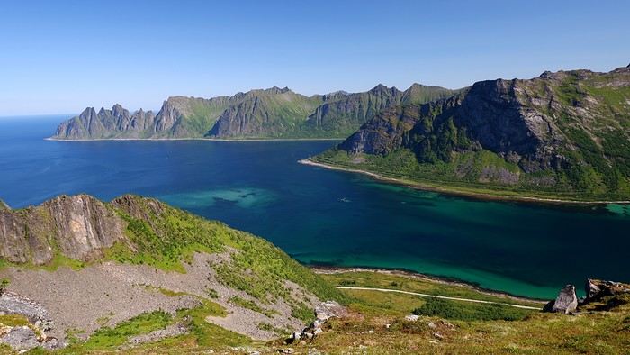
You can even clearly see the "Devil’s Teeth," which we’d see from below later:


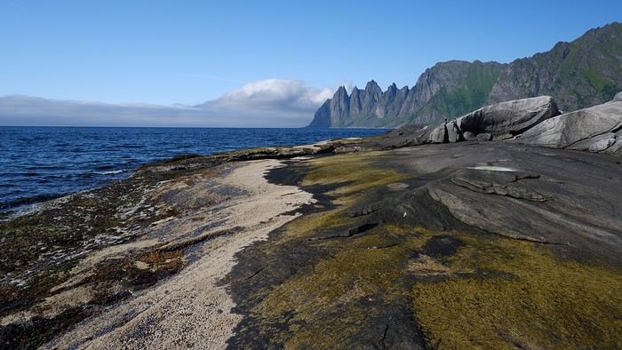
In total, the hike took us 4 hours and 30 minutes, including all the breaks. We treated ourselves to an ice cream in Skaland to recharge for the next hike. We hit the road again and stopped at Tungeneset to get a closer look at the Devil’s Teeth:


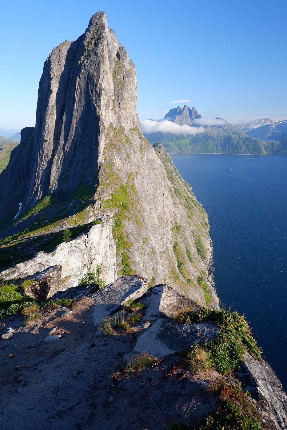
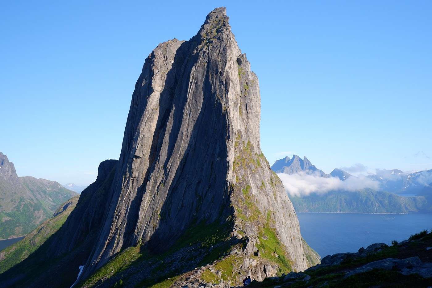
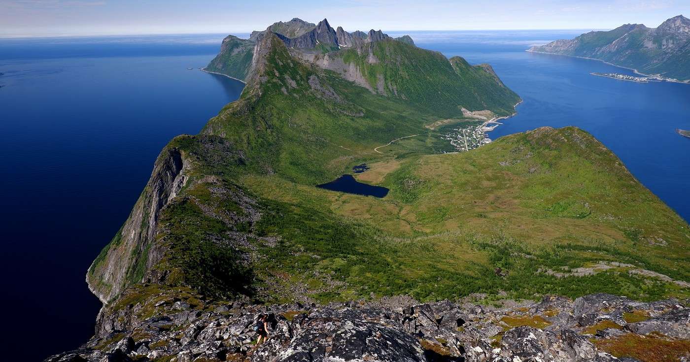
We continued to Fjordgard, the starting point for our second hike. Fjordgard isn’t very welcoming. There was a time when you could park right at the start of the hike up Mount Segla. Now, everything’s blocked off, and locals have even taken to blocking all possible parking spots nearby. You now have to park outside the town at a paid parking lot (90 NOK for 3 hours), adding an extra 2 km (round trip) of walking. Still, that was just a minor inconvenience because the hike that followed quickly made us forget all about it. The hike is fairly short (2 hours) but still has 520 m of elevation gain. This hike was a stark contrast to the first. This morning, we had sweeping views of the vast landscape. Here, Mount Segla, perched on the edge of the cliff, dominates the foreground:
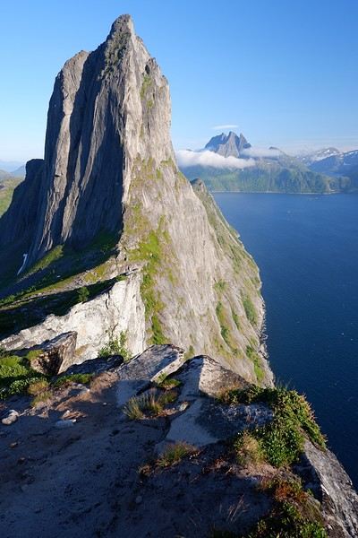
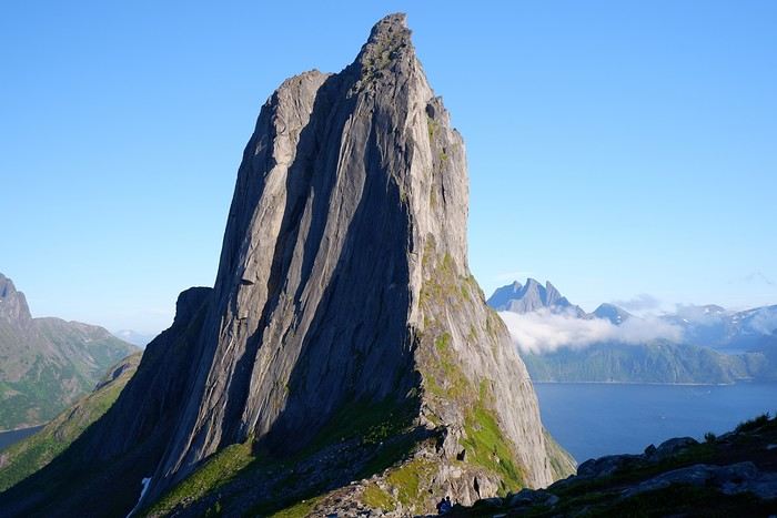


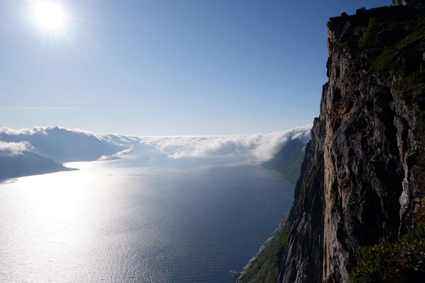
For those prone to vertigo, it might be best to stay at the foot of the mountain, as the trail climbs right along the cliff edge. And from that point on, you quickly understand what verticality really means...
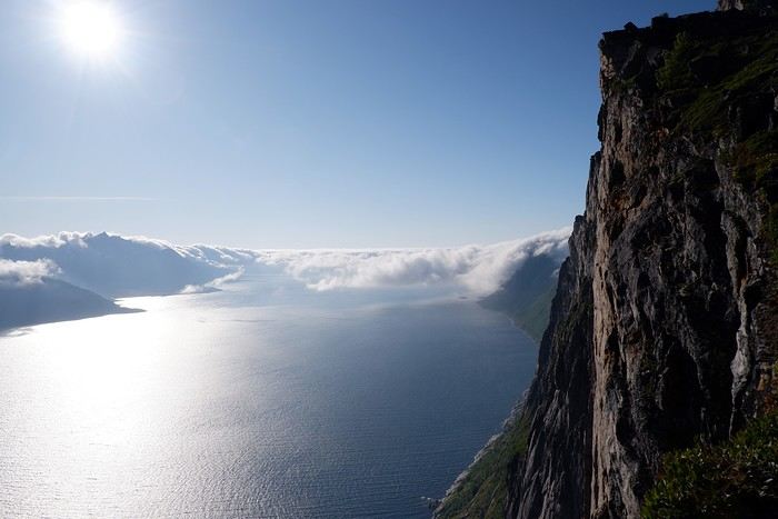


In total, we took 2 hours and 50 minutes, including breaks and the extra walk to the parking lot. The day was already well underway, and with 1,200 m of cumulative elevation gain, it was time to find a spot to eat and sleep. Since we hadn’t made any reservations, we’d planned to bivouac for the night. We weren’t too picky—just practical—so we decided to sleep in the car at the parking lot for tomorrow morning’s hike, just 5 km from Fjordgard.
Hiking on Senja Island and the Lofoten Archipelago

Orionide · 2025-11-02

Saturday, July 19:

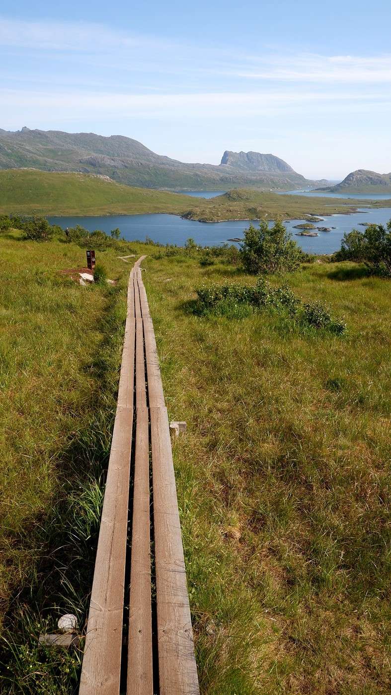
Today, we also felt like doing two hikes in a row, especially since they both start from the same place. The first 30 minutes involve walking through a marshy area. We put on our waterproof hiking shoes again, but the dry weather of the past few days made them completely unnecessary. The few damp spots are actually covered with planks... We decide to start with the trail that takes us to the summit of Barden (659 m above sea level). It indeed takes about half an hour to reach a first plateau, which already offers a beautiful view:


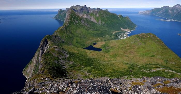
We then turn left toward Barden, perched at 659 m. The trail isn’t always well-marked, but it’s pretty easy to navigate by sight (and with the track on our phone if in doubt). Sometimes you need to use your hands, but nothing too complicated. At the summit, as expected, we have a 360-degree view, including the two fjords to the north: The Ornfjorden on the right and the Mefjorden on the left:


In these steep landscapes, habitable patches of land aren’t common. So, you can see that every flat area is used by humans. We took 4 hours and 15 minutes to complete this hike, including a nice picnic break in the sun with the 360° view. After returning to the first plateau (the one we climb in 30 minutes from the parking lot), we start the second hike of the day, which should take us to the summit of Grytetippen.

It’s actually a very popular hike among locals for watching the midnight sun, but beware: 800 m of elevation gain is announced, and after the 570 m from Barden already in our legs and our water supplies considerably depleted from the first hike, we decide not to go all the way once we reach the first plateau at 550 m. Who would’ve thought we’d have this kind of heat (24°C) on July 18?

We head back to the campsite at a leisurely pace, making sure to stop whenever the opportunity arises:


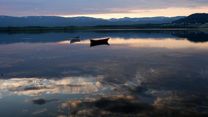
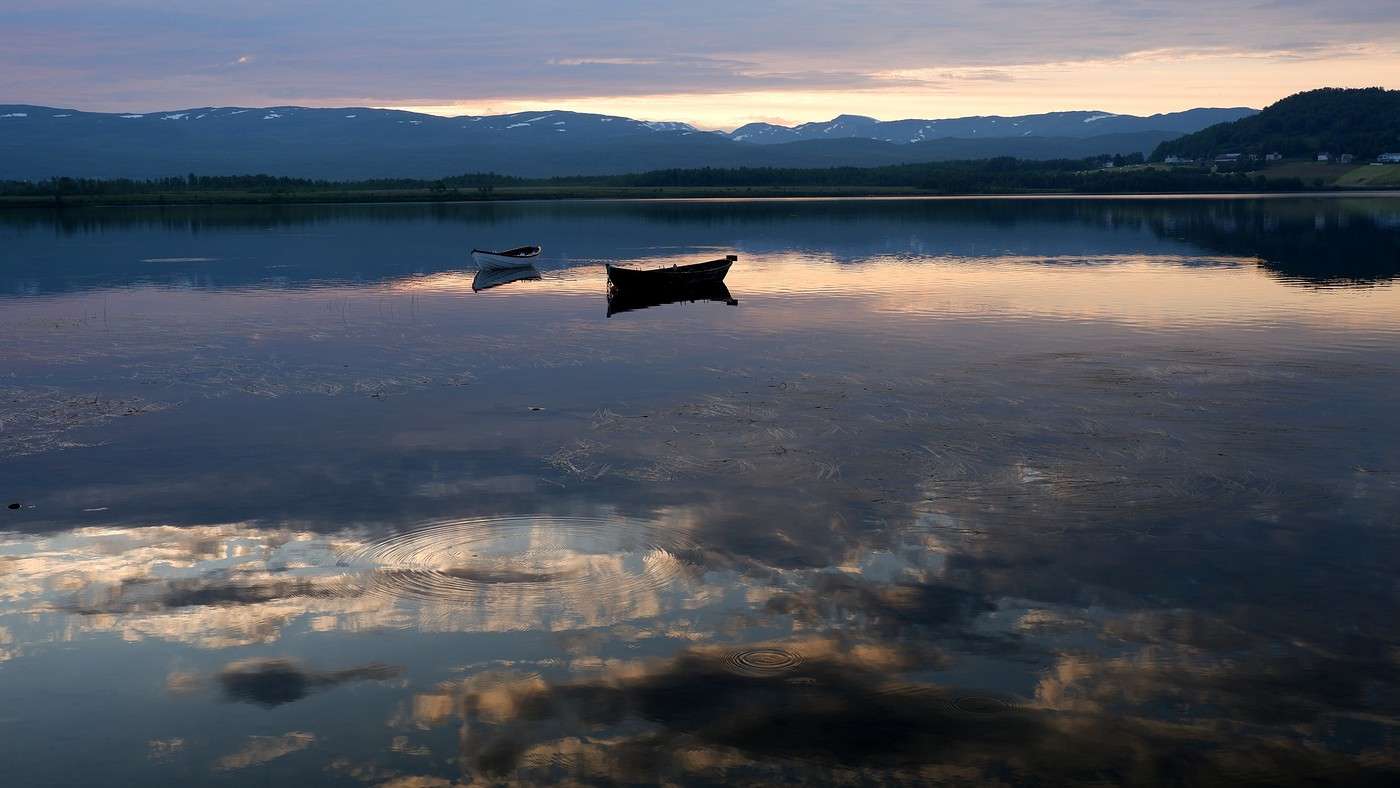
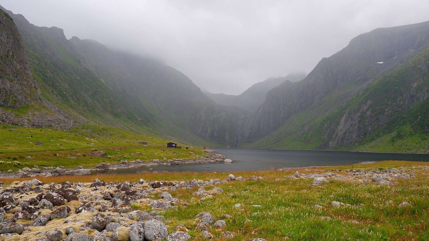
In the evening, the beautiful light creates stunning reflections on Lake Ruollajavri at the end of the campsite (fishing possible):


Summary: Time-wise, we spent two days and three nights on the island, but we could’ve easily filled one more day. Of course, the more than favorable weather didn’t help temper our enthusiasm or avoid the rave reviews about this corner of Norway. More details, photos, and GPX tracks on the blog if you're interested: Lofoten

Exploring Senja Island and the Lofoten Archipelago

Rage2001 · 2025-11-03

Thanks for this travel journal—it definitely amplifies the regrets I have about not being able to make it to Senja in 2023! 😉 Well, I had to settle for the Lofoten Islands—could’ve been worse, right? But I really would’ve loved to see Mount Segla...

Exploring Senja Island and the Lofoten Archipelago

Orionide · 2025-11-08

Sunday, July 20th:

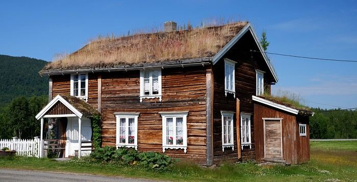
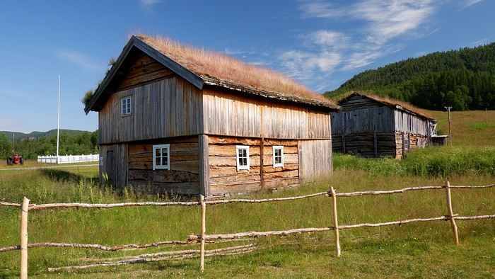
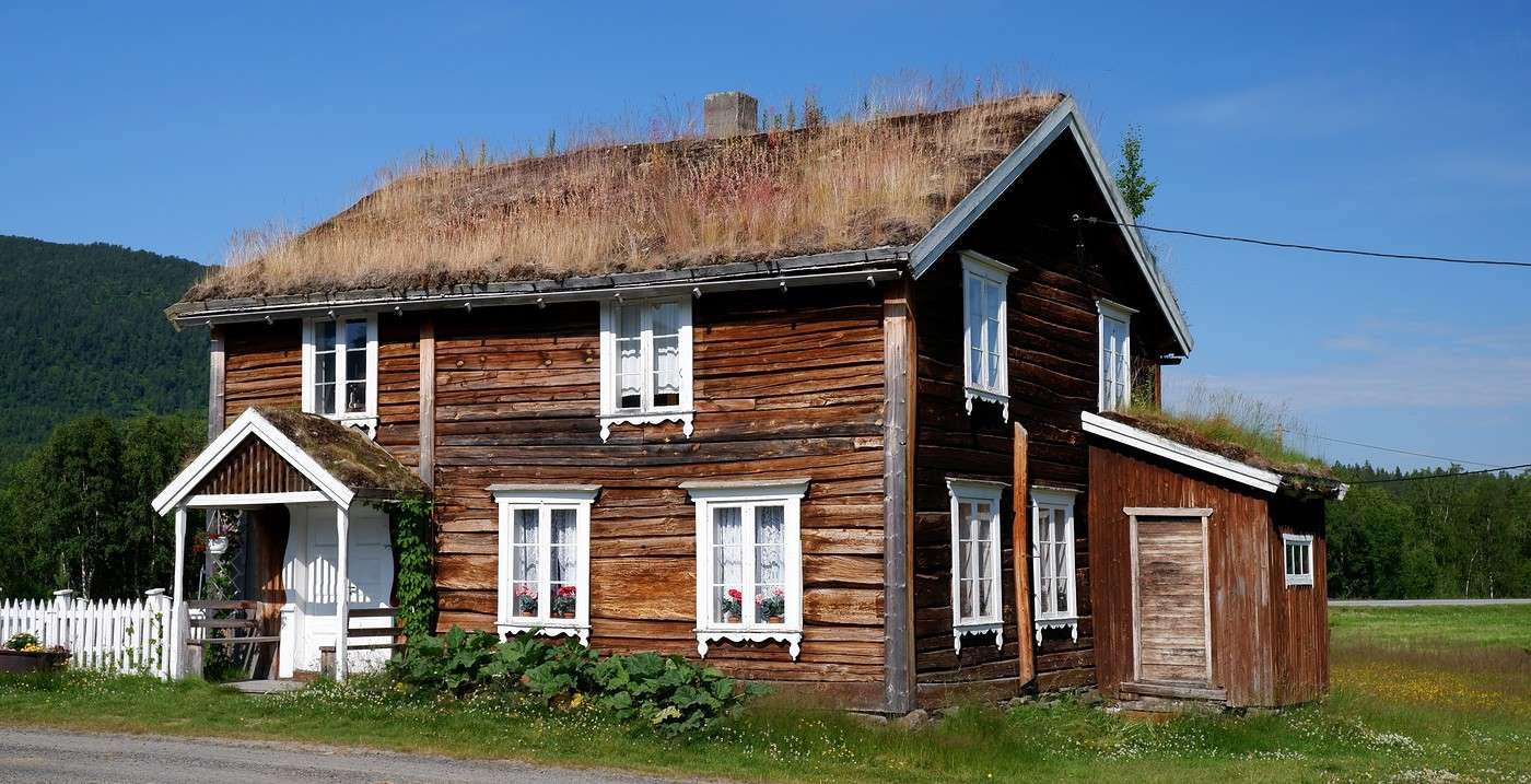
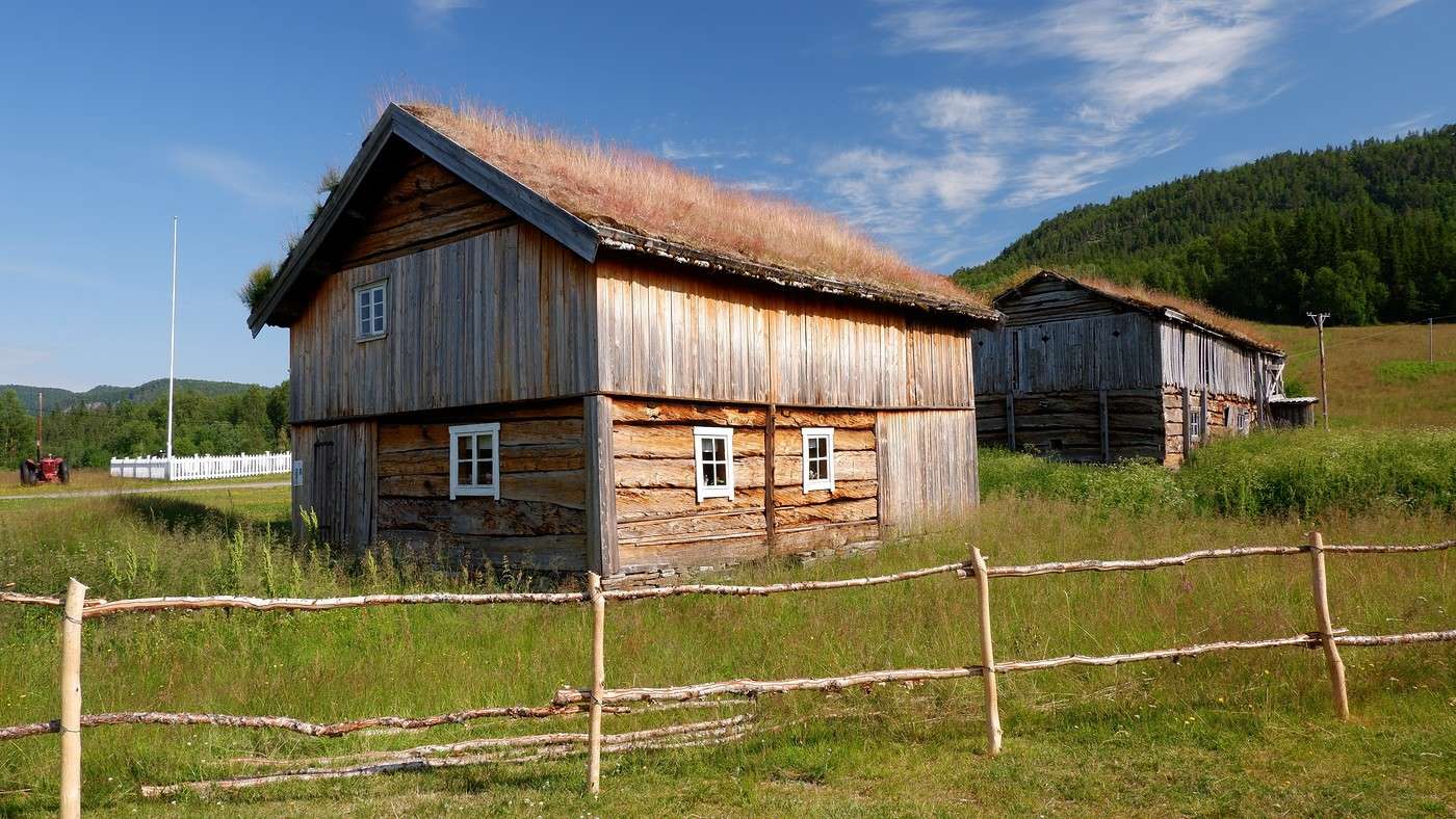
It’s mostly a driving day ahead of us (383 km), but we still managed to sprinkle in a few stops—some short, some longer—including a hike. Along the way, a cluster of old houses with vegetated roofs caught our eye. This is Bardu Bygdetun, an open-air museum dedicated to the settlers who made this region home between the 18th and 19th centuries. The museum is closed today, but we can wander freely among the houses:


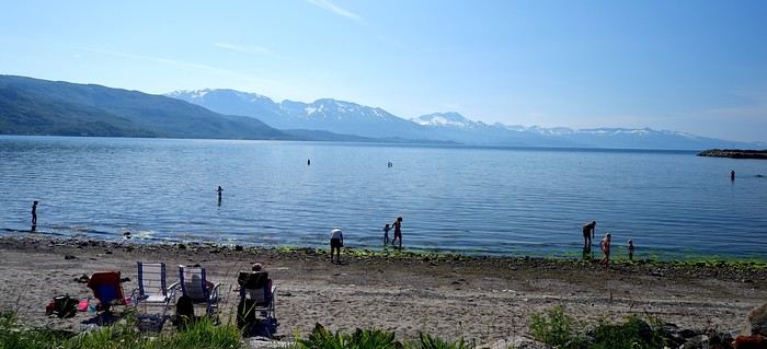
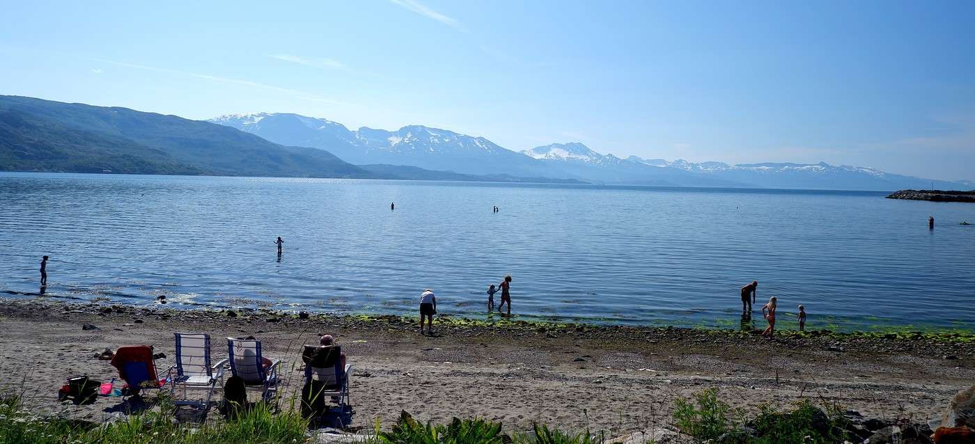
Since we’re passing through Bjervik again, we take the chance to grab a few groceries and stop for a picnic by the Ofotfjord (tables and benches are set up for this). Since it’s Sunday, locals have claimed the spot to relax and swim:


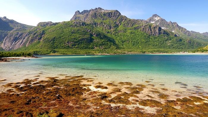
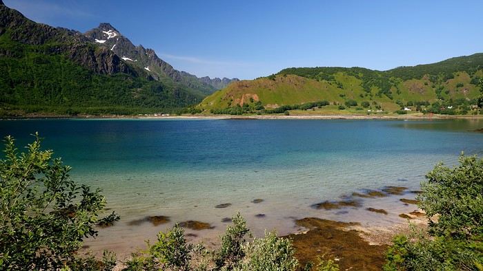
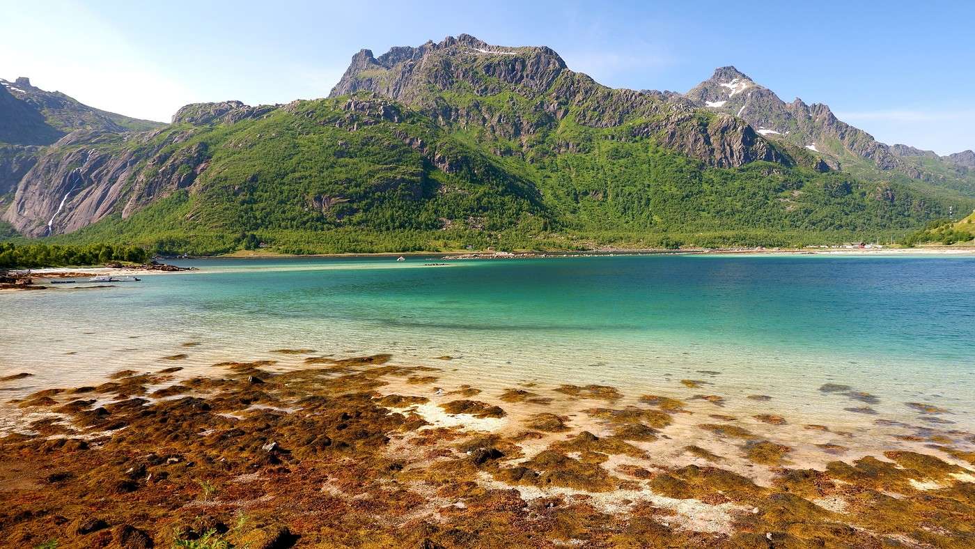
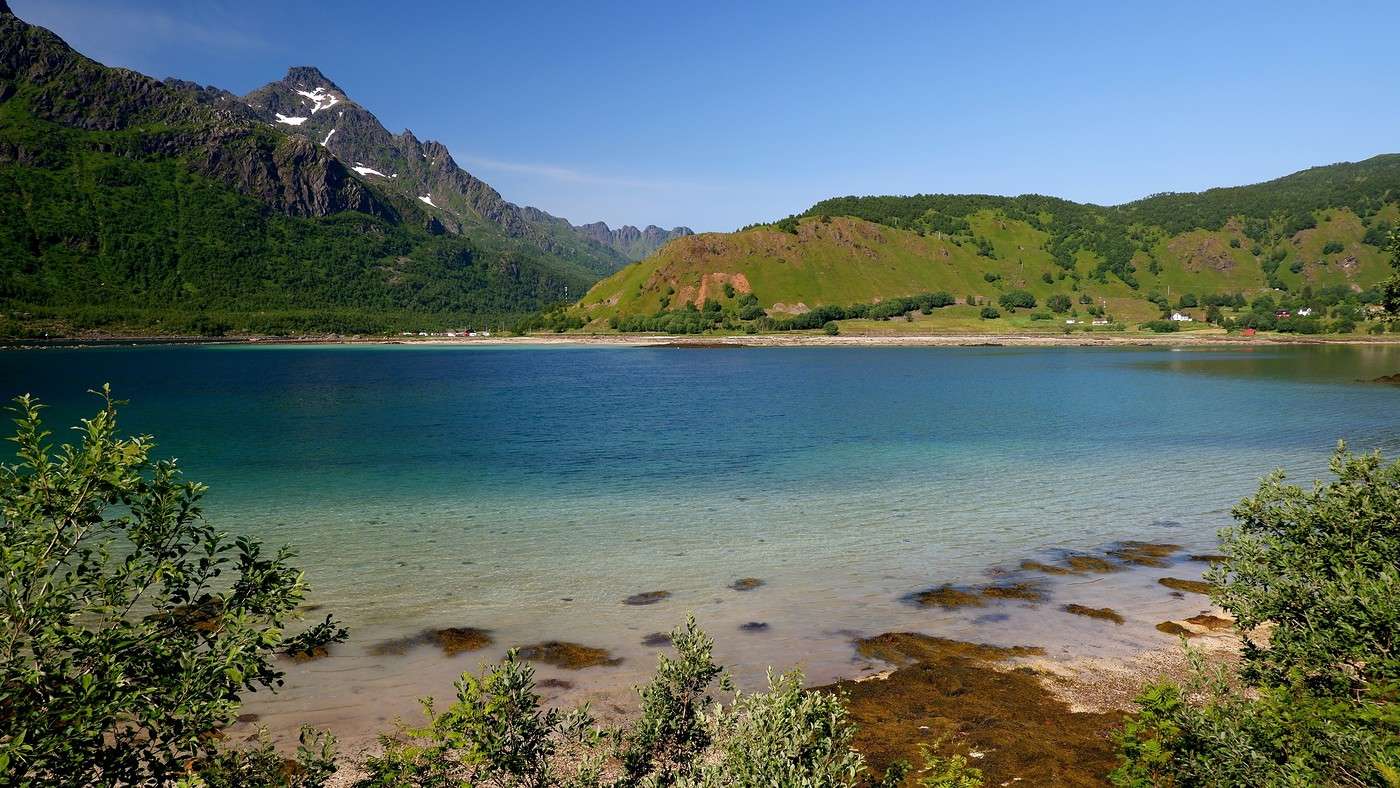
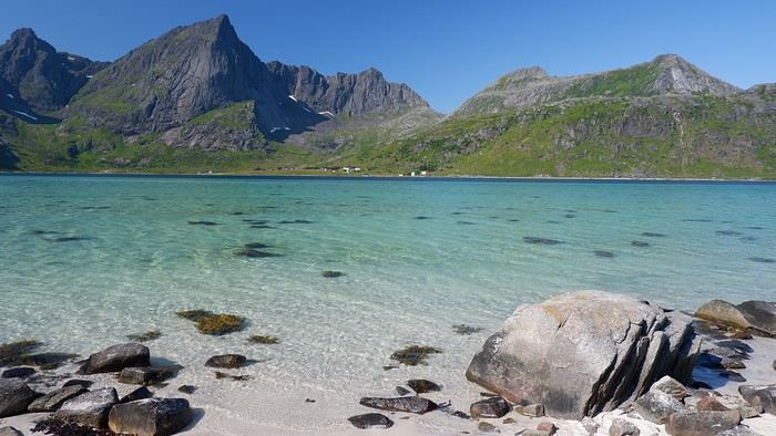
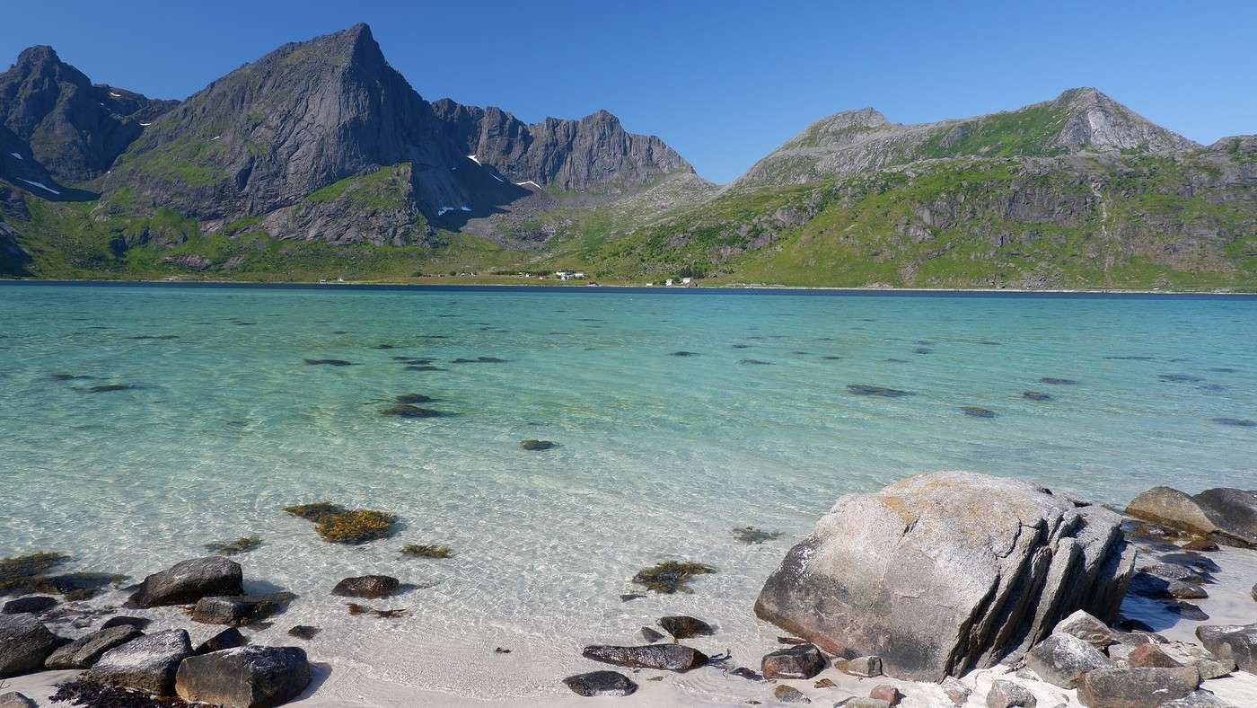
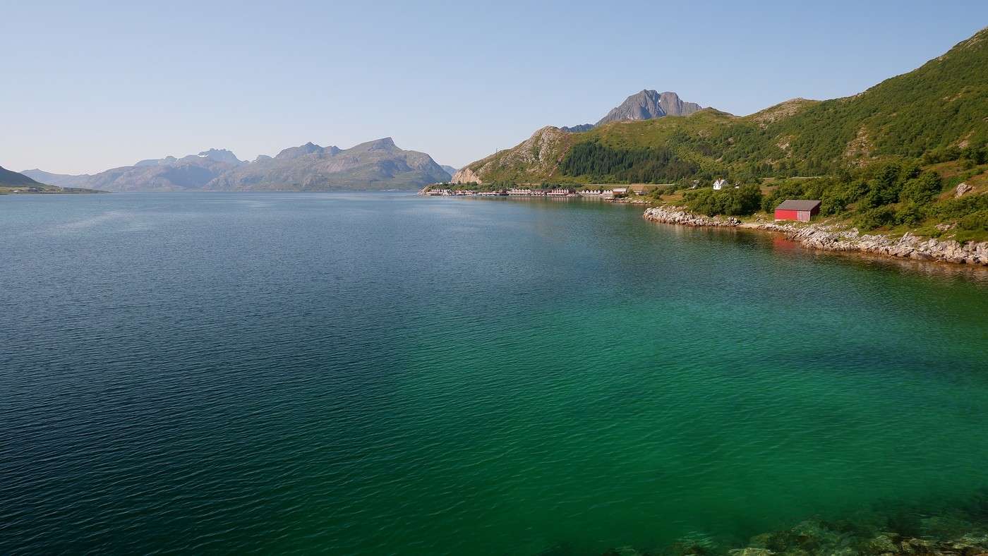
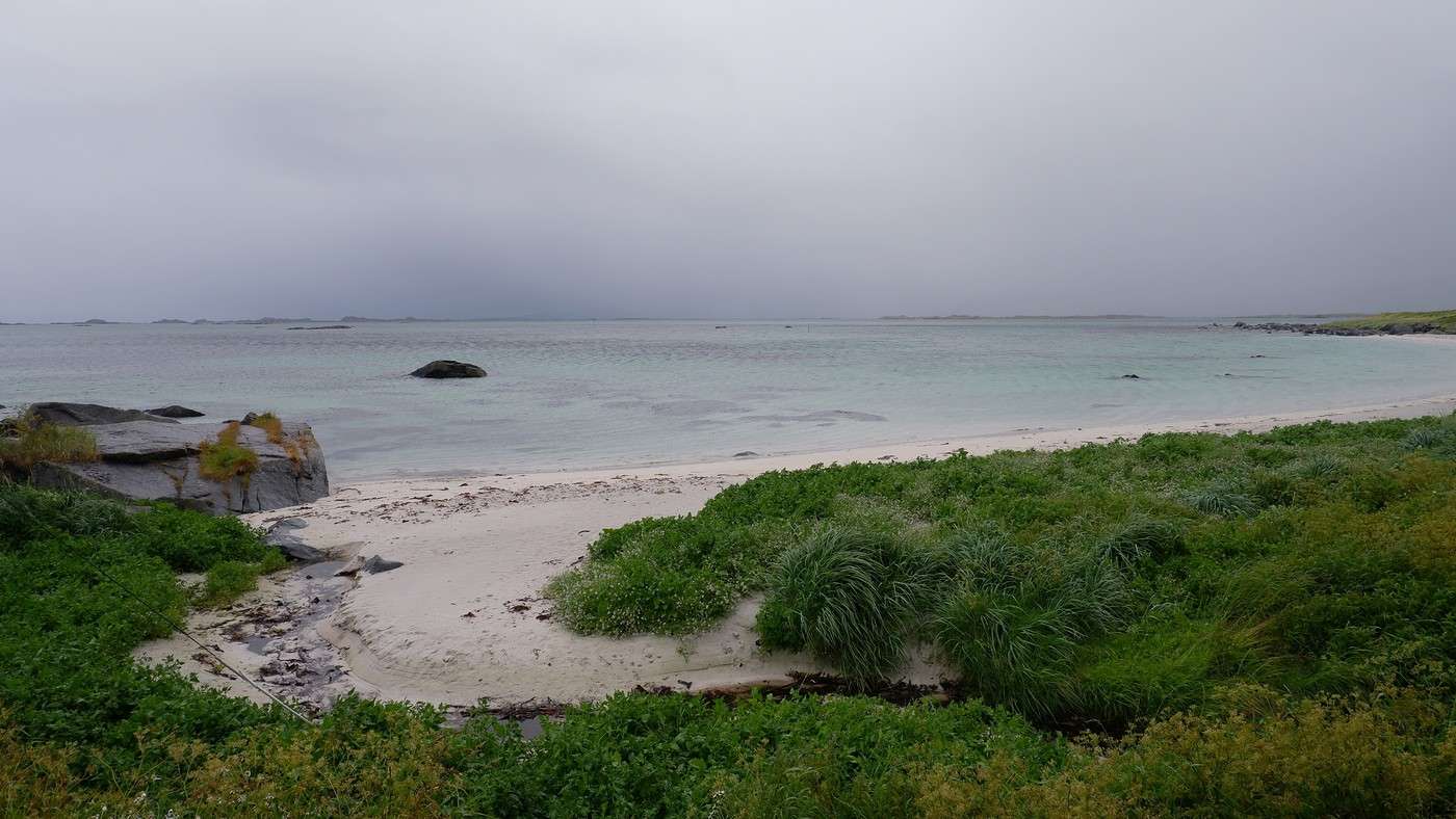
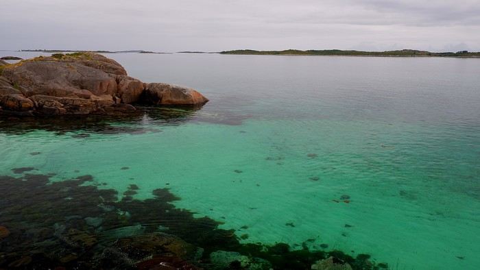
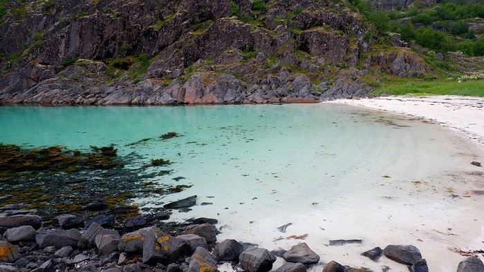
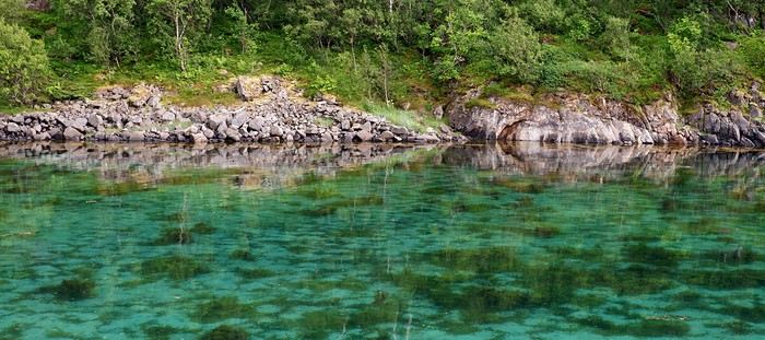
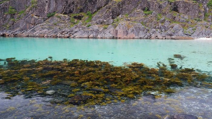
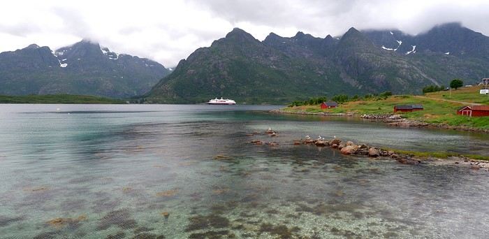
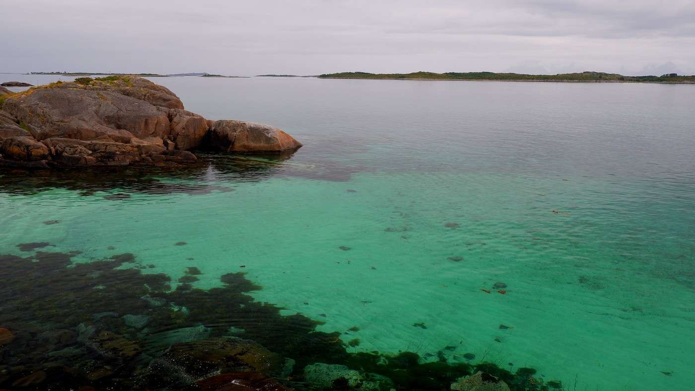
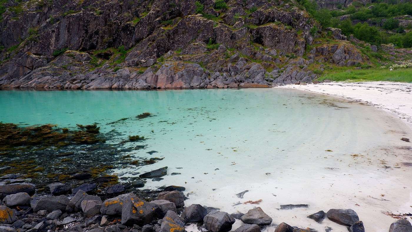
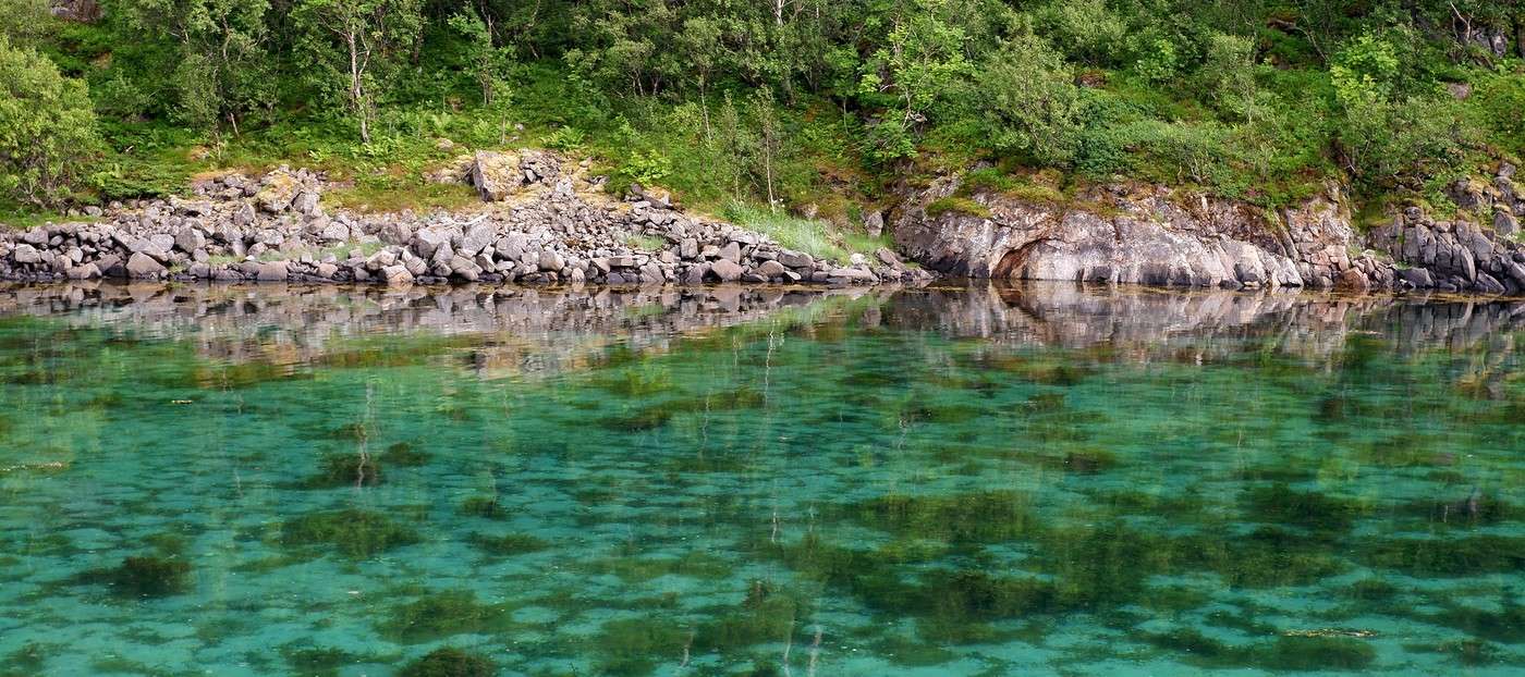
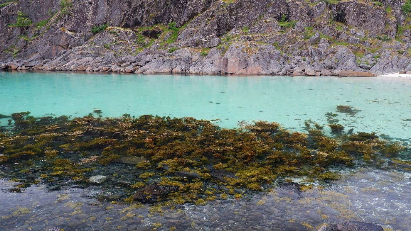
We then hit the road toward Digermulen. At times, we wonder if we’ve stumbled onto a Caribbean lagoon—the water is that clear:


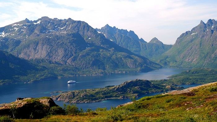
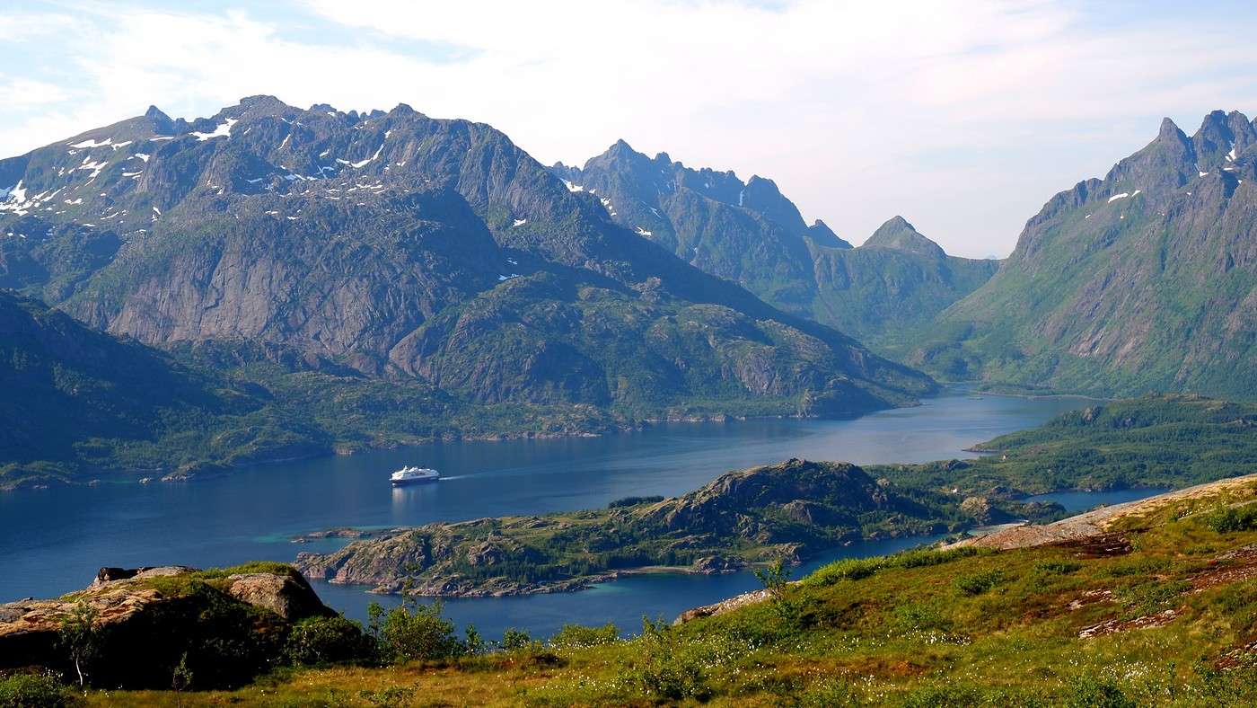
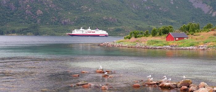
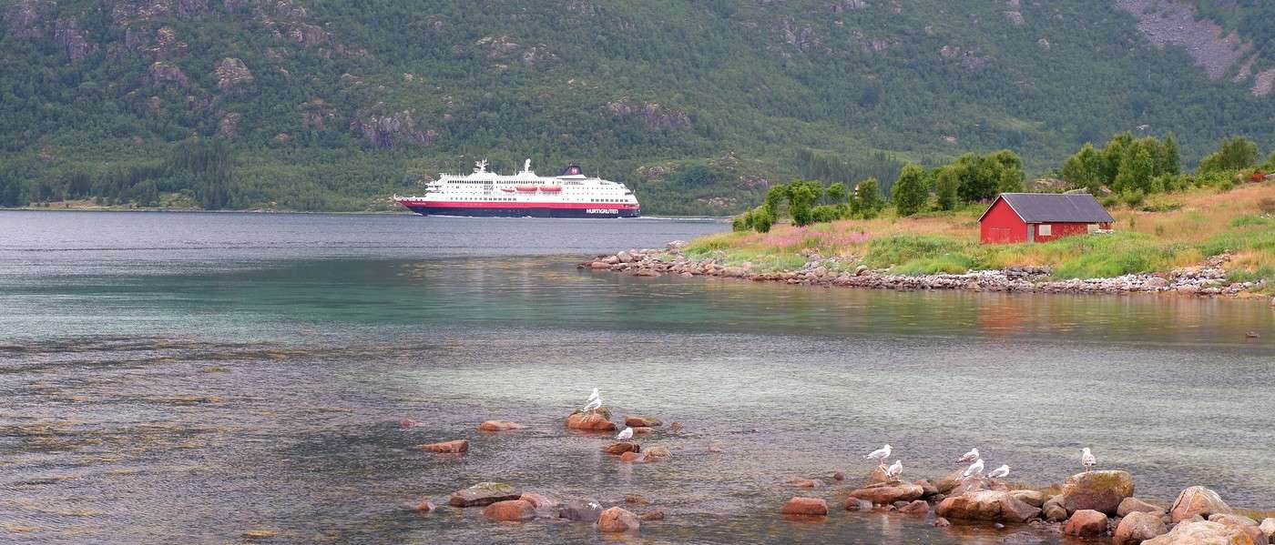
Today, to stretch our legs, we’re tackling our first hike in the Lofoten archipelago: Keiservarden. 384 m of elevation gain over 1h45 of walking—exactly what we needed this afternoon... The trailhead is located precisely between Digermulen and Vaten. The parking lot, empty today, is free. At the summit, we’re rewarded with a stunning panorama. Below, we spot the coastal express Hurtigruten. Just one small downside: if we could do it again, we’d hike this in the morning for better lighting.


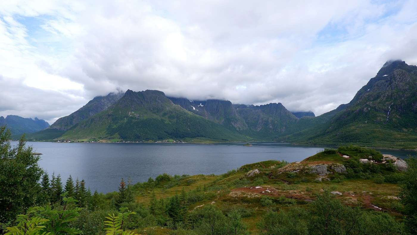
The day is already winding down, so it’s time to head to our campsite for the night: Sandsletta, where we’ve booked a Nordic bath and a sauna. Good news: even without reserving it privately, we’ll have the place to ourselves. Bad news: a lazy cloud settled over the campsite, cutting visibility—but not enough to ruin the moment.

Exploring Senja Island and the Lofoten Archipelago

Marati · 2025-11-08

Hello Jean-Philippe, Thanks for this travel journal with amazing photos that let me discover Senja Island—it looks like it offers huge hiking opportunities! Did you run into any difficulties with wild camping? And did you use an app to find authorized spots? Since Ioverlander went paid, it seems way harder to find places to sleep without getting caught...

Exploring Senja Island and the Lofoten Archipelago

Orionide · 2025-11-08

Hi Guillaume,

Funny, because just before replying to you, I was reading your travel journal about Iceland and admiring the spots you captured—quite a few of them unknown to us. It must’ve been a real heartbreak for your son to lose his smartphone and then give up on the fruitless search 🤪 On the other hand, nice move with the tire plugs—I always keep some in stock too. Haven’t needed them yet, though I’ve had my fair share of flat tires on US trails, but I always had a spare wheel 😉

To answer your questions: For Senja, no problem wild camping since there aren’t many tourists. For the Lofoten, it’s trickier—I’d say south of Svolvaer because to the north, there are still relatively few tourists. As for the south, the issue isn’t wild camping near a hike but rather sleeping in your van/car/campervan by the side of the road, as many locals block access to prevent people from doing it. You can still find spots, but since demand exceeds supply, it’s a challenge to secure one, and people started claiming their spots early. So we avoided doing it in the most touristy areas—didn’t feel like parking the car at 6 PM...

No, we didn’t have an app for that either.

Hiking on Senja Island and the Lofoten Archipelago

Orionide · 2025-11-08

Monday, July 21:

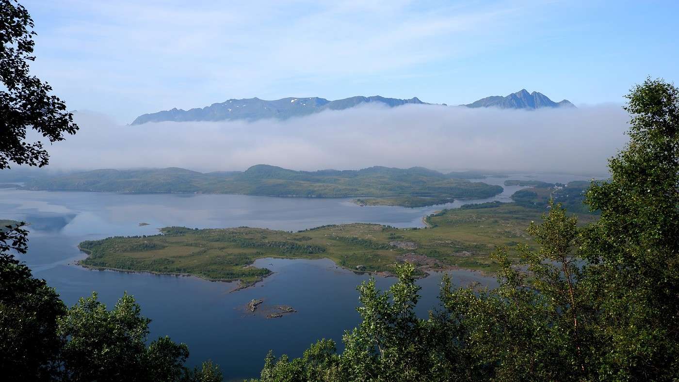
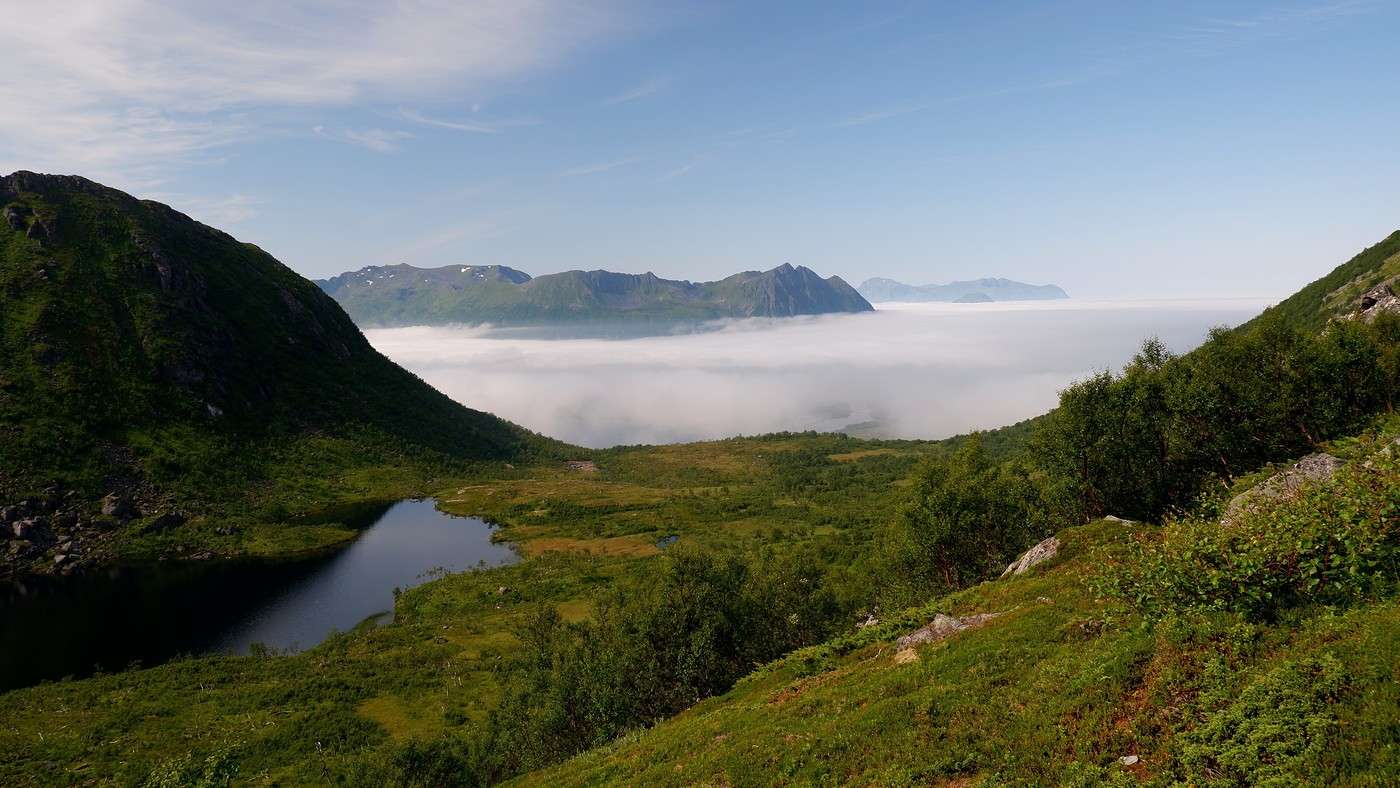
We head to the start of the Matmora hike. We could have almost walked there since the campsite is only 3 km away... We plan not to do the full hike because it’s not a loop, and if we want to return to the starting point, we’d have to walk 6 km on the pavement back to the parking lot. So, we’ll skip that part by climbing to the top of Matmora (788 m) and then descending the same way we came. The low clouds we saw yesterday seem to be lifting, but some are still clinging to the mountainsides. We hope they’ll clear up during the day—or maybe we’ll get to see a partial sea of clouds once we reach the top.


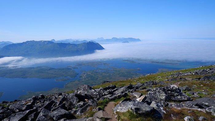
The second scenario wins out—we only need to climb a few dozen meters past the birch forest to find blue skies again.


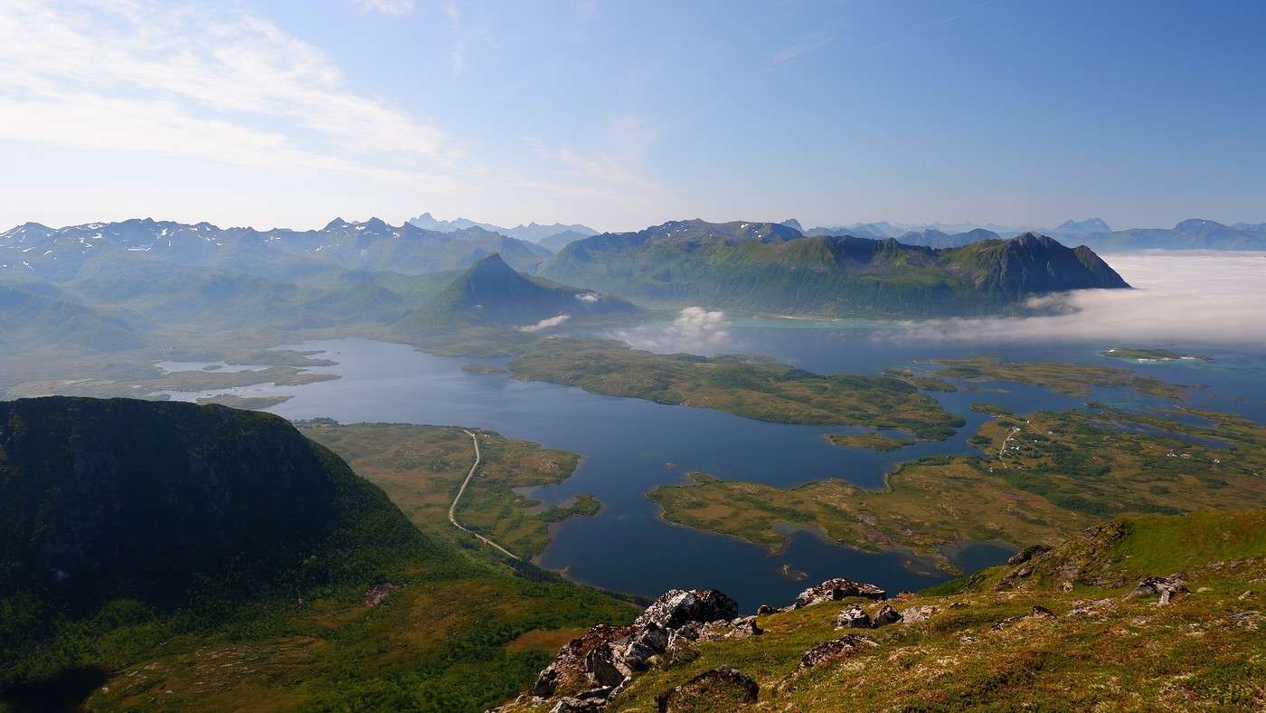
Then the clouds clear, and the string of islands of Jordholman appears.

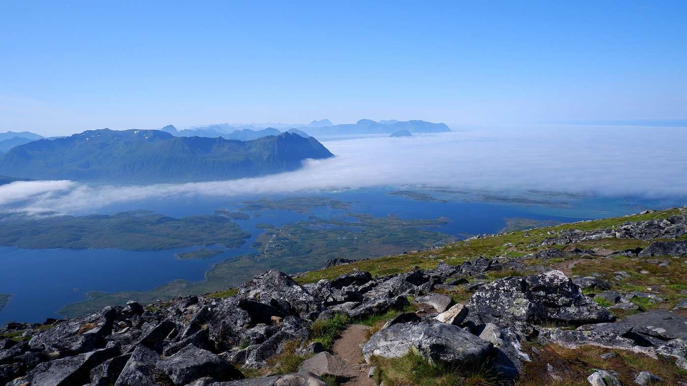
Once at the summit, we have a picnic. The 360° view is definitely worth the effort:


Hike summary:

Elevation gain: 788 m Time: 5h15 including the picnic break

Afterward, we head toward the town of Svolvær. We only have about thirty kilometers to cover, and the road, under a bright blue sky, inevitably tempts us to snap a few photos:


Exploring Senja Island and the Lofoten Archipelago

Orionide · 2025-11-08

Next:


Since Svolvær is the main town of the archipelago, we take the opportunity to do some shopping at Rema 1000 (free parking). On this warm summer day, tourists and locals are enjoying a drink by the harbor to relax. Not finding a table in the sun, we decide to try something new for us: the Magic Ice Bar. Entry is 300 kroner per adult (roughly 25 €) with a free drink... in an ice glass, of course. Even though we dressed warmly, accepted the poncho and gloves provided, the -6°C inside makes it clear that visitors don’t linger long. A surprise when we enter—the place is empty. The experience is pretty fun; they even built an ice slide. All around us are sculptures of different sizes. A special mention for the tables, where flowers, vegetables, or fruits trapped in their ice shells seem to float weightlessly. Sorry, no photos—I took some with my phone, but they won’t upload to the forum...

In the evening, we’ll sleep at Hammerstadt Camping, located 9 km north of the town. It’s a bit of a makeshift campsite, but the owners are very friendly, and it’s quite well situated. A night costs 300 kroner for two. No stove, but there’s a kettle. If it rains, shelter is available, but it’s also a bit makeshift.

Exploring Senja Island and the Lofoten Archipelago

Orionide · 2025-11-11

Tuesday, July 22:

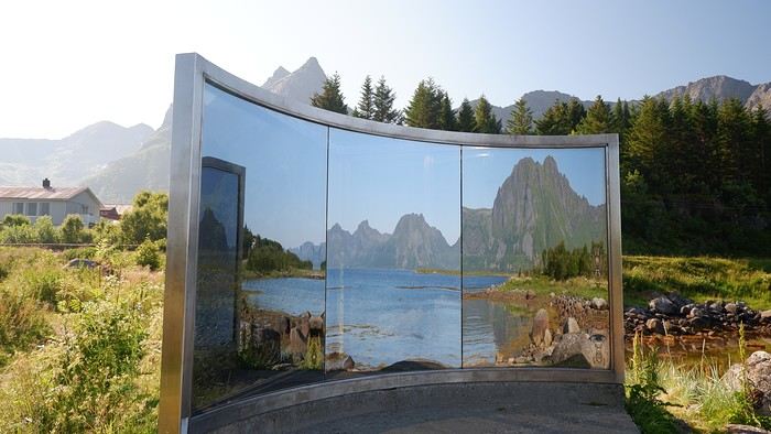
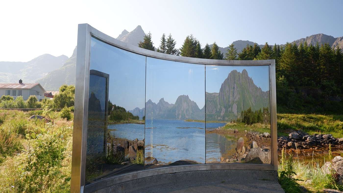
Today, we’ve got a long drive ahead because of the weather. The YR app forecasts two more beautiful days, and after that, things are supposed to take a turn for the worse. So last night, we decided to head full southwest to tackle two hikes we’ve been really looking forward to. There’ll still be plenty of chances to stop along the way. Don’t miss the “mirror” that looks like a box from the road—its hidden side is a concave mirror:


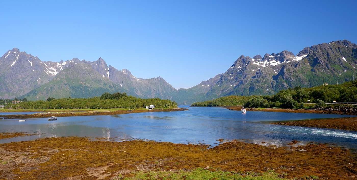
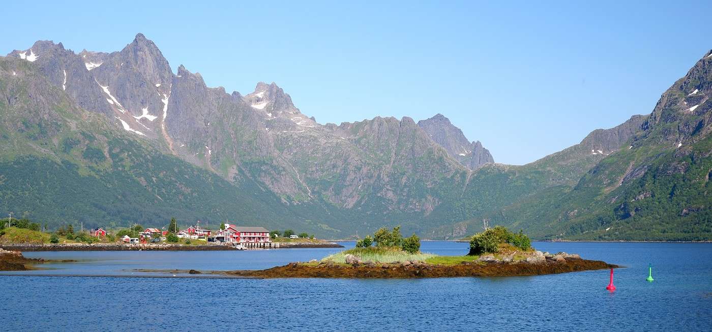
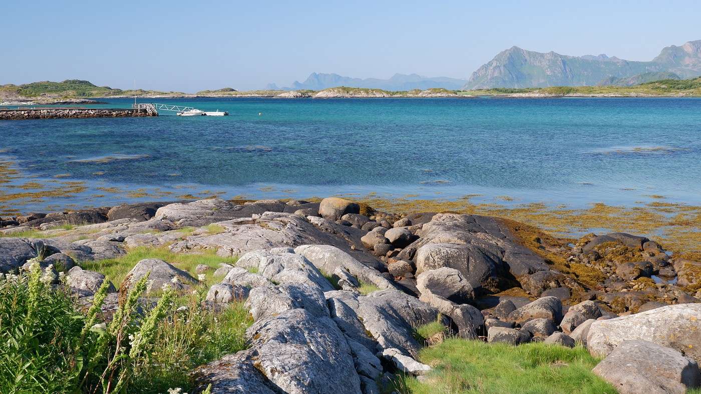
And then there are all those stunning coastal views that make us drive at a snail’s pace:


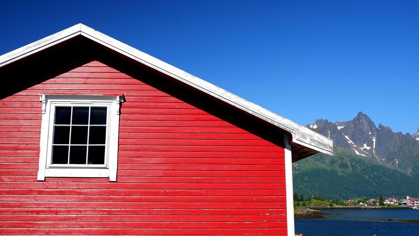
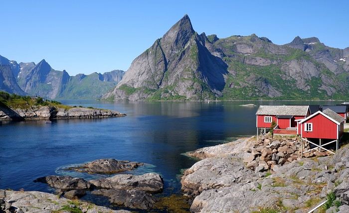
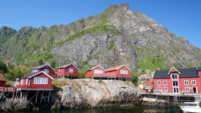
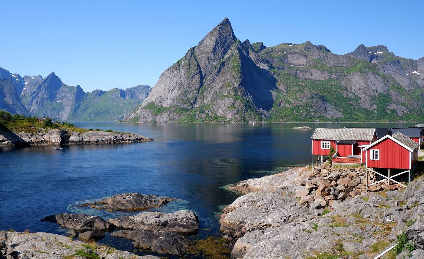
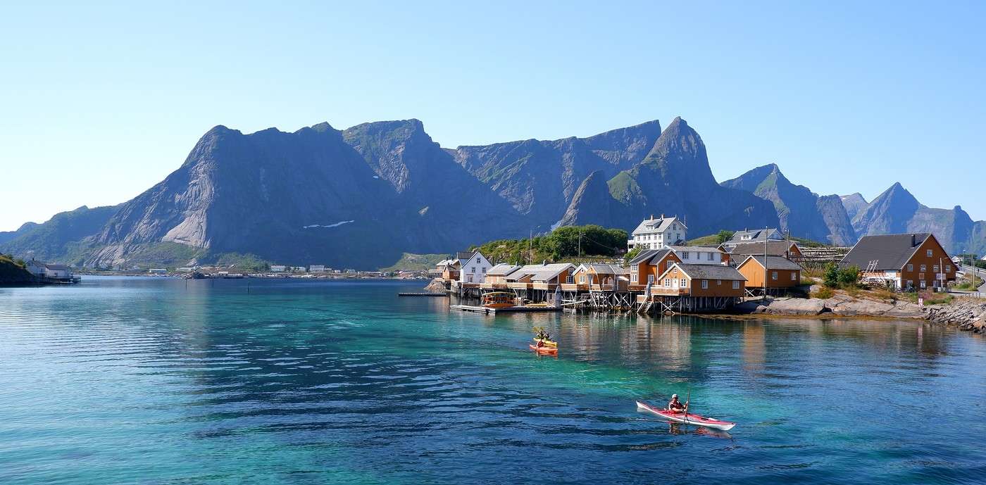
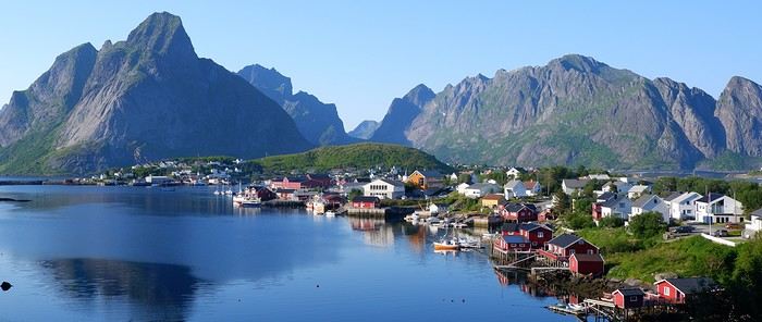
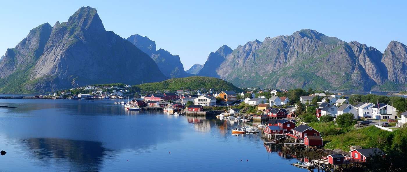
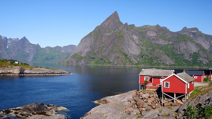
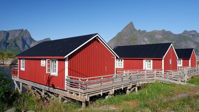
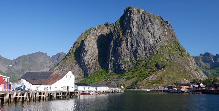
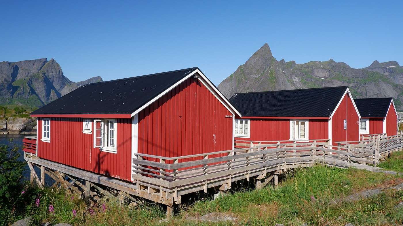
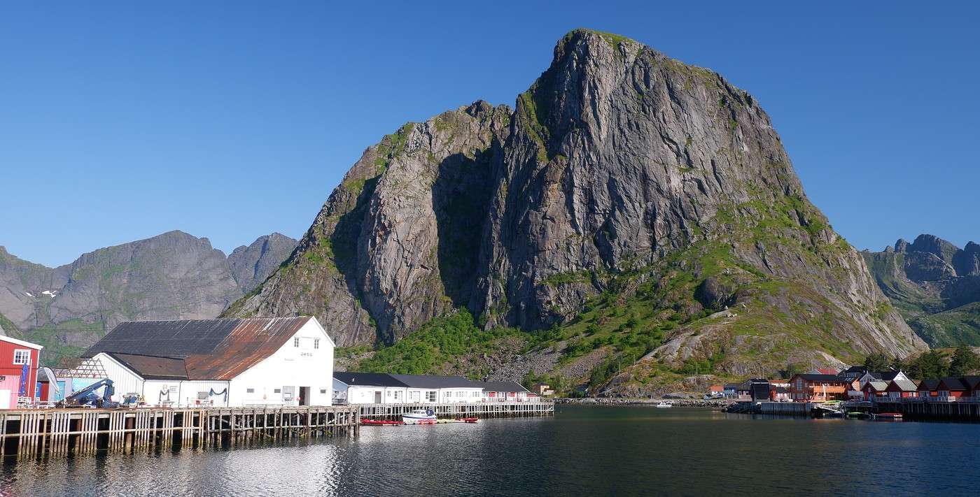
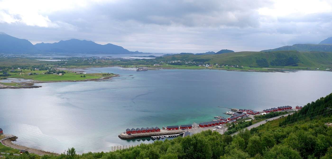
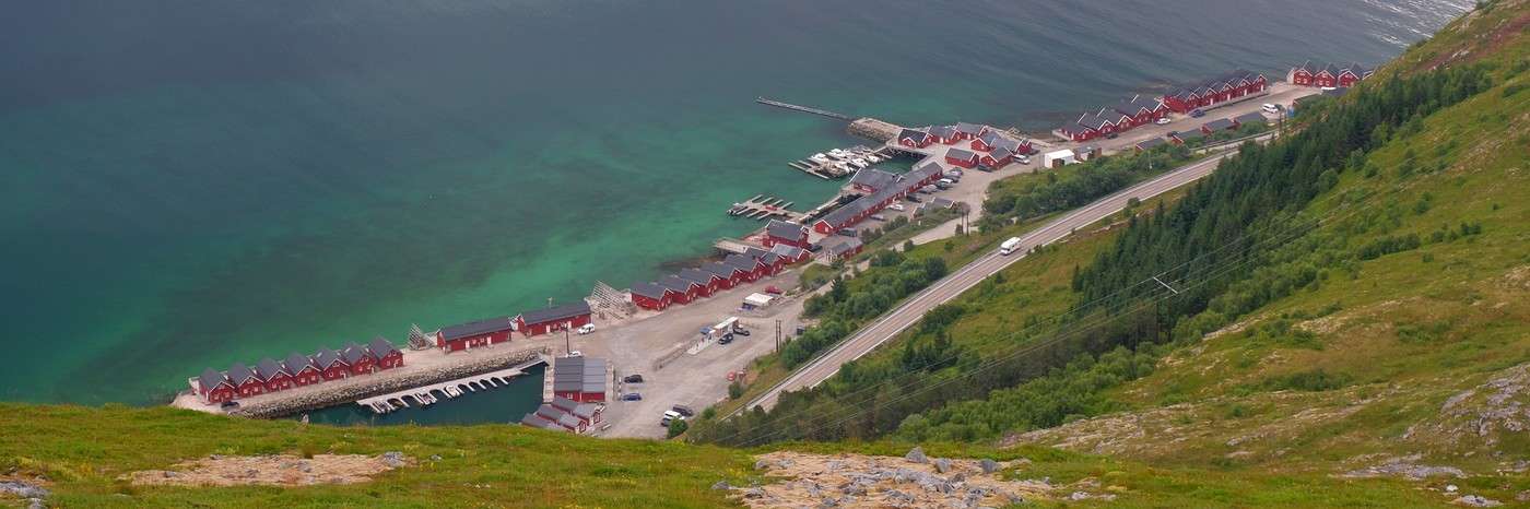
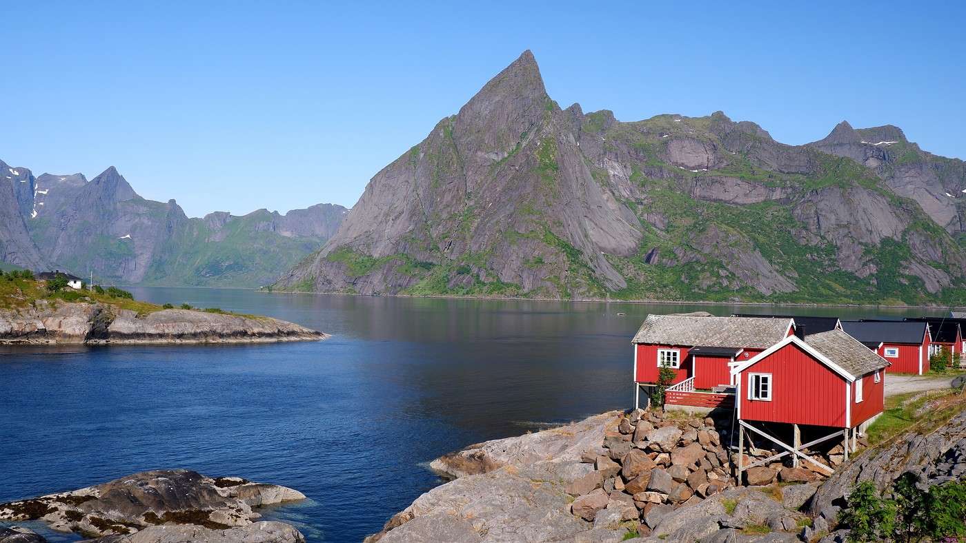
We’re also soaking up all the images of red fishermen’s cabins (the iconic *rorbuer*). Especially in Hamnøy:


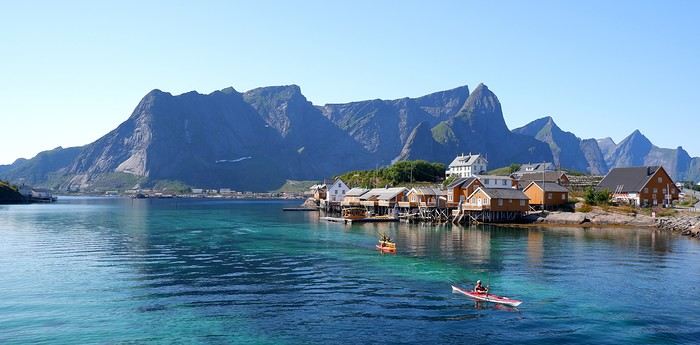
And also on the island of Sakrisøy:

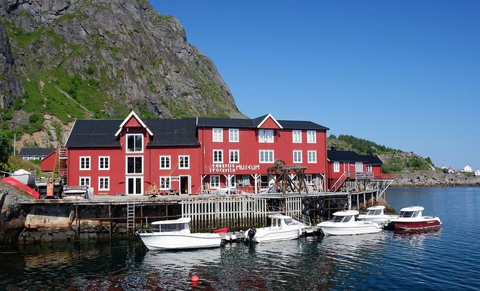
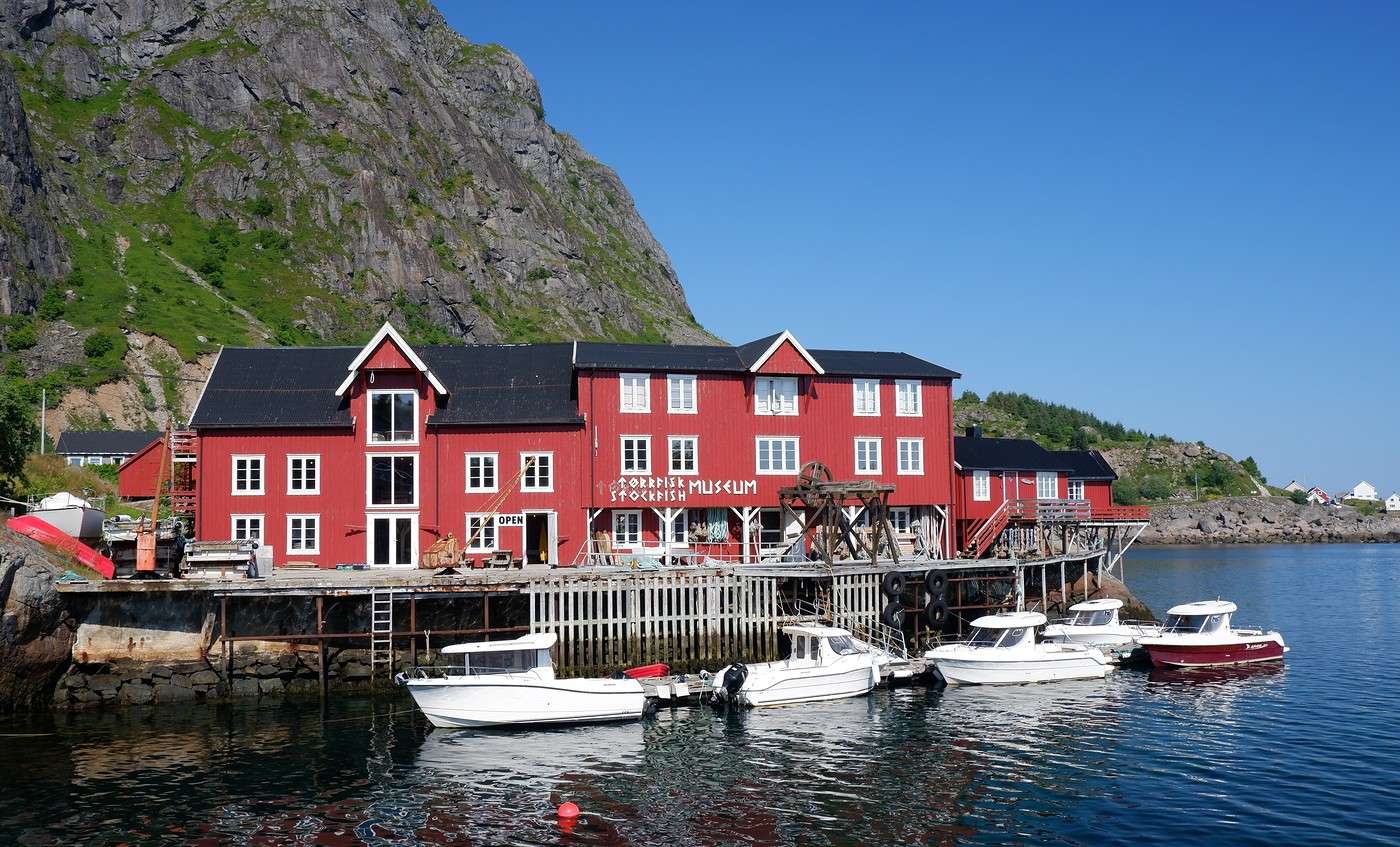
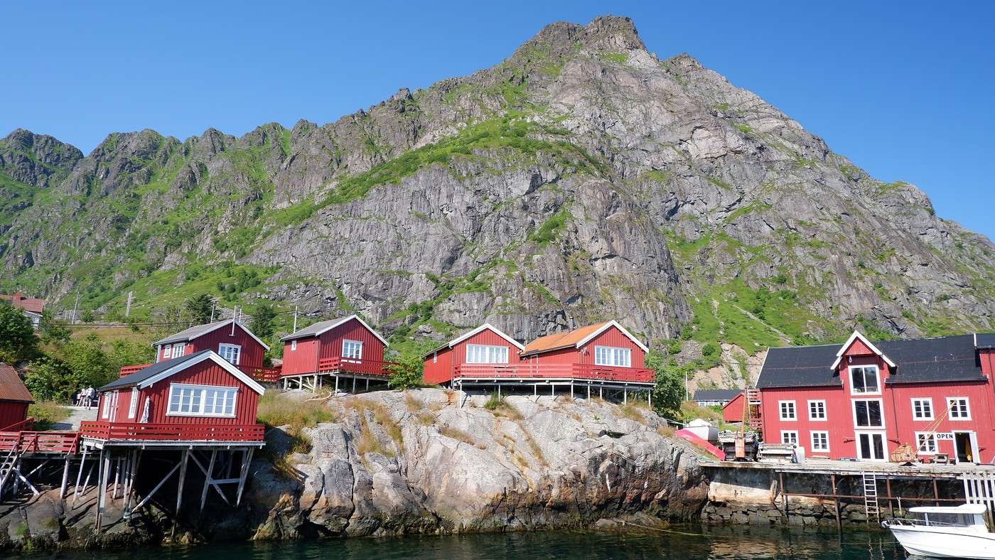
We push all the way to the village of Å, the southernmost village accessible by road, which has a big free parking lot.


Hiking on Senja Island and the Lofoten Archipelago

Orionide · 2025-11-11

It's already 3:30 PM, time to tackle the star hike of the Lofoten: Reinebringen. There's no parking at the trailhead. Several options are available: a paid parking lot in town or a free one 20 minutes' walk from the starting point. We go for the latter, figuring it'll be a good warm-up.

To get to the trailhead, we walk along the road (behind a protective barrier).

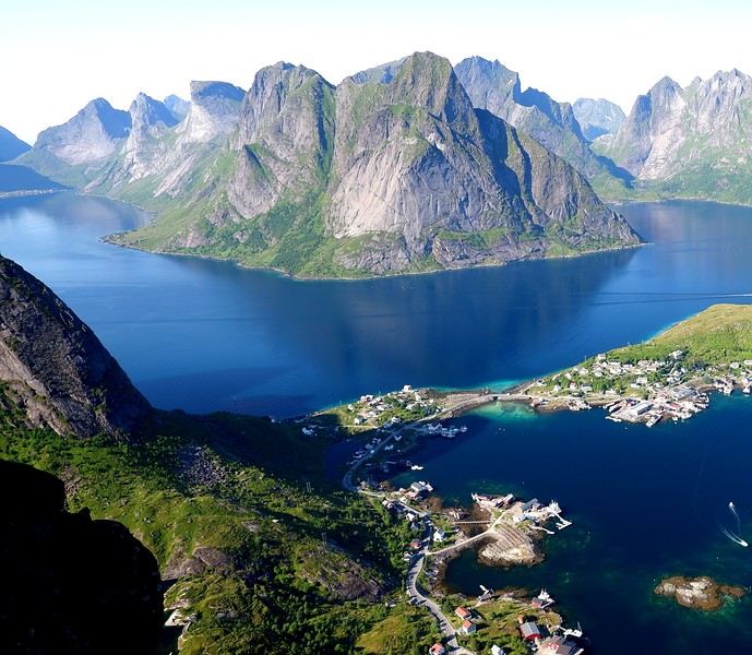
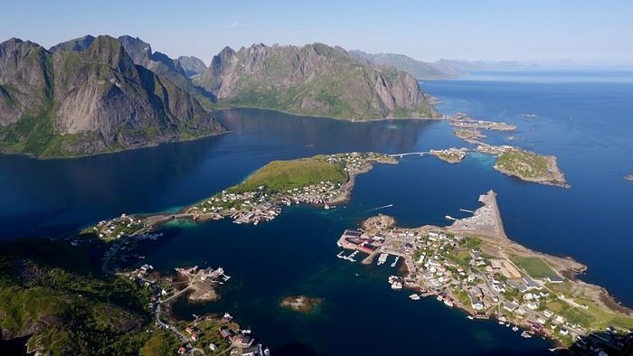
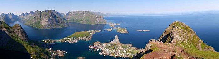
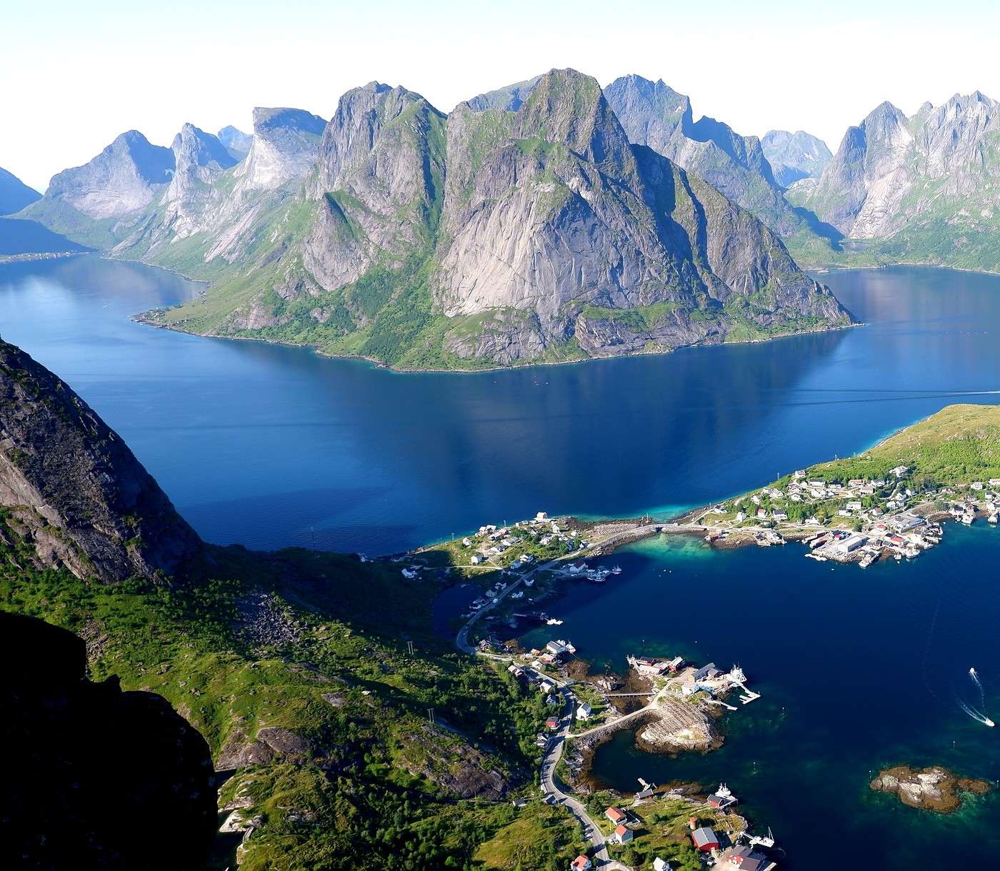
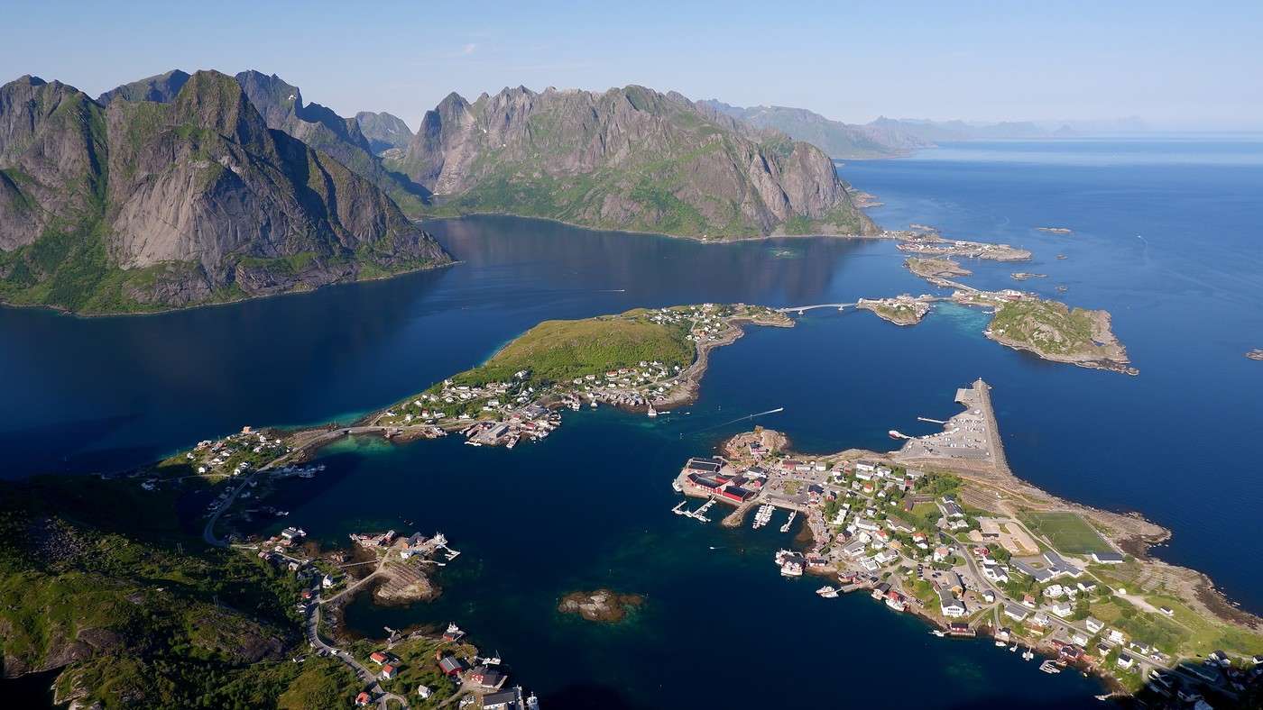
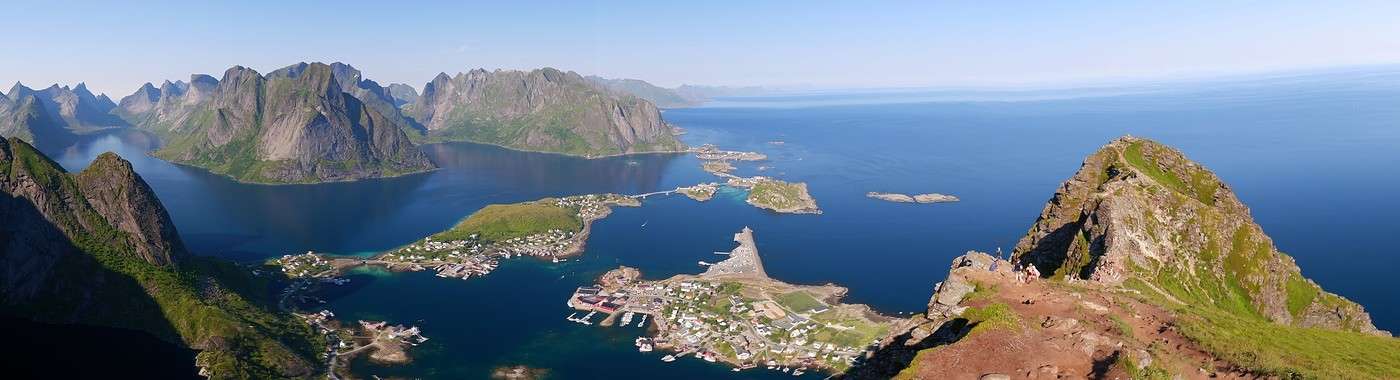
Nothing extraordinary so far, then we reach the foot of the steps: there are 1,978 to climb! Fun fact, they were installed by Sherpas. Be careful, since the view is very popular with visitors, there are not only lots of people on the steps but also a wide range in hikers' gear and fitness levels. On other trails, we hadn’t really noticed, but here it’s striking. Now, once you reach the top, you have to admit it’s a 5-star view:


After the descent, and since we’re nearby, we decide to grab a drink on a terrace in Reine to wander around the town we were overlooking just a few dozen minutes ago. We settle on a terrace for a well-earned local beer.


More details on hikes, maps, photos, etc., here if you're interested: Hiking in Lofoten

Hiking on Senja Island and the Lofoten Archipelago

Rage2001 · 2025-11-11

Thanks for bringing back these amazing memories... Reinebringen, what a legendary spot indeed. Starting from the village of Å, I hiked up to Andstabben with my eldest son—definitely one of my best memories from the Lofoten, with unforgettable views, especially of Værøy. A few photos here if you're interested: https://treksrandos.fr/lofoten/moskenesoya/andstabben-514-m/

Hiking on Senja Island and the Lofoten Archipelago

Calisson94 · 2025-11-11

Oh awesome, here’s the journal! Just discovering it now. Gorgeous weather so far and stunning photos. I see you started with Senja—so I’ll probably have a few questions for you. Good luck with the rest of the journal

Exploring Senja Island and the Lofoten Archipelago

Girardinpho · 2025-11-12

Hello, What a lovely travel journal I’ve just discovered! You were lucky with the weather. Senja is truly a stunning island—we loved it too! Looking forward to the rest of the trip!

Hiking on Senja Island and the Lofoten Archipelago

Orionide · 2025-11-12

Hi Cyril,

I checked out your photos from this hike—it really looks amazing!

Exploring Senja Island and the Lofoten Archipelago

Orionide · 2025-11-12

Hi Laure,

I’ll answer to the best of my knowledge 😉

Roaming around Senja Island and the Lofoten Archipelago

Orionide · 2025-11-12

Thanks Nathalie for stopping by this travel journal.

Exploring Senja Island and the Lofoten Archipelago

Muriel18 · 2025-11-13

Hi Jean-Philippe,

I just discovered Senja Island thanks to your travel journal... and it looks amazing! 😎 I think when it comes to the weather, like in Iceland, luck plays a big role. I’m surprised by the difference in conditions between your journal and Calisson94’s in the Lofoten Islands, which seems to take place right after yours

Exploring Senja Island and the Lofoten Archipelago

Orionide · 2025-11-13

Hi Muriel,

Yes, gloomy weather—even when you're prepared for it in these parts—can really affect how we feel. Especially since this area is best explored by hiking, and what’s more, at high altitudes to take in all those viewpoints.

Exploring Senja Island and the Lofoten Archipelago

Orionide · 2025-11-15

Wednesday, July 23:

We’ve got another azure-blue sky today, and according to the local forecast, it’ll most likely be the last one. So, we’re planning another full-day hike that doesn’t start too far from a place called Marka. From the Moskenes campsite, we pass by the village of Hamnøy again and stop at the “Lofoten Bakeri” bakery, where three pistachio rolls (better than the cinnamon ones, in our opinion) will round out our breakfast. We take the opportunity to snap a few more photos before hitting the road:


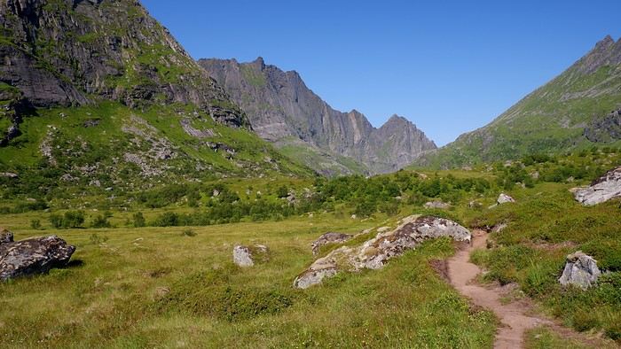
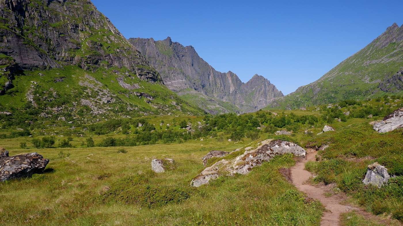
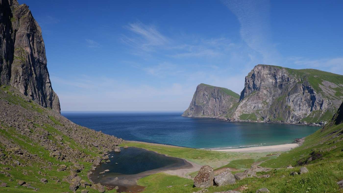
After running a few errands, it’s time to tackle today’s hike, where we’re hoping to have a picnic with a stunning viewpoint—it’s the Kvalvika hike. There are two possible starting points for this hike: either the Torsfjorden parking lot or the one at Marka. The first was full, so we set off from the second. That worked out well since it was our original plan anyway. To do a loop without backtracking, we’ll have to walk 4 km along the road. Since it’s barely trafficked, it’s not really an issue... We start the hike at 11:15 AM. At the beginning, the landscape is classic mountain terrain—it feels like we’re hiking at 1,500 meters above sea level, even though we’re only a few meters above it:


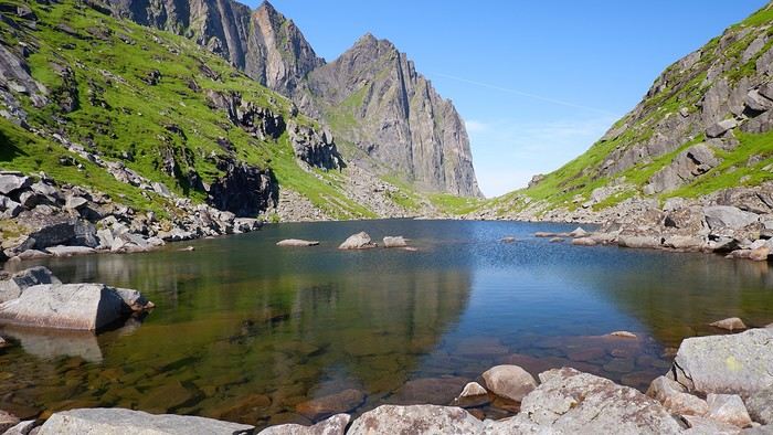
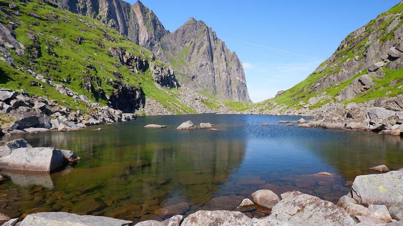
Next, we reach the edge of a high-altitude lake called Agotvanet. The trail skirting it on the right is quite rocky, making progress relatively slow.


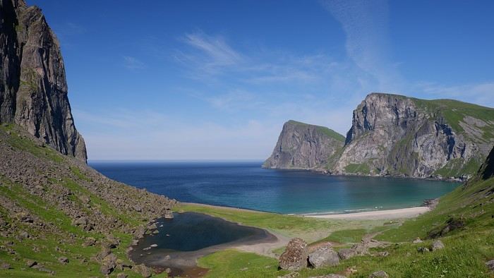
Though the walking isn’t easy on this stretch, the path is clear, and we know that once we get past it, a gorgeous view of Vestervika Beach awaits...


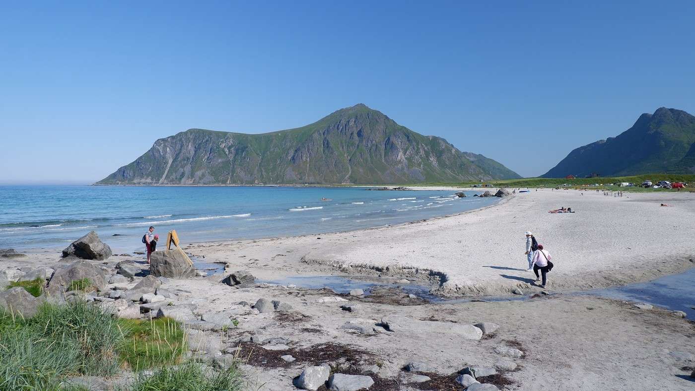
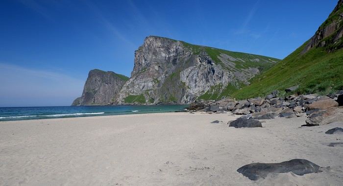
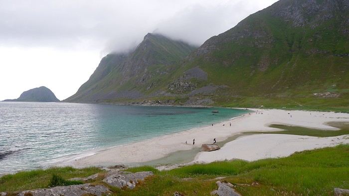
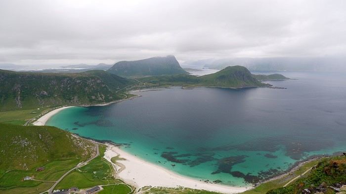
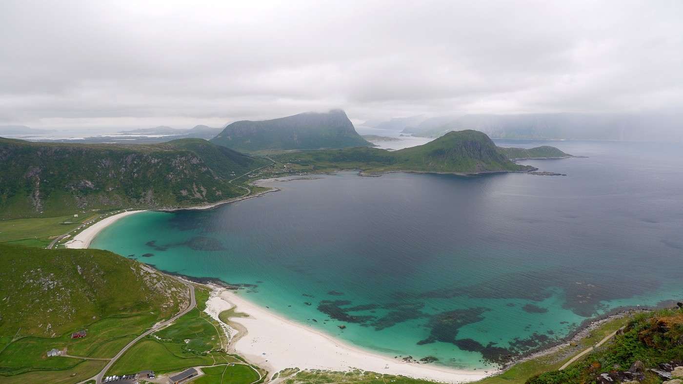
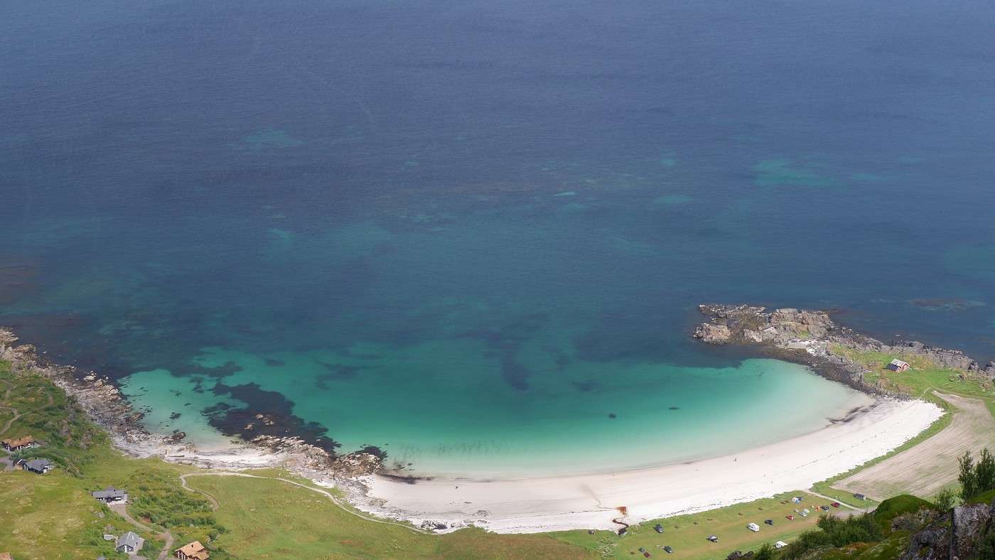
The arrival at this much-anticipated view lives up to our expectations, and we quickly notice the beach is completely deserted. Since it’s already early afternoon, the spot seems perfect for a picnic.


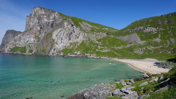
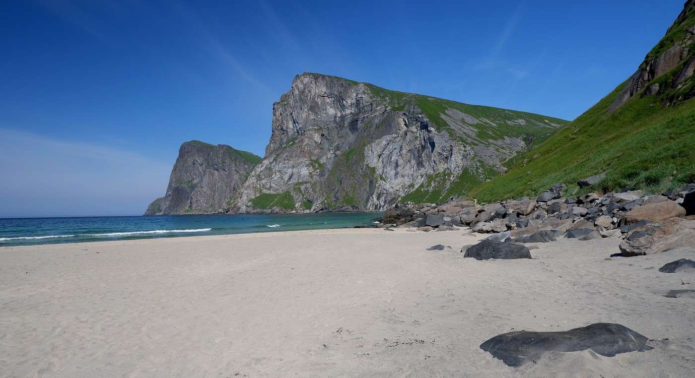
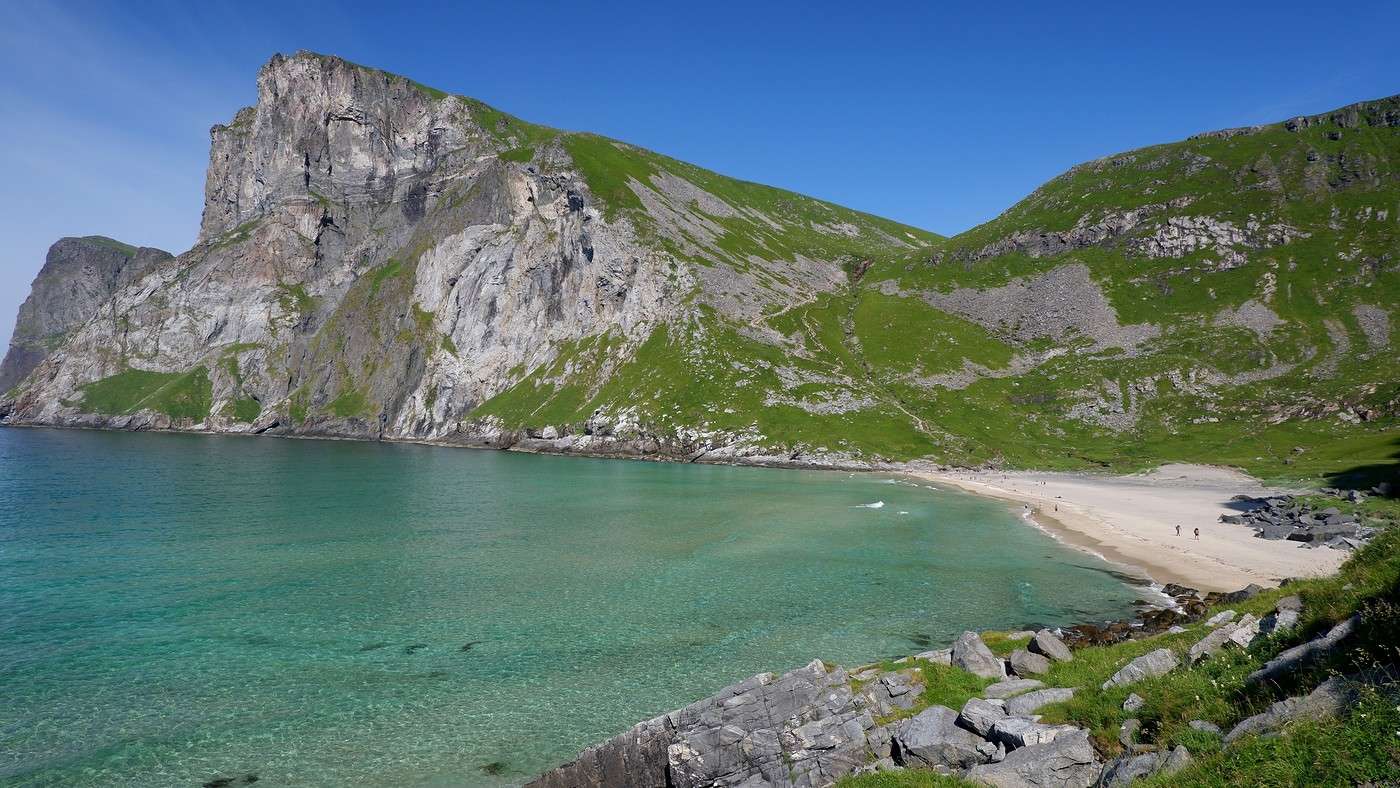
We continue toward the second beach of the day, but the route isn’t as easy as it seems—we have to cross “Cow’s Hell.” We first try going over the top, but a steep drop discourages us. So, we cross near the beach, helped by a chain anchored to the rock. After this tricky passage, we spot Nordvika Beach:


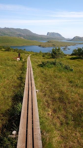
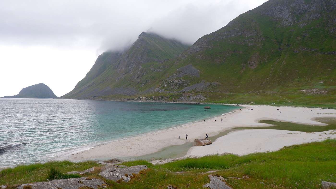
Just as beautiful but a bit busier, since the access from the first parking lot is easier, of course. Across from us, the summit of Ryten (543m) is also the focus of a great hike, but to avoid backlighting, it’s best to do it in the morning. After a break and a dip (yes, really...) in the crystal-clear water, we slowly make our way back down to the first parking lot. To avoid some muddy sections, improvements have been made:


When we get back to the car, it’s 5:30 PM. So, the loop took us 6 hours with 360 meters of elevation gain. Another enchanting hike in a varied natural setting. The Lofoten Islands in the sun bring out the superlatives, and we’re almost running out of them. We take a few more shots near our parking spot before leaving:


More info on this page if you're interested: Kvalvika

Wandering on Senja Island and the Lofoten Archipelago

Orionide · 2025-11-15

Thursday, July 24:

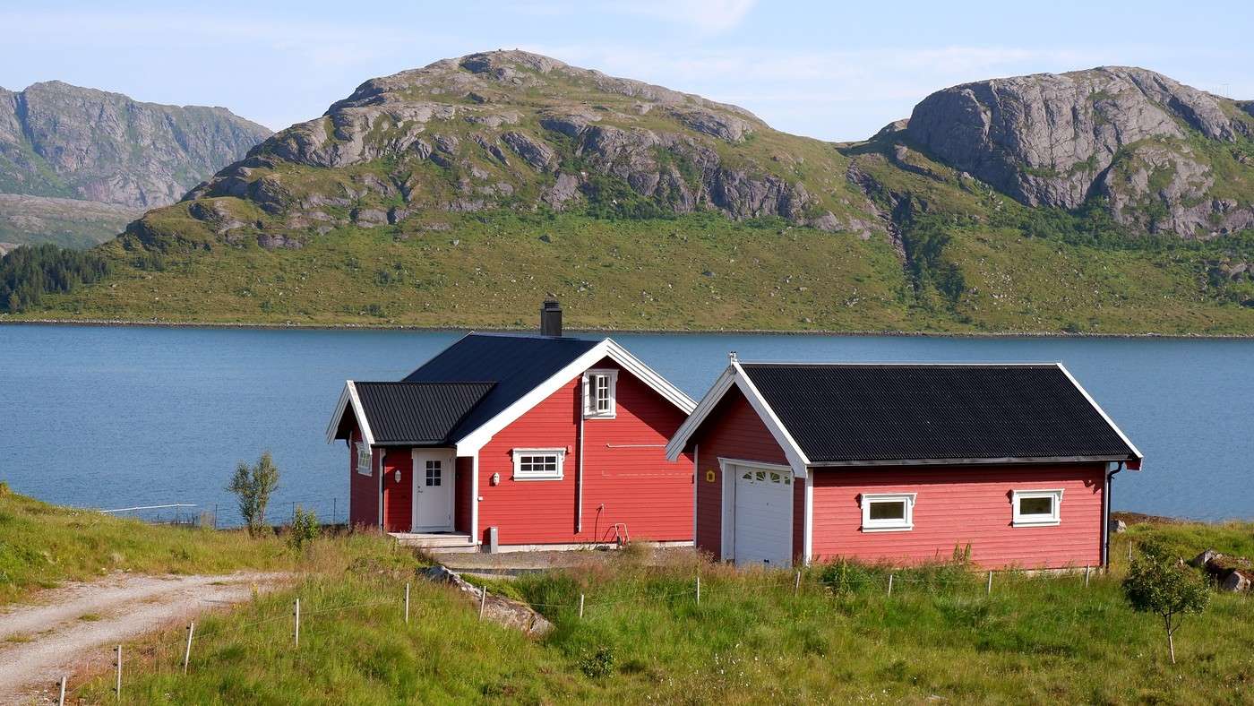
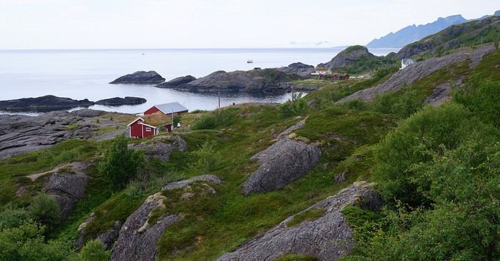
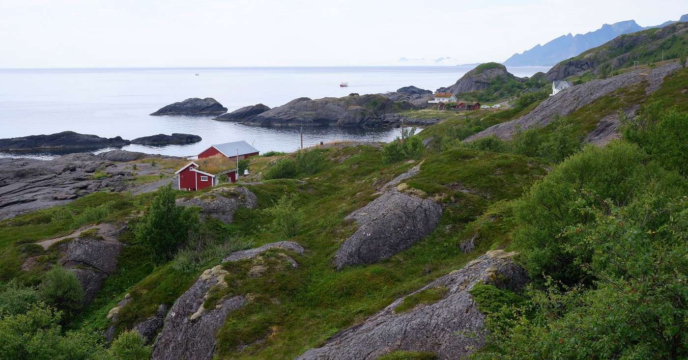
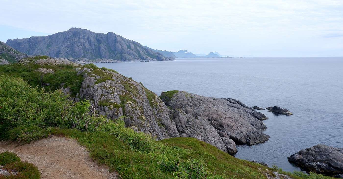
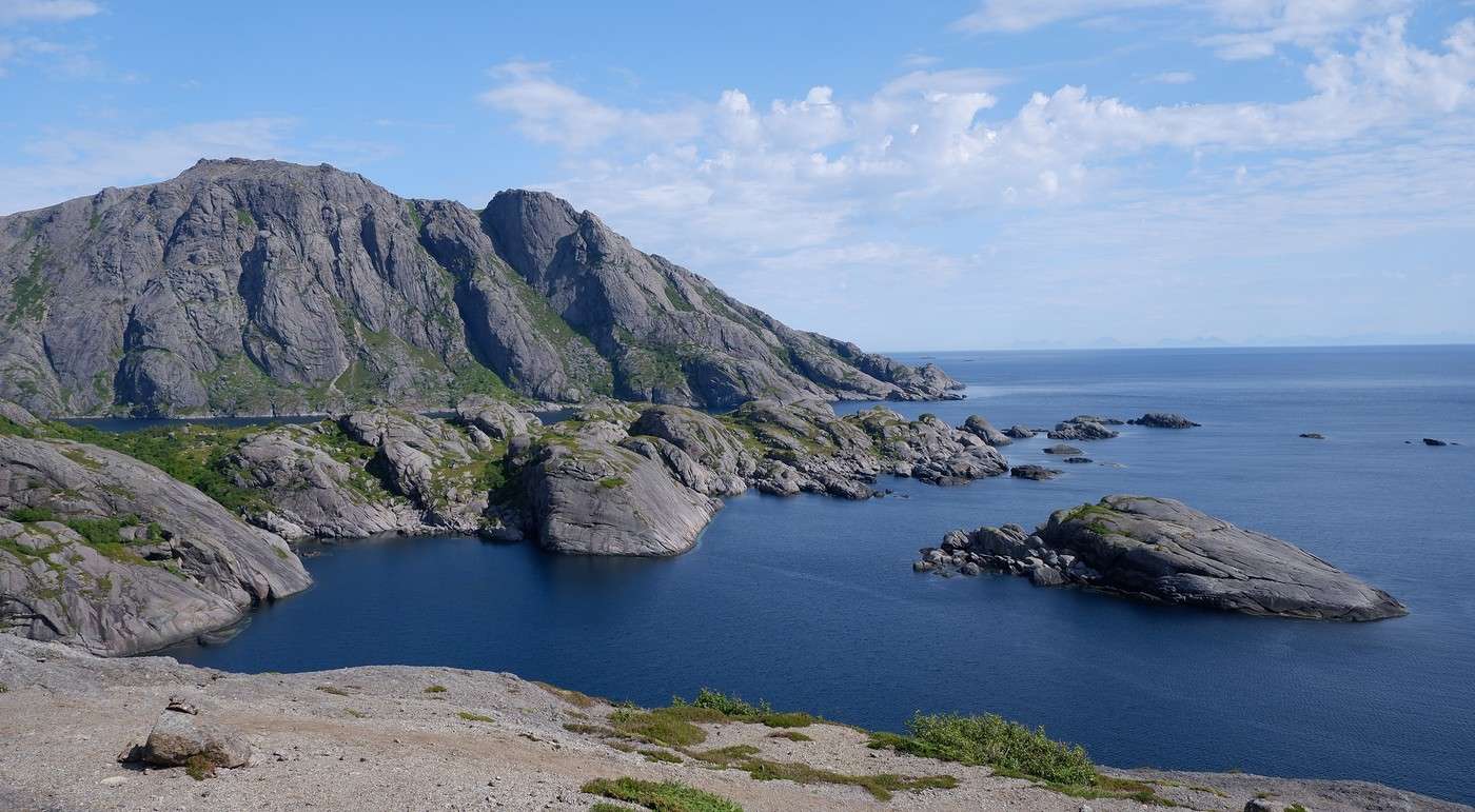
From Nesland to Nusfjord: Statistically speaking, 12 consecutive days of blue skies was pure fantasy. What had to happen, happened—today the sky is overcast. We opt for a hike close to the water, following the coast between Nesland and Nusfjord. The starting point, Nesland, looks more like a hamlet scattered with houses than a village:
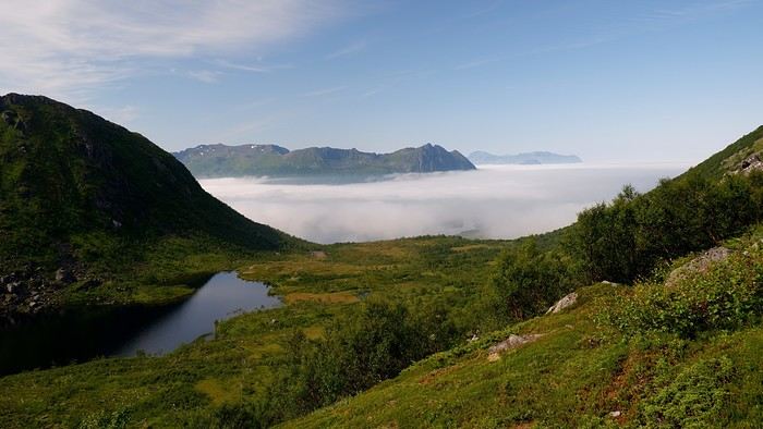


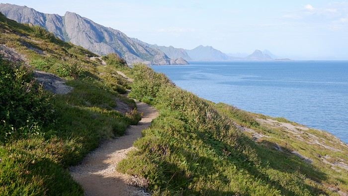
The advantage of starting from this village is that the parking is free and empty today. Even though the sky is gray, visibility isn’t bad at all. Contrary to what we might have imagined, the hike is pretty confusing because so many obvious paths have been worn into the ground by successive walkers that we sometimes end up turning back to find the main trail.


Good news: the sky is clearing up...

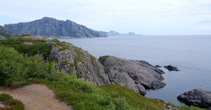
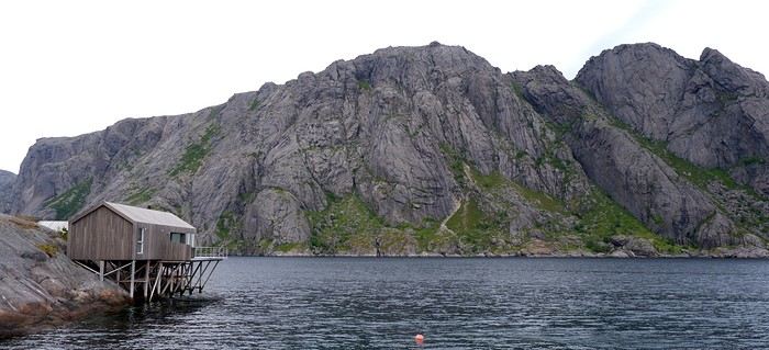
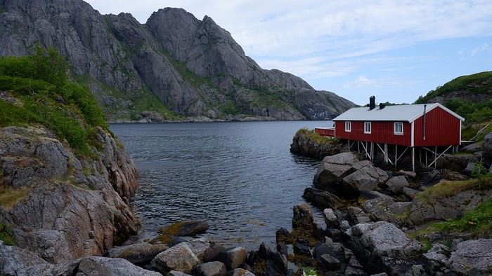
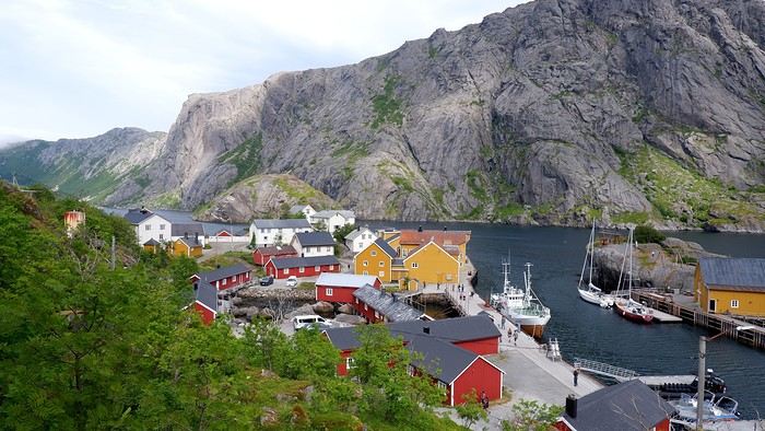
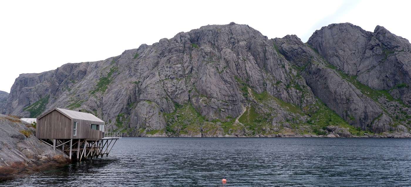
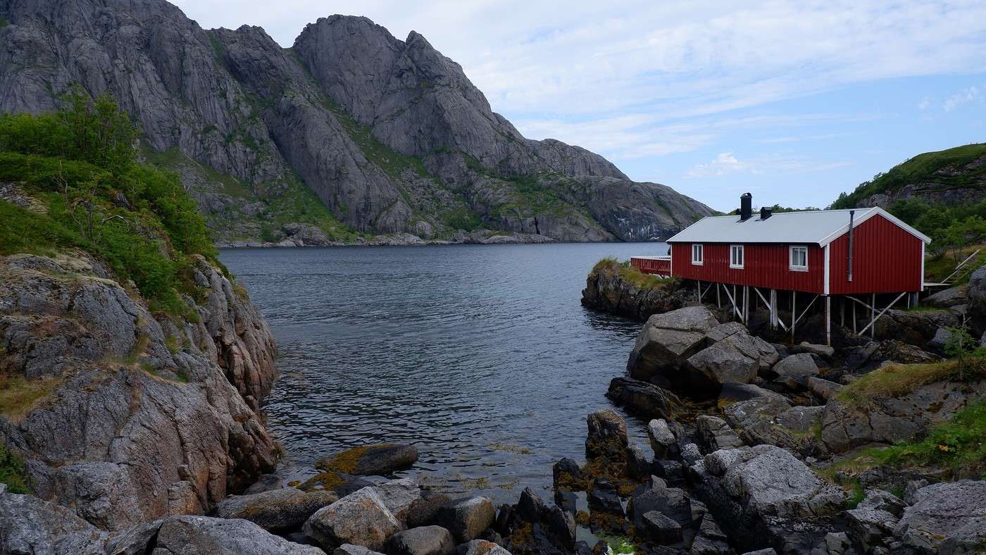
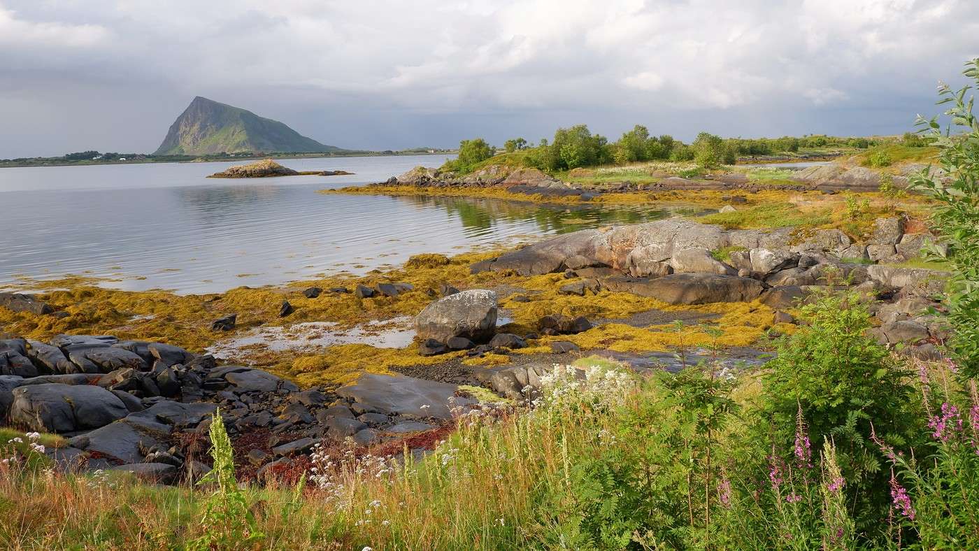
We have a picnic along the way, scanning the sea since it’s not uncommon to spot some marine mammals—but no luck this time. We approach the (small) town of Nusfjord, spotting a few well-placed *rorbuers* that blend right into the scenery:


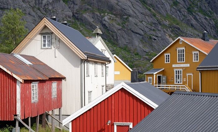
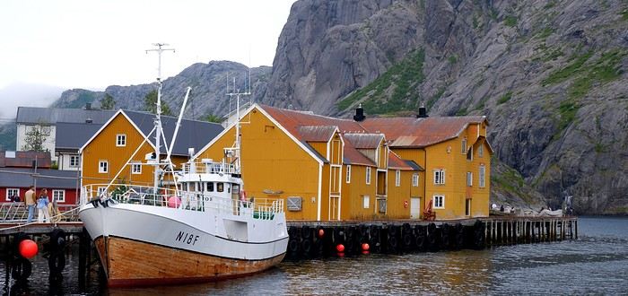
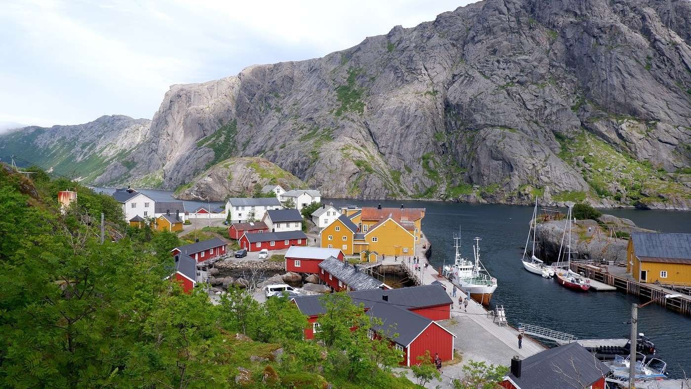
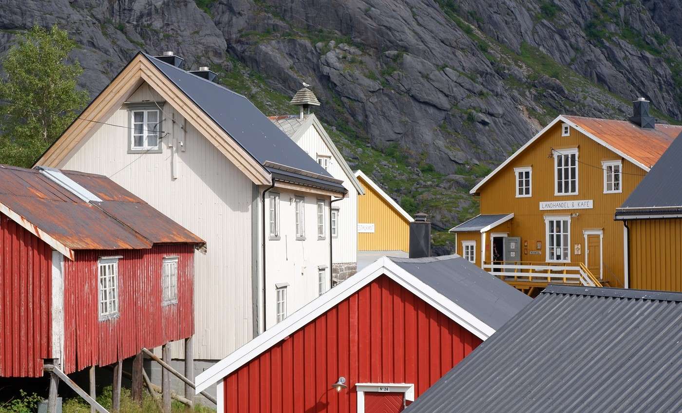
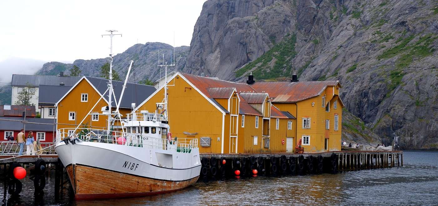
Nusfjord is a real open-air museum. Some houses display objects, paintings, and explanatory panels about the history of fishing. One house even has a cinema room showing archival footage. All the entries are free.


Before leaving, we stop at the Landhandleriet café, which sits in the middle of a small square, and take the opportunity to grab a bite. On the way back to Nesland, we get different views. The sun joins in and gives us some lovely light:


Summary: The hike was supposed to take 4 hours, but we ended up taking 7.5 hours with all the breaks, visiting Nusfjord, and the few detours in the morning. Elevation gain: 490 m, including a section with big rocks to negotiate and a 7–8 m high ladder. The hike doesn’t offer any breathtaking aerial views, but the village of Nusfjord is definitely worth a visit and has a great aesthetic. To wrap up, there were quite a few people in Nusfjord (many arrive on organized tours), but it was still very manageable. On the hiking trail, though, we only crossed paths with about 10 people max. Which we didn’t mind at all! Tonight, we’re spending a second night at Lofoten Beach Camp. The sky clouds over again in the evening, and for the first time since arriving in Norway, we eat under the shelter next to the campsite kitchen. As always, more details about this day—maps, GPX track, photos, etc.—on my post here: From Nesland to Nusfjord

Exploring Senja Island and the Lofoten Archipelago

Rage2001 · 2025-11-16

The weather has been incredible since the start of the trip... What luck! We were also pretty spoiled overall, but this is just fantastic! Kvalvika (and the Ryten summit) is one of my regrets—we didn’t have time to go there.

Hiking on Senja Island and the Lofoten Archipelago

Orionide · 2025-11-19

It’s official—the mild weather that had been with us since the start of this trip has definitely packed up and left. Fortunately, the cloud layer looks high enough, and no precipitation is forecast. But let’s be honest, the light is a whole different story now.

Today’s first hike will take us to the summit of Offersøykammen. Parking is pretty straightforward—there’s a large lot along the E10 called the Skreda area. The actual trailhead is 600 meters from this parking spot. Instead of walking along the busy E10, it’s better to take the small road to the right that leads to Lofoten Base Camp, then cross over when you’re facing the trailhead sign.

Our expectation for the day: We figured this hike would be pretty low-key, so we wouldn’t run into many people…

A few minutes later, looking back, we could already see we’d climbed quite a bit from Lofoten Base Camp:


Once past the tree line, we hit a very rocky section that kept us climbing just as much. And we were surprised to find quite a few people ahead of us, either going up or coming down from the summit. The Scandinavians (who were the majority) aren’t fooled—this summit is accessible in a relatively short but intense time and is pretty stunning, even with overcast weather.

In the distance, you can see Haukland Beach and the Mannen summit, where we’ll head next:


Summary: 436 m elevation gain, 2.5 hours round trip including a picnic break. It’s easy to see why it’s so popular—the effort-to-reward ratio is definitely in favor of the latter.

In the early afternoon, we head to our second hike of the day: the one that takes us to the Mannen summit. Watch out—all the nearby parking spots are paid. Even the local farmers are cashing in on the situation by charging tourists. One of them even tried (and failed) to charge us 10 € just for making a simple U-turn. Situations like this make me do the opposite of what’s expected, even if it means a few extra hundred meters of walking…
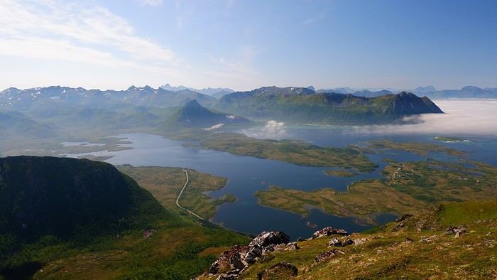
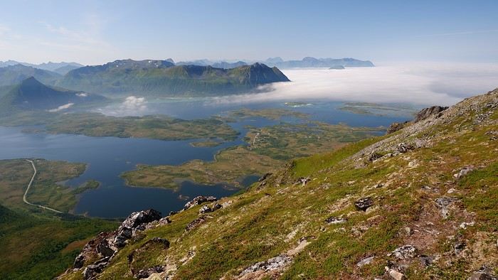
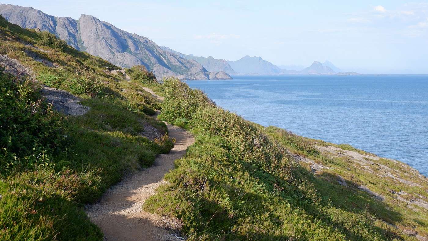
Back to the hike itself: We walk along Haukland Beach, then start a gentle climb before turning north (to our left) onto the trail. The summit is at 390 m, and the last stretch follows a ridge. We didn’t get the long-distance views I’ve seen on some sites, but given the weather, we can’t complain. Haukland Beach with the Mannen summit looking pretty socked in:


At the summit:

The clouds stuck around on the way down, and things didn’t improve:


Summary: We took 2.5 hours—it was supposed to be crowded, but today’s weather must’ve kept some hikers away.

We take advantage of a good downpour to duck into a really nice beachside bar with big picture windows, offering a great view. Tonight, we’ll camp on a small road near Eggum to be closer for tomorrow’s hike.

Exploring Senja Island and the Lofoten Archipelago

Rage2001 · 2025-11-19

I swear, I feel like I’m reliving my trip all over again! 🙂 Back in 2023, we kicked off our stay with Himmeltindan. Under bright sunshine and intense heat, it was a memorable moment: https://treksrandos.fr/lofoten/vestvagoya/himmeltindan-962-m-et-crete-de-mannen/ And Offersøykammen—I hiked up there one evening after dinner to enjoy the never-setting sun at that time of year. Absolutely fantastic too: https://treksrandos.fr/lofoten/vestvagoya/offersoykammen-436-m/

Hiking around Senja Island and the Lofoten Archipelago

Orionide · 2025-11-20

Oh yeah, totally 😎 We almost missed the Offersøykammen hike, which wasn’t listed in the Rother Top 10, but it turned out to be a really nice surprise.

Hiking on Senja Island and the Lofoten Archipelago

Orionide · 2025-11-22

Today’s planned hike comes at just the right time—following the coastline, it’ll keep us from ending up in the heights with our view obscured by clouds. This is the route from Eggum to Unstad. That said, the rain that’s bound to show up will probably force us to turn back, so we might have to switch to Plan B.
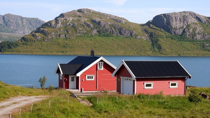
So we set off this morning toward Eggum without being sure we’ll complete the walk. The parking is paid—or rather, the road leading to the site is. Oddly enough, you have to drop money into a box, but no receipt is given in return. You can also pay directly at the café next to the parking lot.

Note that on a promontory overlooking the parking area, you can check out the remains of an old German radar installation from World War II.

Before heading out on the hike, we double-check that our rain gear is in the bag—the clouds have never looked so threatening!


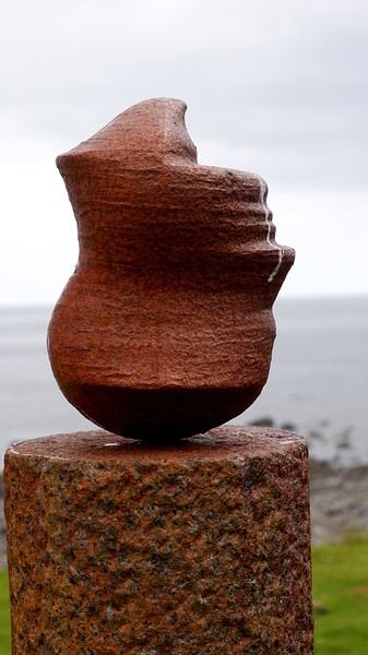
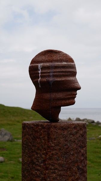
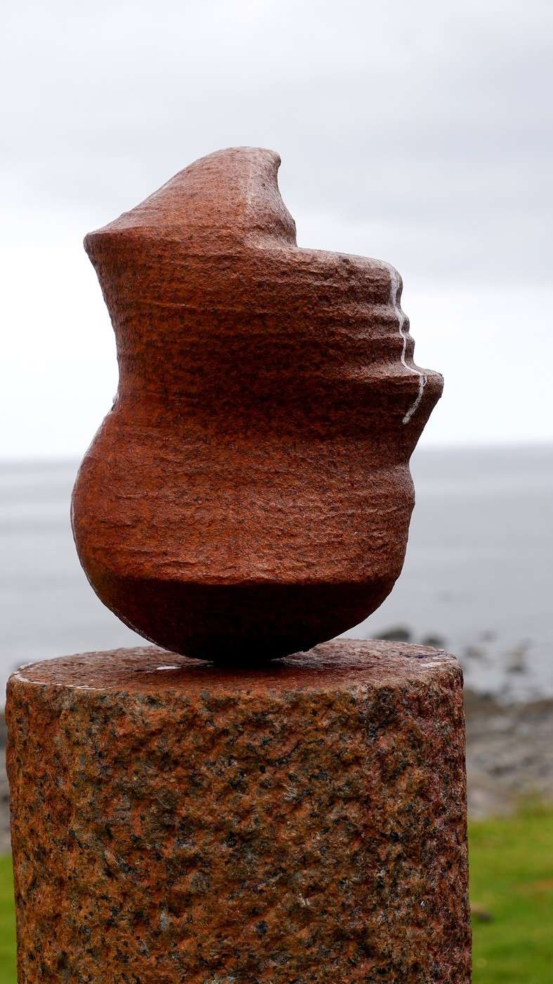
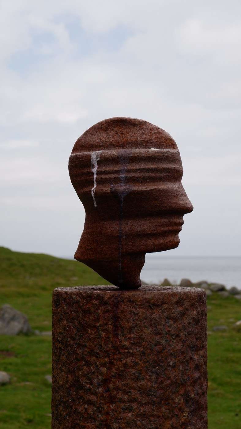
After 20 minutes, we come across Markus Raetz’s sculpture—unsurprisingly, though I’d say *almost* unsurprisingly, since we expected it to be bigger. Nope, it’s actually life-sized. When you walk around it, the perspective changes completely because the head appears upside down. The artist invites everyone to occasionally shift their viewpoint to better understand the world around them.


The inevitable rain arrives after an hour of walking, in the form of a curtain crashing down on us. We have no choice but to turn back, and as we feared, we won’t make it to Unstad, which was supposed to be the endpoint of this hike.


We’ll even have our picnic in the car—the poor table inside the café was already taken. Plan B, which we had up our sleeve, now takes over: a visit to the Lofotr Viking Museum, just 10 minutes by car from Eggum. We’ll spend 3 hours there and were pleasantly surprised. Admission is around 20 € per person. You can download (for free) an audio guide onto your smartphone, so don’t hesitate to bring your headphones. There are 2 large exhibition halls plus a cinema room. The rest is spread out over several hectares. You’ll see, among other things, a large reconstructed farm with artisans working right in front of you. A 1.5 km walk away, you can try your hand at axe throwing, archery, or even take a (short) ride in a longship. Bonus: the sky clears up, which is great since we wander around as much outside as inside in this museum! Though entirely reconstructed, the museum was actually the site of a Viking farm, and excavations are still ongoing. You’ll learn all about this in the short introductory film in the cinema room.

When we leave the museum, the afternoon is already well underway, and we head toward our next campsite.


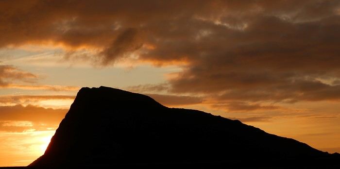
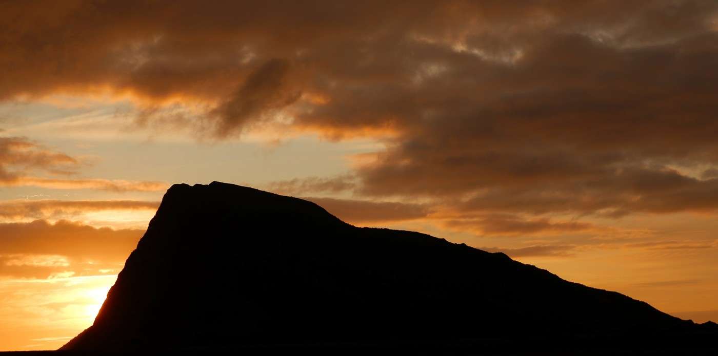
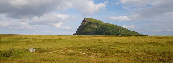
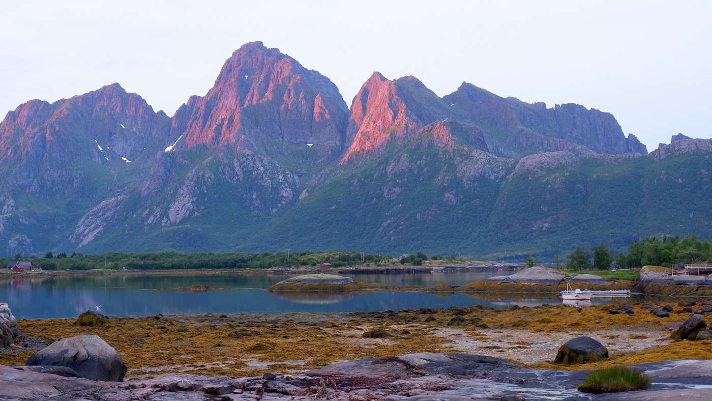
You can see the sky has shed most of the clouds that were weighing it down. We look for a spot to spend our second consecutive night camping and find our perfect spot on a tiny parking lot along Fv 862, not far from where we’ll start our hike tomorrow. The only downside is that we’ll be surrounded by marshes. We’ll sleep in the car. The mountain Hoven, seen here and which we’ll climb tomorrow, is nicknamed the "shark fin," and you can easily see why!


The sun and clouds help create a beautiful scene:


At the end of the day, the sky ignites:


If you’d like more details—photos, maps, GPS tracks, etc.—I’ve laid it all out here: From Eggum to Hoven

Hiking around Senja Island and the Lofoten Archipelago

Marati · 2025-11-24

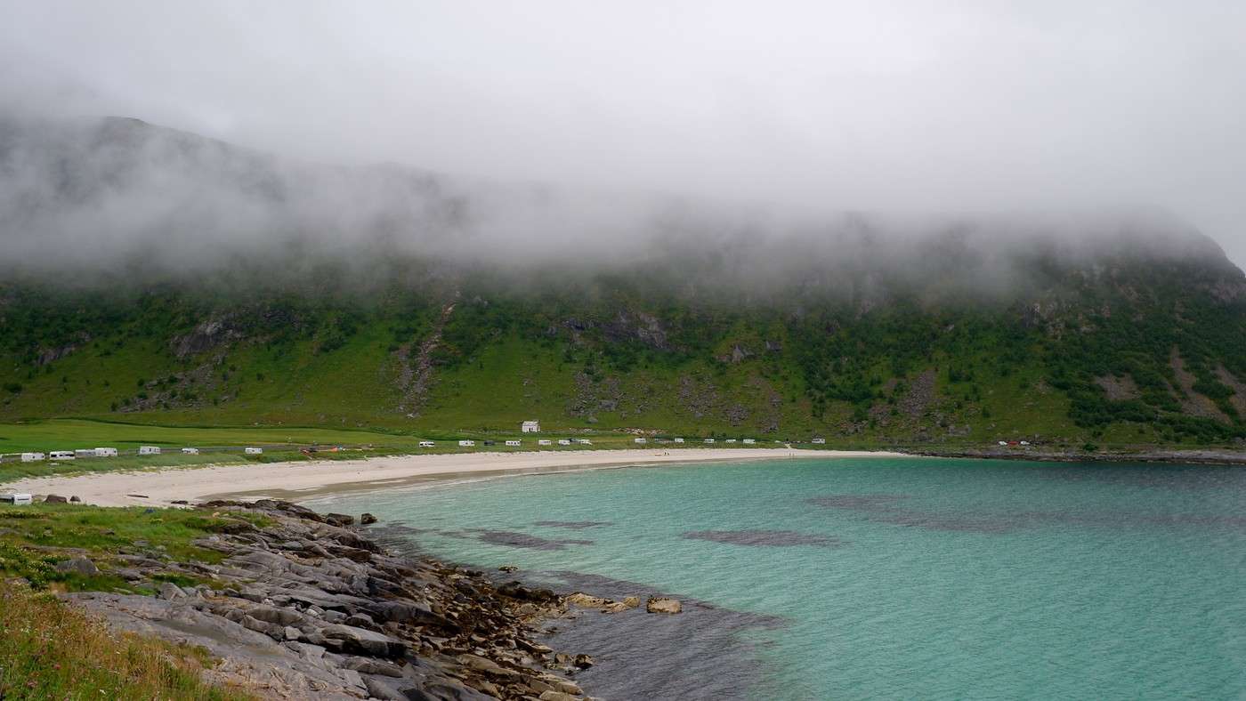
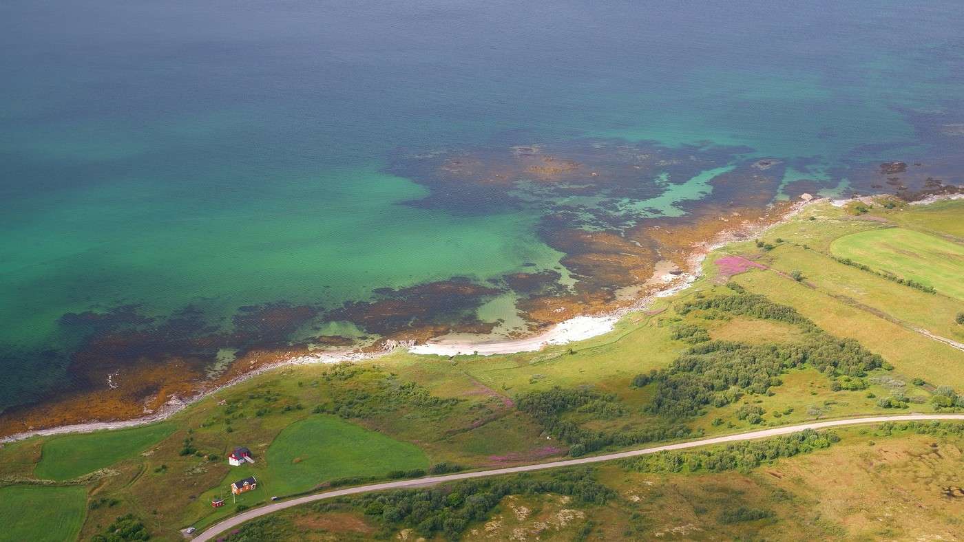
What an incredible sequence of hikes—each one rewarding you with breathtaking panoramas after the effort! And the beaches are just as stunning, with their sand colors and the seabeds that turn the water into a turquoise paradise 😇 !

Exploring Senja Island and the Lofoten Archipelago

Orionide · 2025-11-26

I confirm, Guillaume, it’s definitely a must-experience. However, we often thought it was quite a challenging destination...

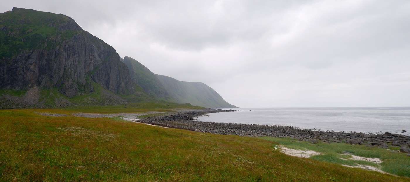
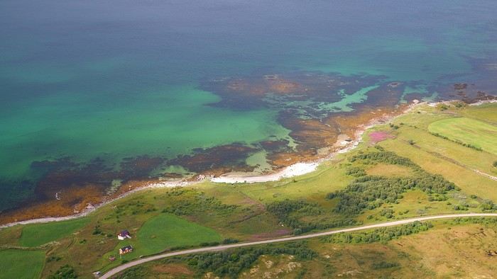
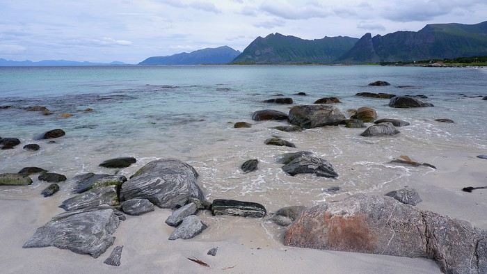
From Hoven to Svolvaer: In the morning, we’re greeted by a completely different view of the “shark fin.” The night was peaceful on this stretch of road, and you can tell this part of the archipelago is less crowded than the south. Mount Hoven stands out for its isolation—it’s the only promontory in the area: Between last night’s dinner and this morning’s breakfast, we can’t say we didn’t take our time admiring this mountain. It’s time to climb up there to see the surroundings from a new angle. The parking lot at the trailhead costs 100 kroner, but if you park 30 meters farther at the golf course parking lot and grab a drink, the spot is free. It ends up being the same thing, but you get a drink out of it. Climbing to the top of the mountain is pretty easy, and the view—both over the marshes and the sea with its shades of blue—is, once again, stunning:
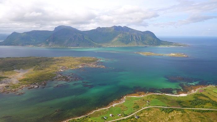
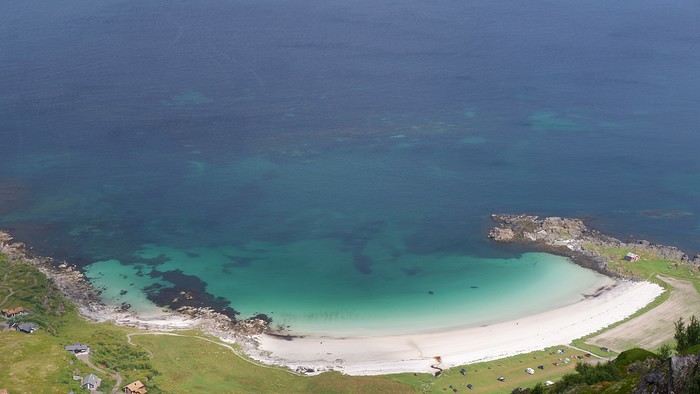
The beautiful Hovsika beach below:


Summary: The hike was supposed to take 1h45, and that’s exactly how long it took us, including breaks. We’ve seen some incredible landscapes from above since the start of this trip, and even though they’ve become familiar, we never get tired of them. Afterward, we had a picnic on the gorgeous Gimsoy beach, parking at the grocery store lot on the other side of the road:


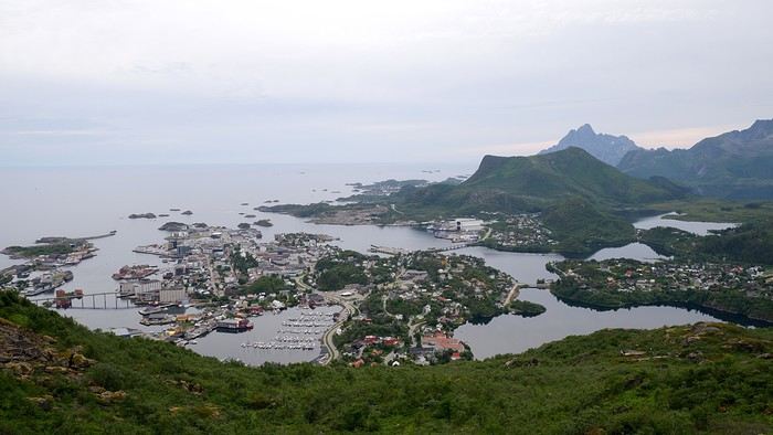
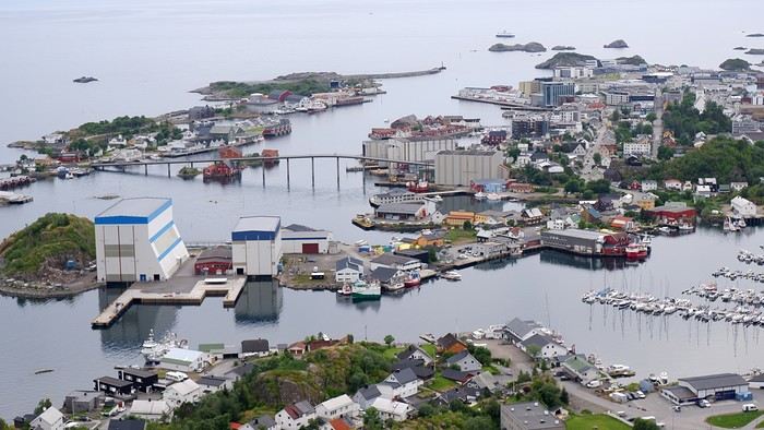
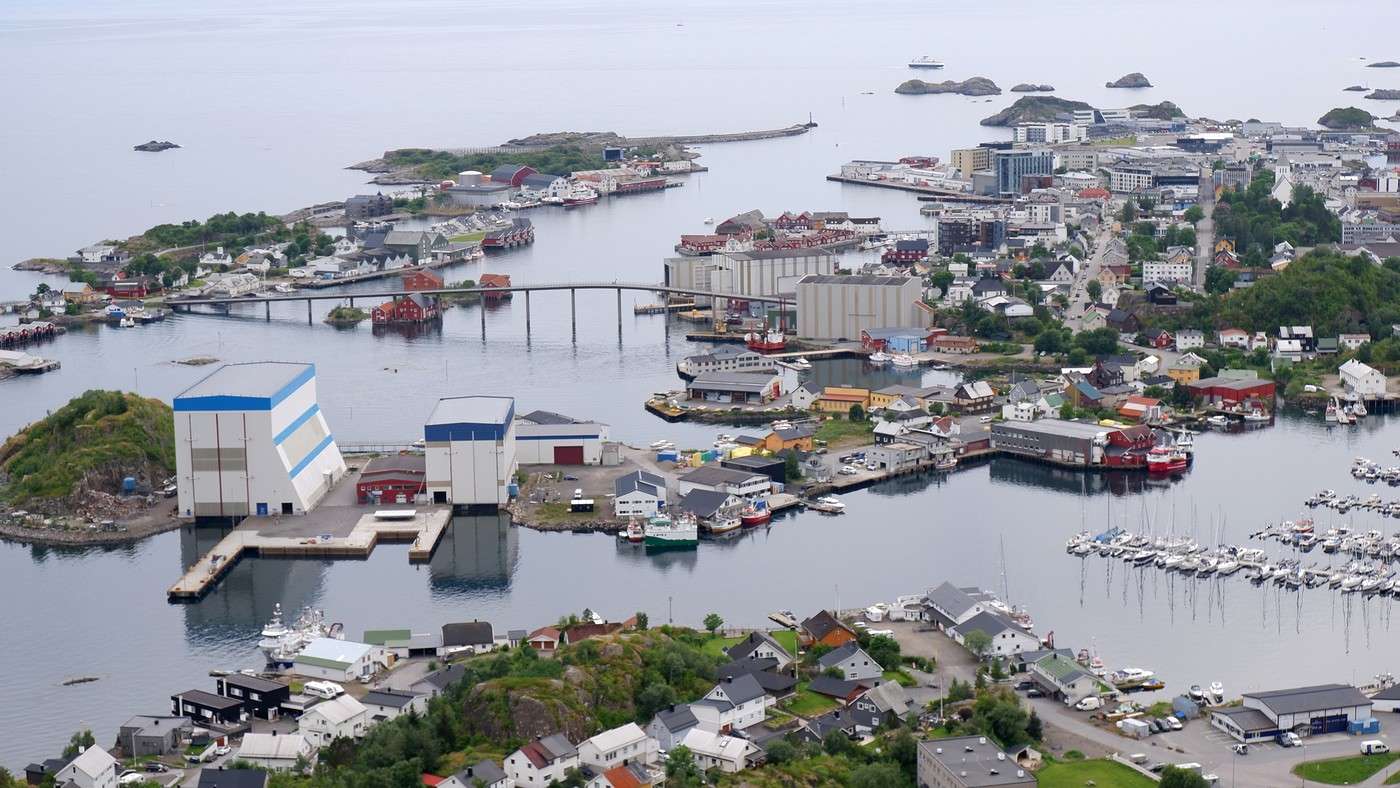
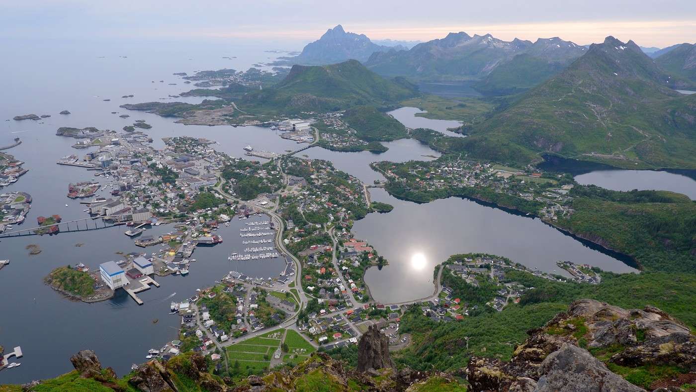
Since this hike didn’t take much time or energy, we planned another one in Svolvaer. Even if the sky was getting cloudy, the clouds stayed high enough. The hike that kept us busy for most of the afternoon was the one leading to the top of Mount Floya (590 m). Since it was Sunday in Svolvaer, many locals were out with their families on the trail. Note: The parking lot at the trailhead is paid. Like in Reine, the first few hundred meters involve climbing steps built by Sherpas, followed by a steep grassy trail. As we climbed higher, the view of Svolvaer changed and became more expansive:


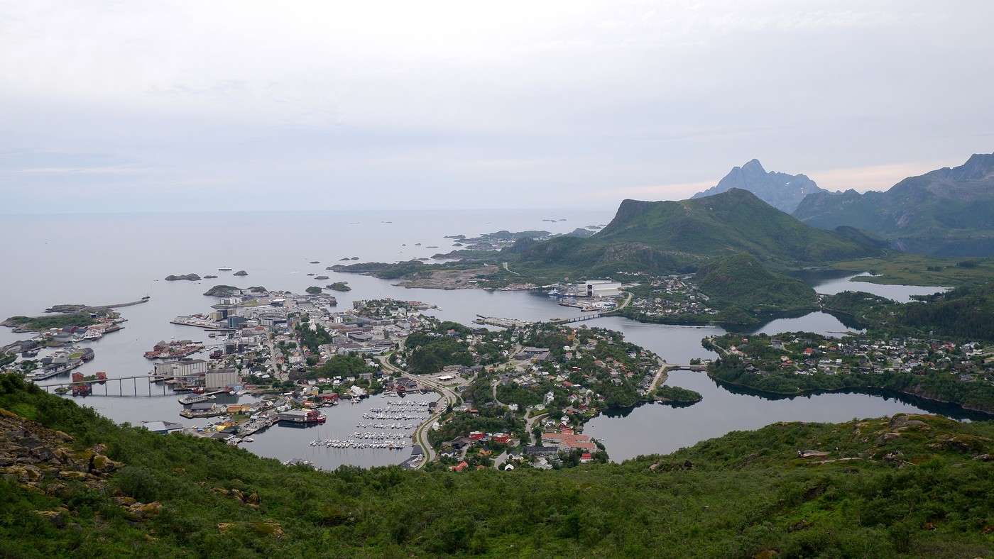
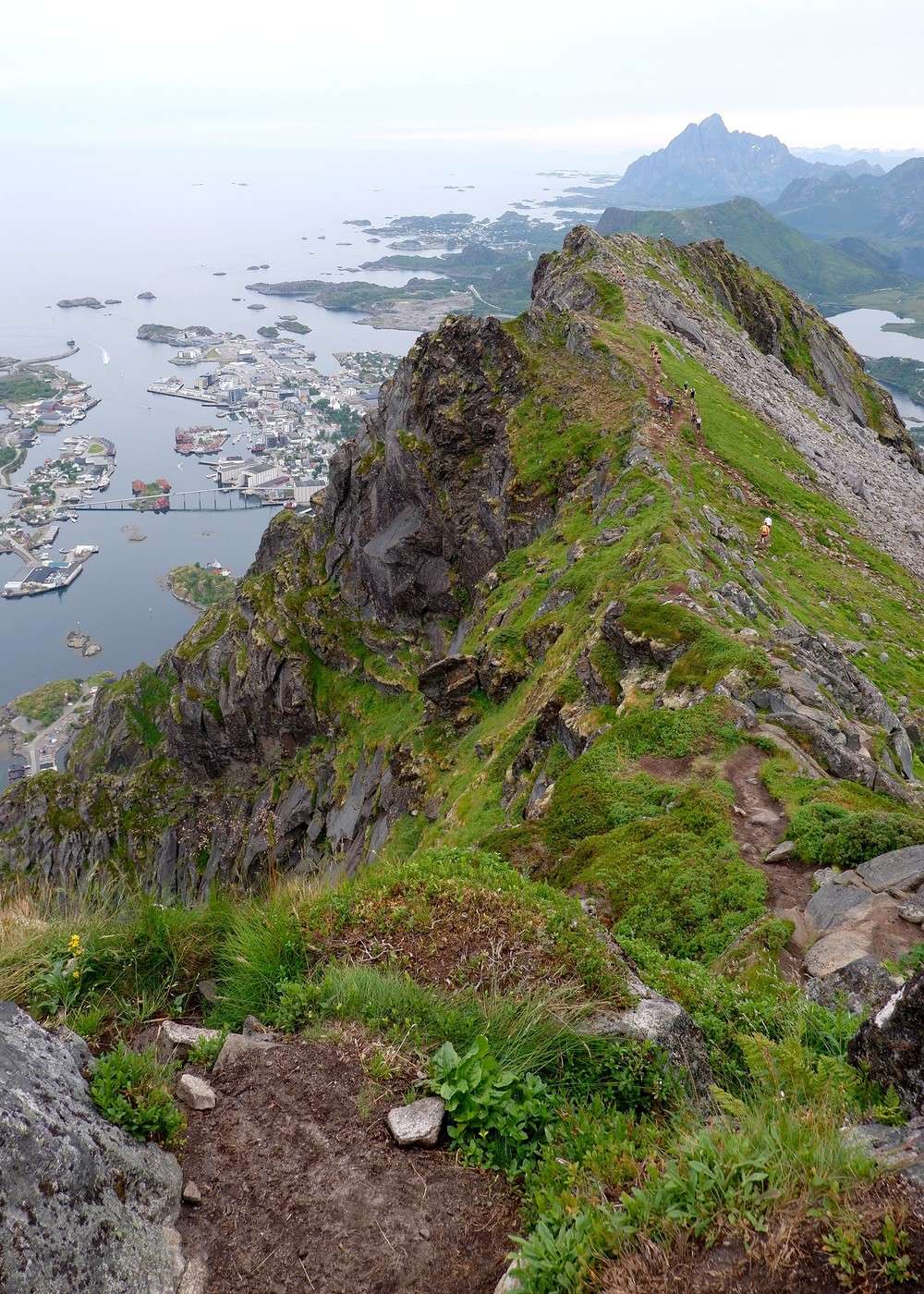
After a sustained effort, we reached the summit, and it’s at the very end that the full view of Svolvaer opens up. All that’s left is to walk along the ridge trail:
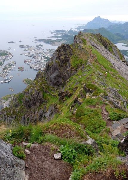
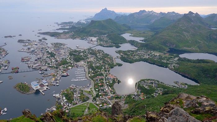
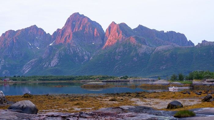
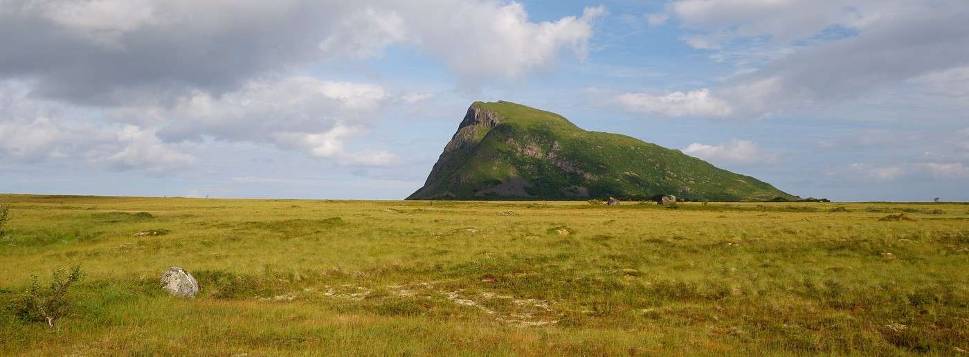
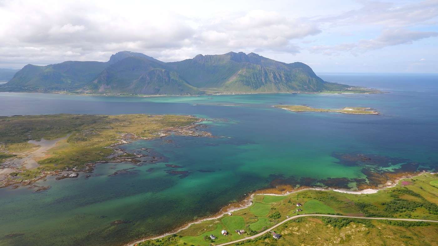
The view is amazing, though the light wasn’t ideal. Still, we can see why this hike is so popular.


Today, once again, we matched the time estimates from the hike description—it took us exactly 3 hours to complete. It’s a pretty sporty hike but still family-friendly. We even saw quite a few young kids. And the view of Svolvaer and the surrounding area is absolutely worth the effort. Back at sea level, we headed to Hammerstadt Camping for a well-deserved shower and then returned to town. Tonight, we’re dining at one of the best restaurants in the Lofoten for the only time during our stay: Borsen Spiseri. We weren’t disappointed at all—given how rare it was for us to go out, we savored every second. For two people, the cost was just over 200 € for a menu (starter, main course, dessert) plus an aperitif and a glass of wine each. Side note: We skipped the whale dish. Afterward, we noticed that over the days, the sun has been getting lower on the horizon in the evenings, and the light takes on the hues of a sunset:


If you want the GPX tracks for the hikes and more photos and descriptions, check it out here: From Hoven to Svolvaer

Roaming around Senja Island and the Lofoten Archipelago

Rage2001 · 2025-11-26

Mont Floya—another one of my regrets... Didn’t have time to climb it, but it looks gorgeous! Mont Hoven, though—that one I remember... I did the ascent under the midnight sun, absolutely amazing!

Roaming around Senja Island and the Lofoten Archipelago

Orionide · 2025-12-01

This is our last full day in Norway, and our schedule is pretty packed. After doing some final shopping (mostly souvenirs) in downtown Svolvær, we thought we’d squeeze in one last hike before hitting the road to the Evenes campsite, just minutes from the airport. But we’re taking it easy in the morning—on the road, too. We have a picnic in front of a gorgeous landscape, we dawdle, we soak in the views, we chat, and we almost feel like lounging in a deck chair…


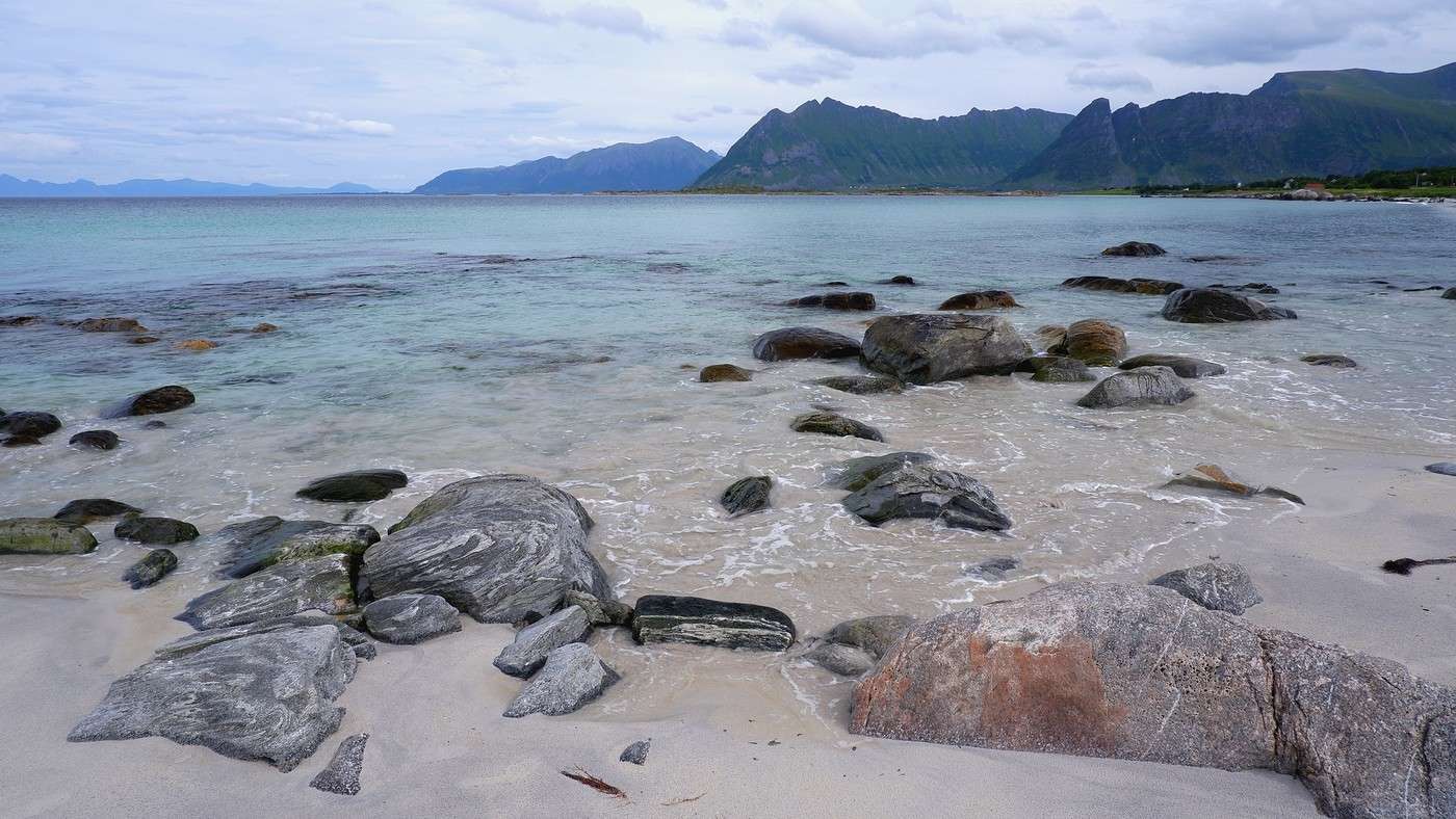
With the low cloud ceiling, our planned hike gets scrapped as soon as we pull into the parking lot. The afternoon’s already well underway, and the 2.5-hour trek would probably have us arriving at the campsite pretty late. No big deal—we’d spotted a charming little beach near Trollskarholmen just before arriving, and we head there to relax (no swimming) for half an hour. The colors, despite the overcast sky, are still stunning.


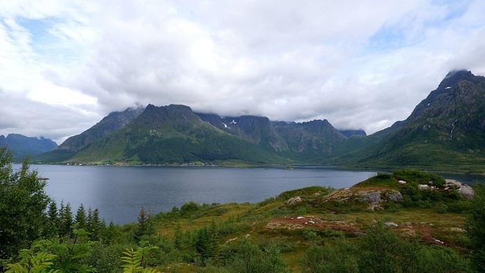
We’re back on the Fv868, which we’d already explored a week ago when the Hurtigruten passed by:


We arrive at the Evenes campsite in the early evening, not without first scouting out the car wash station attached to the gas pump between the campsite and the airport. The campsite was full that night—right by the Ofotfjord and just 5 minutes from the airport.

For our last day (just a morning, really): Nothing special, except we spent over an hour thoroughly cleaning the car before returning it to the airport parking lot. Watch out—don’t arrive too late at the car wash station, as it’s pretty popular, and it’s only one car at a time!

That’s it—I’ve finished this travel journal. For everything related to the organizational side of this trip (flights, car rental, insurance, accommodations, guides, budget details, etc.), I’ve laid it all out on the homepage of my blog here: https://jeveuxcamperauxlofoten.blogspot.com/ I’d read that Norway was a super expensive destination, and the budgets mentioned in some travel journals and blogs almost made us reconsider. But traveling the way we did, we actually managed pretty well—12 days cost us 2800 € all in (even souvenirs). Sure, we didn’t pay for the return flight (just taxes), and we didn’t stay in any hotels, but we treated ourselves to a few nice experiences: a Nordic bath and sauna, the Viking Museum, the Ice Bar in Svolvær, and a really good restaurant. For the rest—and what lets you truly appreciate the Lofoten’s most beautiful offerings—let’s not forget that hiking is free.

Hiking on Senja Island and the Lofoten Archipelago

Muriel18 · 2025-12-02

Thanks for this travel journal that let me discover Senja Island (which I didn’t even know the name of, unlike the Lofoten ). The landscapes are stunning in the sun, but even under overcast skies, the colors of the water stay gorgeous—it’s pretty amazing. And kudos for the athletic side (which I’d definitely be incapable of pulling off ).

Exploring Senja Island and the Lofoten Archipelago

Orionide · 2025-12-03

Thanks Muriel for your feedback.

Exploring Senja Island and the Lofoten Archipelago

Rage2001 · 2025-12-04

Thanks for this lovely travel journal!

Hiking on Senja Island and the Lofoten Archipelago

Orionide · 2025-12-05

Thanks Cyril !

Wandering around Senja Island and the Lofoten Archipelago

Calisson94 · 2026-01-21

After a pretty disrupted end of the year, I’ve finally caught up with the rest of your travel journal. You really made the most of those beautiful days and handled the less sunny weather like pros. Thanks for this lovely share!

VoyageForum — the largest community of French-speaking travellers.