Back to the discussion

in Entre deux voyages › Carnets de voyage

Trek in Norway: Jotunheimen and Dovrefjell, you’ll adapt to the rain... (page 1 of 2)

Discussion started by Calisson94 on 2026-10-13

25 replies

This thread has been translated into English.


Trek in Norway: Jotunheimen and Dovrefjell, you’ll adapt to the rain...

Calisson94 · 2026-10-13 · Message 1 of 26

In the summer of 2026, we packed our backpacks again to wander around Jotunheimen National Park in Norway.

We’d never heard of this park just a few months earlier—we discovered it by following threads online.

It’s billed as the most mountainous park in the country, which really appealed to us after scrapping our original plan further north.

Unfortunately, it’s also the most crowded, which immediately made it less appealing! The presence of the highest peak in the Scandinavian Alps and the "famous" Bessengen ridge (famous because it’s apparently well-known across the country) probably has a lot to do with that.

Since we’d managed to avoid the crowds on the Kungsleden trails by camping away from the huts and timing our hike to miss the biggest groups of walkers, we figured we had the formula down and gave in to the call of the Norwegian mountains.

It’s the most mountainous park, sure, but also quite challenging in terms of progress, as we’d soon discover during the trek. And with uncooperative weather, we got the winning combo of a demanding hike. But I’m getting ahead of myself...

For the end of the trip, we planned a few days in Dovrefjell National Park—these two parks are easily connected by public transport—to see something different and, most importantly, to try and spot the musk oxen that live there.

My 04/08 - Arrival in Oslo Wed 05/08 - Bygdin – Torfinsbu Thu 06/08 - Torfinsbu - Gjendebu Fri 07/08 - Gjendebu - Fondsbu Sat 08/08 - Day hike to Slotafjellet Sun 09/08 - Day hike to Lake Kvitevatnet Mon 10/08 - Fondsbu - Gjendebu Tue 11/08 - Gjendebu - Before the Bessengen ridge Wed 12/08 - Bessengen ridge – Maurvangen campsite Thu 13/08 - Knutshoe ridge Fri 14/08 - Bus transfer to Spiterstulen hut via Lom Sat 15/08 - Day hike to Galdhøpiggen Sun 16/08 to Wed 19/08: Dovrefjell End of the trip and wrap-up
Trek in Norway: Jotunheimen and Dovrefjell, you'll adapt to the rain...

Calisson94 · 2026-10-13 · Message 2 of 26

My 04/08 - Arrival in Norway

I’ll keep it short about the arrival—well, I’ll try. On Tuesday, August 4, 2026, we arrived at Nice Airport with our trusty Big Agnes tent, our backpacks packed with 8 days’ worth of food, and warm clothes because it’s clearly not a heatwave up there—it’s freezing!! We flew with SAS, and as always, everything went smoothly.
At Oslo Airport, there are two options to reach the capital, 50 km to the south: the express train (super visible kiosks on the right and $$$) and the regular trains (kiosks on the left), which, for a much more reasonable price, take you to the same place in 30 minutes. In Oslo, I’d booked the Comfort Hotel Xpress—affordable and very close to both the train and bus stations, so super convenient.

We had a bit of a scare when it came to buying gas! I’d spotted Clas Ohlson in the shopping center next to the station, but when we got there, it turned out it wasn’t an outdoor store at all—more like a Gifi with a bunch of random stuff.

I still asked a salesperson, who took us to an area where there was indeed camping gas. There, we saw a single, sad little Primus gas canister (phew) of 230 g (double phew), which we obviously pounced on!! (So, plan a backup for buying gas in Oslo.)
After that, we did some shopping and then headed to an Irish pub where we got totally ripped off on beer prices (okay, we’ll just have one).

We stayed near the station, and what we saw didn’t impress us. Lots of construction, quite a bit of trash on the ground—which surprised us for a Scandinavian country!

Trek in Norway: Jotunheimen and Dovrefjell, you'll adapt to the rain...

Calisson94 · 2026-10-13 · Message 3 of 26

Wed 05/08 - Bygdin – Torfinsbu

On the morning of the 5th, we got up early to go see the opera right next to our hotel, an opera you can surprisingly walk on. Despite the gloomy weather, this area somewhat reconciled us with Oslo.
At 8 AM, we were at the bus station, and by 8:30 AM, we were on the Vy450 bus heading north.

The 4-hour journey went by smoothly (too bad there wasn’t a stop to grab a coffee), and at 12:30 PM, we arrived in Bygdin—finally, the trek could begin.
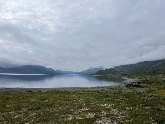
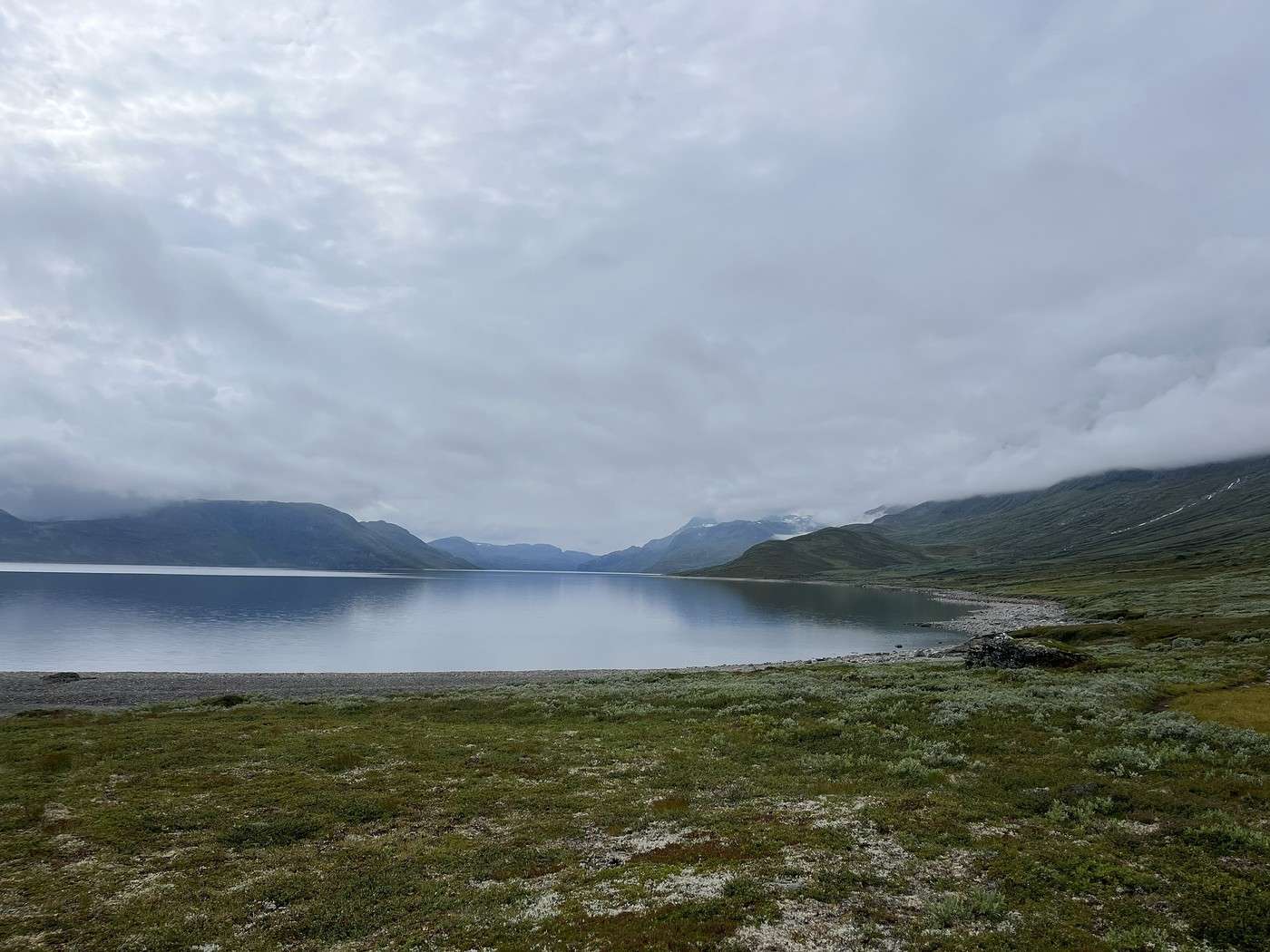
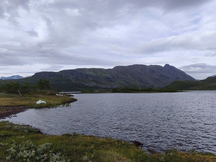
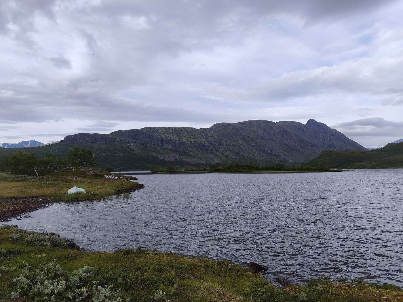
Well, the tone was set: it was gray, ugly, and cold, and Synshorn, a summit I’d spotted with an obviously stunning view, was shrouded in fog. Okay, forget about that...

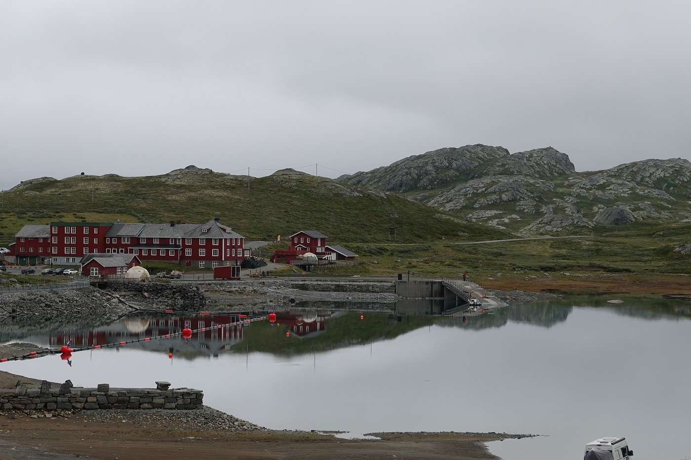
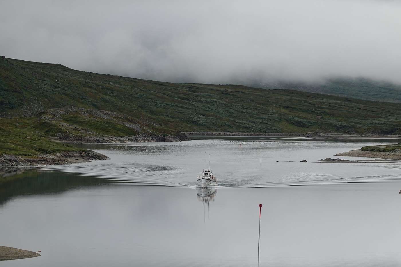
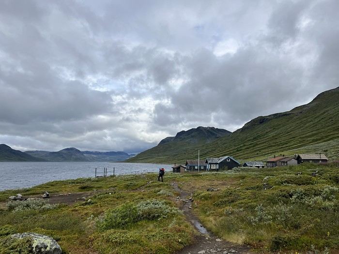
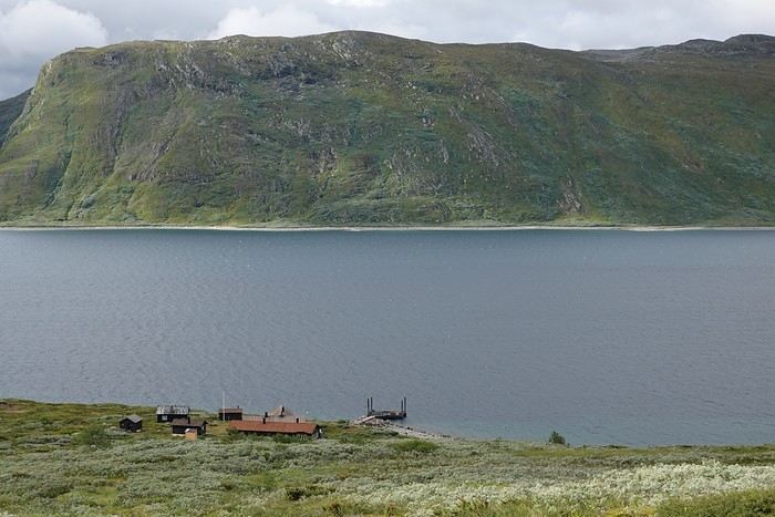
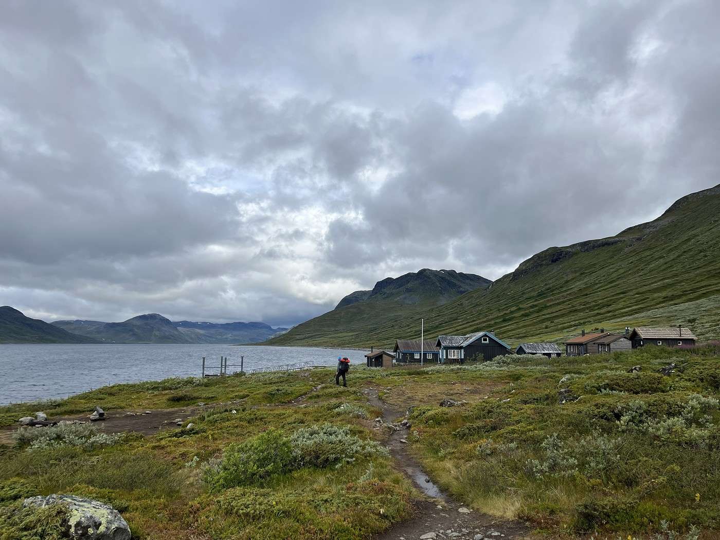
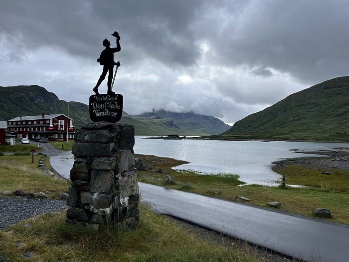
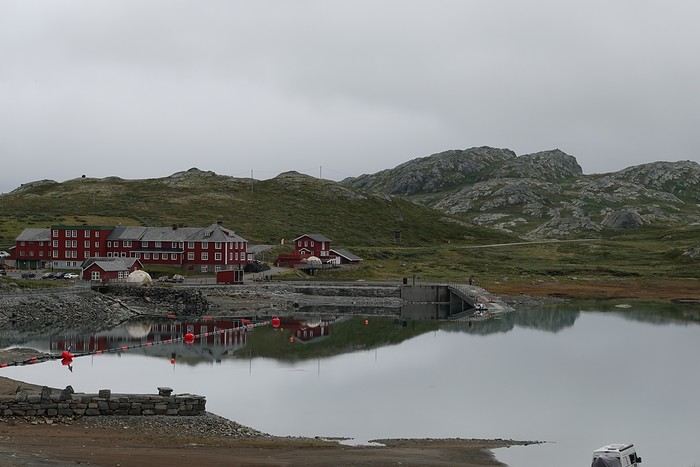
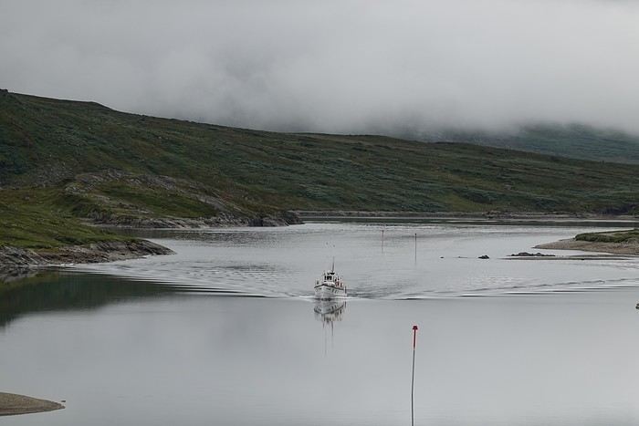
Bygdin is just a few buildings, a DNT hut, and a lake of the same name where a boat shuttles to the end of the lake, stopping at the Torfinsbu hut, our goal for the day.


(See, I wasn’t lying about the gray and ugly :-)

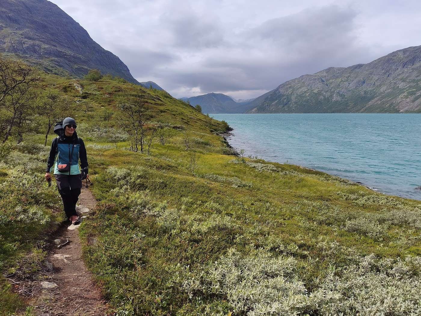
For us, it would be the path along the lake. It starts with a short stretch of road before turning into a dirt trail with quite a bit of mud. It’s been over two years since our last trek, so our shoulders will need to get used to the heavy backpack again.


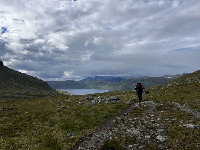
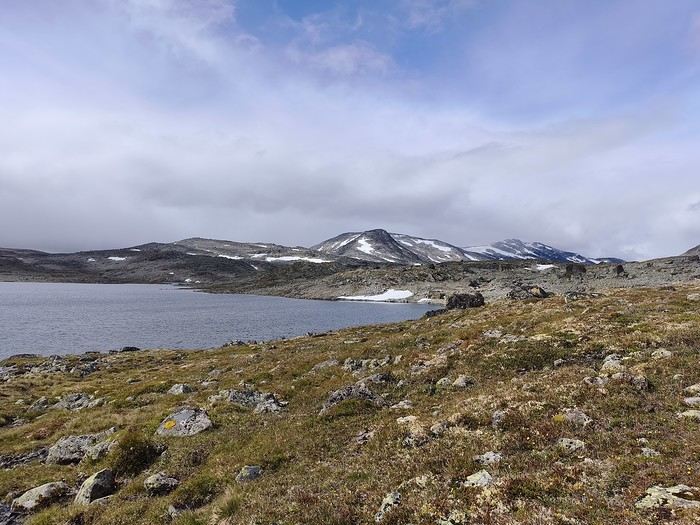
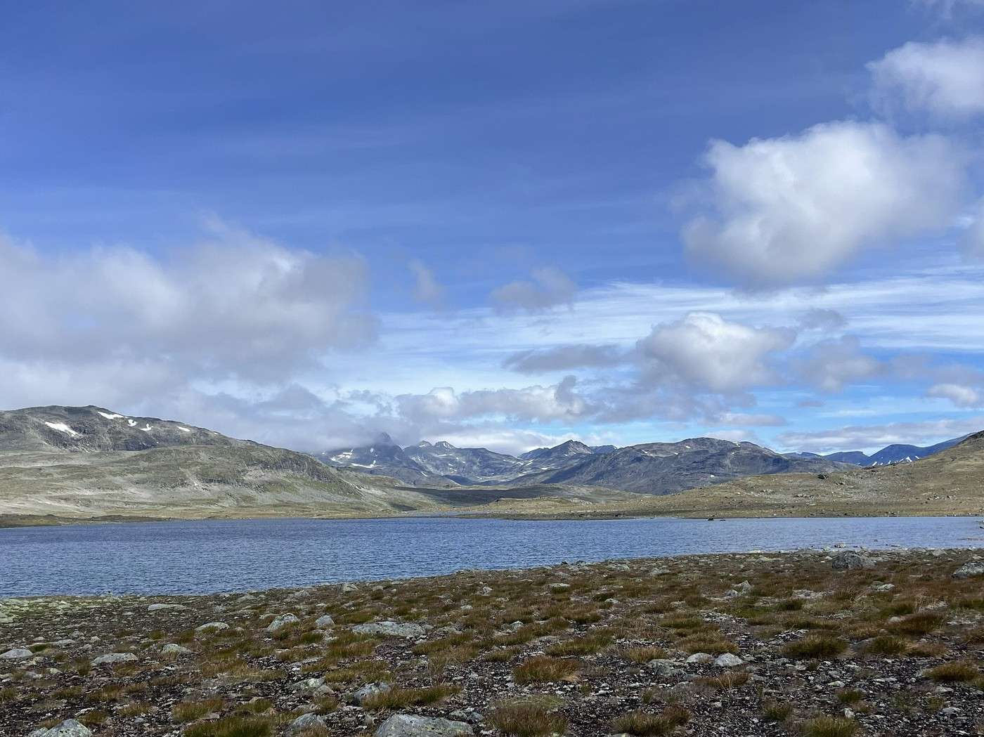
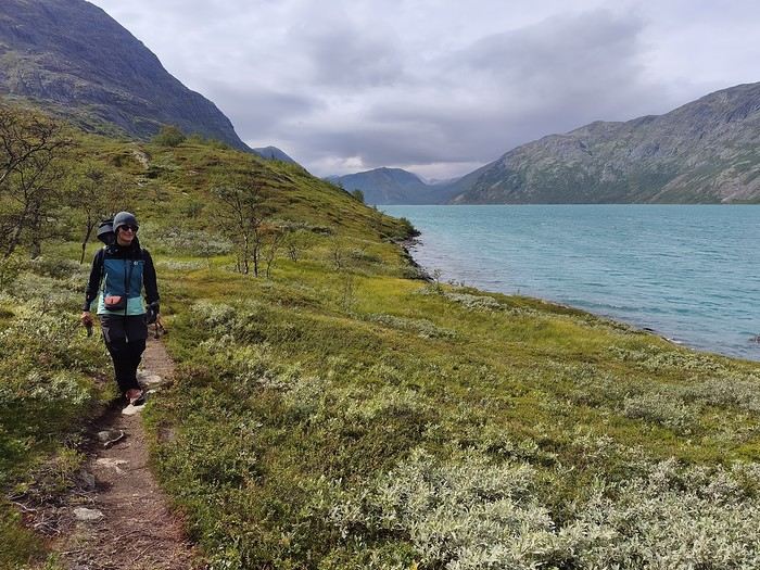
We hike at a good pace, the views are pretty nice, and there’s the joy of being there. But after about 10 km, the landscape starts to feel a bit monotonous—it doesn’t help that we only catch glimpses of snow patches and mountains, with the clouds hanging too low.


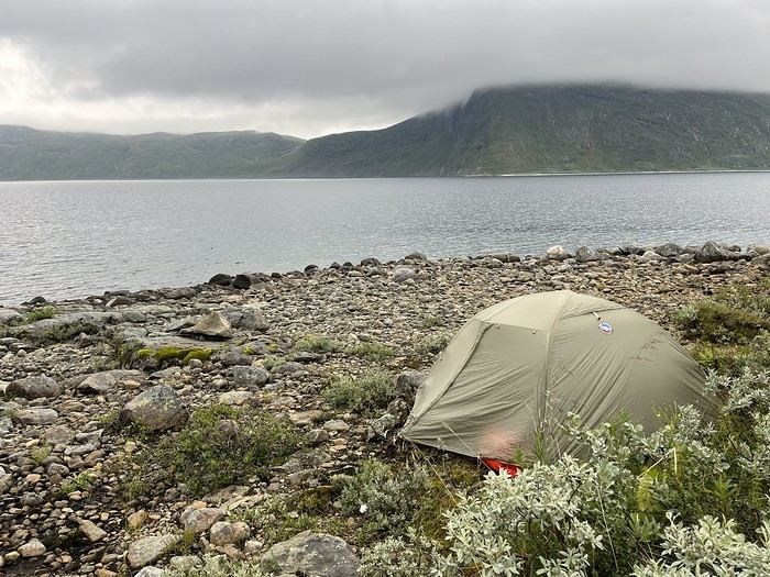
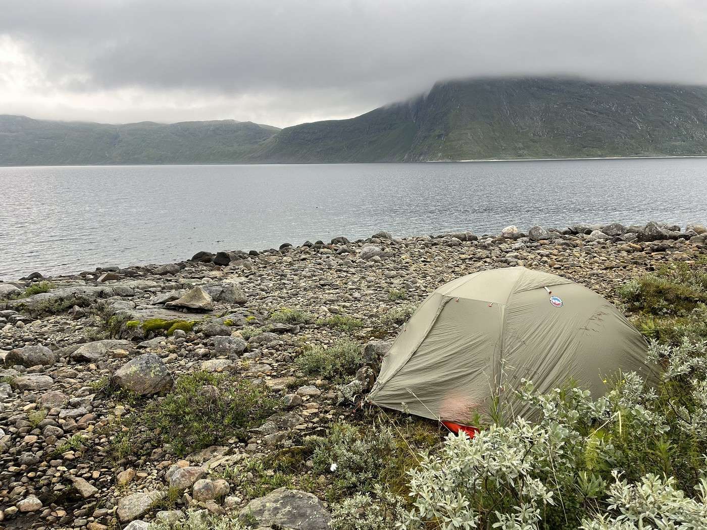
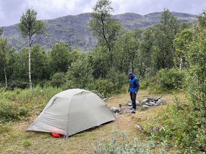
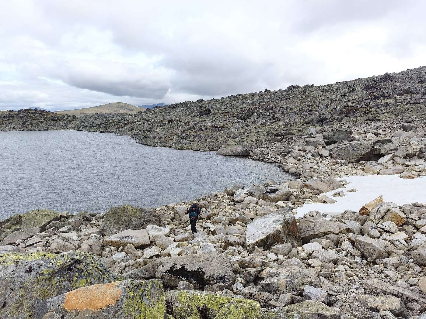
One kilometer before Torfinsbu, we pitch our tent by the lake (not easy to find a spot with all the rocks), and just as we finish setting up, it starts raining—rain that only gets heavier.


So, we cook inside the tent, the first of many meals to come! Luckily, we have a three-person tent, so there’s a bit of space, which isn’t a luxury in these northern lands...

Summary: 13.3 km - 150 m elevation gain

Trek in Norway: Jotunheimen and Dovrefjell, you’ll adapt to the rain...

Orionide · 2026-10-14 · Message 4 of 26

Hi Laure,

Great to see another update from you about a hike in these Nordic regions!

Trek in Norway: Jotunheimen and Dovrefjell, you’ll have to adapt to the rain...

Calisson94 · 2026-10-14 · Message 5 of 26

Hi Jean-Philippe,

So glad you’re here—I hope you’ve got good Gore-Tex! !

Hiking in Norway: Jotunheimen and Dovrefjell, you’ll adapt to the rain...

Calisson94 · 2026-10-14 · Message 6 of 26

Aug 6 – Torfinsbu – Gjendebu

It rained for a good part of the night. Since we turned in at 9:15 PM, we were up by 6:30 AM and on our way by 8:00 AM.

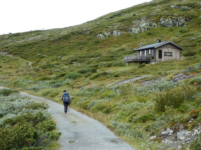
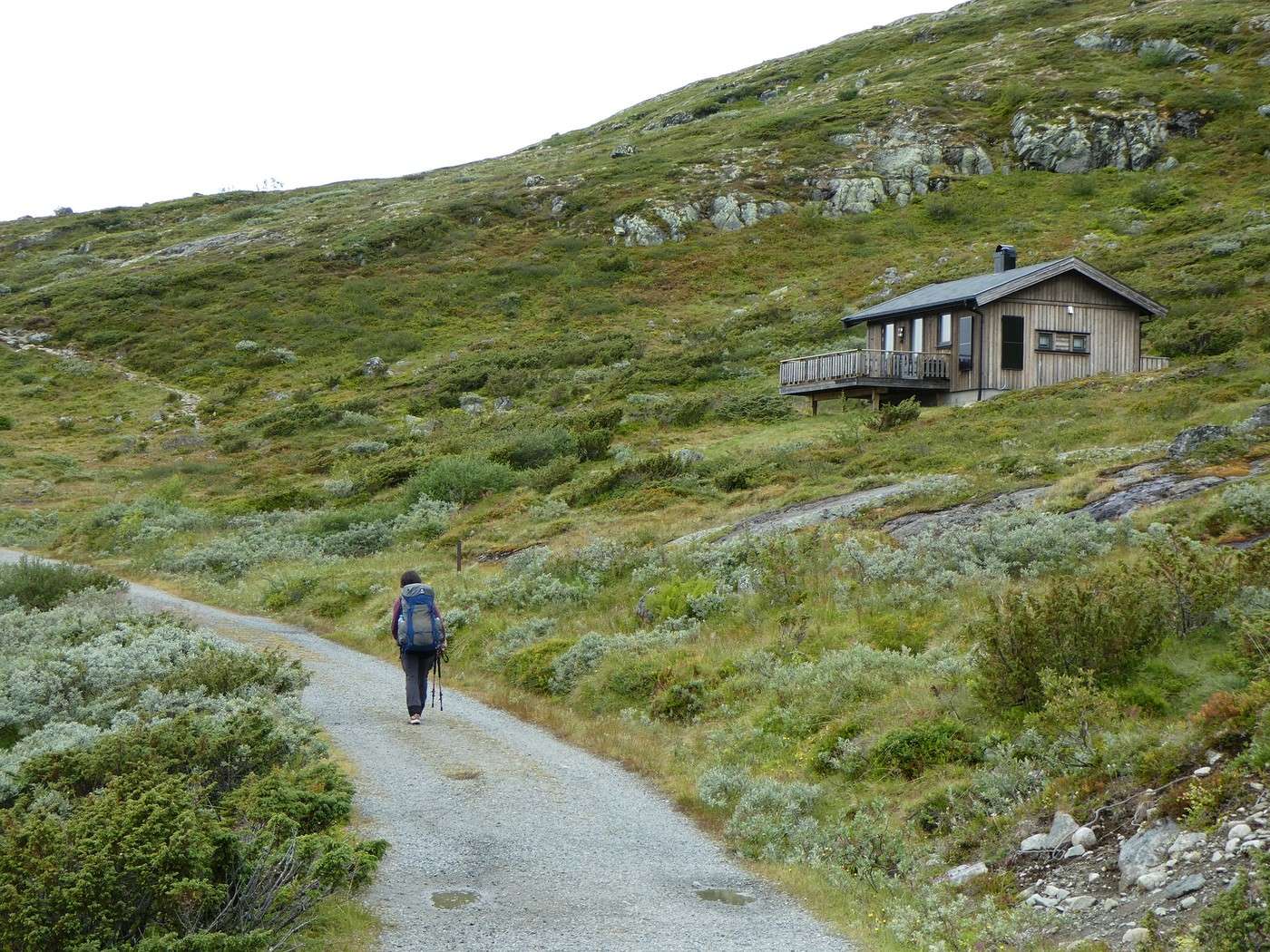
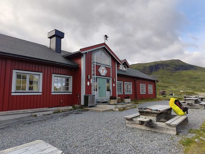
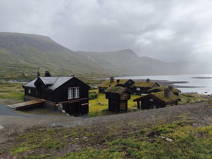
We quickly reached the Torfinsbu hut (nice spot). For those who want to camp nearby, there are some great bivouac spots.


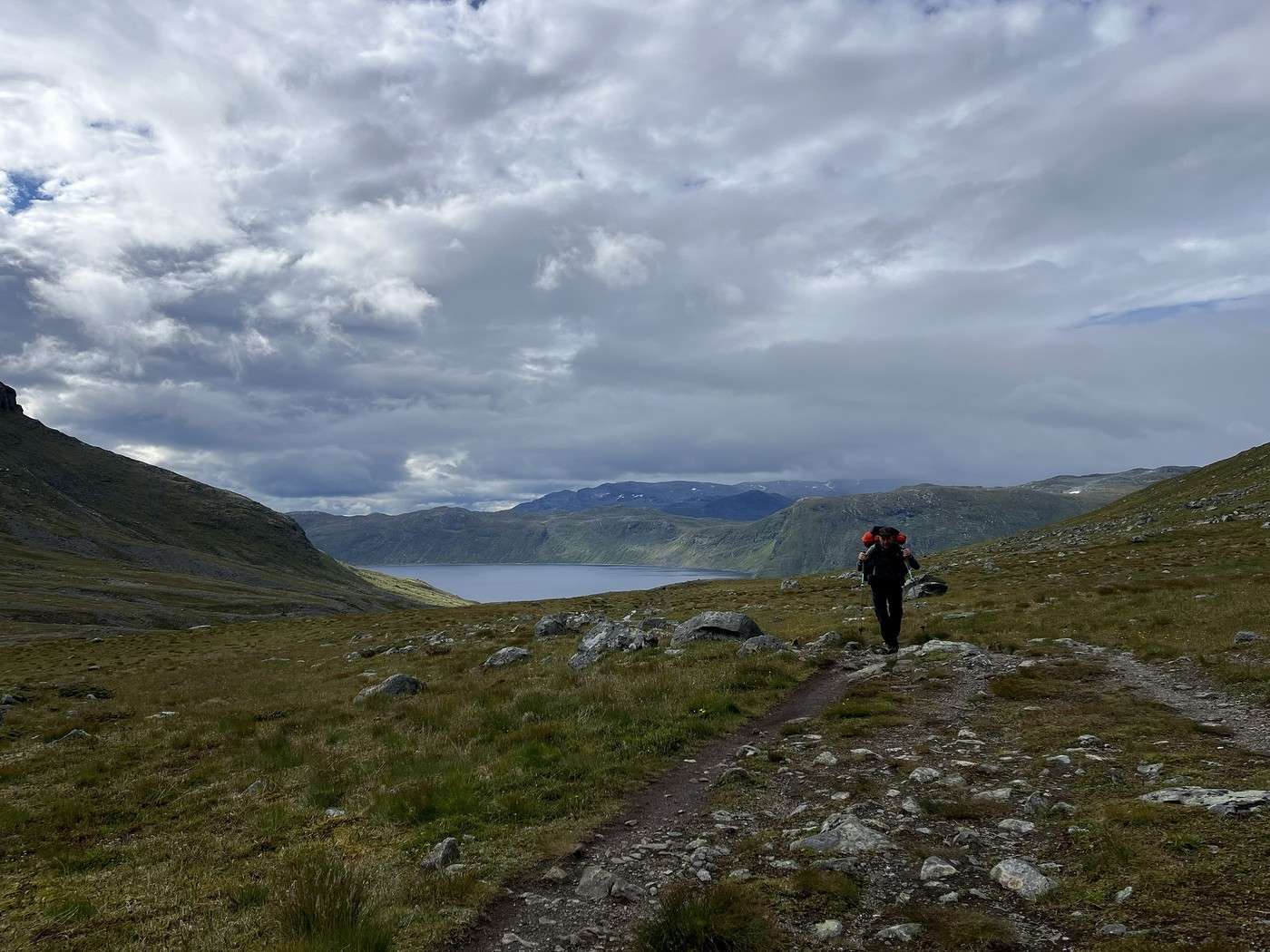
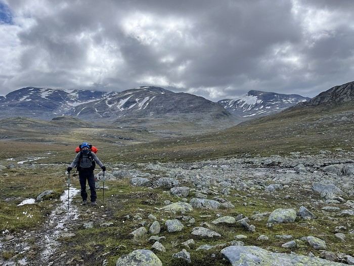
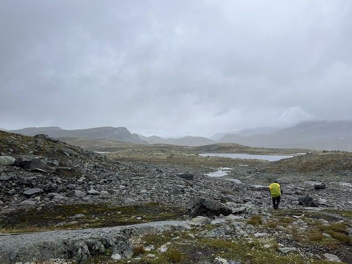
No more flat terrain—time to climb. Ugh, it’s tough with fully loaded backpacks. Plus, there’s so much mud after all that rain last night.

The hut fades into the distance, and after a steep climb, we’re on the plateau.


The weather isn’t very inviting—I doubt we’ll see many summits today.


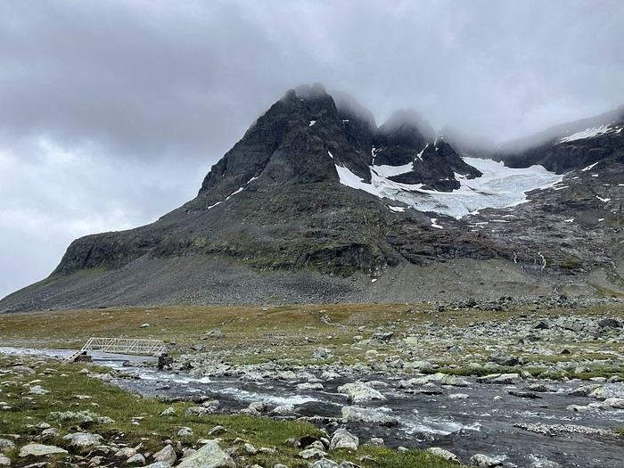
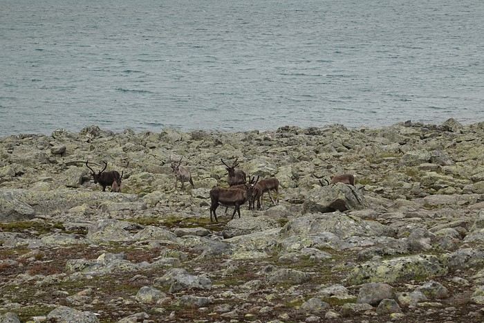
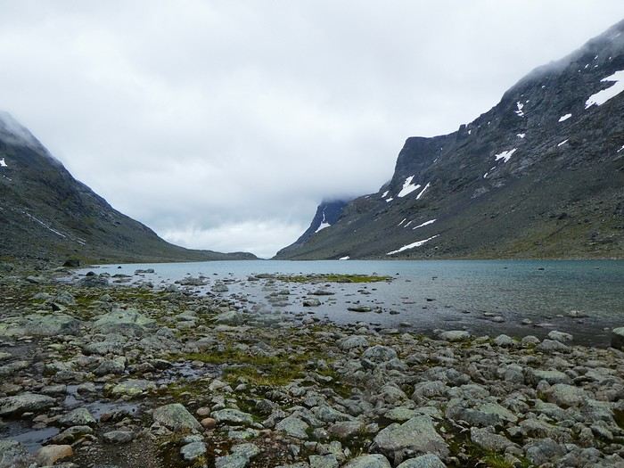
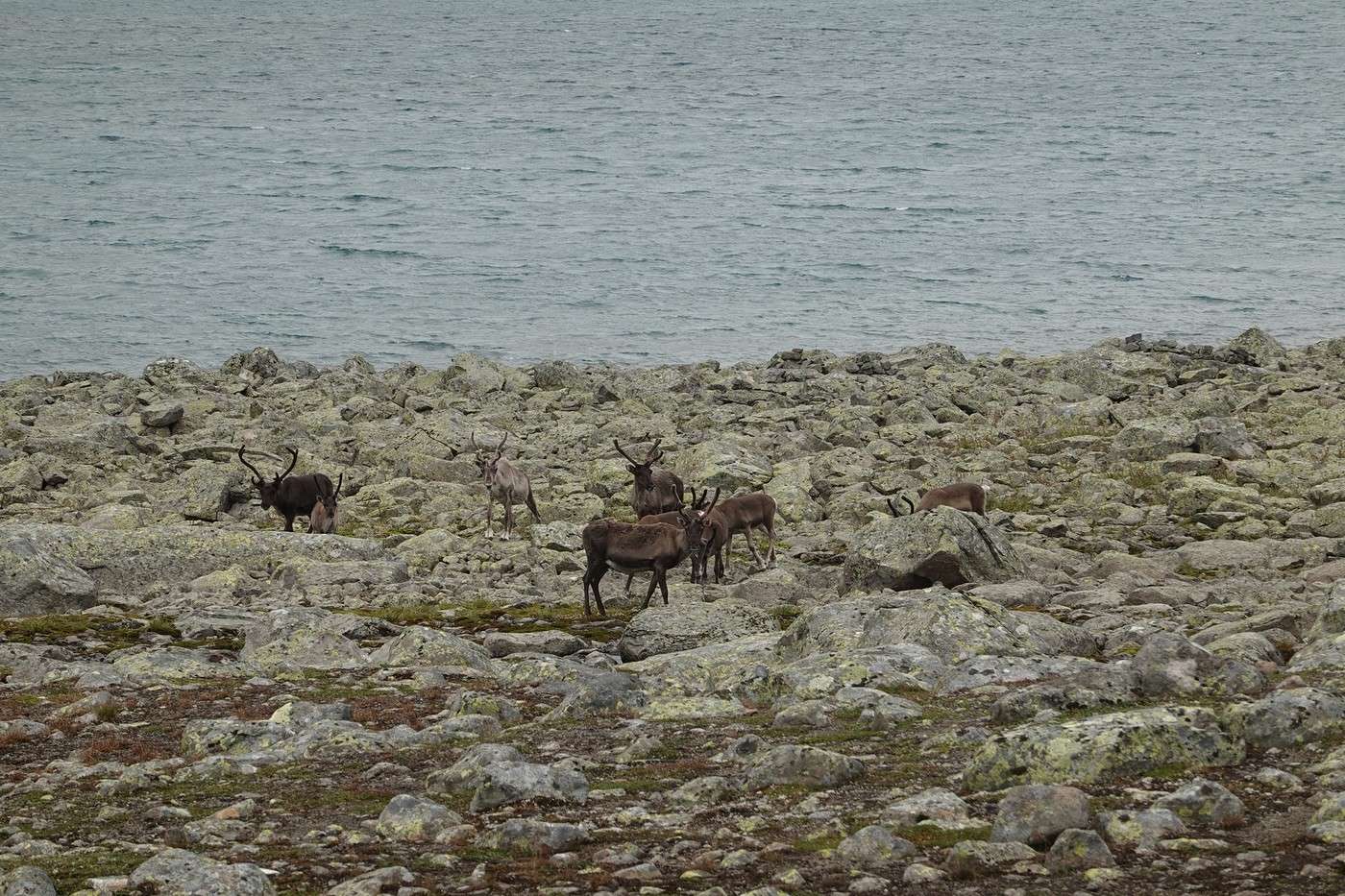
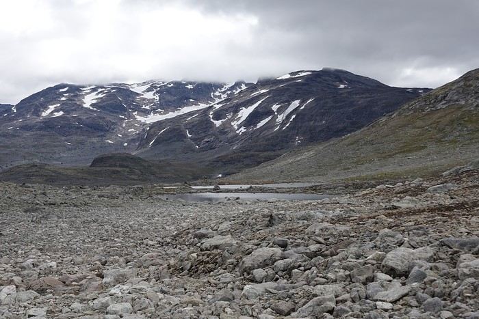
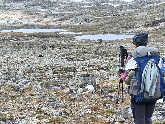
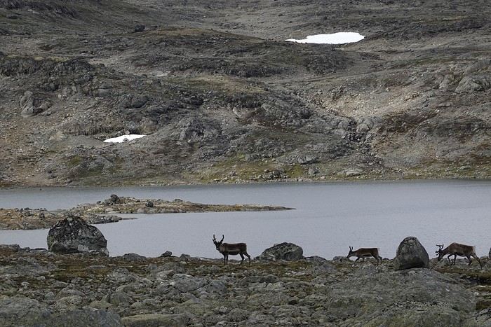
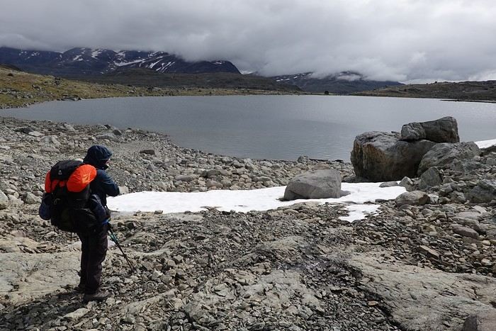
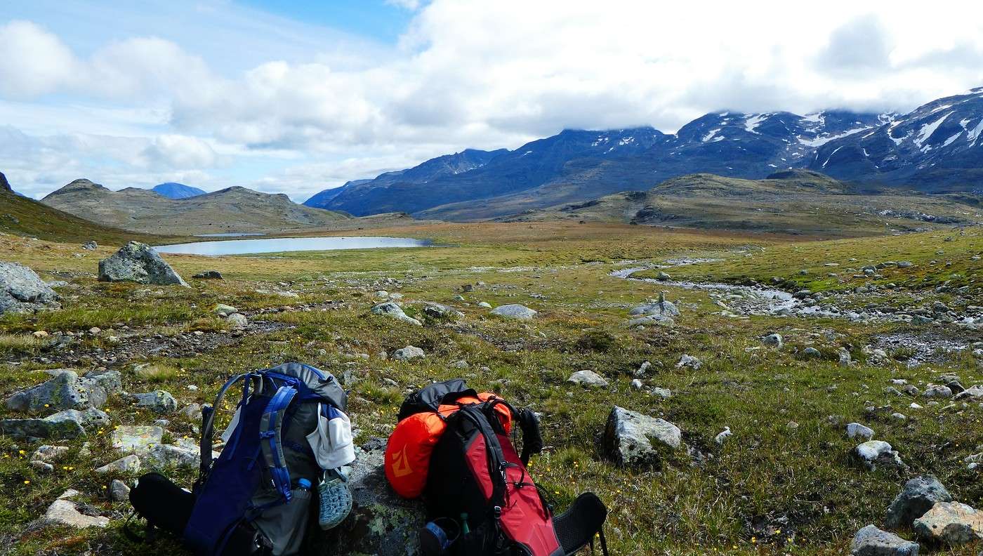
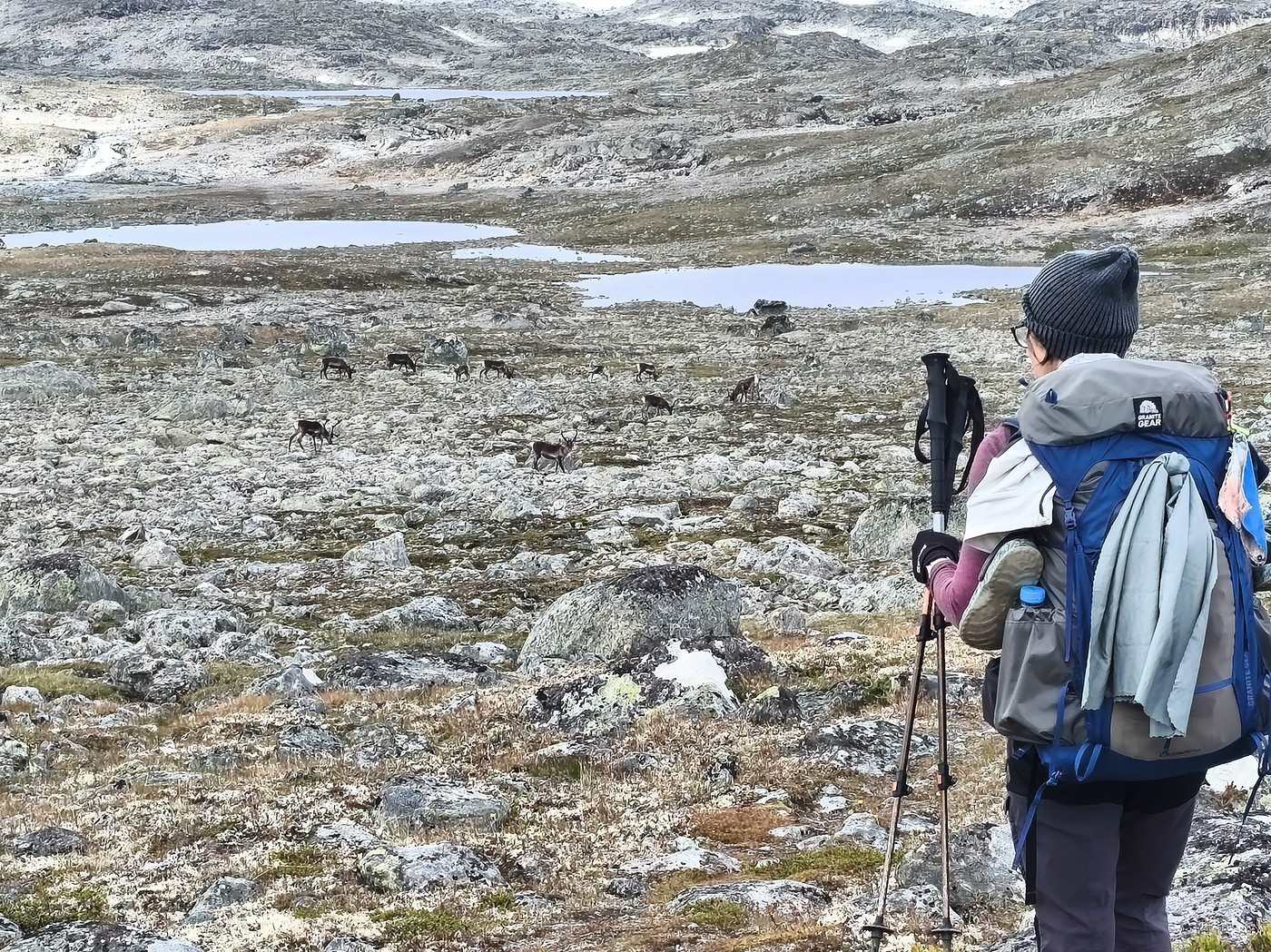
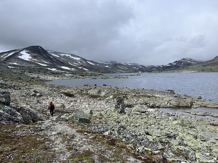
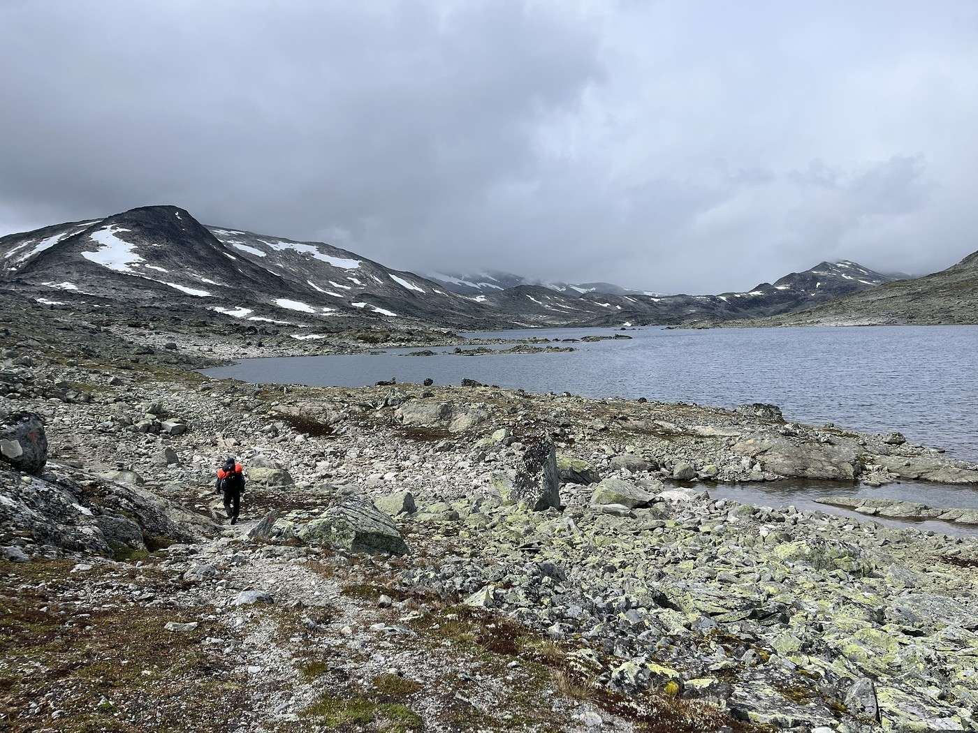
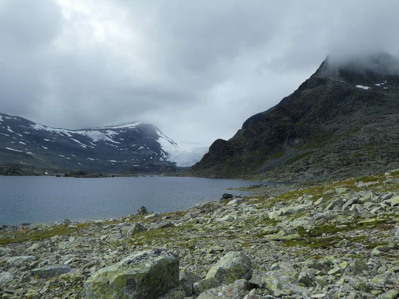
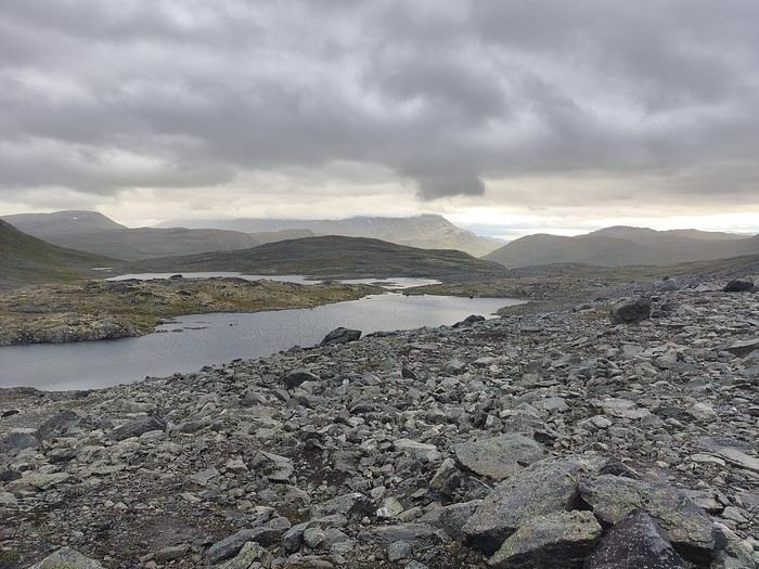
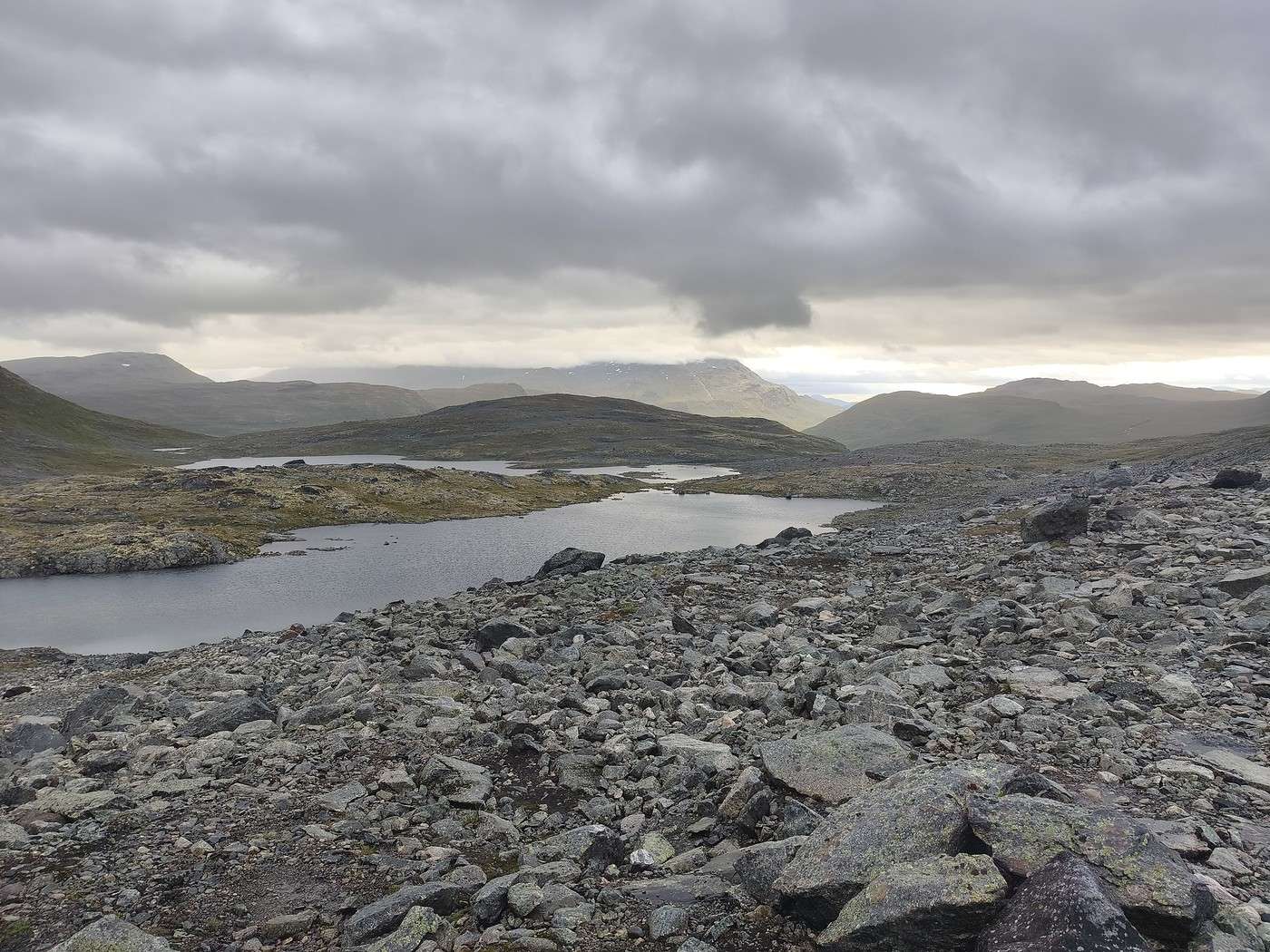
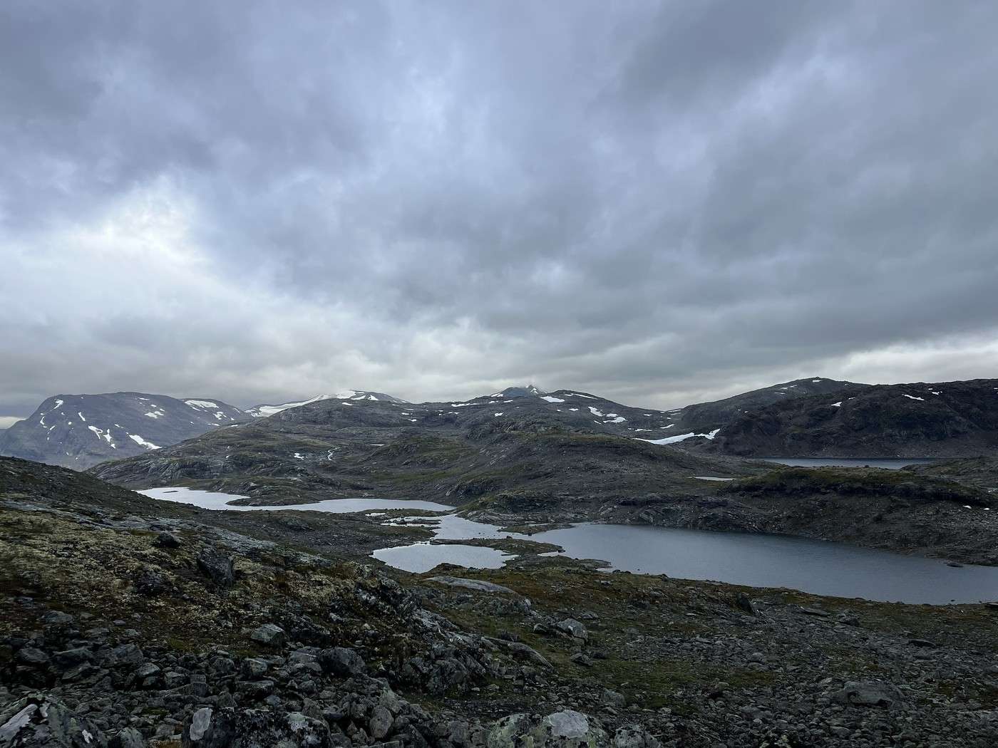
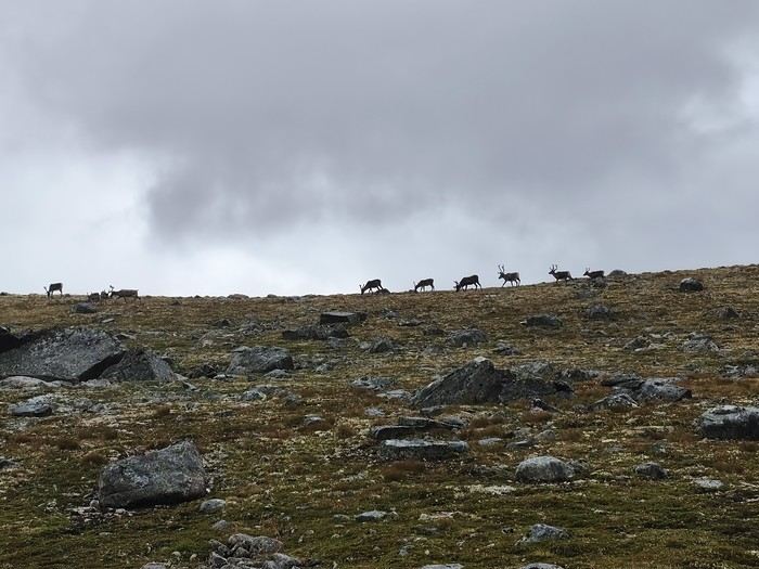
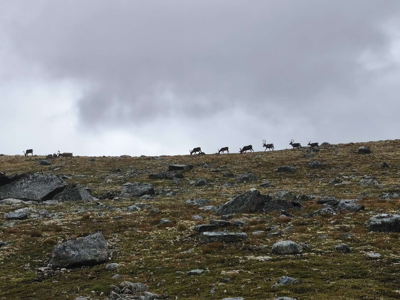
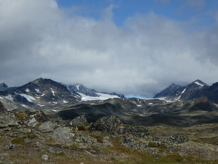
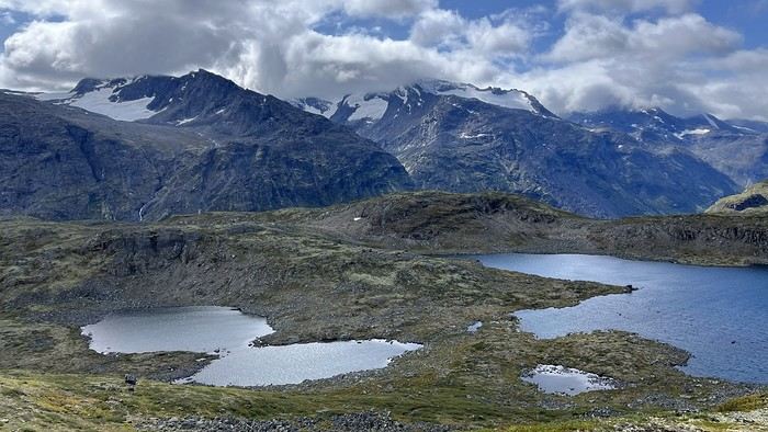
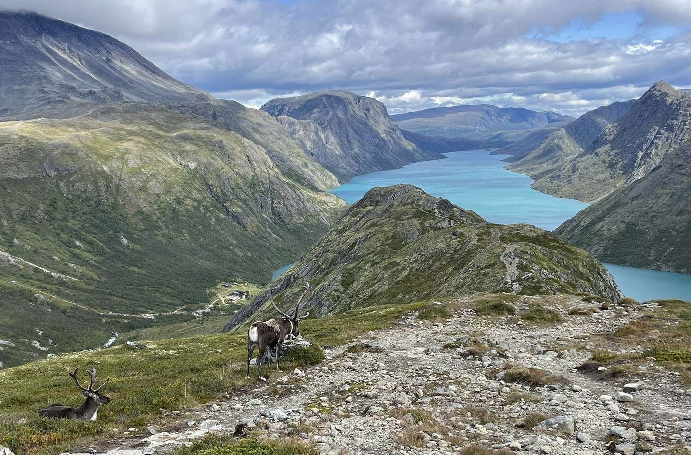
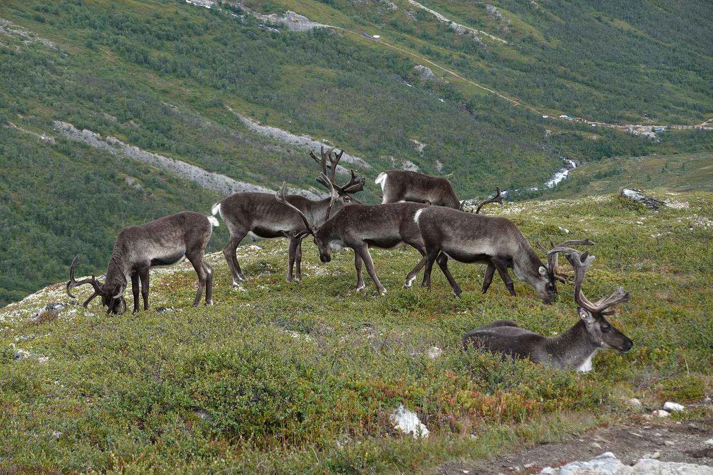
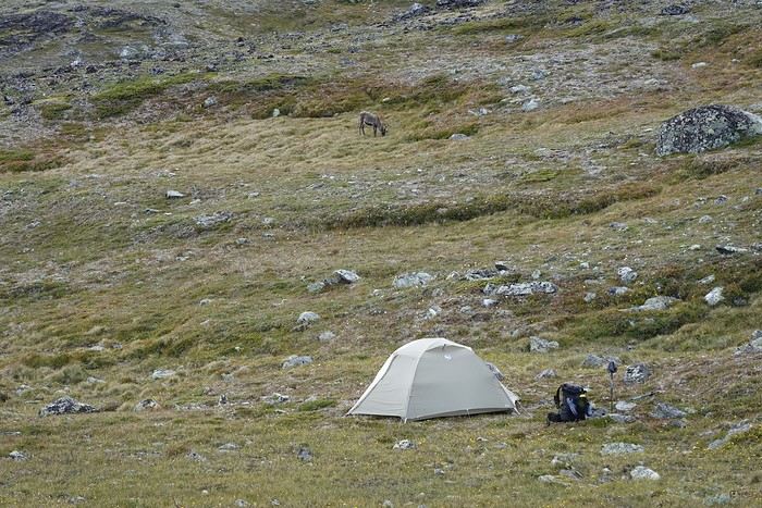
Jean-Marie, always on the lookout, spots a large herd of reindeer. So exciting! We then reach a lake we’ll have to skirt along a very rocky path. Above the lake to our left, we can just make out some glaciers—what a shame we can’t see higher up.

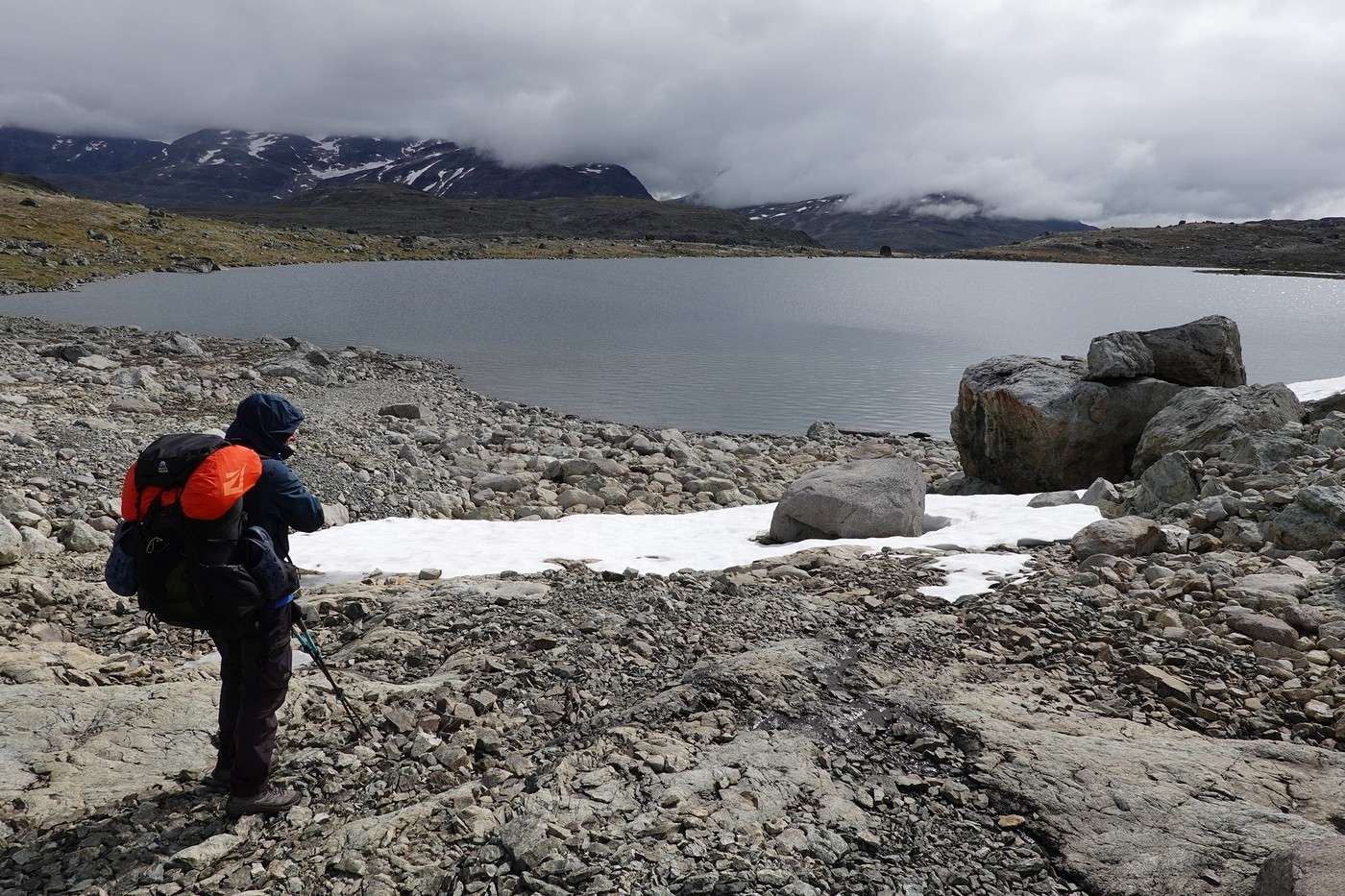
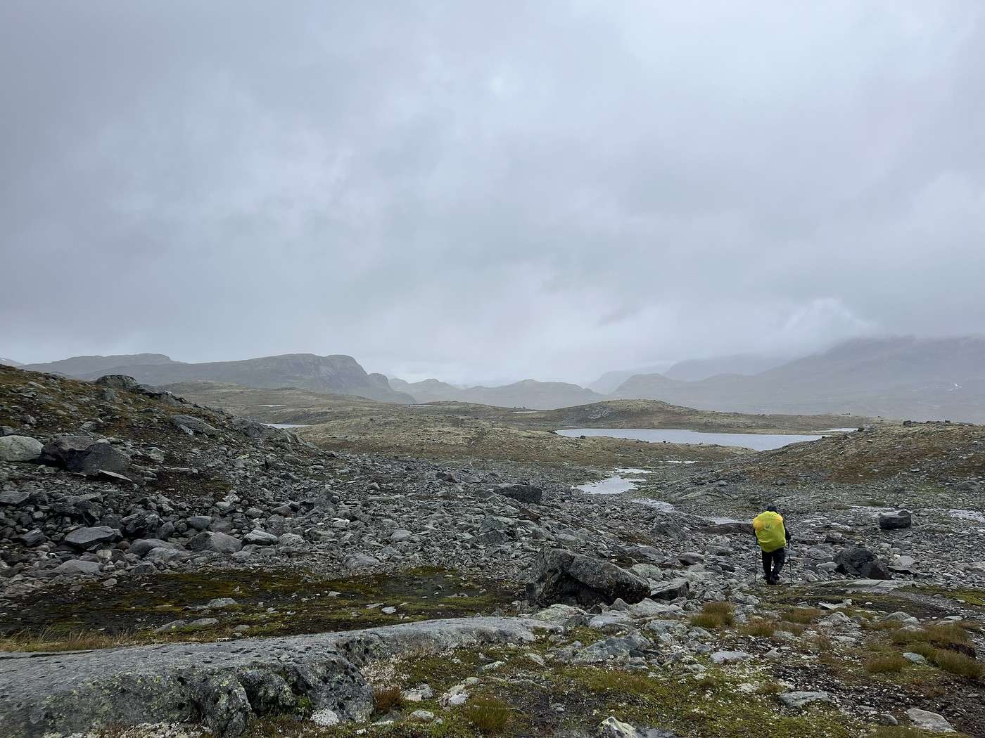
The weather keeps getting worse, and after 4 km, we put on our rain gear.

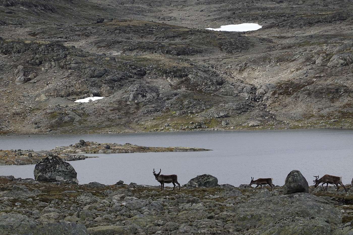
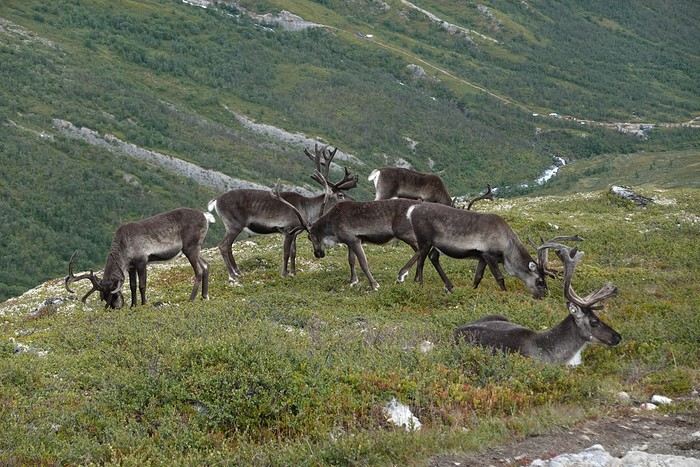
We were lucky to see another reindeer herd, this one up close. They were sandwiched between people coming from the opposite direction and us, and kindly chose to go our way.


Around noon, we took a (very) quick lunch break behind a rock to shelter from the wind.

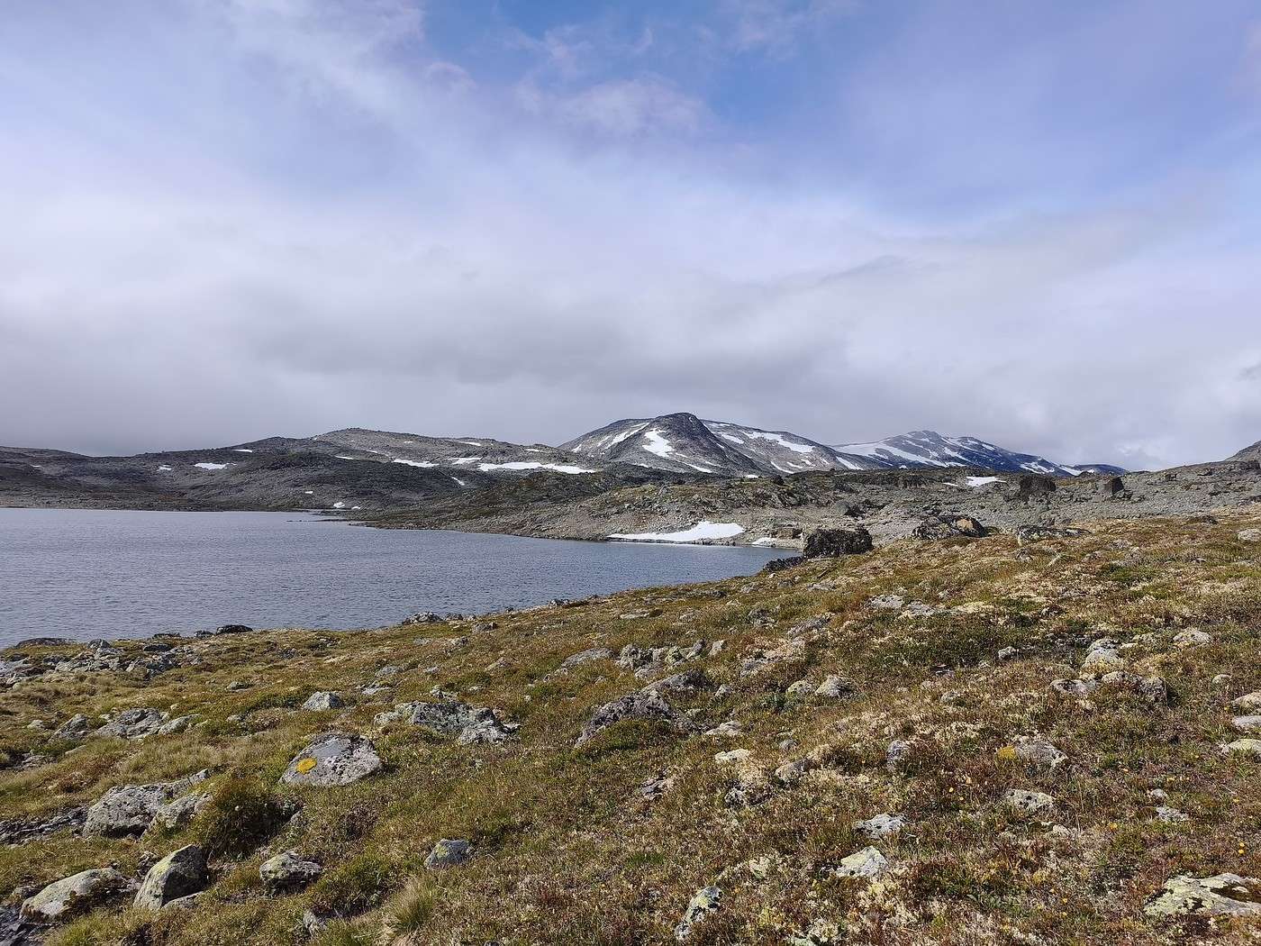
The area is really beautiful—with better weather, it must be amazing.


But progress isn’t easy.


It wasn’t until after 11 km that I checked the GPS and realized we’d royally taken the wrong direction! I thought the lake seemed way too long compared to the one I’d noted during prep. The explanation? At Torfinsbu, I don’t know why, but I mixed up Fondsbu (our destination for the day) with Gjendebu (our destination in 2 days). And Jean-Marie didn’t notice either... Oops!!!

No desire to turn back—we’ll have to keep going and adjust the plan. The silver lining? The stage will be shorter, which isn’t a bad thing since we were starting to feel wiped out.

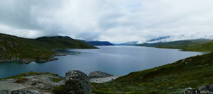
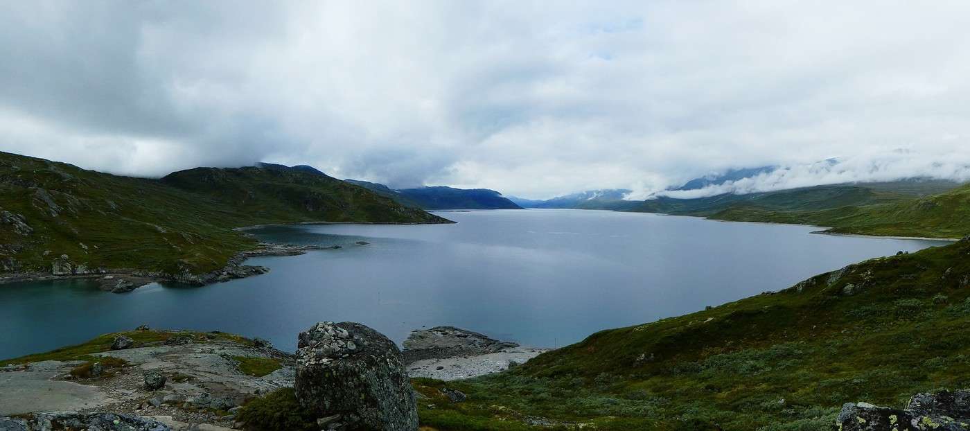
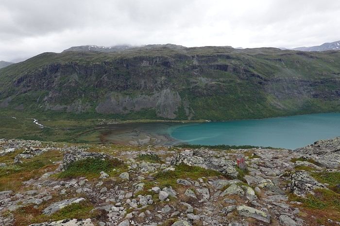
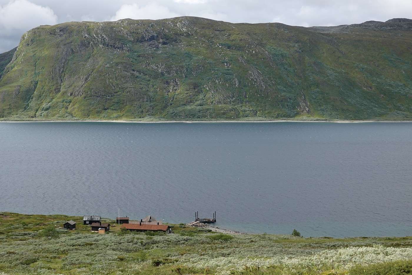
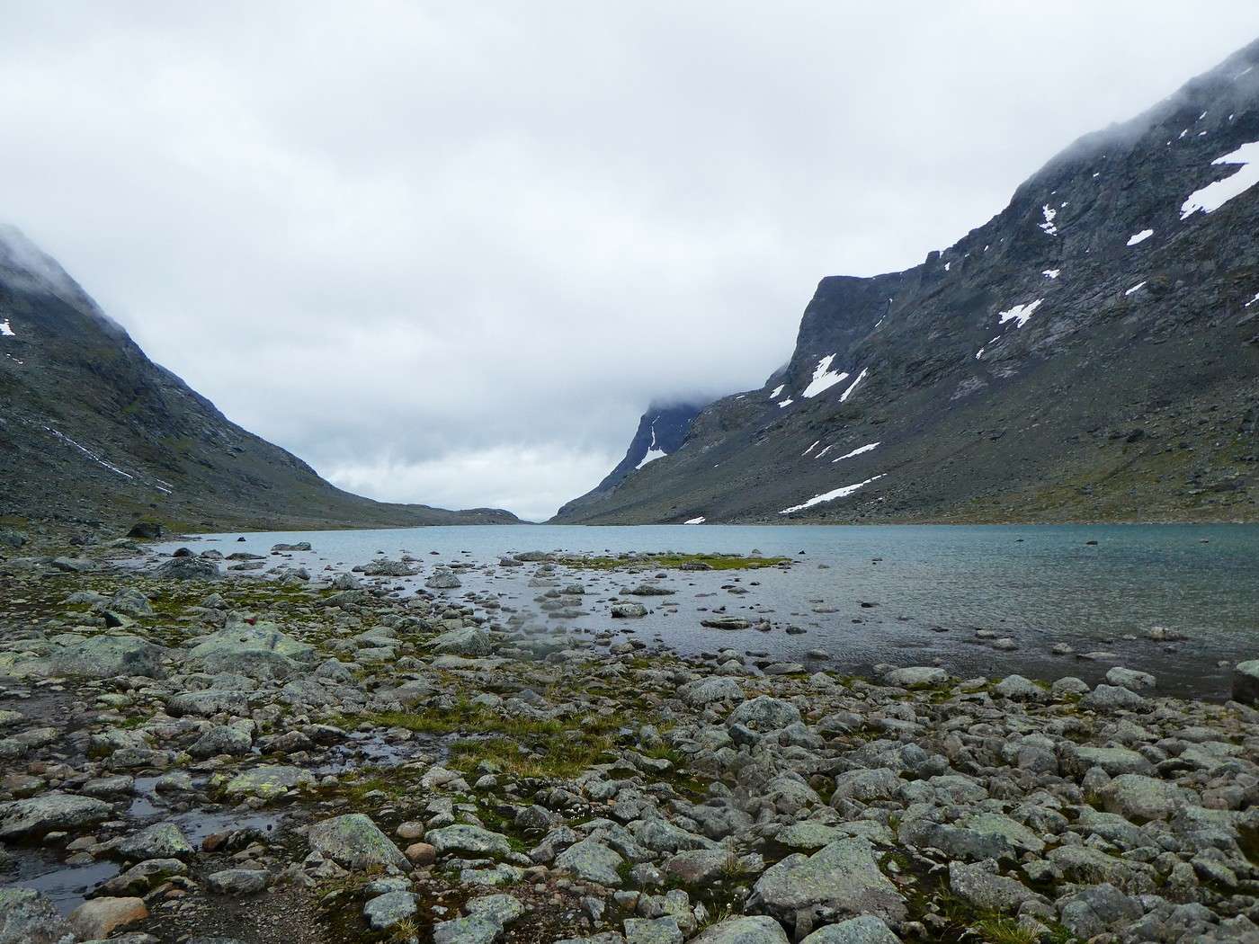
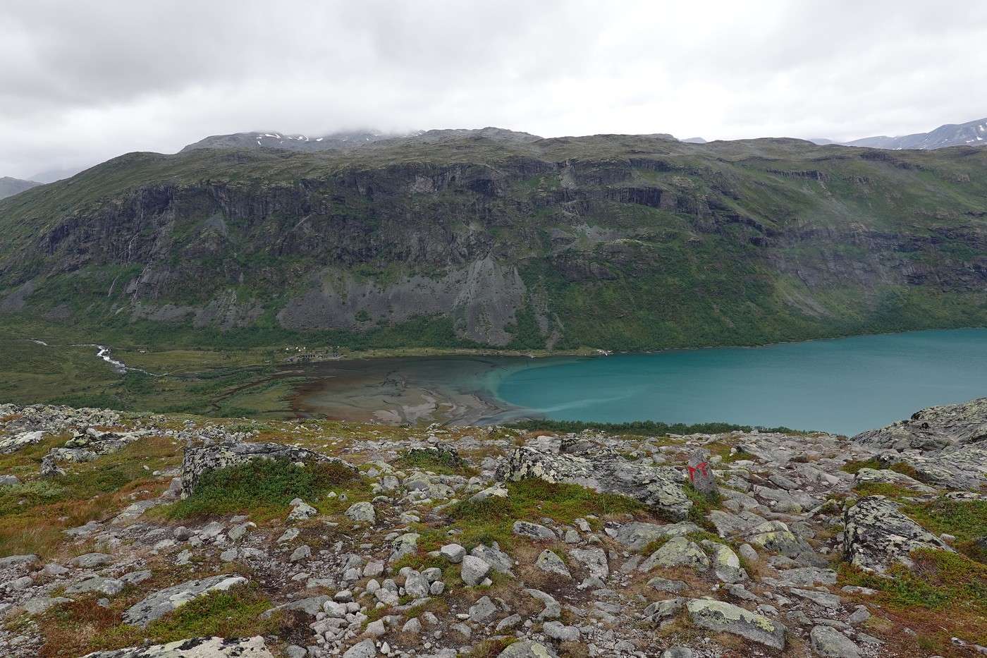
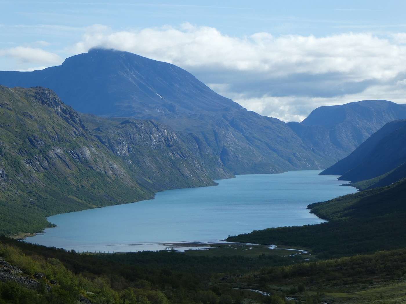
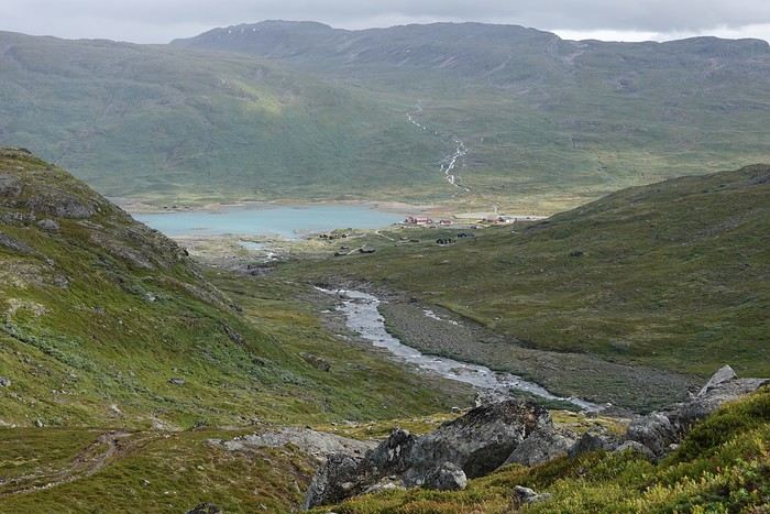
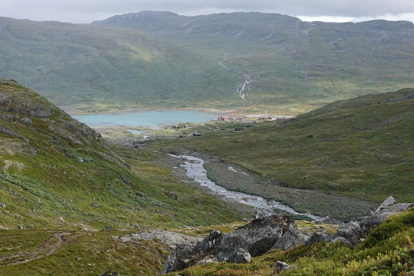
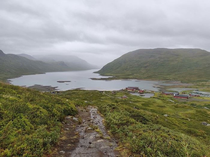
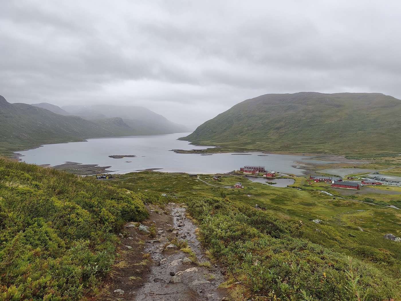
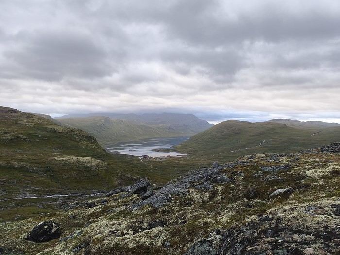
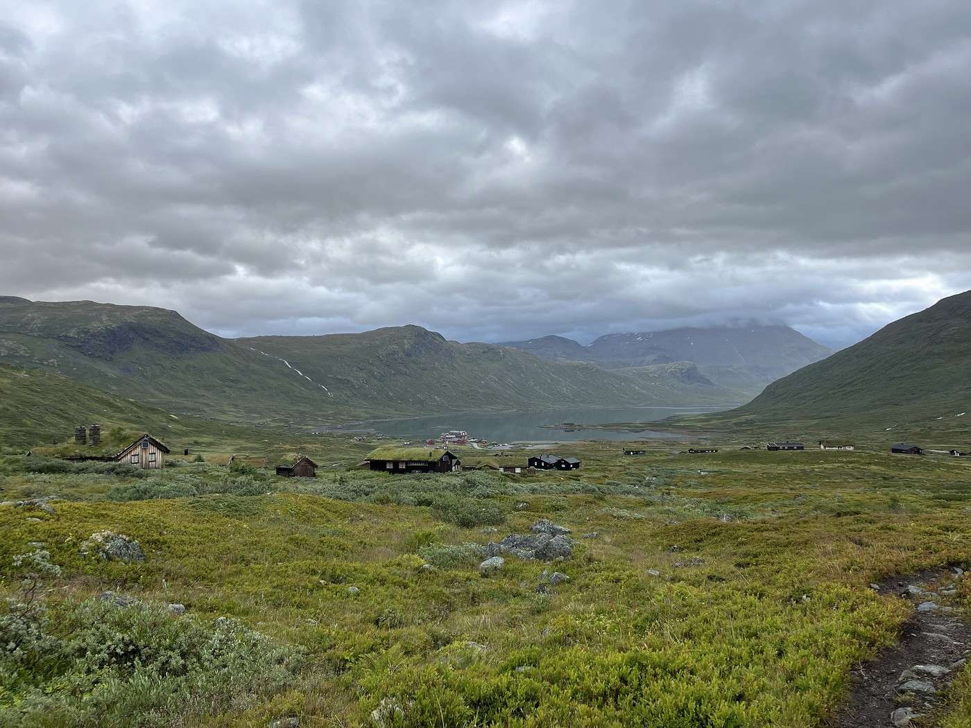
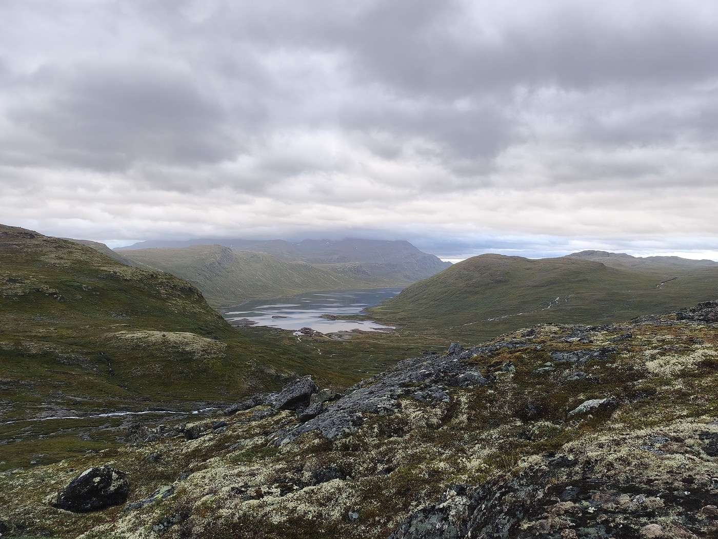
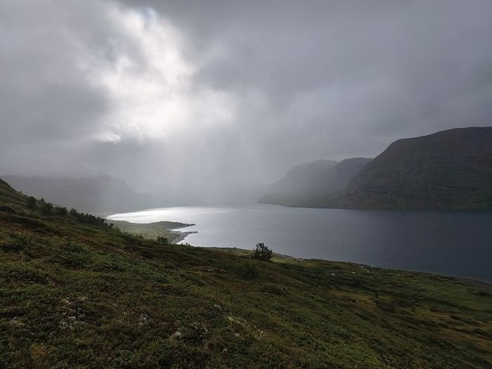
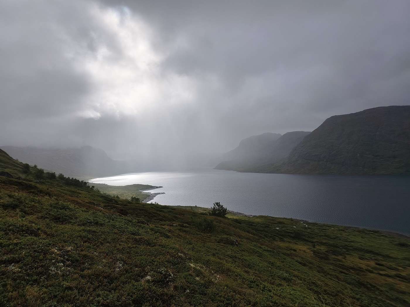
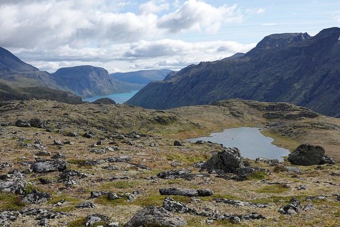
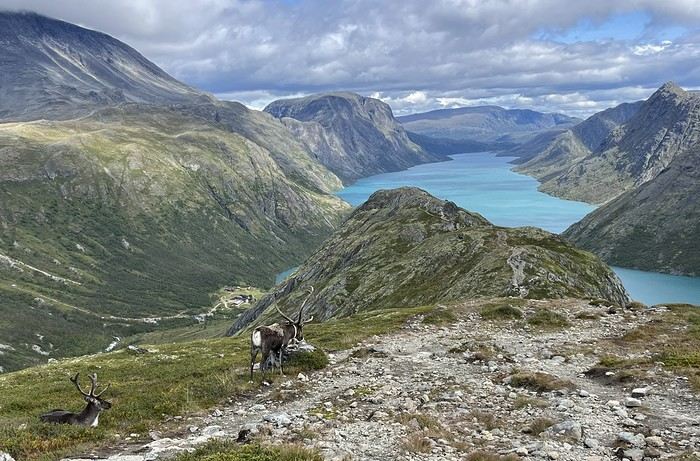
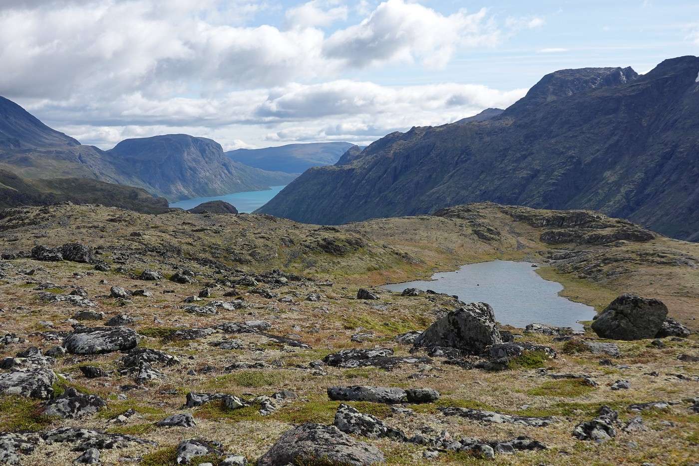
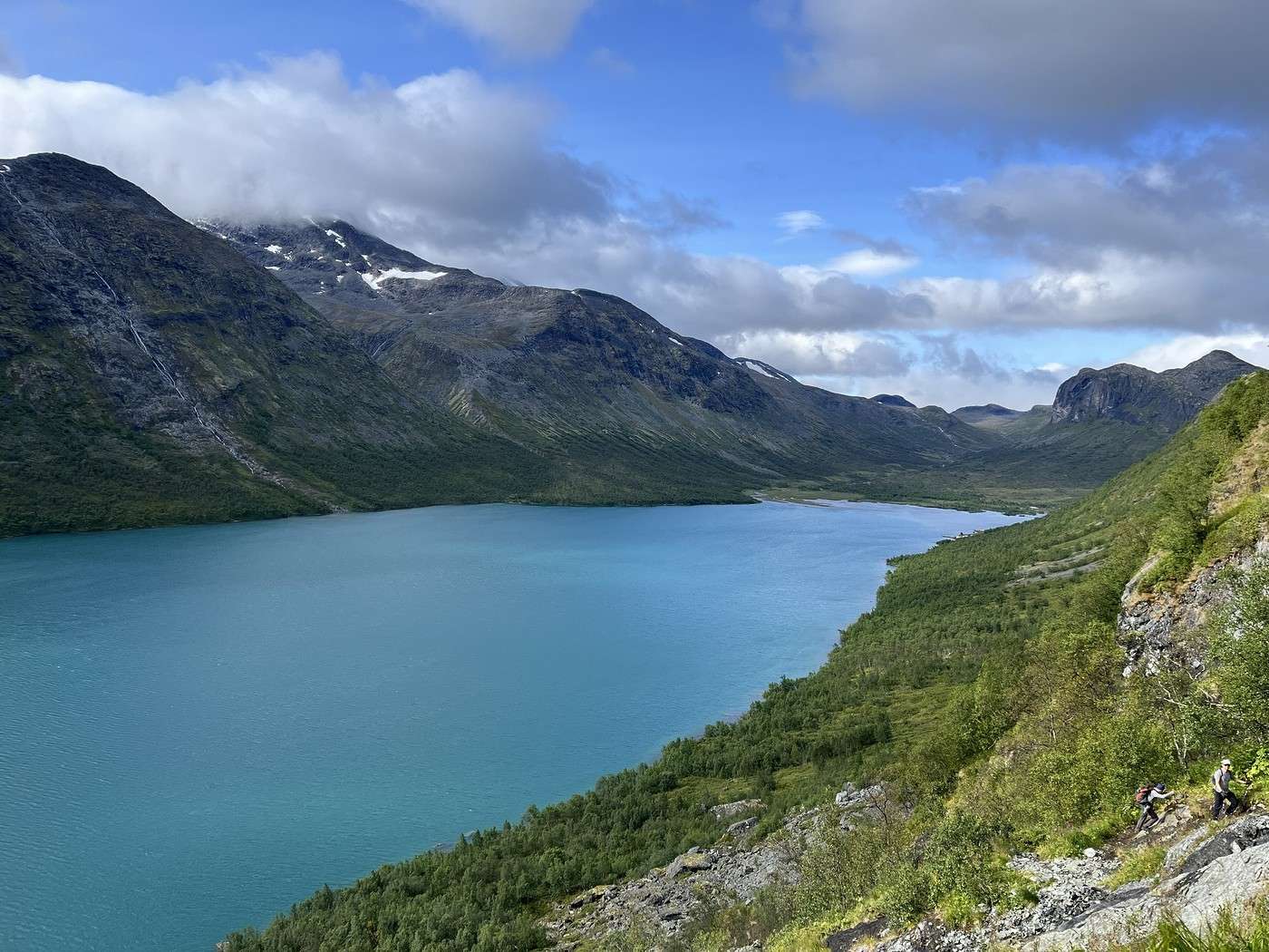
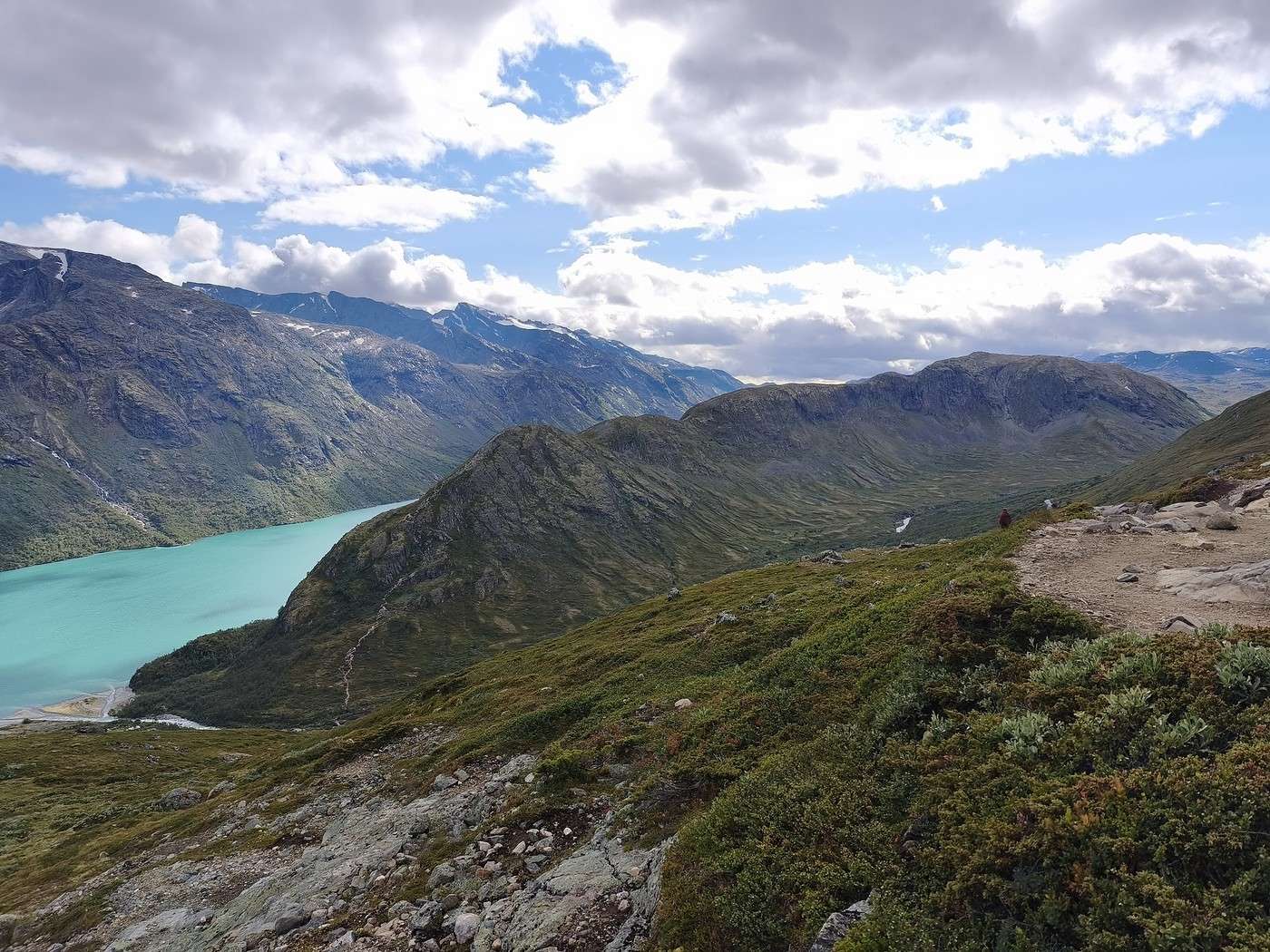
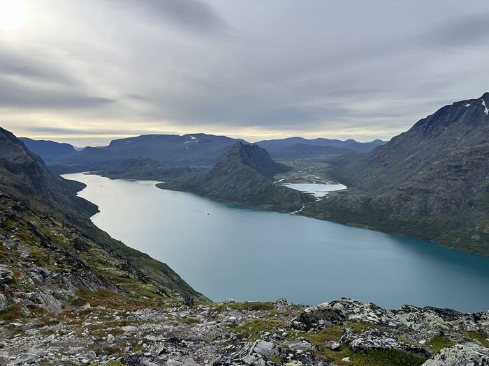
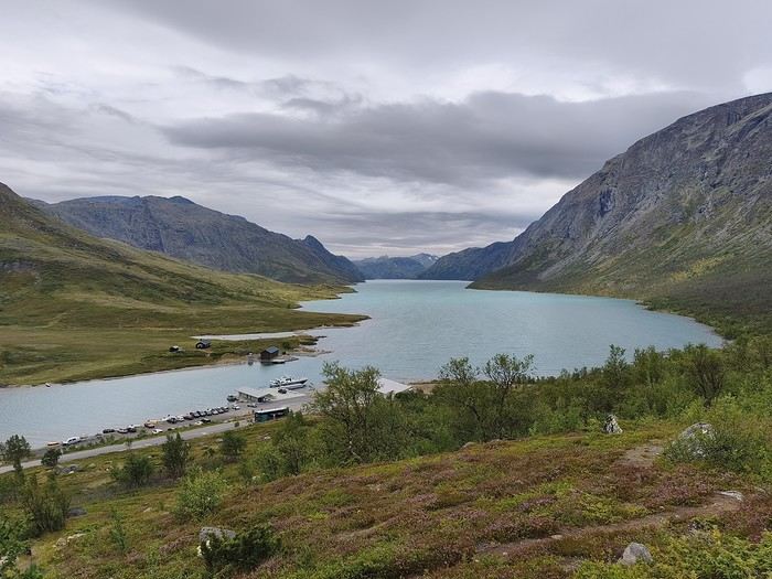
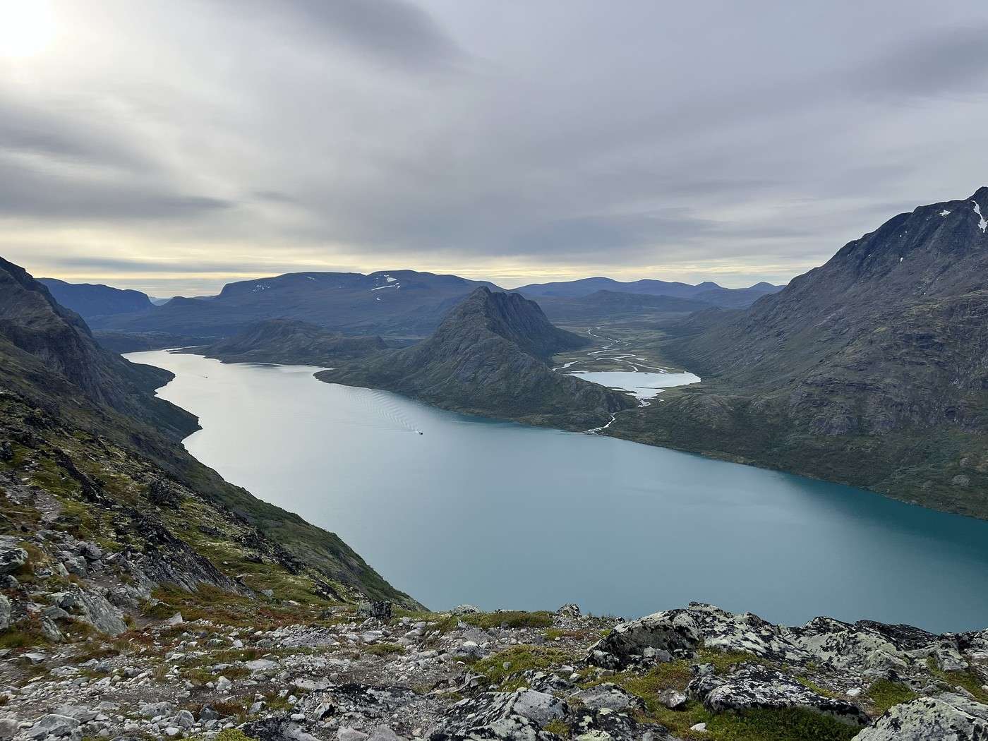
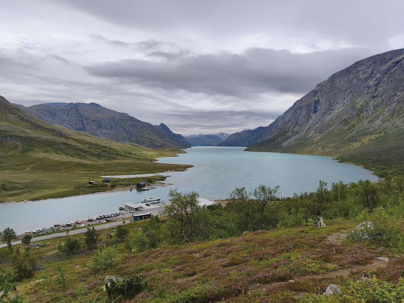
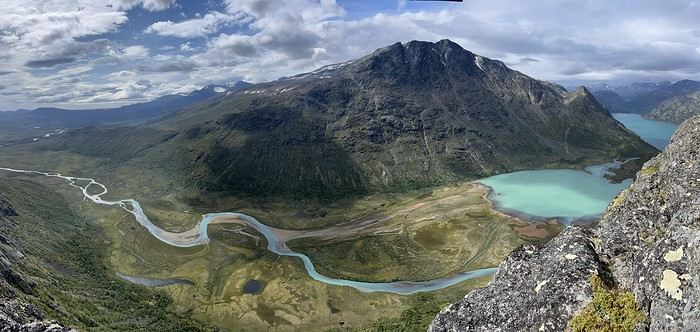
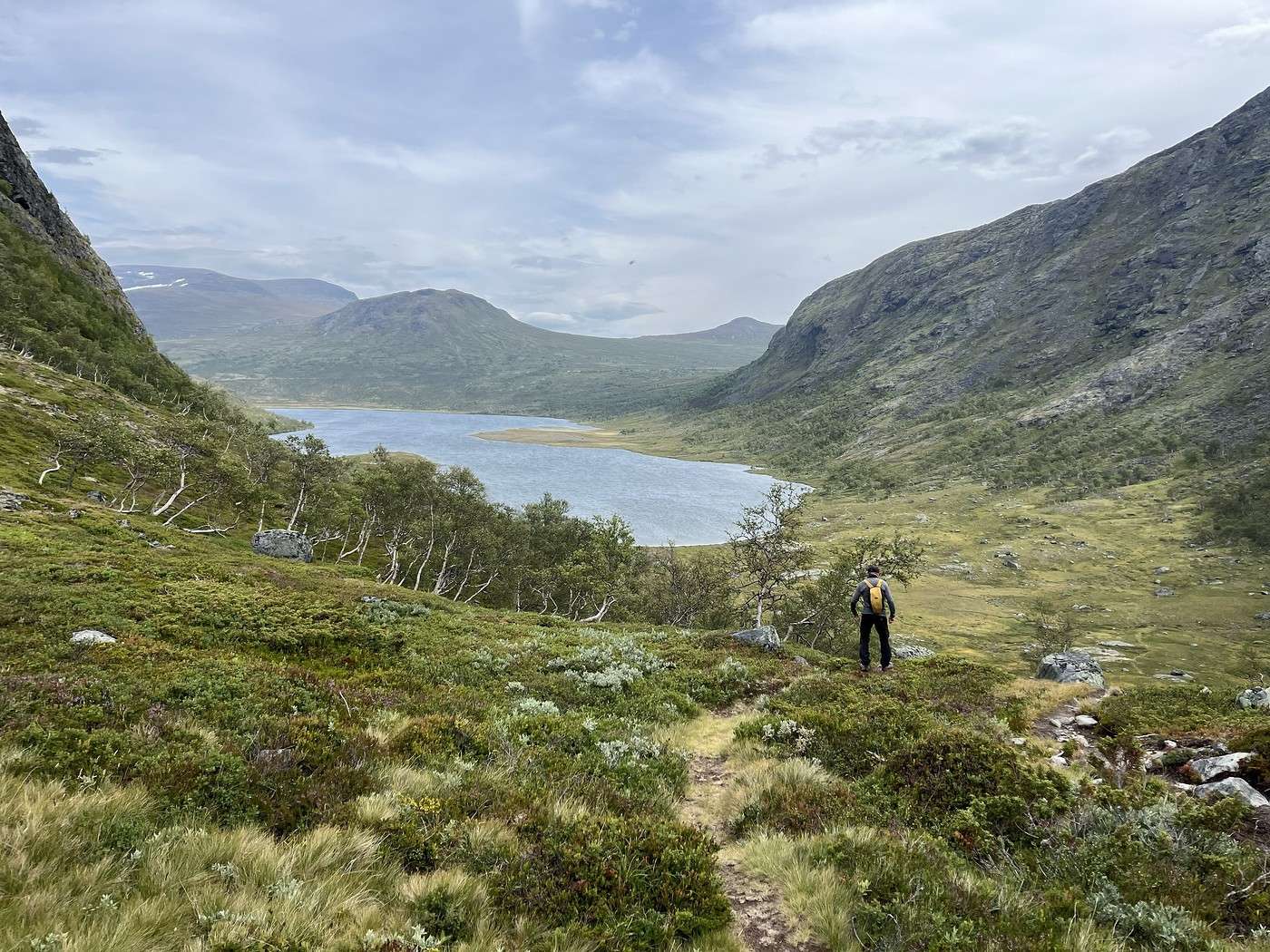
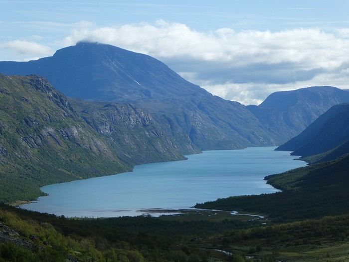
The descent toward Gjendebu offers a stunning view of Lake Gjende. Too bad the photo looks dull, but in person, it was still breathtaking.


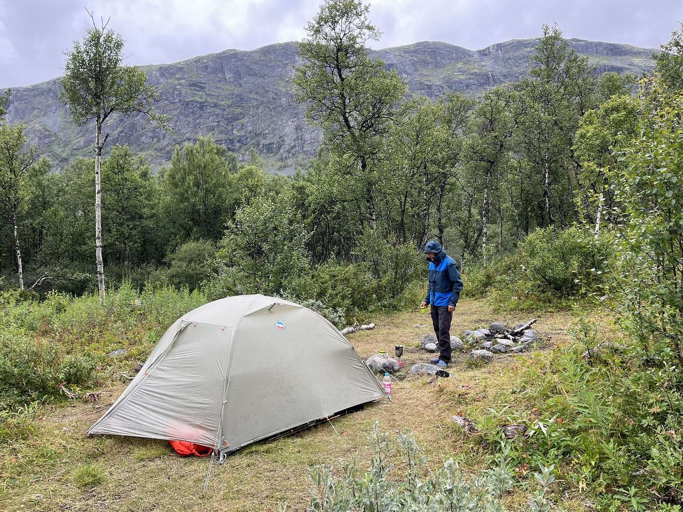
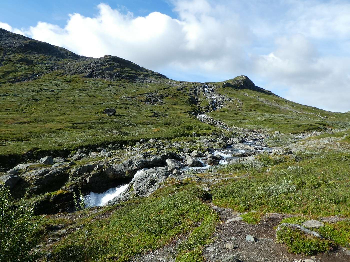
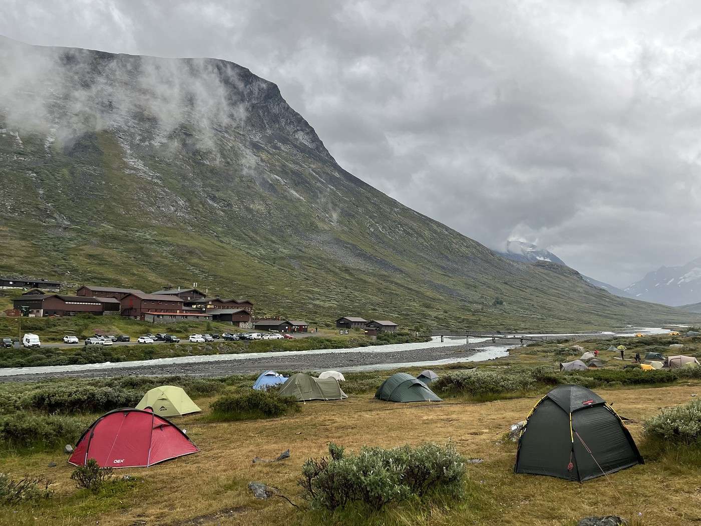
We spotted a nice spot about 1.2 km before the hut, by a river but also right by the trail (oh well, you can’t have everything).

We set up camp, had an infusion, two cookies, and since we were both exhausted, we treated ourselves to a 30-minute nap.


In the evening, we were able to eat outside—even with a beanie on, it’s way more pleasant than being hunched over in the tent.

Lights out at 9:15 PM.

Summary: 14.7 km – 640 m elevation gain The stage wasn’t huge, but between the rough terrain, the cold, and the weight of our packs, it really wore us out.

Trek in Norway: Jotunheimen and Dovrefjell, you’ll adapt to the rain...

Holigirl · 2026-10-14 · Message 7 of 26

Hi Laure,

This reminds me of my teenage vacations: I spent a month in July with my parents in a caravan on a road trip through Norway. 28 days of rain out of 30. The worst vacation memory—we almost killed each other 😉

Now, looking at your photos, it’s clear that under the sun, it must be magical. You just have to find the sun!

Anyway, hats off—it couldn’t have been easy, this trek.

Thanks for the travel journal!

Trek in Norway: Jotunheimen and Dovrefjell, you’ll adapt to the rain...

Calisson94 · 2026-10-15 · Message 8 of 26

Hi Pascale,

Wow, 28 out of 30 days! Luckily, our ratio wasn’t that high (I should calculate it, actually), and we were spared the urge to strangle each other 😏.

The sun *will* come, but not right away—unfortunately, and not for long.

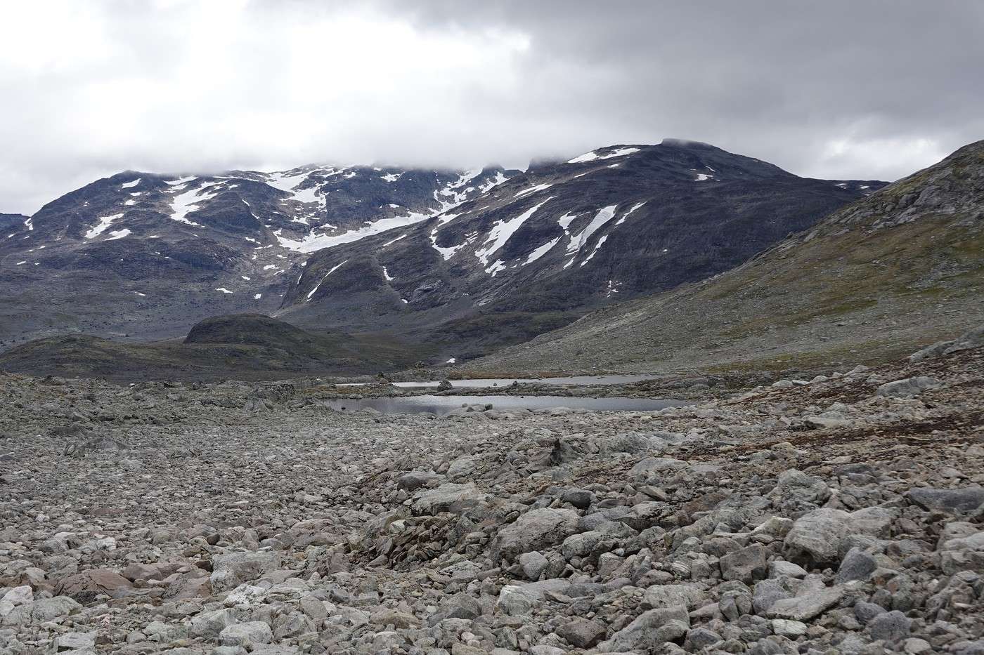
The hardest part for me was the tough progress on some stages because of "paths" made up entirely of big rocks.

Thanks for your message. See you later!

Hiking in Norway: Jotunheimen and Dovrefjell, you’ll have to adapt to the rain...

Calisson94 · 2026-10-15 · Message 9 of 26

Fri 08/07 – Gjendebu – Fondsbu

Last night we decided to head to Fondsbu—it’ll be a round trip since we’ll have to backtrack later, but with several possible routes, we’ll get to see different landscapes. Plus, we’ve got 2 days of leeway, so it should be fine for the rest of the trek.

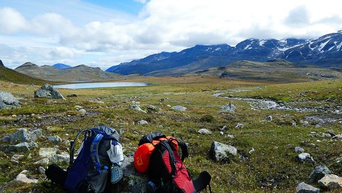
So, off to Fonsbu, following the river upstream and then heading west across the plateau, skirting lakes like Snoholsvatnet, joining the trail from Olavsbu, following Store Mjokedalsvatnet lake, and descending to Fondsbu. A big day, but the photos made it look stunning.

It all started well.

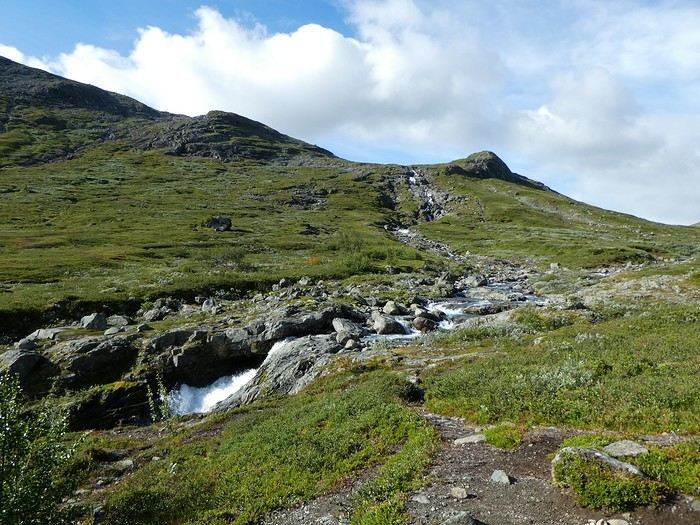
Woke up at 6:30 AM, set off at 8:10 AM. The trail winds gently uphill along the river, with Lake Gjende behind us looking gorgeous—even had a nice ray of sunshine, and the scenery was amazing.


Then, little by little, things took a turn for the worse!


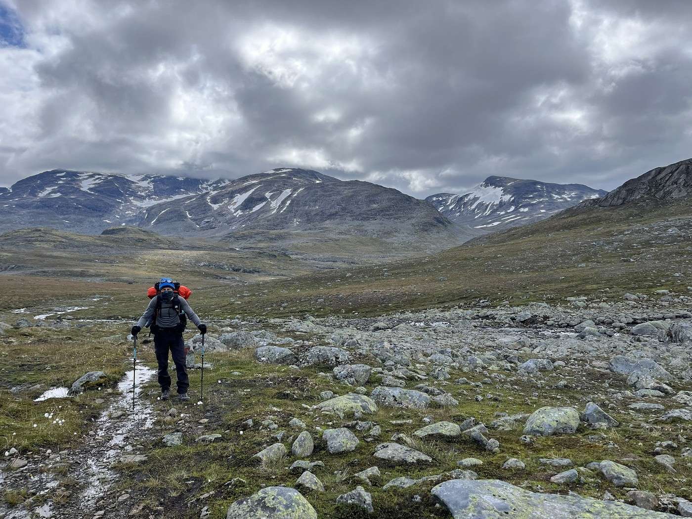
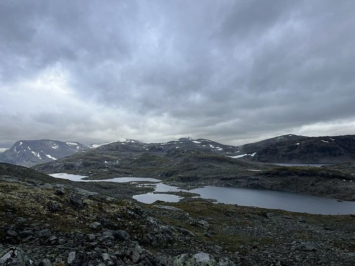
The sun vanished, only making brief reappearances. We got cold, we got rained on, we followed the lakes, and the trail became tough—just big rocks making progress slow and exhausting. We even had to cross a ford and put on our crocs. In short, the day felt endless, and I arrived at Fondsbu completely wiped out.

Still, the landscapes were incredible, and we saw another beautiful herd of reindeer.


Trek in Norway: Jotunheimen and Dovrefjell, you'll adapt to the rain...

Calisson94 · 2026-10-15 · Message 10 of 26

Fri 08/07 – Gjendebu – Fondsbu (continued)


We were alone except toward the end when we joined the path coming from Olavsbu. "End" is a bit of an exaggeration because Lake Store Mjokedalsvatnet seemed endless, as did the descent to Fondsbu.

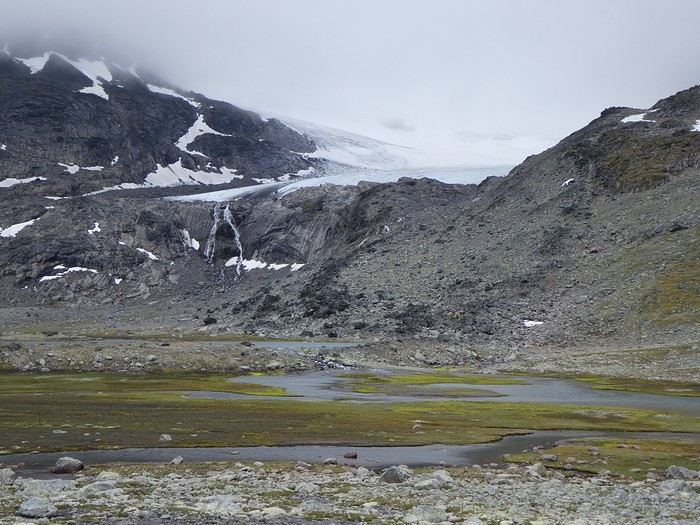
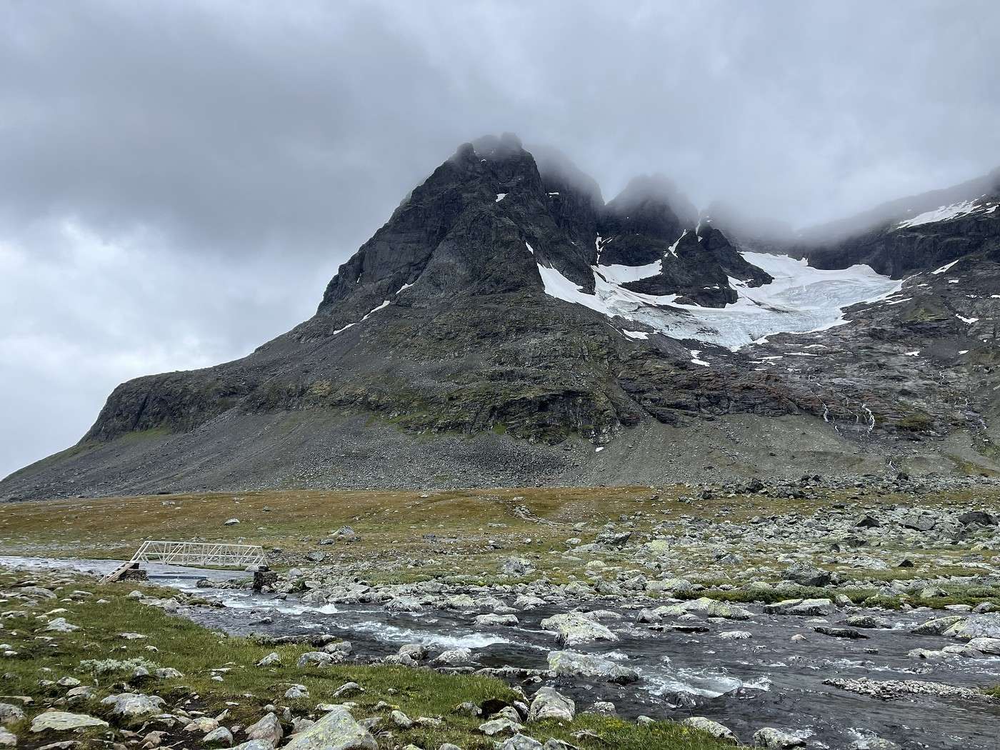
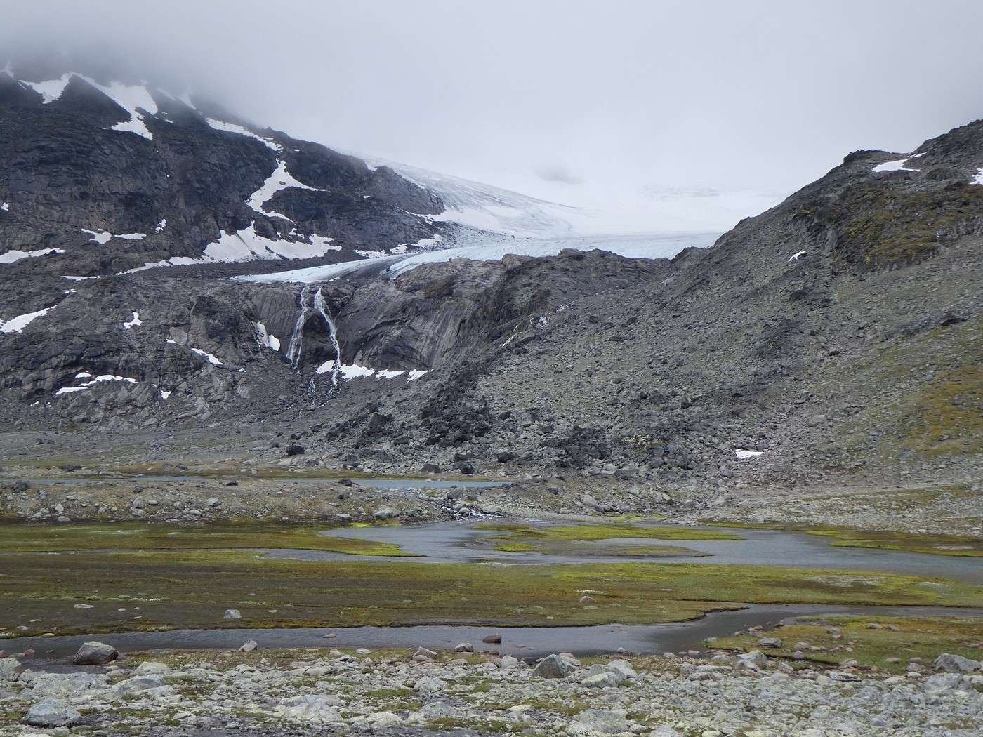
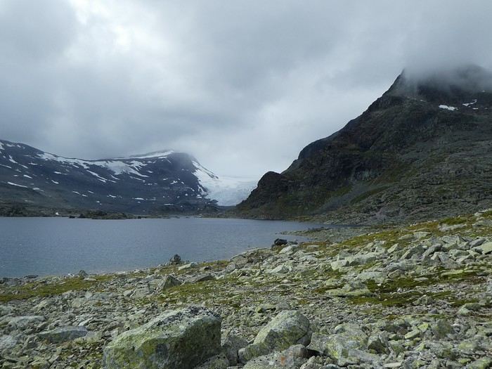
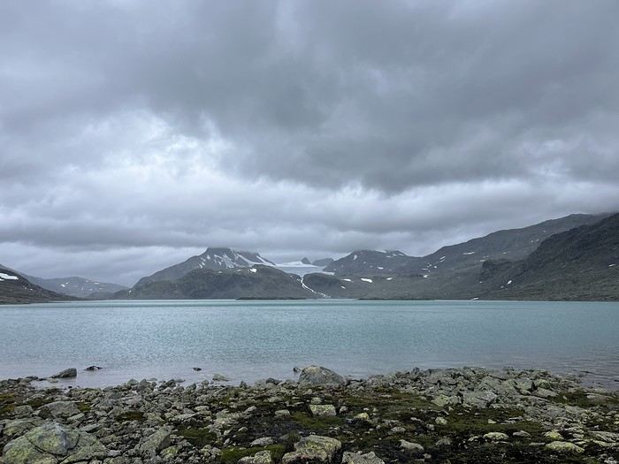
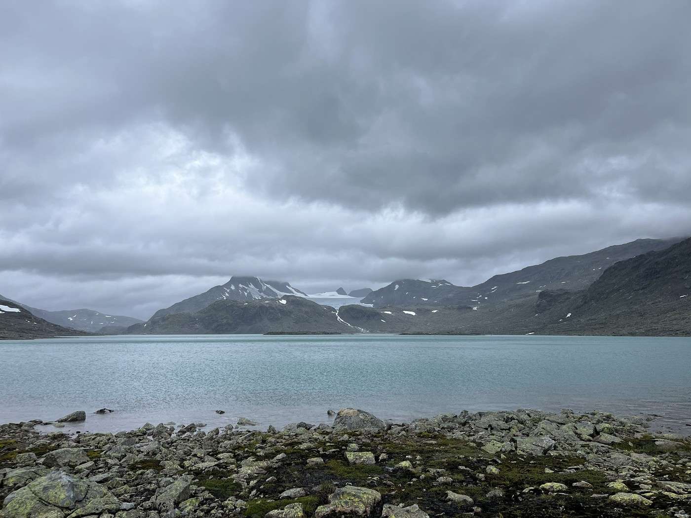
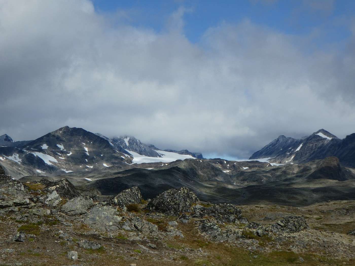
But with the glacier advancing toward the lake, it was breathtaking.


As we feared, there was no real camping here (the hut is accessible by road, so we had hoped a bit), so no kitchen to cook in the warm, and the forecast for the next few days was terrible (in short: rain, rain, rain!). Morale took a serious hit!

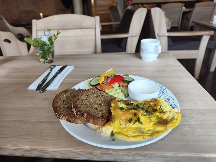
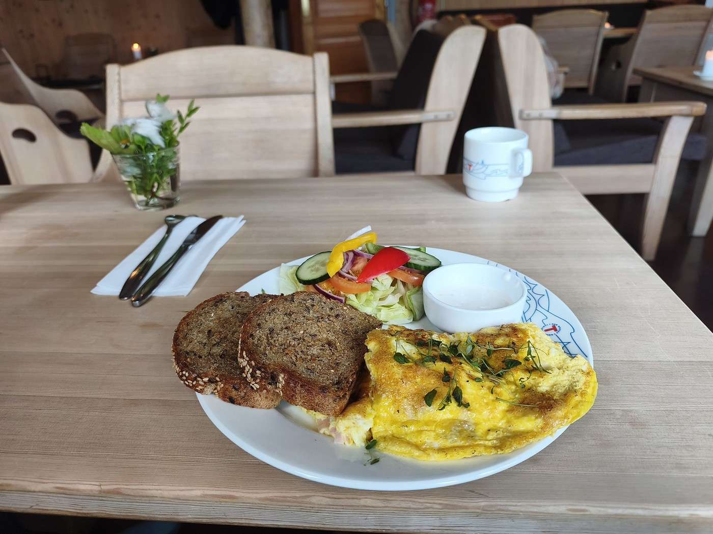
We pitched the tent next to the hut; we didn’t bother looking for somewhere farther away. We had hoped to eat an omelet we spotted on the menu, except we hadn’t noticed that service stopped at 5 PM.


So it was a freeze-dried meal in the tent, feeling pretty down—especially after hoping for a warm omelet...

Summary: 23.5 km – 963 m elevation gain – 9h40 of hiking

Norway Trek: Jotunheimen and Dovrefjell, You’ll Adapt to the Rain...

Calisson94 · 2026-10-16 · Message 11 of 26

Sat 08/08 - Round trip to Slotafjellet

In the morning, after checking the weather again, we decided we had to adjust the rest of the trek to avoid hiking in the rain for days. We chose to take advantage of the forecasted return of sunshine in 4–5 days for the "famous" ridge and skip the northern section that goes via Galdhøppigen, Norway’s highest peak. But we’re not giving up on it completely—we can always reach the starting point by road later.

For the next two days, we’ll stay here and wait for the worst of the rain to pass.

But there’s no way we’re staying cooped up all day, so we’re heading up to Slotafjellet, a summit just above us.

The round trip will take about 2 hours. The weather was a bit clear when we left, but it gradually worsened.

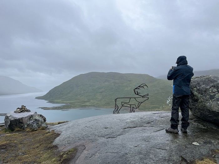
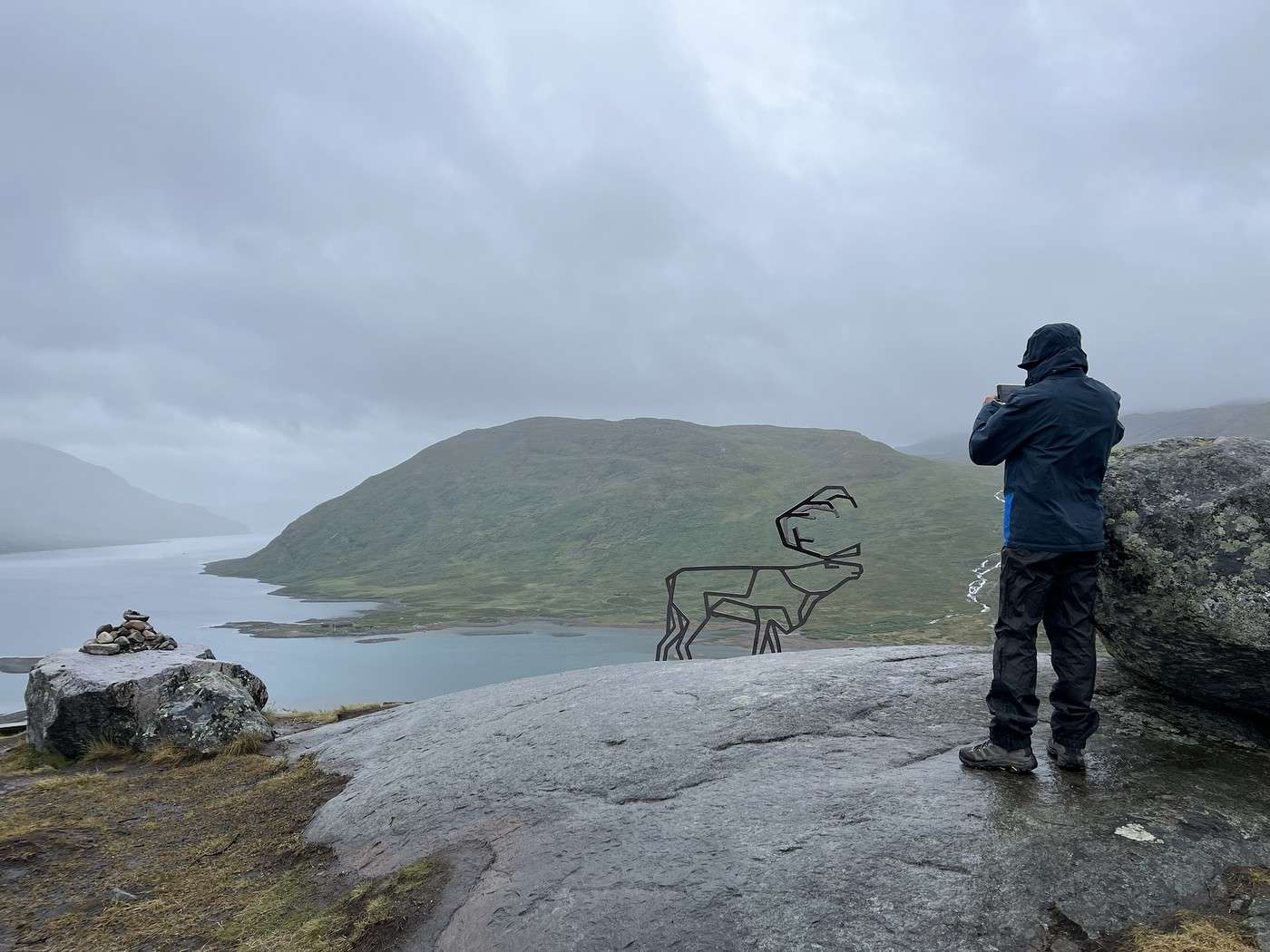
It was pretty overcast when we passed the reindeer sculpture.


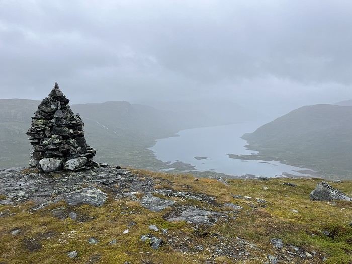
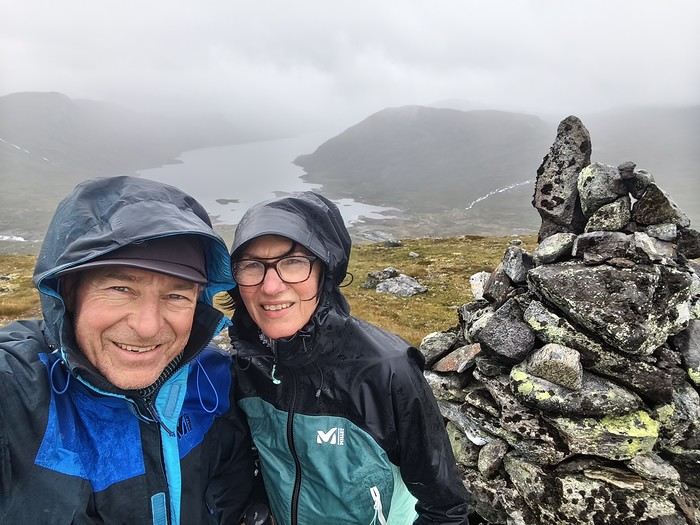
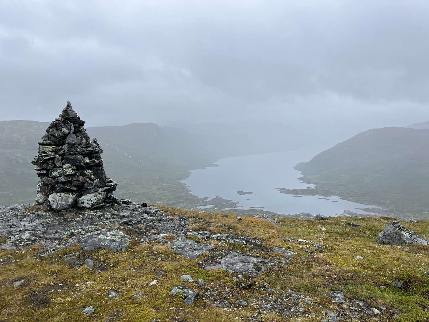
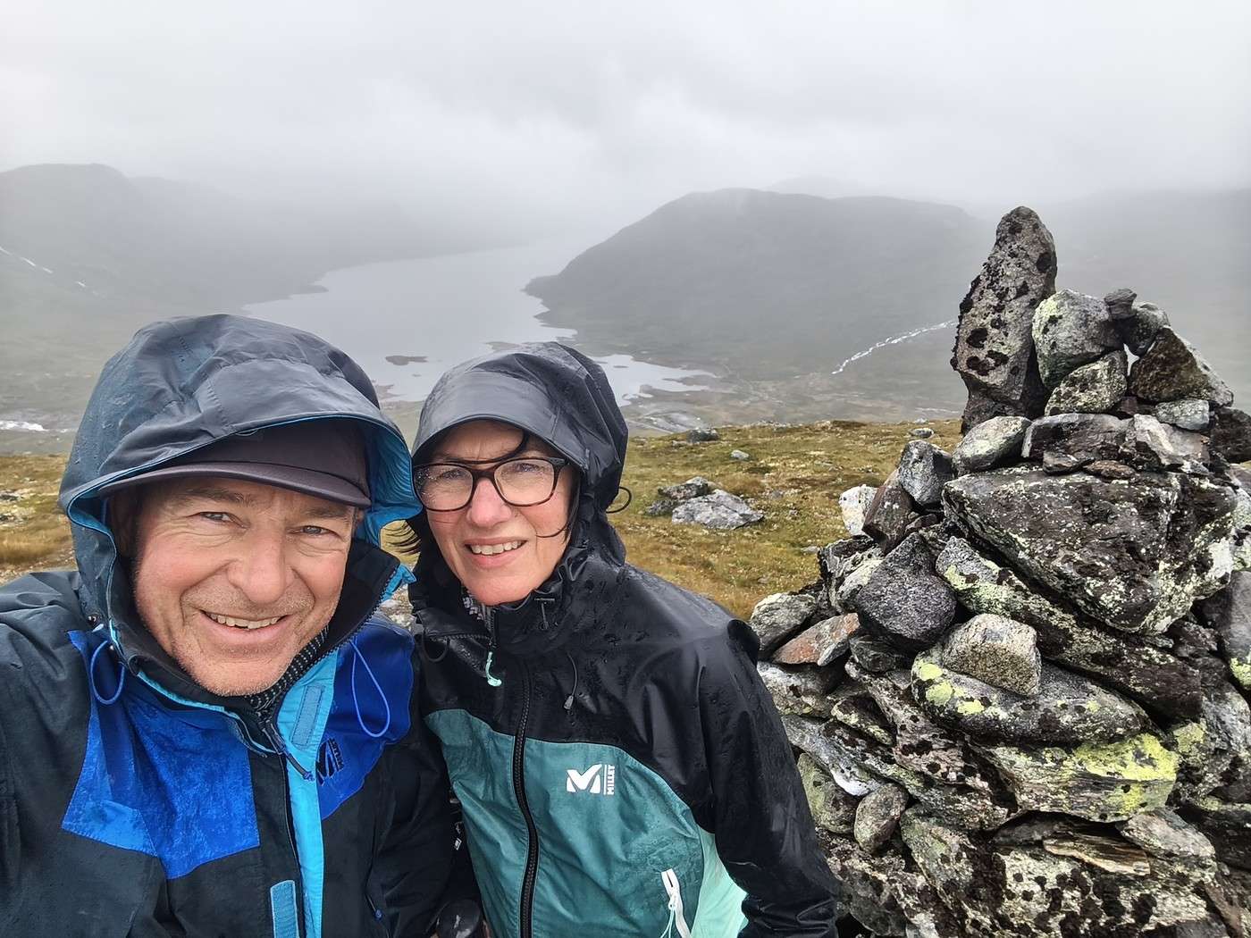
And completely obscured when we reached the top, with fairly heavy rain!


We got back to the hut soaked but happy to have gotten some fresh air. And we finally got to enjoy that famous omelet we missed last night.


Happiness is also in the omelet

Afterward, we paid the fees to use the hut’s facilities—the dryer and showers (a hot shower = the other happiness for a backpacker). In the showers (not mixed but communal), there were two girls who had just arrived, completely frozen after hiking all morning in the rain.

We spent the afternoon in the hut with a hot chocolate, glad we weren’t out hiking in the rain, which had picked up again.

Later in the evening, we headed back to our tent for our freeze-dried dinner and checked tomorrow’s weather forecast because I really want to see the Uranosbreen glacier and Kvitevatnet lake (about 7 km from here).

Well, light rain in the early morning, then heavy rain around 11 a.m., so we’ll set the alarm for 5:45. Since we don’t need to pack up, we should be able to hit the trail pretty quickly. And with the prospect of drying our stuff when we get back, we fall asleep feeling relatively confident.

Summary: 4.8 km – 360 m elevation gain

Trek in Norway: Jotunheimen and Dovrefjell, you’ll adapt to the rain...

Calisson94 · 2026-10-17 · Message 12 of 26

Sun 09/08: Round trip to Lake Kvitevatnet

The alarm went off as planned at 5:45 AM, and by 6:40 AM we were on our way. I’m traveling light—JM is carrying our stuff. We’re hoping to make good time before the heavy rain arrives.

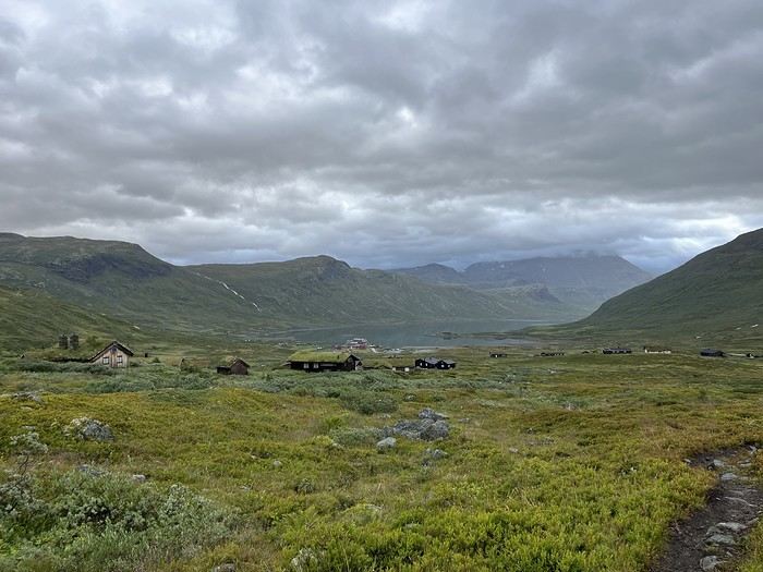
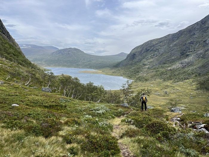
After a pretty muddy but manageable climb with great views of the bay and local houses, we started following lakes and moving over rocky terrain.


It was vast, breathtaking, and—of course—we weren’t bothered by other hikers.


But we weren’t moving fast, and I was a little stressed that the heavy rain would catch up to us. We decided to keep going at least to the lake and see from there. We made the right call—it was a stunning blue with a view of the glacier in the distance.


We pushed a little farther, but following the lake and getting closer to the glacier would’ve taken too long, so we turned back, happy to have made it that far.

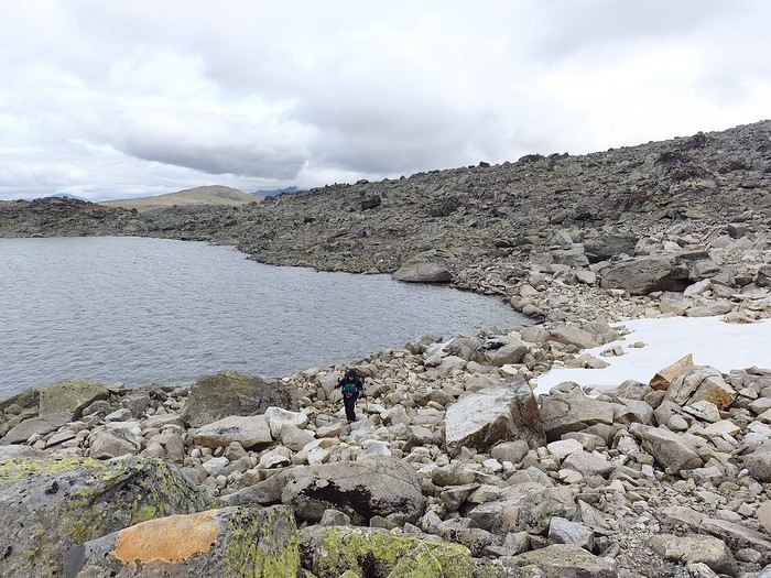
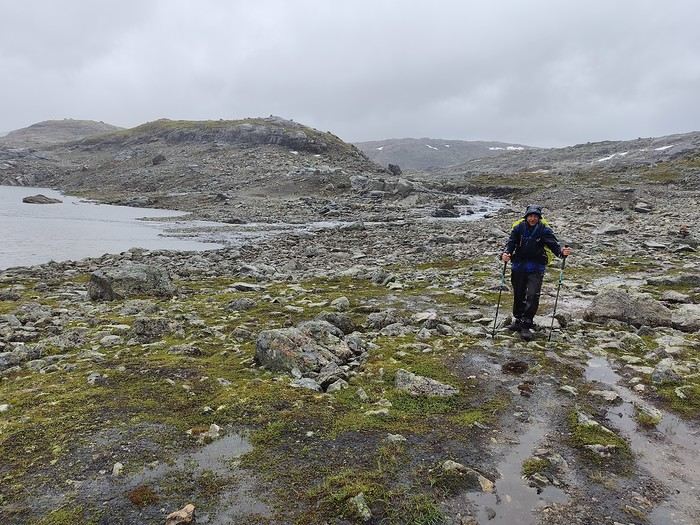
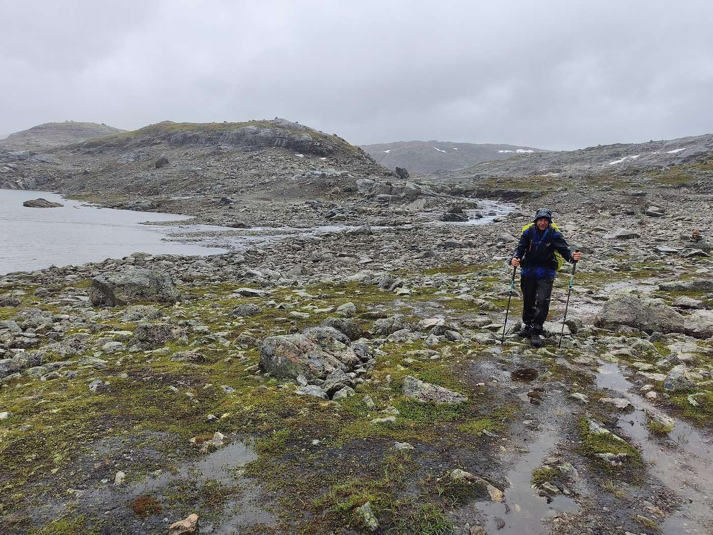
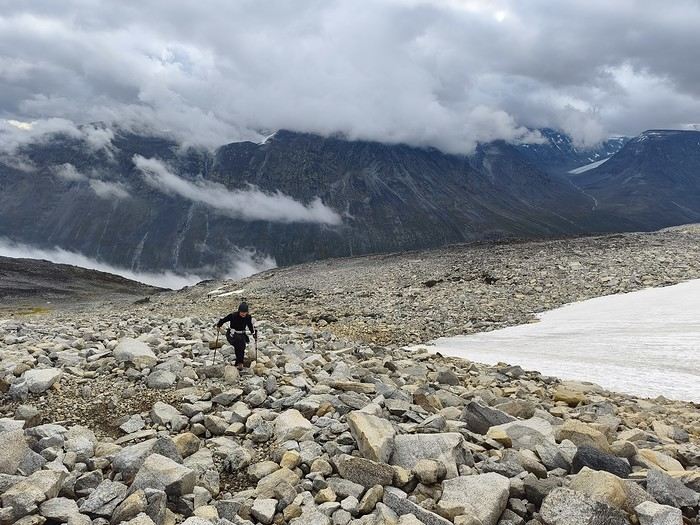
We were extra careful on the return trip—walking on the rocky terrain requires real attention when it’s dry, but when it’s wet, you’ve got to be twice as careful. And when it’s covered in green moss? Forget about grip—no shoe will stick!

And of course, the heavy rain caught up with us on the way back.


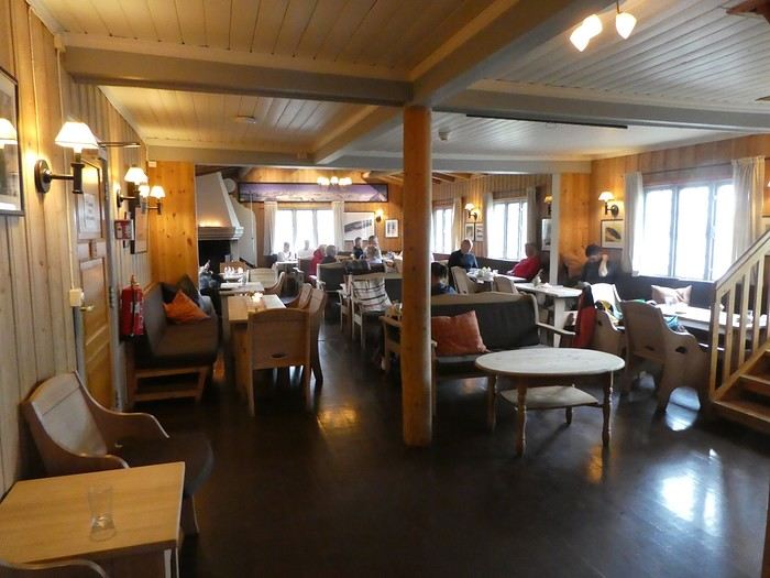
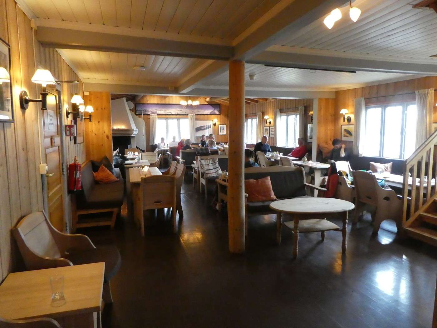
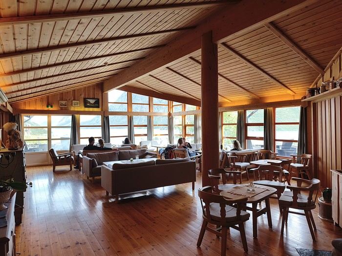
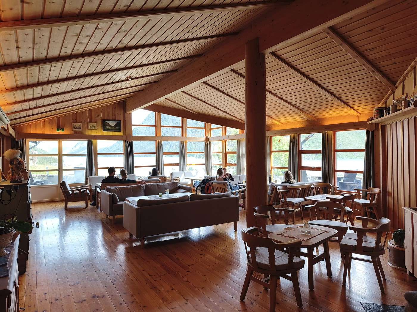
Back at the hut, we used the dryer to drop off our soaked clothes, changed, had lunch at the refuge (yes, we deserved it), took a hot shower, napped, and spent the rest of the afternoon warm and cozy. We really appreciated the comfort of the refuge’s common room—setting up camp nearby was a great idea during these rainy days.


Ugh, the weather that was supposed to improve a little tomorrow isn’t going to improve at all! Oh well, we’ve got to keep moving if we want decent weather on the ridge. We’ll camp and dry off at the Gjendebu refuge.

Summary: 13.9 km - 580 m elevation gain - 5h

Hiking in Norway: Jotunheimen and Dovrefjell, you’ll adapt to the rain...

Calisson94 · 2026-10-18 · Message 13 of 26

Read 08/10 – Fondsbu – Gjendebu

In the morning, we take down the tent during a lull in the weather and put it in the dryer while we have our cereal in the lodge’s common room.

At some point, we have to leave (in the rain, but with a dry tent—great comfort for the end of the day).

We opted for the shortest route to Gjendebu, which isn’t the official trail. That probably wasn’t the smartest choice...

A few last photos of the place,


one last look at Lake Bygdin


and we start a pretty steep and muddy climb.

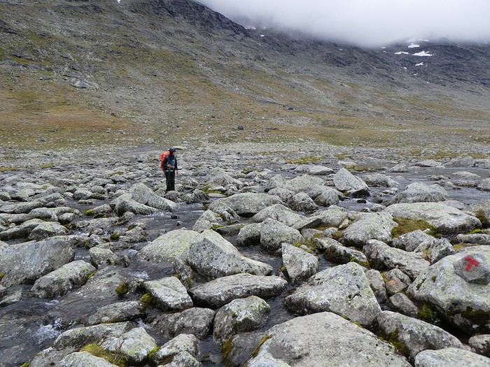
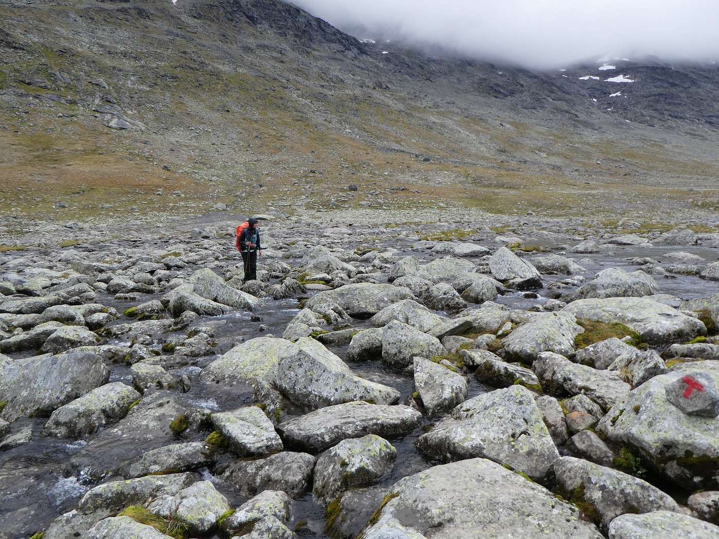
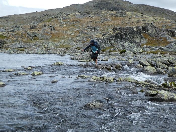
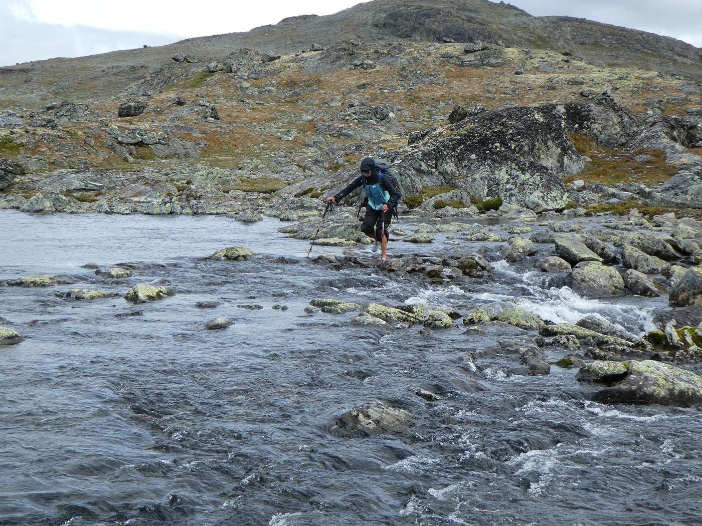
Once on the plateau, we get blocked by a big river. Impossible to cross without soaking our shoes, so we have to put on our crocs. I’ll let you imagine the joy of taking off shoes, socks, securing them, crossing, and doing the reverse on the other side—all in the rain and cold.

Luckily, after that stretch, the trail gets easier, and we move faster.

Until a second river, swollen from days of rain with a strong current. Crossing at the cairns turns out to be tricky, even with crocs.

We spend a good while looking for another spot, and—yep—back to the crocs in the rain. I messed up my crossing, didn’t hike my pants up enough, and now I’ve got wet pants.

We sped up as much as possible to warm up. It took us a while to find the cairns again since we’d left them to look for a crossing. After that, we just followed them to the pass we’d crossed three days earlier.

Very few photos from this part—too busy battling the liquid elements.

Just this beautiful herd of reindeer and this photo on the way to the pass.


The end of the stage was less epic thanks to a break in the weather and a little wind that dried my pants. We even managed a (short) lunch break without getting too cold.

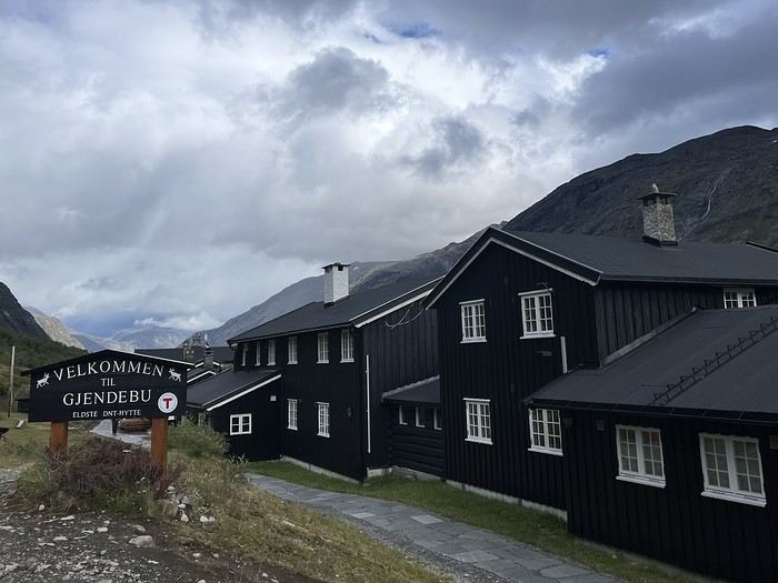
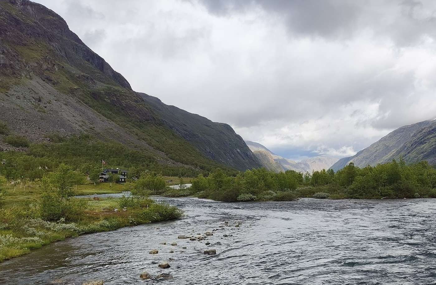
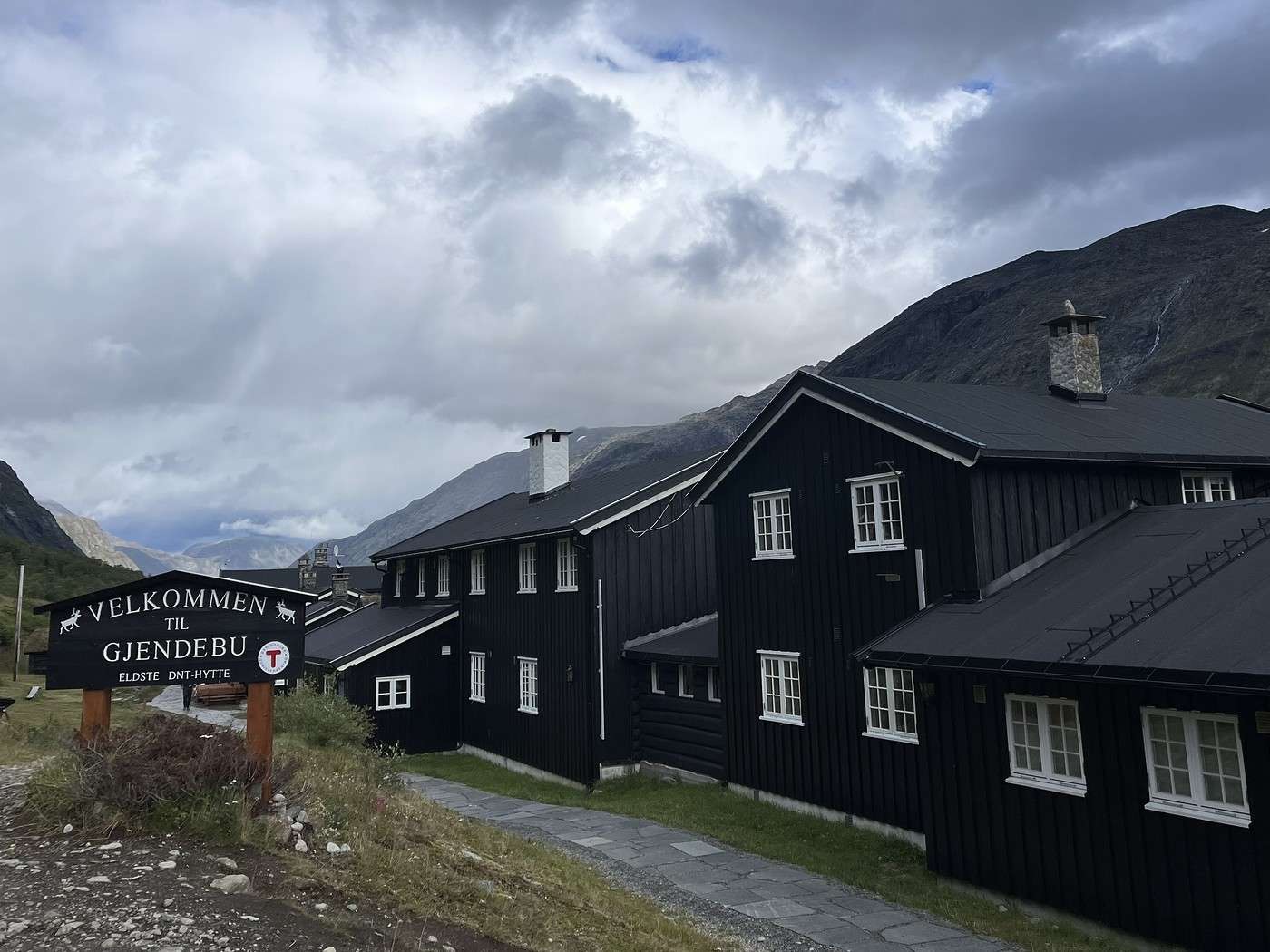
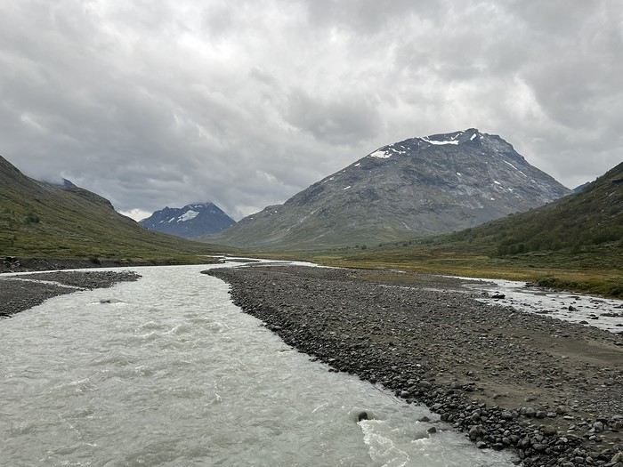
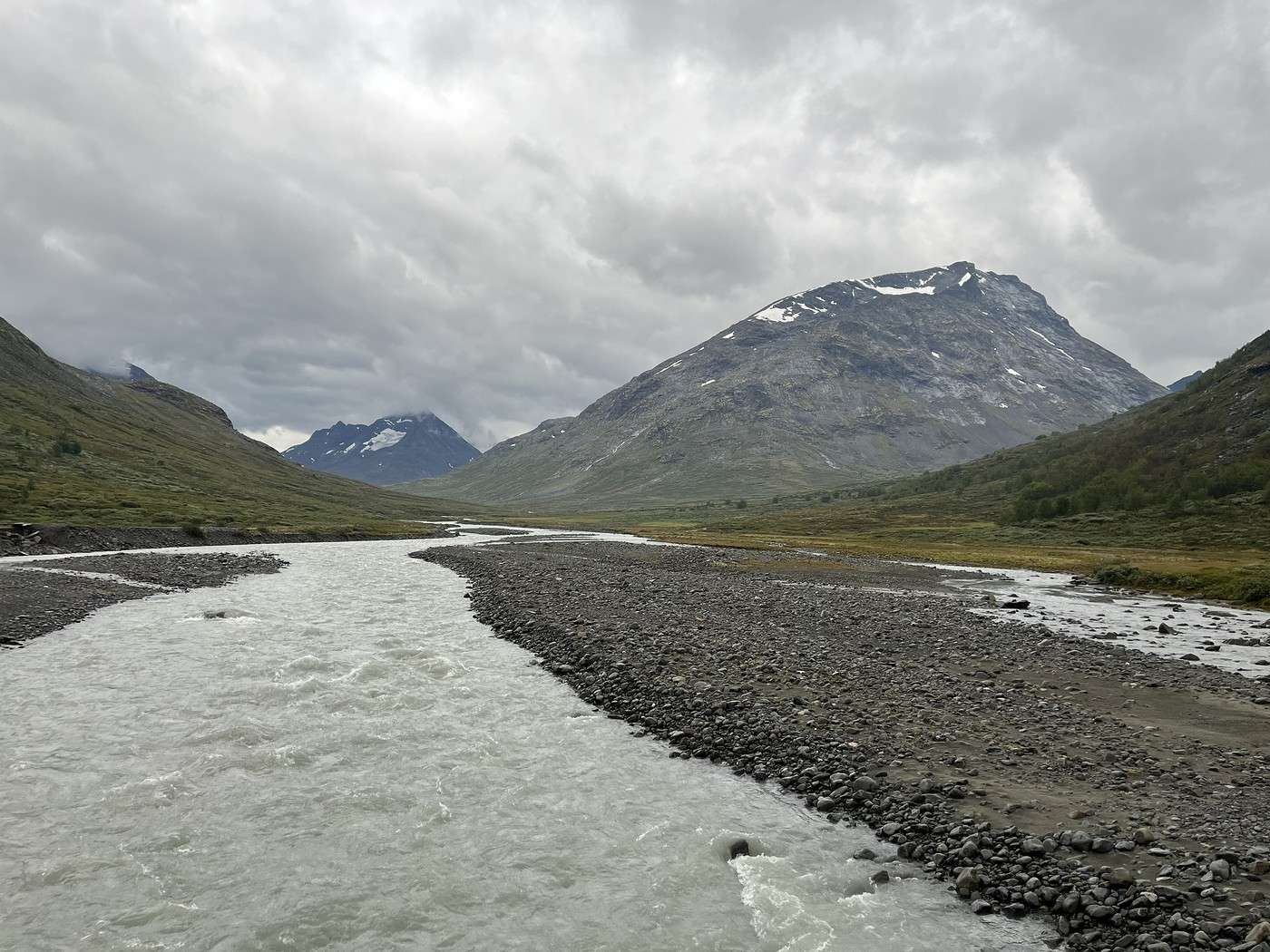
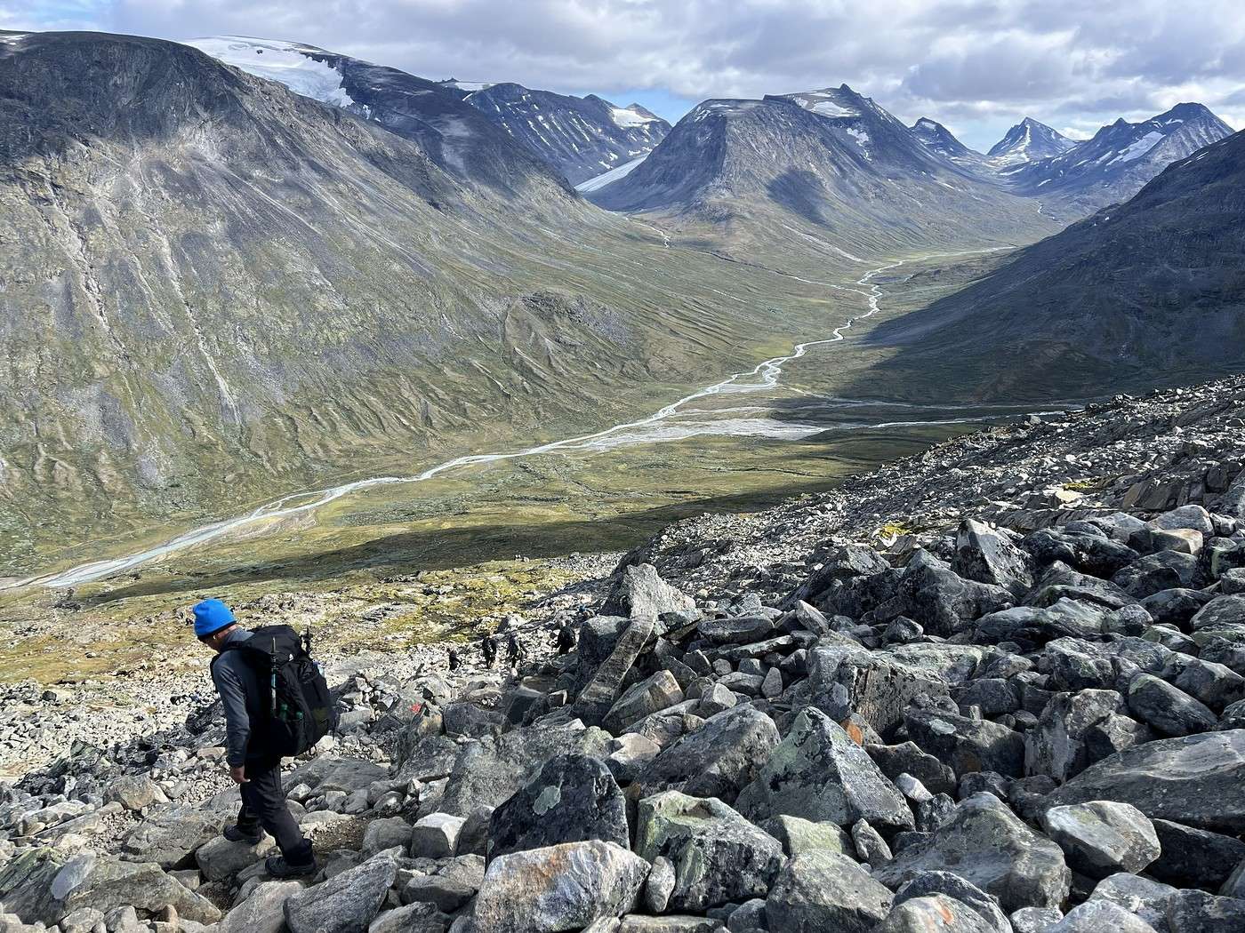
Then came the easy descent along the river. There you go—Gjendebu lodge isn’t far now.


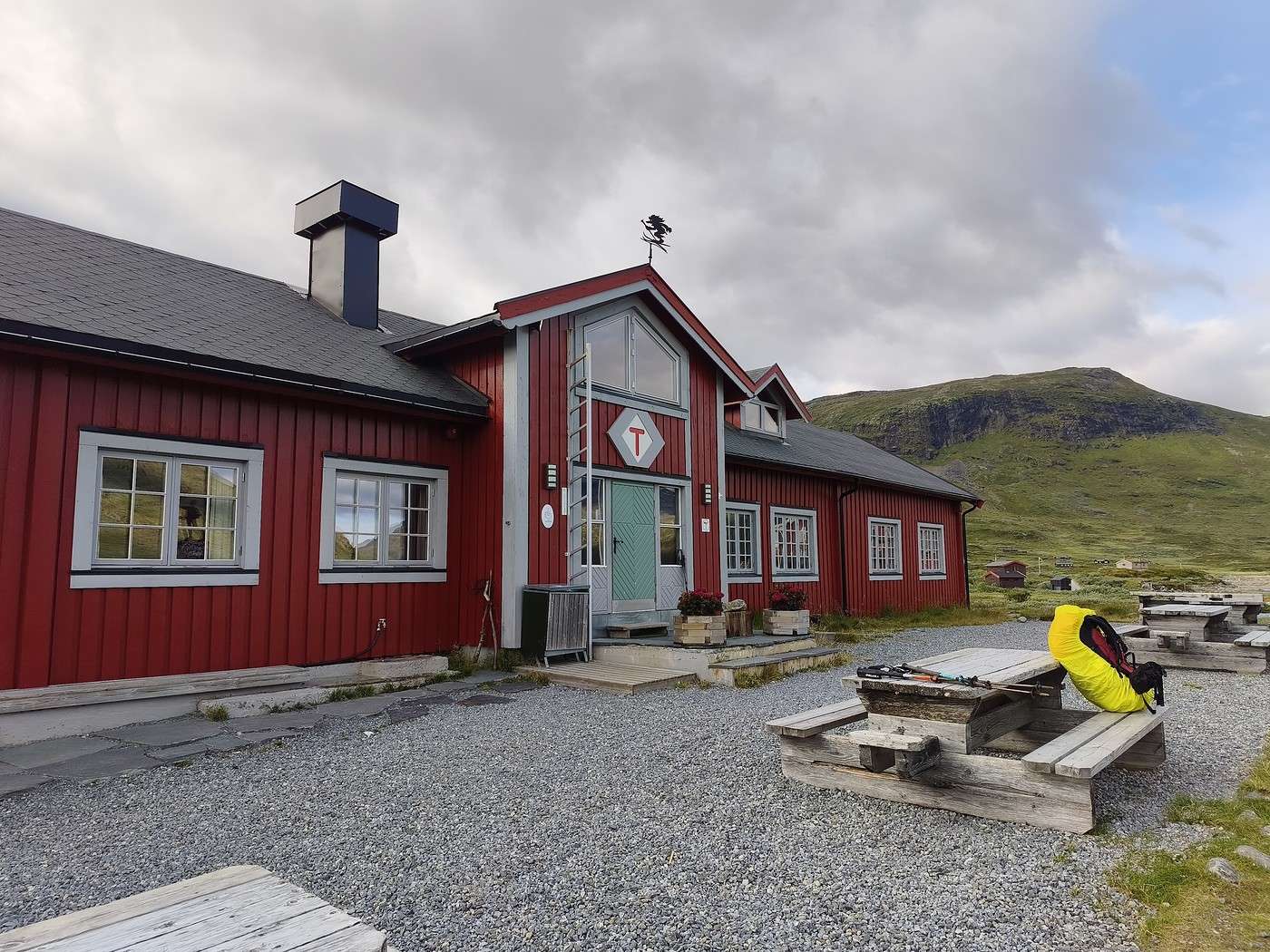
We happily paid the fee to camp near the lodge, dry our stuff, take a nice hot shower, and enjoy the fireplace.

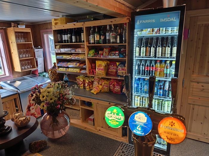
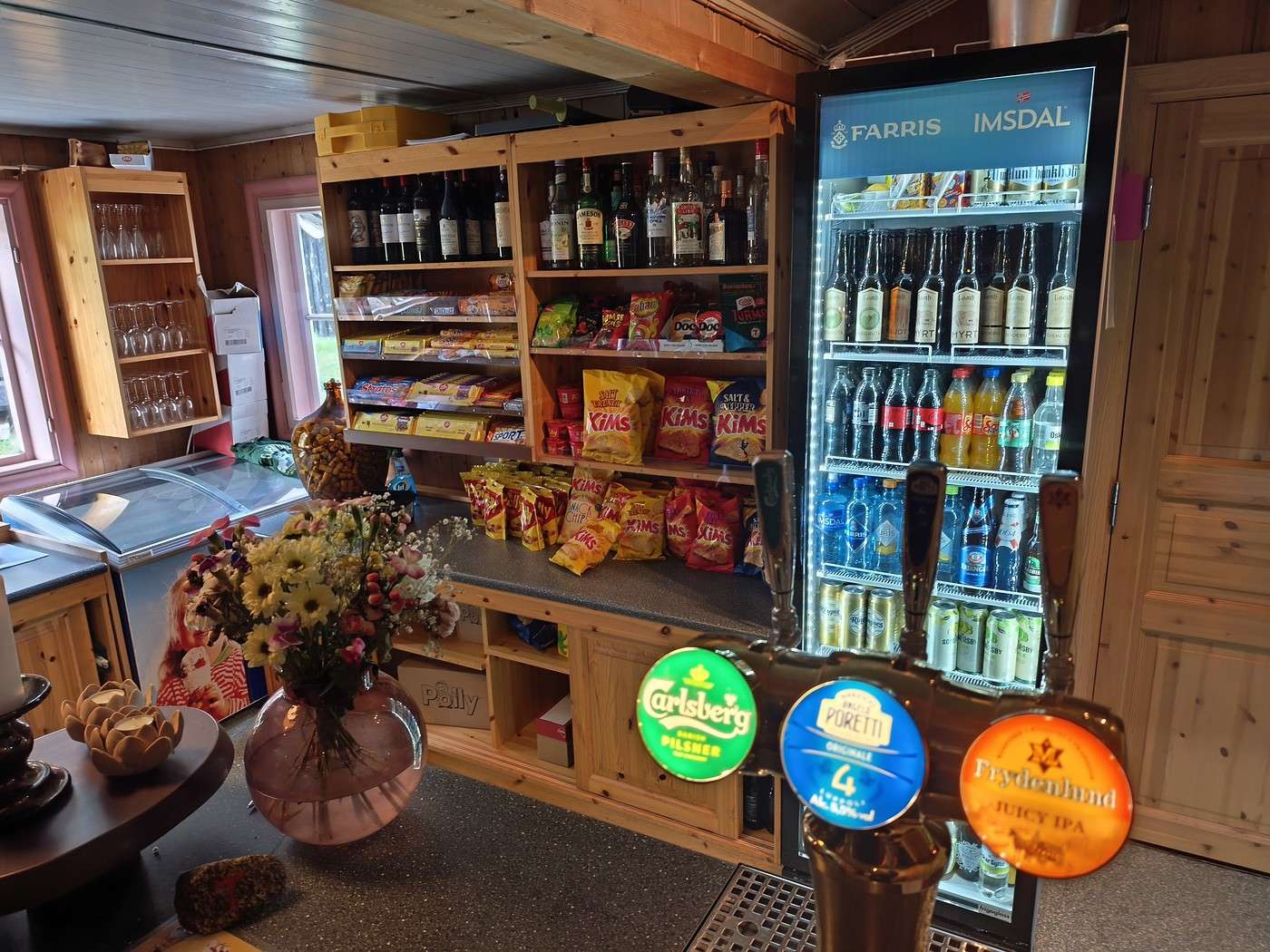
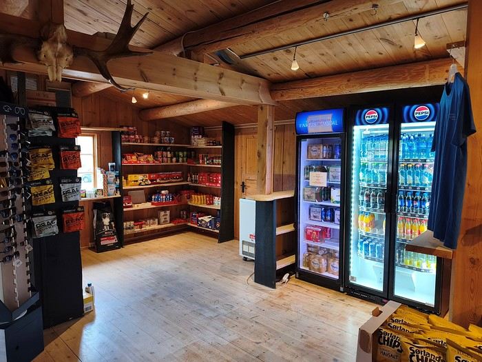
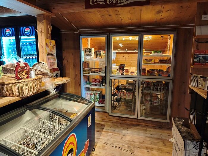
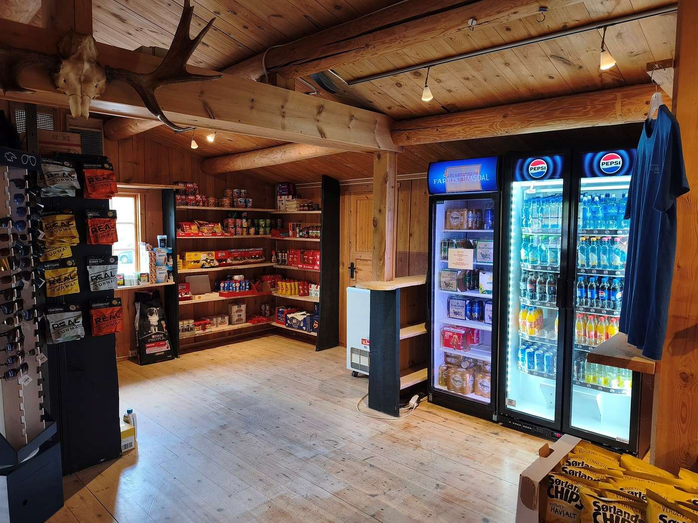
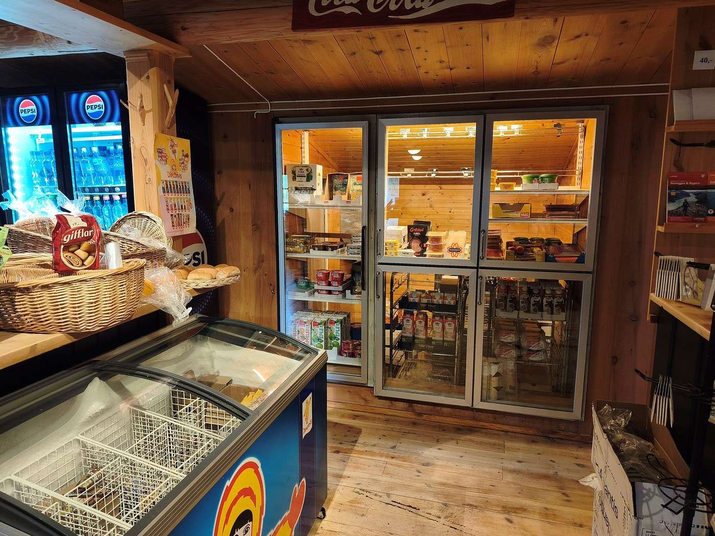
The dining room and dinner looked really tempting, but at 60 € per person for those of us without a DNT card (same price in all DNT lodges), we reasonably decided to skip it. Here’s a photo of the lodge’s shop. Like at Fondsbu, there’s candy, chips, drinks, but not much that’s more substantial. Don’t count on restocking during the hike at lodges that serve food.


Summary: 16.3 km – 540m elevation gain – 6h

Hiking in Norway: Jotunheimen and Dovrefjell, you’ll adapt to the rain...

Calisson94 · 2026-10-20 · Message 14 of 26

Wed 08/11 - Gjendebu - Before the Bessengen ridge

A sublime stage with the best weather of the trip.

8:50 AM, we’re off again.

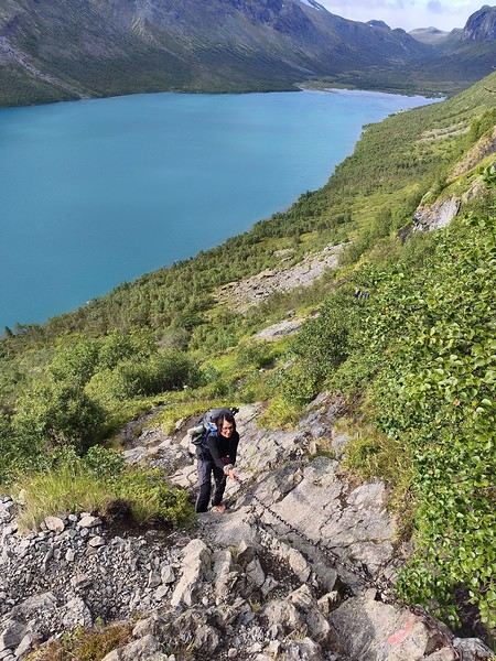
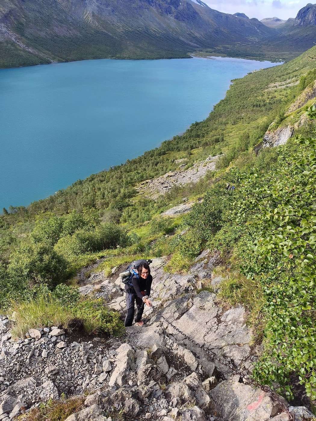
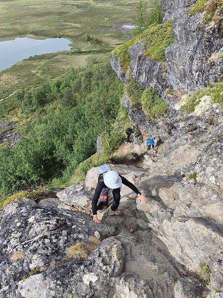
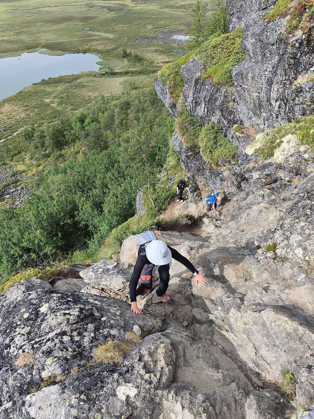
A bit of flat along the lake, then it’s a killer climb: so steep there are four sections equipped with chains, all that over nearly 500 m of elevation gain.


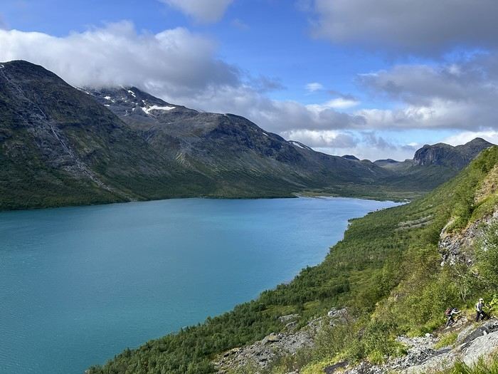
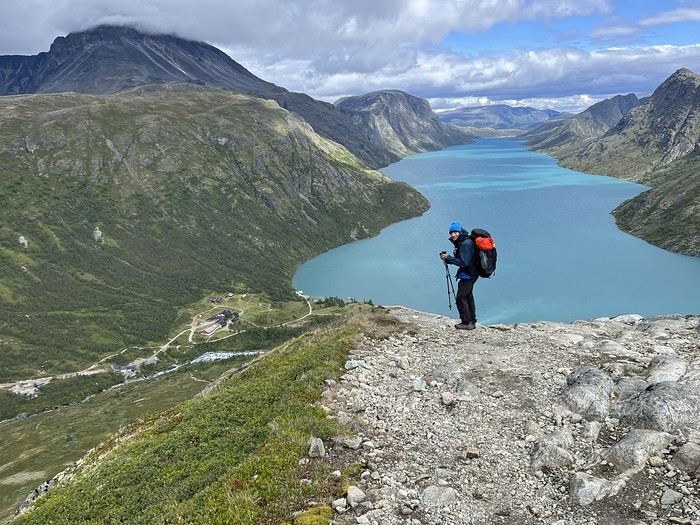
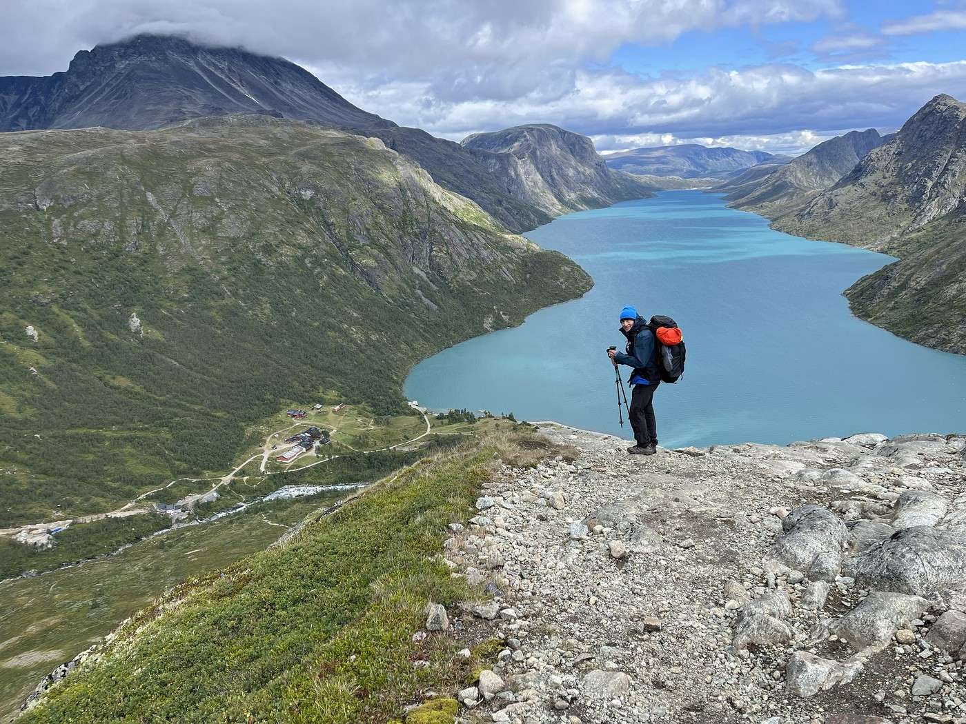
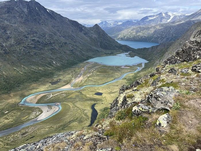
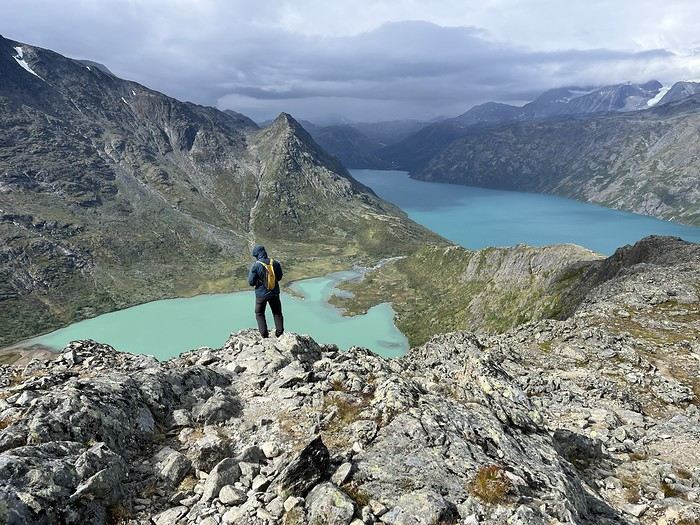
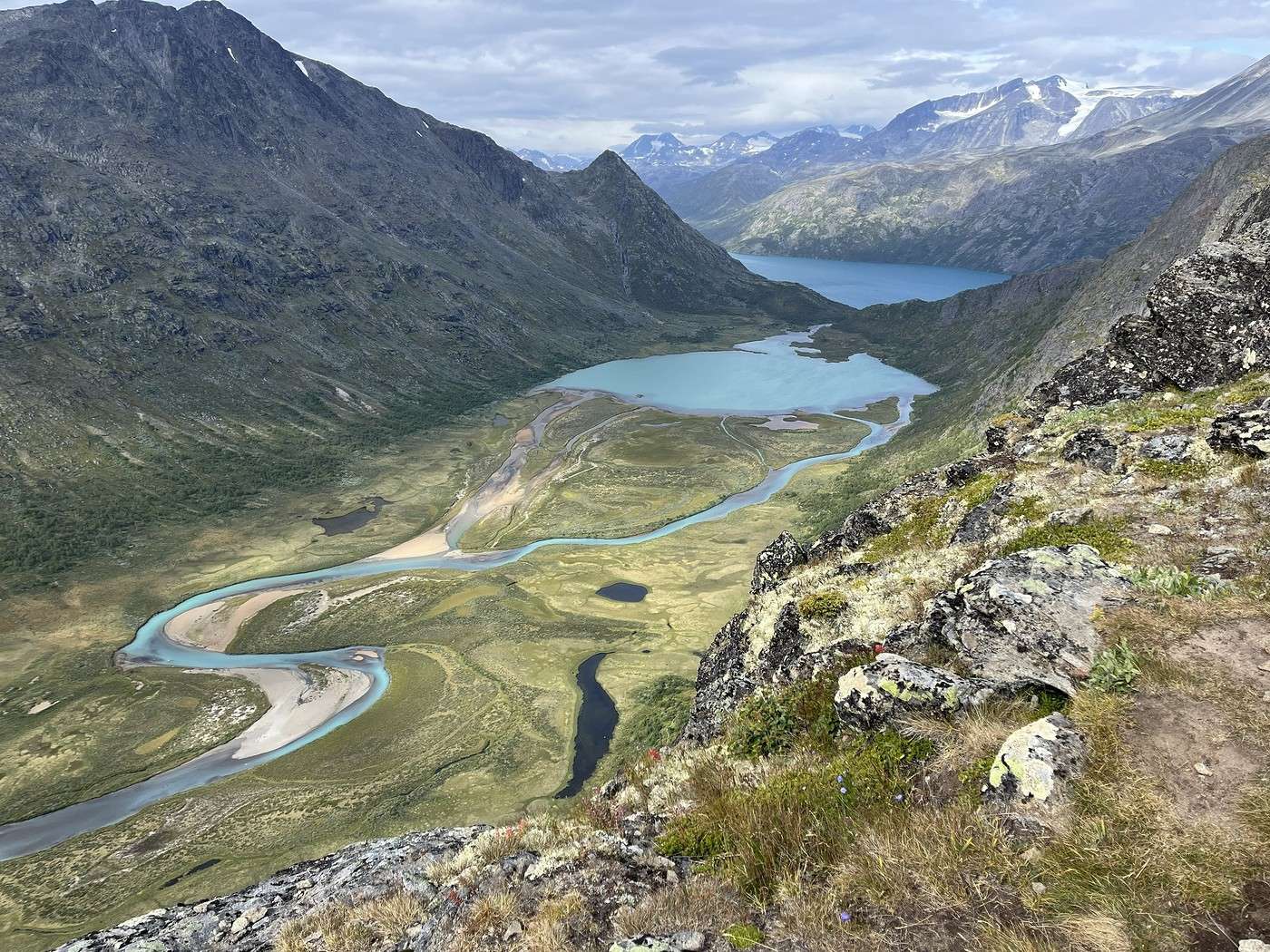
Lake Gjende offers us its most beautiful colors—I wasn’t short of photos to capture it.


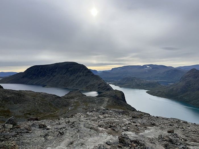
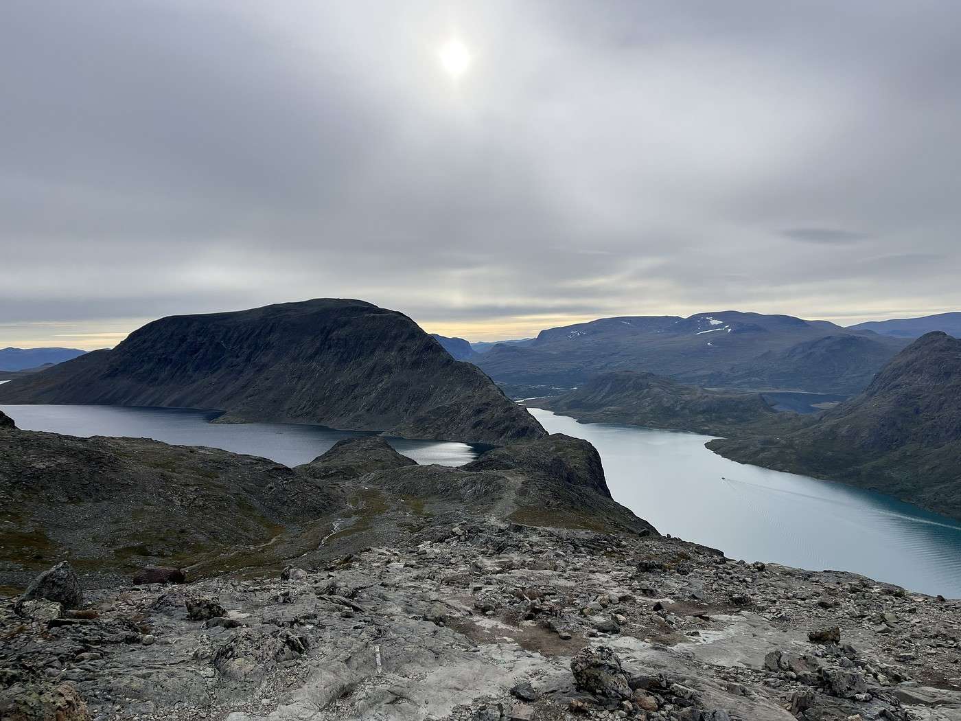
At the top, the view is breathtaking: of course, Lake Gjende below, but on the other side, other lakes, the snow-covered mountains in the northern part of the park, including Galdhøpiggen, which we were supposed to climb if the rain hadn’t ruined our original plan.


But as the saying goes, "every cloud has a silver lining," because this change of plans led us to this stunning stage, which wasn’t originally on the itinerary.

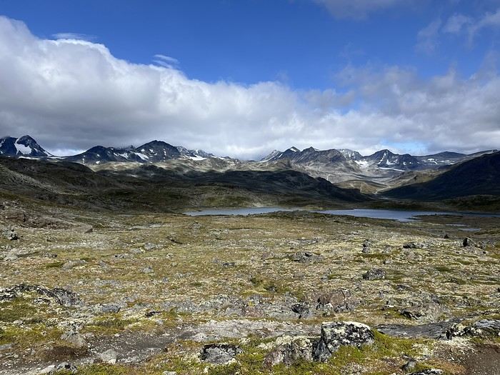
On the plateau, it’s far from flat. But the path is easy, and for the first time, walking along the lakes doesn’t mean dealing with a rocky scree...


There are quite a few people on this section—it’s the route to the ridge, the famous one, and our other original plan to camp away from the huts didn’t pan out.

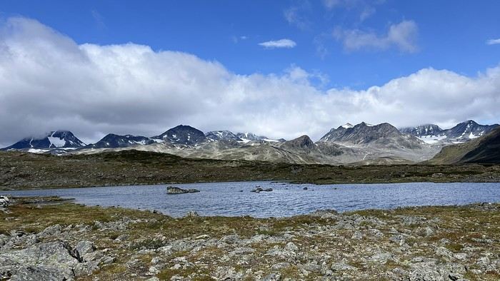
We take a nice lunch break facing Lake Sjugurdtindjønne, then set off again. The wind is very chilly—impossible to take off the Gore-Tex.


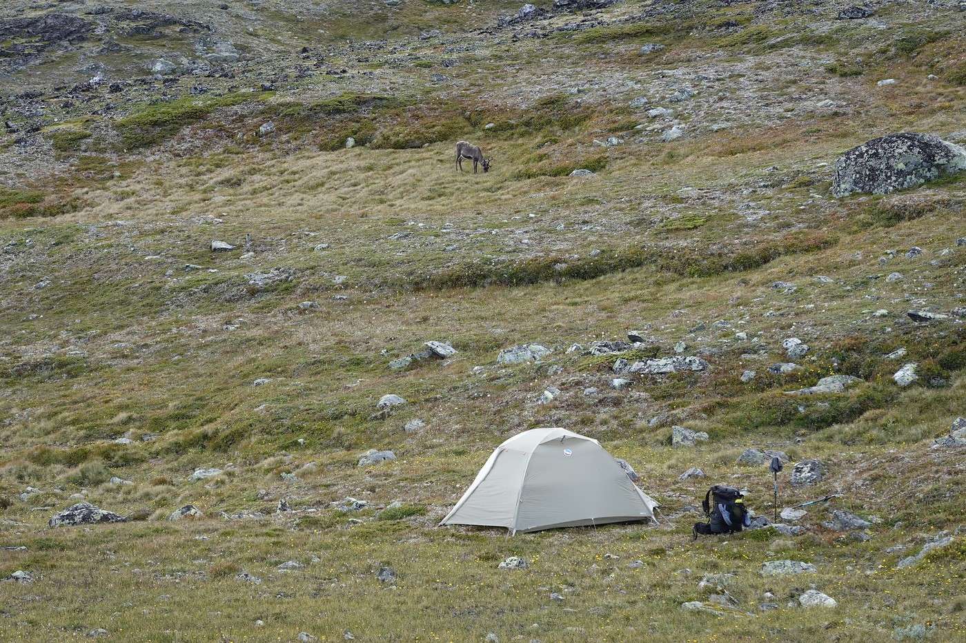
This ridge towering over the next hut is impressive (it’s not yet the famous ridge). But the hike is easy, and we come across a herd of reindeer that aren’t too skittish.


Descent toward Memurubu hut, where we take a good break and check the weather (too bad, tomorrow’s looking gray).

Trek in Norway: Jotunheimen and Dovrefjell, you'll adapt to the rain...

Calisson94 · 2026-10-20 · Message 15 of 26

Shall we carry on? Let's go, we're gathering our strength (well, mostly me) and resuming our journey. Tomorrow it's Crete—well, the famous one—we want to avoid the crowds, so we're getting closer tonight.

It's tough leaving the comfort of the refuge, especially since a big climb awaits us.


Luckily, it'll be an easy one. From the top, we can see the ridge we hiked earlier before reaching the refuge.


Then we tackle a few more hills with a super cold wind before setting up the tent around 5:15 PM above a lake (no name on the map), before the one at Bjonboltjonne.

Once the tent was up, we climbed to the top of the next hill, where, just as I hoped, we discovered a dreamy panorama, then headed back to the tent.

Oh, there are reindeer nearby.


End of the day sheltered from the wind in the tent. The stage was long—my watch says 34 hours of recovery ;-)

Summary: 15 km – 1,385 m elevation gain – 7h12

Hiking in Norway: Jotunheimen and Dovrefjell, you’ll adapt to the rain...

Calisson94 · 2026-10-22 · Message 16 of 26

Me 08/12 - Bessengen Ridge – Maurvangen campsite

6:30 AM, the alarm goes off. We were so cold last night! Even Jean Marie, who has a -18°C / comfort -6°C sleeping bag.

The weather is gray, but we expected that.

By 7:45 AM, we were on our way. We saw three people while we were packing up. We start with the hill from last night. Here’s the panorama we discovered at the end of the day. Across from us, Knutshoe and its ridge (another one), where I hope to go tomorrow.


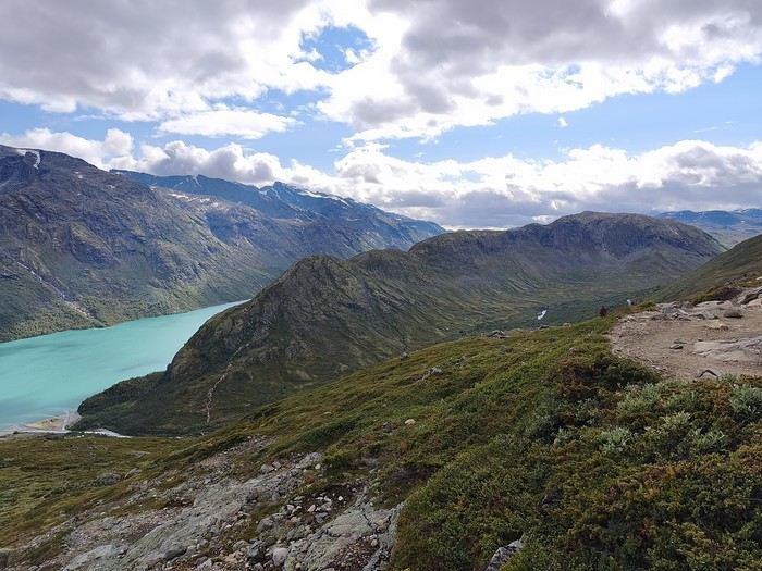
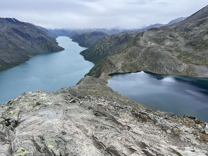
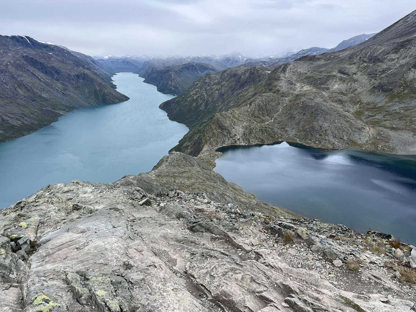
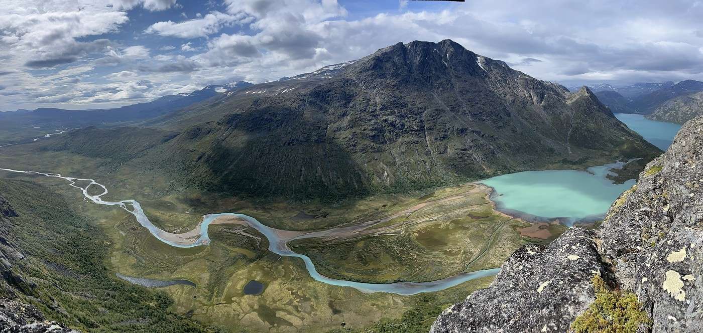
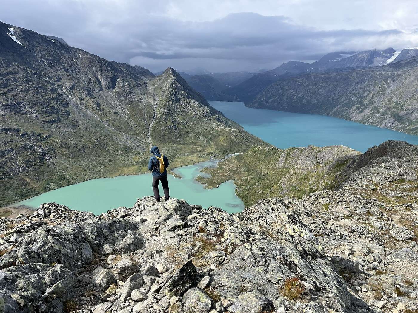
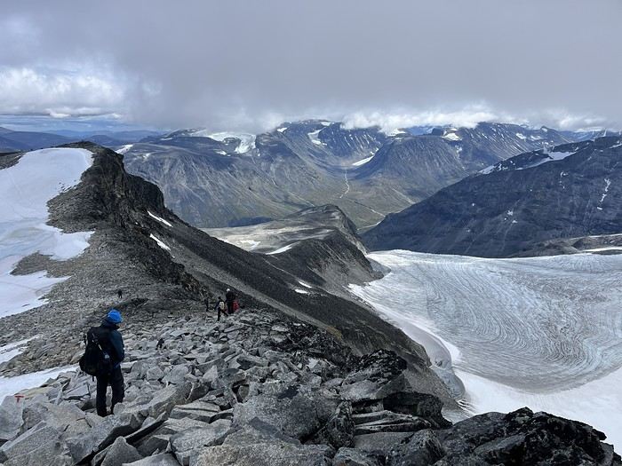
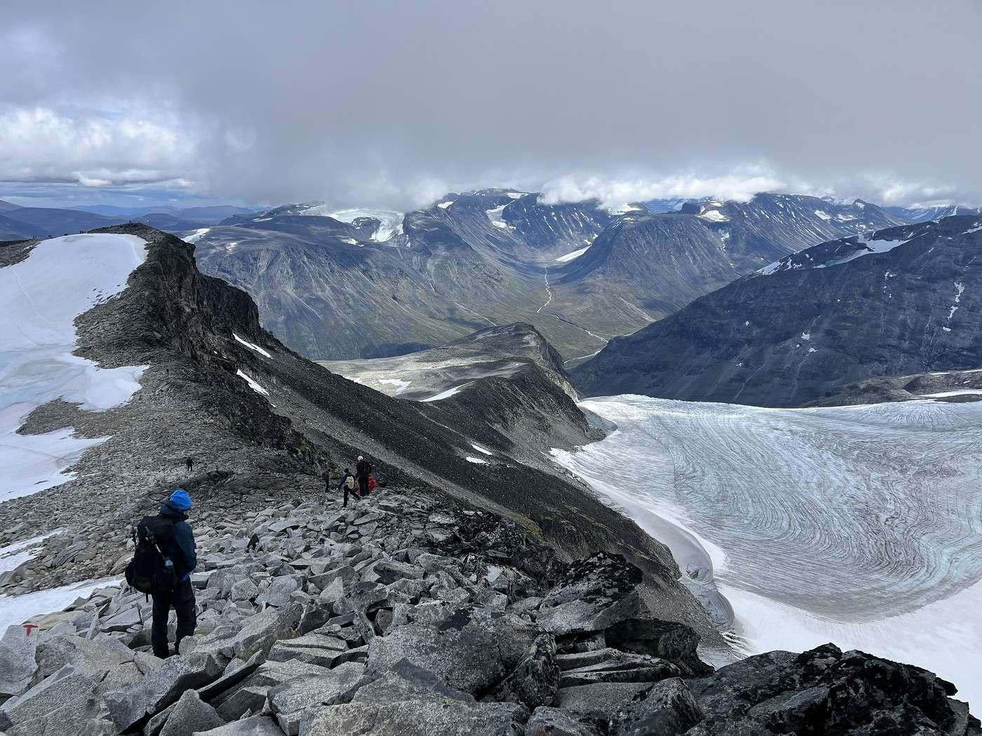
We still have 3.3 km to go before reaching the famous one, Bessengen Ridge. Famous because it separates Lake Gjende and Lake Bessvatnet, offering an exceptional view (though, of course, there are much more impressive photos taken in the sun...).


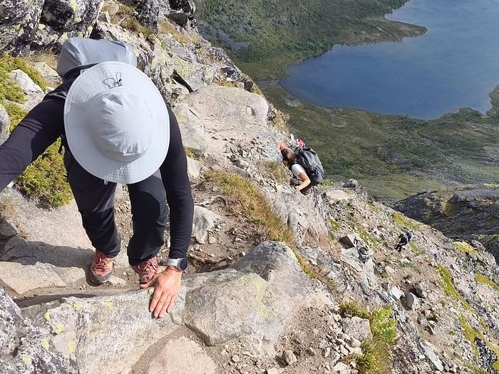
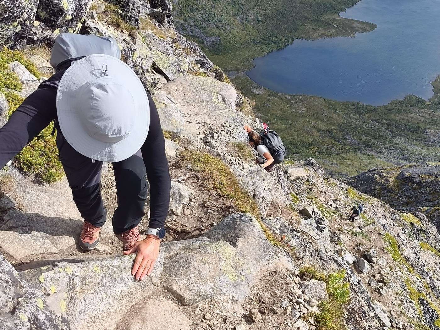
For us, the ridge was a climb. I struggled to gauge its difficulty beforehand. I read that it didn’t have any very technical sections. We take it easy, and sure enough, nothing too diabolical, but you do have to use your hands a fair bit and stick close to the rock face. From the top, the view is amazing, even under the overcast sky.


We only crossed paths with three people coming the other way, and we were glad we’d aimed for this early morning slot. With the crowds this ridge must attract, having to queue and wait to pass each other would be a real pain!

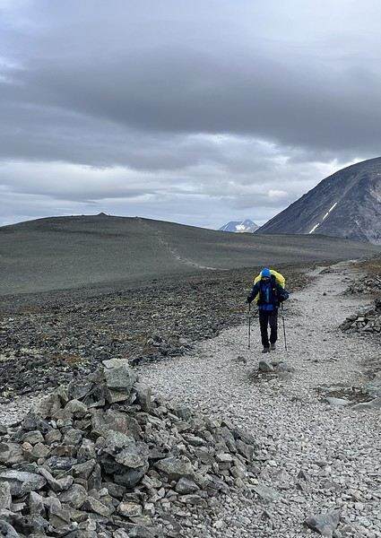
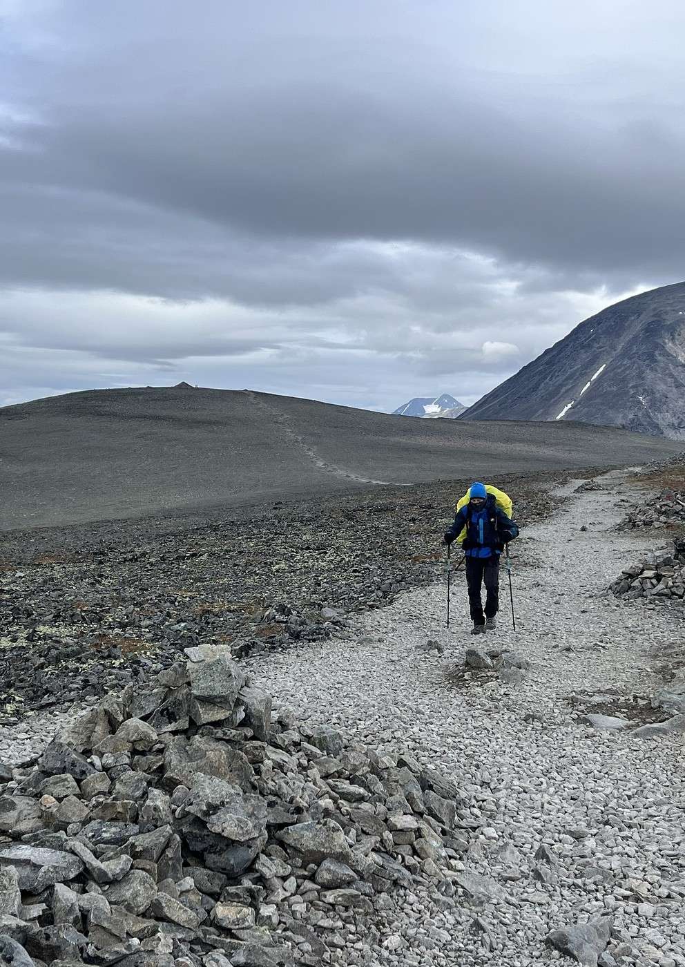
Next up is a vast desert of rocks (not flat at all!) until Vesljellet, where there’s a huge cairn. We had a bit of snow on this stretch.

We grab a quick bite on the go, then continue across the plateau, which feels endless. It’s windy, freezing cold, and yet that doesn’t seem to discourage the quite a few people heading up.


When we start the descent, we’re a bit more sheltered from the wind, and we can finally take a proper lunch break. The descent was a bit long, and we’re really glad we didn’t have to do it the other way around.


We stop for ice cream at the Gjendesheim hut, then cover the 2.4 km to Maurvangen campsite.

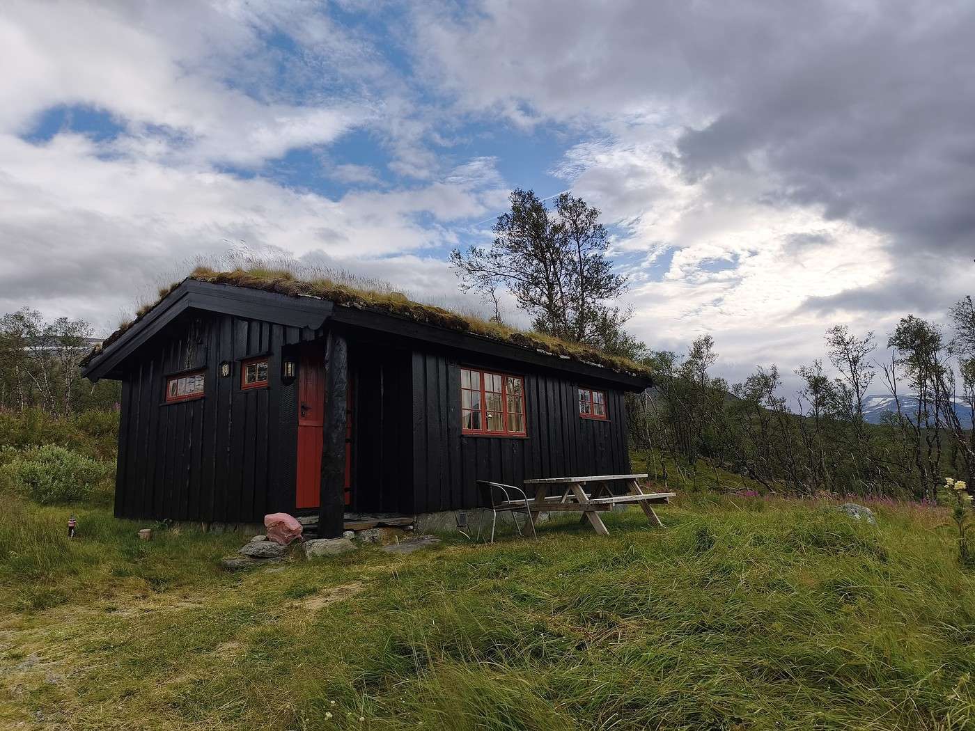
After paying for two nights of camping, we (well, I) changed our minds and rented a cabin instead. It was a pretty penny, but for Norway, not that bad (around 320 € for two nights). But what comfort and space when you rent a six-person cabin for two! :-)


We raid the campsite shop for food (it was pricey, but well-stocked).


End of the day in the cabin, with a fireplace—pure bliss!

Summary: 13.2 km – 600 m elevation gain – 5h45

Trekking in Norway: Jotunheimen and Dovrefjell, you’ll adapt to the rain...

Calisson94 · 2026-10-22 · Message 17 of 26

Aug 13 - Knutshoe ridge

Today was a day hike, so we kept it light—love that! We set off at 9 AM, covered 2 km of road pretty quickly, then started the approach to the ridge via Lake Nevre Leirungen.


From a distance, we spotted a pretty steep section, but I hadn’t read any comments about major difficulties on this ridge.

There’s a dedicated parking lot for this hike, so it was pretty busy. Before the climb, a sign warned about two very steep sections.

The first one is right at the start—no major issues, but it’s definitely steep, and you need to use your hands.

After that, we moved along the ridge with some ups and downs. Little by little, we discovered the twists of Lake Øvre Leirungen and the lake itself with its milky waters. That view was exactly why I’d wanted to keep some extra time for this ridge.


The final climb before the summit (Knutshoe)—the one that looked so steep from afar—well, it’s just as steep up close! Steeper than the first section, it requires a solid little scramble!


It was absolutely amazing—totally worth it, not just for Lake Leirungen but also for Lake Gjende with its turquoise waters.


The wind picked up, and the weather was closing in, so we took a quick lunch break and then descended at a fast pace to get as far as possible before the rain hit. Once we were down from the ridge, there was a path to the left that led back to the parking lot, but it wasn’t useful for us—it would’ve added way too many extra kilometers on the road to get back to the campsite.

So we went right and followed the coastal path back toward Gjendesheim. It was super pleasant, especially since the bad weather moved off, and there were tons of blueberries and Arctic blackberries.


The Bessengen ridge was right in front of us, and we could see loads of people. JM counted them with his camera zoom—at least 30 people in line!

We left the coastal path to climb above Lake Nevre Leirungen, which we’d walked along earlier (that one has a much more classic color). We followed its shores on the opposite side from this morning before retracing our 2 km of road and enjoying the comfort of our cabin.


Summary: 20.2 km – 1,072 m elevation gain / 7h25

Trek in Norway: Jotunheimen and Dovrefjell, you'll adapt to the rain...

Calisson94 · 2026-10-23 · Message 18 of 26

Fri 14/08 – Bus transfer to Spitertulen hut via Lom

Today, we’re heading to the Spitertulen hut, the starting point for Norway’s highest peak: Galdhøpiggen.

We’re taking local buses, which, for a very reasonable price (surprising for Norway), let you get around the region. They’re school buses used during the summer. So, they stop when classes resume, which this year is on 17/08.

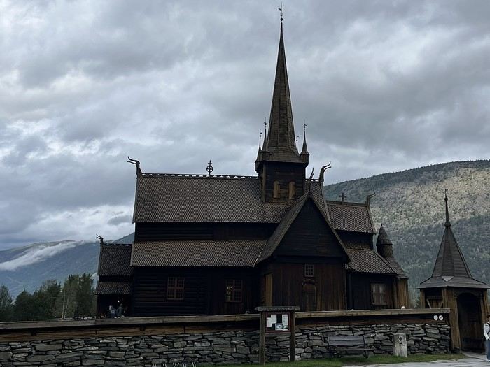
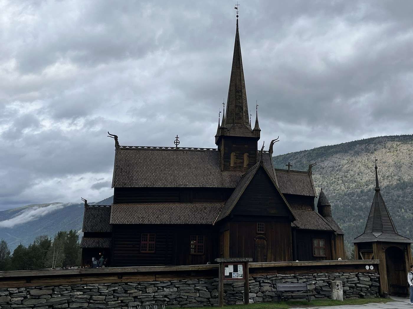
At 9:30 AM, we board bus 204 to Lom, where we have a 4-hour layover—a deliberate choice to visit the beautiful wooden church and stock up on supplies for the rest of the trip.


At 3 PM, bus 201 picks us up and drops us off at the Spiterstulen hut via a bumpy road.

The guy at reception wasn’t very friendly—he was much more cordial with the people ahead of us who had booked a room.

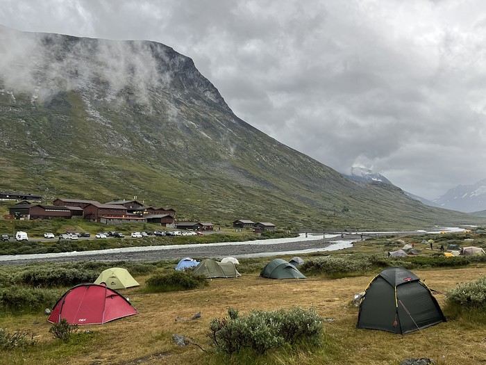
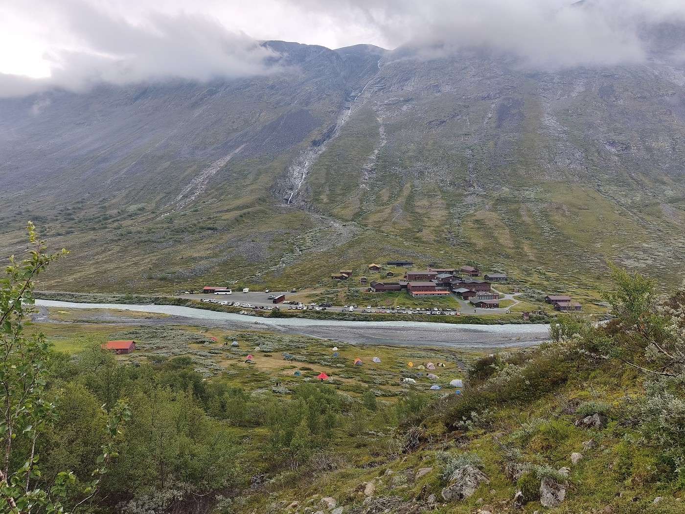
Here, campers are on the other side of the river. There’s a dining hall that’s pretty chilly and in a rough state (general condition and cleanliness). Of course, you have to pay to camp here.

There are quite a few tents but not much flat ground. It took us a while to decide where to set up.

For the restrooms, you have to go back to the other side, and the showers/sinks aren’t exactly spotless either... In short, I didn’t like it much. That said, the surroundings are pretty spectacular.


We check the different weather forecasts, which don’t agree: clouds, a bit of sun in the early afternoon, fog?

Well, we’ll see tomorrow—we came all this way, so we’re going up!

Hiking in Norway: Jotunheimen and Dovrefjell, you’ll adapt to the rain...

Calisson94 · 2026-10-23 · Message 19 of 26

Sat 15/08 – Galdhøppigen

We left at 8:50 AM. The most optimistic weather forecast predicted a break in the early afternoon, so we didn’t rush to get going.

The climb is long but manageable because it’s gradual. First, there’s a trail (about 500 m of elevation gain) just above the campsite,

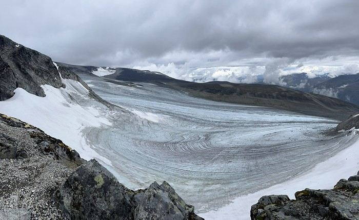
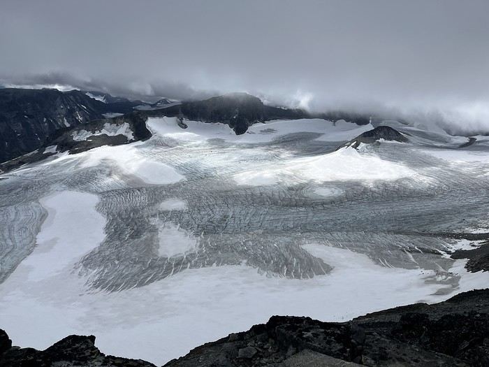
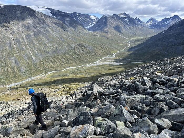
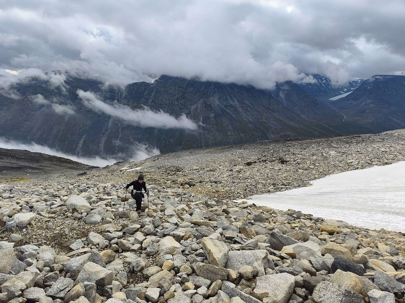
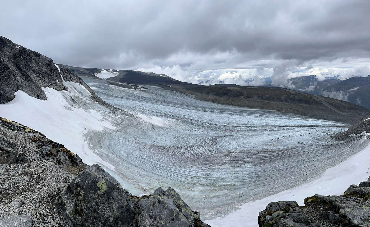
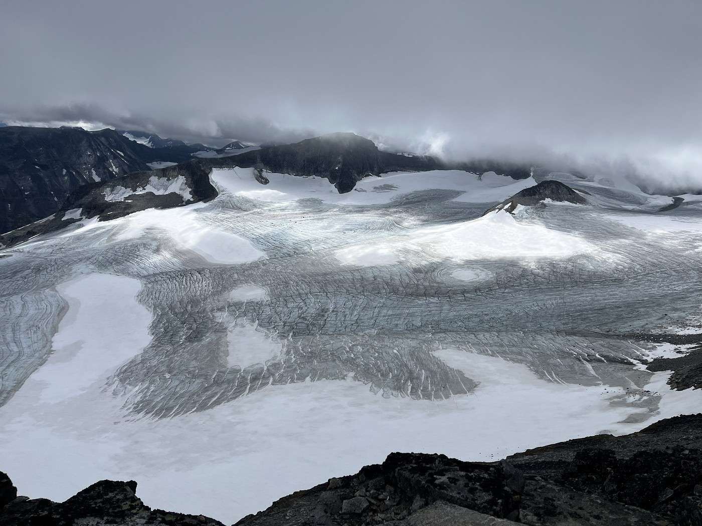
After that, it’s just scree—some sections bigger and trickier than others. The views of the surrounding glaciers are stunning.


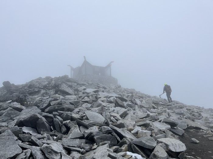
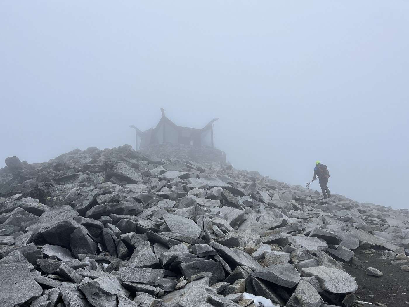
There are two false summits before you reach the top (good to know—it keeps you from thinking you’re almost there when you’re not!). The second-to-last one, a bit steeper, really wore me out. From there, we were in the fog (crying smiley!) all the way to the summit. Just before the summit, there’s a refuge/hut


We managed to squeeze in there for a picnic, then went back outside to wait for breaks in the clouds, which were only brief and partial.

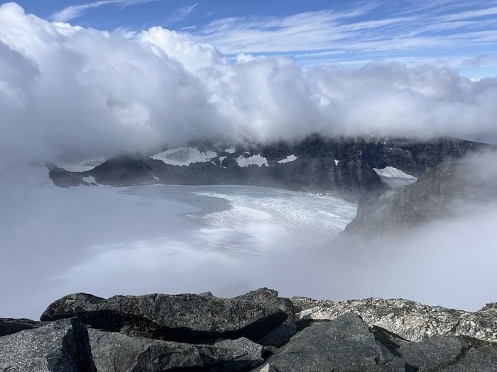
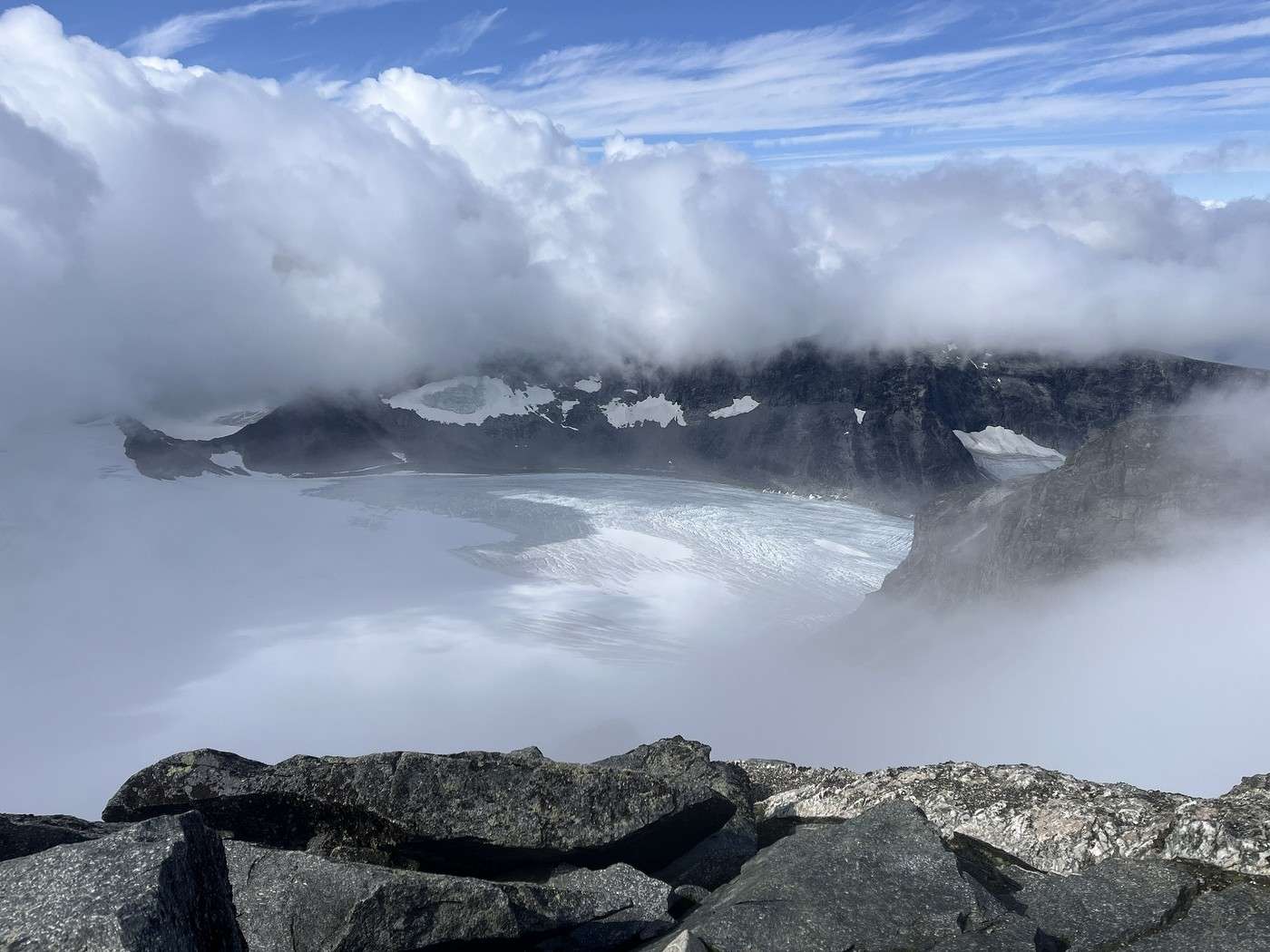
But what a sight!!


There’s a huge crowd—everyone’s watching and waiting for a bit of visibility.

After a long while, we had to start descending; the full clearing just wasn’t happening today.

The way down felt *so* long—it must’ve been, since we took as much time as the climb up!! We finally got some sun and the beautiful views back


Dinner in the campers’ room (still as gloomy but warmer than outside), then a well-earned sleep.

Summary: 12.7 km / 1,485 m elevation gain / 7h20

Trek in Norway: Jotunheimen and Dovrefjell, you'll adapt to the rain...

Orionide · 2026-10-26 · Message 20 of 26

Hi Laure,

You really did escape, if only for a few days, the heatwave this summer 😉 In the end, the long-awaited sunny spells—though mostly partial and fleeting—look great in your photos. And it’s always a little joy to see them appear. On the trails, was it mostly international hikers or did you mainly meet Norwegians?

VoyageForum — the largest community of French-speaking travellers.