Our family trip from Denver to Yellowstone – a recap
Hi there,
I’m diving into a recap of our loop—pretty classic, really—Denver-Yellowstone-Denver this past summer, from July 24 to August 17. Given the sheer number of trip reports already out there (or in the works), and since I don’t have the writing chops or the photography skills of many of you, I’ll keep it practical—well, I’ll try, at least—to share our take on some of the less-visited parks and spots.
First off, a huge thank you to everyone whose trip reports, blogs, websites, comments, and more helped us put together this itinerary. Looking back, it could’ve been even better optimized: a few disappointments when we missed out on some great discoveries, often because we were short on time. Plenty of reasons to come back to the area!
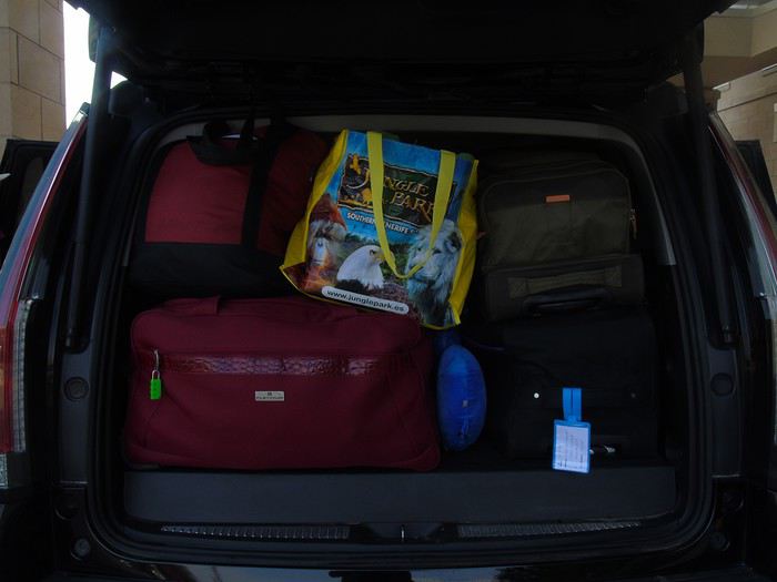
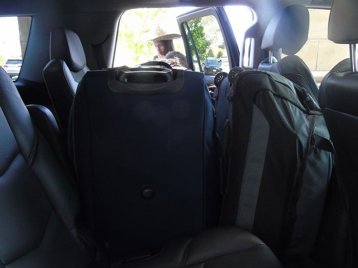
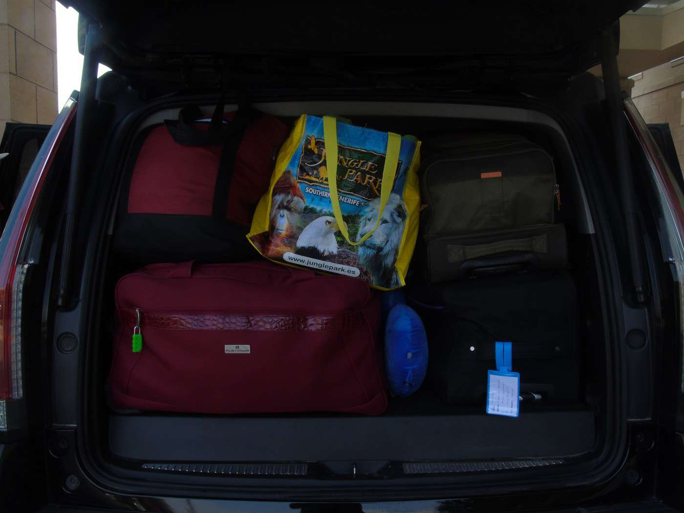
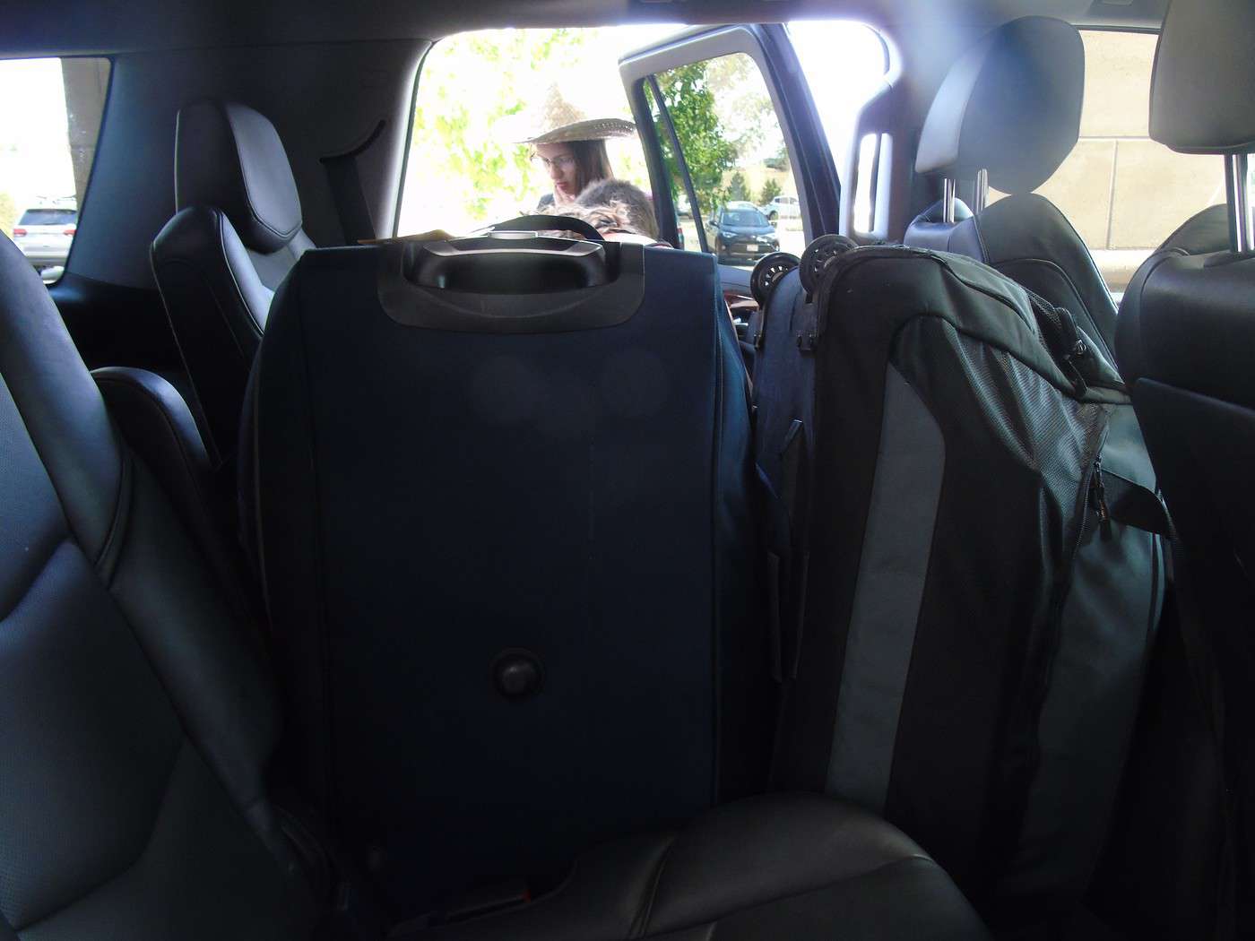
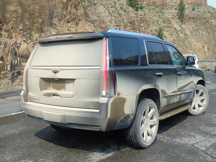
We’re traveling with our four (almost) teens—18, 16, 14, and nearly 12 years old. To keep the trip enjoyable for everyone, we had to make compromises on both sides: cutting a visit short to spend more time swimming, waking up at dawn, and so on. But logistics also played a big role—things like laundry, grocery shopping, and keeping luggage organized could’ve quickly become time-consuming without a little planning. And honestly, I think we visited every Walmart along the way! Blame it on the lack of fridges in some accommodations and, more importantly, the *very* limited space in the car, which made it impossible to bring a proper cooler. I’ll come back to the car saga later.
For accommodations, this year we alternated between basic cabins in KOA campgrounds and Yellowstone (when staying more than one night in the same place) and hotels. Always with a pool (except in Yellowstone, of course), which let the kids burn off energy—because they always have reserves, even after packed days!—and, let’s be honest, gave us a chance to relax. No Wi-Fi issues either; we all had plans with 25 GB of data (a big thanks to Gilles for the amazing deal at 0.99 €). It worked perfectly, even for texts and calls between phones—no extra charges.
Now, onto our route: as I mentioned, a classic Denver-Yellowstone-Denver loop. To avoid rushing through the parks or spending all our time on the road, we prioritized staying as close to them as possible, with at least two nights in each place. And I’ve got to say, it’s really nice to settle in, even if it’s just for two nights. It also helped us deal with the weather, which wasn’t always great during this trip. The trade-off? With vacation time being limited, some driving days ended up being long. We knew that going in, but since we kept a relaxed pace with no time constraints (don’t ask me for timings—I don’t keep track of the clock on vacation, except in the morning to get everyone up before noon!), we sometimes ended up with marathon days.
With that said, I’ll dive into the trip itself in the next post.
I’m diving into a recap of our loop—pretty classic, really—Denver-Yellowstone-Denver this past summer, from July 24 to August 17. Given the sheer number of trip reports already out there (or in the works), and since I don’t have the writing chops or the photography skills of many of you, I’ll keep it practical—well, I’ll try, at least—to share our take on some of the less-visited parks and spots.
First off, a huge thank you to everyone whose trip reports, blogs, websites, comments, and more helped us put together this itinerary. Looking back, it could’ve been even better optimized: a few disappointments when we missed out on some great discoveries, often because we were short on time. Plenty of reasons to come back to the area!
We’re traveling with our four (almost) teens—18, 16, 14, and nearly 12 years old. To keep the trip enjoyable for everyone, we had to make compromises on both sides: cutting a visit short to spend more time swimming, waking up at dawn, and so on. But logistics also played a big role—things like laundry, grocery shopping, and keeping luggage organized could’ve quickly become time-consuming without a little planning. And honestly, I think we visited every Walmart along the way! Blame it on the lack of fridges in some accommodations and, more importantly, the *very* limited space in the car, which made it impossible to bring a proper cooler. I’ll come back to the car saga later.
For accommodations, this year we alternated between basic cabins in KOA campgrounds and Yellowstone (when staying more than one night in the same place) and hotels. Always with a pool (except in Yellowstone, of course), which let the kids burn off energy—because they always have reserves, even after packed days!—and, let’s be honest, gave us a chance to relax. No Wi-Fi issues either; we all had plans with 25 GB of data (a big thanks to Gilles for the amazing deal at 0.99 €). It worked perfectly, even for texts and calls between phones—no extra charges.
Now, onto our route: as I mentioned, a classic Denver-Yellowstone-Denver loop. To avoid rushing through the parks or spending all our time on the road, we prioritized staying as close to them as possible, with at least two nights in each place. And I’ve got to say, it’s really nice to settle in, even if it’s just for two nights. It also helped us deal with the weather, which wasn’t always great during this trip. The trade-off? With vacation time being limited, some driving days ended up being long. We knew that going in, but since we kept a relaxed pace with no time constraints (don’t ask me for timings—I don’t keep track of the clock on vacation, except in the morning to get everyone up before noon!), we sometimes ended up with marathon days.
With that said, I’ll dive into the trip itself in the next post.
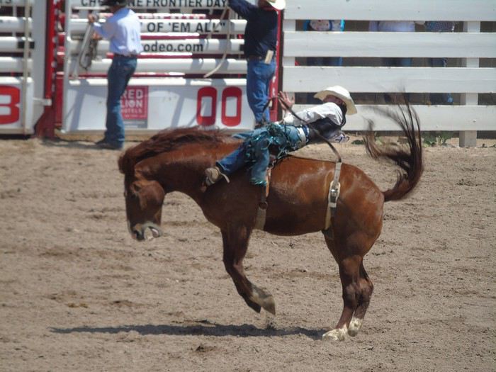
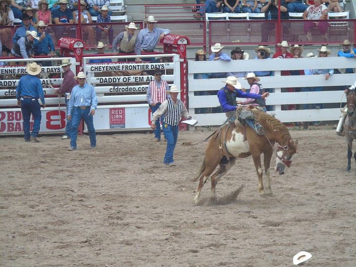
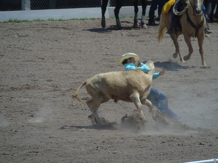
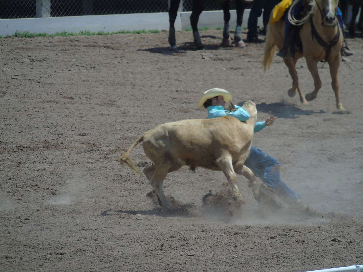
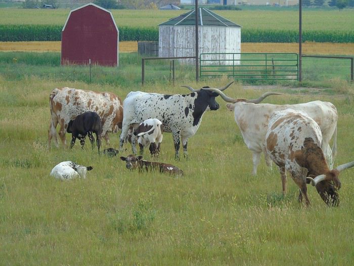
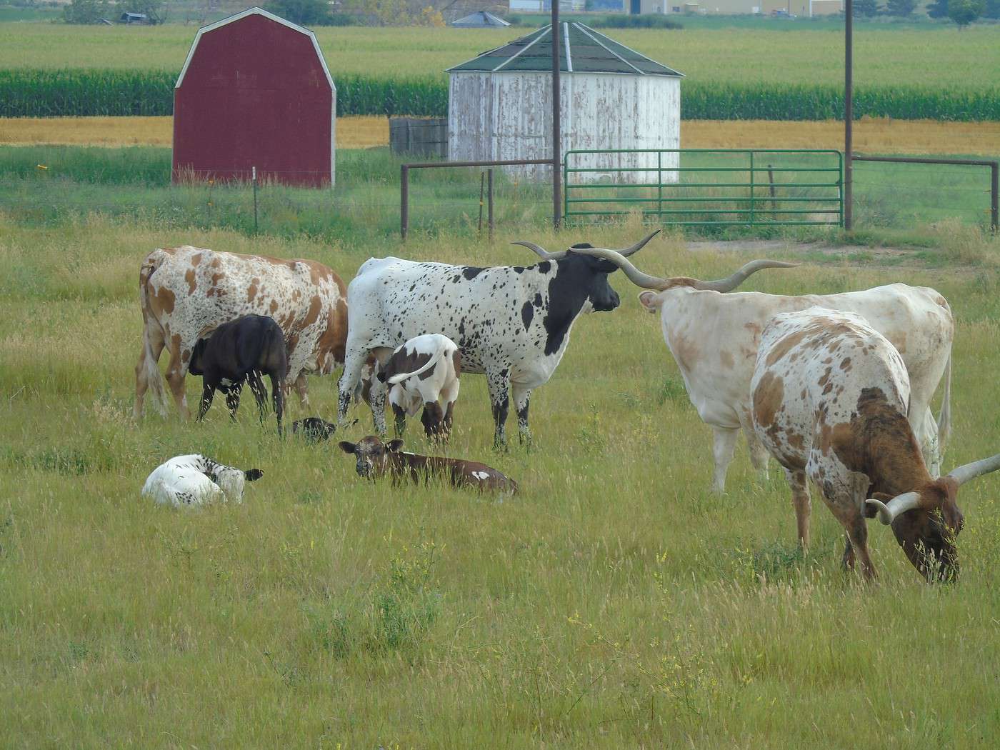
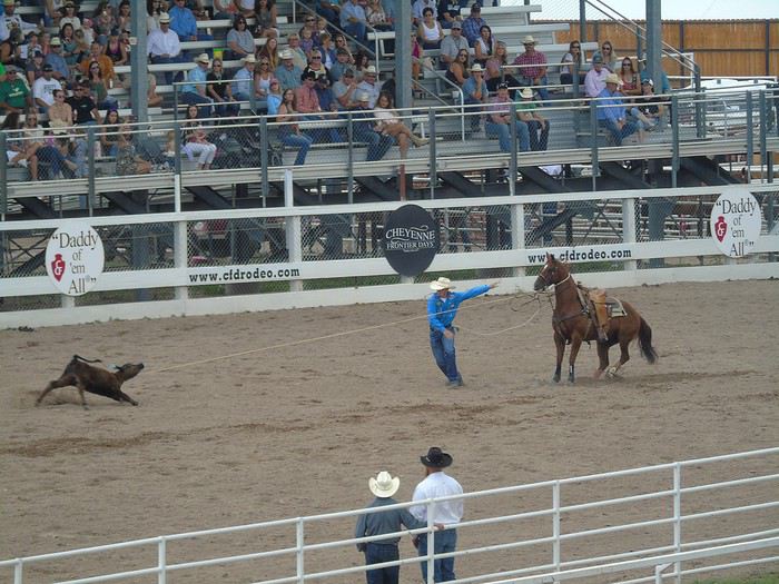 Poor calf stopped abruptly in full sprint...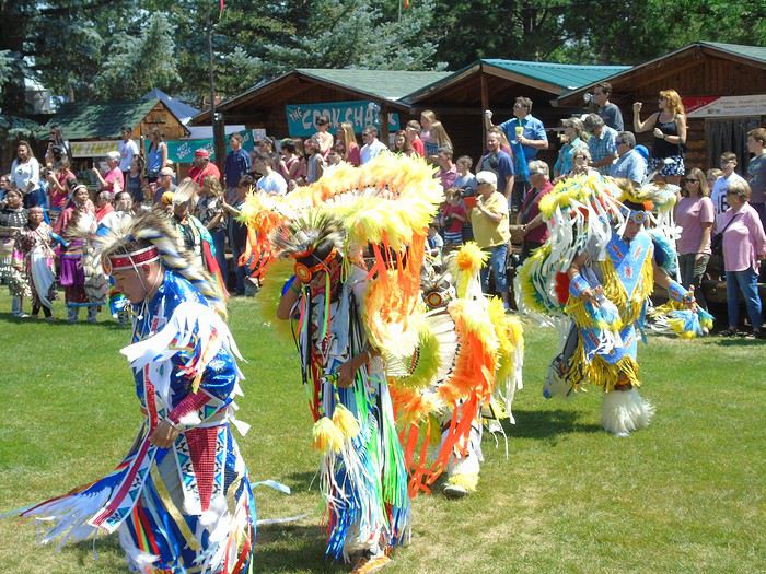
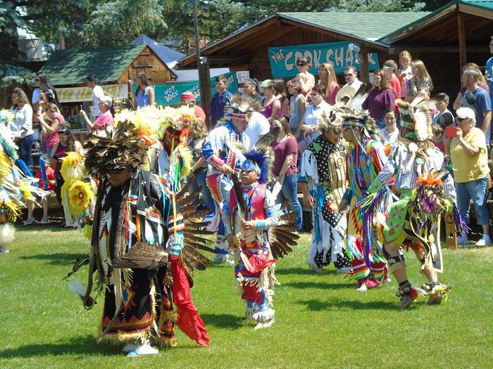
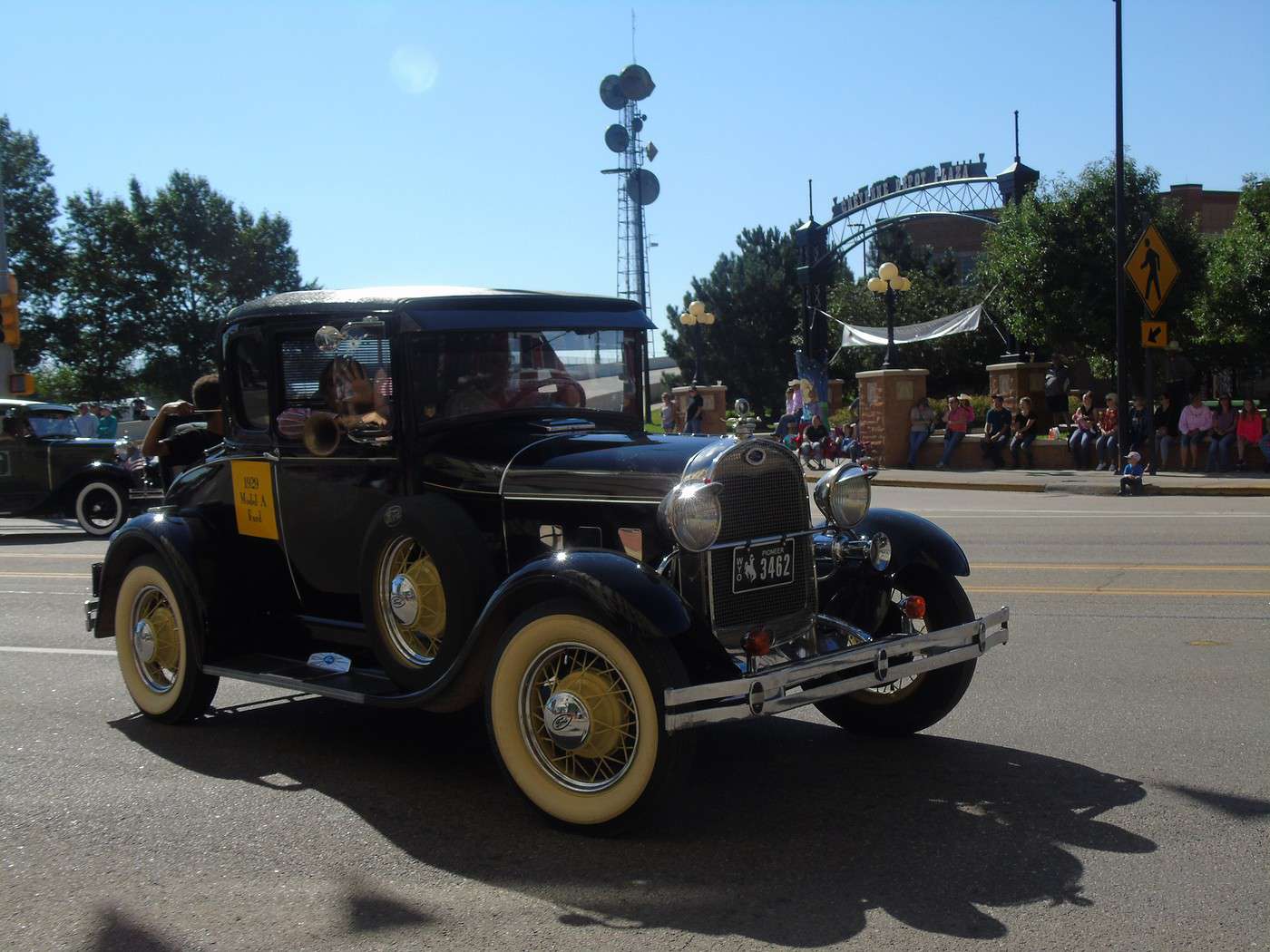
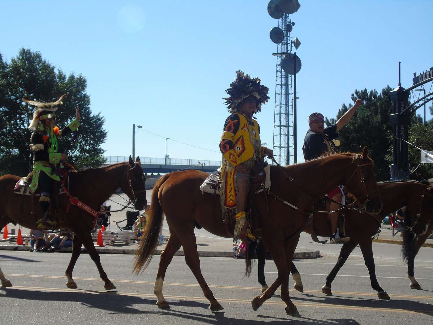
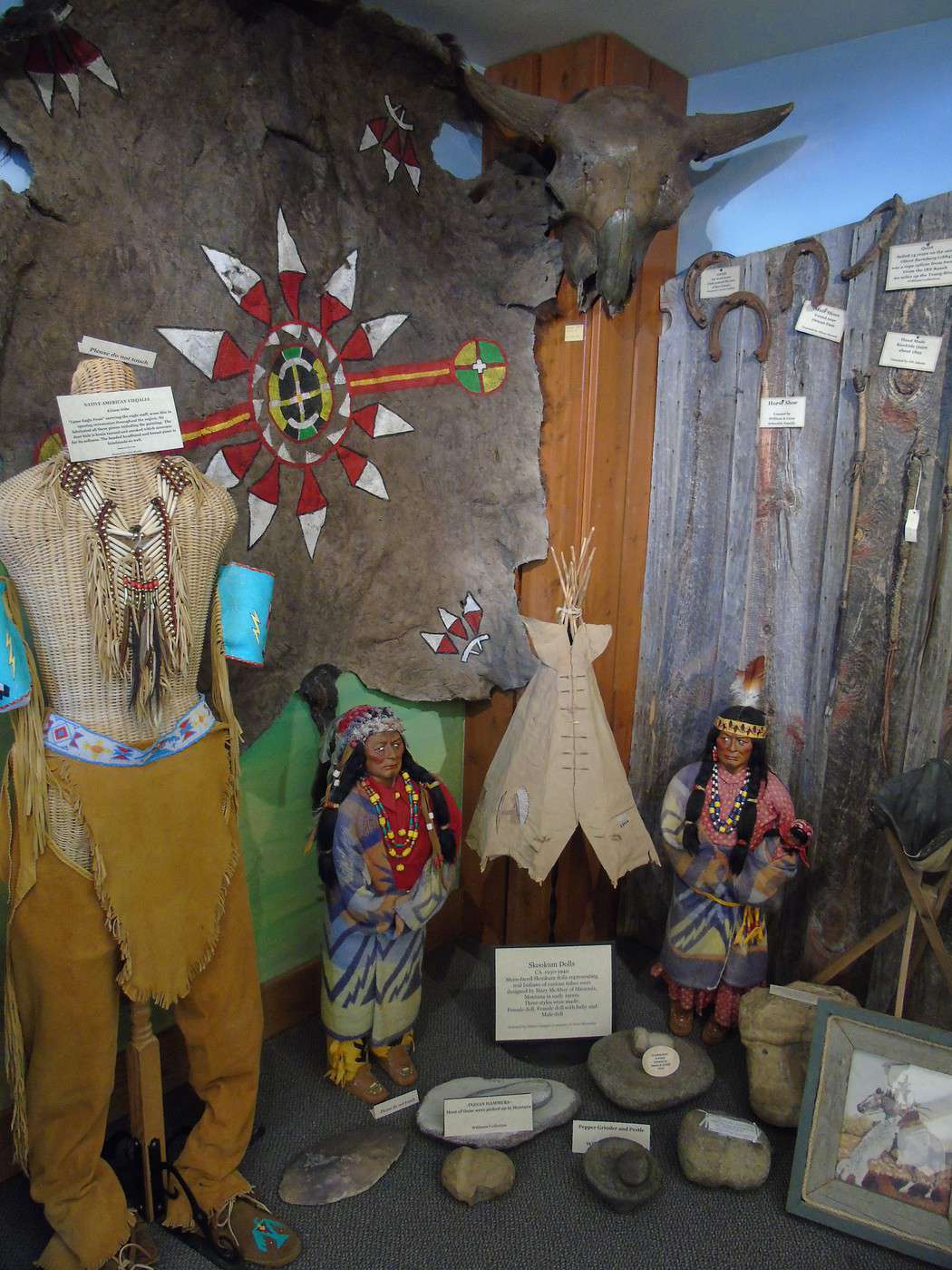
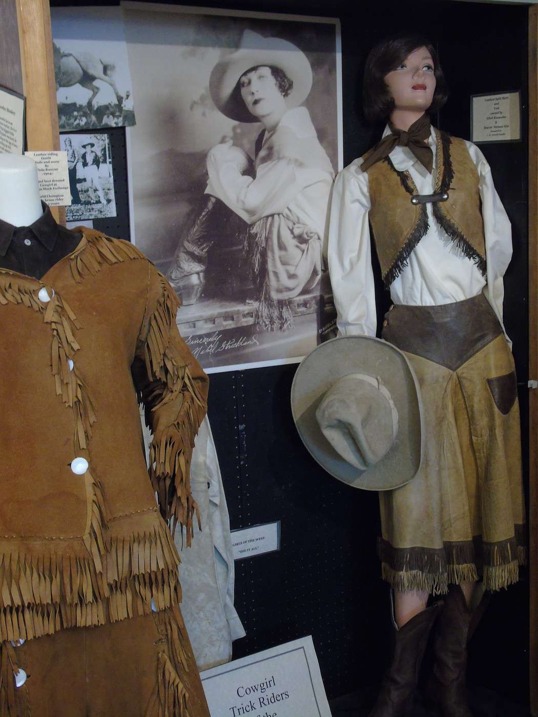
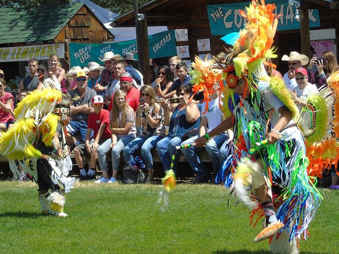 We had a really enjoyable day in a great atmosphere. It’s a wonderful dive into the world of Native Americans and cowboys—definitely worth it if you’re in the area.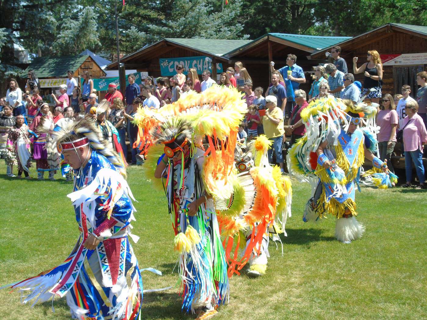
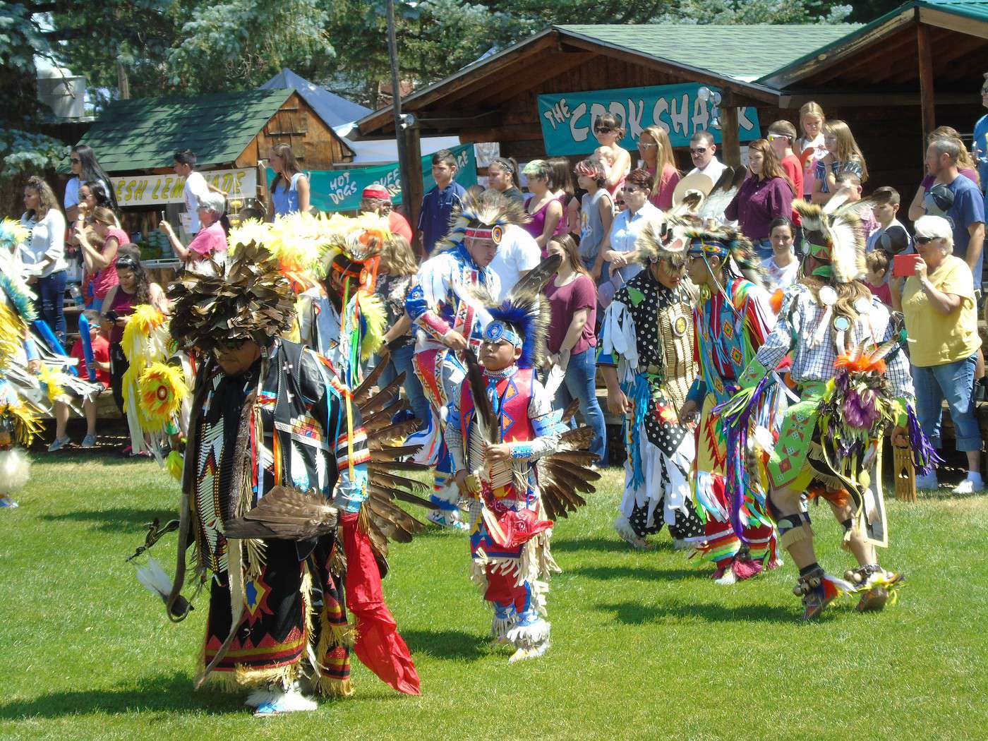
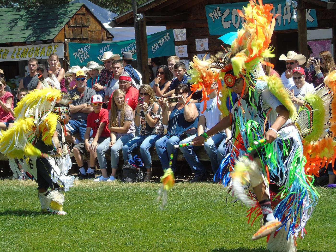
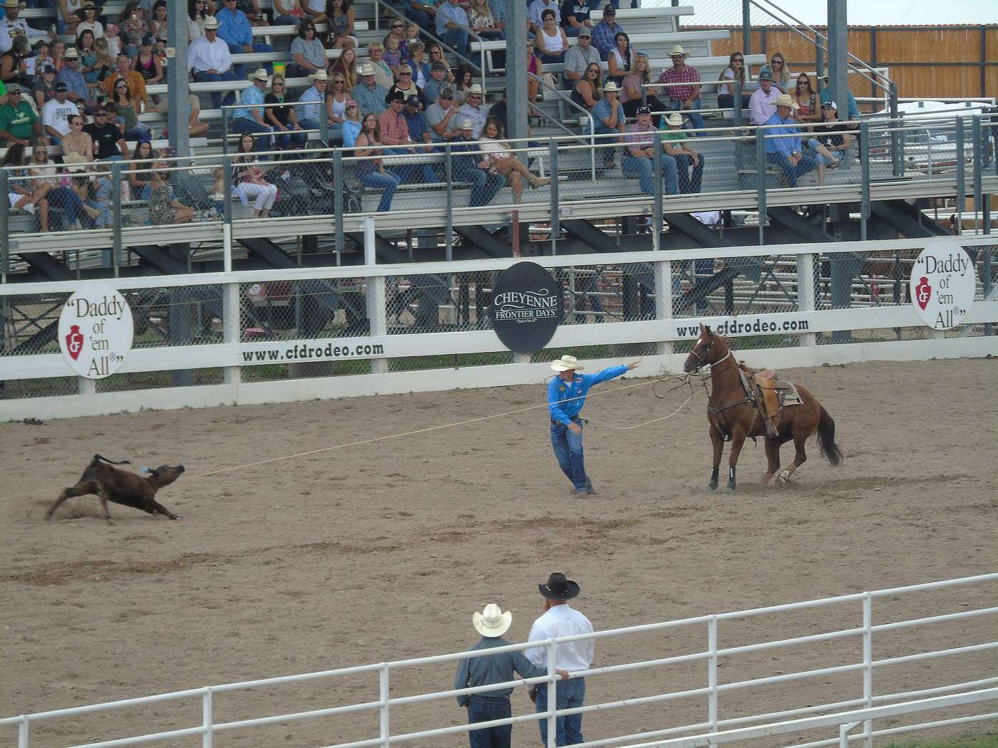
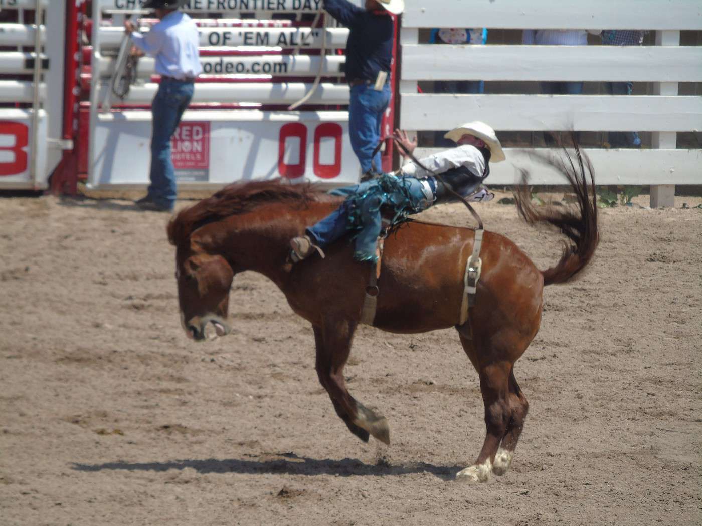
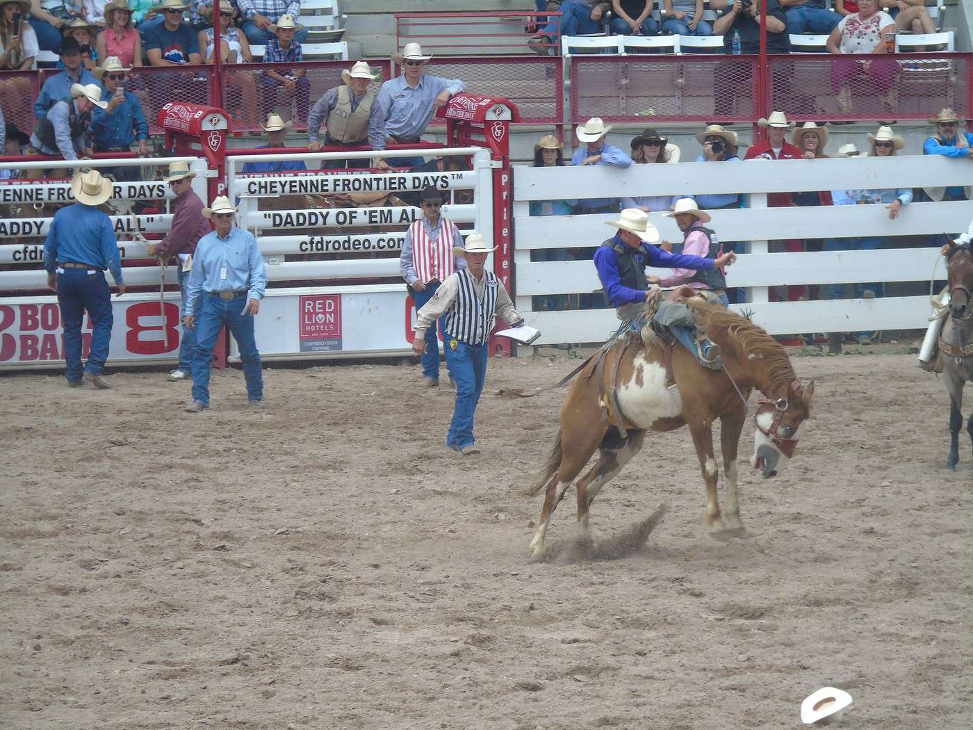
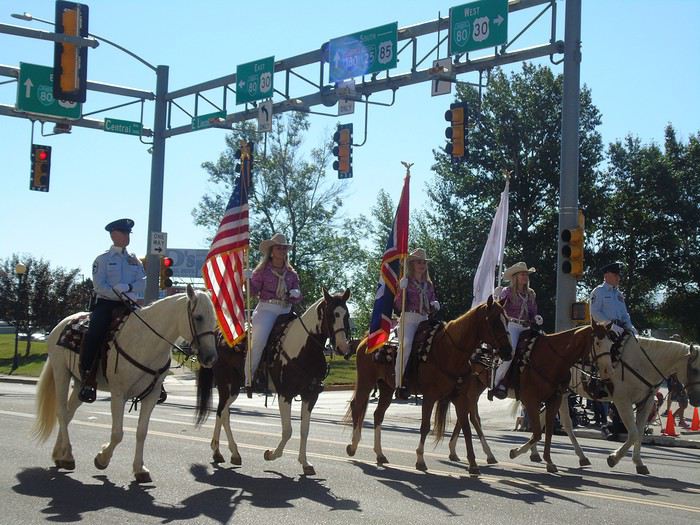
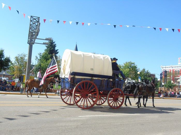
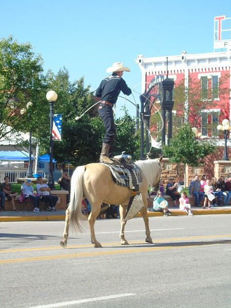
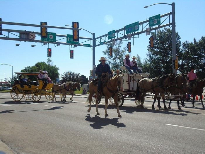
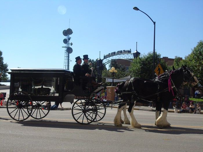
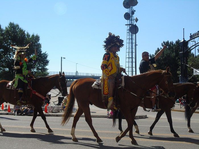
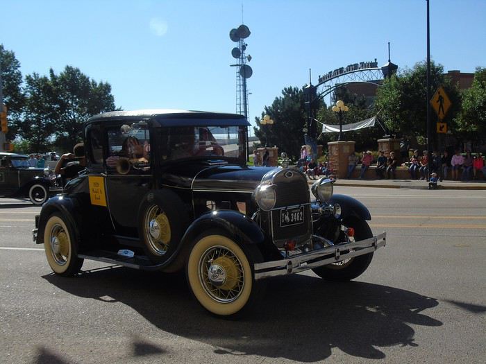
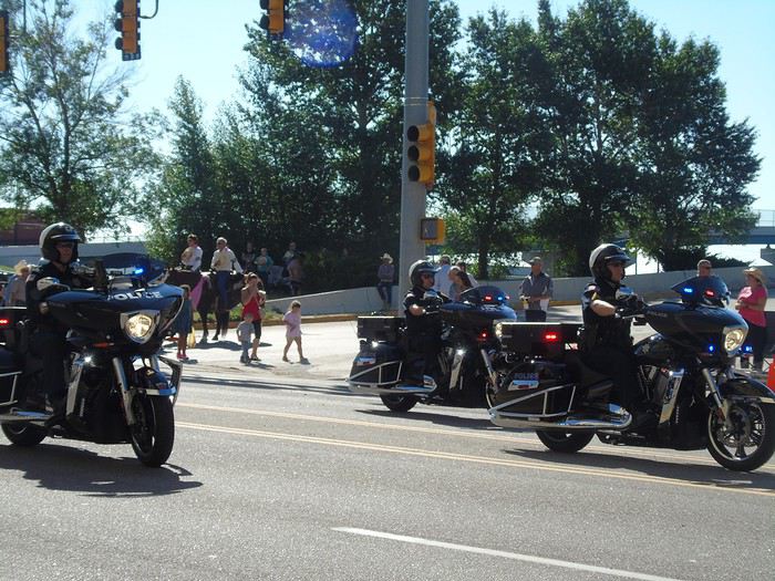
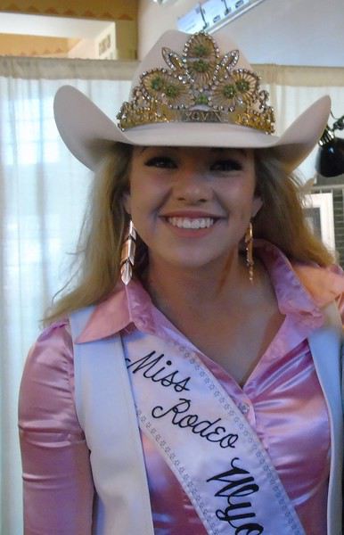
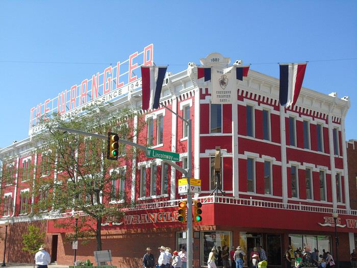
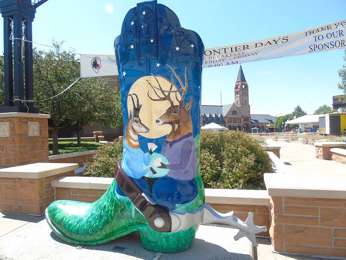
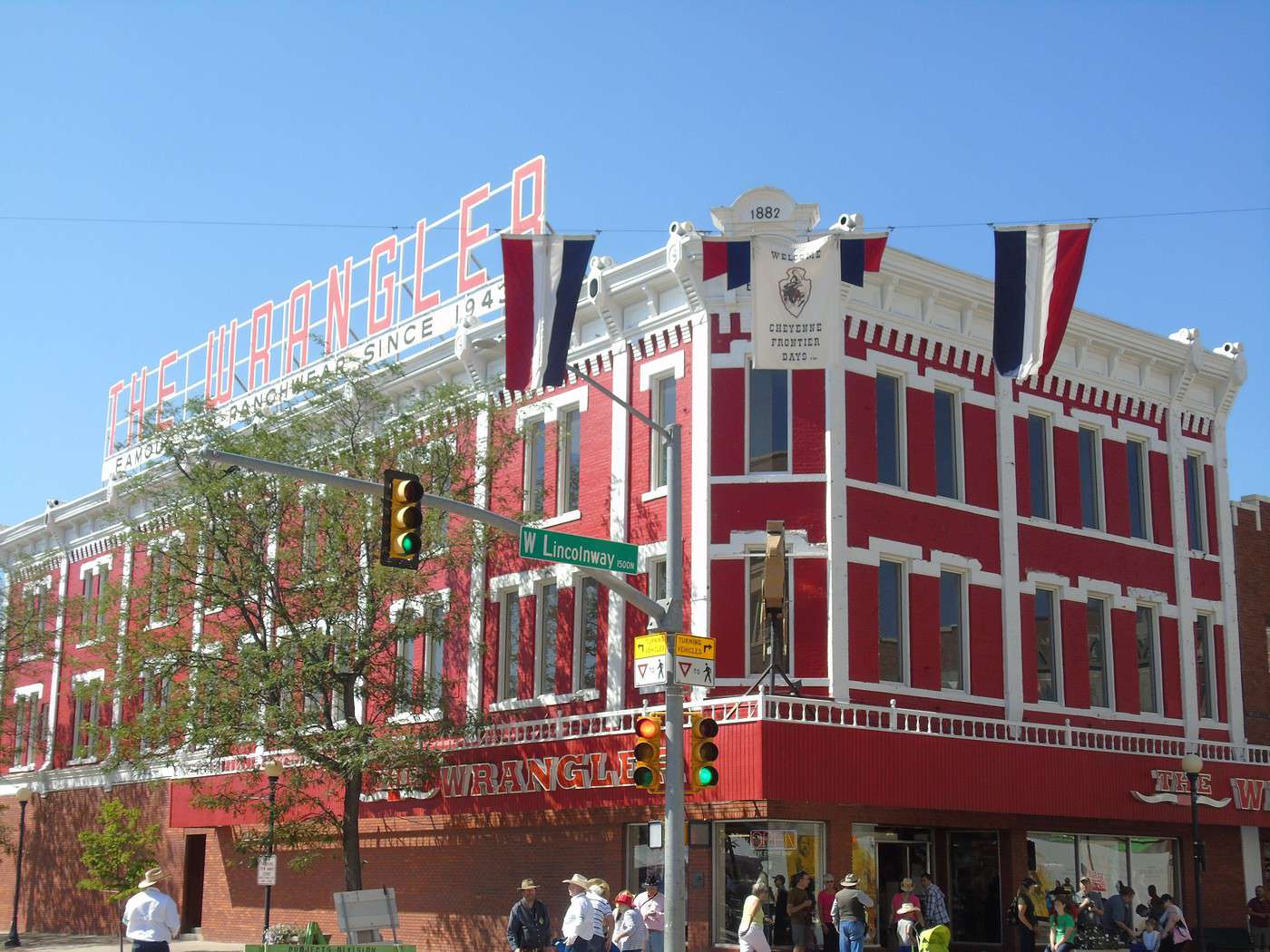
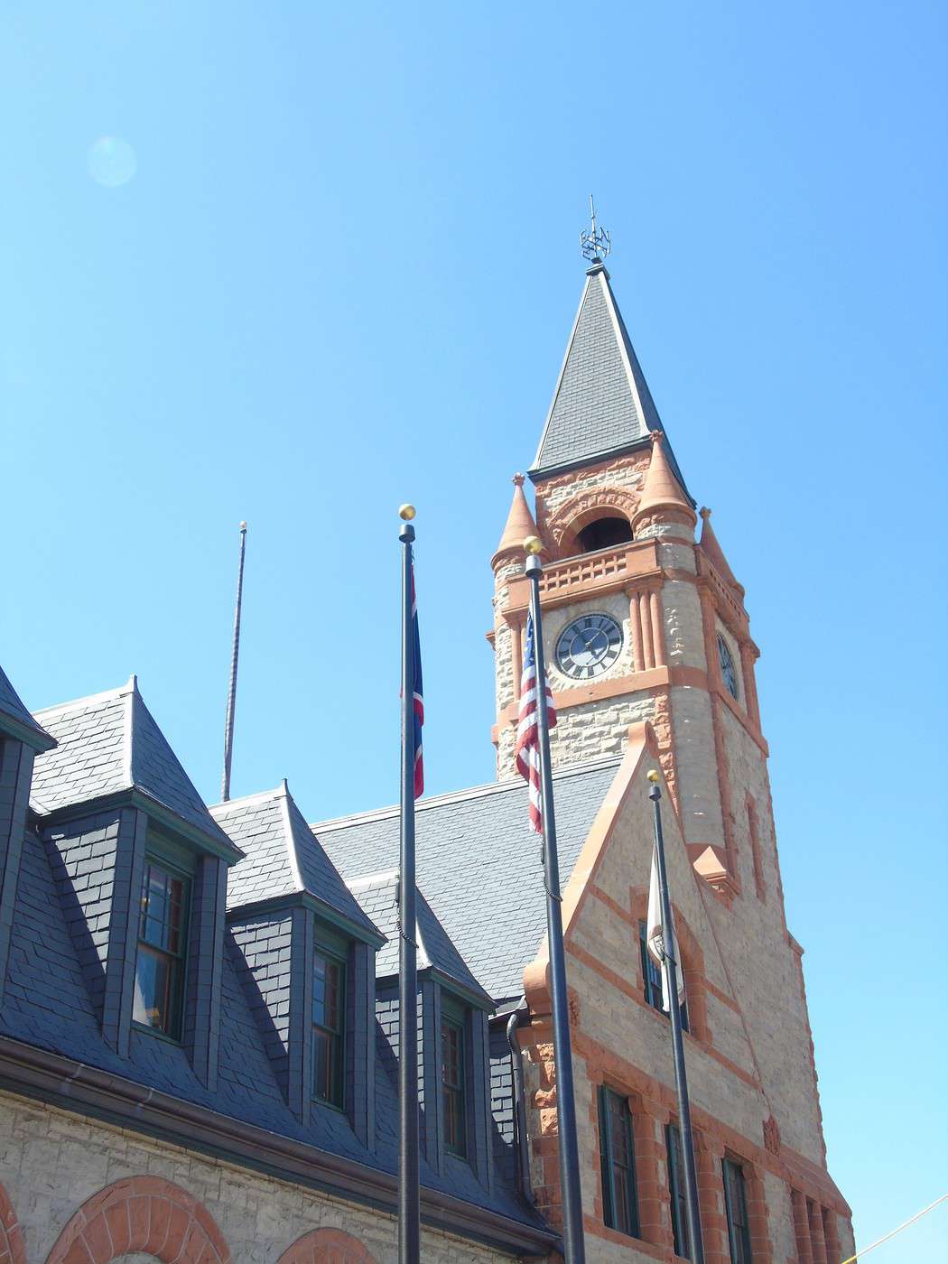
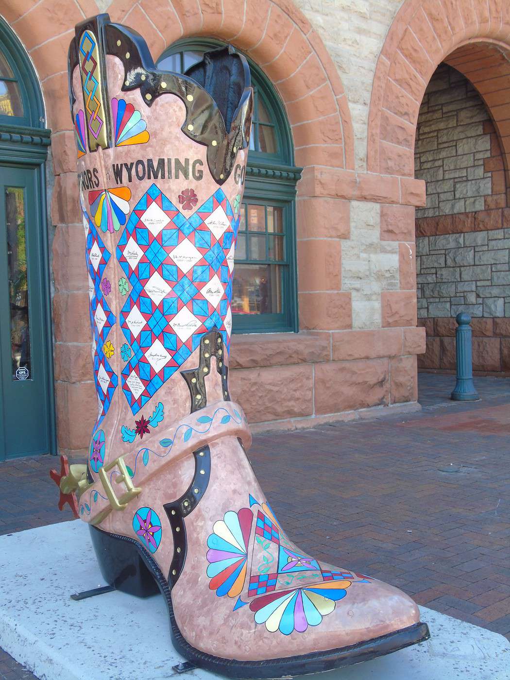
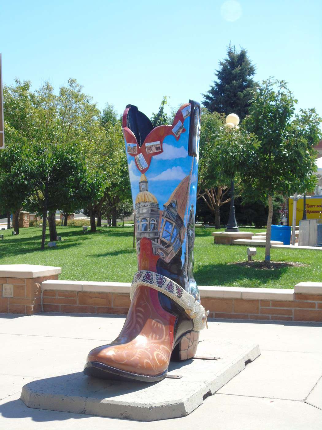
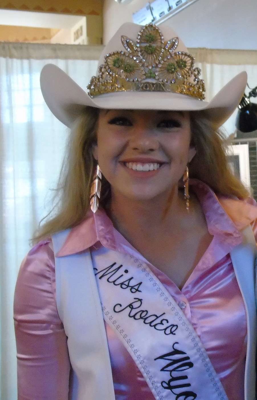
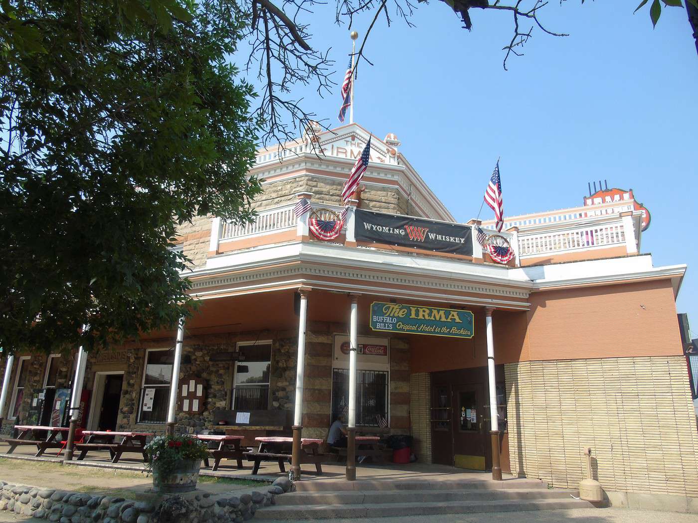
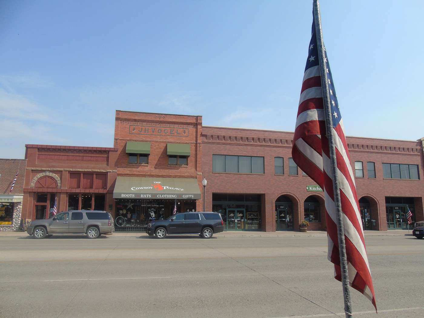
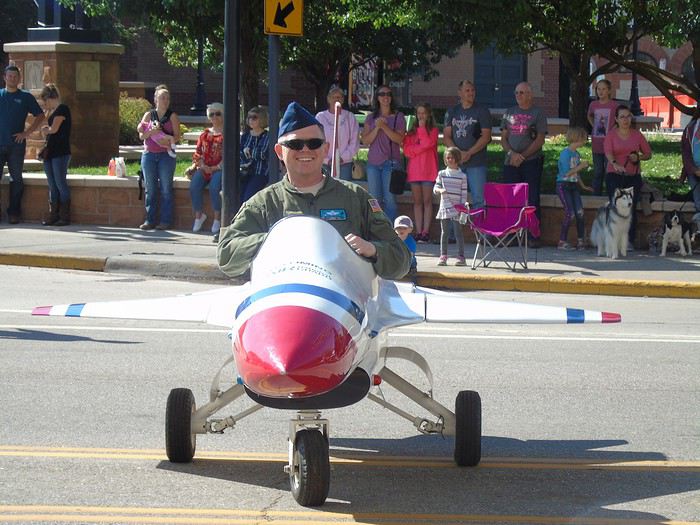 After a quick tour of the town and a stop at "The Wrangler," the cowboy mecca, we chat with Morgan, Miss Rodeo 2018, who autographs her photo for us.
 Despite our detailed road book, we forgot to go see Big Boy, the largest steam locomotive. Was my husband distracted 😉?
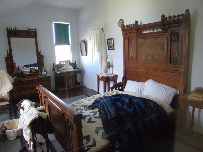
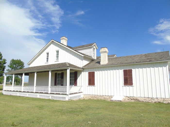
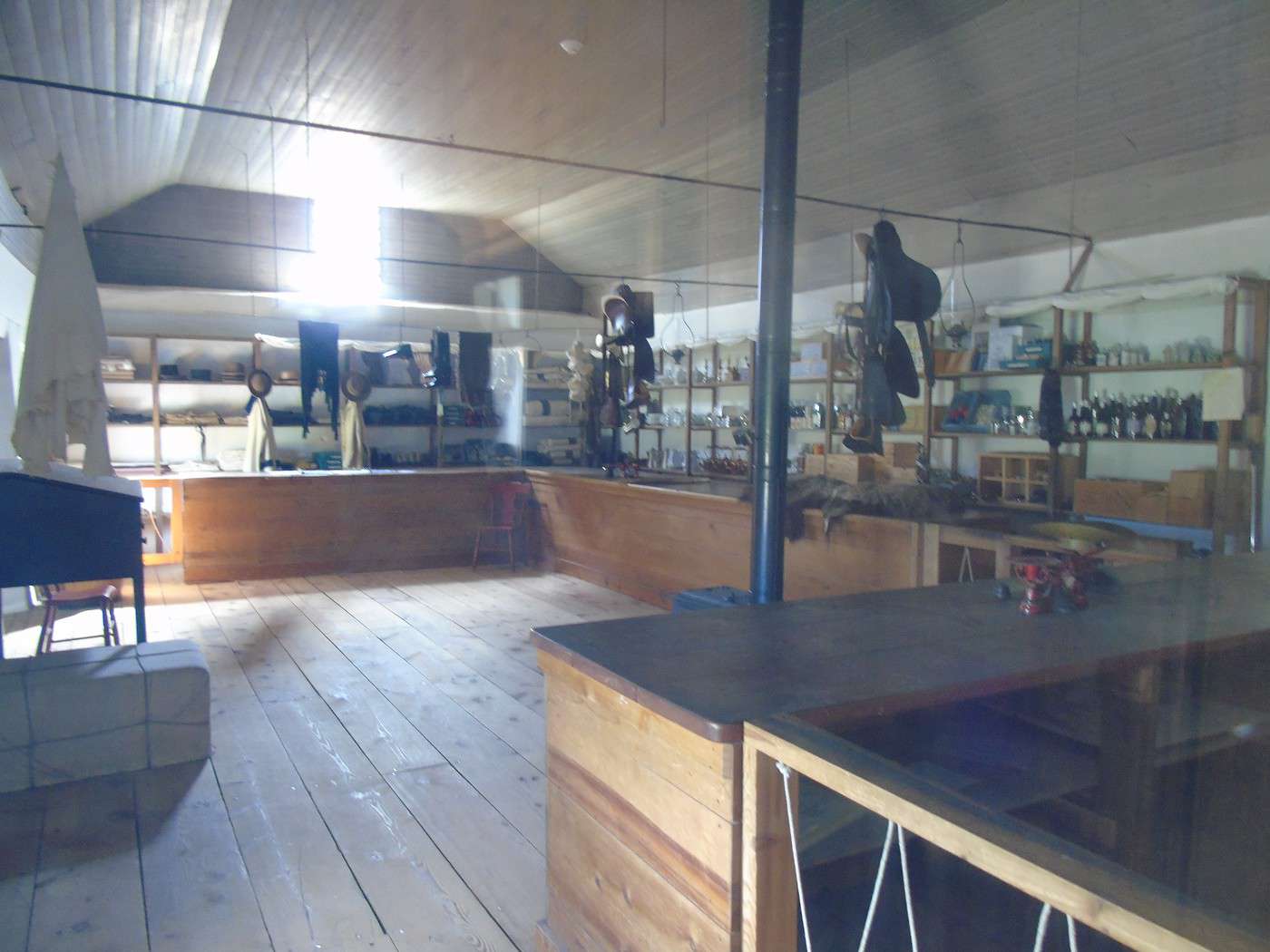
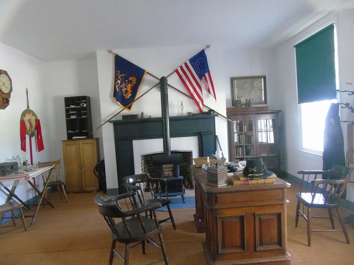 The store: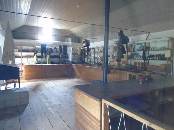
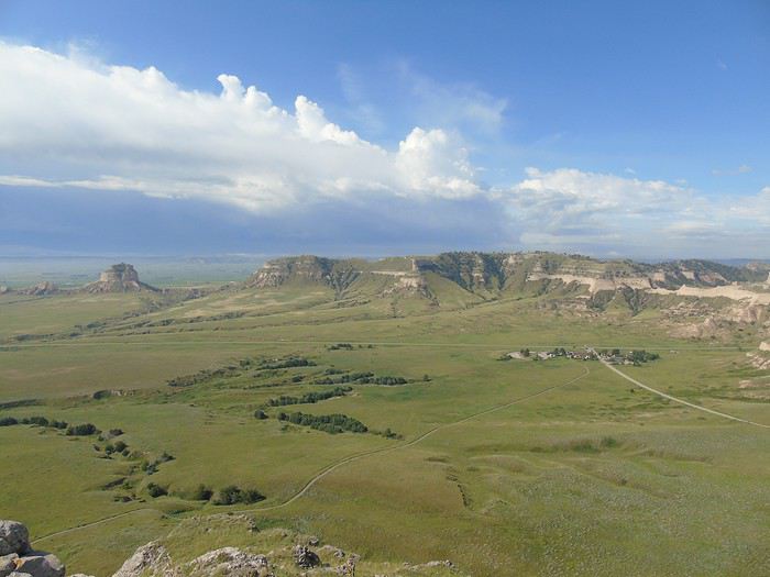
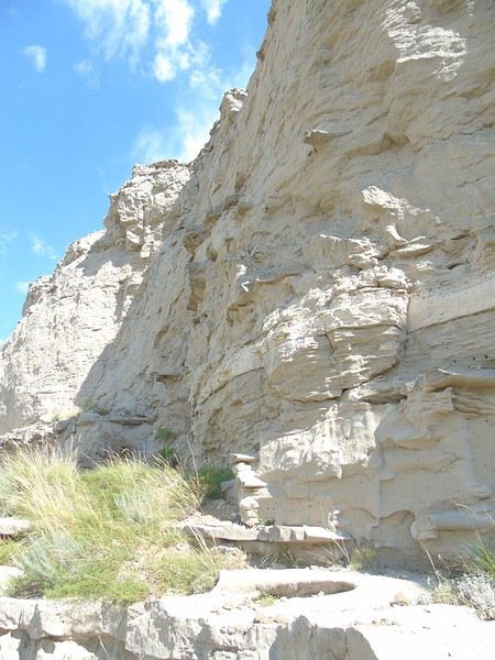
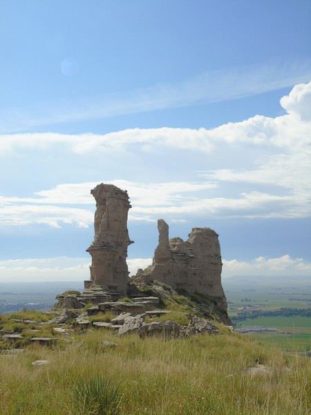
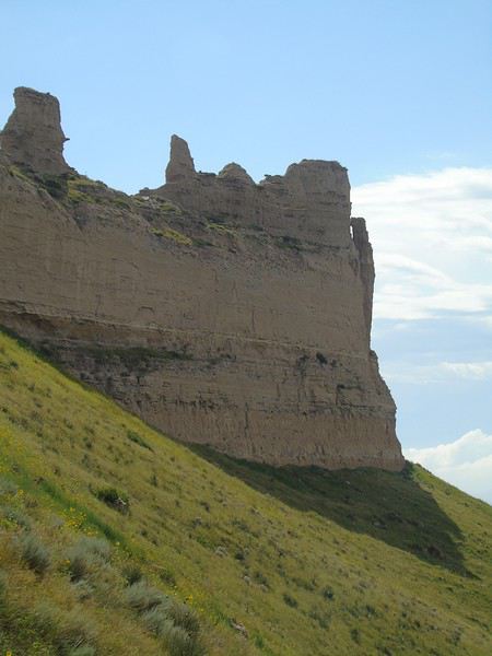
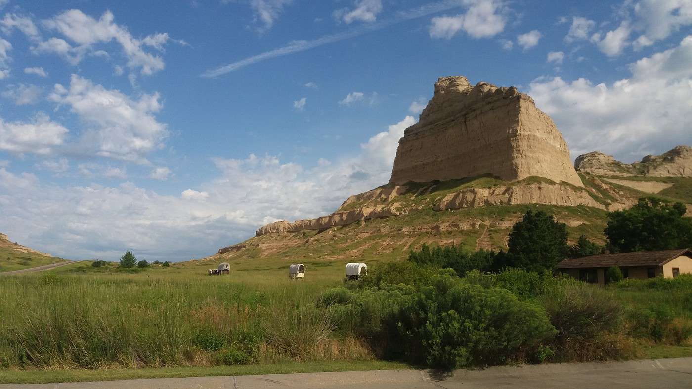
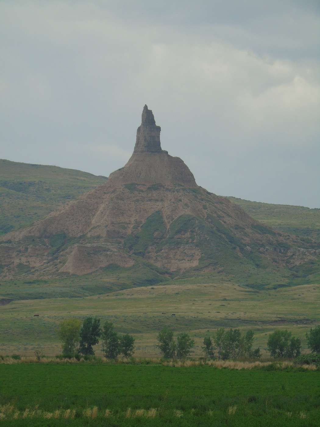
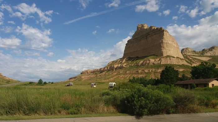 It’s a sandstone and clay formation that stands out in the surrounding plains. It was a landmark for pioneers on the Oregon Trail. Here, they had already covered a third of the journey.
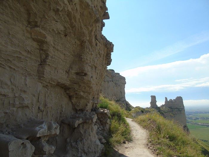
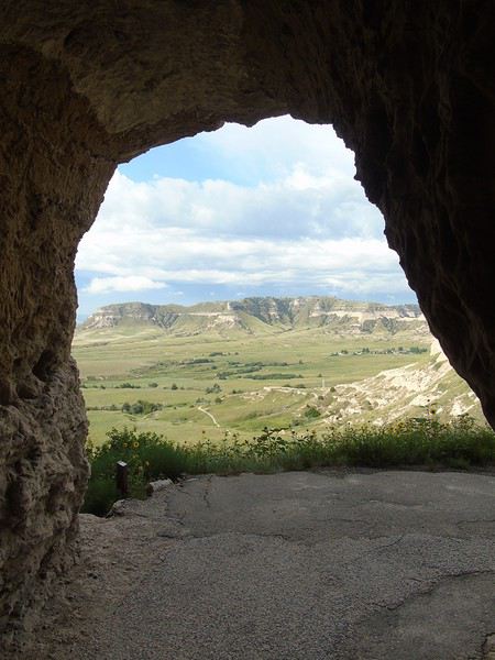
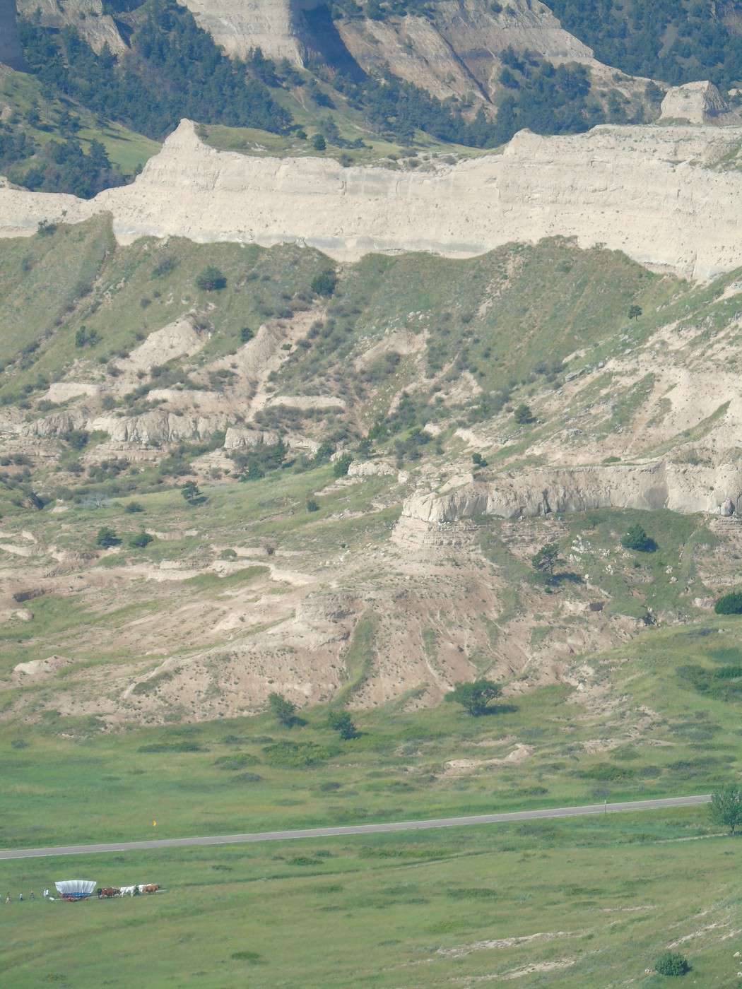
After doing the two short trails (South and North Overlook), I hiked back down with the kids via the Saddle Rock Trail (1.6 miles), while my husband drove down. To avoid splitting up, you can take a shuttle that leaves from the VC and drops you off at the top of the hill. The first part offers some lovely viewpoints. After passing through the tunnel and following the cliffside, the path crosses the plain, which gets a bit monotonous. A very easy hike, all downhill.
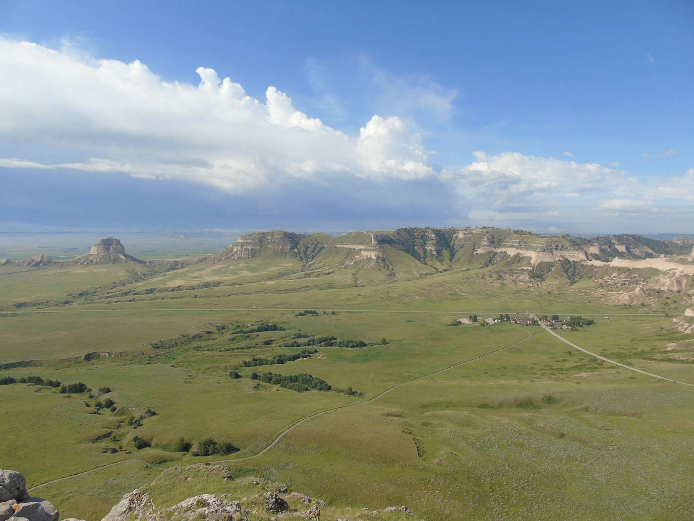
View from South Overlook:
It’s a sandstone and clay formation that stands out in the surrounding plains. It was a landmark for pioneers on the Oregon Trail. Here, they had already covered a third of the journey.
After doing the two short trails (South and North Overlook), I hiked back down with the kids via the Saddle Rock Trail (1.6 miles), while my husband drove down. To avoid splitting up, you can take a shuttle that leaves from the VC and drops you off at the top of the hill. The first part offers some lovely viewpoints. After passing through the tunnel and following the cliffside, the path crosses the plain, which gets a bit monotonous. A very easy hike, all downhill.
View from South Overlook:



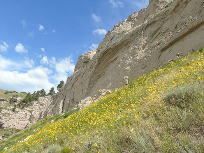
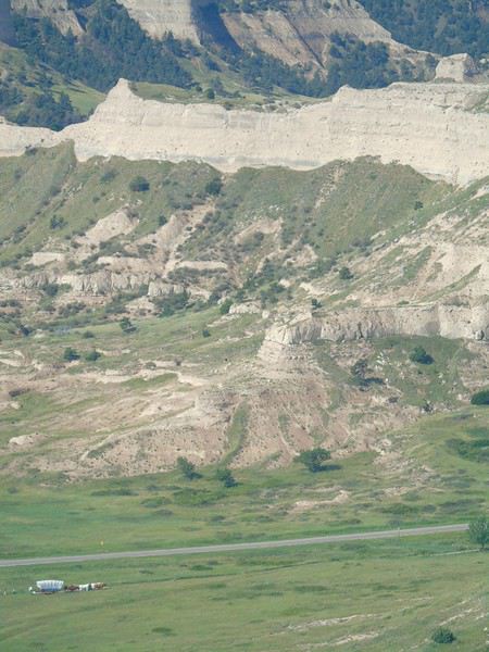 Saddle Rock Trail:

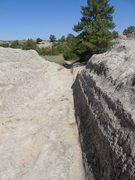
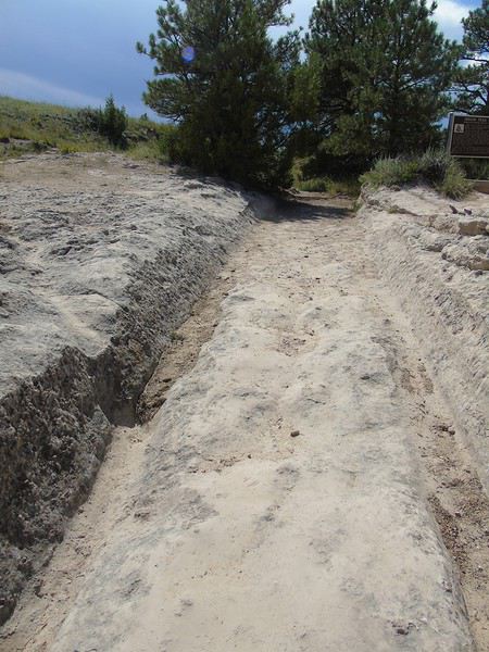
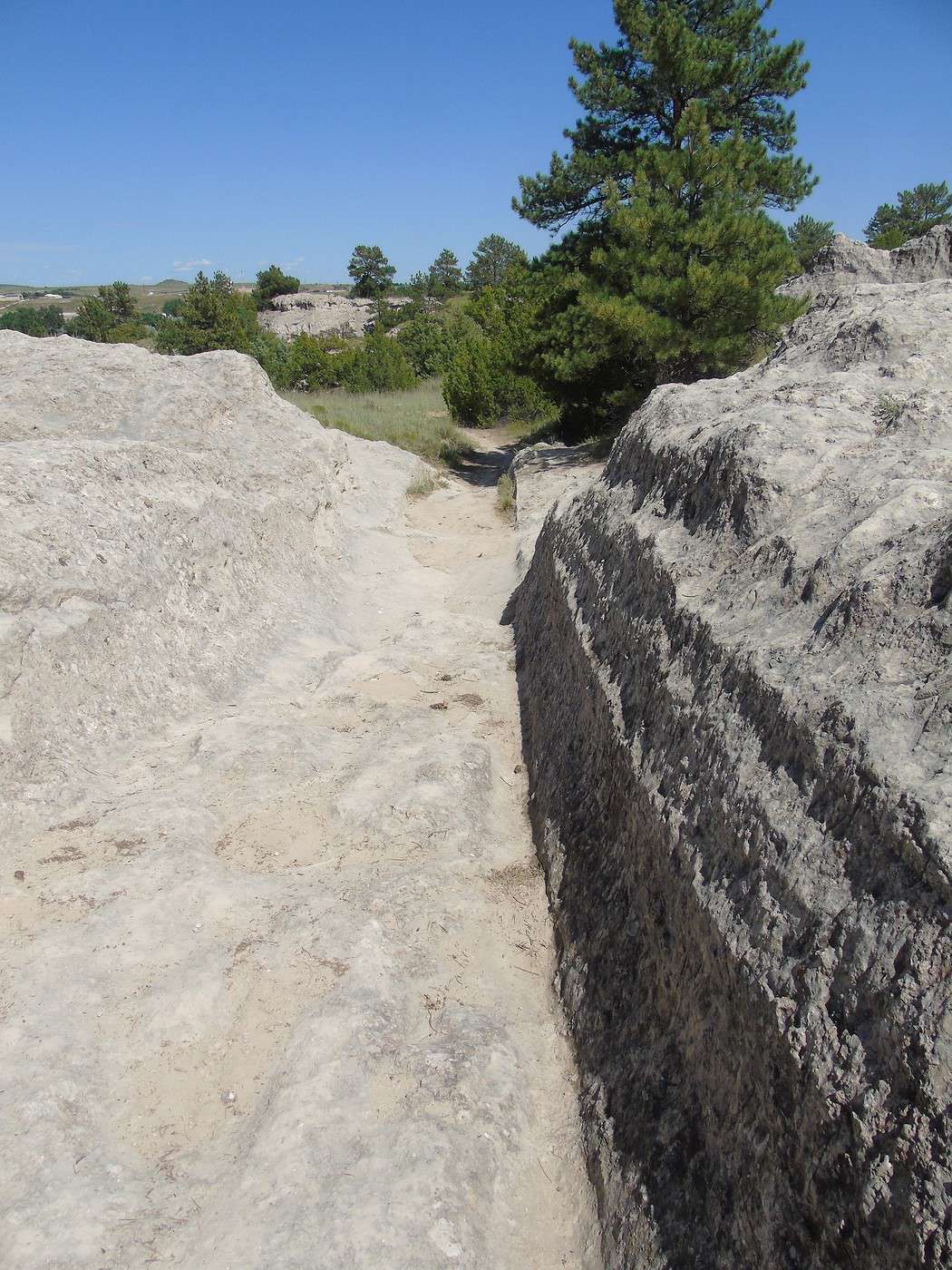
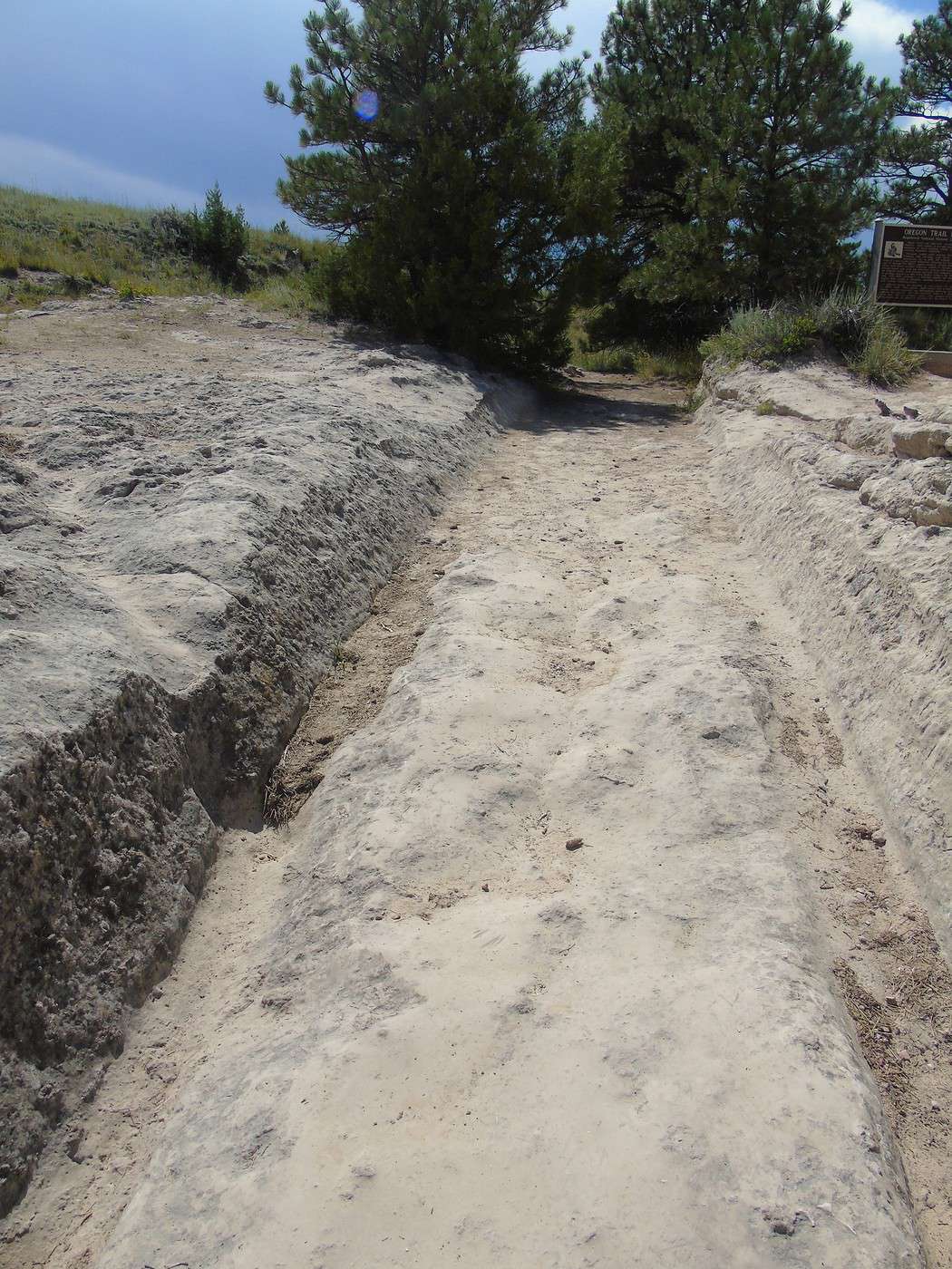
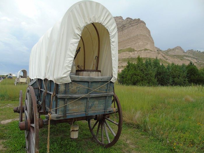
 The weather turned cloudy, and we arrived at the VC in a light drizzle. After visiting the VC—always so informative—and with a brief break in the clouds, we quickly walked a short stretch of the Oregon Trail, but the rain caught up with us fast!
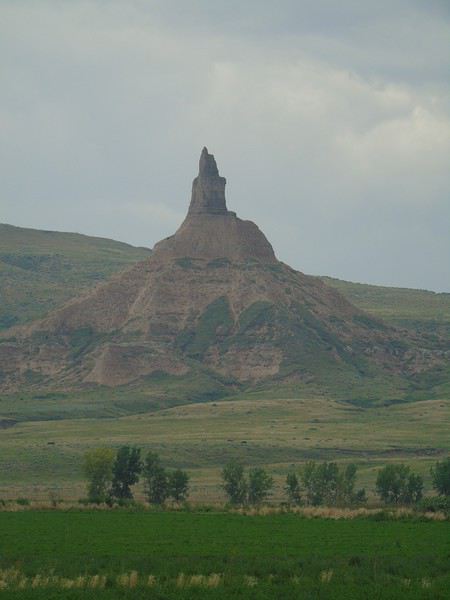
 We hit the road and passed Chimney Rock, but since it was still raining, we didn’t stop and just took some photos from a distance.
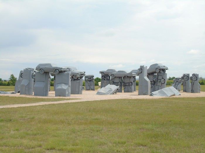
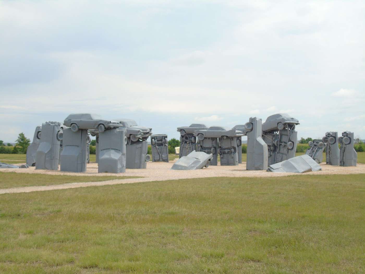
 Our next stop was Carhenge, a replica of Stonehenge made with cars. No more rain, but the sky stayed pretty gray. Maybe that’s why we weren’t really impressed by Jim Reinders’ creation.
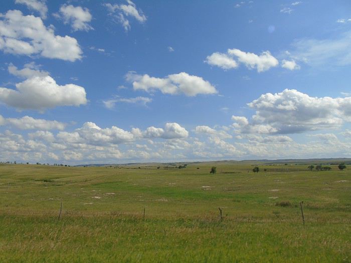

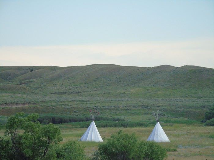
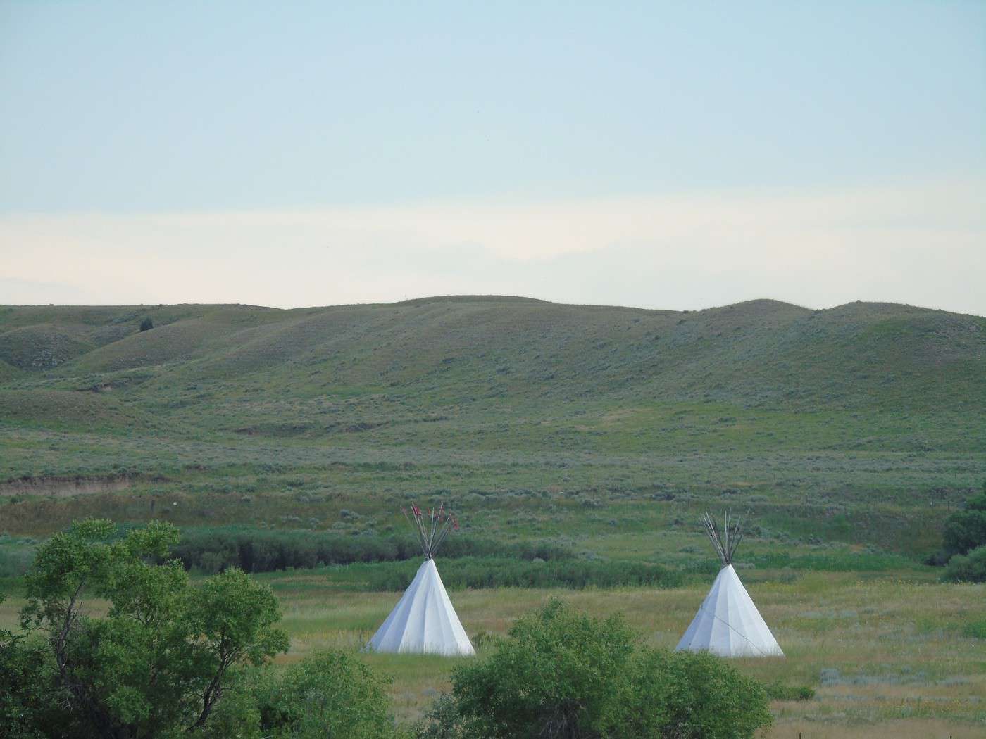
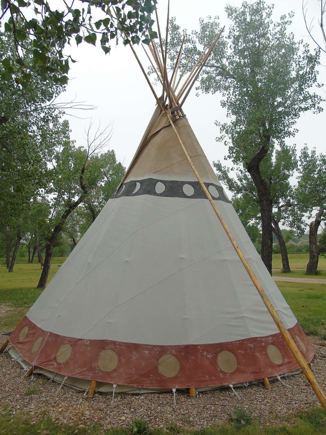
 We arrived in the mid-afternoon at White River KOA in Interior, where we spent two nights in a tipi. The weather was heavy and stormy, but the kids still went swimming. For the sunset over the Badlands, we’d just have to hope for better luck tomorrow!
A big storm rolled in that evening, and it rained all night. Not a drop of water inside the tipi, despite my worries. The rustic tipi was really small for six of us, but we managed to fit everything inside. The campground is in a pretty setting but was infested with mosquitoes (by the White River). We got eaten alive the first night, but luckily, the repellent we bought the next day worked pretty well.
We arrived in the mid-afternoon at White River KOA in Interior, where we spent two nights in a tipi. The weather was heavy and stormy, but the kids still went swimming. For the sunset over the Badlands, we’d just have to hope for better luck tomorrow!
A big storm rolled in that evening, and it rained all night. Not a drop of water inside the tipi, despite my worries. The rustic tipi was really small for six of us, but we managed to fit everything inside. The campground is in a pretty setting but was infested with mosquitoes (by the White River). We got eaten alive the first night, but luckily, the repellent we bought the next day worked pretty well.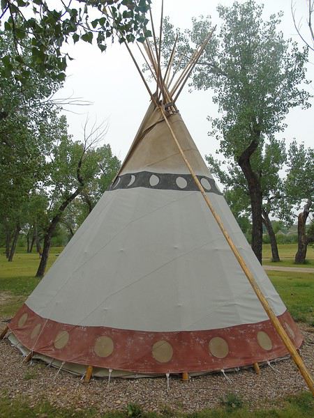
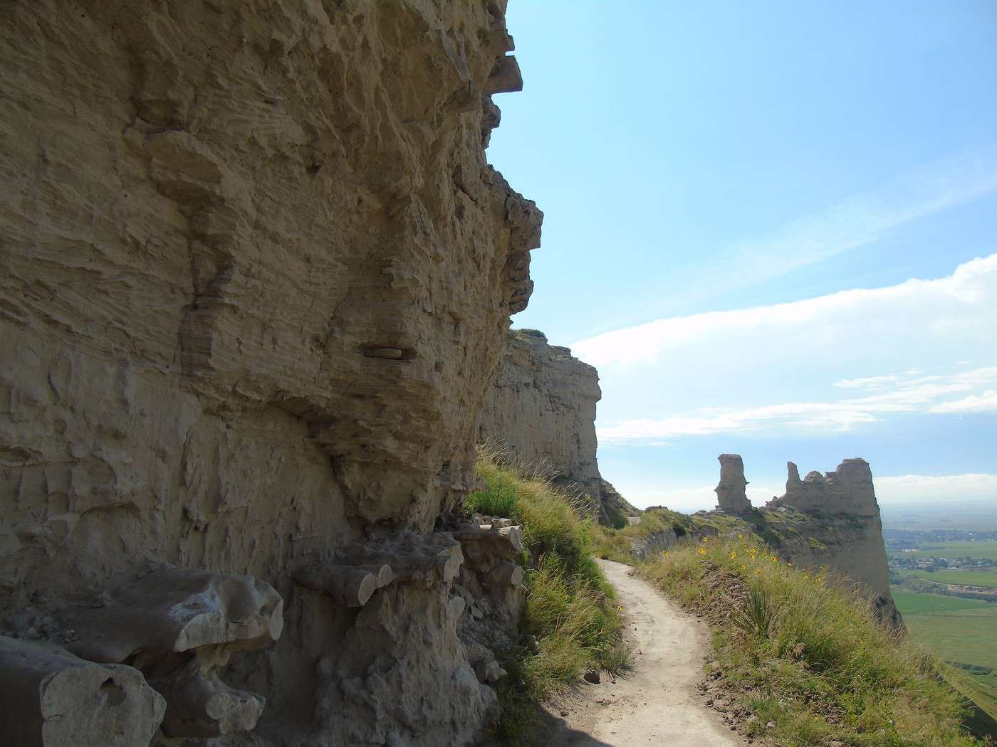
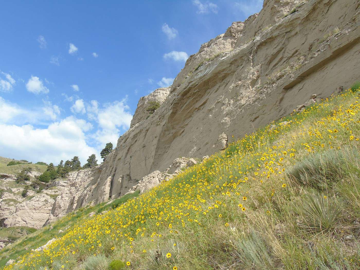
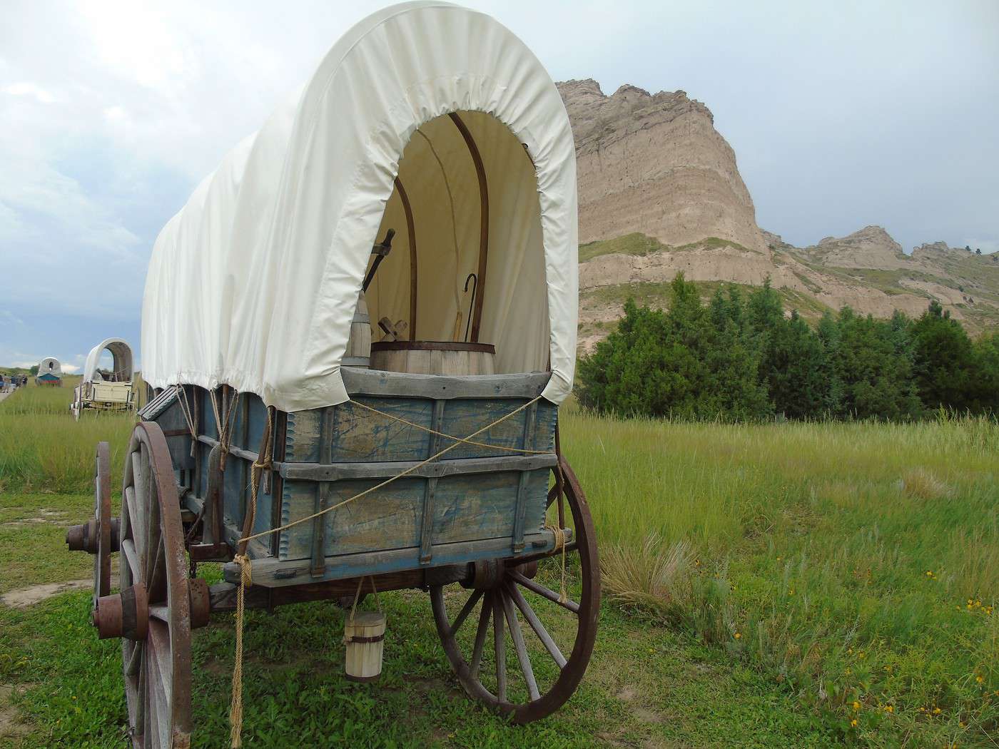
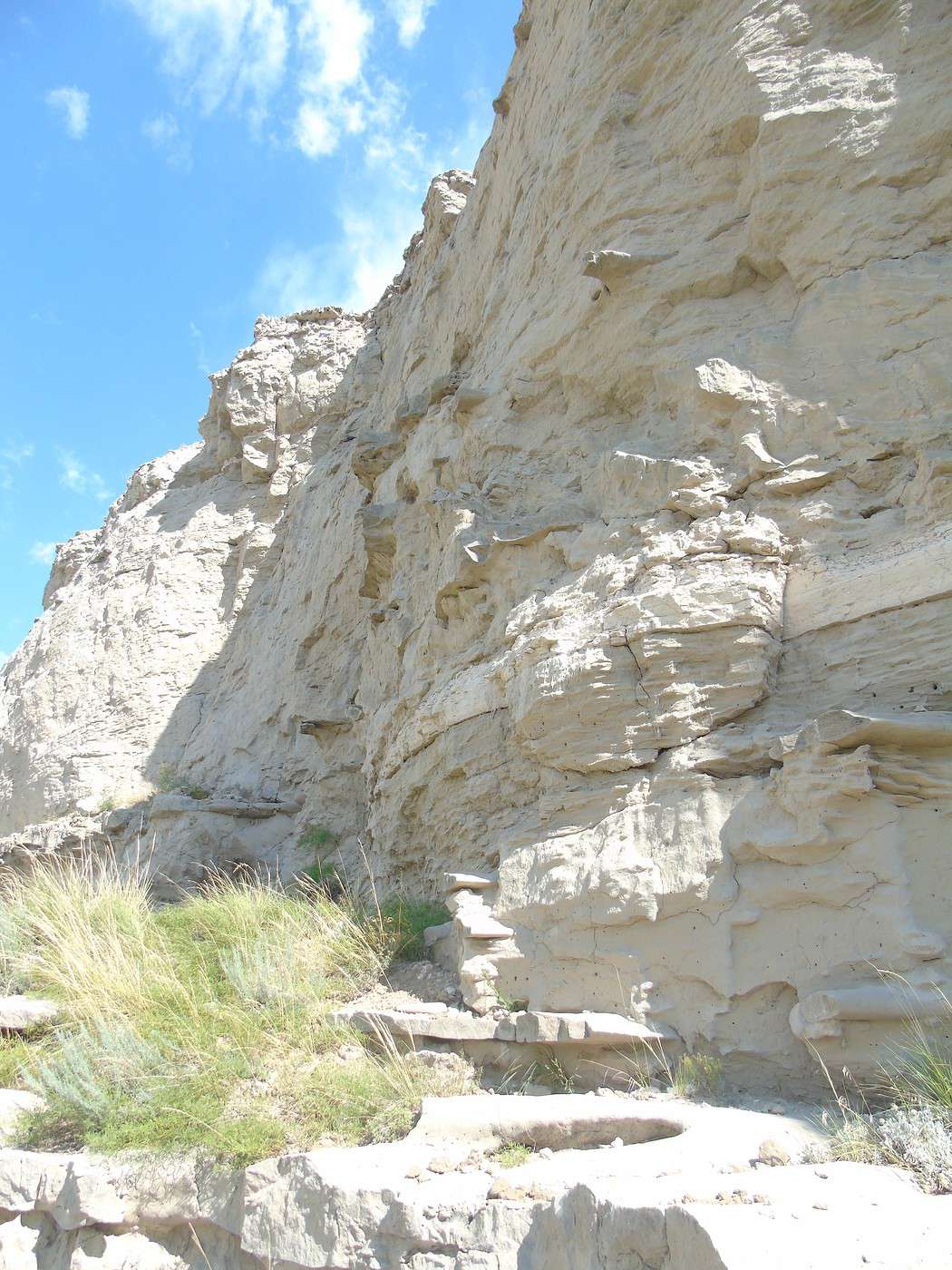
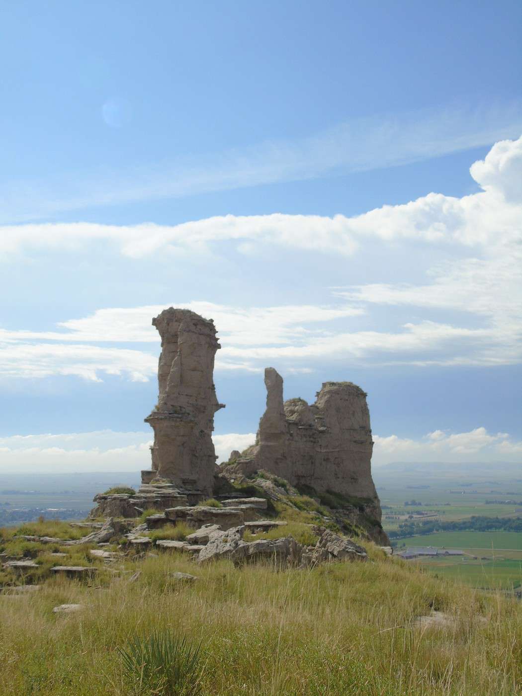
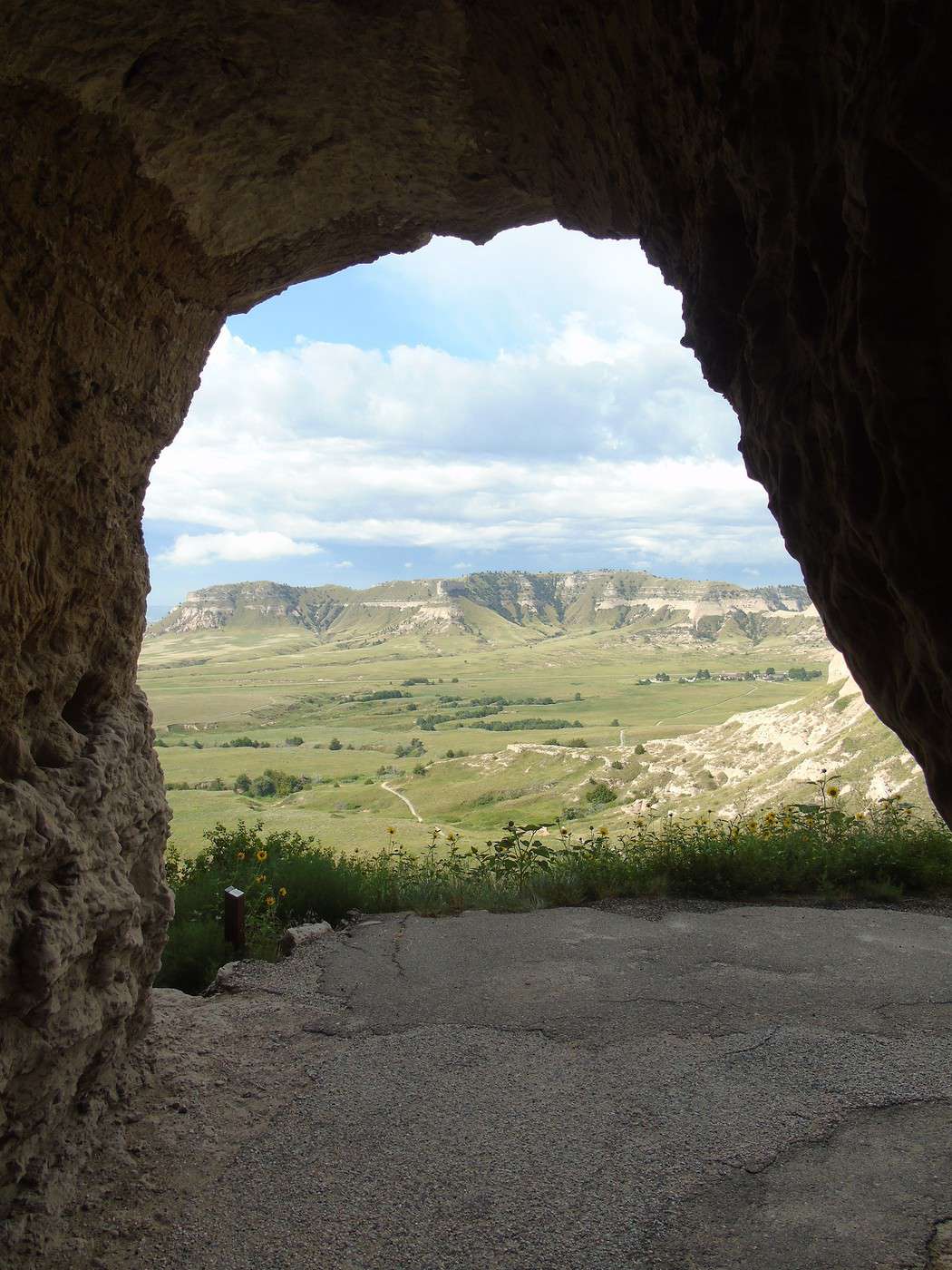
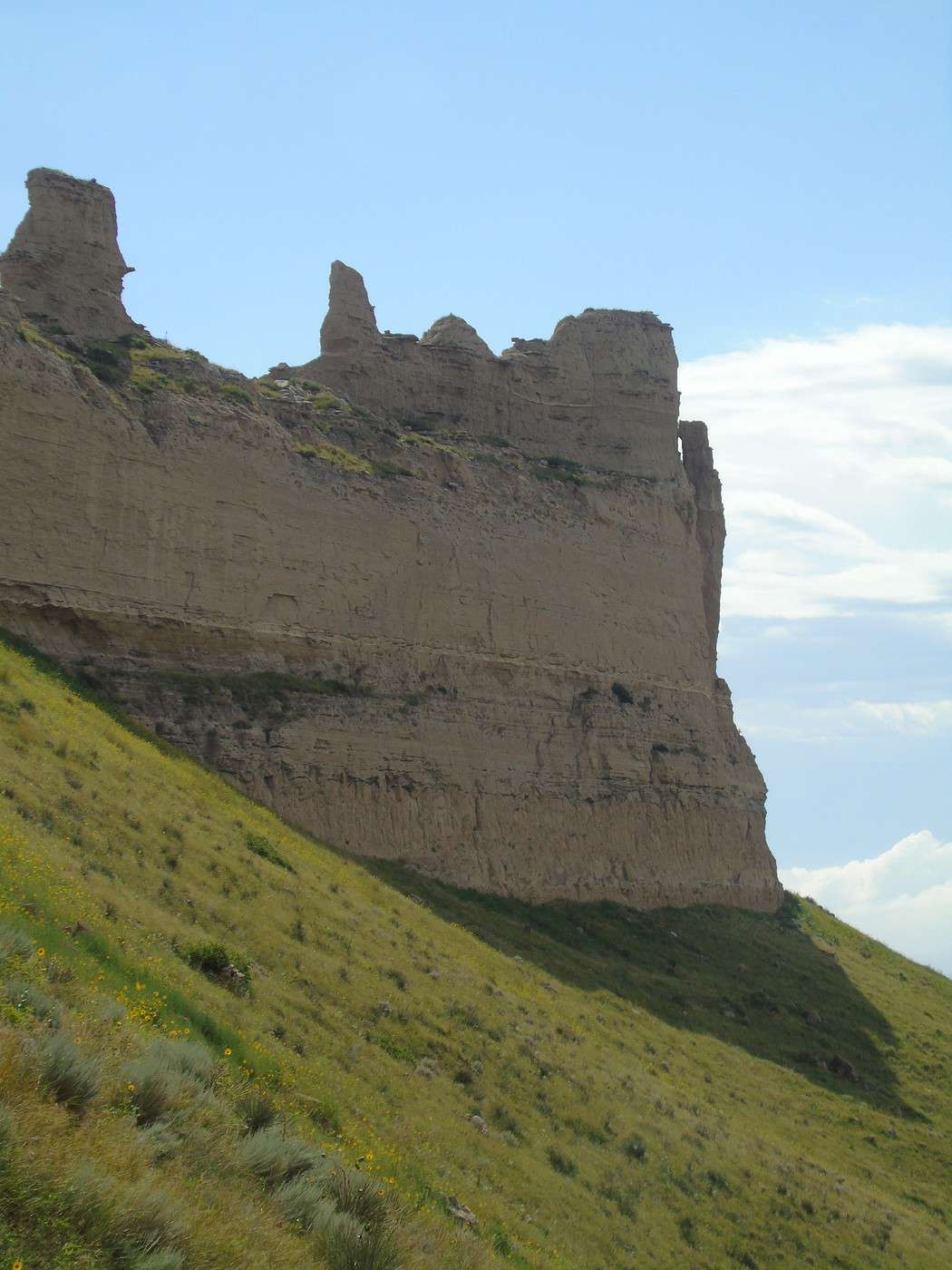
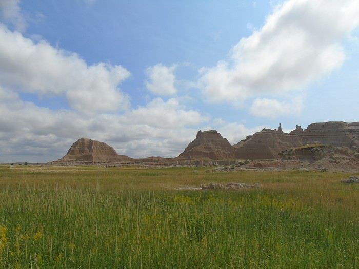
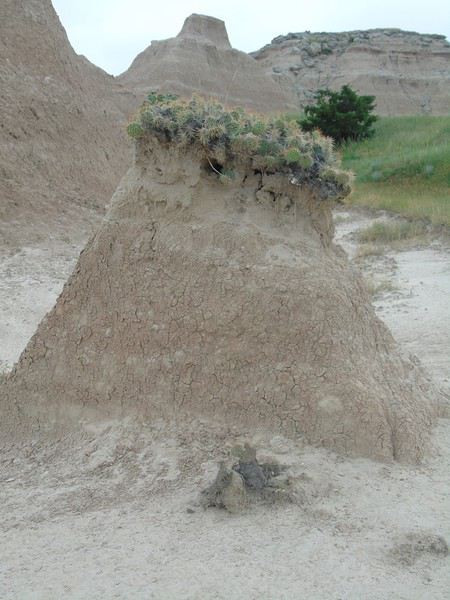
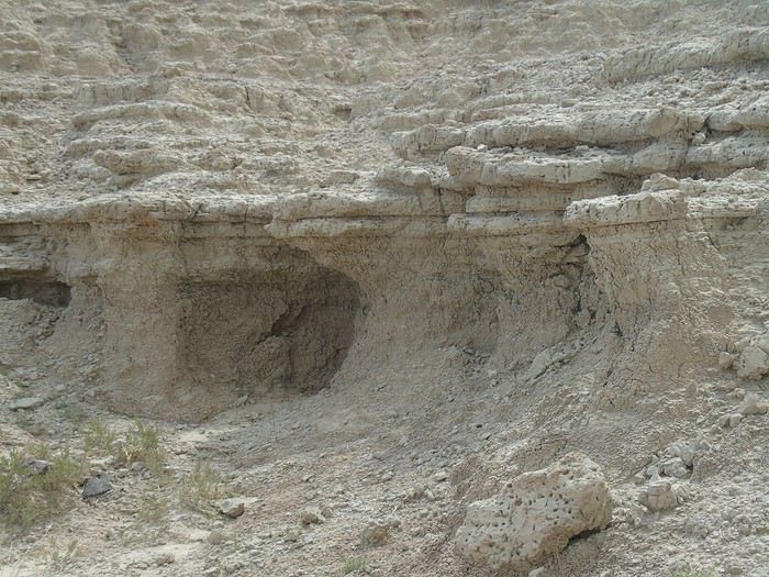
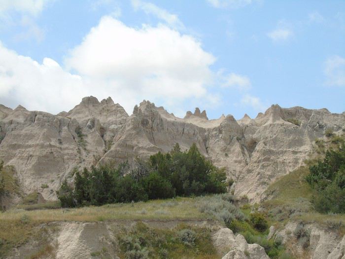
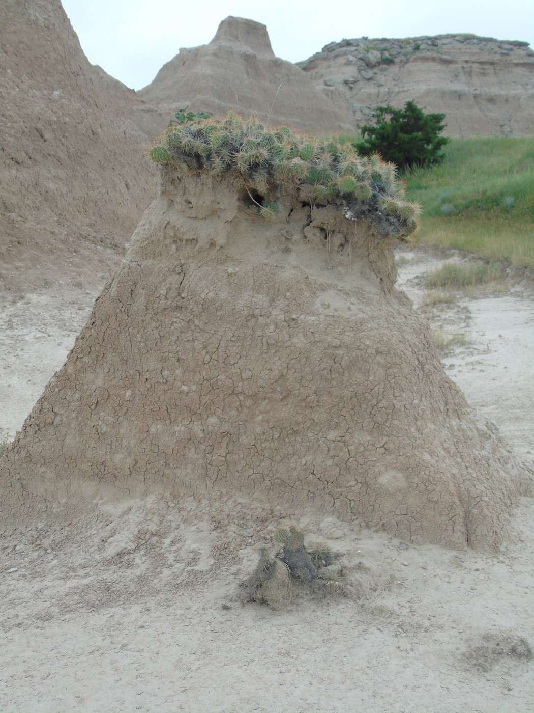
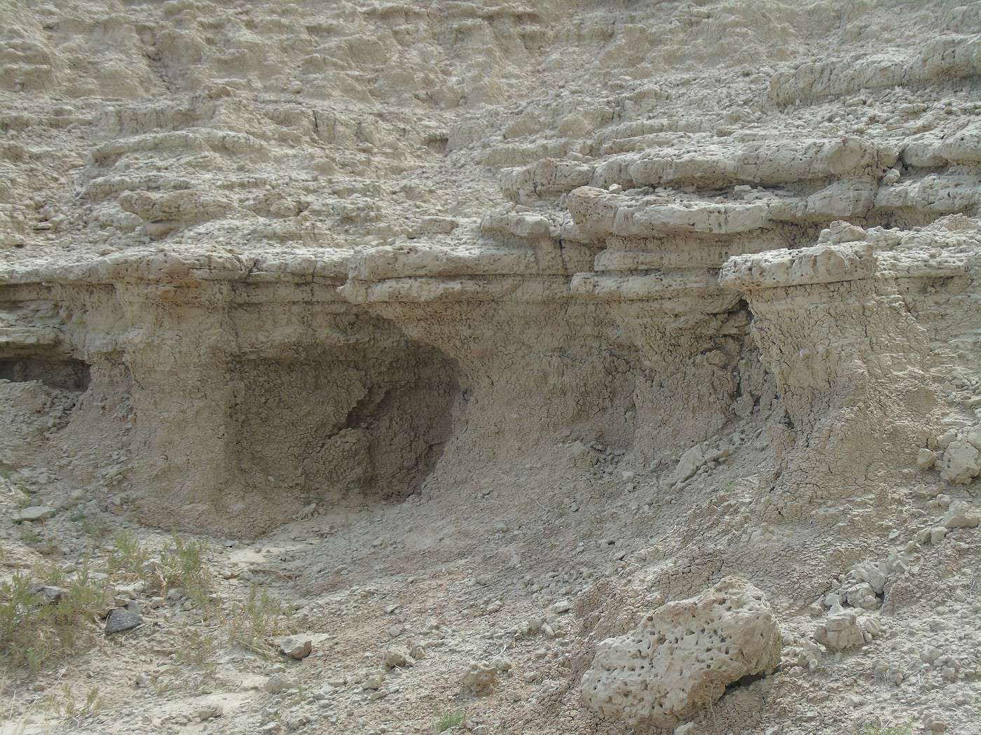
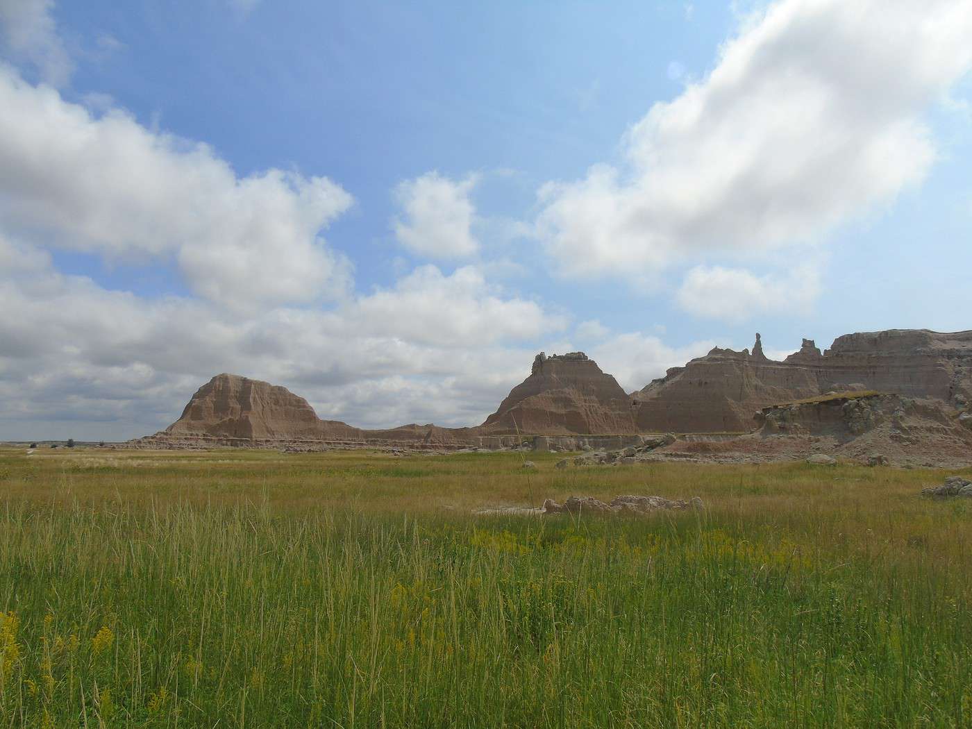
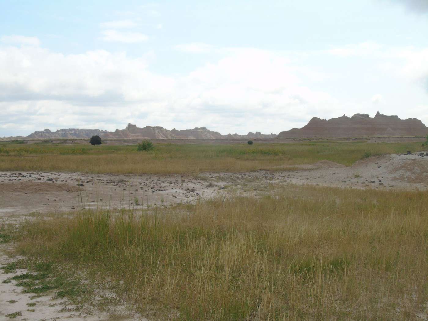
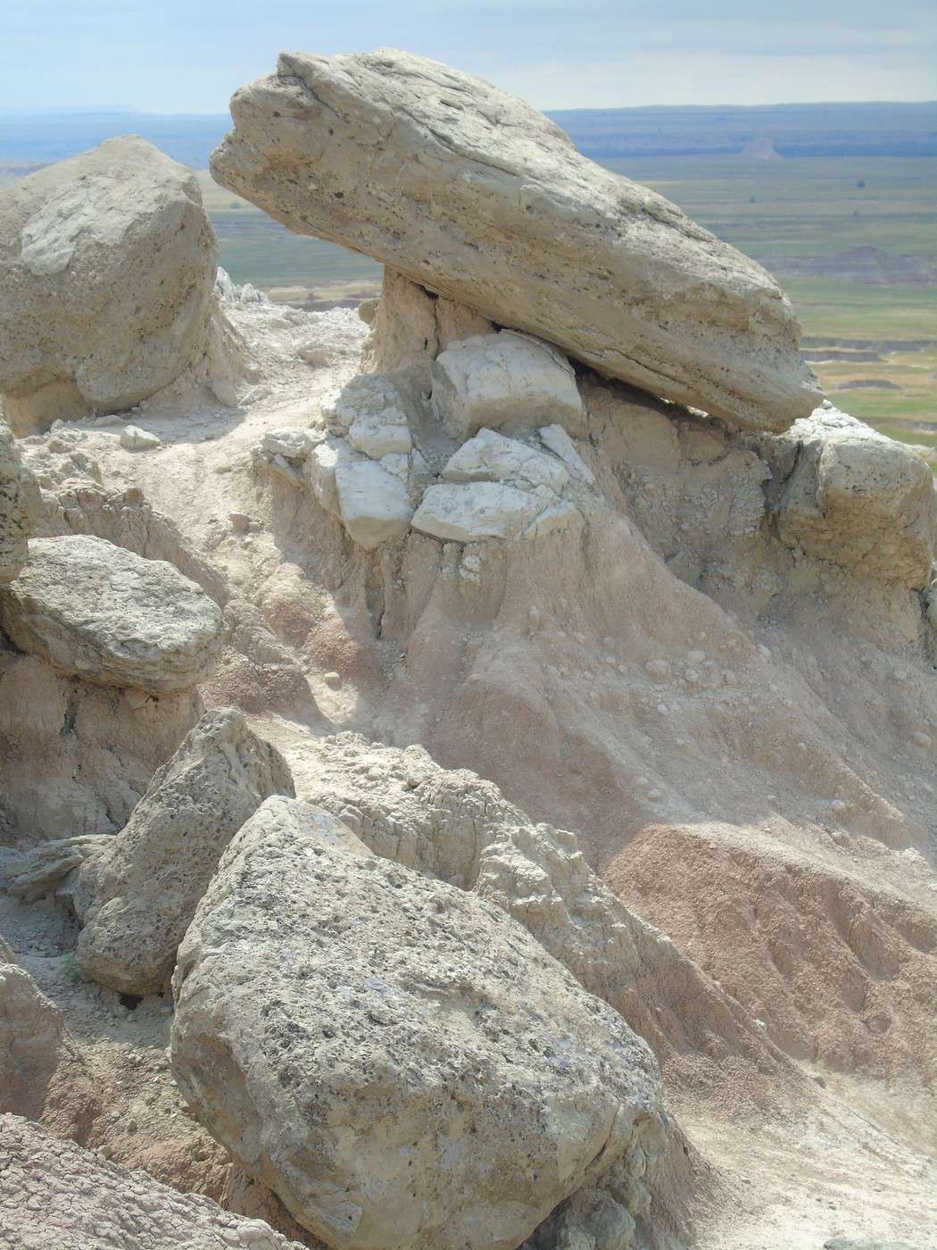
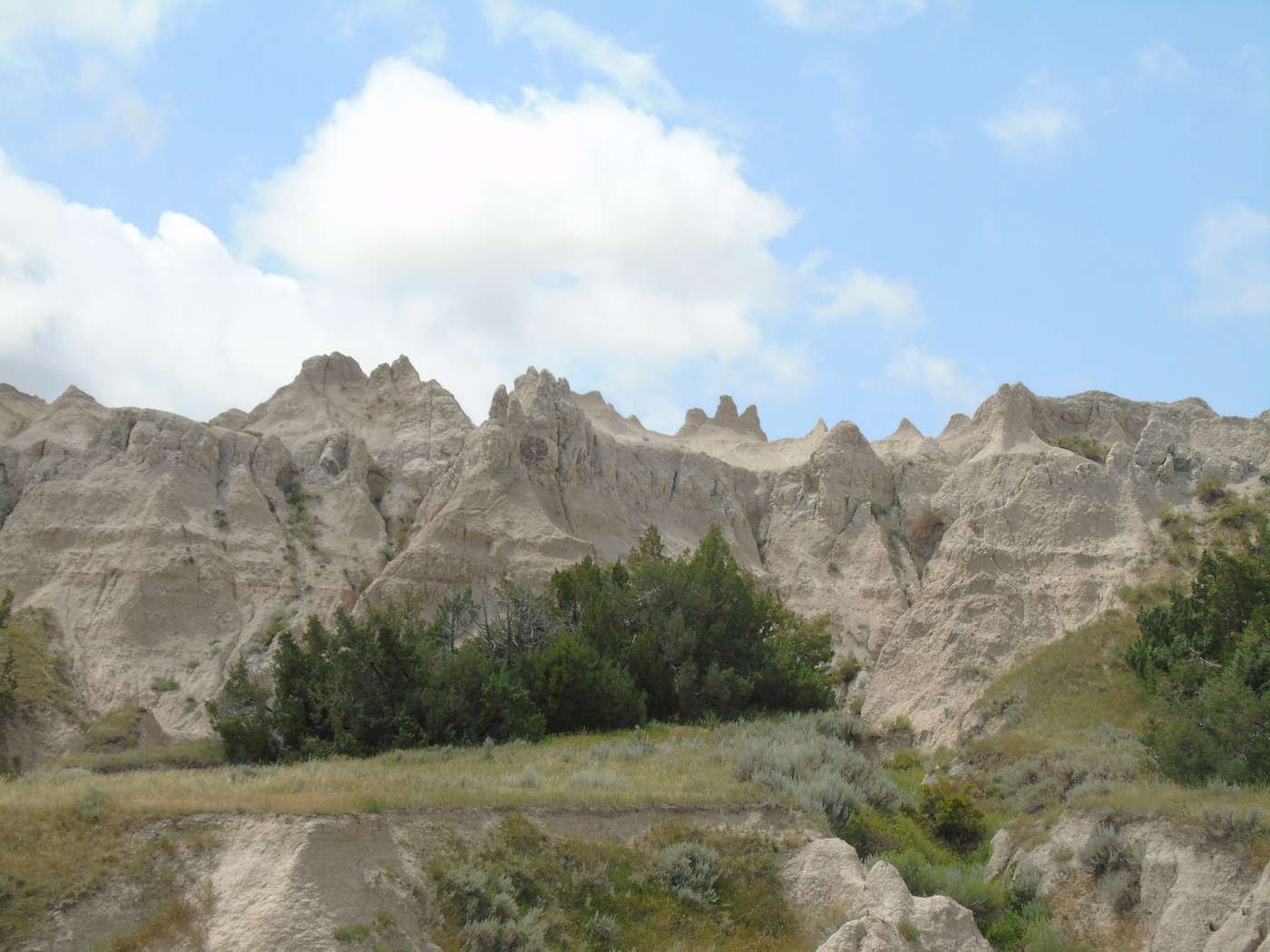
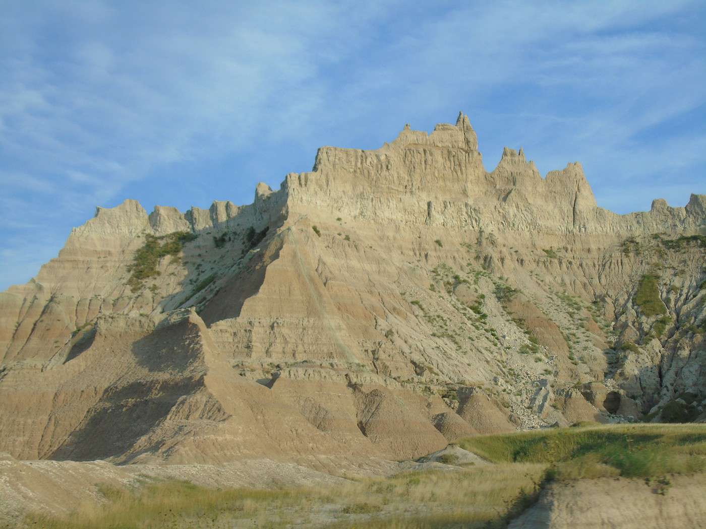
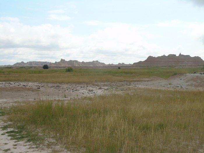 Rock formations:
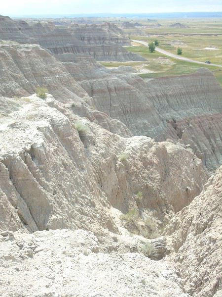
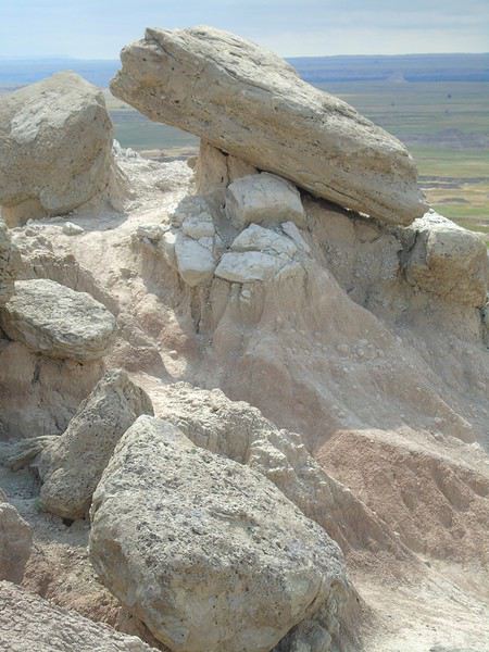
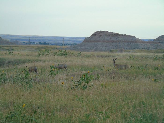
 It was an easy, pleasant hike with few people around (we only crossed paths with two couples). We came face to face with a doe that bolted away quickly. Strange that she didn’t hear us coming—our hikes are rarely quiet! Just a heads-up: there’s no shade, so it’s best to avoid this trail in very hot or sunny weather. We didn’t have that problem, though .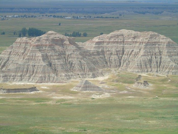
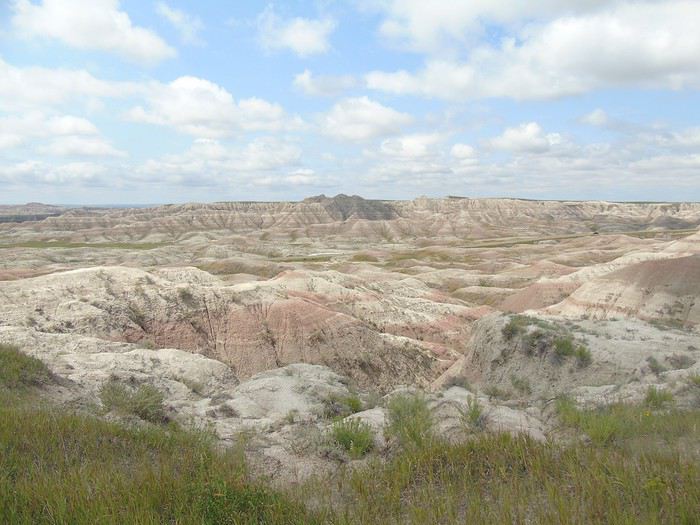 Along the road:
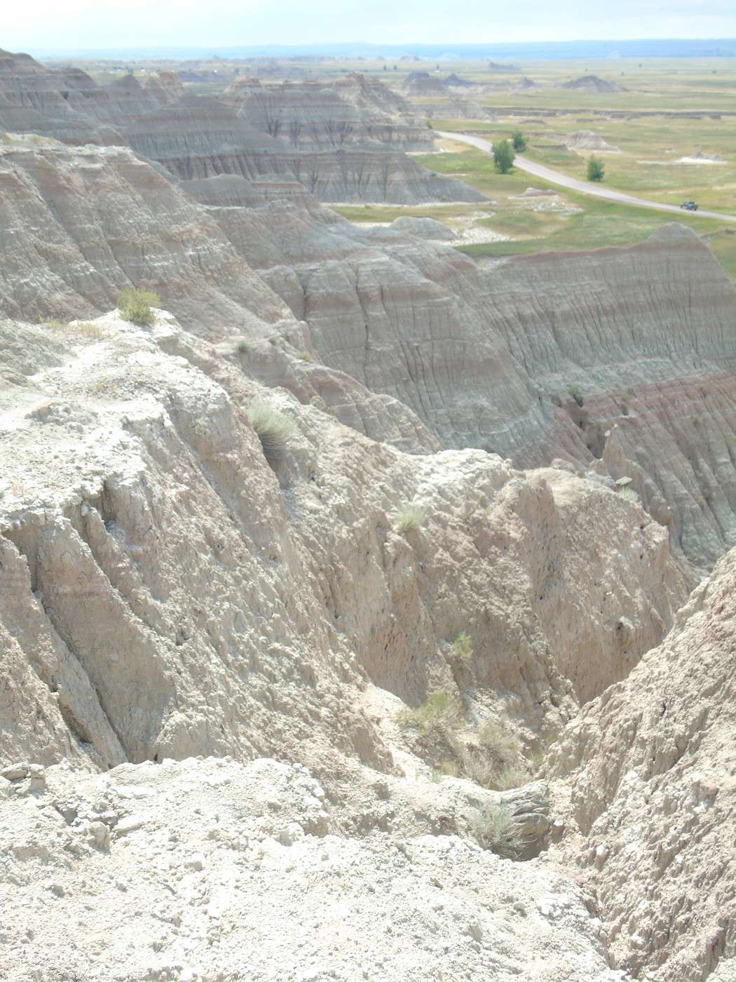
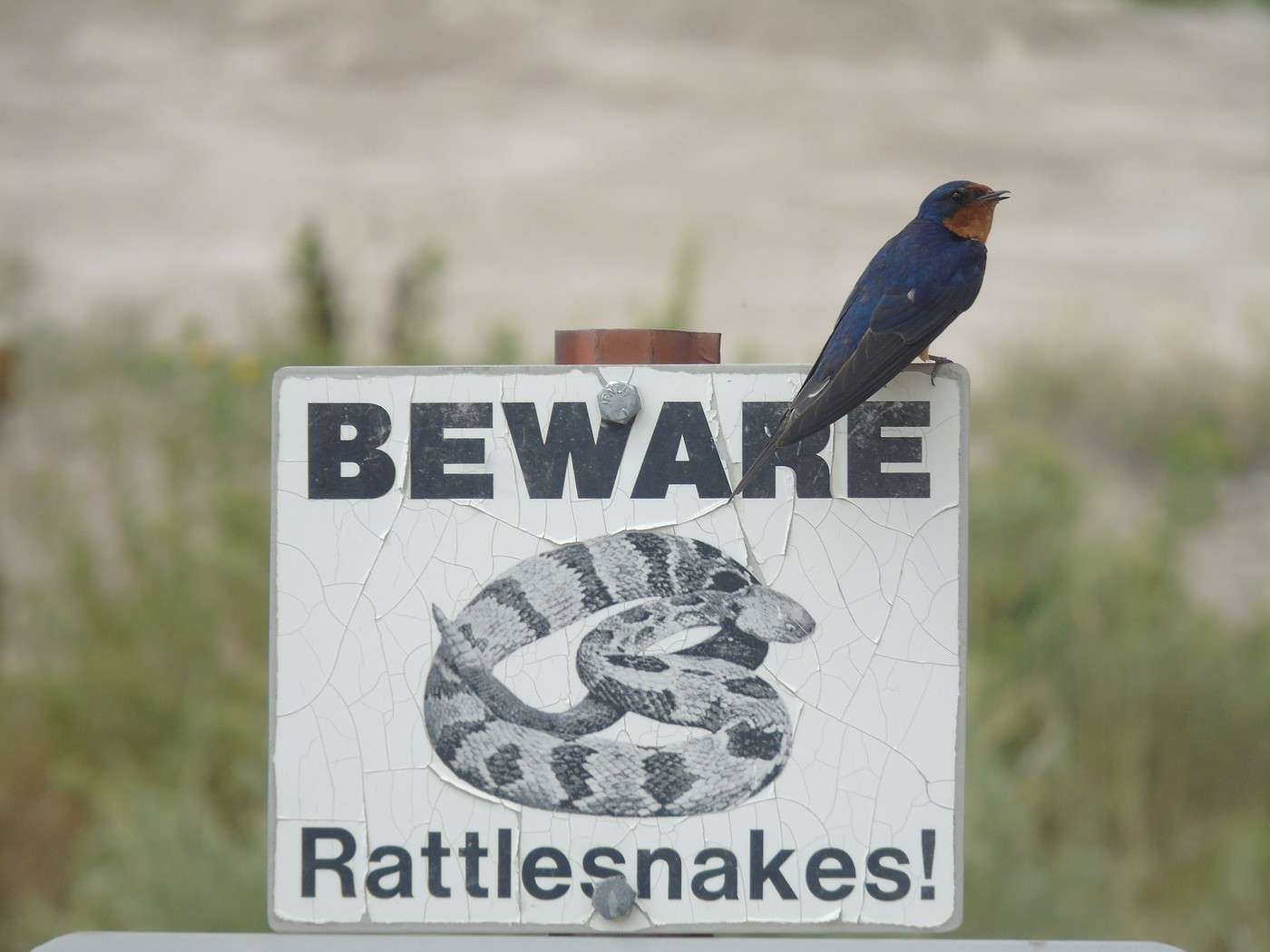
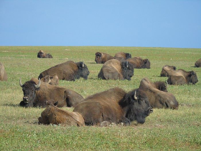
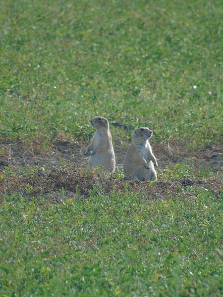
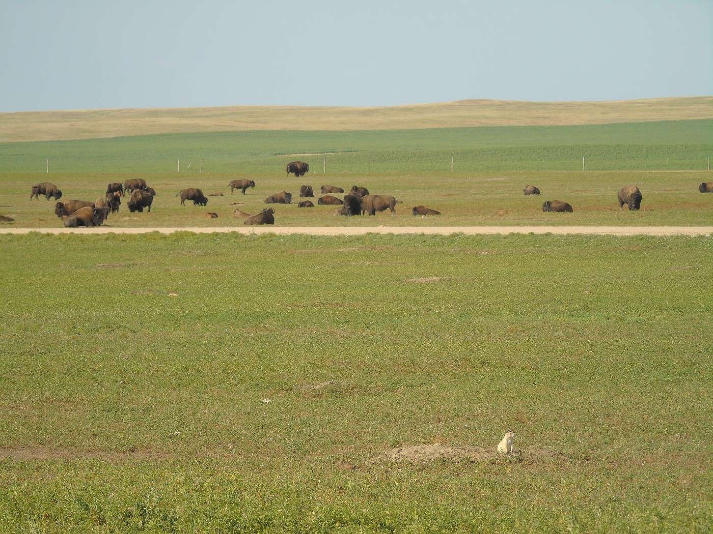
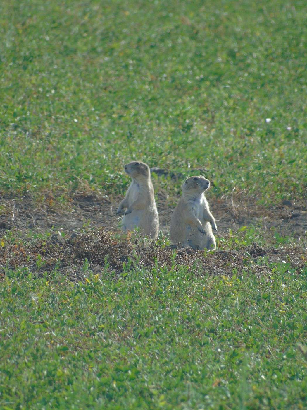
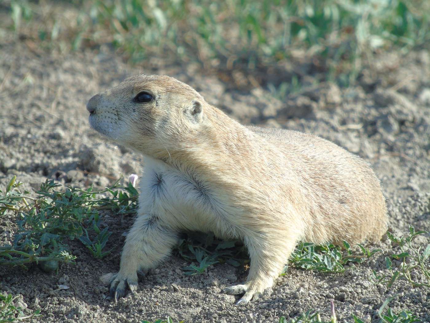
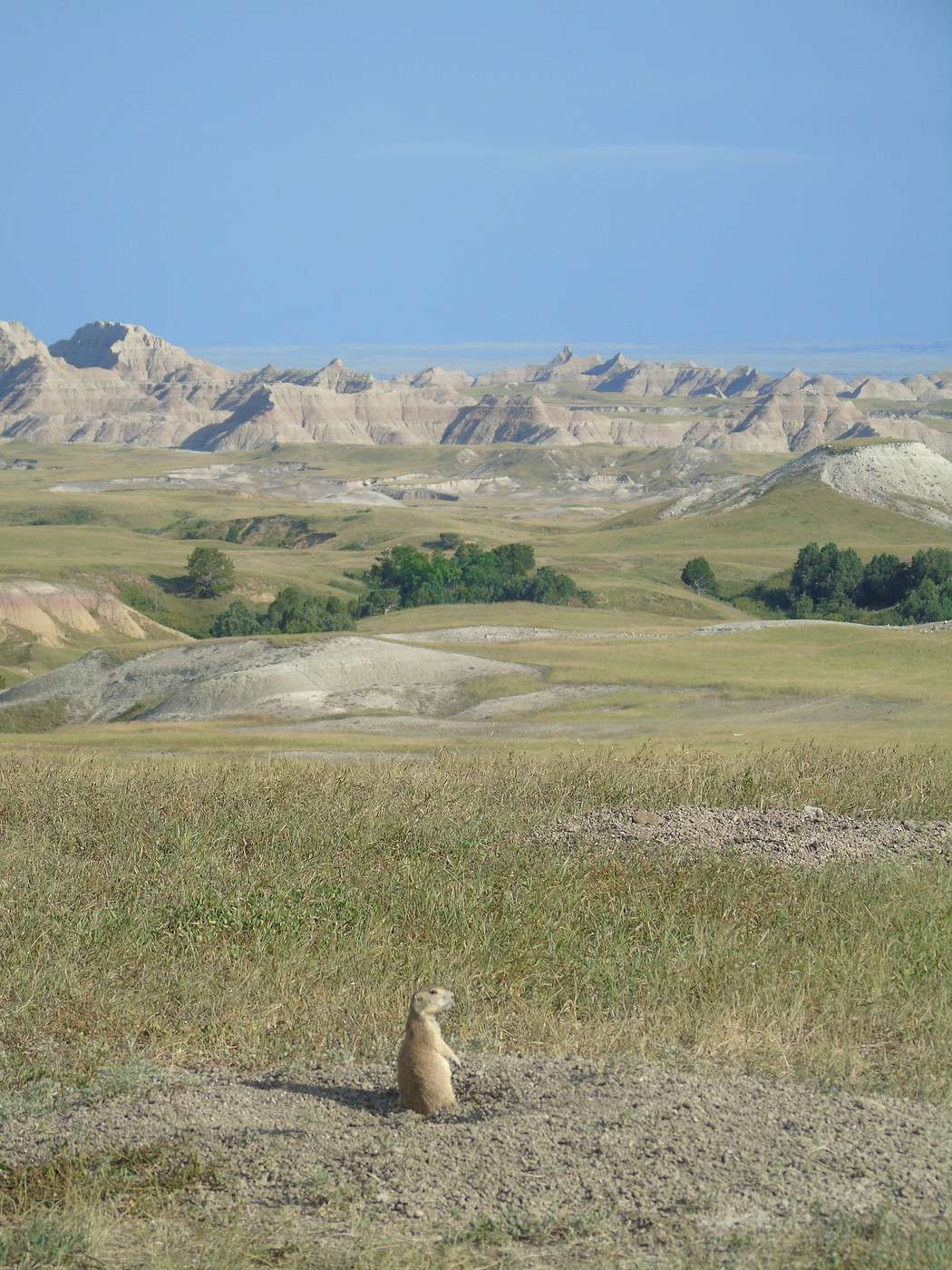
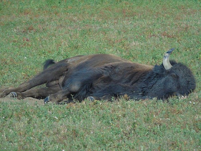 Just a few hundred meters later, we spotted prairie dogs. They’re really not shy—some were right by the road. Too cute!
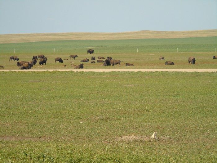
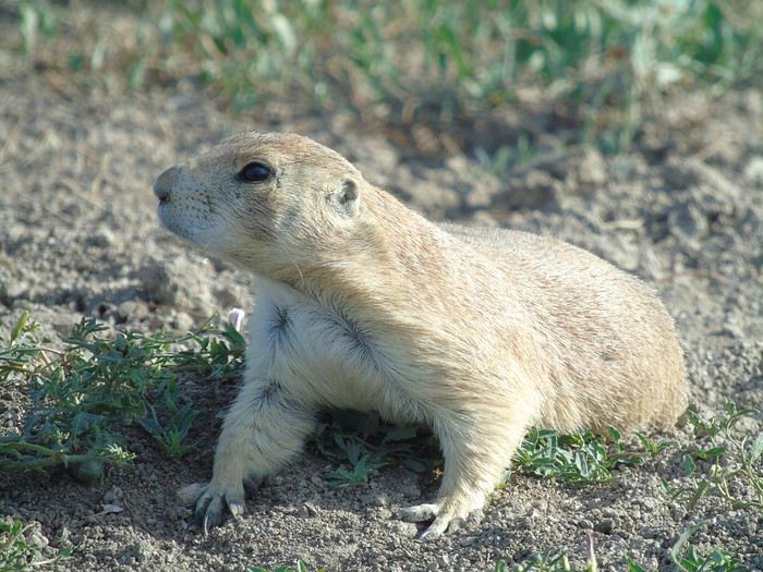
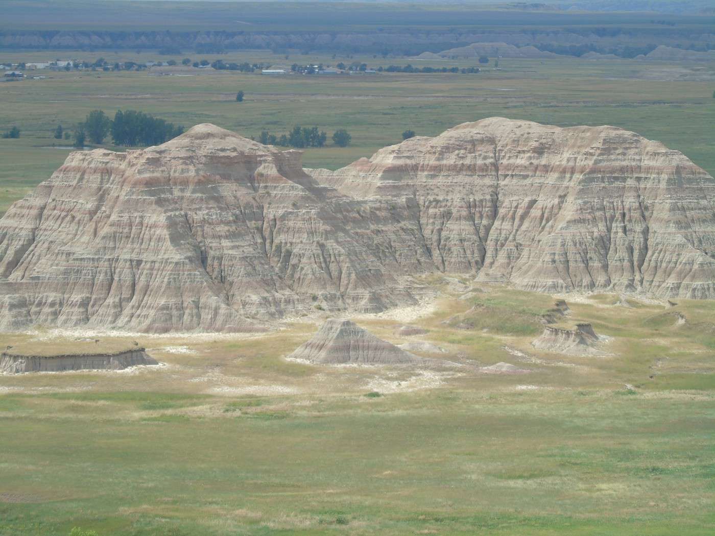
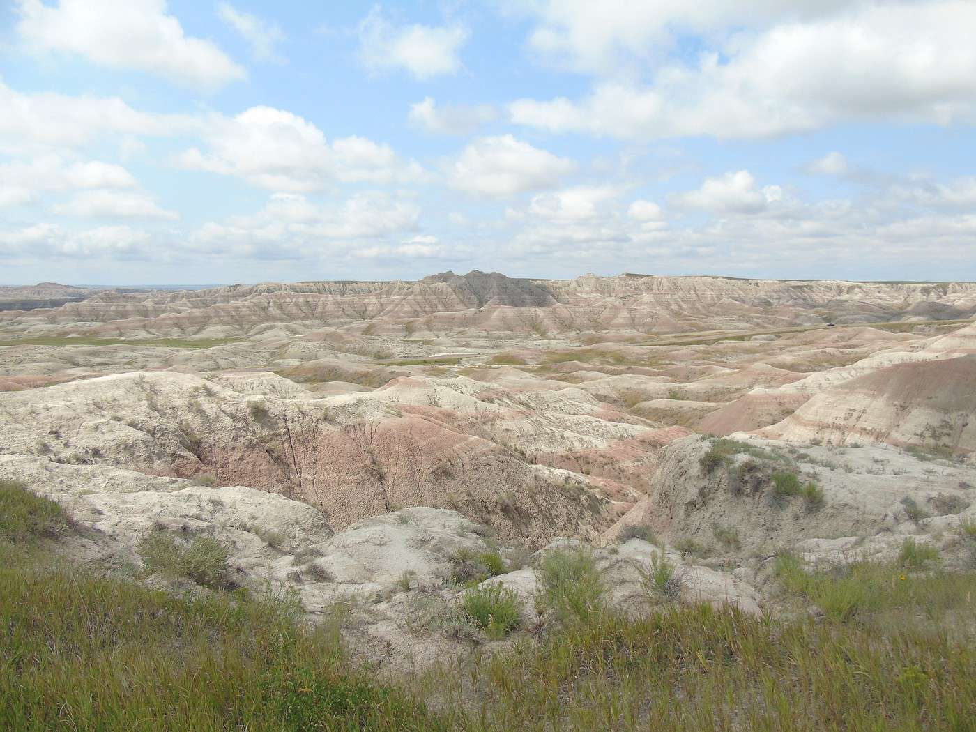
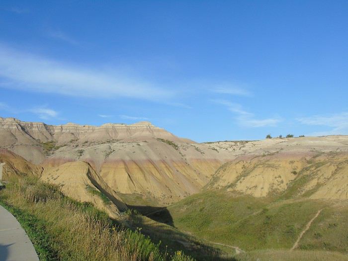
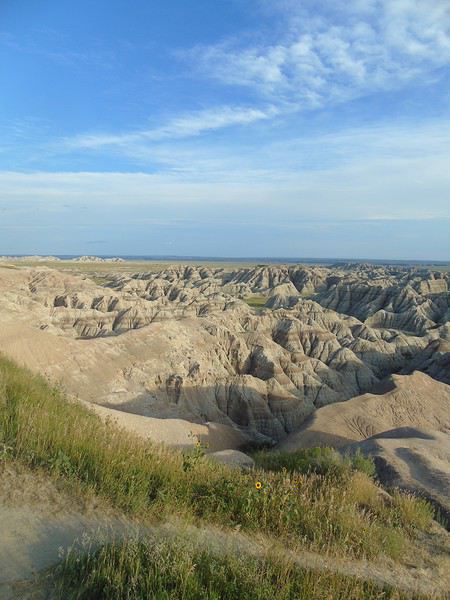
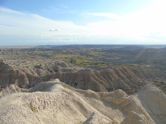
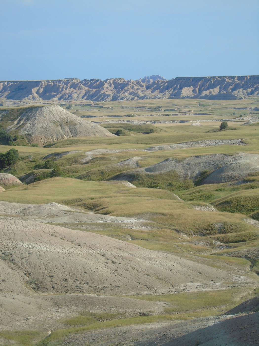
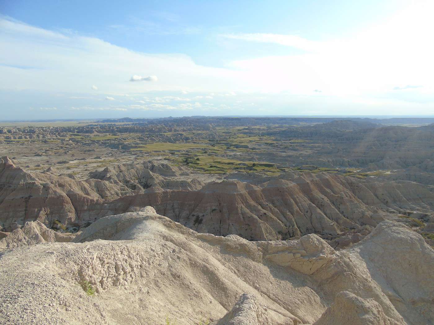
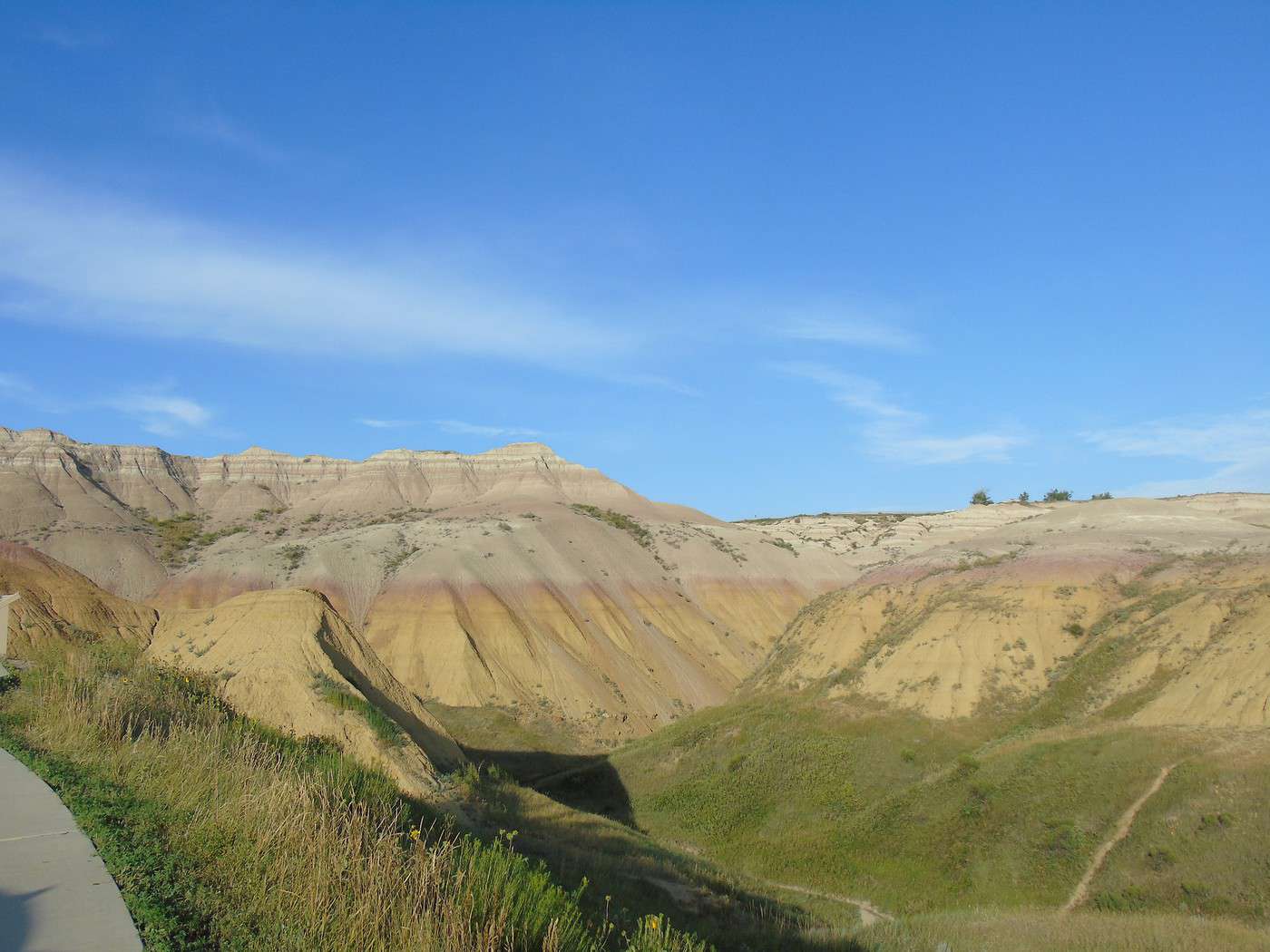
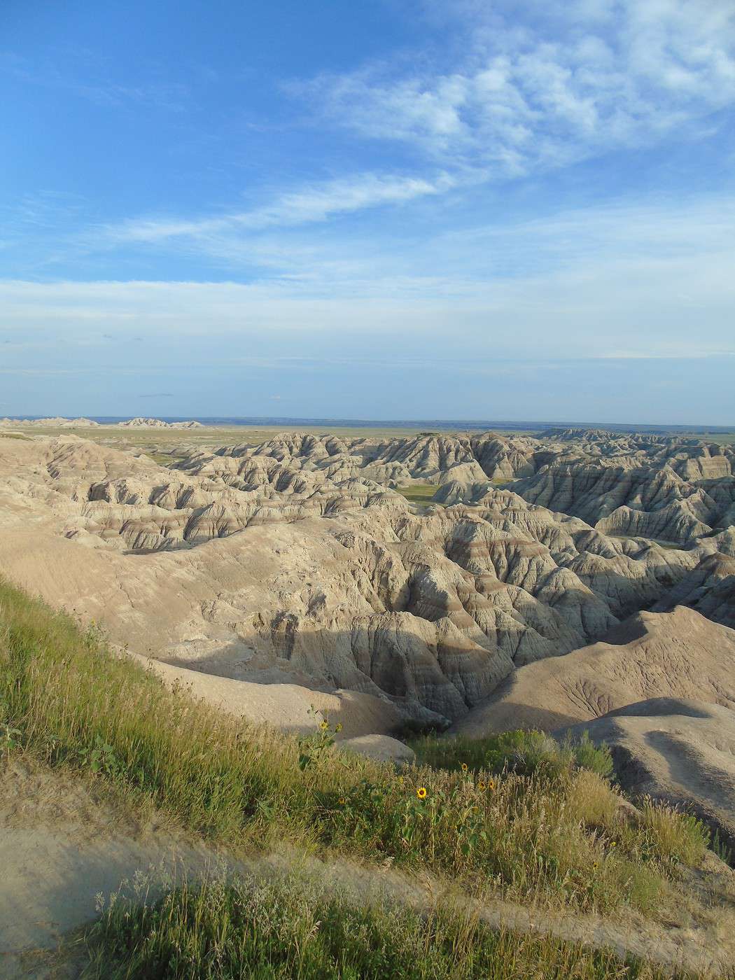
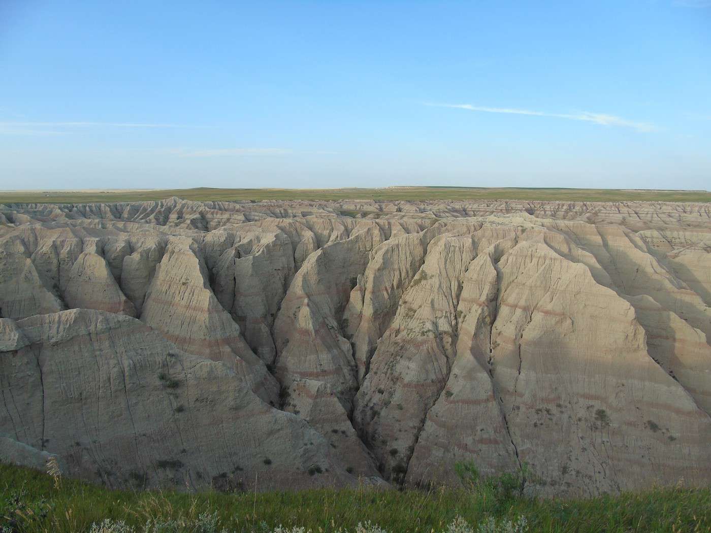
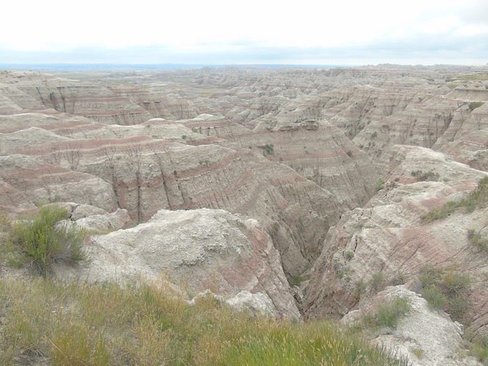
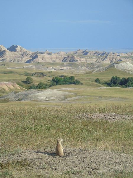 We stopped at Sage Creek Basin Overlook, which offered a stunning landscape.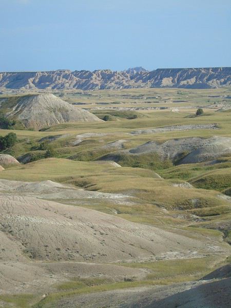
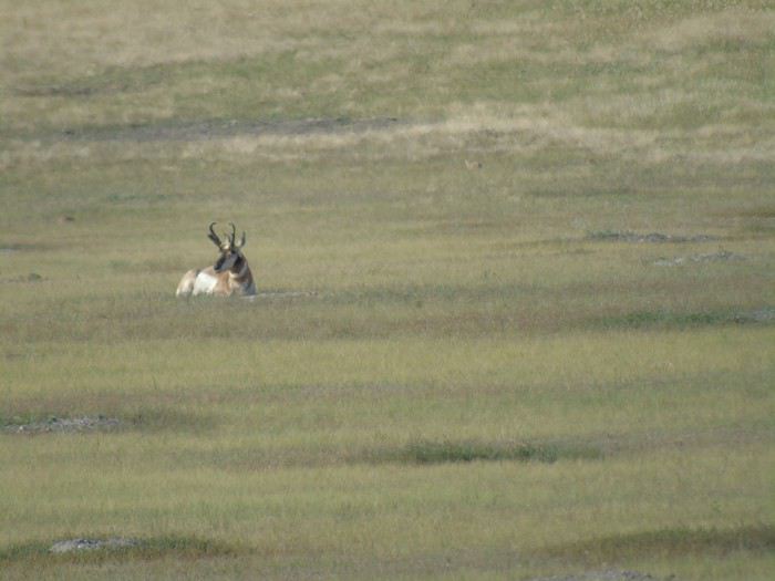
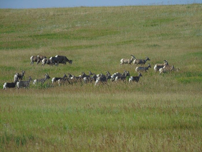
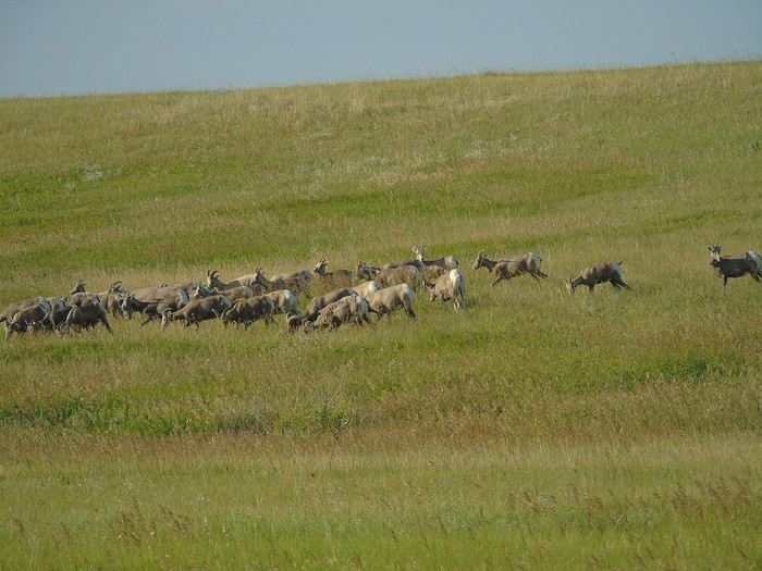
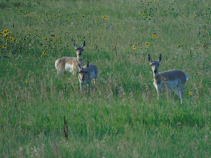
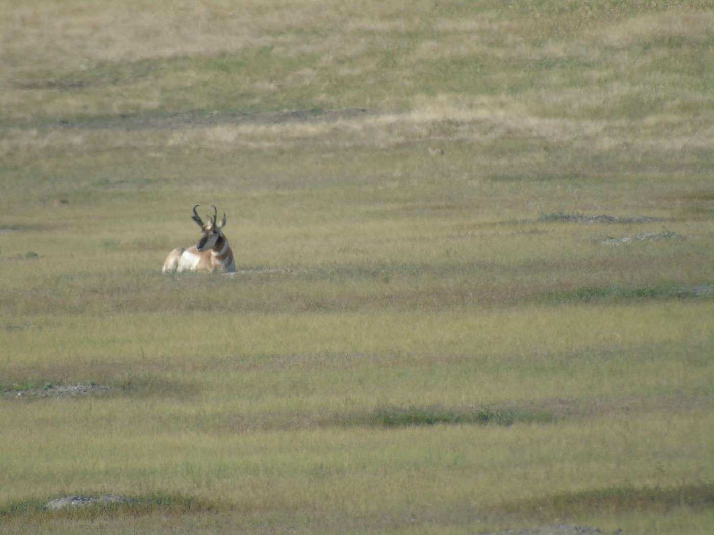
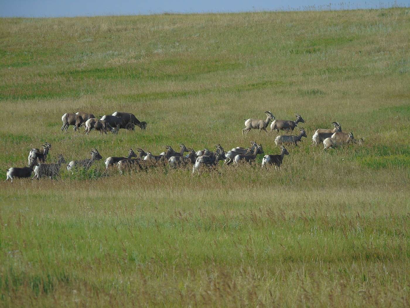
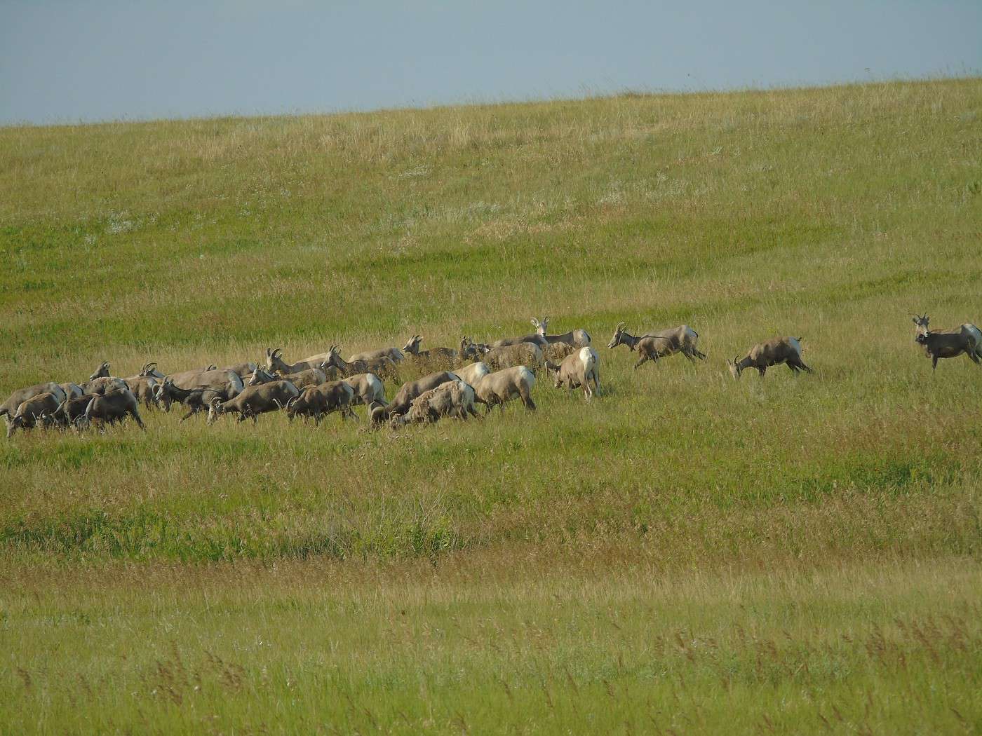
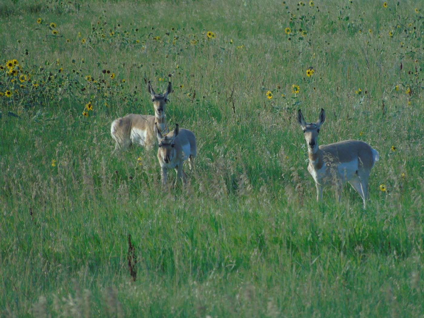
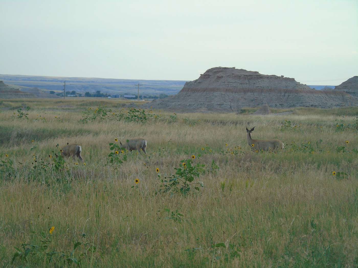
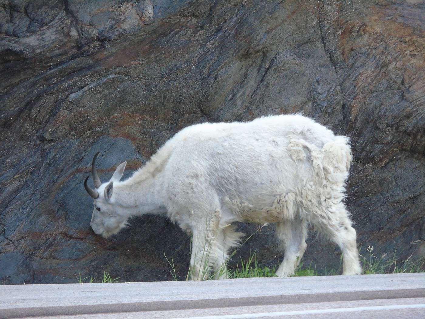
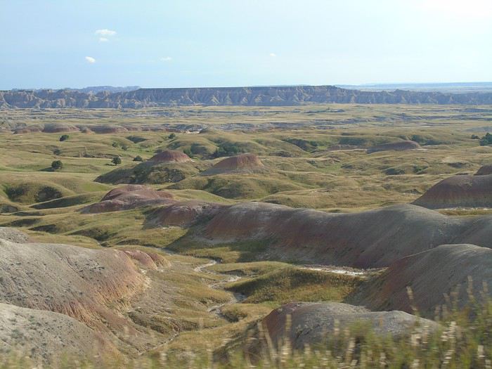 No sooner had we set off again when we saw a male pronghorn in the plains, and a little farther on, a herd of bighorn sheep. At one point, they all started running—what a sight! Magical.
 We had planned to take Route 44 to Rapid City and visit Sheep Mountain Table, but given the weather, we took the quickest route via I-90 instead.
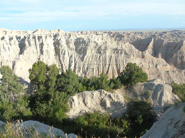
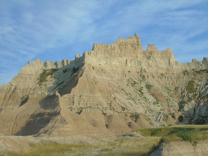
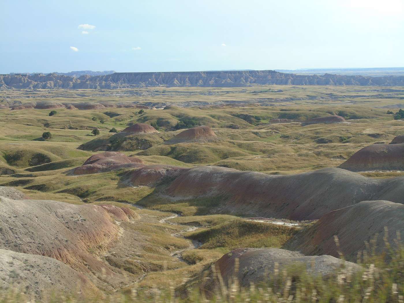
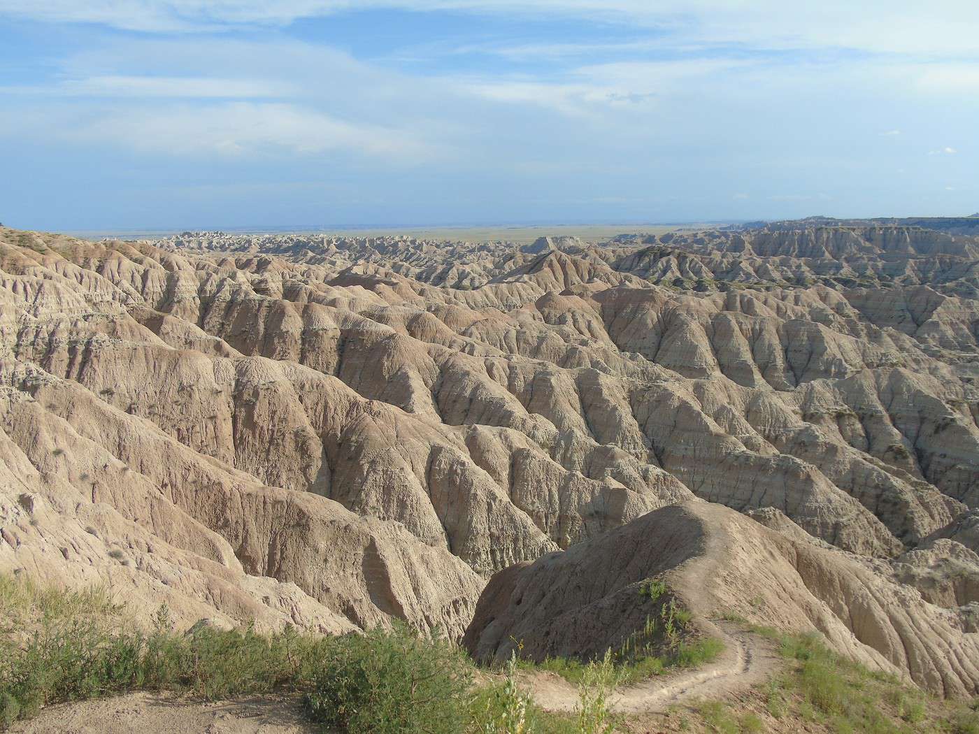
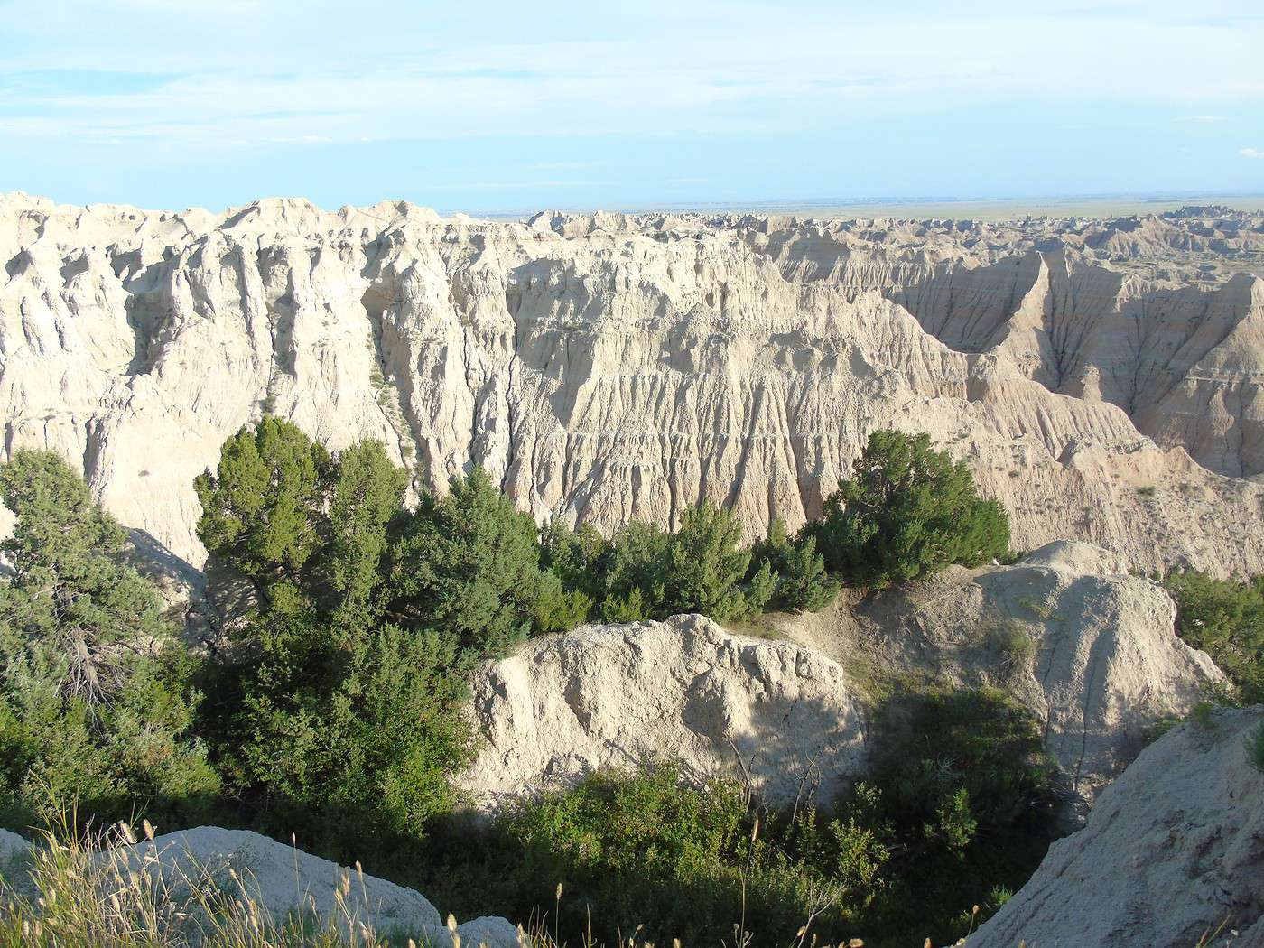
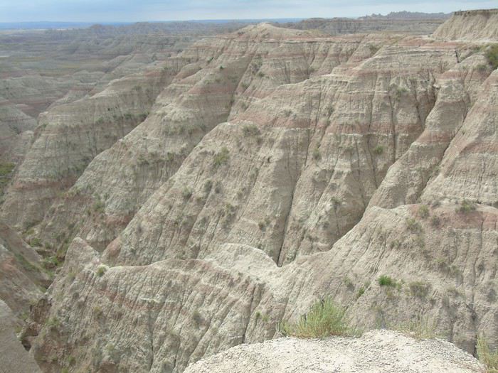
What can I say about Badlands NM other than we loved it! Even though the weather wasn’t on our side, we found the park incredibly photogenic and saw plenty of wildlife. It’s often visited as part of a round trip from the Custer area, but it really deserves a longer visit. It’s one of our top highlights of the trip.
We had planned to take Route 44 to Rapid City and visit Sheep Mountain Table, but given the weather, we took the quickest route via I-90 instead.
What can I say about Badlands NM other than we loved it! Even though the weather wasn’t on our side, we found the park incredibly photogenic and saw plenty of wildlife. It’s often visited as part of a round trip from the Custer area, but it really deserves a longer visit. It’s one of our top highlights of the trip.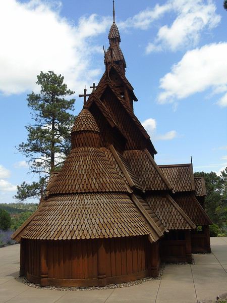
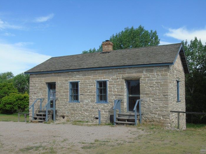
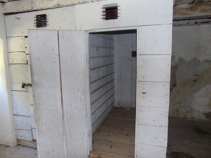
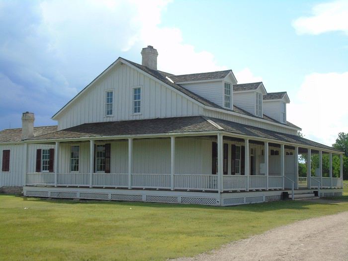
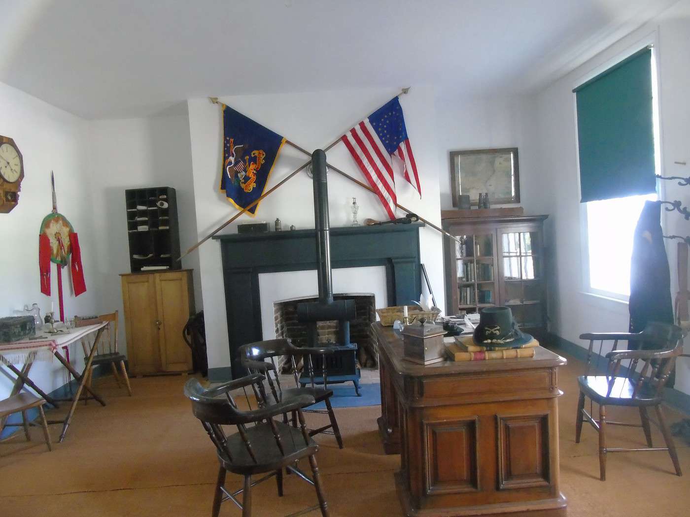
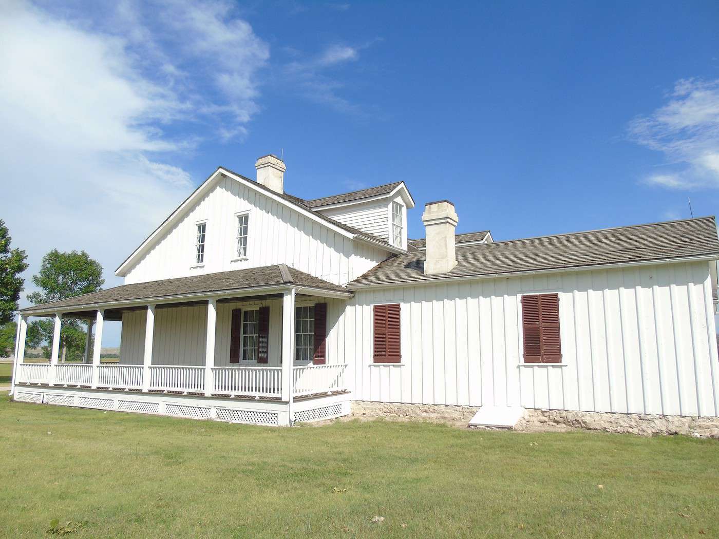
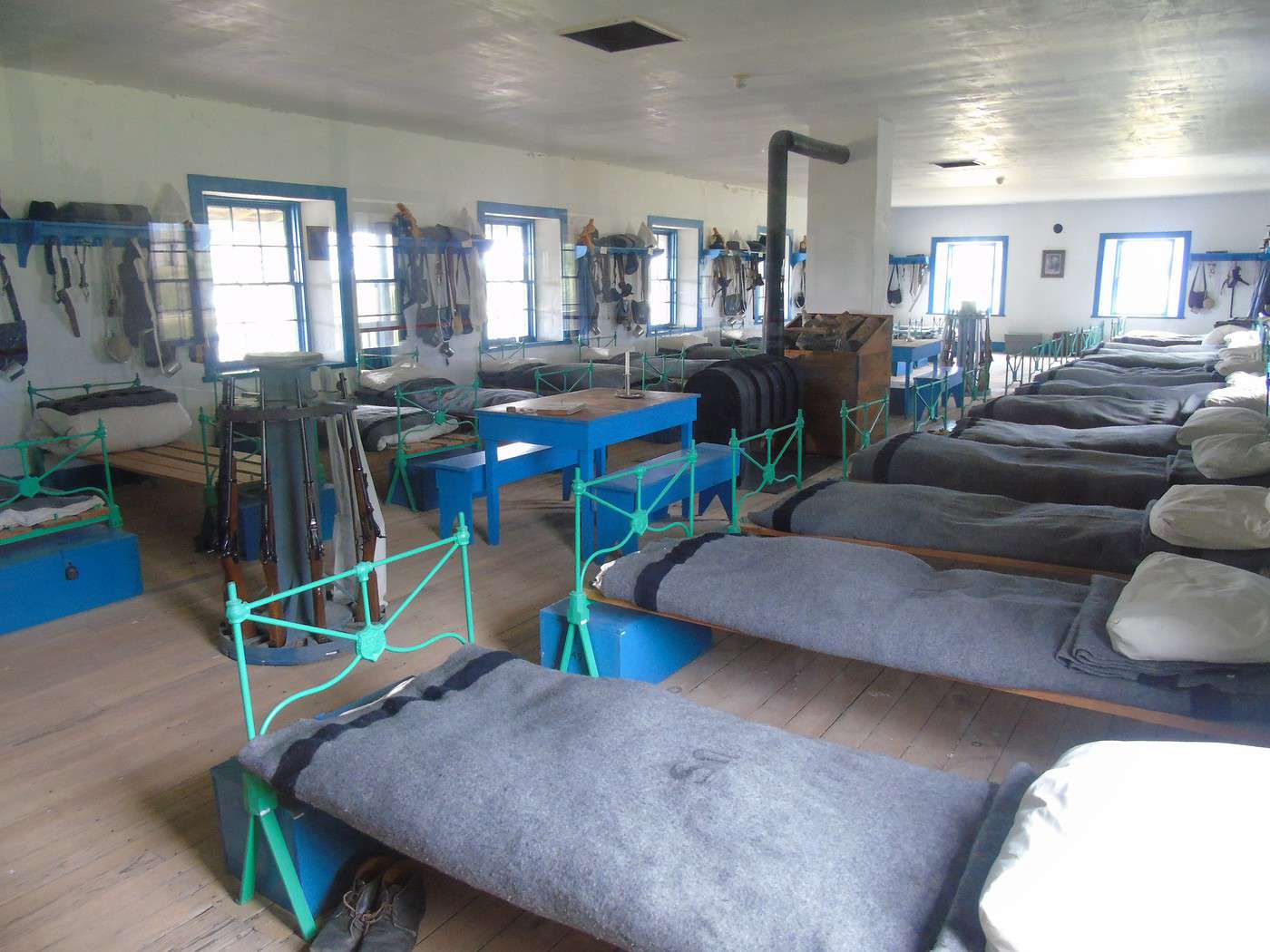
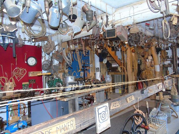
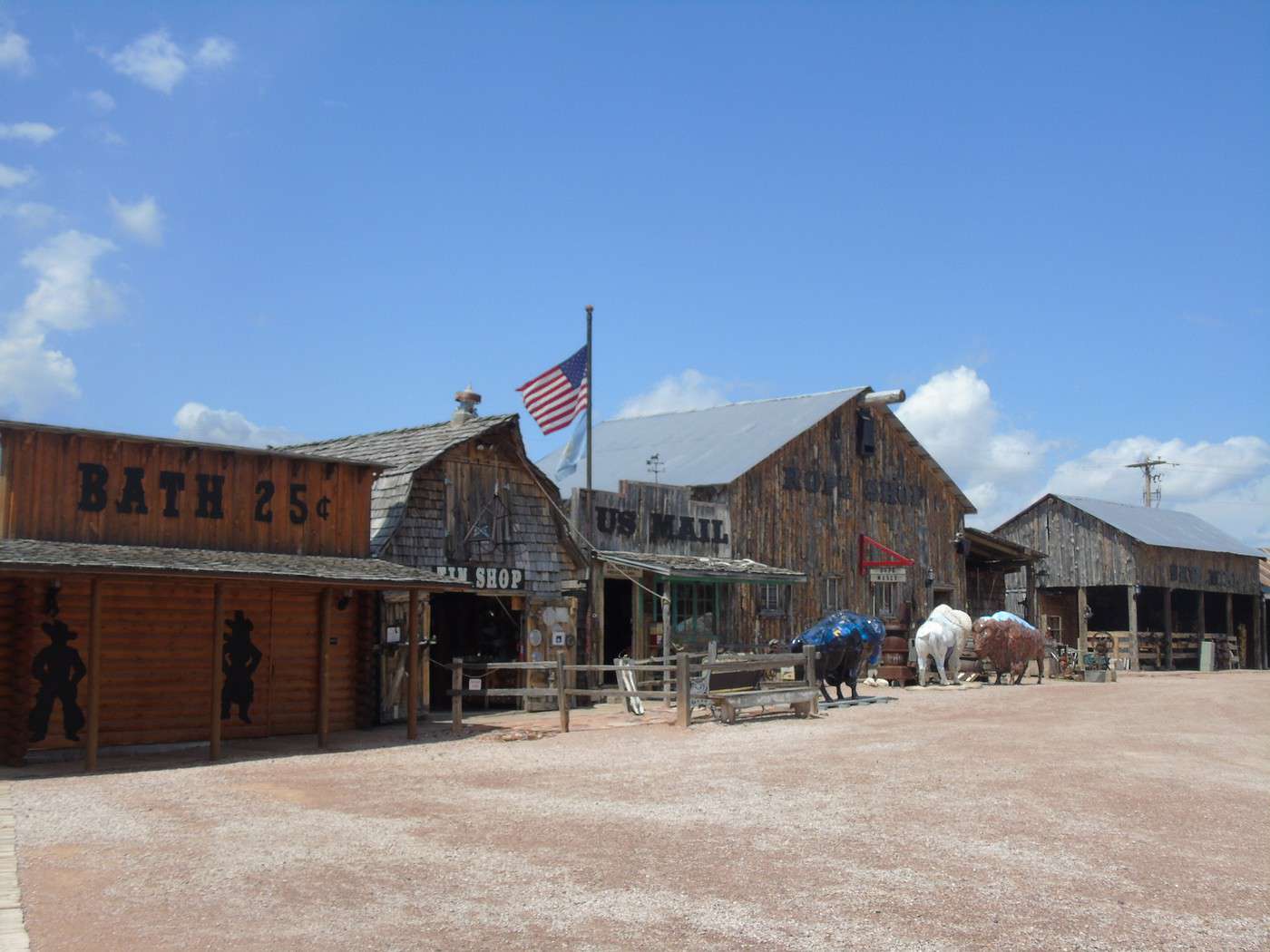
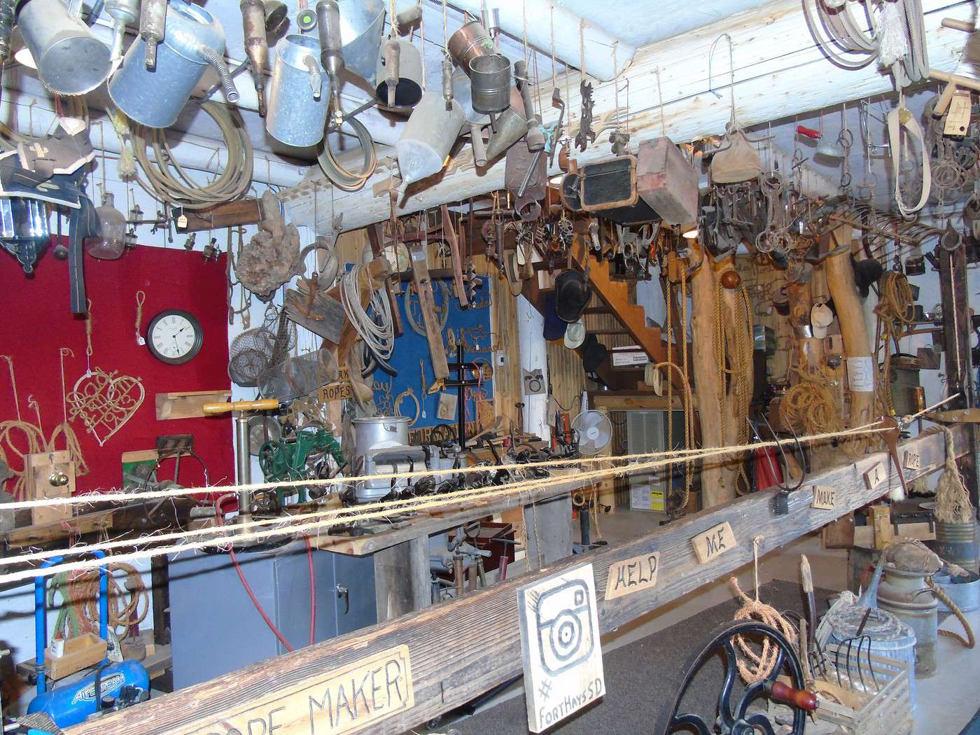
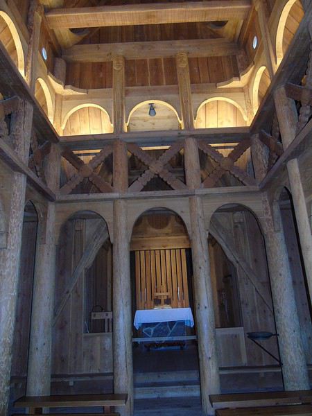 Our next stop was Fort Hays, featuring the sets from the movie *Dances with Wolves*. It felt a bit like a hodgepodge, so we didn’t stay long.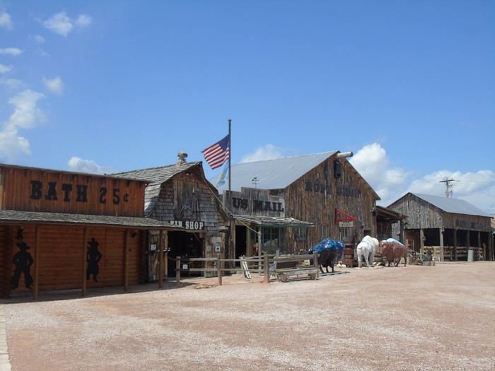
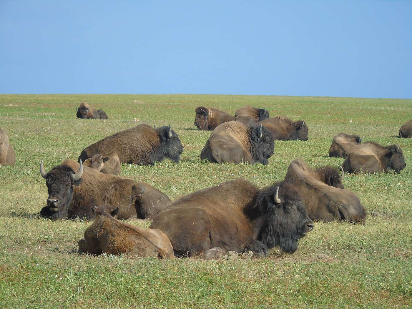
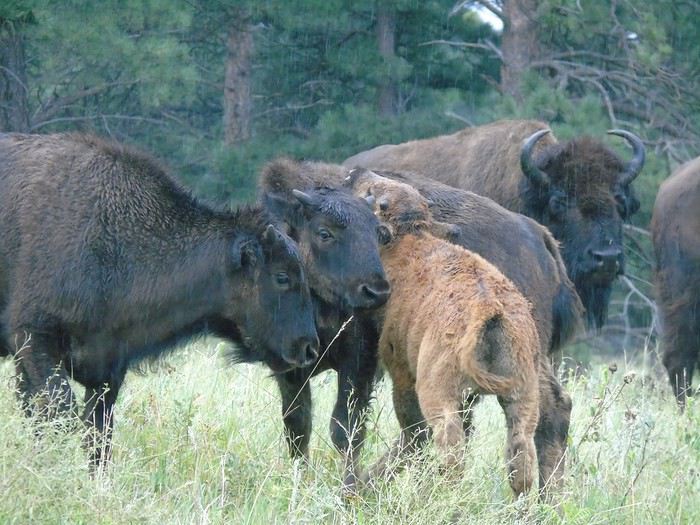
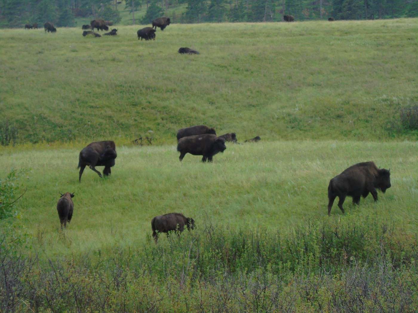
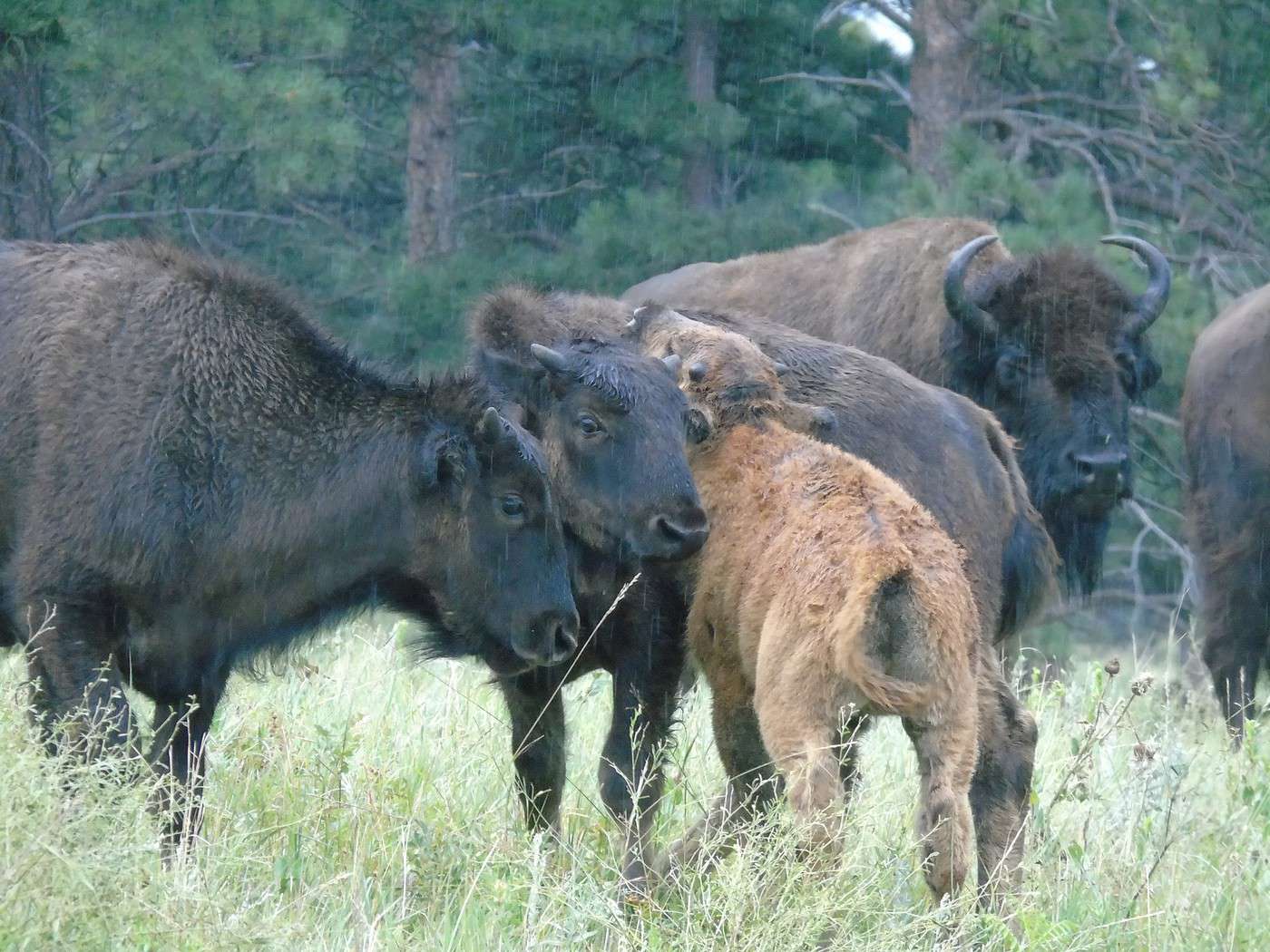
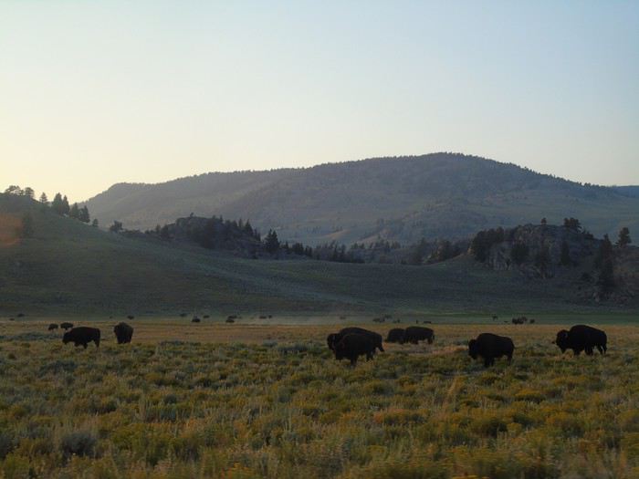
 We headed to the Visitor Center at Custer SP. Entry costs $20 for 7 days, and the national parks pass isn’t accepted. The clouds rolled back in, and the rain followed soon after. We still set out to drive the Wildlife Loop Road. The bison herd was at the start of the loop, unfazed by the rain. Lots of cars stopped to watch them before turning back.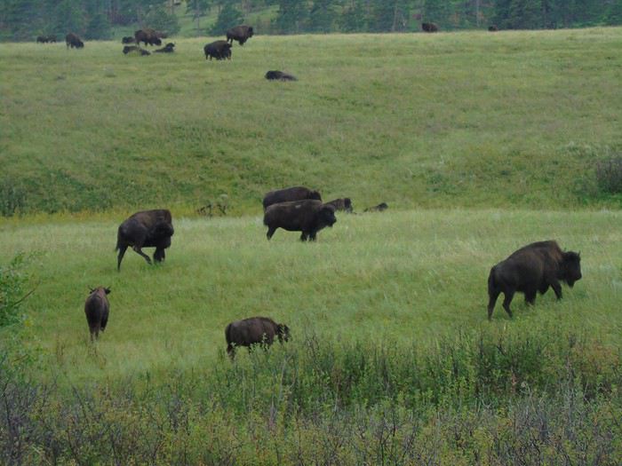
 We continued our drive, hoping to see the burros. We spotted them in the distance, sheltering under a grove of trees. A young girl tried in vain to lure them with food, but they preferred to stay "dry."
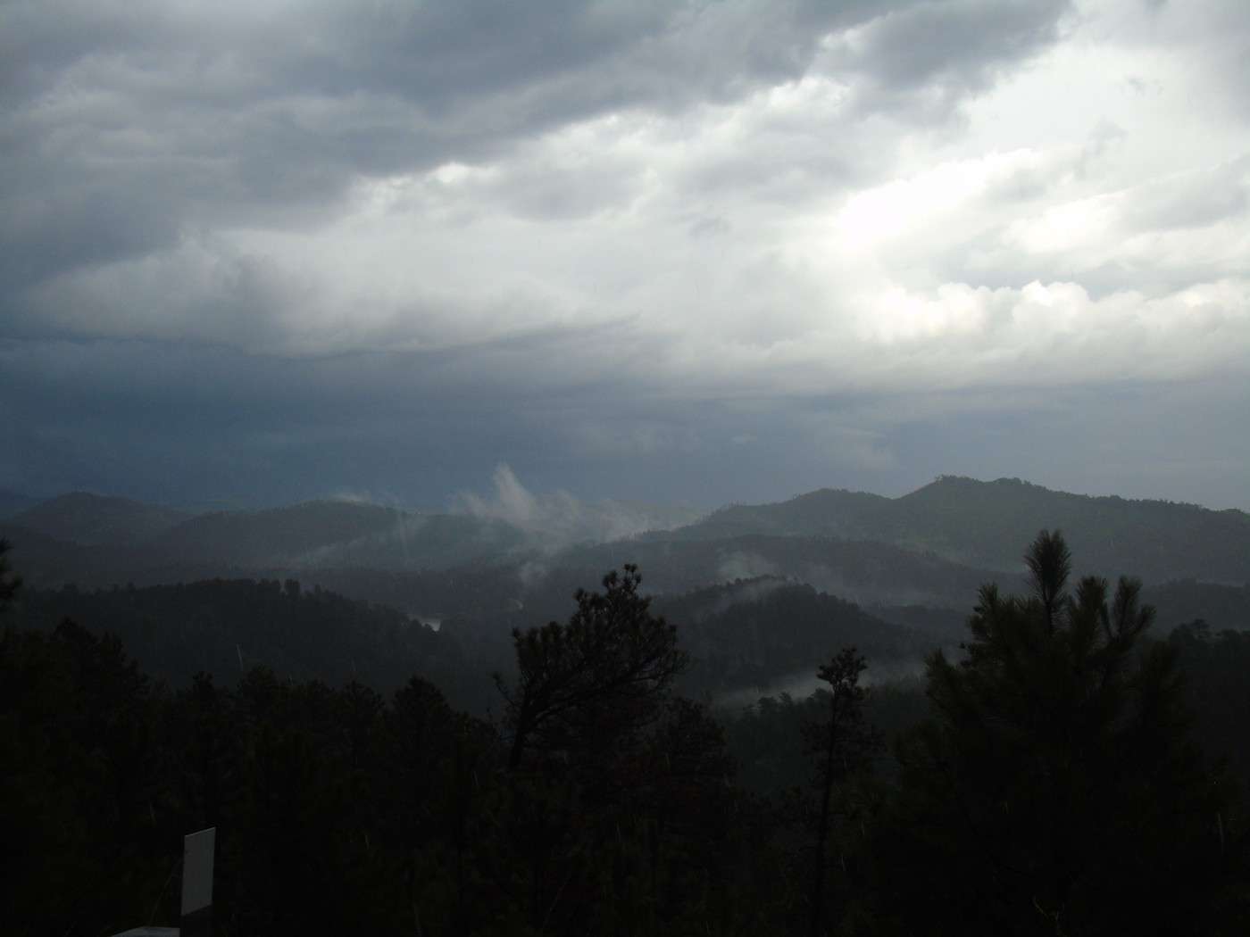
The rain quickly turned into a storm.
We continued our drive, hoping to see the burros. We spotted them in the distance, sheltering under a grove of trees. A young girl tried in vain to lure them with food, but they preferred to stay "dry."
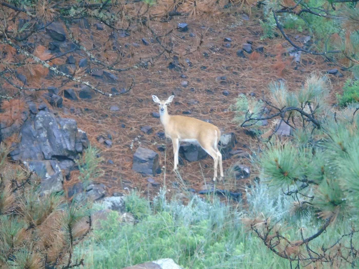
The rain quickly turned into a storm. 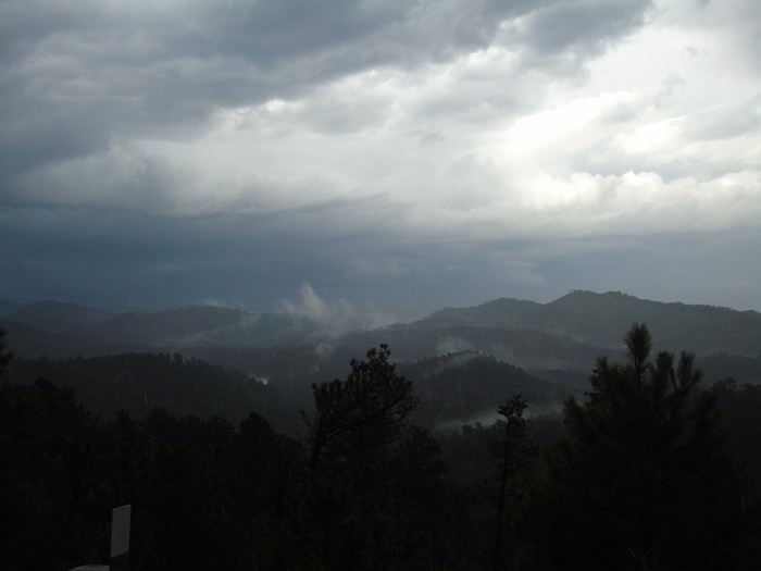 Too bad—this road is lovely, and I’d scoped out some trails to explore further, but they weren’t doable in this weather. We pulled over in a turnout to wait out the worst of the storm, and a deer watched us the whole time.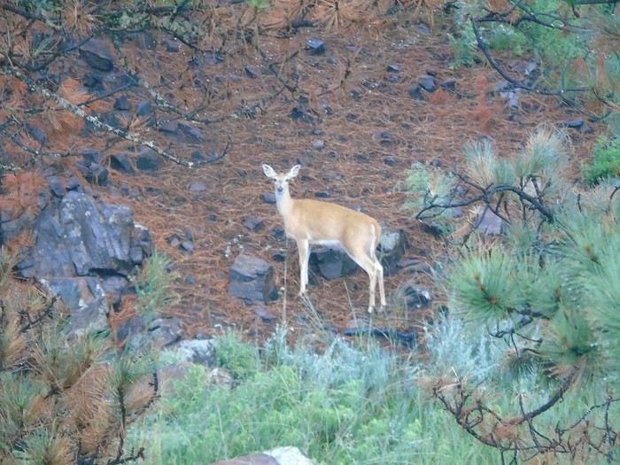
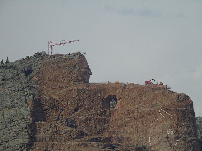 We spent the night at Mount Rushmore KOA at Palmer Gulch Resort (Hill City). It’s a large, well-equipped campground with a pool, hot tub, water slide, equestrian center, restaurant, and laundry. Our cabin was in a wooded area, nice and quiet.
At all the KOAs except the first one, we booked a cabin for 6 without bathrooms. The restrooms were always nearby and well-maintained. The sites had a picnic table and a fire pit. Prices ranged from 75 to 90 € per night, depending on the campground. KOAs are often criticized for being near roads, which is usually true, but we weren’t bothered by traffic noise (though it might be different for tent campers). With kids, this type of accommodation is great—there’s a pool, games, they can run around outside, and a good campfire is always a nice way to end the day. Don’t forget your sleeping bag, as linens aren’t included (though they can usually be rented).
We spent the night at Mount Rushmore KOA at Palmer Gulch Resort (Hill City). It’s a large, well-equipped campground with a pool, hot tub, water slide, equestrian center, restaurant, and laundry. Our cabin was in a wooded area, nice and quiet.
At all the KOAs except the first one, we booked a cabin for 6 without bathrooms. The restrooms were always nearby and well-maintained. The sites had a picnic table and a fire pit. Prices ranged from 75 to 90 € per night, depending on the campground. KOAs are often criticized for being near roads, which is usually true, but we weren’t bothered by traffic noise (though it might be different for tent campers). With kids, this type of accommodation is great—there’s a pool, games, they can run around outside, and a good campfire is always a nice way to end the day. Don’t forget your sleeping bag, as linens aren’t included (though they can usually be rented). 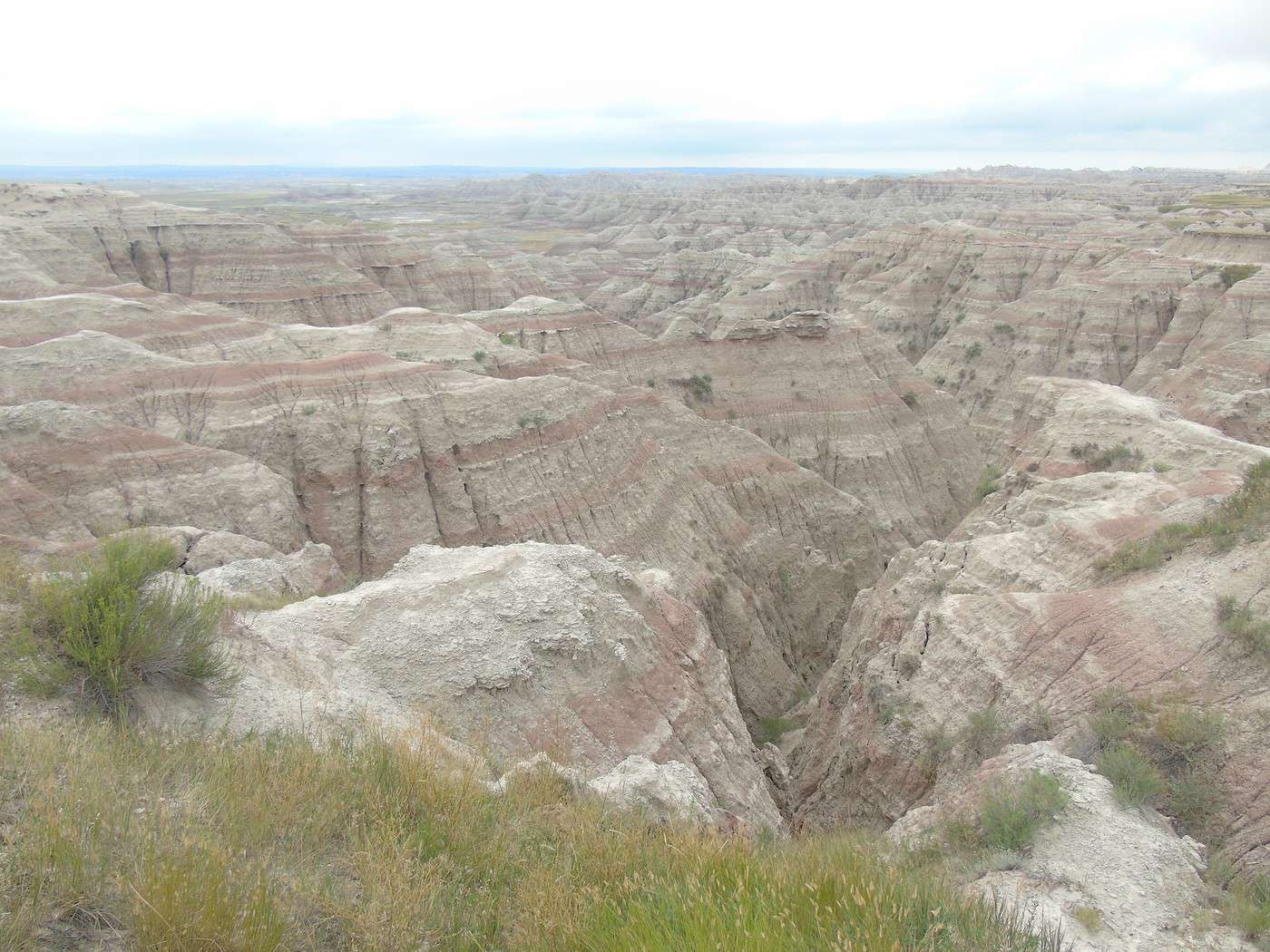
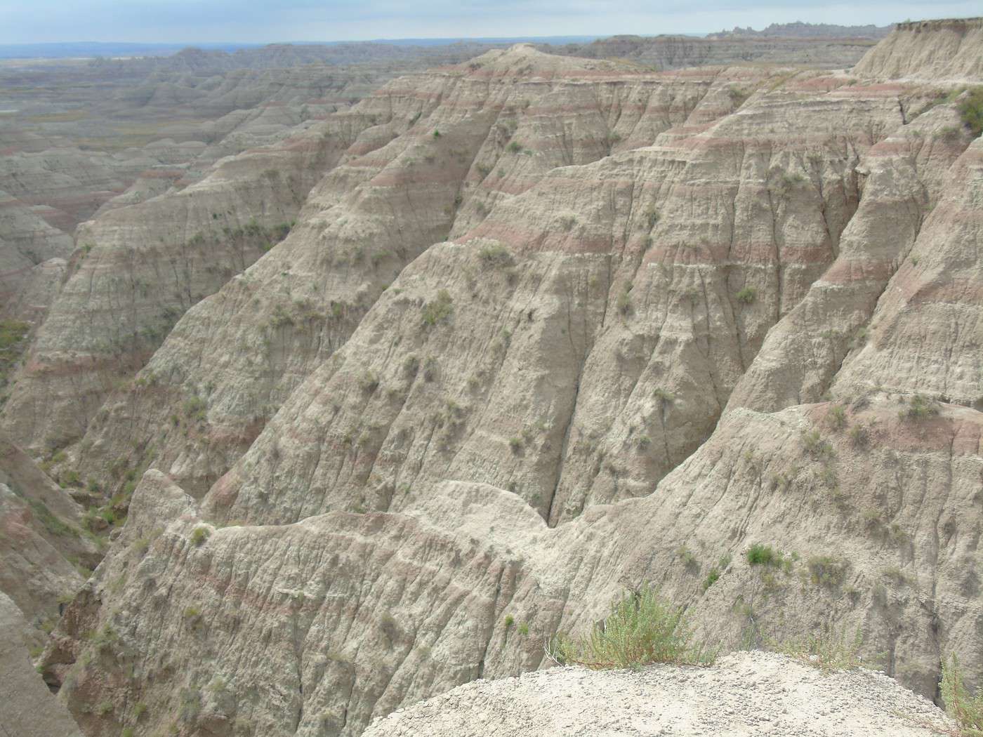
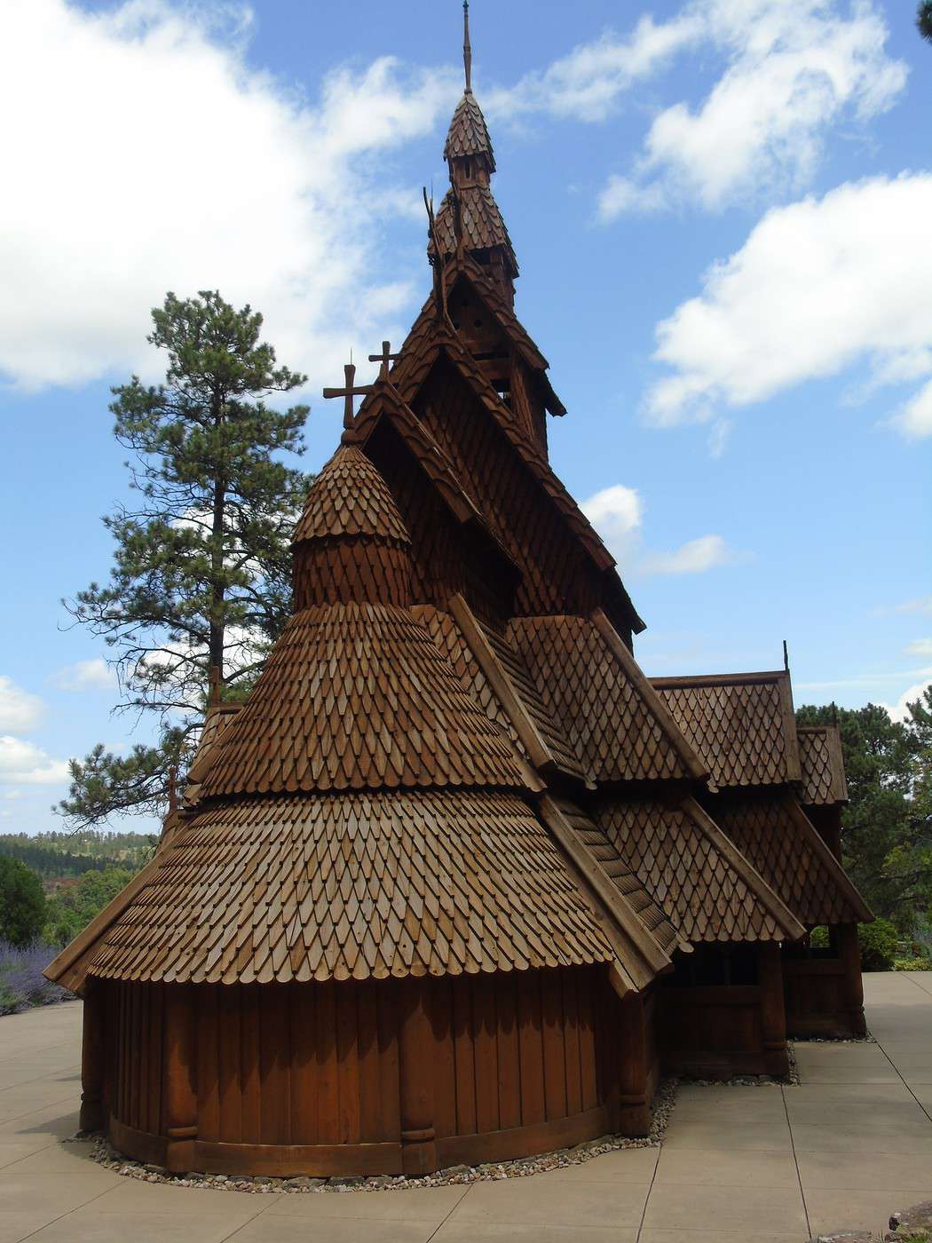
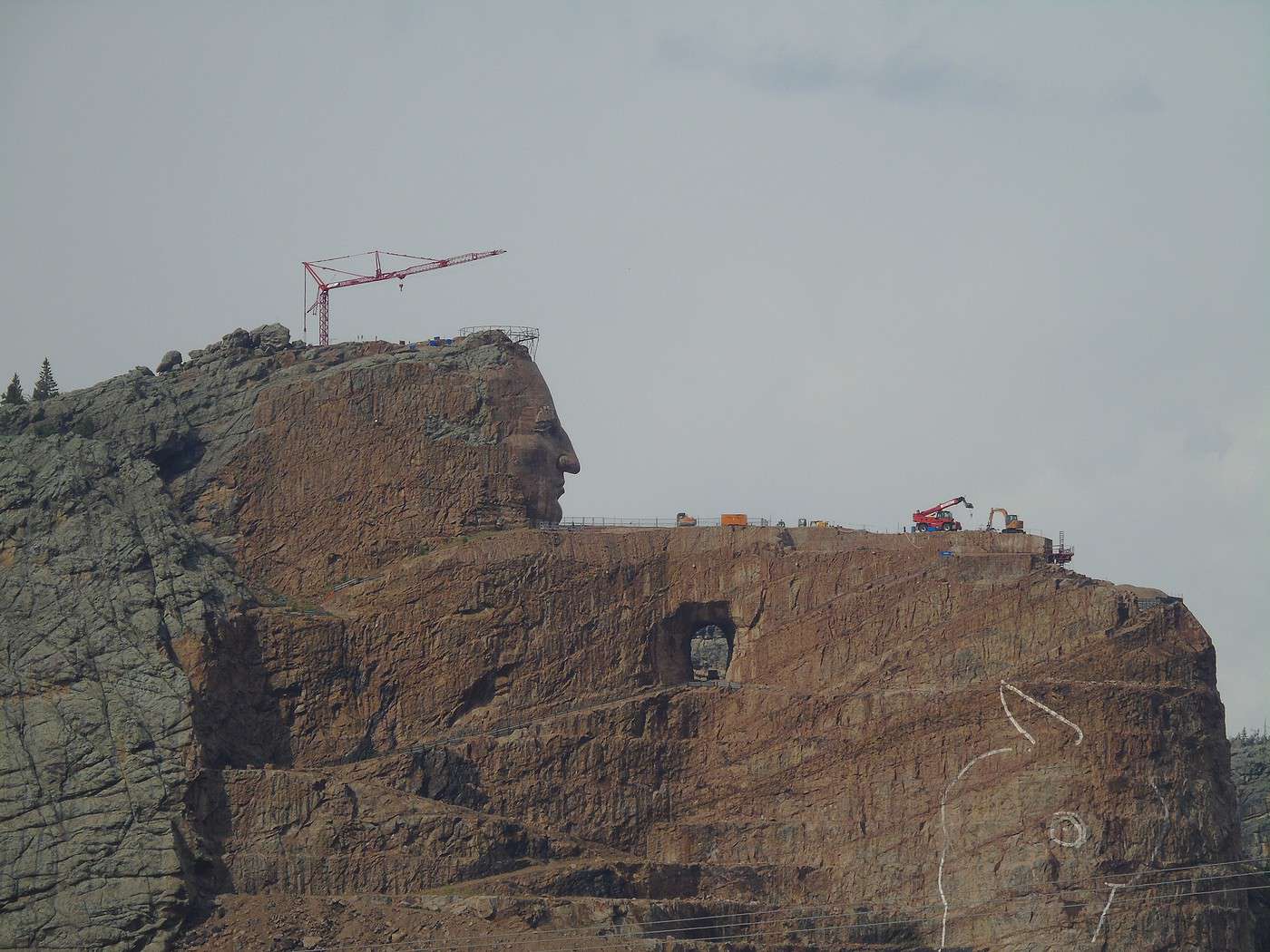
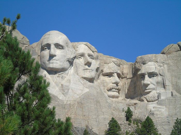
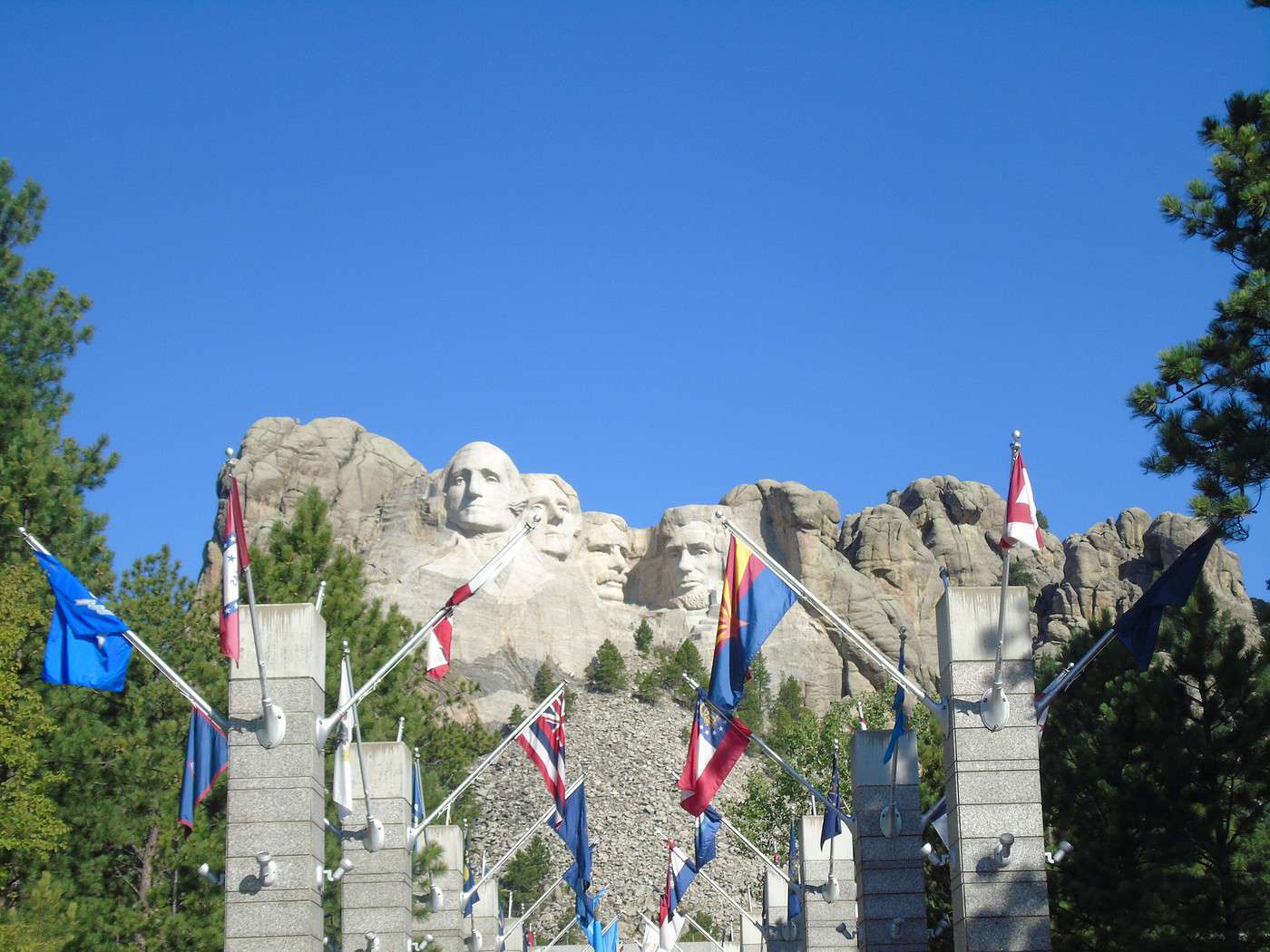
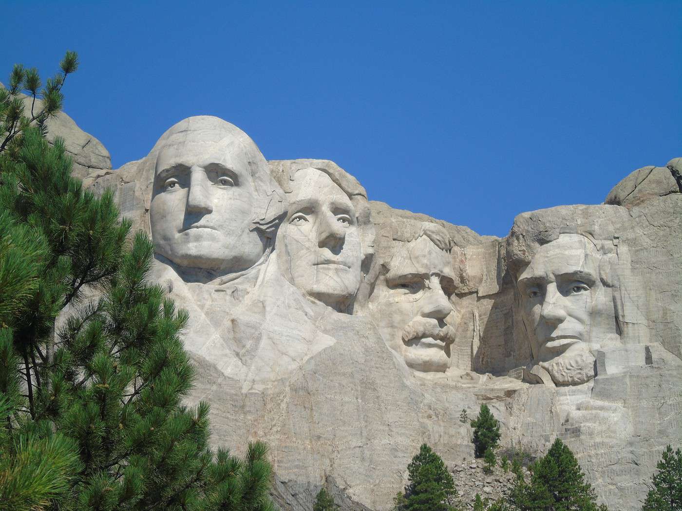
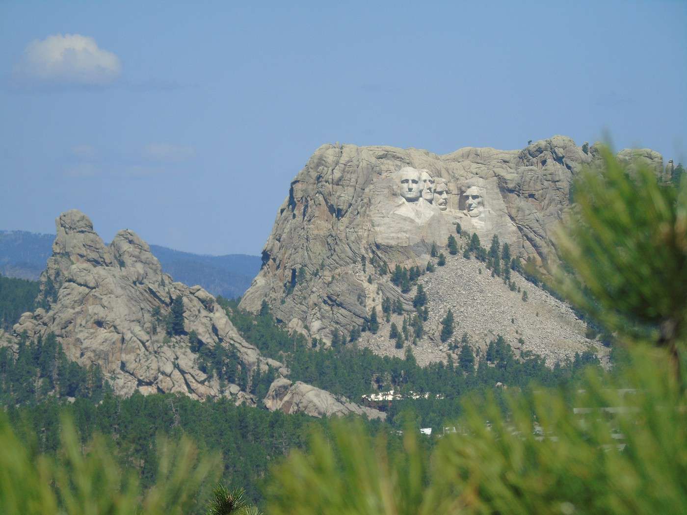
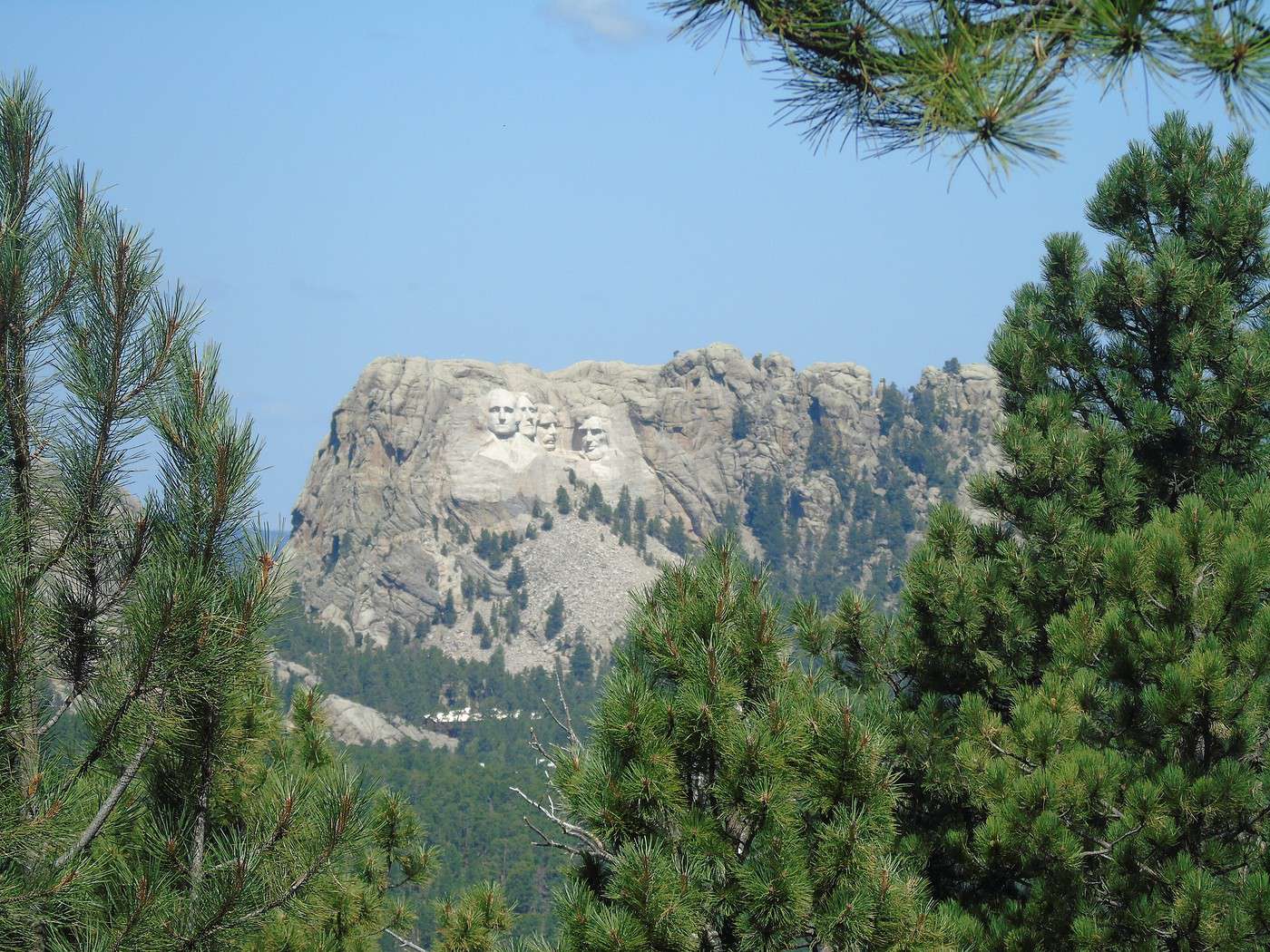
 The parking costs $10 and is valid for 1 year. Entry to the site is free. The Presidential Trail loop is partly closed, and the Sculptor's Studio is inaccessible. There aren’t many people around at this early hour, so we do a round trip that brings us closer to the sculpted heads (George Washington, Thomas Jefferson, Theodore Roosevelt, and Abraham Lincoln). The site turns out to be less impressive than I expected. I even found the place quite cold. That said, it *is* a memorial—we shouldn’t forget that. We plan to come back this evening for the site’s illumination ceremony. Maybe our feelings will be different then...
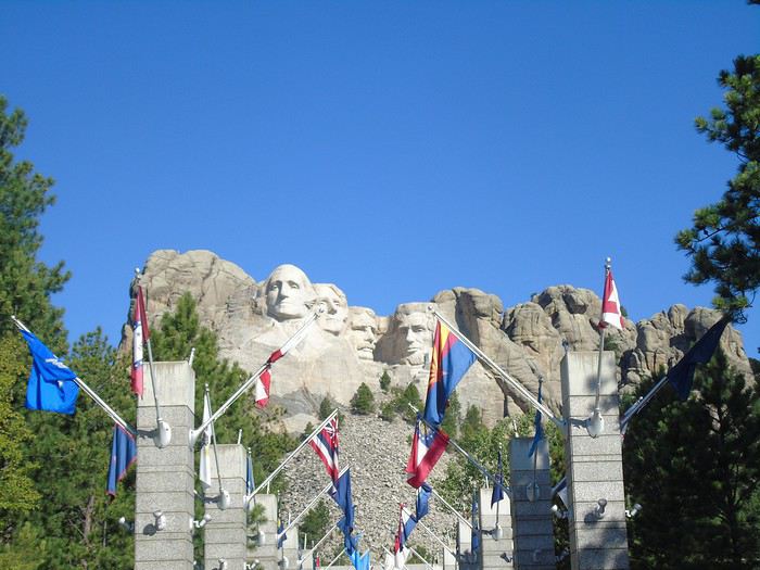
  Avenue of Flags:
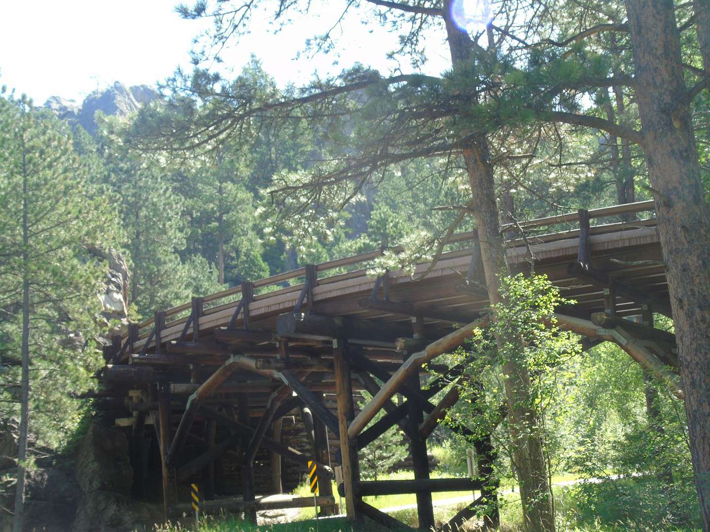
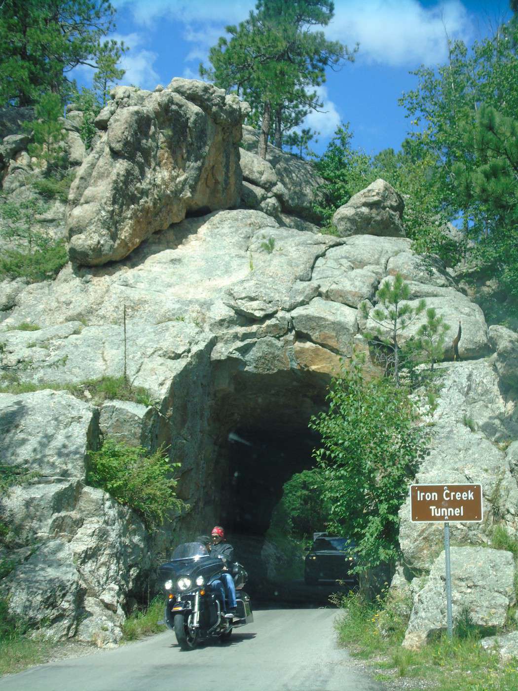
  We head back to Custer State Park via Iron Mountain Road. A really beautiful route with "pigtail" bridges (a looped bridge system that gains altitude over a very short distance) and narrow tunnels.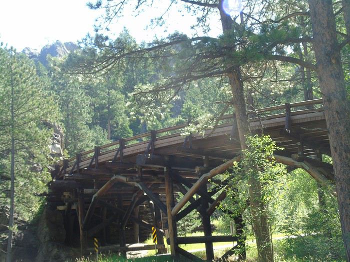
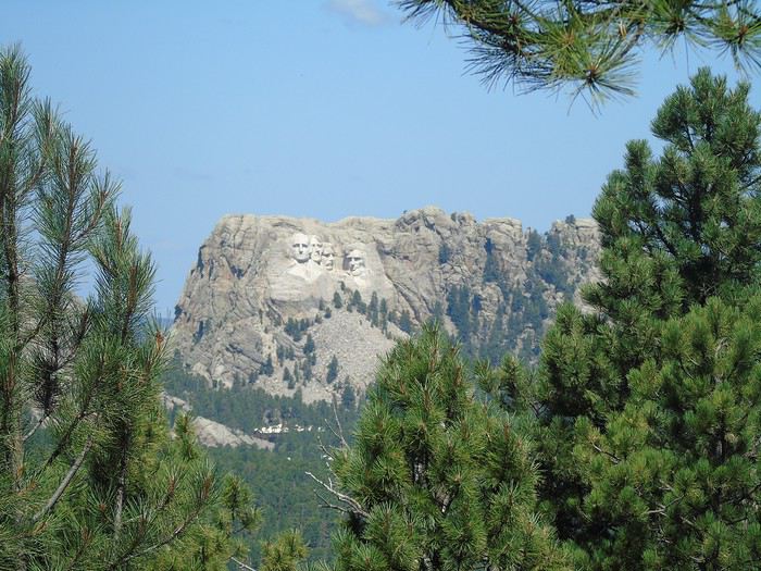
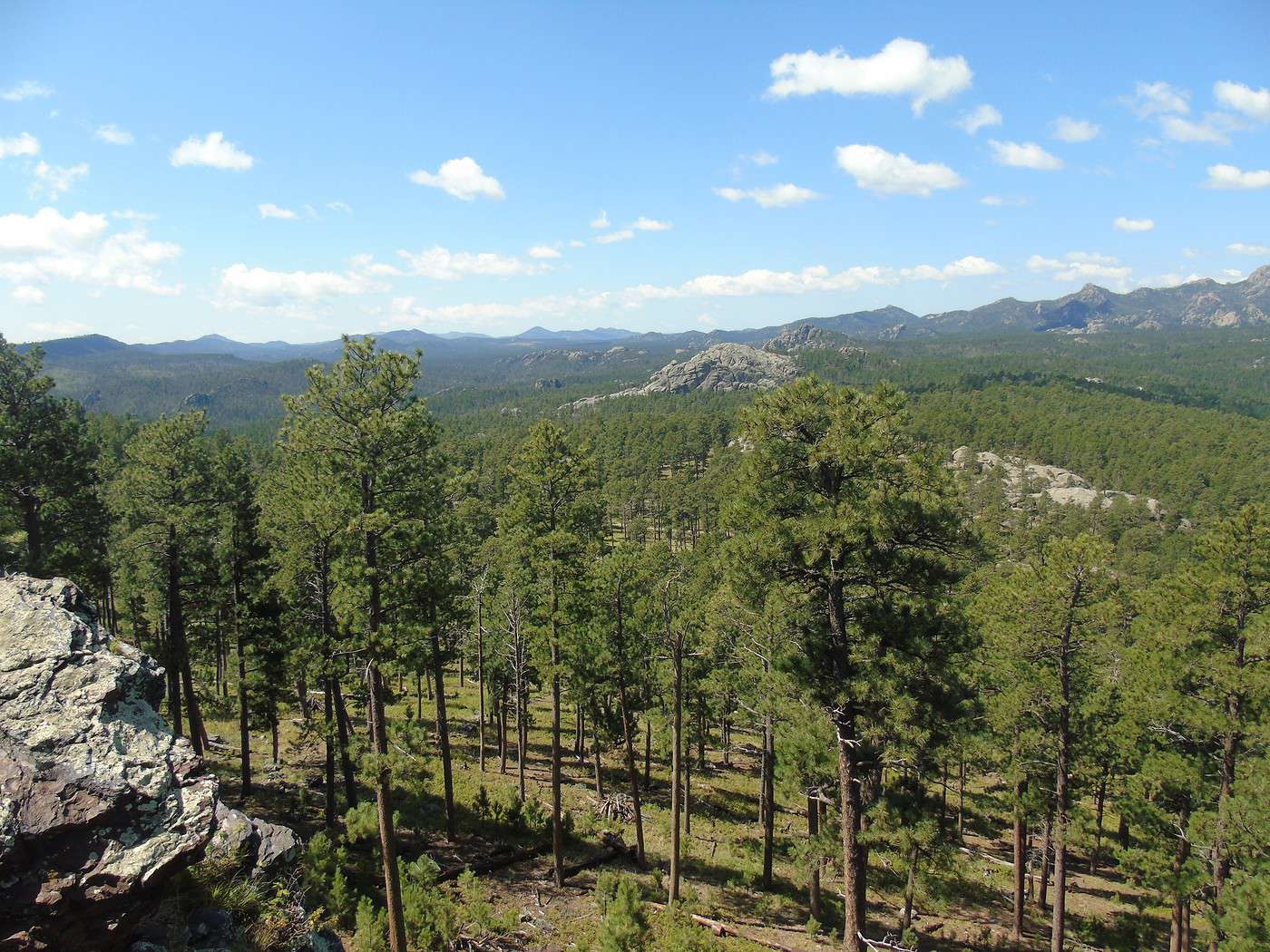
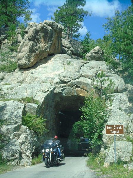 We spot a few deer. Gorgeous views of the Black Hills from the overlooks, where the heads are still clearly visible. A very pleasant, wooded road.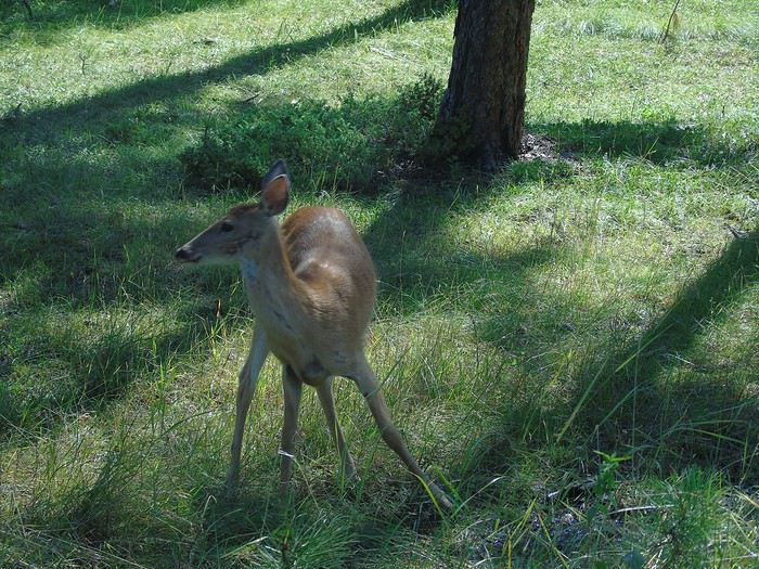
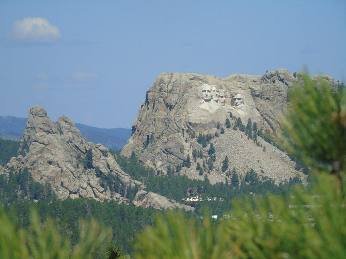
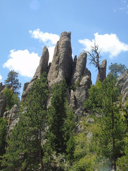
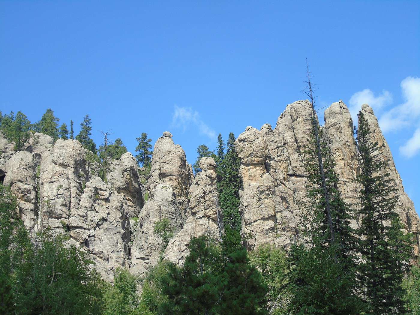
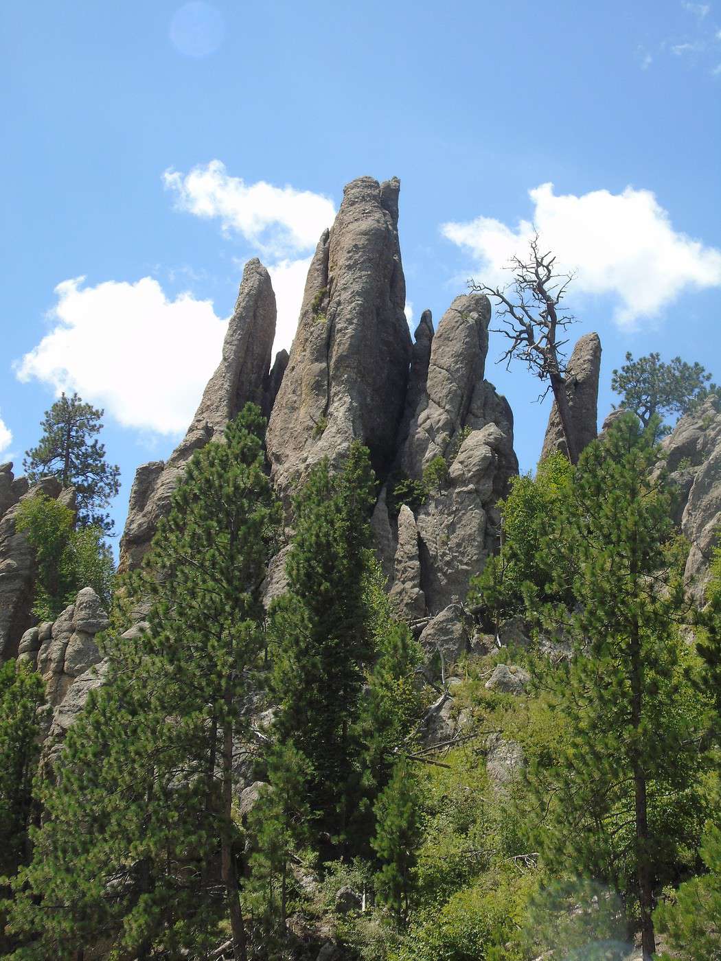
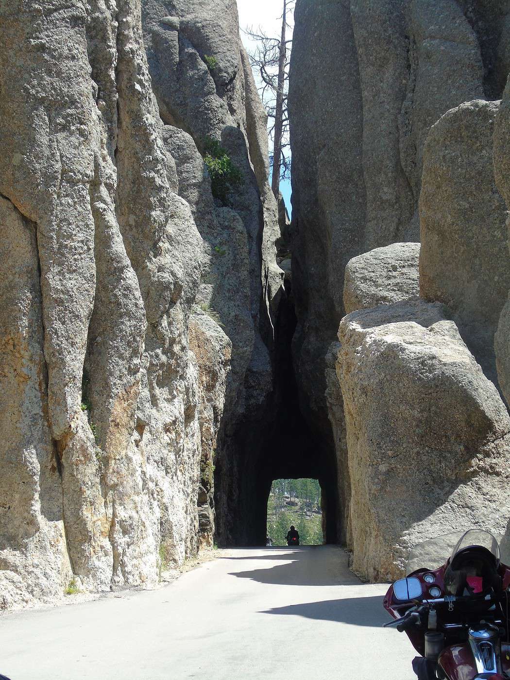
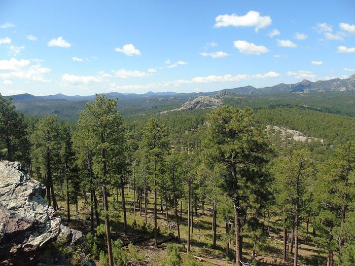 We continue along the Needles Highway. The landscape is different here—tunnels are even narrower, and the car barely fits. Fortunately, there aren’t too many people, so no waiting to pass through the tunnels. Drivers are courteous, which is a nice change! There are also overlooks where you can admire the scenery, including granite needles.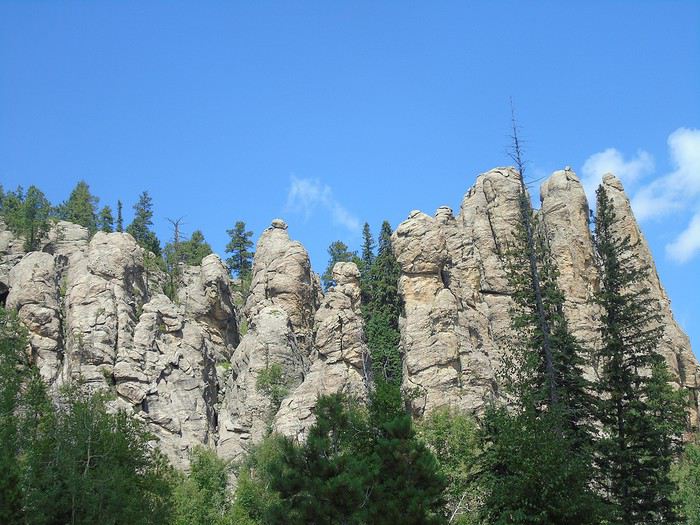
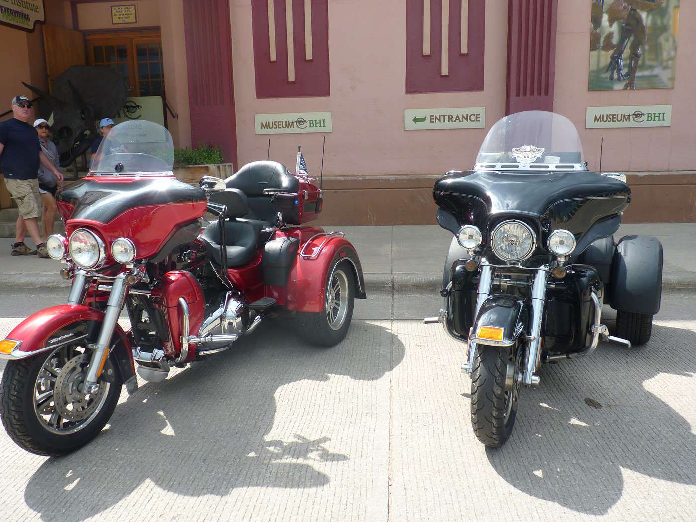
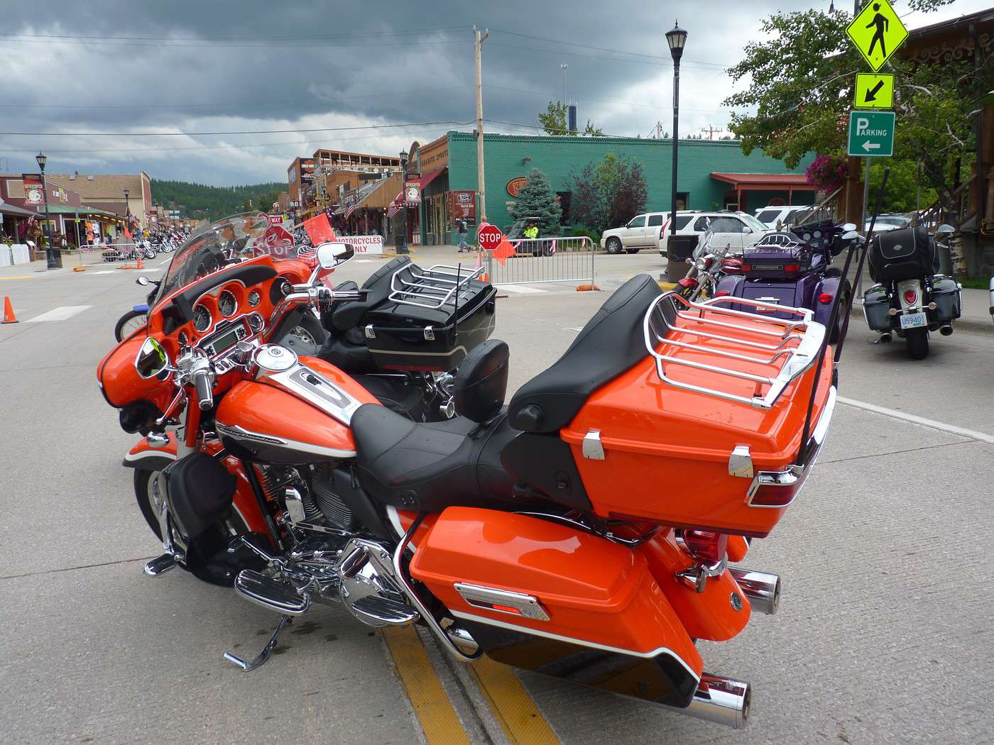
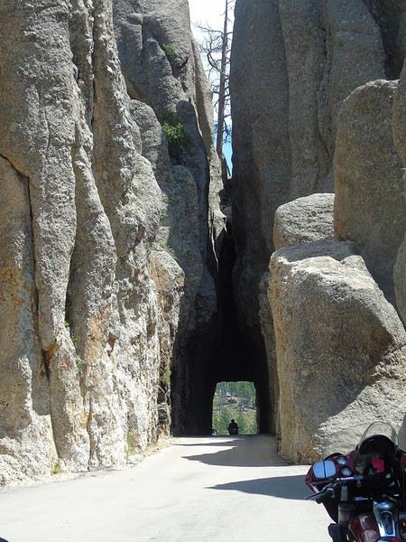 After reading some travel journals, we’d braced ourselves for lots of motorcycles, since the Sturgis rally starts in a few days. We *did* see plenty of Harleys, but we were still able to stop at the overlooks without any issues.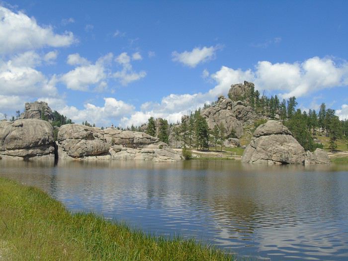
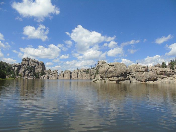
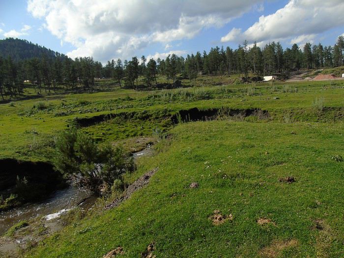
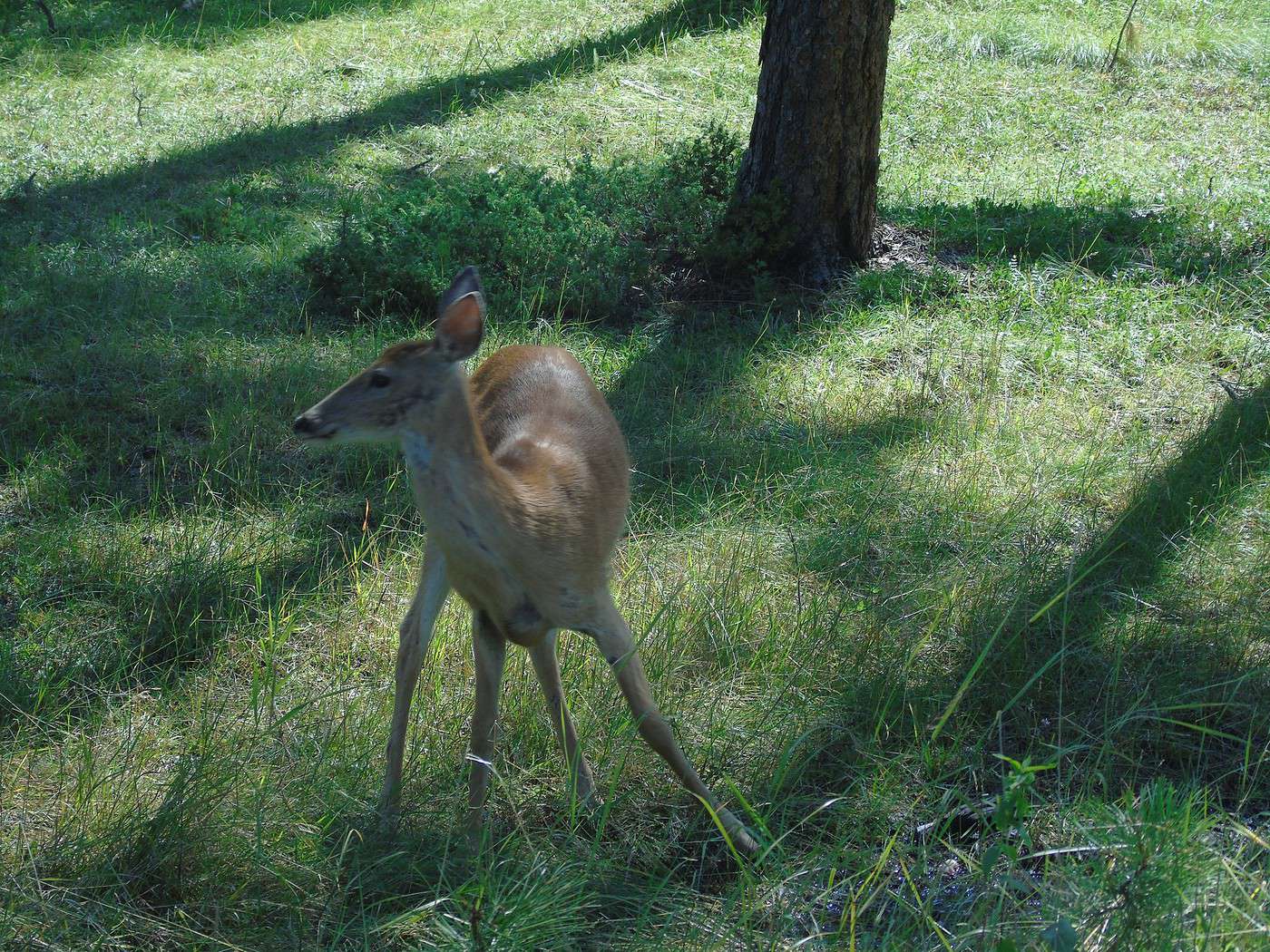
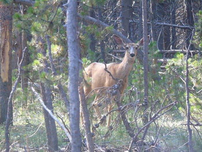
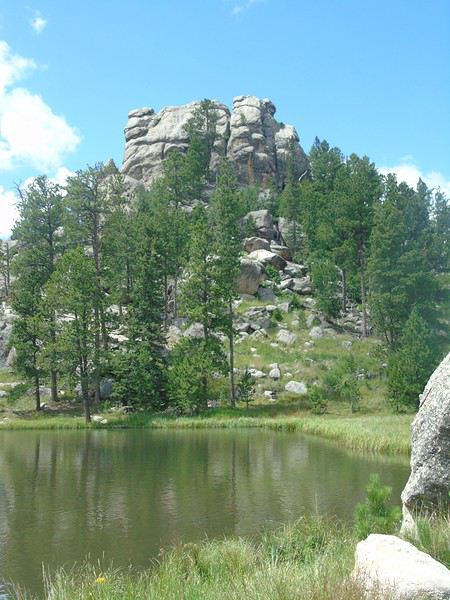 In the late afternoon, we go horseback riding with the campsite’s equestrian center (1.5 hours, $50 per person). There are just the six of us with the guide. The whole ride is at a walk, which suits my husband and me just fine—neither of us has ever ridden before. The kids, who have some experience, would’ve preferred a faster pace. The scenery is pretty, mostly forests and meadows with views of the surrounding mountains. We spot two deer, as well as a doe and her fawn. A peaceful, quiet moment—we really enjoyed this little break.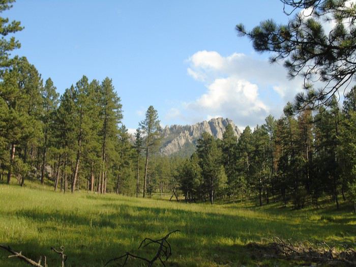

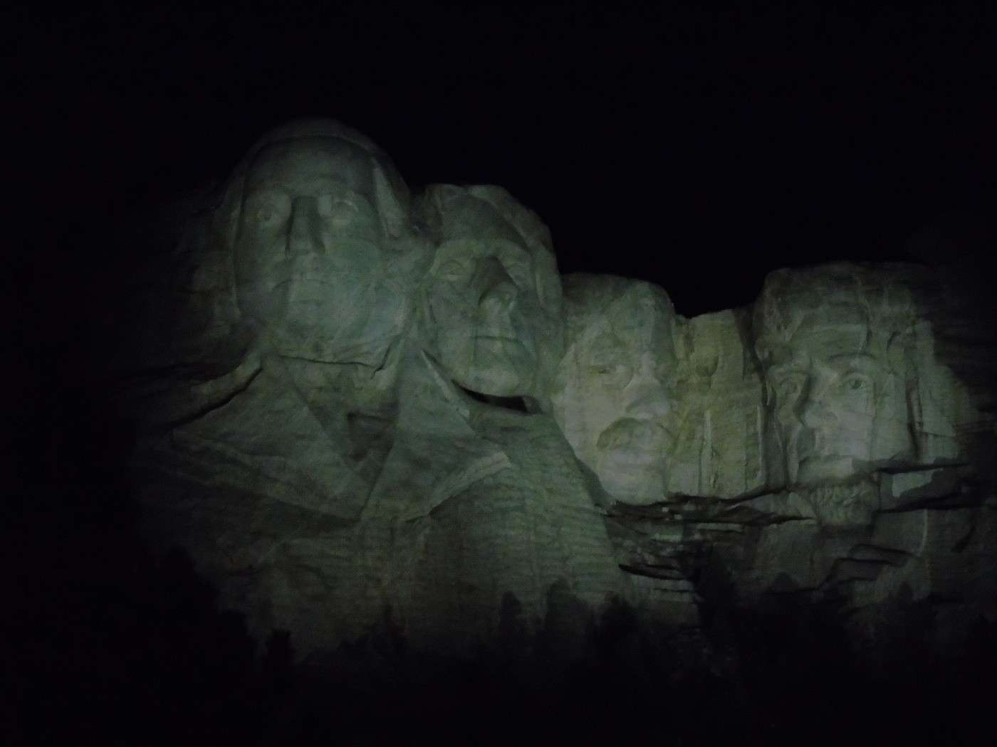
 After a pool break and despite a late dinner, we decide to go see Mount Rushmore illuminated. We arrive at the end of the ceremony. The heads light up. Disappointment—the lighting is all white, almost pale. We probably should’ve watched the whole ceremony to feel the emotion of the moment. No matter what, we just didn’t connect with this place. It happens!
 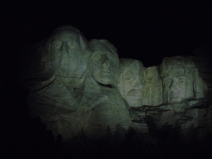 Sorry for the photo quality—it’s still way better in person!
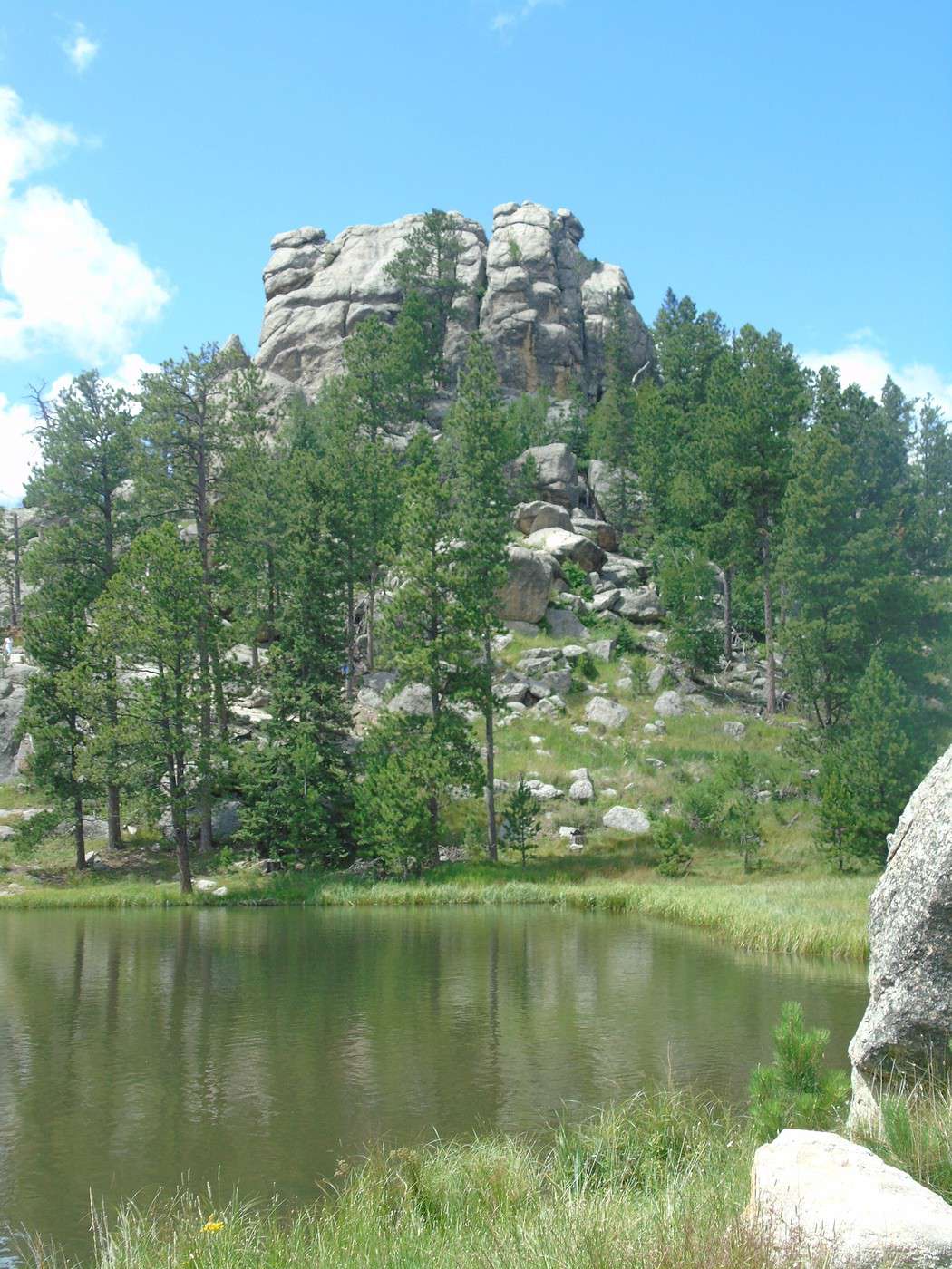
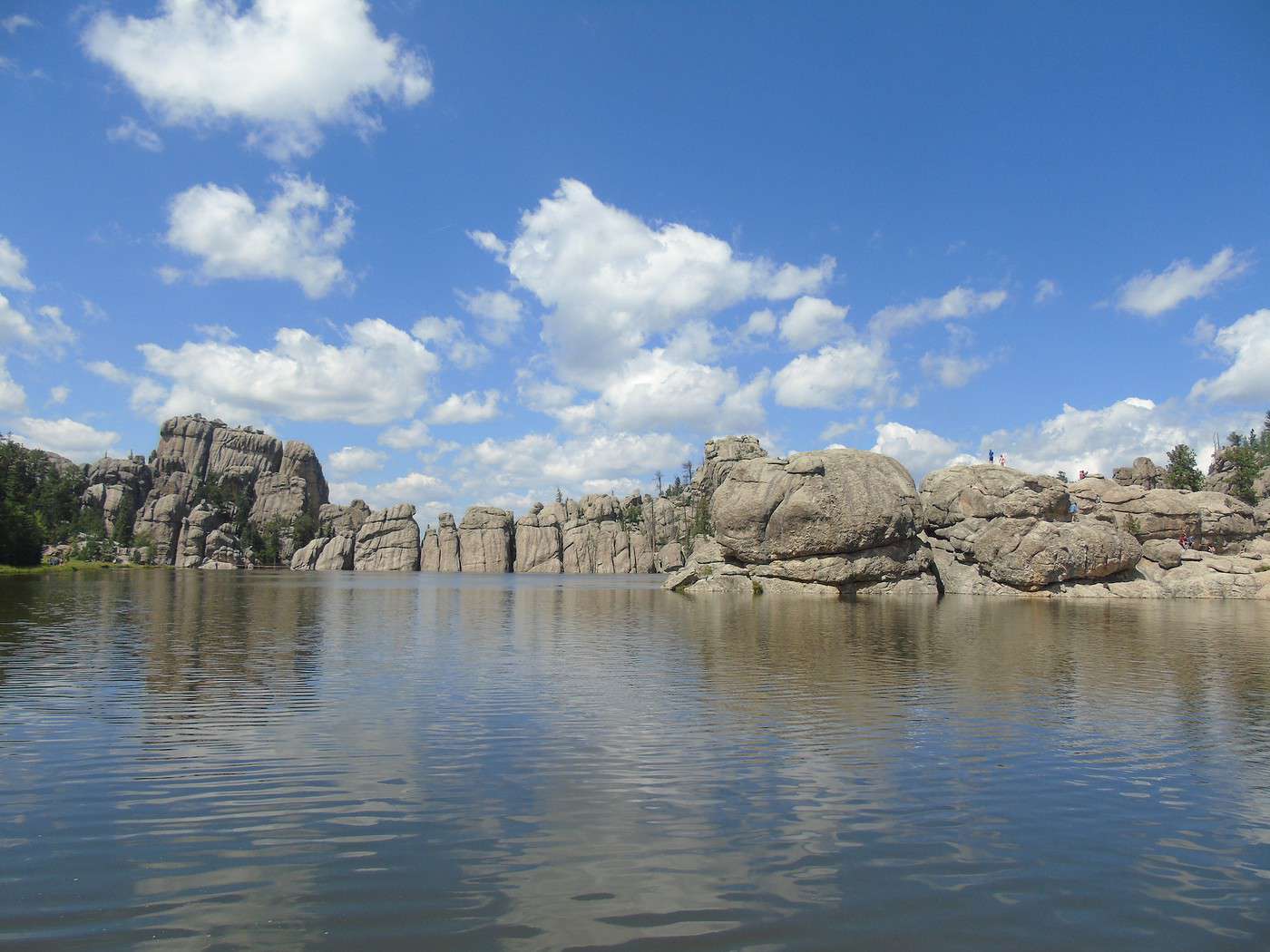
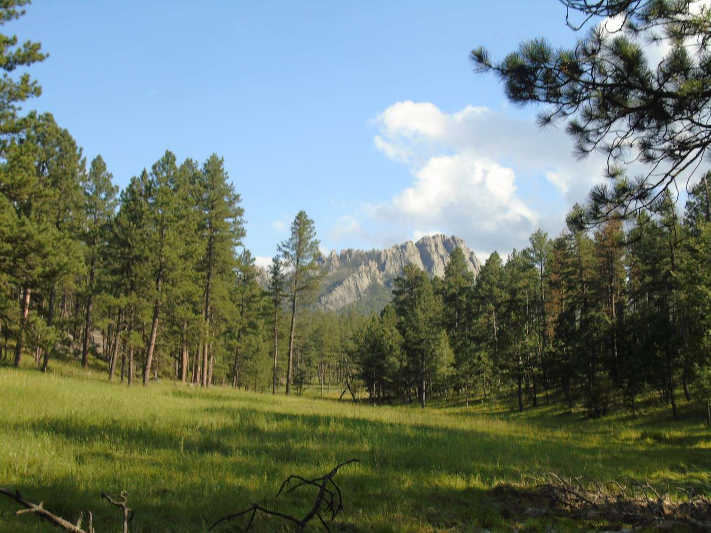
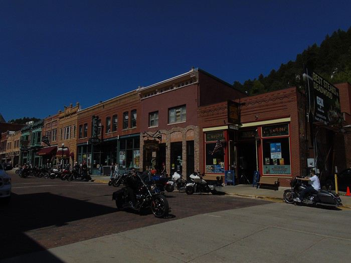
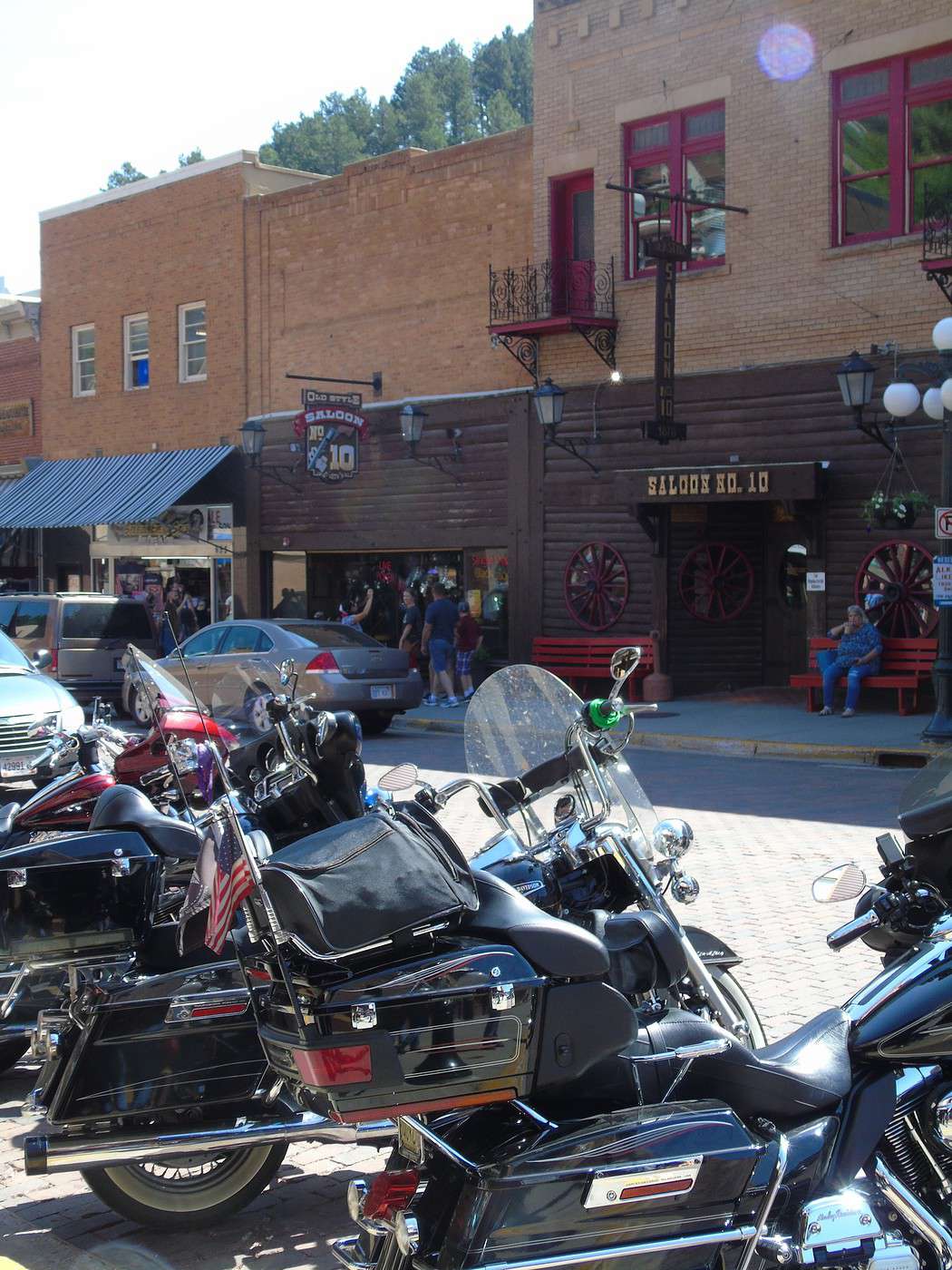
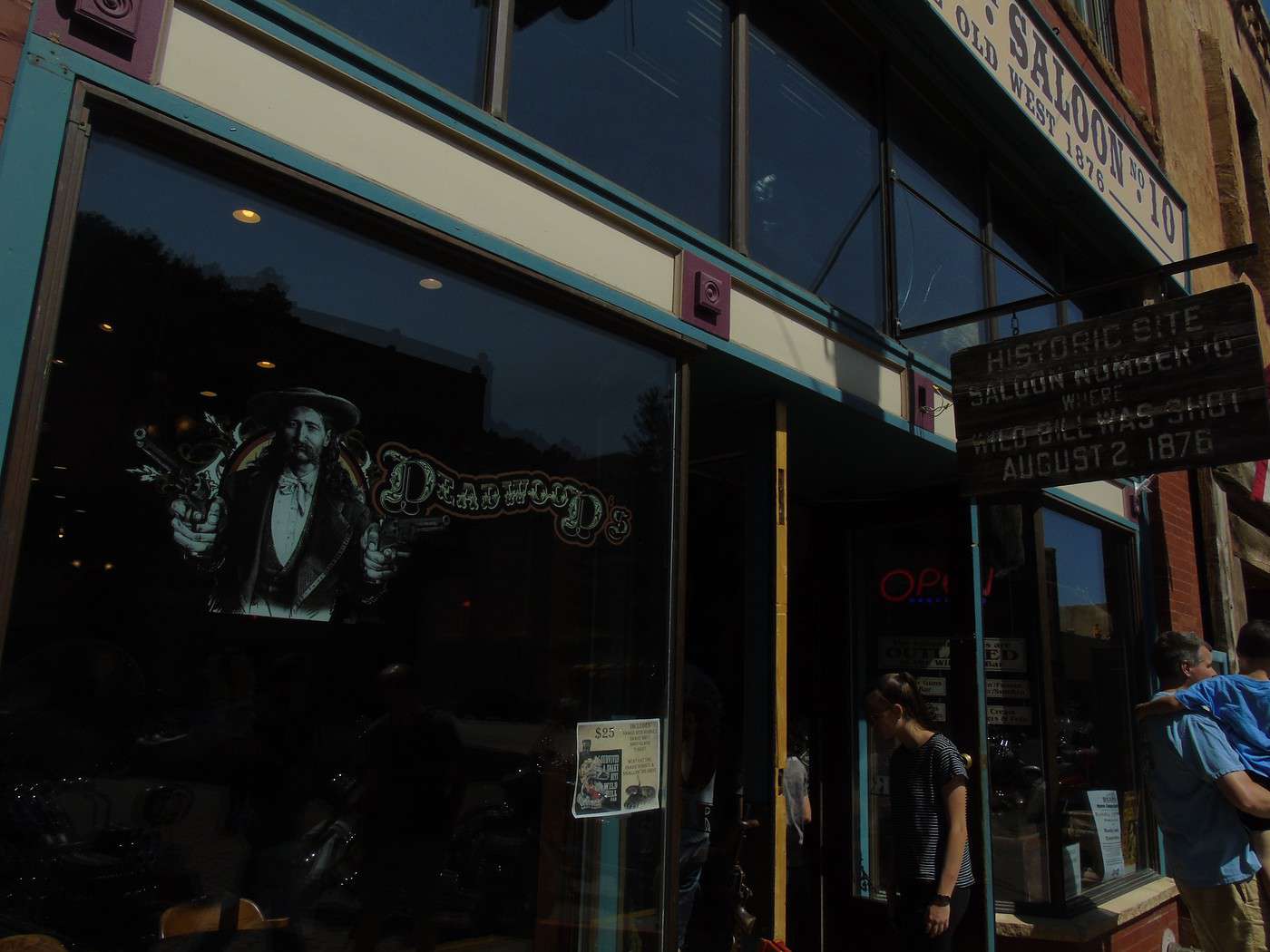
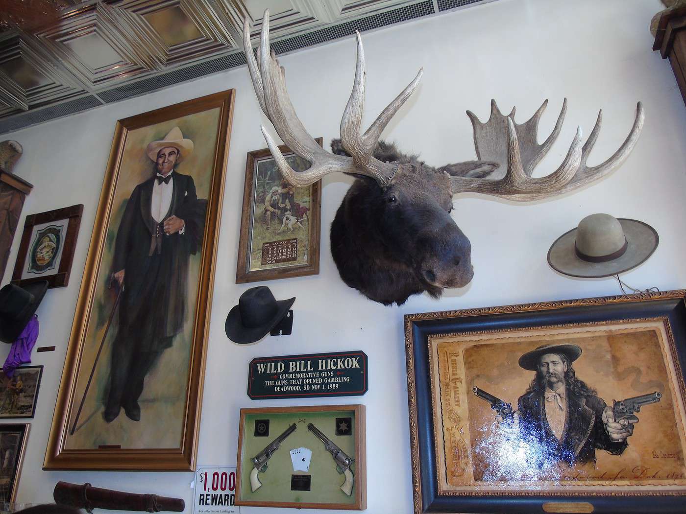
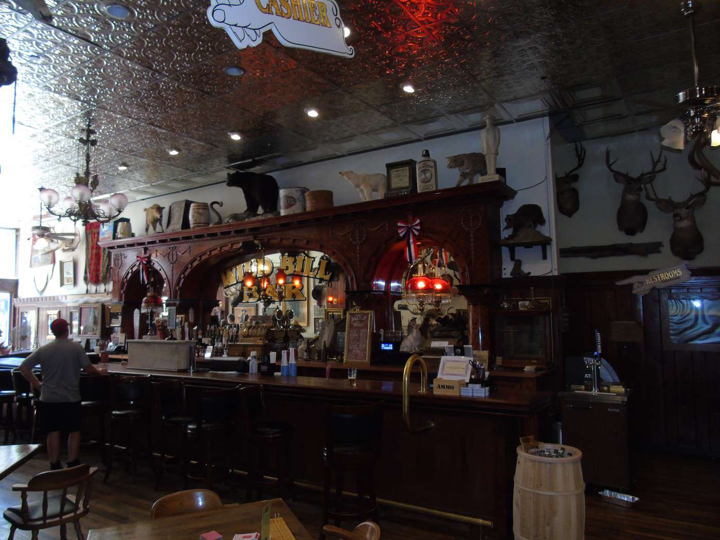
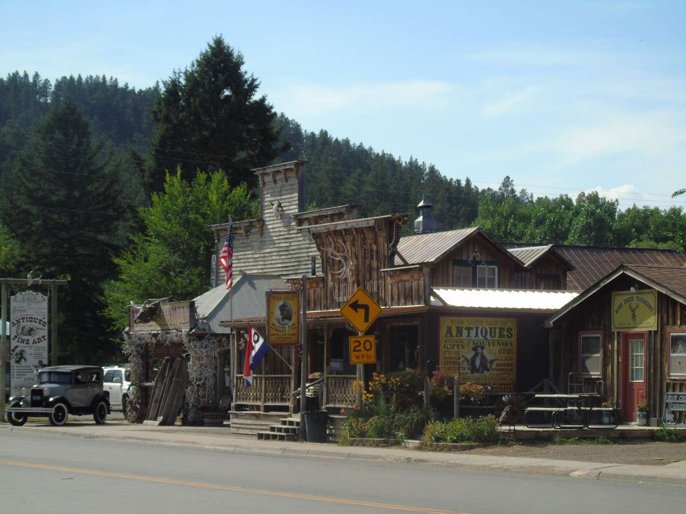
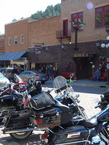 We’d planned a short stop since the day was packed and reviews of the town hadn’t exactly blown us away. Our main point of interest was visiting the mine. The round trip down this street—though not long—ended up taking quite a bit of time. We loved the "Old West" atmosphere. We stopped in a bunch of shops, from the photographer’s studio to the "saloons," where you can often go in to take photos even if you’re not ordering anything (donations welcome).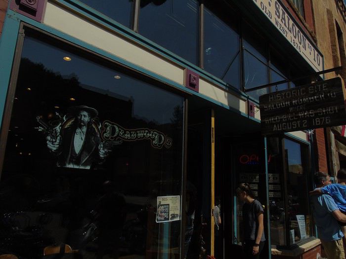
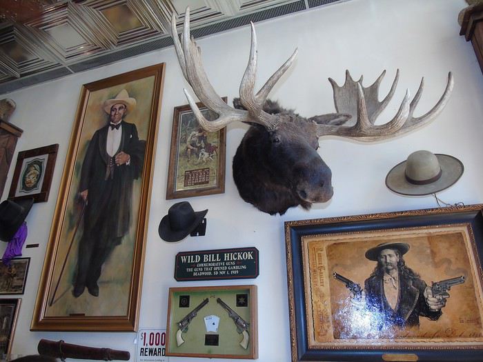
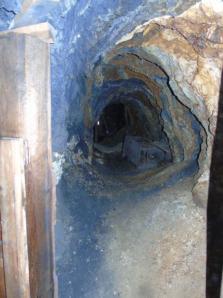
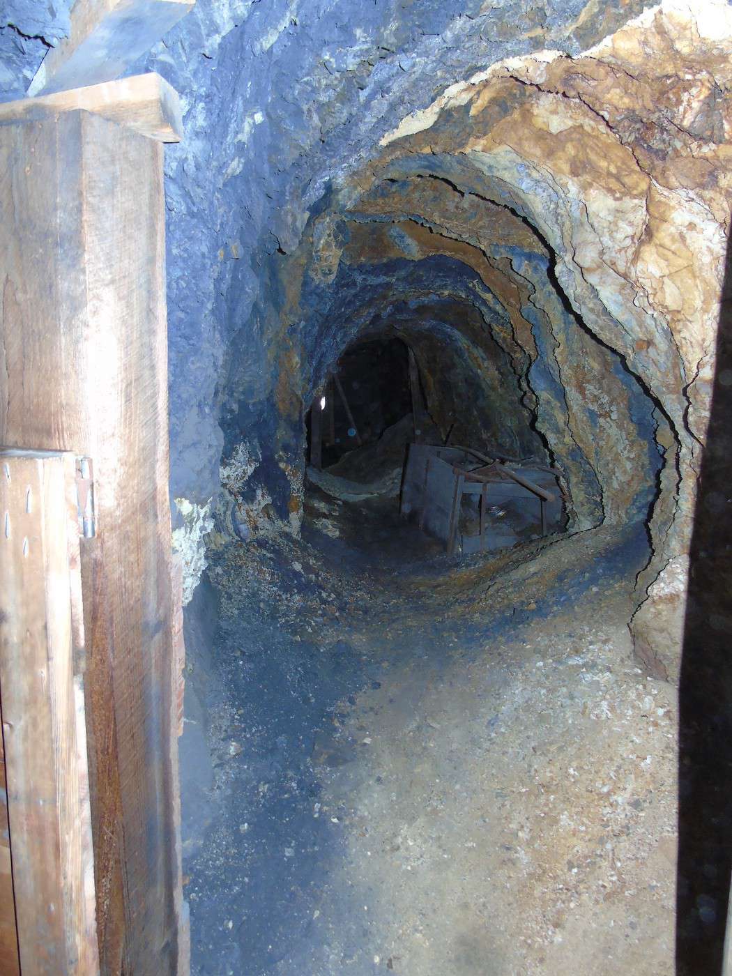
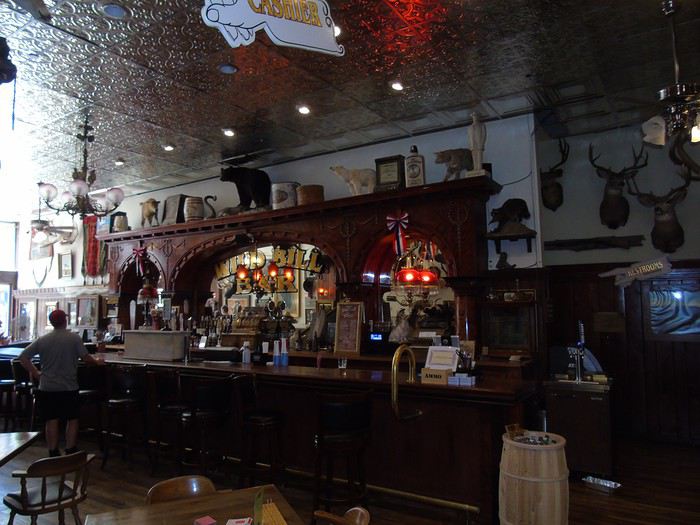 So, much later than planned, we headed to the Broken Boot Gold Mine on the outskirts of town. The visit was quick but interesting, with a guide who spoke slowly so everyone could understand—most of the visitors weren’t English speakers.
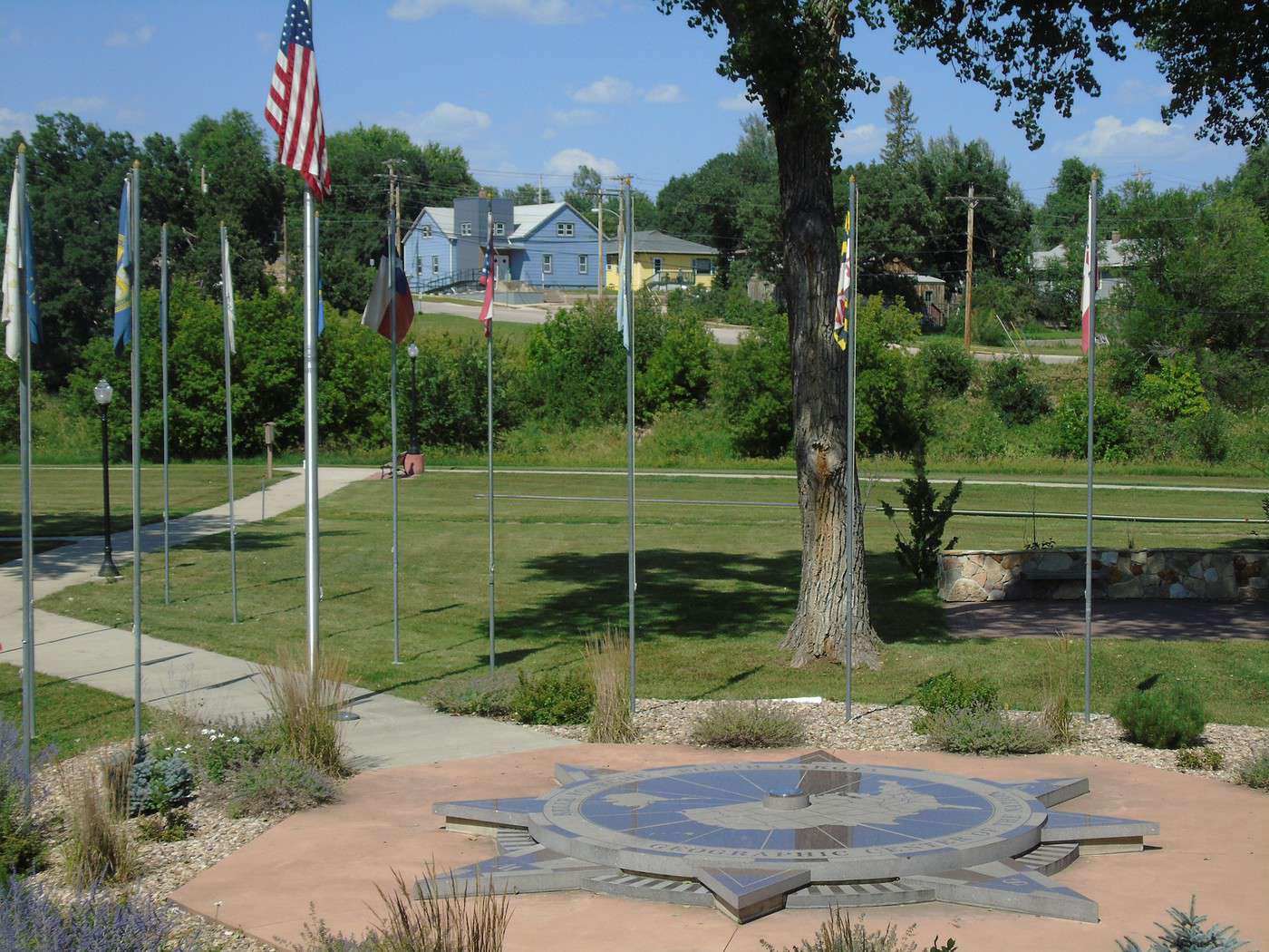
  We got back on the road toward the Geographic Center of the U.S., which was on our way in Belle Fourche. After a few miles, we suddenly realized we’d forgotten to visit Mount Moriah Cemetery in Deadwood, where Calamity Jane and Wild Bill Hickok are buried—a stop that was actually well-rated in our roadbook. Turning back would’ve cost us too much time, so we had to skip it…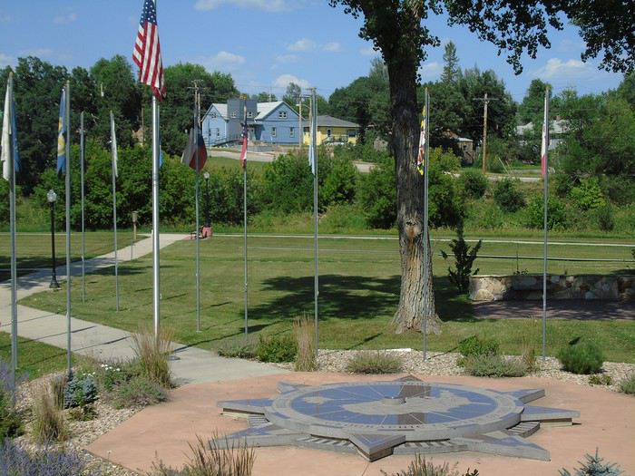
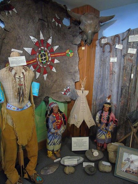
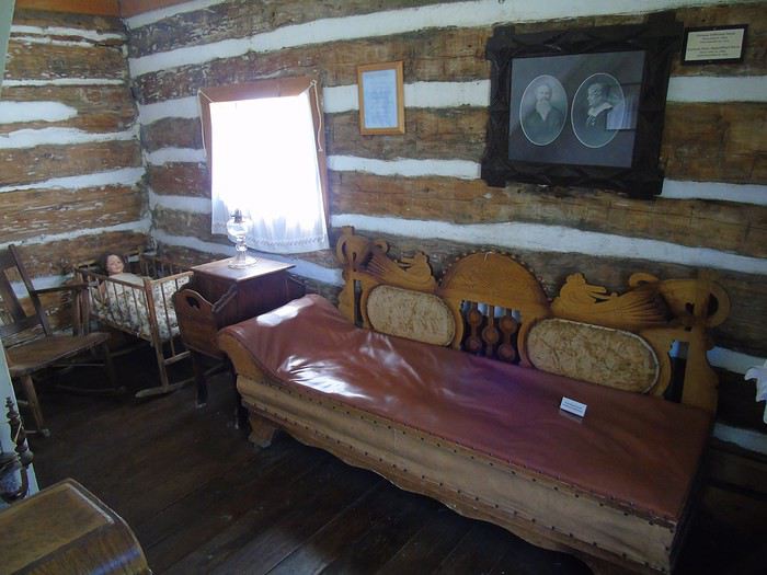
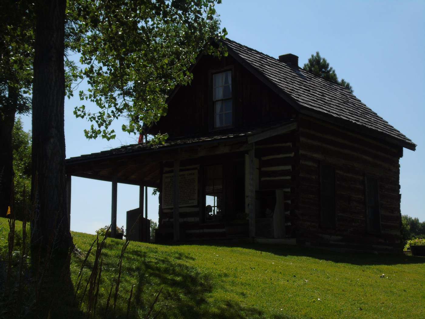
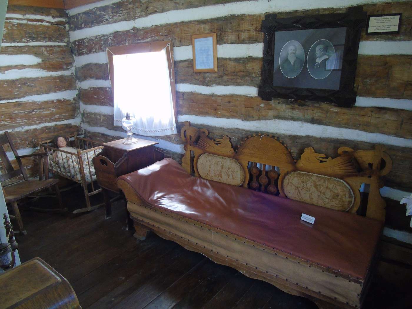
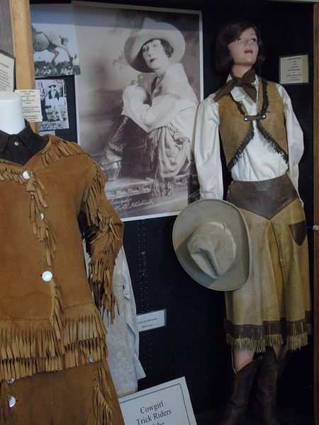 Right next door, the first log cabin built in the area in 1876—called the Buckskin Johnny Cabin—has been restored and furnished to look like it did back then. The visit is free, but donations are welcome to help preserve the heritage. Another stop that took longer than planned! It’s going to be tough to see everything today!!!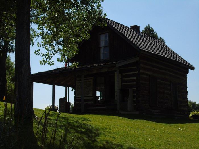
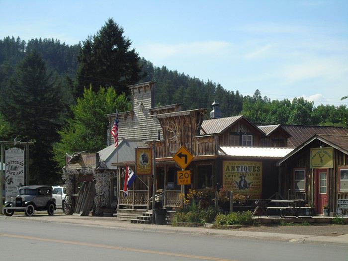
 On the way to Devils Tower, we made a quick stop in Hulett, a tiny village that’s stayed true to its roots.
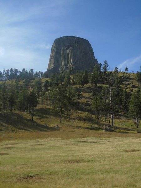
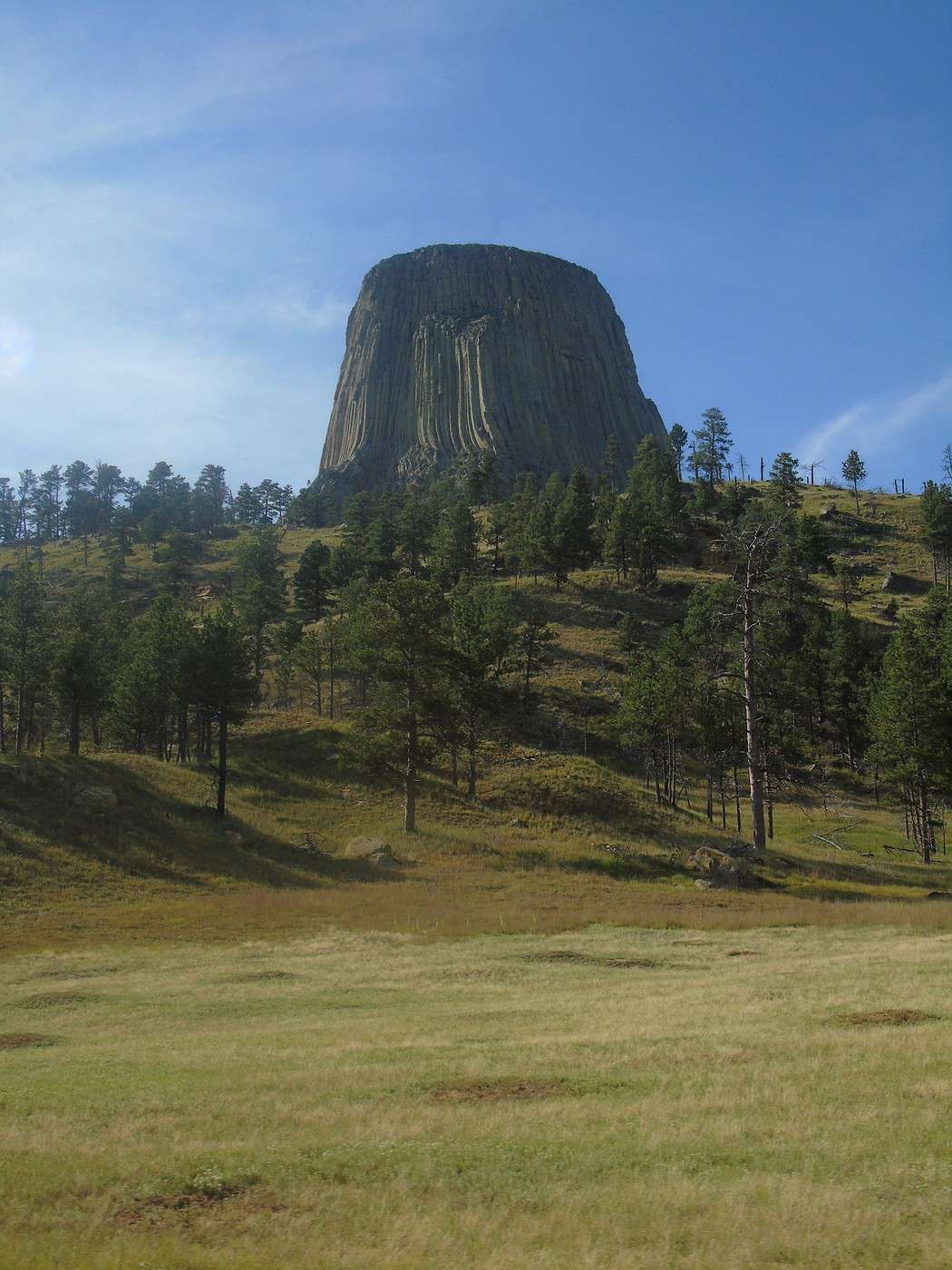
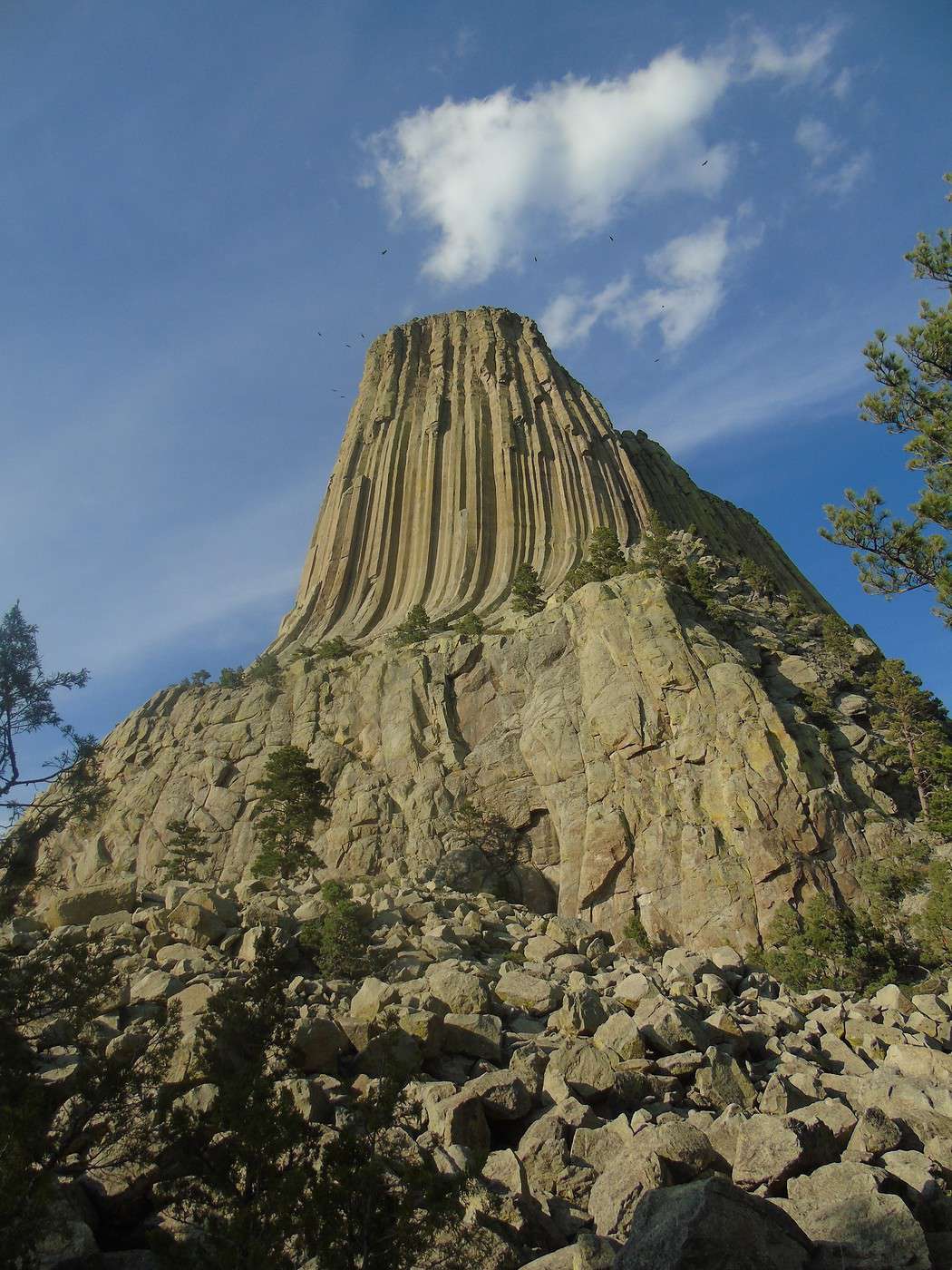
  And then we arrived at Devils Tower, which you can see from far away in the surrounding countryside, rising 386 meters above the Belle Fourche River.
  A sacred site for over 20 Native American tribes, it was designated the first U.S. national monument by President Theodore Roosevelt. After the entrance booth where we showed our America the Beautiful Pass (required), we parked without waiting at the visitor center lot. With time running short, we decided to do the short 2 km loop, the Tower Trail. We started it on the left side. The walk was super easy and offered great views of Devils Tower and the surrounding countryside.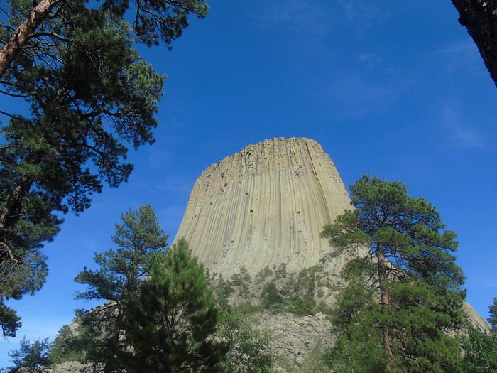
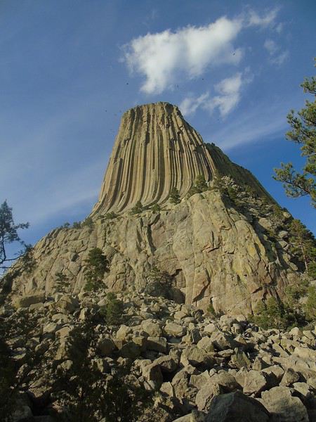
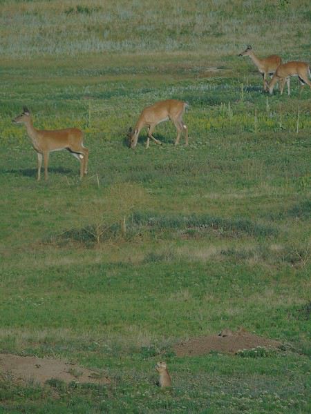
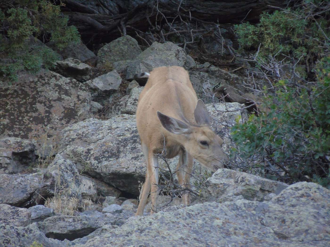
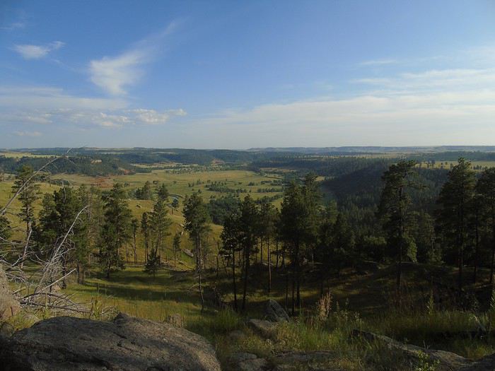 We spotted a deer, then a whole family of them.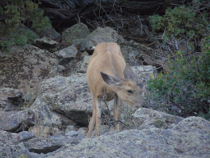
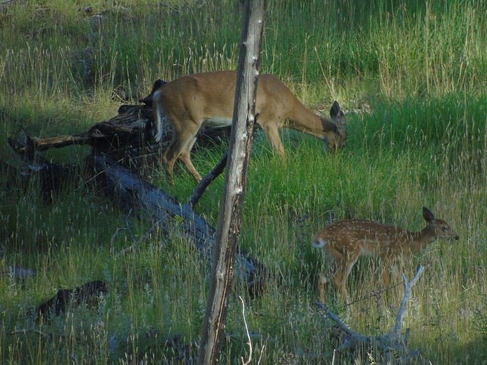
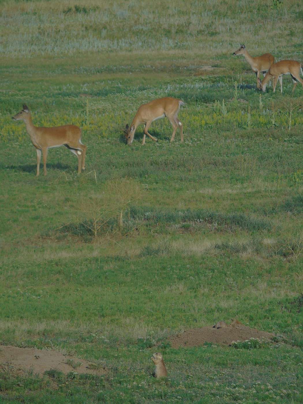
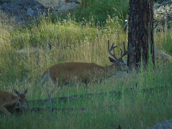 We watched some climbers scaling the tower—it’s such a surprising geological wonder. A must-see. On our way out, about ten deer were calmly grazing among the prairie dogs in Prairie Dog Town.
  It was already late when we got back on the road for our overnight stop in Buffalo—210 km away! We ended up arriving *very* late at the Super 8. The staff was friendly, and we had a big room for six, though the sofa bed was terrible. Three of us ended up sleeping in the two double beds. Breakfast was pretty minimal, but for one night and at the price we paid (70 €), we’re not complaining...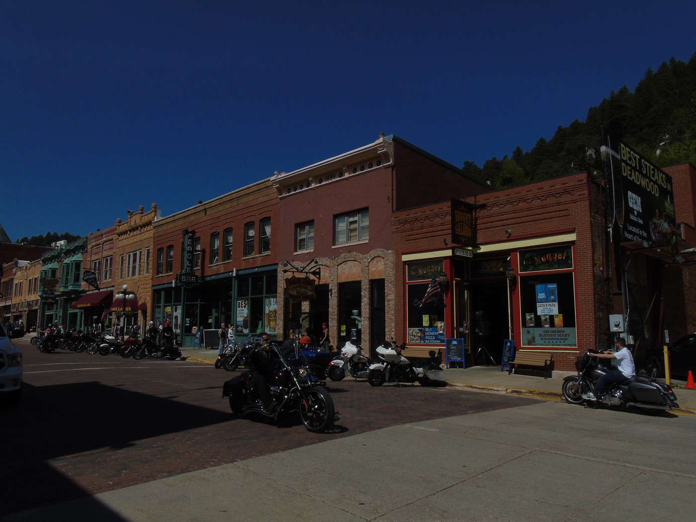
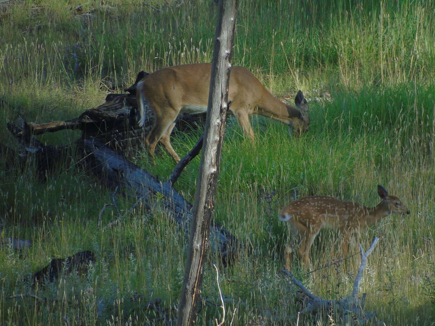
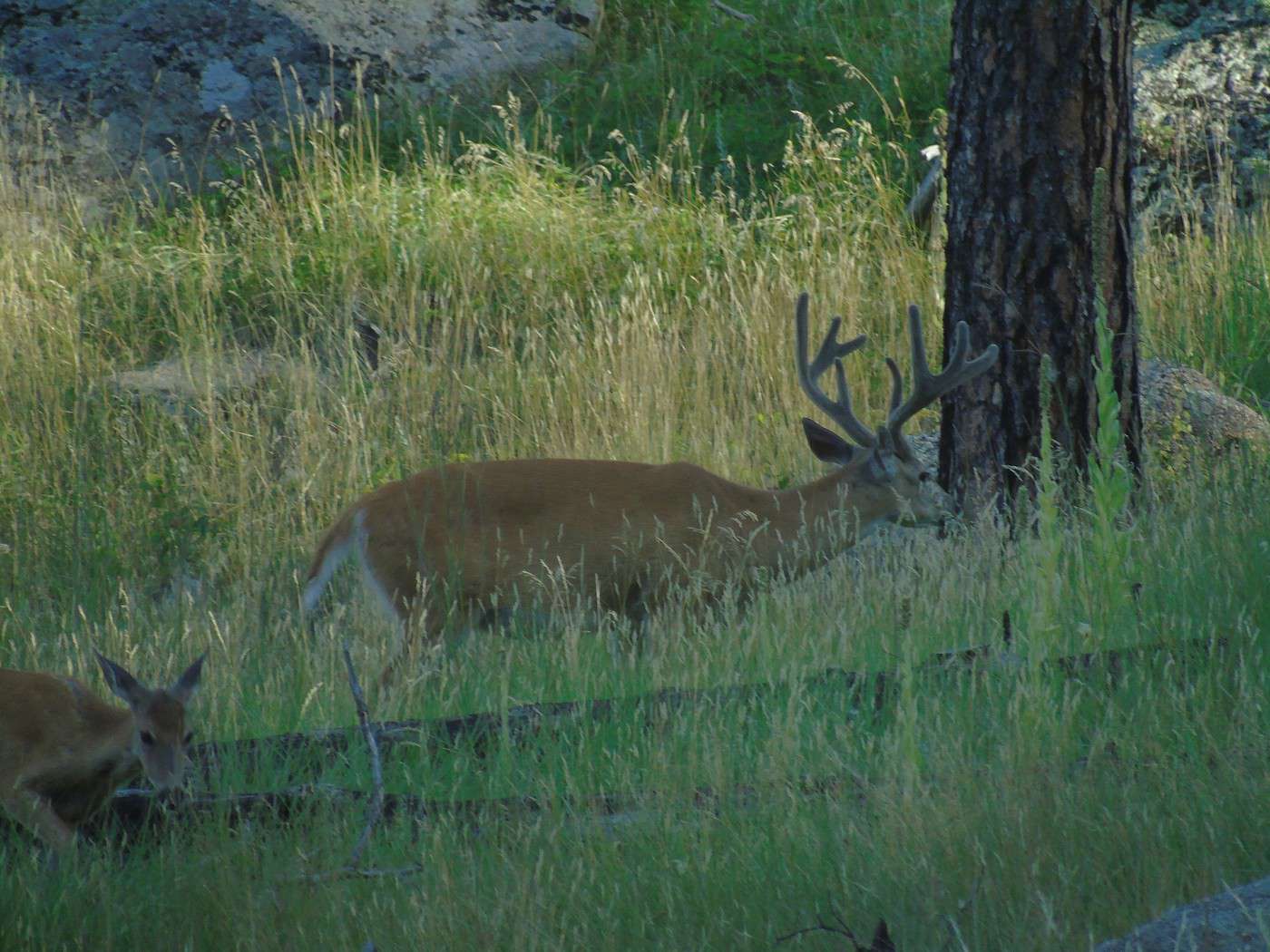
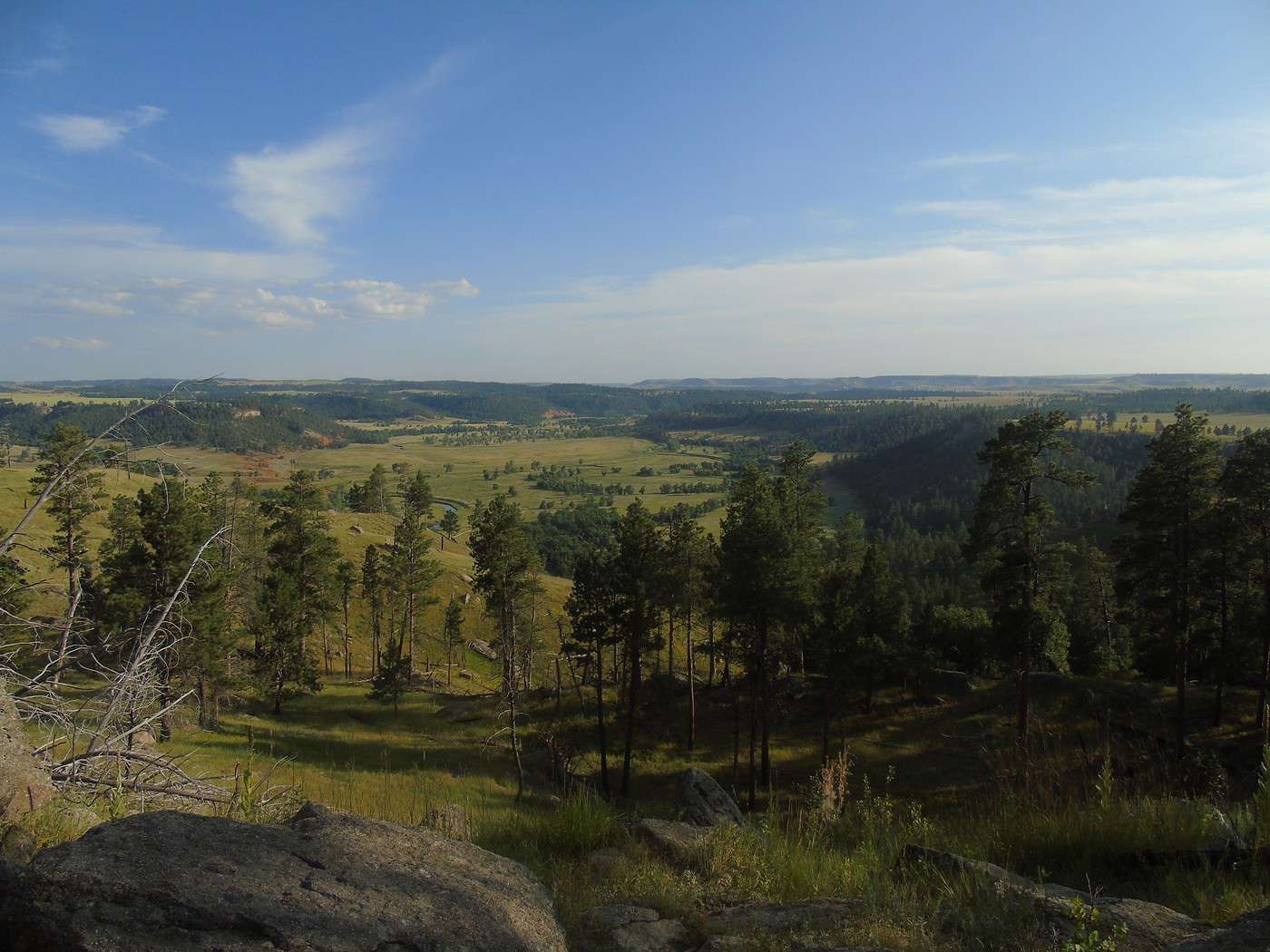
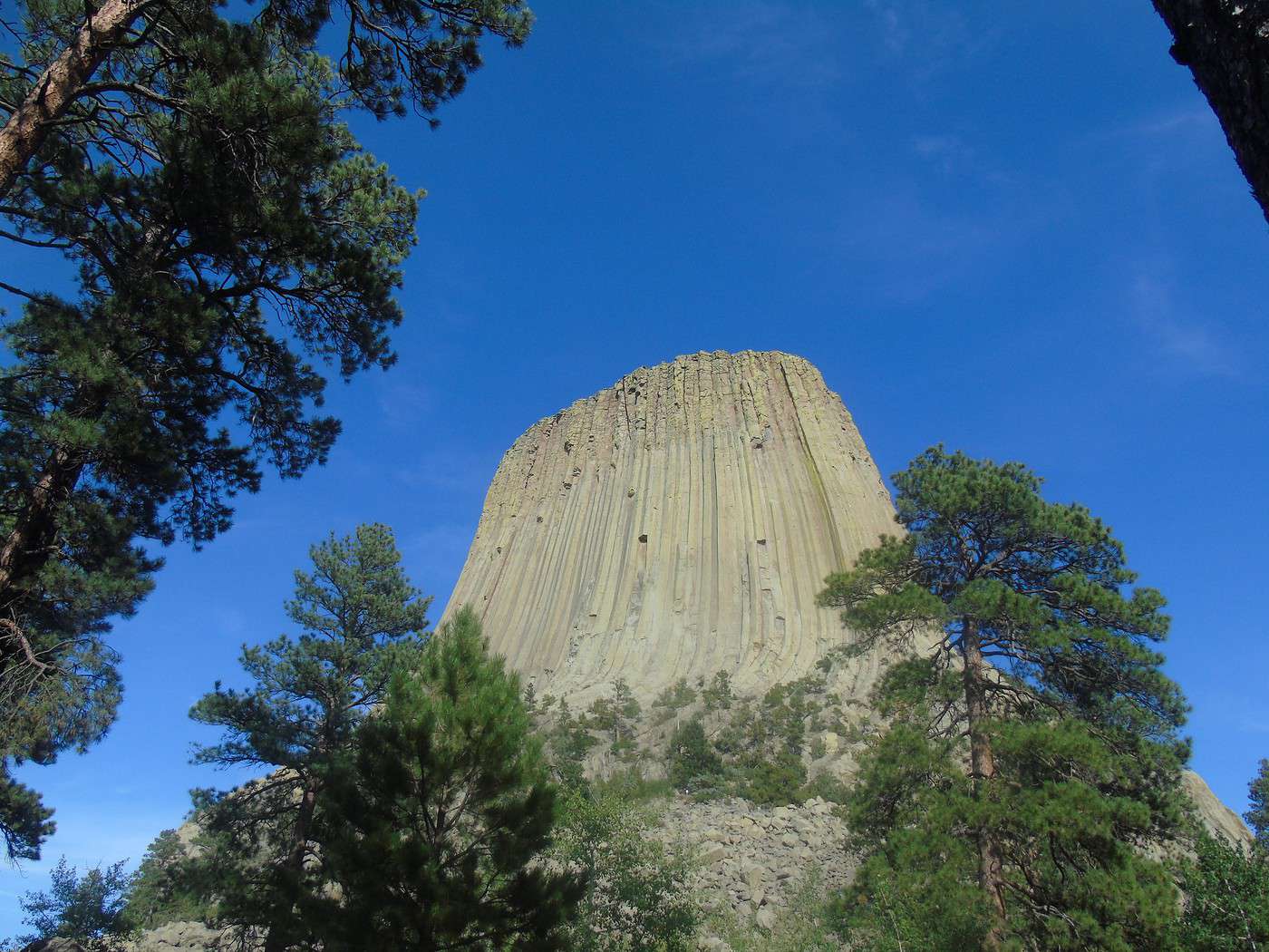

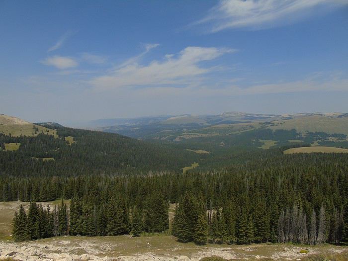
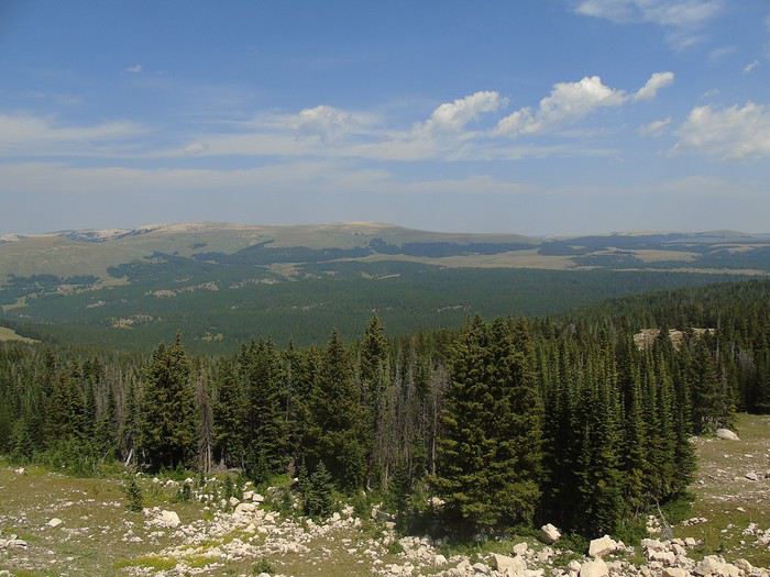
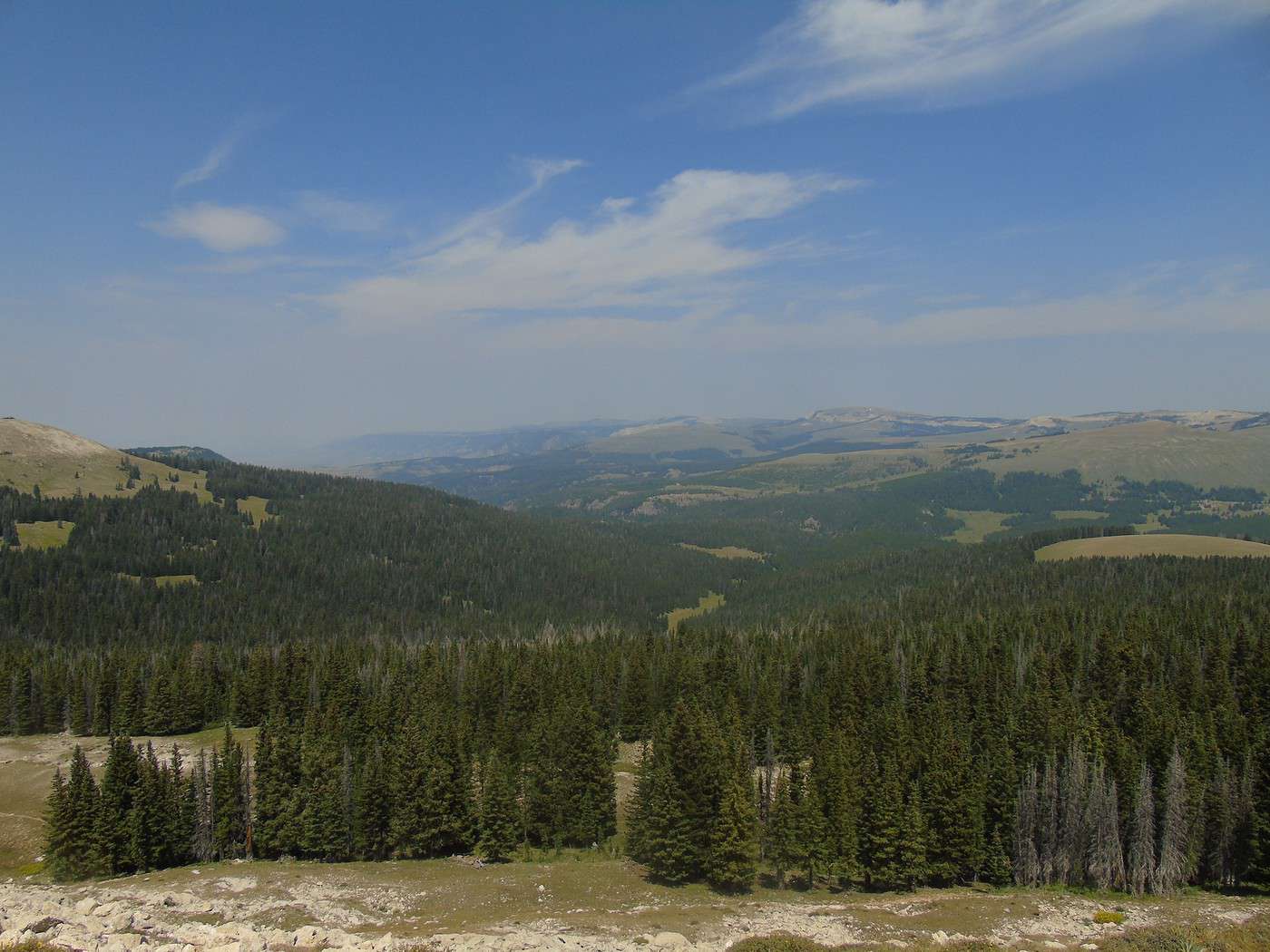
 A trail, which offers beautiful viewpoints despite the mist, leads to the site from the parking lot.
We spot several deer. Don’t forget that the site is at nearly 10,000 feet, which can make walking a bit more challenging.
A trail, which offers beautiful viewpoints despite the mist, leads to the site from the parking lot.
We spot several deer. Don’t forget that the site is at nearly 10,000 feet, which can make walking a bit more challenging. 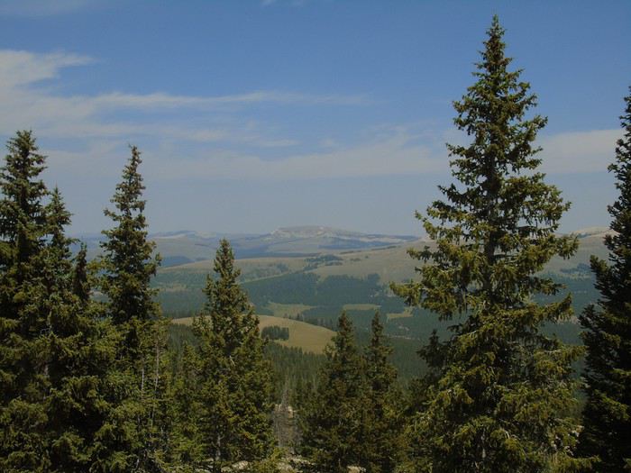
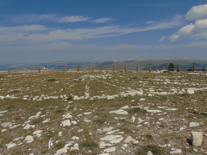
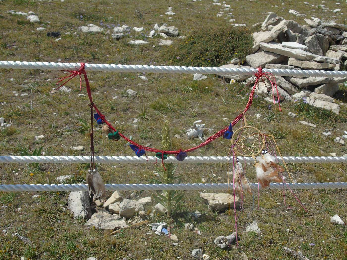
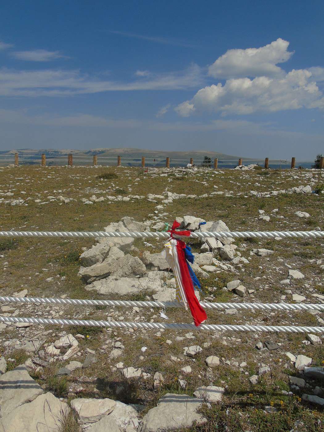
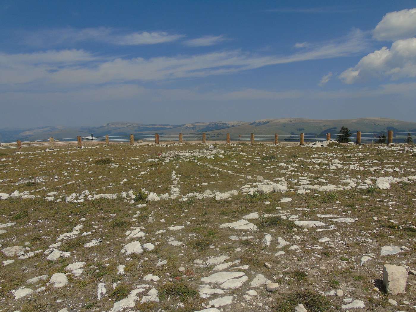
 The circle must be walked clockwise. Many offerings are left inside, and pieces of fabric are tied around.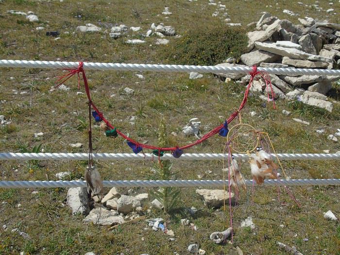
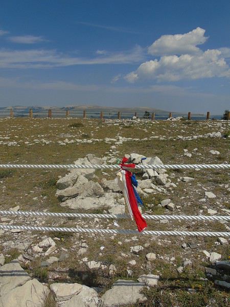
 While not overwhelming, this site leaves an impression and has a certain vibe—probably because we know it’s a ceremonial place.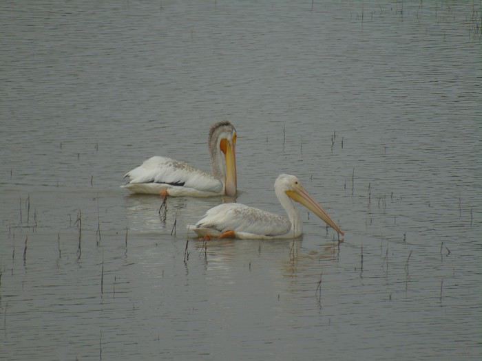

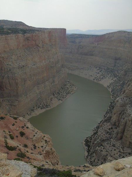
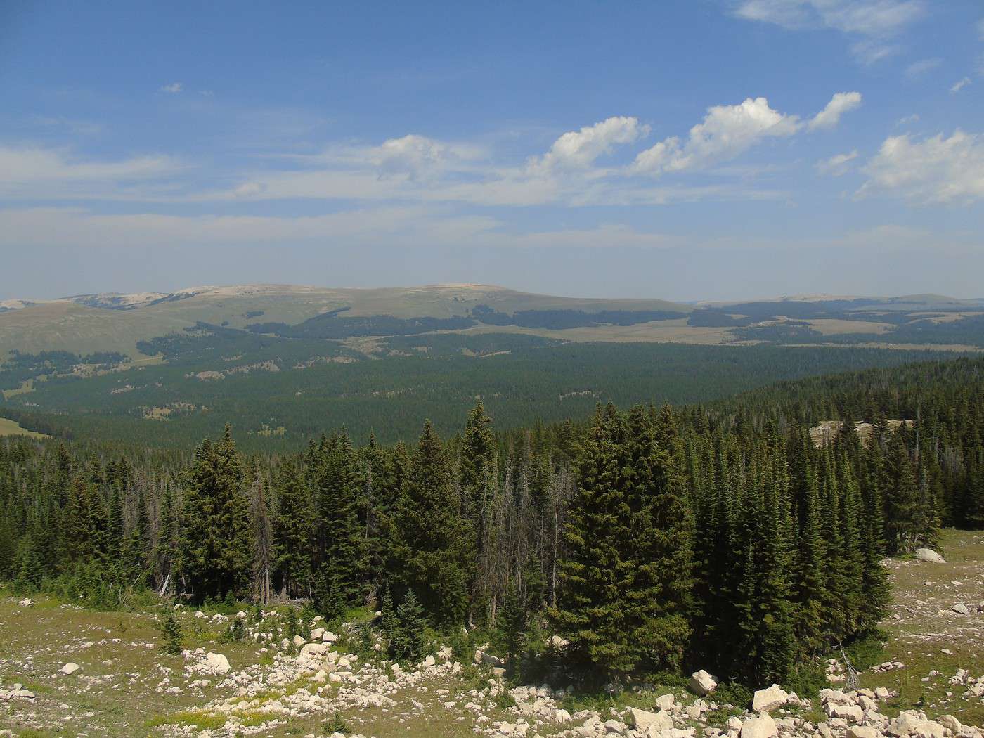
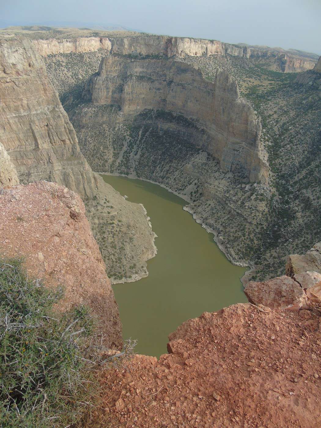
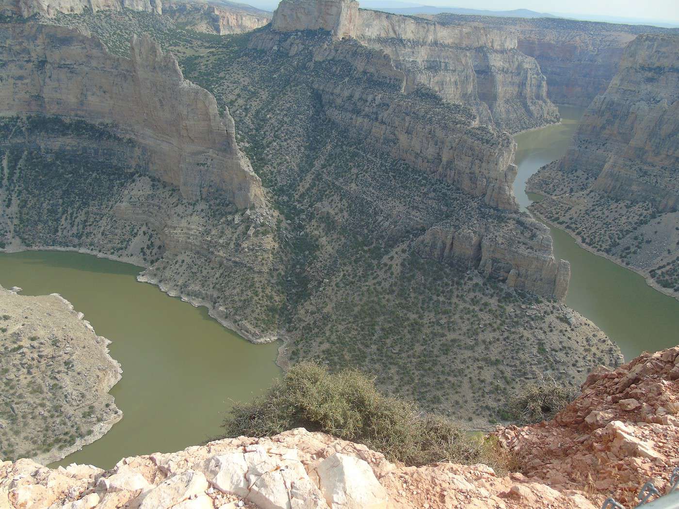
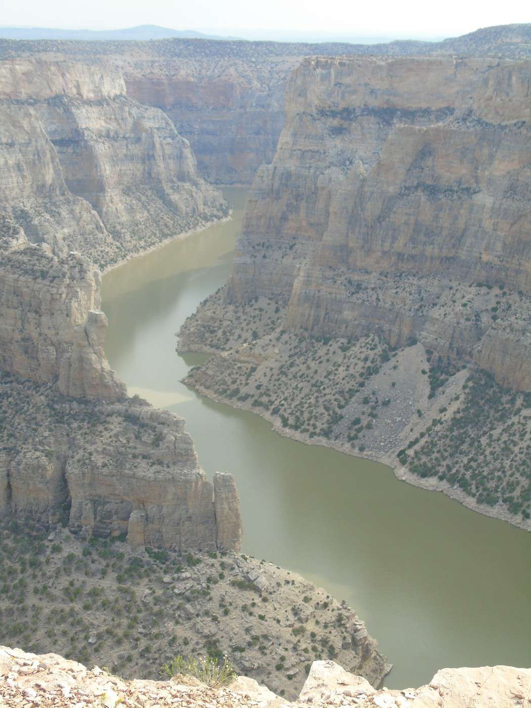
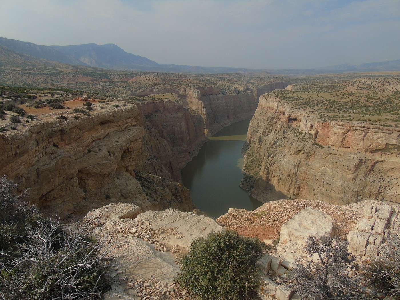
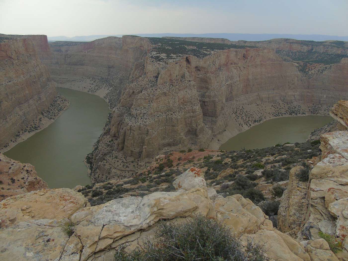
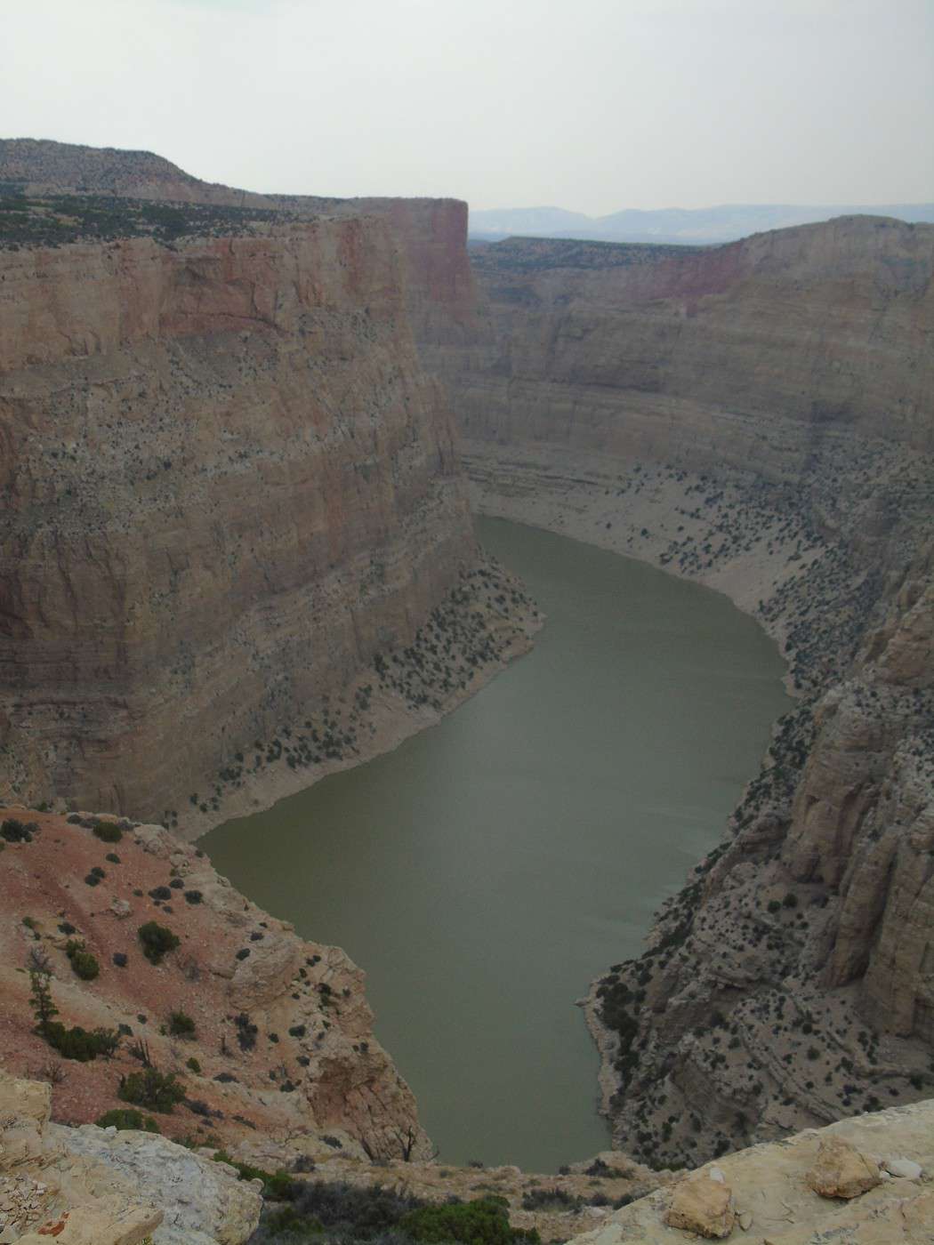
 Stop at Devil Canyon Overlook: amazing!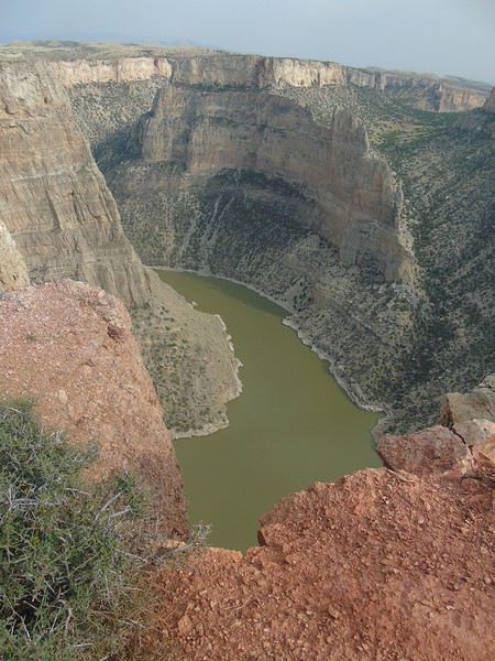
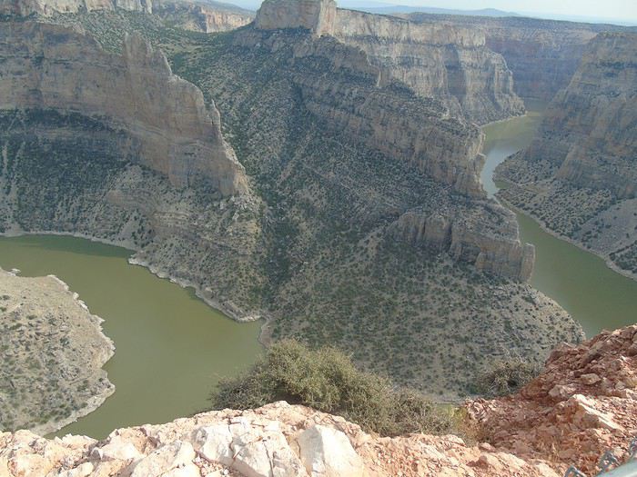

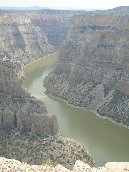
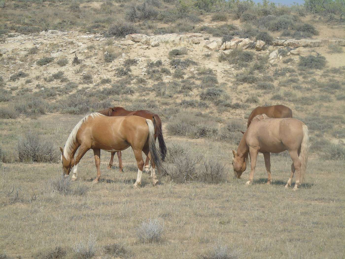
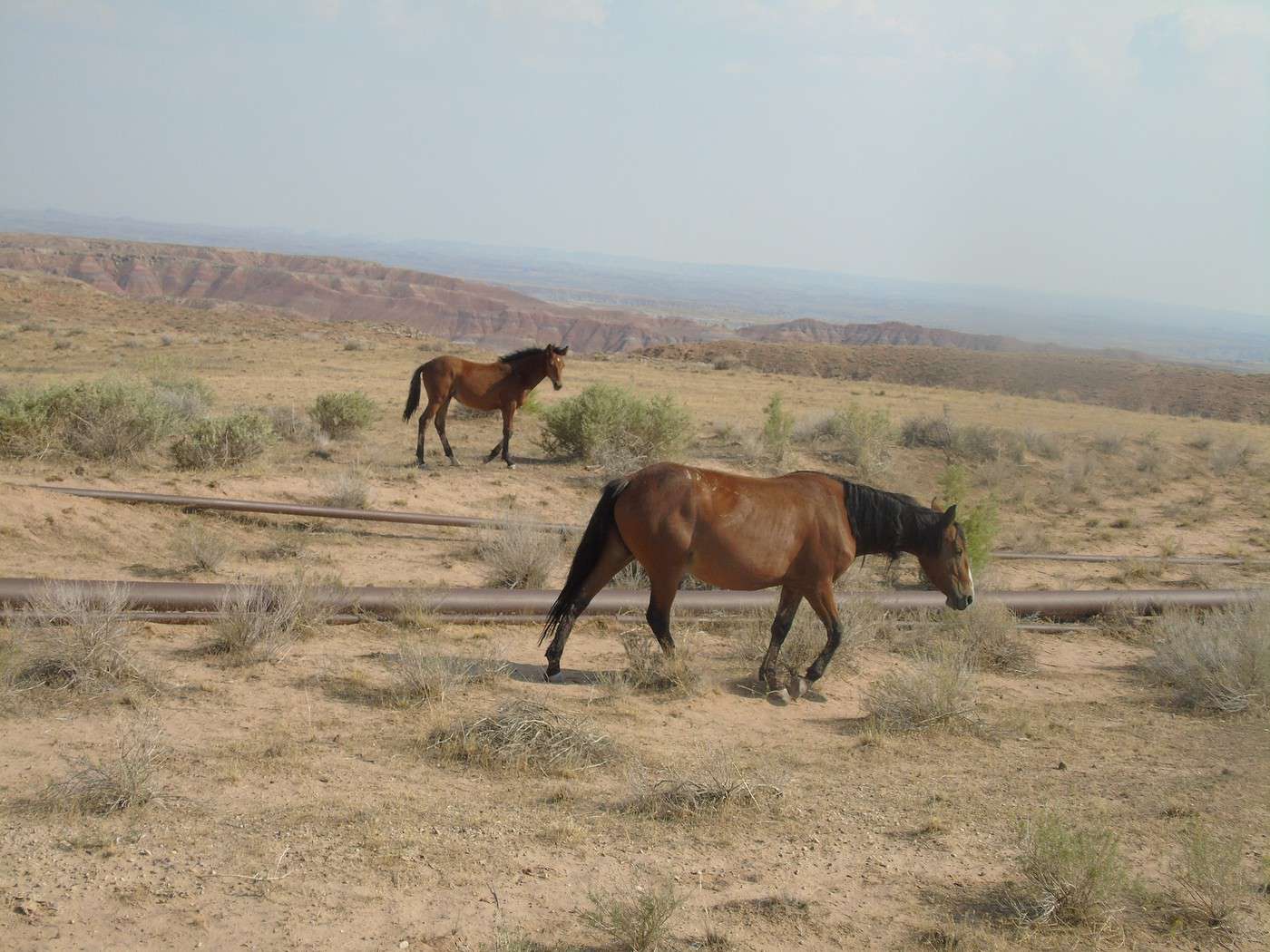
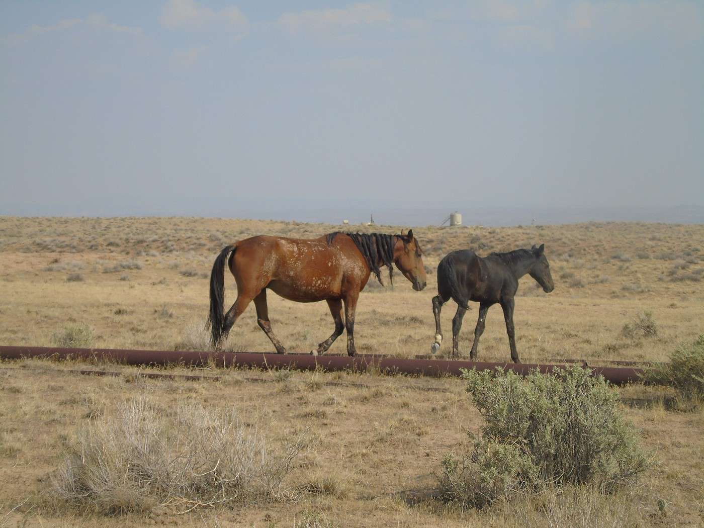
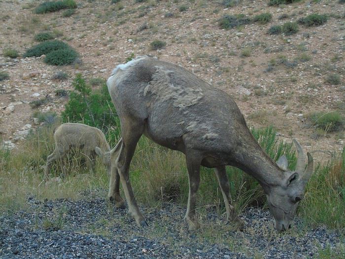
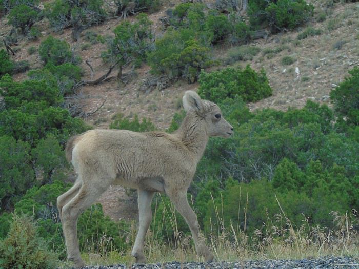
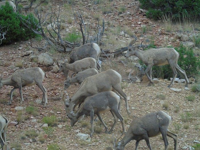
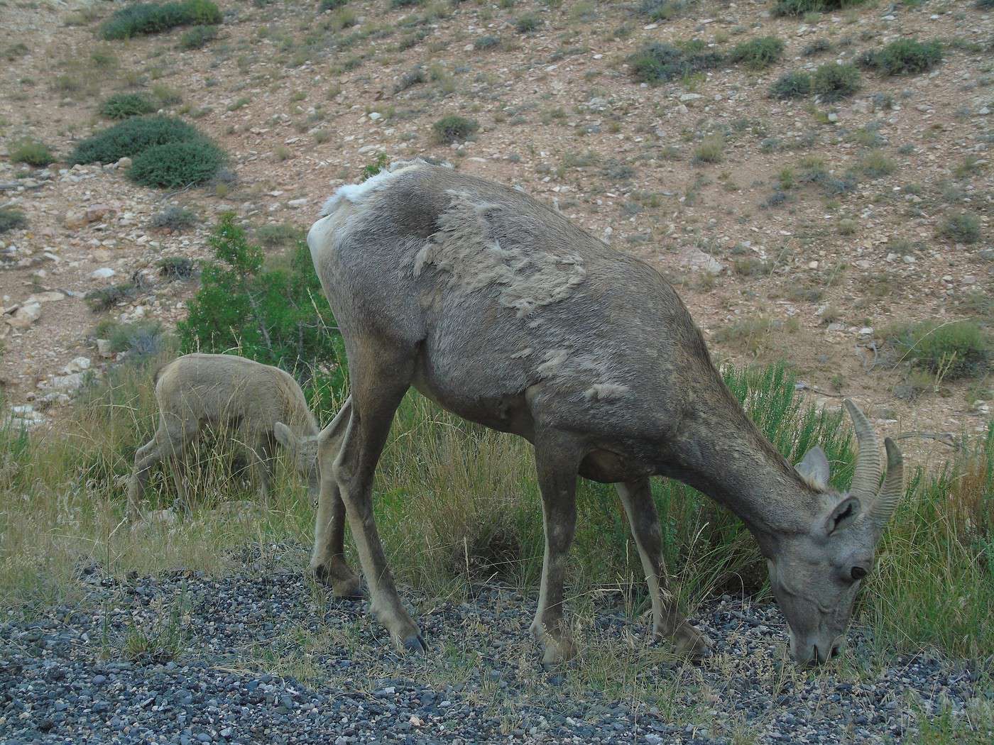
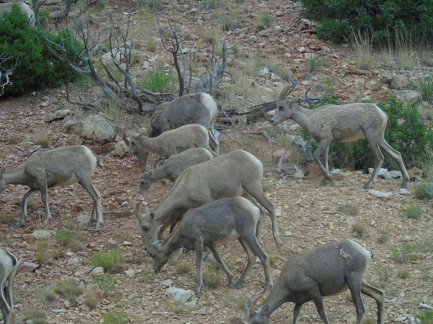
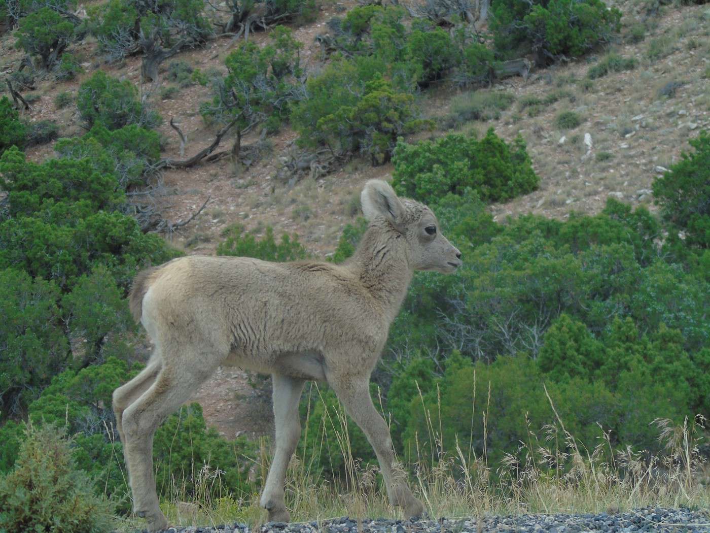
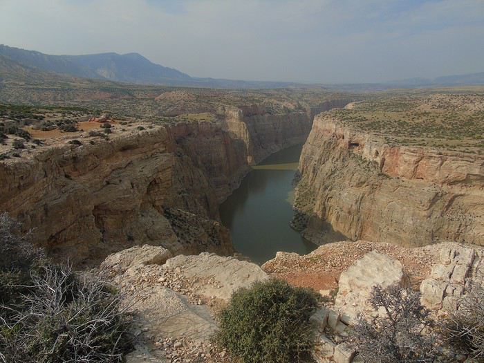 We continue driving, hoping to see wild horses. We come across a herd of bighorn sheep, but no horses in sight. We’re pretty disappointed.
  We head back the other way and do the State Line Trail. A very easy 1.2-mile round-trip hike that offers another view of the canyon.
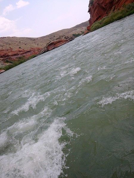
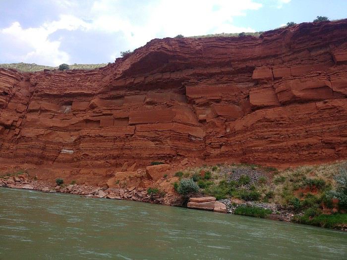
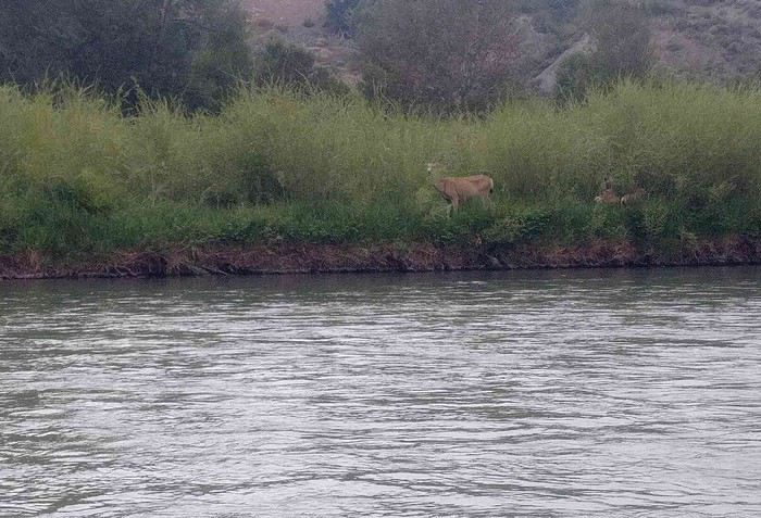

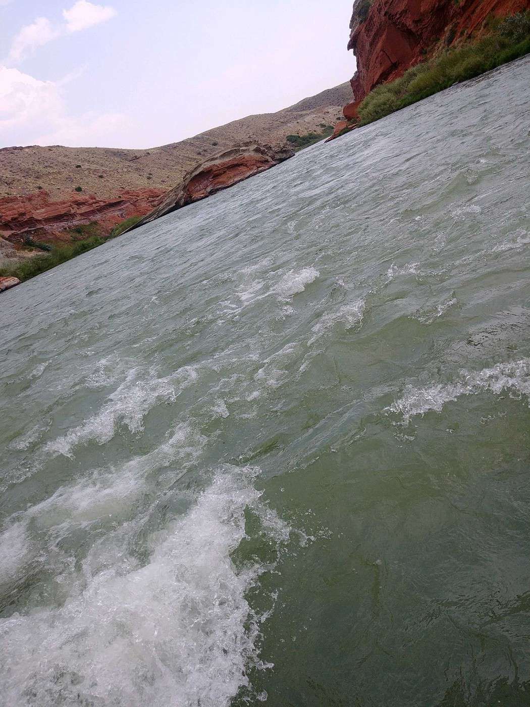
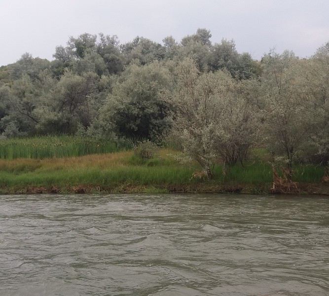 There were quite a few pretty intense rapids, and the guide had the youngest kids lie down on the side—they got soaked from head to toe! We all ended up pretty wet. The rafting trip was a lot of fun, and we really enjoyed it. The guide gave us lots of explanations about the rocks, landscapes, and animals, but we had a hard time understanding everything because of his strong accent.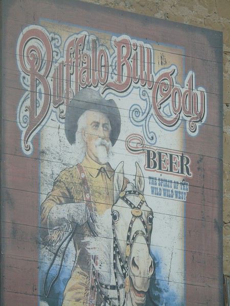
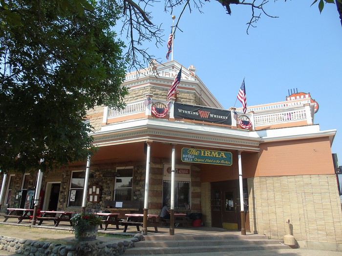
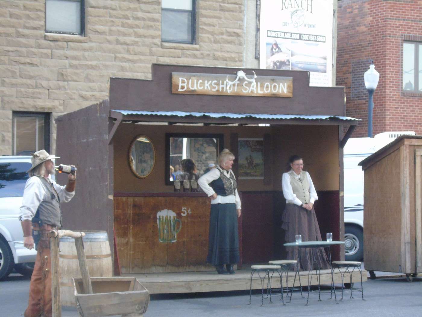
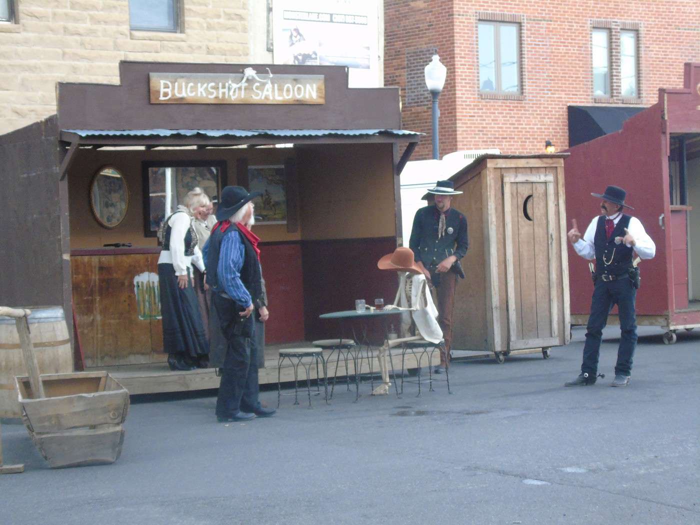
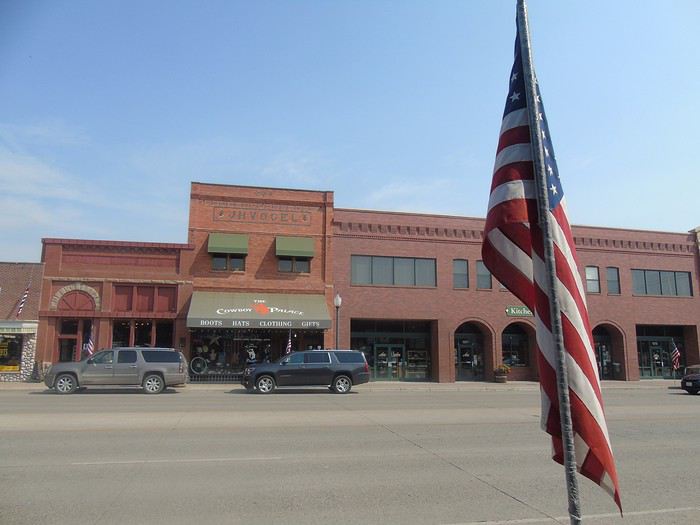 Apart from this building, the town has no charm. I was hoping to find the vibe of Deadwood, but I was wrong. As for the gunfighters, it was really kitschy and pretty mediocre.
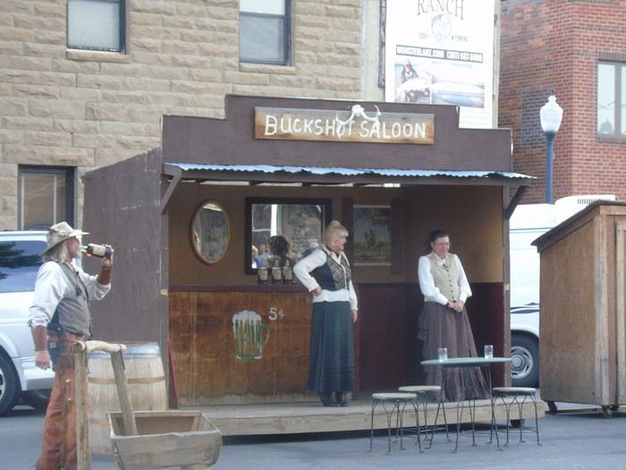
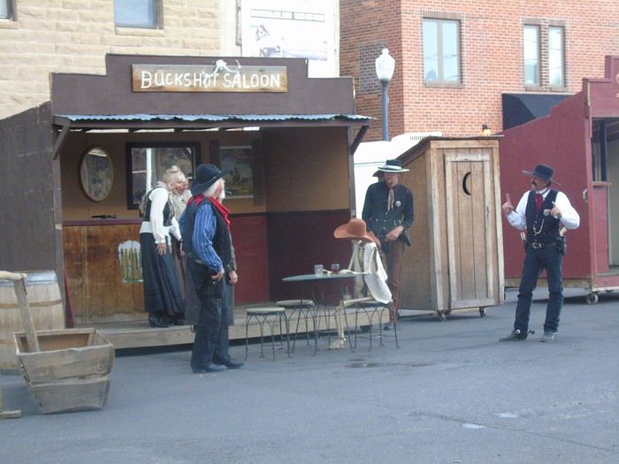 We stopped by Walmart to save time the next morning and bought a Bear Spray ($29.90, which was $10 cheaper than in the park). Everyone laughed at the time, but opinions on its usefulness changed pretty quickly!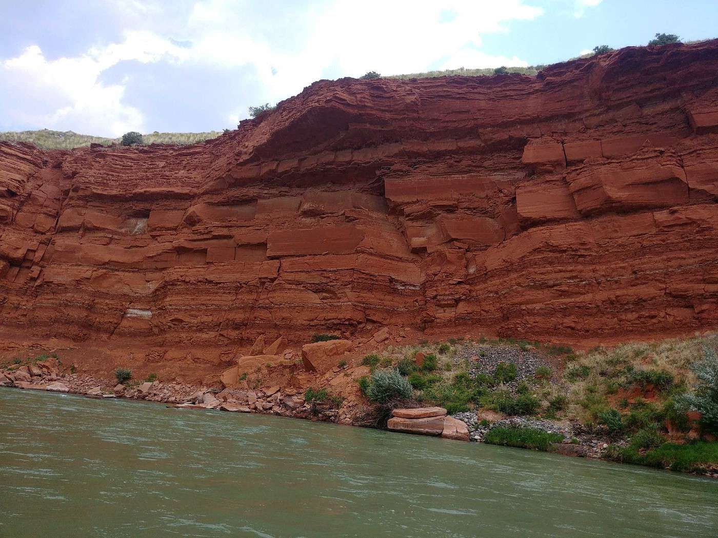
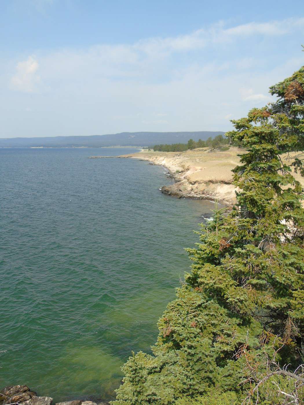
 We head to the Fishing Bridge Visitor Center. This area is under construction, but it doesn’t cause any delays. We pick up some brochures, info on our first planned hike (Storm Point Trail), and the Junior Ranger program—the only park where they charged us for it ($3). We return to Indian Pond, the starting point for this hike. The parking lot is far from full, which is great. Off we go for our first taste of Yellowstone.
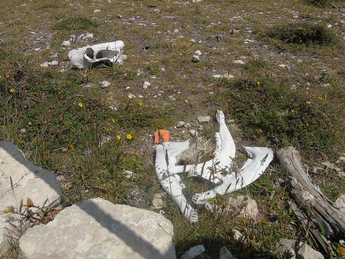
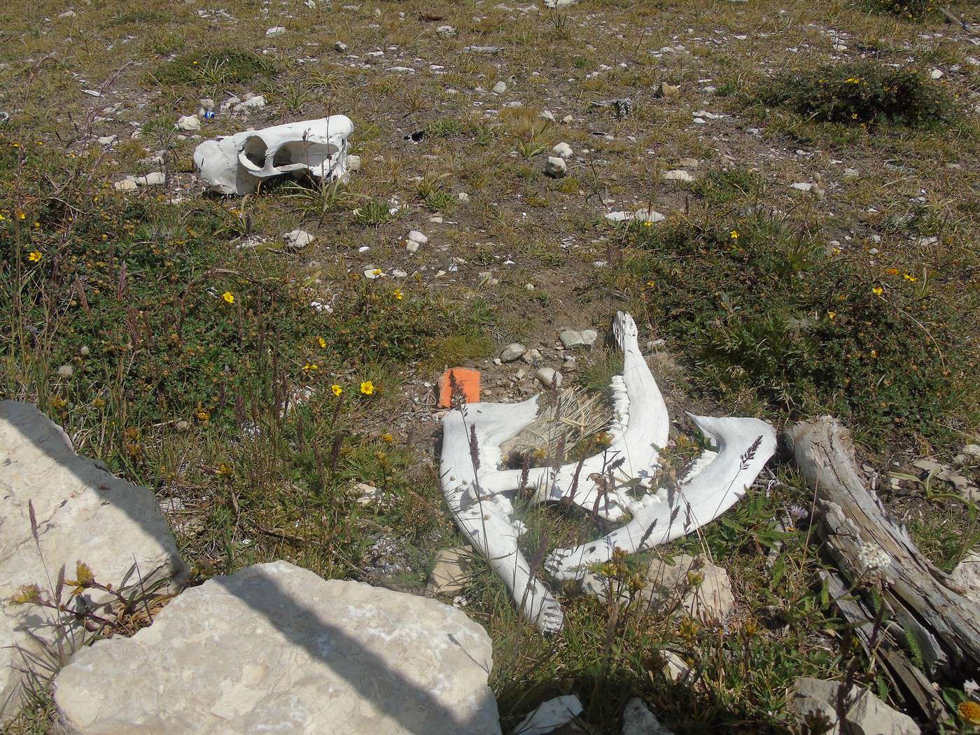
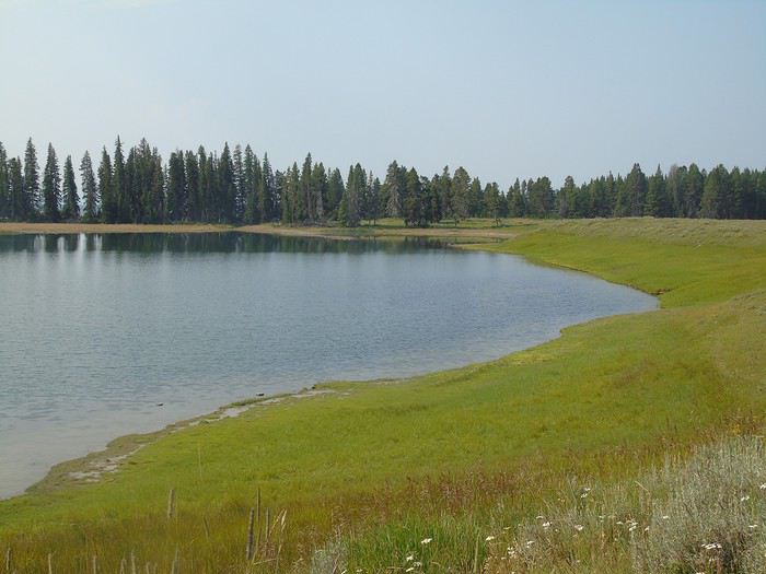 After a few hundred meters, we run into an American returning from his hike. He asks if we have bells to make noise (uh, yeah, but in the car) and bear spray. I *did* bring it, but we hadn’t removed the safety clip. He pulls out his pocketknife, removes it for us, and shows us how to use it. He explains there’s a huge carcass by the trail and bears are hanging around nearby. Weird—the ranger didn’t mention it or warn us about anything. Nervous much, sir? We see the carcass further ahead; not much left except the skeleton. The trail runs along the lake, offering beautiful views.
 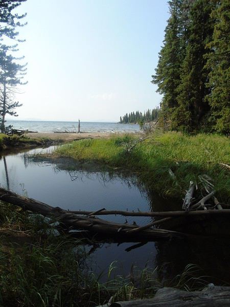 We pass a few hikers, many turning back at Storm Point, a really pretty viewpoint.
 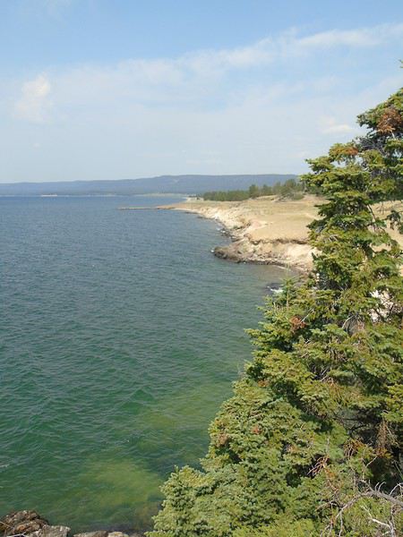 We decide to continue the loop, and the trail quickly heads into the woods. We talk loudly as a precaution. Suddenly, the sound of snapping branches and a growl stops us in our tracks. We freeze and instinctively huddle together, bear spray pointed toward the noise. Silence. We scan the underbrush but see nothing. After a few minutes, more snapping branches—then nothing again. We stay still for a while longer, then, still tightly grouped, we resume walking, making as much noise as possible (not hard with six of us!) and picking up the pace, bear spray at the ready. We’re relieved to see the end of the forest and emerge into the meadow. We’ll never know what it was, and that’s fine—but we all *definitely* heard that growl. In the end, everyone was glad I’d bought the spray, even though it had made them laugh the day before.
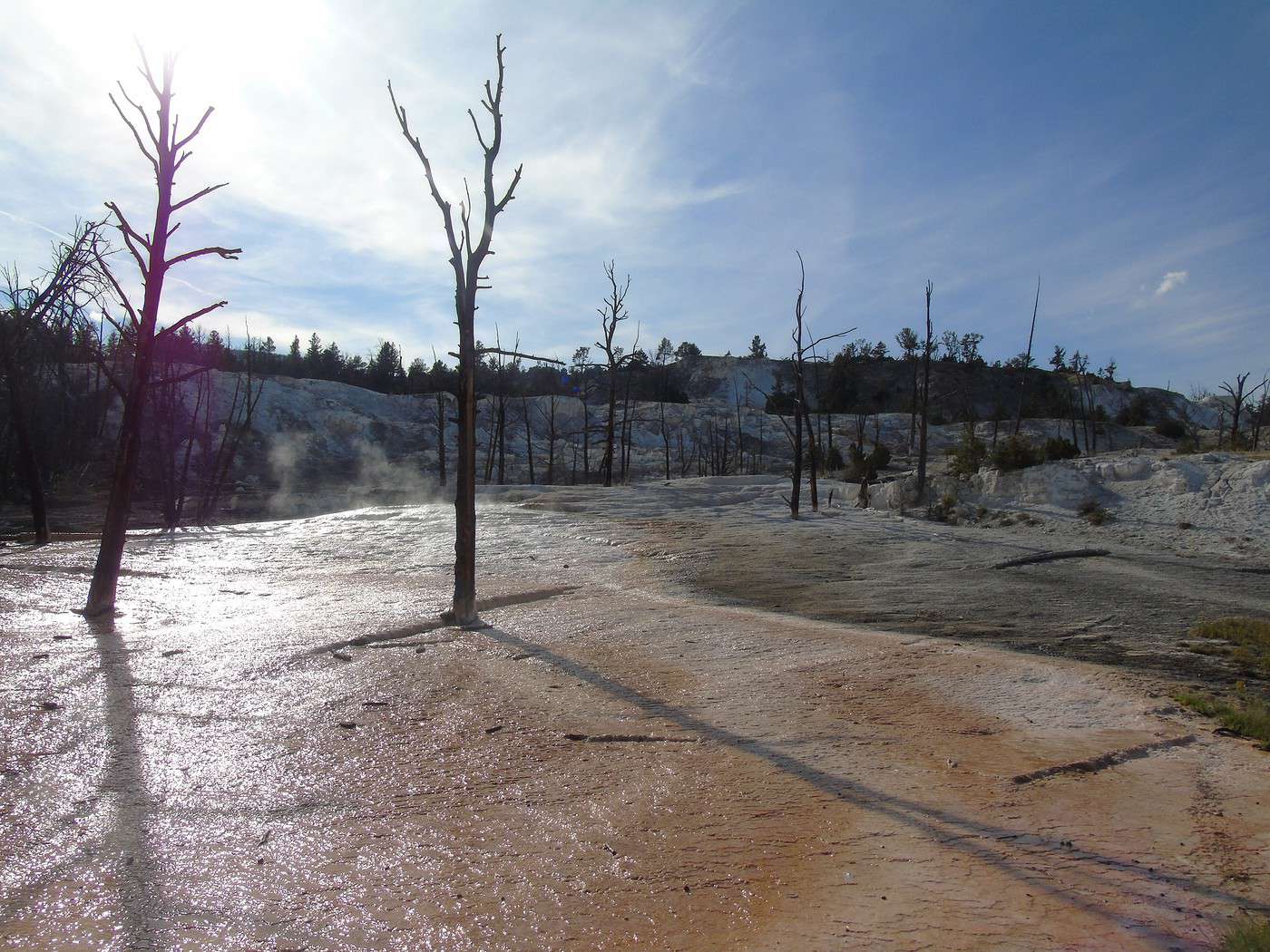
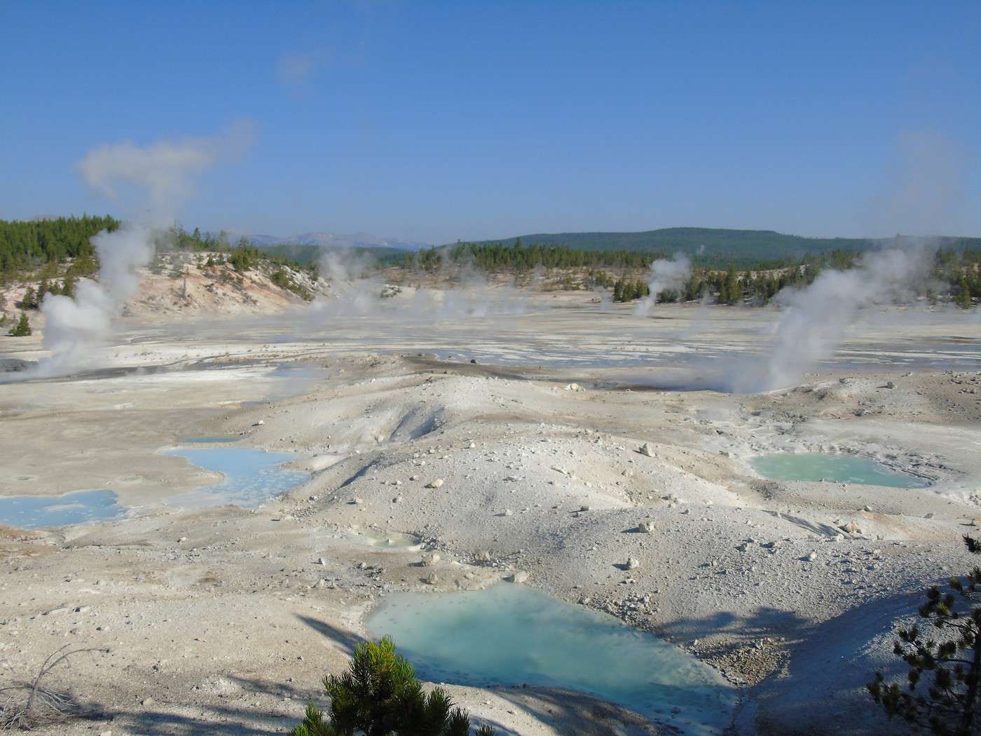
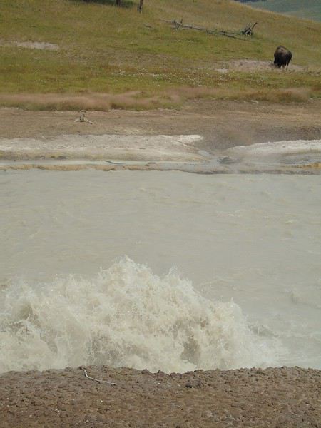 A boardwalk lets us explore this small site. A nice introduction to the park’s phenomena.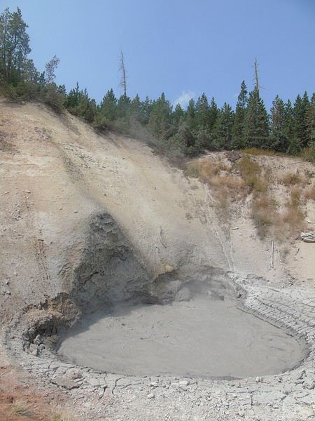
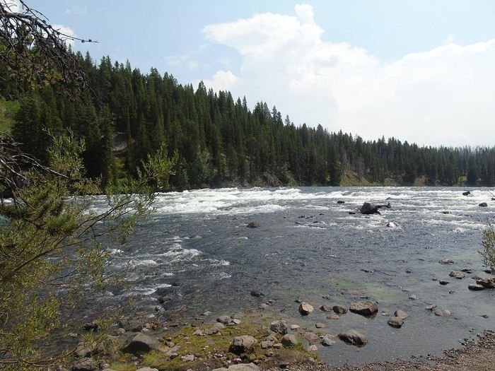
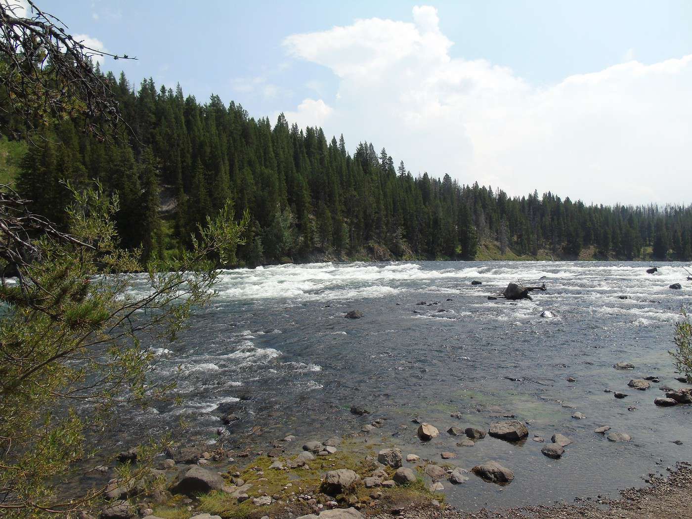
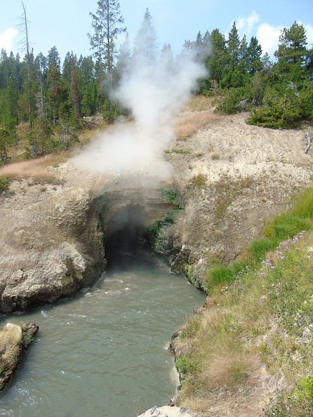 We have a late picnic at LeHardy’s Rapid, where we see very few people, before heading to West Thumb Geyser Basin, a much busier area.
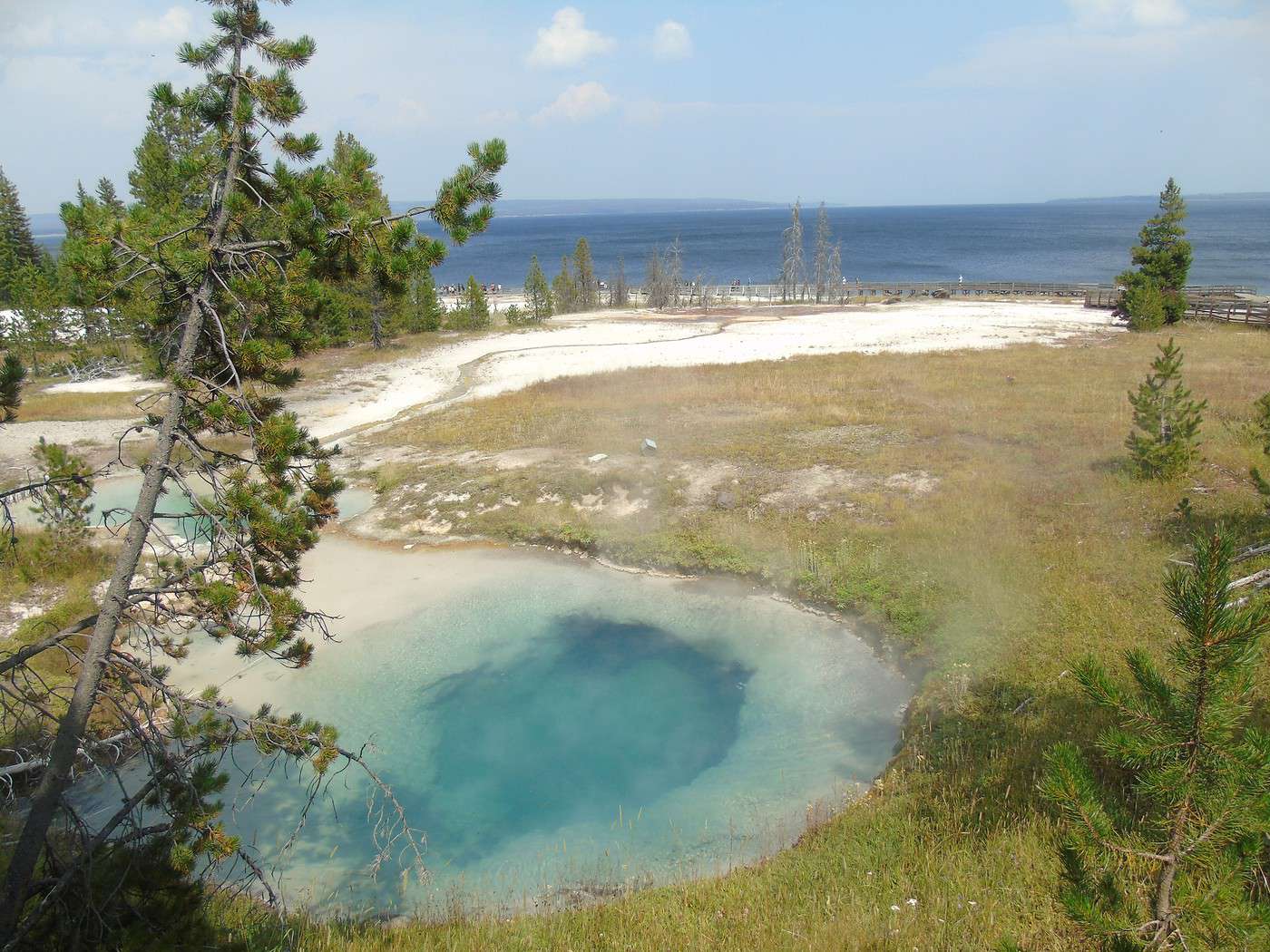
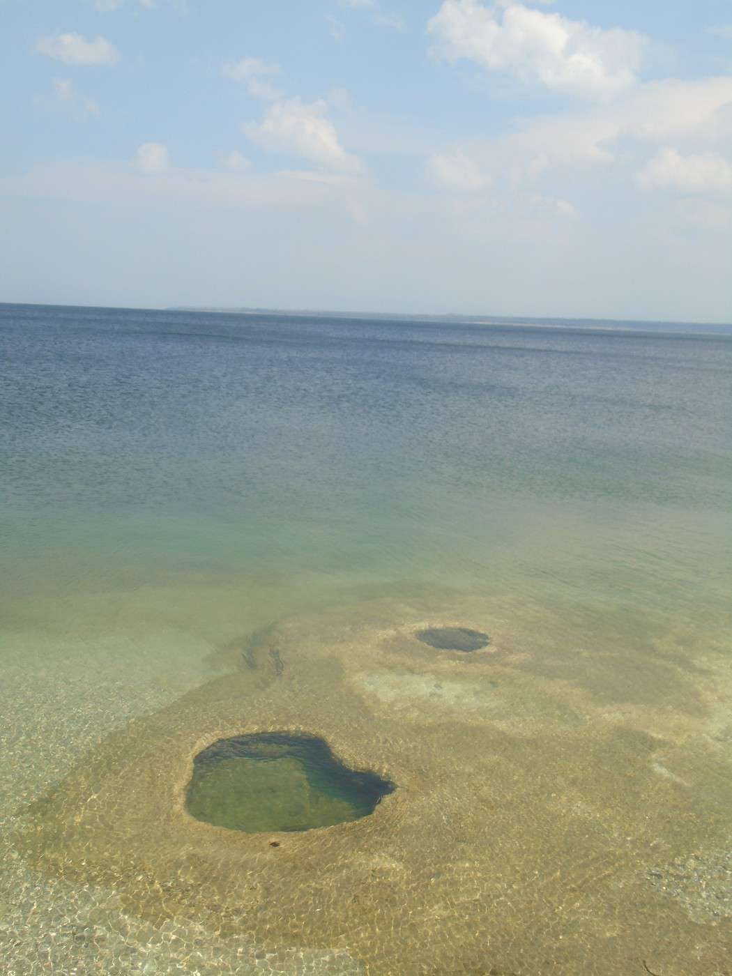
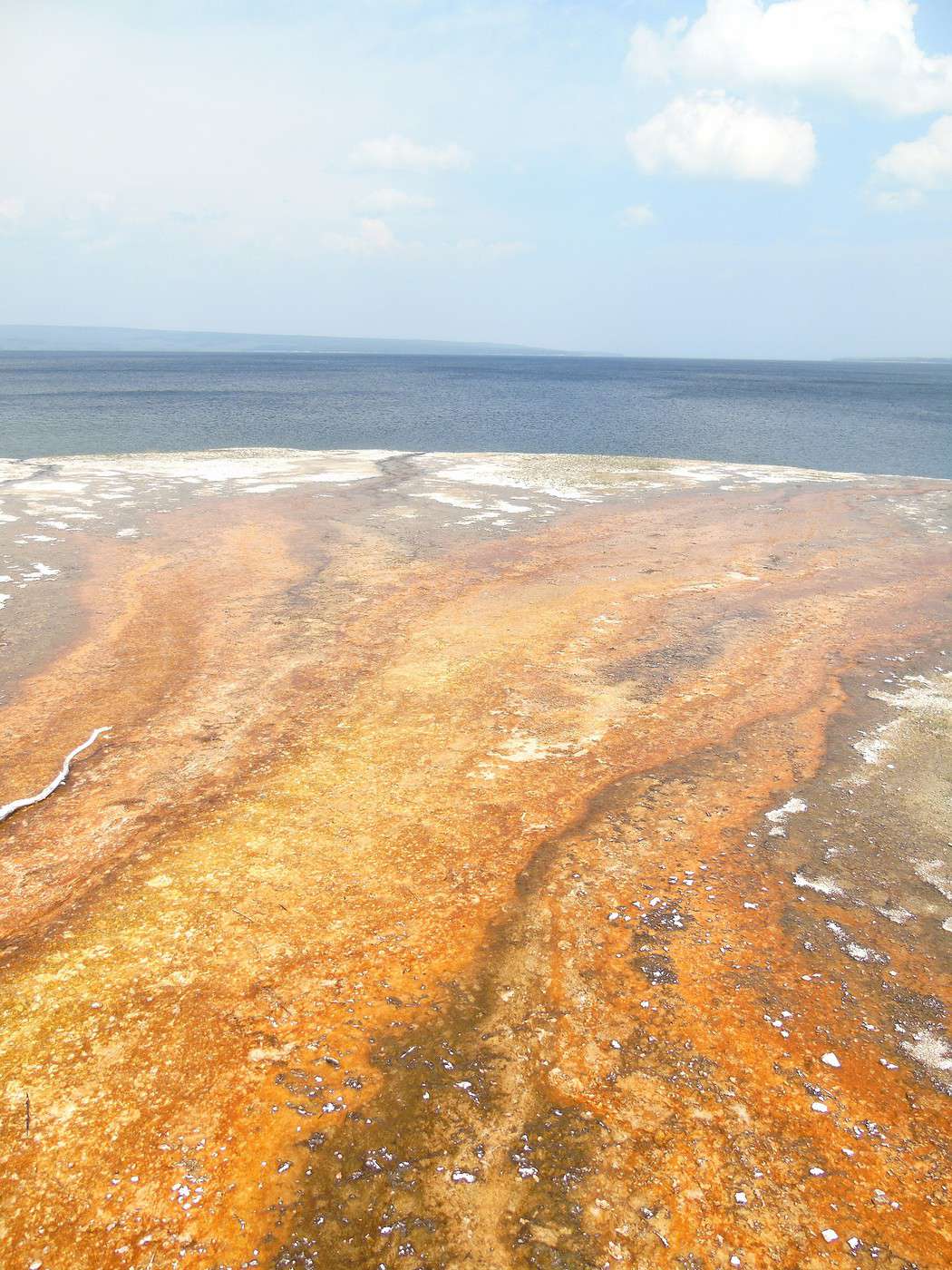
  The parking lot is full, but we find a spot quickly. We start the 1 km loop around the site, always on boardwalks. The colors are stunning. There are quite a few Chinese tourists, but they’re no louder or ruder than other groups. We make room for them to take photos, and they do the same for us. Whenever they ask us to take their picture, they *insist* on taking one of us in return. We’ve never taken so many photos of the six of us on a trip!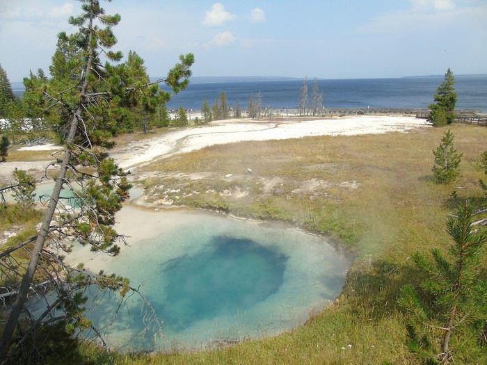
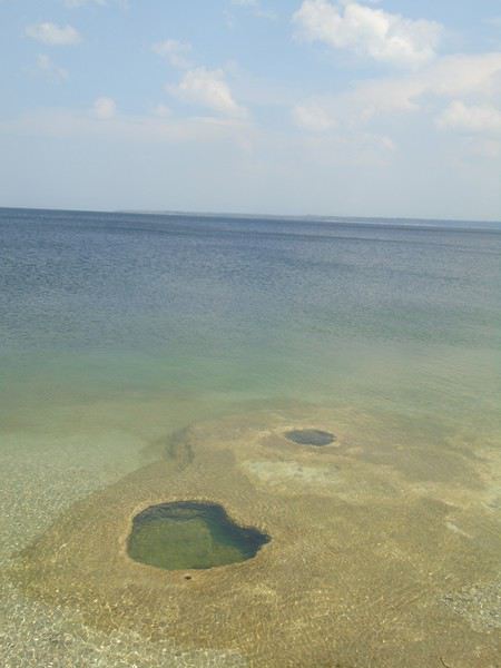
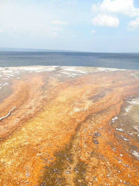
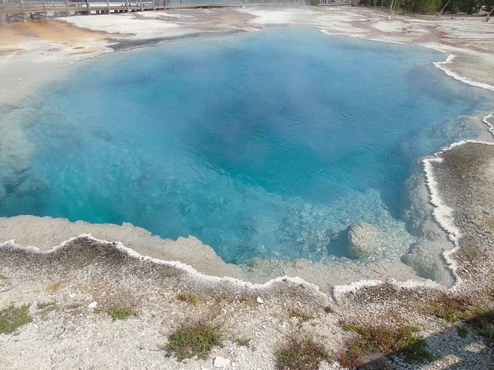
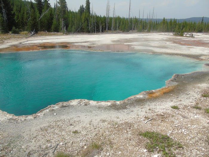
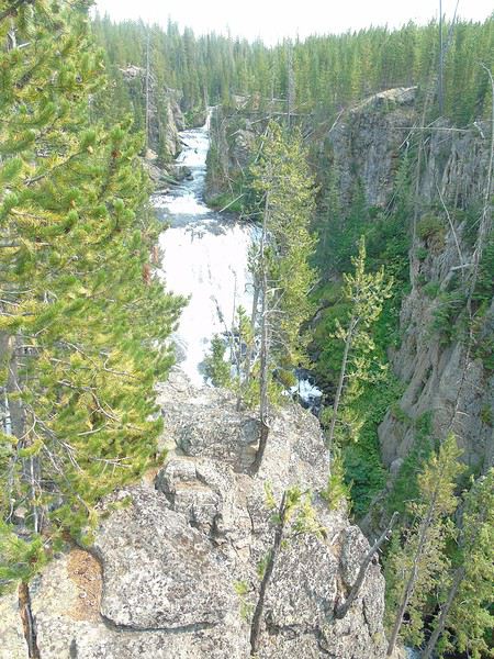
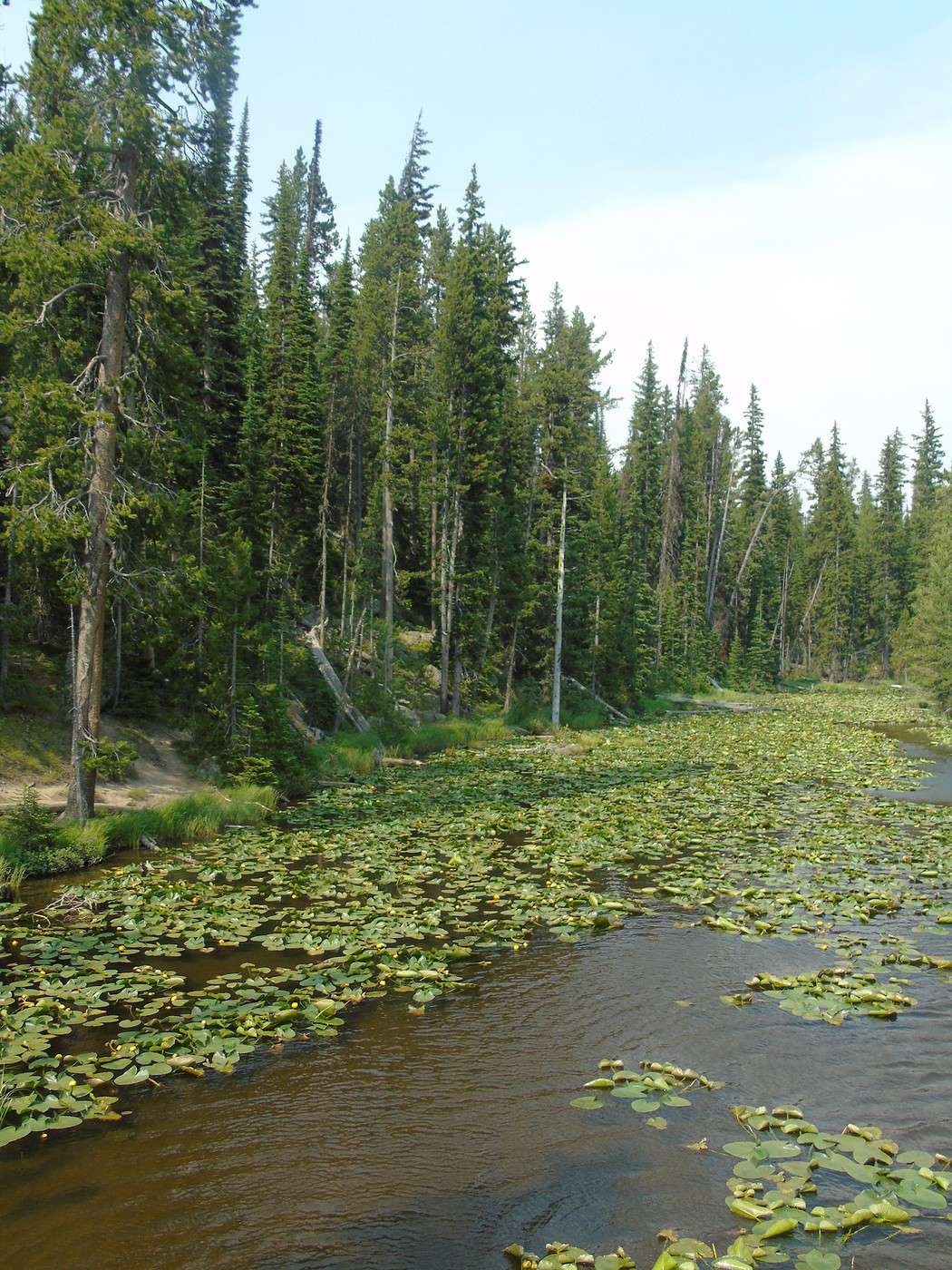
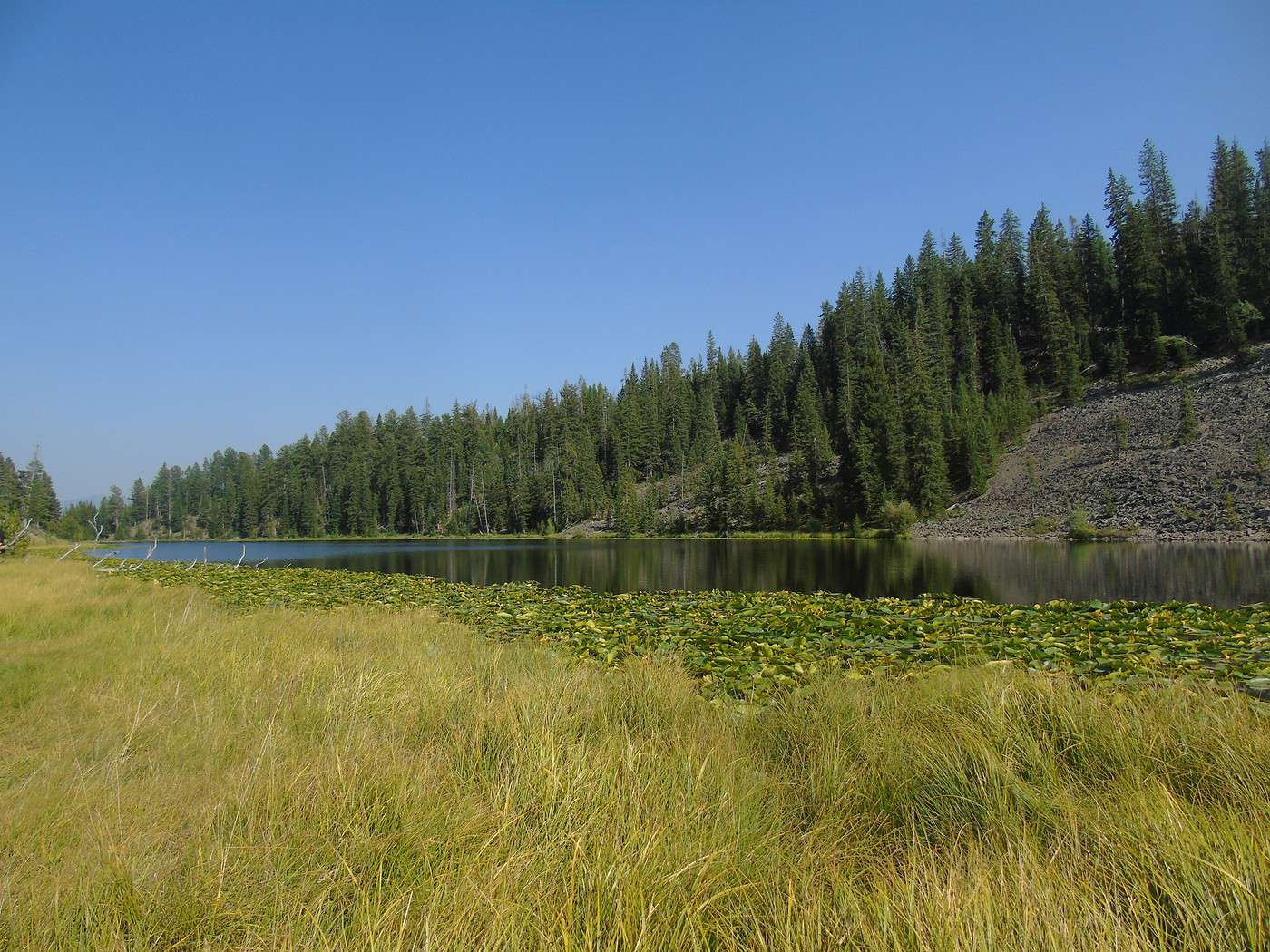
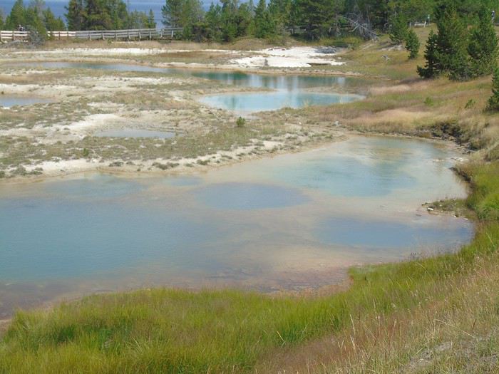 I’d planned to continue with the Yellowstone Lake Overlook Trail, but it’s getting late to start that hike. So we head toward Old Faithful, where we’ve booked cabins for two nights at Old Faithful Lodge. We stop along the way at Scaup Lake, by the roadside and covered in water lilies, and at Kepler Cascades, which are quite pretty.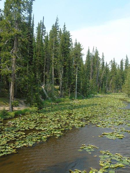
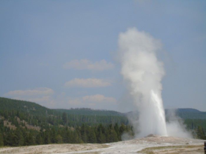
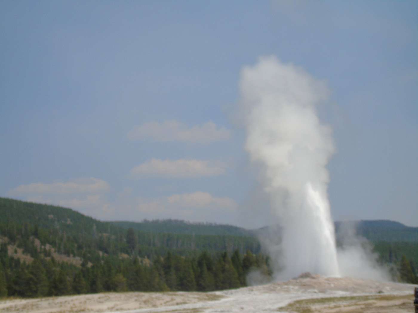
 When we arrive at the Old Faithful site, its eruption is imminent, so we go admire it, along with a big crowd. Then we check into our two cabins—three people each, no bathroom but with a sink. They’re adjoining and form a single block. Great accommodation, quiet, very clean, and not too expensive (102 € per cabin). The restrooms are nearby, and there are picnic tables available (cooking in the cabins is not allowed).
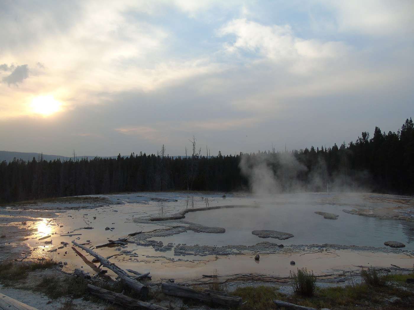
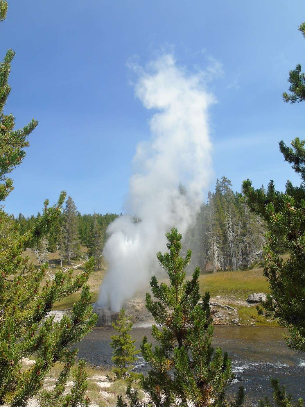
 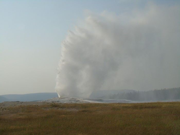 We head back out at the end of the day to see another Old Faithful eruption from Observation Point Trail. Not many people around, and it’s a beautiful show from this viewpoint. We continue to Solitary Geyser, stunning with the sunset. A peaceful hike, far from the crowds, about 4 km long.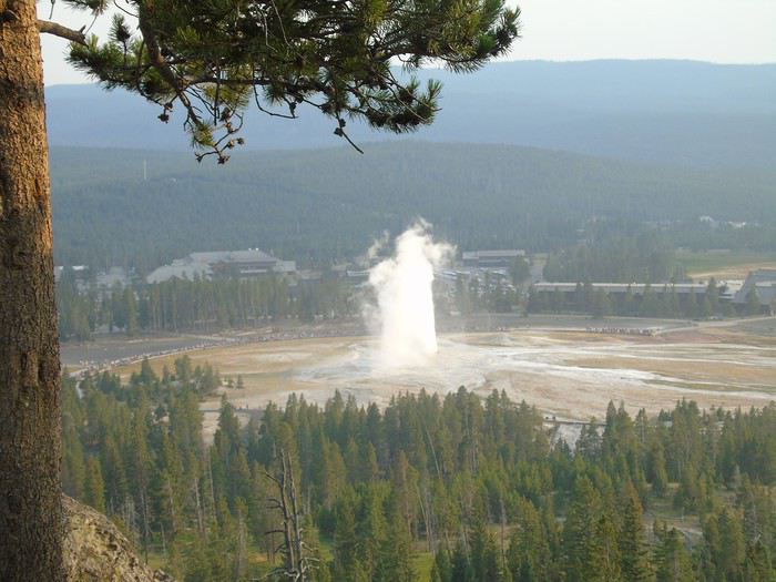
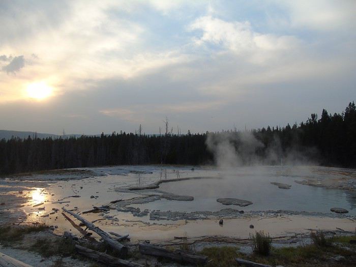
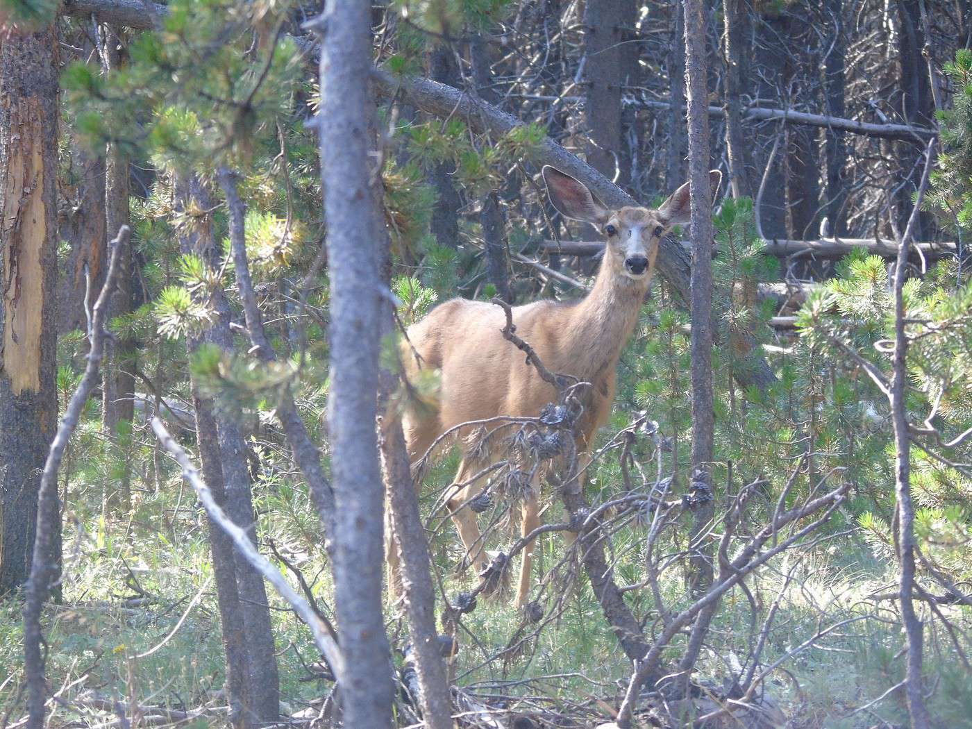
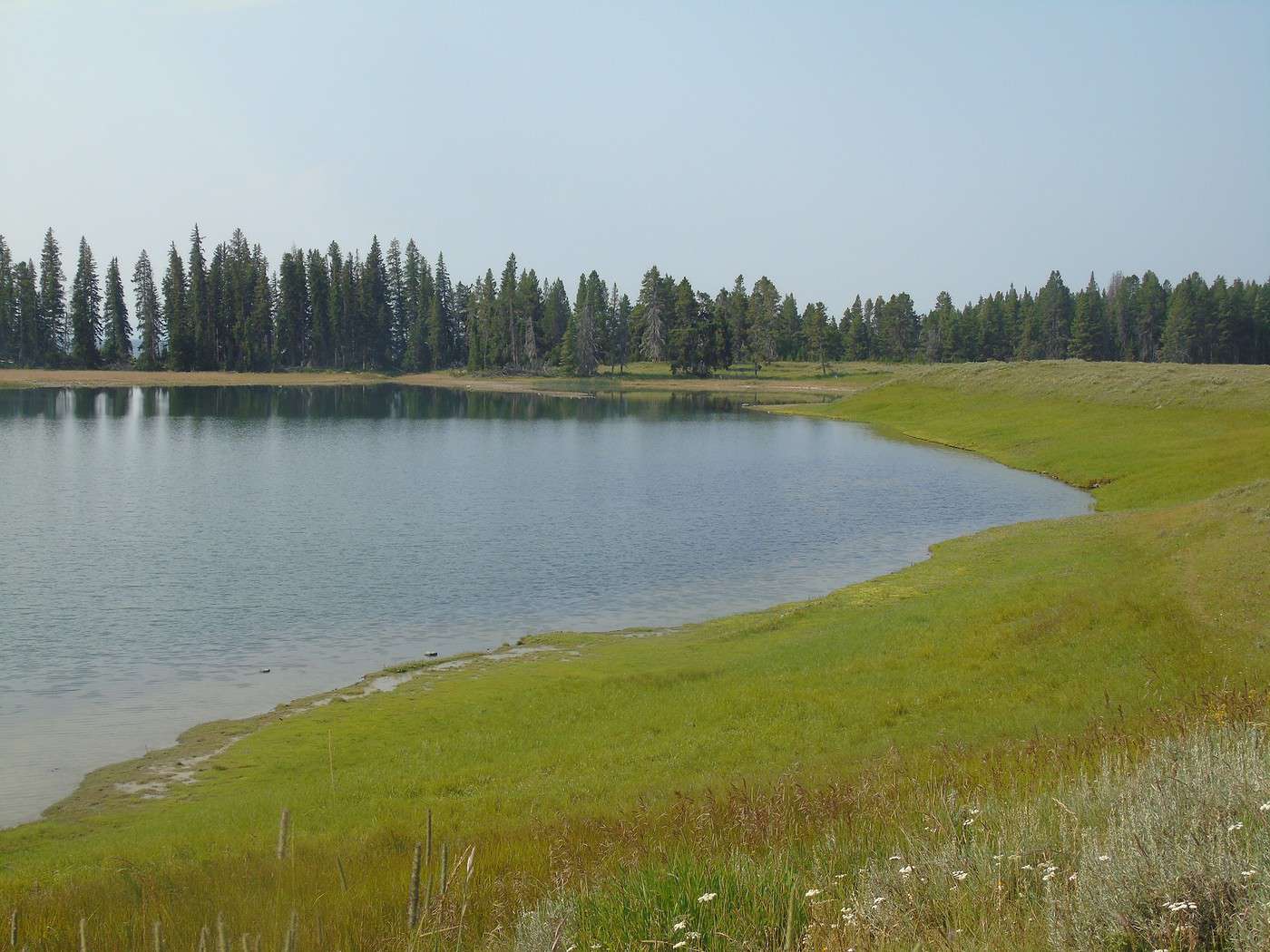
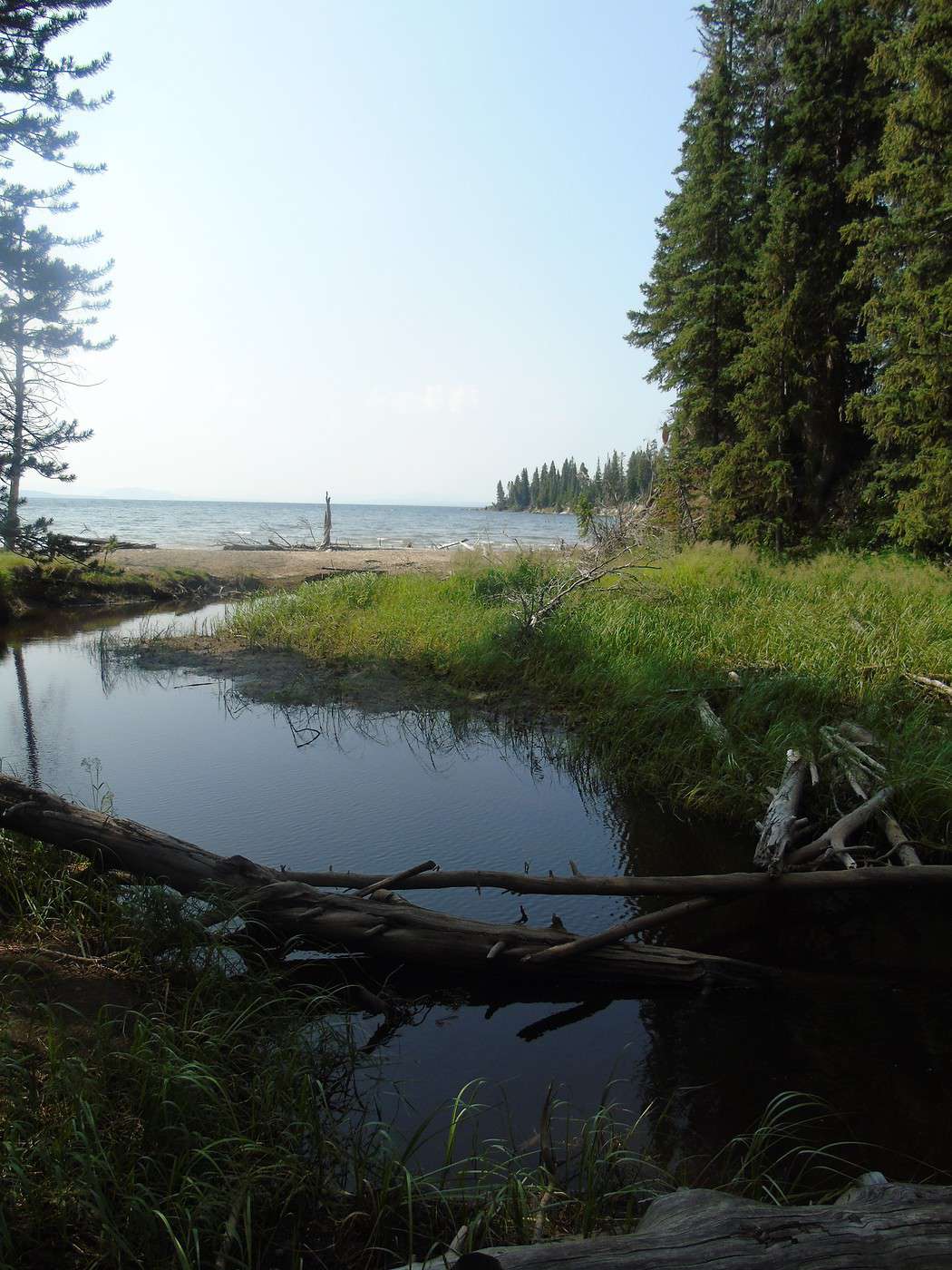
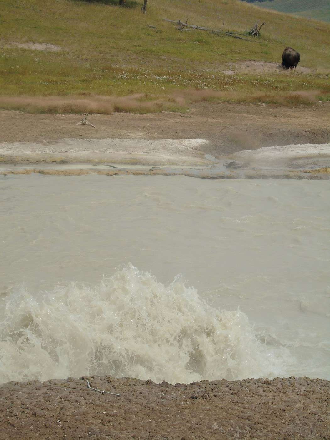
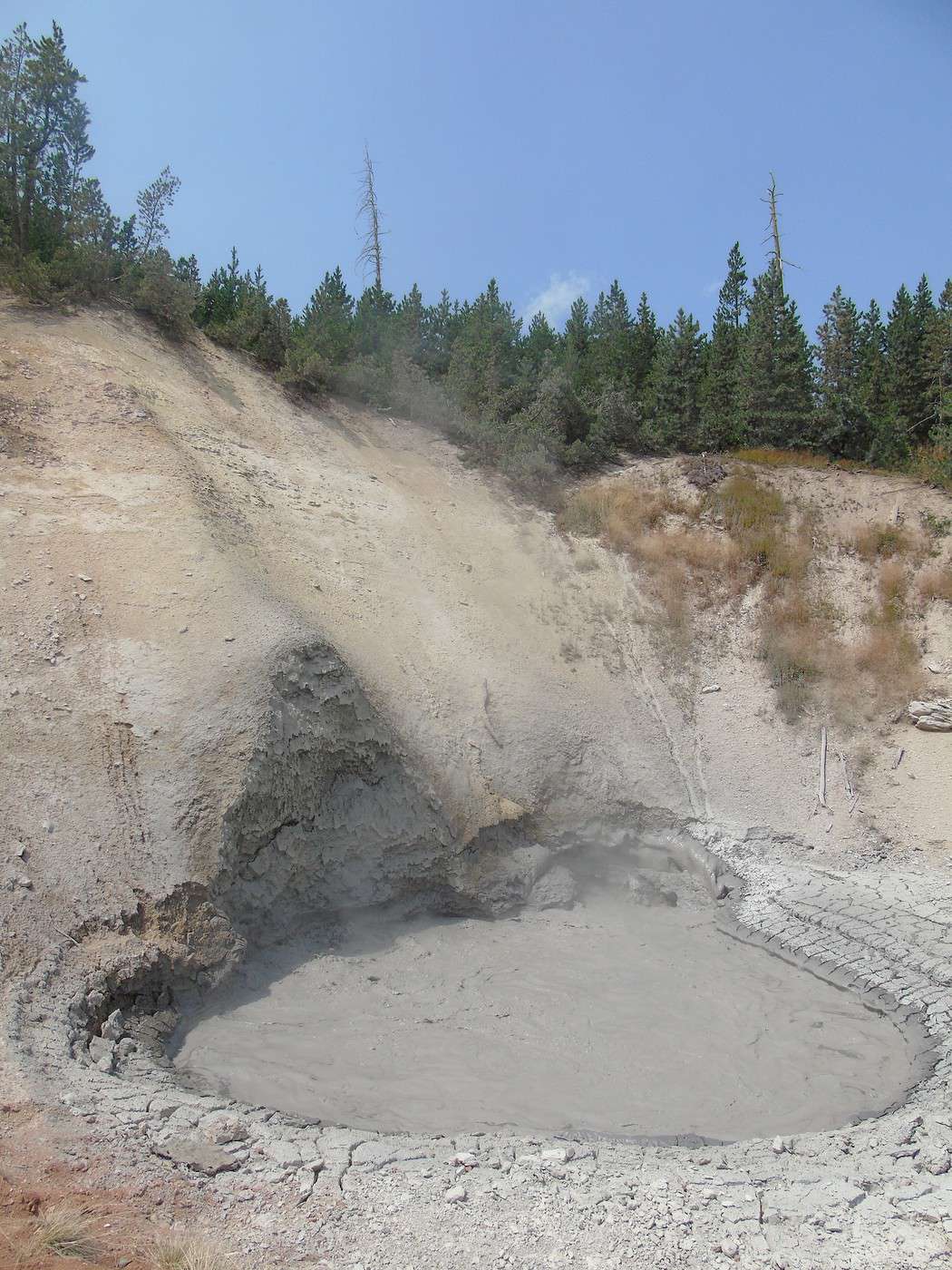
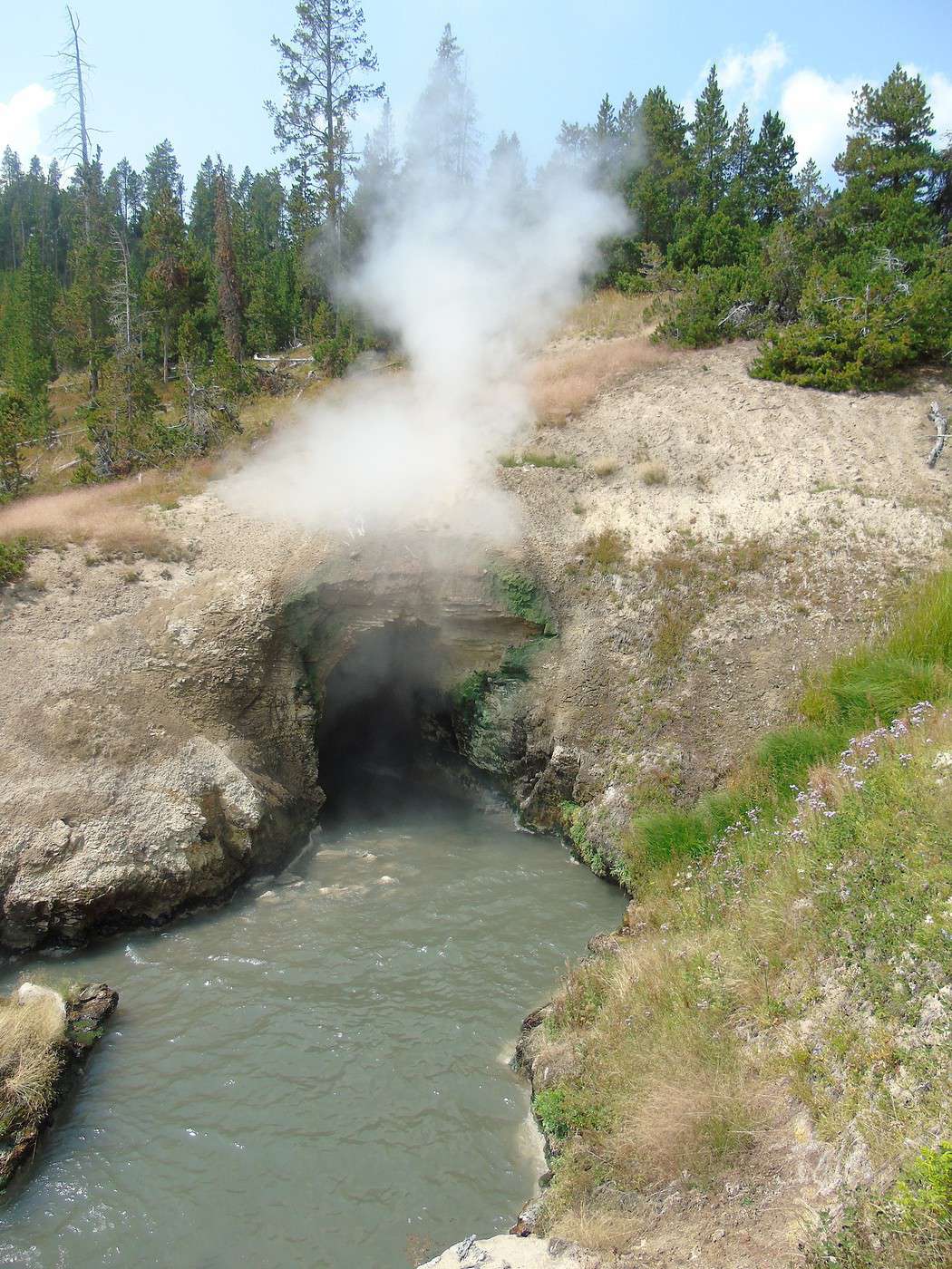
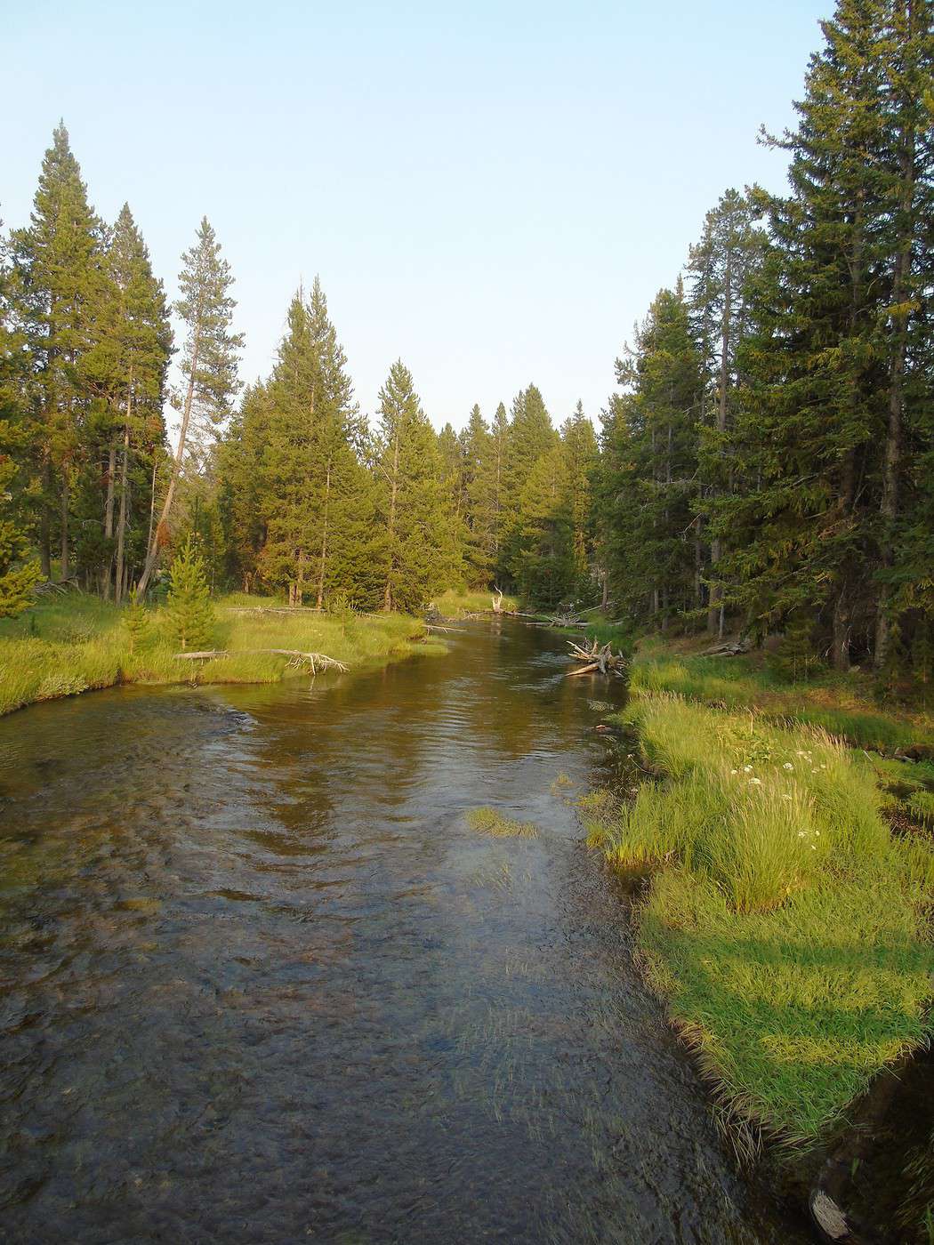
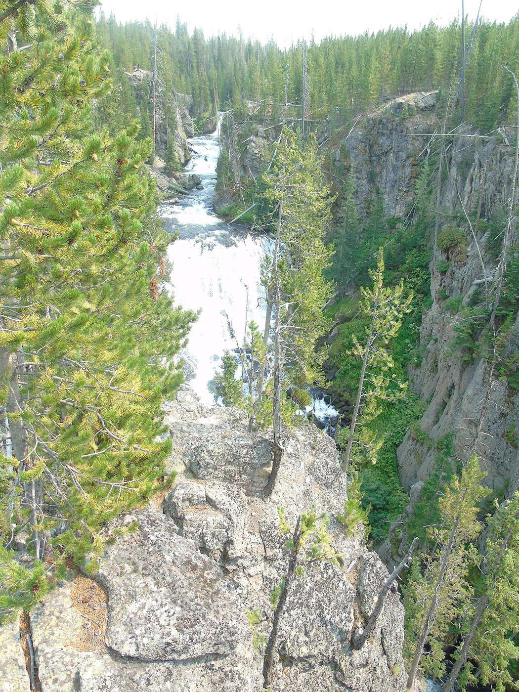
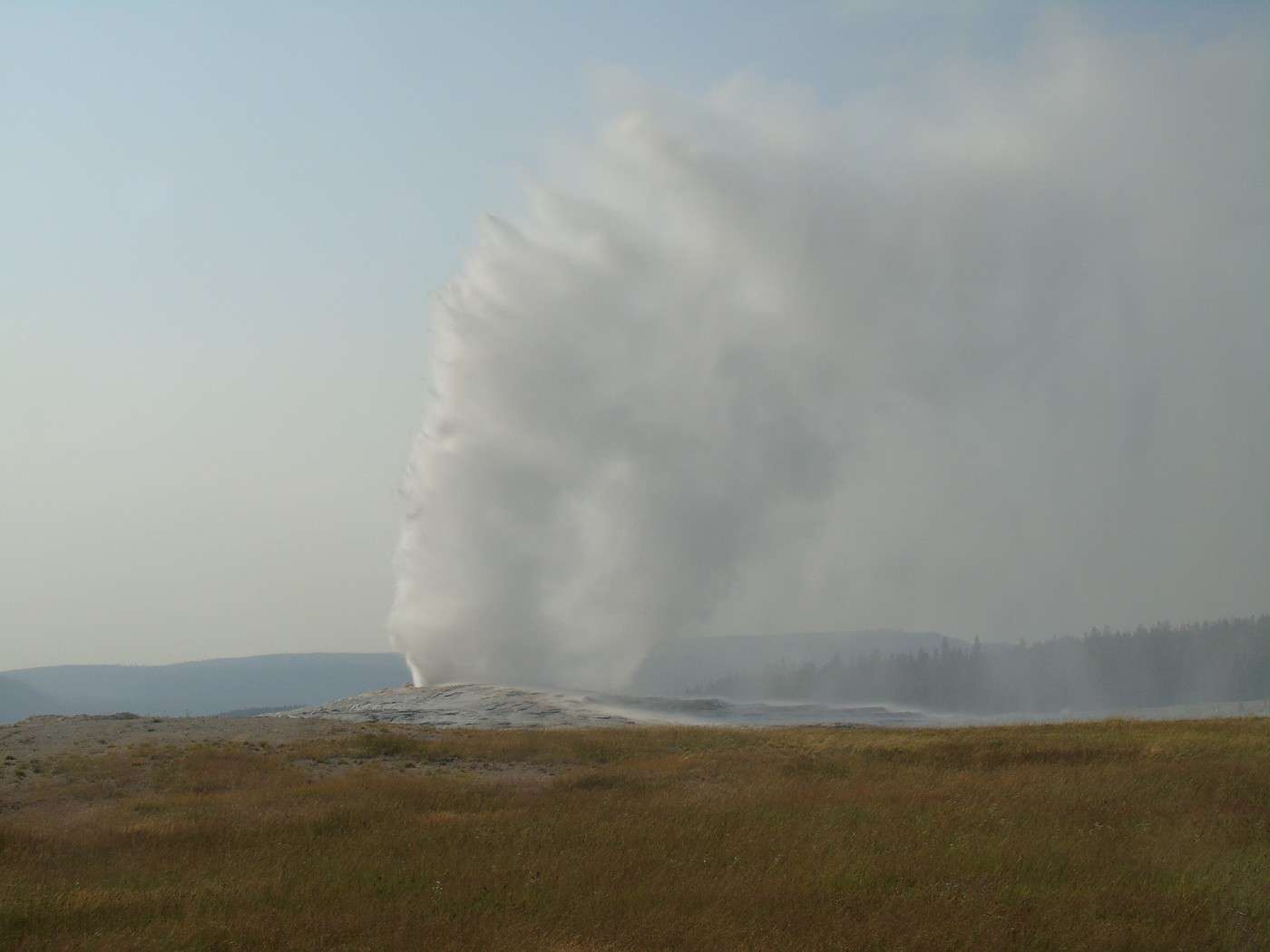
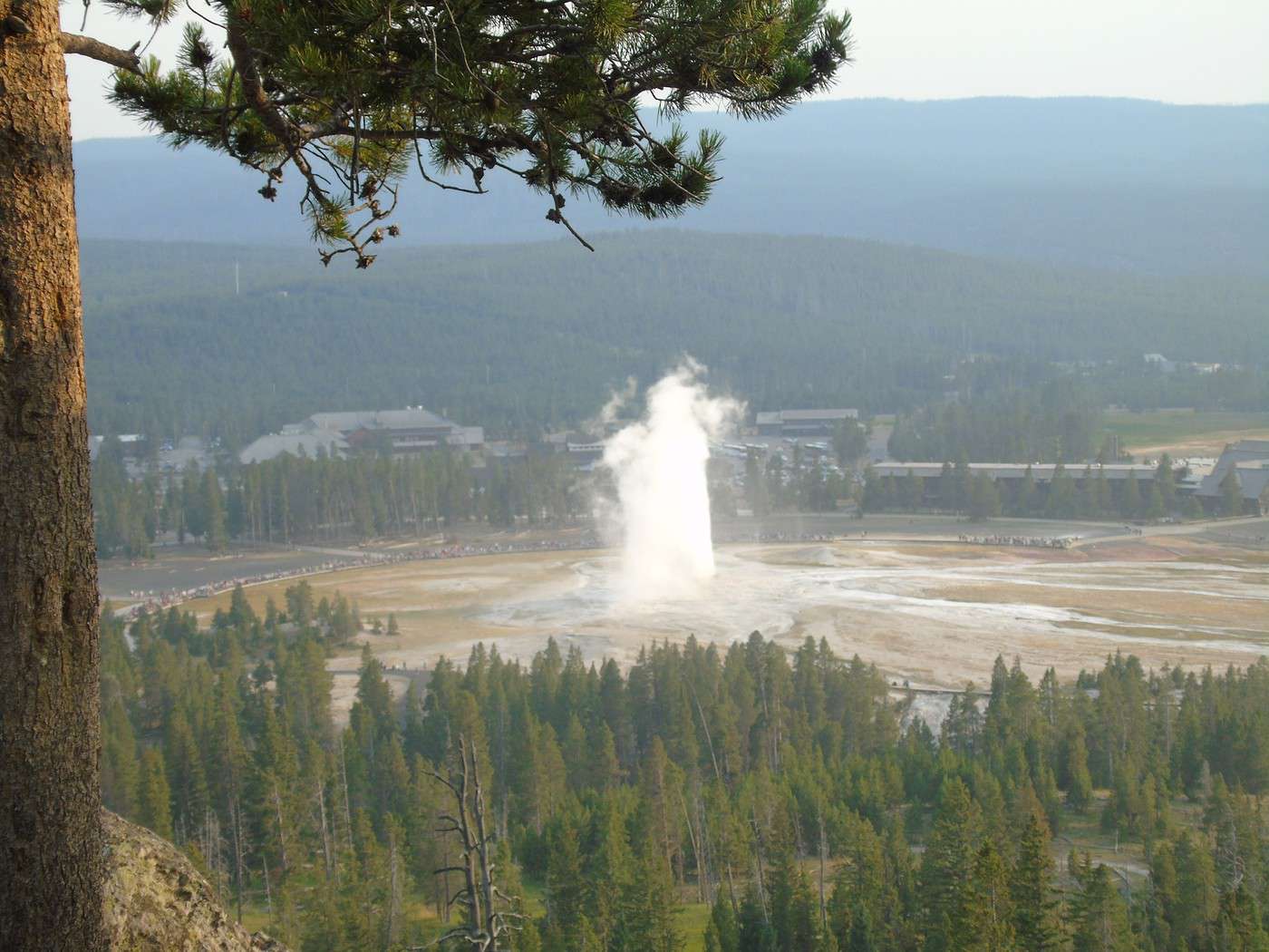
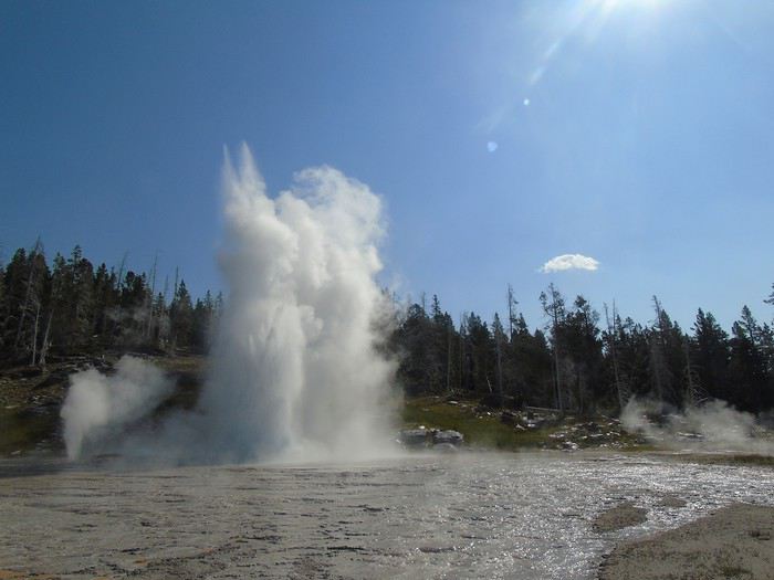
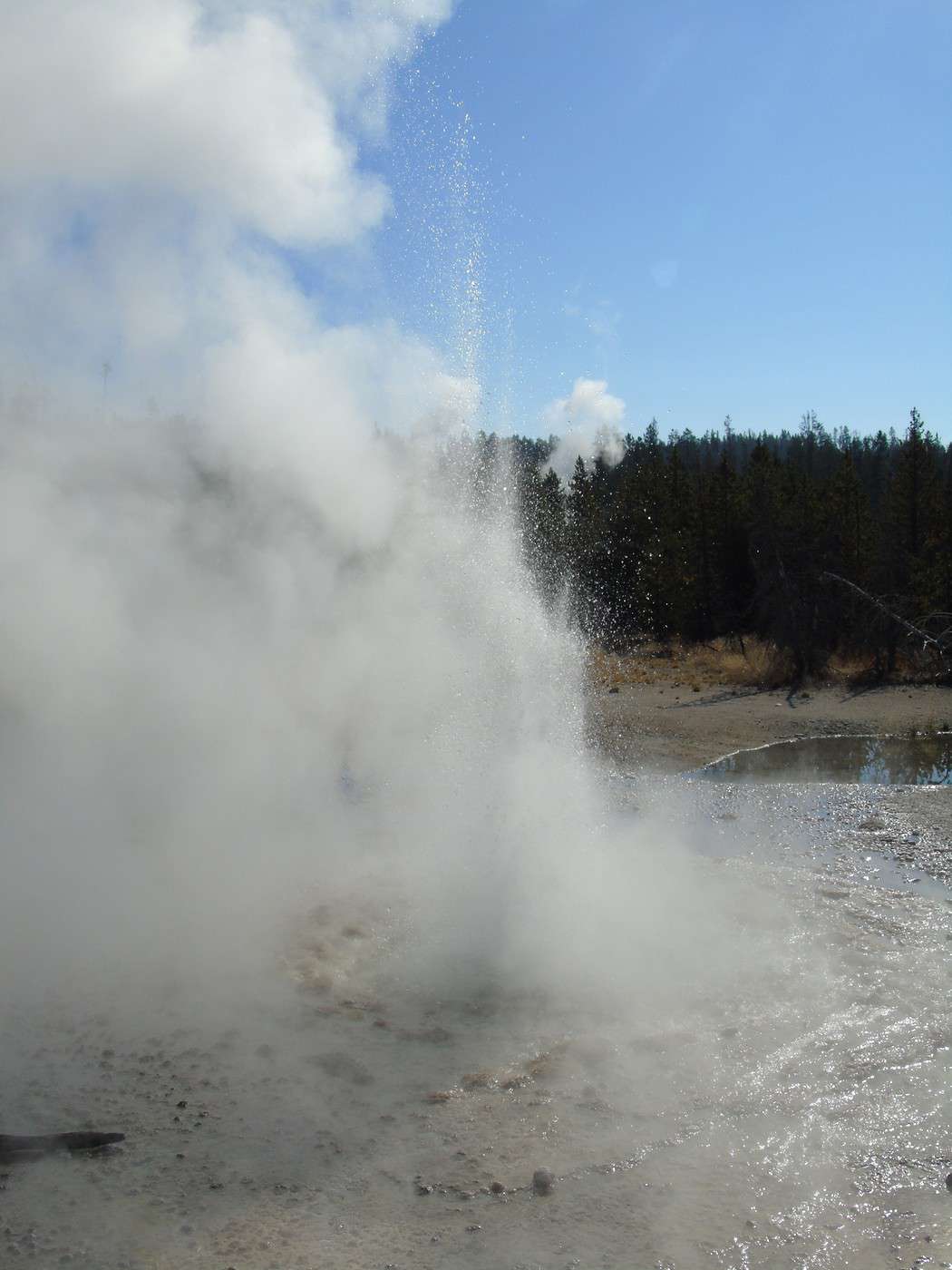
 We watch Old Faithful erupt from the boardwalks. It gives us a different perspective.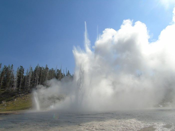
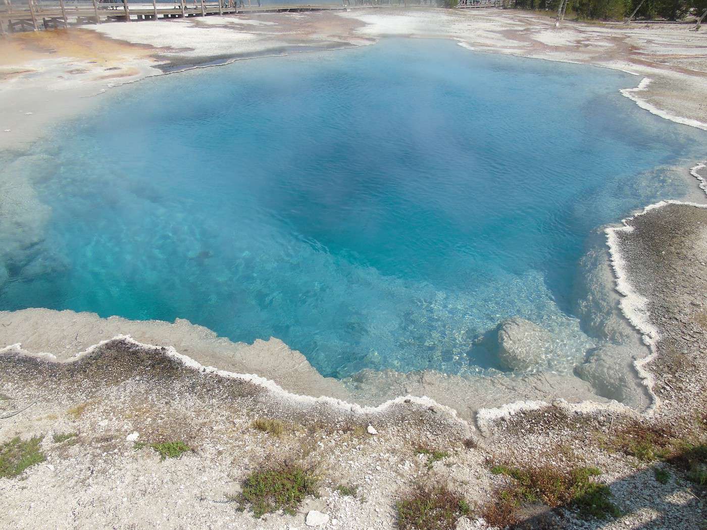
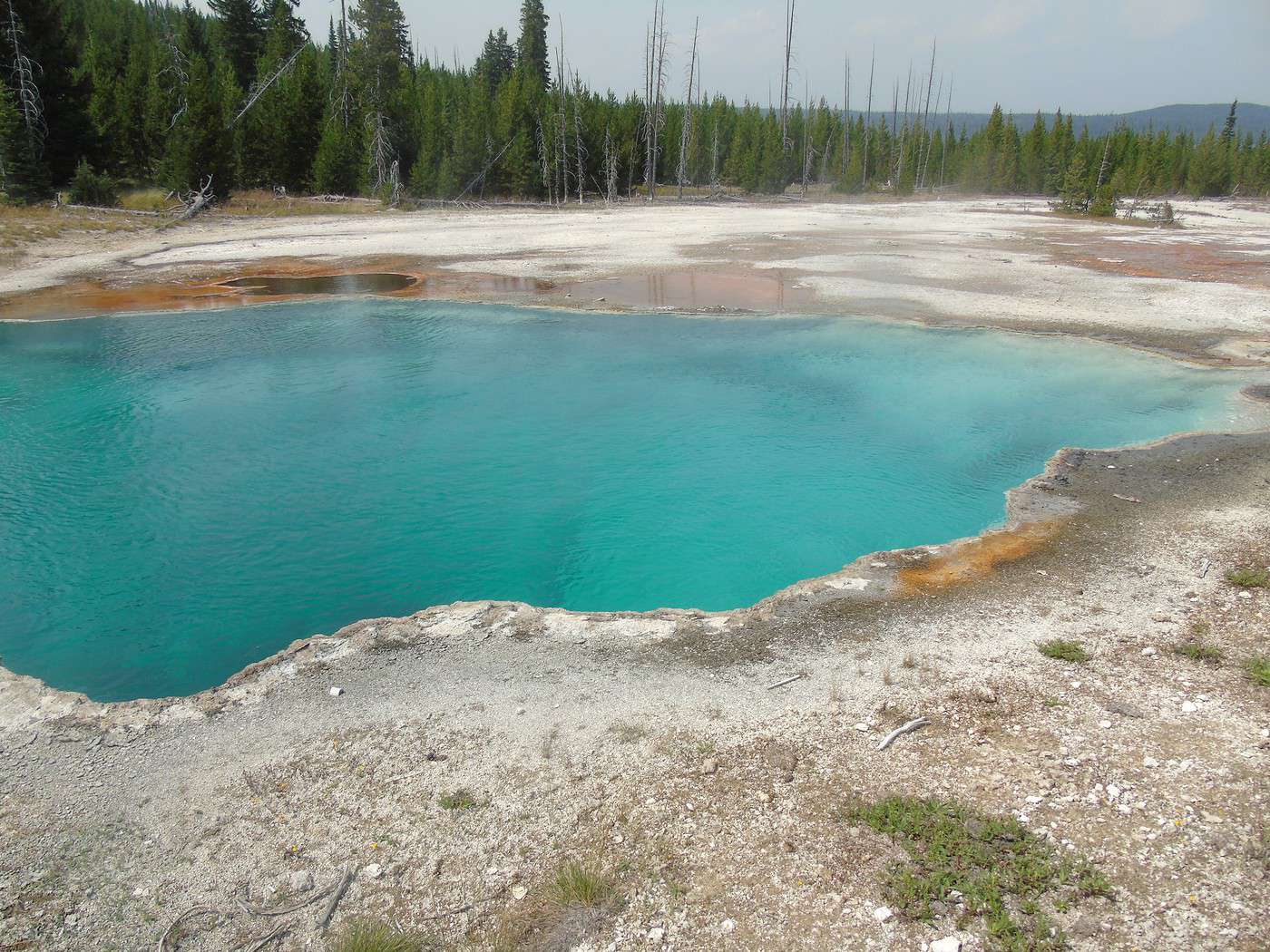
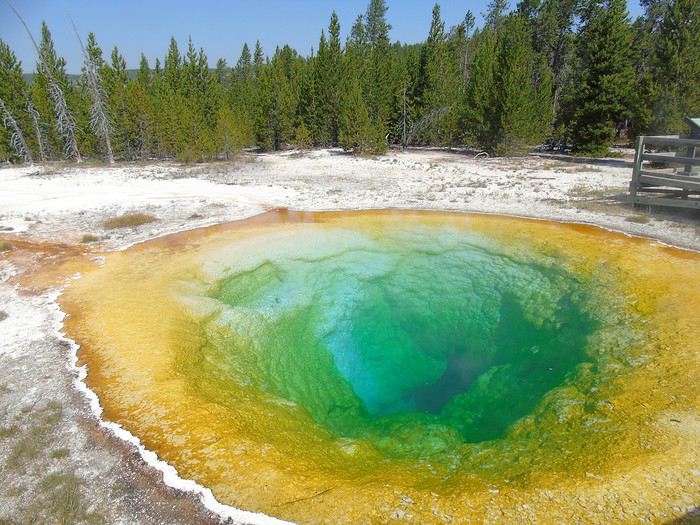
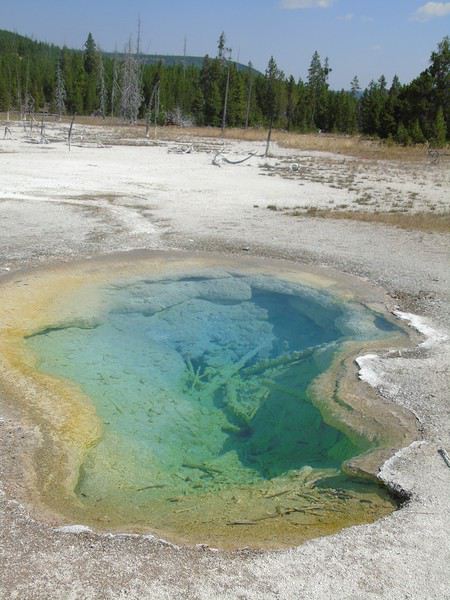
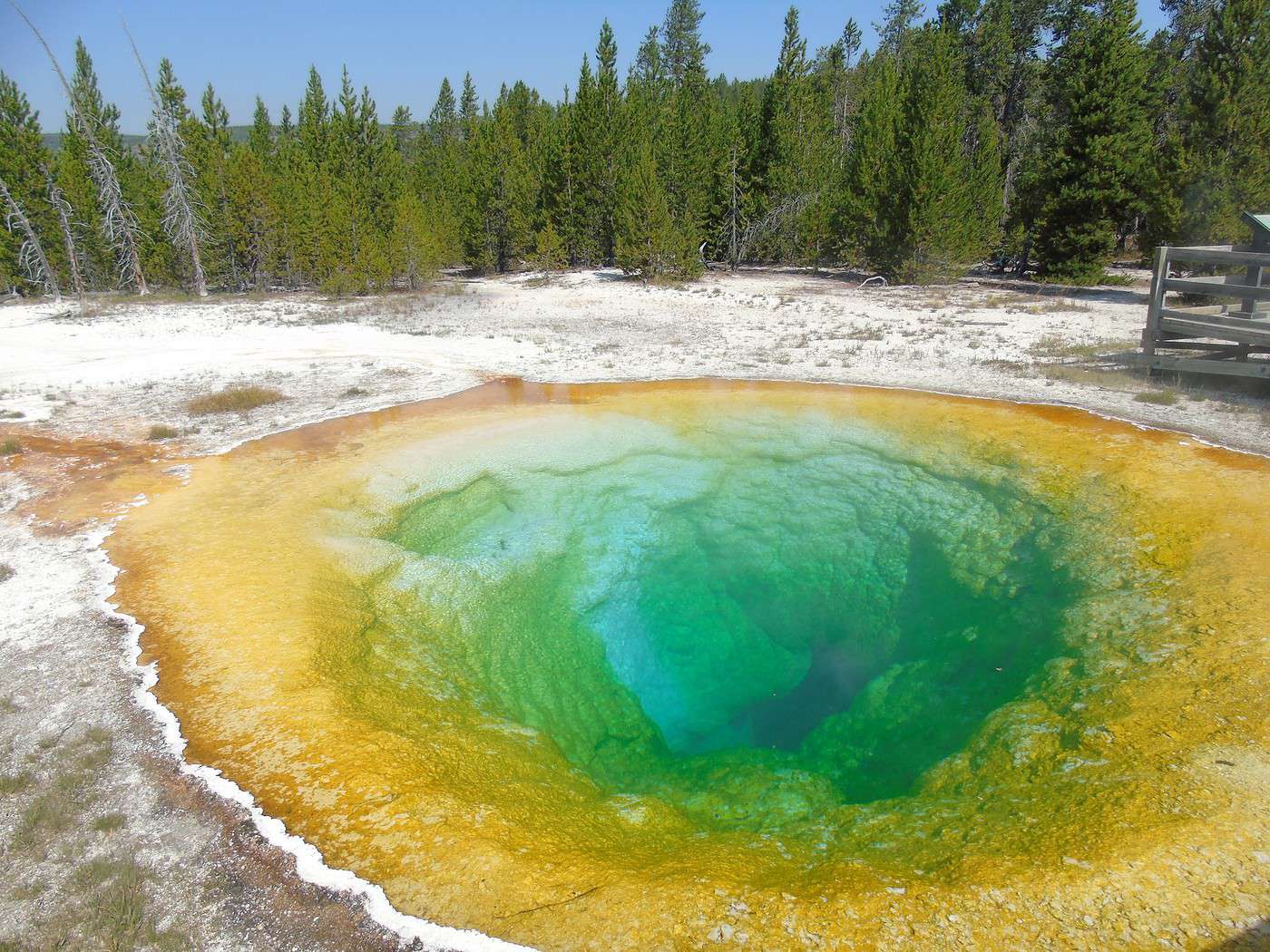
 We continue our walk, skipping Riverside Geyser since we hope to see its eruption on the way back. We reach Morning Glory Pool—what incredible colors!
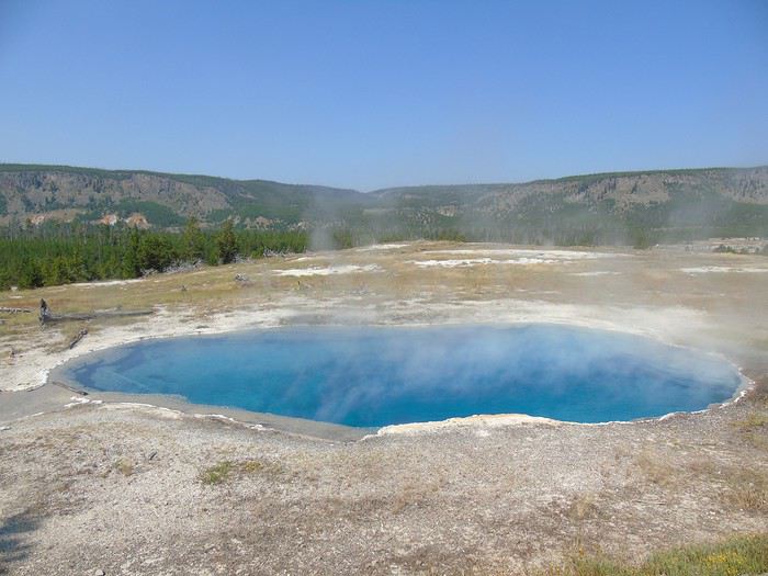
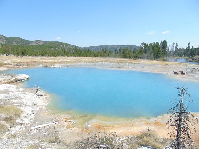
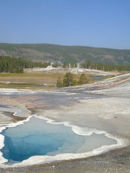
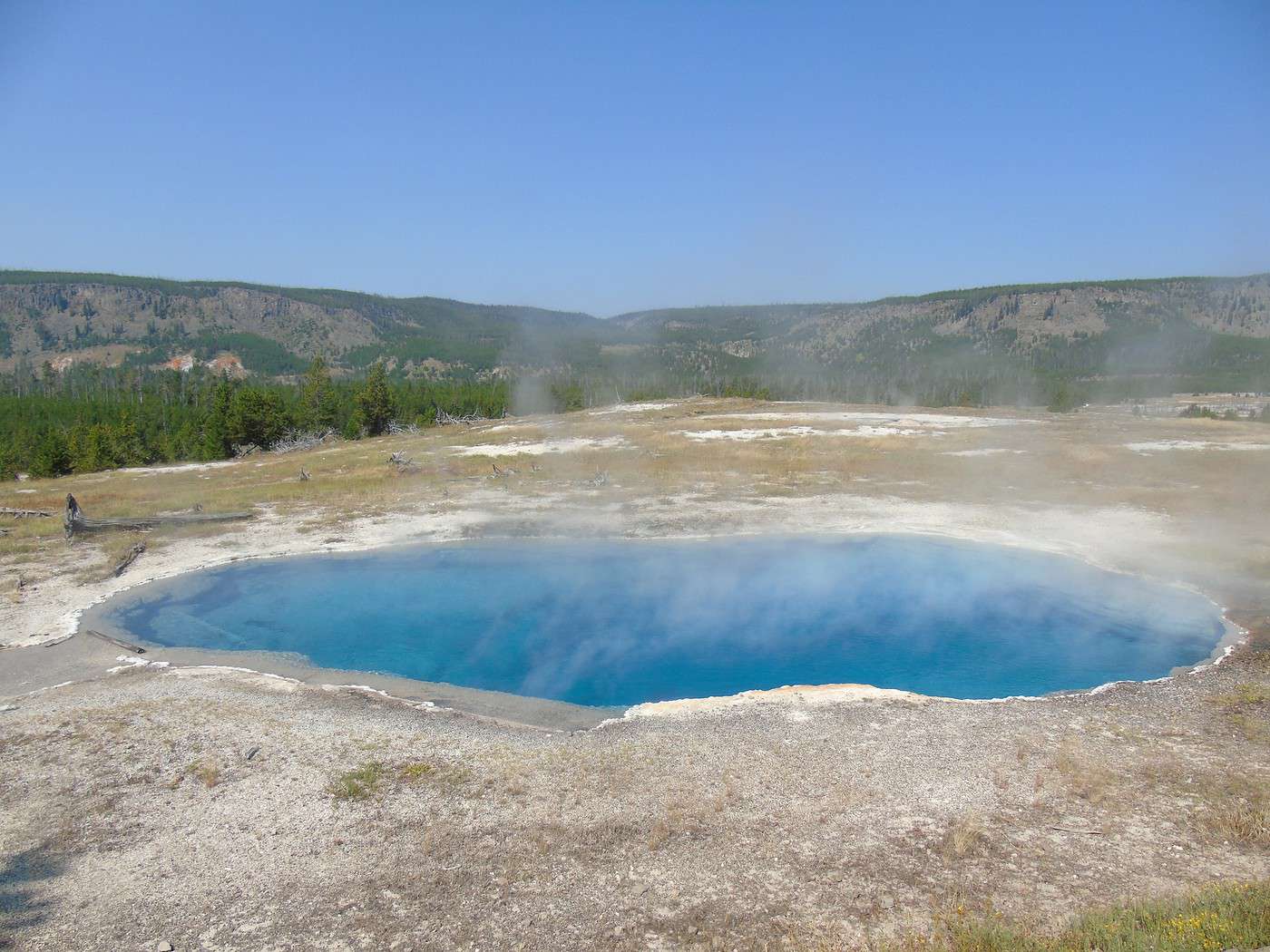
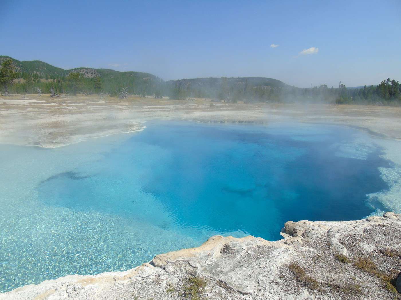
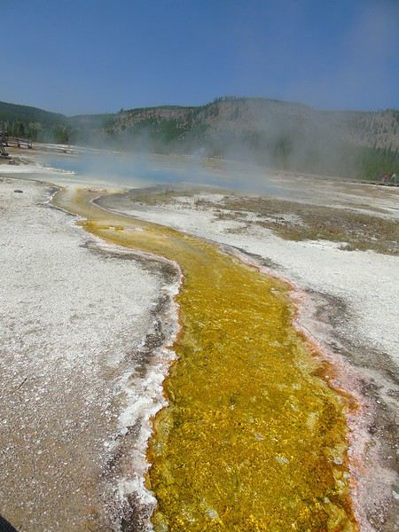 Sapphire Pool is gorgeous—more stunning colors.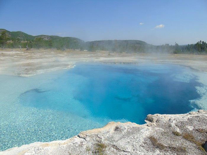
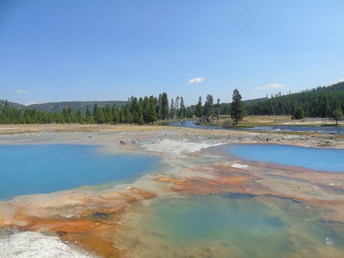
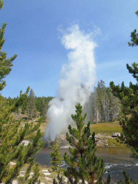
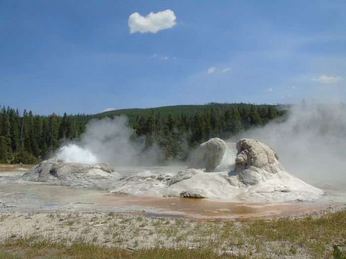
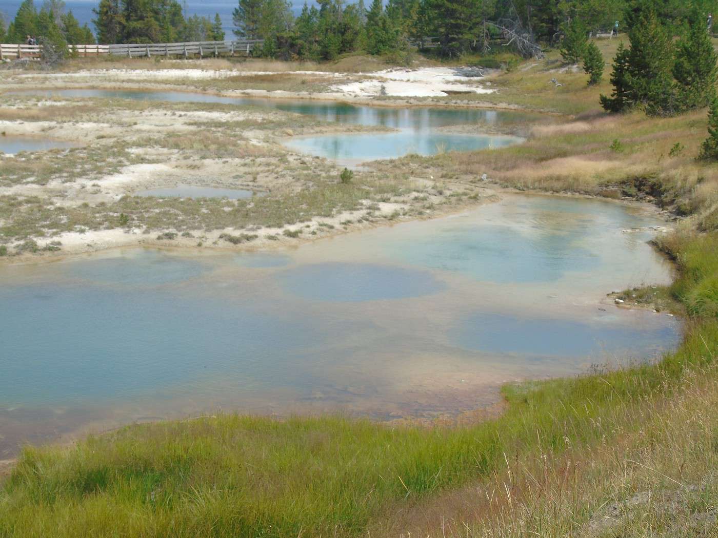
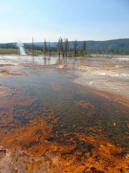
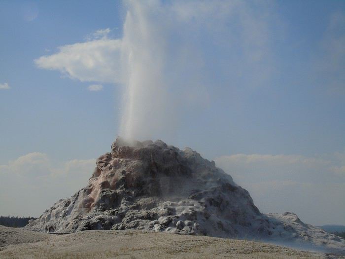 Still, it’s a beautiful and not-too-crowded loop.
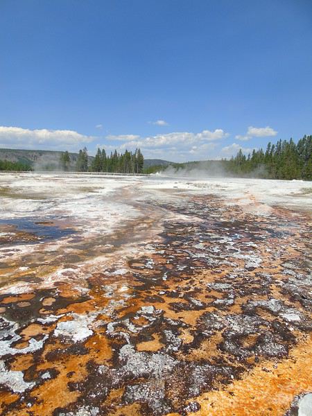
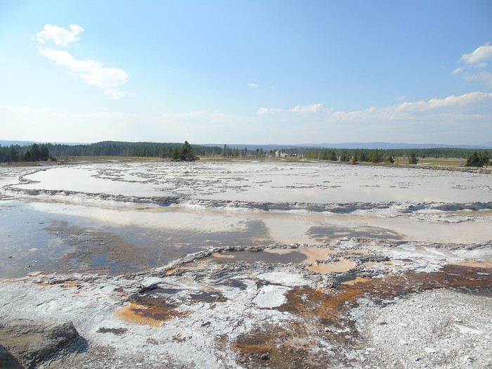
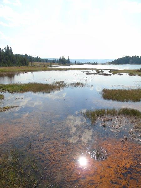
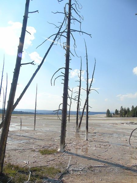
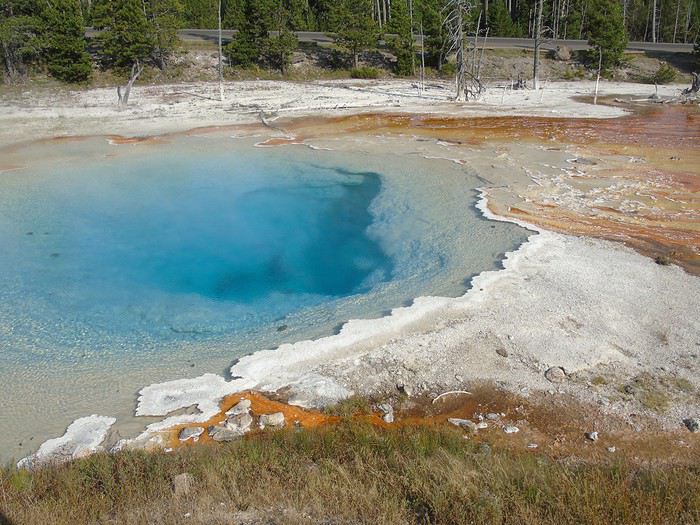
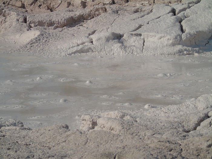
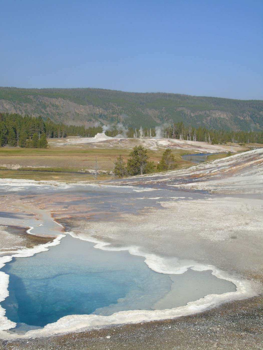
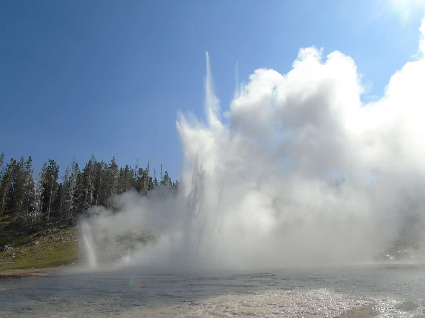
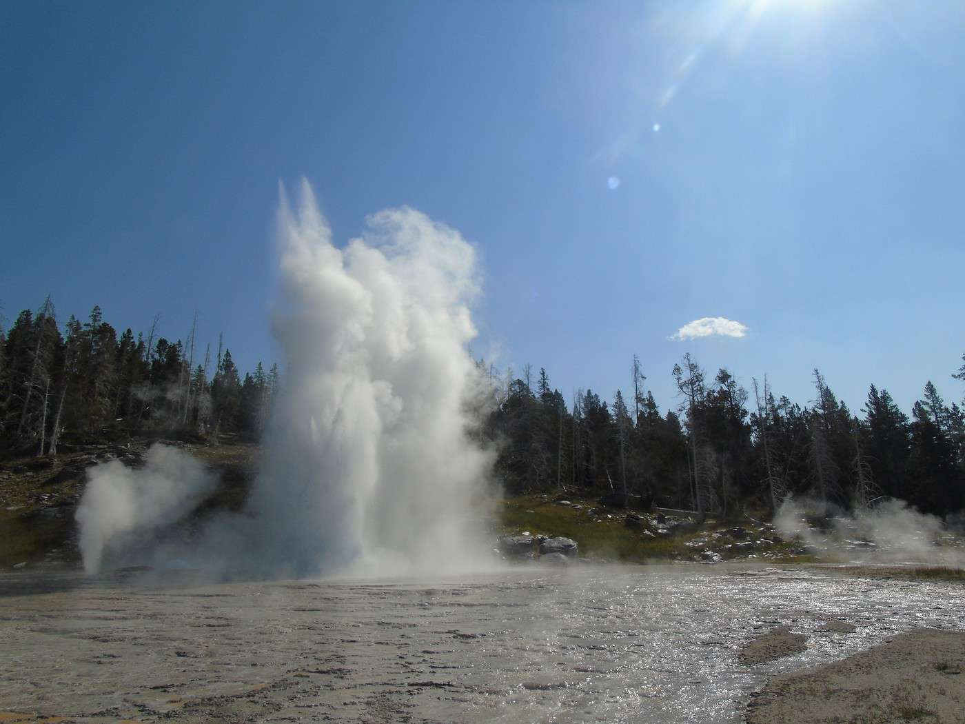
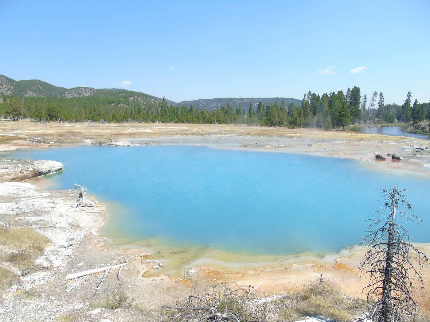
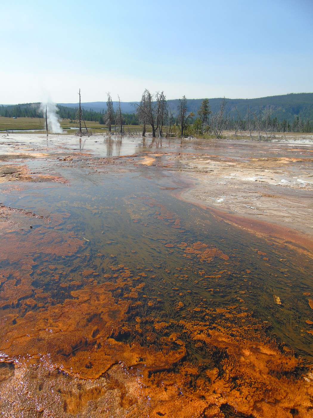
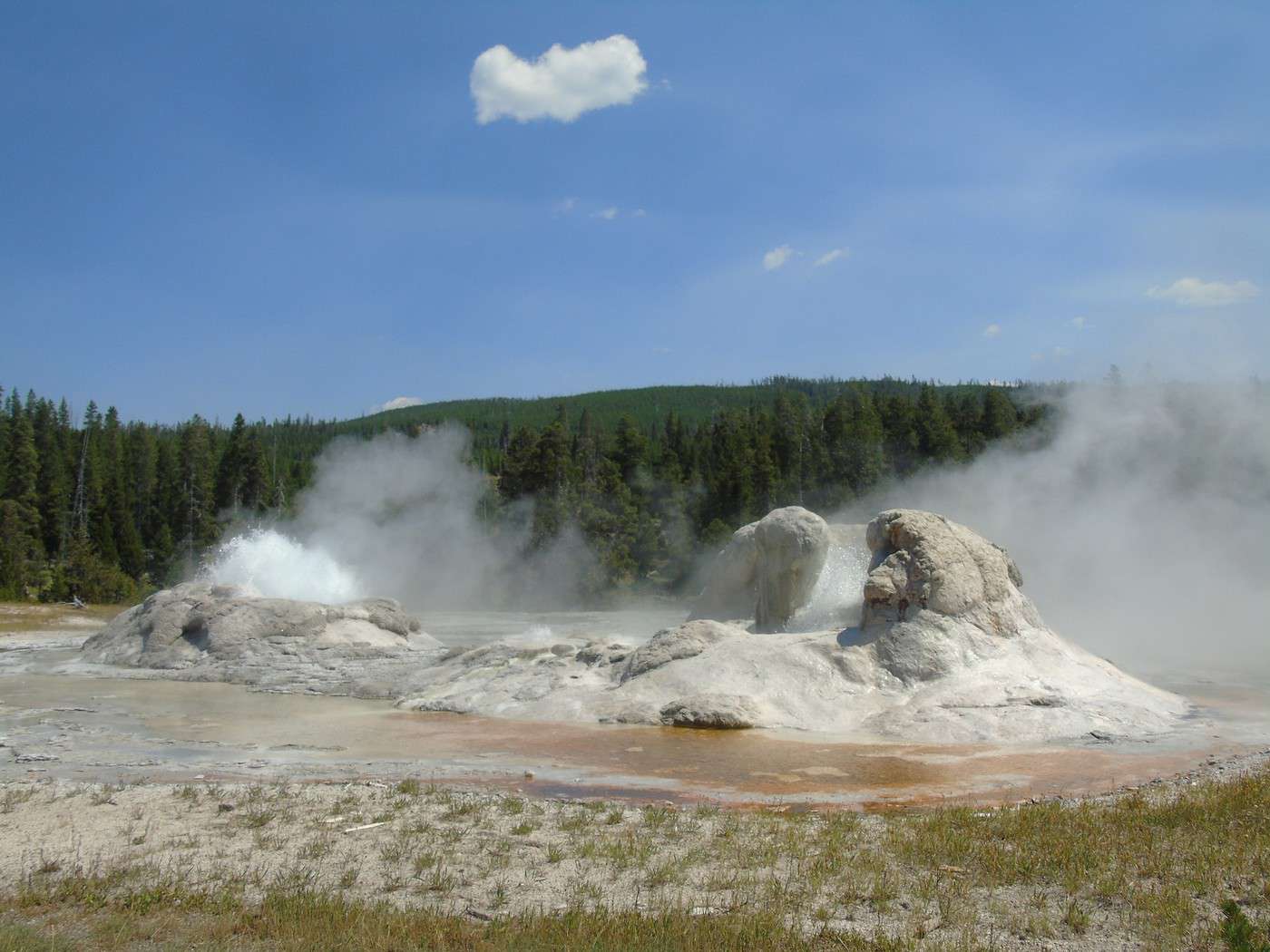
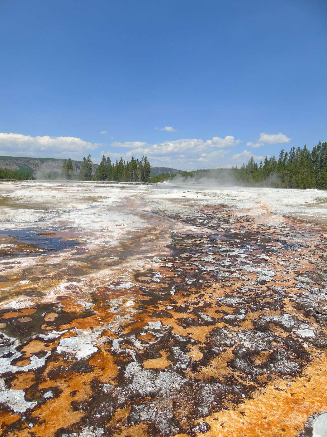
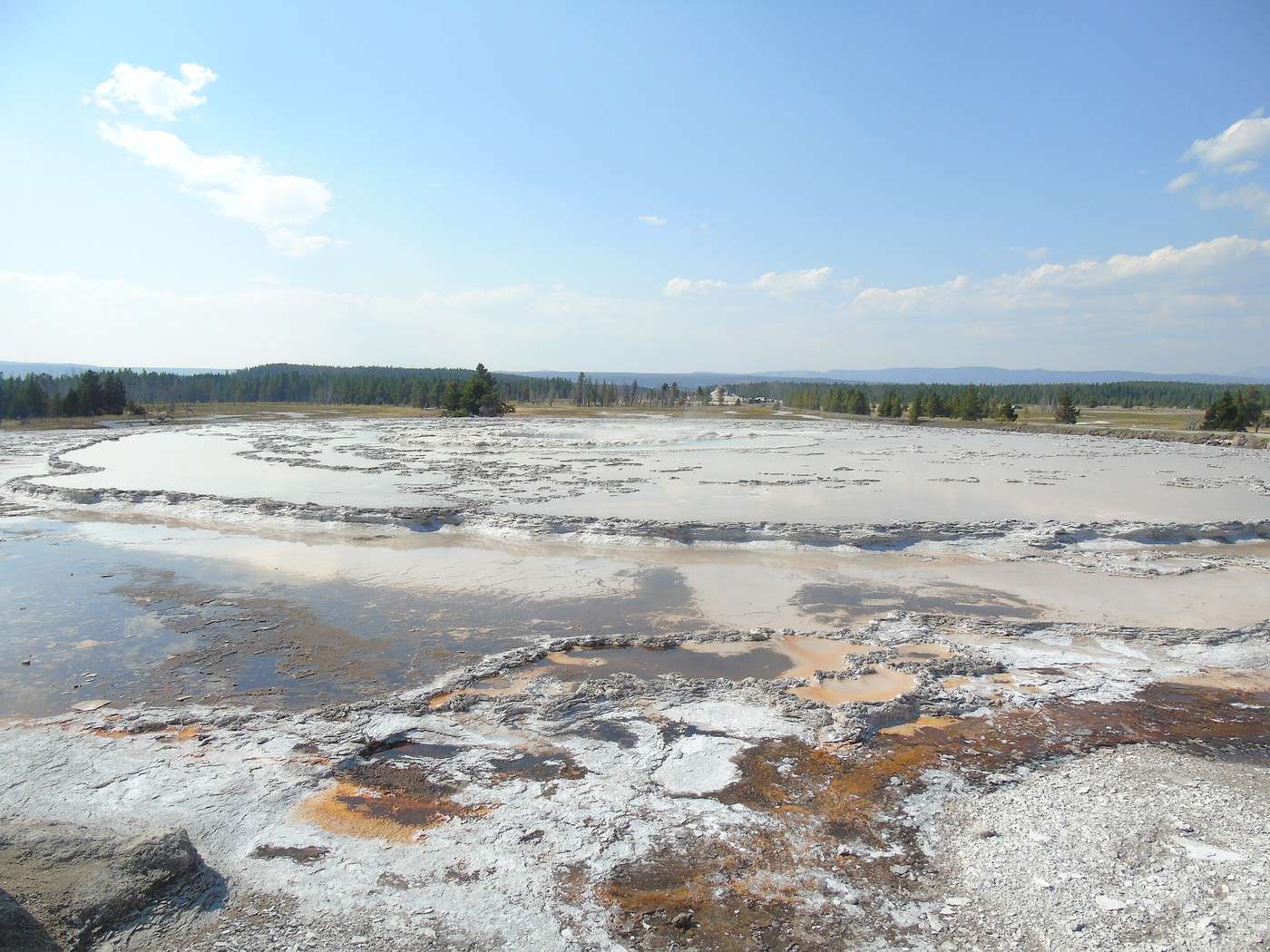
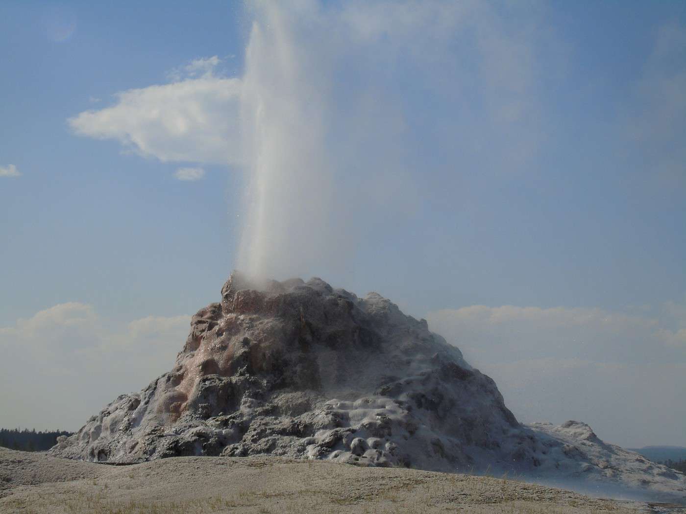
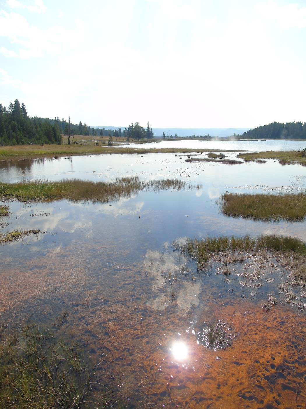
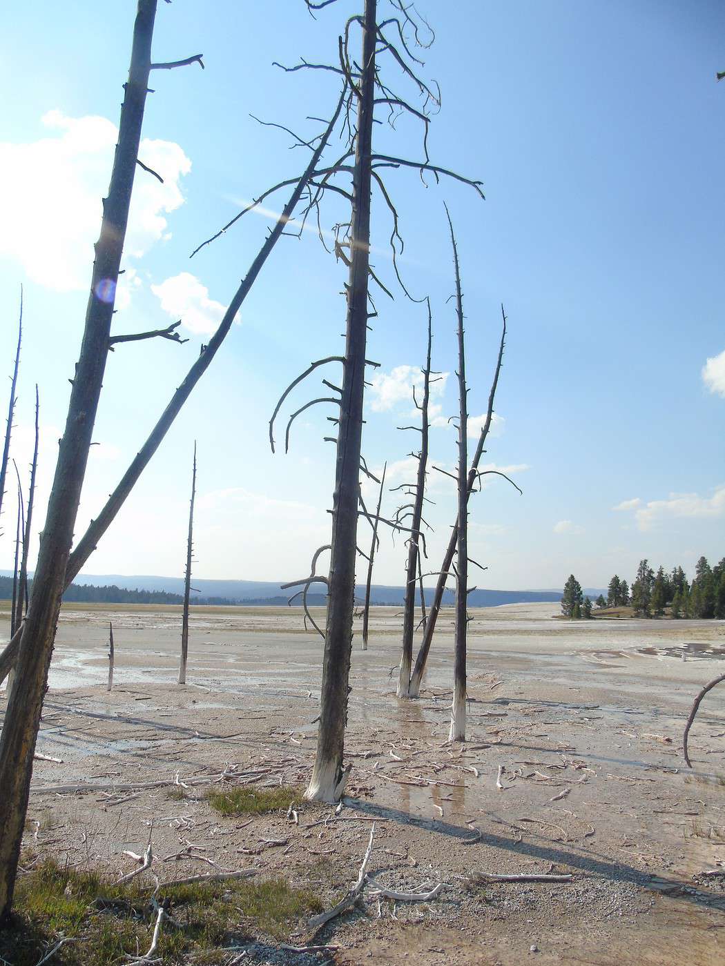
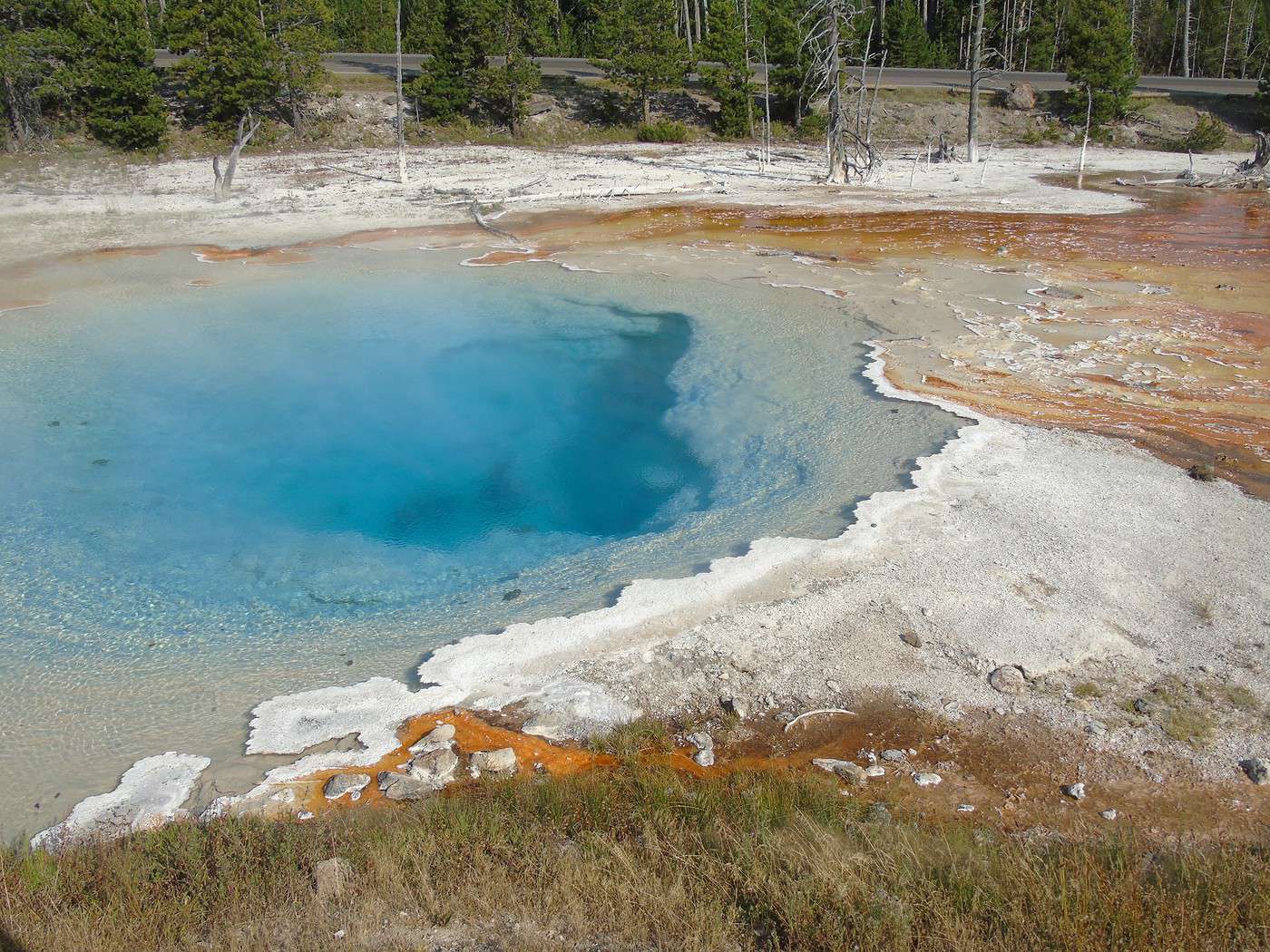
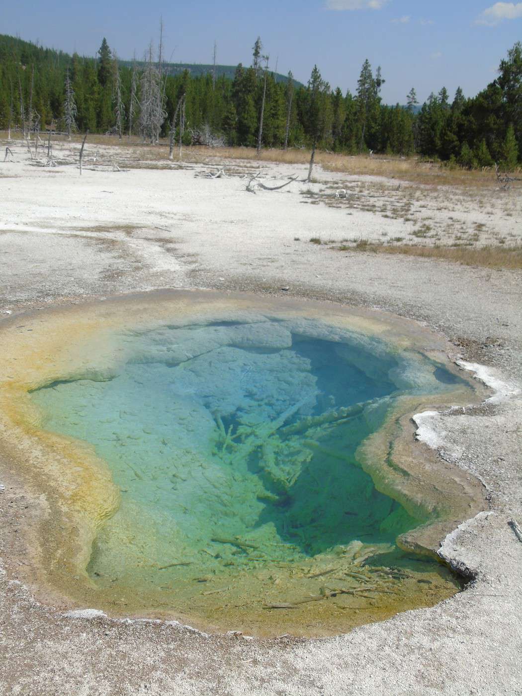
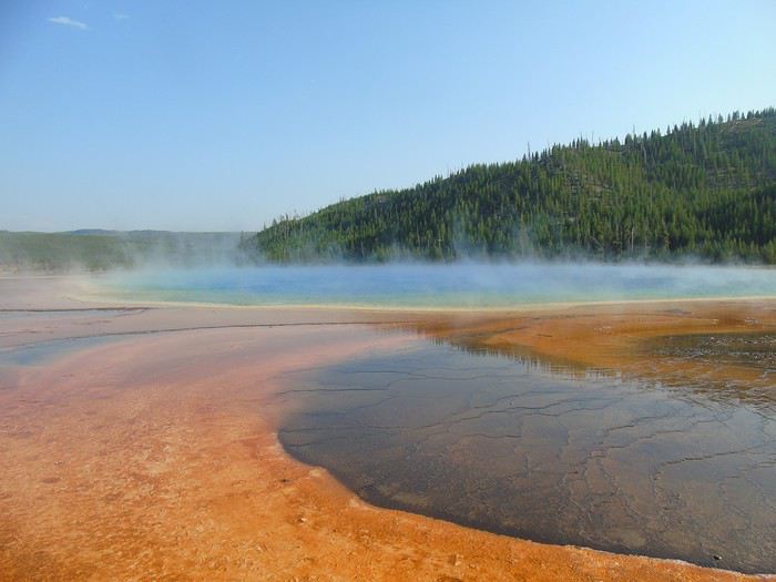
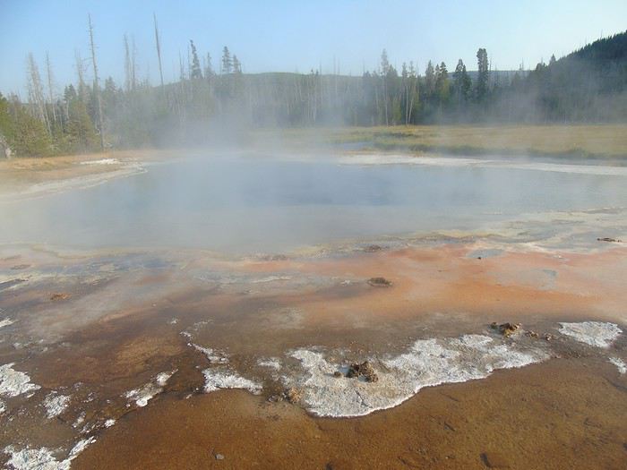
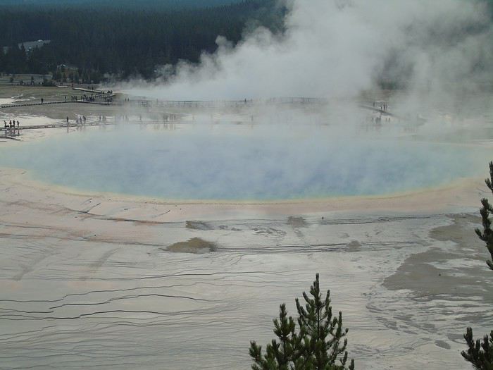
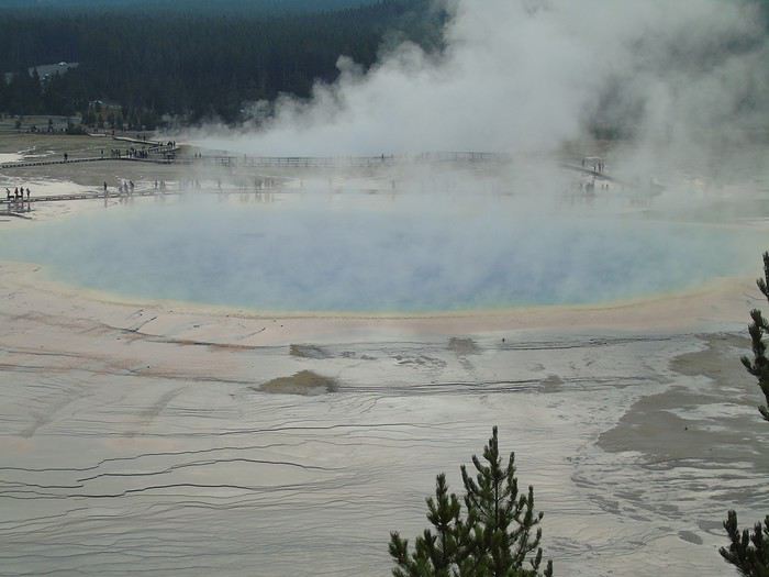
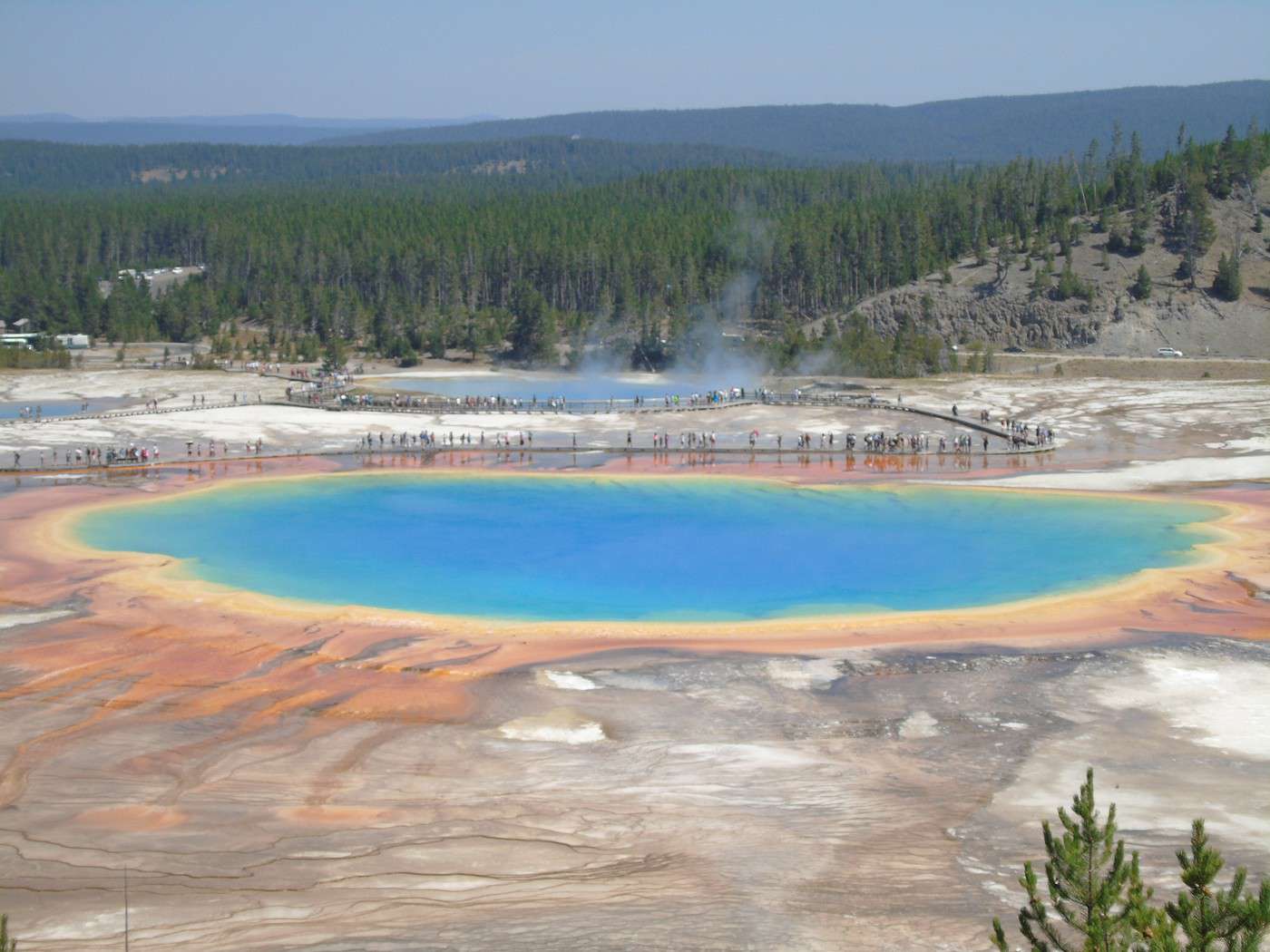
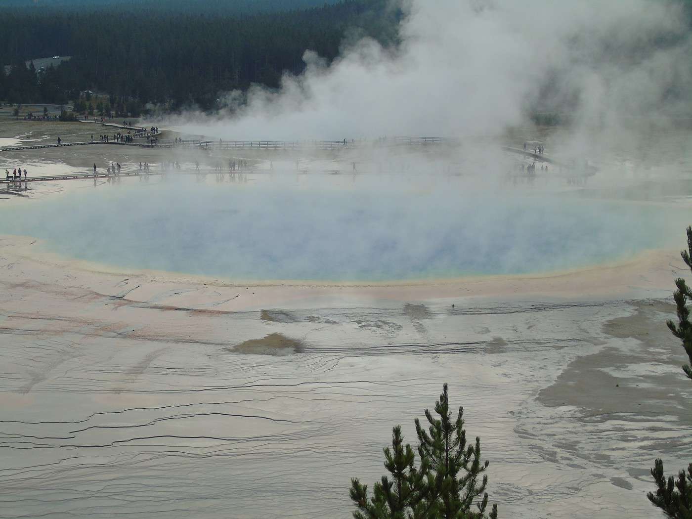
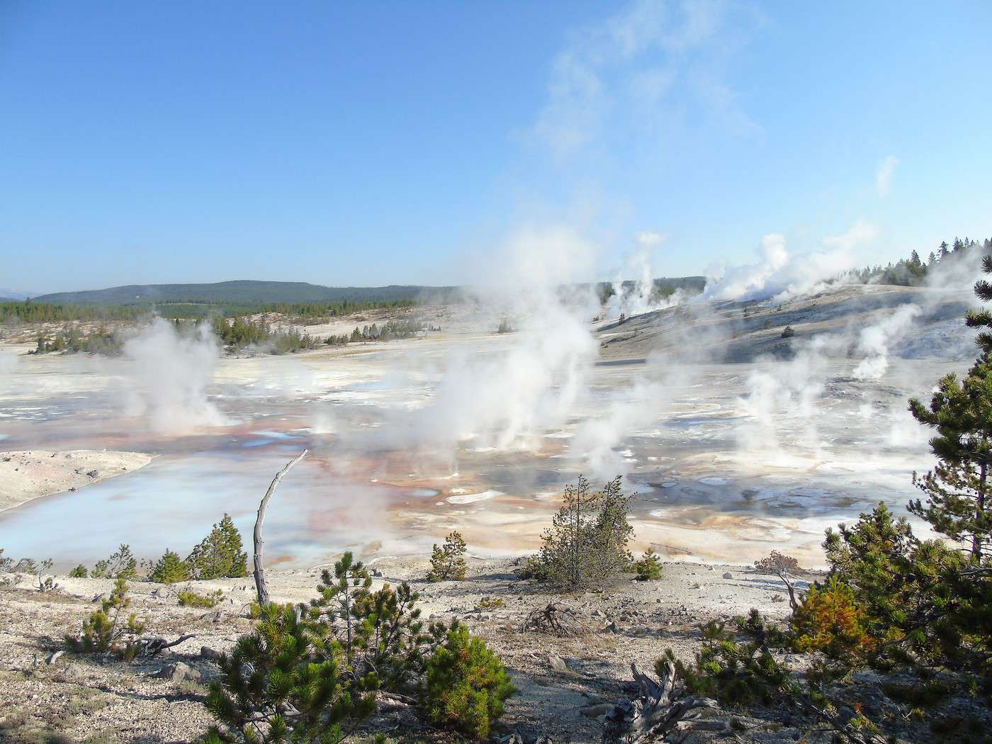
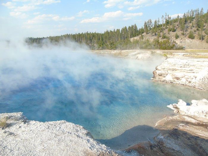 The star of the place is Grand Prismatic, but there’s quite a bit of steam that keeps us from fully appreciating the colors.
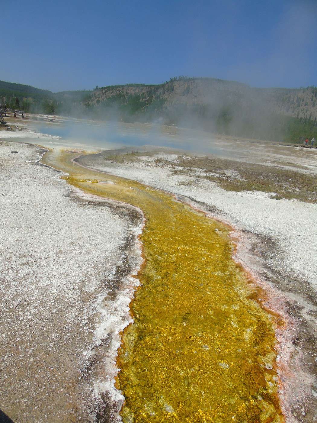
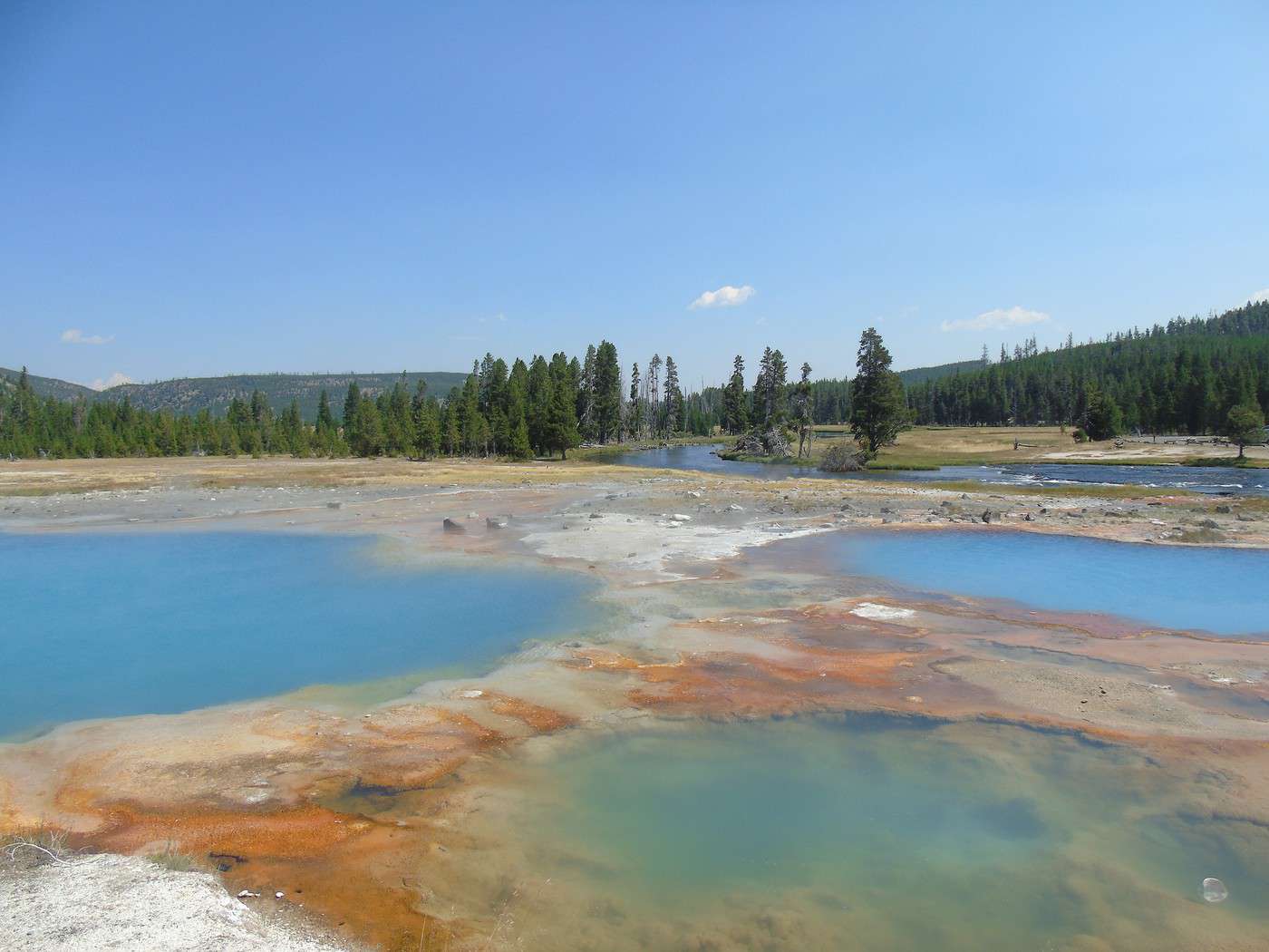
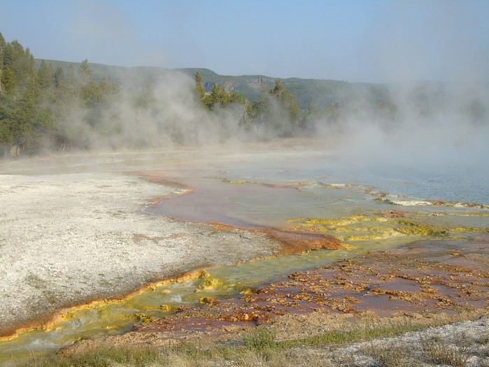
 Our last stop of the day is at Black Sand Basin.
 After a full day, we decide to grab dinner at Old Faithful Basin Store. The burgers and fries are average quality but not too expensive for the area.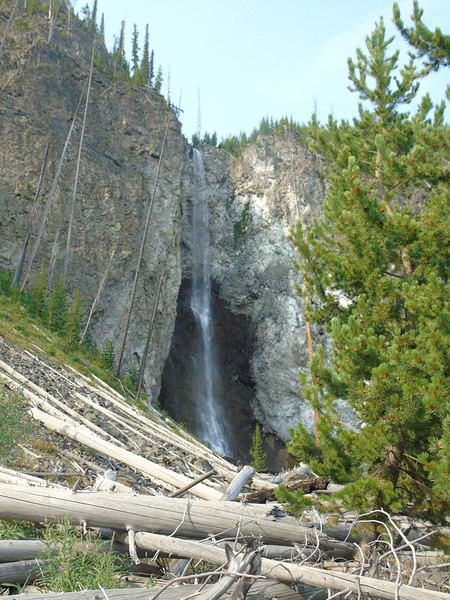
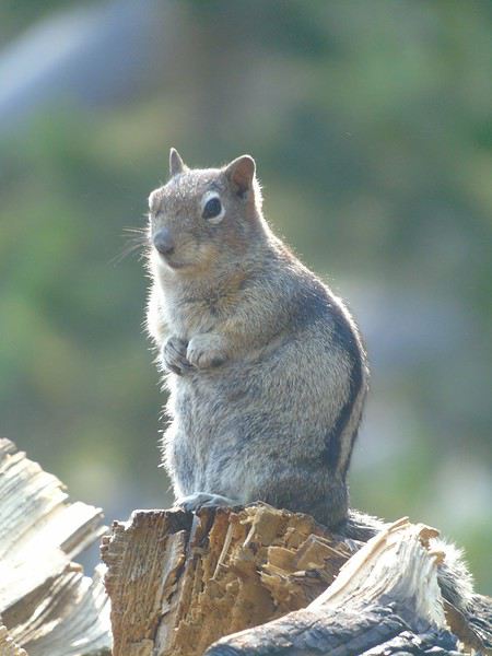
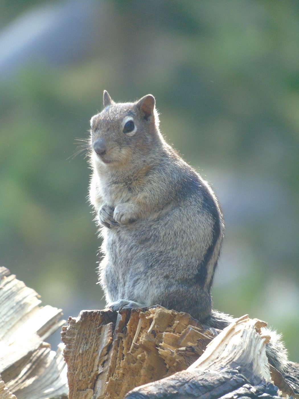
 Lots of bold chipmunks around.
 We turn back and head up to the platform to admire Grand Prismatic, even though we planned to return—you never know. With this weather, the colors are really dull.
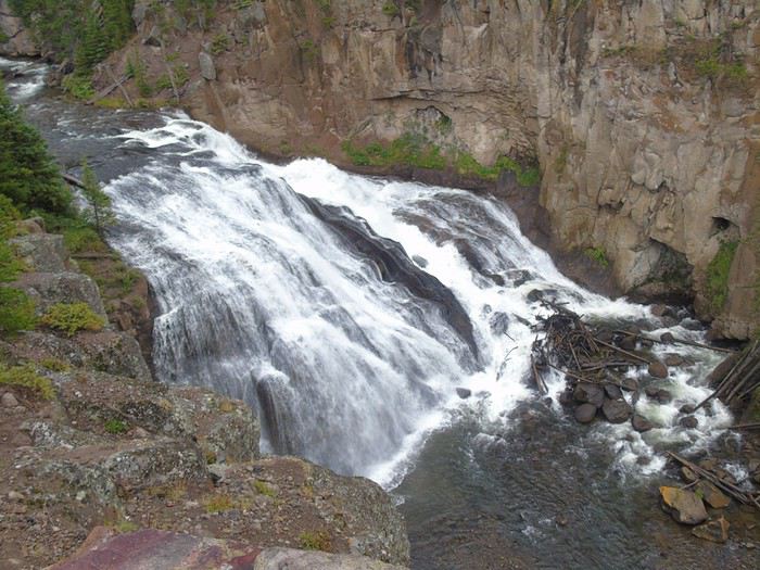
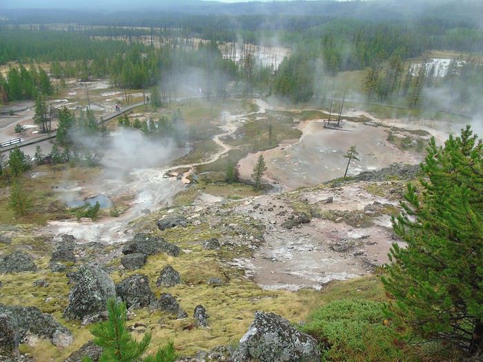
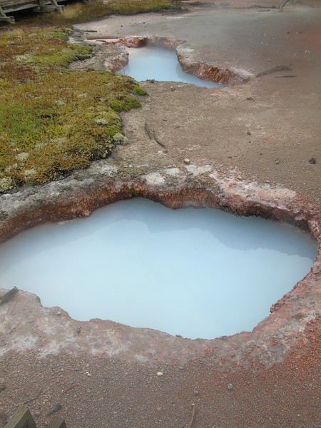
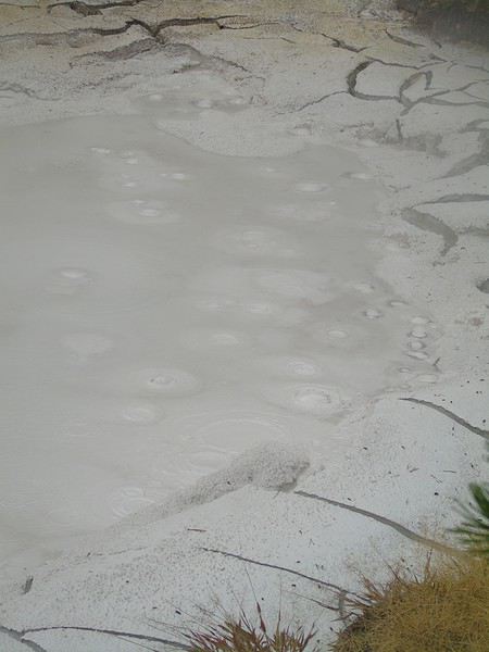
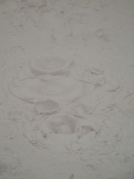
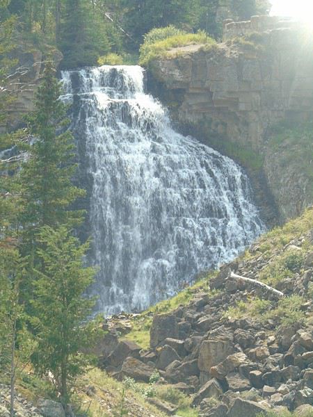
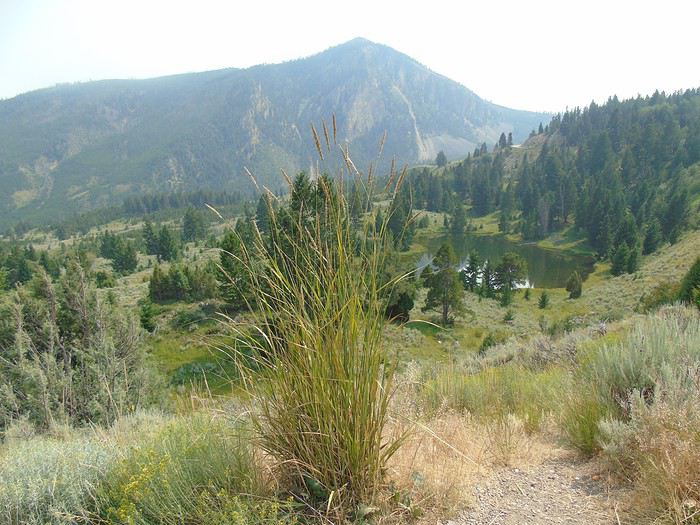
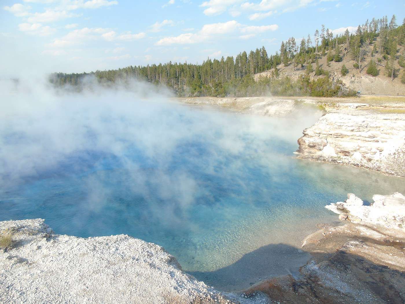
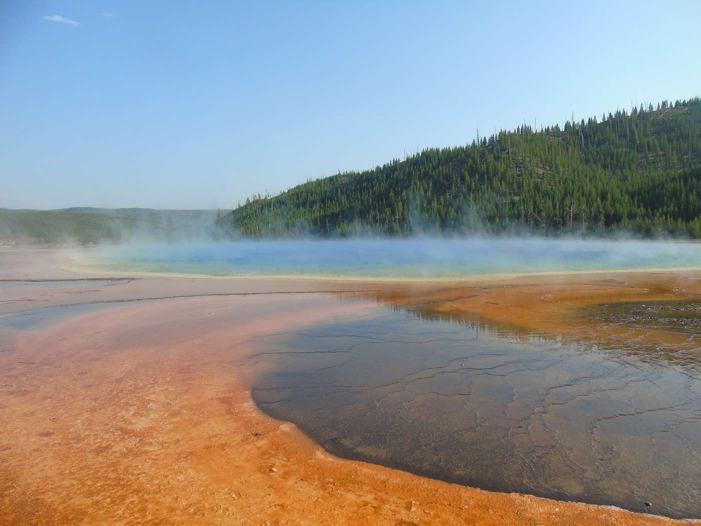
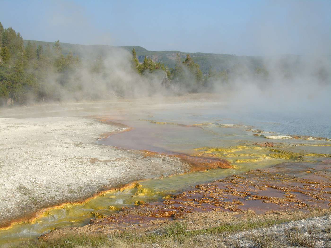
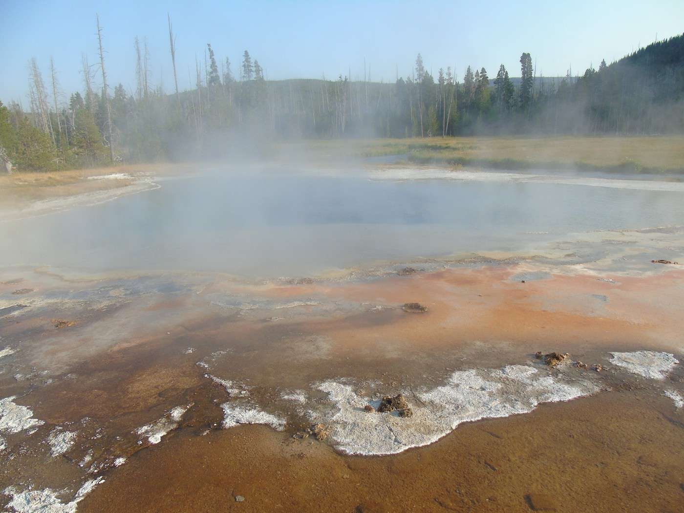
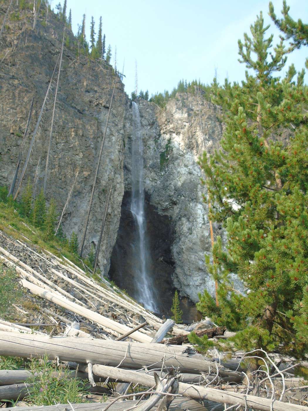
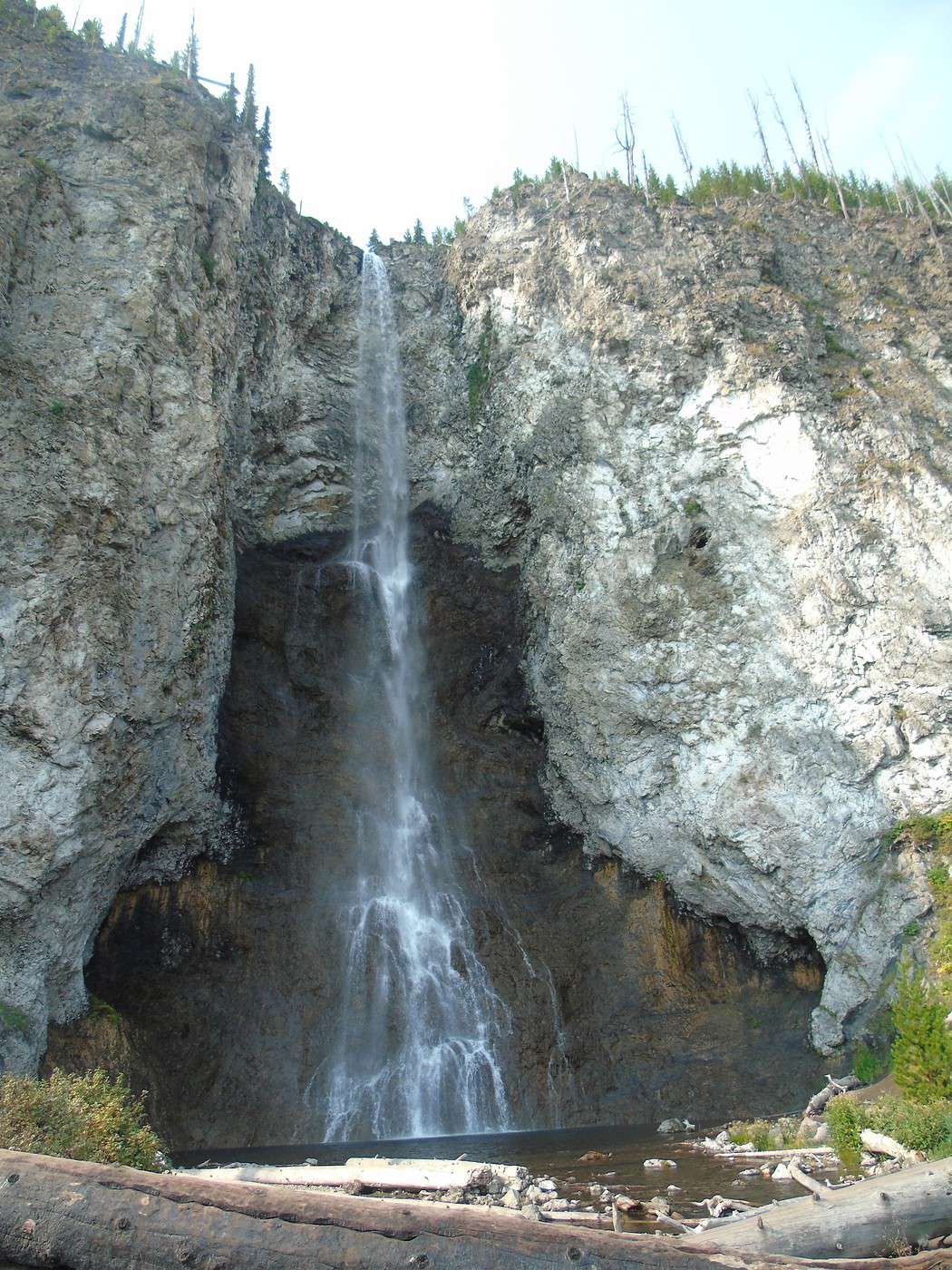
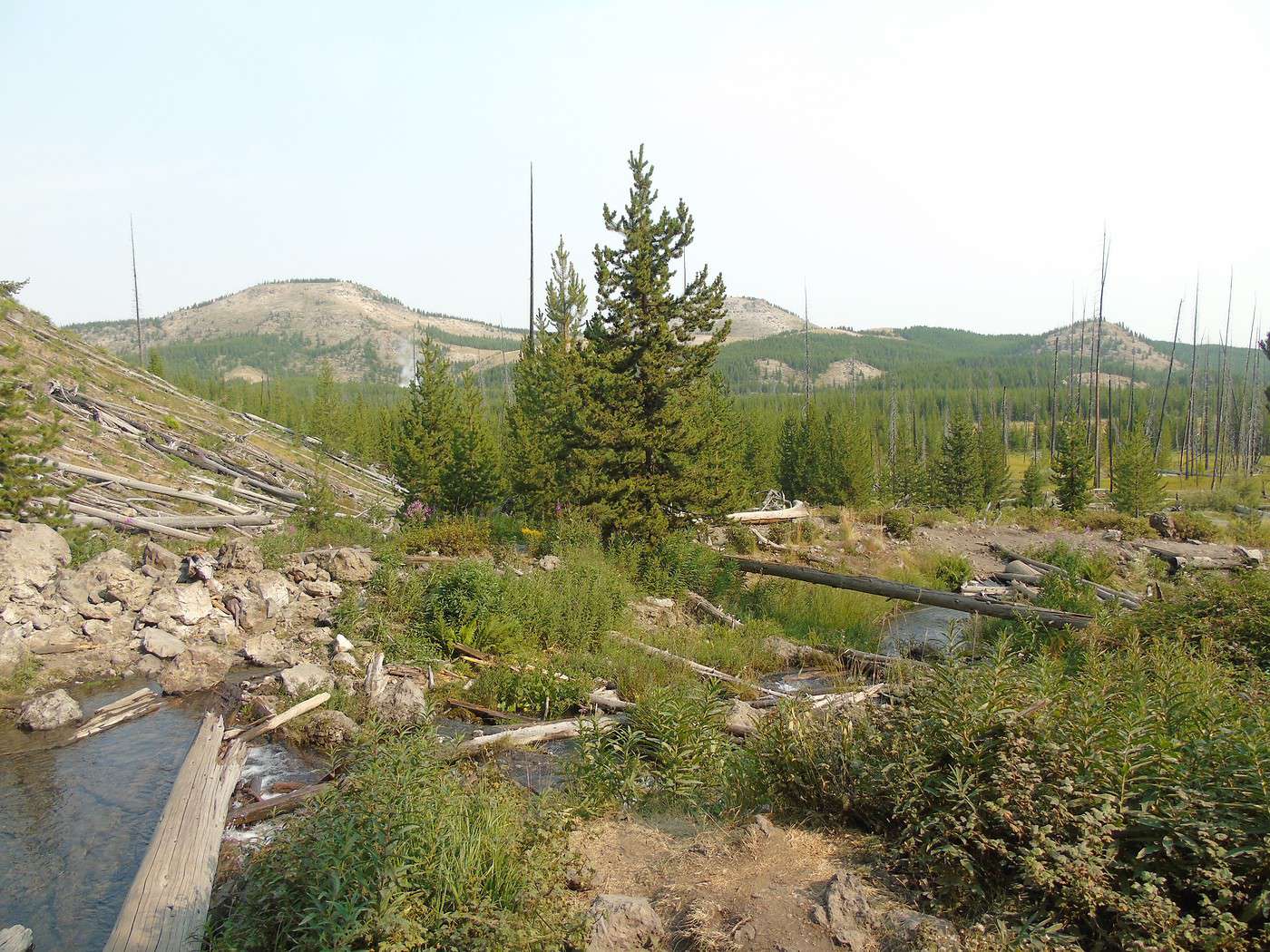
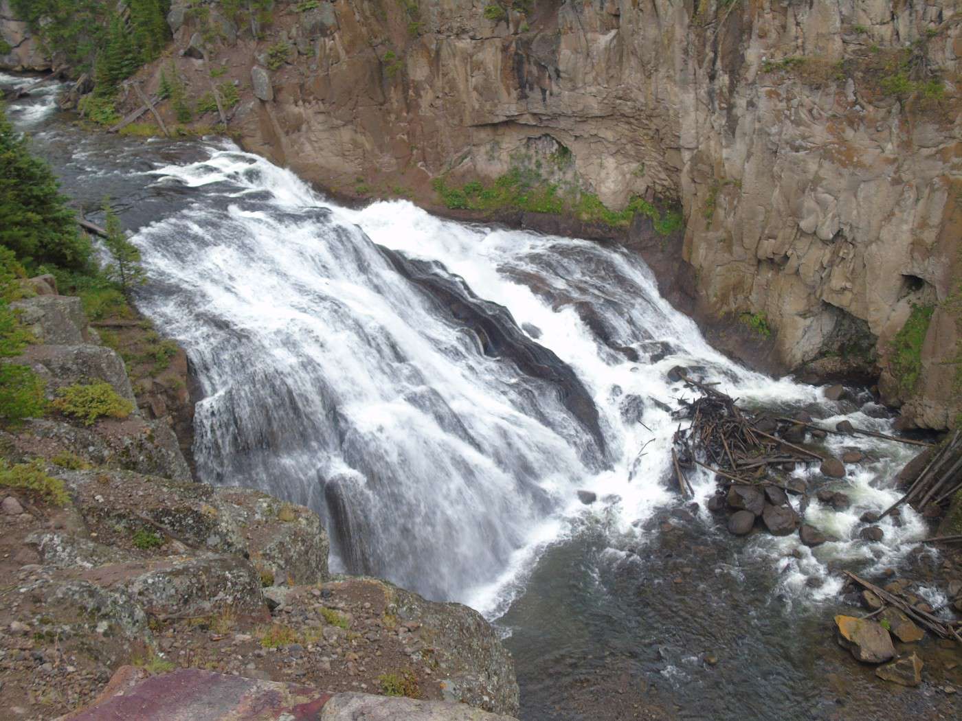
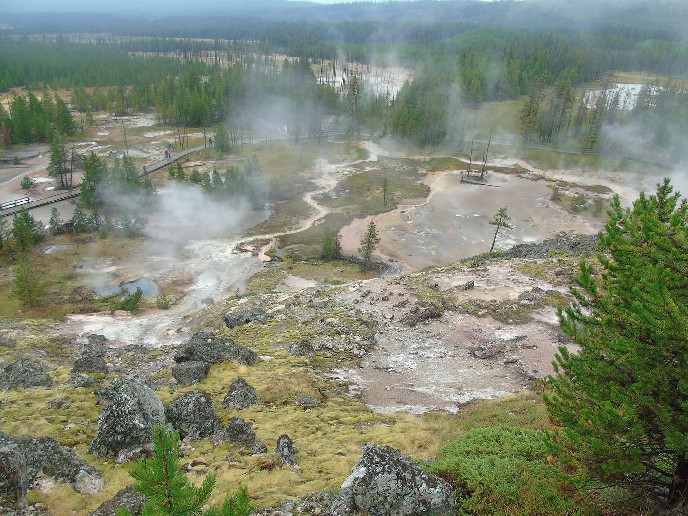
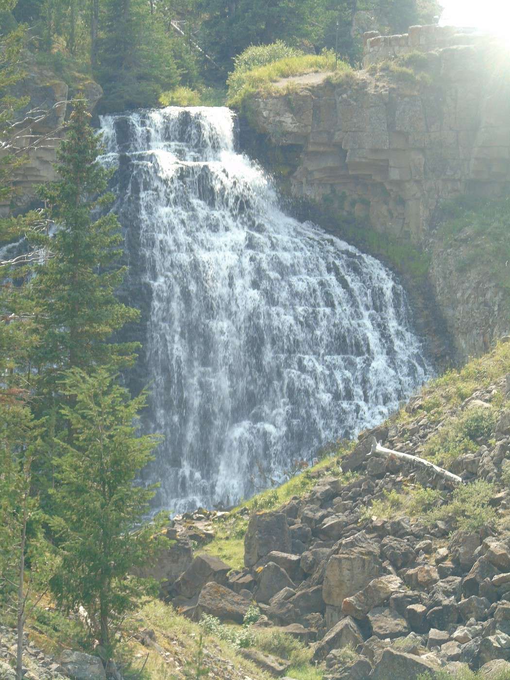
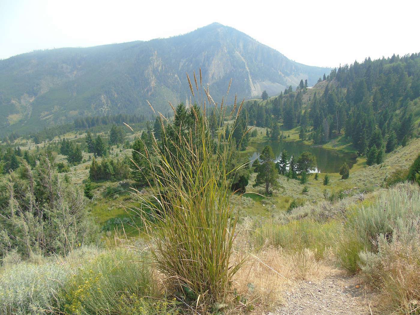
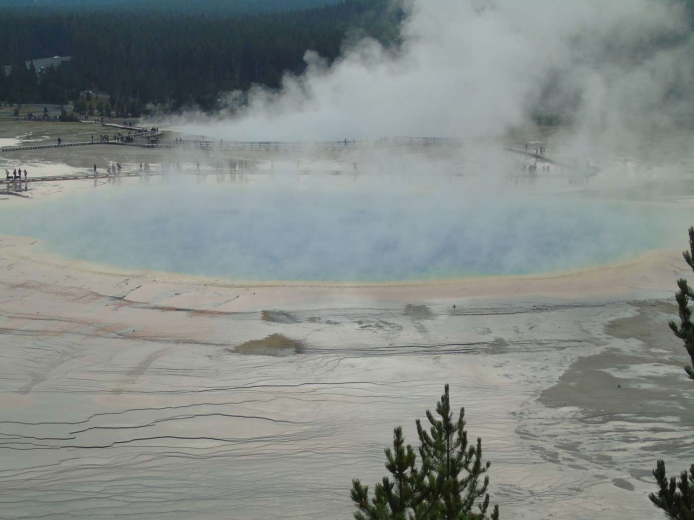
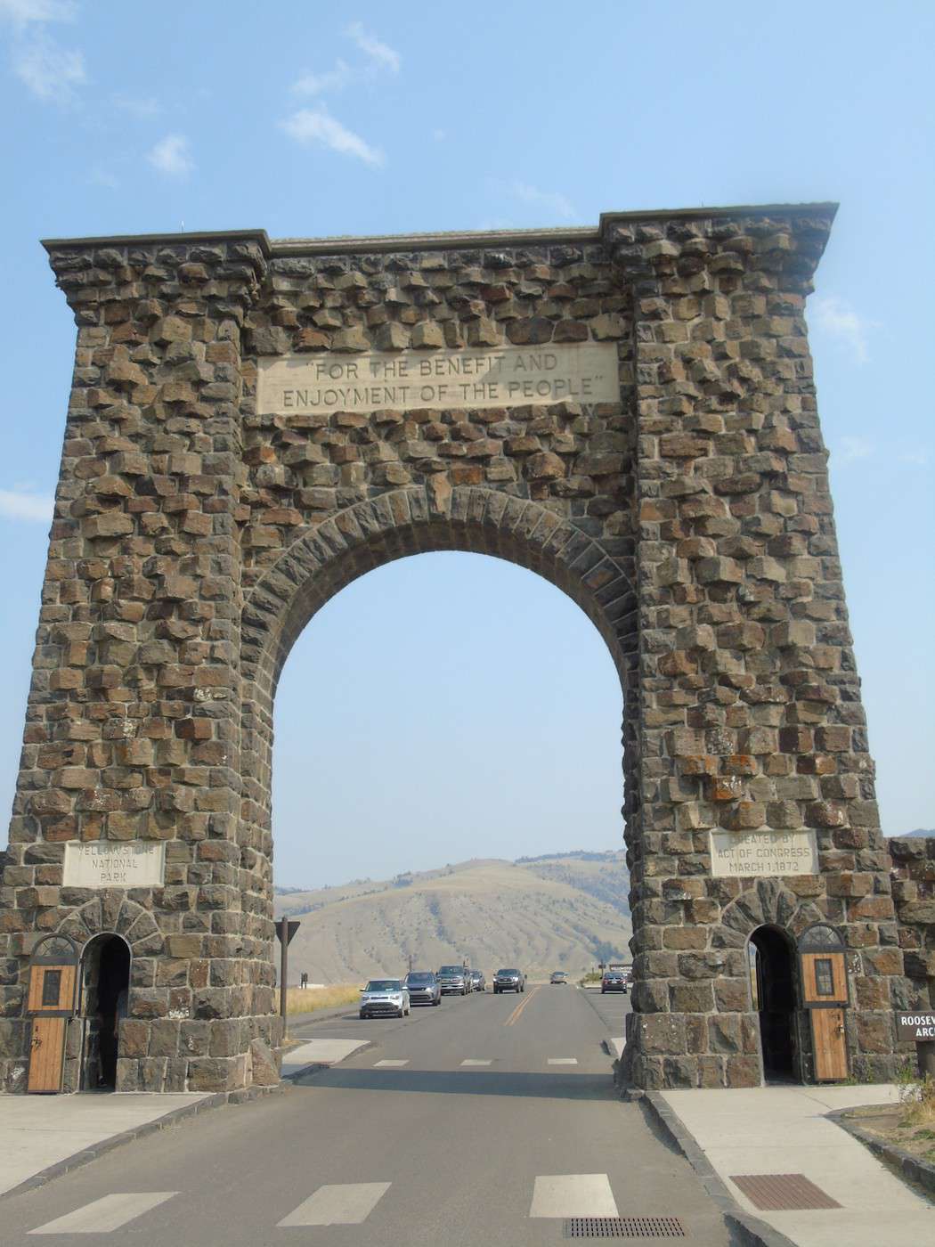
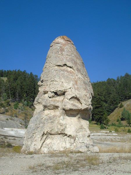
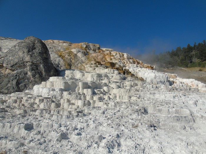
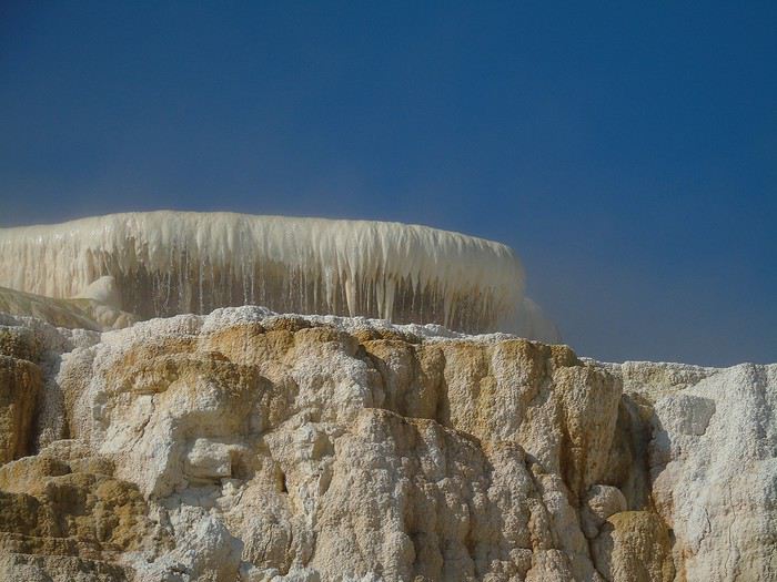

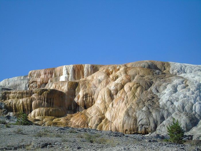

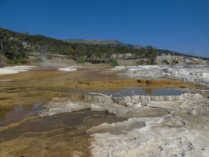
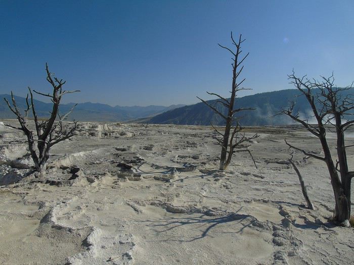
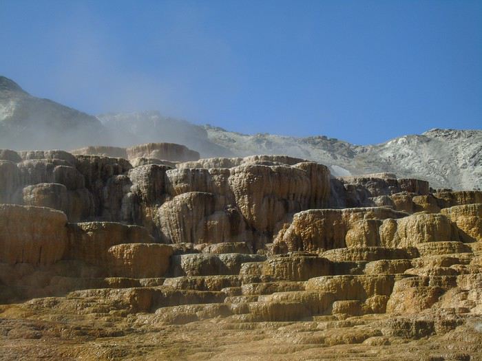
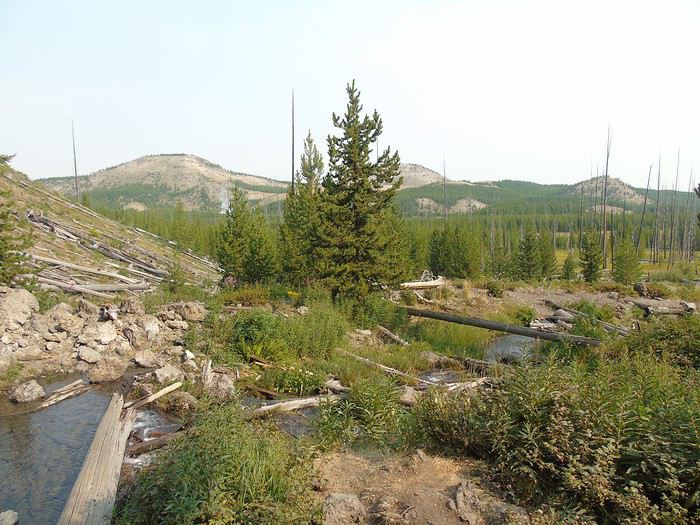
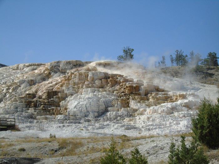 Hard to believe some people are disappointed by this place. All the conditions are perfect: glorious sunshine, flowing water, and hardly anyone around at this early hour.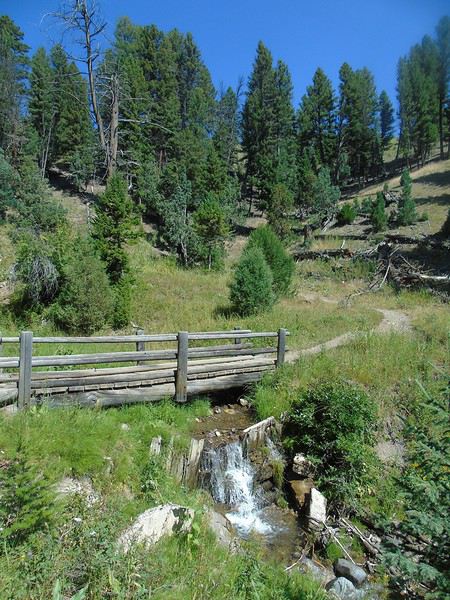
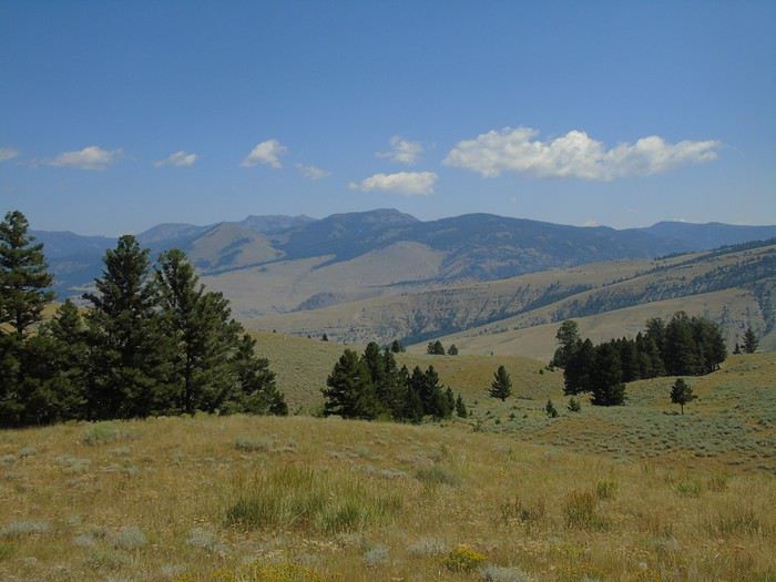
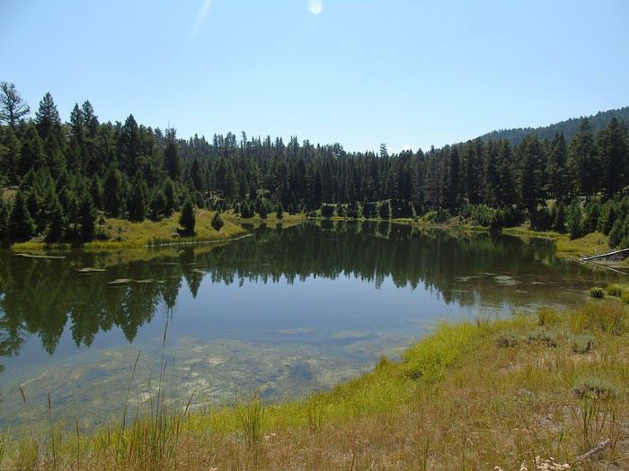


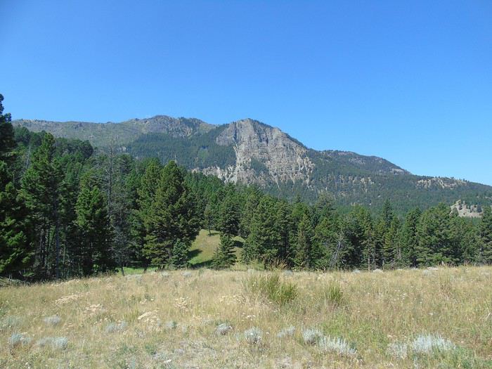
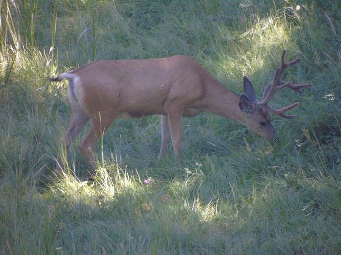 We only cross paths with one couple doing the loop in the opposite direction. A peaceful picnic by the lake, just the four of us. Pure bliss. I highly recommend this lovely hike if you have the time.
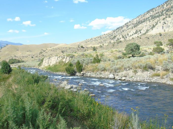 We find a spot and soak for a good while. It’s really nice, even if the water temperature swings from freezing to boiling at times. This time, it’s the kids who dawdle and don’t want to get out!
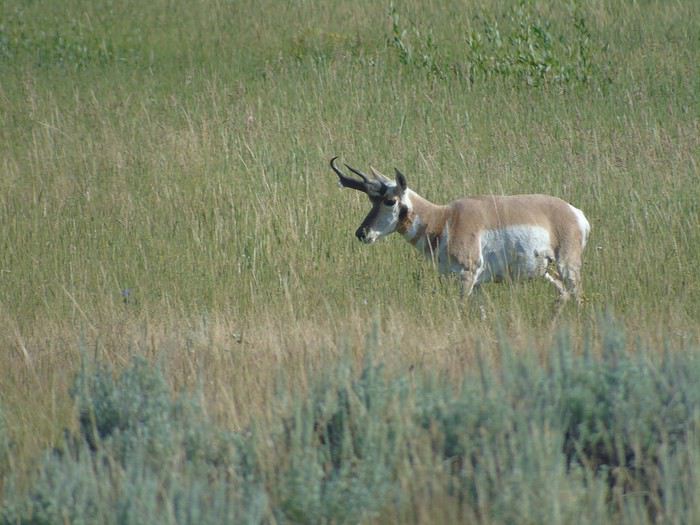
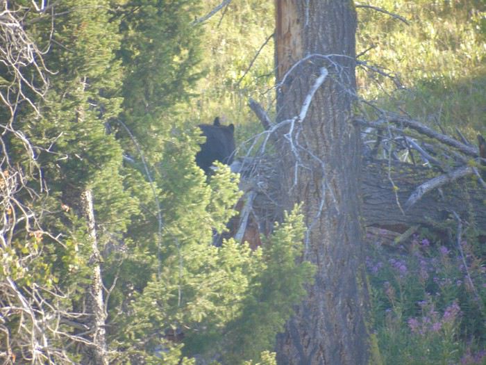
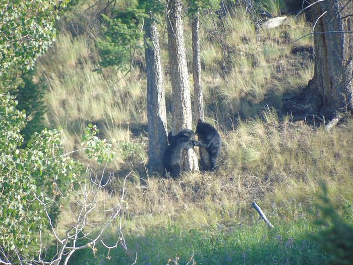 We settle into our cabin at Roosevelt Lodge for 3 nights: a 6-person cabin with no bathroom, clean, comfy beds, and a very reasonable price (145 € per night).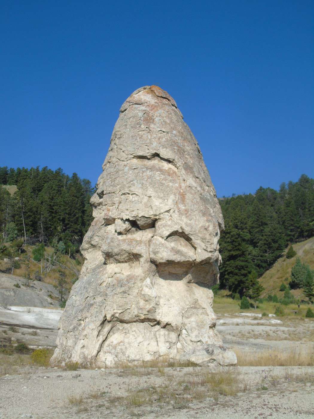
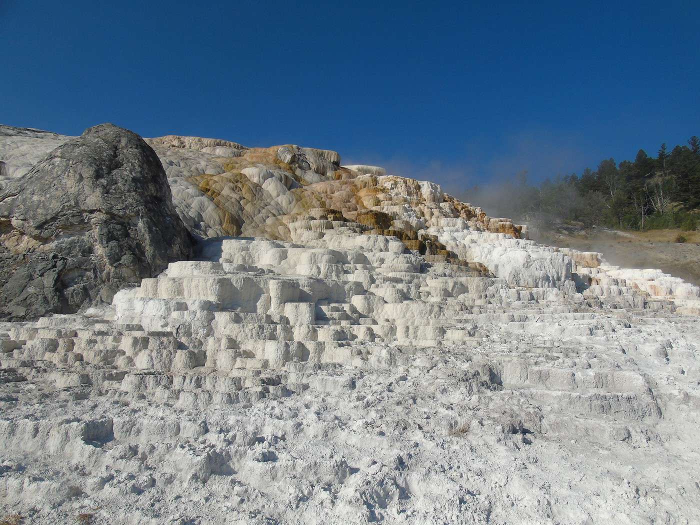
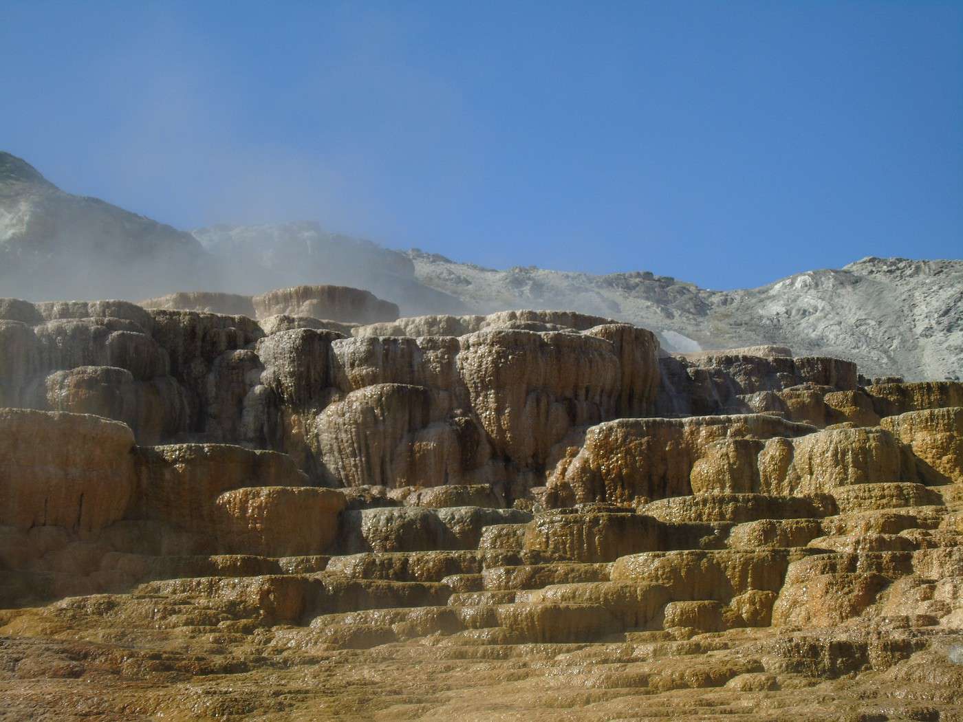
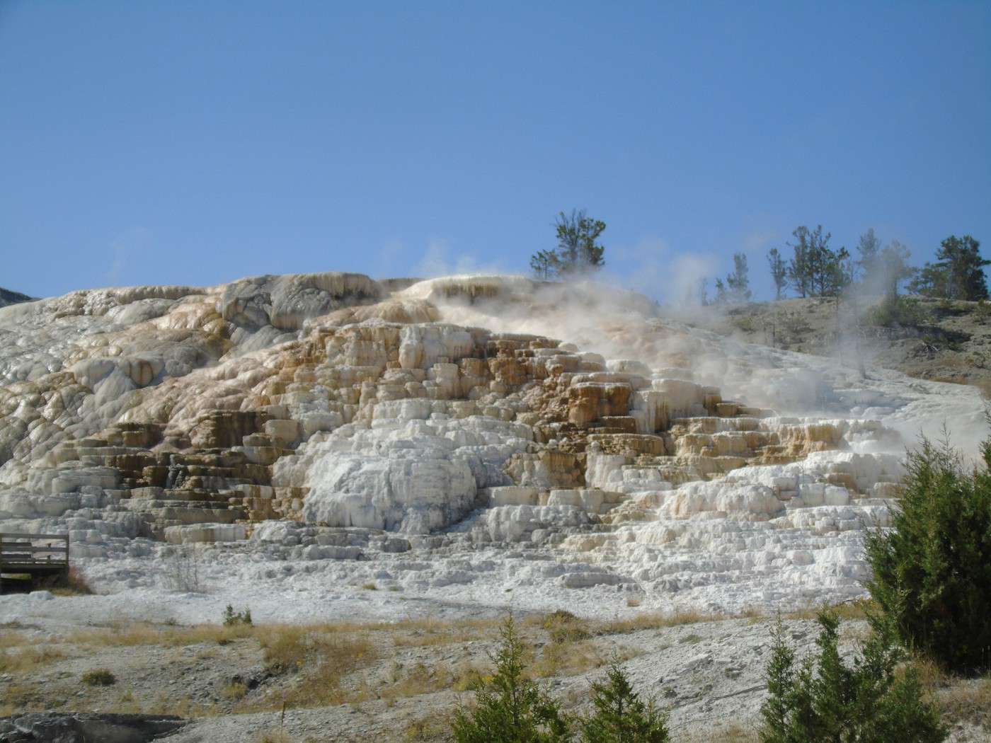
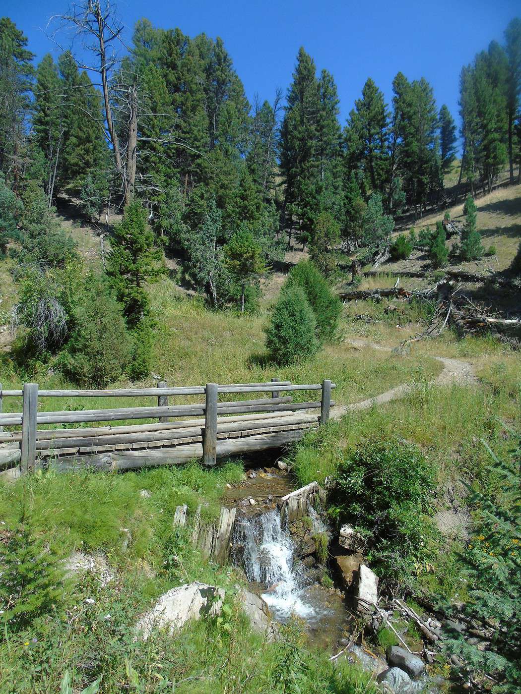
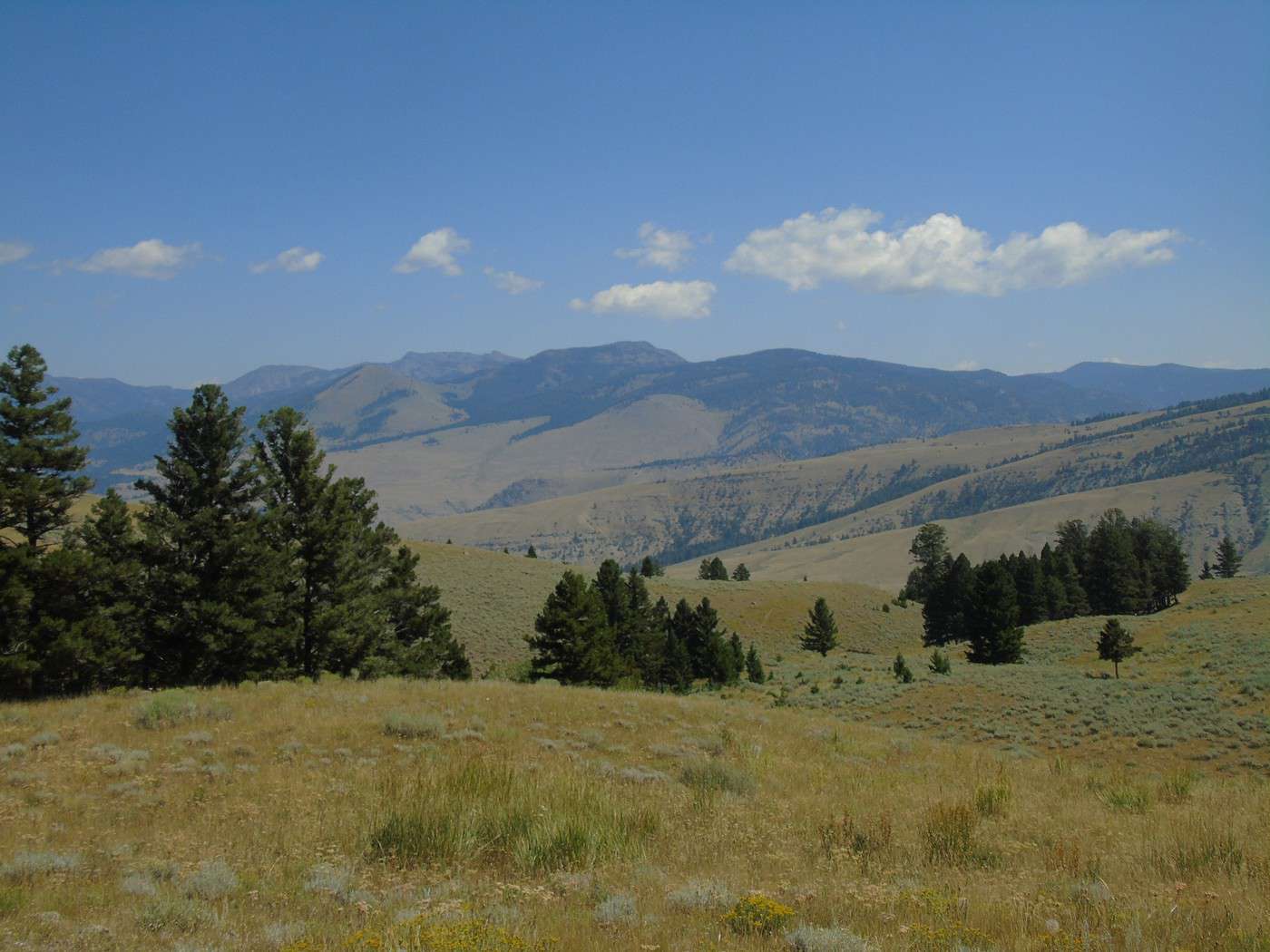
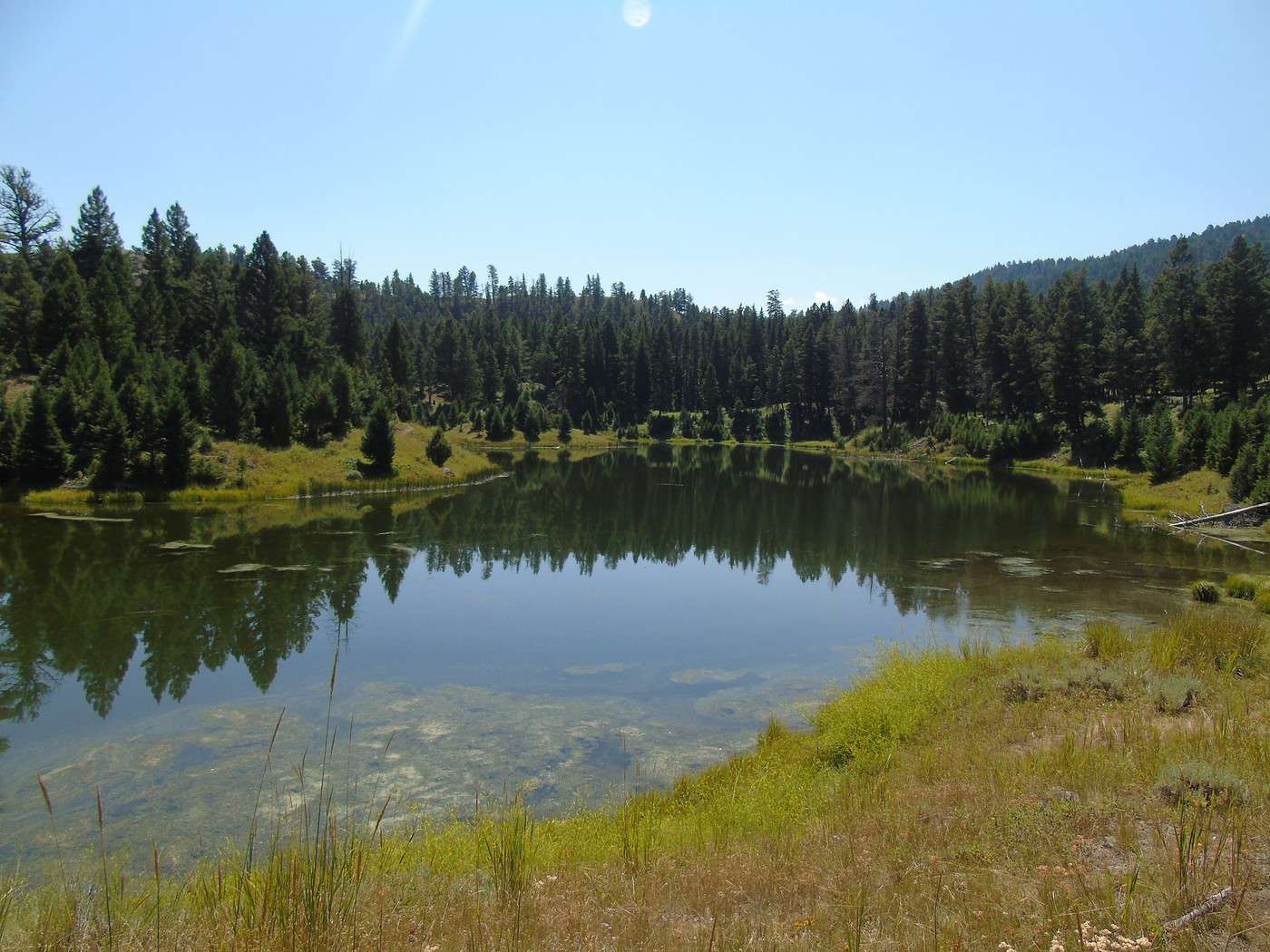
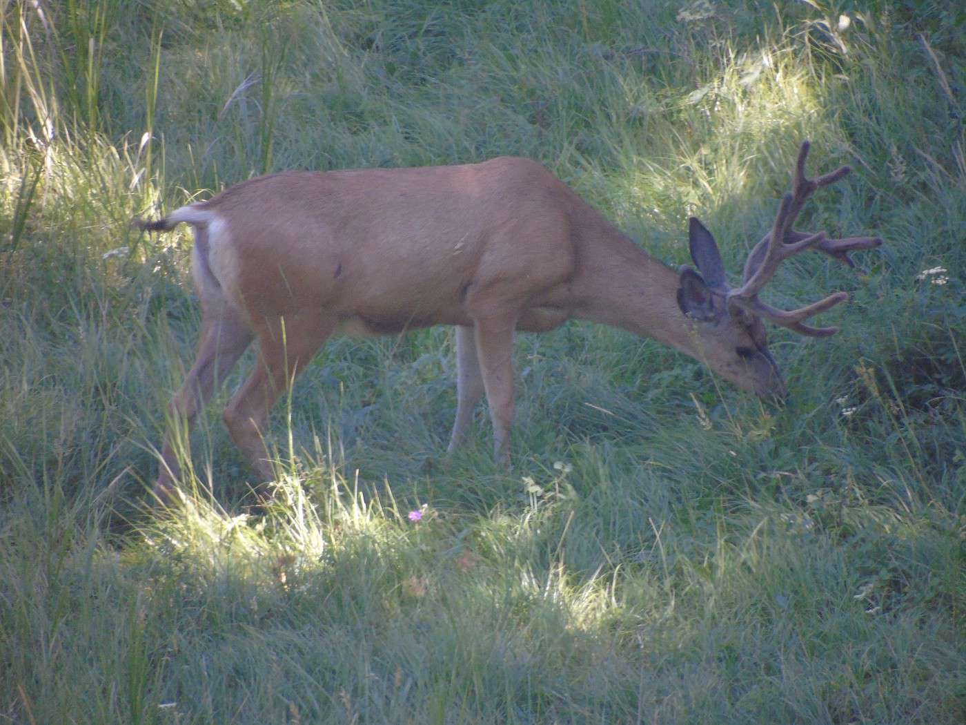
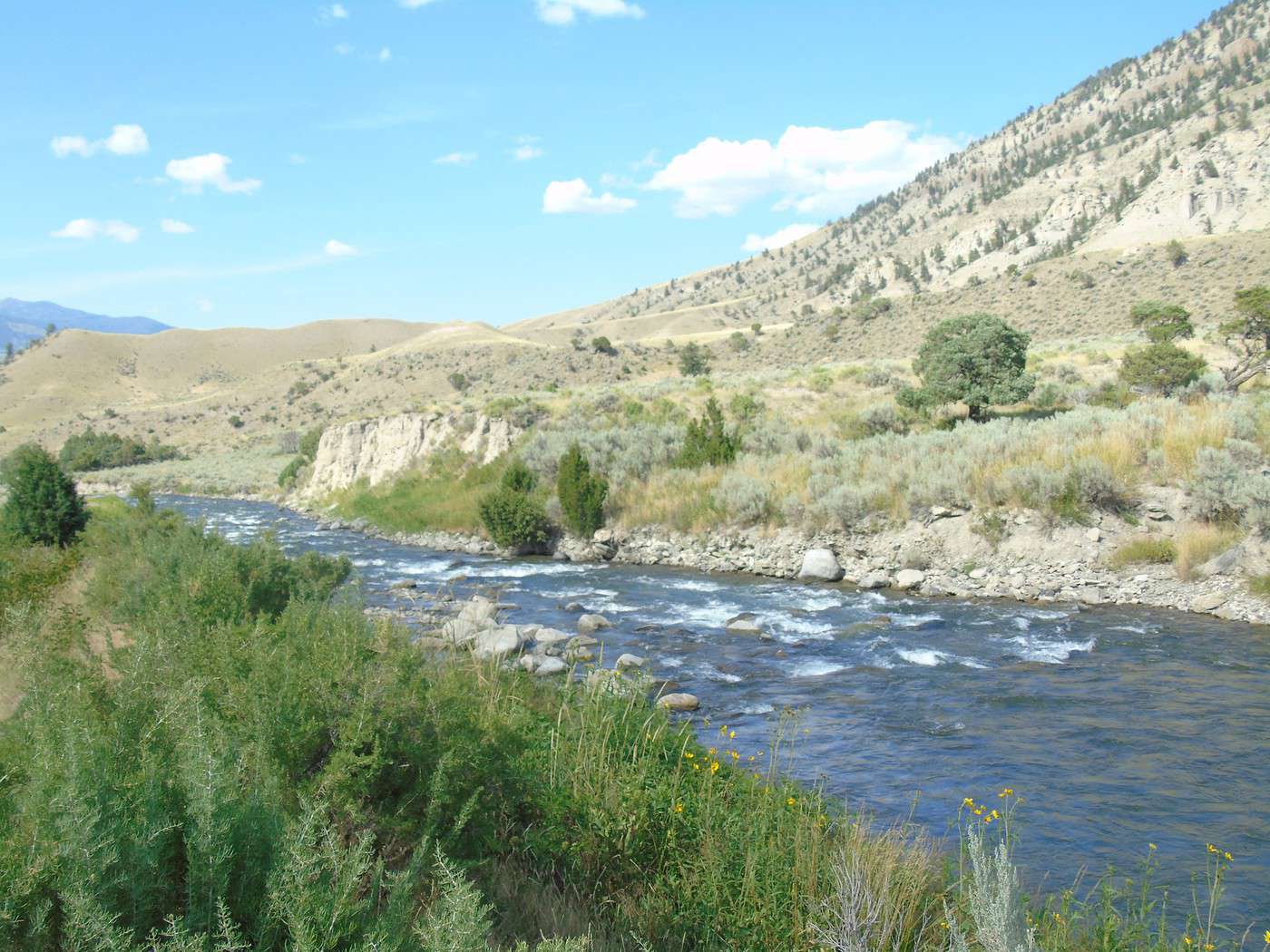
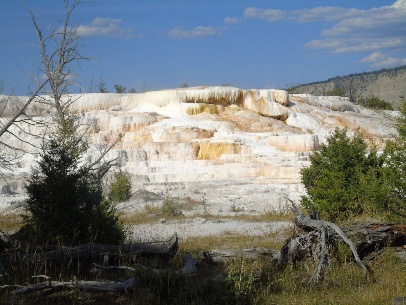
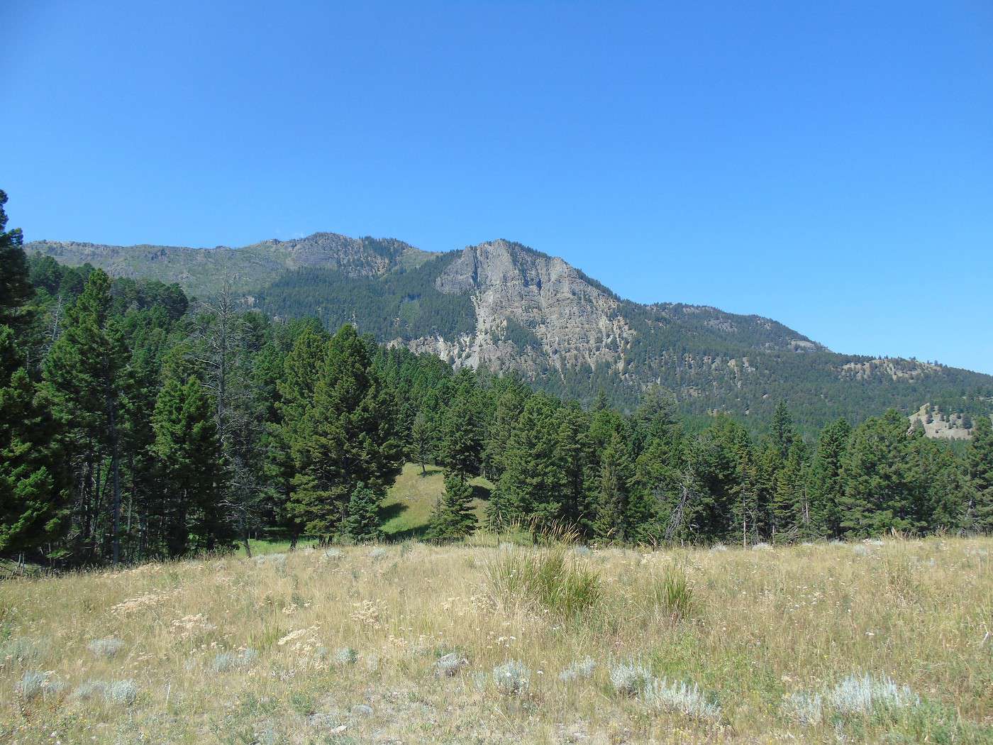
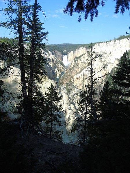
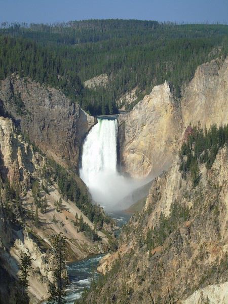 We take the walk to Point Sublime. It’s true that this viewpoint isn’t the most stunning. An easy 3.8 km round-trip hike. As usual, we take our time…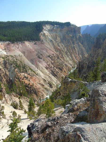
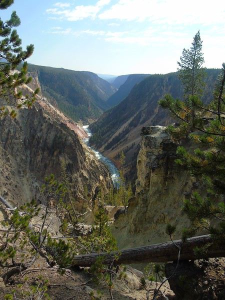
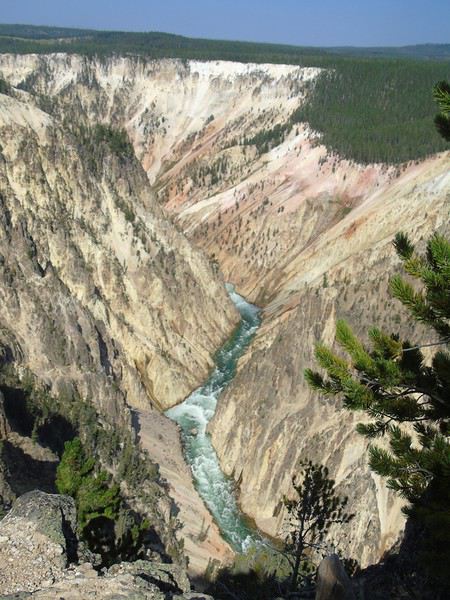
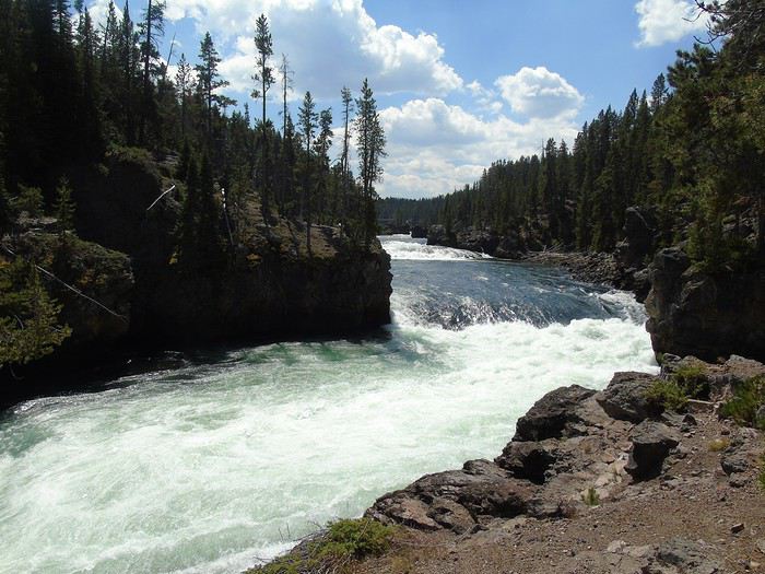
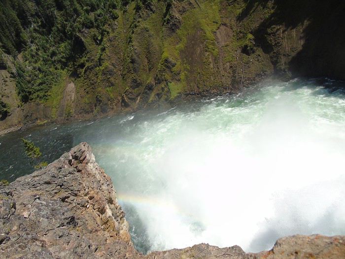
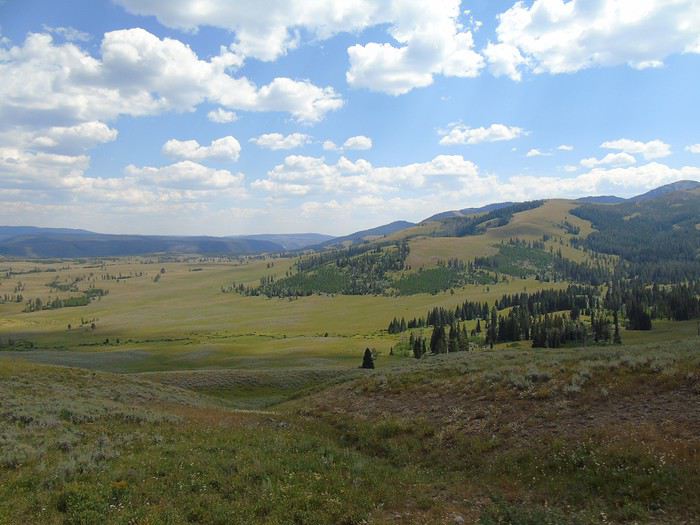
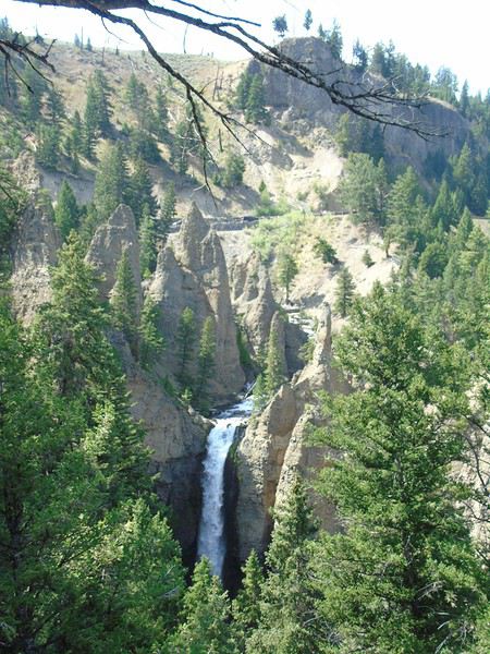
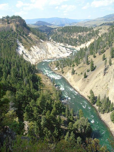
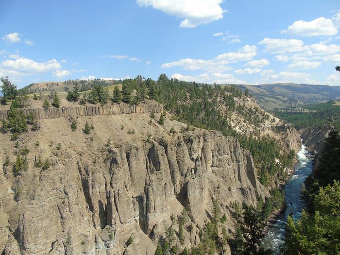
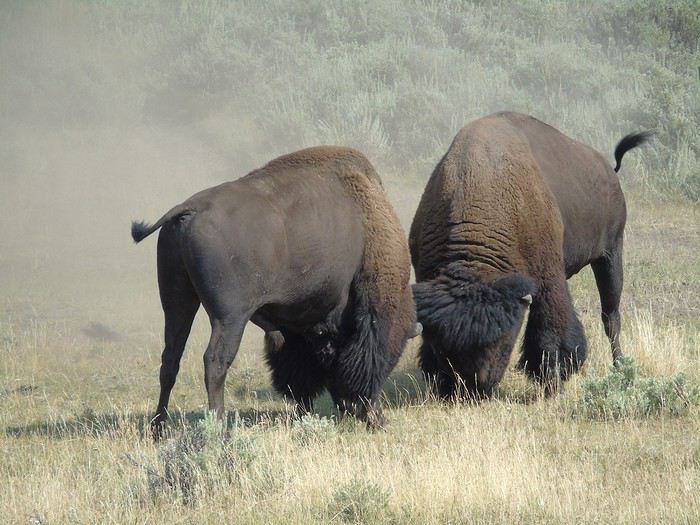
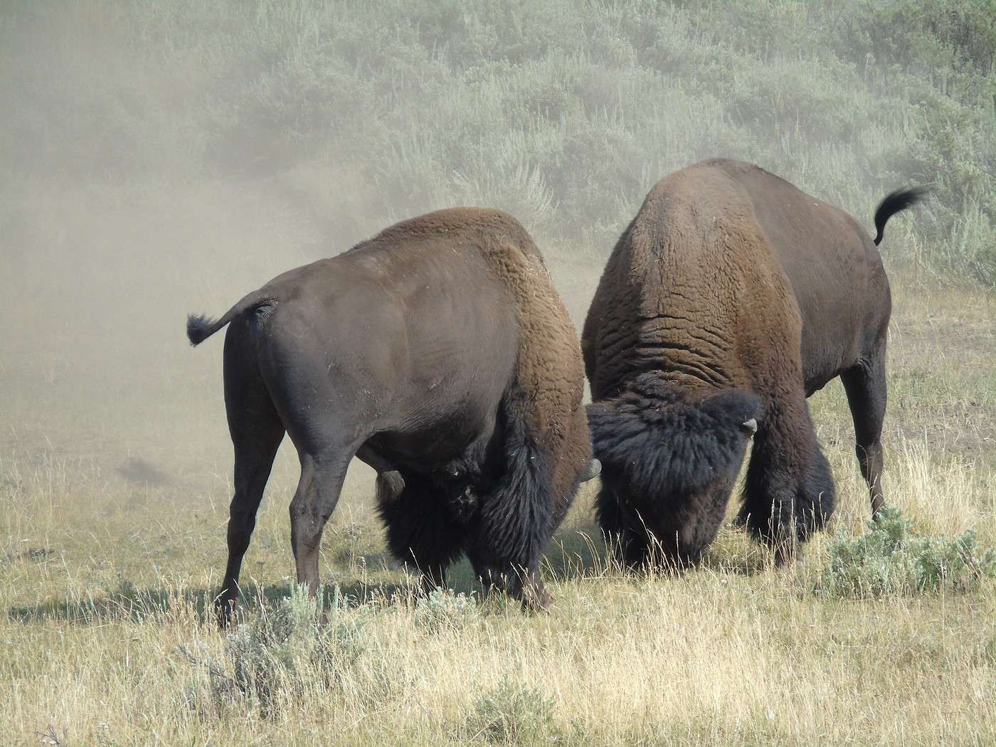
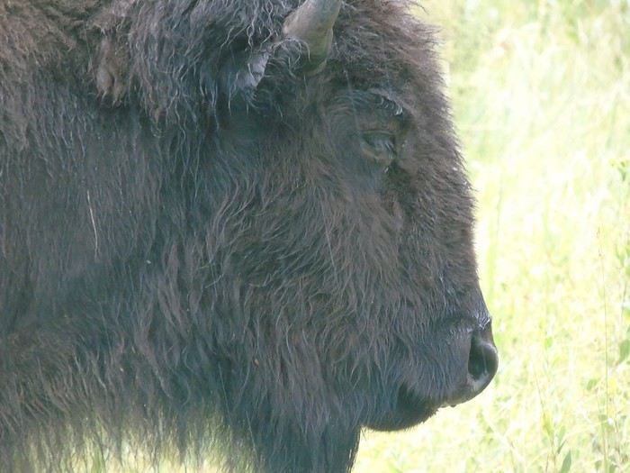
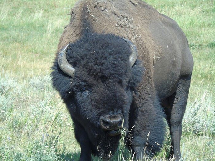
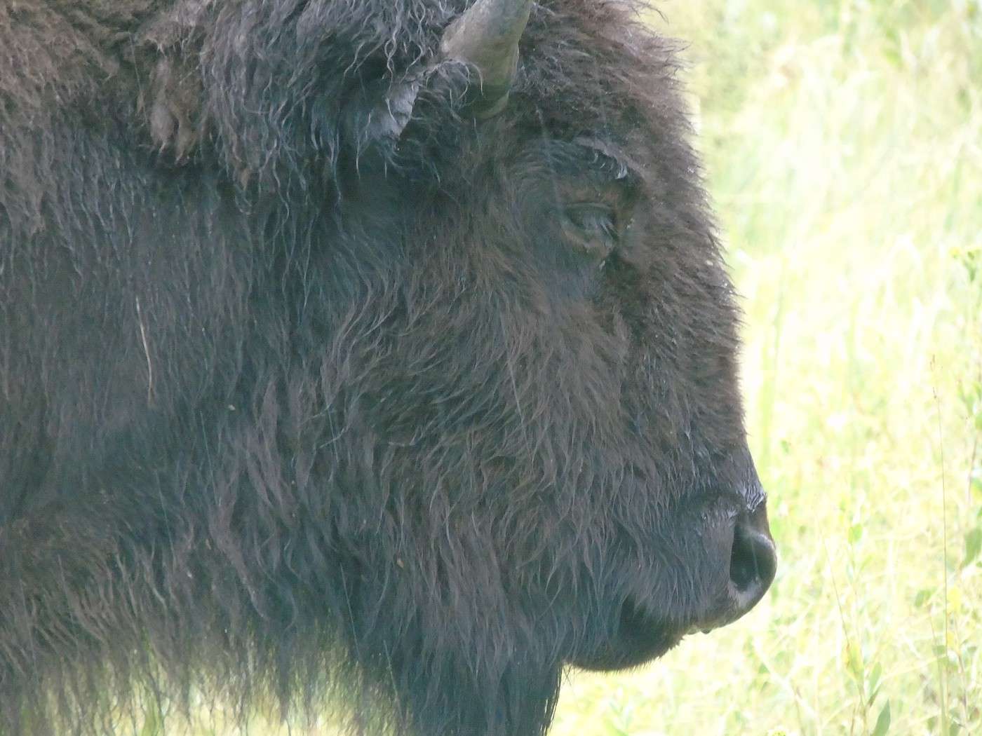
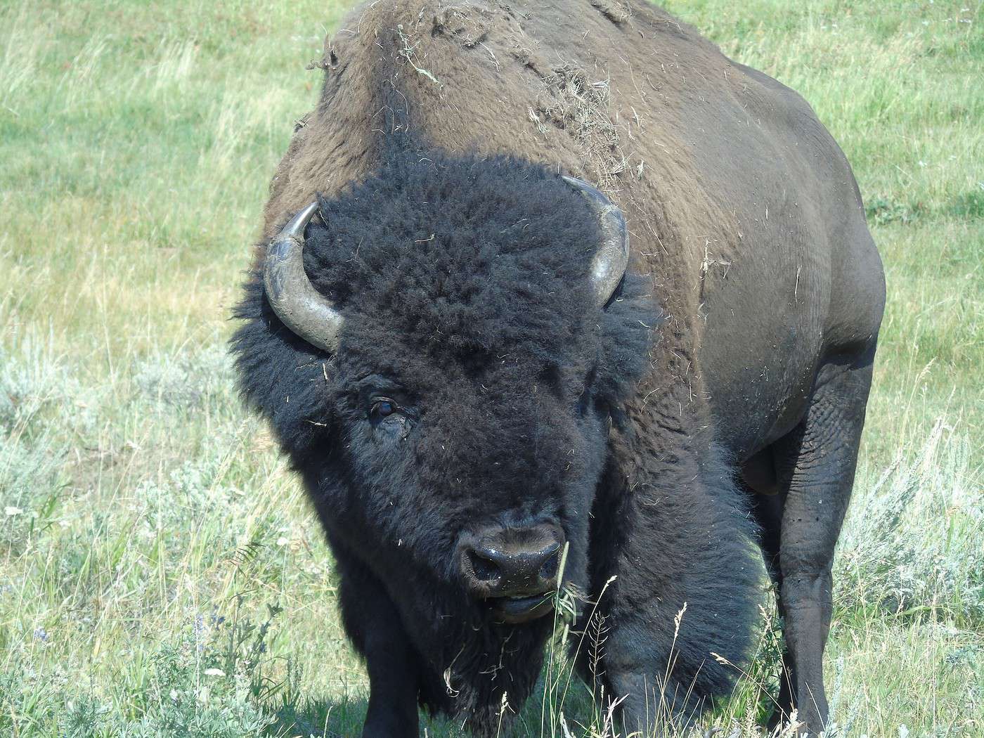
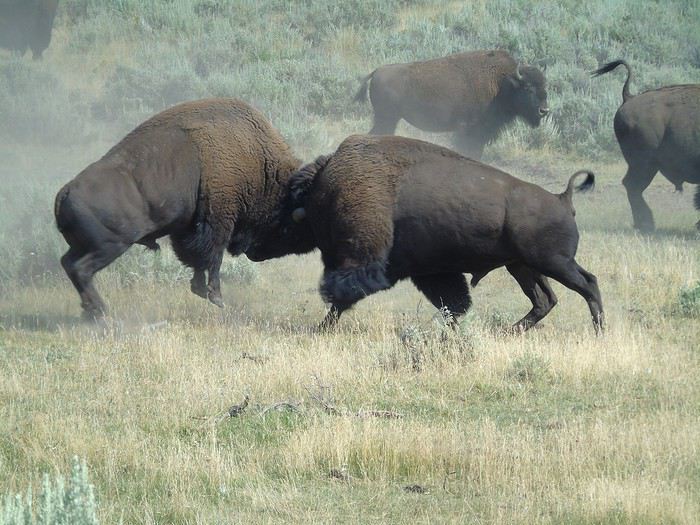 Is he going to charge us?
 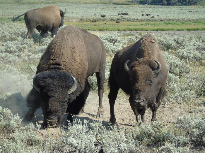 No, he’s just scratching the ground before rolling in it.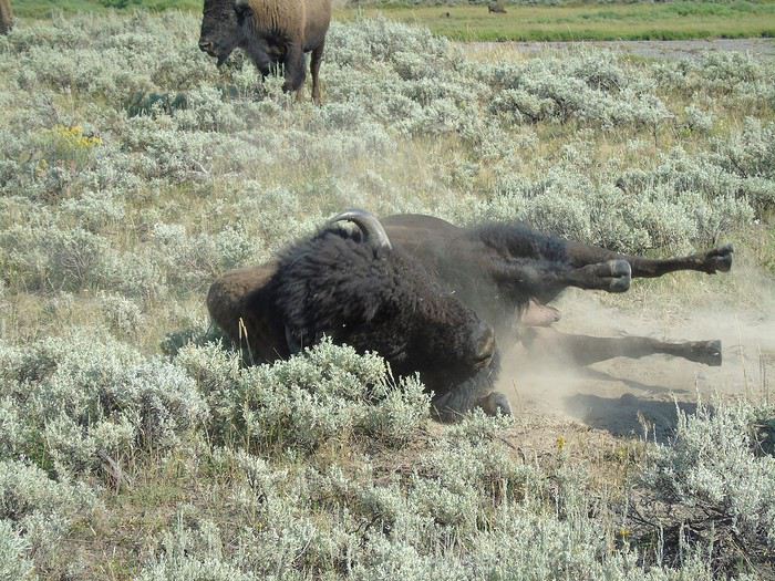
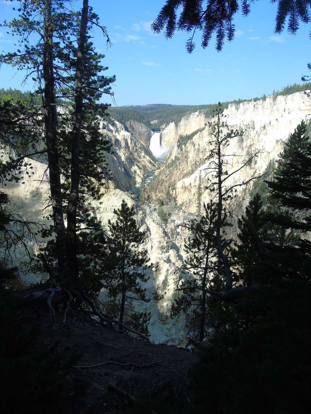
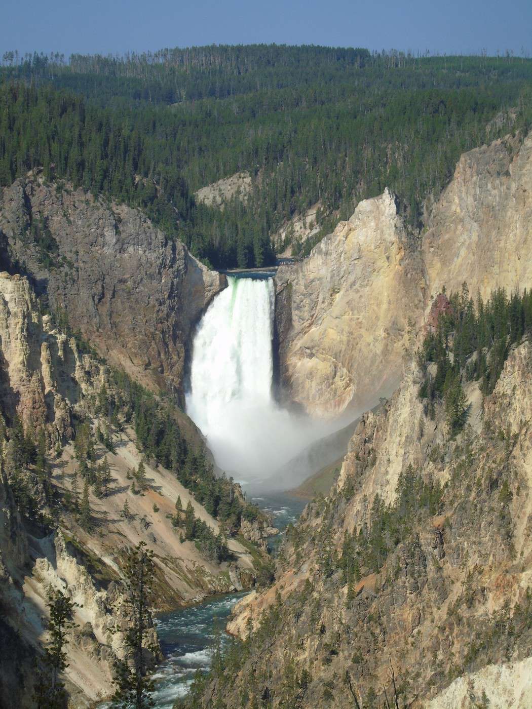
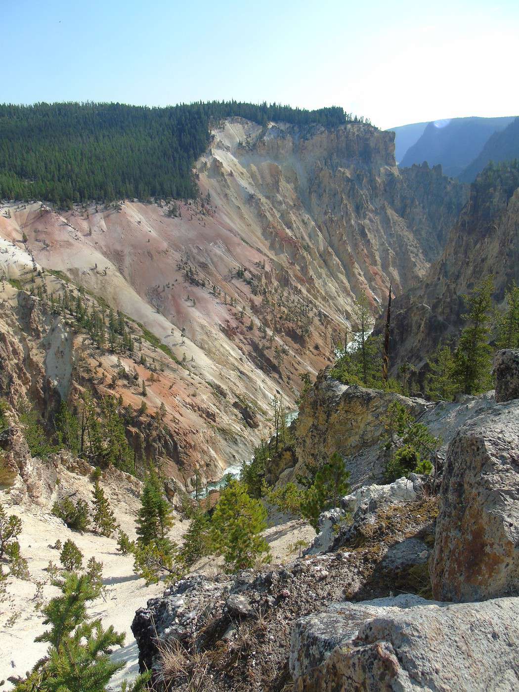
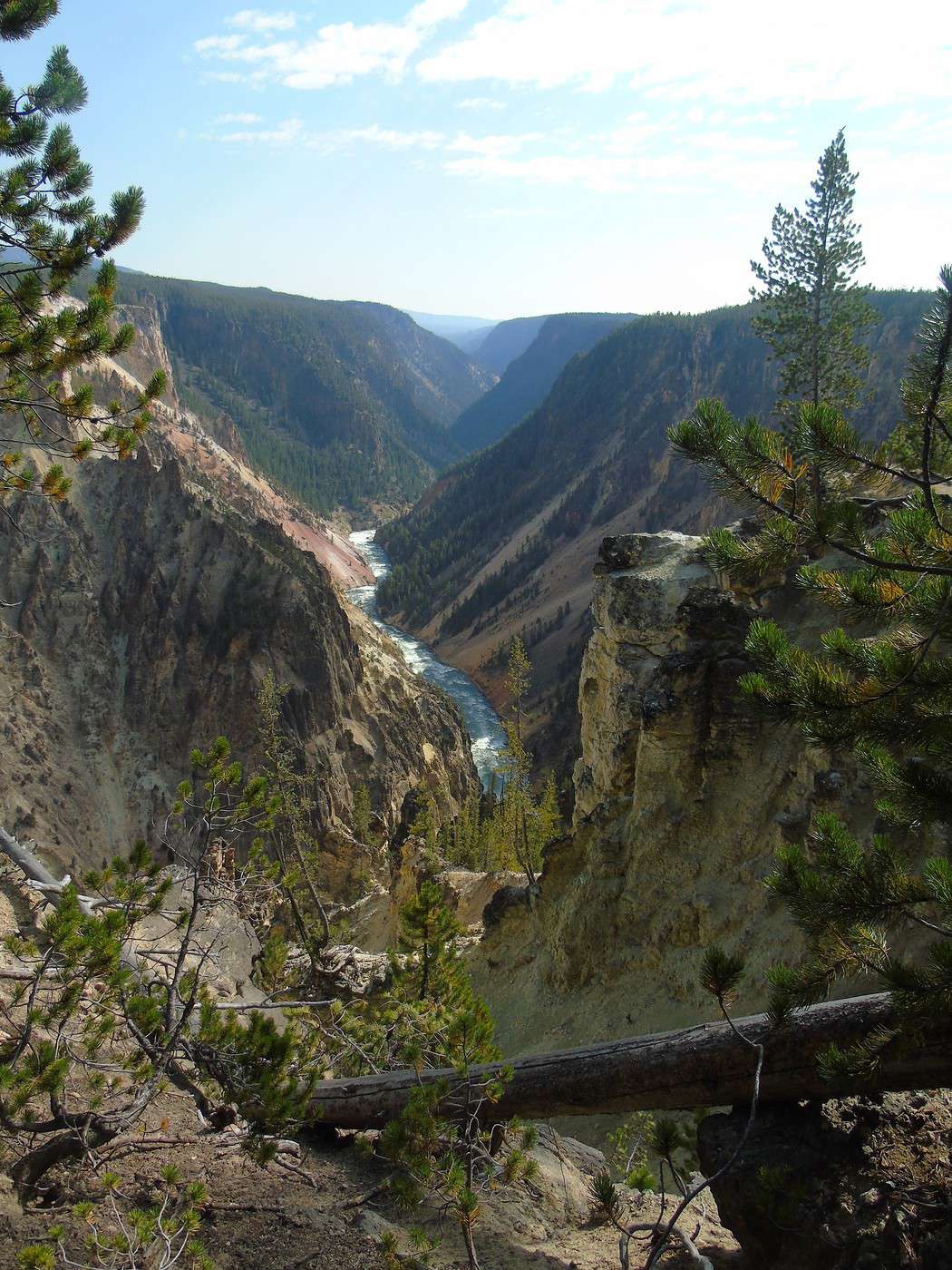
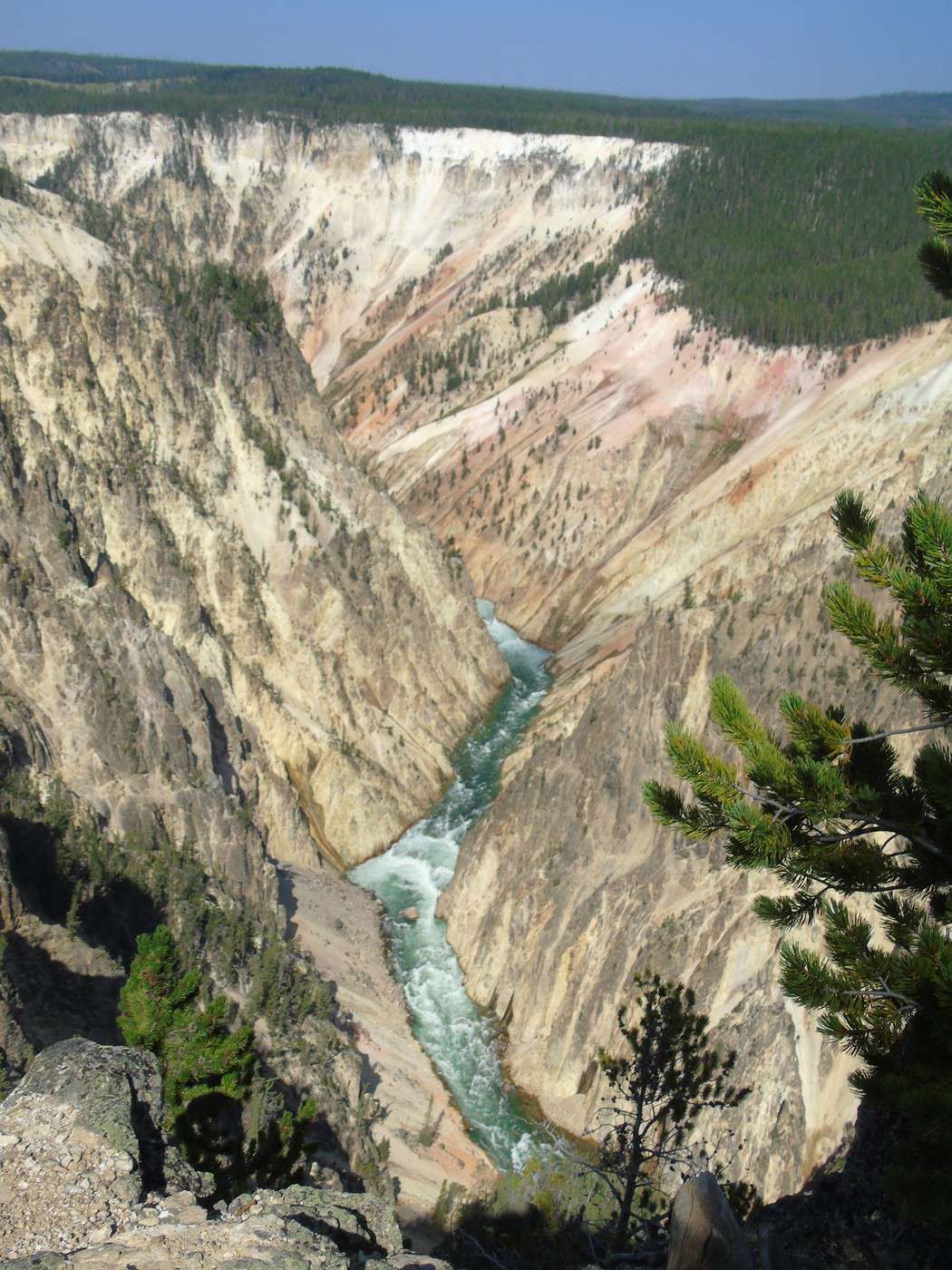
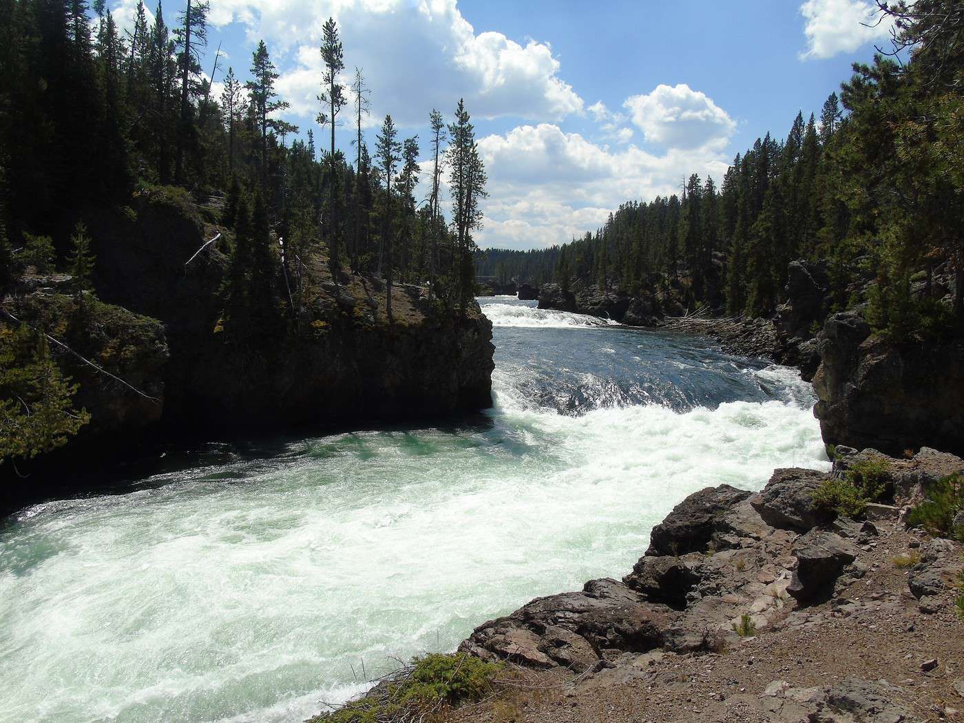
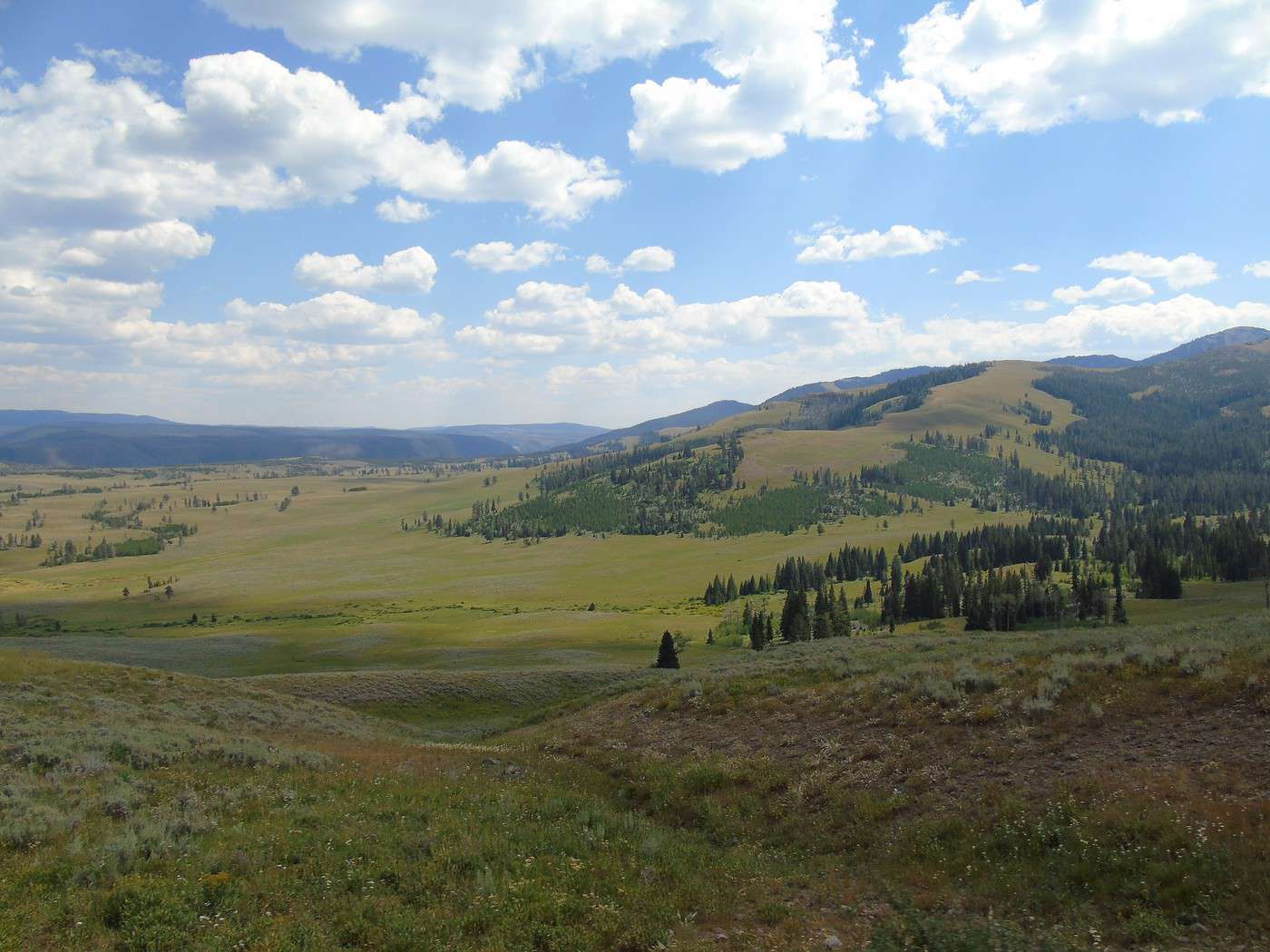
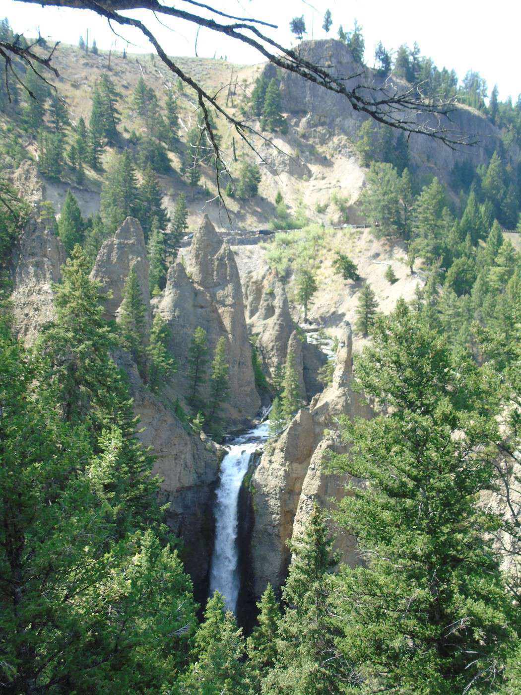
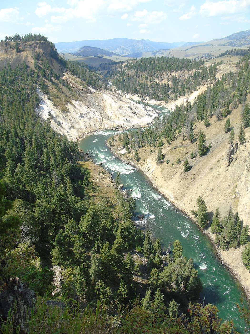
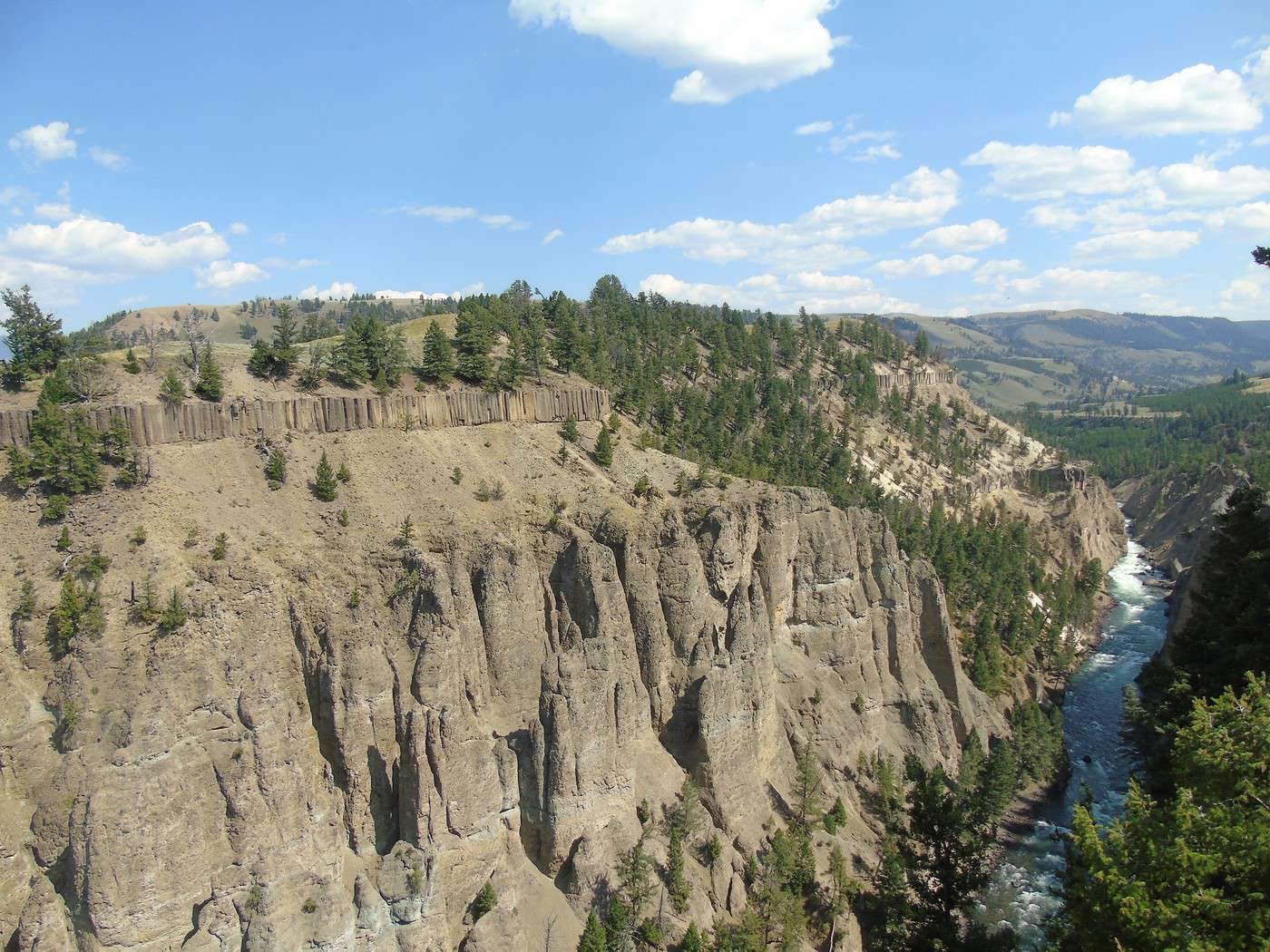
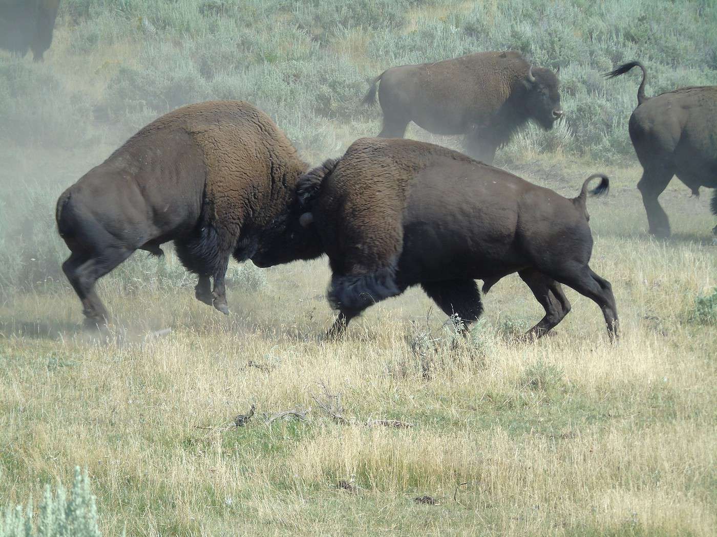
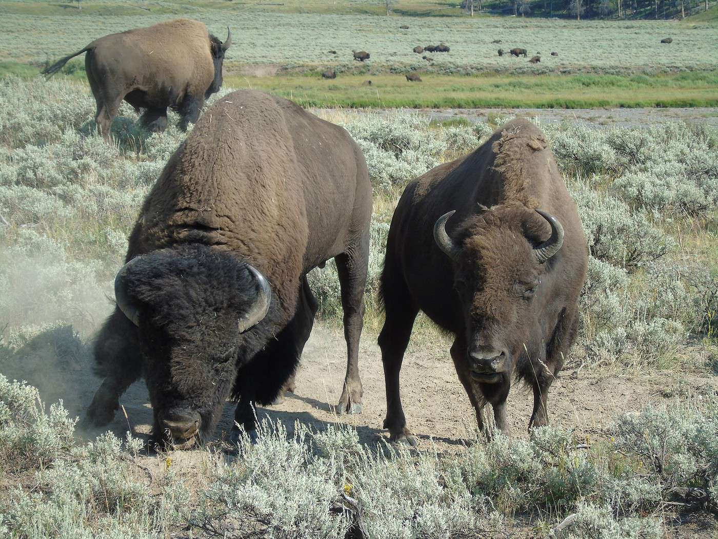
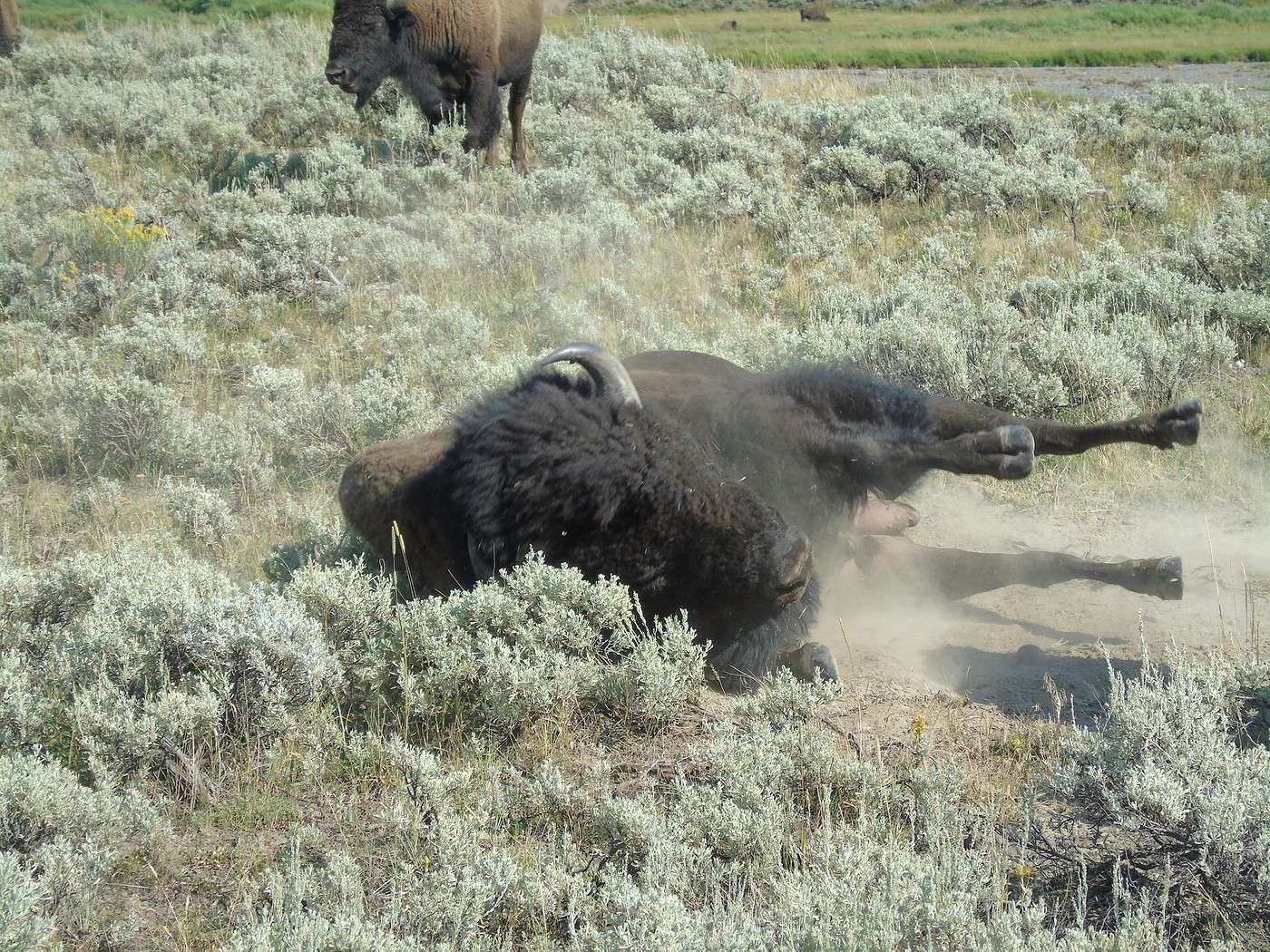
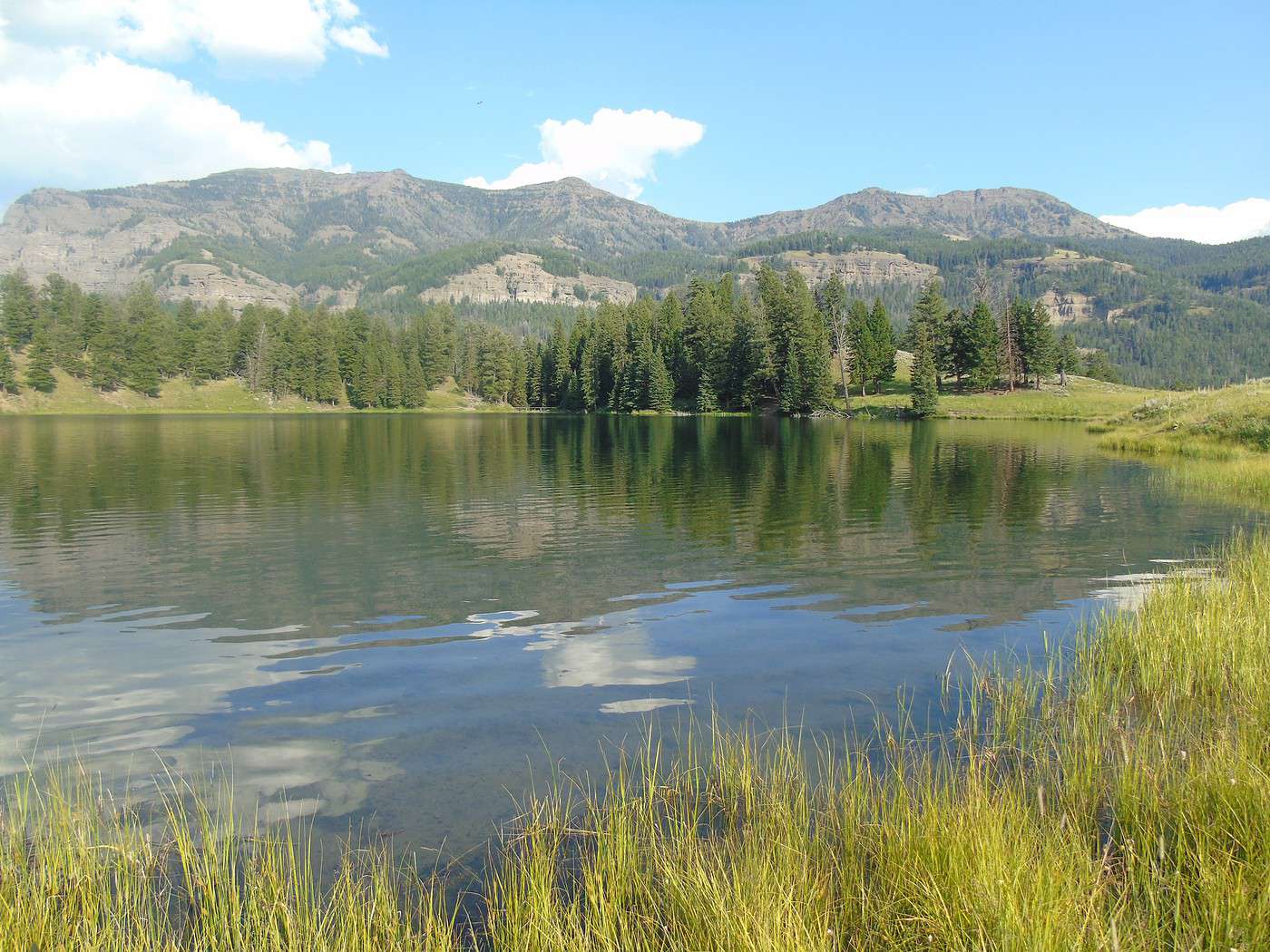
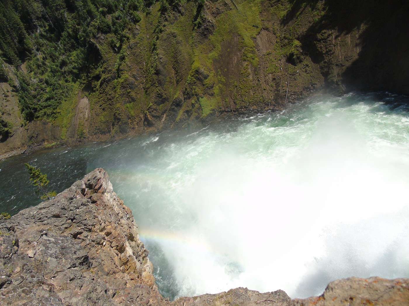
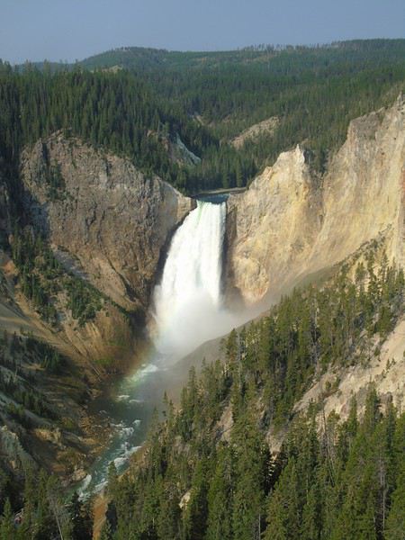
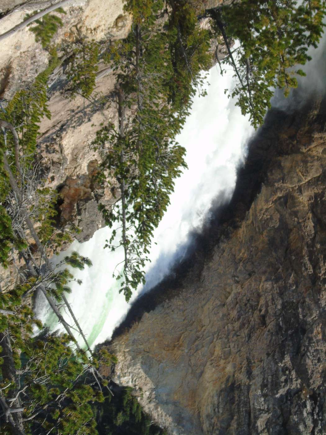
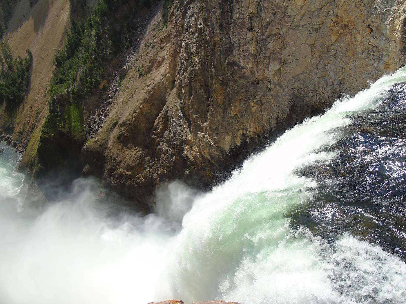
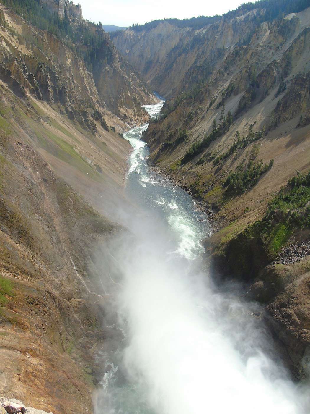
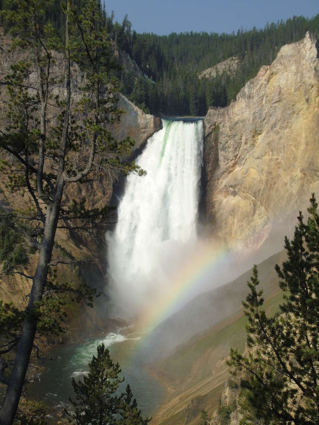
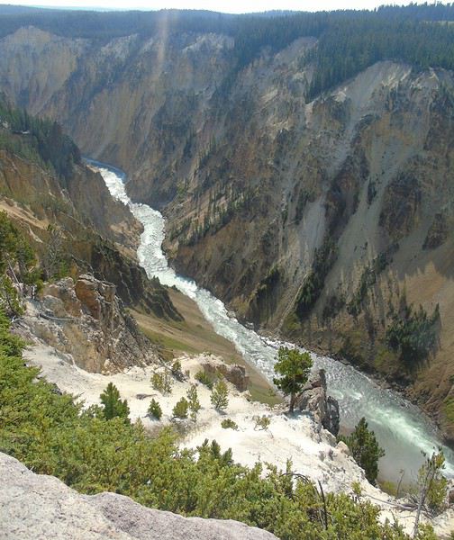 We head down to Red Rock Point (about 1 km, 150 m elevation change). Gorgeous—a beautiful rainbow forms at the base of the waterfall. The climb back up is pretty steep, but it’s definitely worth seeing.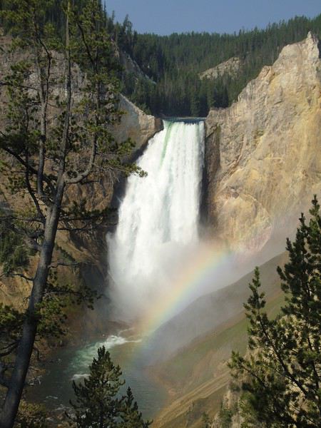
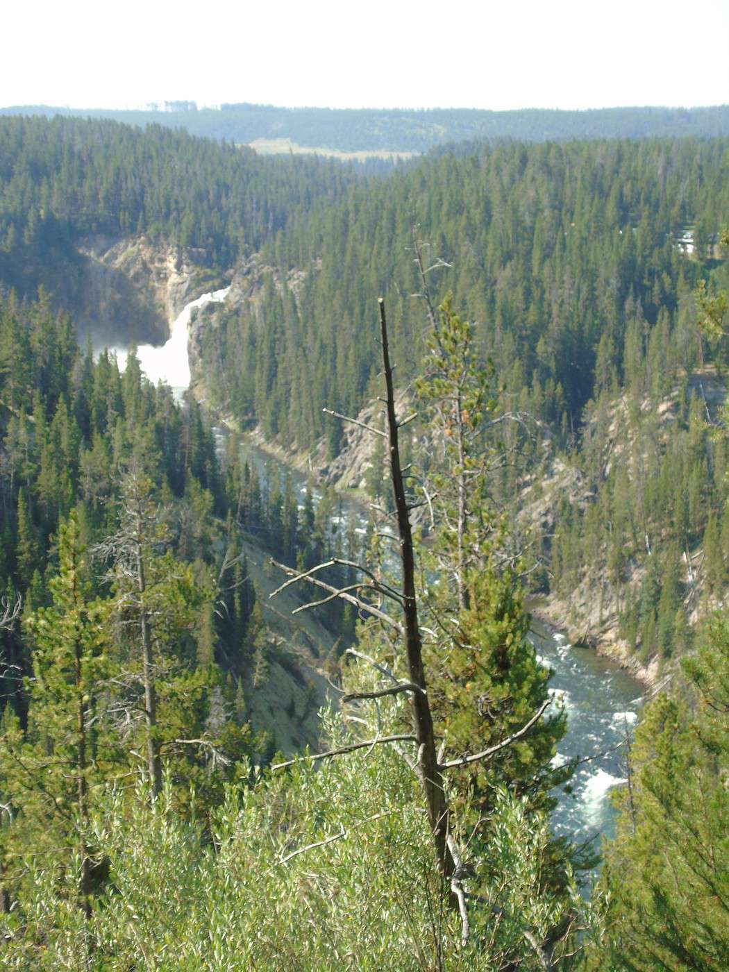
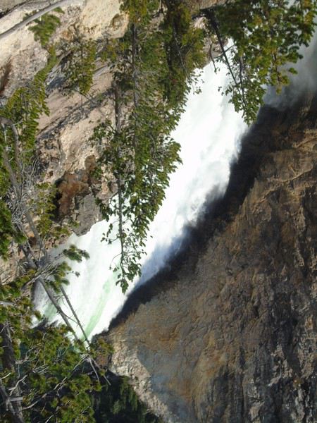 We spot Upper Falls in the distance—way more impressive from here than from Upper Falls View.
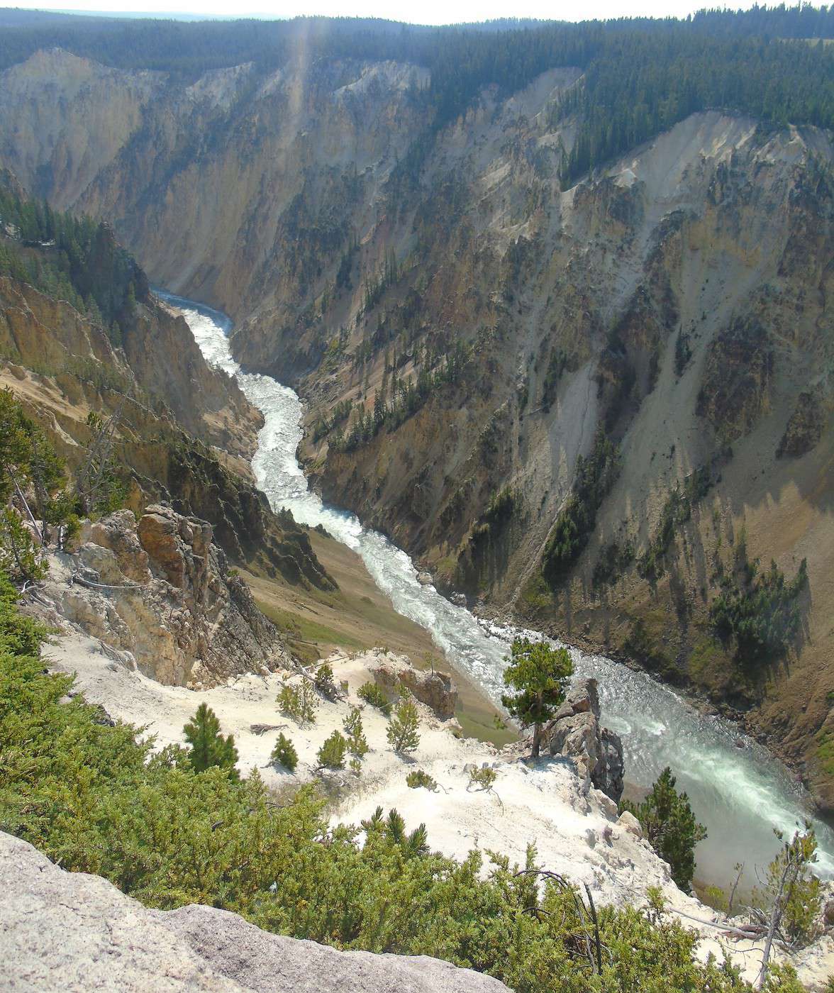
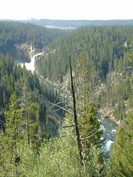 From Brink of the Lower Falls, the return trip is also pretty steep. The view is completely different since you end up on a platform overlooking Lower Falls. Worth seeing, but I much preferred the view from Red Rock Point.
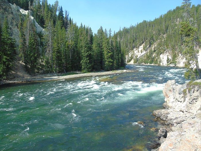
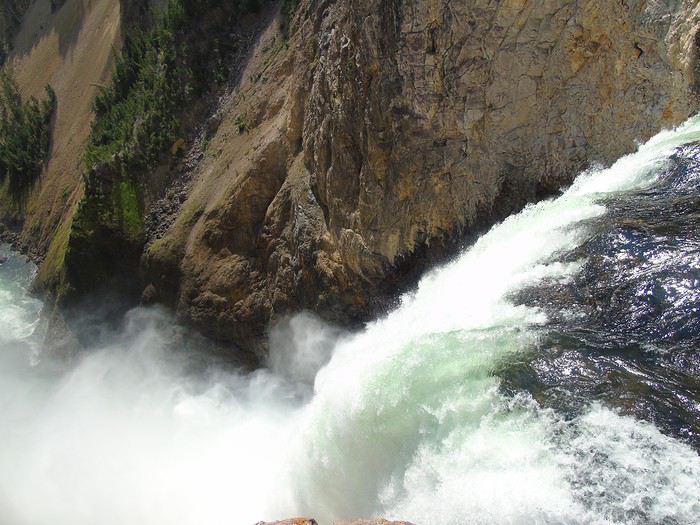
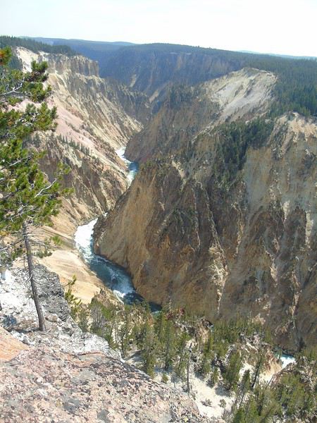
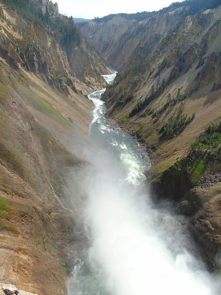 We probably should’ve done these hikes in the opposite direction to enjoy them more. We take the North Rim Trail back to Grand View.
 The rest of the trail is closed for construction.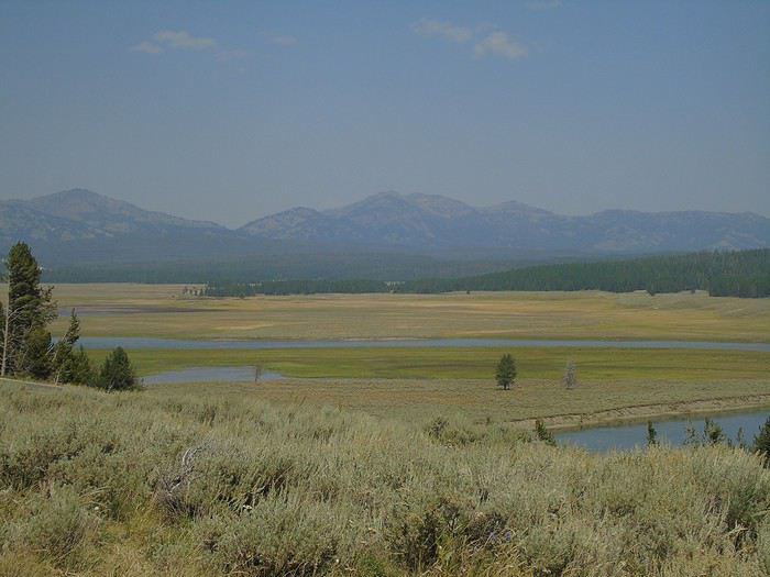
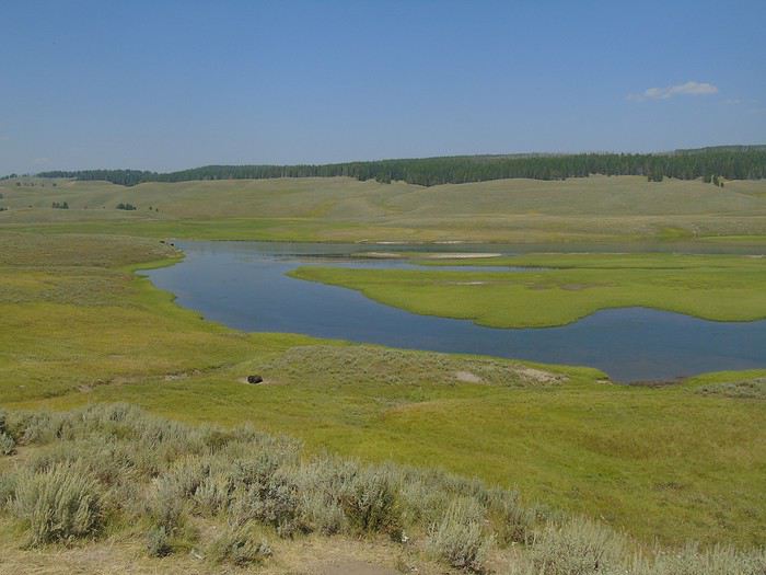
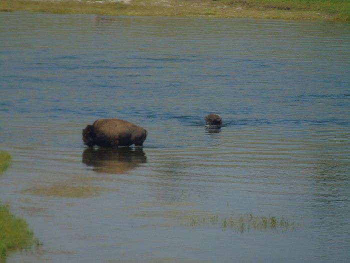
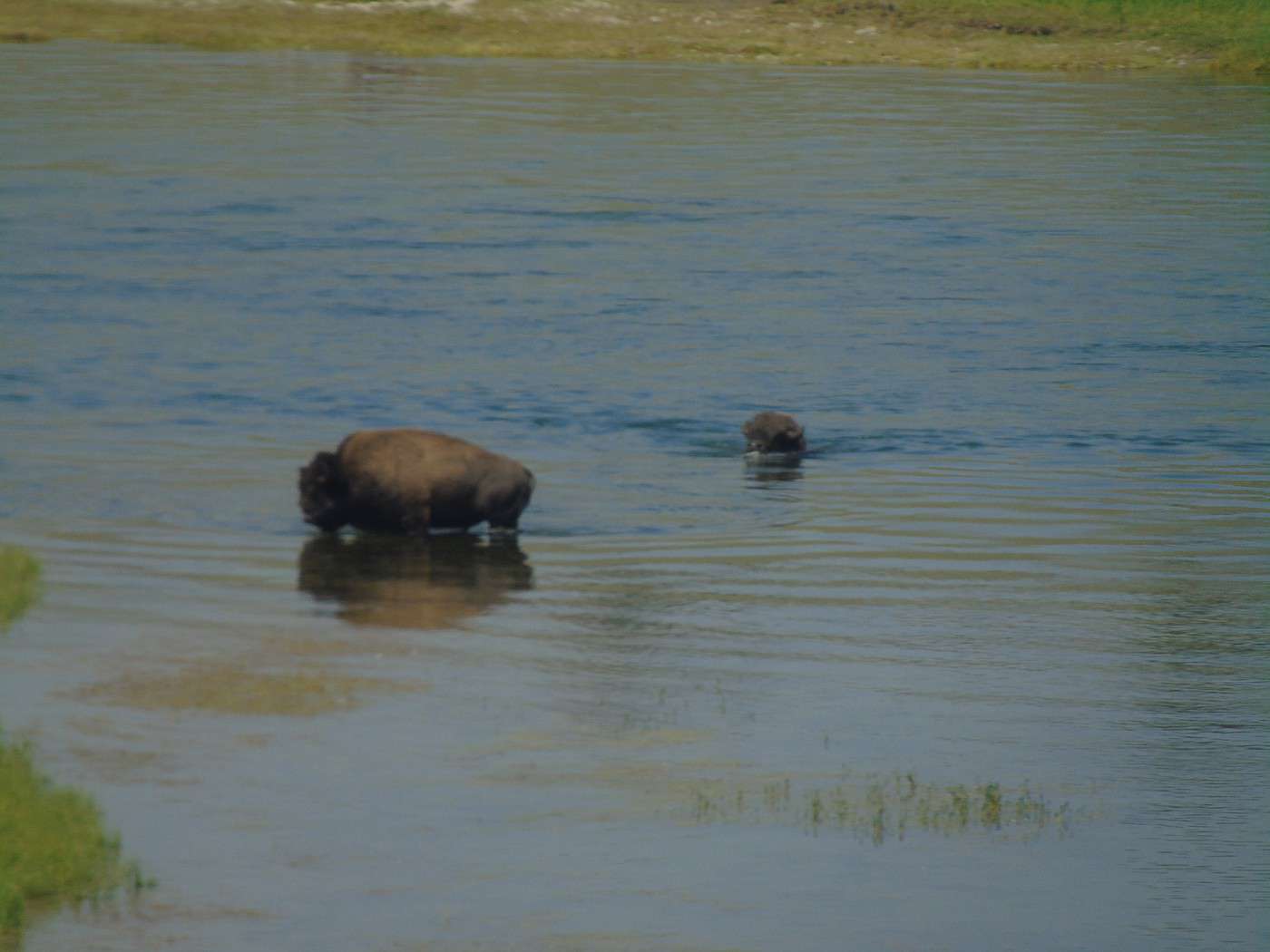
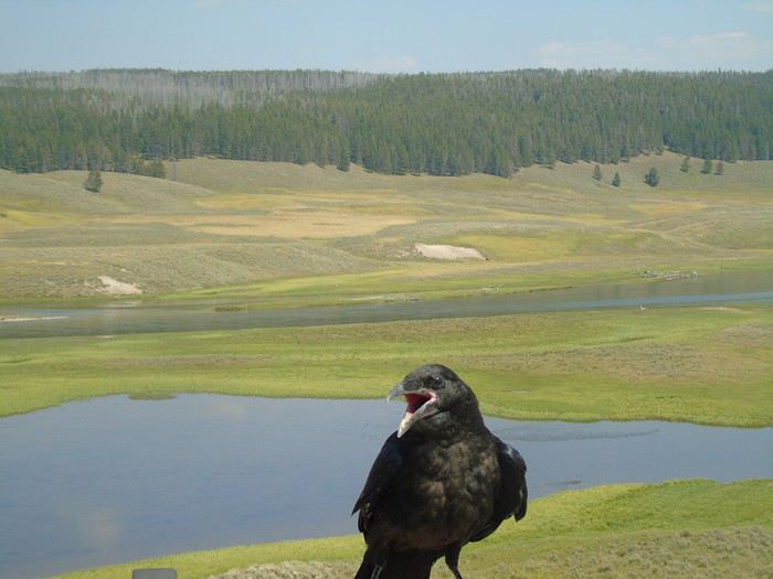 We watch two bison crossing the Yellowstone River. They swim well despite their size.
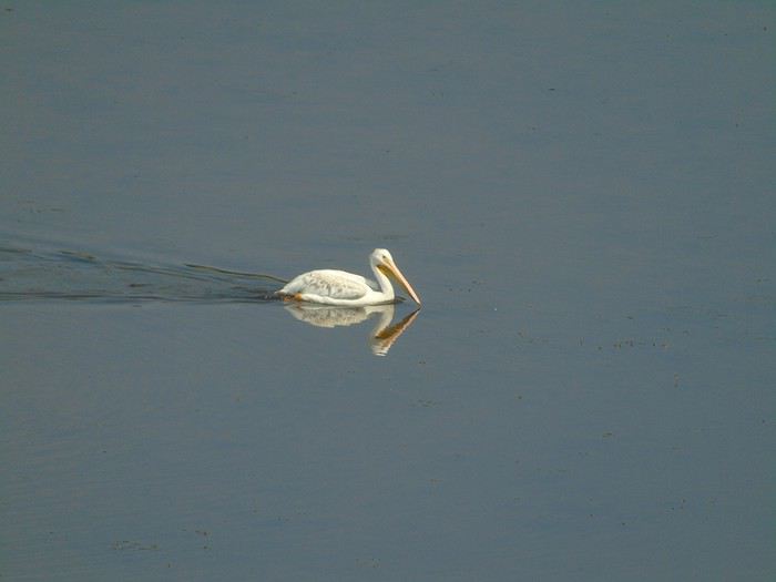
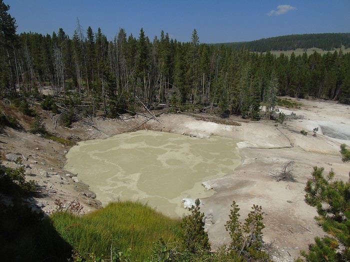
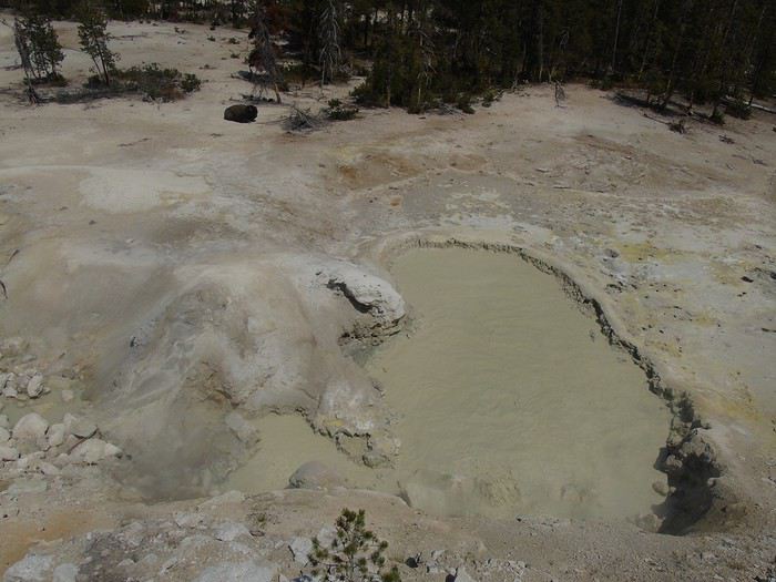
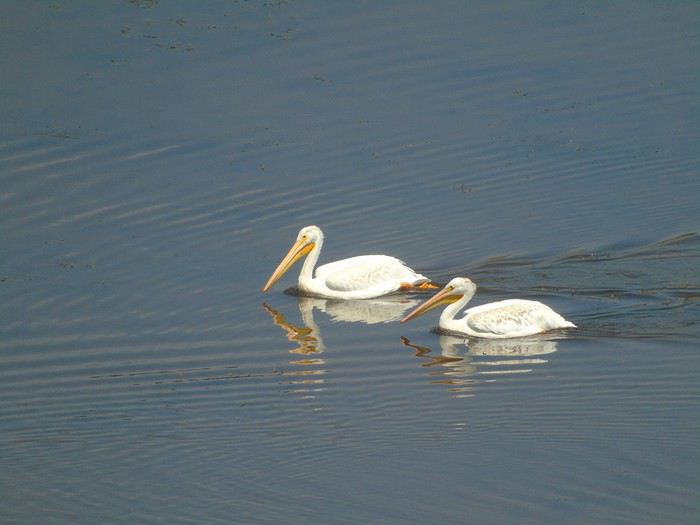 We turn around at Sulfur Caldron, where a bison doesn’t seem bothered by the smells.
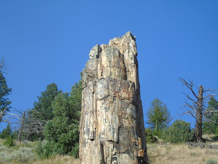
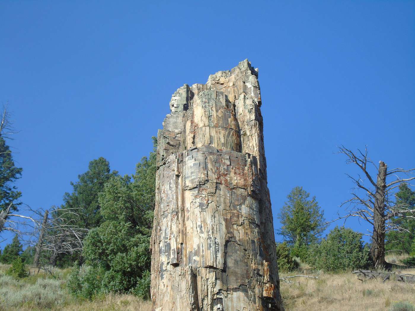
 We reach Petrified Tree via Dunraven Pass, which we never get tired of.
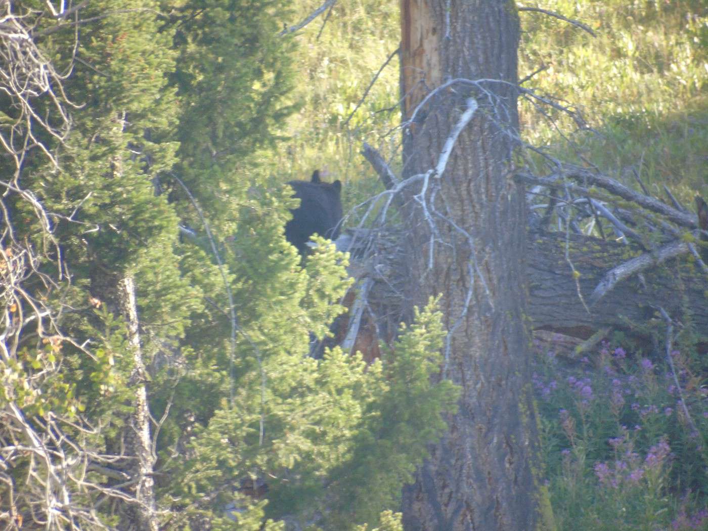
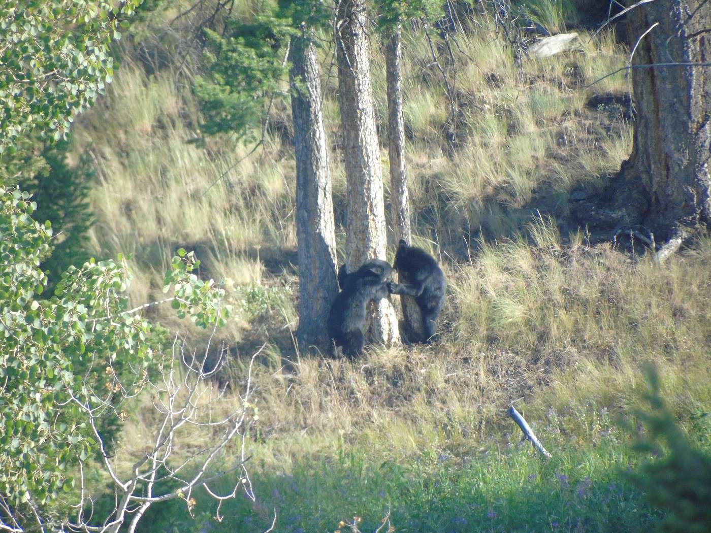
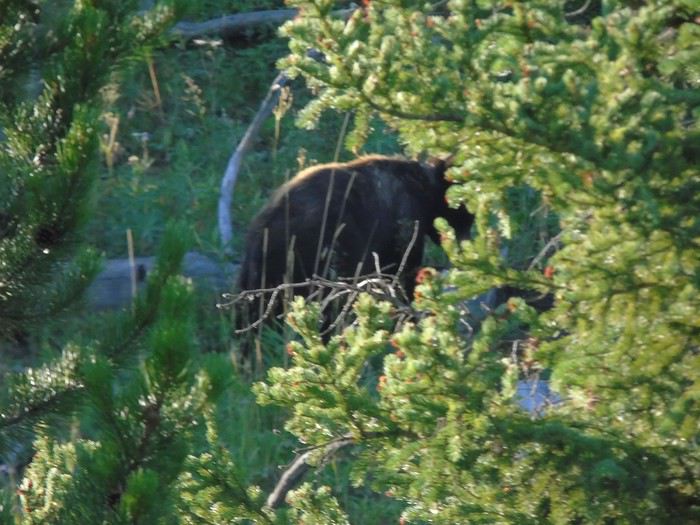
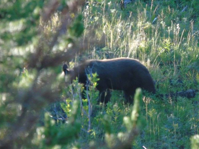
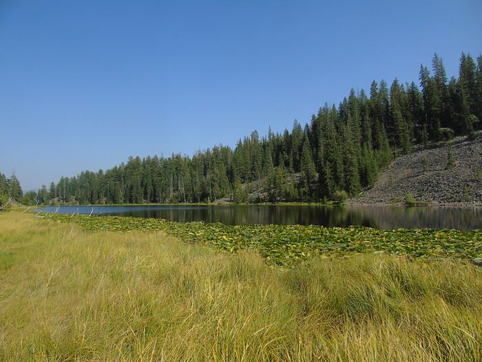 At the end of the day, we get back in the car to drive Blacktail Plateau Drive—a one-way (west/east) unpaved road open to all vehicles. This area is known for bears. On the main road, a crowd makes us stop, but the bear just left for the woods... We’re alone on this trail, scanning everywhere, but no bears in sight! Pretty disappointed, we head back to the cabin.
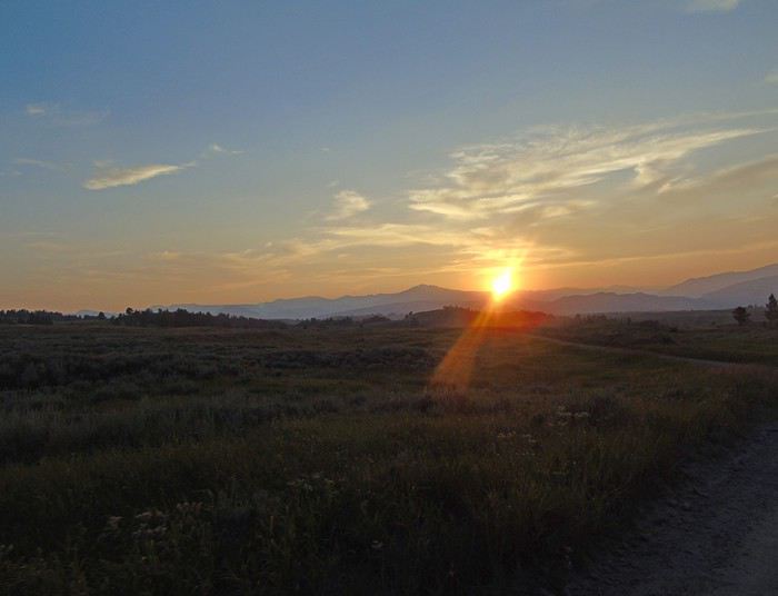 For dinner tonight, we eat at the Roosevelt Lodge Dining Room. The food is good, and the prices are very reasonable.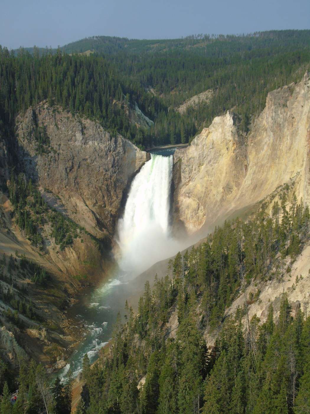
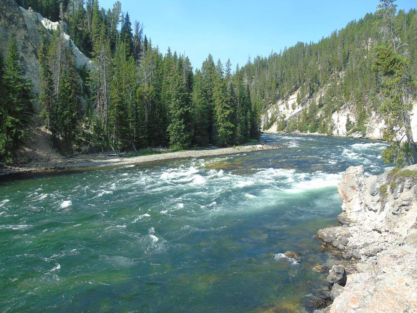
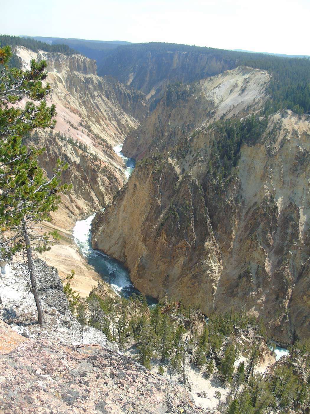
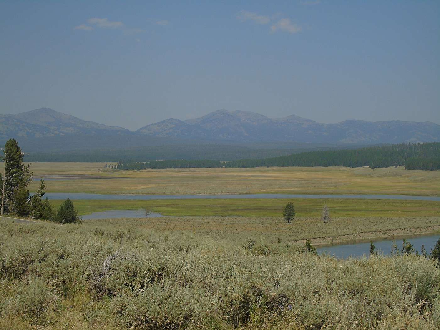
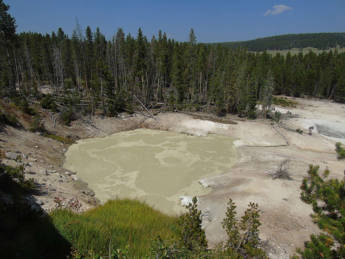
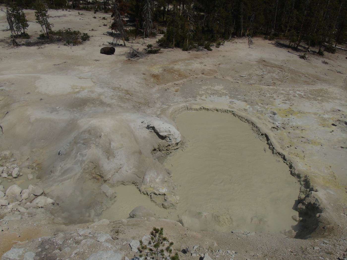

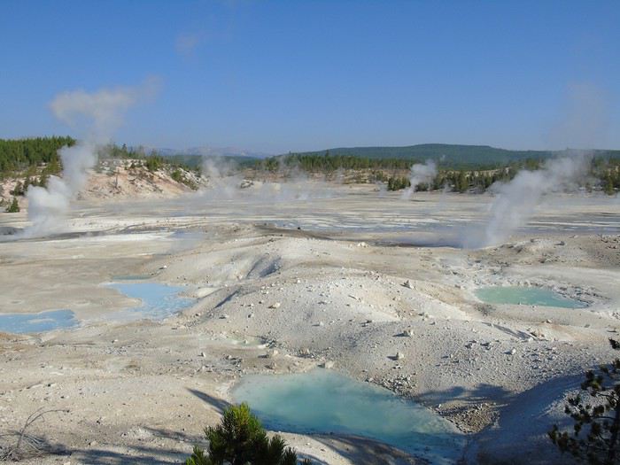
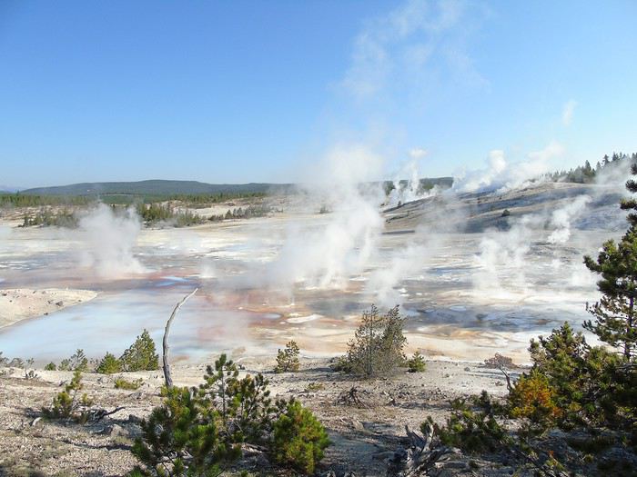
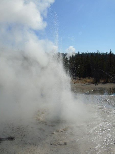
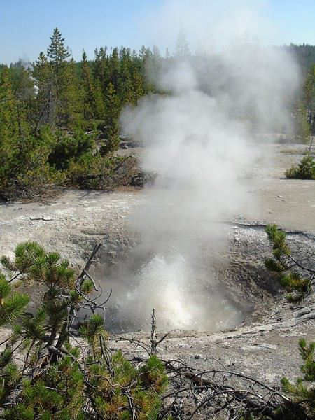
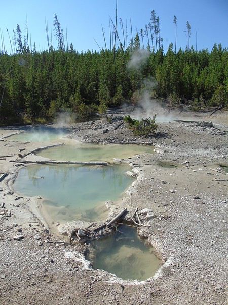
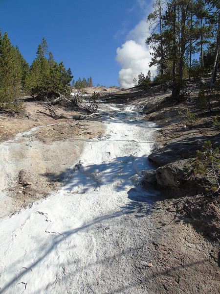
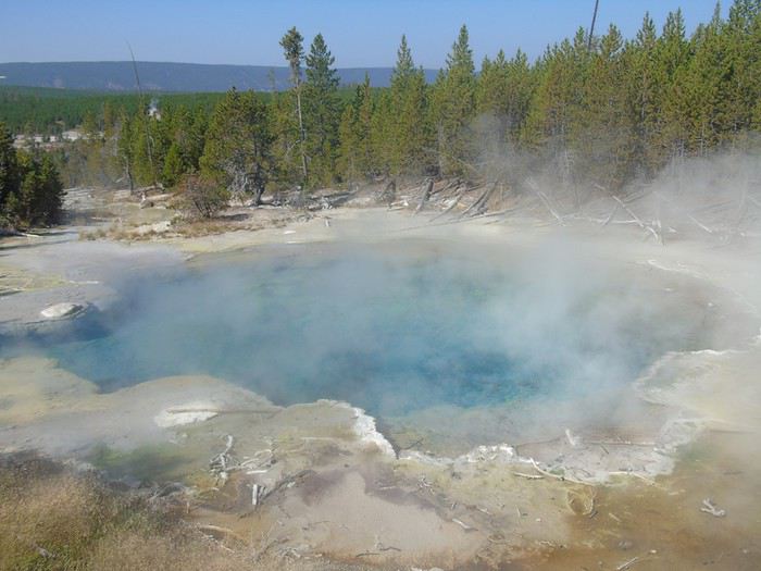
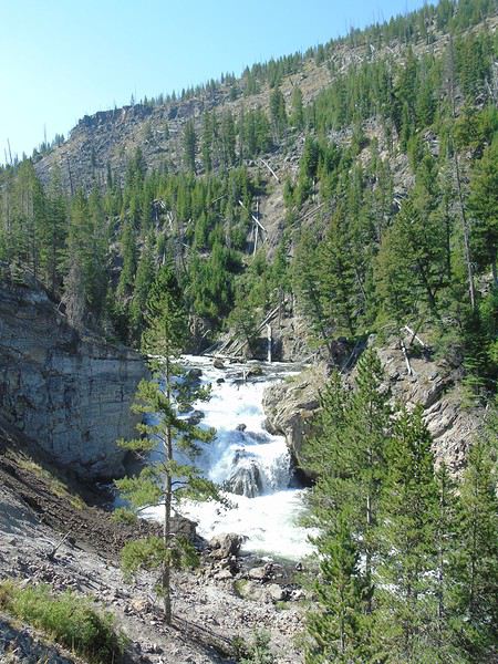
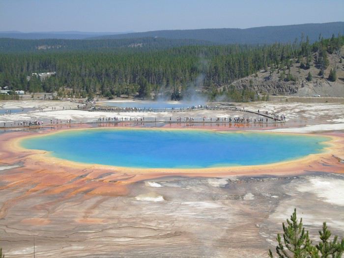
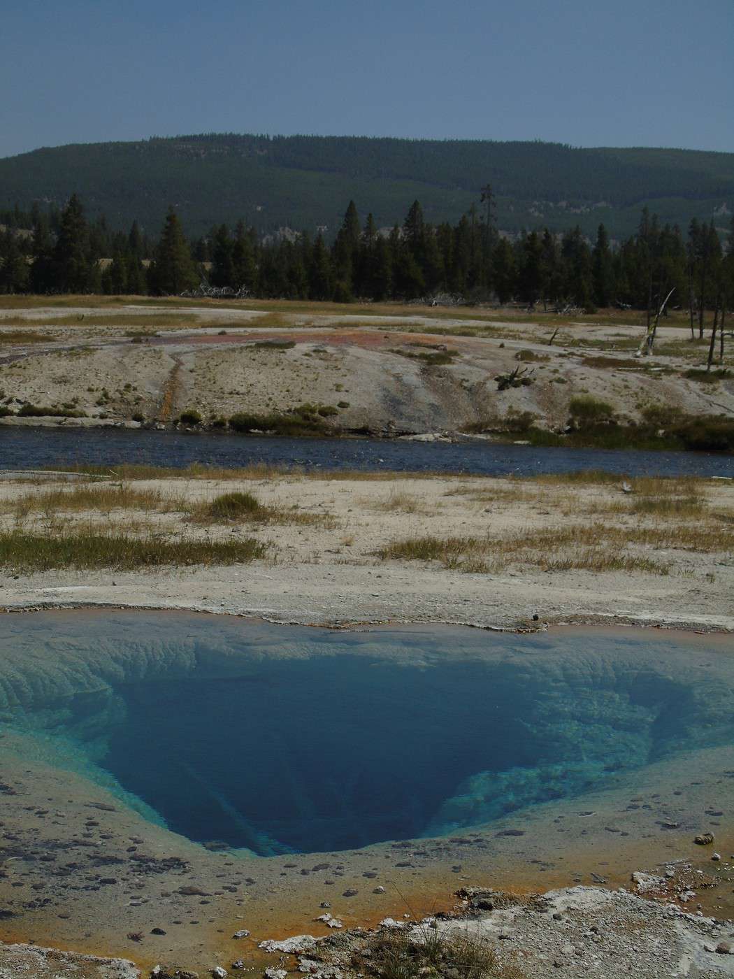
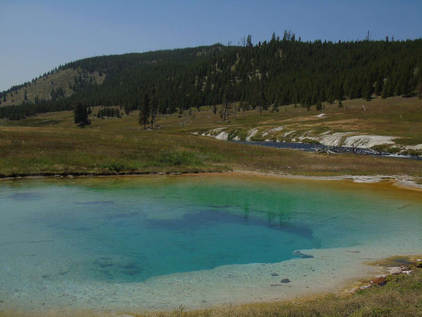
 The pools along the trail were also beautiful.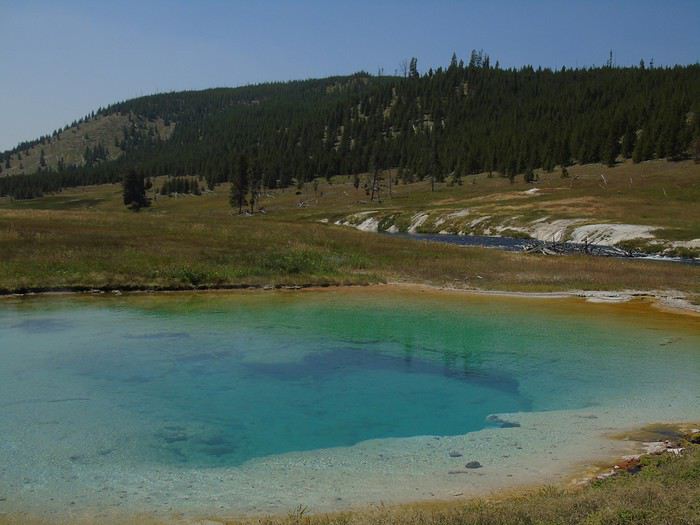
 We couldn’t resist one last stop at Old Faithful to admire the geyser again. The kids picked up their Junior Ranger badges, and then we hit the road toward Grand Teton.
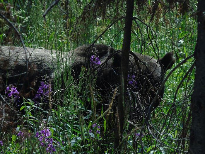
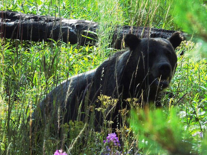
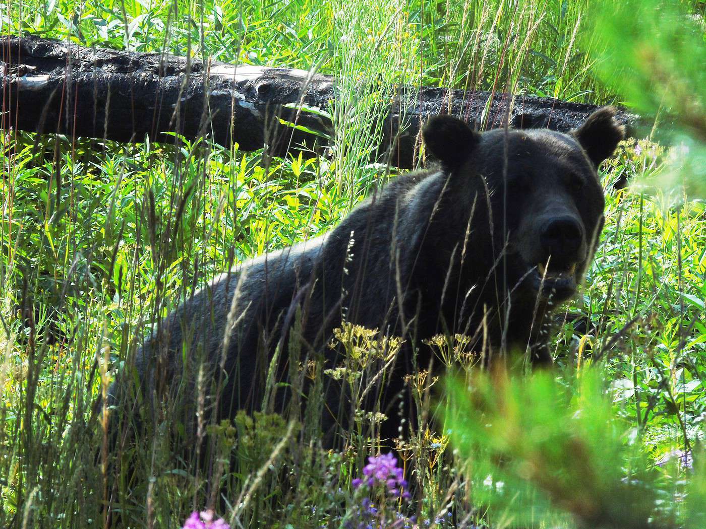
 At the border of the two parks, a grizzly was strolling calmly just a few meters from the road. Amazing. It even looked at us for the photo. We were really spoiled. Turns out, we saw more wildlife without even looking for it than by going to the "famous" spots!
 We checked into our "tent cabin" for the night. Cheap for the location (90 €), but honestly, not great.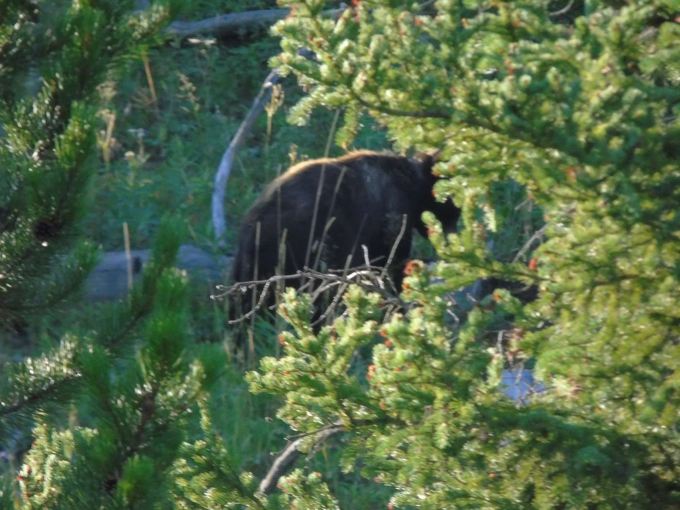
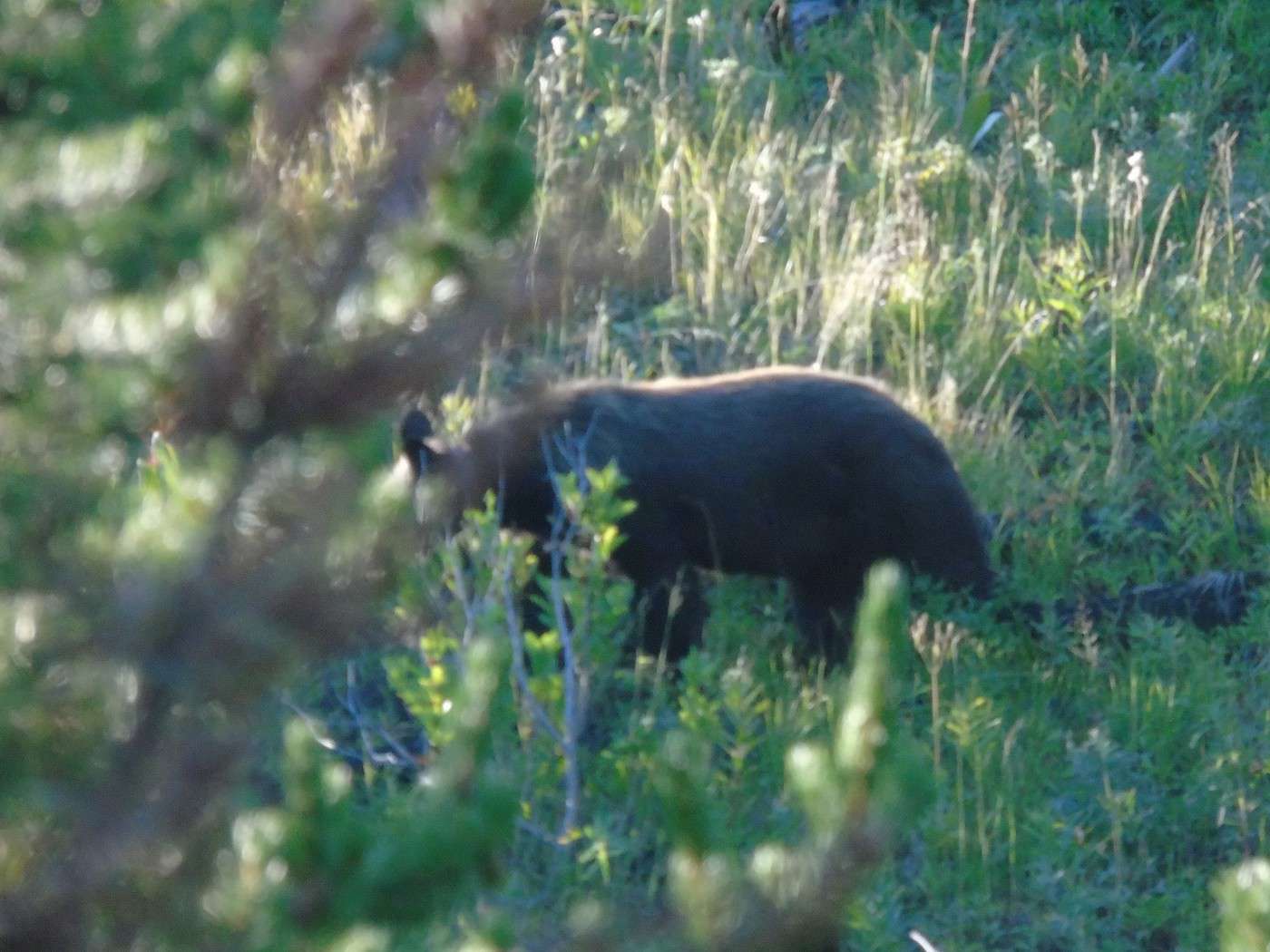
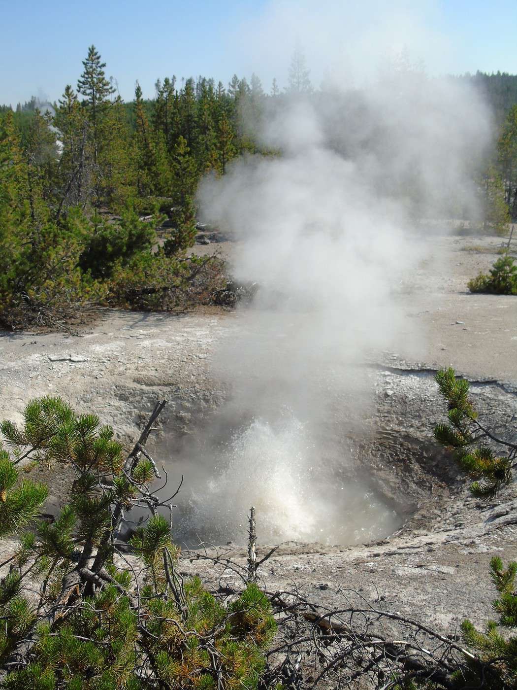
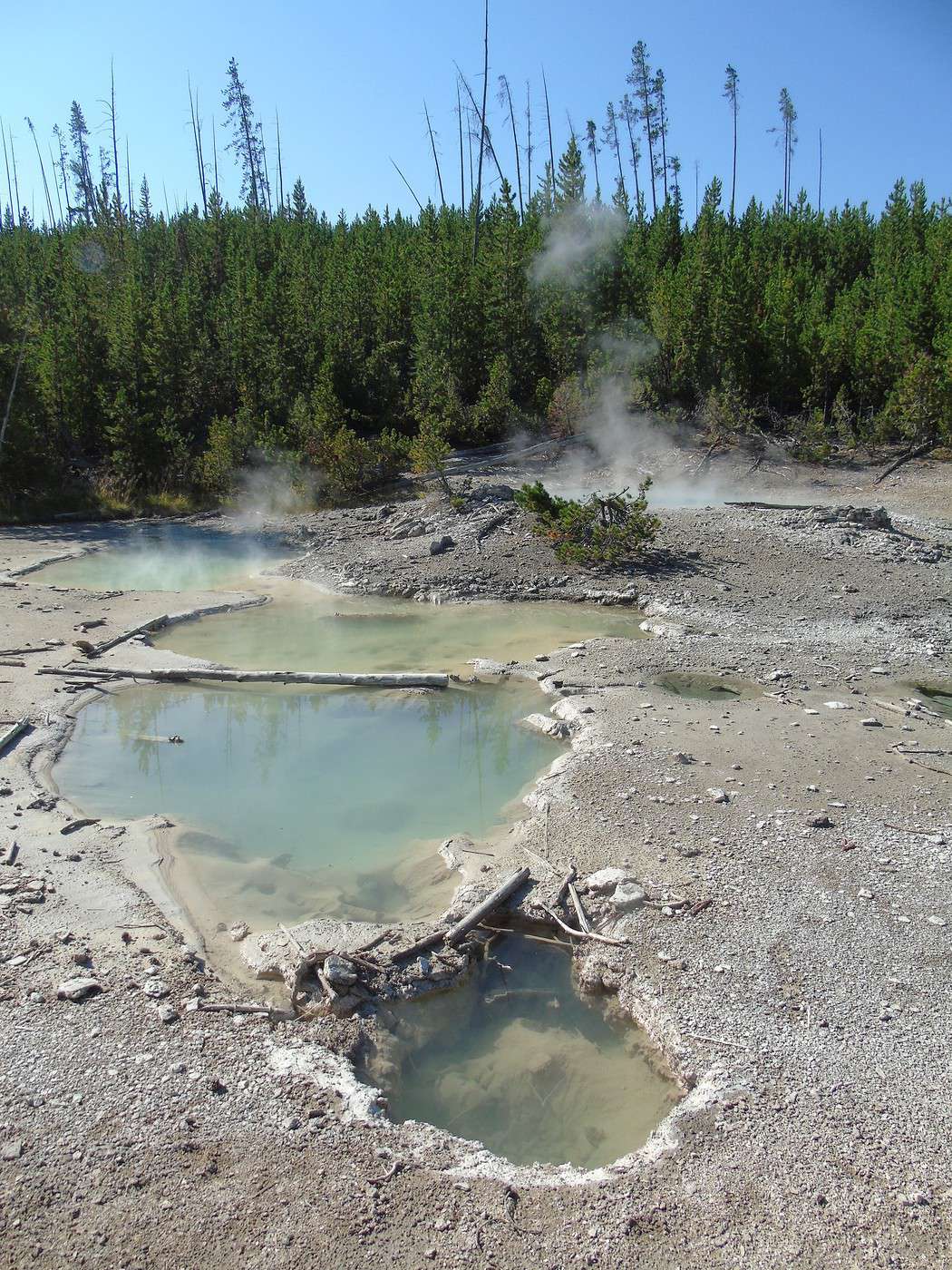
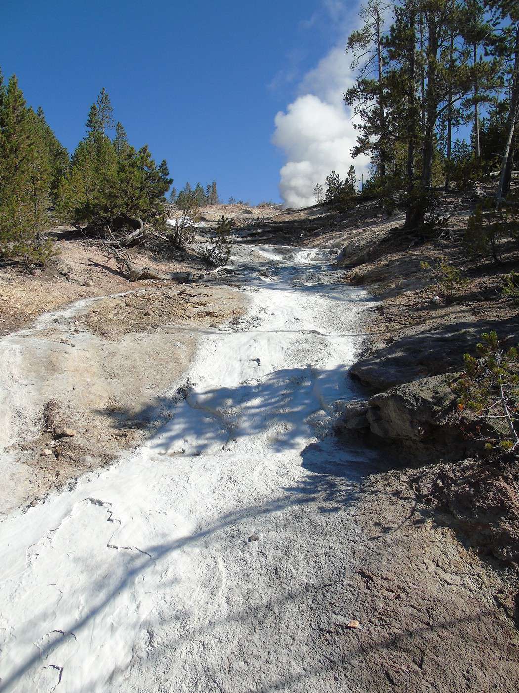
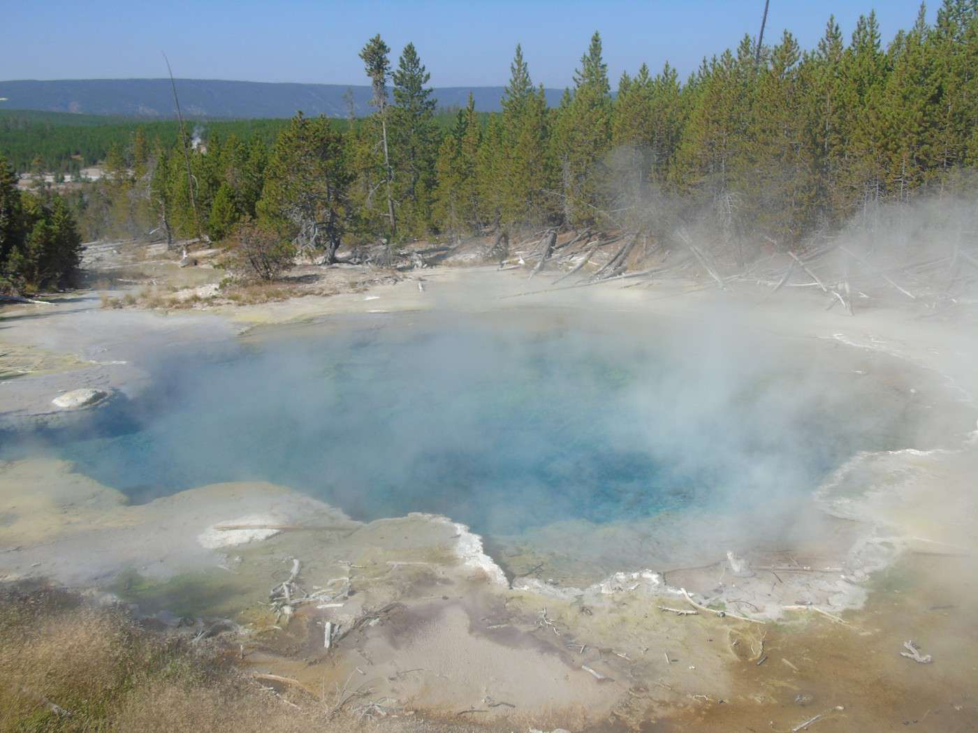
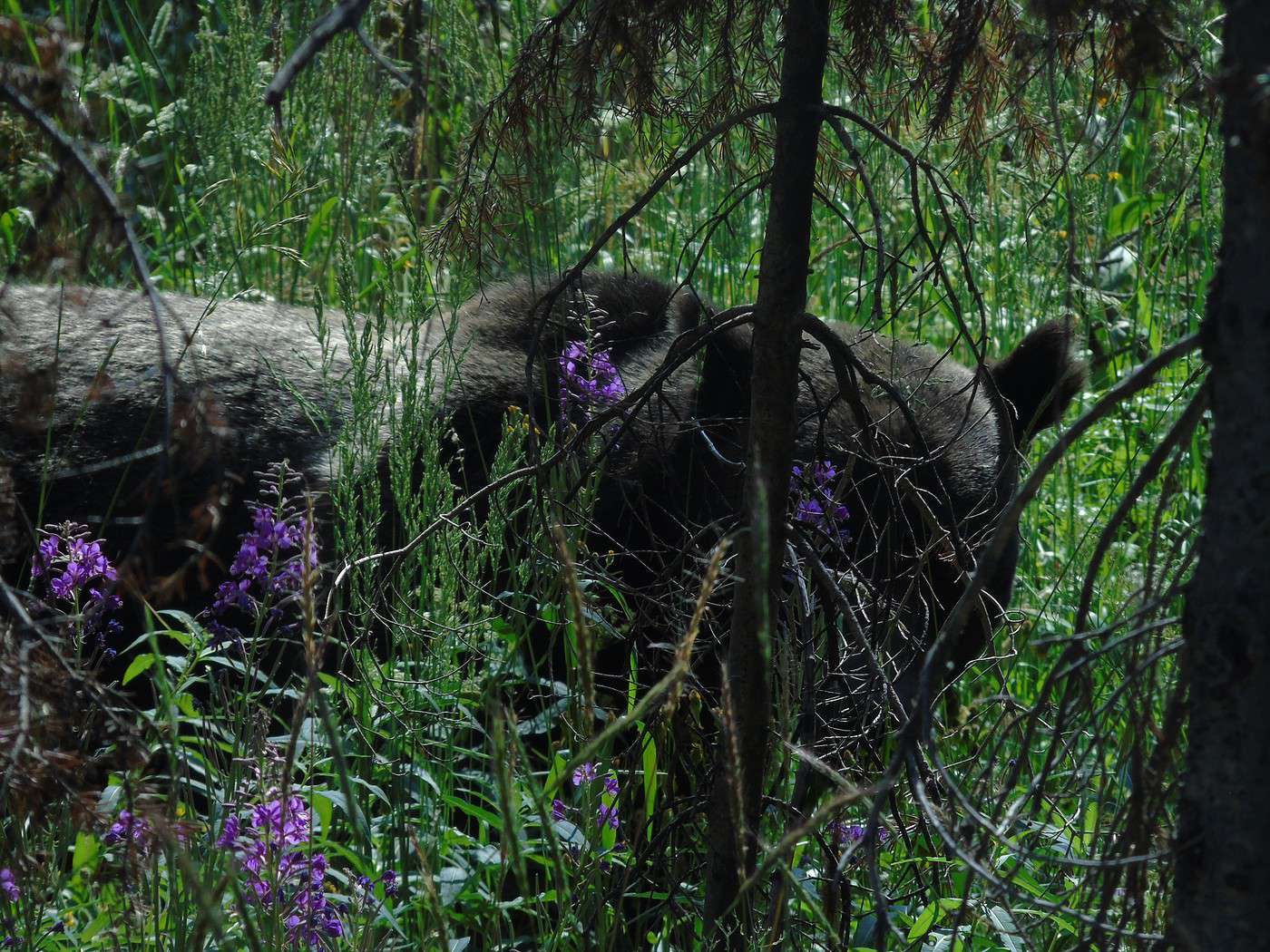
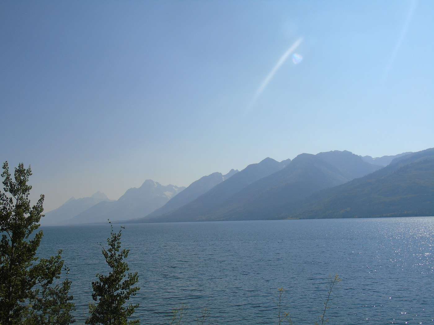
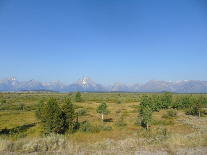 A ranger, stationed at the bottom, warns us about bears and reminds us of safety rules. Halfway up, a car is stopped in the opposite direction to watch a bear. There’s no one behind us, so we make a quick stop. The ranger’s car pulls up behind us, and we drive off. Missed photos, no big deal—the day’s off to a great start!
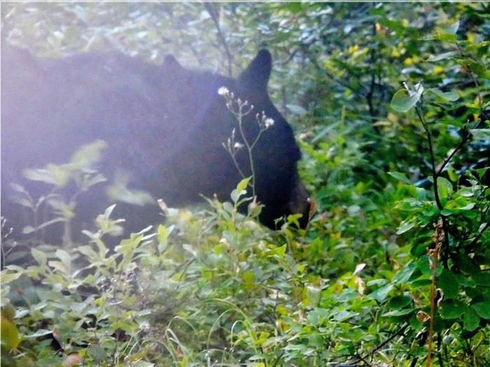
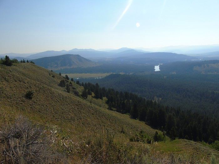
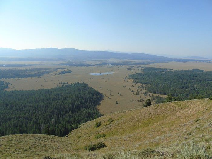
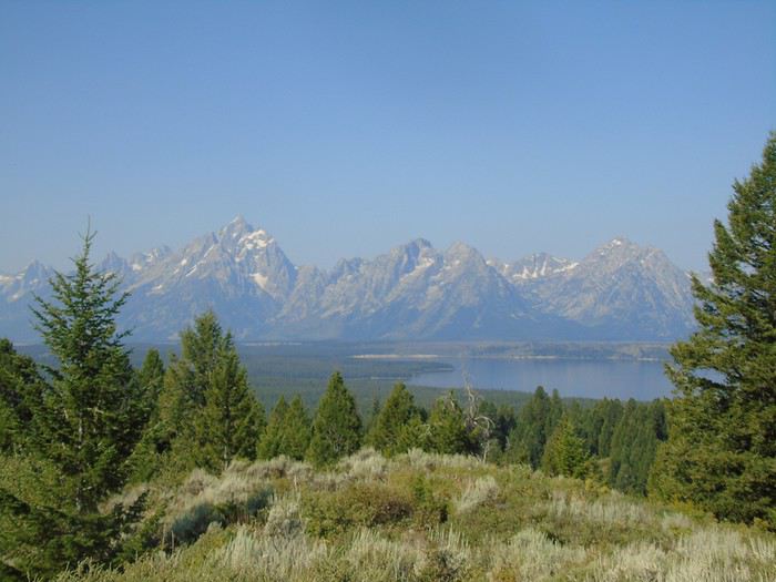 On the way down, we don’t run into the bear again (too bad), but we do see the ranger talking into his walkie-talkie while gesturing—two cars are parked on the side of the road with no one inside.
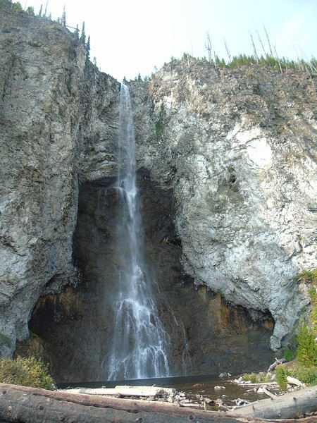
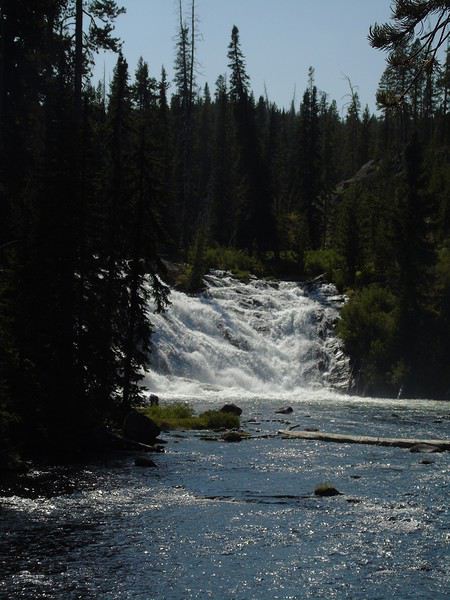
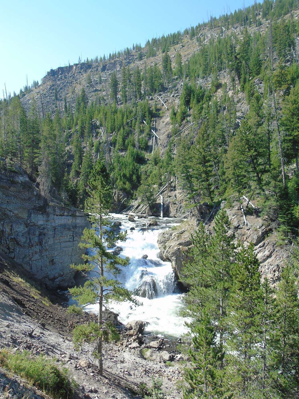
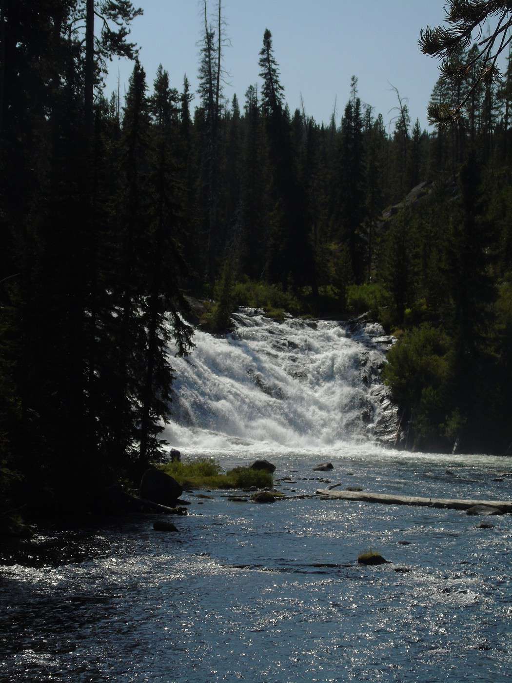
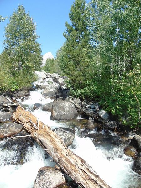
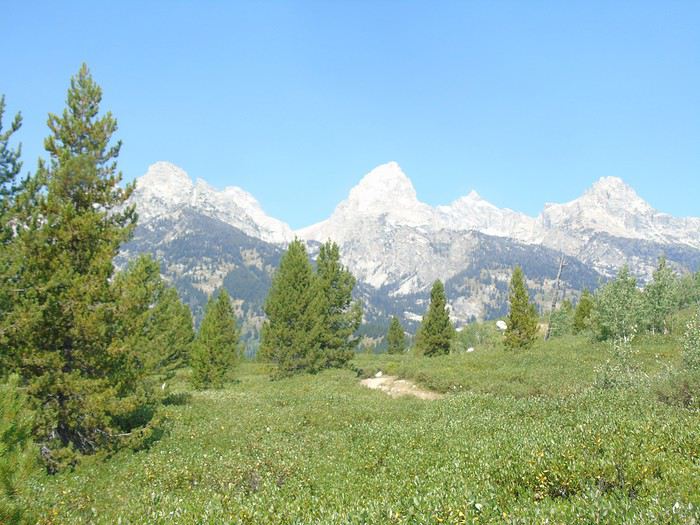 Not long after setting off, we hear a waterfall in the distance.
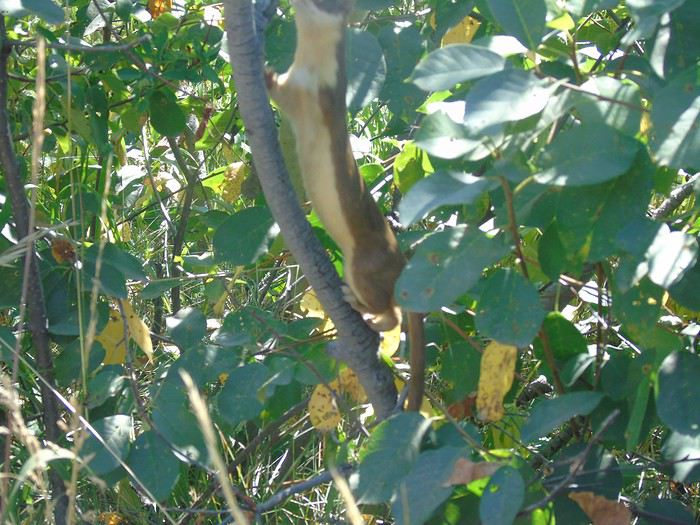
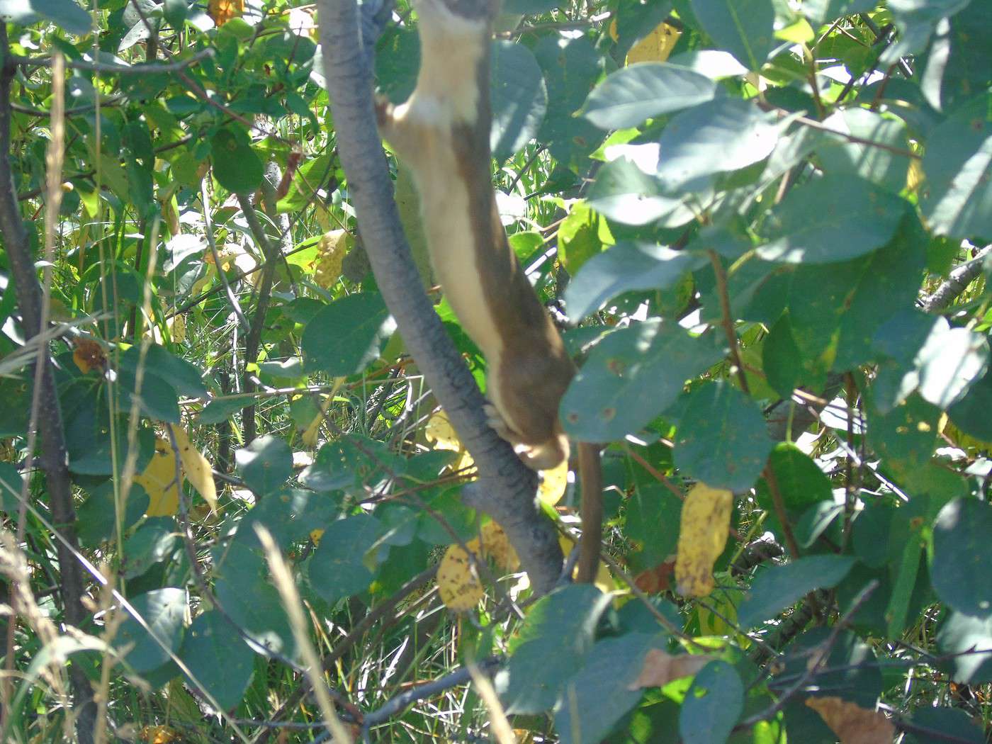
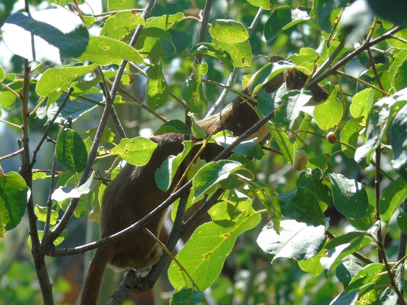
 Then a weasel plays in the foliage.
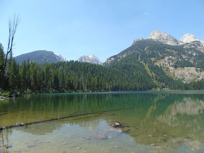
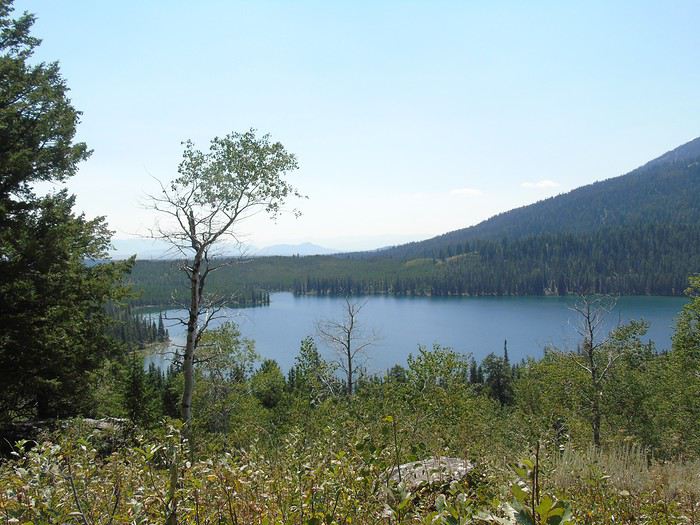
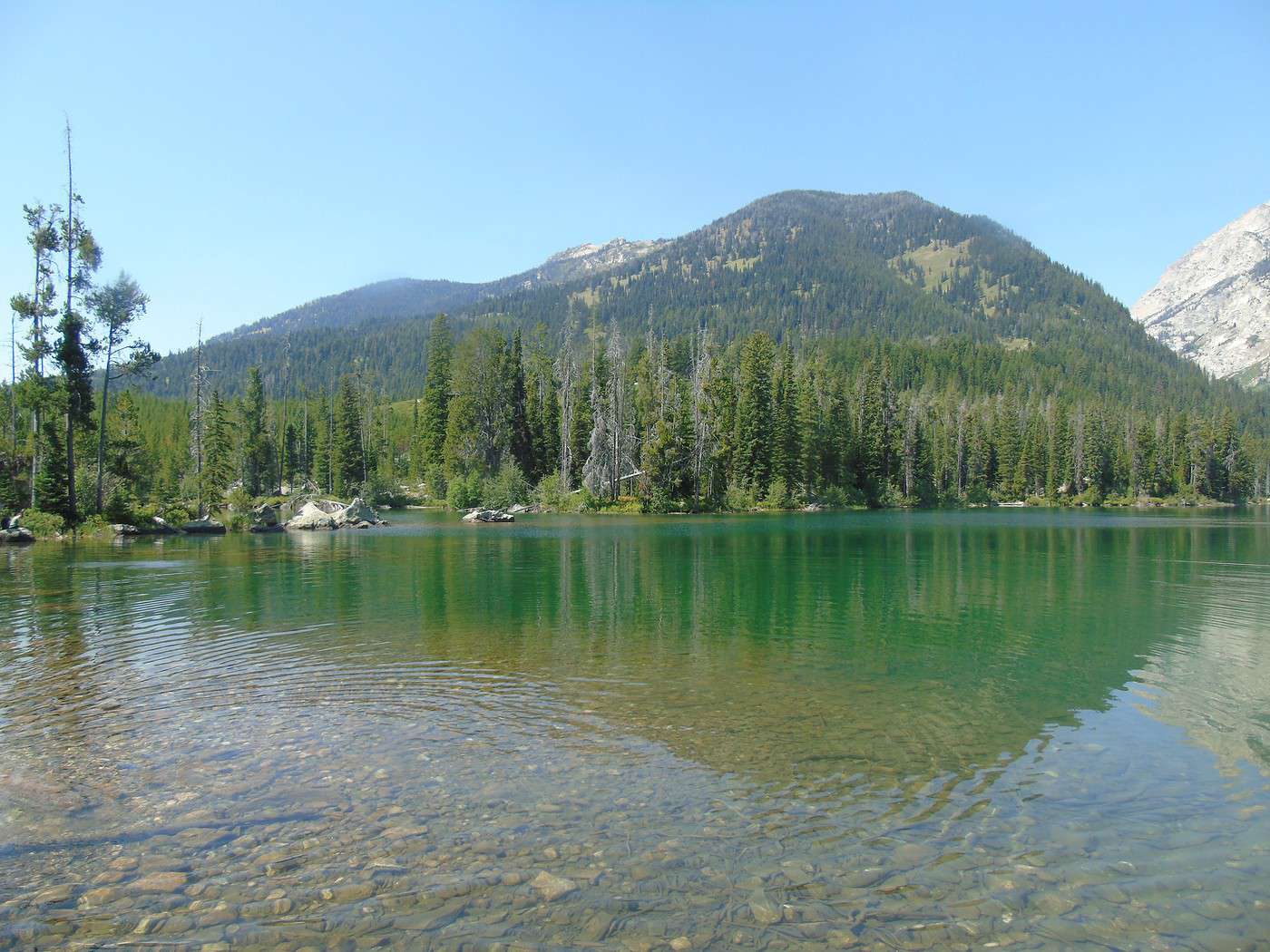
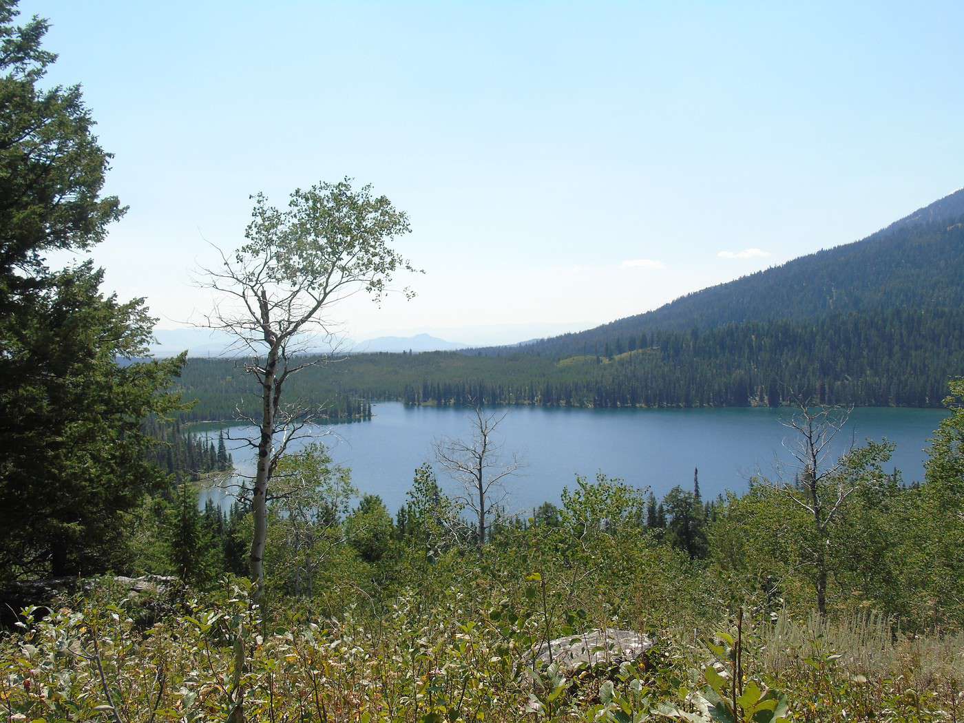
 We found this hike, rated as moderate, pretty tiring—there’s quite a bit of climbing. It was the toughest hike we did. But it’s worth it—these two lakes are stunning. Plus, we didn’t run into many people, even though the parking lot was full.
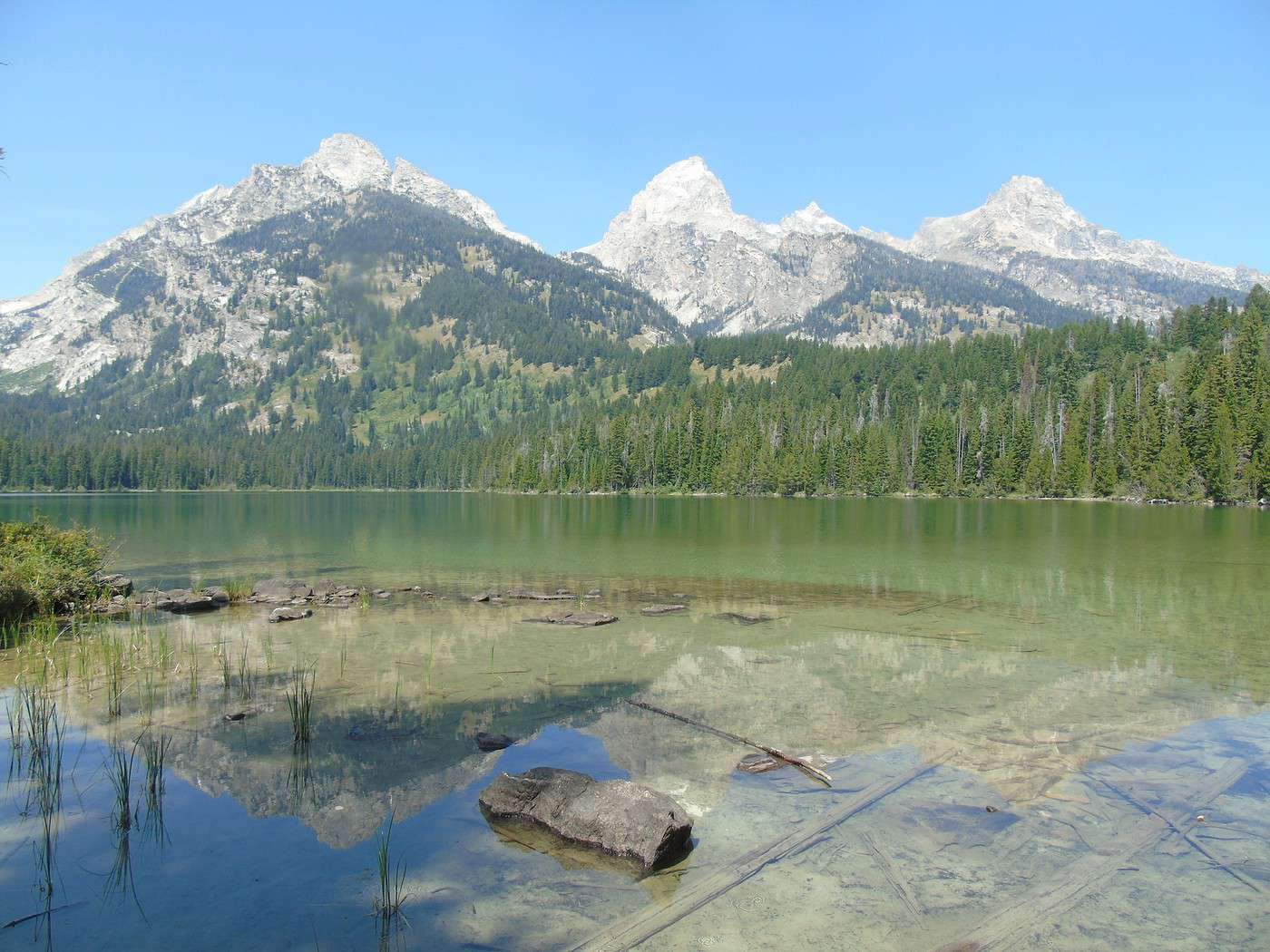
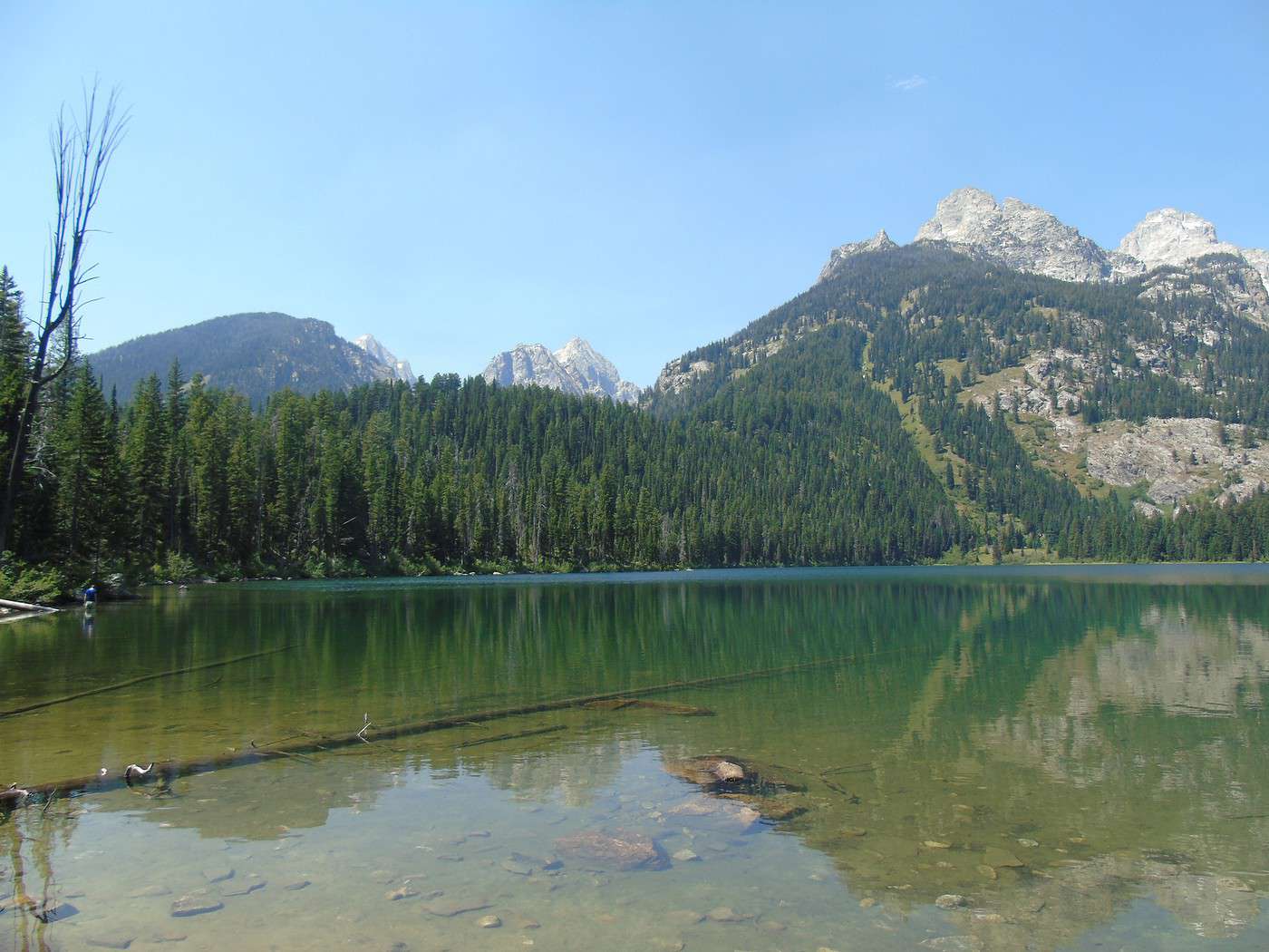
Taggart Lake:
We found this hike, rated as moderate, pretty tiring—there’s quite a bit of climbing. It was the toughest hike we did. But it’s worth it—these two lakes are stunning. Plus, we didn’t run into many people, even though the parking lot was full.
Taggart Lake:
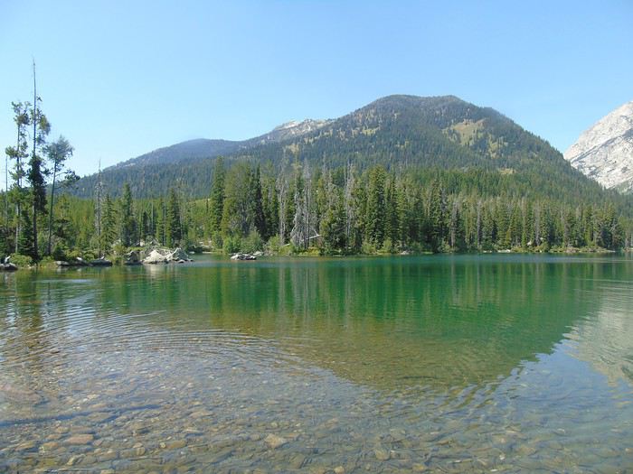
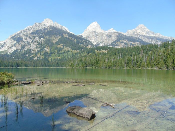 Bradley Lake:
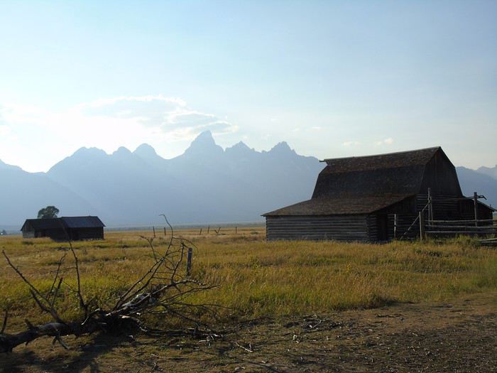
 We don’t have time to visit Menors Ferry Historic District.
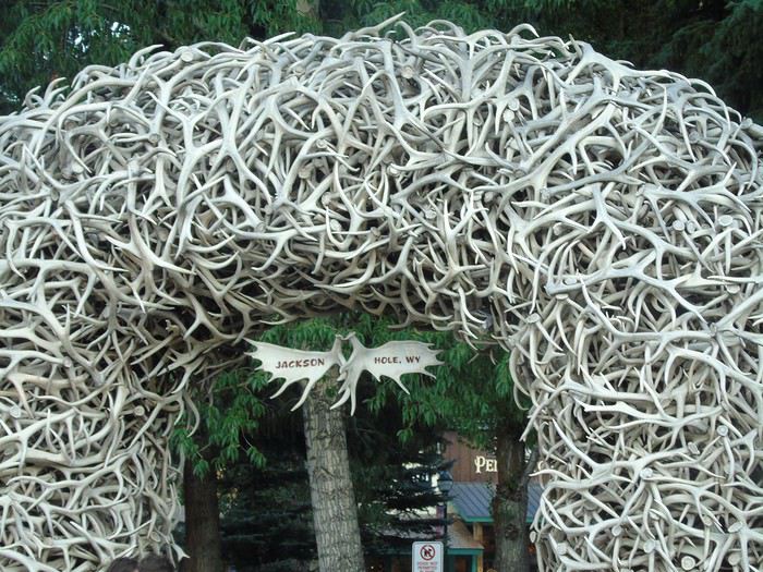 Why did we book so far away? Partly because we didn’t think we’d spend so much time in the park, hotels in Jackson Hole are crazy expensive, and we had a long drive the next day.
Nice road, though—this area has lots of ranches.
Why did we book so far away? Partly because we didn’t think we’d spend so much time in the park, hotels in Jackson Hole are crazy expensive, and we had a long drive the next day.
Nice road, though—this area has lots of ranches.
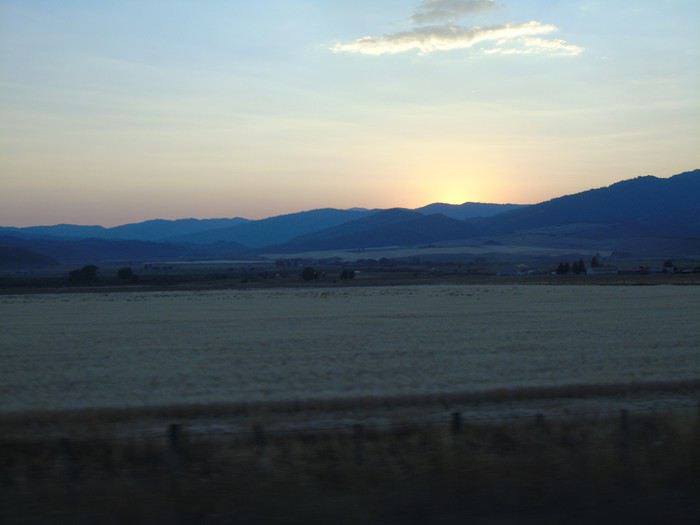
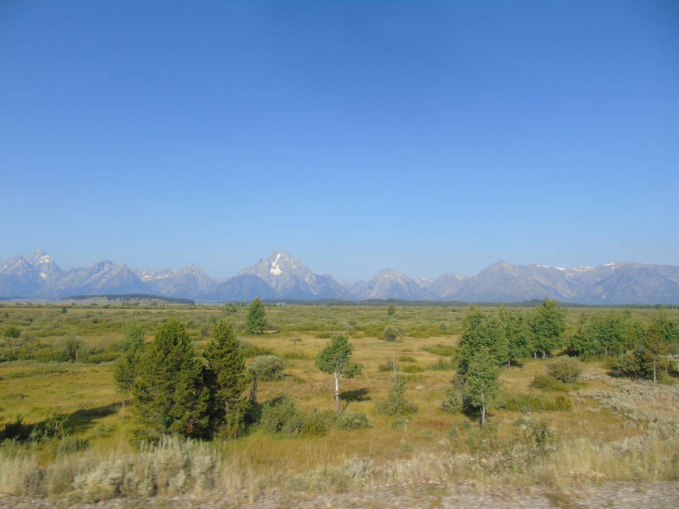
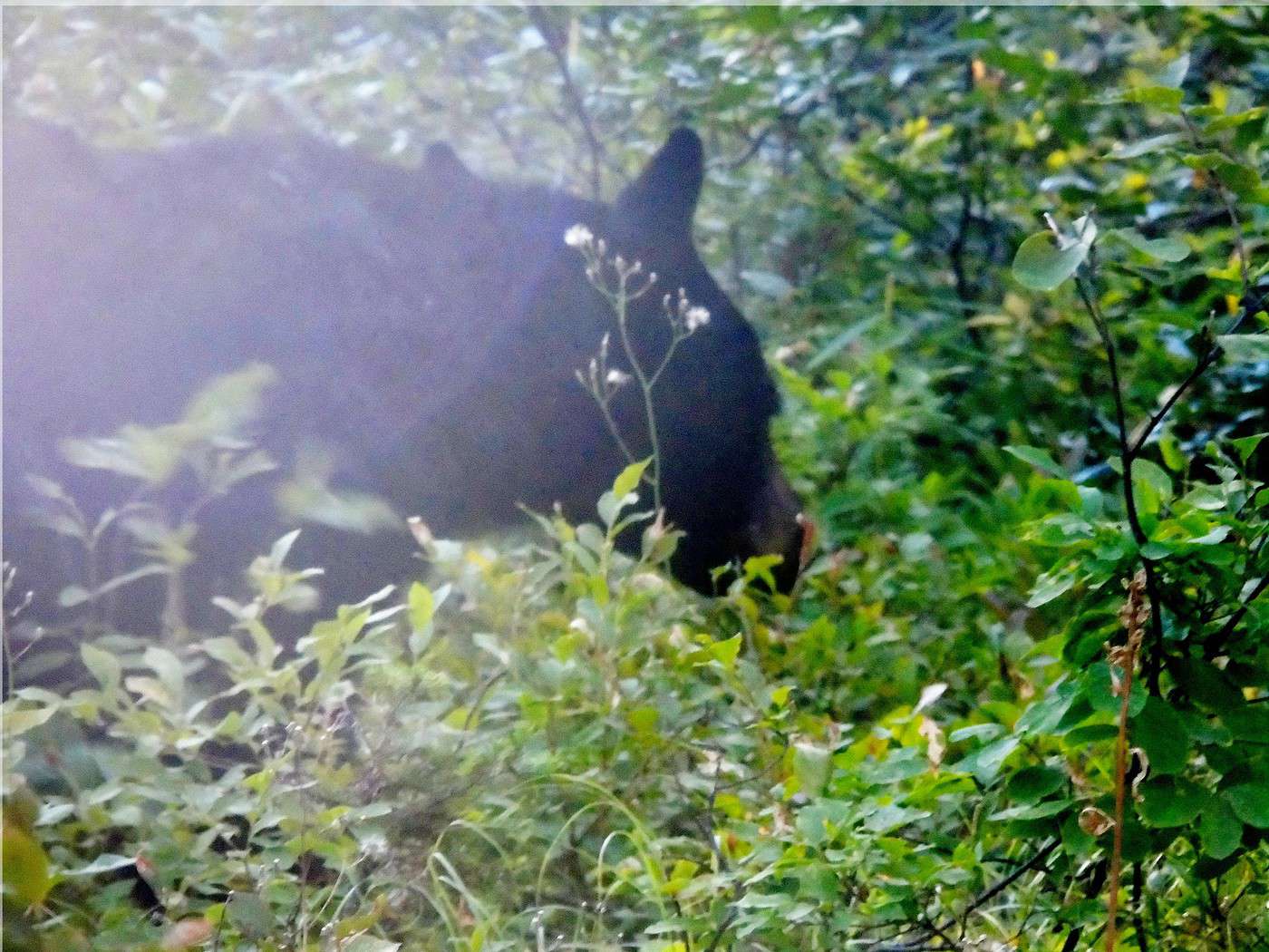
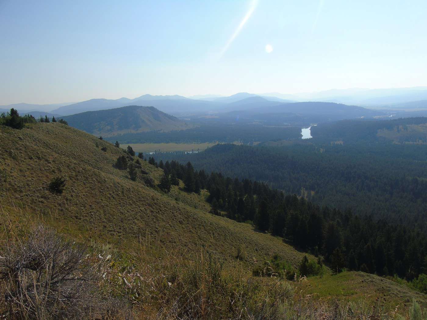
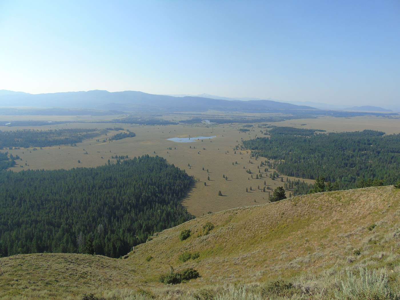
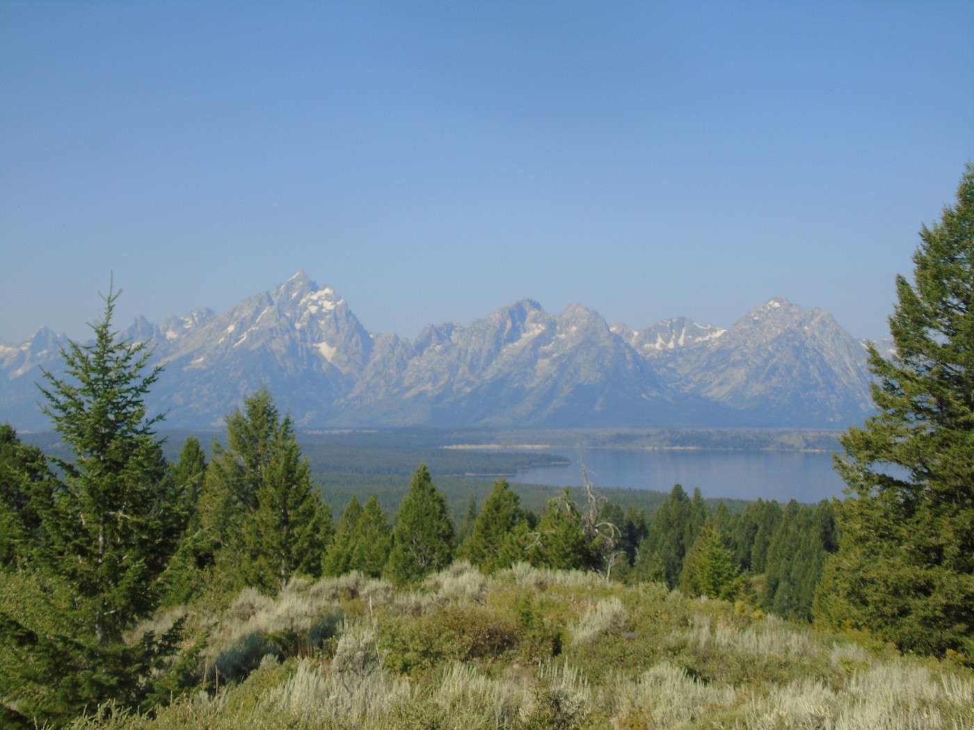
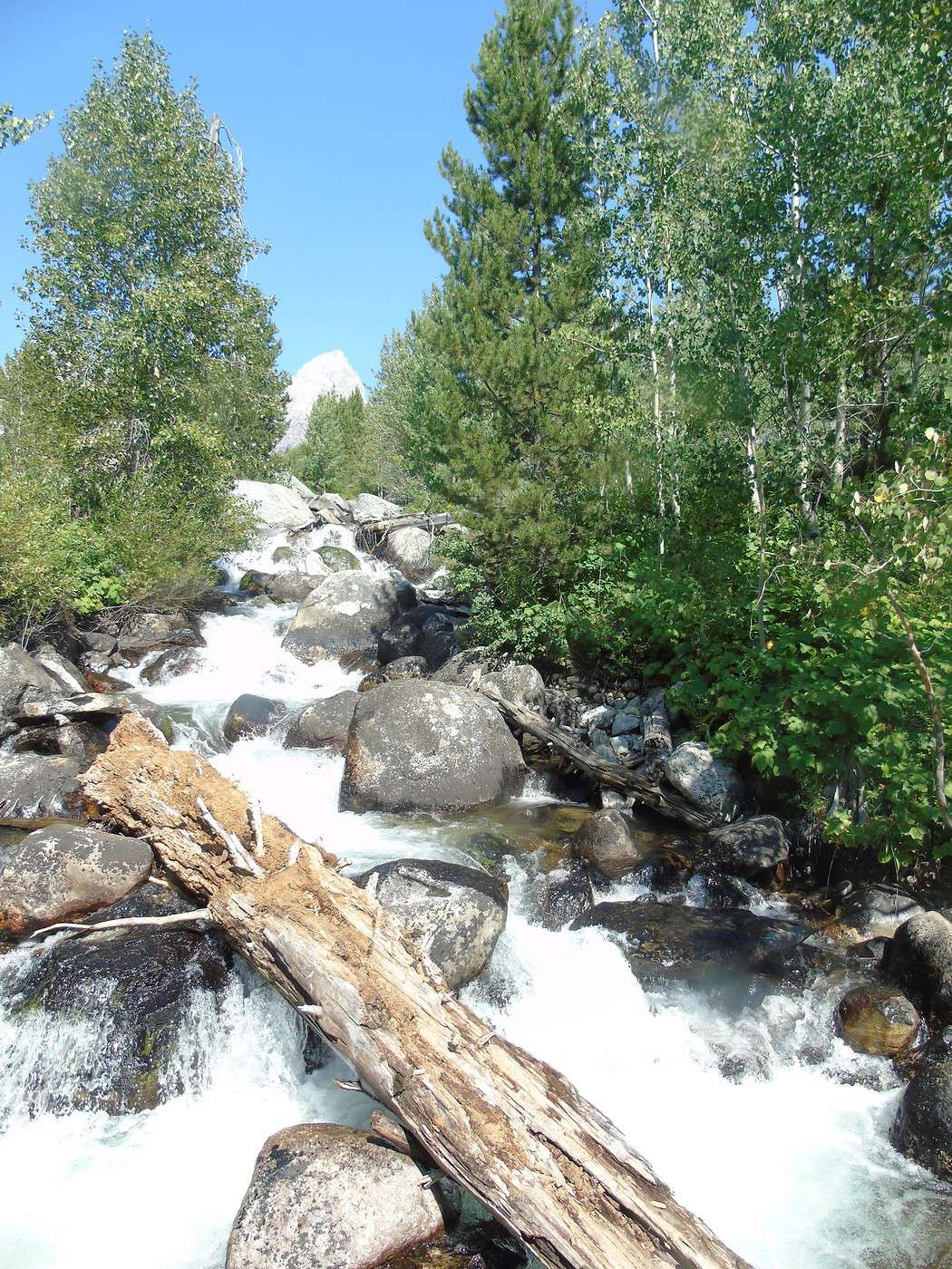
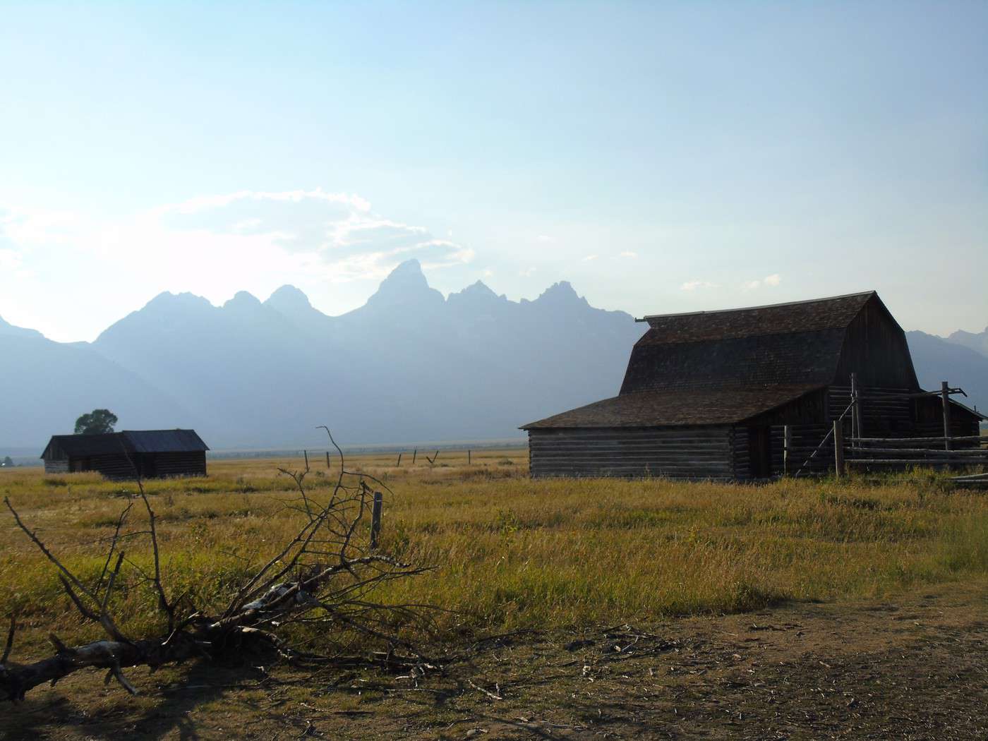
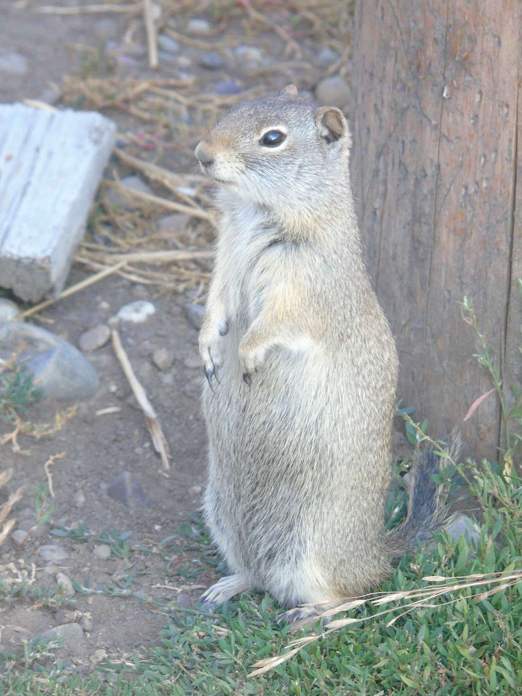
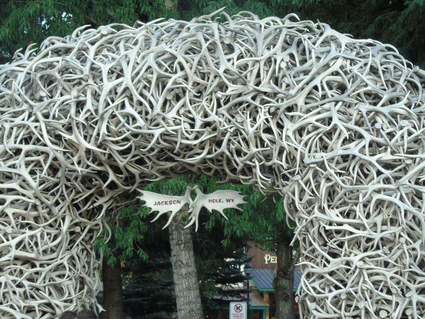
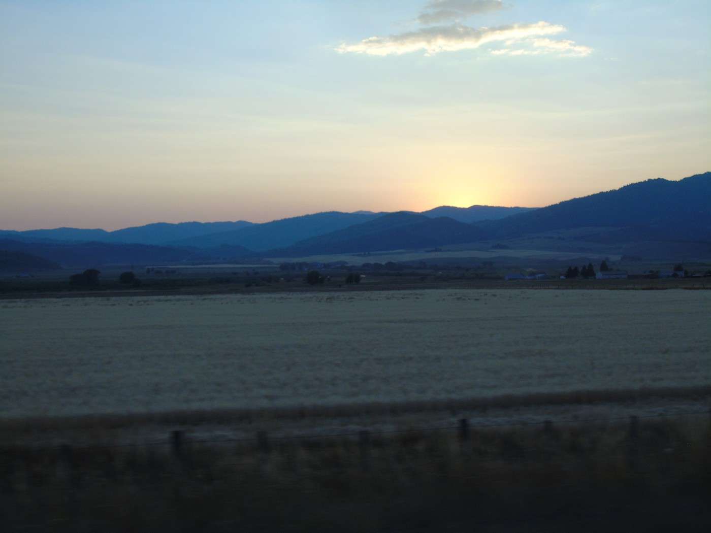
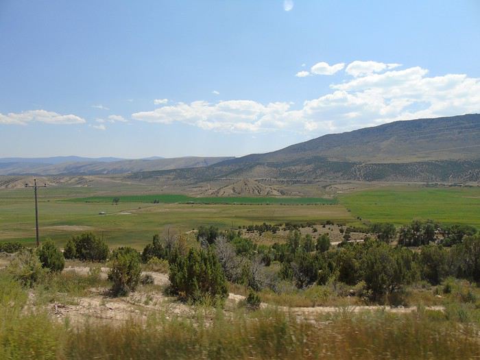
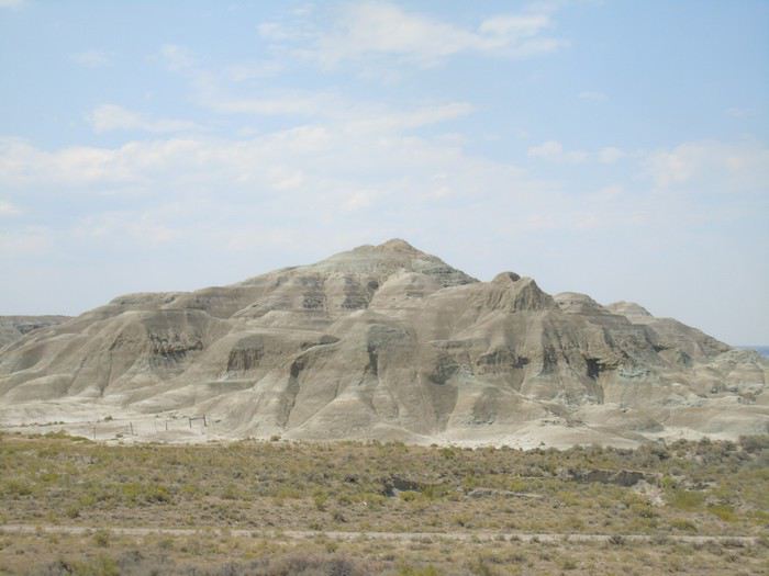
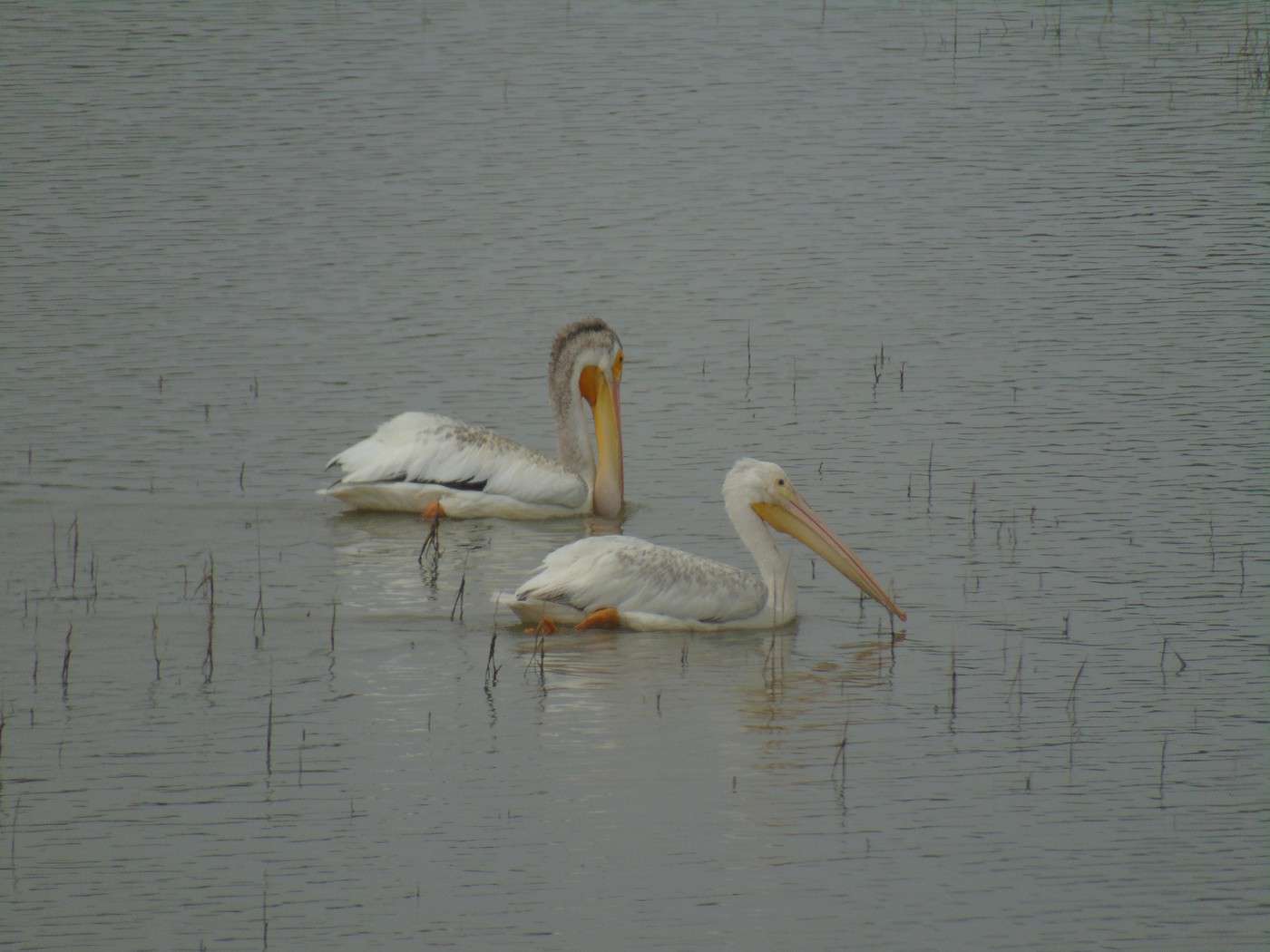
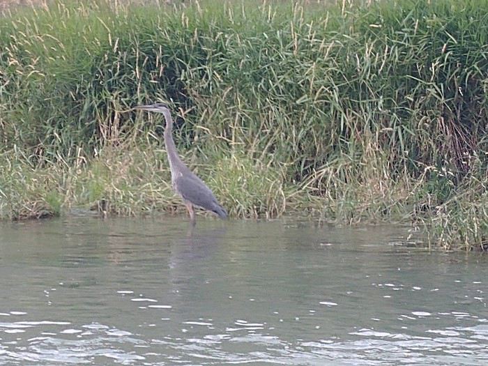
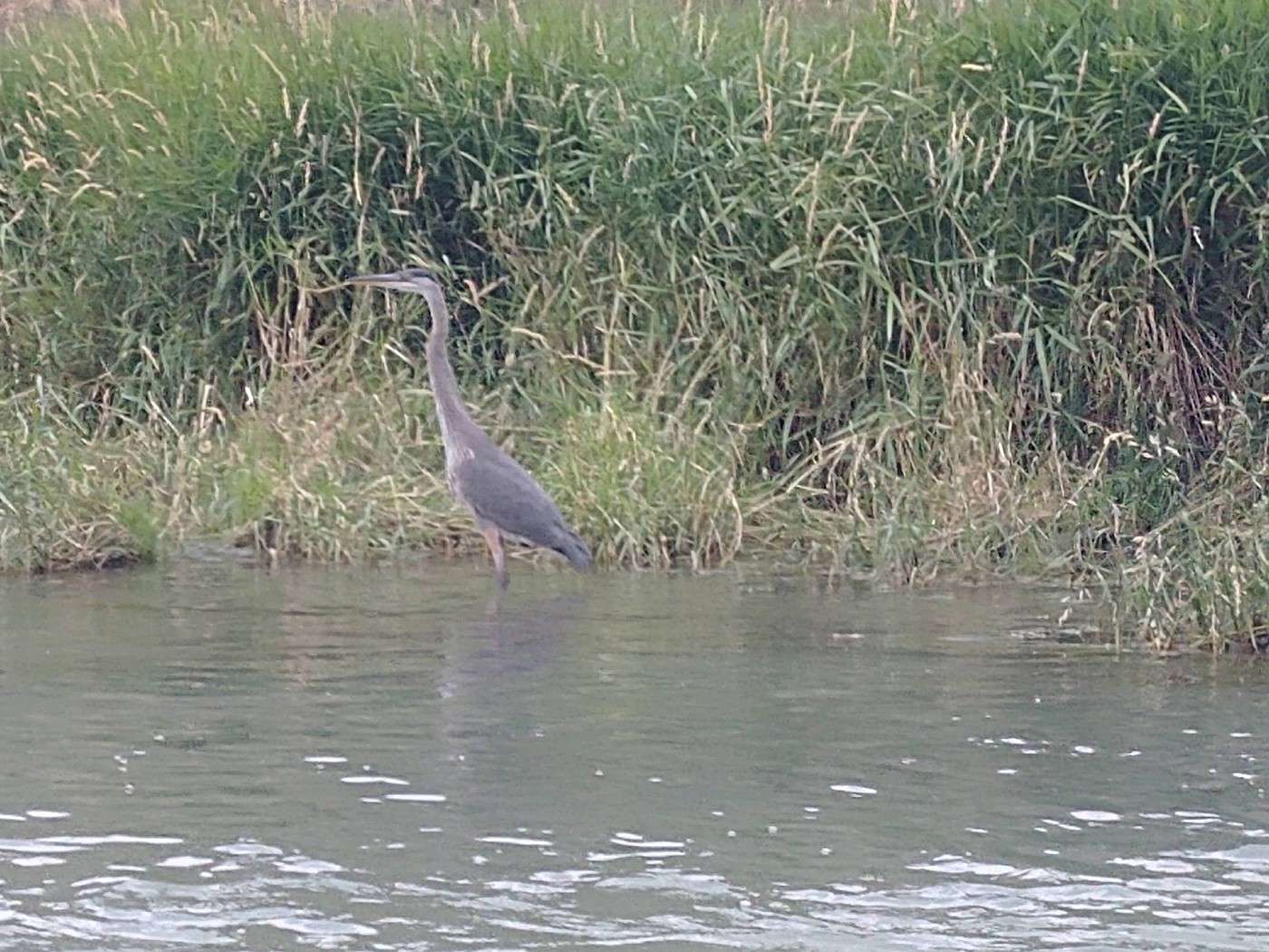
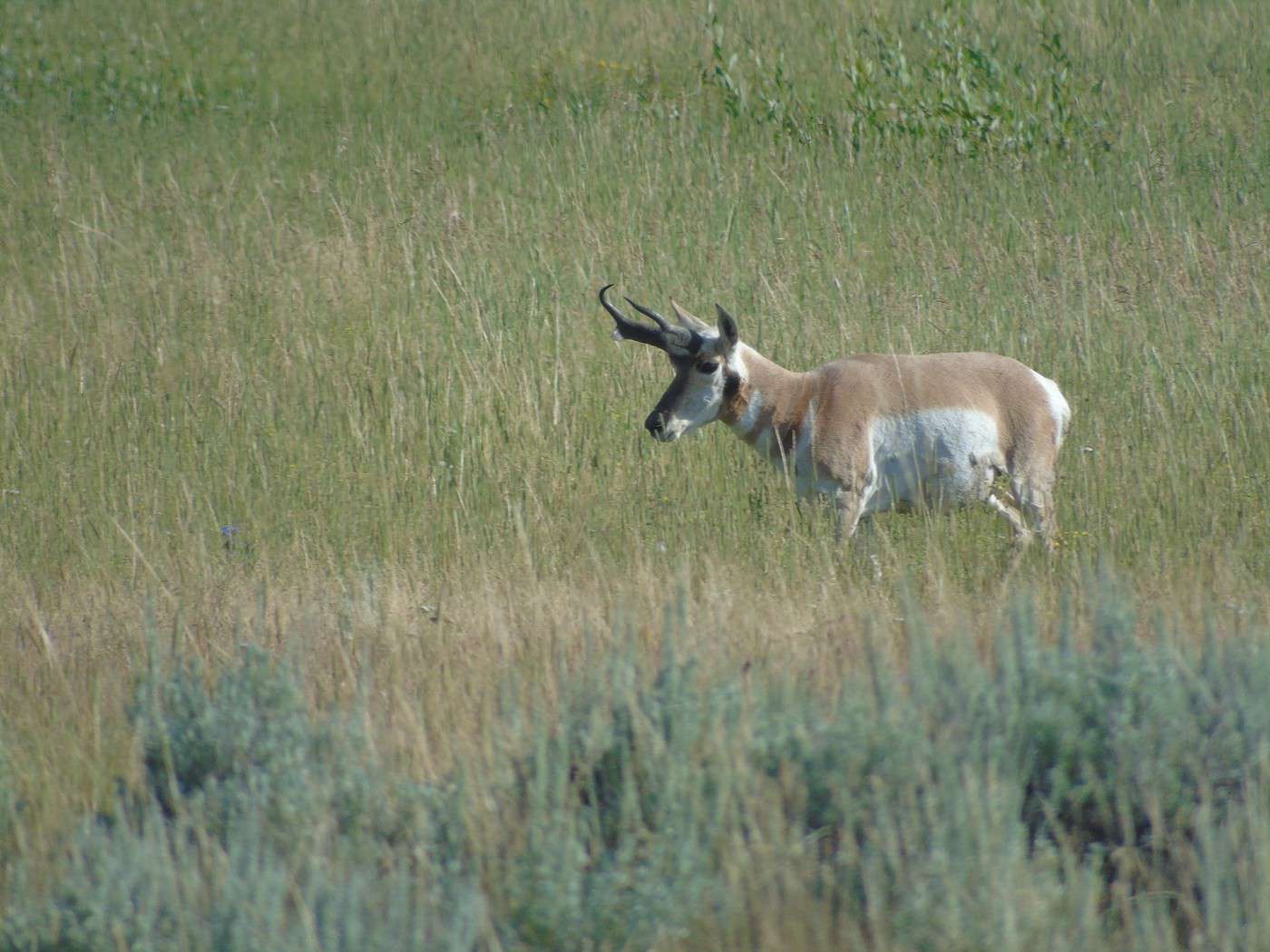
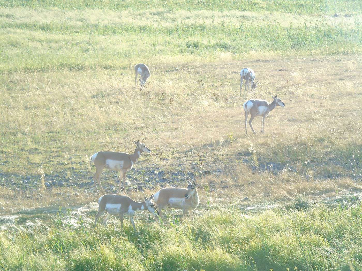
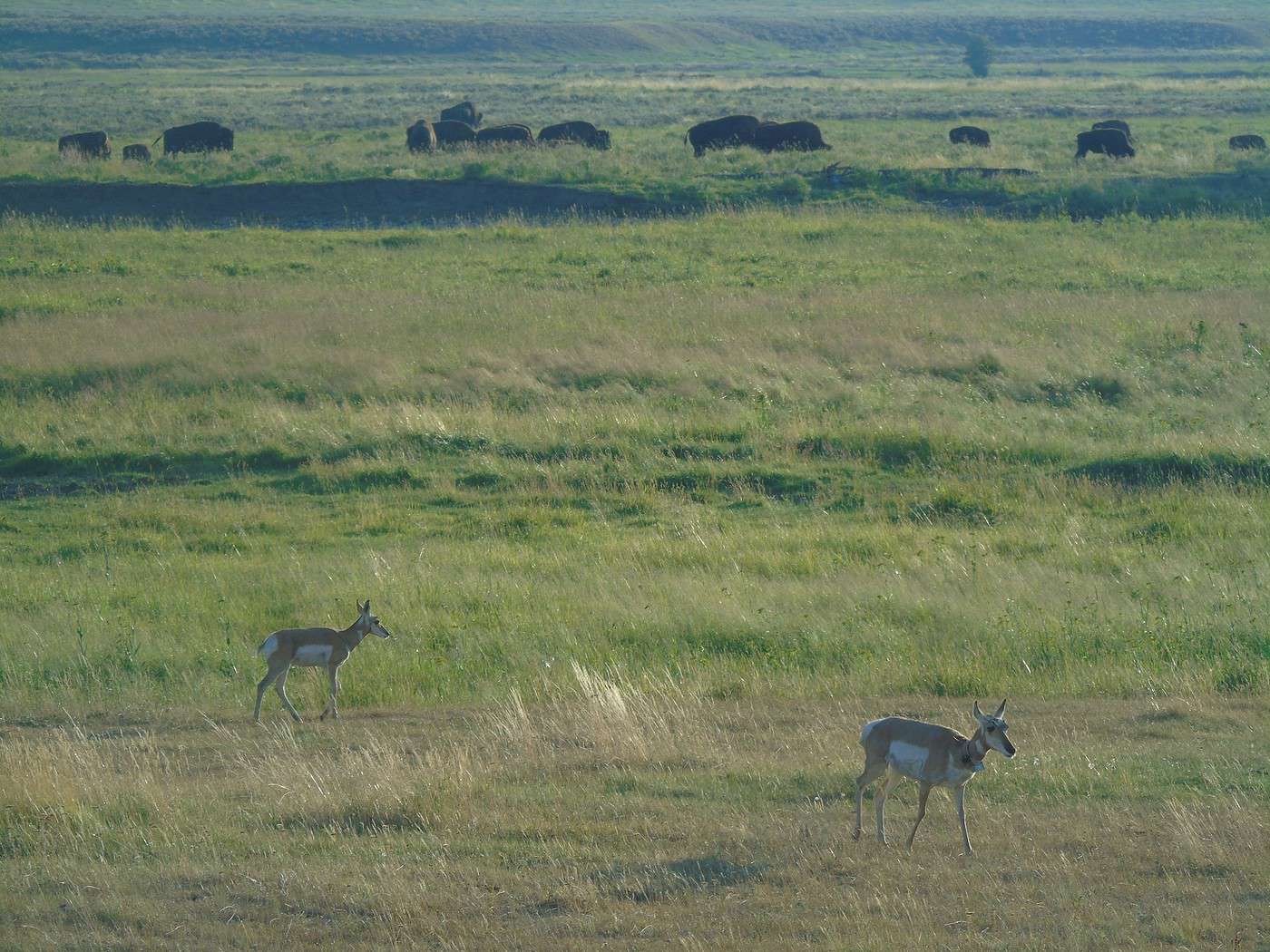
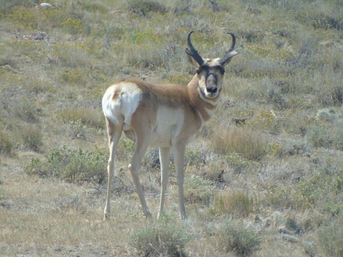
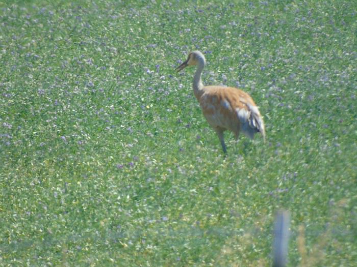
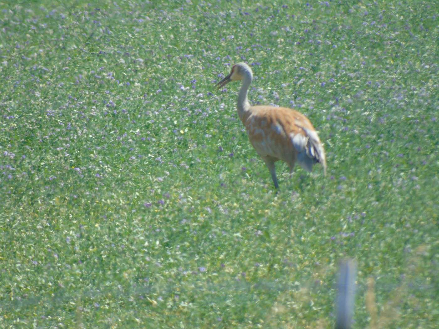
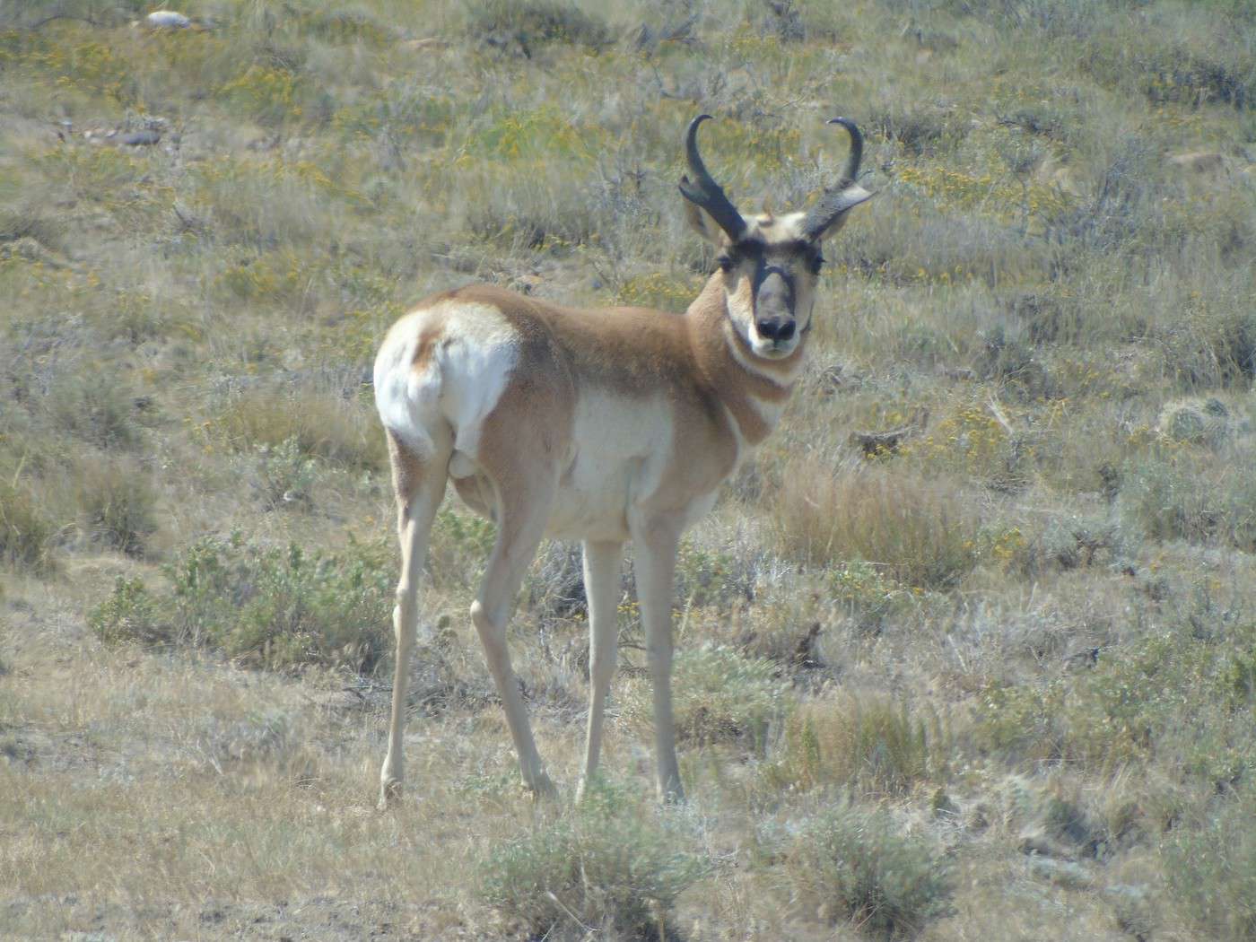
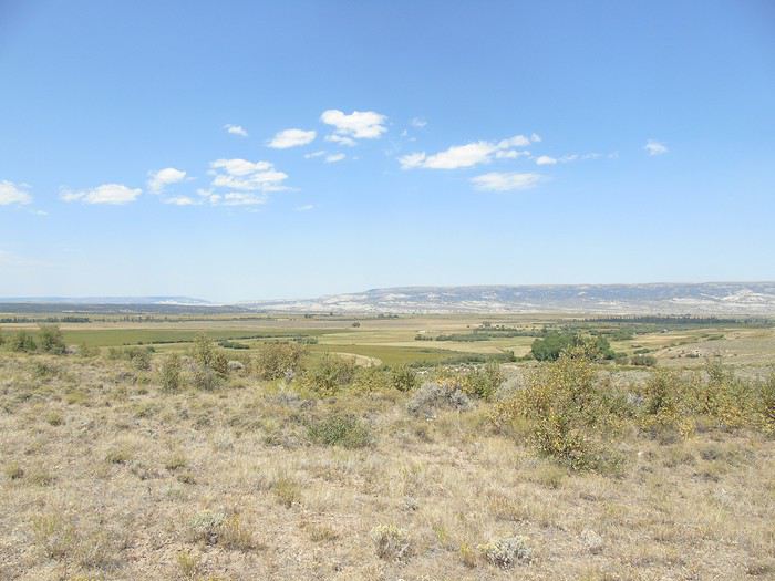 We barely saw any cars and our last antelopes, plus some wading birds (herons?).
 We stopped in a village where a rodeo was getting ready, but it hadn’t started yet, and we couldn’t afford the delay. Too bad—we only had time to admire the horses.
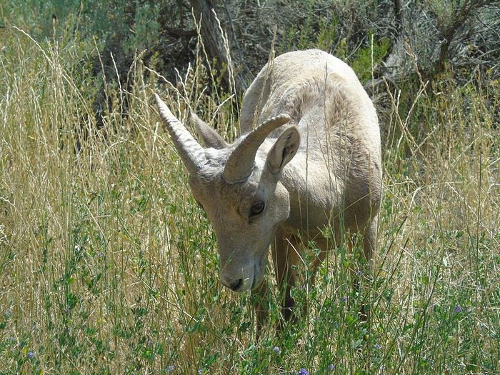
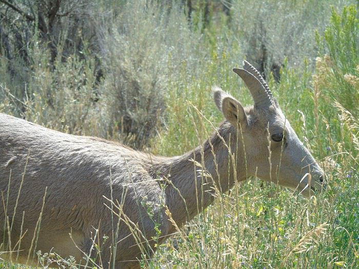
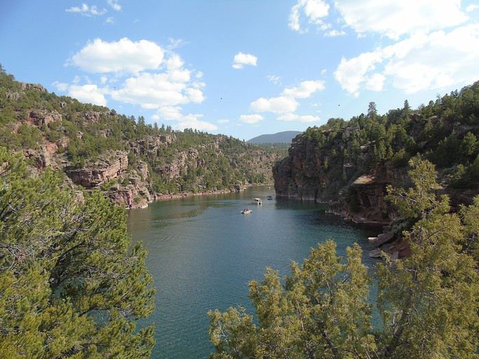
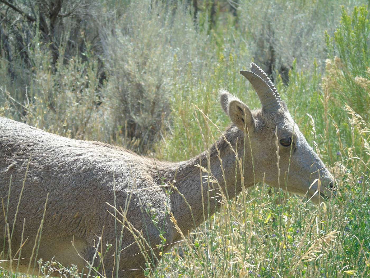
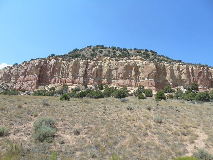 We turned onto the Sheep Creek Loop and came across a herd of bighorn sheep. A really scenic road winding through red rocks.
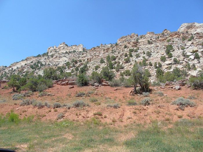
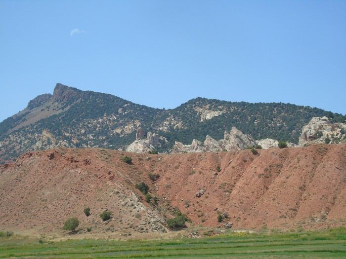
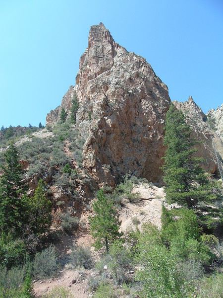
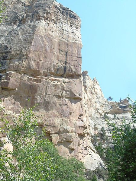
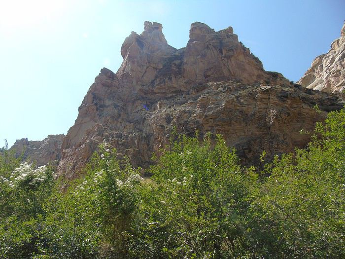 We stopped at the Red Canyon Visitor Center, which offered great views of the canyon.
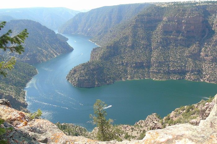
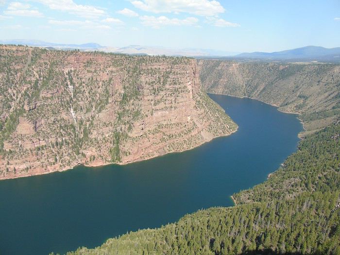 We decided to push on to the dam—what’s a few more miles at this point? Well, we could’ve skipped it.
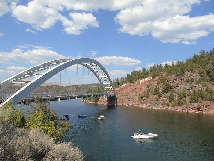
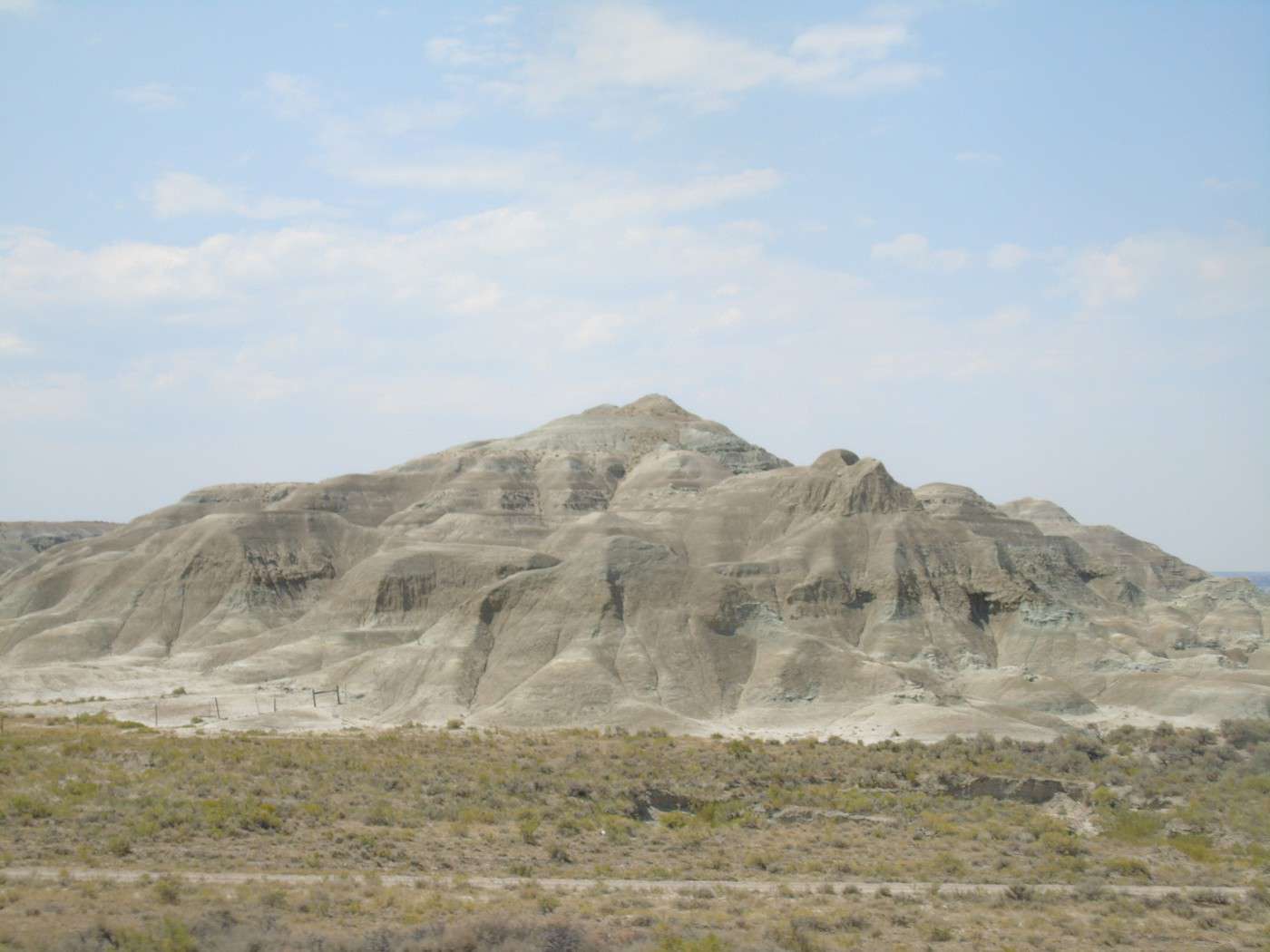
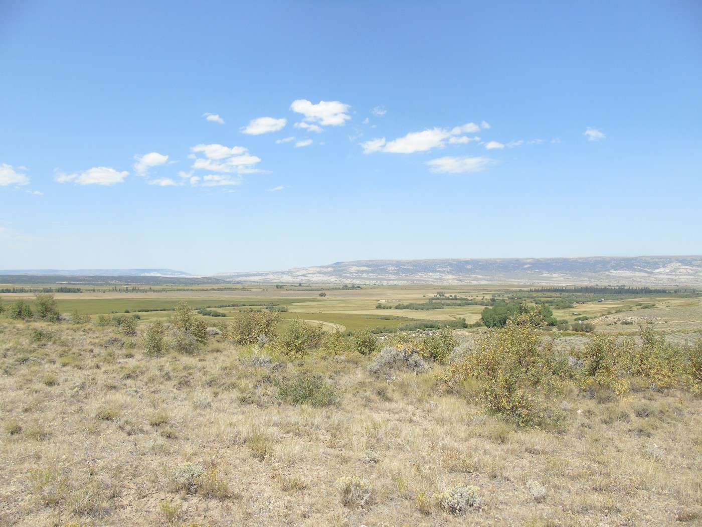
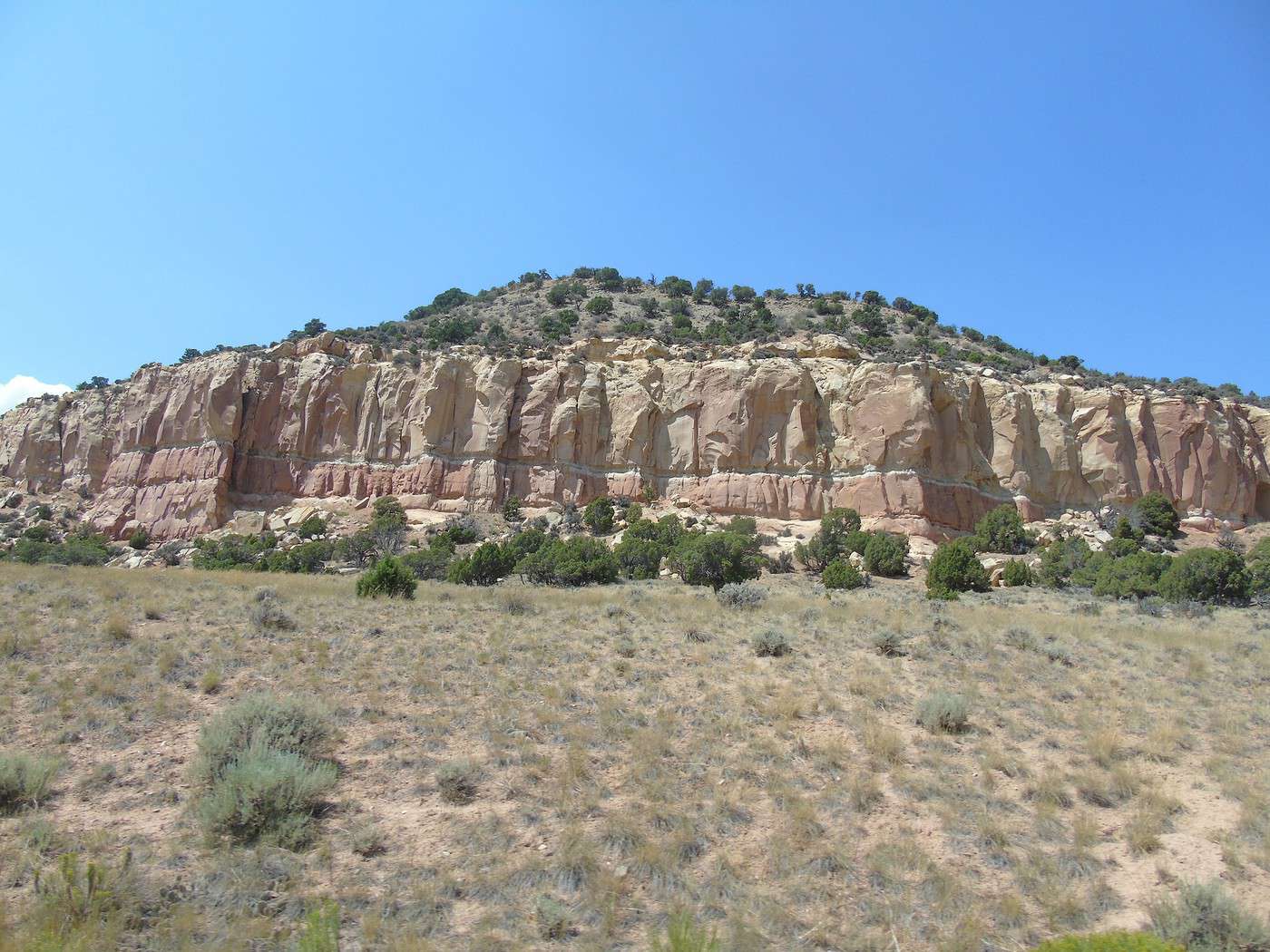
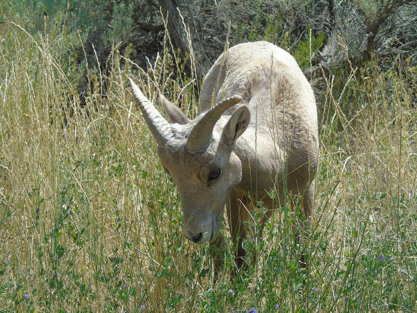
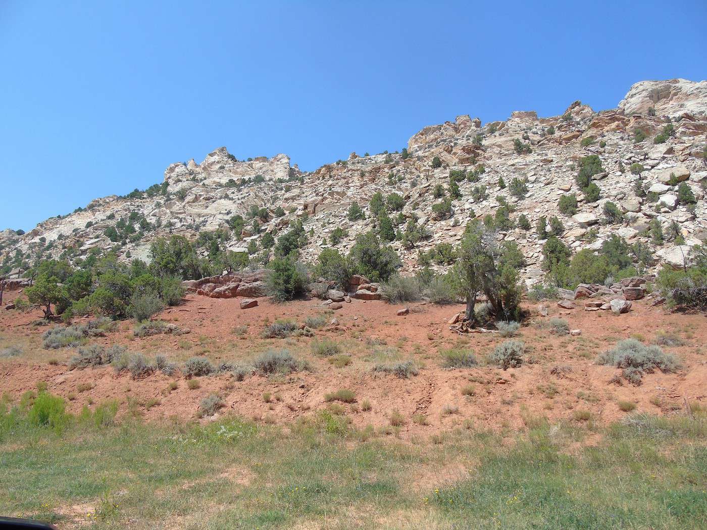
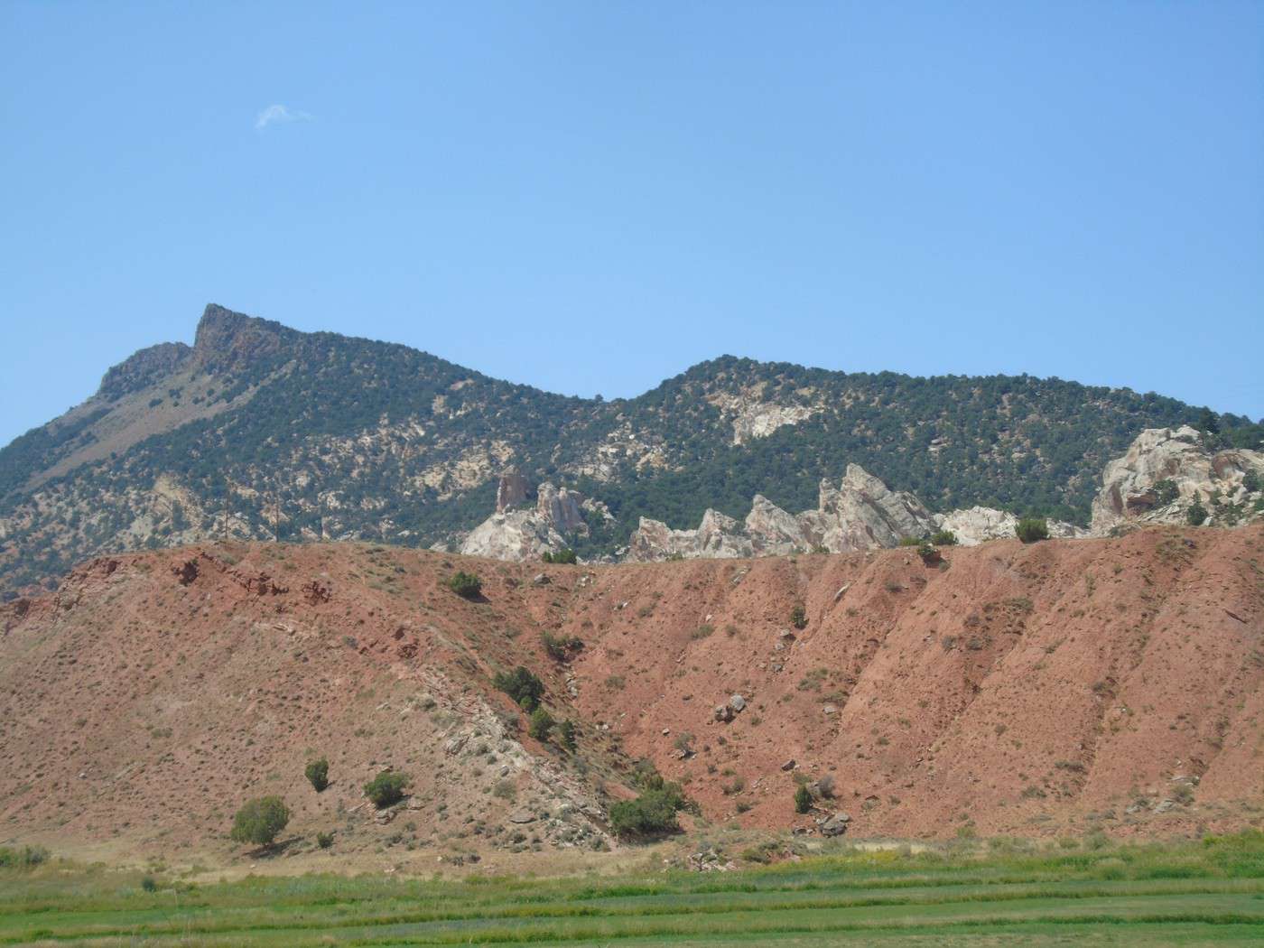
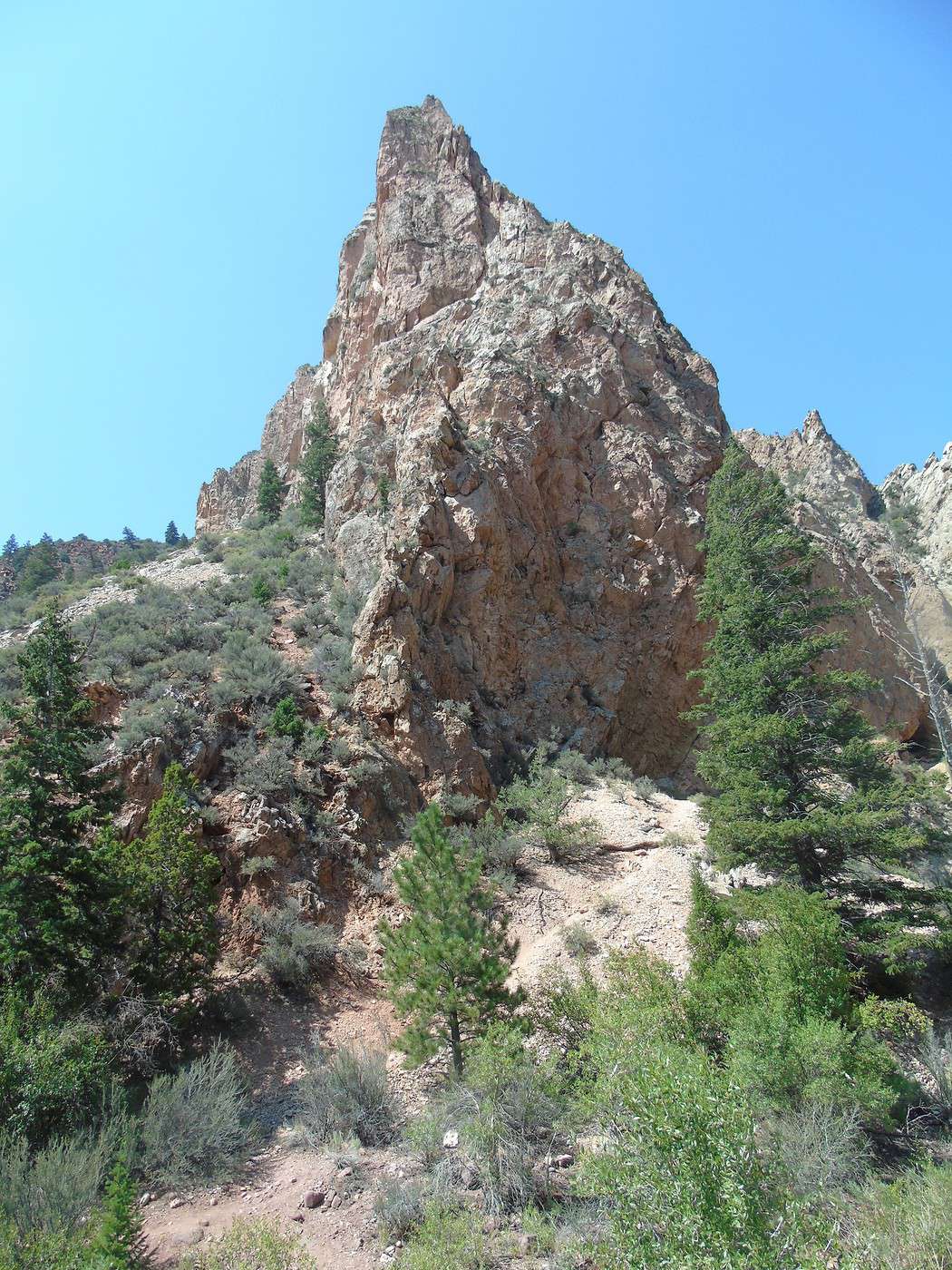
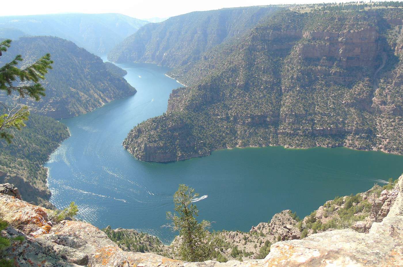
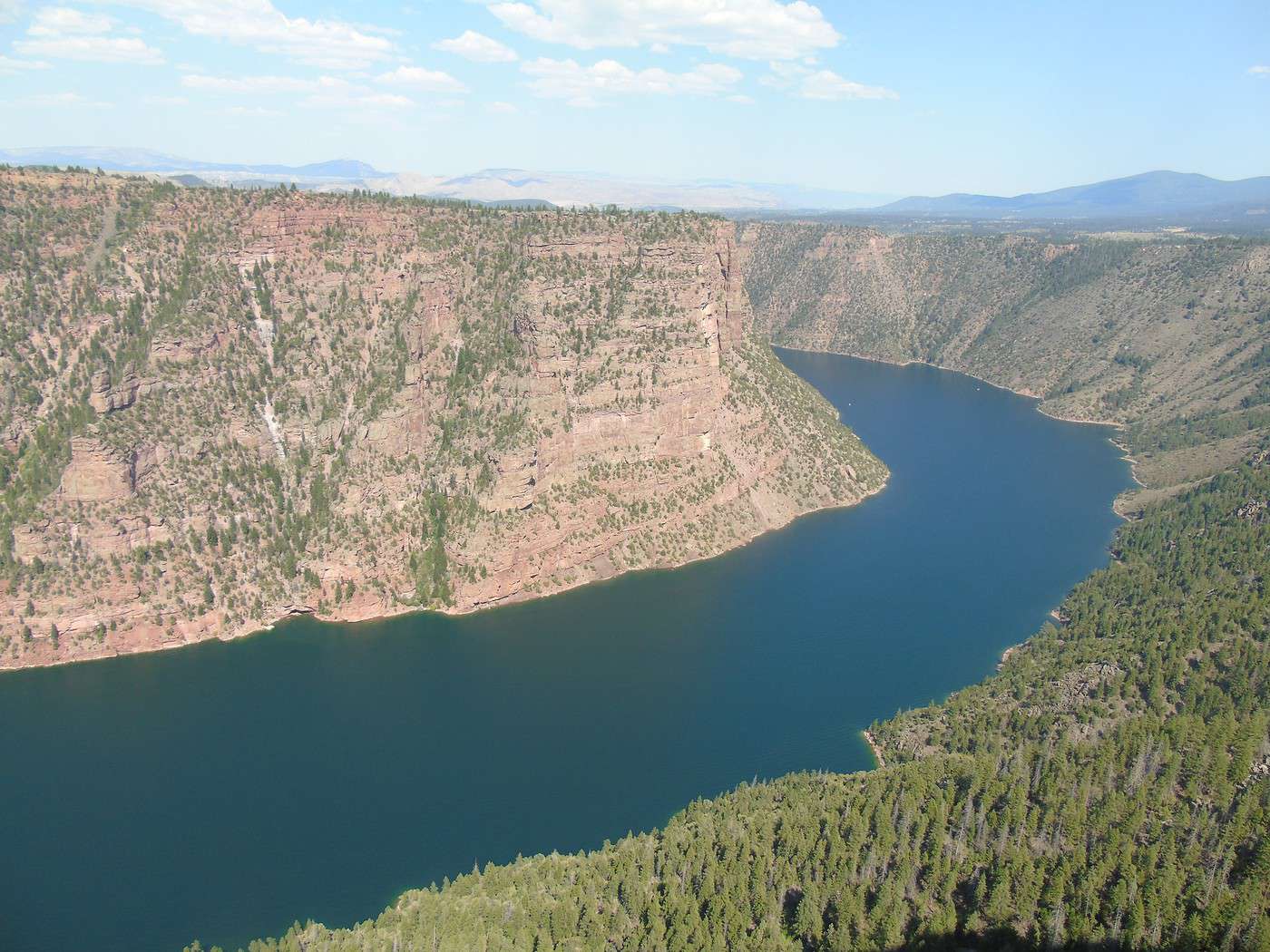
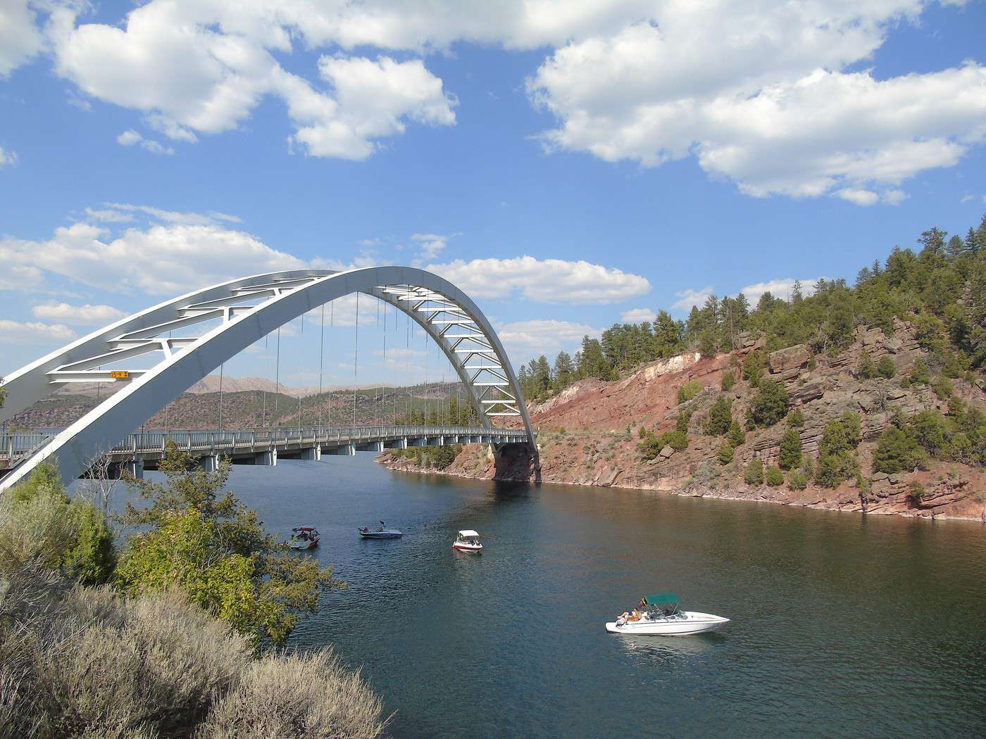
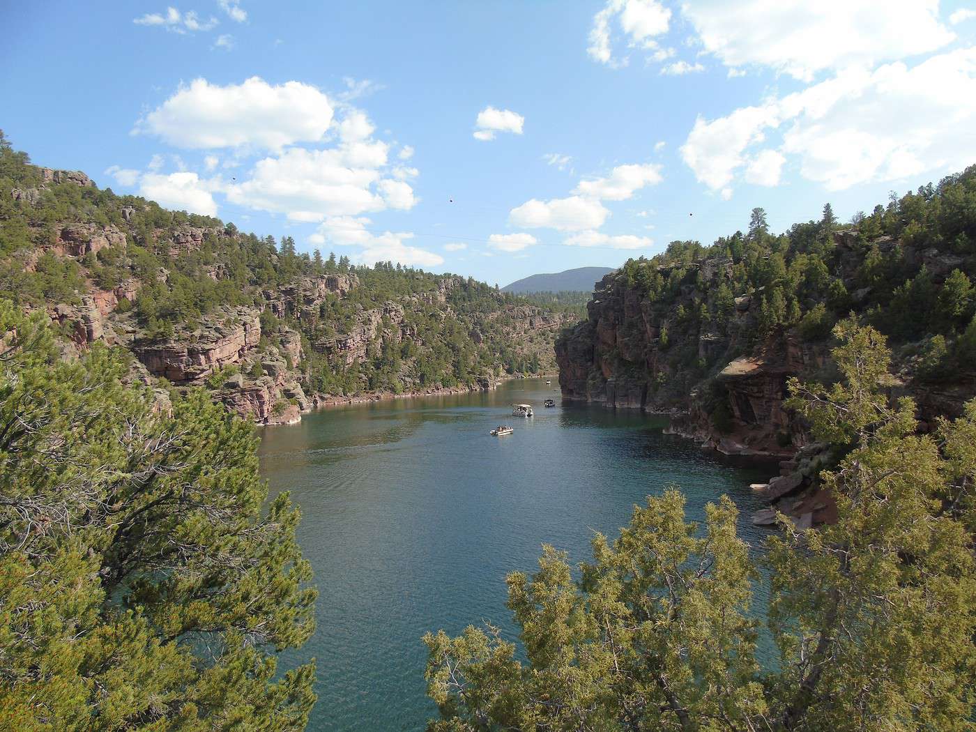
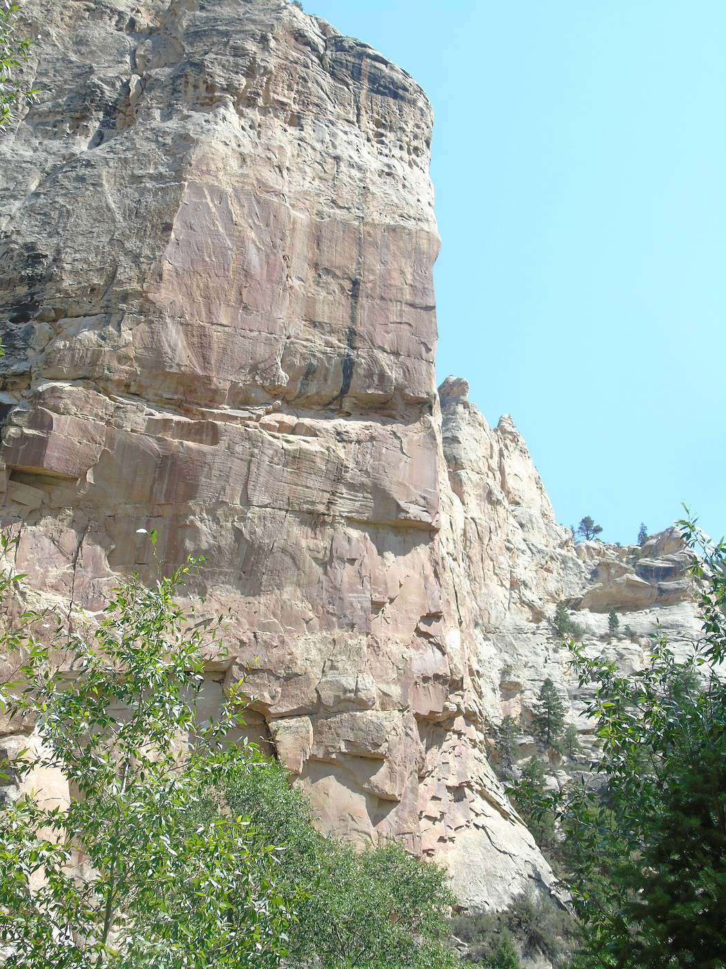
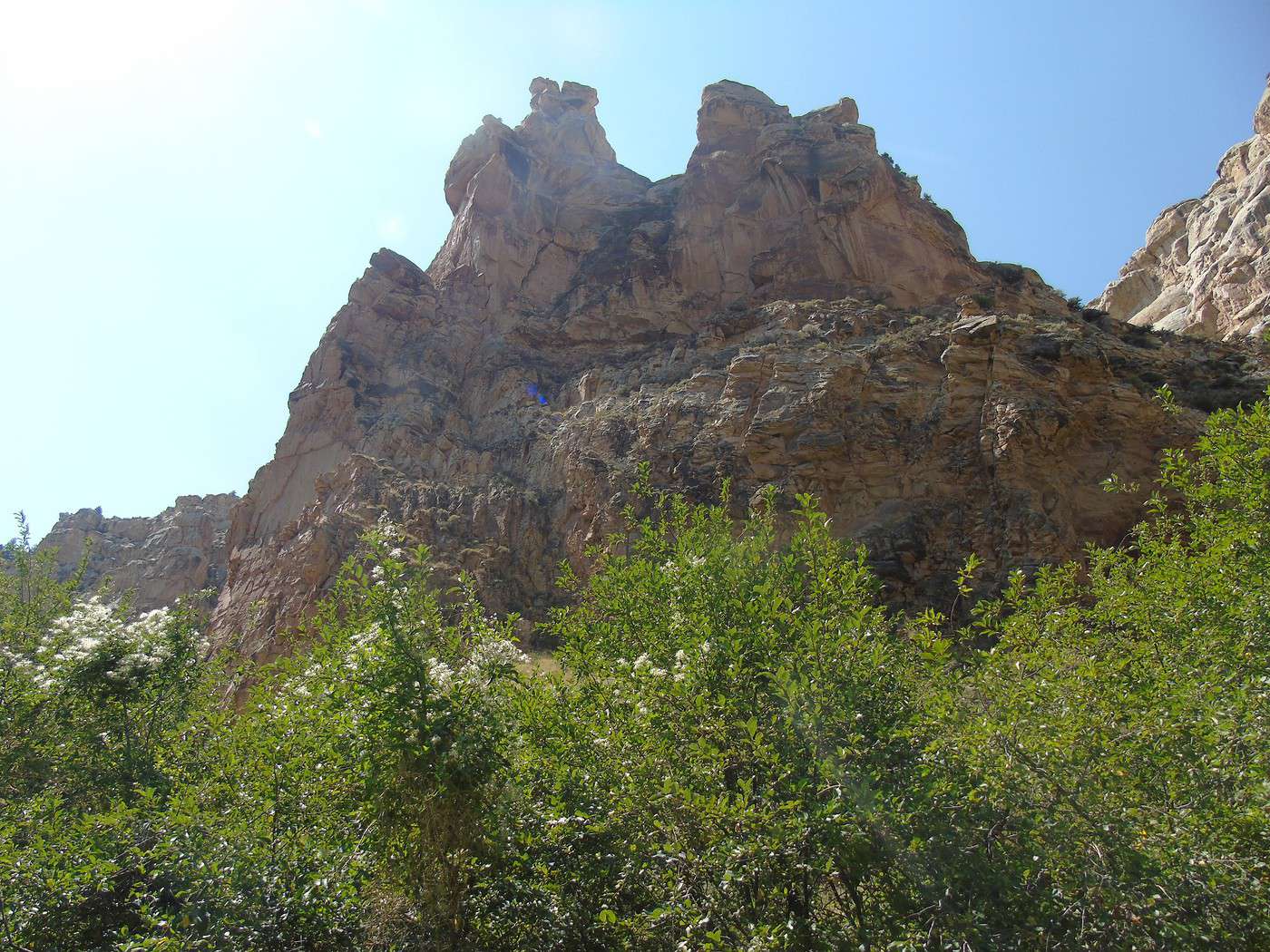
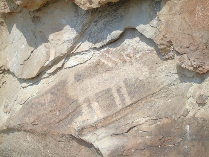
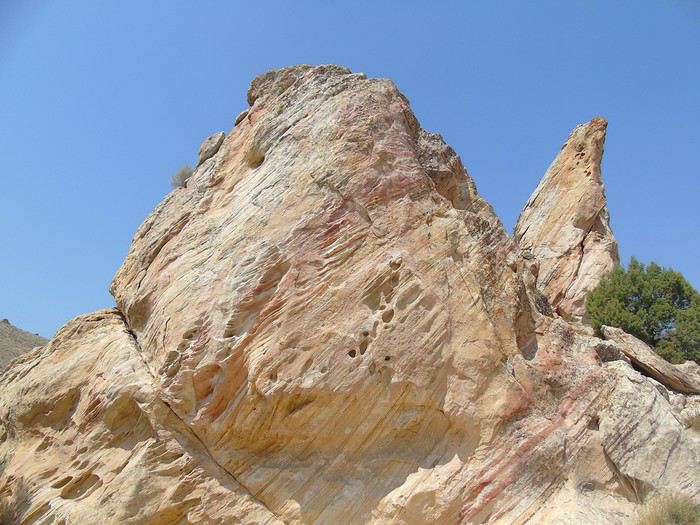
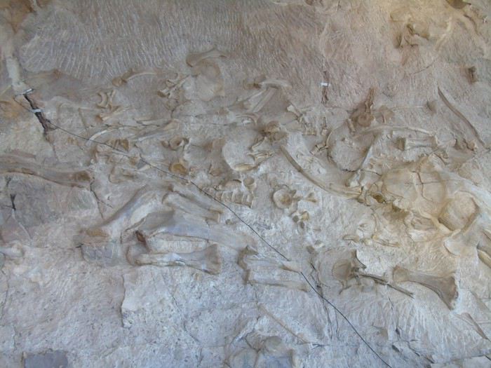
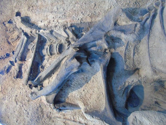
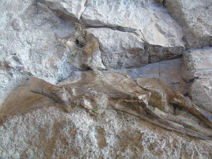
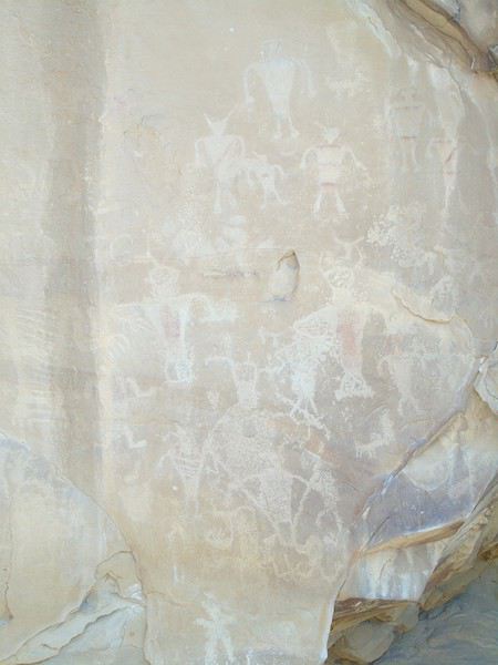
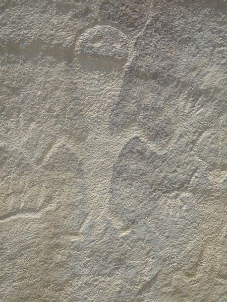
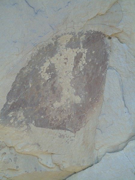
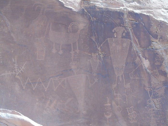
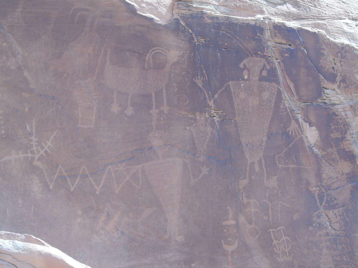
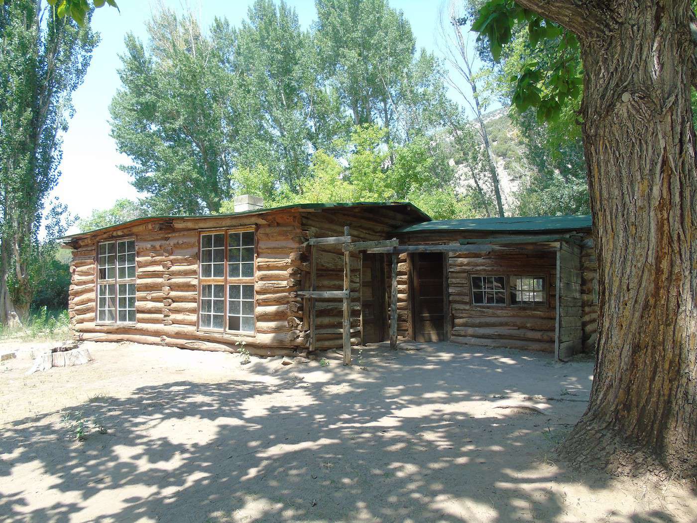
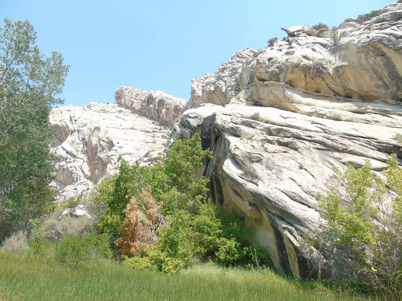
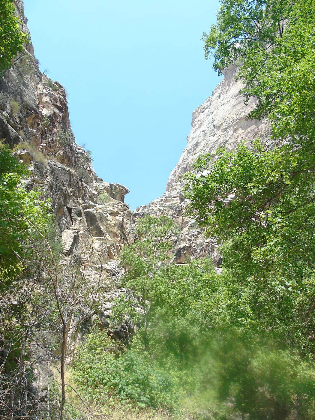
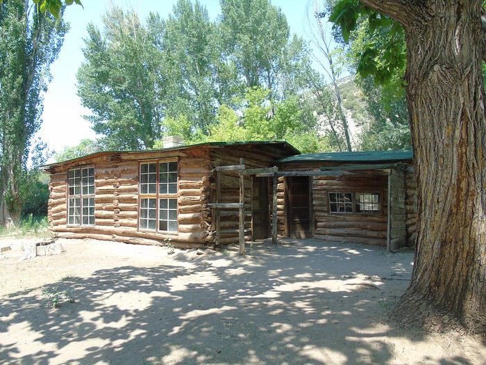 It’s really nice, and we’re alone. We decide to follow the trails leading to canyons and start with the Hog Canyon Trail (2.5 km round trip, easy). We come across a snake slithering away at full speed. It’s way too hot—we finish the walk red as tomatoes. It’s not even that long, but we feel like we’ve drunk a ton. Back to the car, luckily in the shade, and no one wants to do the second walk, even though it’s shorter.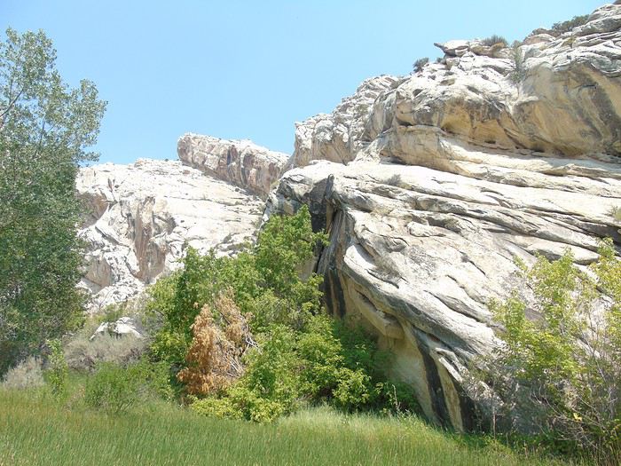
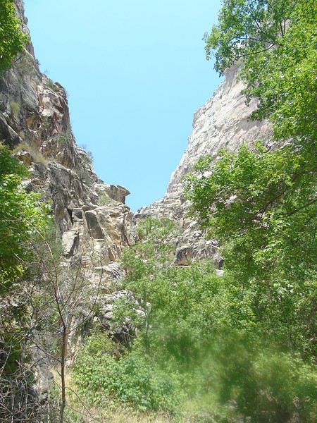
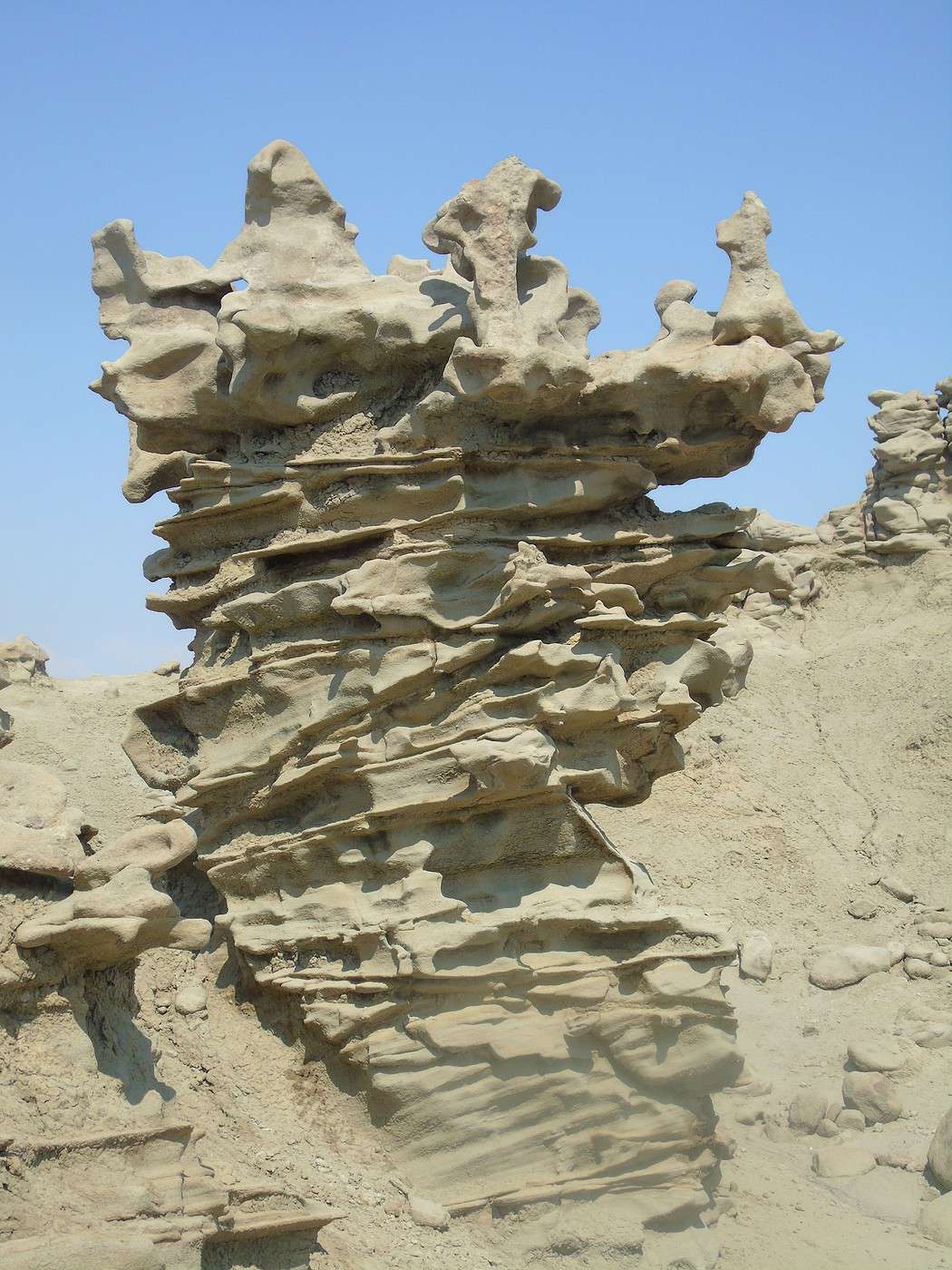
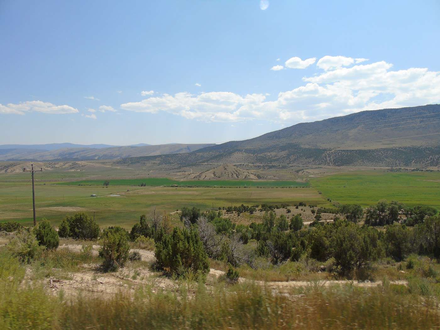
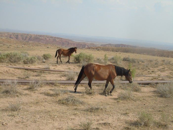
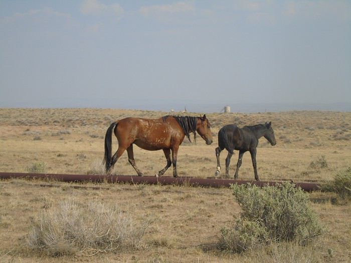
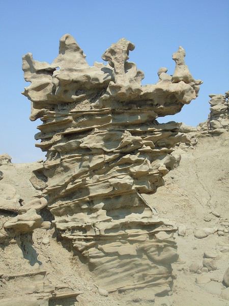
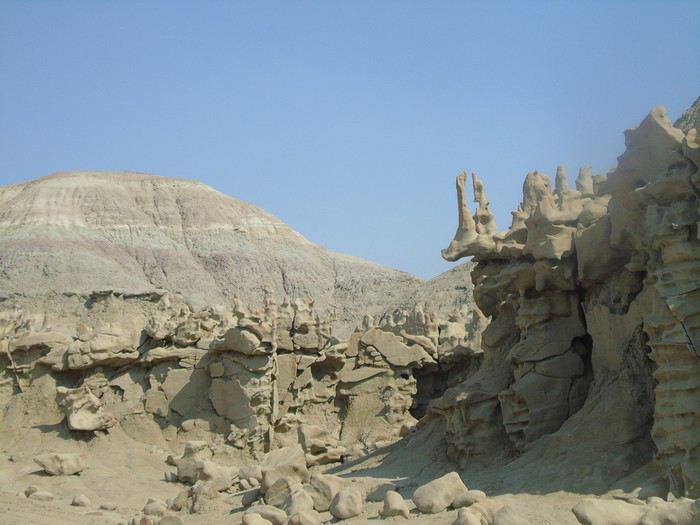
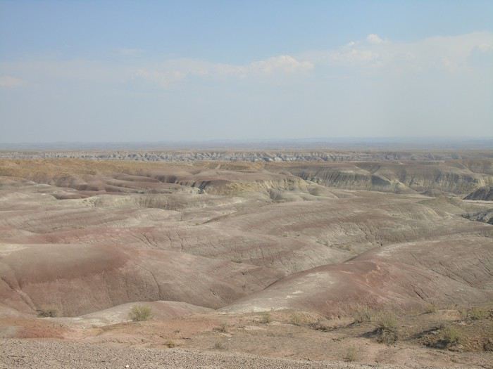 The GPS has us leave the road pretty quickly, and we’re on dirt tracks (very drivable) going up and down hills in a desert landscape full of oil fields. We obediently follow the GPS, hoping it’ll take us to the right place!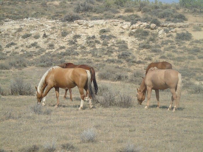
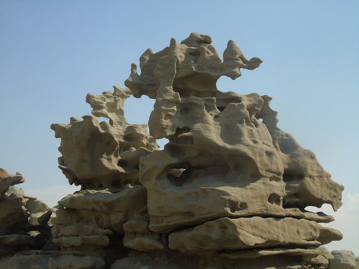
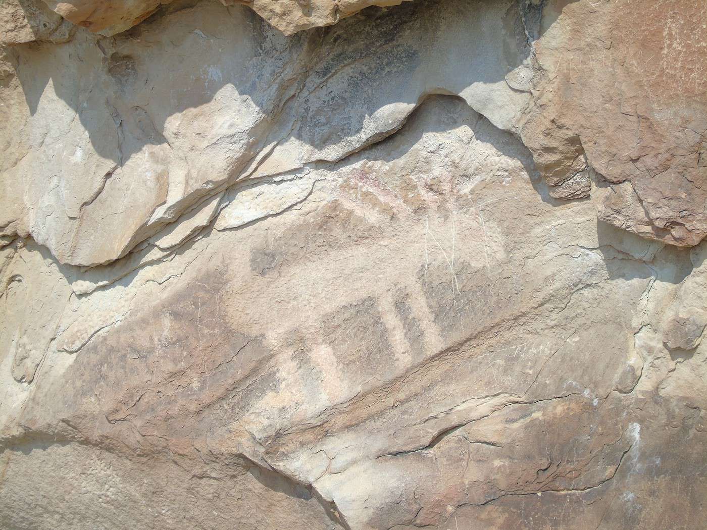
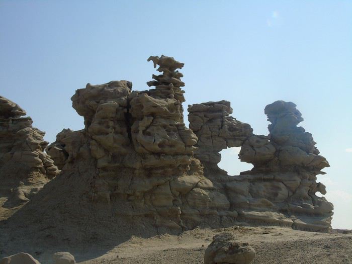 Another car arrives—more French people! We chat for a bit and then head back to Vernal.