Posts by RIC73
4 results on this page.
More options
Many results are in French, the community’s main language. English translations are added over time.
Search results
Great Divide Moutain Bike Route
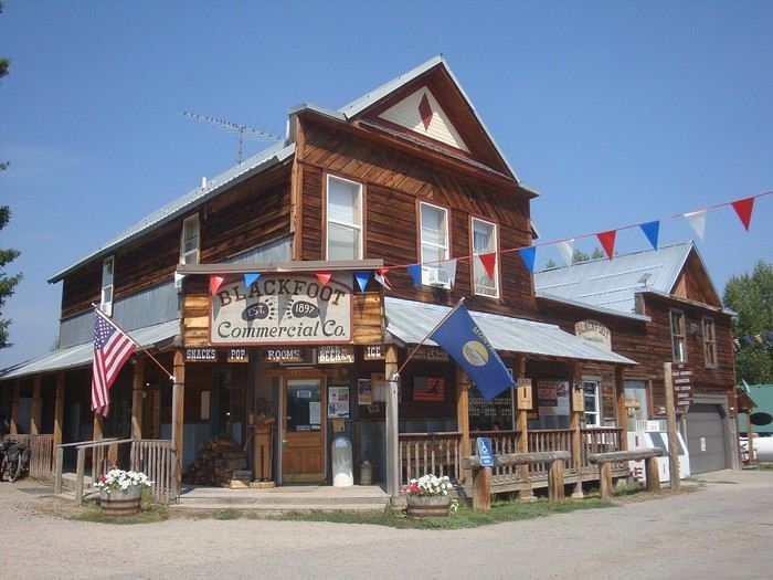
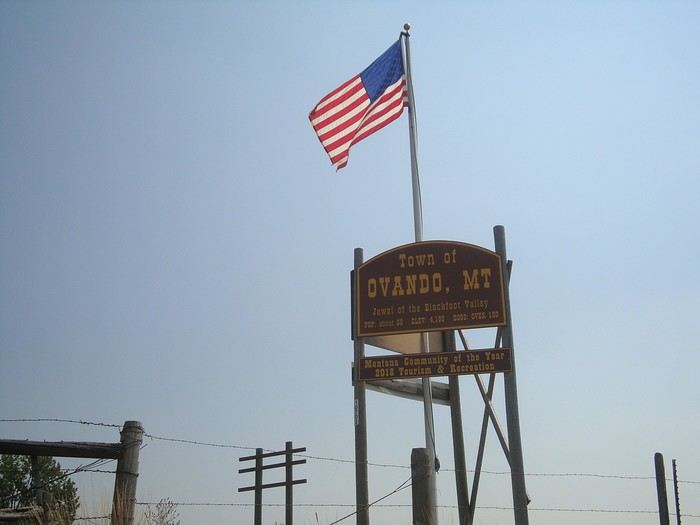 Passage à Ovando, très joli village typique. On se retrouve comme dans des décors de film parfois...
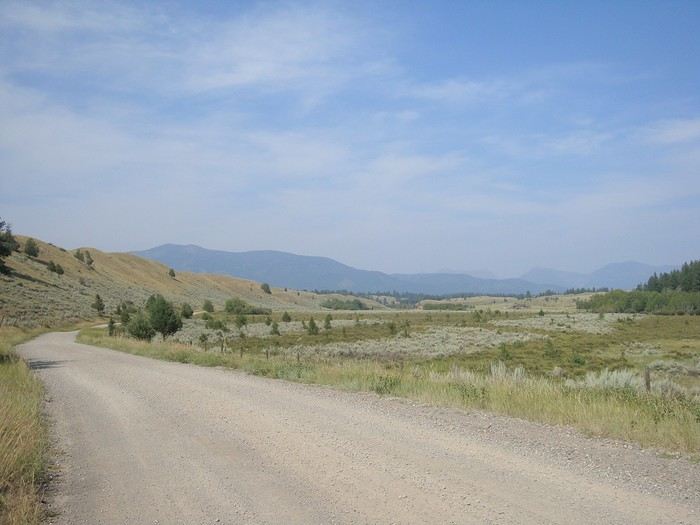
Plaines moutonnées, troupeaux de vaches noires, chevaux aux immenses enclos, prairies arrosées pour faire du foin; le paysage a changé.
 Ours noir ou grizzly ? Nous trouvons des traces fraîches sur notre passage mais pas d'ours visible pour le moment. Eux nous ont certainement repérés...
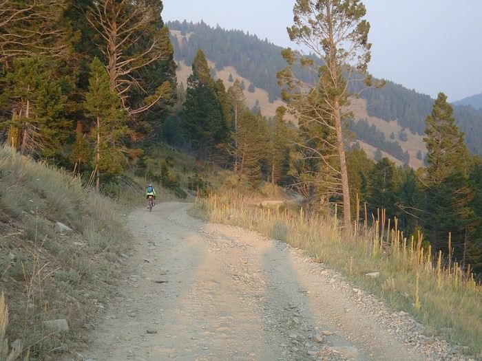 Quatre kilomètres de montée terrible à pousser nos vélos dans les pierres nous ont mené à un passage non loin du Stemple Pass qui nous a permis de basculer dans une très belle et longue descente dans le soleil couchant...
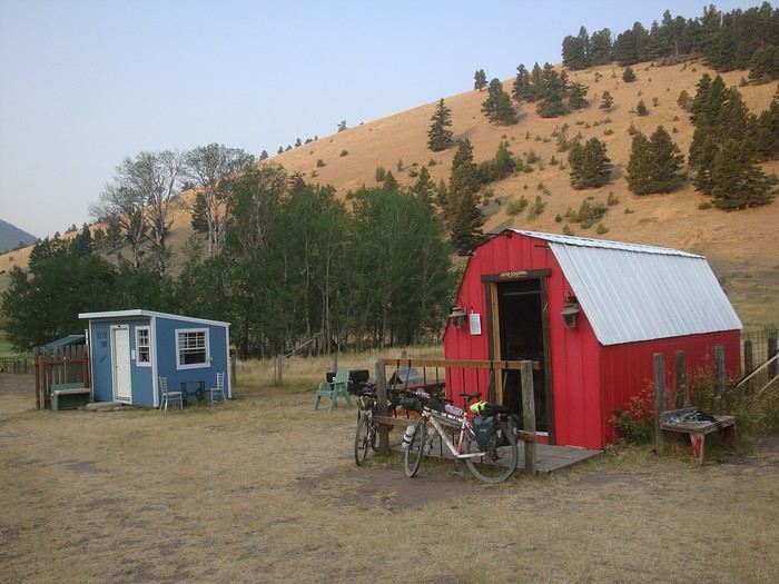 ...pour arriver au Llama Ranch. Les propriétaires mettent des cabanes aménagées confortablement à disposition des cyclistes et randonneurs de passage. Nous n'avons pas rencontrés nos hôtes, ils étaient absents. Ils ne veulent pas d'argent mais souhaitent que chaque passant agisse dans ses futures rencontres pour faire rayonner cette générosité.
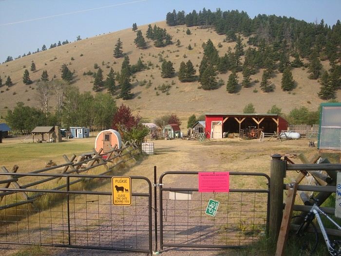 Une nuit en dur de temps en temps, ça fait du bien !
Beaucoup de gentillesse sur le chemin: des glacières remplies de bouteilles d'eau, parfois des biscuits... Ici ça respire le respect, la convivialité. Chacun respecte les affaires des autres, personne ne touche, pas besoin de mettre tout sous clé.
Les automobilistes saluent et s'arrêtent parfois pour voir si tout va bien. Des passants nous souhaitent bon voyage, "God bless you".
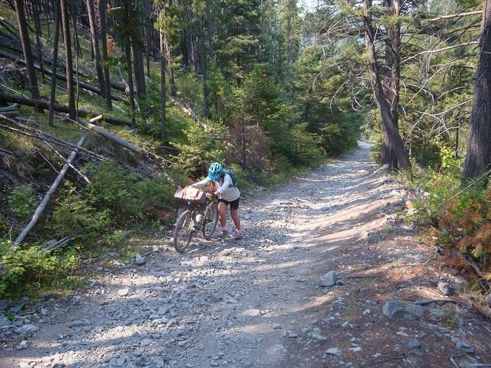 Encore un passage bien compliqué d'environ quatre kilomètres avant le Priest Pass pour descendre ensuite sur Helena.
Helena est la capitale du Montana. Avec Butte, ce sont les deux villes importantes de toute la GDMBR.
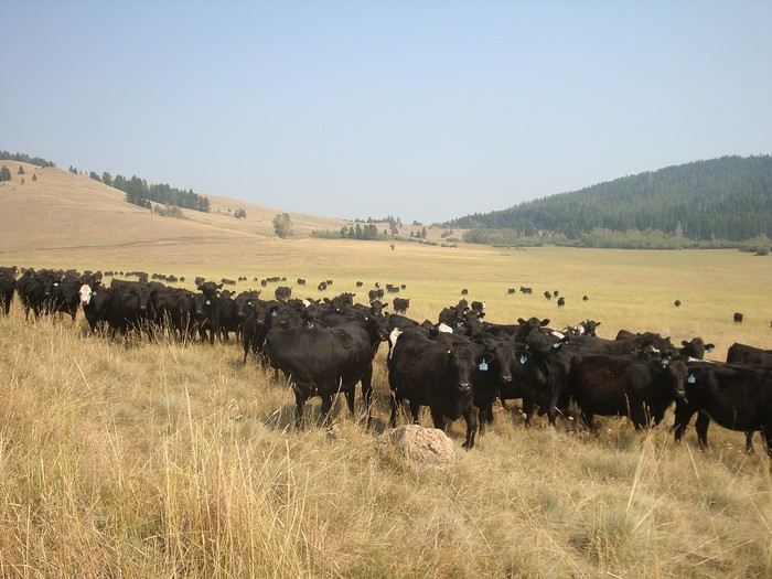 Dans le Montana, peu peuplé, les seules foules que nous rencontrons sont ces troupeaux de vaches noires !
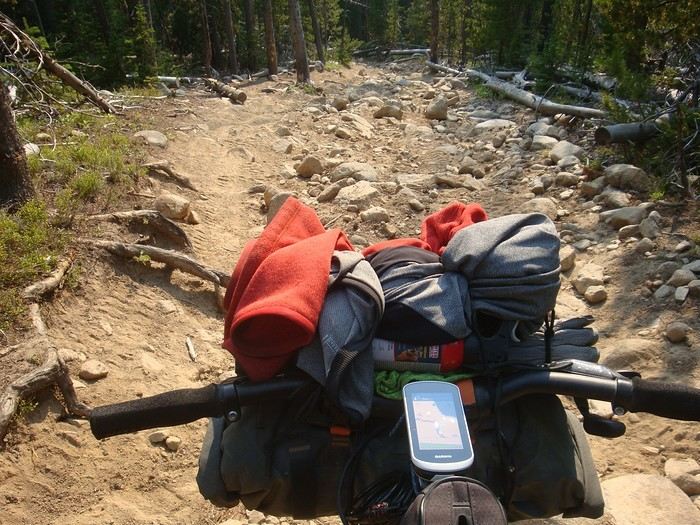 Et encore un passage bien caillouteux en descente, un vrai plaisir... à pied !!
Précédé par une longue montée de sable, d'ornières, de troncs à franchir: hike-a-bike.
...
Great Divide Mountain Bike Route
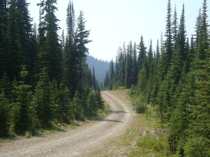 And we're off...
Thanks for your messages!
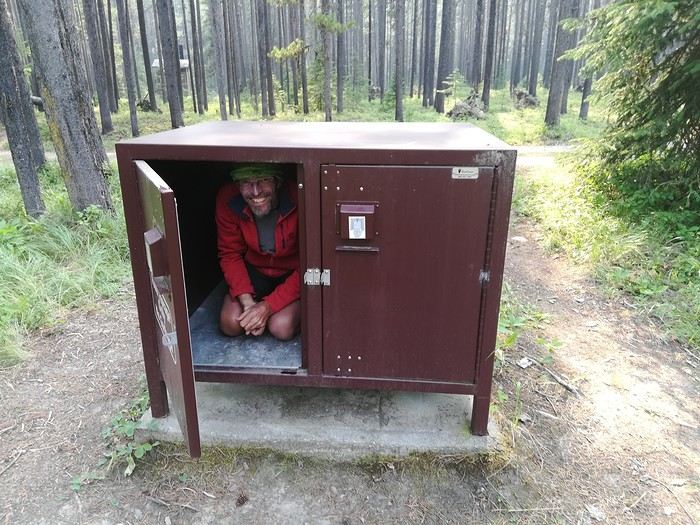 The campgrounds are unsupervised campsites, usually located near water (lake, stream, river, spring) which you need to filter. Each site often has a table, a spot for a campfire, and a "bear box" to protect food from those hungry bears; don’t keep anything scented in your tent for safety. There are dry toilets on the grounds.
Most campgrounds are free; some are paid (you slip your contribution in an envelope into a box at the site entrance). No reservations, first come, first served. The log cabin is open access on the same principle; it was mentioned in our guide. From Wigwam, we reached a very tough and wild pass, Galton Pass, after tackling the famous GDMBR section "the wall"—a very steep, narrow, slippery path full of roots where you have to lighten your bikes and carry them.
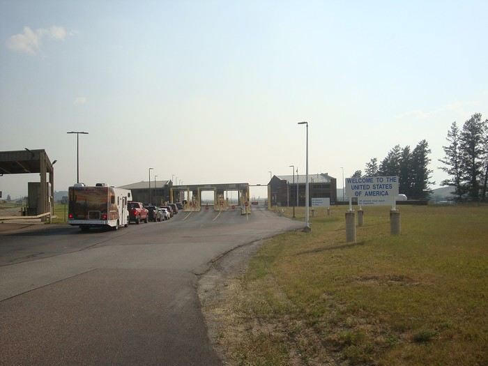 Entering the USA. We each had an ESTA ($40 per person); at the border, we each had to pay an additional $30.
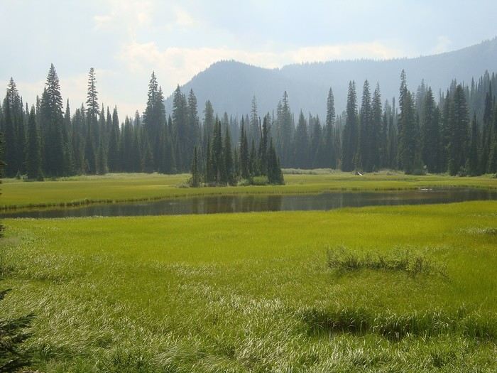 Near Red Meadow Lake. Start of the descent toward Whitefish.
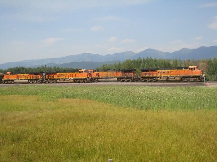 Freight trains run a lot in the USA, especially at night. We were surprised by their length and load: we saw one with eight locomotives spread at the front, middle, and back to pull 268 cars, each loaded with two stacked containers! We took the time to count them—we were that impressed.
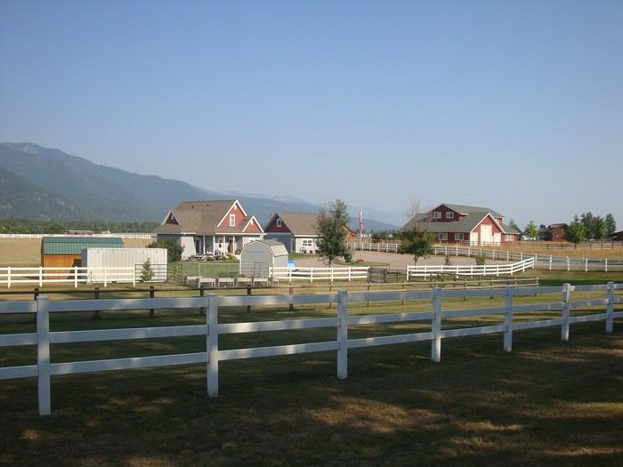 Between Whitefish and Bigfork, rural landscape, ranches dot the road across these plateaus.
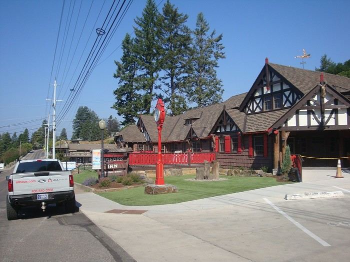 Bigfork, on the shores of Flathead Lake.
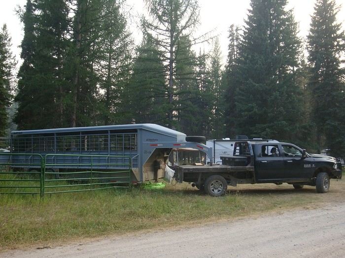 Campsite with riders and their horses. Big pickups towing very long trailers, some shared between living space and horse vans.
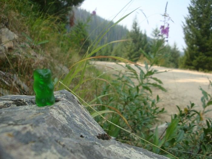 "Hey bear!"
"The grizzliest place in North America," they said.
Here’s the only one we came across on our route!!
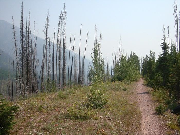 Descent via a single track toward Seeley Lake through forests ravaged by wildfires.
To be continued...
Great Divide Mountain Bike Route
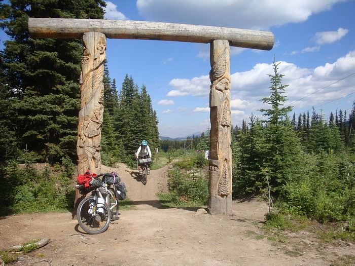 We're leaving Alberta to enter British Columbia via Elk Pass.
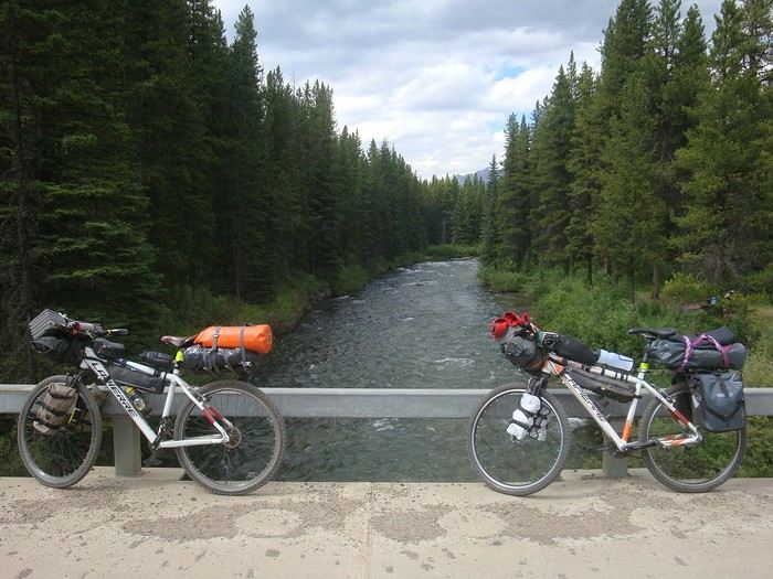 Here are our rides, P'tit Vélo and Tori, two old 26-inch mountain bikes, refurbished (new chain, tires, brakes, etc.) and equipped with waterproof panniers. They weigh 25 and 35 kg when loaded (food, water, etc.).
Less efficient than current bikes, they’re reliable and simple, easy to repair if something breaks down.
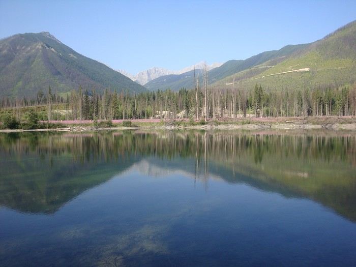 Blue Lake, just before Elkford.
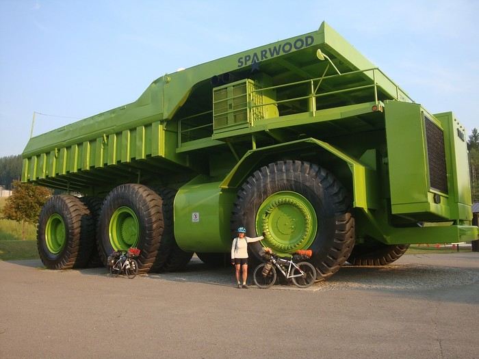 Sparwood and its Titan, the largest truck in the world at the time, now on display in this mining town (coal).
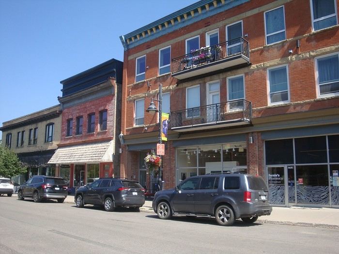 Fernie and its red-brick buildings.
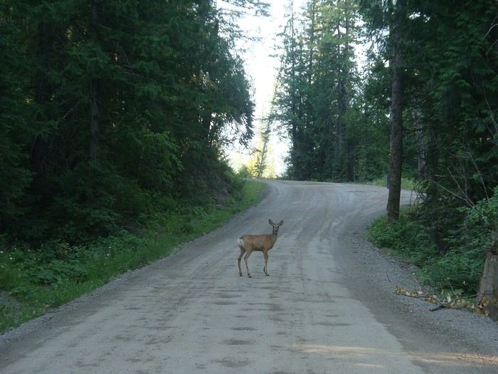 Morning encounter with a deer.
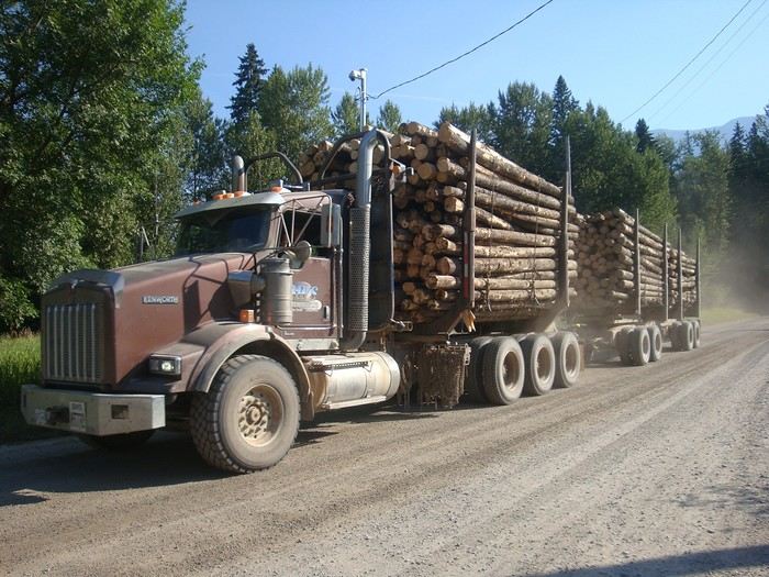 Climbing toward Harvey Pass, pretty dusty when logging trucks pass by.
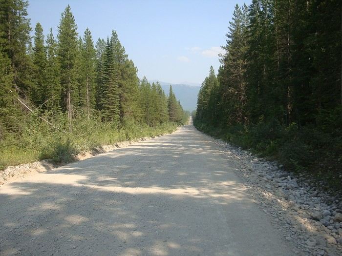 We feel so small in these vast landscapes...
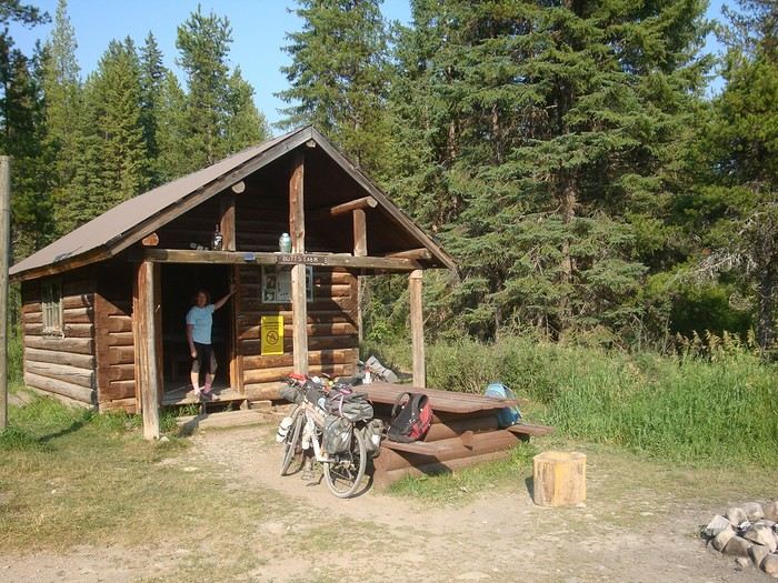 Our cabin in Canada... We love this log shelter in bear country. We’ll sleep peacefully. Good night, little ones!
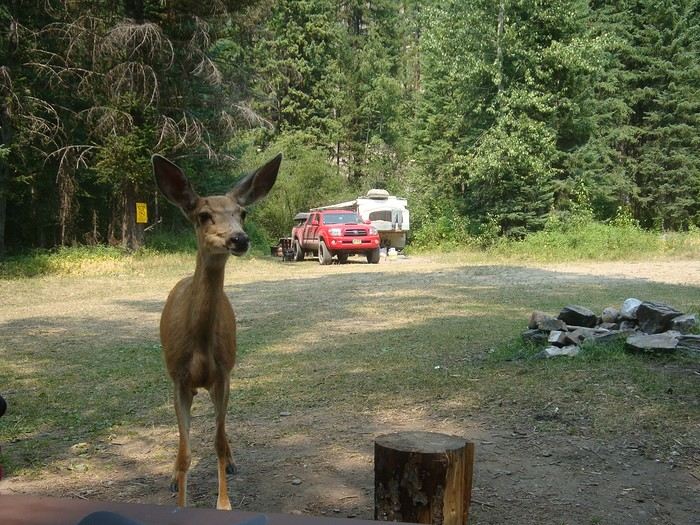 A very wild stage to reach Ram-Wigwam Recreation Site via Cabin Pass. The descent had rough pavement and a steep slope that was tough to ride. A deer joined us at our table. We met and chatted with our neighbors, who were fishing for trout.
To be continued...
Great Divide Mountain Bike Route
Hello,
Following our trip on the Great Divide Mountain Bike Route this summer, we’re sharing our experience in this travel journal.
We’re Richard and Bernadette, both 64 years old, and we’re gravel bike-packing cyclists.
We’ve completed several gravel bike trips in France and neighboring countries, and Richard has also done some in South America.
We left on July 22, 2026, from Geneva to Calgary via Frankfurt with our bikes carefully packed in boxes, and we returned on October 8 from El Paso to Geneva via Chicago and Frankfurt.
The GDMBR is a mountain route that closely follows the Pacific/Atlantic continental divide, starting in Banff, Canada, and ending at the Mexican border in Antelope Wells, New Mexico. This crossing of the American West is one of the longest mountain biking routes in the world, winding through wild valleys, mountain ranges, and desert plateaus. It stretches about 4,400 km with a total elevation gain of around 60,000 m. The average altitude is 2,000 m, and the highest point reaches 3,600 m. The route is 80% off-pavement (gravel roads, dirt, and a few trail segments). It’s also known for the annual Tour Divide race, which brings together the best riders in the discipline every June and follows roughly the same route.
We prepared for this trip over several months, using a few websites and an older guidebook (the 2013 English edition).
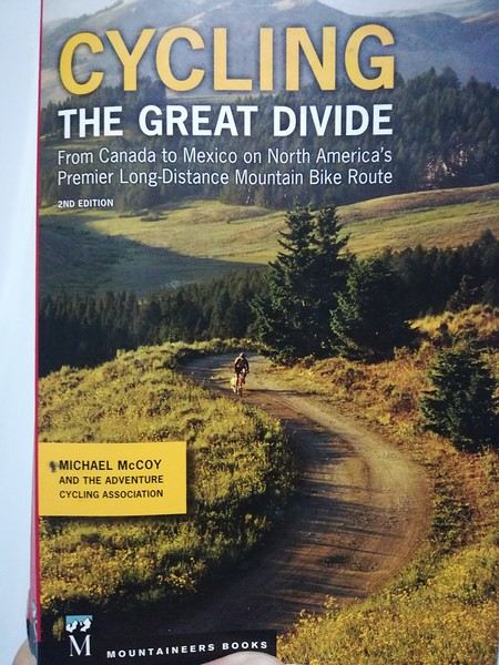
With this, we were able to organize our journey with as much information as possible, a GPS track, and gear suited to the weather conditions, terrain, and sparse resupply points in remote areas.
Once we arrived in Banff, we picked up bear spray to handle a particular challenge: the wildlife we weren’t familiar with.
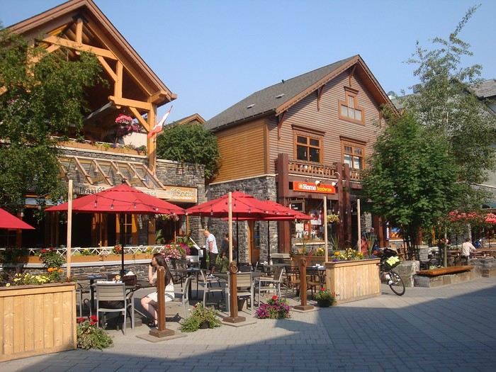
After landing in Calgary, we assembled and equipped our bikes at the airport. That first evening, we were welcomed by Mike, who invited us to his place when we were looking for a spot to pitch our tent. Then we made our way to Banff over two days, taking a fairly quiet road to Canmore and then a bike path.
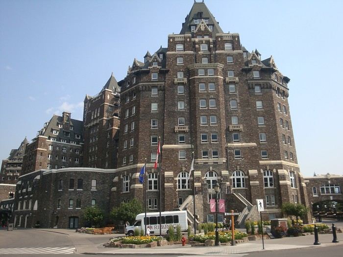
A visit to Banff, a charming tourist town in the national park. Its famous Fairmont Hotel.
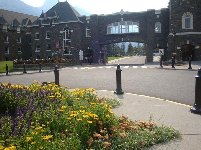
The starting point of the GDMBR at the arch of this hotel complex.
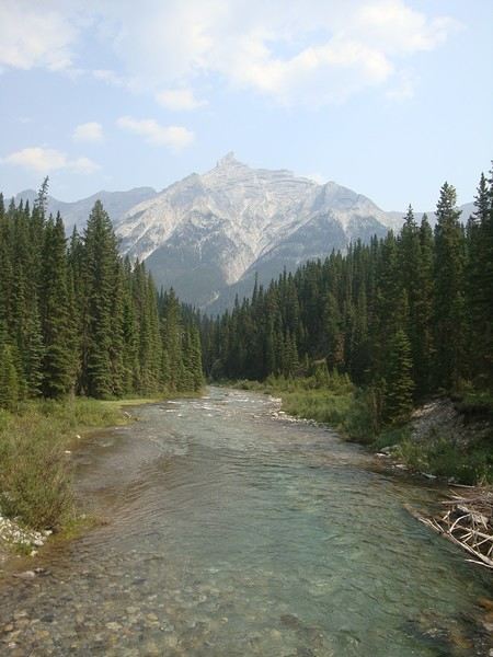
Here we are, immersed in the wilderness—just a few pedal strokes away from the town, the contrast is striking. Powerful rivers, vast landscapes, and our first encounter with a mule deer.
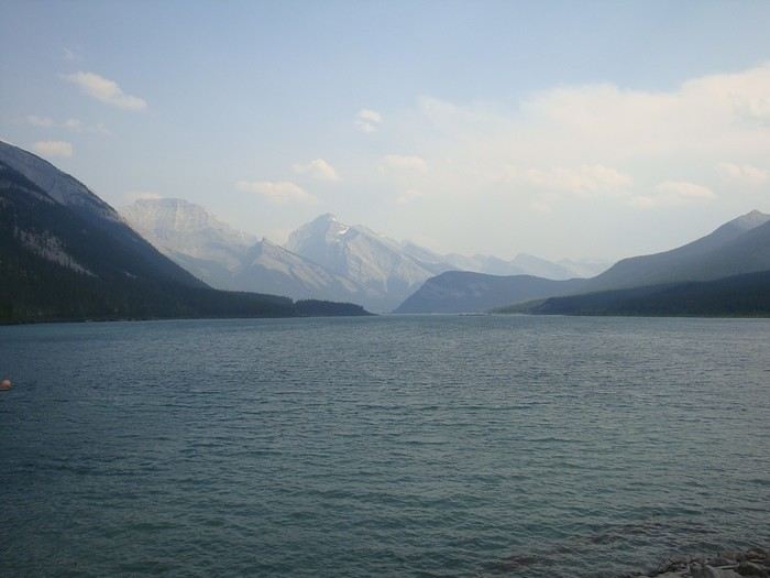
Spray Lake, our first basic campsite: no showers, dry toilets, no water fountain—we filter lake water. Most GDMBR campsites are like this.

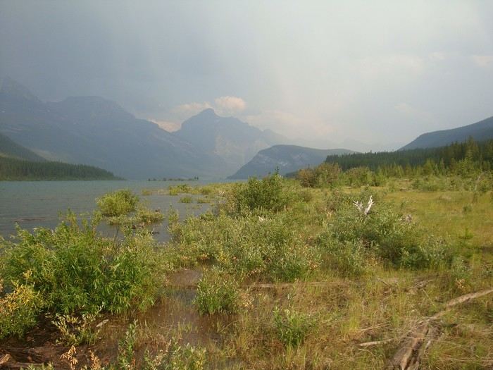
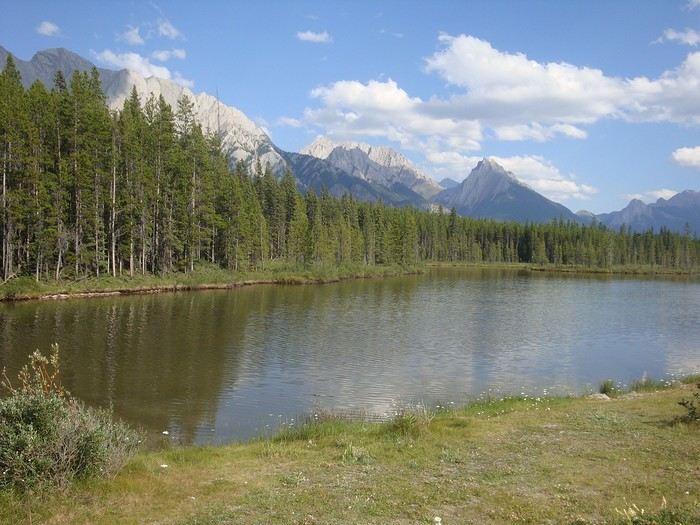
We took the west side of the lake—a longer and wilder route. A few fallen trees blocked the path, forcing us to carry our bikes. But the stunning landscapes made it all worth it!
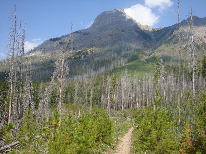
Our first single track through a forest marked by past wildfires.
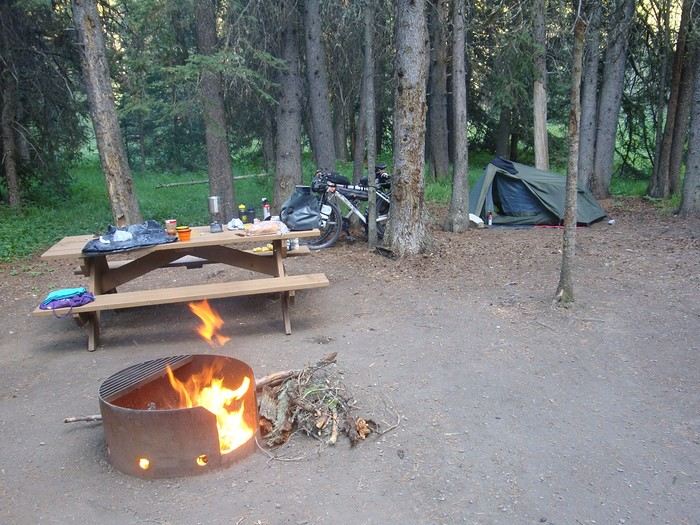
Most campgrounds have tables and metal fire rings for safe campfires, which makes setting up camp much easier—especially nice after a long, tiring day! During this trip, we mostly slept in our tent, either in established campgrounds or wild bivouacs.
To be continued...
The GDMBR is a mountain route that closely follows the Pacific/Atlantic continental divide, starting in Banff, Canada, and ending at the Mexican border in Antelope Wells, New Mexico. This crossing of the American West is one of the longest mountain biking routes in the world, winding through wild valleys, mountain ranges, and desert plateaus. It stretches about 4,400 km with a total elevation gain of around 60,000 m. The average altitude is 2,000 m, and the highest point reaches 3,600 m. The route is 80% off-pavement (gravel roads, dirt, and a few trail segments). It’s also known for the annual Tour Divide race, which brings together the best riders in the discipline every June and follows roughly the same route.
We prepared for this trip over several months, using a few websites and an older guidebook (the 2013 English edition).
With this, we were able to organize our journey with as much information as possible, a GPS track, and gear suited to the weather conditions, terrain, and sparse resupply points in remote areas.
Once we arrived in Banff, we picked up bear spray to handle a particular challenge: the wildlife we weren’t familiar with.
After landing in Calgary, we assembled and equipped our bikes at the airport. That first evening, we were welcomed by Mike, who invited us to his place when we were looking for a spot to pitch our tent. Then we made our way to Banff over two days, taking a fairly quiet road to Canmore and then a bike path.
A visit to Banff, a charming tourist town in the national park. Its famous Fairmont Hotel.
The starting point of the GDMBR at the arch of this hotel complex.
Here we are, immersed in the wilderness—just a few pedal strokes away from the town, the contrast is striking. Powerful rivers, vast landscapes, and our first encounter with a mule deer.
Spray Lake, our first basic campsite: no showers, dry toilets, no water fountain—we filter lake water. Most GDMBR campsites are like this.
We took the west side of the lake—a longer and wilder route. A few fallen trees blocked the path, forcing us to carry our bikes. But the stunning landscapes made it all worth it!
Our first single track through a forest marked by past wildfires.
Most campgrounds have tables and metal fire rings for safe campfires, which makes setting up camp much easier—especially nice after a long, tiring day! During this trip, we mostly slept in our tent, either in established campgrounds or wild bivouacs.
To be continued...