last edited Dec 11, 2019
Getting Around Mozambique
Location Map of Mozambique
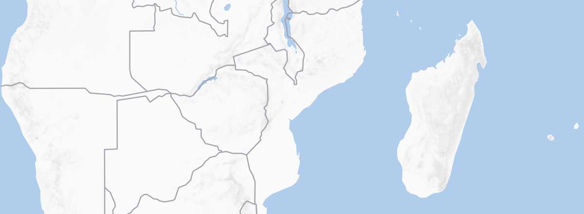 Mozambique
Open the interactive map
Mozambique
Open the interactive map
Road Network, Traffic
Car, Camper Van
Rental
Buses and Shared Vehicles
Two Wheels
Motorcycle
Bicycle
Hitchhiking
Trains
Limited by the network, train travel is very slow, uncomfortable, and often has unreliable schedules, including the line to/from South Africa (around fifteen hours for Johannesburg-Maputo). Advantage: prices are very affordable.
Boats
Domestic Flights
In Towns
Taxis
Other Means
What to Choose for Getting Around?
Distances Between Cities
Distances (km) between the main cities and tourist sites in the country:
| Beira | Chimoio | Maputo | Nacala | Nampula | Pemba | Pta Ouro | Quelim. | Tete | Vilanc. | |
|---|---|---|---|---|---|---|---|---|---|---|
| Beira | ||||||||||
| Chimoio | ||||||||||
| Maputo | ||||||||||
| Nacala | ||||||||||
| Nampula | ||||||||||
| Pemba | ||||||||||
| Ponta do Ouro | ||||||||||
| Quelimane | ||||||||||
| Tete | ||||||||||
| Vilanculos |