last edited Dec 11, 2019
Introduction to Greenland
Location Map of Greenland
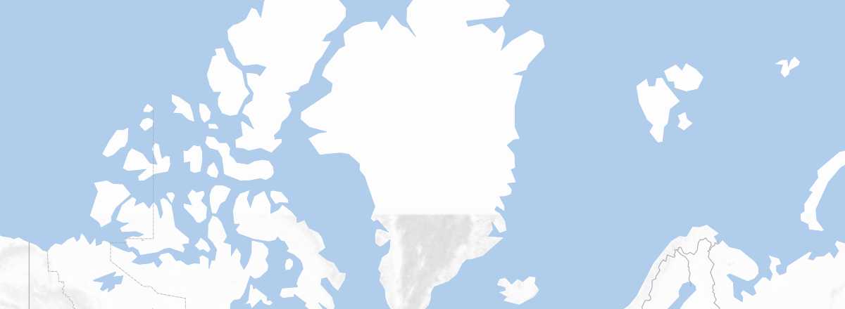 Greenland
Open the interactive map
Greenland
Open the interactive map
Quick Overview
Key Facts
- Type of place: country.
- Location: in the northeast of Canada, between the North Atlantic and the Arctic Ocean.
- Latitude/longitude: 64°10' N, 51°44' W.
- Local time:
- Capital: Nuuk.
- Nature of the state: constituent country of the Kingdom of Denmark.
- Official language: Greenlandic.
- Currency: Danish krone.
- Population: 57,691 inhabitants (2018).
- Area: 2,166,086 km².
- Density: 0.025 inhabitants/km².
- Highest point: Gunnbjørn Fjeld (3,694 m)
- Lowest point: sea level.
- Coastline: 44,087 km.
- Driving: on the right.
Tourism
A rugged, wild, and icy land, this vast island is captivating. Unfortunately, tourism opportunities here are extremely limited, challenging, and often expensive—even on discovery cruises. This is why tourism in Greenland remains underdeveloped. Fewer than 40,000 people visit each year (36,000 in 2016), with about half being Danes (from Europe), quite a few Americans (the U.S. has bases there), as well as Germans and Scandinavians. As for the French, fewer than a thousand visit (800 in 2016), though this still makes France the eighth-largest country of origin, just ahead of Canada.
Travel Essentials
- Destination:
- By air:
- Entry requirements: passport or ID card.
- Currency to bring:
- Exchange rate:
- Daily "backpacker" budget:
- Best for accommodation:
- Best for getting around:
- Risks:
- Best time for climate/crowds/prices:
- Interests (out of ): Nature ; Adventure ; Culture ; Relaxation/Holidays
Useful Addresses
Socio-Economic Statistics
- GDP per capita: $41,800 (2015)
- Average monthly income:
- Inflation: +0.3% (2017)
- "Official" unemployment: 9.1% (2015)
- Population below the poverty line: 16.2% (2015)
- Life expectancy: 72.9 years (2018)
- Migration rate per 1,000 inhabitants: -6 (2017)
- Population growth: -0.04% (2018)
- Literacy rate:
- Urban population: 86.8% (2018)
Sources: World Bank, Human Development Indicators, RSF, The Economist, The World Factbook