last edited Dec 11, 2019
Introduction to Brittany
Location Map of Brittany
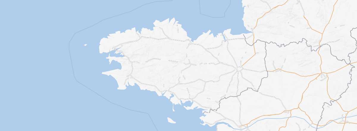 Brittany
Open the interactive map
Brittany
Open the interactive map
Overview
Key facts
- Type of place: tourist region.
- Location: at the far west of France.
- Local time:
- Administrative region: Brittany (prefecture: Rennes).
- Departments: Côtes d'Armor (22), Finistère (29), Ille et Vilaine (35) and Morbihan (56).
- Main cities: Brest, Lorient, Quimper, Rennes, St-Brieuc, Vannes...
- Population: 3,273,000 inhabitants (2014).
- Area: 27,208 km².
- Density: 120 inhabitants/km².
- Highest point: Roc'h Ruz (385 m) in Finistère.
- Lowest point: sea level.
- Coastline:
Tourism
Beyond a few persistent clichés, Brittany remains a region with a strong culture and wild landscapes often born from the meeting of land and sea. It’s a destination made for nature lovers but also for those seeking a certain "tranquillity"...
Where to get information?
Departmental Tourism Committees
Travel essentials
- Backpacker daily budget:
- Best for accommodation:
- Best for getting around:
- Best time for climate/crowds/prices:
- Highlights (out of ): Nature ; Culture / ; Relaxation-holidays
- Website: