★ 2 · last edited Jul 2, 2020
Fougères
Contributionsversion #2created Jul 2, 2020Report this pageLatest contributions in this guideContributors to this guide
Location verified location
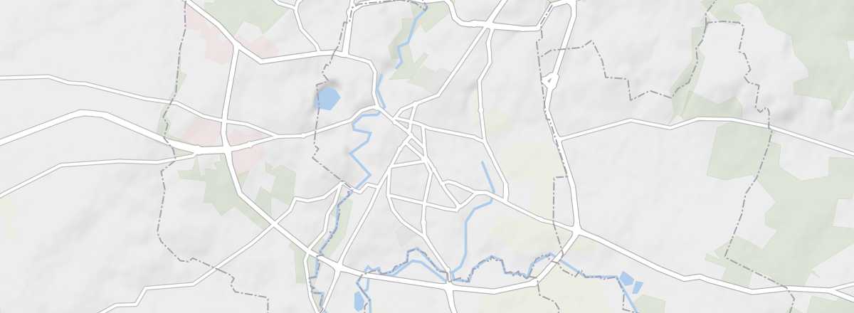 Fougères
Open the interactive map
Fougères
Open the interactive map
This sub-prefecture is home to one of France’s most impressive medieval fortresses, along with a belfry and a charming medieval gate complete with a drawbridge.
Overview of Fougères
This sub-prefecture is home to one of France’s most impressive medieval fortresses, along with a belfry and a charming medieval gate complete with a drawbridge.
Key details
- Type of place: small town.
- Tourist interest: (worth seeing).
- Location: in the east of the Ille-et-Vilaine department.
- Distances:
- Local time: .
- Population: 20,194 inhabitants (2016).
- Area: 10.47 km².
- Altitude: from 62 to 171 m.
- Website: http://www.ot-fougeres.fr
History of Fougères
What to see and do in Fougères
A belfry, a charming medieval gate with a drawbridge, and a few old half-timbered buildings make up the core of Fougères’ urban heritage.
Fougères Castle
Covering two hectares, this is one of Europe’s most imposing fortresses and the town’s main attraction. It dates from the 12th century.
Covering two hectares, this is one of Europe’s most imposing fortresses and the town’s main attraction. It dates from the 12th century.
Emmanuel de la Villéon Museum
A 16th-century townhouse turned into a museum dedicated to this local 19th-century painter.
A 16th-century townhouse turned into a museum dedicated to this local 19th-century painter.
In the surrounding area
Climate and weather in Fougères
The area enjoys a temperate oceanic climate, with mild winters and pleasant summers, along with relatively good sunshine. While rain is fairly common year-round, the region remains the driest in Brittany.
Transport
Getting there
Getting around
Accommodation
Food
Useful addresses
Further reading
Worth a look / Other
Fougères Castle
★★ Covering two hectares, this is one of Europe’s most imposing fortresses and the town’s main attraction. It dates from the 12th…
Emmanuel de la Villéon Museum
★ A 16th-century townhouse turned into a museum dedicated to this local 19th-century painter.