last edited Dec 11, 2019
Overview of Paris-Île de France
Location Map of Paris-Île de France
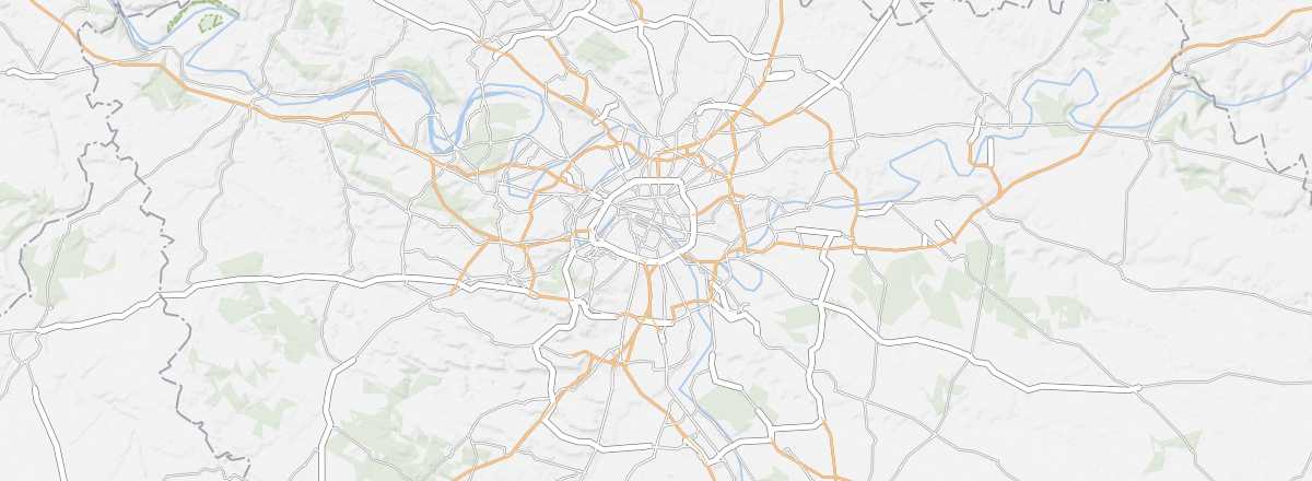 Paris-Île de France
Open the interactive map
Paris-Île de France
Open the interactive map
Overview
Key Facts
- Type of place: tourist region.
- Location:
- Local time:
- Administrative region: Île-de-France (prefecture: Paris).
- Departments: Paris (75), Seine-et-Marne (77), Yvelines (78), Essonne (91), Hauts-de-Seine (92), Seine-Saint-Denis (93), Val-de-Marne (94) and Val-d'Oise (95).
- Main cities: Argenteuil, Boulogne-Billancourt, Montreuil, Paris, Saint-Denis, Versailles...
- Population: 12,117,132 inhabitants (2016).
- Area: 12,011 km².
- Highest point:
- Lowest point:
- Coastline: 0 km; no maritime access.
Tourism
While many visitors limit their experience of the Paris region to Paris and Versailles, there is much more to discover. The outskirts of the capital boast numerous cultural treasures and even some natural sites perfect for outdoor activities.
Where to get information?
Departmental Tourism Committees
Travel Essentials
- Backpacker daily budget:
- Best for accommodation:
- Best for getting around:
- Best time for climate/crowds/prices:
- Interests (out of ): Nature ; Adventure / ; Culture ; Relaxation/Holidays
- Website: https://www.visitparisregion.com