last edited Dec 11, 2019
Getting around Easter Island
Location Map of Easter Island
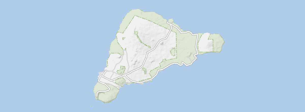 Easter Island
Open the interactive map
Easter Island
Open the interactive map
Road network, traffic
Public transport
There is no public transport on Easter Island.
Car or motorcycle rental
Taxis
Bicycle
On foot and hitchhiking
The island is relatively small, and even though it has some elevation, it is entirely possible for the most motivated to explore the area on foot. The downside is that walking (and even cycling) usually requires planning this over several days (3 or 4 days on foot with relative "self-sufficiency") and breaking it into stages. That said, you can always supplement walking with hitchhiking, which works reasonably well on the island.
On horseback
What to choose for getting around?
Distances between places
Distances (km) between the main tourist sites on the island:
| Anakena | Hanga Roa | Orongo | Puakatike | Rano Kau | Rano Raraku | Terevaka | |
|---|---|---|---|---|---|---|---|
| Anakena | |||||||
| Hanga Roa | |||||||
| Orongo | |||||||
| Puakatike | |||||||
| Rano Kau | |||||||
| Rano Raraku | |||||||
| Terevaka |