★ 2 · last edited Dec 11, 2019
Mount Meru
Location verified location
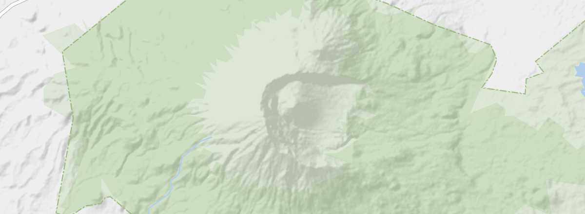 Mount Meru
Open the interactive map
Mount Meru
Open the interactive map
At 4,565 m, this extinct volcano overlooking the city of Arusha is Africa's fourth-highest peak. A classic high-altitude trek that can be completed in 3 or 4 days of hiking, it lies within the small Arusha National Park, home to relatively rich wildlife.
Overview of Mount Meru
At 4,565 m, this extinct volcano overlooking the city of Arusha is Africa's fourth-highest peak. A classic high-altitude trek that can be completed in 3 or 4 days of hiking, it lies within the small Arusha National Park, which is home to relatively rich wildlife.
Key facts
- Type of place: volcano.
- Tourist interest: (worth seeing).
- Features:
- Massif:
- Summit: 4,565 m.
Mount Meru's environment
Wildlife and flora
Climate and weather
Precautions
What to see and do
Practical information
- Location:
- Distances:
- Website: tanzaniatourism.go.tz/mount-meru