★ 3 · last edited Dec 11, 2019
Lake Malawi
Location verified location
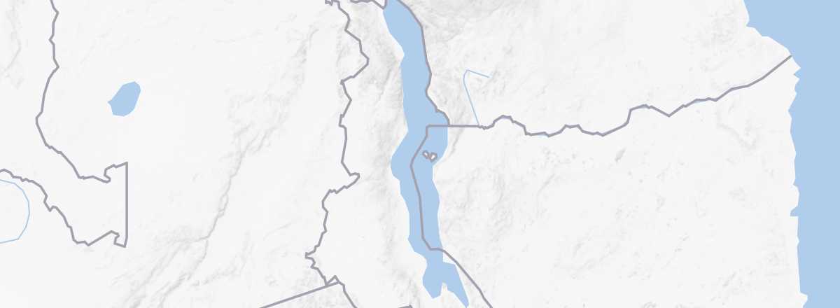 Lake Malawi
Open the interactive map
Lake Malawi
Open the interactive map
It is shared between Tanzania, Mozambique, and Malawi, with ferries available for crossing. By far, the Malawian side is the most tourist-friendly, featuring beaches, "beach resorts," and even cruise possibilities. Meanwhile, the Mozambican side (and similarly in Tanzania) is less visited but still accessible, with beautiful beaches near Metangula, birdwatching opportunities, and some hiking options.
Overview of Lake Malawi
Also known as Lake Nyasa, it is shared between Tanzania, Mozambique, and Malawi, with ferries available for crossing. By far, the Malawian side is the most tourist-friendly, featuring beaches, "beach resorts" (including Cape Maclear), and even cruise possibilities. Meanwhile, the Mozambican side (and similarly in Tanzania) is less visited but still accessible, with beautiful beaches near Metangula, birdwatching opportunities, and some hiking options along its shores.
Key Facts
- Type of place: lake.
- Tourist interest: (recommended).
- Characteristics:
- Surface area: 29,600 km².
- Altitude: 468 m.
Lake Environment
Wildlife and Flora
Climate and Weather
Precautions
What to See and Do
Practical Information
- Location:
- Distances:
- Website: www.malawitourism.com/