last edited Dec 11, 2019
Introduction to Namibia
Location Map of Namibia
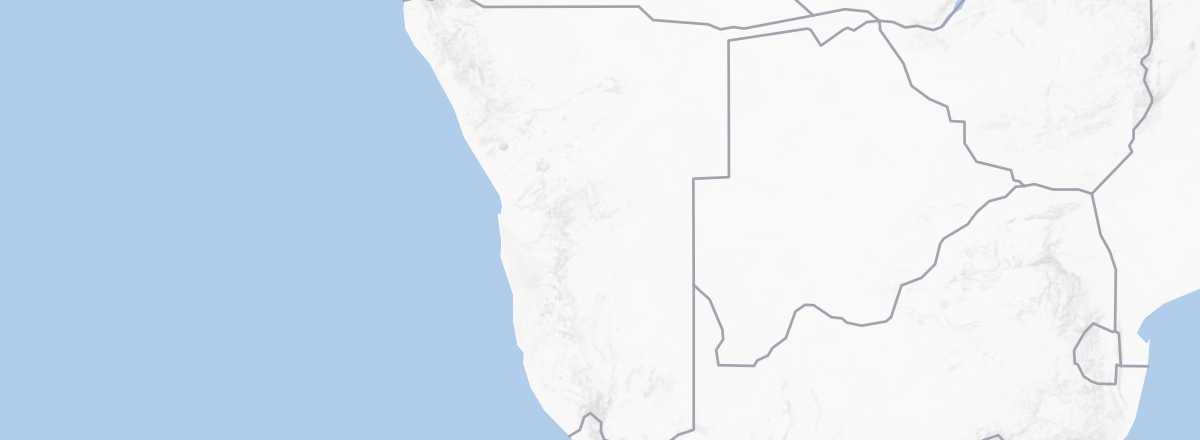 Namibia
Open the interactive map
Namibia
Open the interactive map
Quick Overview
The former "South-West Africa" is divided into four main regions: the Namib Desert and the rather inhospitable coastal plains that stretch along the Atlantic for about 2,000 km, the central plateau peaking at 2,606 m where the cities are concentrated, the Kalahari Desert to the east, and finally, in the north, the wooded bushveld of Kavango and Caprivi.
Key Facts
- Type of place: country.
- Location: at the southwestern tip of Africa, bordering the Atlantic, between South Africa and Angola.
- Latitude/longitude: 22.00' S, 17.00' E
- Local time:
- Capital: Windhoek.
- Nature of the state: Parliamentary republic.
- Official language: English (plus a dozen recognized languages with "national value").
- Currency: Namibian dollar (and South African rand, which is legal tender).
- Population: 2,533,224 inhabitants (2018).
- Area: 825,615 km².
- Density: 3 inhabitants/km².
- Highest point: Königstein (2,606 m).
- Lowest point: sea level.
- Coastline: 1,572 km.
- Driving: on the left.
Tourism
While Namibia has its audience and tourism contributes significantly (15% of GDP and 18% of jobs), visitor numbers remain far below what the country has to offer. Poor air connectivity and relatively high costs for both independent and organized travel mean the destination attracts just 1.5 million visitors per year (1.499 million in 2017)—seven times fewer than neighboring South Africa. Among these, tourists primarily come from South Africa (a third of entries), Angola, Germany, the UK, the USA, and France (20,200 in 2015).
Travel Essentials
- Destination: for beginner to somewhat experienced travelers.
- By air: France-Windhoek for 760/1,100 € round trip.
- Entry requirements: passport valid for at least 6 months after return date.
- Currency to bring: euros.
- Exchange rate:
- Daily "backpacker" budget: 65 to 100 € per person.
- Accommodation: camping.
- Getting around: car (not necessarily 4x4) with a "roof tent."
- Risks: relatively low to medium (very locally) in terms of health and safety.
- Best time for climate/crowds/prices: from April to October, particularly at the start and end of this period.
- Interests (out of ): Nature ; Adventure ; Culture ; Relaxation/Holidays .
Addresses in France
Tourist Office: online only.
Addresses in Belgium, Switzerland, and Quebec
Socio-Economic Statistics
- "Quality of life": 129/188 (rank in 2018)
- GDP per capita: $11,200 (2018)
- Average monthly income: $470 (2012)
- Inflation: +6.1% (2017)
- "Official" unemployment: 34% (2016)
- Population below poverty line: 28.7% (2011)
- Life expectancy: 64.4 years (2018)
- Migration rate per 1,000 inhabitants: 0 (2017)
- Population growth: +1.91% (2018)
- Literacy rate: 82% (2015)
- Urban population: 50% (2018)
- Press freedom: 26/180 (rank in 2018)
- Political regime: flawed democracy (69/167 in 2016)
Sources: World Bank, Human Development Indicators, RSF, The Economist, The World Factbook