last edited Dec 11, 2019
Getting Around Antigua and Barbuda
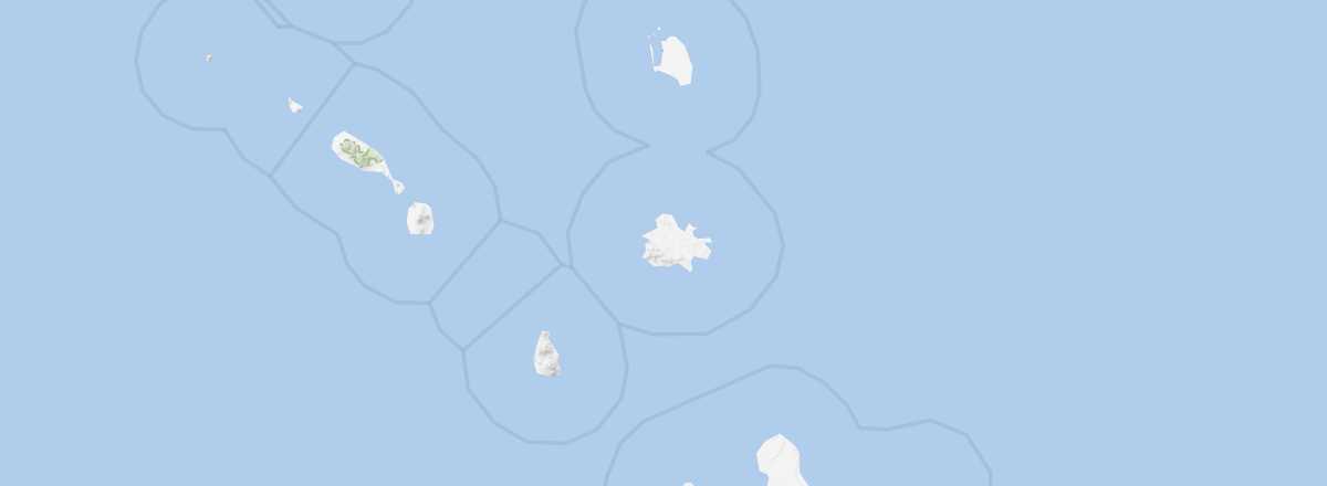
Location Map of Antigua and Barbuda
 Antigua and Barbuda
Open the interactive map
Antigua and Barbuda
Open the interactive map
Between the Islands
To travel between Antigua and Barbuda, there are two options: boat or plane.
For ferries, Barbuda Express operates the route with five weekly crossings, a 90-minute journey, and an $80 round-trip fare. For flights, small airlines like ABM Air and Fly Montserrat offer daily flights for around $130 round-trip.
On Antigua
There are no trains, flights, or regular maritime services within Antigua itself.
Road Network and Traffic
The island has many winding roads where it’s best to drive carefully and avoid traveling at night. Additionally, driving is on the left in Antigua.
Car Rental
Taxi
Buses
The network is served by minibuses that primarily run along main routes and may not reach everywhere. They’re often crowded but very affordable.
Two-Wheelers
Hitchhiking
What to Choose for Getting Around?
On Barbuda
Distances Between Towns
Distances (km) between the main towns and tourist spots on Antigua.
| All Saints | Bolands | C.Grove | FreeTown | Parham | S.John's | Swetes | Willikies | |
|---|---|---|---|---|---|---|---|---|
| All Saints | 13 | 15 | 16 | 7 | 11 | 2 | 14 | |
| Bolands | 13 | 15 | 28 | 17 | 10 | 14 | 24 | |
| Cedar Grove | 15 | 15 | 27 | 13 | 5 | 16 | 23 | |
| FreeTown | 16 | 28 | 27 | 16 | 24 | 17 | 15 | |
| Parham | 7 | 17 | 13 | 16 | 11 | 8 | 12 | |
| Saint John's | 11 | 10 | 5 | 24 | 11 | 13 | 20 | |
| Swetes | 2 | 14 | 16 | 17 | 8 | 13 | 15 | |
| Willikies | 14 | 24 | 23 | 15 | 12 | 20 | 15 |