last edited Dec 11, 2019
Overview of the Cayman Islands
Location Map of Cayman Islands
 Cayman Islands
Open the interactive map
Cayman Islands
Open the interactive map
Quick Overview
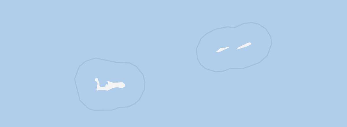
The Cayman Islands (or Caymans) are a group of three islands (Grand Cayman, Little Cayman, and Cayman Brac) located in the Caribbean Sea, 240 km south of the coasts of Cuba and 268 km from those of Jamaica. Grand Cayman (196 km²; 52,600 inhabitants) is the largest, most populated, and westernmost island in the archipelago. It lies 120 km southwest of Little Cayman (26 km²; 170 inhabitants) and 145 km southwest of Cayman Brac (36 km²; 3,300 inhabitants).
While the small archipelago is globally known as a "tax haven," it is also a highly popular relaxation and vacation spot for North American visitors and cruise passengers, thanks to its stunning beaches and marine life.
Key Facts
- Type of place: territory.
- Location: between Cuba and Central America (Honduras).
- Latitude/longitude: 19.30' N, 80.30' W
- Local time:
- Capital: George Town.
- Nature of the state: British Overseas Territory.
- Official language: English.
- Currency: Cayman Islands dollar.
- Population: 59,613 inhabitants (2018).
- Area: 264 km².
- Density: 225 inhabitants/km².
- Highest point: The Bluff (43 m) on Cayman Brac.
- Lowest point: sea level.
- Coastline: 160 km.
- Driving: on the left.
Tourism
After revenue from its status as a tax haven and flag of convenience, tourism is the other major economic pillar of the Cayman Islands. Each year, these small islands welcome over 400,000 visitors (463,000 in 2018), primarily from the United States, the United Kingdom, and Canada. These three countries benefit from fairly good direct air links to the territory. In addition to air travel, many tourists arrive via the numerous cruise ships that call here for a (very) brief stay.
Travel Essentials
- Destination: for beginner travelers.
- By air: France–Grand Cayman.
- Entry requirements: passport.
- Currency to bring: US dollar.
- Exchange rate:
- Daily "backpacker" budget:
- Best for accommodation:
- Best for getting around:
- Risks: very low in terms of health and safety.
- Best time for climate/crowds/prices: April–June or late November–early December.
- Interests (out of ): Nature ; Adventure ; Culture ; Relaxation/Vacation .
Addresses in France
Tourist Office: online only (in English).
Addresses in Belgium, Switzerland, and Quebec
Socio-Economic Statistics
- "Quality of life":
- GDP per capita: $43,800 (2016)
- Average monthly income:
- Inflation: +2% (2017)
- "Official" unemployment:
- Population below the poverty line:
- Life expectancy: 81.4 years (2018)
- Migration rate per 1,000 inhabitants: +13.8 (2017)
- Population growth: +1.96% (2018)
- Literacy rate: 99% (2013)
- Urban population: 100% (2019)
- Press freedom:
- Political regime:
Sources: World Bank, Human Development Indicators, RSF, The Economist, The World Factbook