last edited Dec 11, 2019
Getting to the United States by Land or Sea
Location Map of United States
 United States
Open the interactive map
United States
Open the interactive map
By Land
Borders
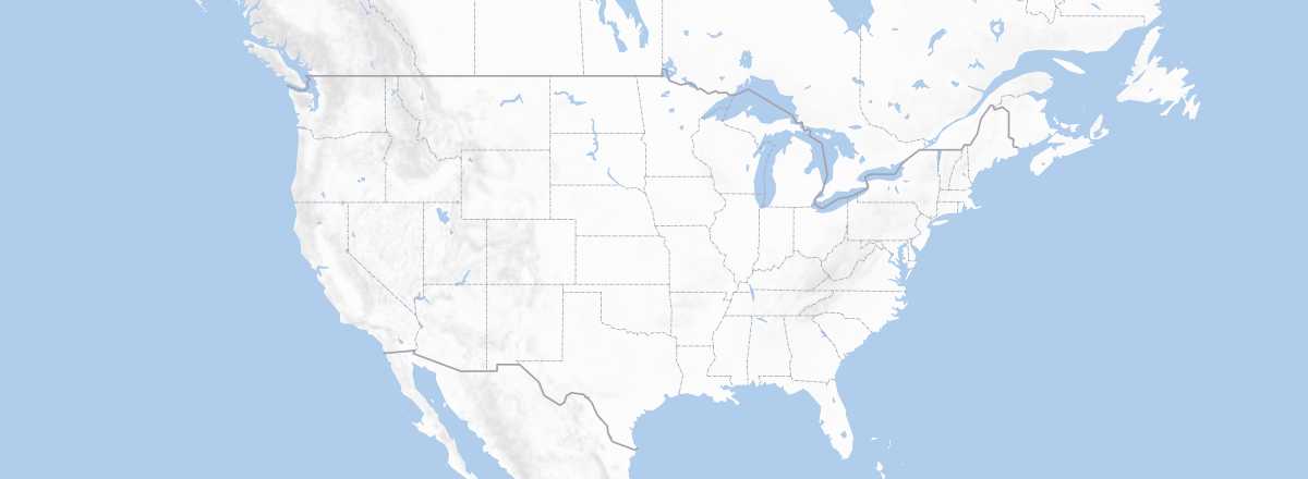
The United States shares a border with two countries: Canada (8,893 km, including 2,477 km in Alaska) and Mexico (3,140 km).
Entry from Canada
Entry from Mexico
Cruises
By Sea
Ferries
Cargo
Logically, the U.S. has several major commercial ports, ensuring there’s always an arrival point regardless of the coastline—or even the Great Lakes region.
On the Pacific side, Seattle in the north and Los Angeles/Long Beach in California offer the most options. On the Gulf of Mexico, Texas, with its oil industry, sees heavy traffic, and cities like Corpus Christi, Houston, or in Louisiana, Baton Rouge and New Orleans, rank among the country’s main ports. For Florida/Georgia, Tampa and Savannah are key arrival points. Further north, the Hampton Roads terminal (Virginia) is known as the world’s largest natural harbor. And of course, the ports of New York/New Jersey are among the primary cargo entry points for travelers. Finally, even though the ocean is far away, the Great Lakes (Detroit, Chicago, Cleveland, etc.) are accessible via the St. Lawrence River.