last edited Aug 17, 2020
Getting Around California
Road Network, Traffic
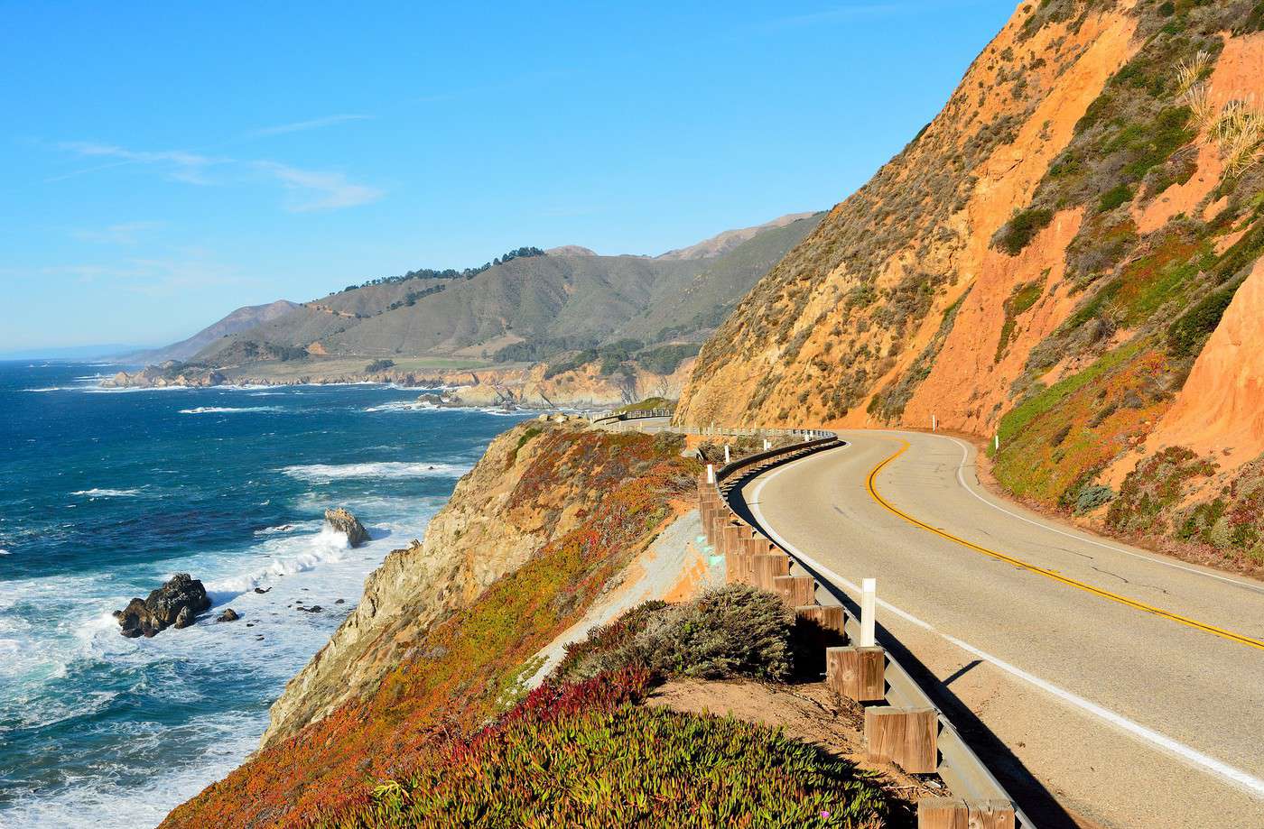
Car, RV
If you only want to visit the coast between SF and LA, public transport may still be an option, though a city like Los Angeles isn’t easy to explore without your own means of getting around. Otherwise, as always, once you head into nature, the deserts and mountains of the interior, or slightly off-the-beaten-path tourist sites, a car becomes essential—unless you want to miss out on a lot or struggle to get around. In short, a car is almost indispensable for California.
Rental
Bus
Two Wheels
Motorcycle
Bike
Hitchhiking
Trains
Amtrak Network
By American standards, California is fairly well-served by rail. In addition to lines coming from the East (to/from Chicago or Texas) and the North (to/from Seattle and Vancouver), you’ll also find Amtrak services along the coast (between SF and San Diego) or heading into the Central Valley as far as Bakersfield. Among the trains and lines running through or across the region (see details):
- Chicago - Denver - Glenwood Springs - San Francisco: California Zephyr
- Auburn - Sacramento - San Francisco - Oakland - San Jose: Capitol Corridor
- Seattle - Portland - Los Angeles: Coast Starlight
- San Luis Obispo - Santa Barbara - Los Angeles - San Diego: Pacific Surfliner
- San Francisco - Sacramento - Bakersfield: San Joaquin
- Chicago - Albuquerque - Los Angeles: Southwest Chief
- New Orleans - San Antonio - Los Angeles: Sunset Limited
Note that beyond the usual discounts (youth, senior, etc.) or the national Amtrak pass (valid for 15 to 45 days), there’s also a California-specific pass (the California Rail Pass), valid for 7 days within a 21-day period for $160.
Local or Tourist Trains
While Amtrak remains the dominant rail company in the state and the country, other smaller operators also exist locally. This includes suburban networks in major cities like Caltrain, Altamont Express, or the BART for the San Francisco/San Jose area, Metrolink for the Los Angeles region, and Coaster for San Diego. These suburban lines often connect to the Amtrak network where possible. Additionally, there are a few tourist trains, such as the (luxurious) Napa Valley Wine Train.
Boats
Beyond cruises, there are several regular maritime routes within the state:
San Francisco Bay
Given its layout, it makes sense that ferry services connect different parts of the bay. The companies handling these routes include San Francisco Bay Ferry, Angel Island Ferry, Golden Gate Ferry, and Vallejo Bay Ferry.
Coastal Islands
Island Packers and Truth Aquatics manage tourist services to the Channel Islands, while Catalina Flyer, Catalina Classic Cruises, and Catalina Express operate routes between the mainland and the inhabited island of Catalina, off the coast of Los Angeles.
Domestic Flights
In the City
Taxis
Other Means
Subway and tram:
Urban bus:
On foot: Unlike Los Angeles, it’s really only in San Francisco that you can consider exploring the city on foot. Even though SF has some steep hills, its layout is actually quite walkable.
Which Transport to Choose?
Unless you’re sticking strictly to the coast, a car is almost essential for exploring California, especially if you plan to venture into nature, the deserts and mountains of the interior, or slightly off-the-beaten-path tourist sites.
Distances Between Cities
Distances (km) between California’s main cities and sites:
| Death V. | Fresno | Lac T. | L.A. | Monter. | Sacra. | S. Diego | S.F. | S. Luis | Yosem. | |
|---|---|---|---|---|---|---|---|---|---|---|
| Death Valley | ||||||||||
| Fresno | ||||||||||
| Lac Tahoe | ||||||||||
| Los Angeles | ||||||||||
| Monterey | ||||||||||
| Sacramento | ||||||||||
| San Diego | ||||||||||
| San Francisco | ||||||||||
| San Luis Obispo | ||||||||||
| Yosemite NP |
For reference, distances in the U.S. are measured in miles, with 1 mile = 1.607 km.