last edited Dec 11, 2019
Maps and Plans: Scales
Location Map of Destinations
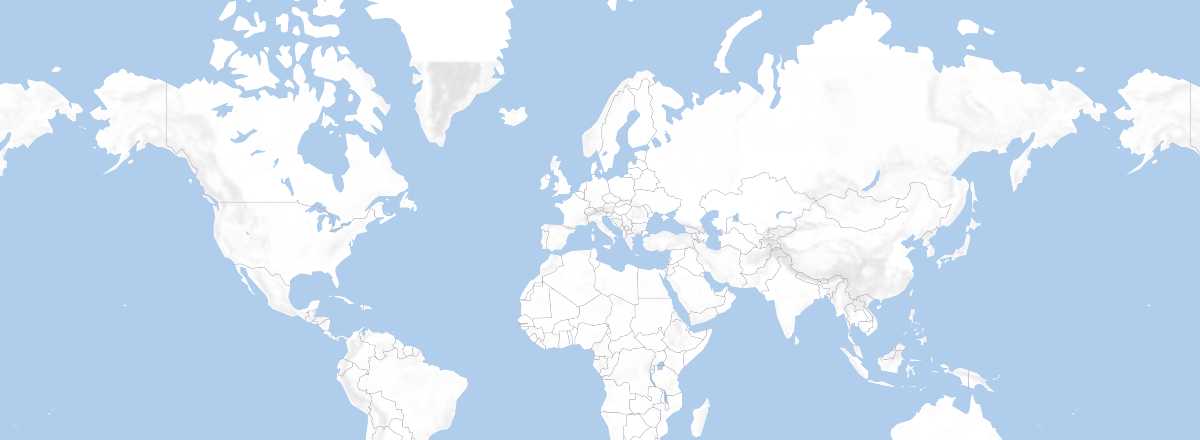 Destinations
Open the interactive map
Destinations
Open the interactive map
About Scale
Every map has its use. That’s why it’s important to determine your cartography needs before making a choice. Scale is, in a way, the essential element of a map or plan. Depending on the planned activity, you’ll need specific scales.
As a reminder, for 1:50,000, 1 cm on the map represents 50,000 cm (500 m) on the ground. For 1:200,000, 1 cm represents 2 km, and so on...
Hiking, Walking, or City Exploration
These activities require precise scales showing the smallest details: relief, trails or streets, buildings, waterways, etc. So, opt for maps or plans up to 1:50,000.
Several collections specialize in this, though for many destinations, nothing is commercially available—or such "precision" may even be prohibited by certain authorities.
Cycling, Horseback Riding, or Road Trips
Representations up to 1:200,000 are still useful. However, outside Europe and a few other countries, obtaining such maps isn’t always straightforward (sometimes only available online) before arriving on-site.
Driving Off the Main Roads
Precise landmarks are less critical, but the map should still be detailed. Choose scales between 1:200,000 and 1:500,000. Generally, you can find what you need for most European countries or tourist areas.
Staying on Main Roads
Or when traveling by land transport. There’s no need to overcomplicate things. General maps from 1:500,000 to 1:1,000,000—or even smaller for some countries—are sufficient. Note that for many countries, the most precise paper maps easily available in France (and sometimes on-site) are around 1:1,000,000 (1 cm = 10 km).
By Train, Boat, Plane, or Long-Distance Road Travel
Or even within cities, the map serves only as a reference. Small scales (beyond 1:1,000,000) are more than enough. These types of maps are available for continents or groups of countries.
Index and Miscellaneous Info
Whether for maps, atlases, or especially city plans, an index—or even additional information—can be extremely useful. Many collections also offer enlarged views of key areas, city plans as inserts, distance markers, and even local place names in the "local alphabet" if it’s non-Latin.
So, while choices may be limited for many parts of the world, it’s best to pick what suits your type of travel.
Additional Tips
Though less critical than for a guidebook, it’s still better to choose the most recent maps. Road infrastructure and urban development can change quickly.
For highly touristy destinations, you’ll find a wide selection of nearly identical maps. Compare based on price and extras (publication year, index, city plans, etc.). Many countries also have local publishers offering affordable options (though quality can vary). For various reasons (military secrecy, border disputes, outdated editions, etc.), cartographic information may sometimes differ significantly from reality.
Tourist offices sometimes offer very useful (and often free) materials. If it seems sufficient, it’s a good way to save money for your upcoming trip.