
Travel guide · QC
Abitibi-Temiscamingue
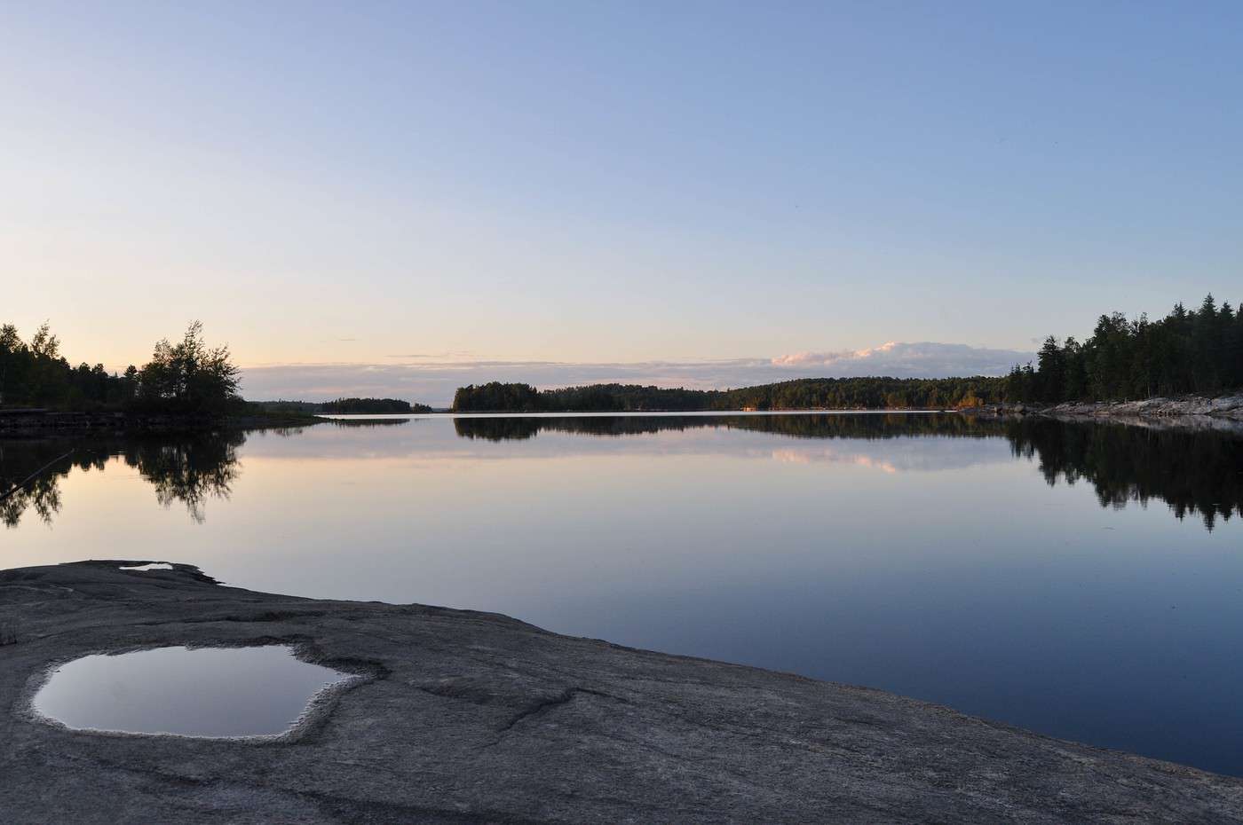
This is the ideal spot for recreational activities like hunting, fishing, and nature observation and interpretation.
Introducing Abitibi-Témiscamingue
Overview
This is the ideal spot for recreational activities such as hunting, fishing, and nature observation and interpretation.
Landmarks
- Location: the westernmost region of Quebec, bordered to the north by the Nord-du-Québec region, to the south by Outaouais, to the east by Mauricie, and to the west by Ontario.
- Local time: . The region is on "Eastern Time" like Montreal.
- Main cities:
- Population: 147,700 inhabitants (2015).
- Area: 57,349 km².
- Density: 2.6 inhabitants/km².
- Highest point: unnamed, east of Senneterre (616 m).
- Lowest point:
Tourism
Culture, Society, and Customs of Abitibi-Témiscamingue
Carnaval de Lorrainville : This winter carnival in Lorrainville offers activities like snow sculpting, dog-sled rides, sledding, inflatable games, shows, and more. Festival des Langues sales : This festival in La Sarre celebrates the French language as spoken…
What to see in Abitibi-Témiscamingue
The Gédéon worksite, Cité de l'Or, Fort-Témiscamingue, the Fossilarium, the Abitibi-Témiscamingue mineralogical museum, Aiguebelle National Park, and T.E. Draper.
View guide page: What to see in Abitibi-TémiscamingueTowns and cultural heritage
Rouyn-Noranda
This mining town surrounded by forests and lakes is the most populous in Abitibi-Témiscamingue. It has a dynamic cultural community and hosts several major festivals each year.
This mining town surrounded by forests and lakes is the most populous in Abitibi-Témiscamingue. It has a dynamic cultural community and hosts several major festivals each year.
Val-d'Or
This mining town grew during the 1920s gold rush. Known not only for its forests and lakes but also for its many bars and restaurants, it is a premier tourist and recreational destination.
This mining town grew during the 1920s gold rush. Known not only for its forests and lakes but also for its many bars and restaurants, it is a premier tourist and recreational destination.
Natural heritage
Aiguebelle National Park
This park is located on geological formations over 2.7 billion years old. Visitors can observe traces of glaciers and lava flows. For activities, as usual, hiking and kayaking are on the program.
This park is located on geological formations over 2.7 billion years old. Visitors can observe traces of glaciers and lava flows. For activities, as usual, hiking and kayaking are on the program.
Val-d'Or
This mining town grew during the 1920s gold rush. Known not only for its forests and lakes but also for its many bars and restaurants, it is a premier tourist and recreational destination.
View guide page: Val-d'OrOverview of Val-d'Or
This mining town grew during the 1920s gold rush. Known not only for its forests and lakes but also for its many bars and restaurants, it is a premier tourist and recreational destination.
Key Facts
- Type of place: small town.
- Tourist interest: (worth a stop if you are in the area).
- Location:
- Distances:
- Local time: .
- Population: 32,491 (2016).
- Area: 3,541 km².
- Altitude:
- Website: http://tourismevaldor.com
History of Val-d'Or
What to See and Do in Val-d'Or
In the Surrounding Area
Climate and Weather in Val-d'Or
Transportation
Getting There
Getting Around
Accommodation
Dining
Useful Addresses
Further Information
Aiguebelle National Park
This park is located on geological formations over 2.7 billion years old. Visitors can observe traces of glaciers and lava flows. For activities, as usual, hiking and kayaking are on the program.
View guide page: Aiguebelle National ParkOverview of Aiguebelle National Park
This park is located on geological formations over 2.7 billion years old. Visitors can observe traces of glaciers and lava flows. For activities, as usual, hiking and kayaking are on the program.
- Tourist interest: (worth seeing).
- Features:
- Area: 268.3 km².
- Altitude:
Environment
Park Physiognomy
Wildlife and Flora
Climate and Weather
Precautions
What to See
What to Do
Practical Information
- Location:
- Opening period:
- Website: http://www.sepaq.com
- How to get there:
- Distances:
Sleeping and Eating
Nearby Attractions
- == In addition
Rouyn-Noranda
This mining town surrounded by forests and lakes is the most populous in Abitibi-Témiscamingue. It has a dynamic cultural community and hosts several major festivals each year.
View guide page: Rouyn-NorandaOverview of Rouyn-Noranda
This mining town surrounded by forests and lakes is the most populous in Abitibi-Témiscamingue. It has a dynamic cultural community and hosts several major festivals each year.
Key Facts
- Type of place: small town.
- Tourist interest: (worth a stop if you are in the area).
- Location:
- Distances:
- Local time: .
- Population: 42,180 inhabitants (2016).
- Area: 6,009 km².
- Altitude: from 304 to 510 m.
- Website: http://www.tourismerouyn-noranda.ca
History of Rouyn-Noranda
What to See and Do
In the Surrounding Area
Climate and Weather
Transportation
Getting There
Getting Around
Accommodation
Dining
Useful Addresses
Further Information
Travel and suggested itineraries in Abitibi-Témiscamingue
Best times to visit
Finding the best time to visit means balancing weather conditions with crowd levels and the most attractive prices for travel and on-site expenses.
| Jan. | Feb. | Mar. | Apr. | May | Jun. | Jul. | Aug. | Sep. | Oct. | Nov. | Dec. | ||
|---|---|---|---|---|---|---|---|---|---|---|---|---|---|
| Climate | |||||||||||||
| Avoid crowds | |||||||||||||
| Low prices |
: very favourable | : favourable | : moderately favourable | : unfavourable.
Some itinerary ideas
Must-see
Offbeat
Family-friendly
By duration
Climate and Weather in Abitibi-Témiscamingue
Climate Overview
Best Time to Visit
| Jan. | Feb. | Mar. | Apr. | May | Jun. | Jul. | Aug. | Sep. | Oct. | Nov. | Dec. | |
|---|---|---|---|---|---|---|---|---|---|---|---|---|
| Climate |
: very favorable | : favorable | : moderately favorable | : unfavorable.
Local Climate and Weather
Other practical information for Abitibi-Témiscamingue
Luggage and equipment to bring
Budget
Precautions
Time difference
Local time: .
Opening hours
Laundromats
Local tourist offices
French language use
Something wrong or out of date? Report this page