★ 3 · last edited Dec 11, 2019
Åland
Location verified location
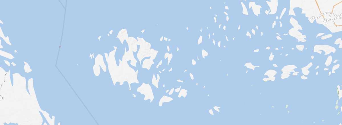 Åland
Open the interactive map
Åland
Open the interactive map
This vast archipelago between Sweden and Finland is an autonomous region where Swedish is the official language. Mariehamn is its main locality. Visitors come in season for hiking, cycling, beaches, and a relative tranquillity.
Overview of Åland
This vast archipelago (20,000 islands and islets contiguous with the Finnish archipelago) between Sweden and Finland is an autonomous Finnish region where Swedish is nevertheless the official language. Mariehamn is its main locality. Visitors come in season for hiking, cycling, beaches, and a relative tranquillity.
Key facts
- Type of place: archipelago.
- Tourist interest: (recommended).
- Location: between Sweden and southern Finland.
- Local time:
- Number of islands: 6,700 (excluding islets).
- Main locality: Mariehamn (11,500 inhabitants) on the island of Fasta Åland.
- Population: 29,013 inhabitants (2016).
- Area: 1,580 km².
- Density: 18.36 inhabitants/km²
- Highest point: Orrdalsklint (121 m) on the island of Fasta Åland.
- Coastline:
- Website: http://www.visitaland.com/en/