★ 2 · last edited Dec 11, 2019
Amtoudi
Location verified location
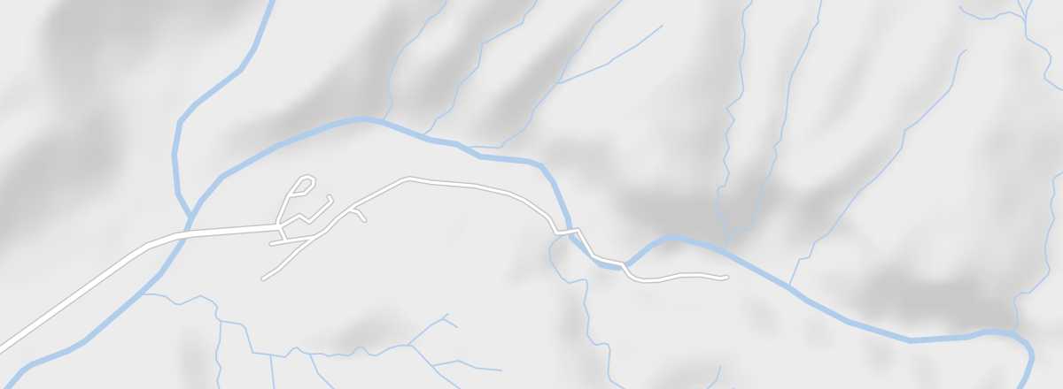 Amtoudi
Open the interactive map
Amtoudi
Open the interactive map
This Berber village, quite isolated, is a beautiful oasis nestled at the bottom of a gorge with a magnificent palm grove at the foot of the mountains.
Overview of Amtoudi
This Berber village, quite isolated, is a beautiful oasis nestled at the bottom of a gorge with a magnificent palm grove at the foot of the mountains.
Key Details
- Type of place: oasis.
- Tourist interest: (worth seeing).
- Location: off the main routes, between Guelmim and Tata and not far from the village of Icht.
- Distances: Agadir (150 miles to the north), Guelmim (71 miles to the southwest), Icht (43 miles to the southeast), Tata (130 miles to the northeast).
- Local time: .
- Population:
- Area:
- Altitude: 800 m.
- Website: