★ 2 · last edited Dec 11, 2019
Belvès Area
Contributionsversion #1created Dec 11, 2019Report this pageLatest contributions in this guideContributors to this guide
Location verified location
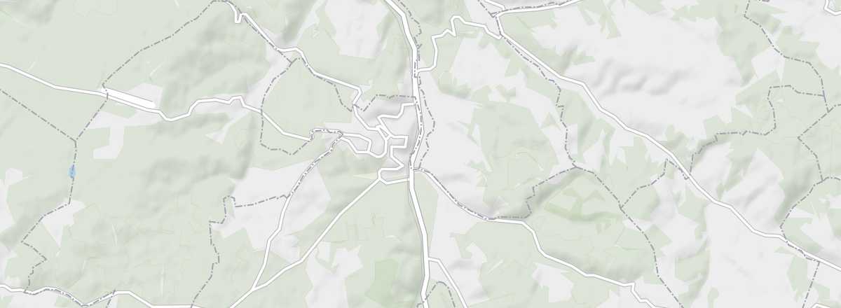 Belvès Area
Open the interactive map
Belvès Area
Open the interactive map
This village in the Périgord Noir, formed in 2016 from the merger of two localities, is among France’s most beautiful, particularly the former commune of Belvès.
Overview of Belvès
In 2016, the commune of Belvès merged with Saint-Amand-de-Belvès to form the new commune of Pays de Belvès, which ranks among France’s most beautiful for the former commune of Belvès.
Key Facts
- Type de lieu: small town.
- Intérêt touristique: (worth seeing).
- Localisation: in the Périgord Noir, in Dordogne, not far from Sarlat.
- Distances:
- Heure locale: .
- Population: 1,460 inhabitants (2014).
- Superficie: 30.72 km².
- Altitude: from 82 to 288 m.
- Site internet: http://www.belves-en-perigord.com
History of Belvès
What to See and Do
Belvès
Belvès is the former commune that is part of the "Most Beautiful Villages of France". Originally a fortified medieval town from the 11th century, it has preserved much of its heritage, with old houses, towers, and religious buildings arranged around its main square and covered market.
Belvès is the former commune that is part of the "Most Beautiful Villages of France". Originally a fortified medieval town from the 11th century, it has preserved much of its heritage, with old houses, towers, and religious buildings arranged around its main square and covered market.
Troglodytic Dwellings of Belvès
In the heart of the medieval part of Belvès, these caves (now a museum) were inhabited from the 13th to the 18th centuries.
In the heart of the medieval part of Belvès, these caves (now a museum) were inhabited from the 13th to the 18th centuries.
Organistrum and Hurdy-Gurdy Museum
This small private museum lets you discover the history of an instrument called the hurdy-gurdy.
This small private museum lets you discover the history of an instrument called the hurdy-gurdy.
In the Surrounding Area
Climate and Weather
Transportation
Getting There
Getting Around
Accommodation
Dining
Useful Addresses
Further Information
Worth a look / Other
Belvès
★★ Belvès is the former commune that is part of the "Most Beautiful Villages of France". Originally a fortified medieval town from the 11th…
Troglodytic Dwellings of Belvès
★★ In the heart of the medieval part of Belvès, these caves (now a museum) were inhabited from the 13th to the 18th centuries.
Organistrum and Hurdy-Gurdy Museum
★ This small private museum lets you discover the history of an instrument called the hurdy-gurdy.