★ 3 · last edited Aug 7, 2020
Cantal
Contributionsversion #3created Aug 7, 2020Report this pageLatest contributions in this guideContributors to this guide
Location verified location
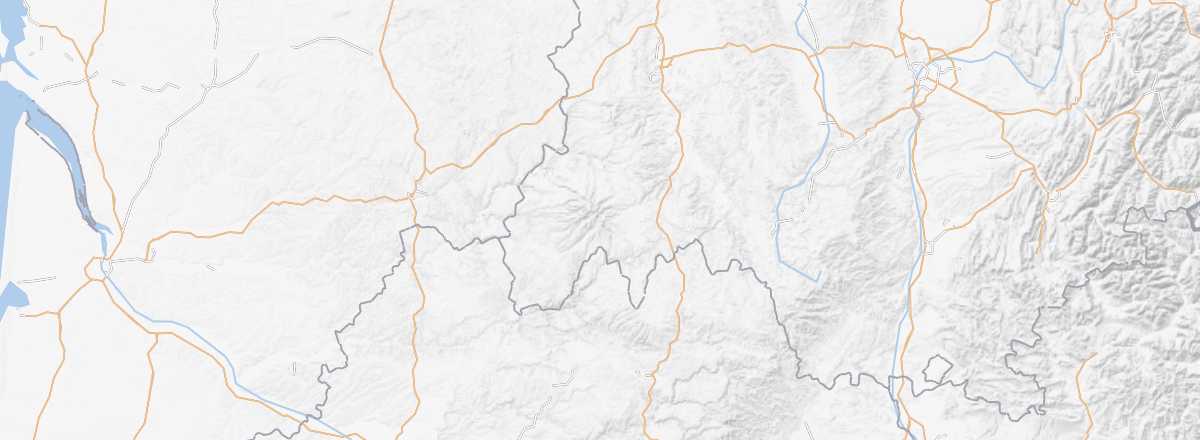 Cantal
Open the interactive map
Cantal
Open the interactive map
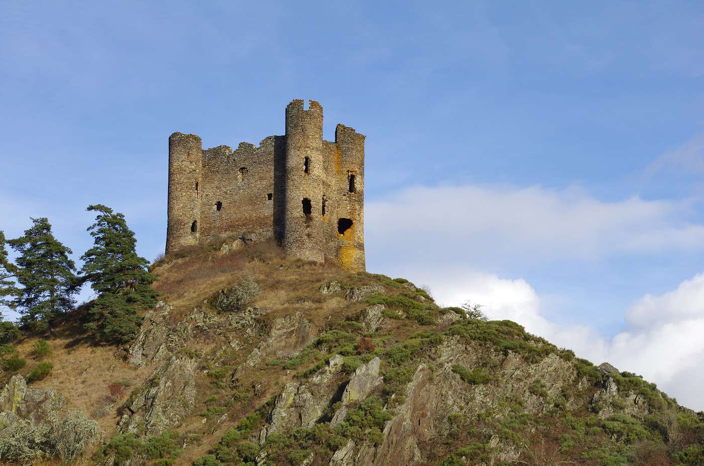
Cantal remains a top destination for nature lovers. Just with the Monts du Cantal, the Regional Volcano Park of Auvergne, and a few "puys" (Griou, Mary...), there is plenty to see and do—especially when you add in some medieval castles and villages (Salers, Tournemire...).
Overview
Key Facts
- Type of place: department.
- Location:
- Department code: 15.
- Bordering departments: Aveyron, Corrèze, Haute-Loire, Lot, Lozère and Puy-de-Dôme.
- Prefecture: Aurillac.
- Sub-prefectures: Mauriac, Saint-Flour.
- Number of communes: 247.
- Population: 145,143 inhabitants (2017).
- Area: 5,726 km².
- Highest point: 1,855 m (Saint-Jacques).
- Lowest point: 180 m (Cassaniouze).
- Coastline: 0 km; no maritime access.
- Highlights (out of ): Nature ; Culture ; Relaxation-holidays /
- Website: http://www.cantal-destination.com
History of Cantal
Geography and Environment
Culture and Economy
What to See in Cantal
Easily associated with the Massif Central, its landscapes, countryside, and ancient volcanoes, Cantal remains the top destination for nature lovers in this part of France. Just with the Cantal Mountains, the Auvergne Volcanoes Regional Nature Park, and a few "puys" (Griou, Mary...), there is plenty to see and do—especially when you add in some medieval castles and villages (Salers, Tournemire...).
What to Do in Cantal
Climate and Weather
Cantal is divided into three climatic zones: the west has a sub-oceanic climate with heavy rainfall, the mountainous center also has high rainfall and heavy snowfall in winter, and the east of the department is drier and more southern.