★ 1 · last edited Dec 11, 2019
Châlus
Contributionsversion #1created Dec 11, 2019Report this pageLatest contributions in this guideContributors to this guide
Location verified location
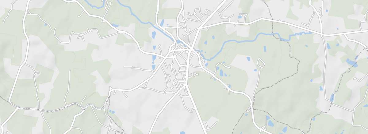 Châlus
Open the interactive map
Châlus
Open the interactive map
This large village in the heart of the Périgord-Limousin park has the remains of two fortified castles.
Introduction to Châlus
This large village in the heart of the Périgord-Limousin park has the remains of two fortified castles.
Key Facts
- Type de lieu: village.
- Intérêt touristique: (worth a stop if you are in the area).
- Localisation: southwest of Limoges, in the Haute-Vienne department.
- Distances:
- Heure locale: .
- Population: 1,611 inhabitants (2016).
- Superficie: 27.98 km².
- Altitude: from 310 to 444 m.
- Site internet: http://www.tourismemontsdechalus.fr
History of Châlus
What to See and Do in Châlus
The main attraction of the village is the remains of its two castles.
Ecomuseum of the Pays de Châlus
Housed in former stables, the site displays numerous objects showcasing rural life in the Limousin countryside during the 19th and 20th centuries.
Housed in former stables, the site displays numerous objects showcasing rural life in the Limousin countryside during the 19th and 20th centuries.
In the Surrounding Area
Périgord-Limousin Regional Nature Park
This is a vast area of hedgerows and forests shared by the Haute-Vienne and Dordogne departments.
This is a vast area of hedgerows and forests shared by the Haute-Vienne and Dordogne departments.
Climate and Weather in Châlus
Transportation
Getting There
Getting Around
Accommodation
Dining
Useful Addresses
Further Information
Worth a look / Other
Périgord-Limousin Regional Nature Park
★★ This is a vast area of hedgerows and forests shared by the Haute-Vienne and Dordogne departments.
Ecomuseum of the Pays de Châlus
★ Housed in former stables, the site displays numerous objects showcasing rural life in the Limousin countryside during the 19th and 20th…