★ 3 · last edited Dec 11, 2019
"Death Road"
Location verified location
 "Death Road"
Open the interactive map
"Death Road"
Open the interactive map
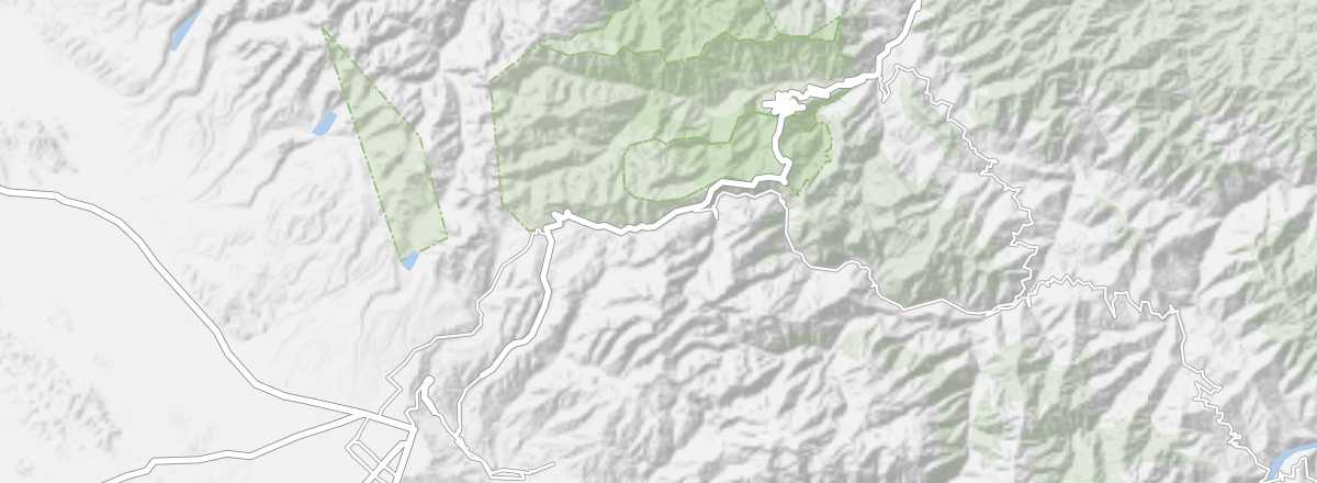
Also known as the "Yungas Road". Between La Paz and Coroico, this impressive route—which you can also descend by bike—offers a 3,000 m elevation drop over 69 km.
Overview of the "Death Road"
Also known as the "Yungas Road"... Between La Paz and Coroico, this impressive route—which you can also descend by bike—offers a 3,000 m elevation drop over 69 km.
Key details
- Type of place: scenic route.
- Tourist interest: (recommended).
- Theme:
- Location:
- Local time:
- Main towns:
- Length: 69 km.
- Altitude: from 4,650 m (La Paz) to 1,200 m (Coroico).
- Website: