last edited Dec 11, 2019
Getting Around Central Mexico
Location Map of Central Mexico
 Central Mexico
Open the interactive map
Central Mexico
Open the interactive map
What to Choose for Getting Around?
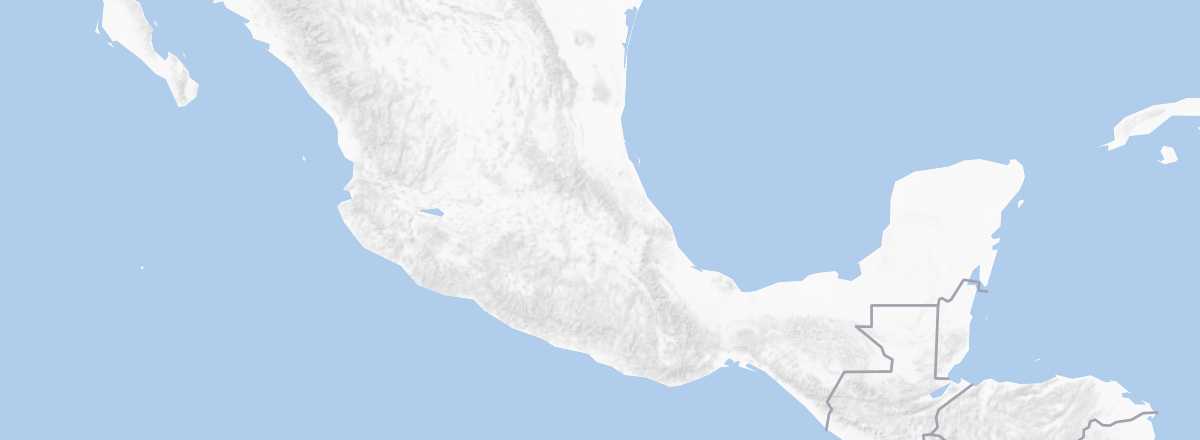
Although central Mexico covers a large area, most of its points of interest are primarily urban, roughly along the Puerto Vallarta–Mexico City–Veracruz axis, with many colonial cities. As a result, it’s easy to plan a trip using the region’s extensive bus network. In short, while a car offers more freedom, it’s not essential for exploring this part of the country.
That said, for some long-distance routes, flying—especially from the capital—can be a good option. There are plenty of routes, and low-cost airlines often offer great prices. For example, you can find Mexico City–Puerto Vallarta flights for under 50 €.
Distances Between Cities
Distances (km) between the main cities in the region:
| Acap. | Agua. | Guada. | Mexico | Morelia | Oaxa. | Puebla | P. Vall. | S. Luis | Toluca | Vera. | |
|---|---|---|---|---|---|---|---|---|---|---|---|
| Acapulco | 880 | 900 | 380 | 635 | 560 | 450 | 960 | 790 | 380 | 725 | |
| Aguascalientes | 880 | 220 | 505 | 320 | 955 | 620 | 520 | 170 | 490 | 890 | |
| Guadalajara | 900 | 220 | 540 | 290 | 1000 | 665 | 310 | 330 | 475 | 930 | |
| Mexico | 380 | 505 | 540 | 295 | 465 | 130 | 840 | 420 | 65 | 400 | |
| Morelia | 635 | 320 | 290 | 295 | 750 | 420 | 590 | 340 | 230 | 685 | |
| Oaxaca | 560 | 955 | 1000 | 465 | 750 | 340 | 1300 | 865 | 525 | 370 | |
| Puebla | 450 | 620 | 665 | 130 | 420 | 340 | 965 | 530 | 190 | 275 | |
| Puerto Vallarta | 960 | 520 | 310 | 840 | 590 | 1300 | 965 | 630 | 775 | 1230 | |
| San Luis Potosi | 790 | 170 | 330 | 420 | 340 | 865 | 530 | 630 | 395 | 790 | |
| Toluca | 380 | 490 | 475 | 65 | 230 | 525 | 190 | 775 | 395 | 460 | |
| Veracruz | 725 | 890 | 930 | 400 | 685 | 370 | 275 | 1230 | 790 | 460 |