last edited Dec 11, 2019
Getting Around in New Caledonia
Location Map of New Caledonia
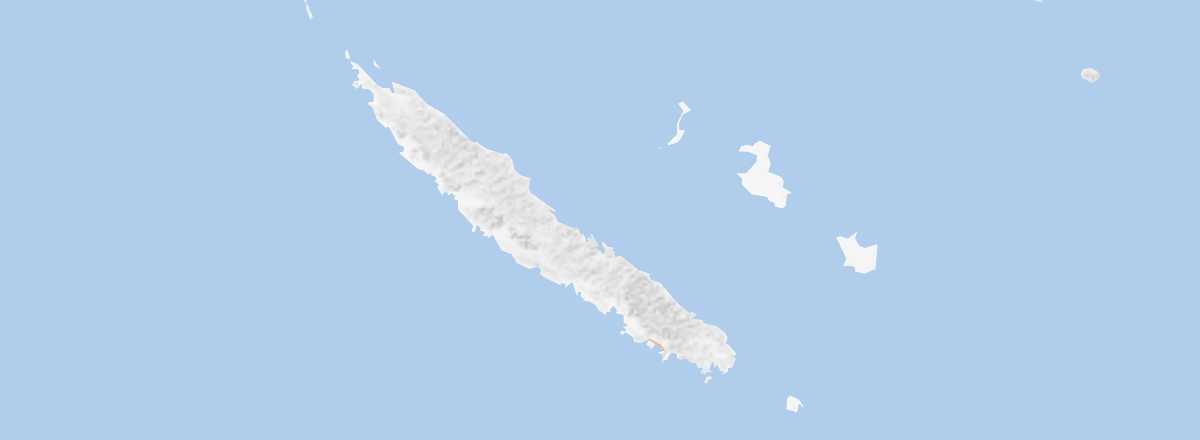 New Caledonia
Open the interactive map
New Caledonia
Open the interactive map
Between the Islands
Travel within the archipelago can be done by air or occasionally by sea.
Distances (km) between Grande Terre and the other islands in the archipelago:
| Belep | Lifou | Maré | Ouvéa | Île des Pins | Tiga | |
|---|---|---|---|---|---|---|
| Grande Terre |
By Air
By Boat
On Grande Terre
Road Network and Traffic
Car and Campervan Rental
Buses
Two Wheels
Hitchhiking
Domestic Flights
In Town
Choosing Your Transport
Distances
Distances (km) between the main locations on the island:
| Bourail | Hiengh. | Koné | Koumac | Mt-Dore | Nouméa | Poind. | Poum | Thio | Yaté | |
|---|---|---|---|---|---|---|---|---|---|---|
| Bourail | ||||||||||
| Hienghène | ||||||||||
| Koné | ||||||||||
| Koumac | ||||||||||
| Mont-Dore | ||||||||||
| Nouméa | ||||||||||
| Poindimié | ||||||||||
| Poum | ||||||||||
| Thio | ||||||||||
| Yaté |