last edited Dec 11, 2019
Getting Around Paraguay
Location Map of Paraguay
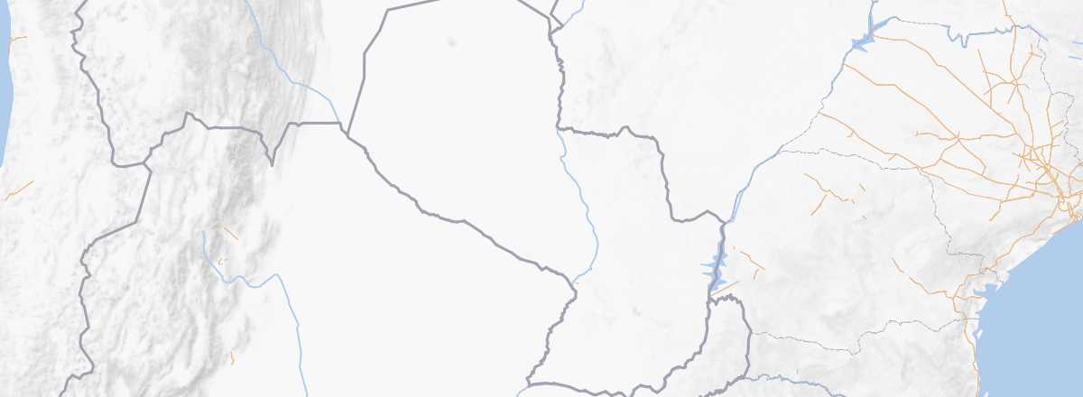 Paraguay
Open the interactive map
Paraguay
Open the interactive map
Road Network, Traffic
While the road network serving the main urban areas isn't too bad—even good on the Asuncion-Iguazu route—once you leave the major arteries, you quickly encounter dirt tracks or poor roads. This is especially true in the northern part of the country (the Chaco), which is the least populated and where a 4x4 can be useful. Additionally, during the rainy season, some routes may be cut off.
Car, Camper Van
Rental
Bus
Two Wheels
Motorcycle
Bicycle
Hitchhiking
Trains
There is no longer a functioning railway system in Paraguay, just a small tourist steam train with irregular departures from the capital, covering a few dozen kilometers.
Boats
The country has 2,500 km of navigable waterways. There are a few boats available for crossing or traveling locally along rivers, such as the Asuncion-Concepcion route (a bit long but inexpensive). In theory, it is also possible to travel from Paraguay to neighboring countries by river.
Domestic Flights
In Town
Taxis
Other Means
What to Choose for Getting Around?
Distances Between Cities
Distances (km) between the main cities and tourist sites in the country:
| Asuncion | C. del Este | Conception | Encarnacion | Filadelfia | San Ignacio | |
|---|---|---|---|---|---|---|
| Asuncion | ||||||
| Ciudad del Este | ||||||
| Conception | ||||||
| Encarnacion | ||||||
| Filadelfia | ||||||
| San Ignacio |