★ 4 · last edited Dec 11, 2019
Highway 1
Location verified location
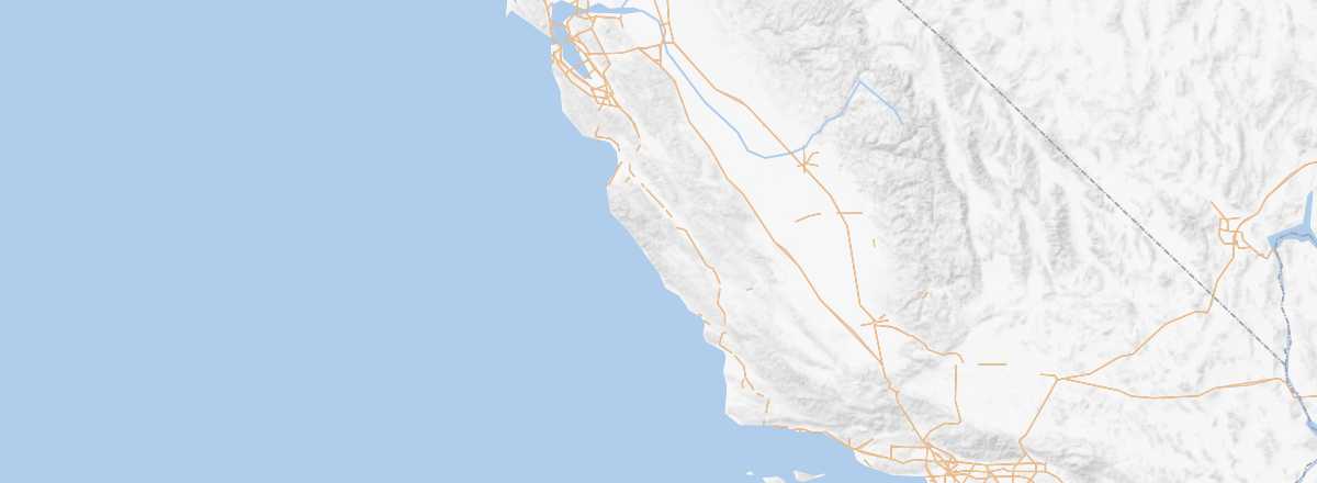 Highway 1
Open the interactive map
Highway 1
Open the interactive map
Officially the "California State Route 1." This famous road runs along the coast for nearly 900 km, from north of San Francisco to south of Los Angeles. It’s one of the most beautiful and tourist-friendly routes in the USA, especially between SF and LA, offering a chance to explore the coastline and all the towns worth stopping at along the way.
Overview of Highway 1
Officially known as the "California State Route 1," it also has more "local" designations like the "Cabrillo Highway." This famous road runs along the coast for nearly 900 km, from the north of San Francisco to the south of Los Angeles. It’s one of the most beautiful and tourist-friendly routes in the USA, especially between SF and LA, offering a chance to explore the coastline and all the small (or large) towns worth stopping at along the way.
Key Details
- Type of place: scenic route.
- Tourist interest: (must-see or highly recommended).
- Theme: scenic route.
- Location:
- Local time:
- Main towns:
- Length: 882.87 kilometers.
- Altitude: seaside.
- Website: www.visitcalifornia.com