★ 2 · last edited Dec 11, 2019
Hokianga
Location verified location
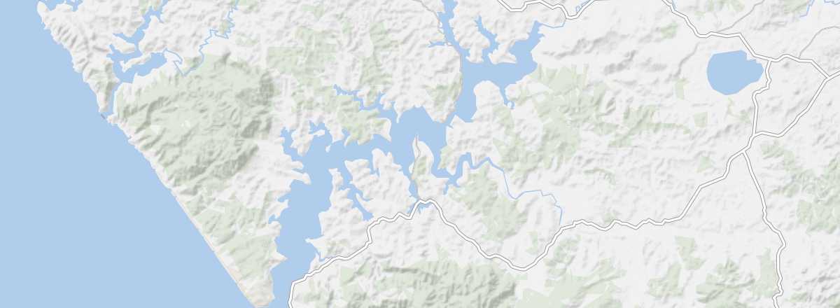 Hokianga
Open the interactive map
Hokianga
Open the interactive map
This long northern estuary has become a tourist area thanks to the Waipoua Forest and its giant trees, the rock formations of Horeke, the "sculpted dunes" of Opononi, and the small "historic" villages of Kohukohu and Rawene. You can also hike here.
Overview of Hokianga
This long northern estuary has become a tourist area thanks to the Waipoua Forest and its giant trees, the rock formations of Horeke, the "sculpted dunes" of Opononi, and the small "historic" villages of Kohukohu and Rawene. You can also hike here.
Key Details
- Type of place: sea inlet.
- Tourist interest: (worth seeing).
- Location:
- Local time:
- Area:
- Highest point:
- Website: http://hokiangatourism.org.nz