last edited Jul 28, 2020
Introduction to El Hierro
Location Map of El Hierro
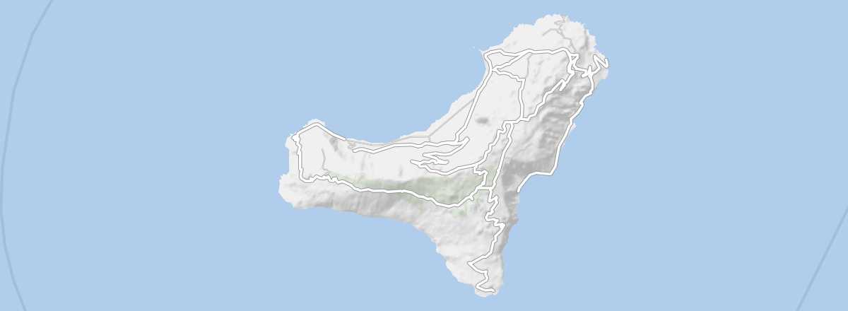 El Hierro
Open the interactive map
El Hierro
Open the interactive map
Overview of El Hierro
Small, isolated, and sparsely populated, El Hierro—the Isle of Iron—offers a peaceful and distinctly different experience from the rest of the Canary Islands. It is the wildest in terms of landscapes and also the least visited of all the "main" Canary Islands. Since 2014, the island has achieved energy independence through the use of renewable energy.
Key Facts
- Type of place: island.
- Location: the westernmost of all the islands in the archipelago.
- Latitude/longitude: 27.44' N, 18.03' W.
- "Capital": Valverde.
- Population: 11,000 inhabitants (2011).
- Area: 287 km².
- Density: 38 inhabitants/km².
- Highest point: Pico de Malpaso (1,501 m).
- Lowest point: sea level.
- Local time: .
- Tourist interest: (worth seeing).
- Website:
History and Culture of El Hierro
Climate and Weather of El Hierro
Sea Temperature Throughout the Year
| Jan. | Feb. | Mar. | Apr. | May | Jun. | Jul. | Aug. | Sep. | Oct. | Nov. | Dec. | |
|---|---|---|---|---|---|---|---|---|---|---|---|---|
| El Hierro | 19 | 18 | 18 | 19 | 19 | 20 | 21 | 22 | 23 | 22 | 21 | 19 |