last edited Dec 11, 2019
Introduction to Malta
Location Map of Malta
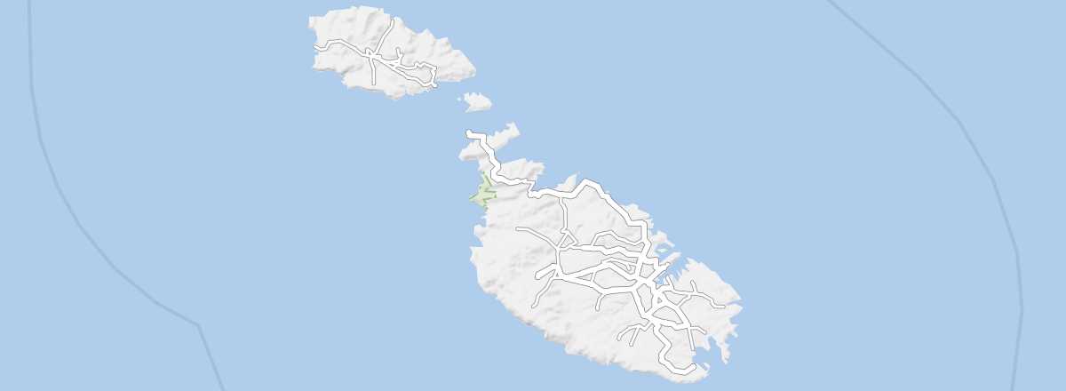 Malta
Open the interactive map
Malta
Open the interactive map
Quick Overview
Rising from the blue waters of the Mediterranean Sea, the Maltese archipelago consists of the island of Malta, home to the capital, its small neighbor Gozo, and various islets. Malta measures 27 km by 16 km and has a low-lying limestone landscape, with no point exceeding 300 m in altitude. Since the archipelago has no freshwater, it comes from the desalination of seawater.
Key Facts
- Type of place: country.
- Latitude/longitude: 35.50' N, 14.35' E.
- Local time:
- Capital: Valletta.
- Nature of the state: parliamentary republic.
- Official languages: Maltese and English.
- Currency: euro.
- Population: 605,764 inhabitants (2018).
- Area: 316 km².
- Density: 1,916 inhabitants/km².
- Highest point: Ta'Dmejrek (253 m).
- Lowest point: sea level.
- Coastline: 197 km.
- Driving: on the left.
Tourism
Though it gets less attention than other countries, Malta is a major tourist destination, welcoming the equivalent of four times its population each year (2.599 million visitors in 2018), to the point that the sector now accounts for 25% of national GDP. The recent decline in tourism to North Africa has also helped, driving annual growth of between 5% and 10%.
Logically, the British make up the largest group of visitors to Malta (a quarter of all arrivals), far ahead of Italians, Germans, and the French, who numbered 144,800 in 2016. July and August see the highest numbers, along with short breaks and extended weekends between March and the end of October. On average, visitors stay for about a week.
Travel Essentials
- Destination: for beginner travelers.
- By air: France-Malta for 160/300 €.
- Entry requirements: ID card or passport.
- Currency to bring: euro.
- Exchange rate:
- Daily "backpacker" budget: 45 to 60 € per person.
- Accommodation: guesthouses or, for groups, a weekly house or apartment rental.
- Getting around: bus or, at a stretch, car.
- Risks: virtually none in terms of health or safety.
- Best time for climate/crowds/prices: from late March to mid-June and from late September to the end of October.
- Interests (out of ): Nature ; Adventure ; Culture ; Relaxation/Holidays .
Addresses in France
Tourist Office: online only.
Addresses in Belgium, Switzerland, and Quebec
Socio-Economic Statistics
- "Quality of life": 29/188 (2018 ranking)
- GDP per capita: $41,900 (2017)
- Average monthly income: $3,225 (2012)
- Inflation: +1.3% (2017)
- "Official" unemployment: 4.6% (2017)
- Population below poverty line: 16.3% (2015)
- Life expectancy: 82.7 years (2018)
- Migration rate per 1,000 inhabitants: +2 (2017)
- Population growth: +0.99% (2018)
- Literacy rate: 94.4% (2015)
- Urban population: 94.6% (2018)
- Press freedom: 65/180 (2018 ranking)
- Political regime: democracy (18/167 in 2018)
Sources: World Bank, Human Development Indicators, RSF, The Economist, The World Factbook