last edited Dec 11, 2019
Introduction to Normandy
Location Map of Normandy
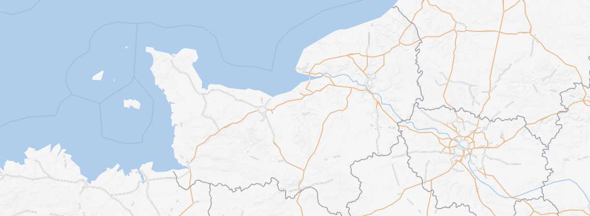 Normandy
Open the interactive map
Normandy
Open the interactive map
Overview
Key Facts
- Type of place: tourist region.
- Location: along the English Channel, northwest of Paris.
- Local time:
- Administrative region: Normandy (prefecture: Rouen).
- Departments: Calvados (14), Eure (27), Manche (50), Orne (61) and Seine-Maritime (76).
- Main cities: Alençon, Caen, Cherbourg, Évreux, Le Havre, Rouen...
- Population: 3,328,000 inhabitants (2014).
- Area: 29,906 km².
- Density: 111 inhabitants/km².
- Highest point:
- Lowest point: sea level.
- Coastline:
Tourism
A favourite weekend getaway for Parisians seeking countryside or seaside, Normandy also boasts numerous other attractions that can easily extend a stay. From the iconic Mont Saint-Michel to the D-Day Landing Beaches, charming towns (Rouen, Honfleur...) and the Norman countryside dotted with abbeys and castles, the region has plenty to offer.
Where to get information?
Departmental Tourism Committees
Travel Essentials
- Backpacker daily budget:
- Best for accommodation:
- Best for getting around:
- Best time for weather/crowds/prices:
- Highlights (out of ): Nature ; Adventure ; Culture /; Relaxation/Holidays
- Website: