★ 2 · last edited Dec 11, 2019
Kuril Islands
Location verified location
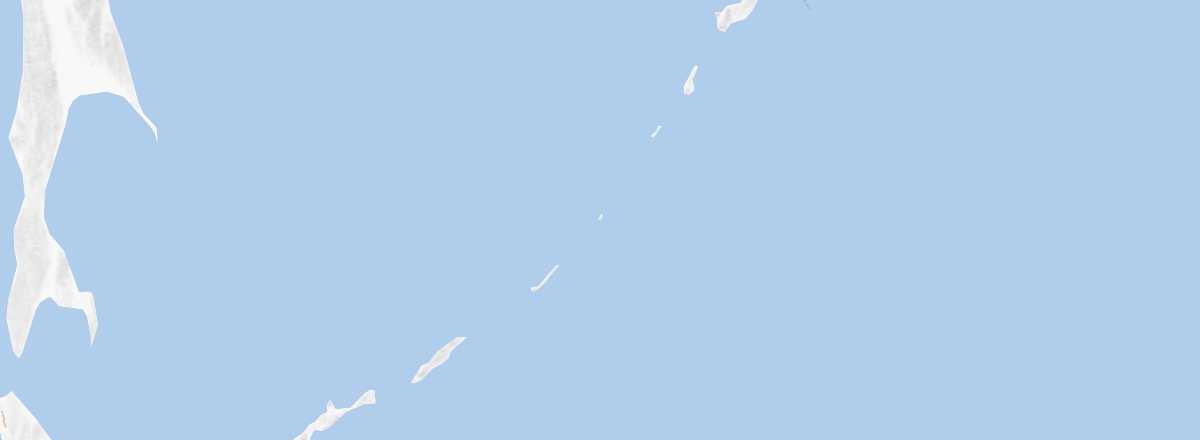 Kuril Islands
Open the interactive map
Kuril Islands
Open the interactive map
A long volcanic archipelago stretching over 1,000 km between Kamchatka and Japan, which claims it. Stunning landscapes await.
Overview of the Kuril Islands
This is a long volcanic archipelago stretching over 1,000 km between Kamchatka and Japan, which claims it. Stunning landscapes can be found here.
Key facts
- Type de lieu: archipelago.
- Intérêt touristique: (worth seeing).
- Localisation:
- Heure locale:
- Nombre d'îles: 40 (only four of which are inhabited).
- Iles principales: Iturup, Urup, Kunashir, and Paramushir.
- Population: 18,730 inhabitants (2012).
- Superficie: 10,356 km².
- Point le plus haut: Alaid (2,339 m) on Atlasov Island.
- Littoral:
- Site internet: fr.rbth.com/kouriles