★ 1 · last edited Dec 11, 2019
La Oliva
Location verified location
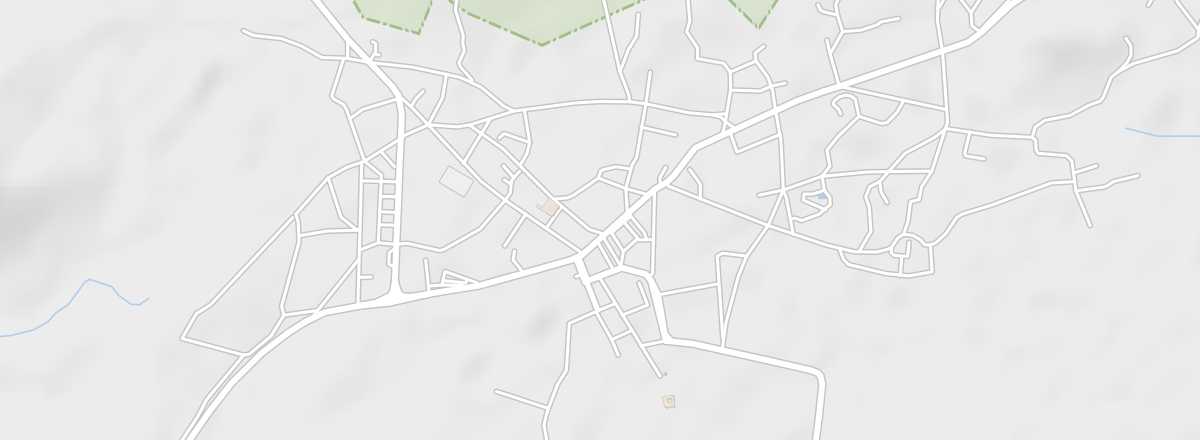 La Oliva
Open the interactive map
La Oliva
Open the interactive map
A municipality in the north, at the entrance to the dunes of Corralejo Natural Park. You can see small stone mills and an underground lava tunnel here.
Overview of La Oliva
This is a municipality in the north of Fuerteventura, at the entrance to the dunes of Corralejo Natural Park. You can see small stone mills and an underground lava tunnel here.
Key Facts
- Type of place: small town.
- Tourist interest: (worth a stop if you are in the area).
- Location:
- Distances:
- Local time: .
- Population: 24,508 inhabitants (2016).
- Area: 356 km².
- Altitude: 219 m.
- Website: www.spain.info/la_oliva.html