★ 1 · last edited Sep 24, 2020
Louisville
Location verified location
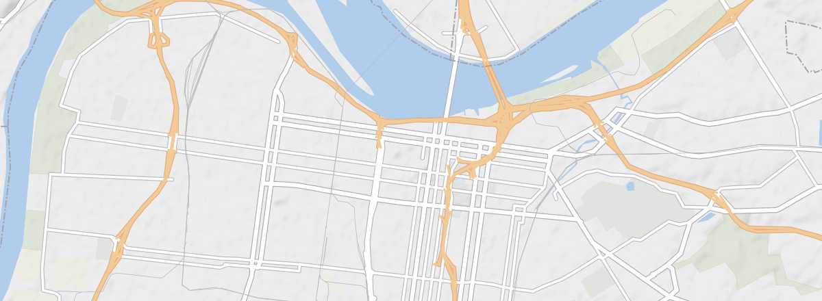 Louisville
Open the interactive map
Louisville
Open the interactive map
The largest city in Kentucky, featuring a historic district with Victorian architecture.
Overview of Louisville
The largest city in Kentucky, with a historic district showcasing Victorian architecture.
Key Facts
- Type of place: city.
- Tourist interest: (worth a stop if you are in the area).
- Location:
- Distances:
- Local time: .
- Population: 616,261 inhabitants (2016).
- Area: 1,032 km².
- Altitude: 142 m.
- Website: https://www.gotolouisville.com
History of Louisville
What to See and Do in Louisville
Climate and Weather in Louisville
Transportation
Getting There
Getting Around
Where to Stay
Where to Eat
Useful Addresses
Nearby
Also worth seeing within a 100 km radius of the city:
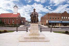
Abraham Lincoln Birthplace National Historical Park
A memorial honoring one of the most famous U.S. presidents.
A memorial honoring one of the most famous U.S. presidents.

Bluegrass Country
A region known, beyond its music, for its bucolic landscapes and horse-breeding farms.
A region known, beyond its music, for its bucolic landscapes and horse-breeding farms.

Cincinnati
On the border with Kentucky, Ohio’s third-largest city has architecture partly dating from the 19th century, though it isn’t truly a tourist destination.
On the border with Kentucky, Ohio’s third-largest city has architecture partly dating from the 19th century, though it isn’t truly a tourist destination.

Brown County State Park
The most visited park in Indiana is appreciated for its panoramic views and hiking opportunities.
The most visited park in Indiana is appreciated for its panoramic views and hiking opportunities.
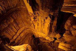
Mammoth Cave National Park
The world's largest cave system, with 600 kilometers of explored passageways. The site is a UNESCO World Heritage Site.
The world's largest cave system, with 600 kilometers of explored passageways. The site is a UNESCO World Heritage Site.