★ 1 · last edited Dec 11, 2019
Ouirgane
Location verified location
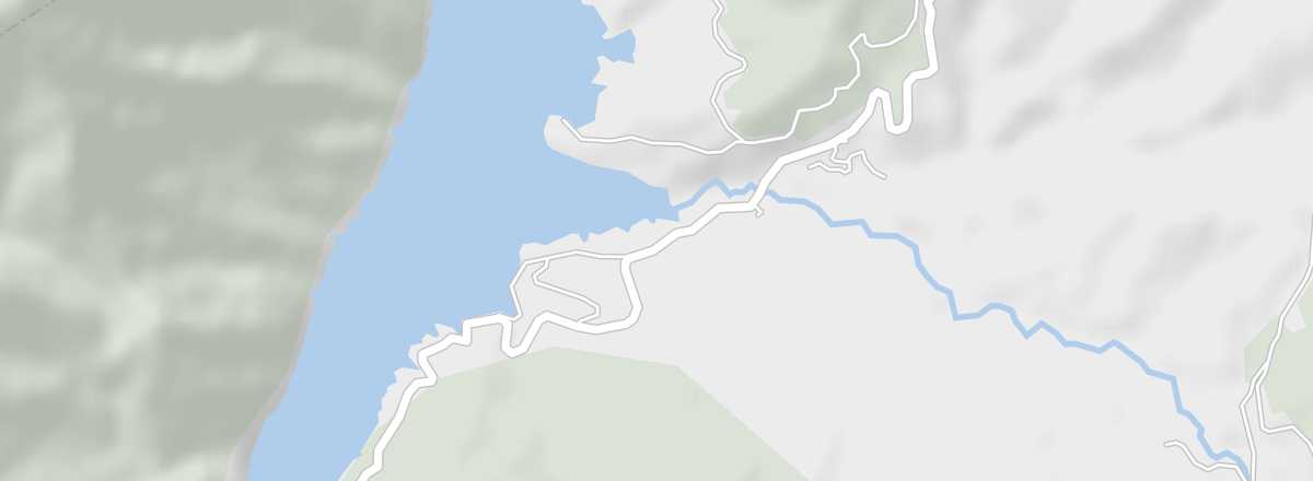 Ouirgane
Open the interactive map
Ouirgane
Open the interactive map
A small town on the Tizi-n-Test road, at the gateway to Toubkal National Park. It serves as a starting point for various hikes in the western part of the park.
Overview of Ouirgane
A small Berber town on the Tizi-n-Test Pass Road, at the gateway to Toubkal. It’s also a starting point for various hikes in the park or toward Lake Lalla Takerkoust.
Key details
- Type of place: small town.
- Tourist interest: (worth a stop if you are in the area).
- Local time: .
- Population: 6,900 inhabitants (2012).
- Area:
- Altitude: 900 m.
- Website: